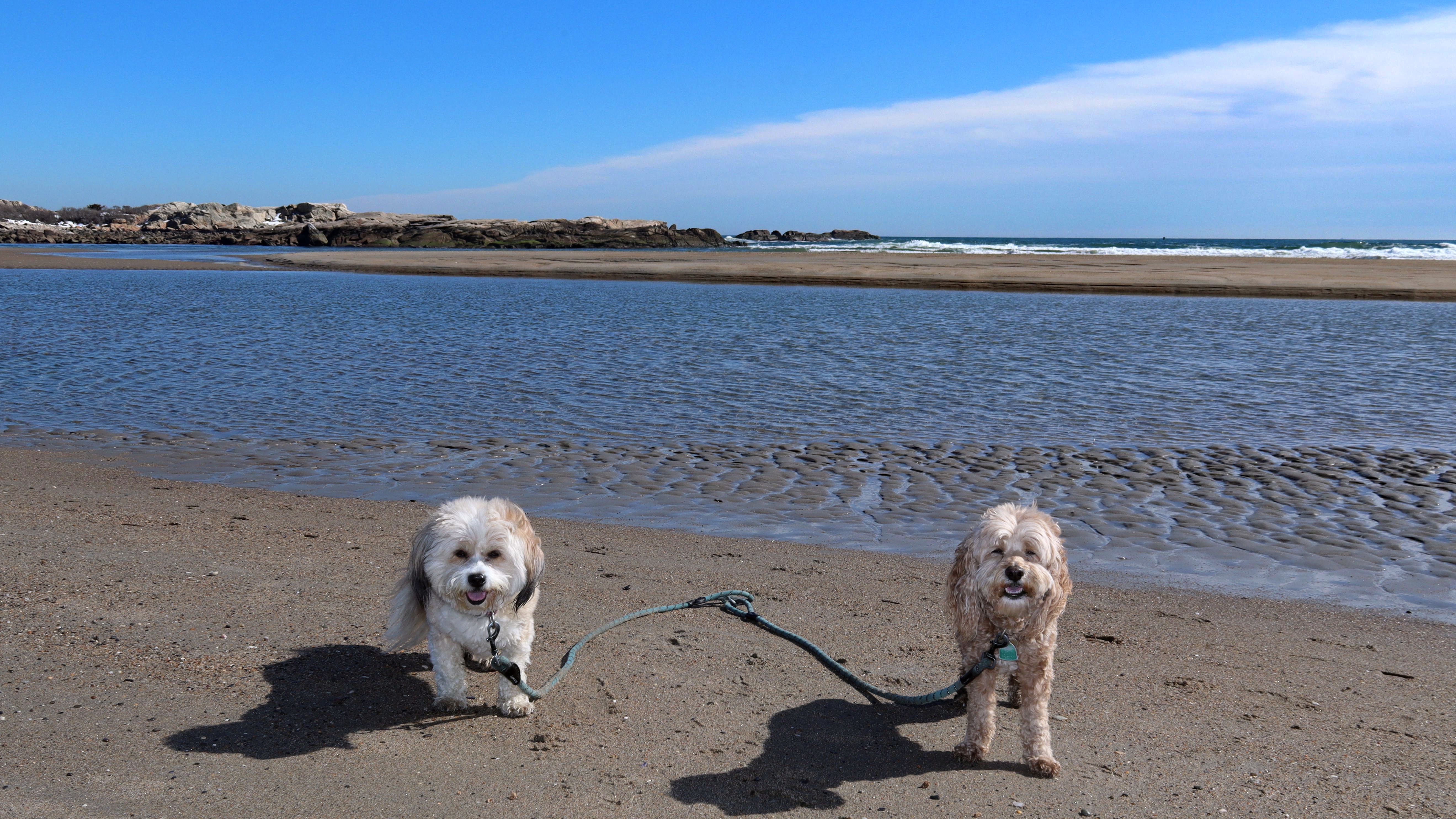
Connecticut
Massachusetts
Rhode Island
New York
New Jersey
Other States
Latest Adventures
About Mandy & Lexi
Beach Guide
FAQ
◂︎ Mandy & Lexi's Rhode Island Adventures
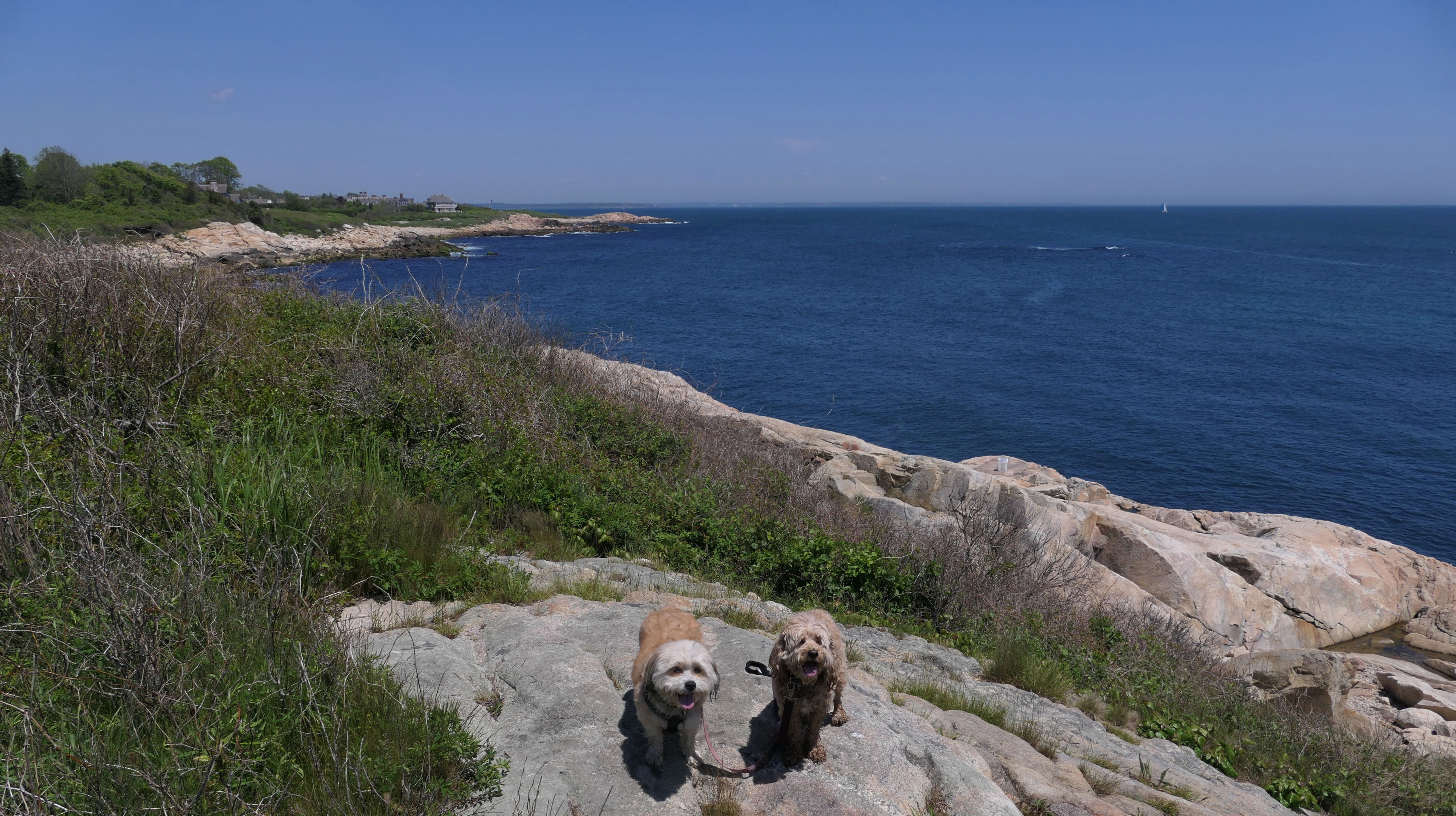
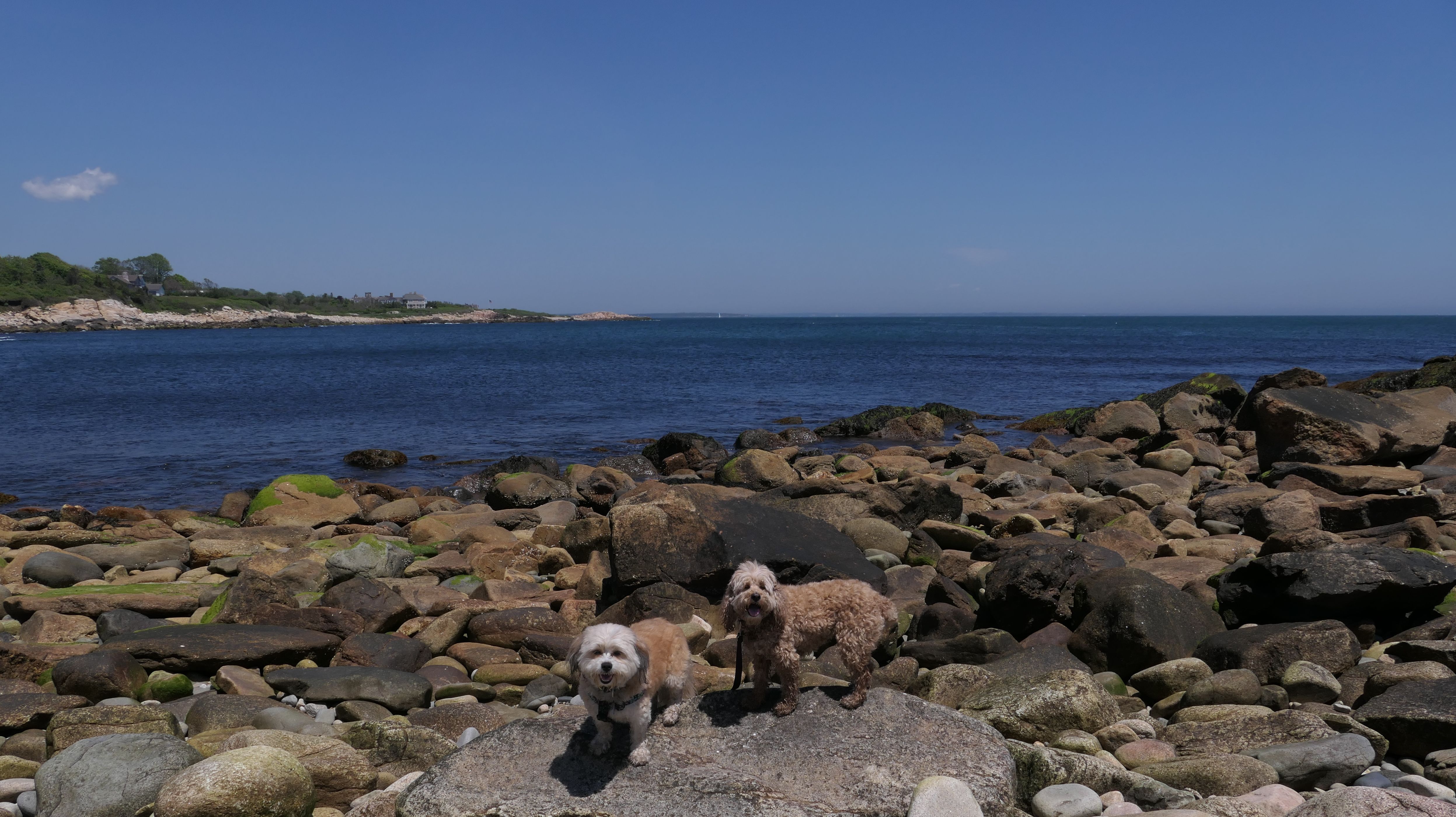
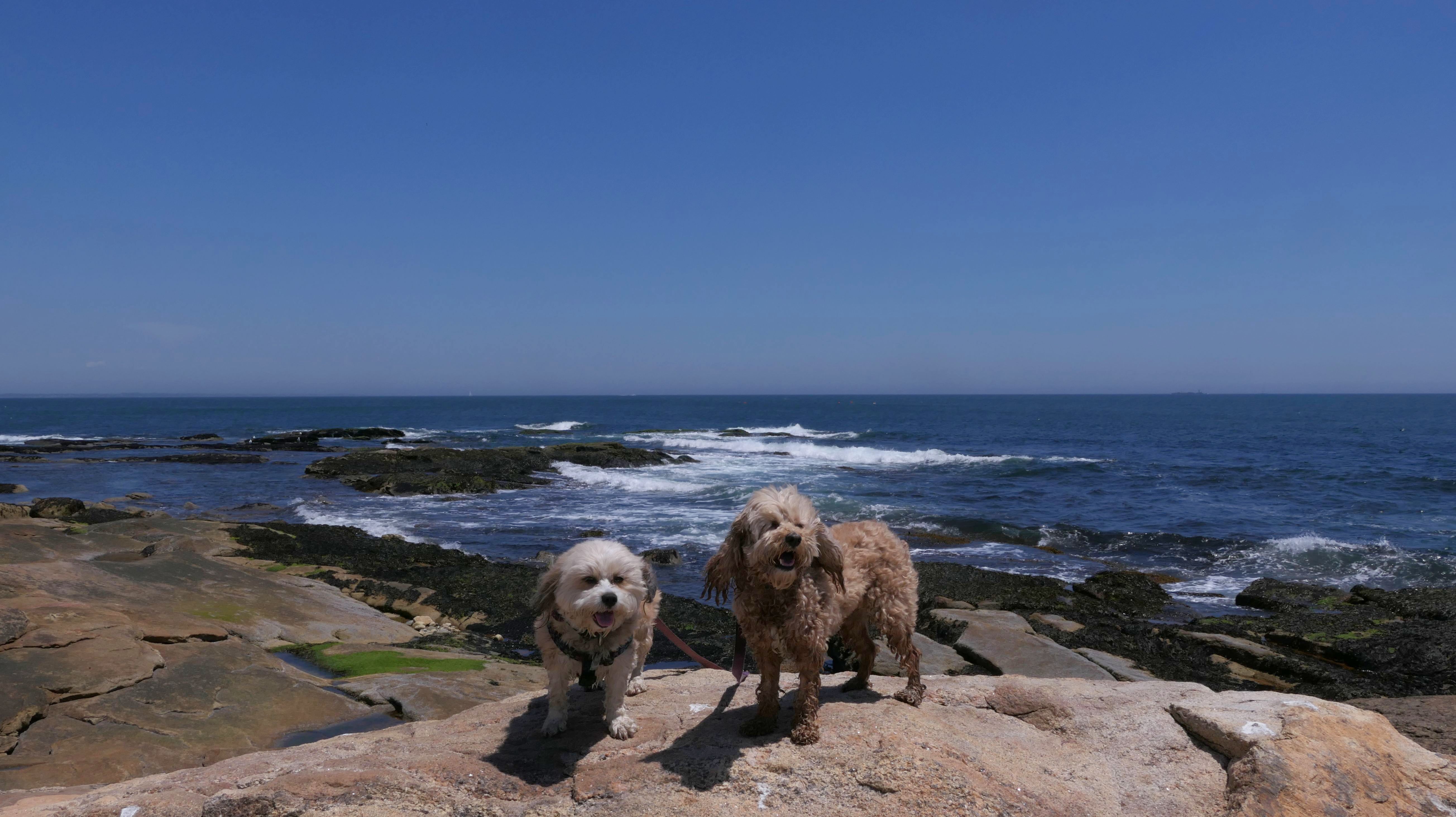
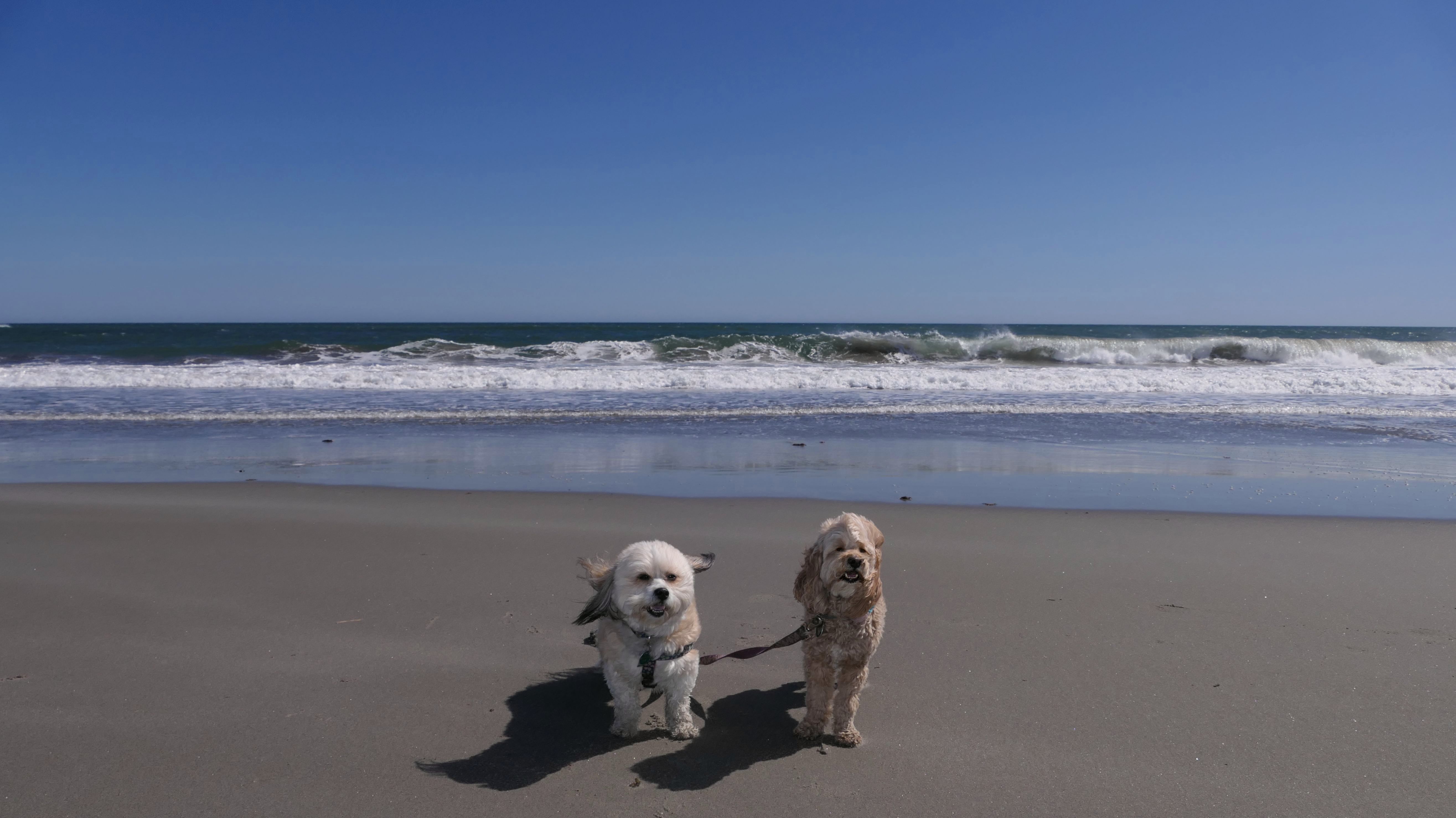
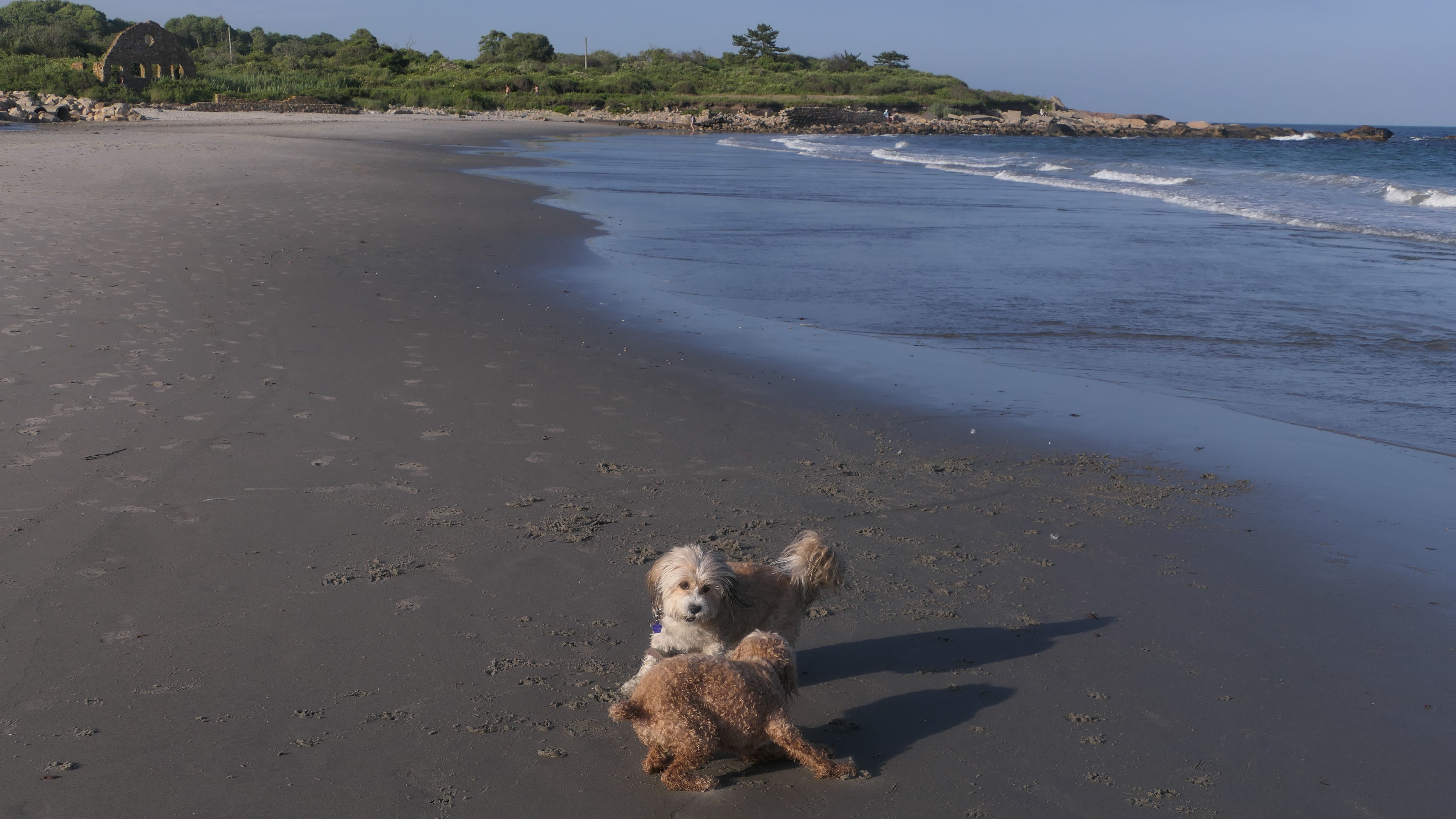
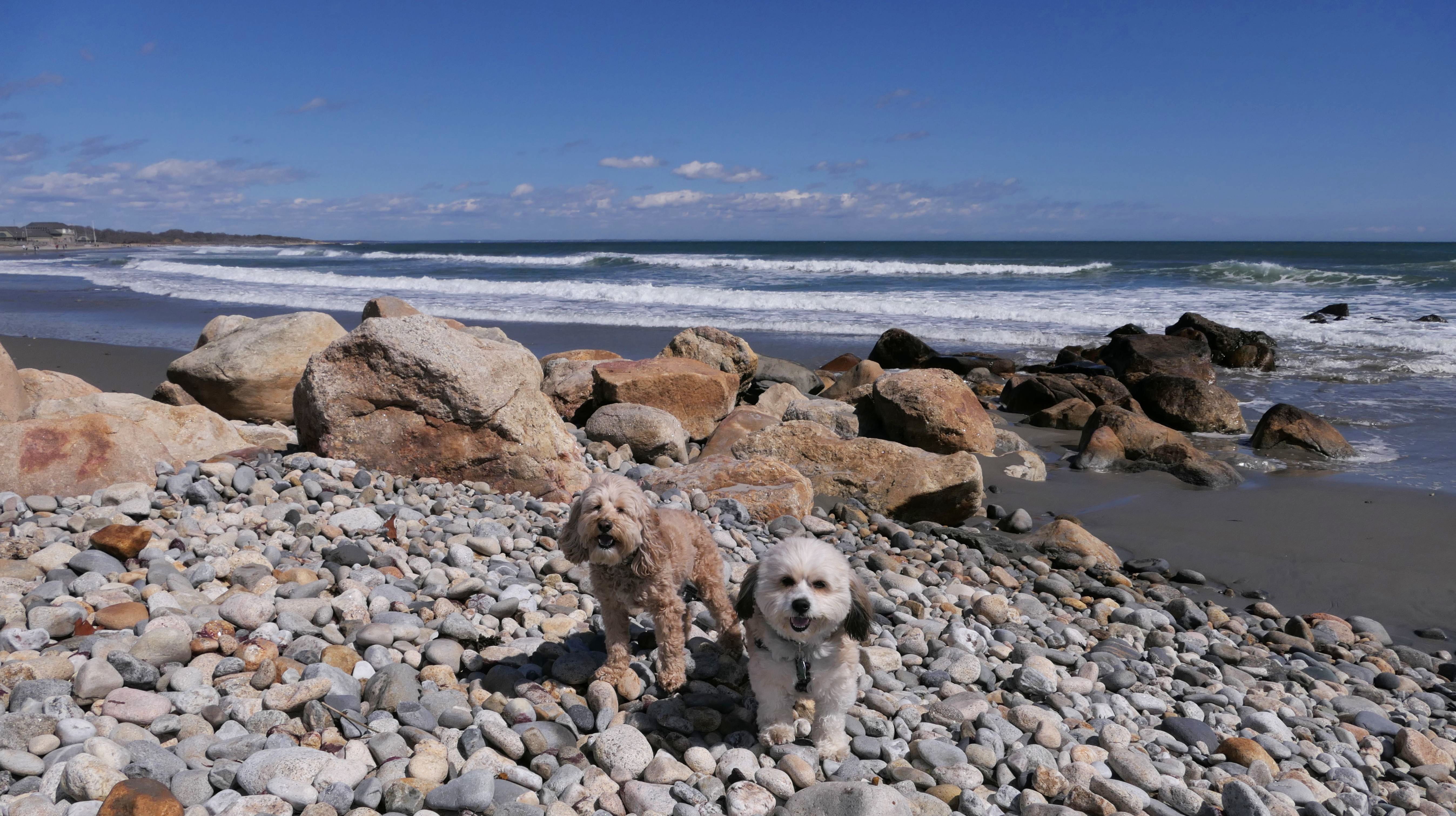
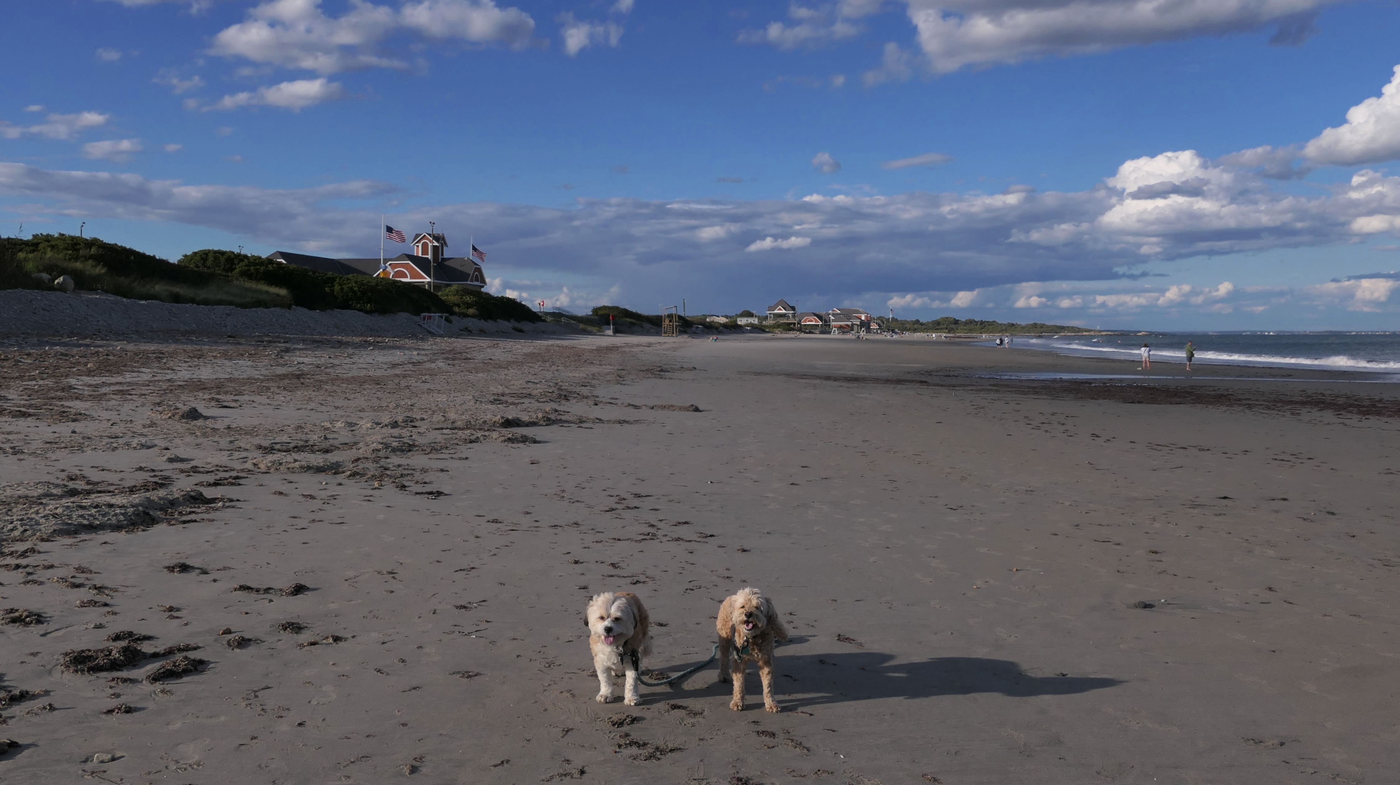
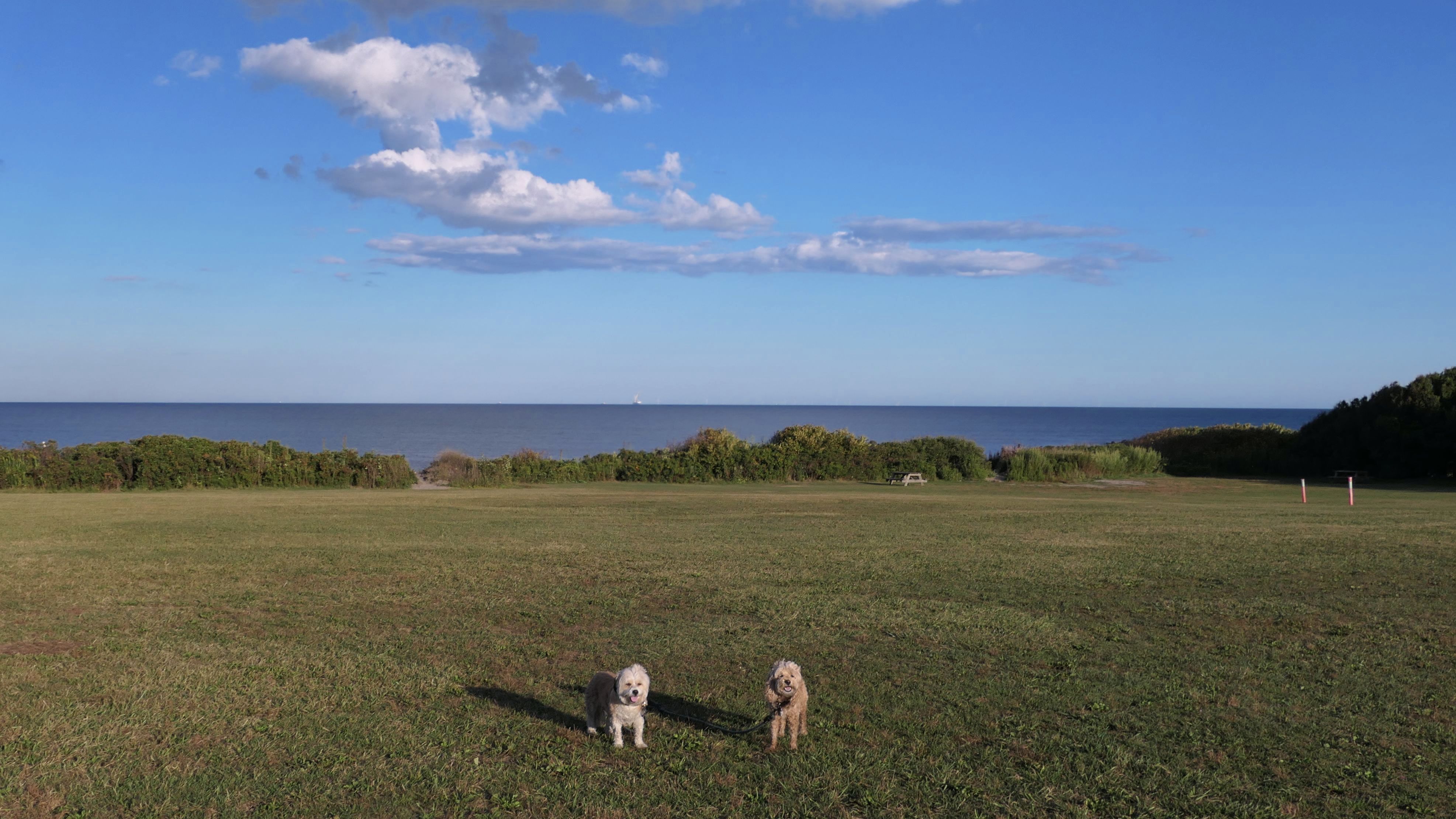
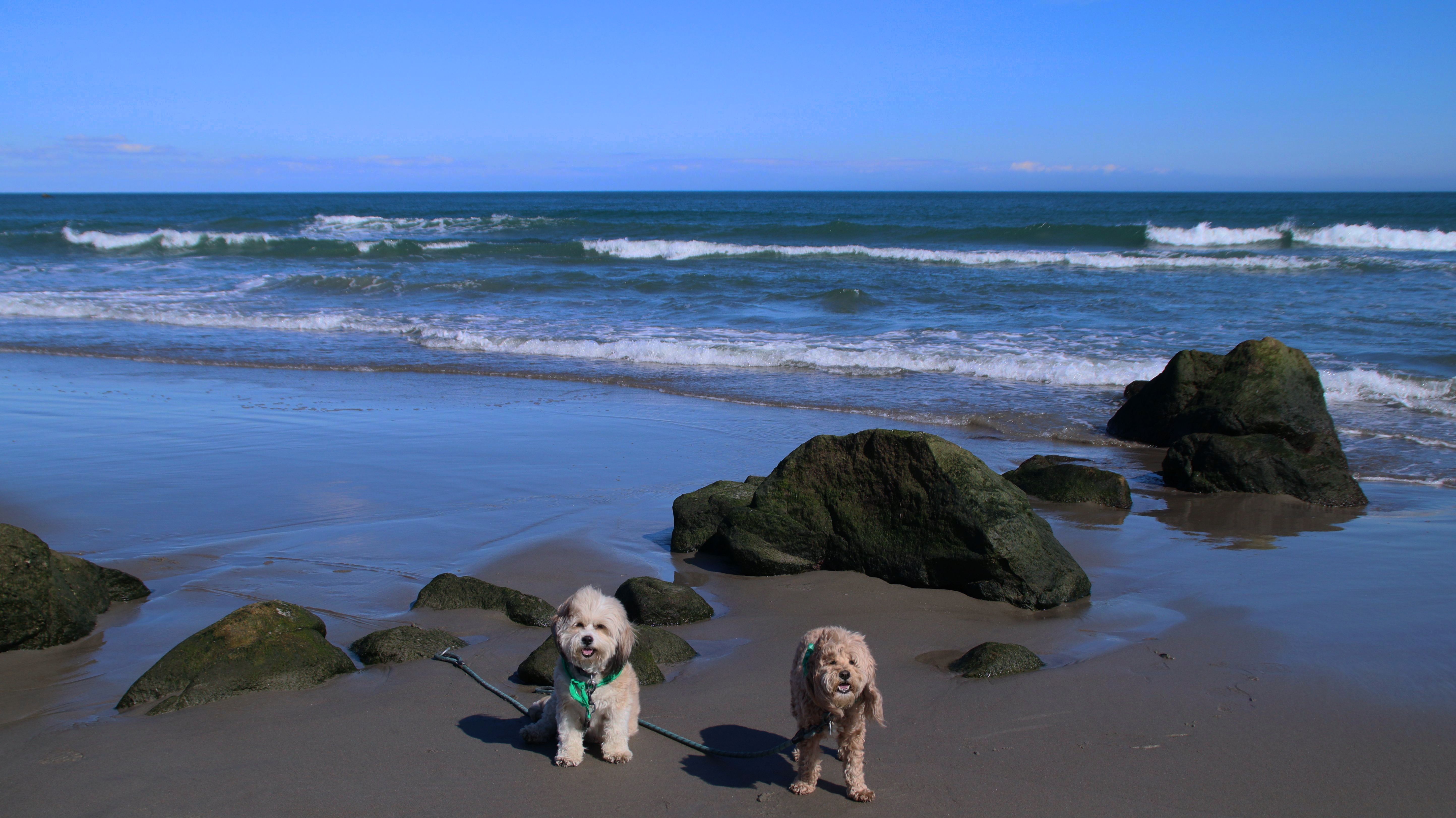
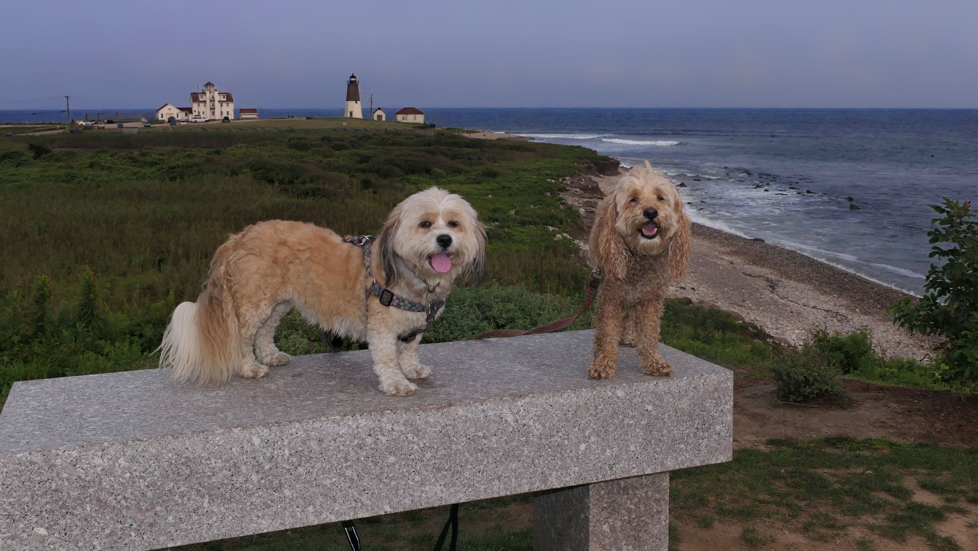
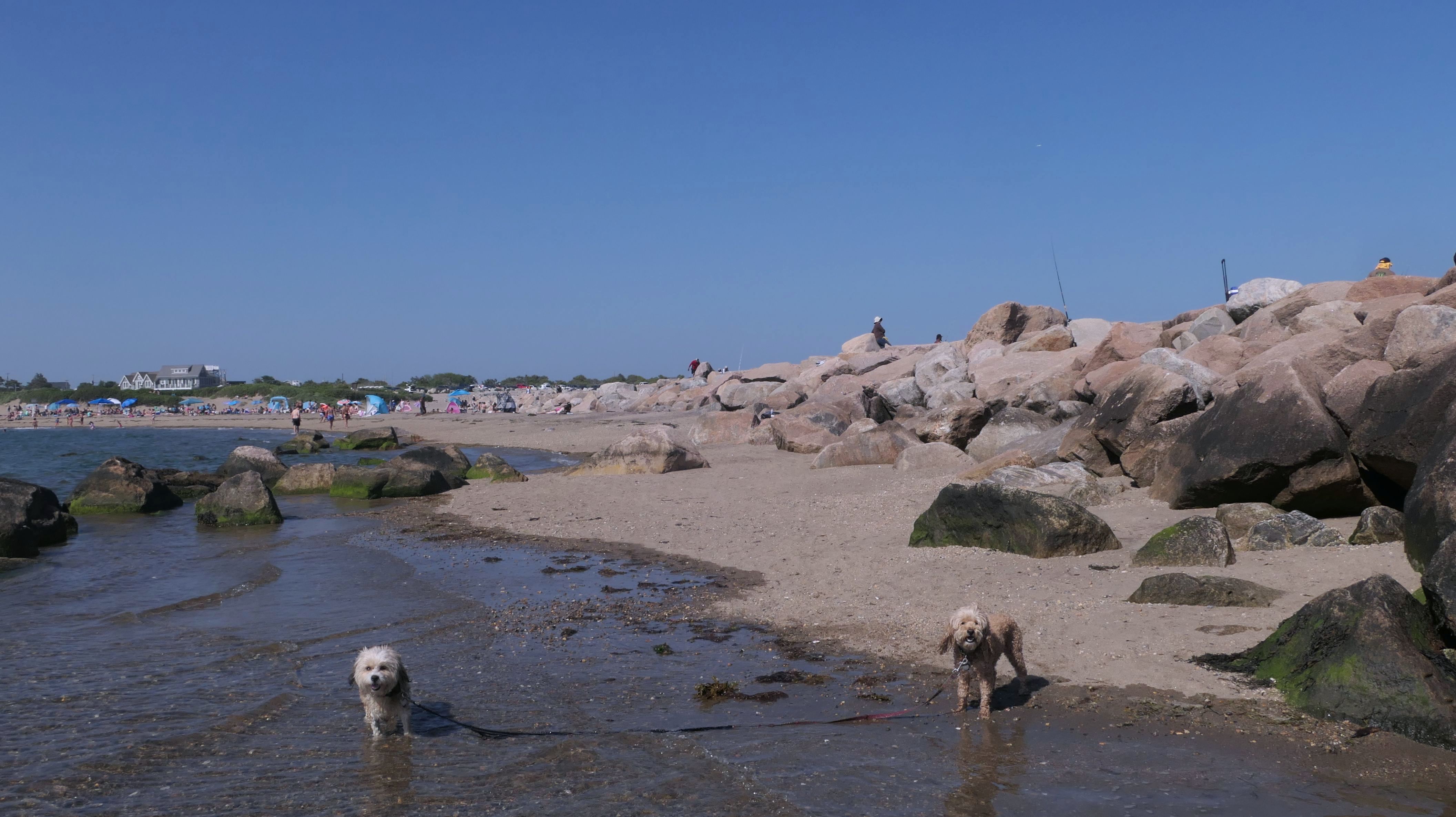
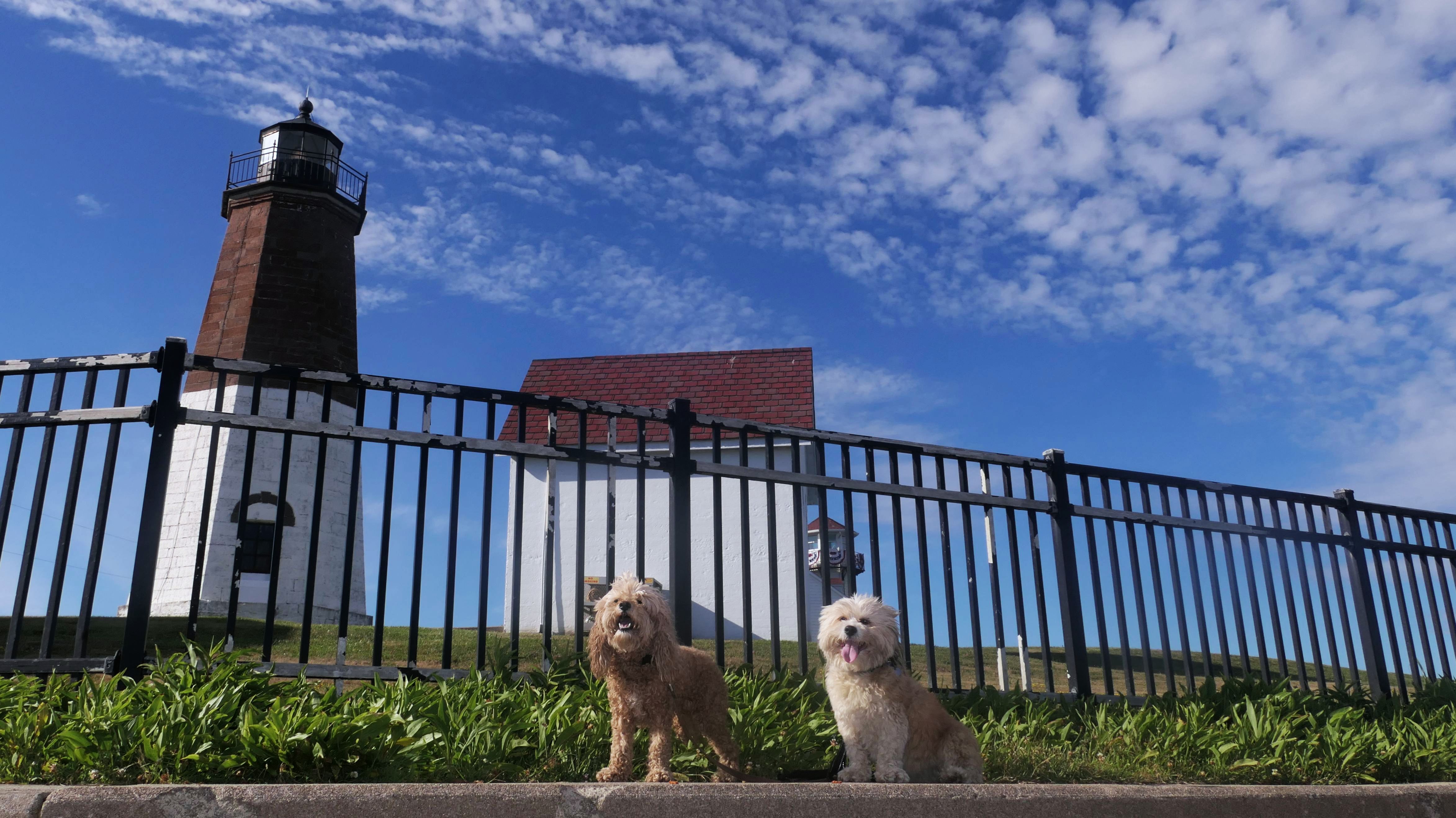
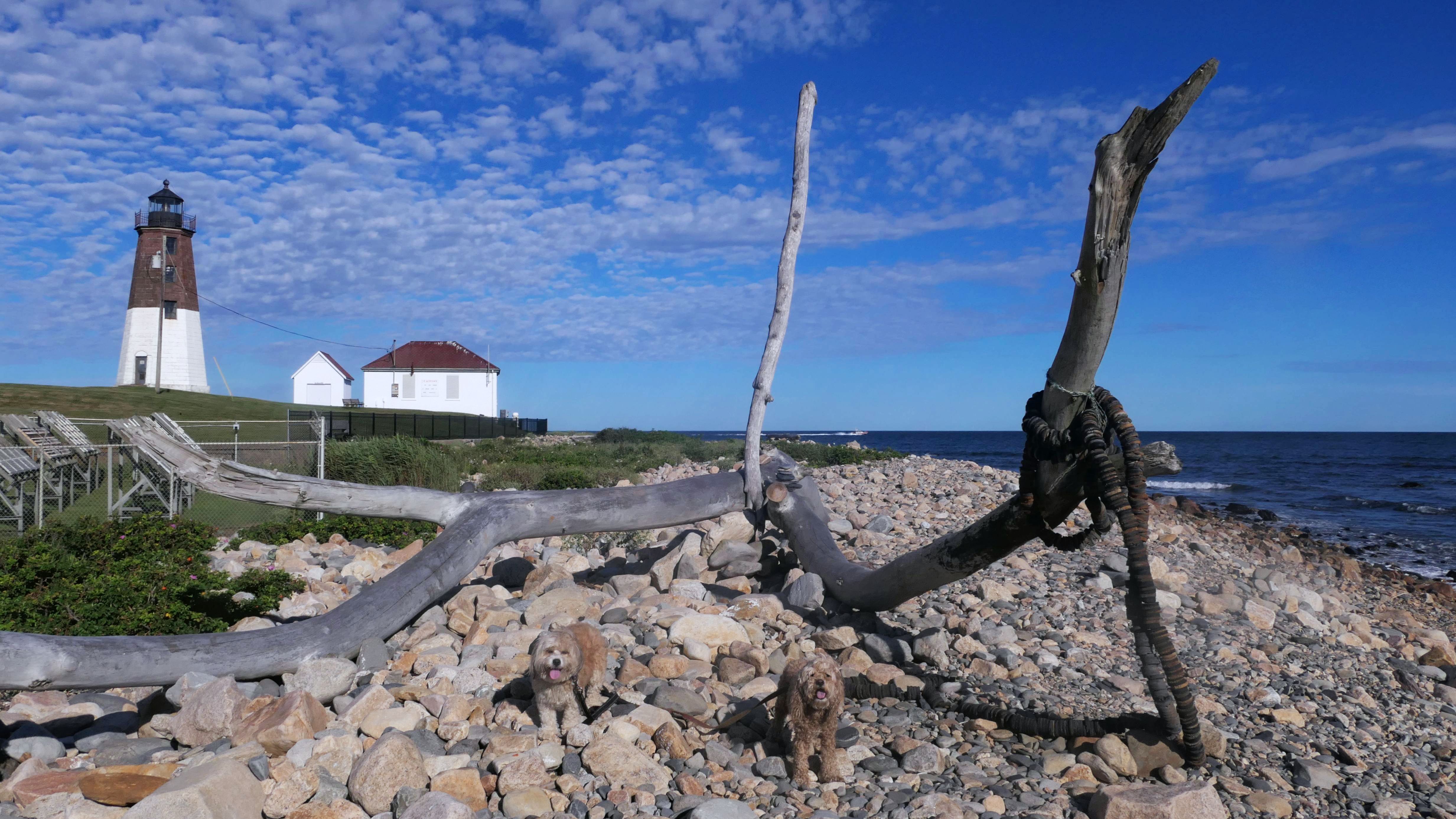
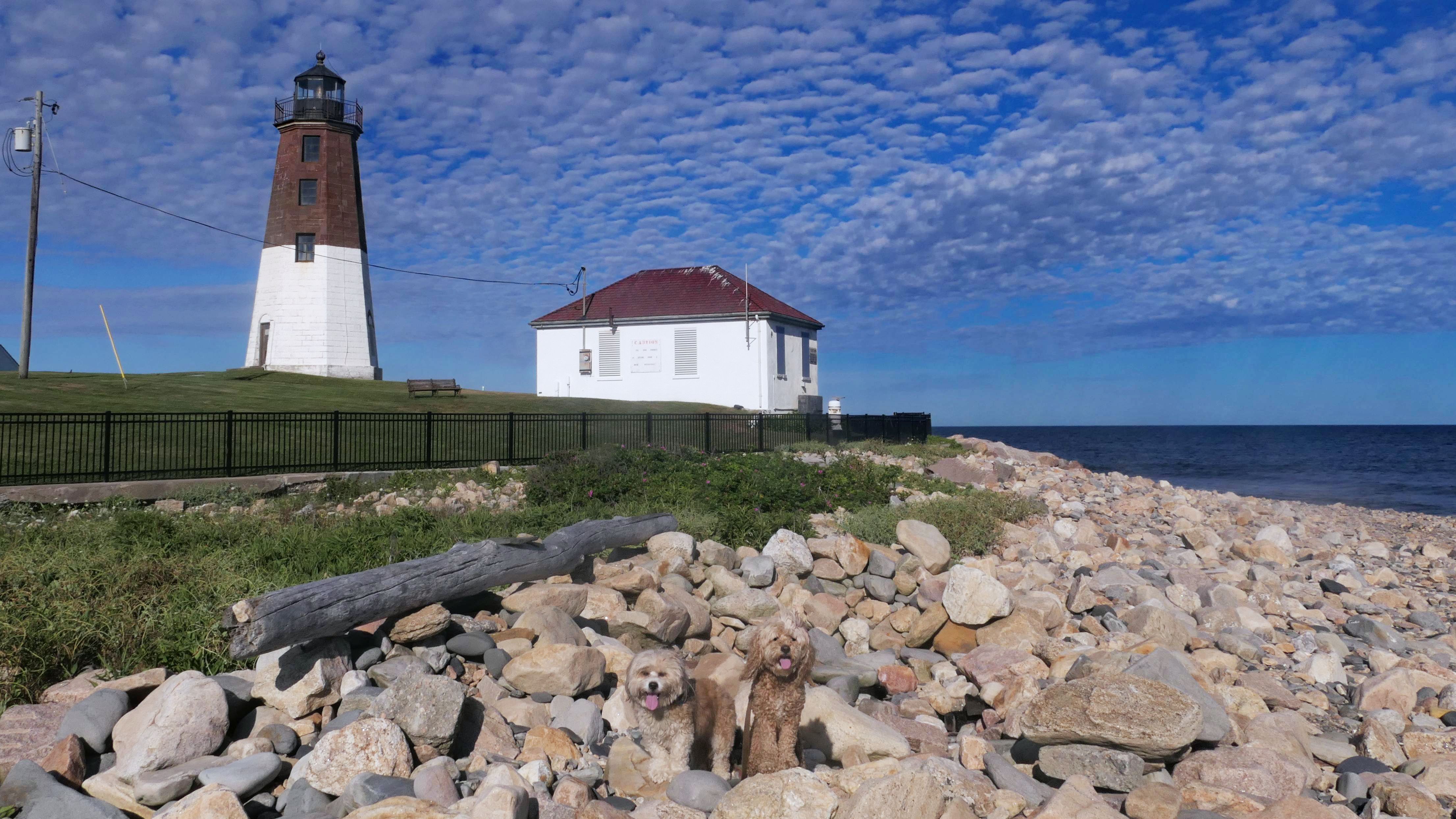
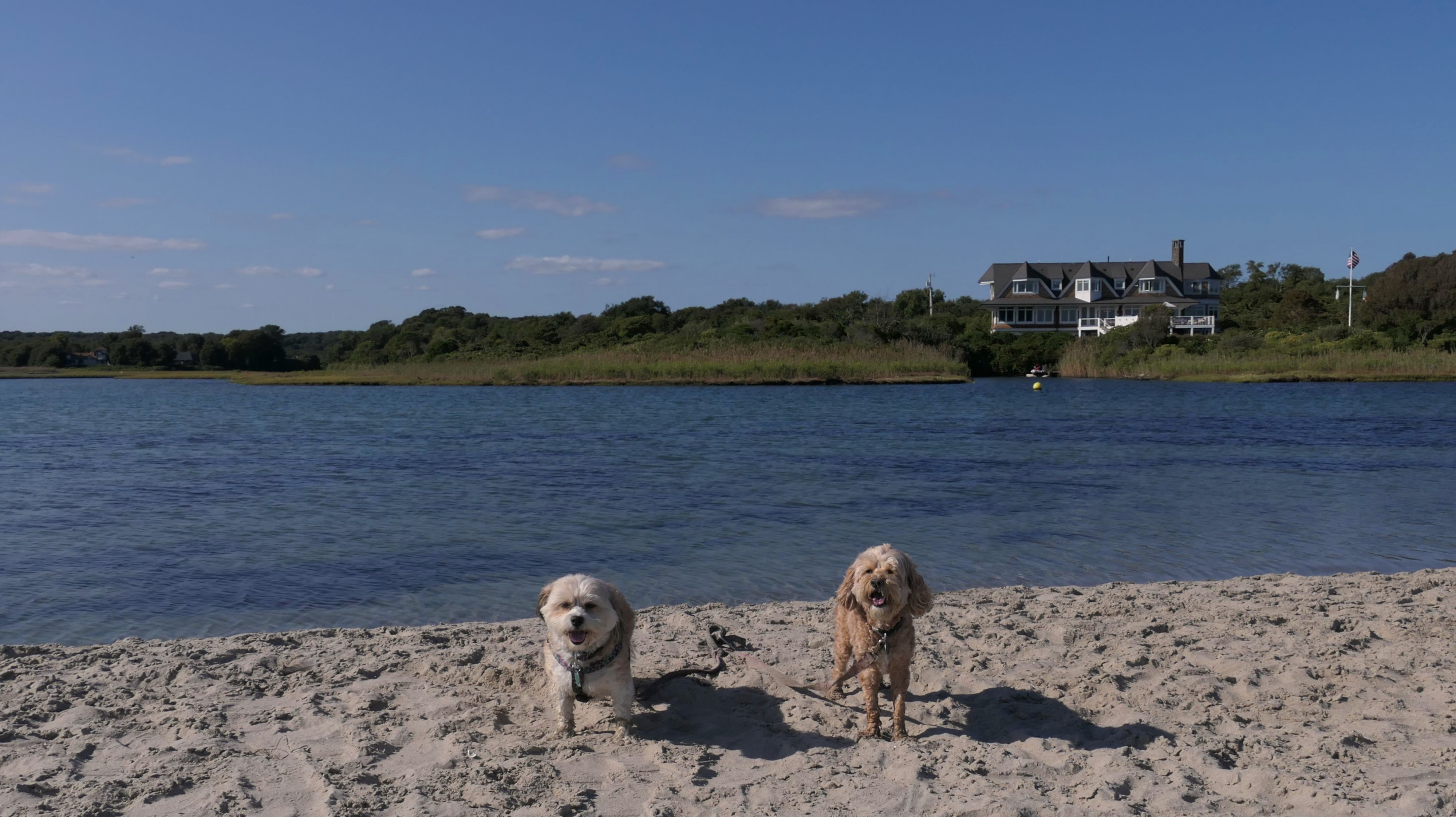
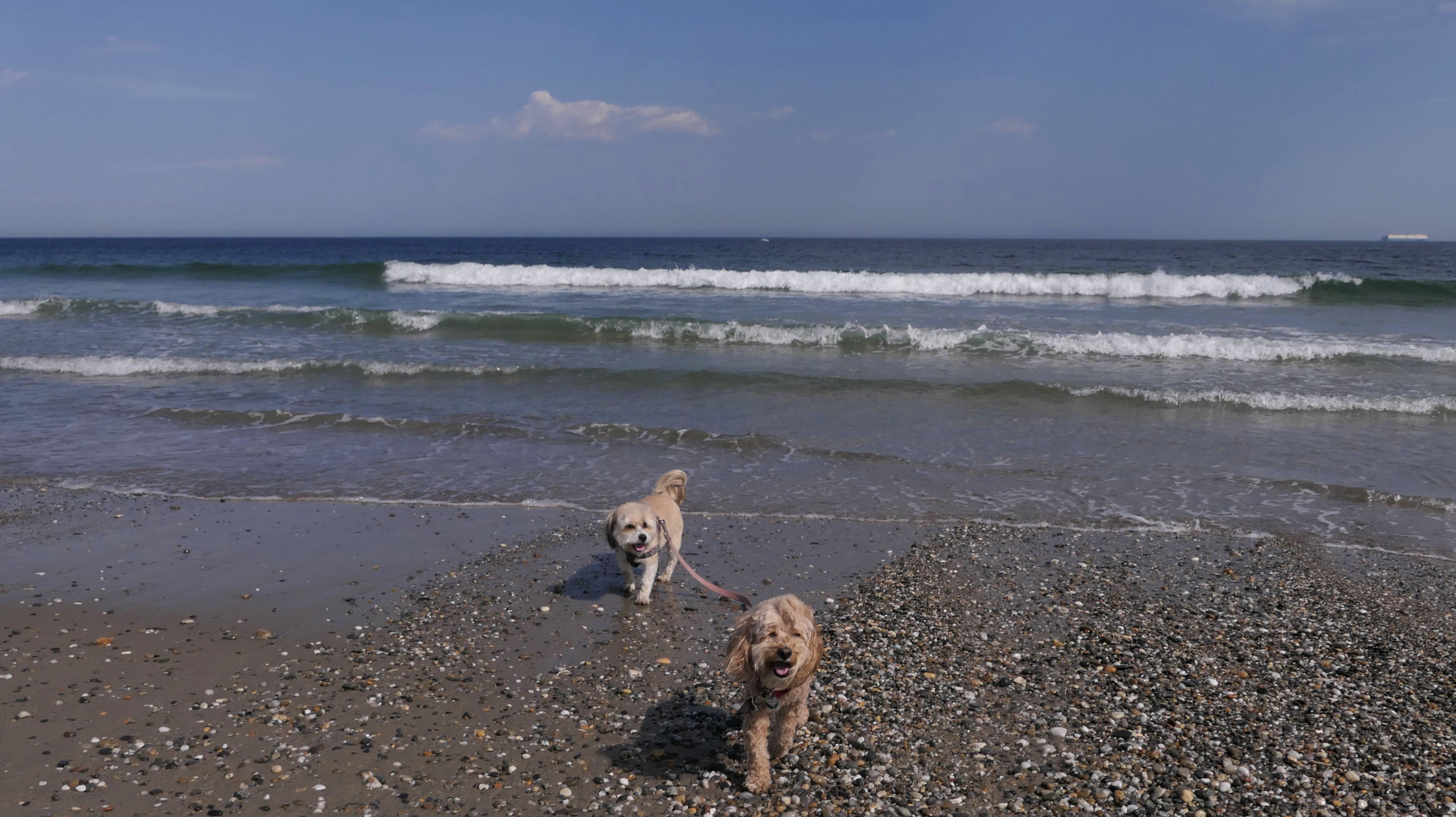
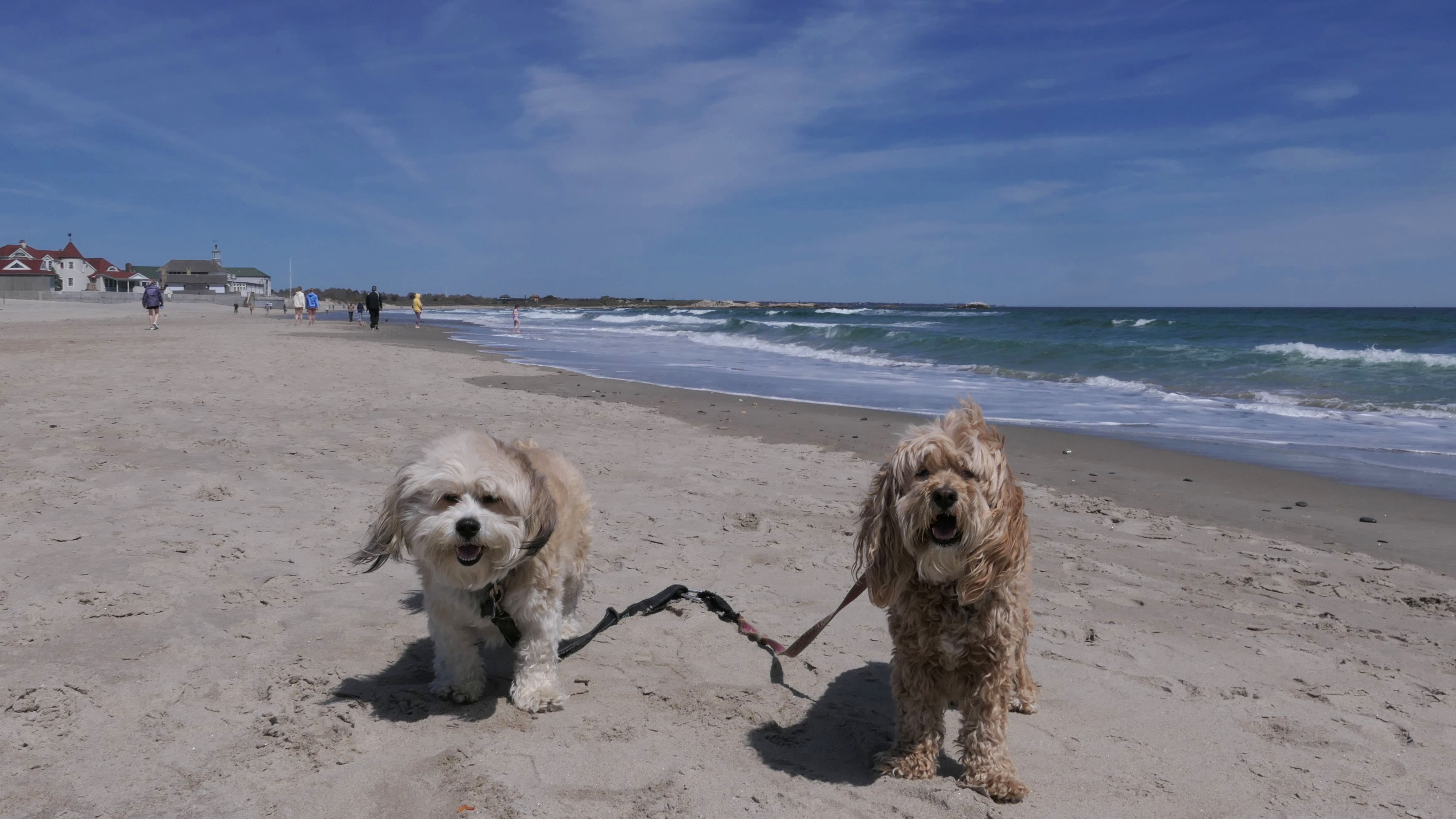
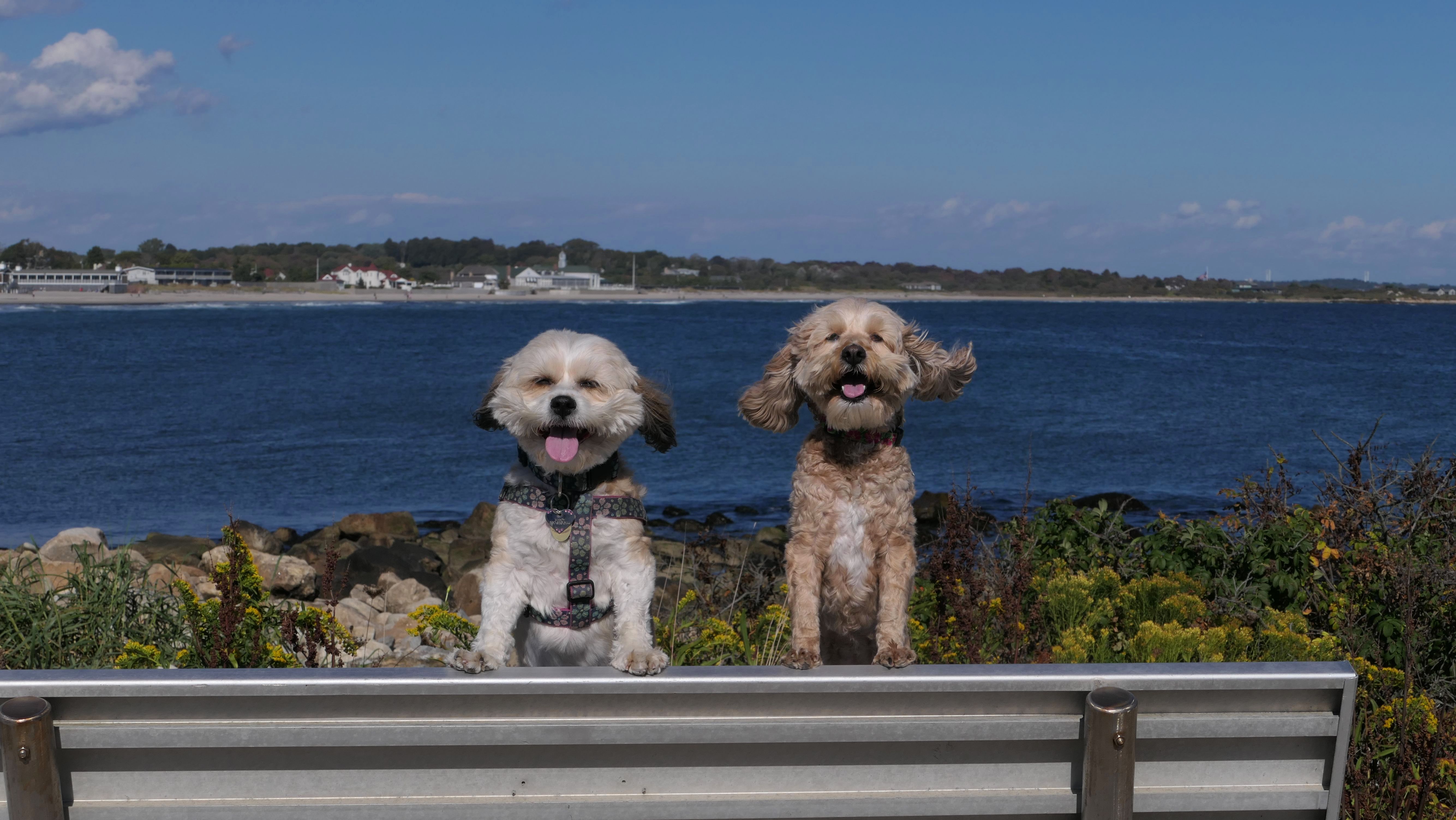
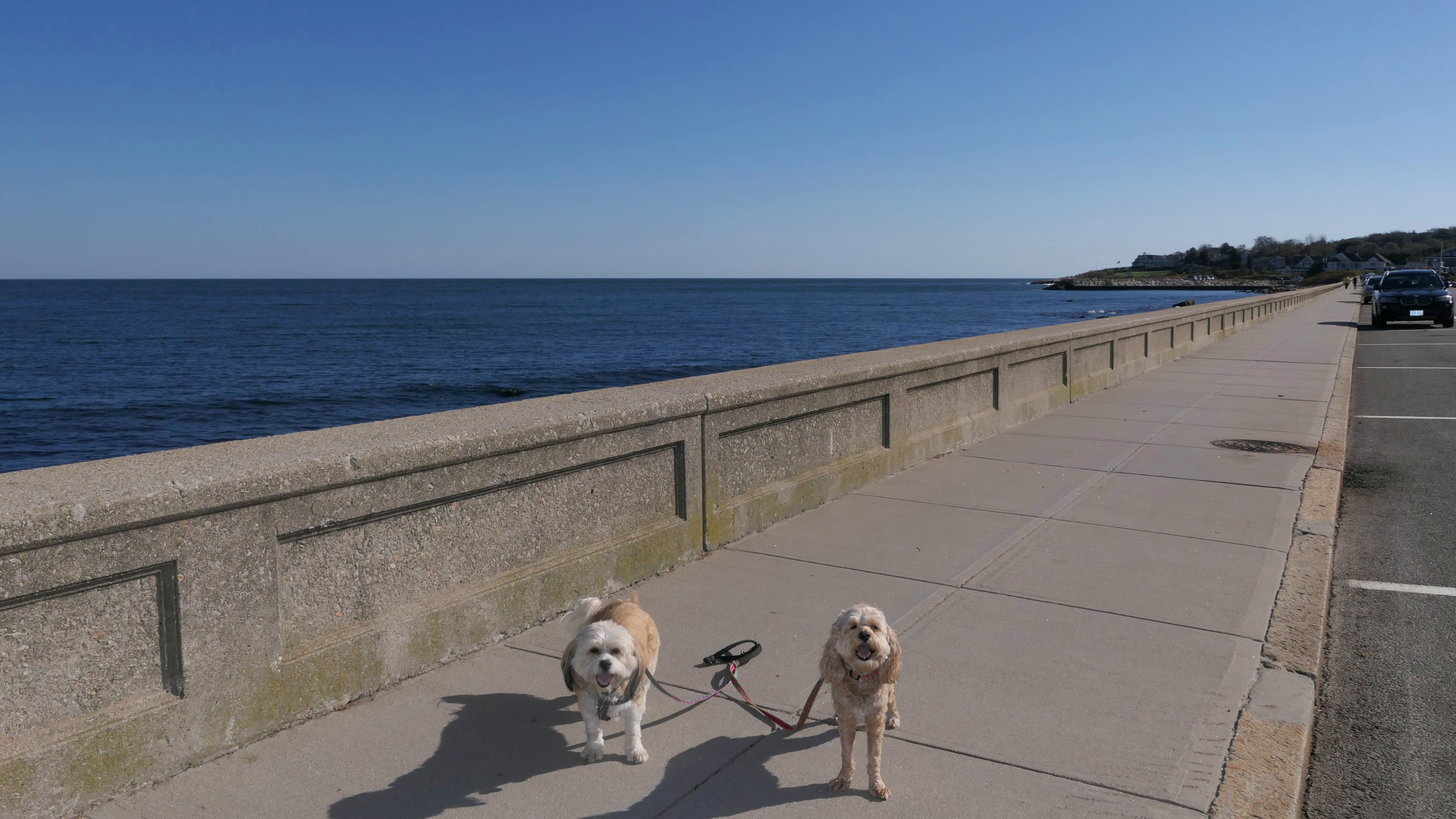
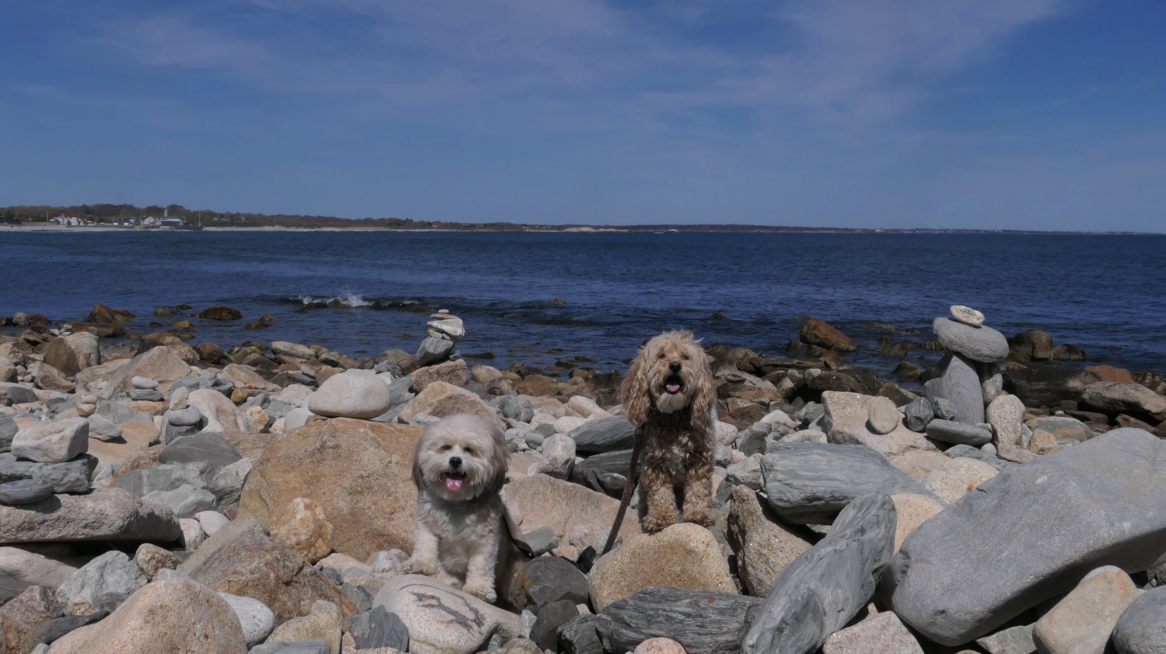
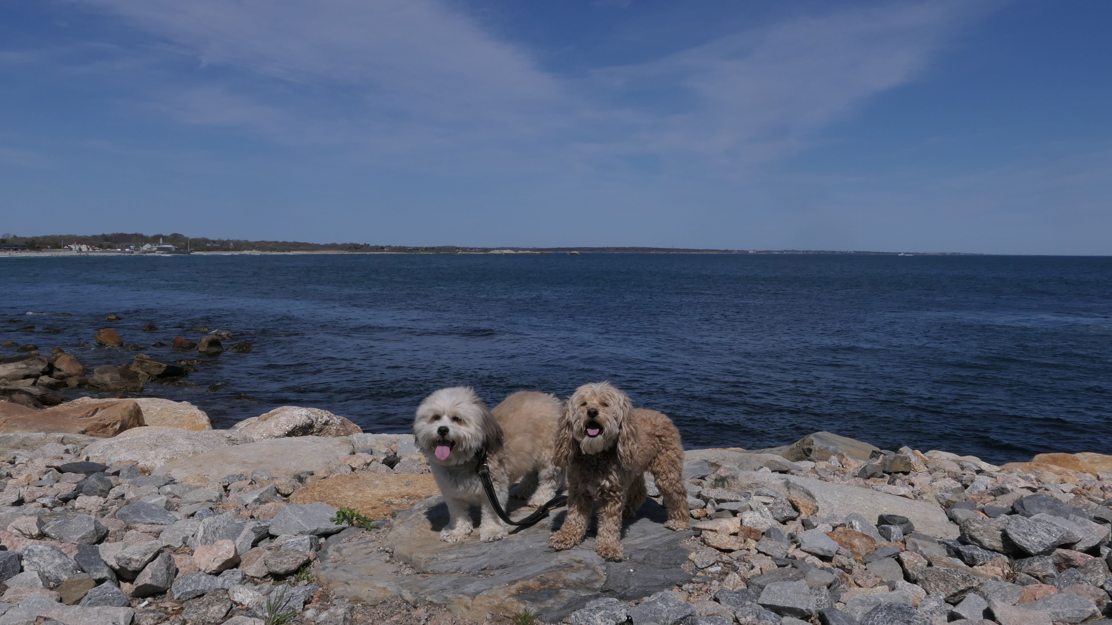
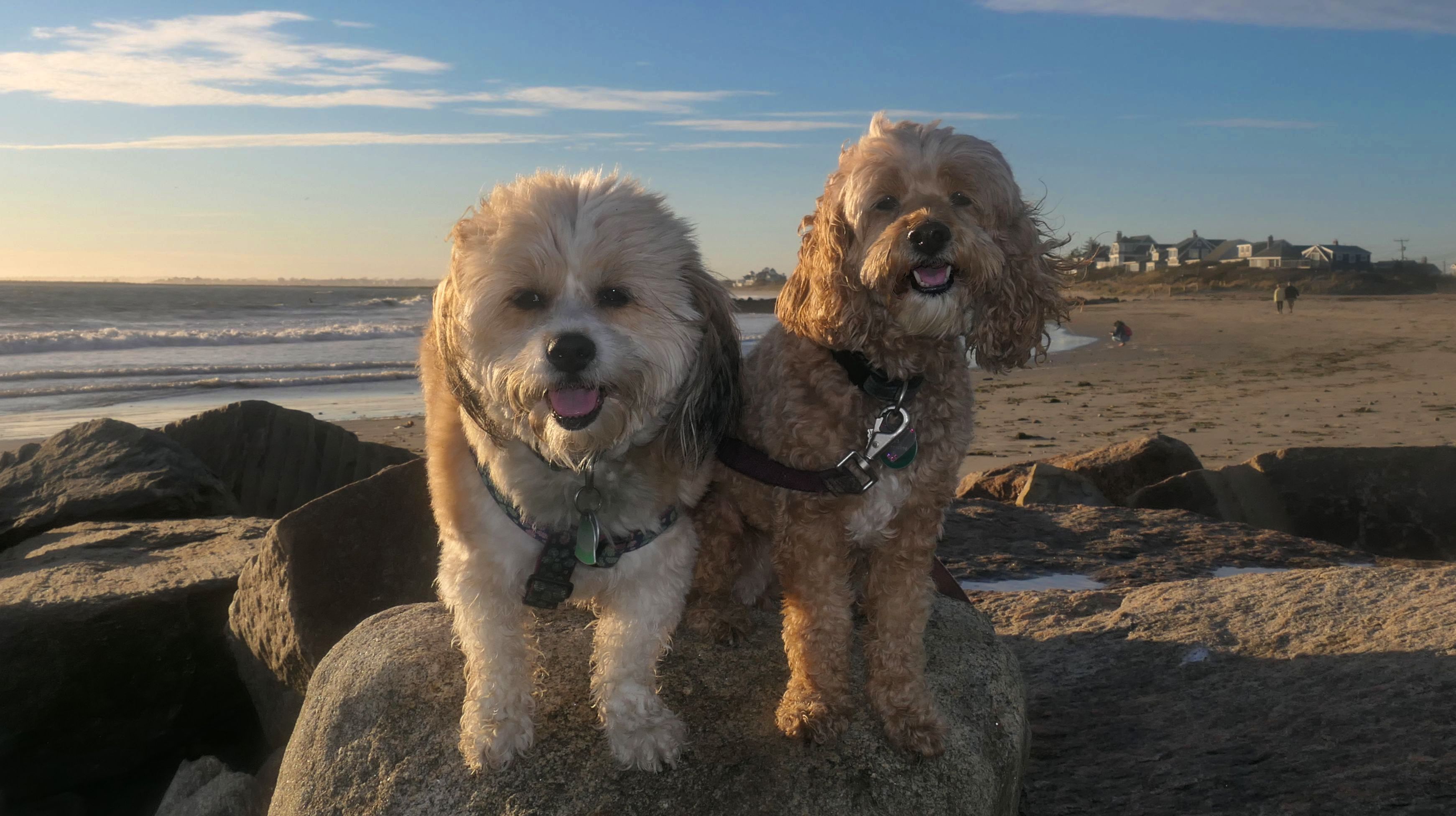
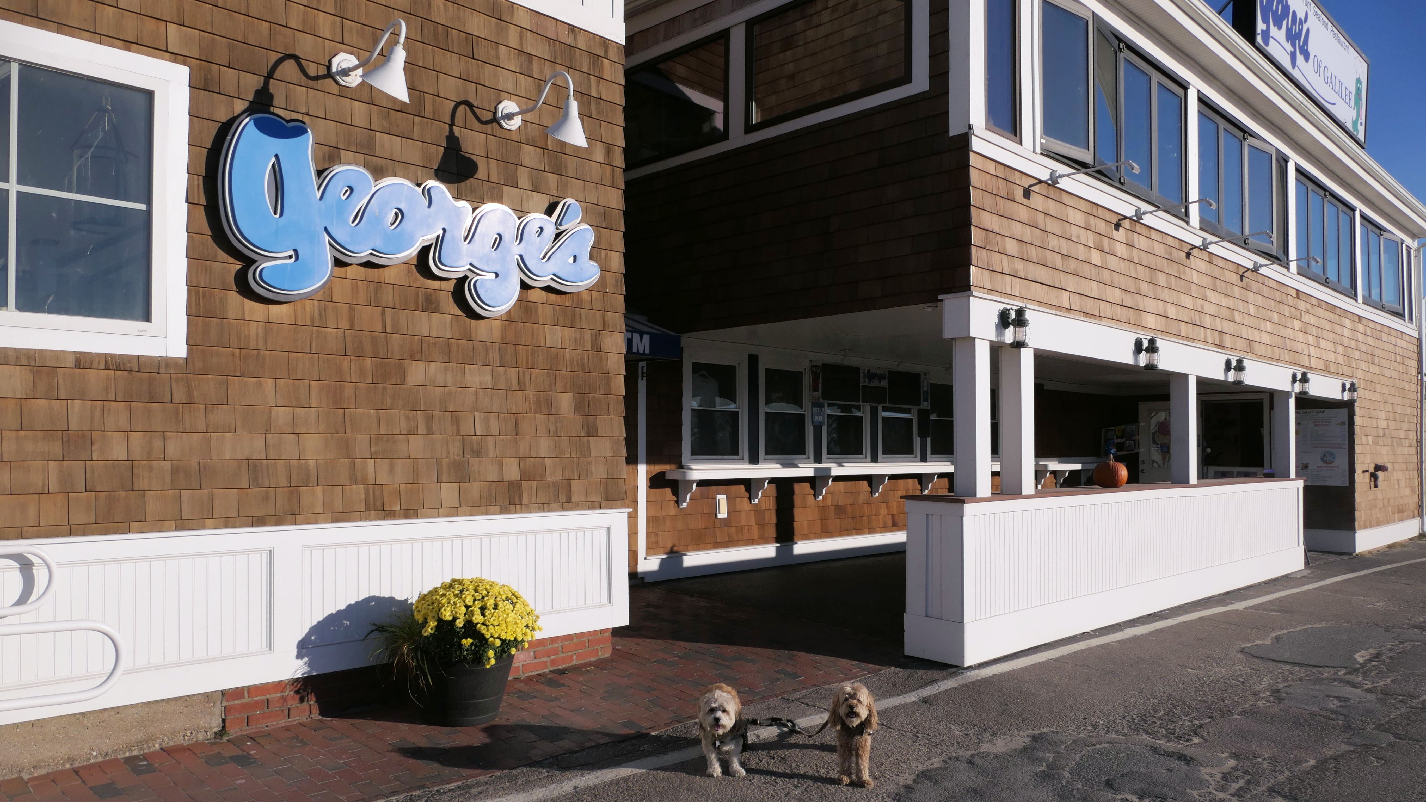
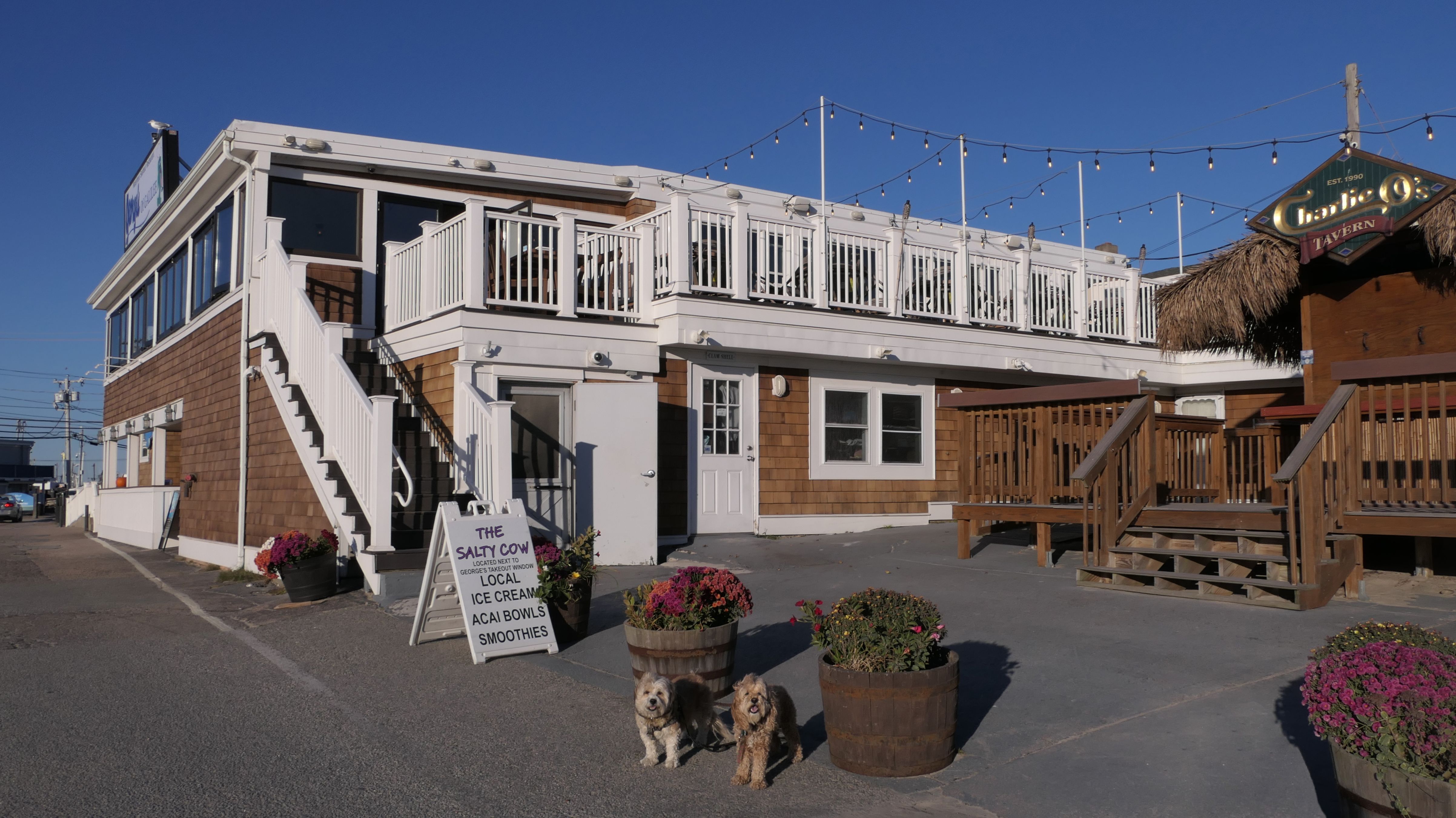
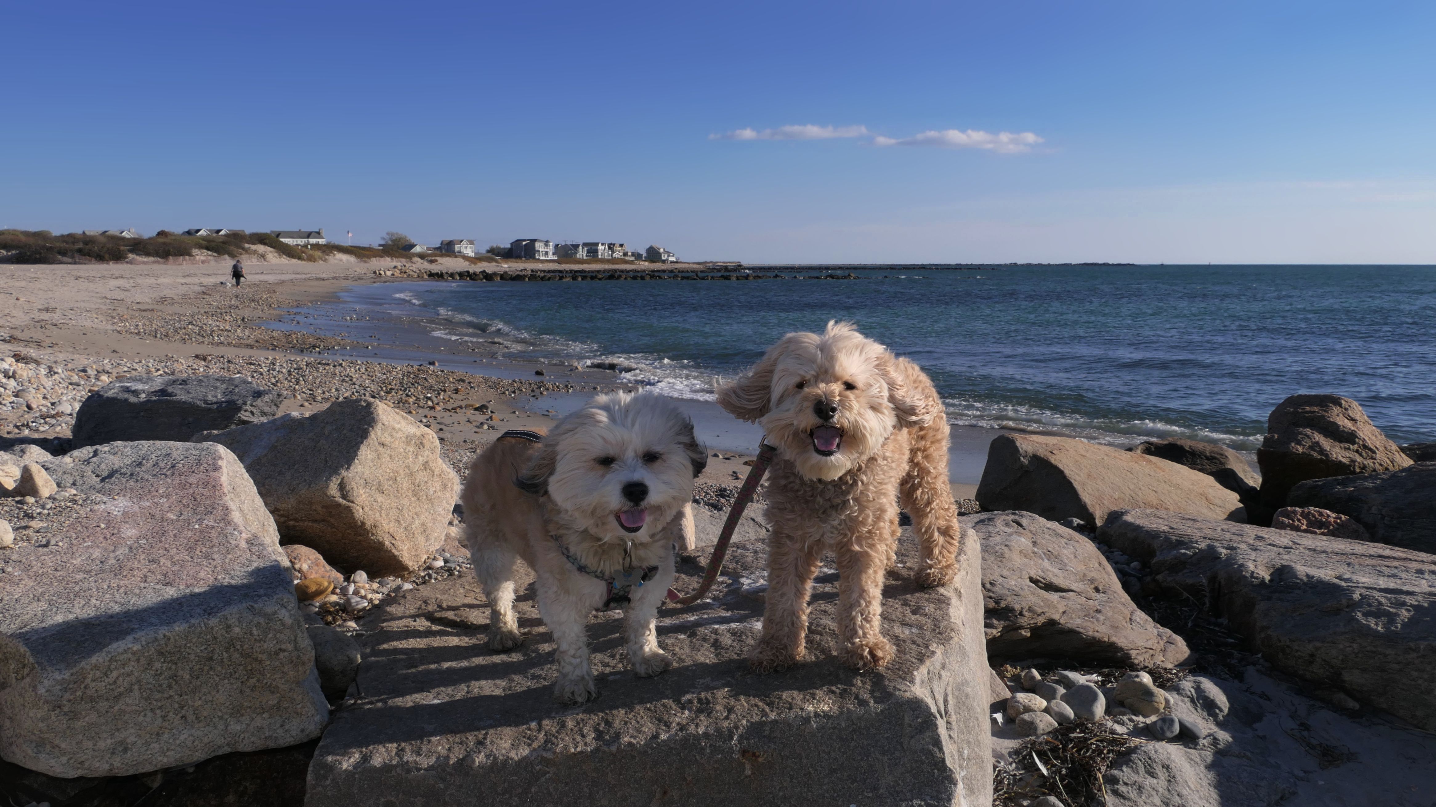
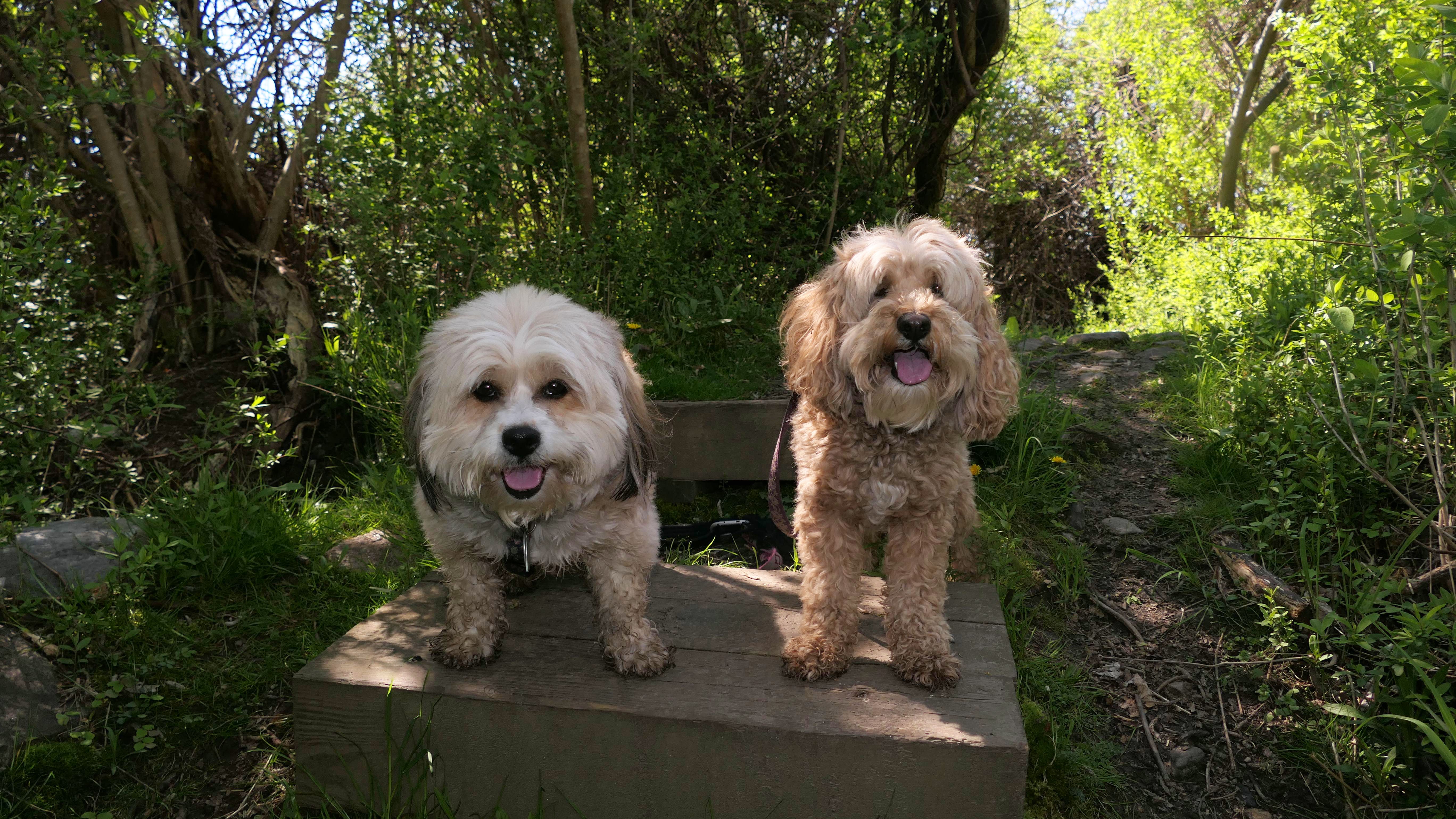
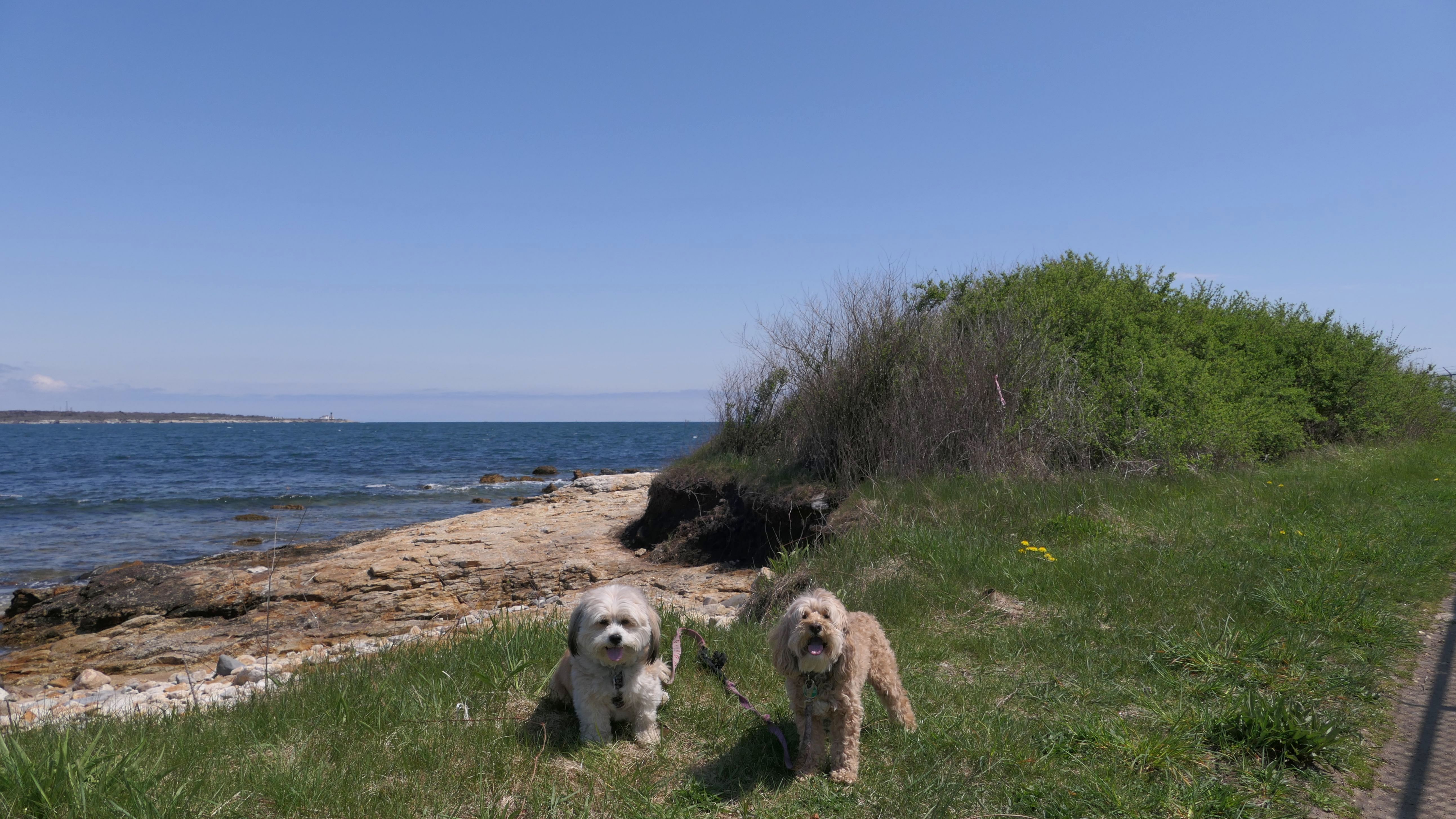
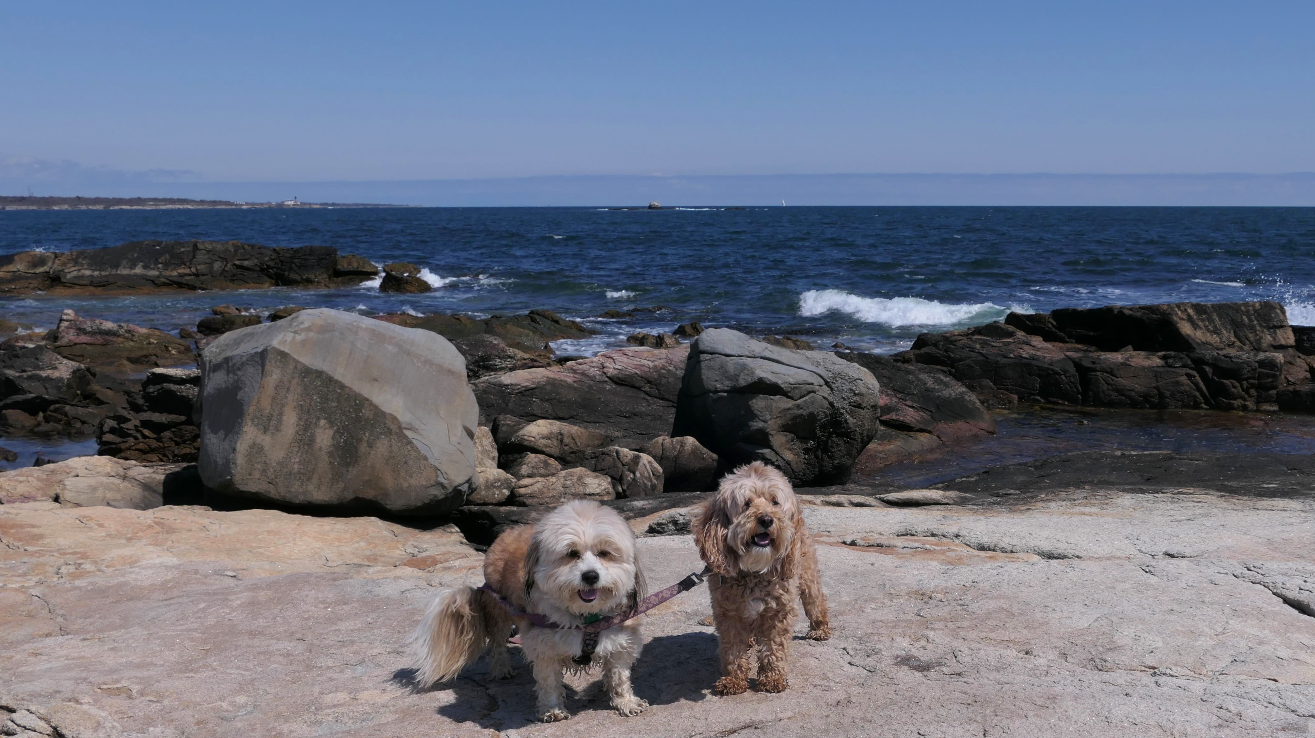
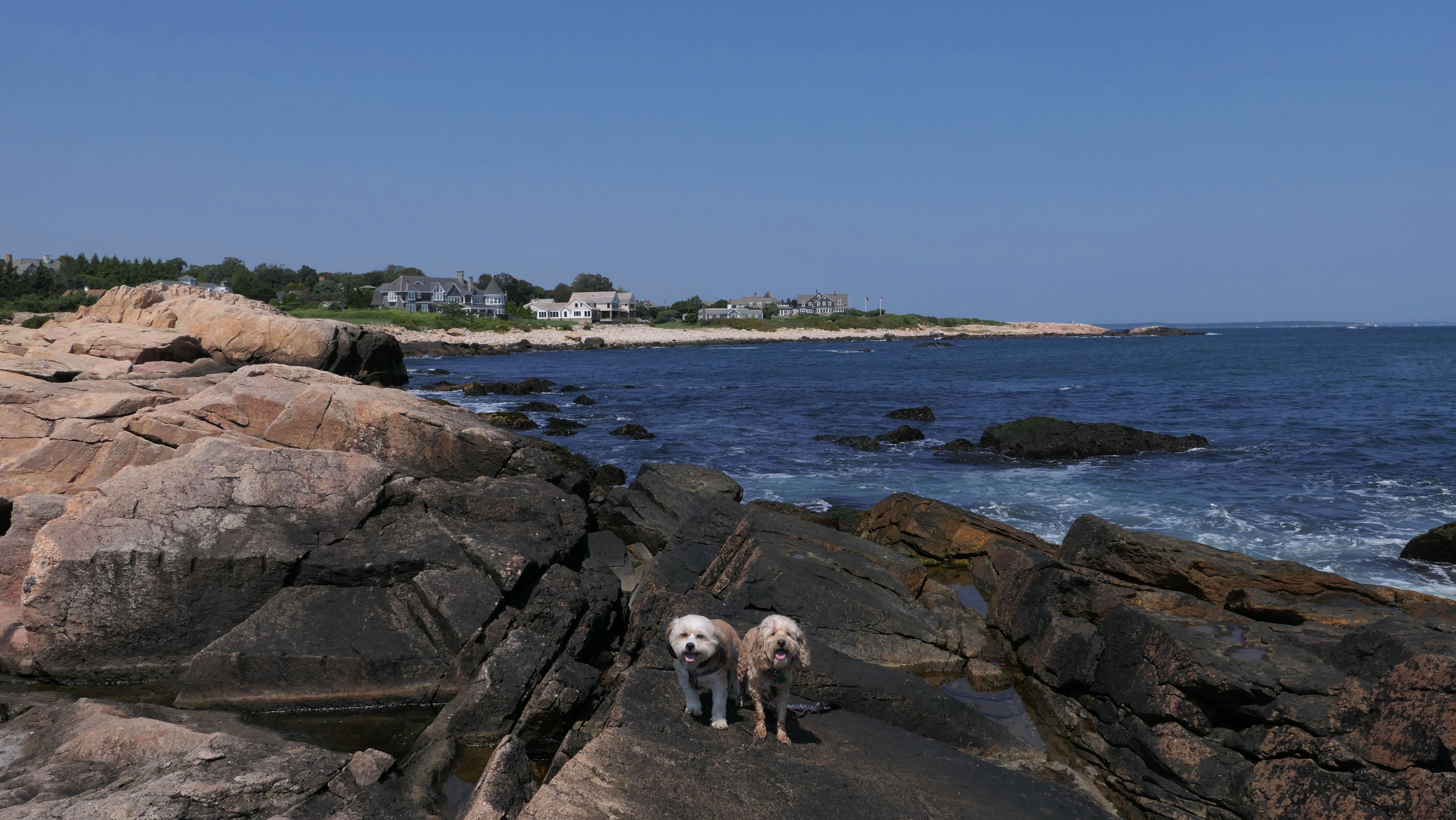
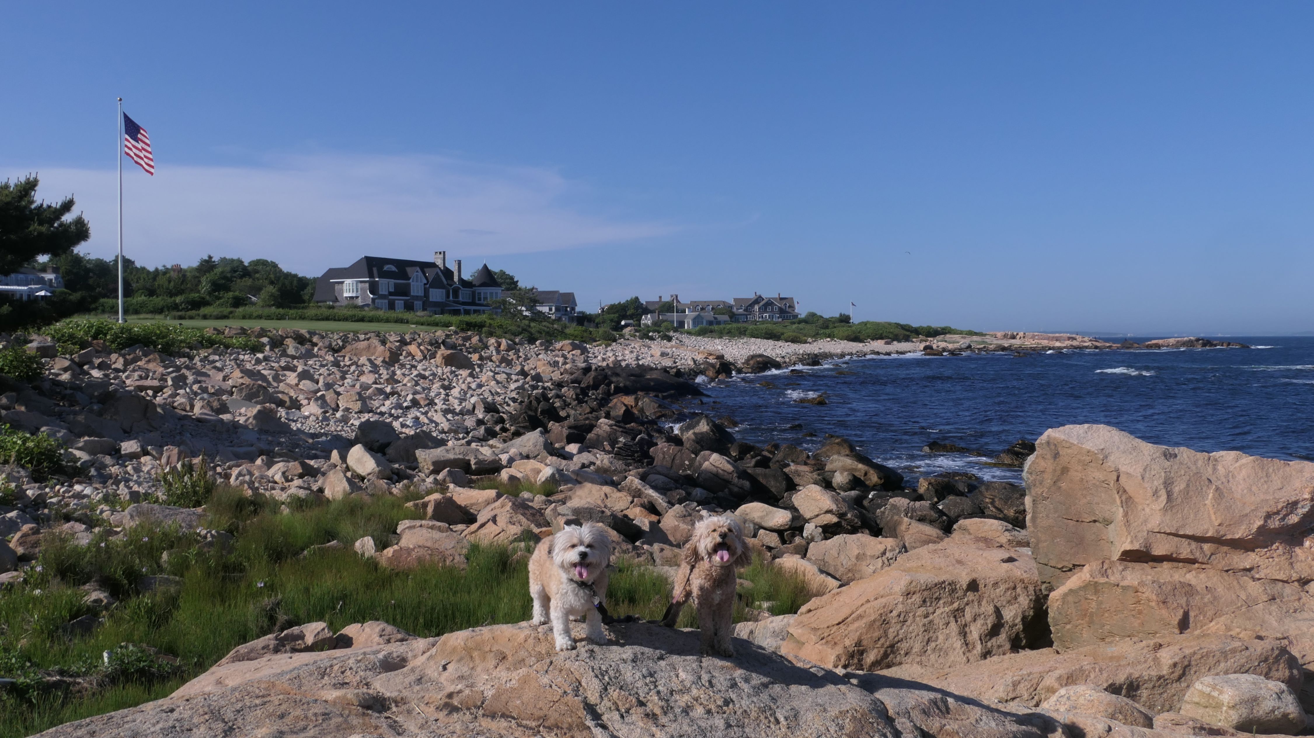
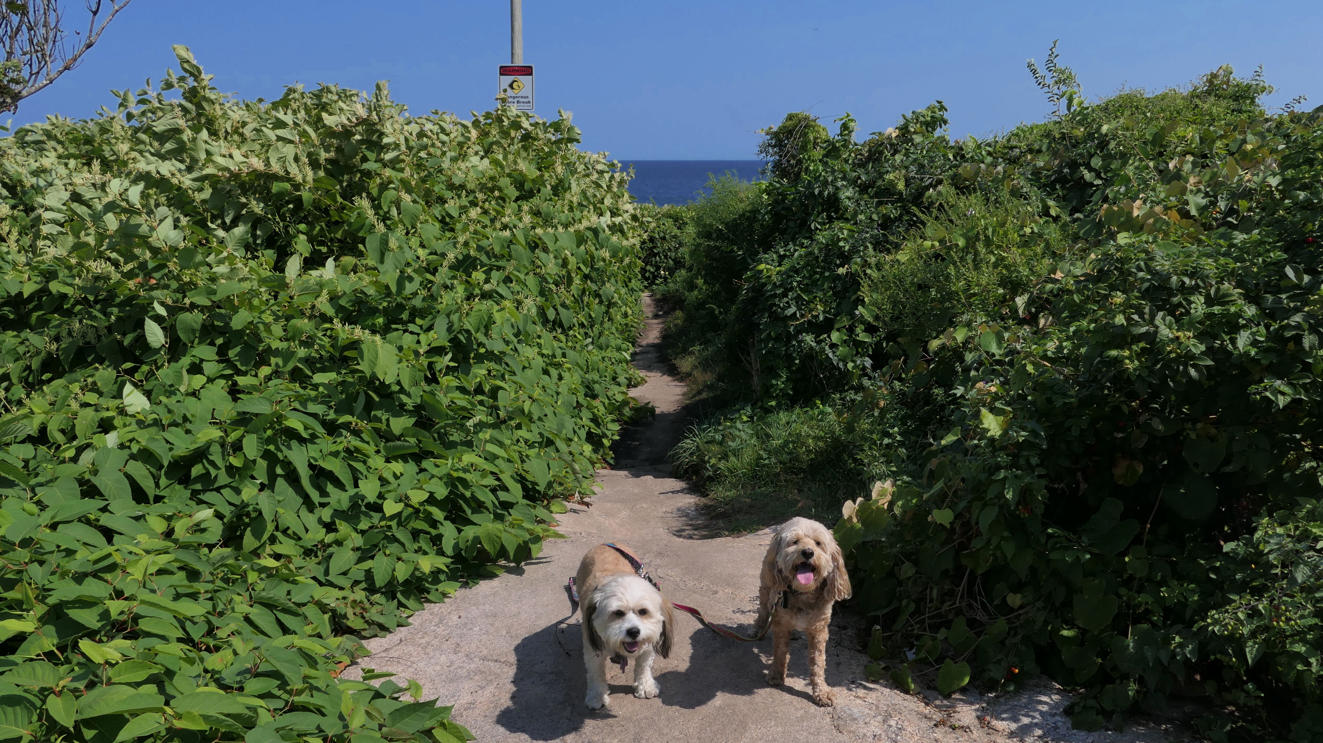
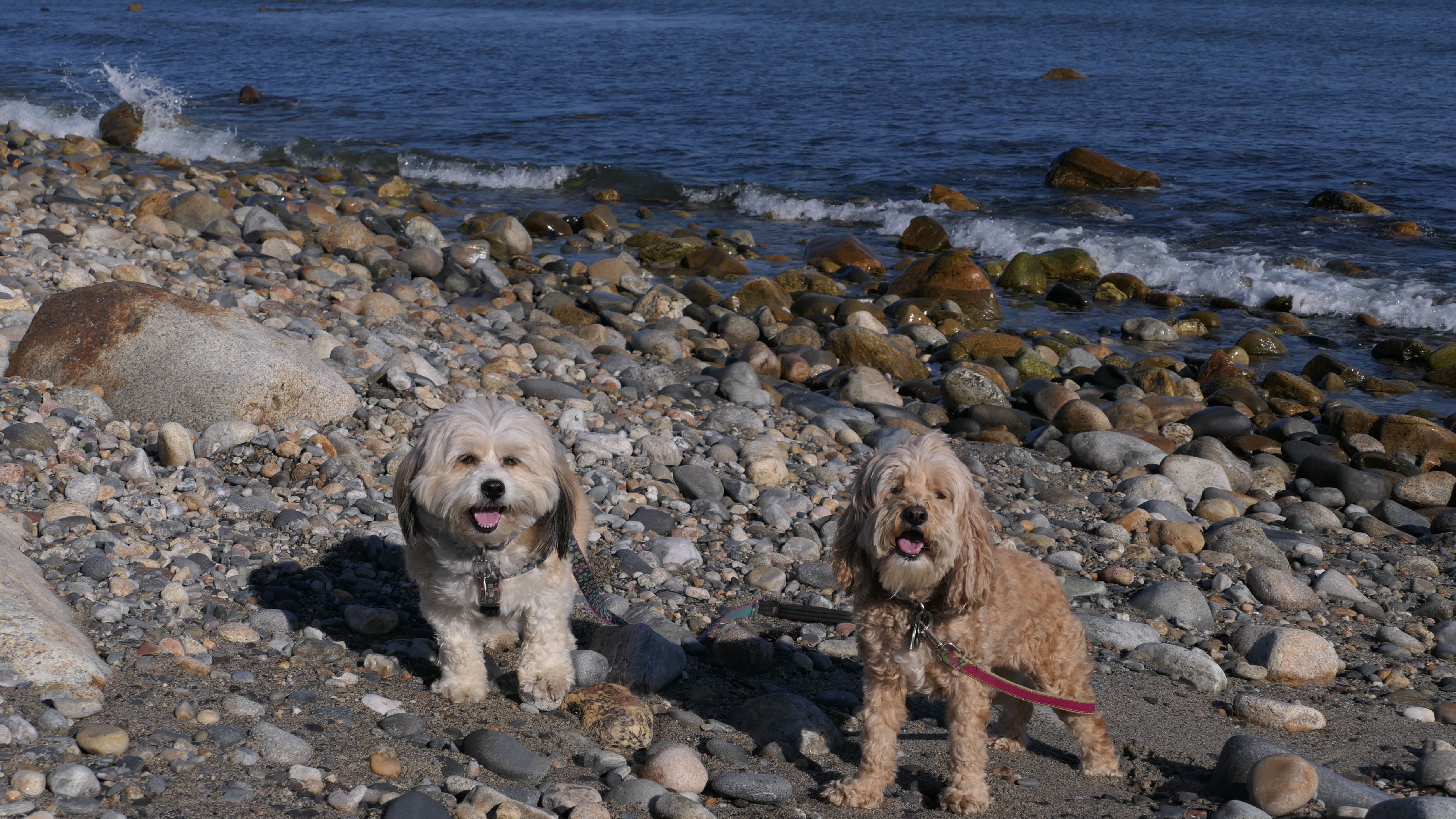
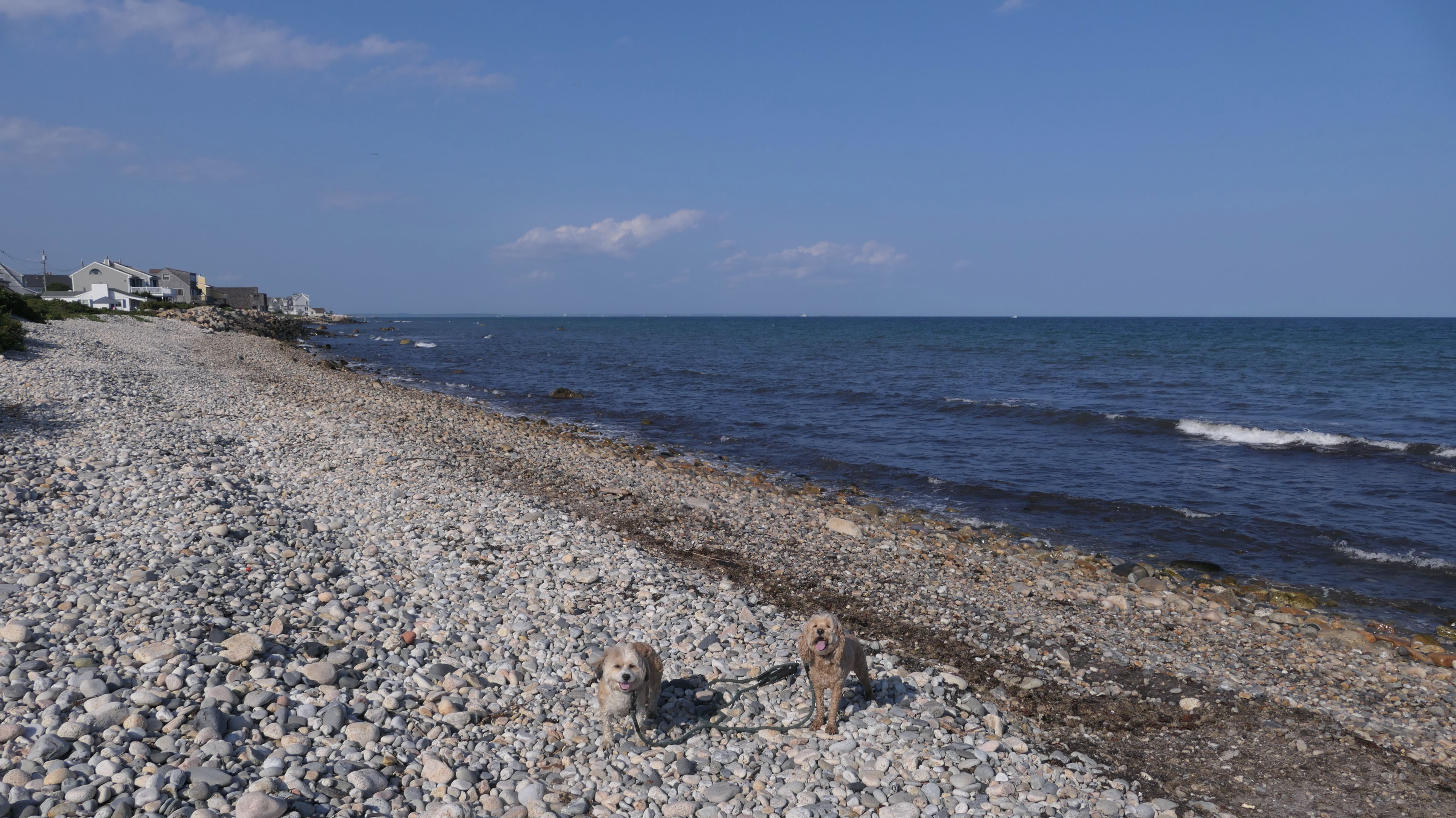
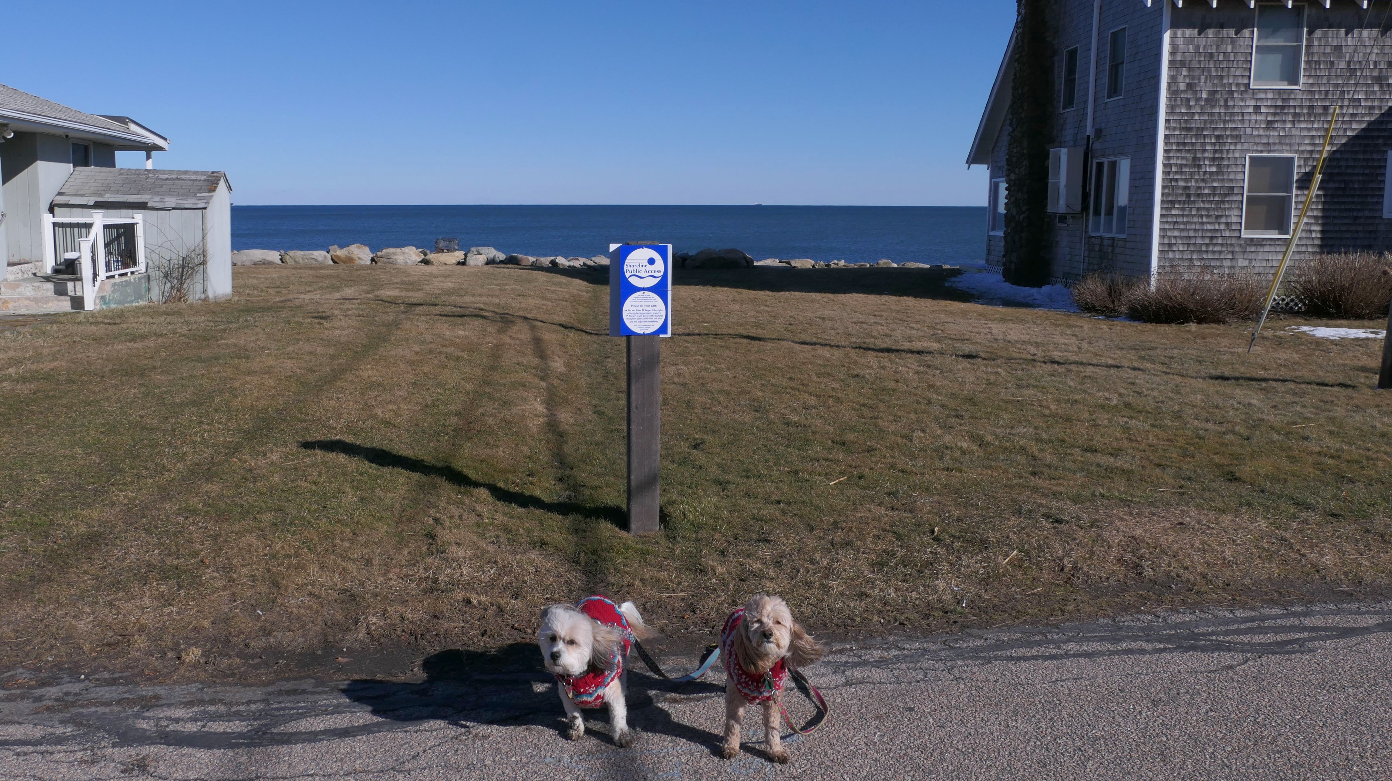
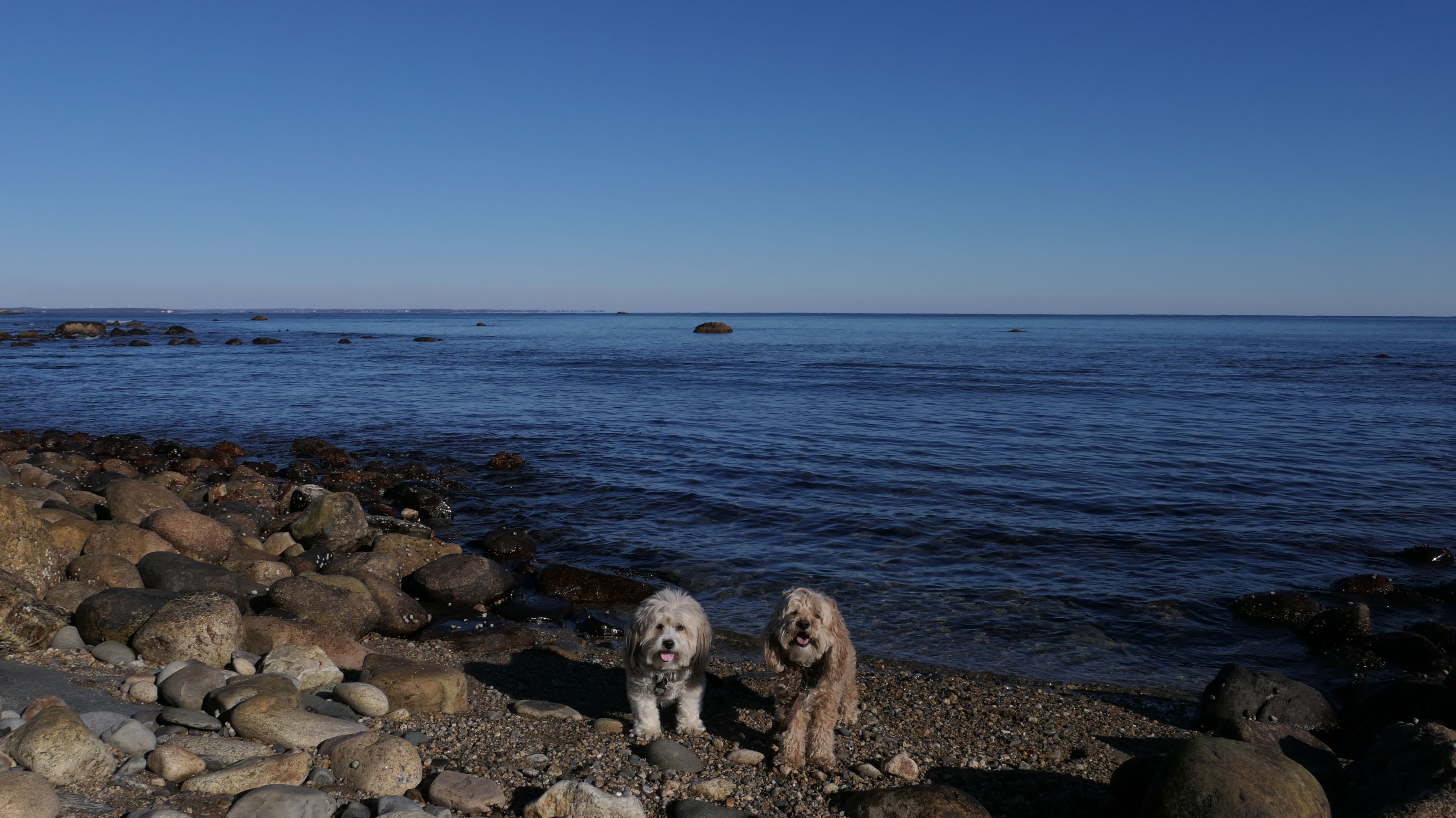
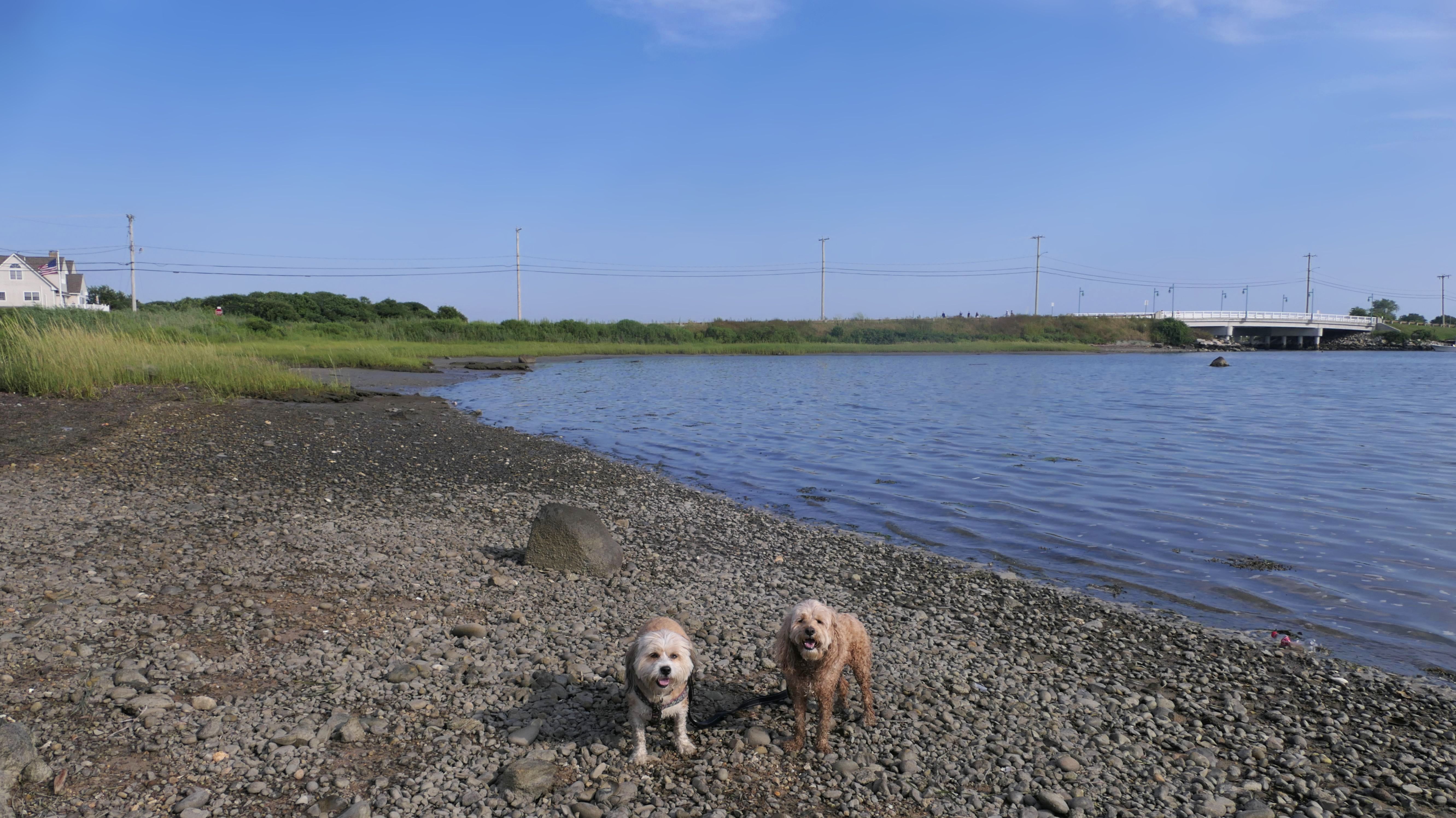
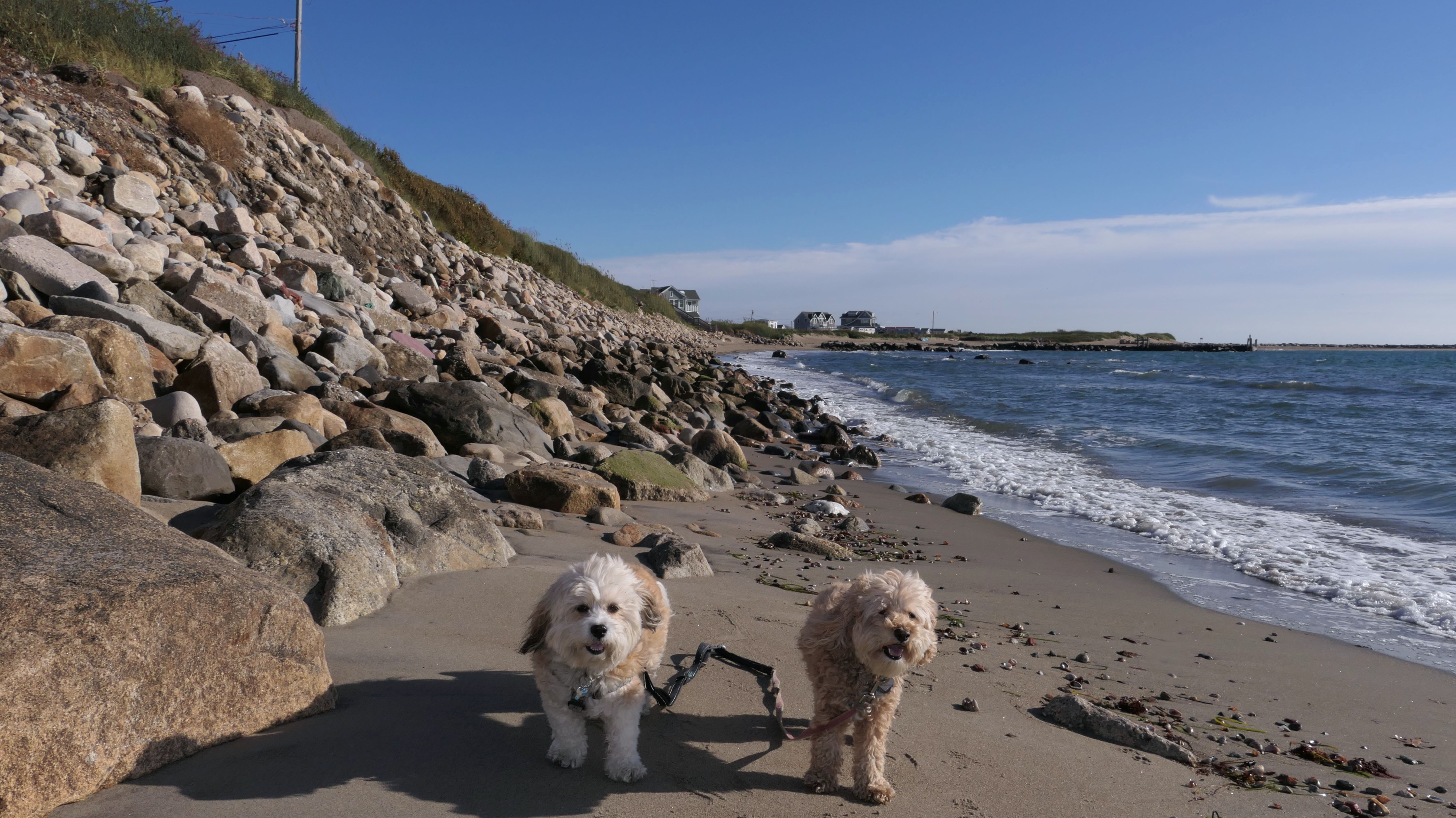
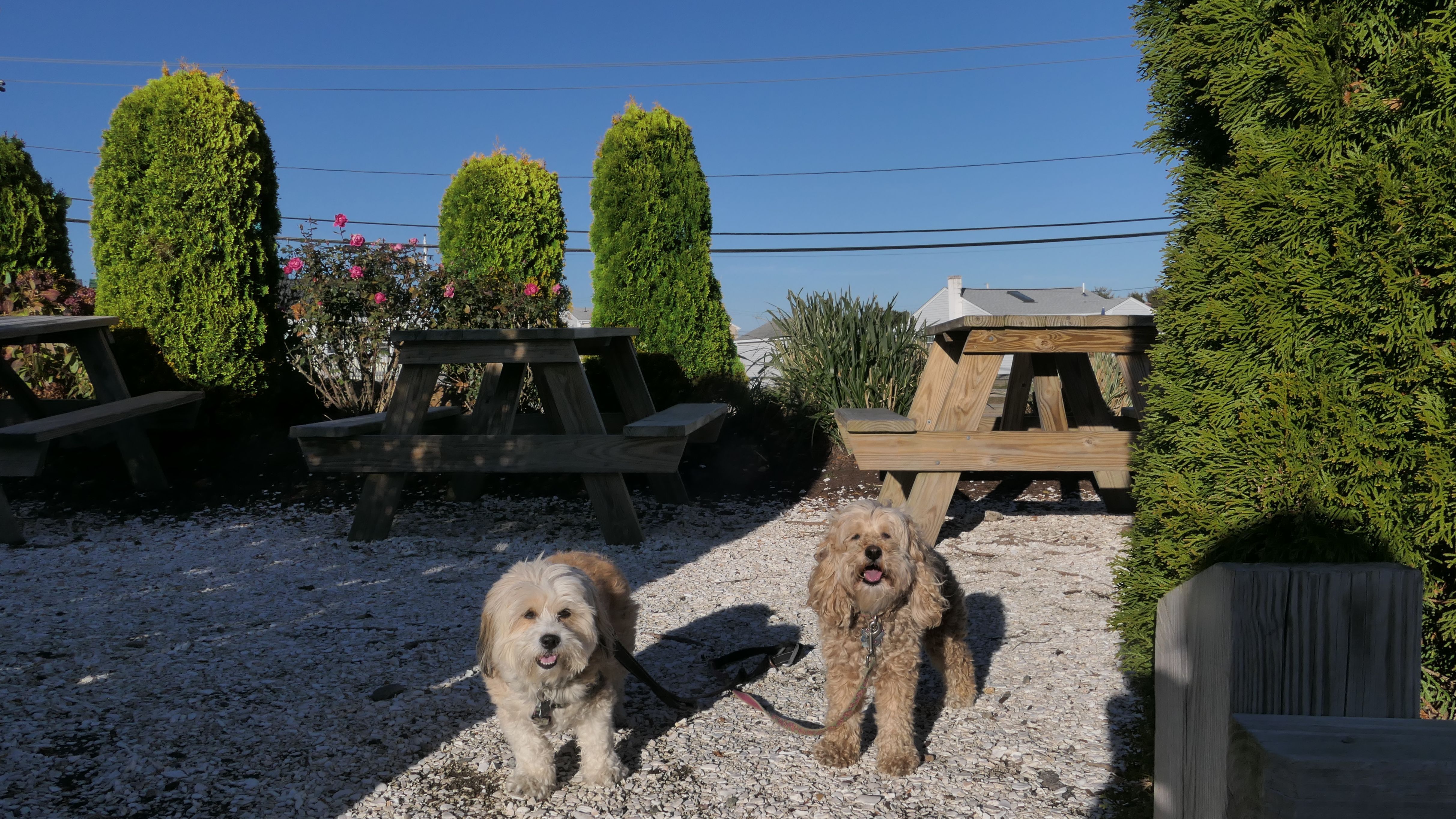
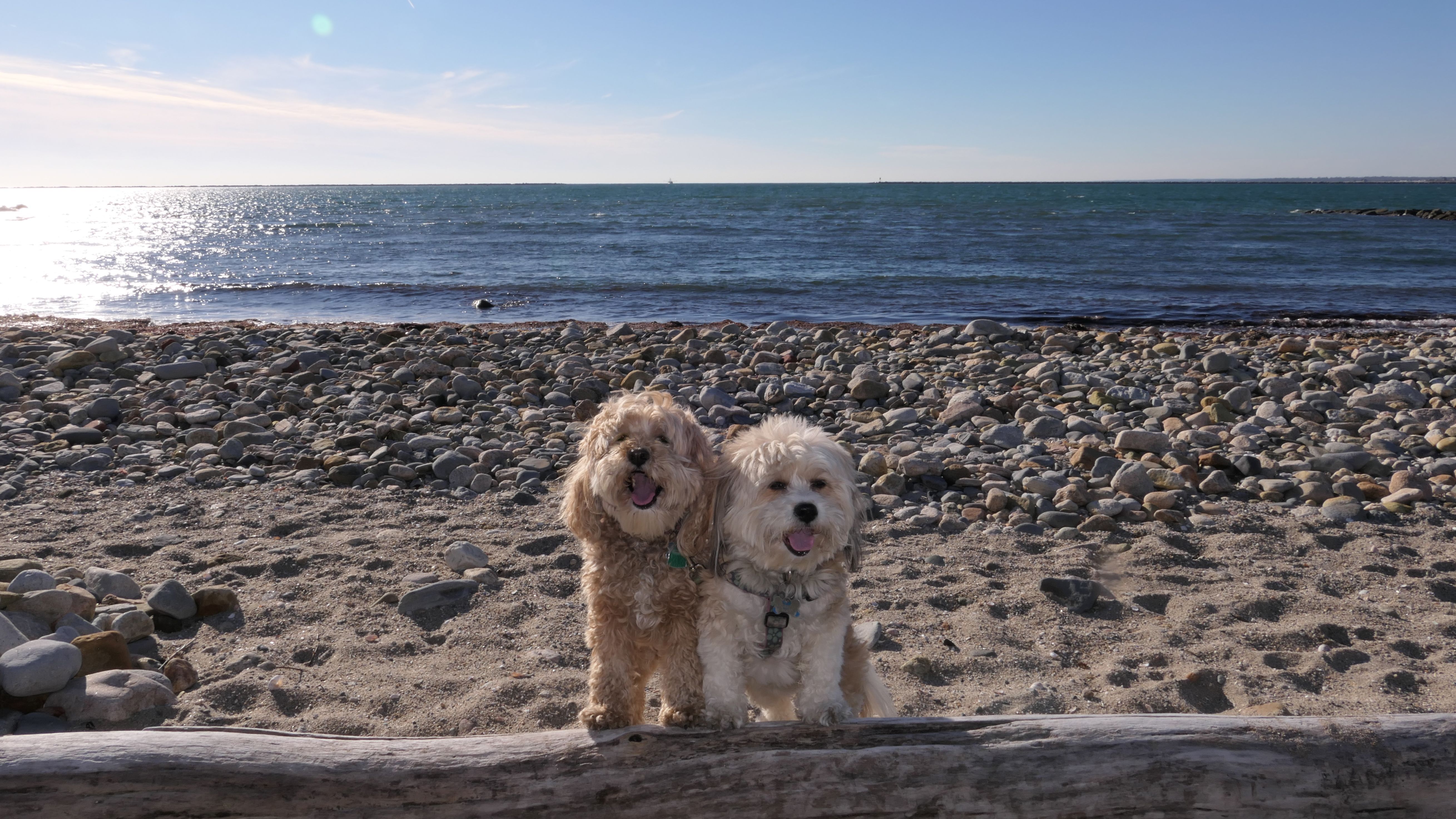
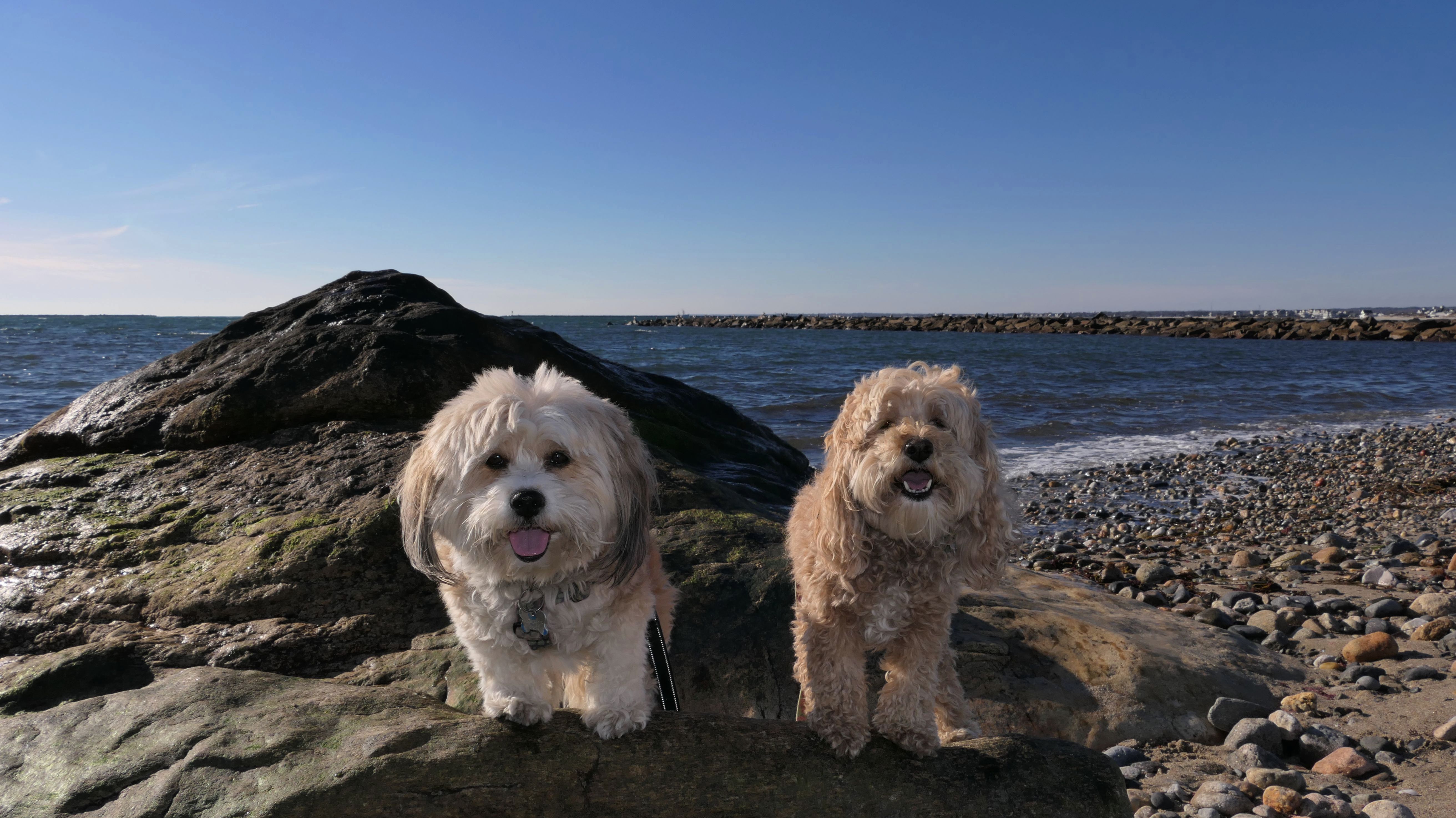
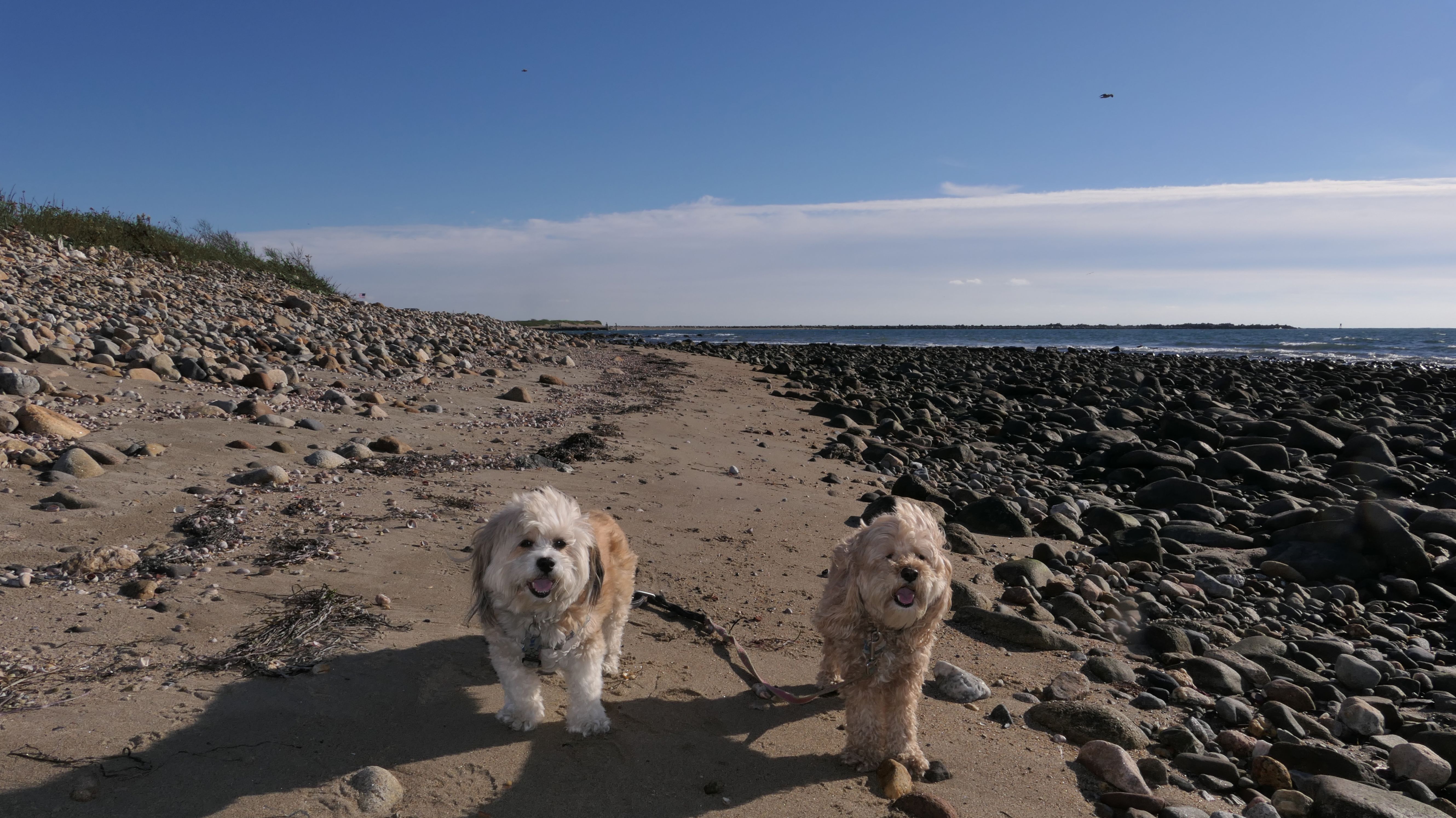
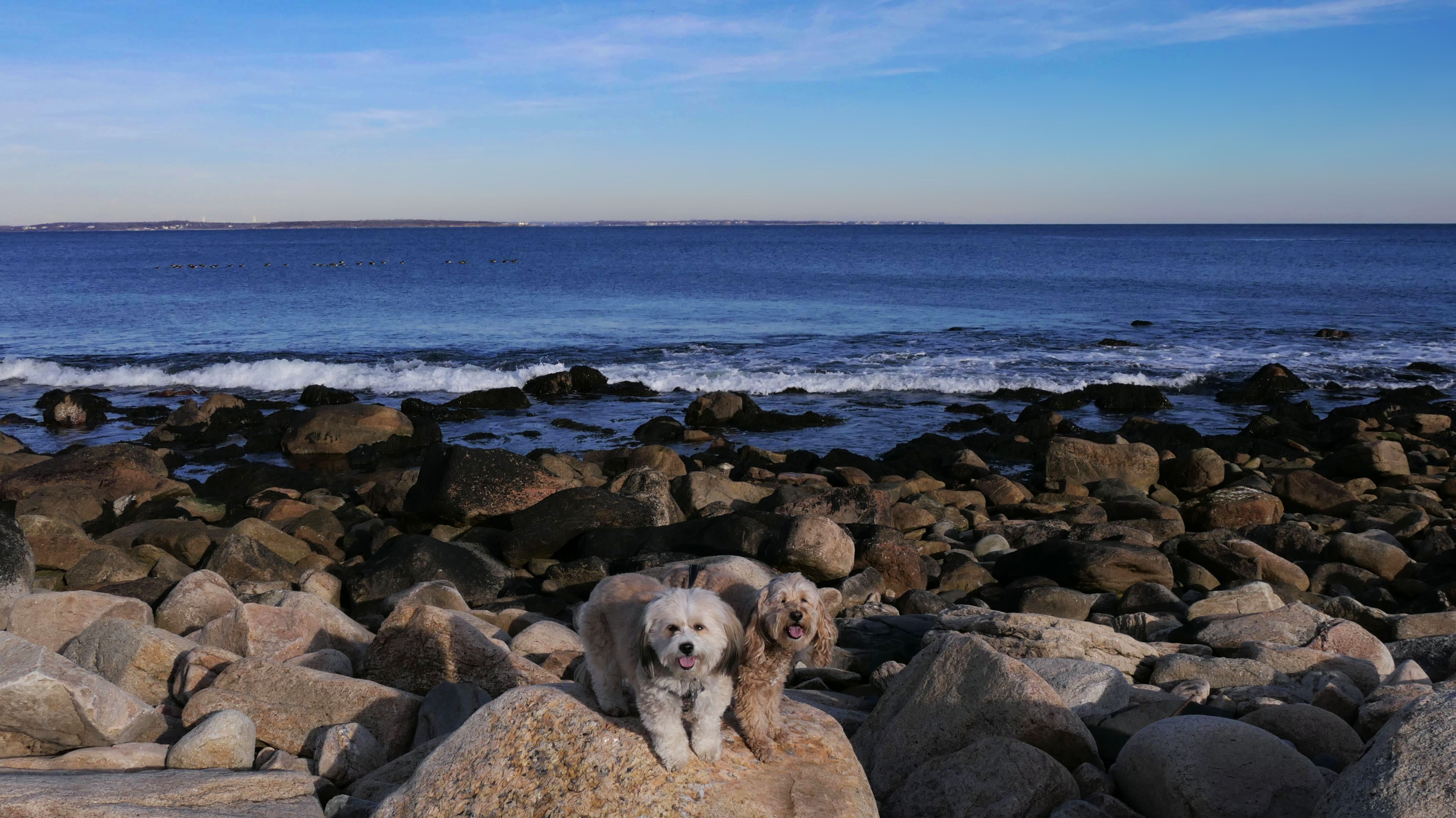
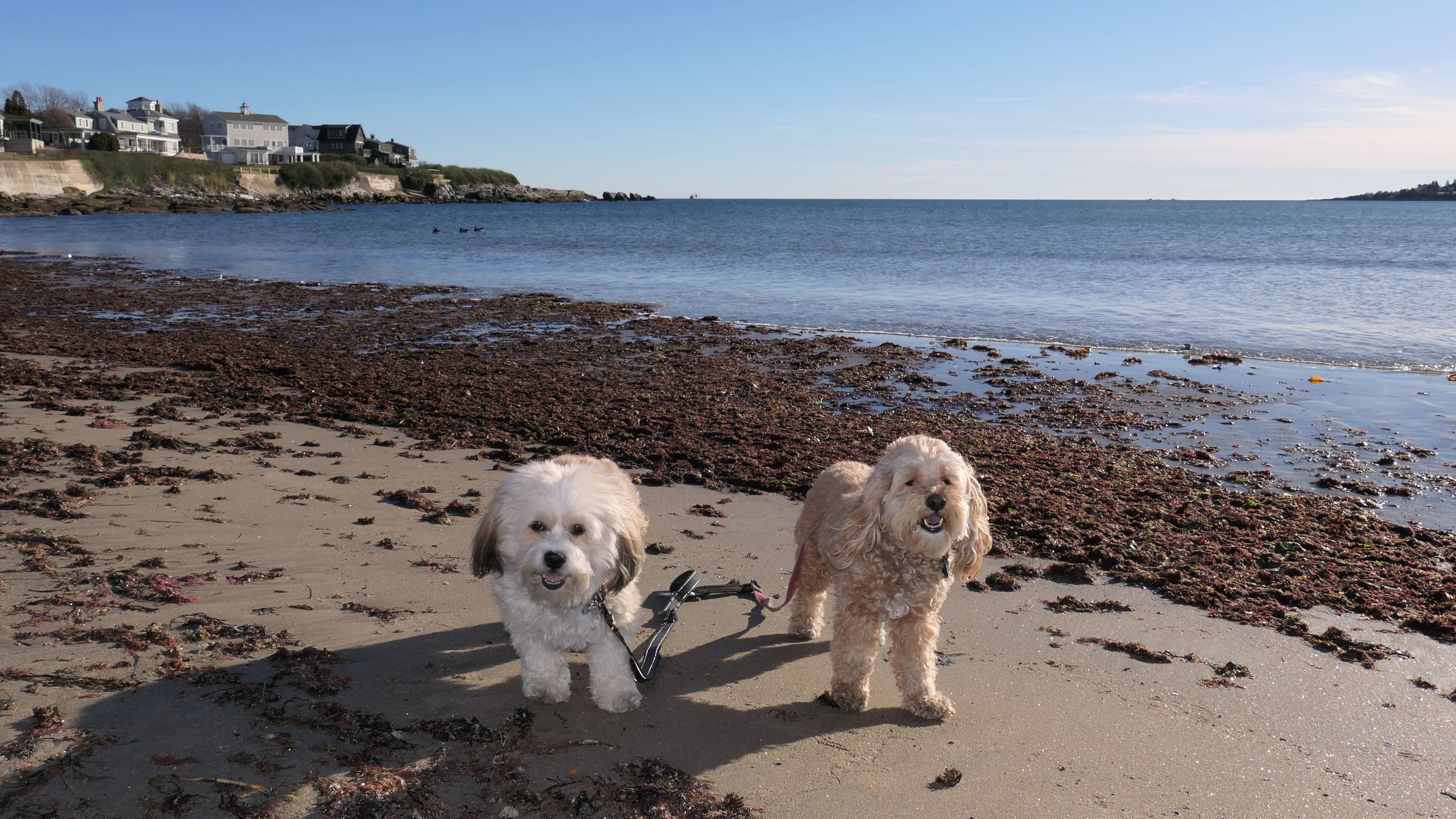
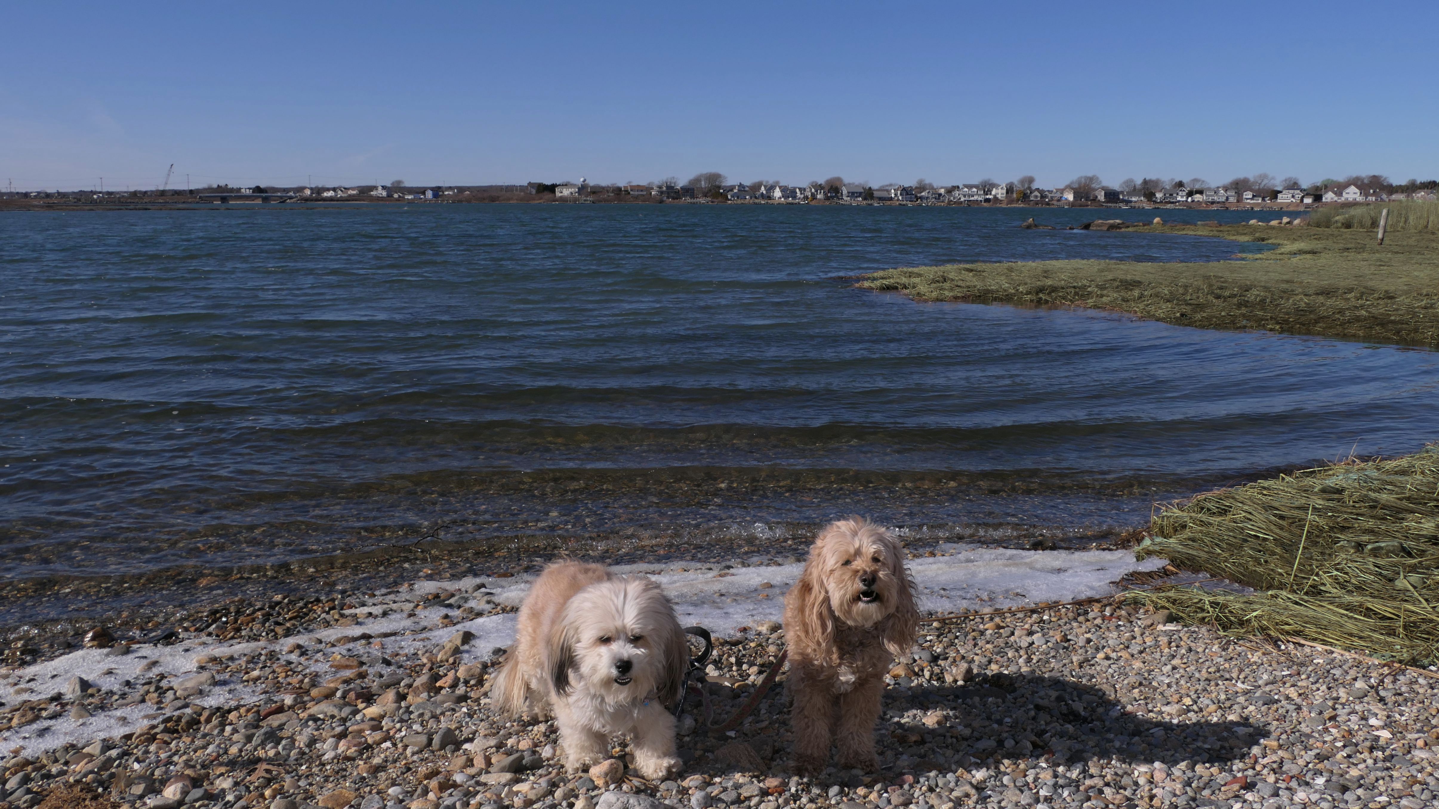
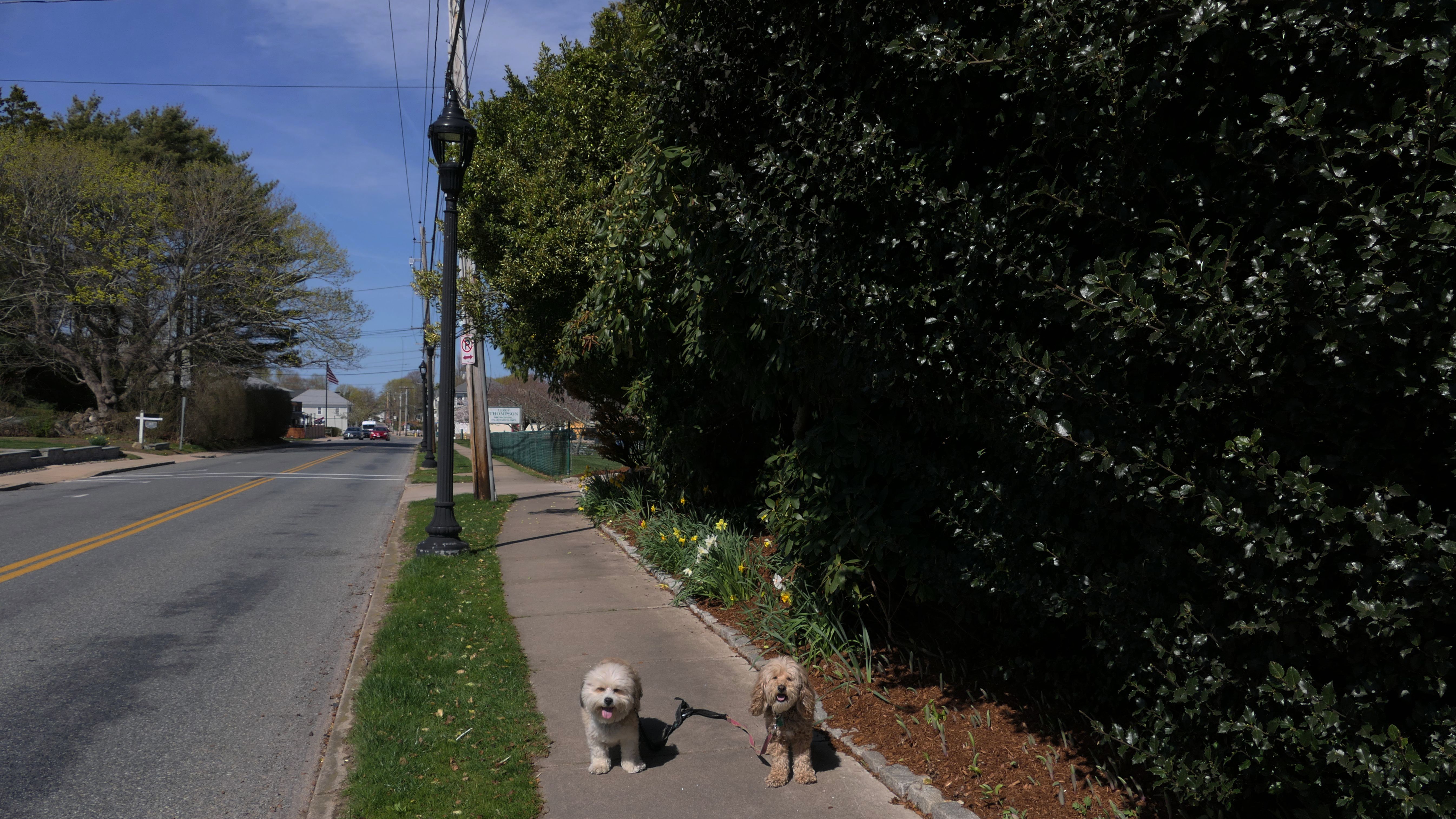
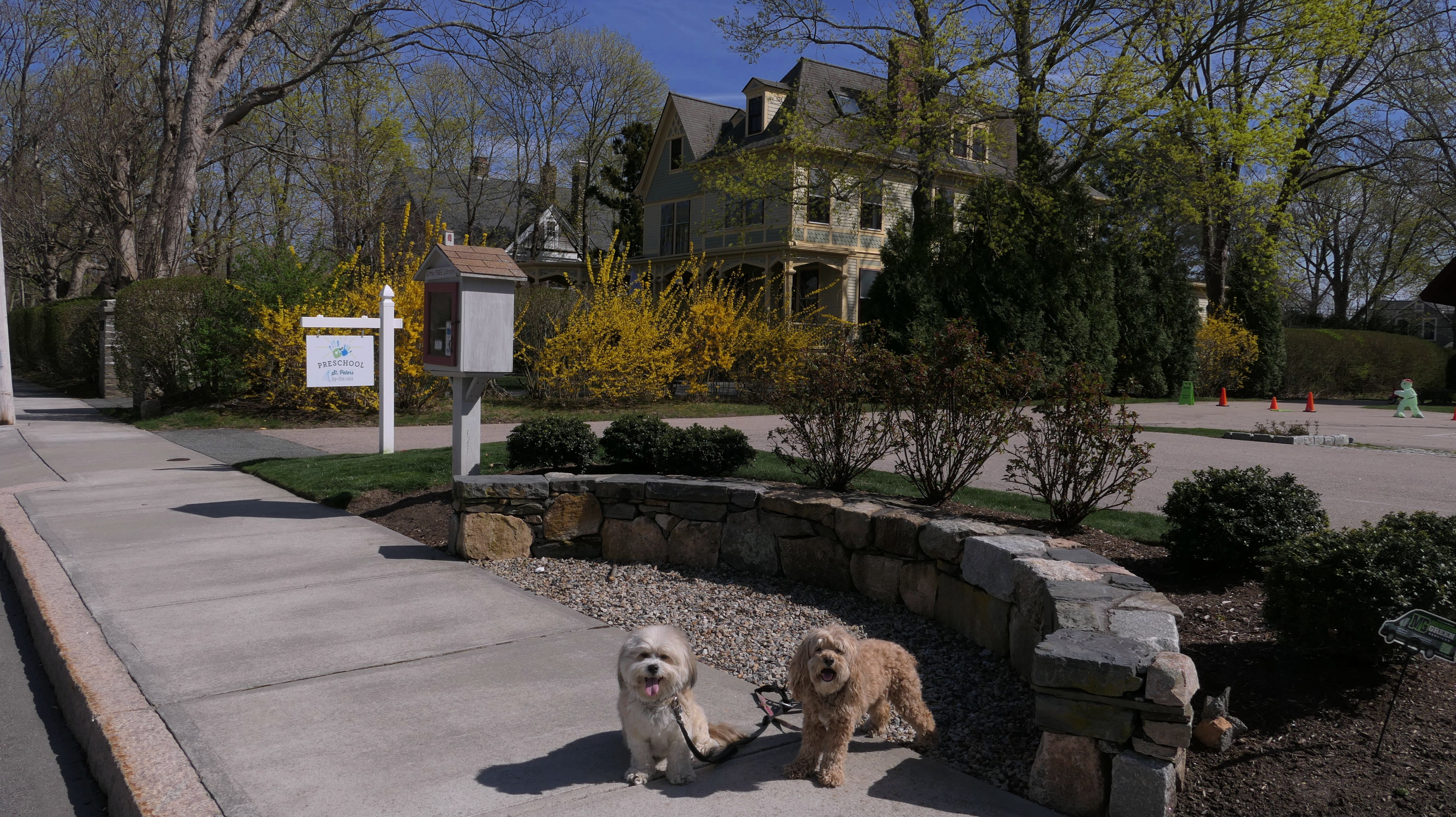
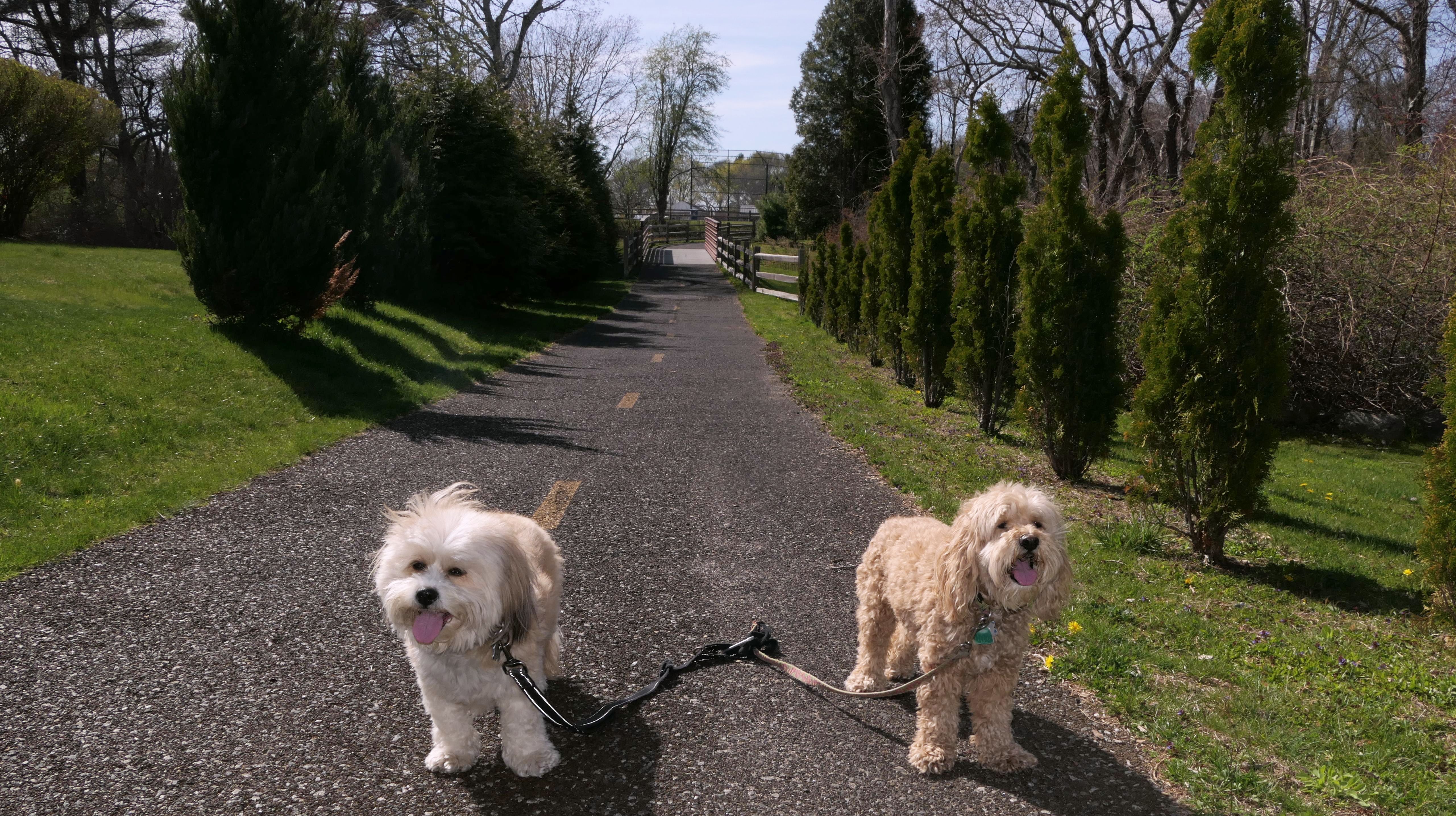
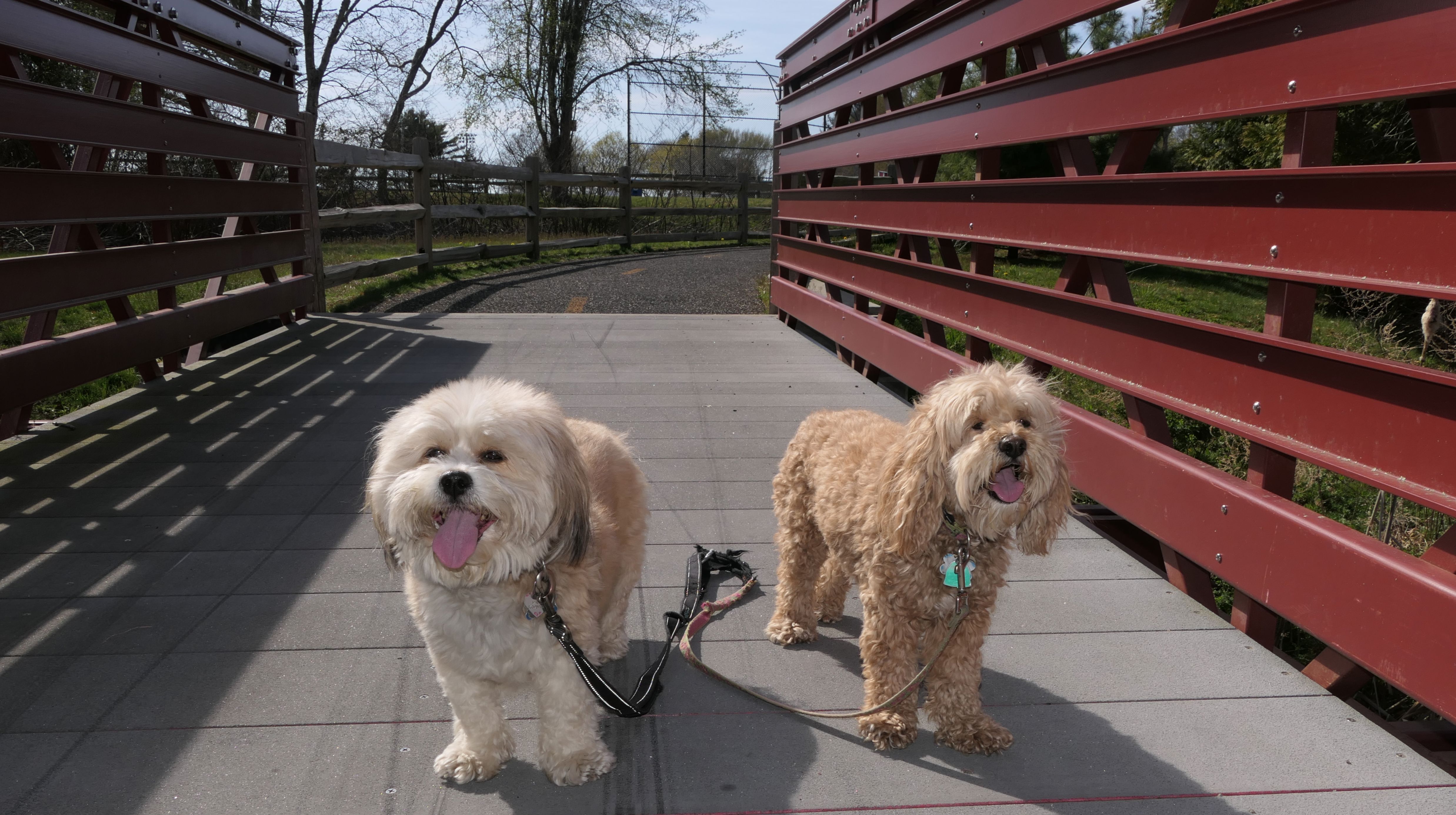
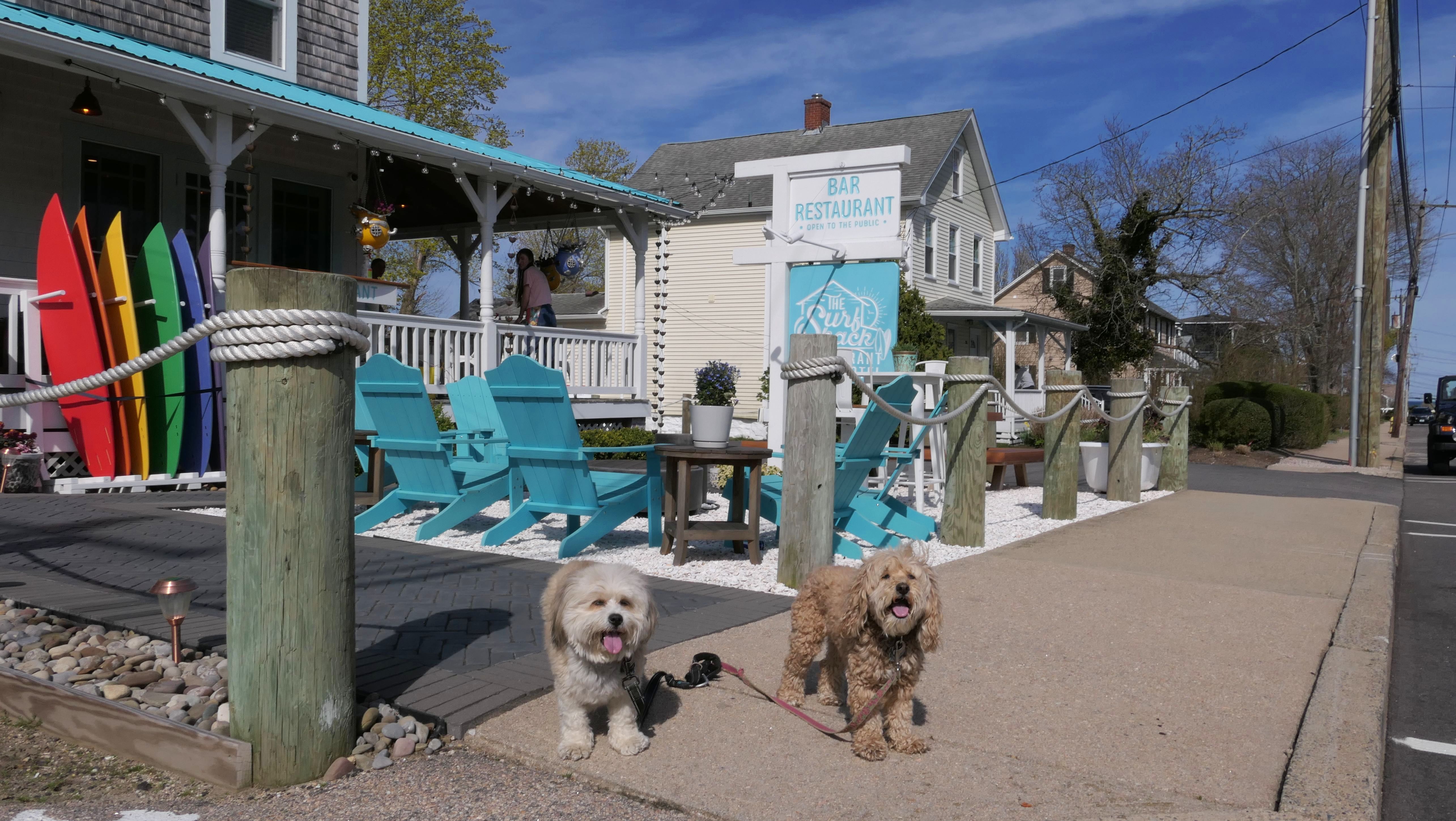
Narragansett
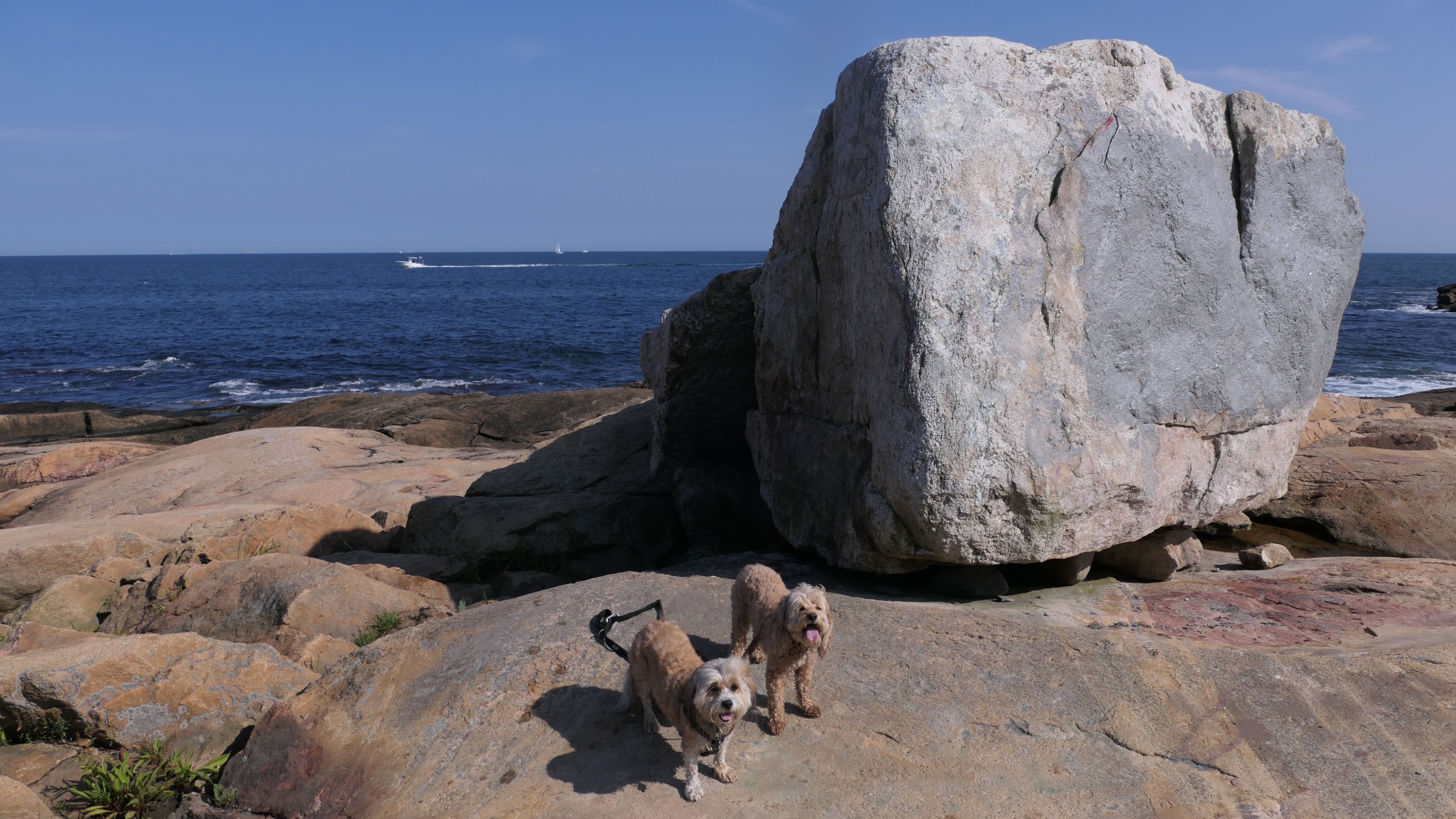
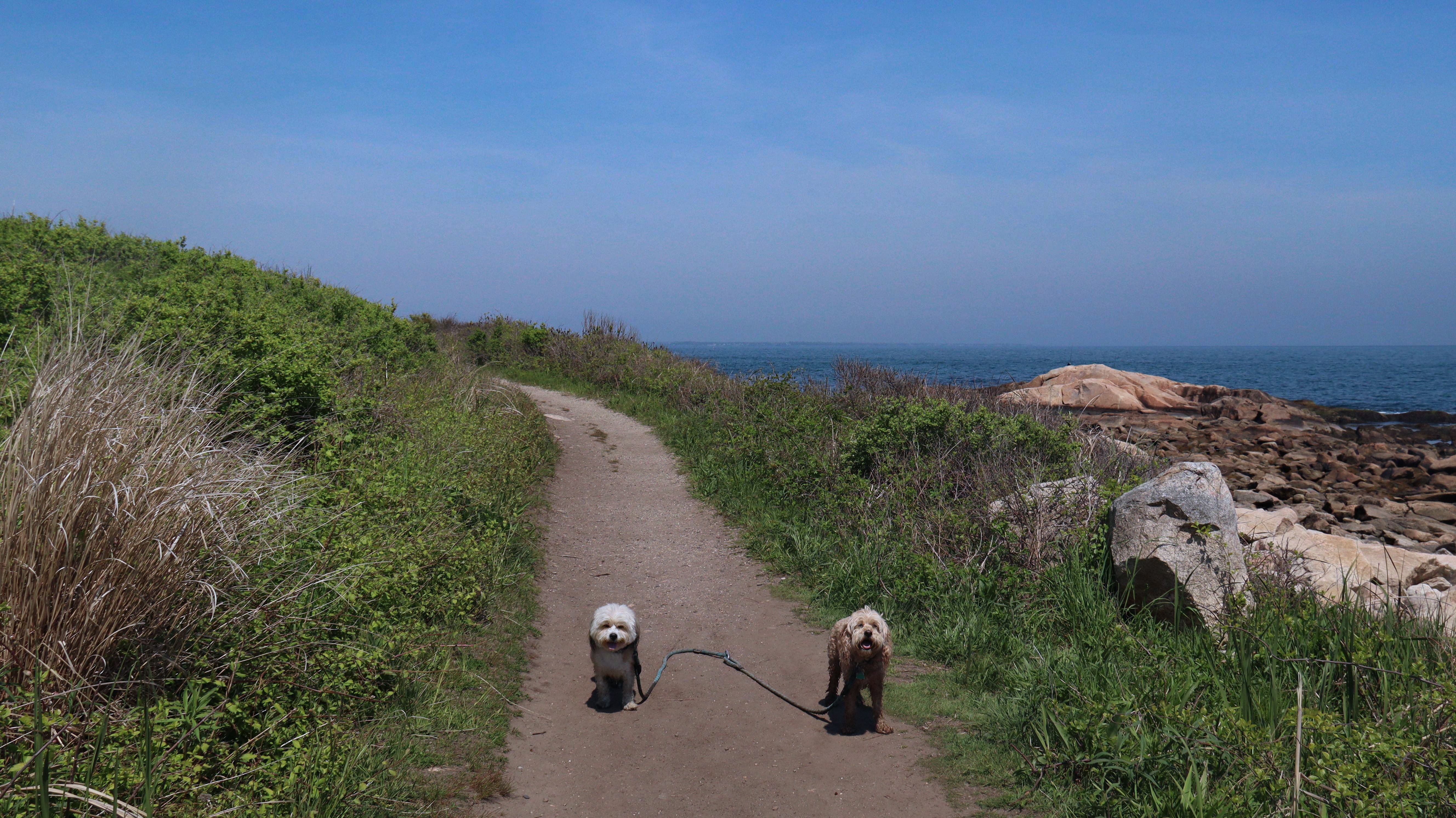
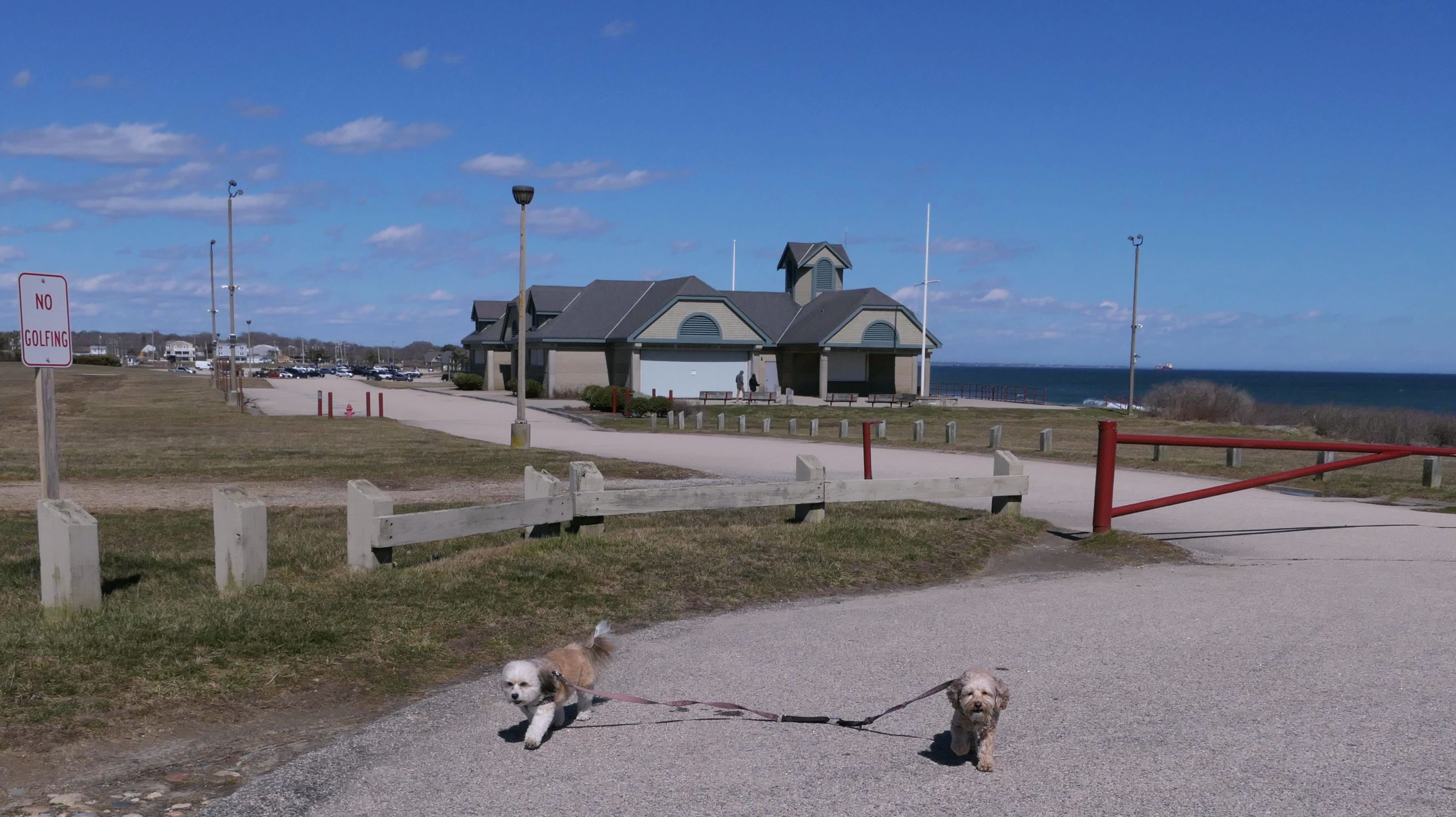
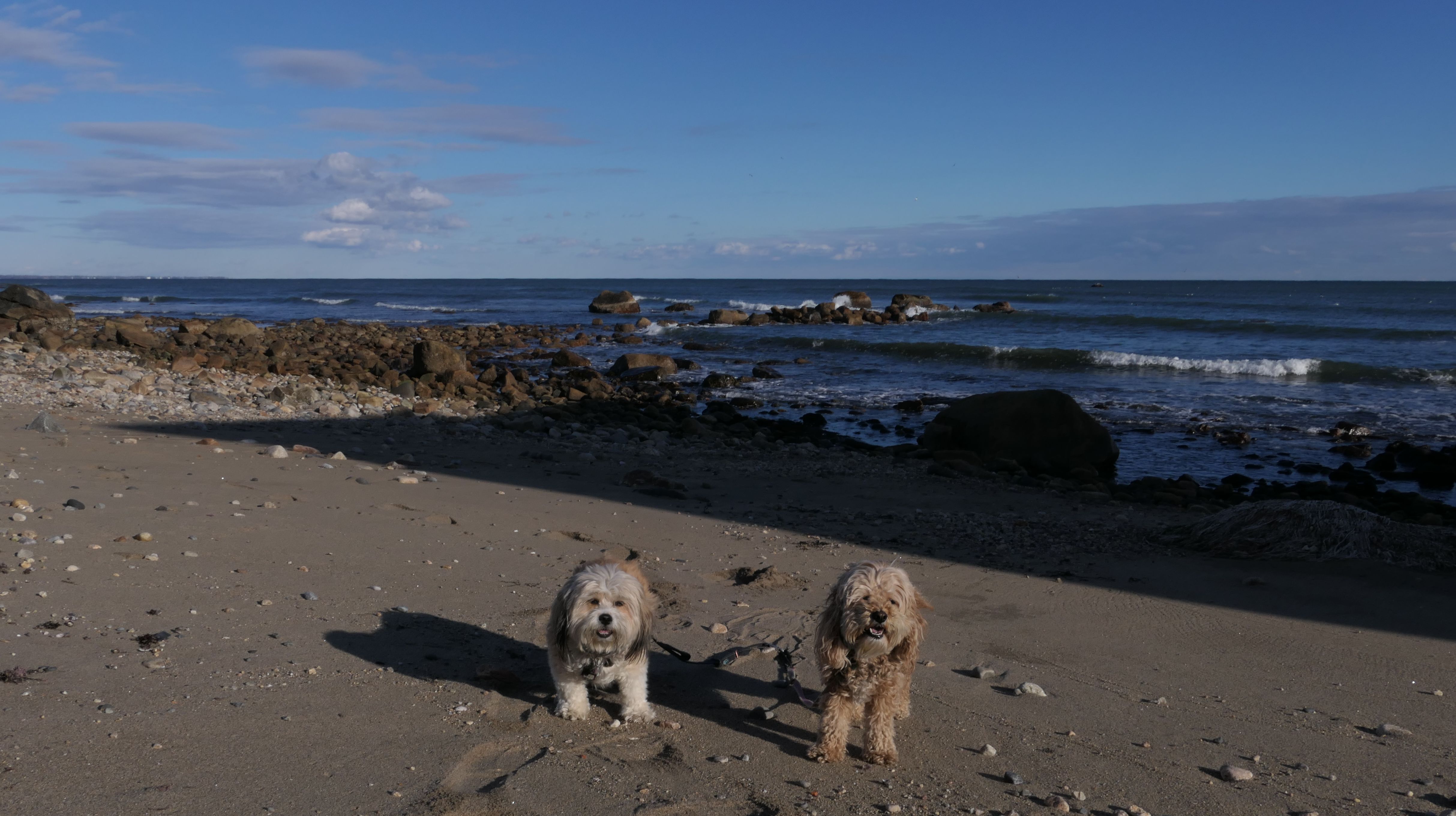
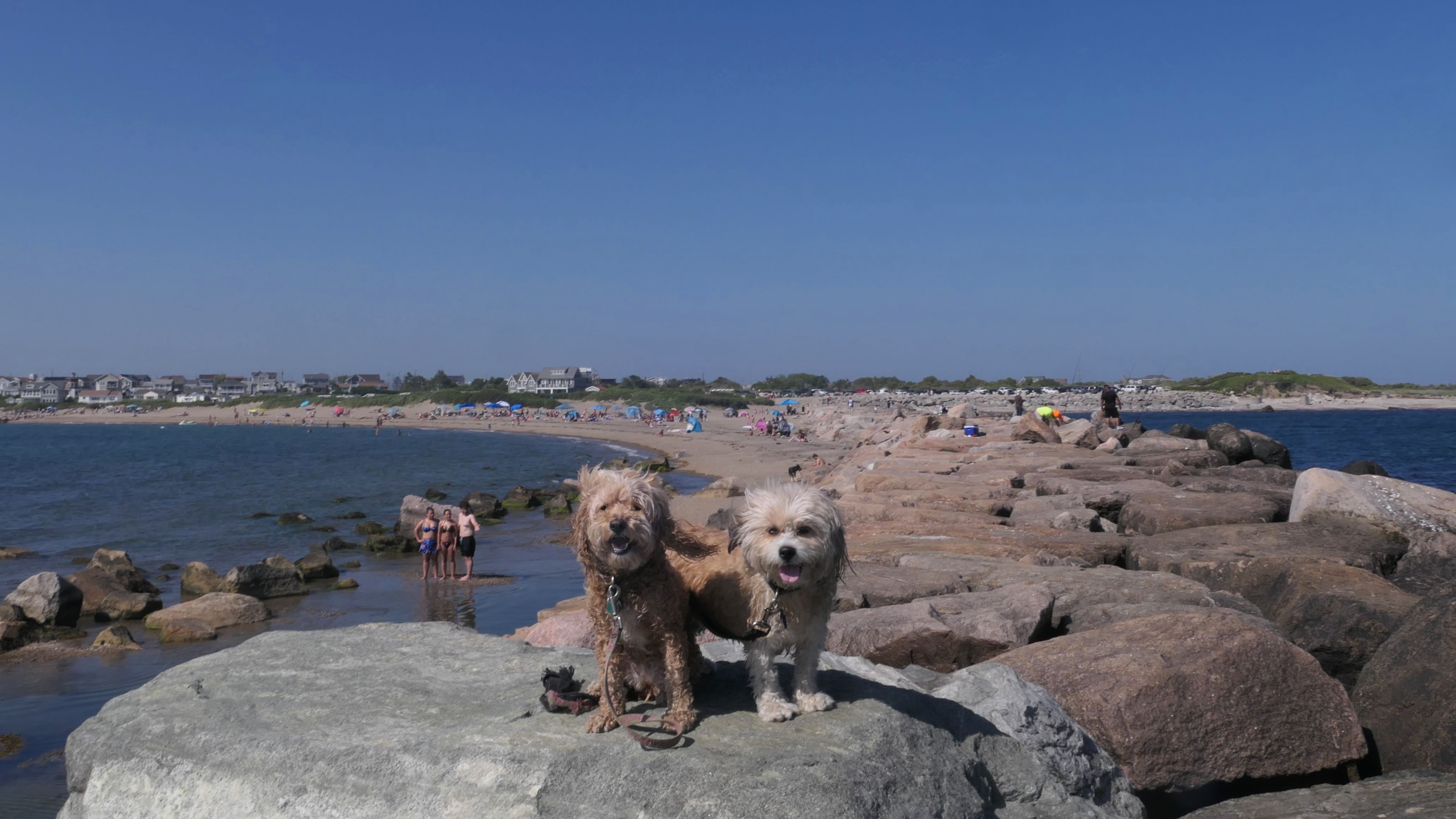
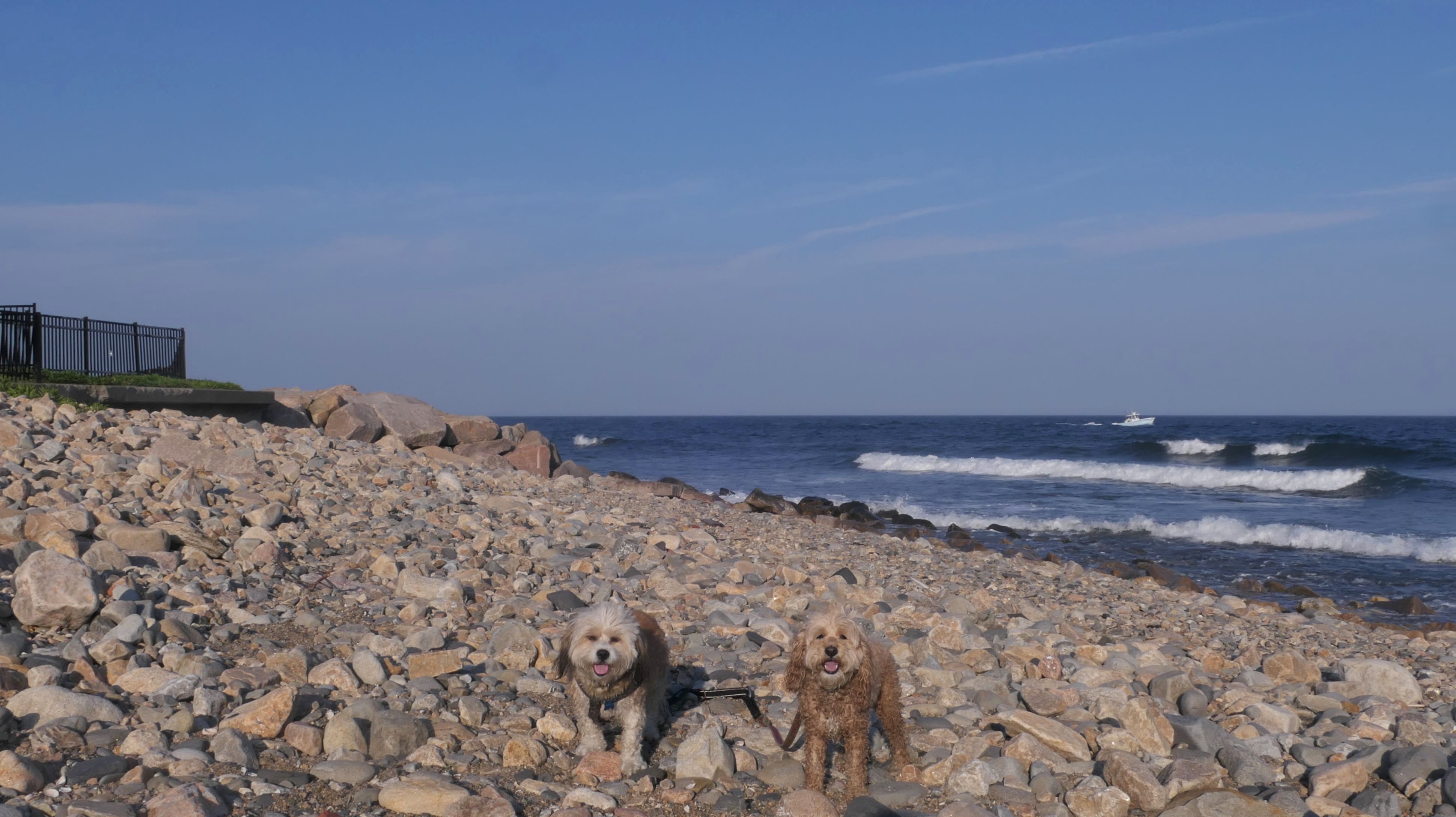
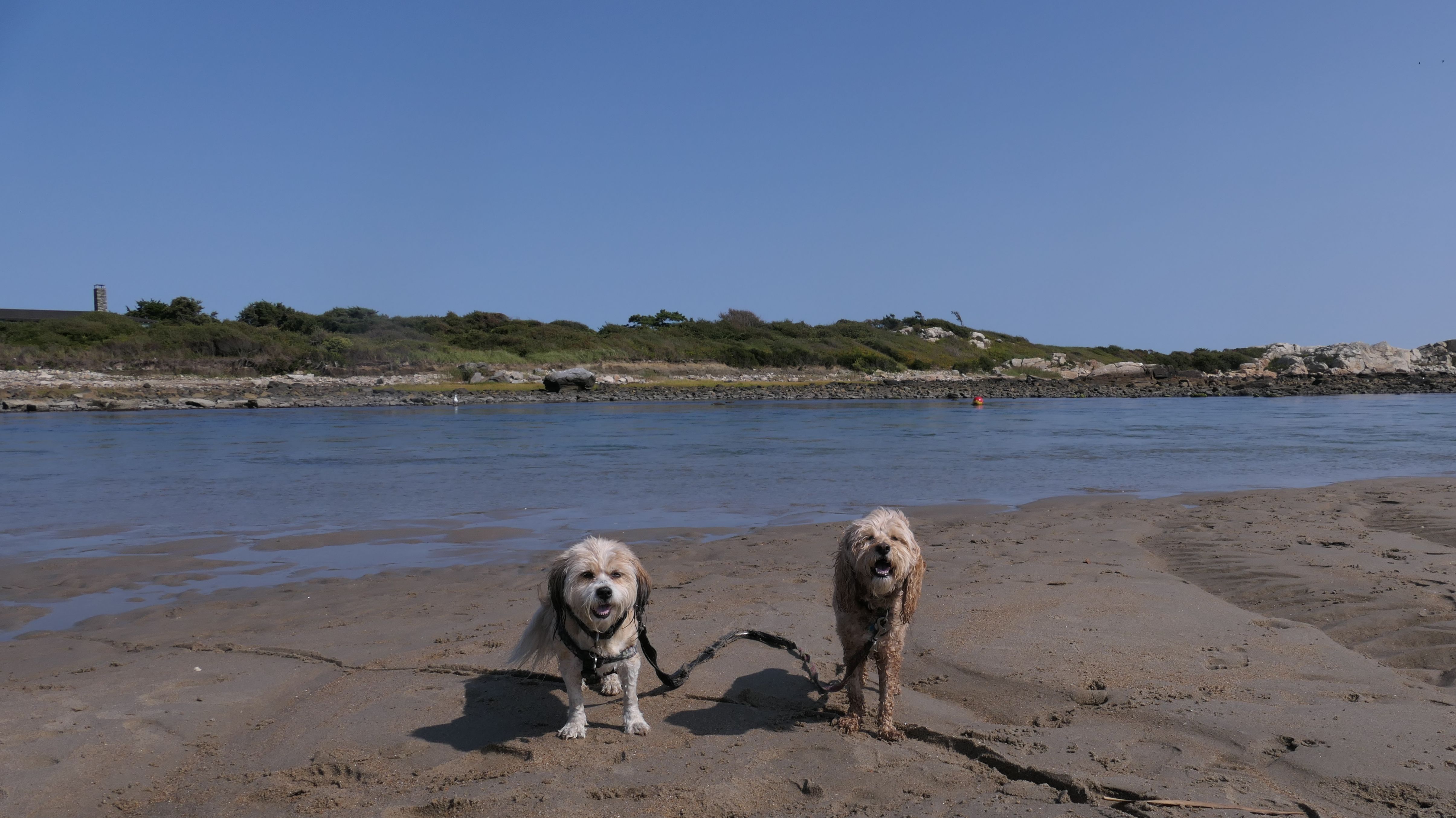
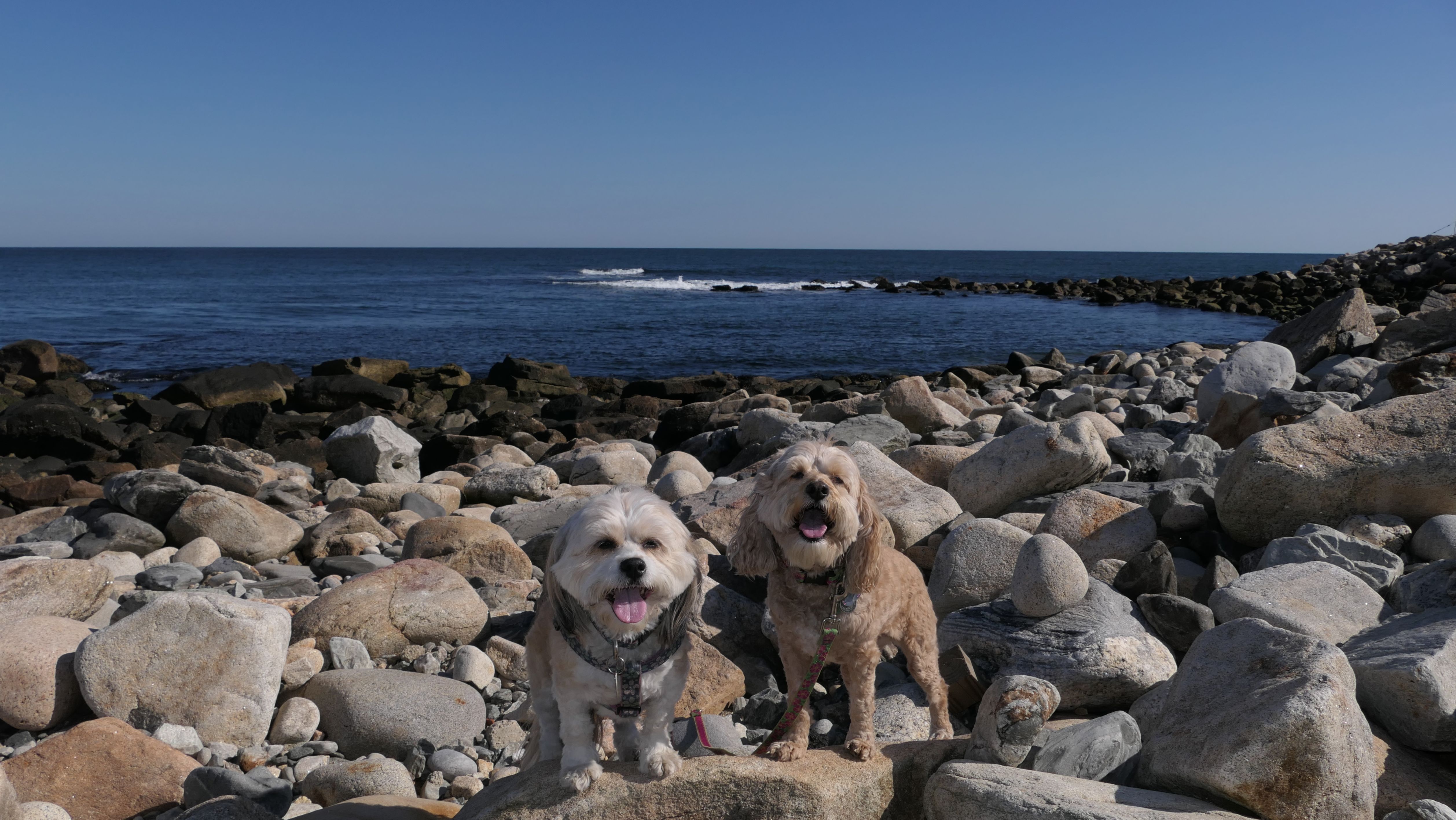
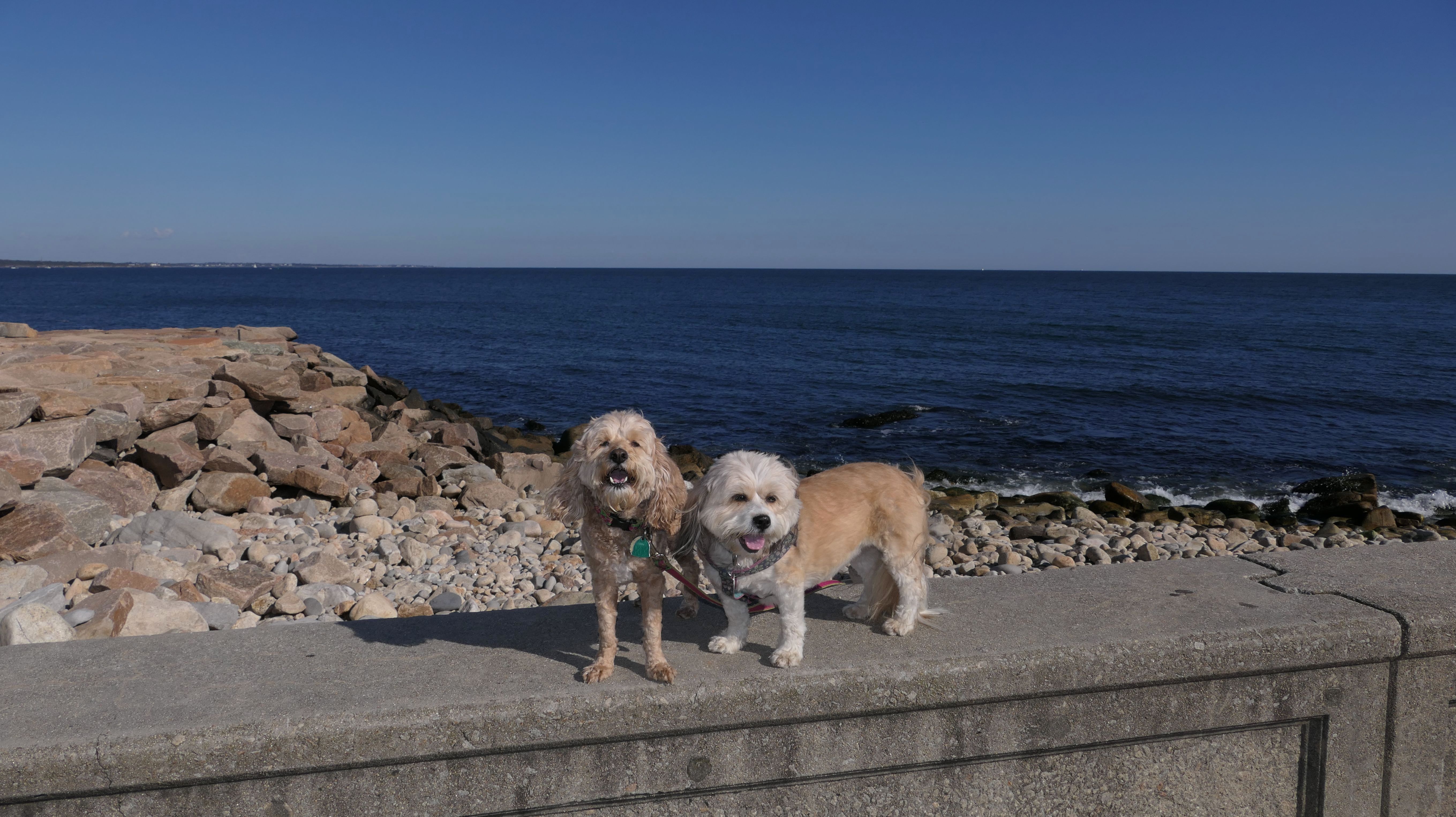
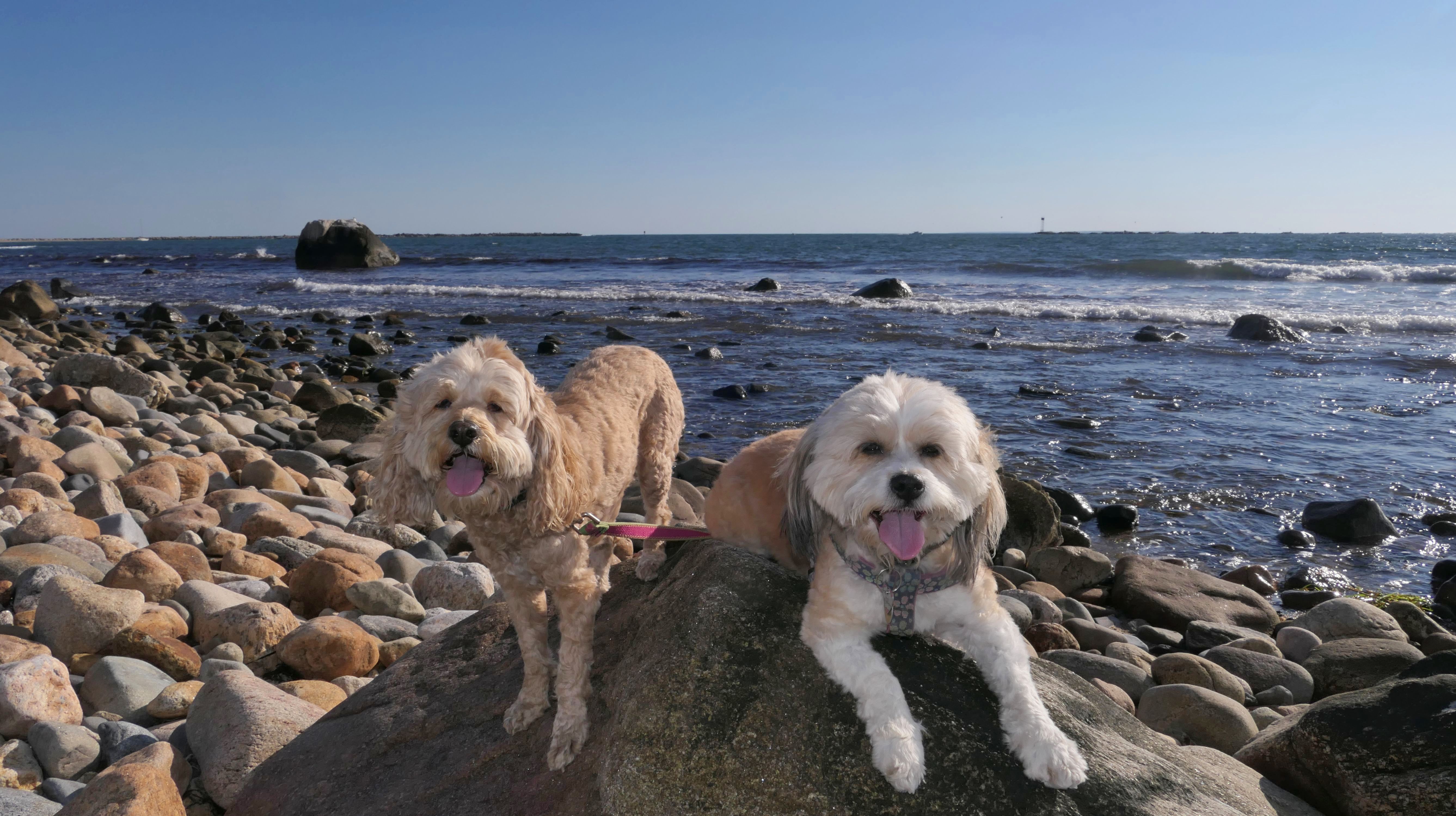
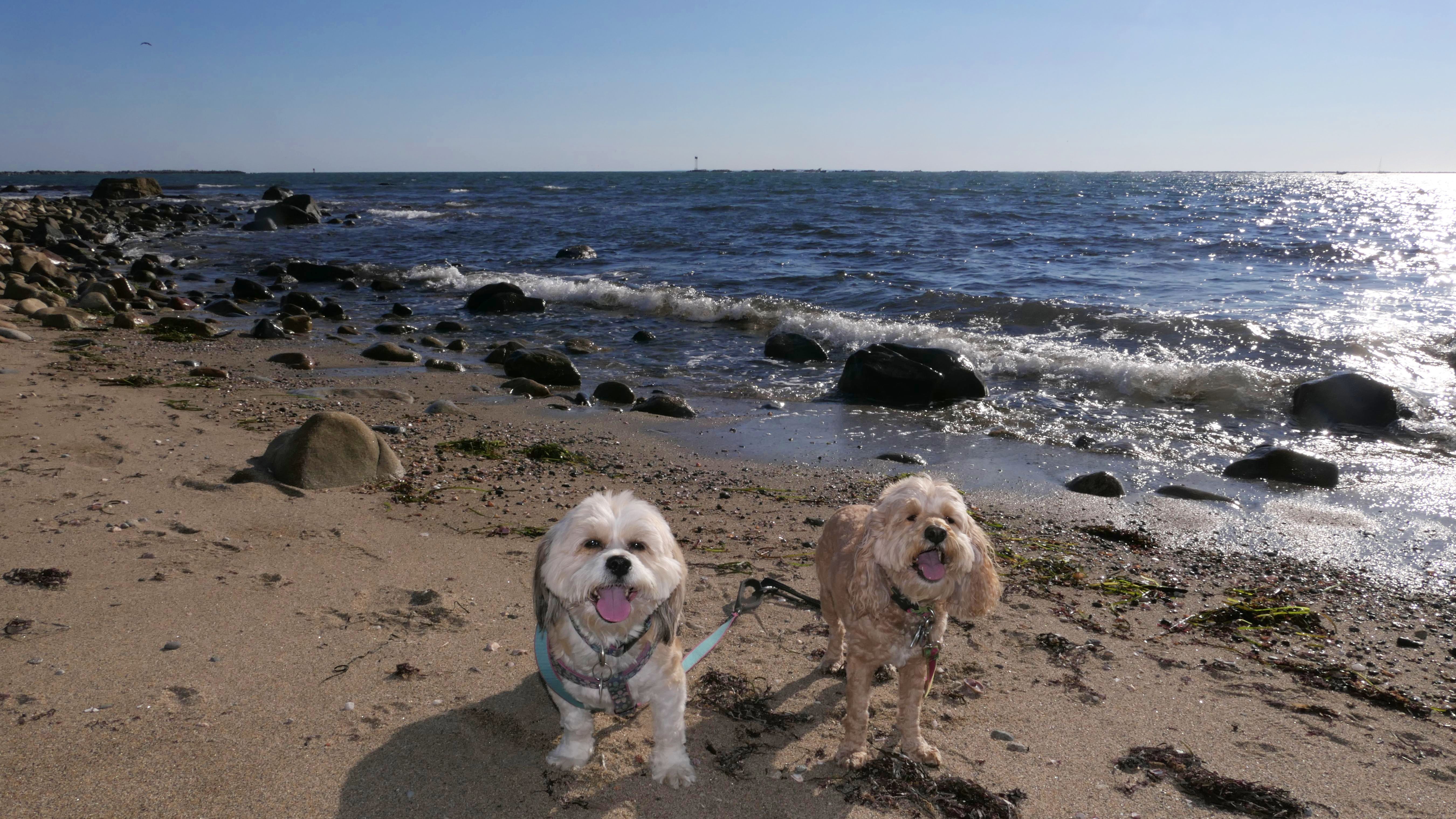
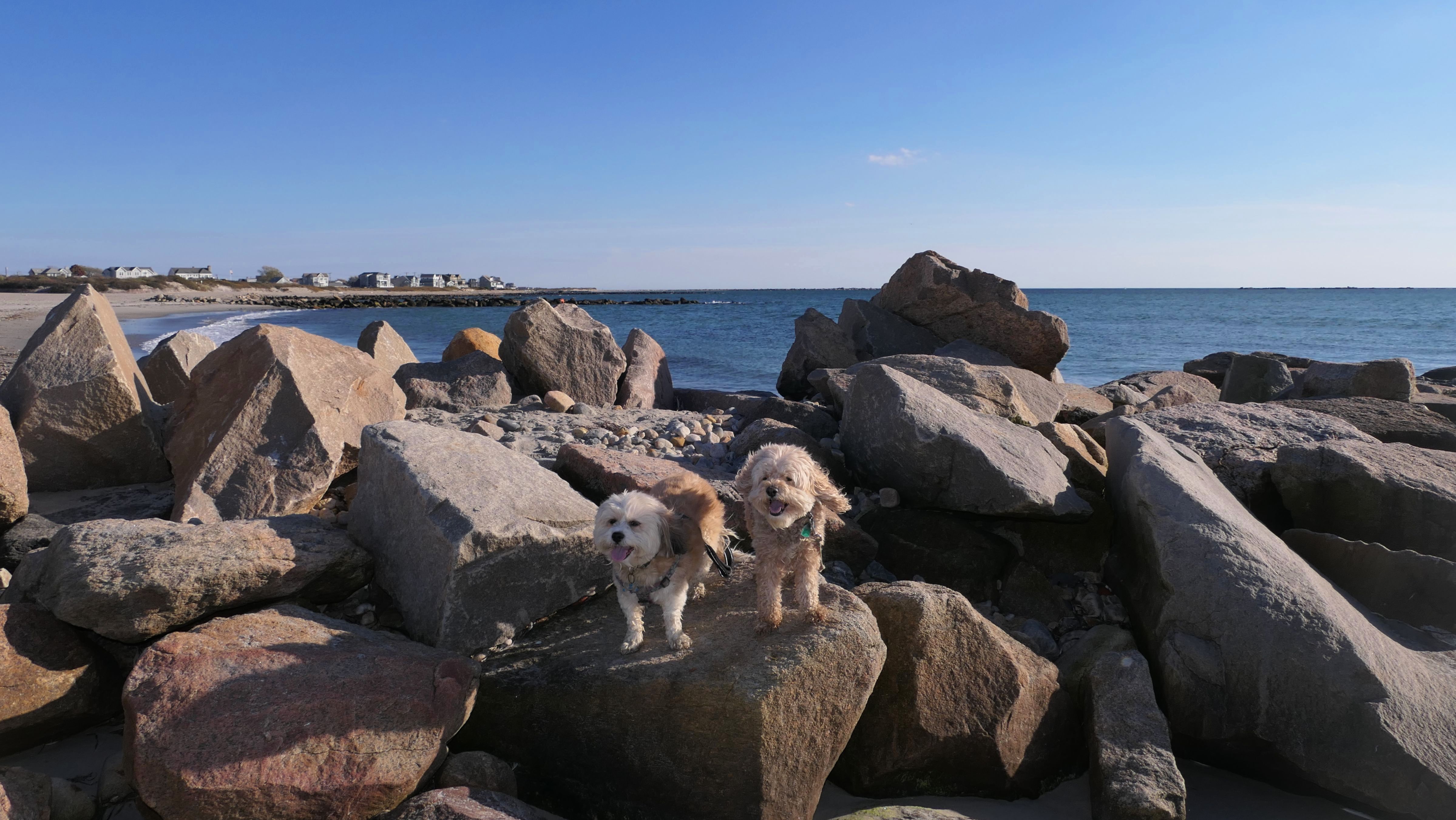
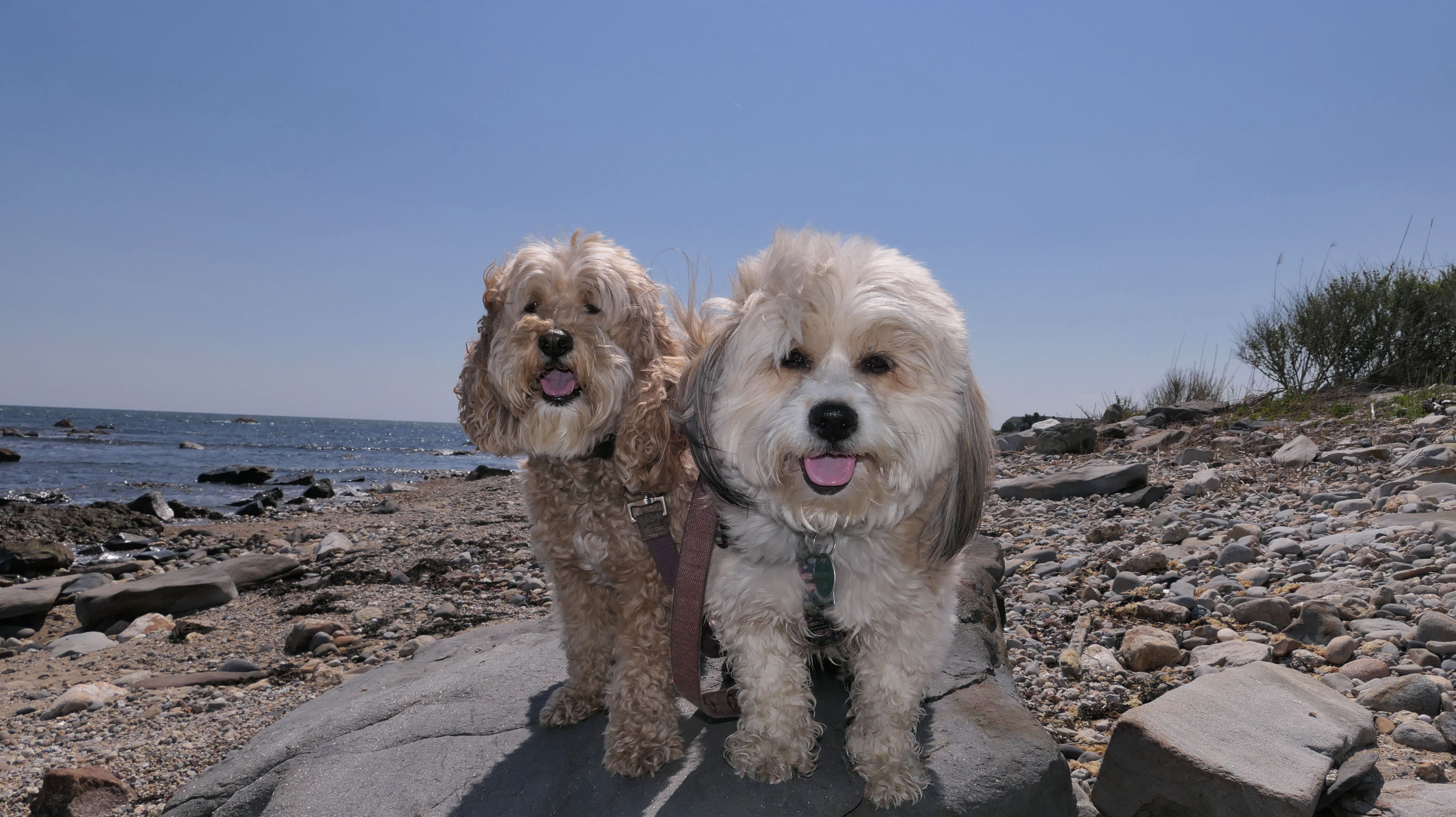
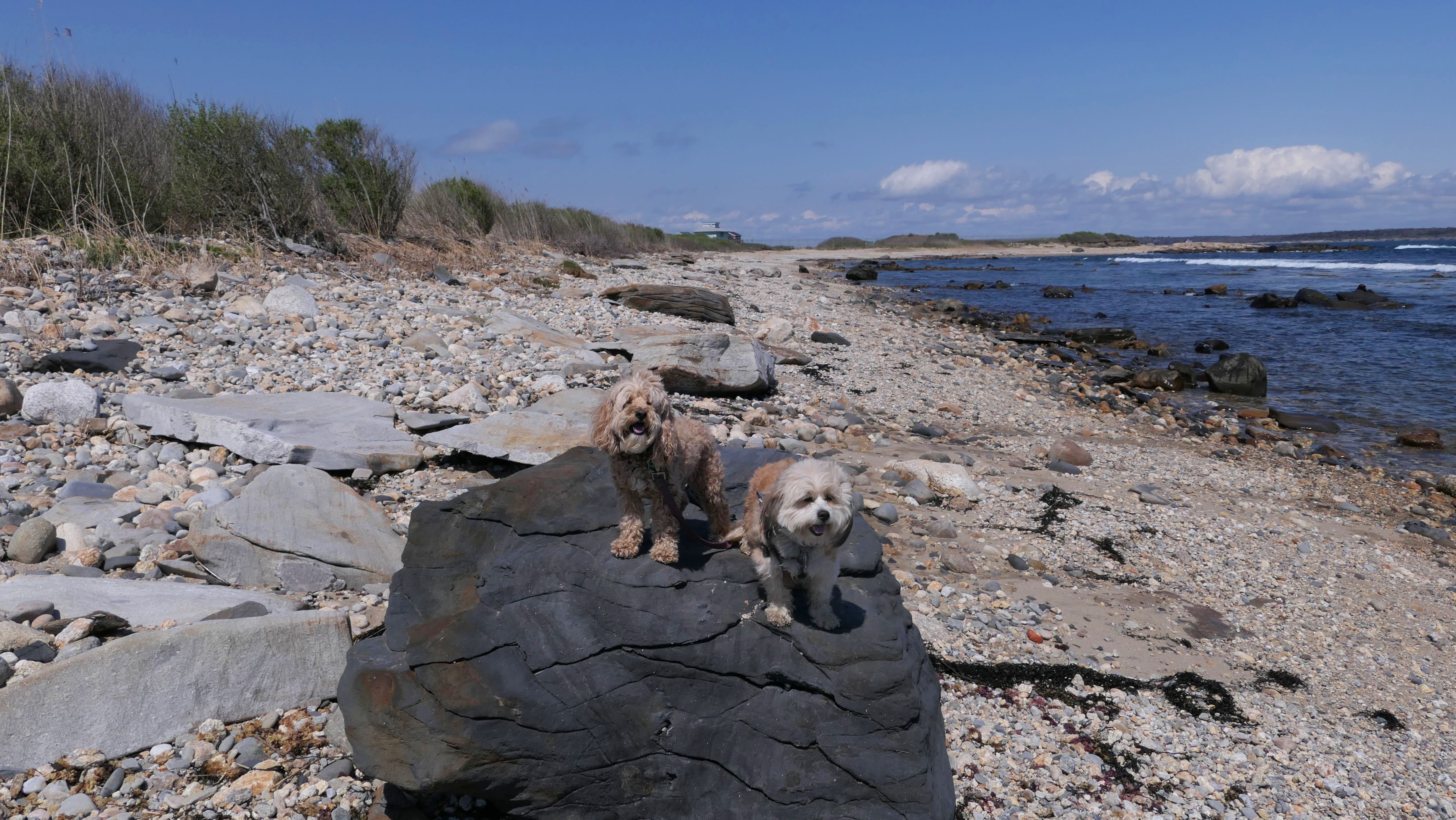
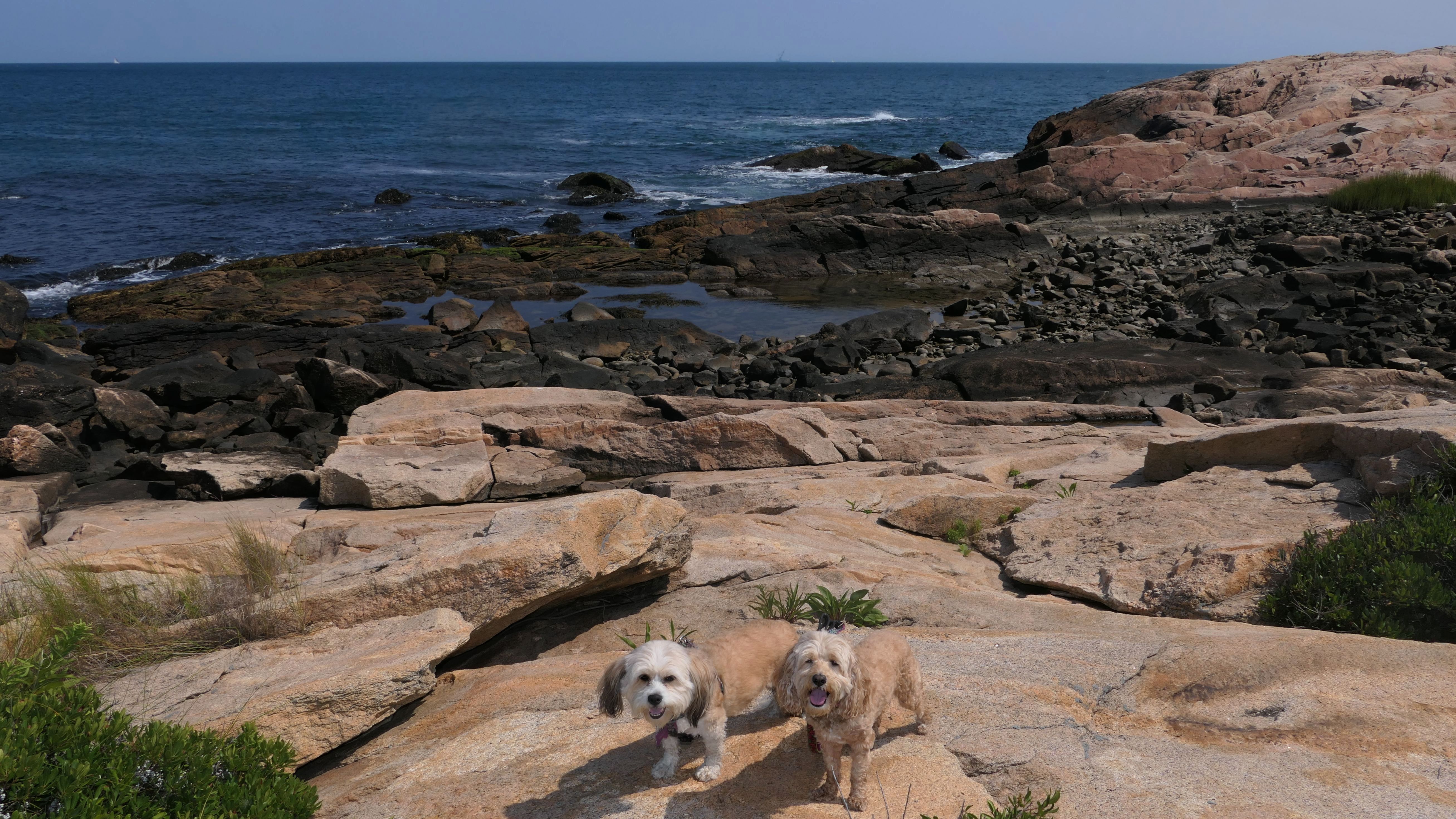
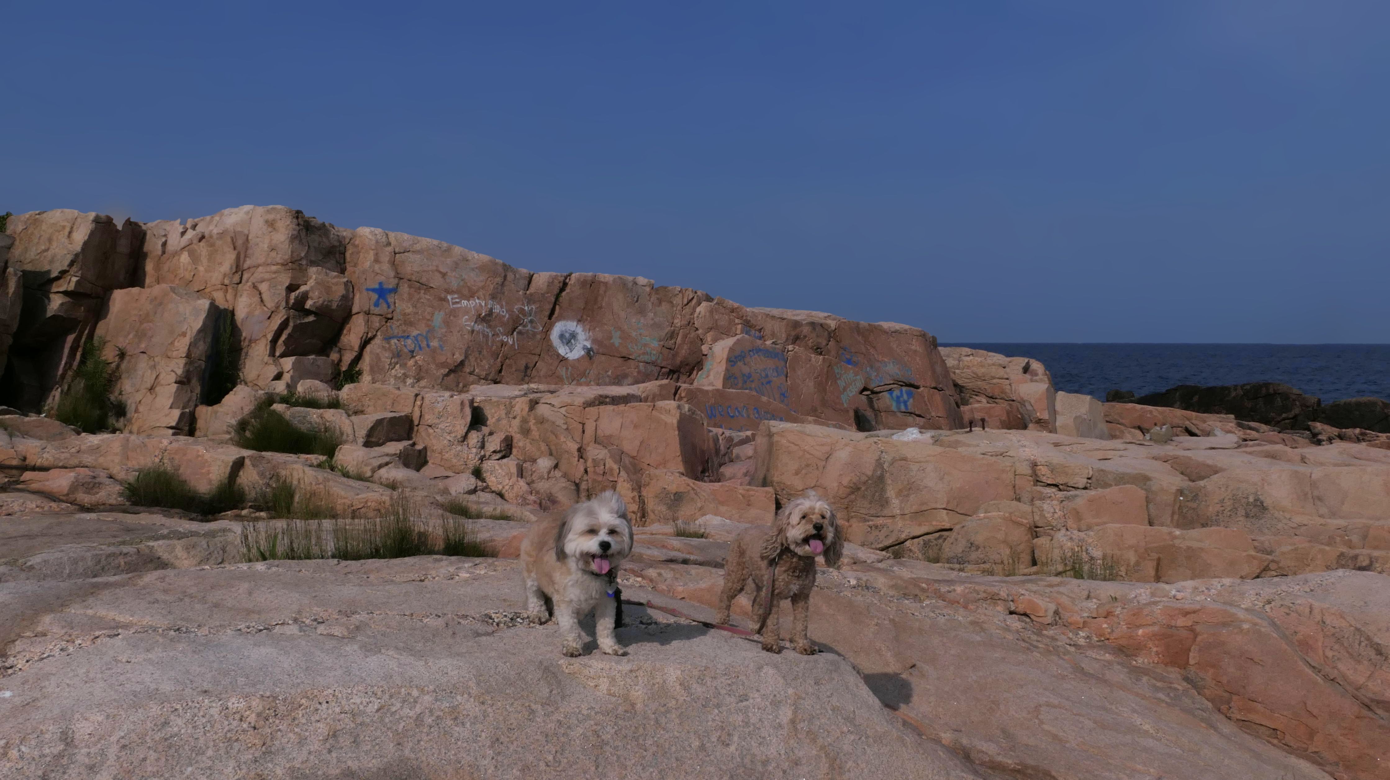
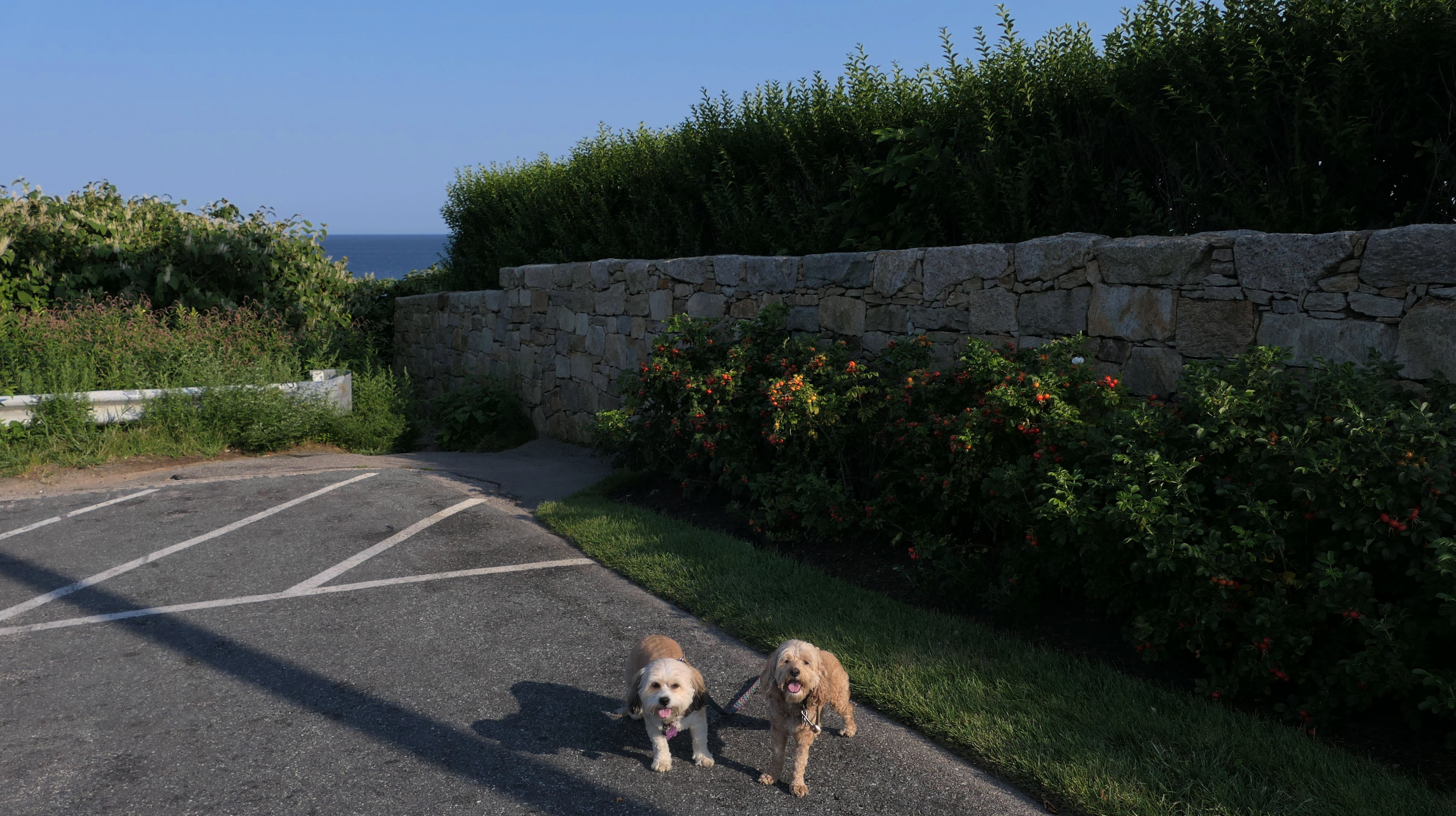
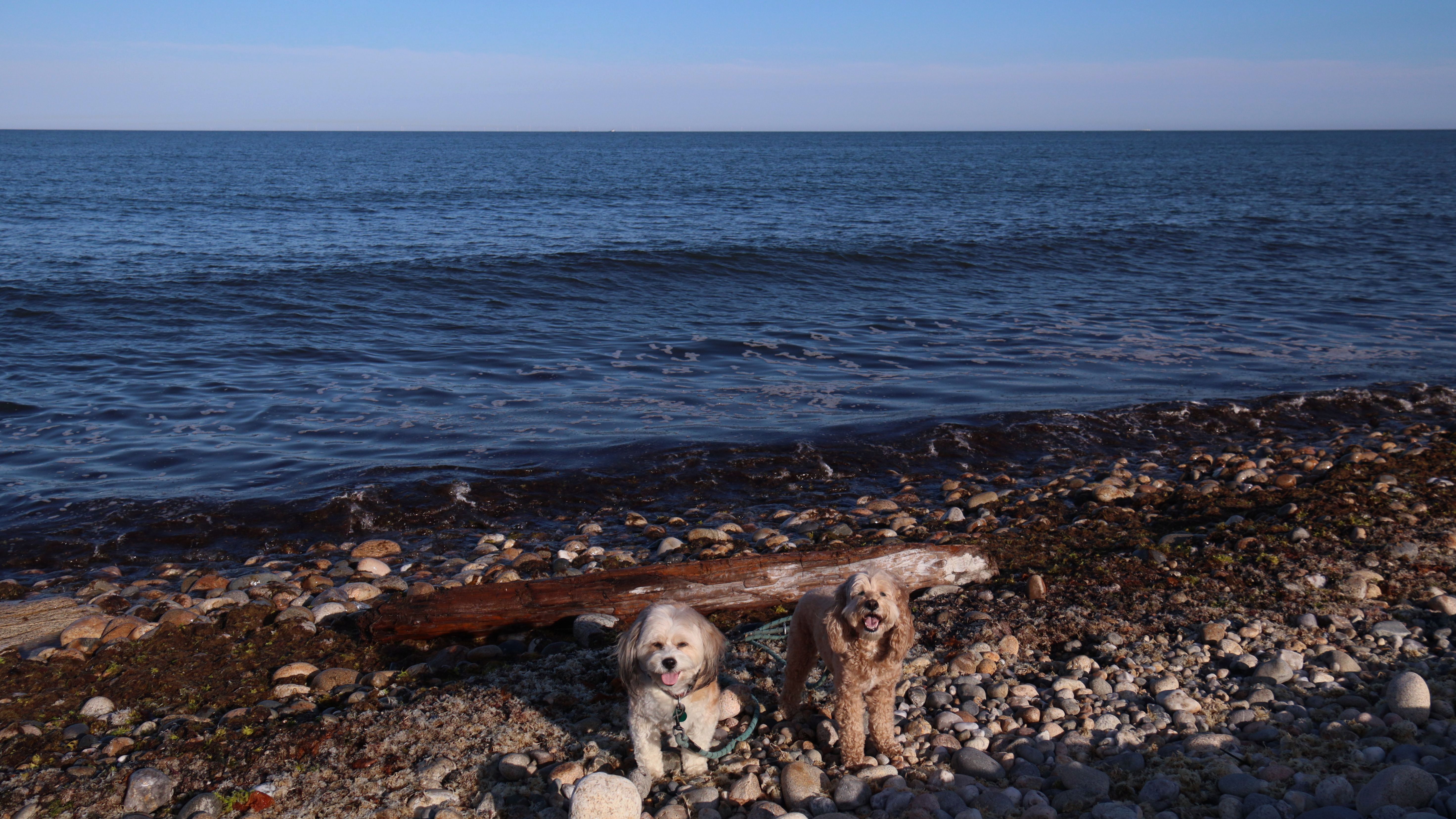
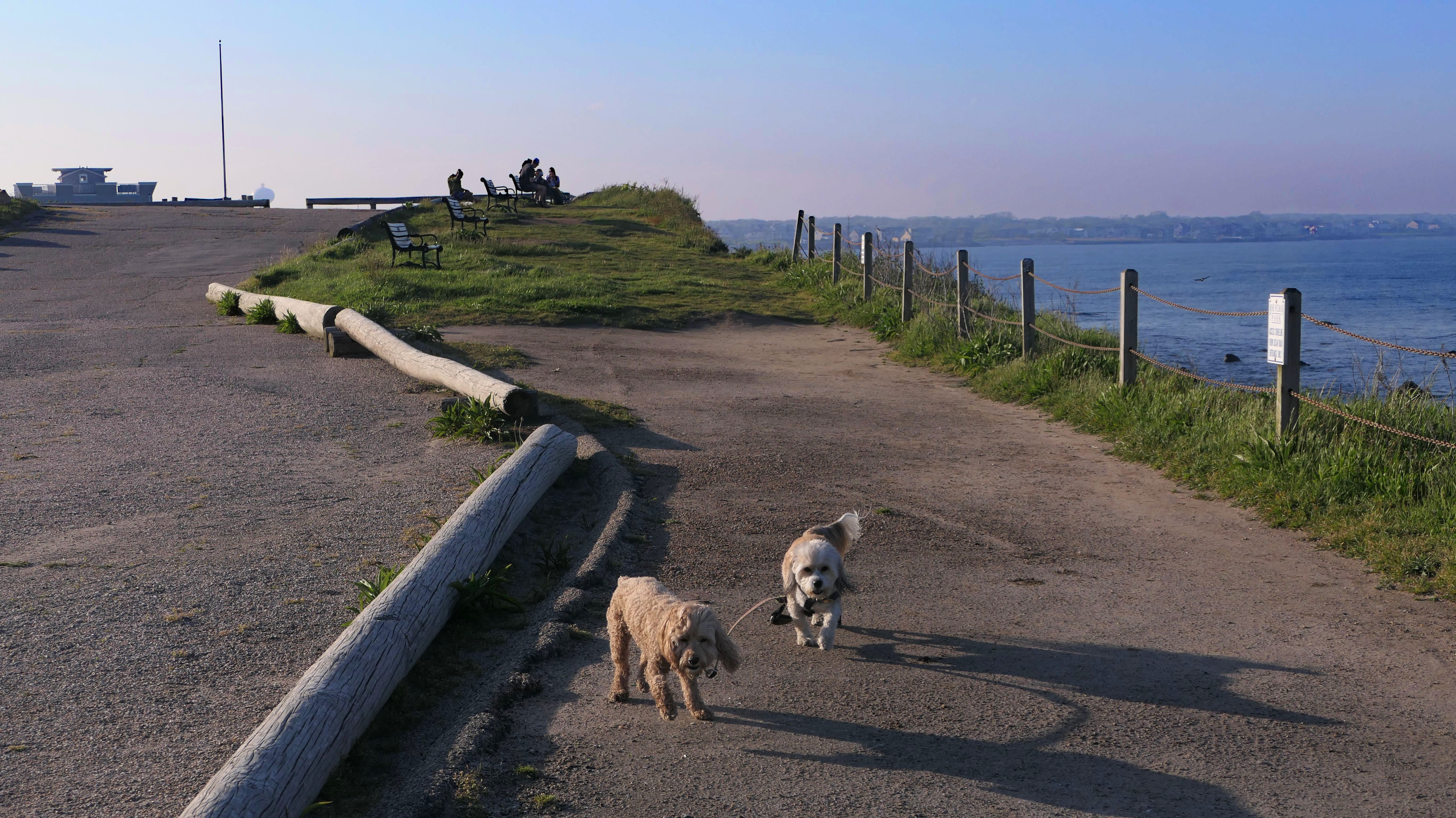
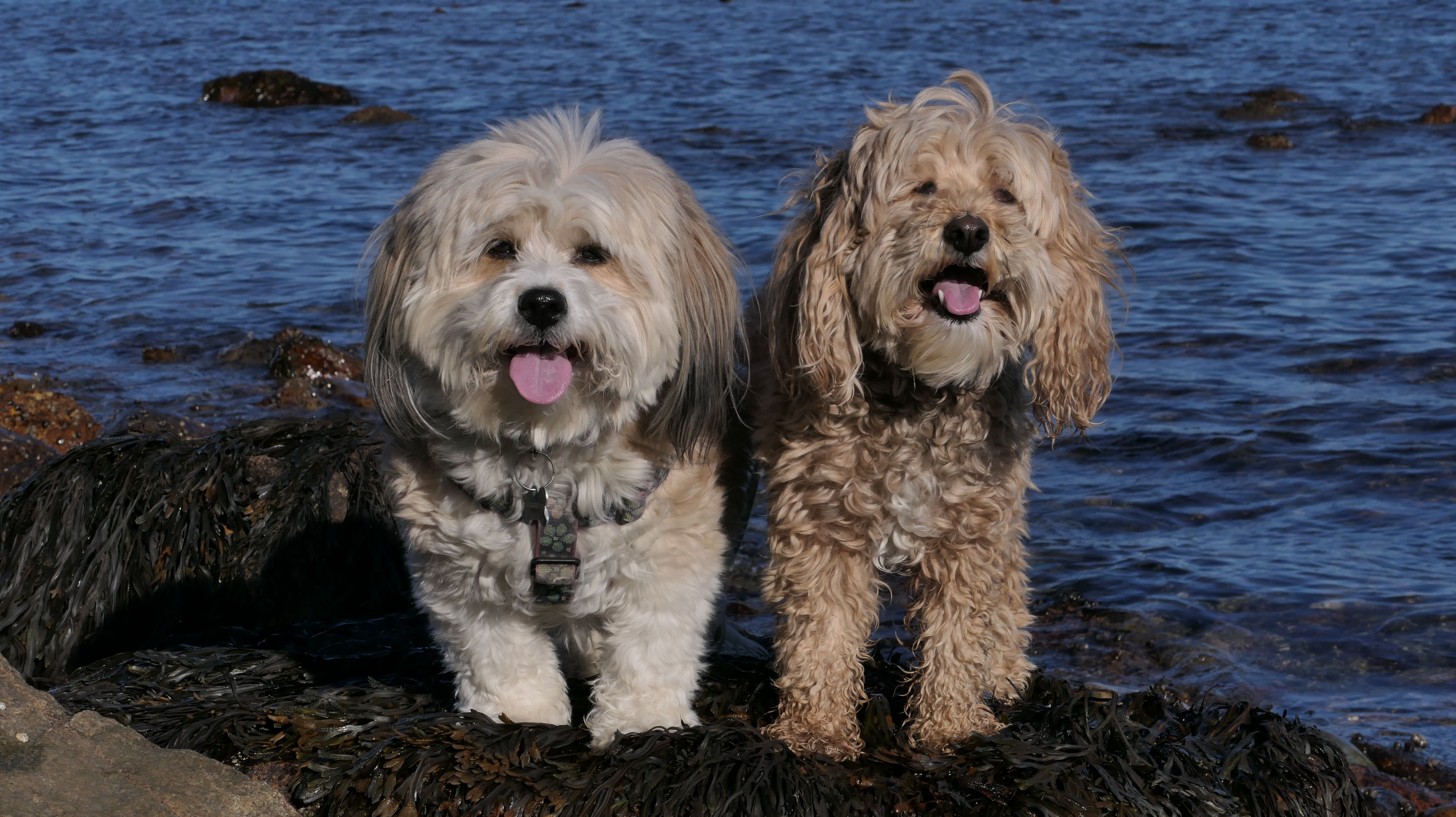
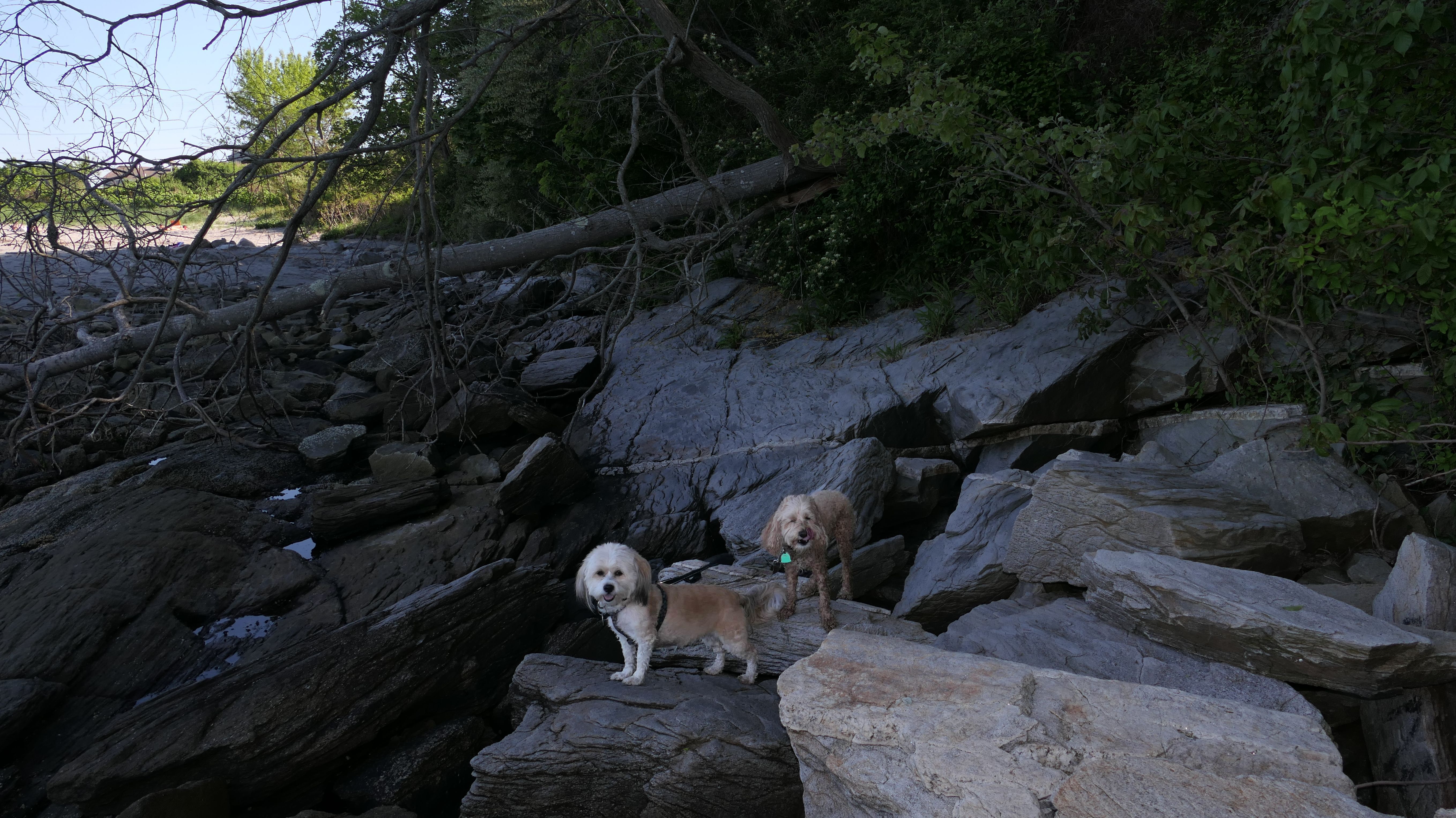
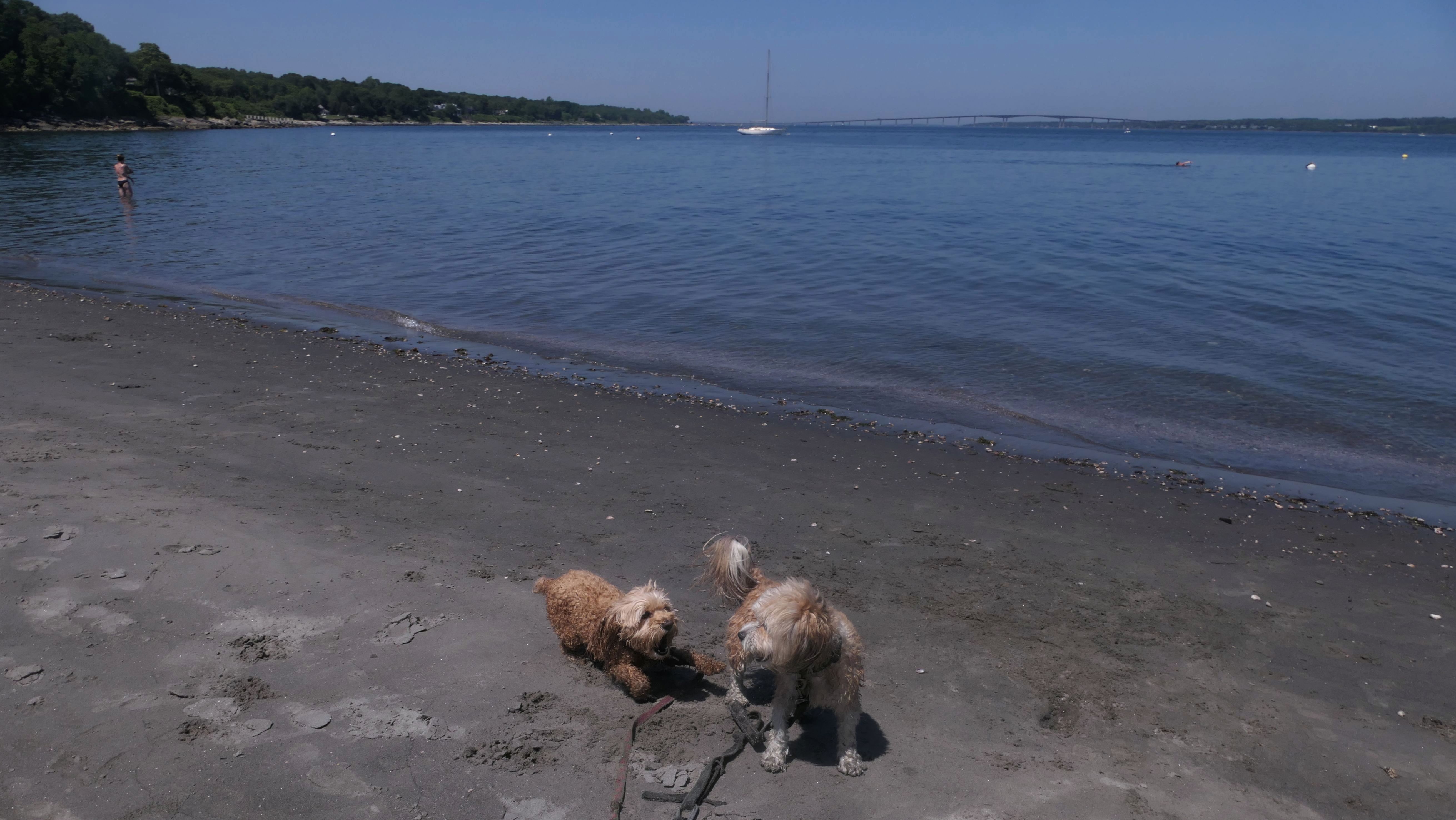
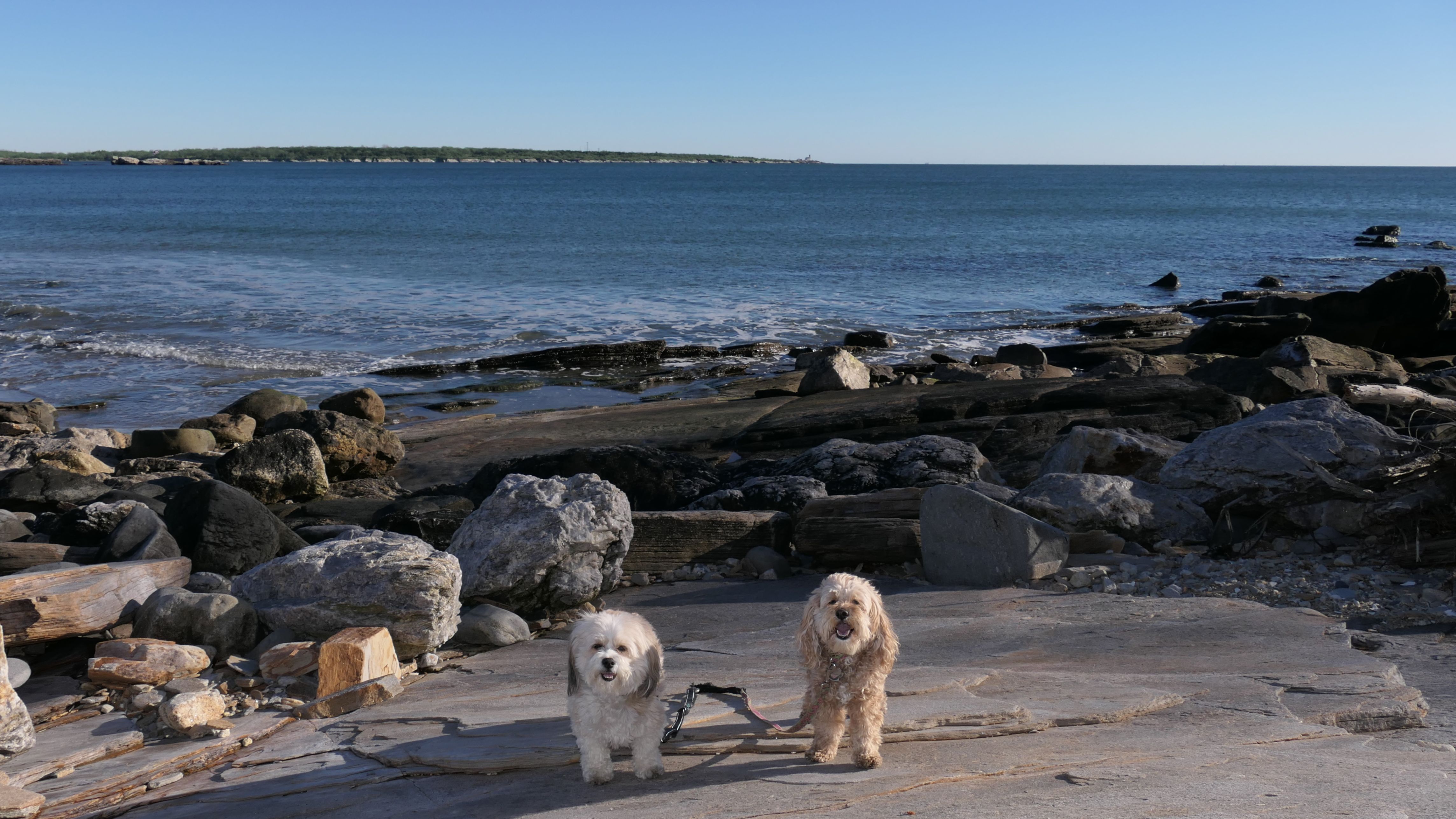
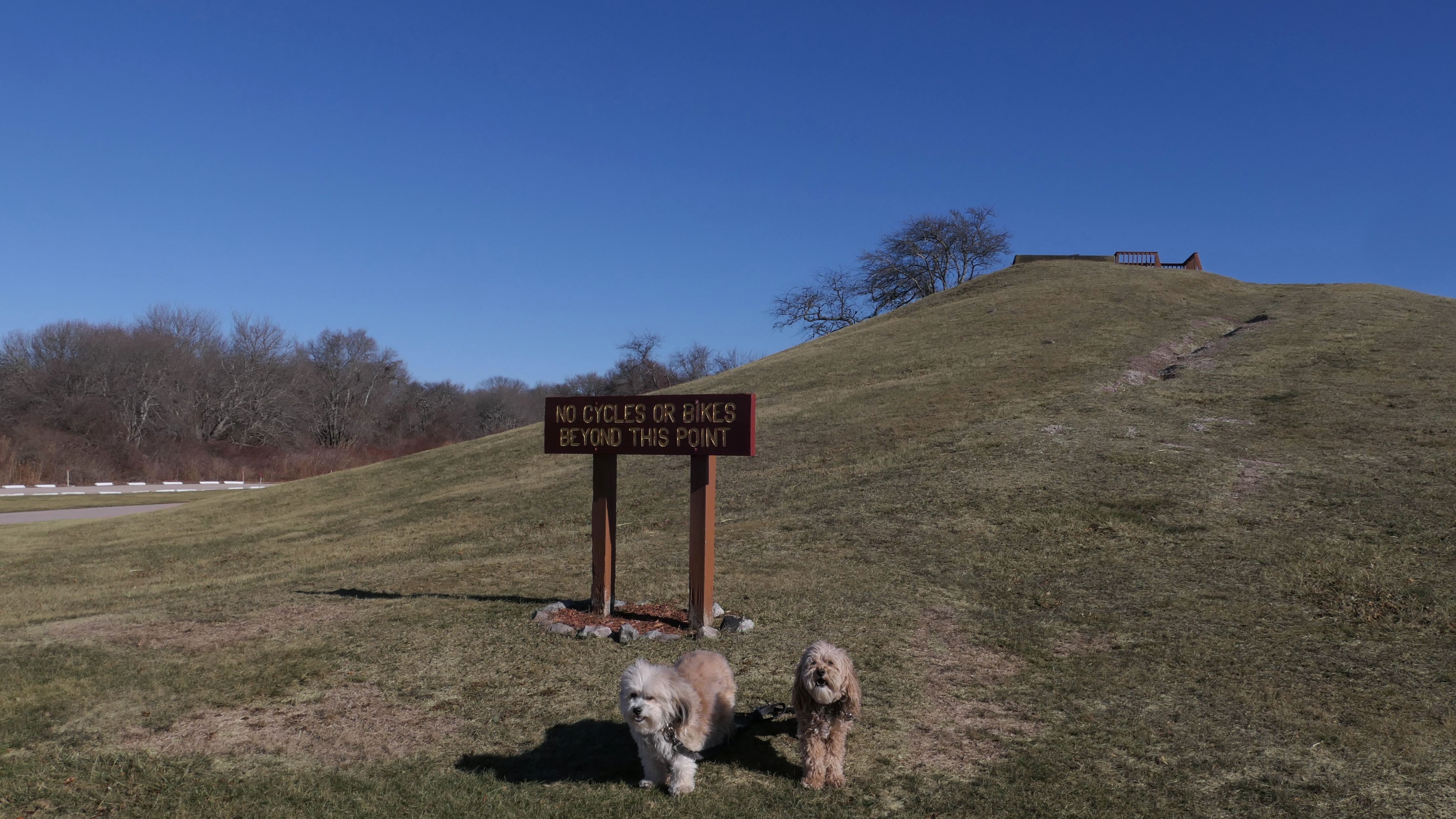
Black Point
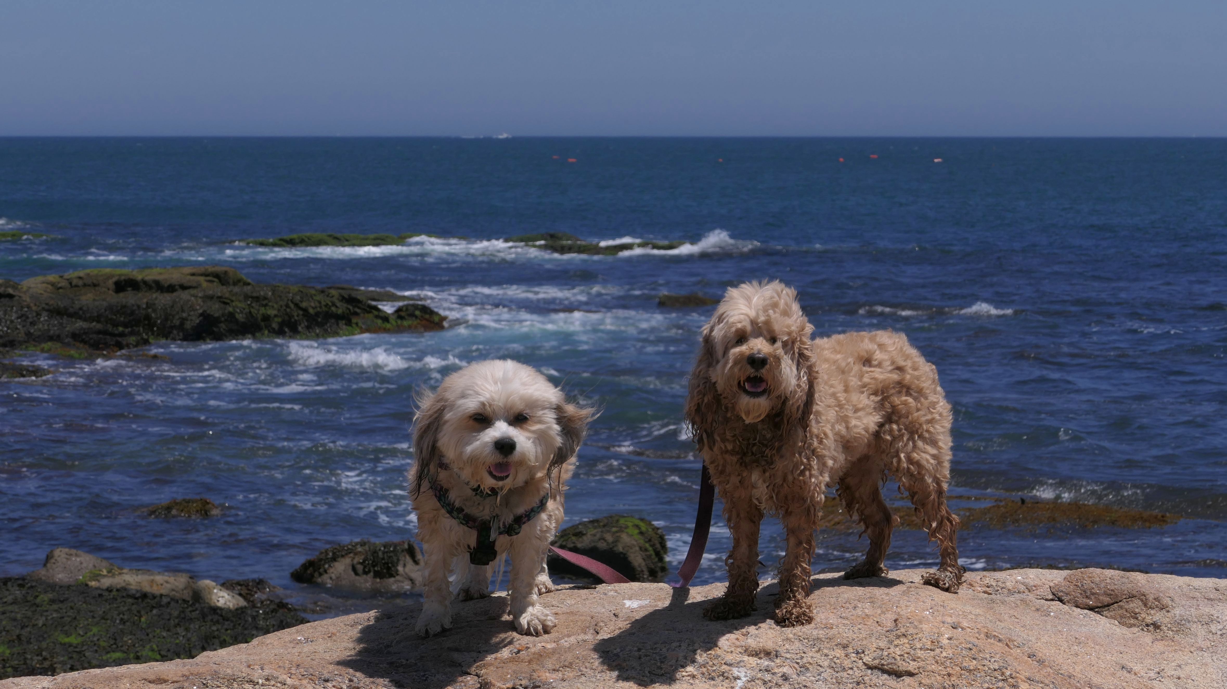
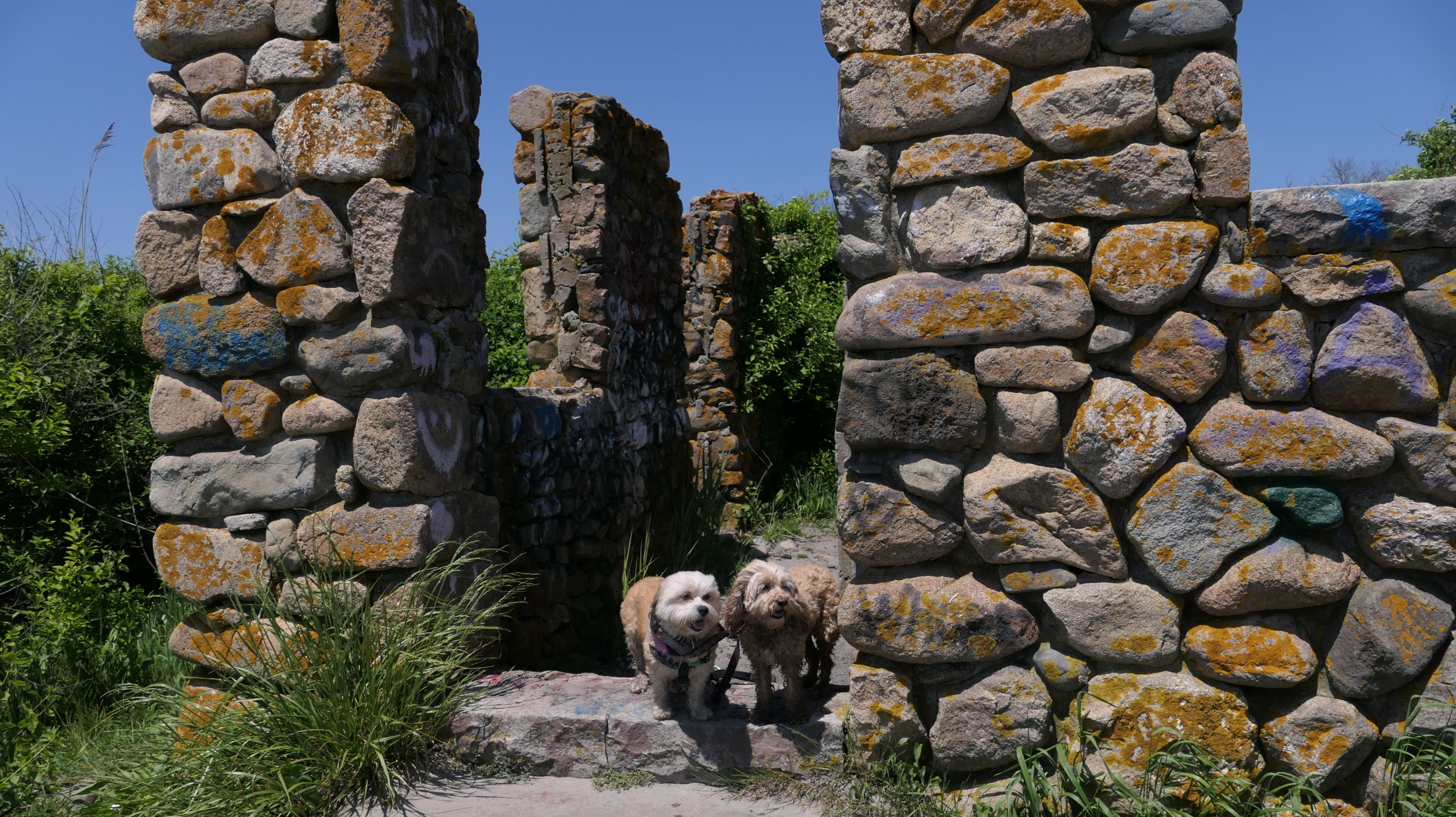
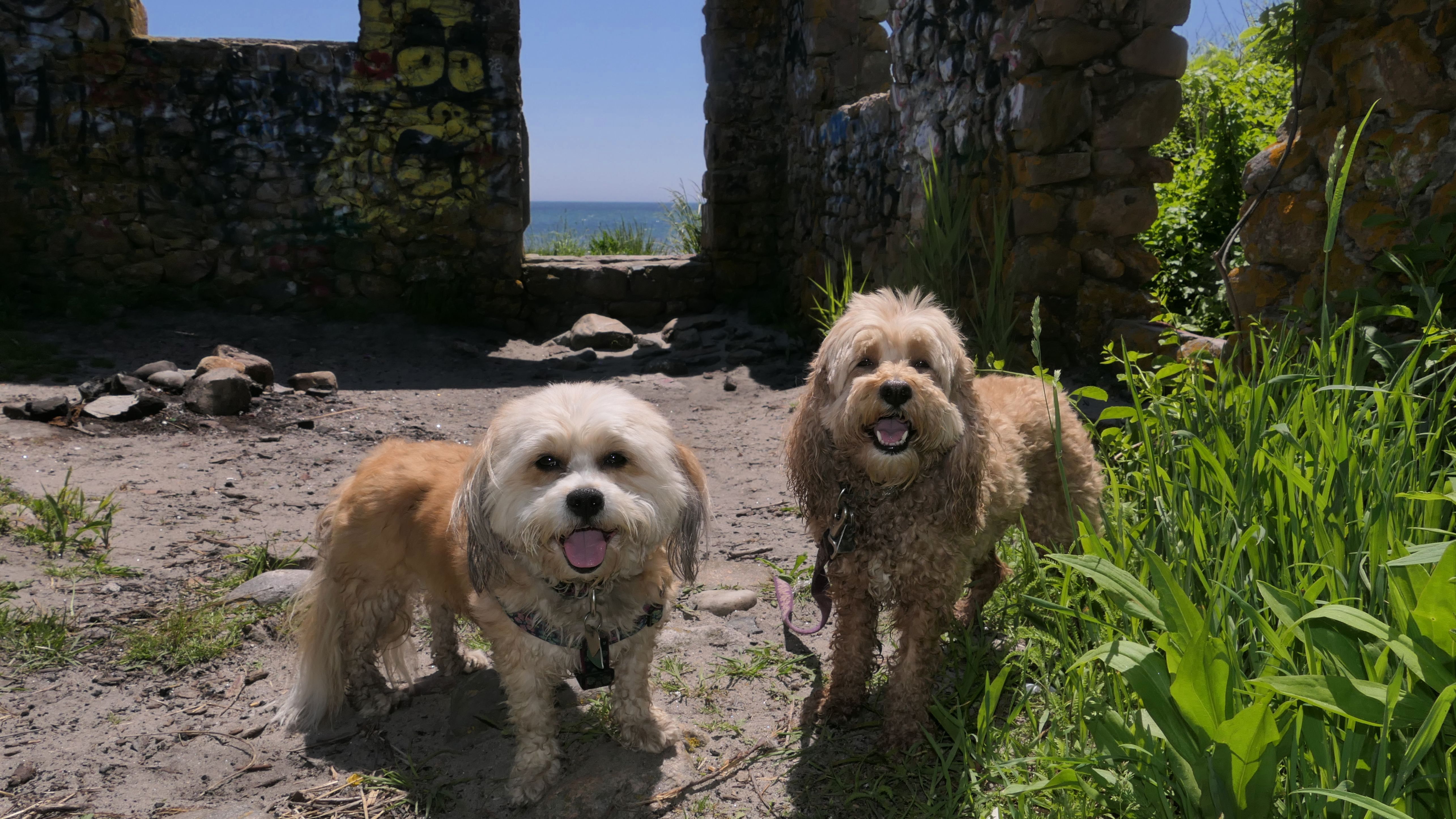
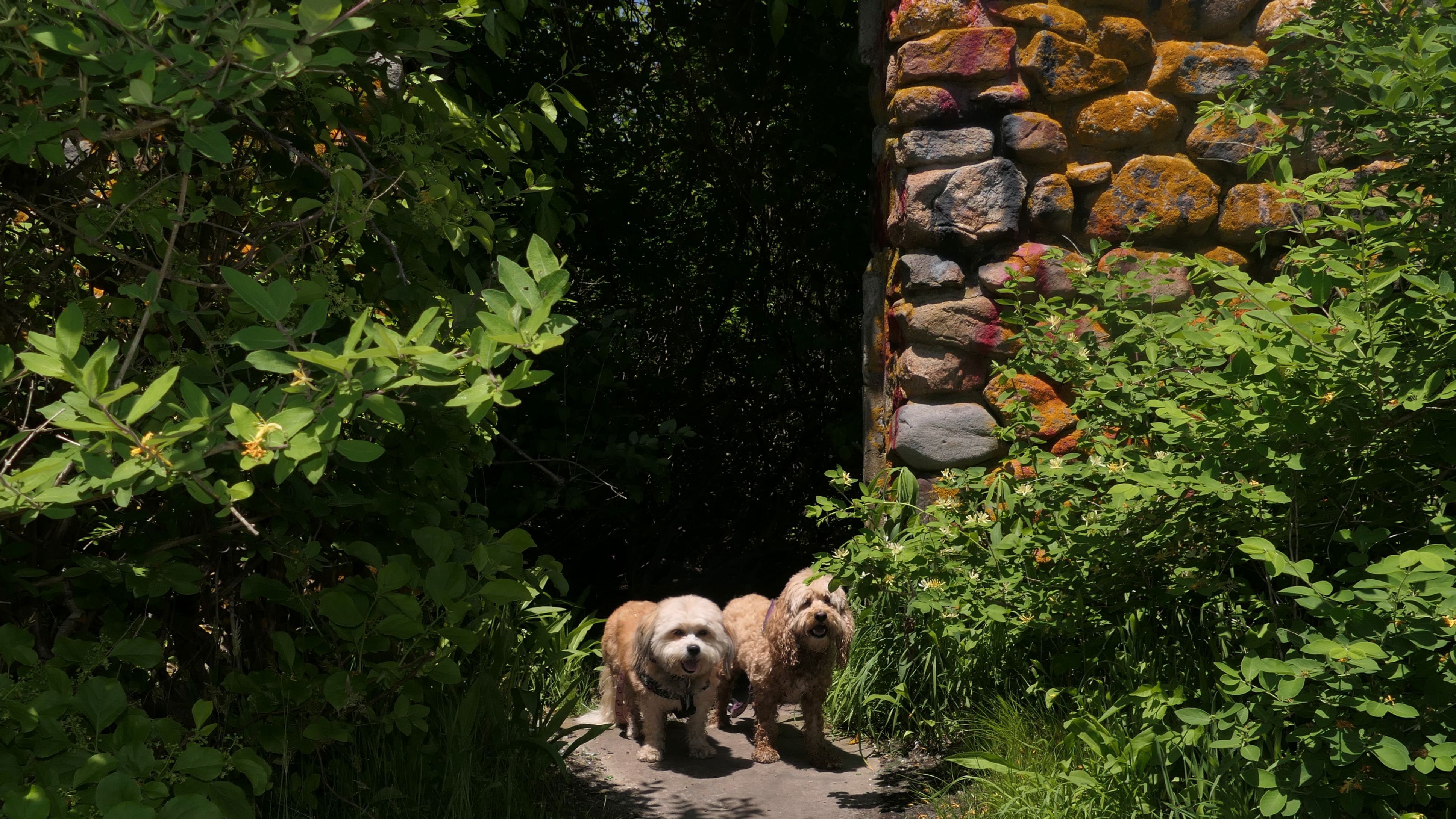
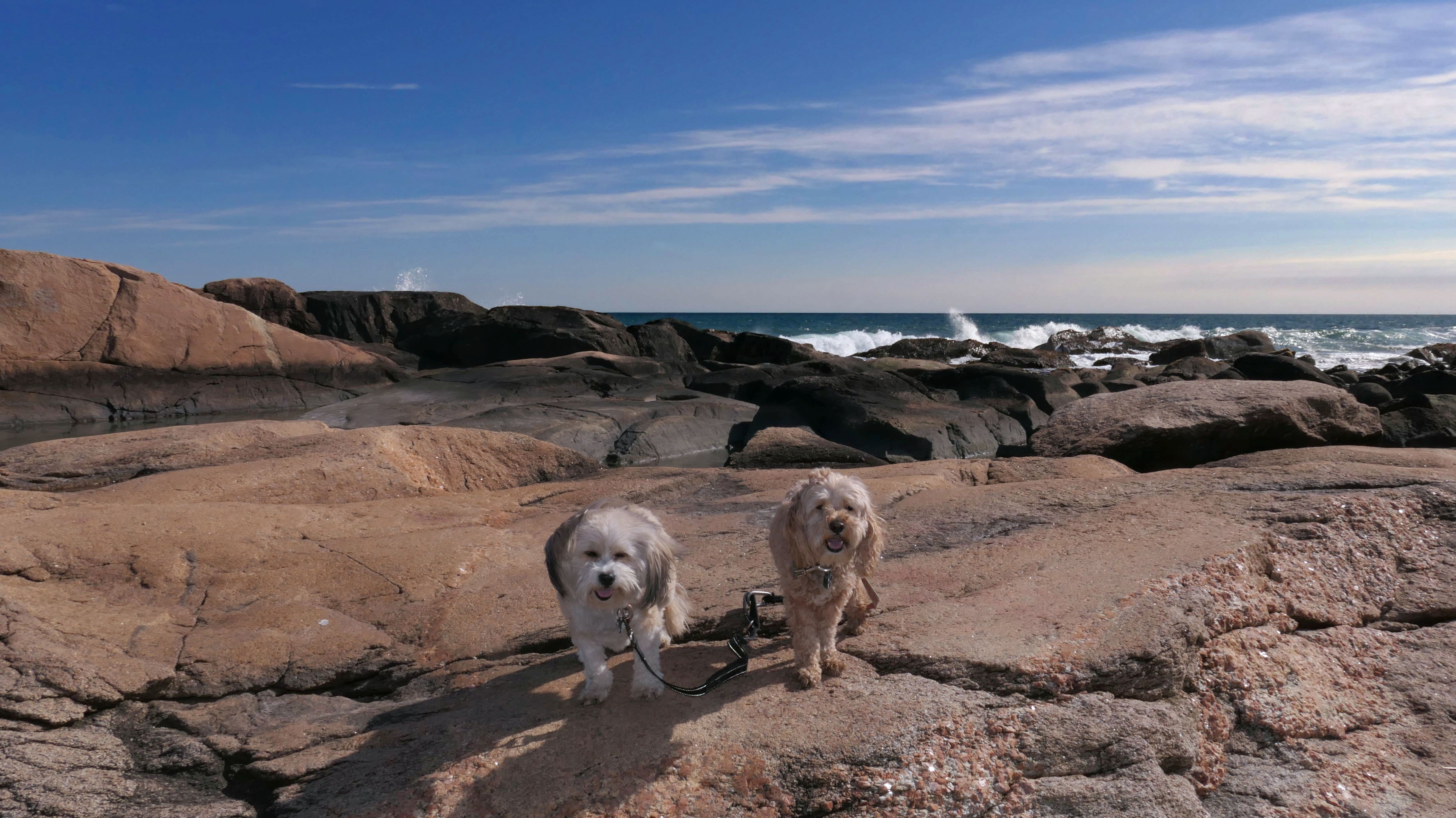
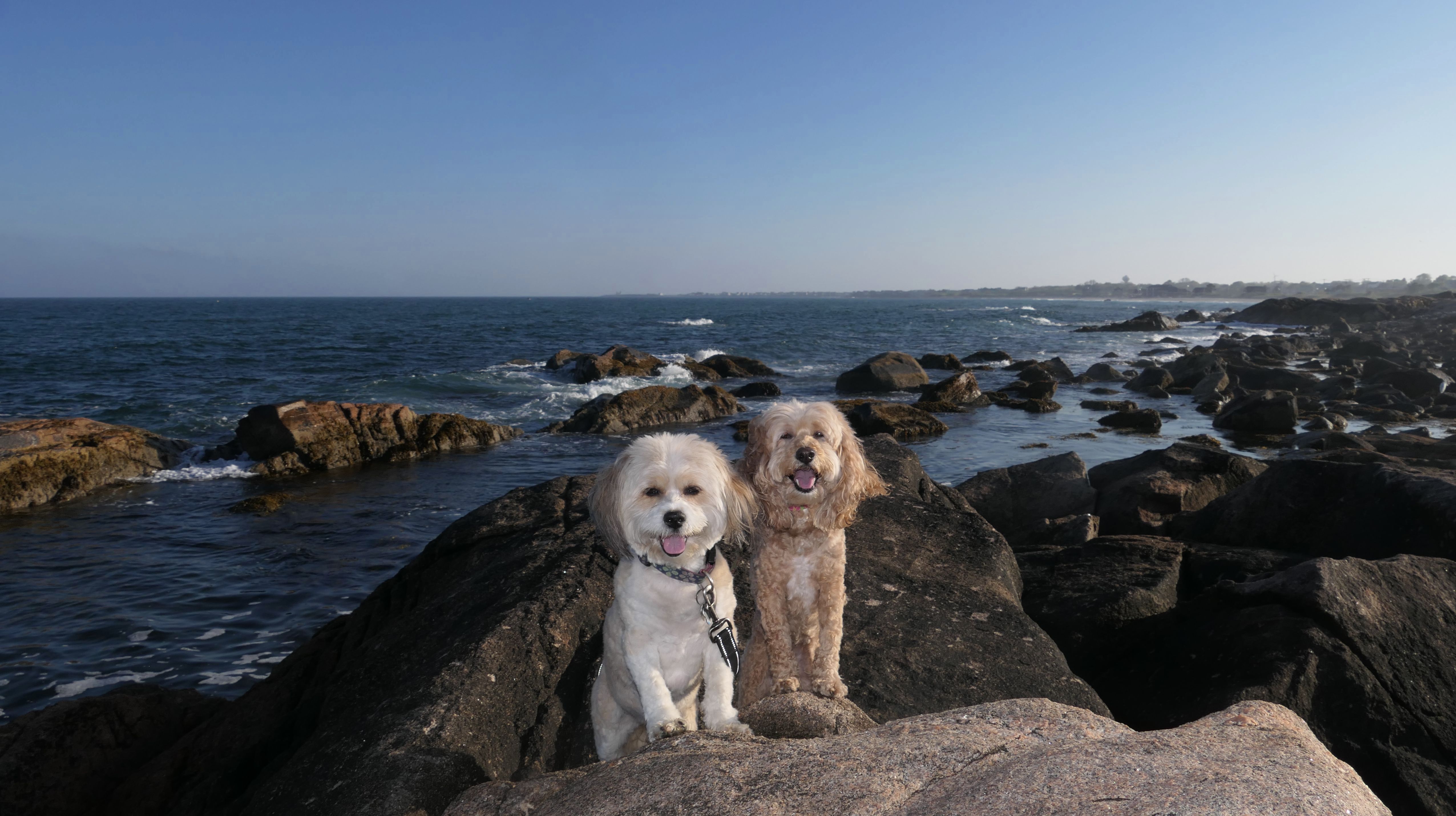
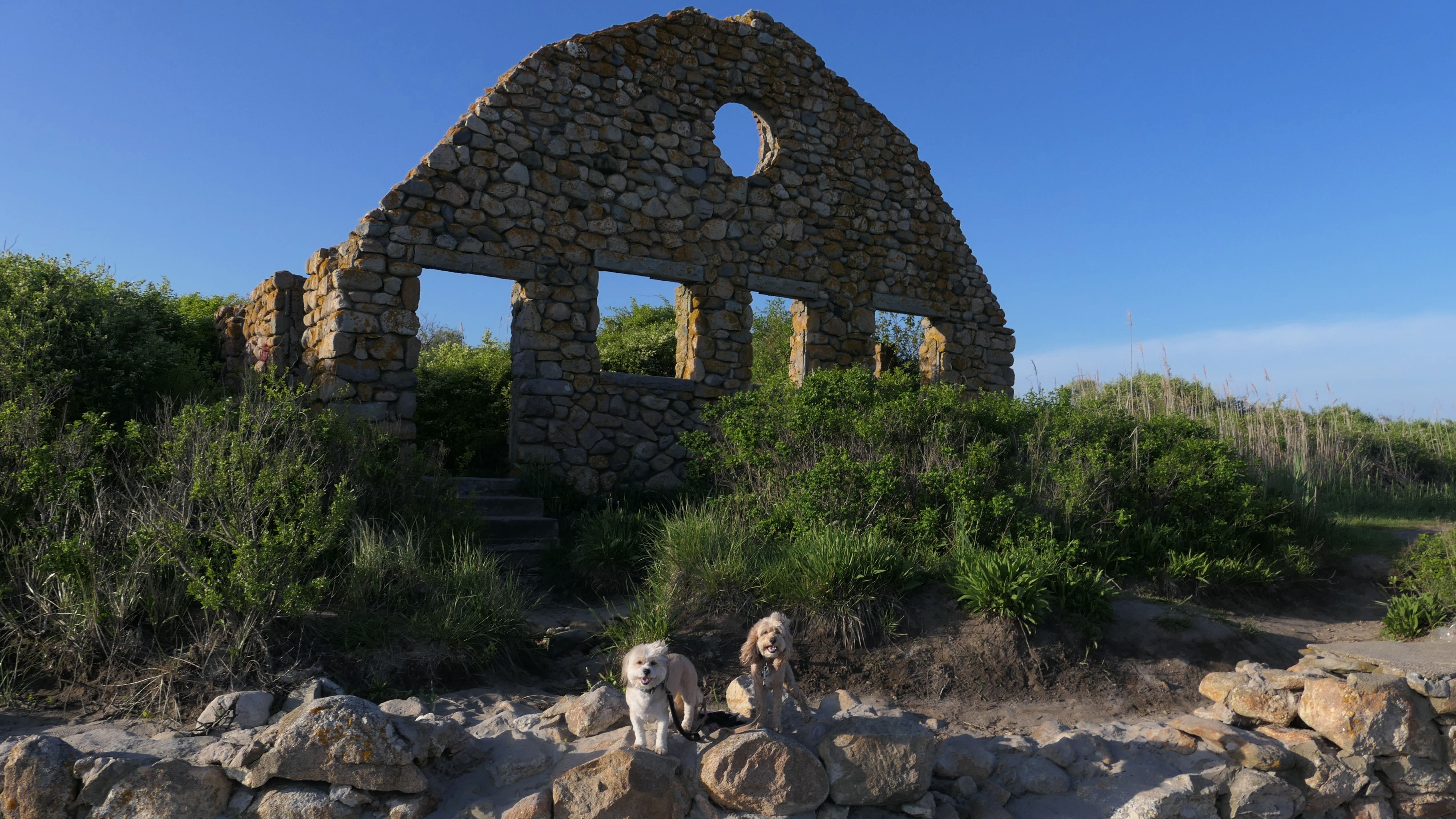
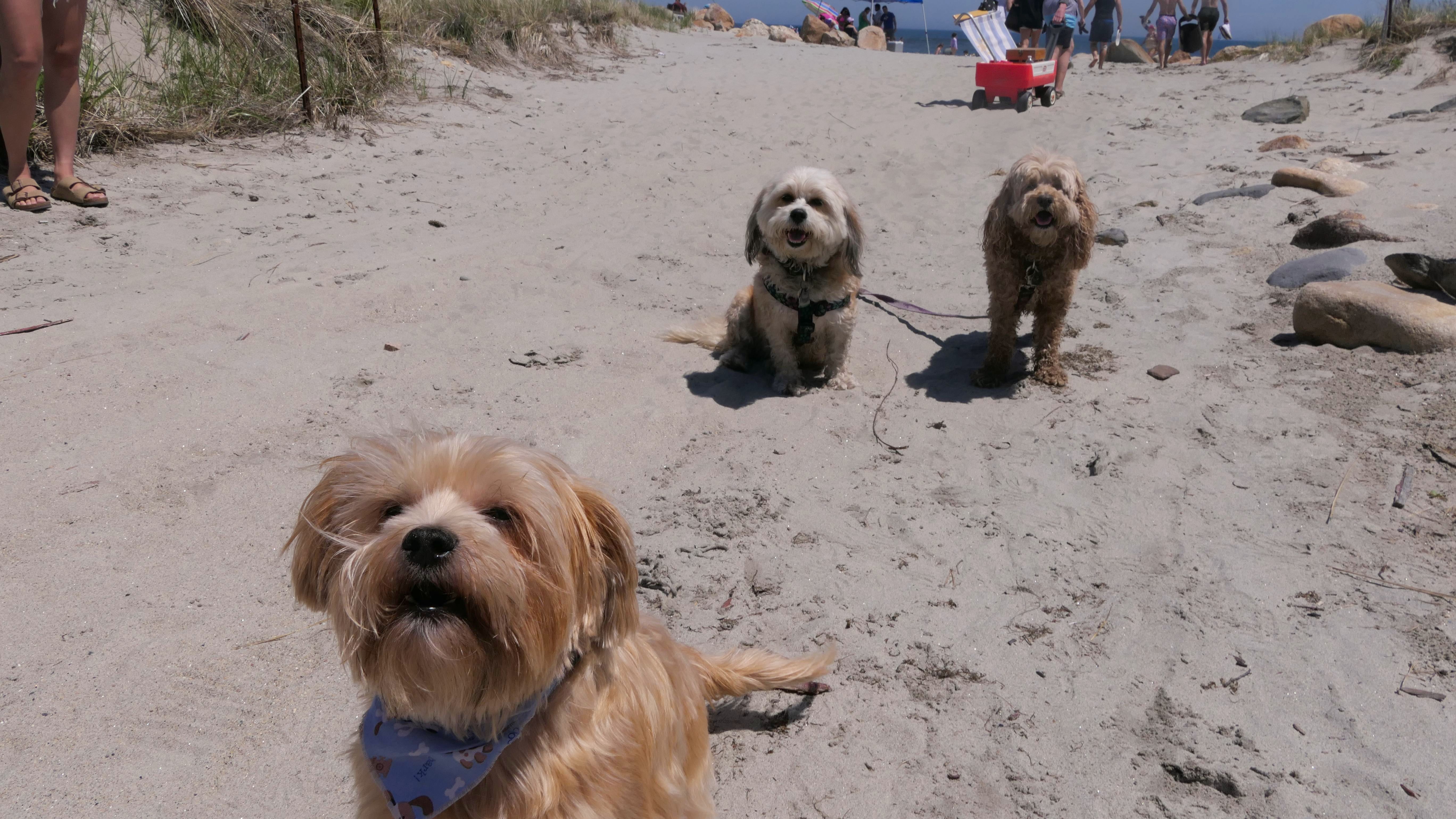
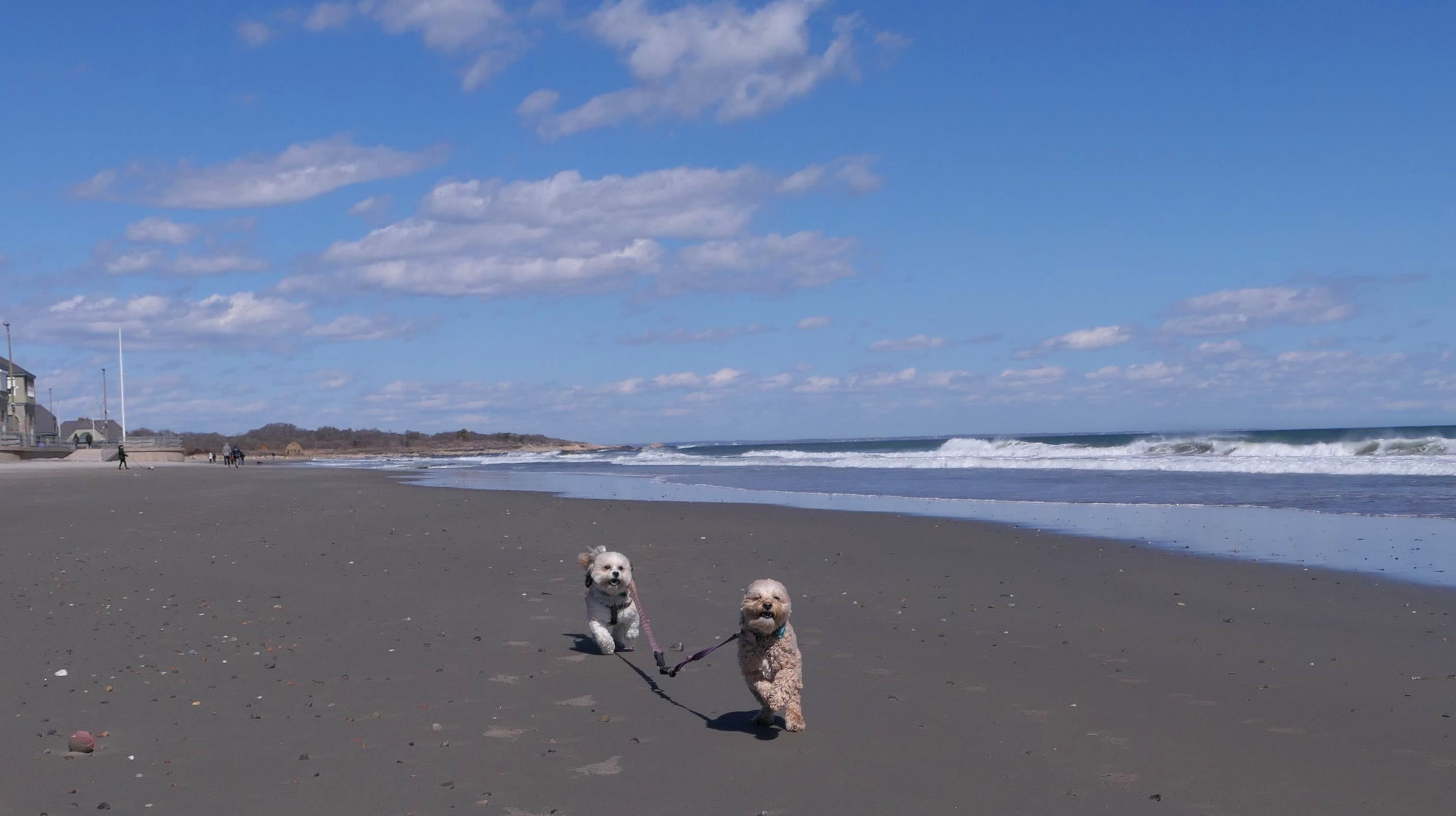
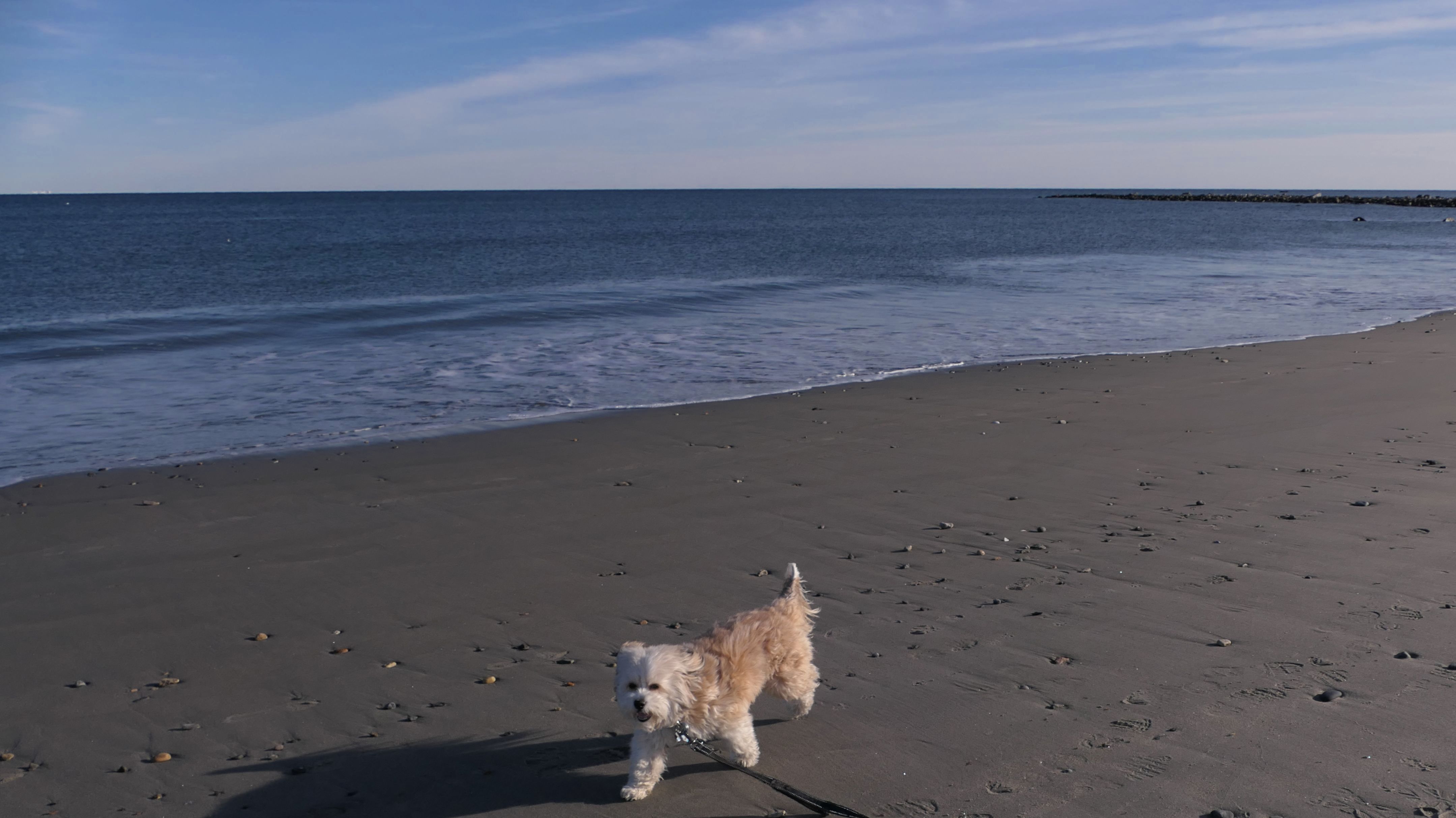
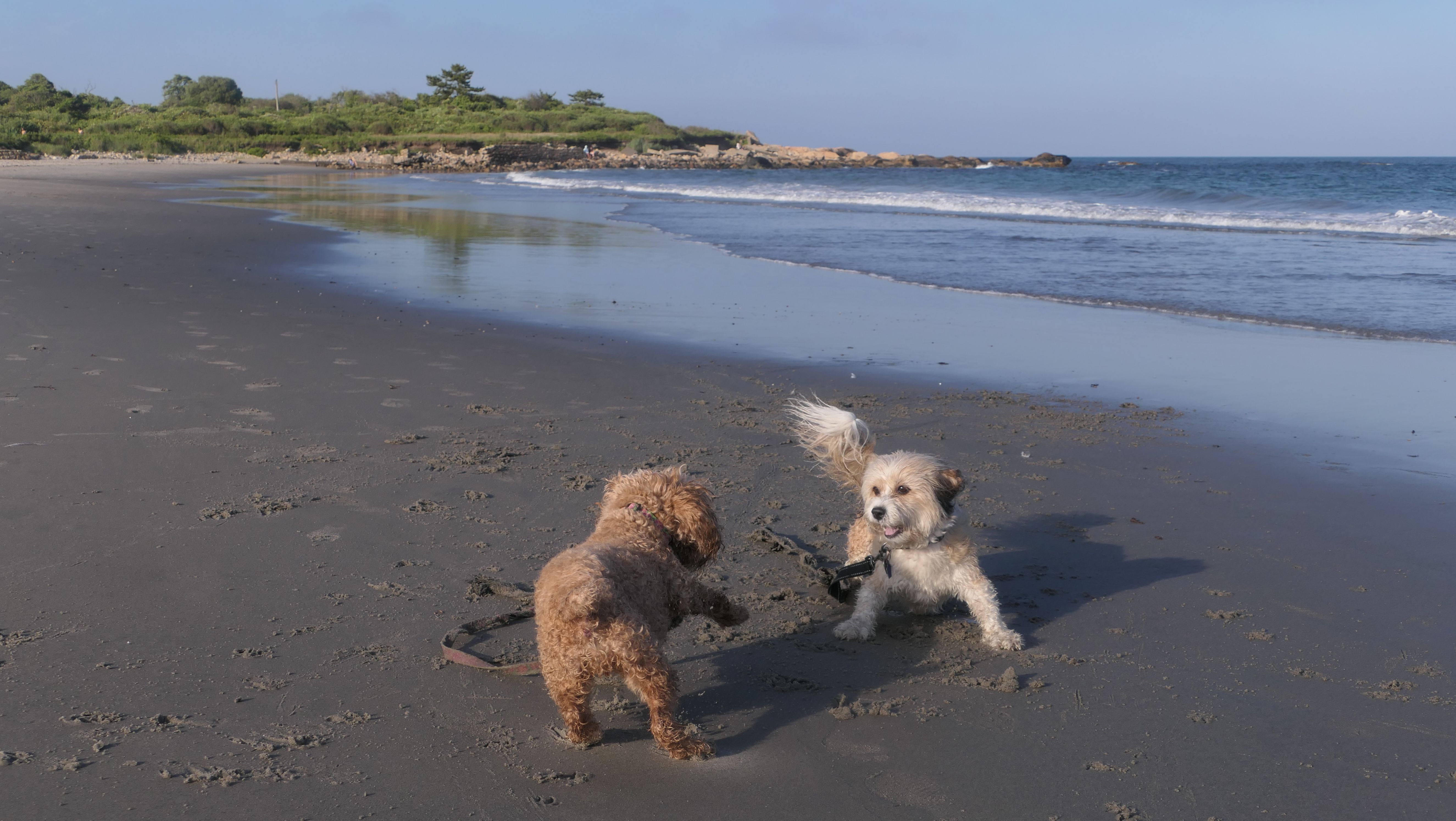
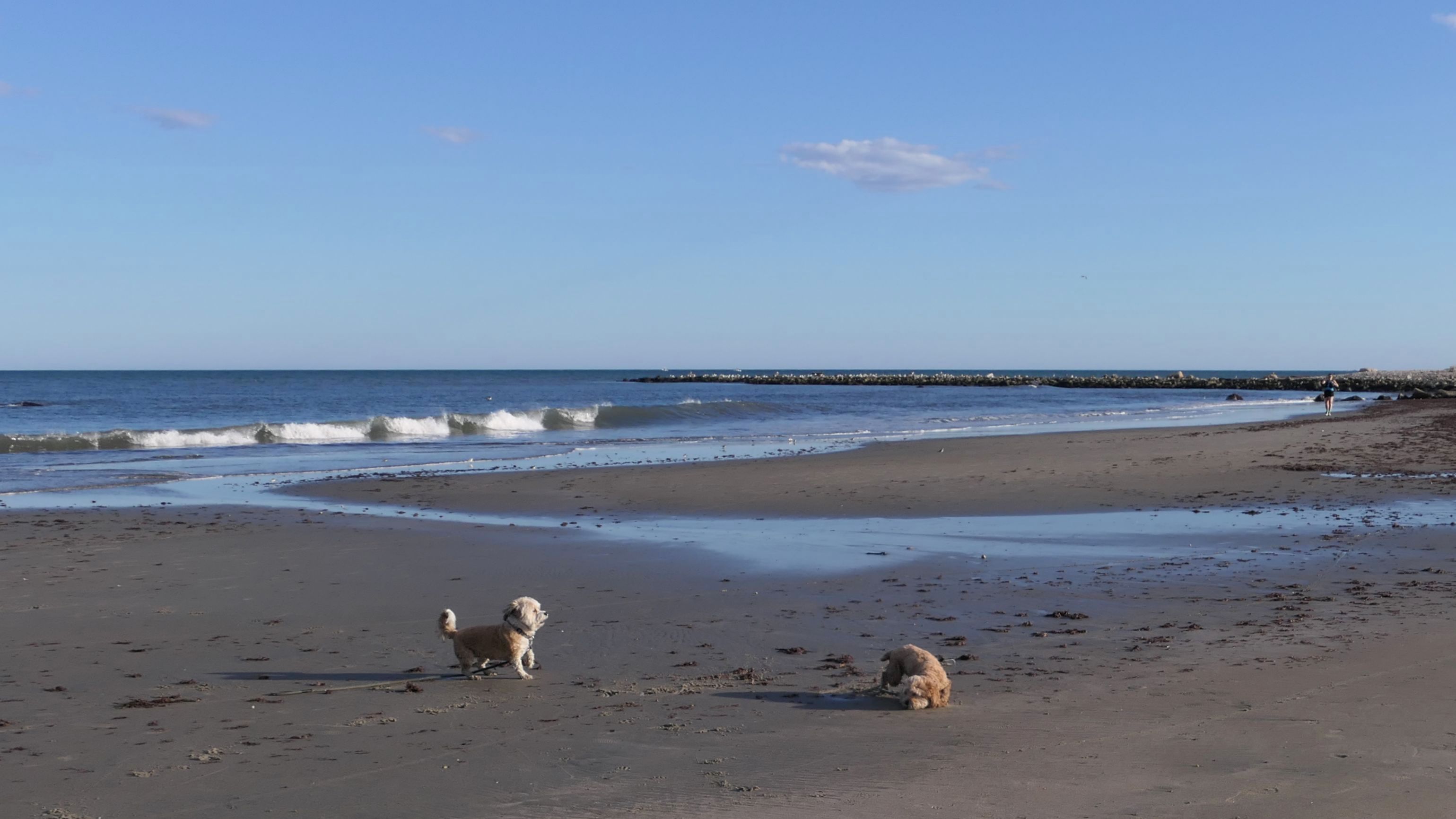
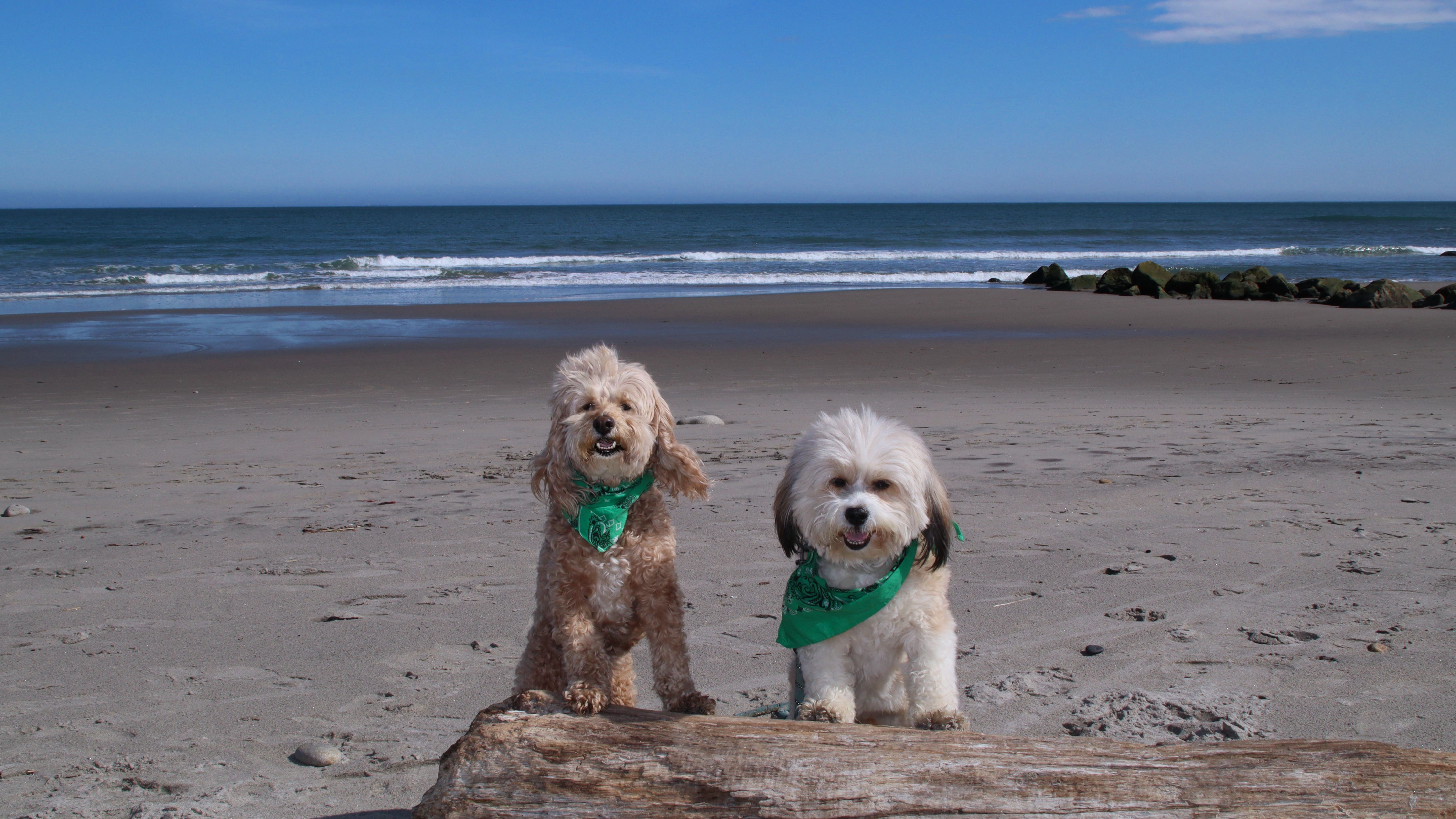
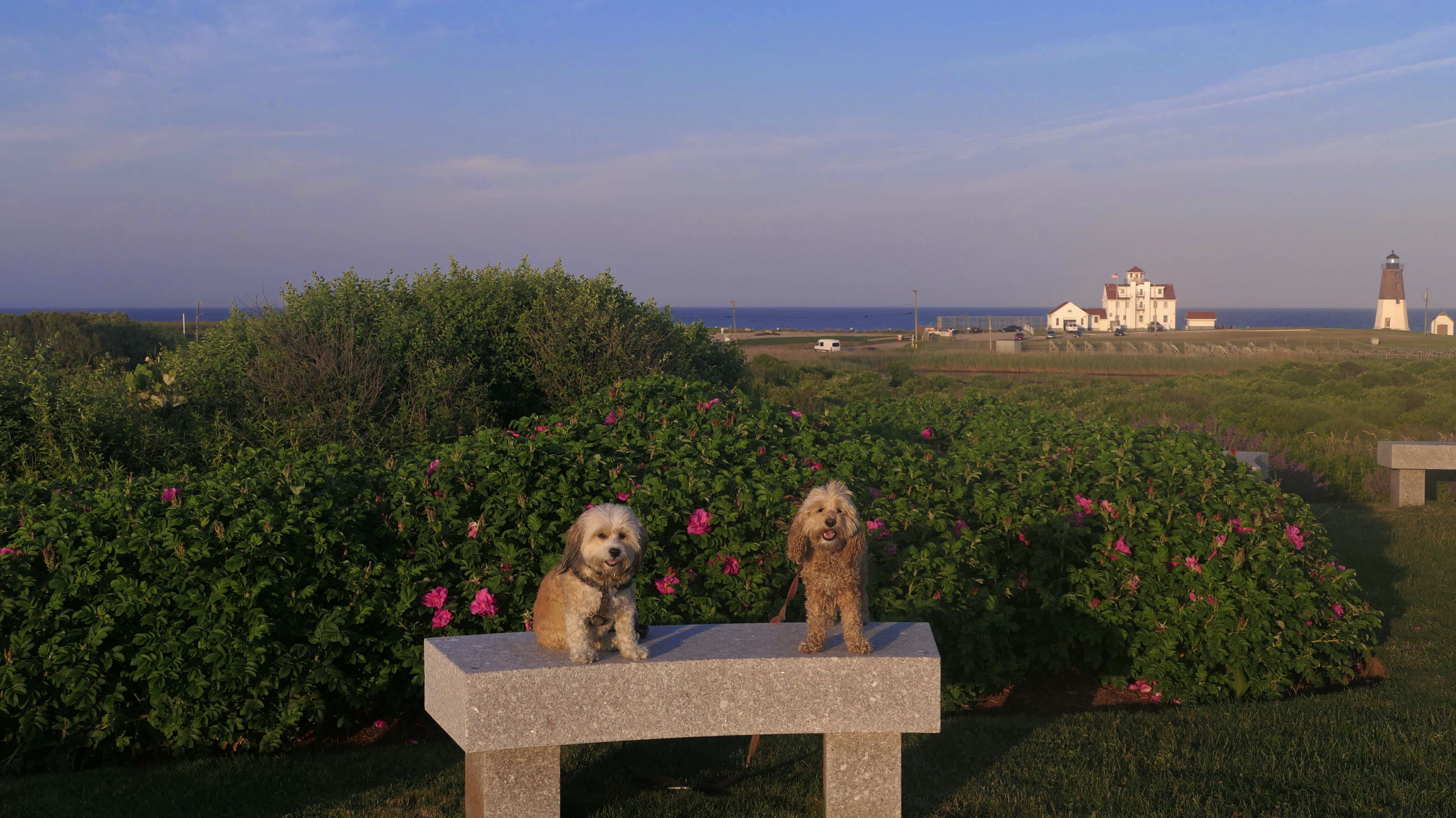
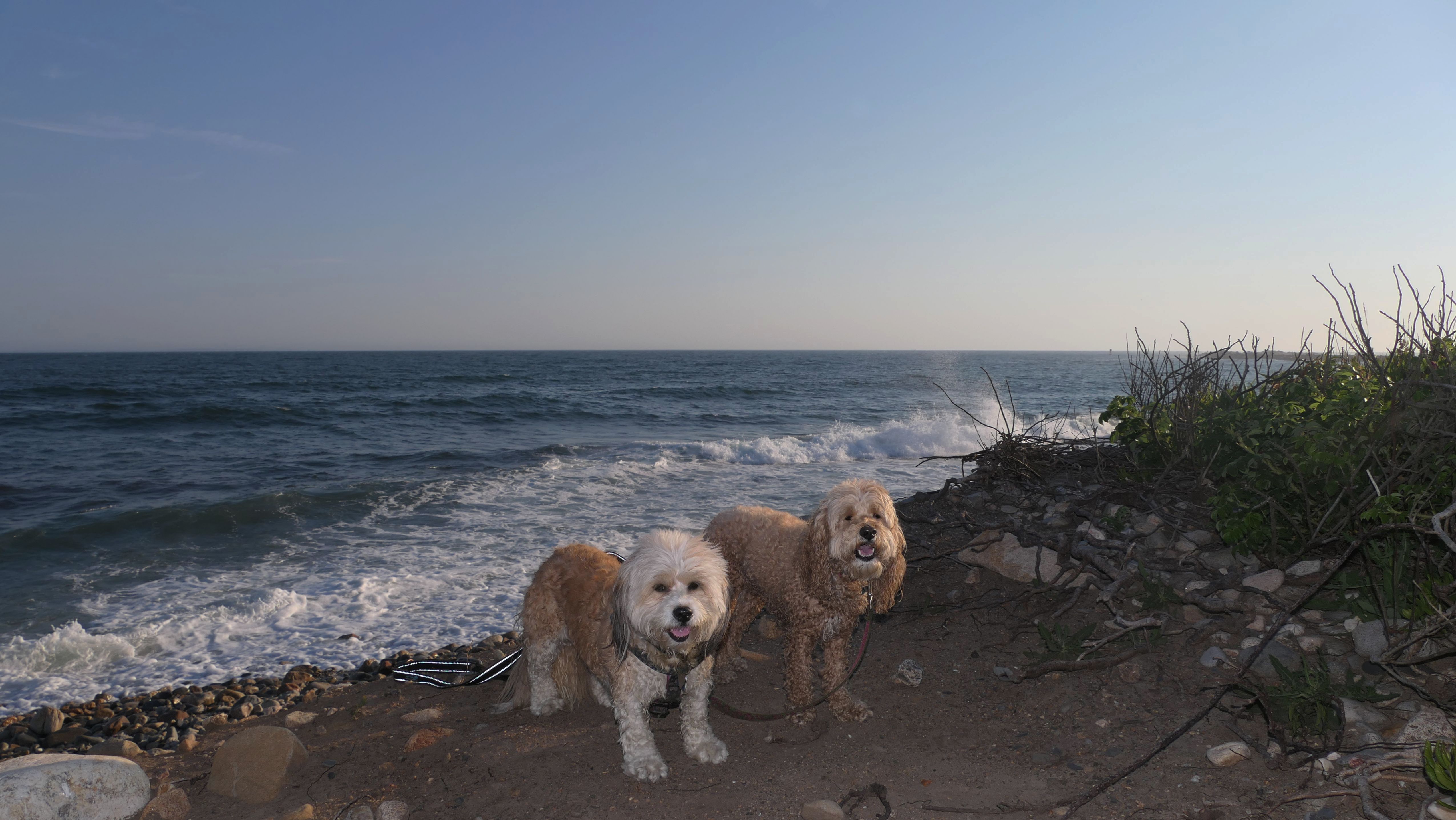
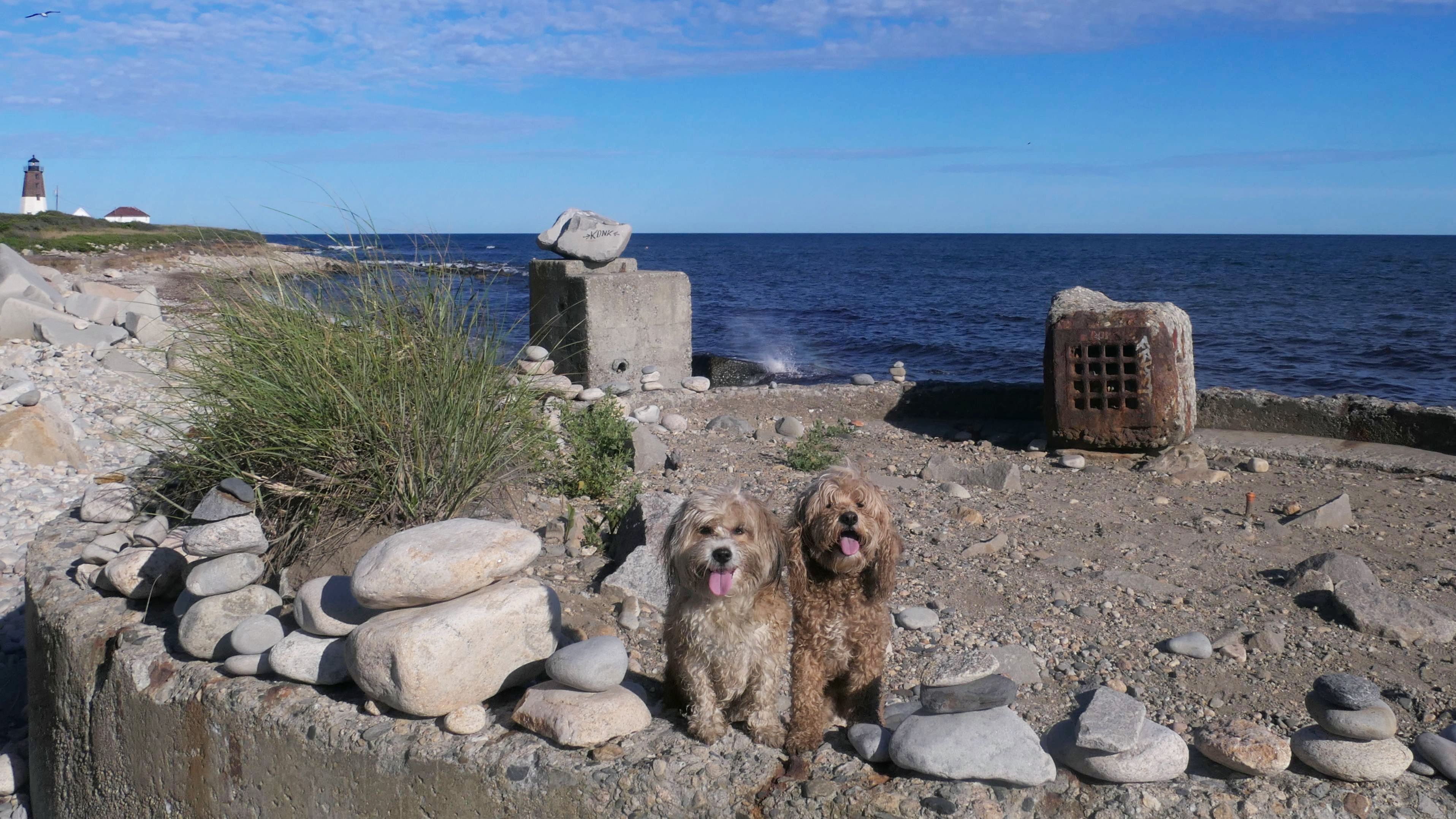
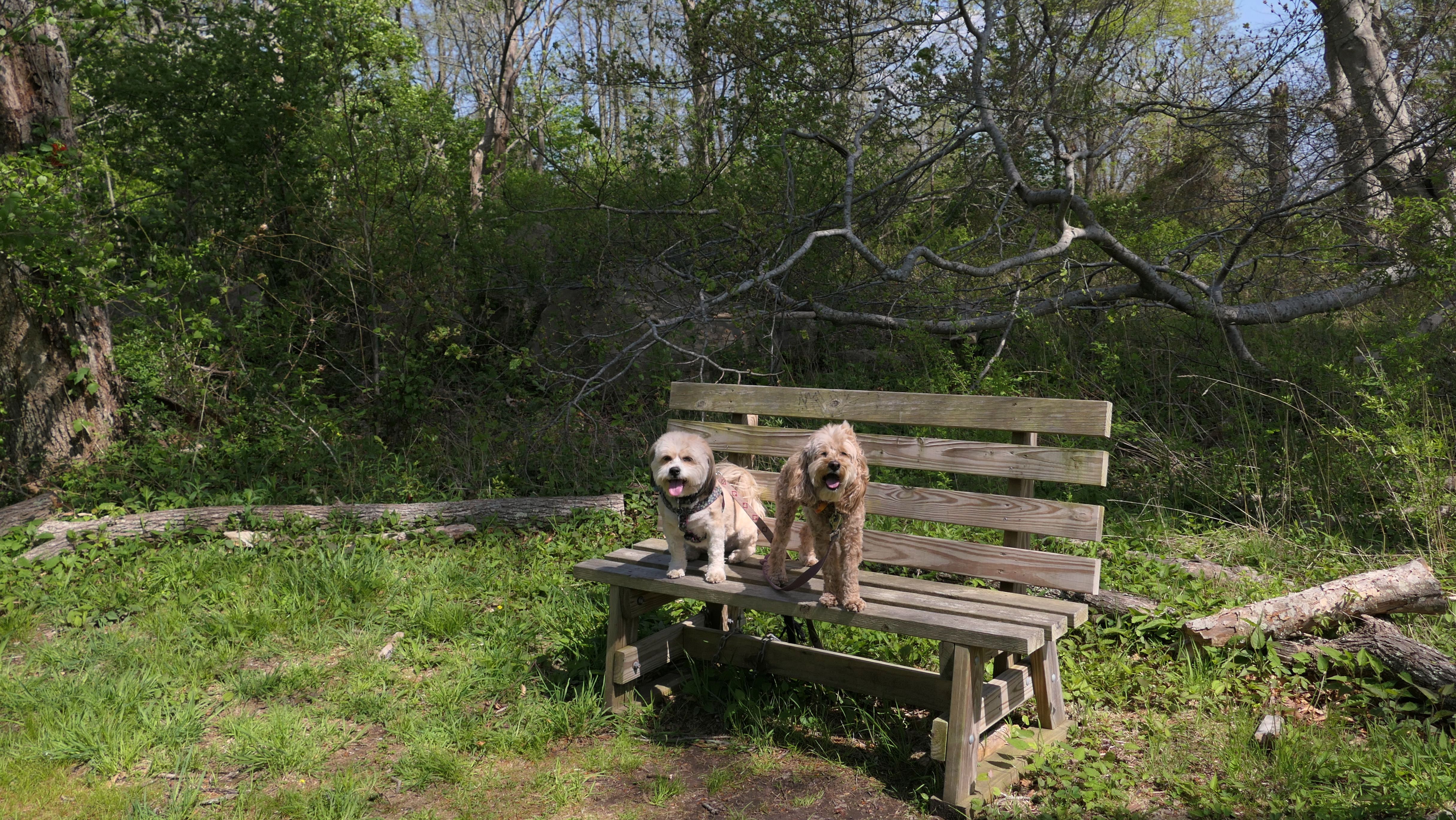
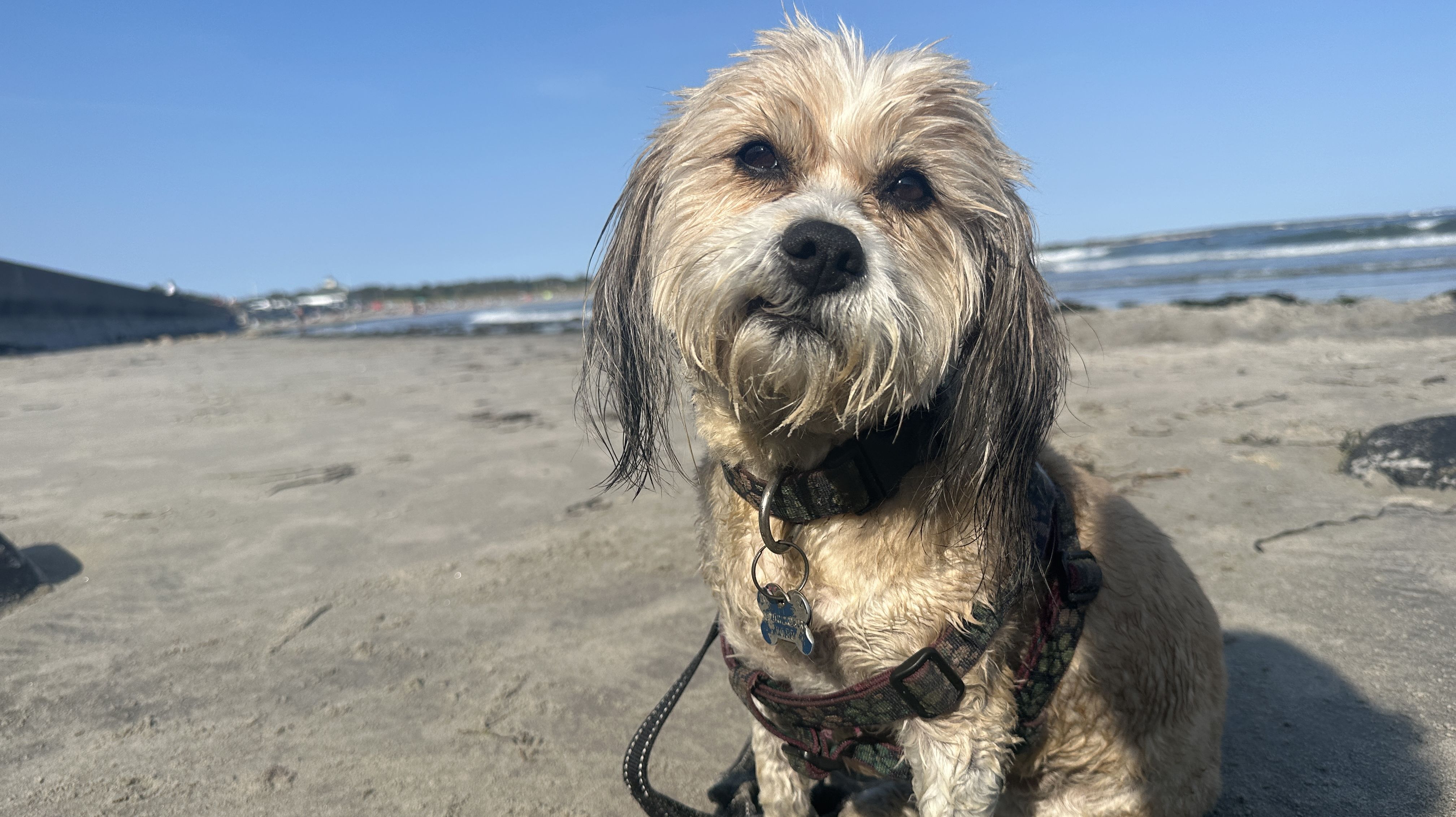
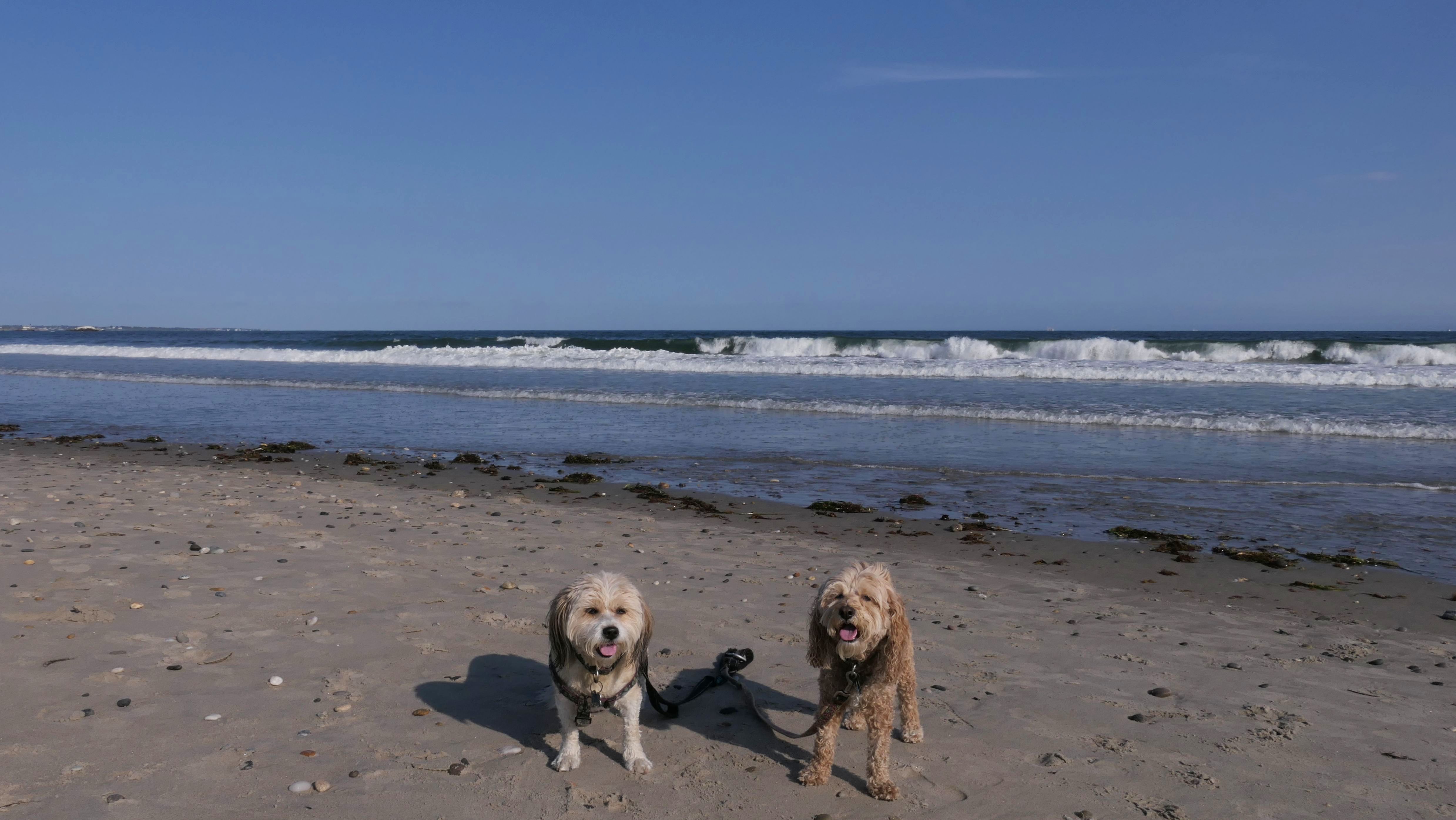
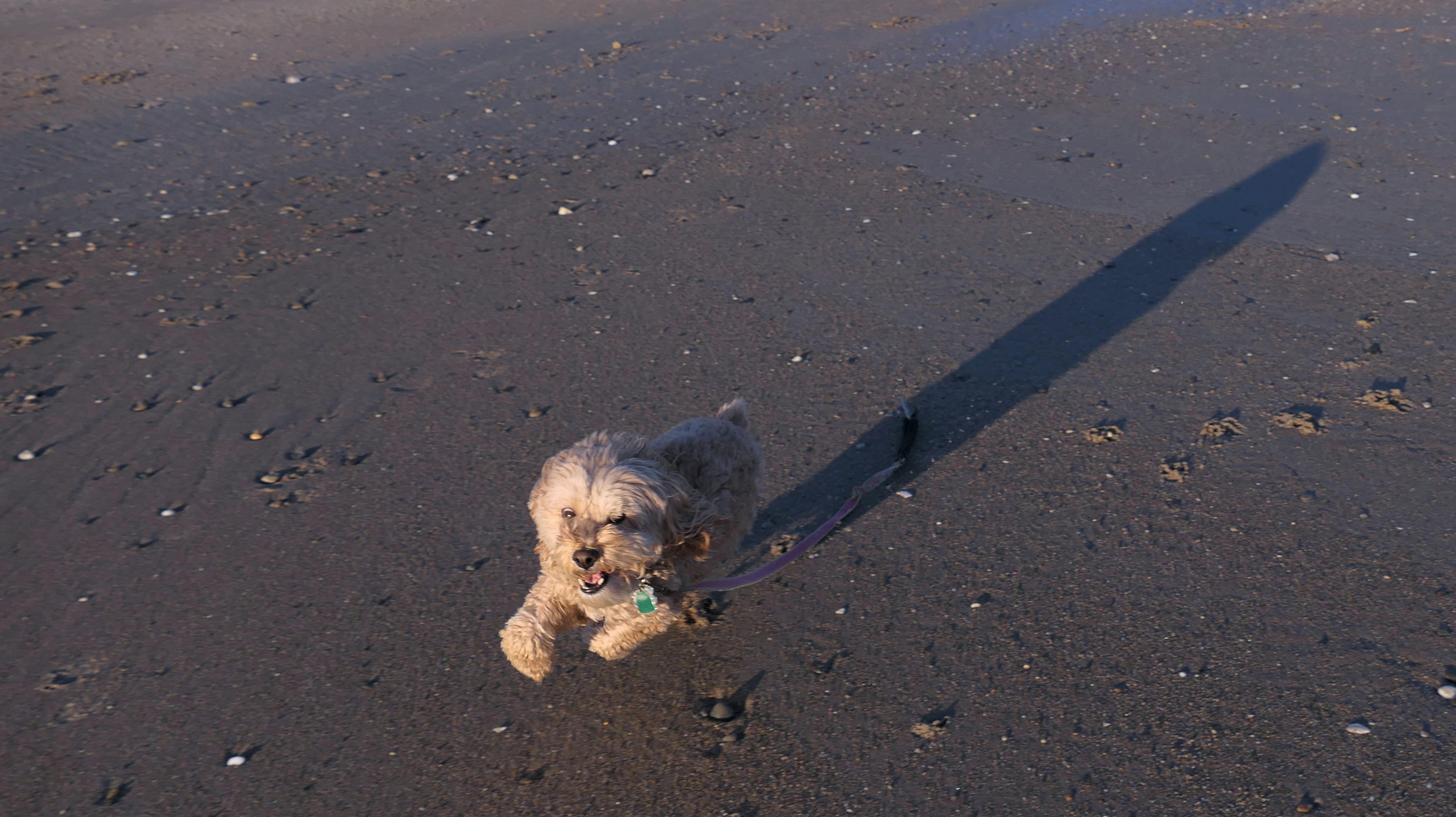
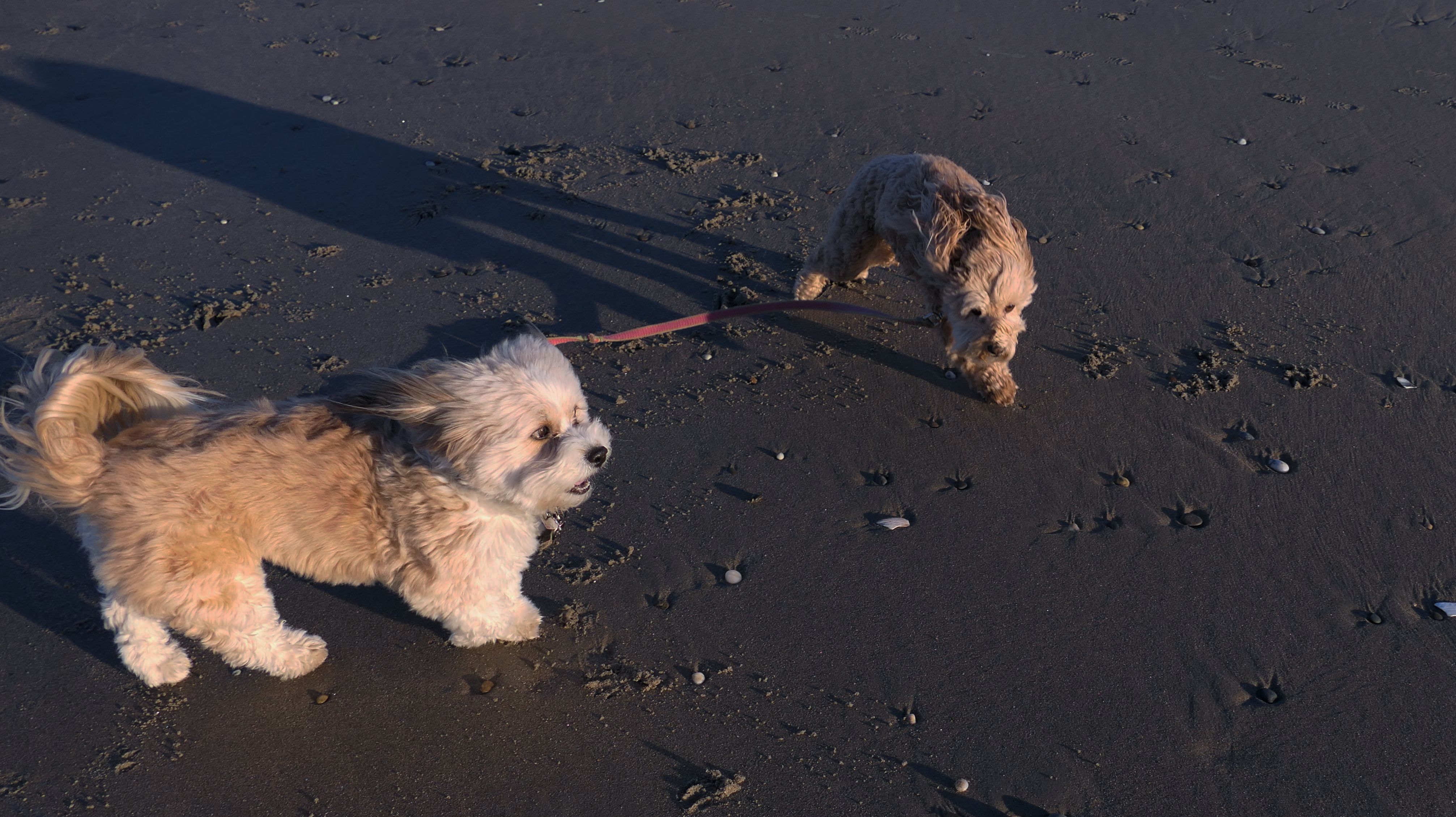
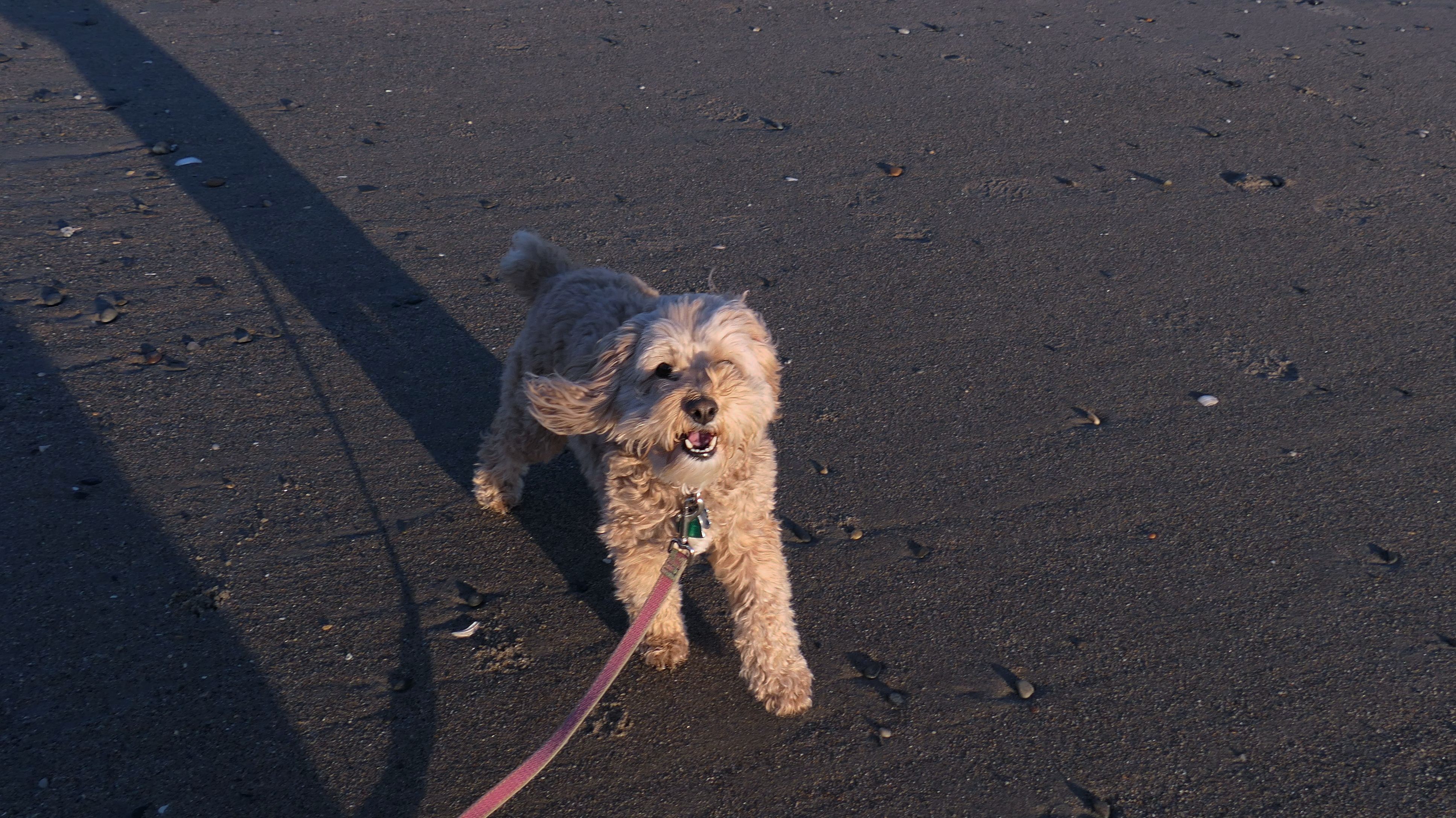
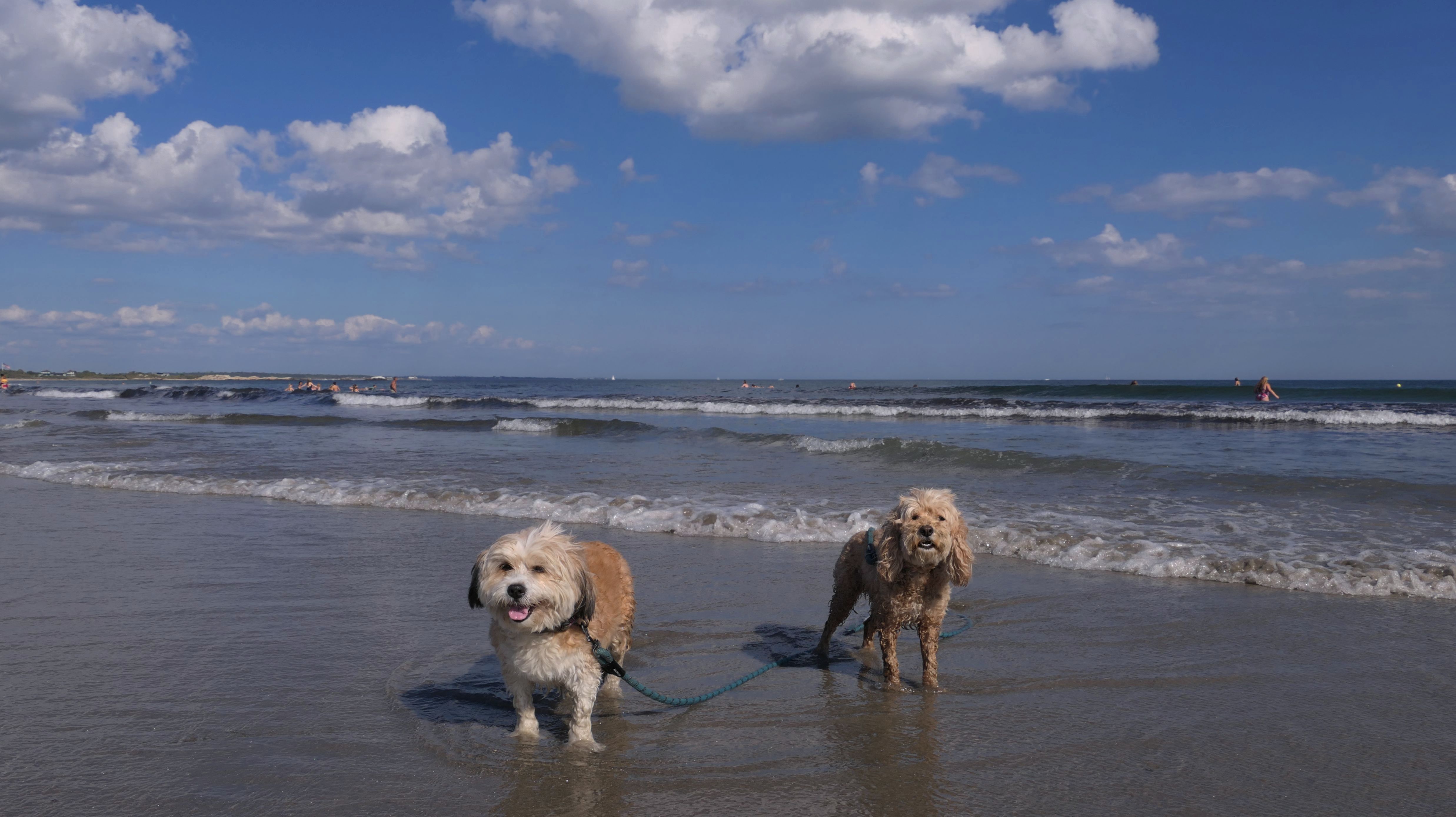
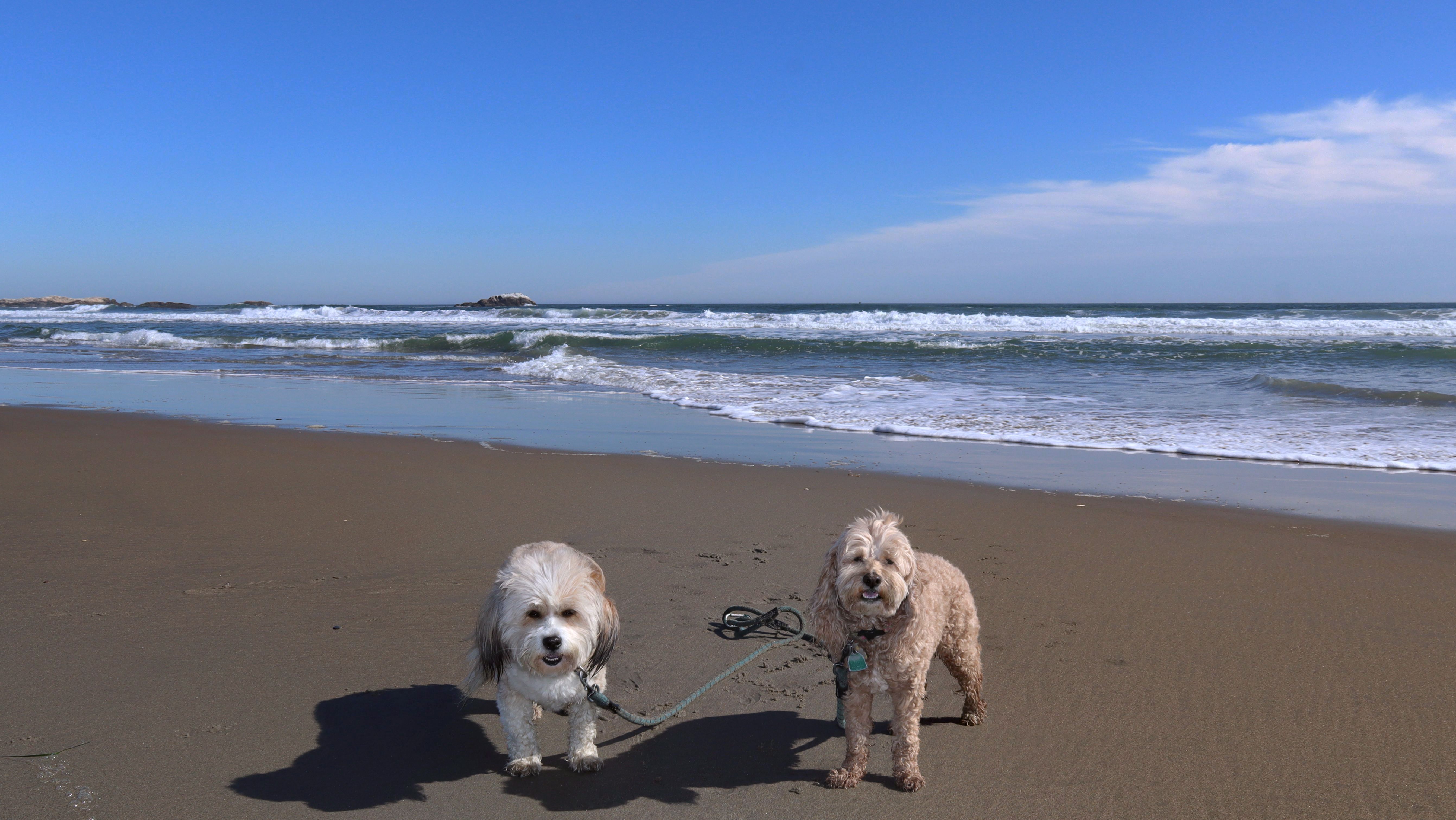
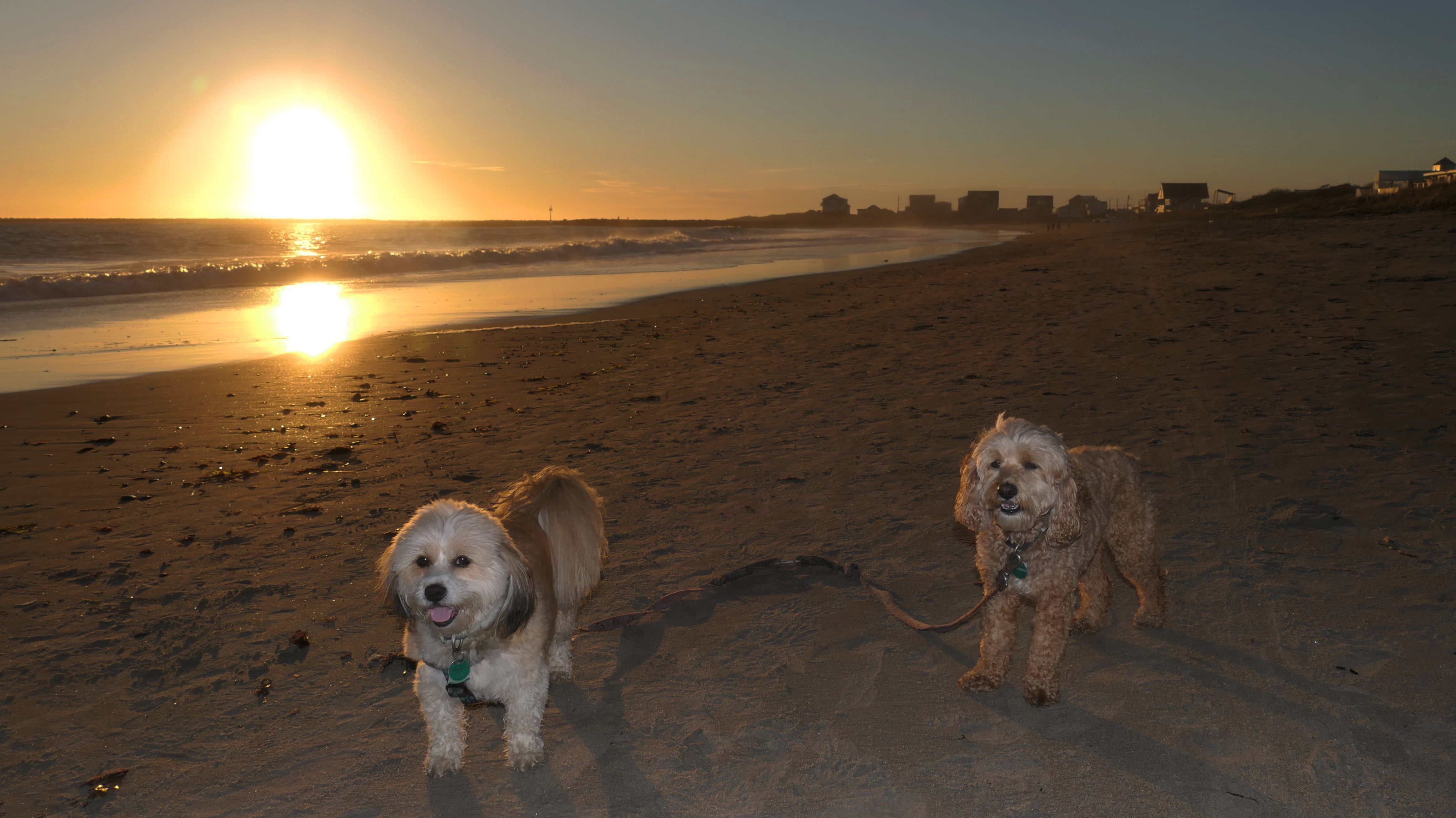
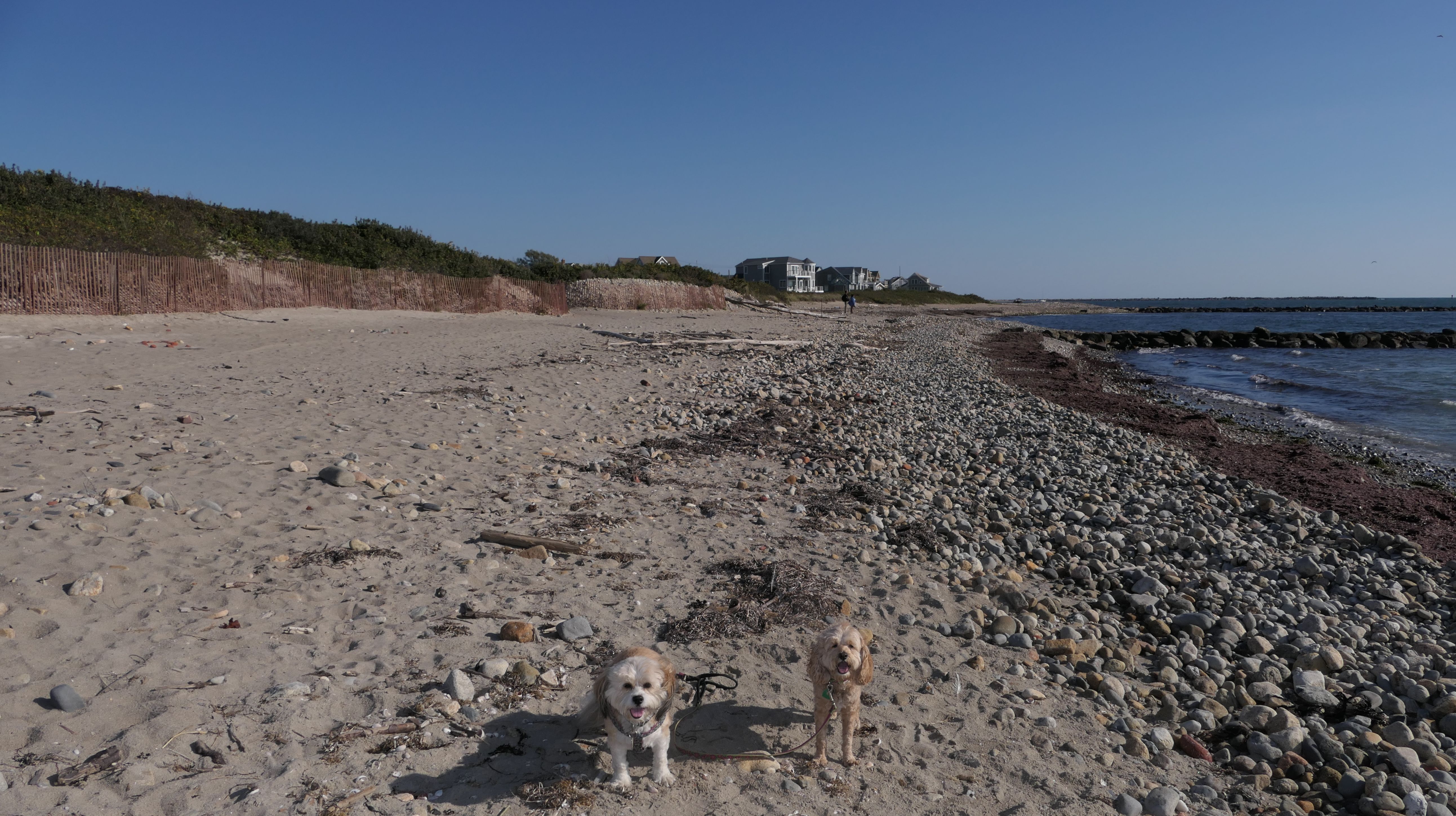
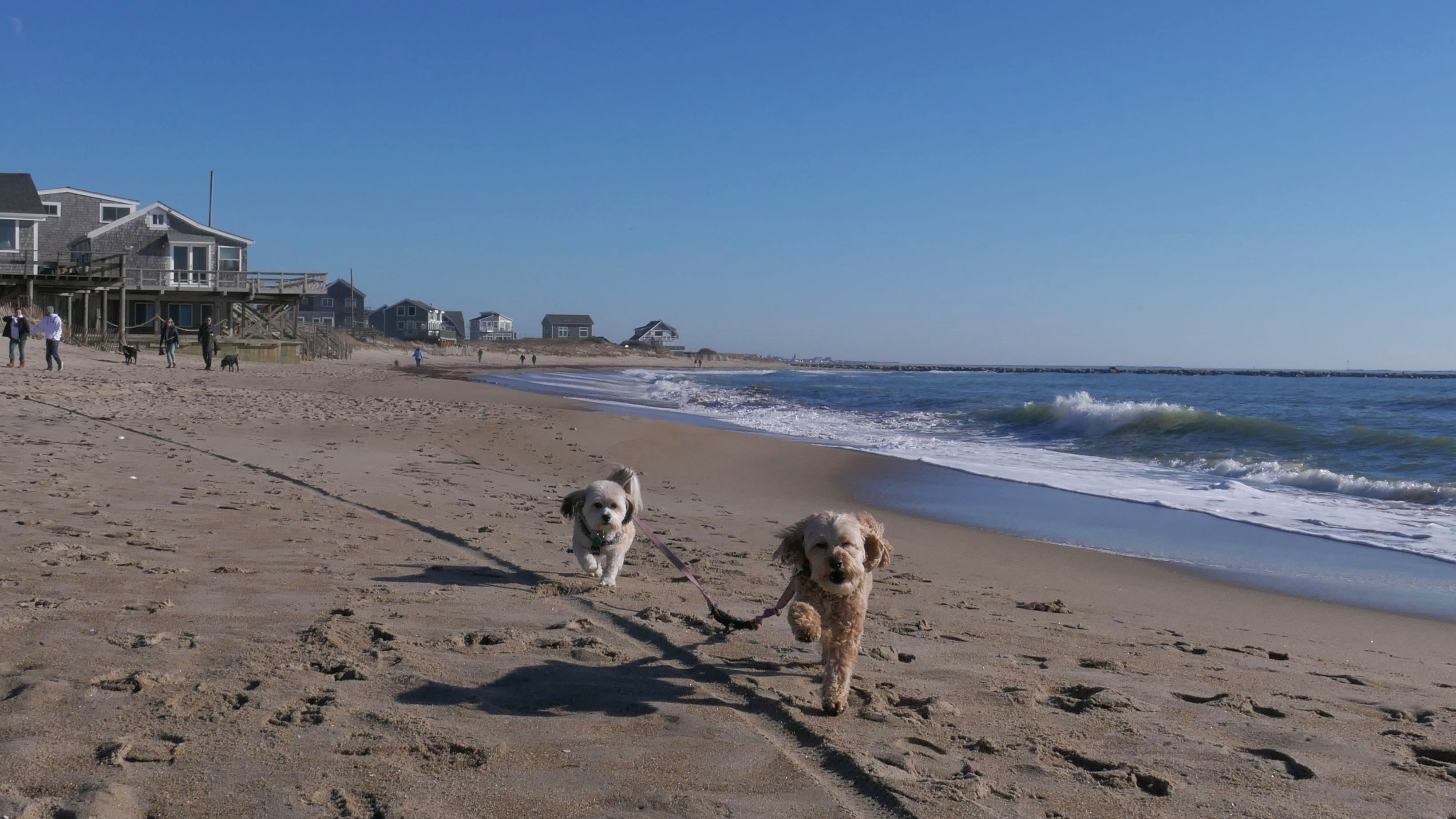
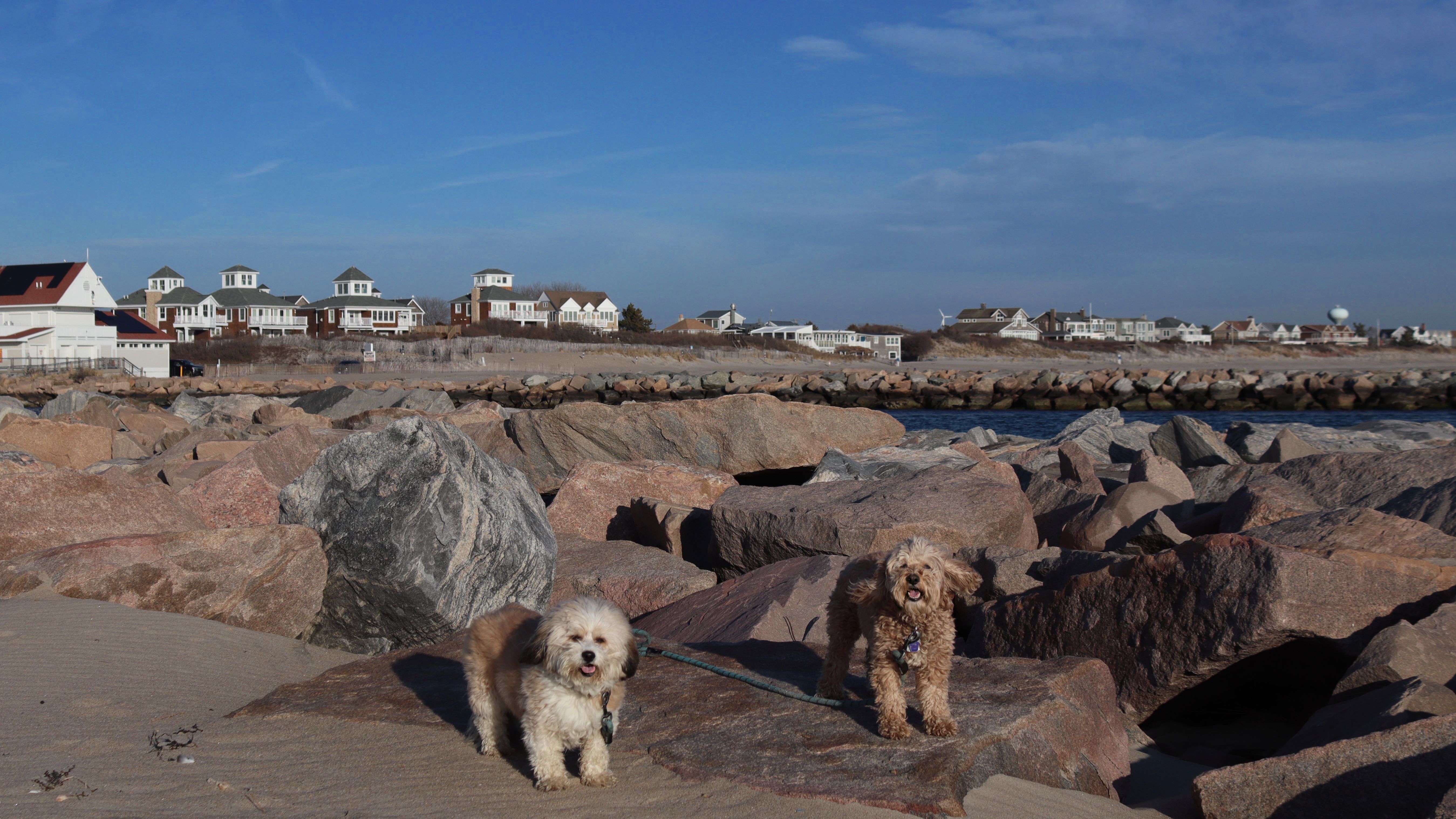
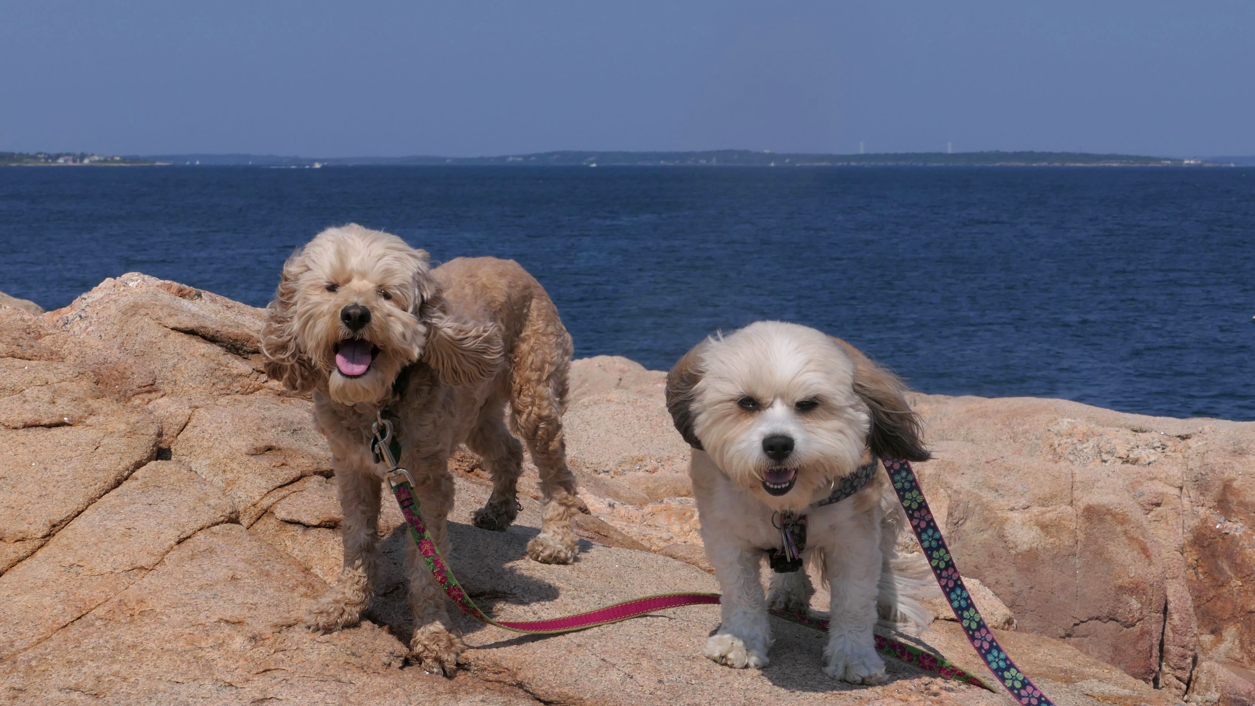
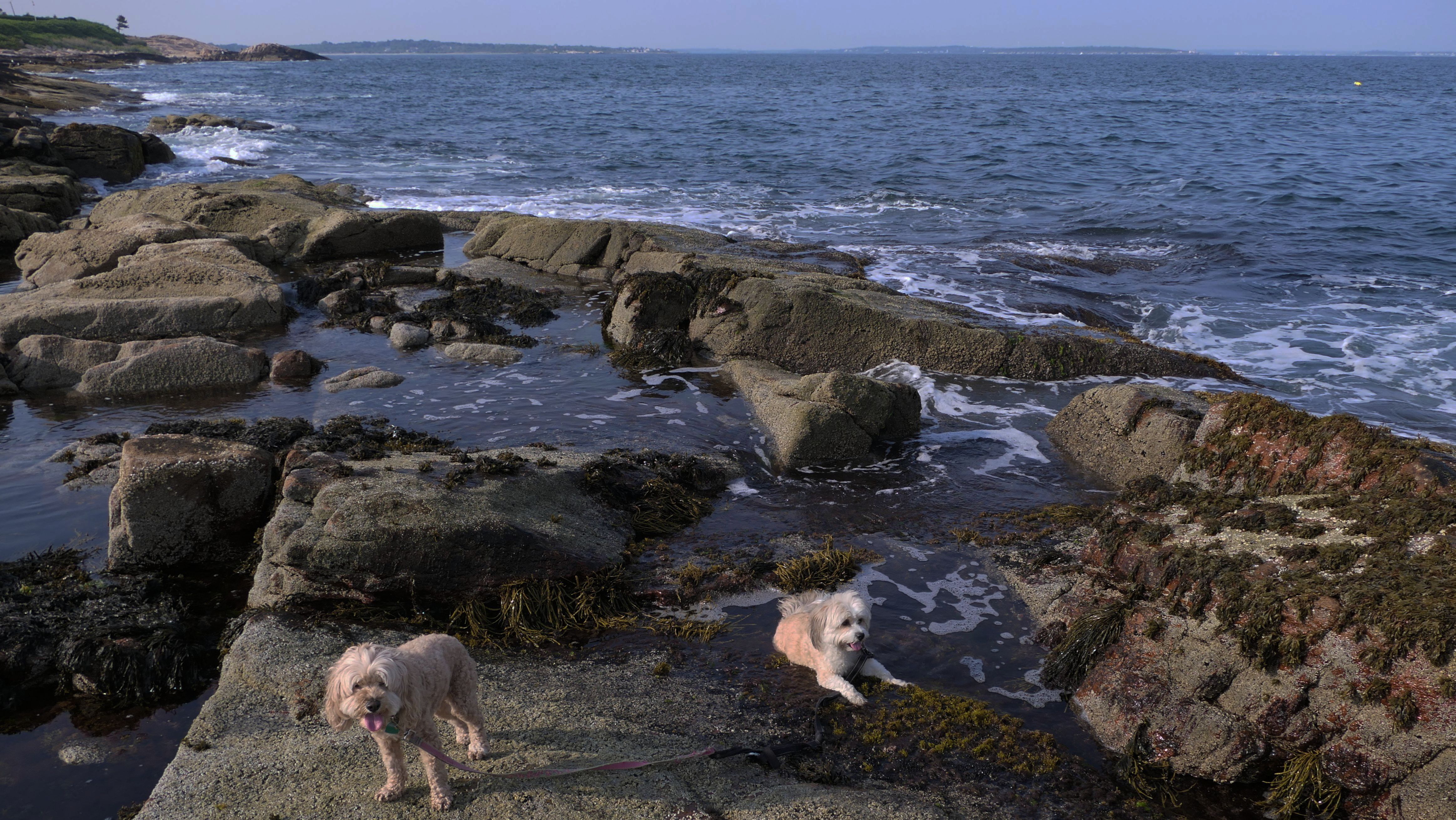
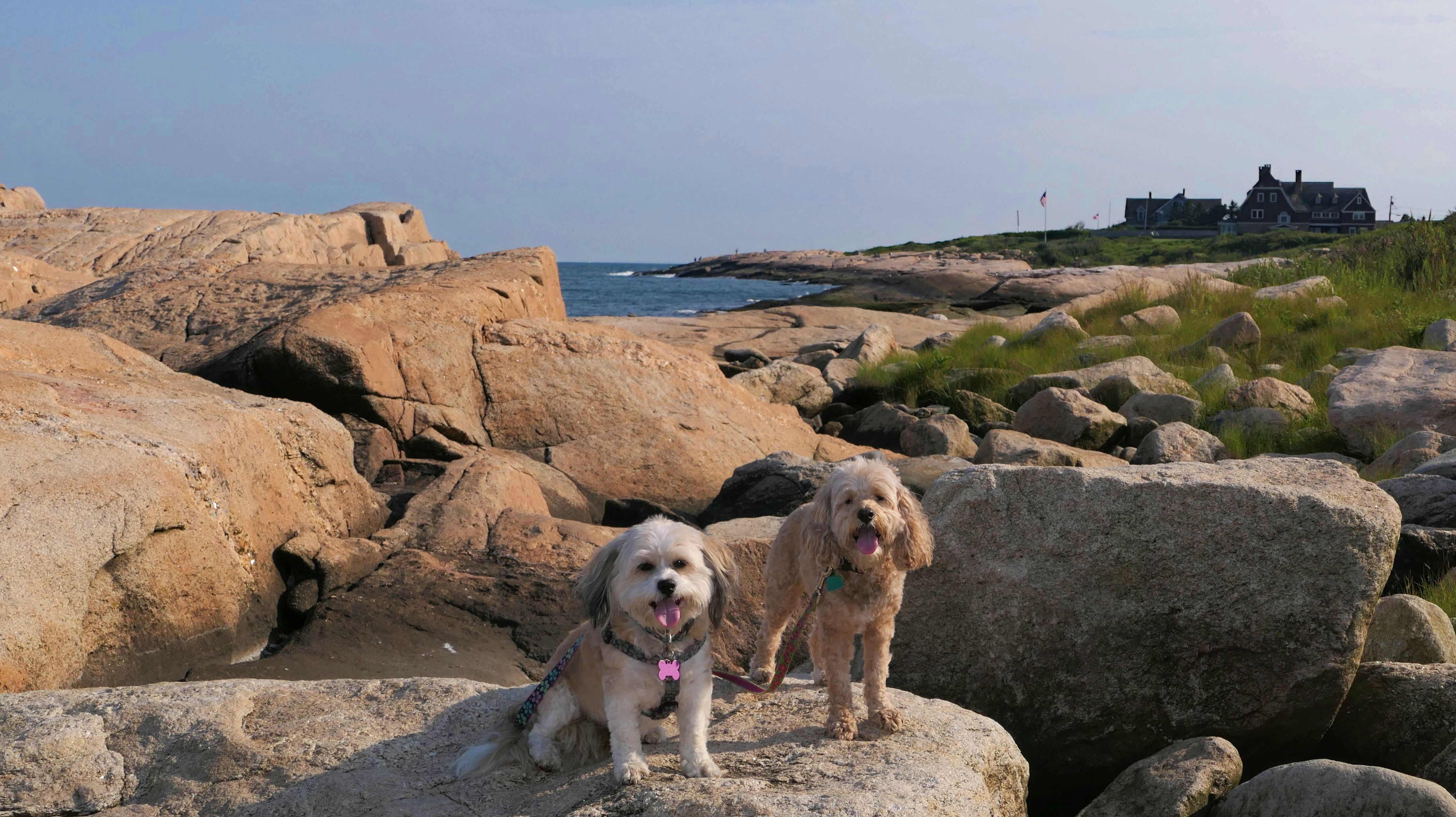
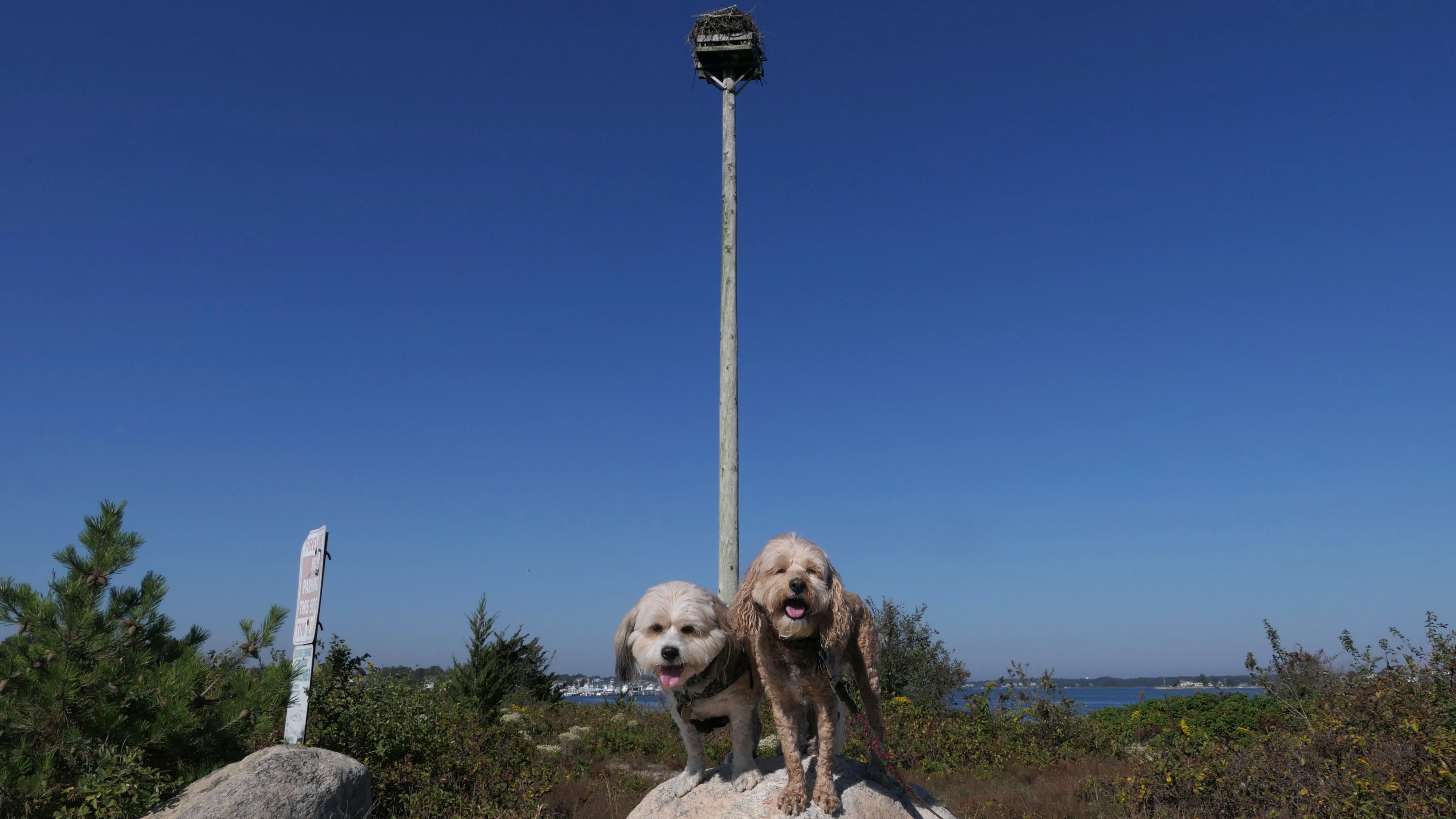
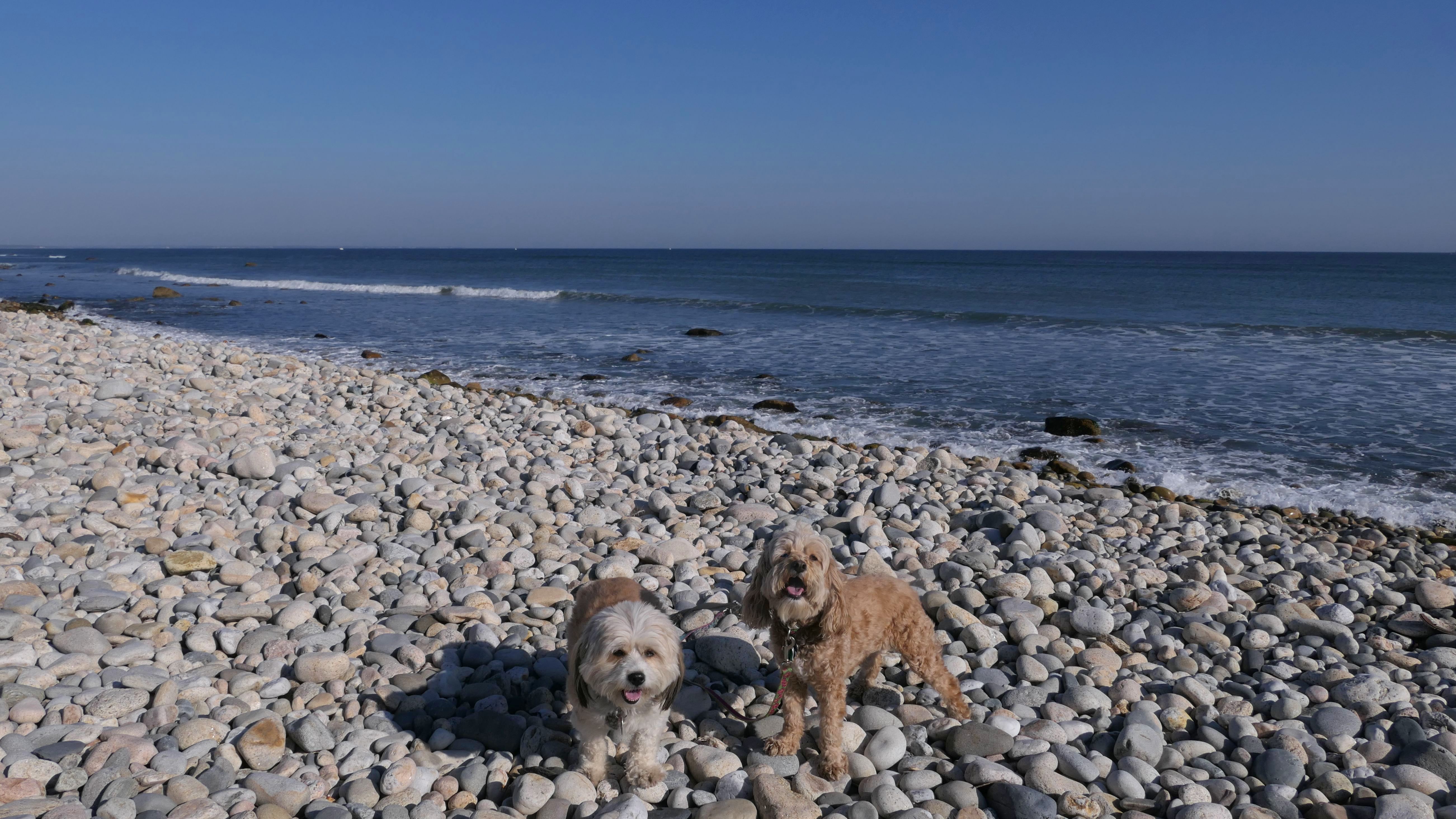
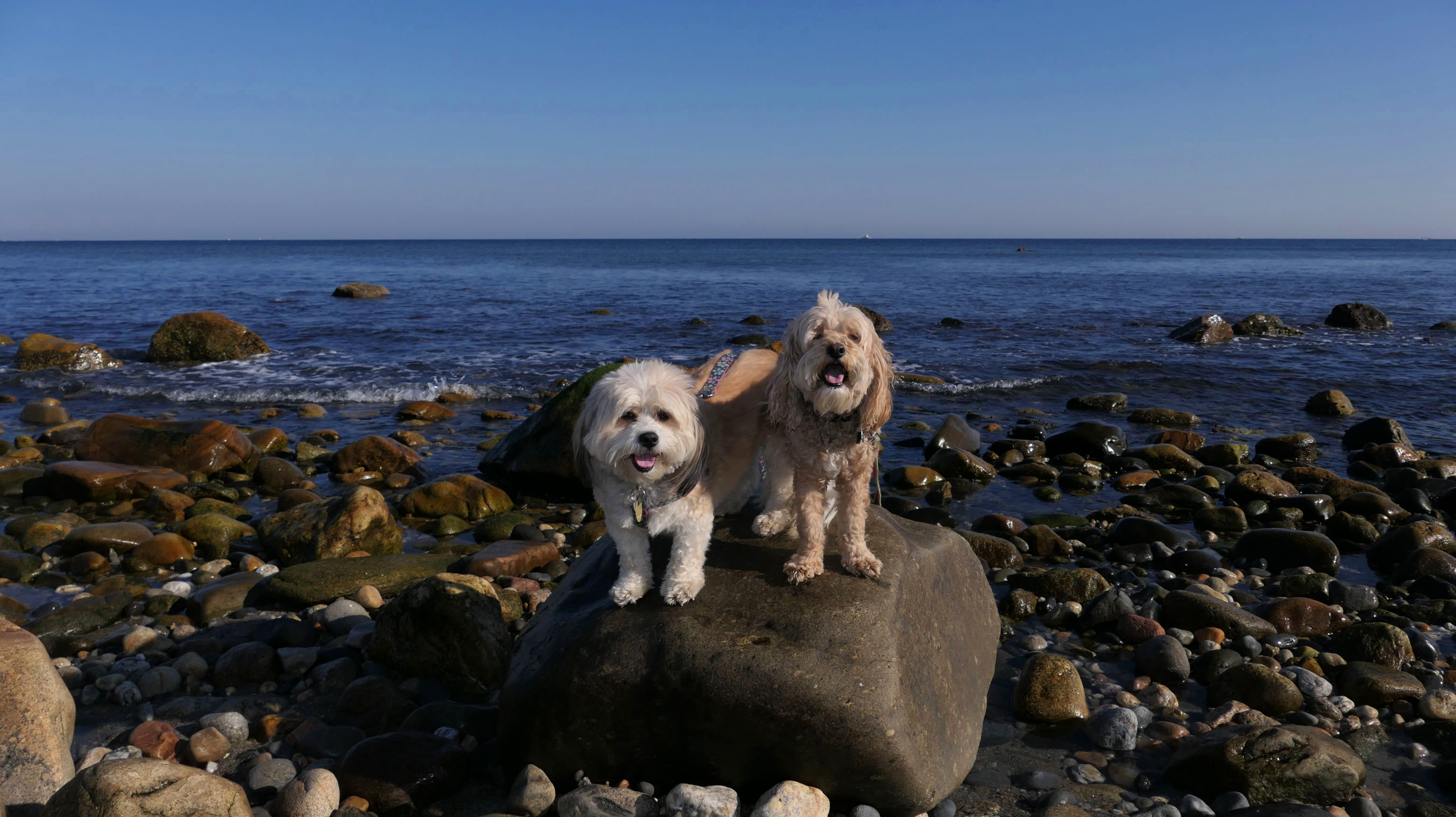
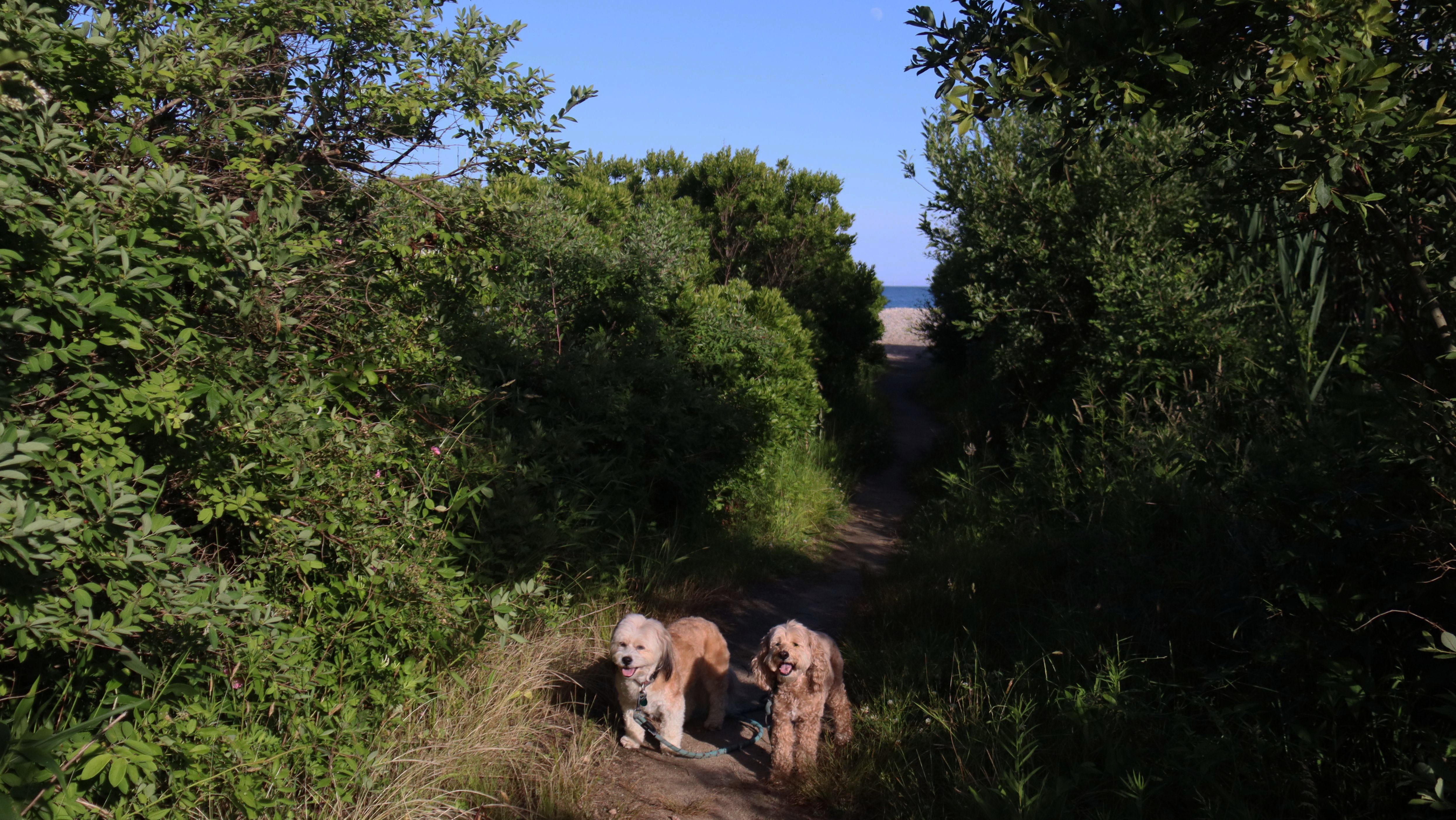
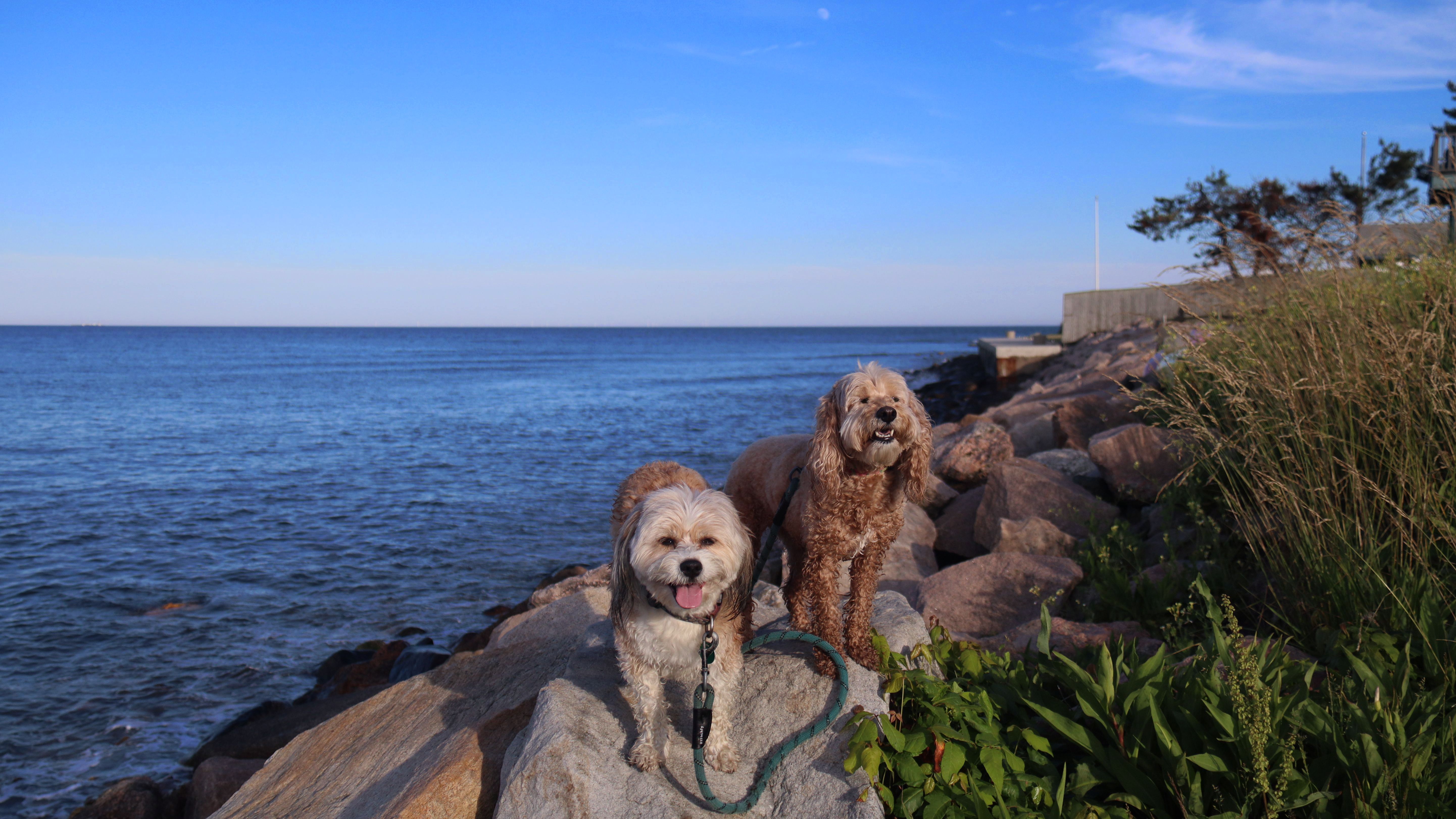
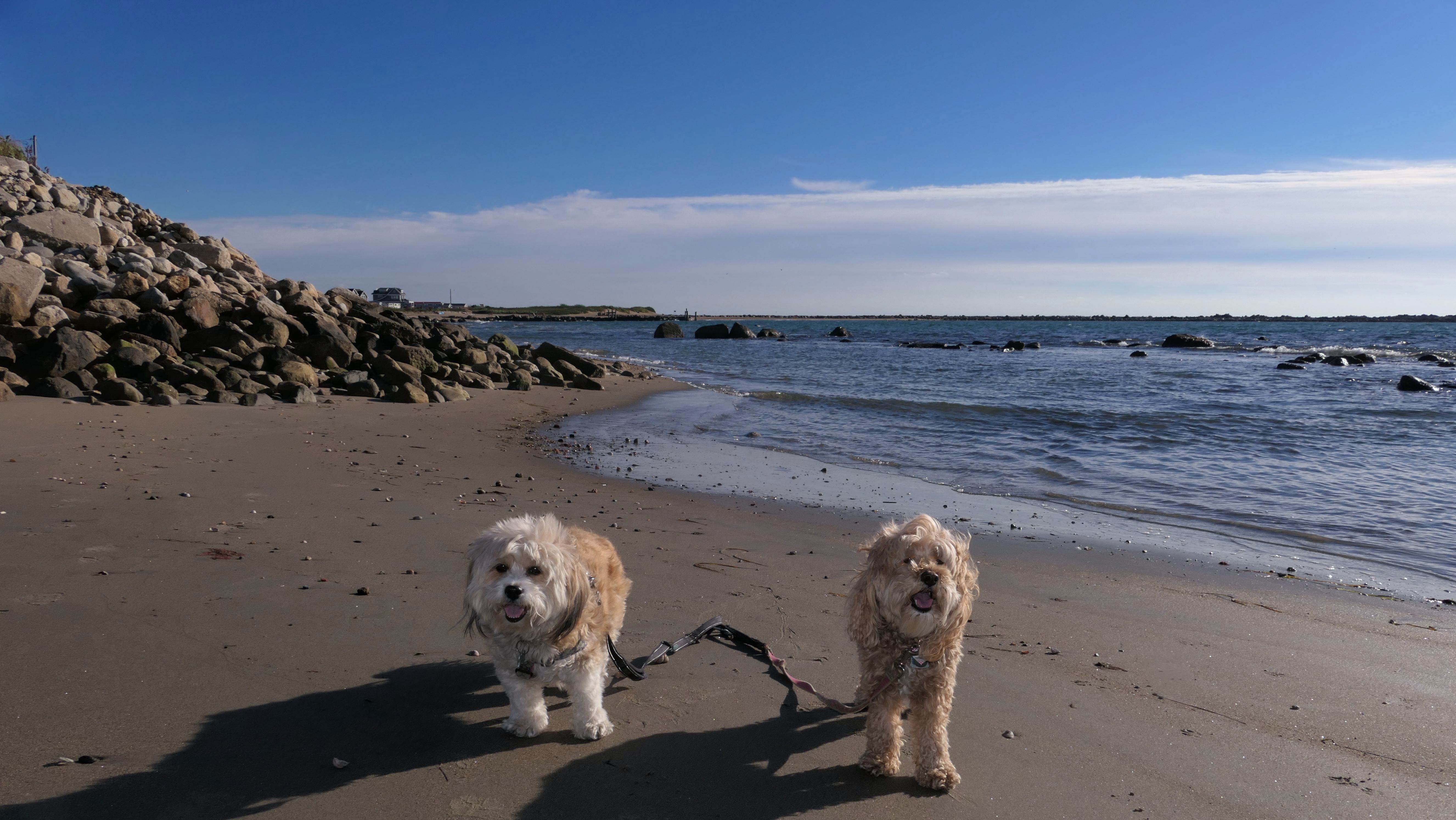
Date visited: 5/30/2022
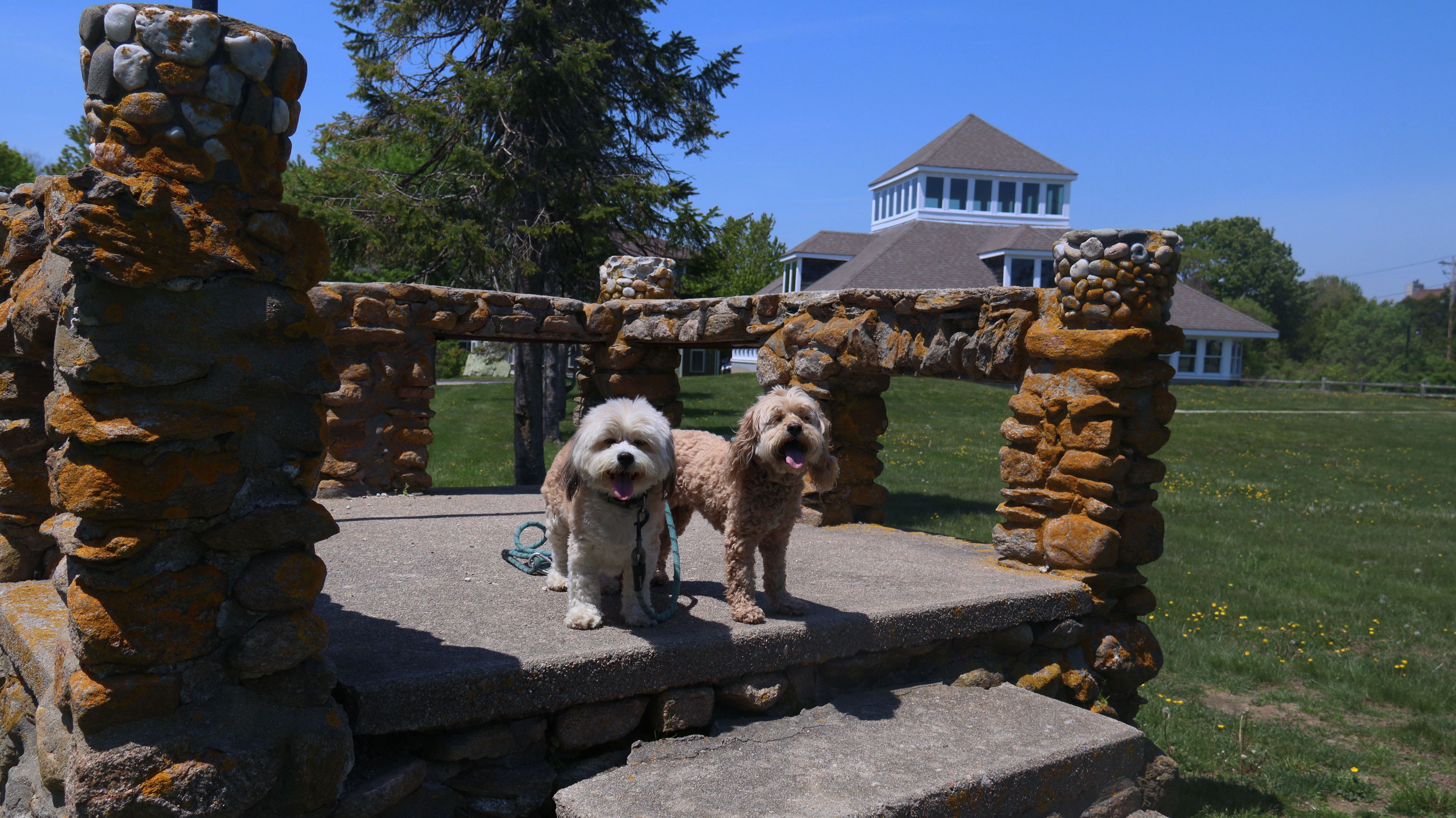
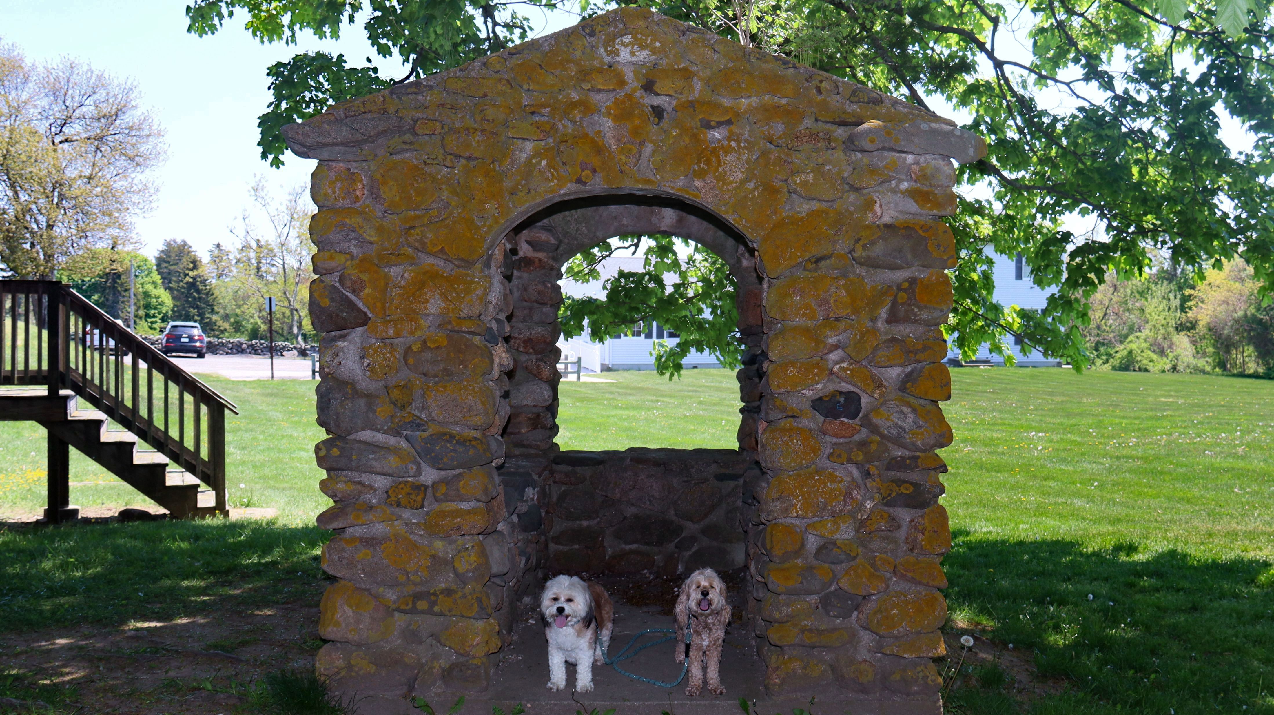
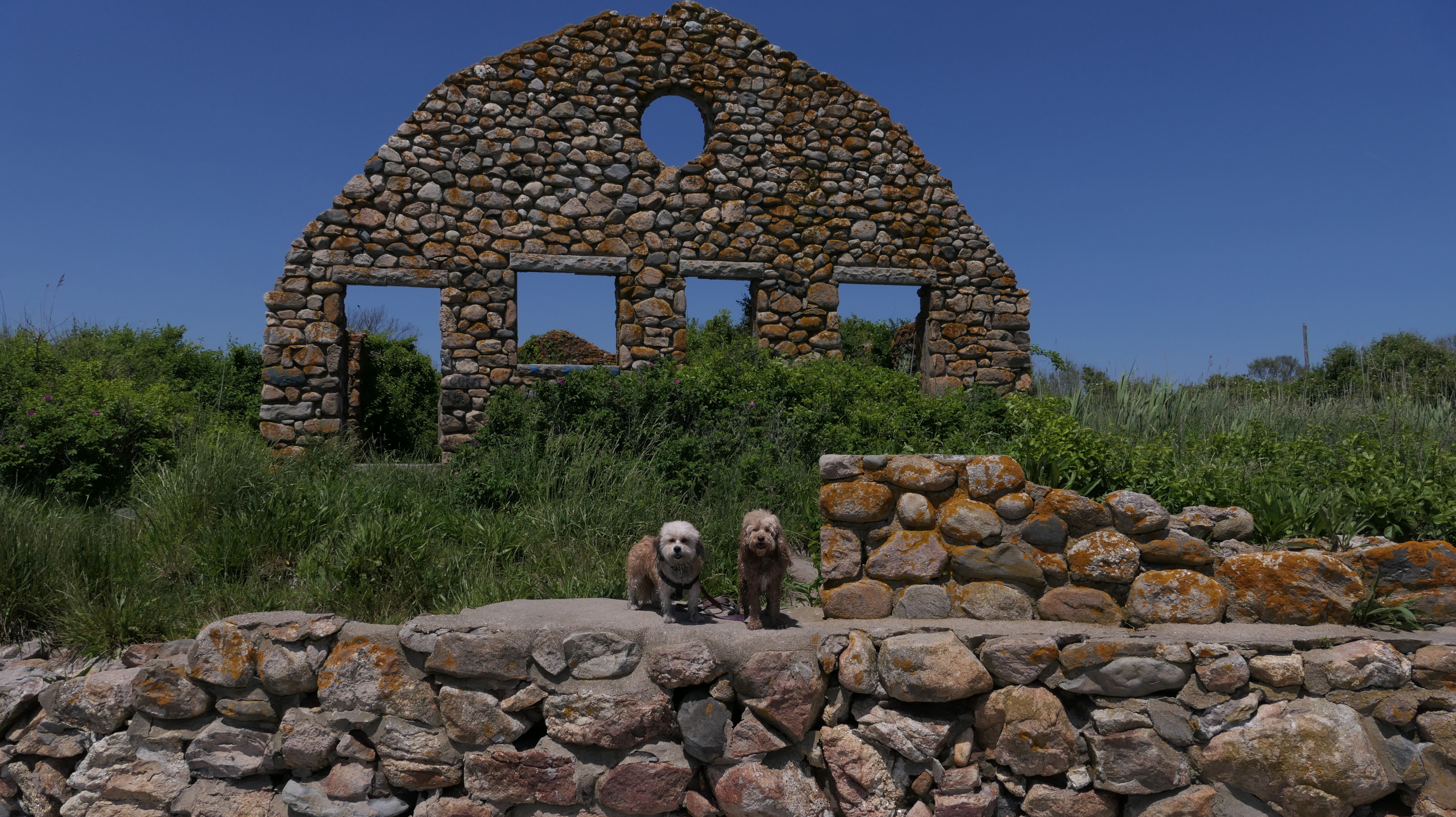
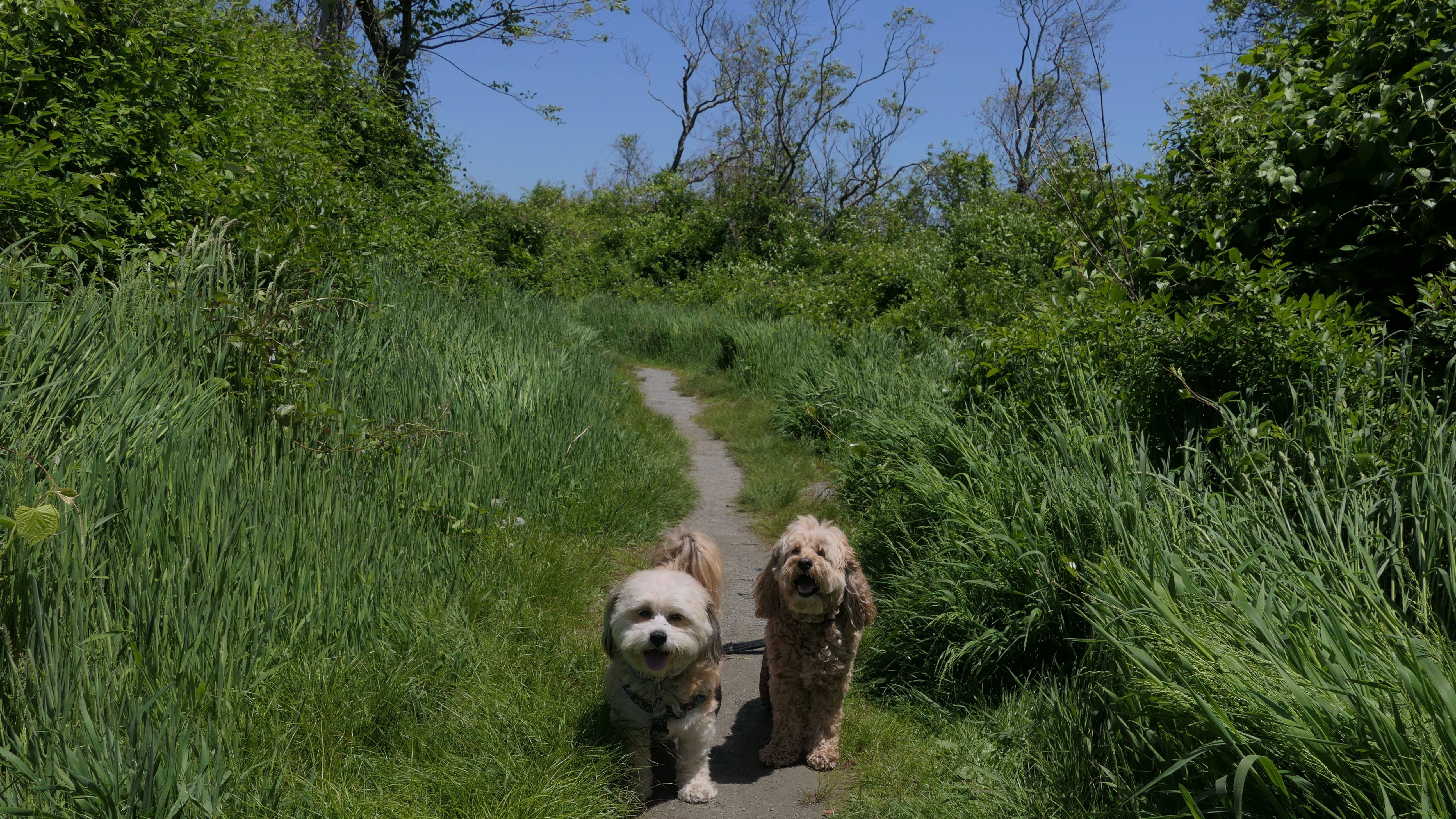
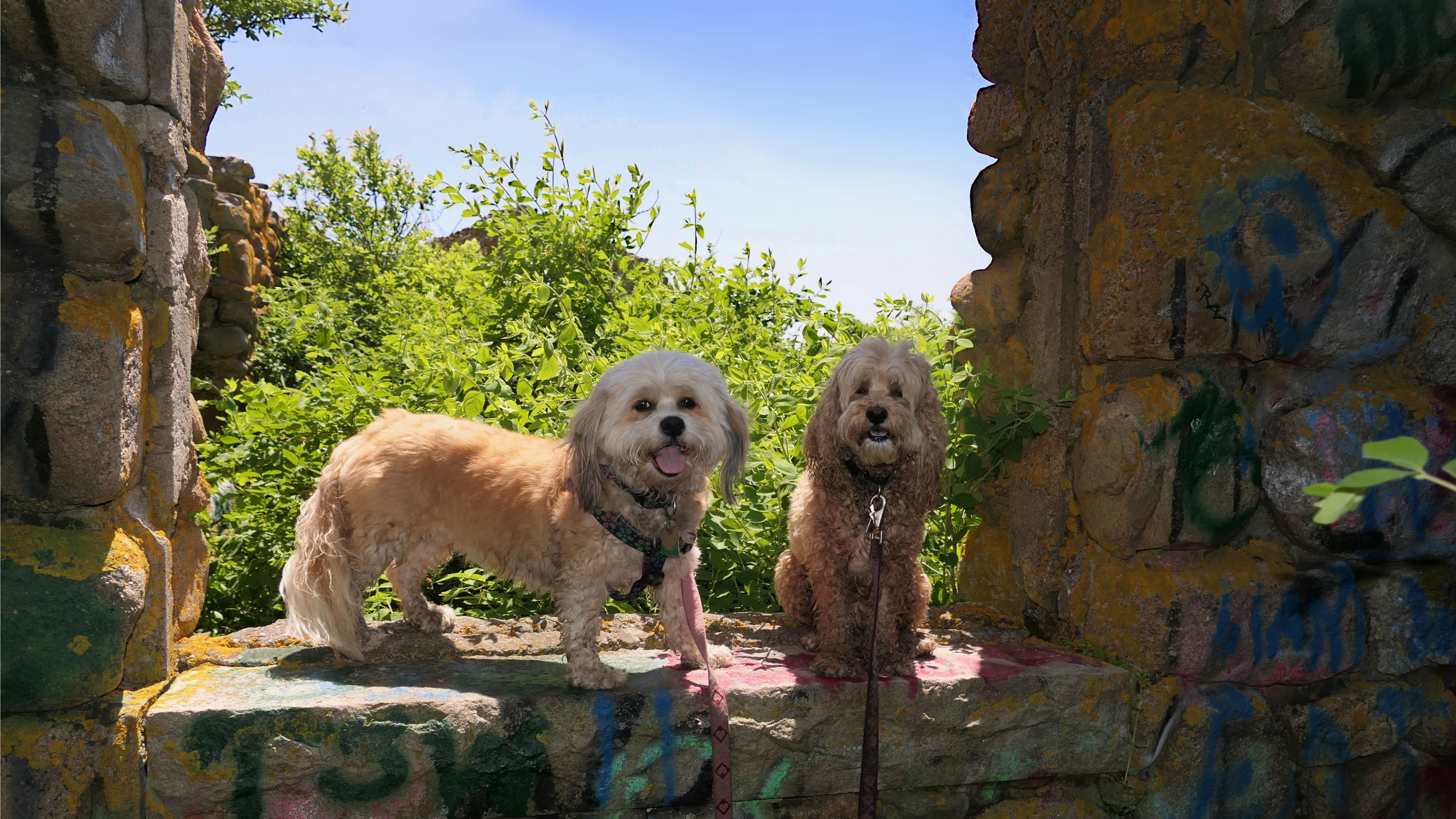
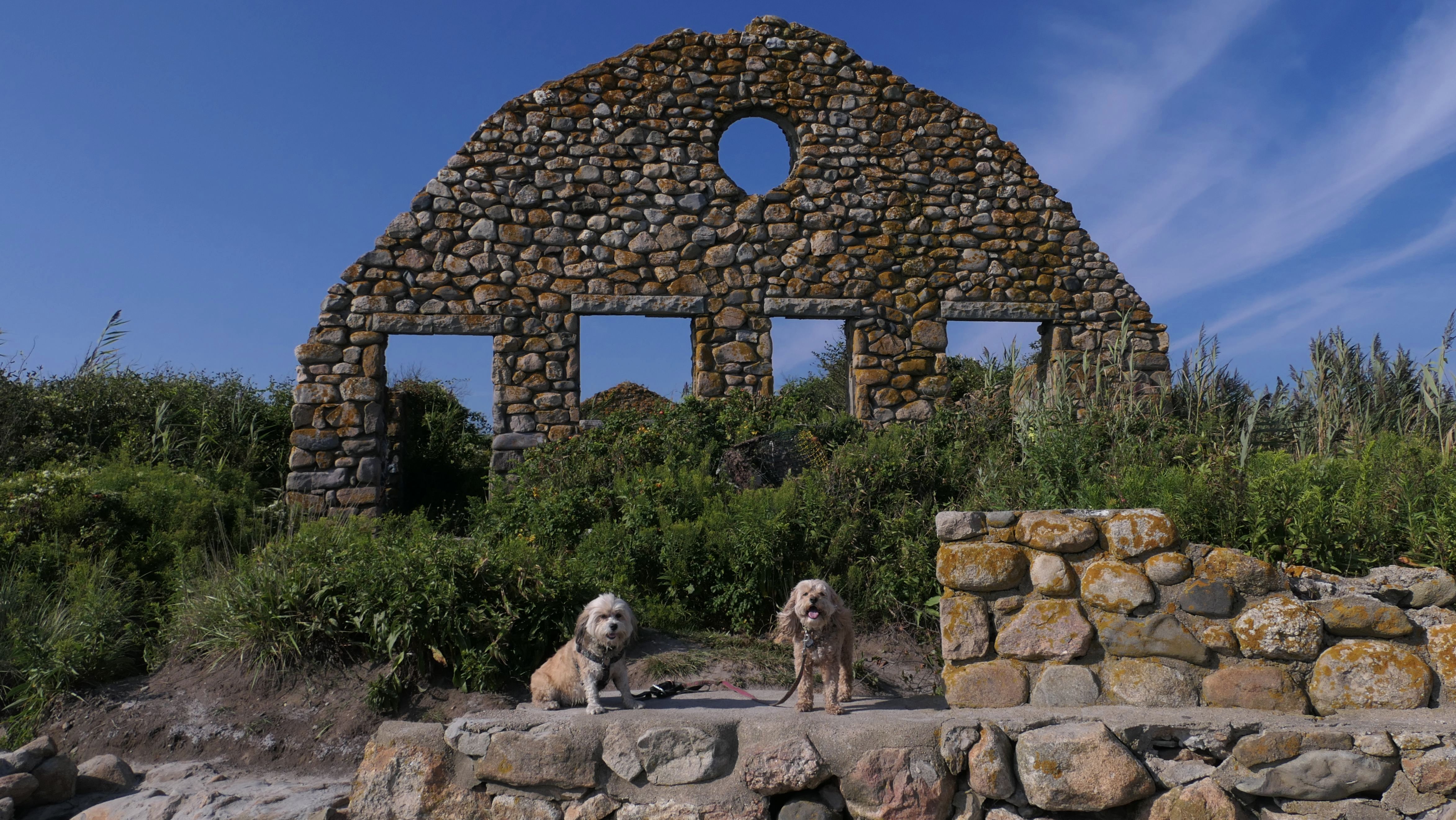
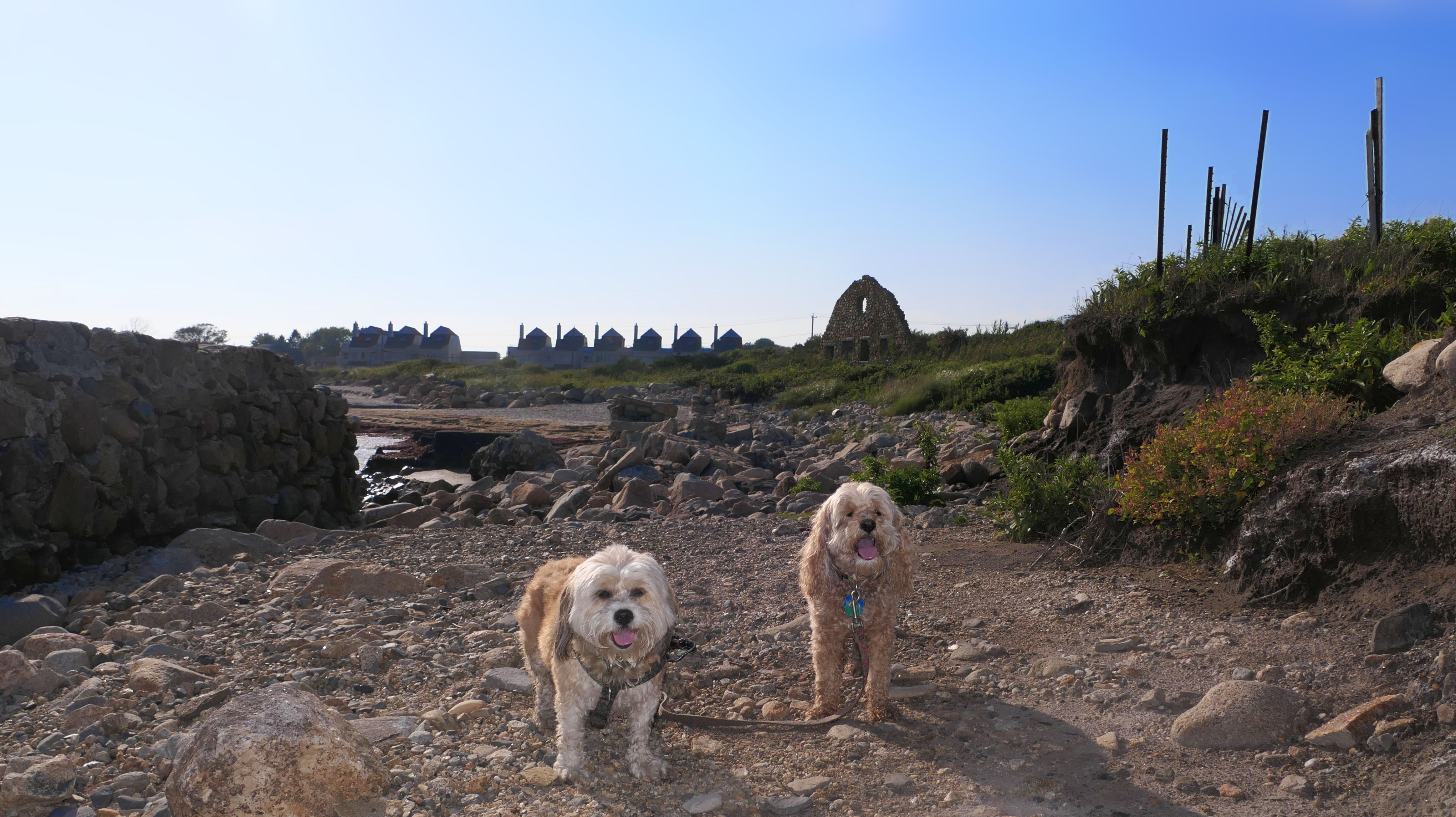
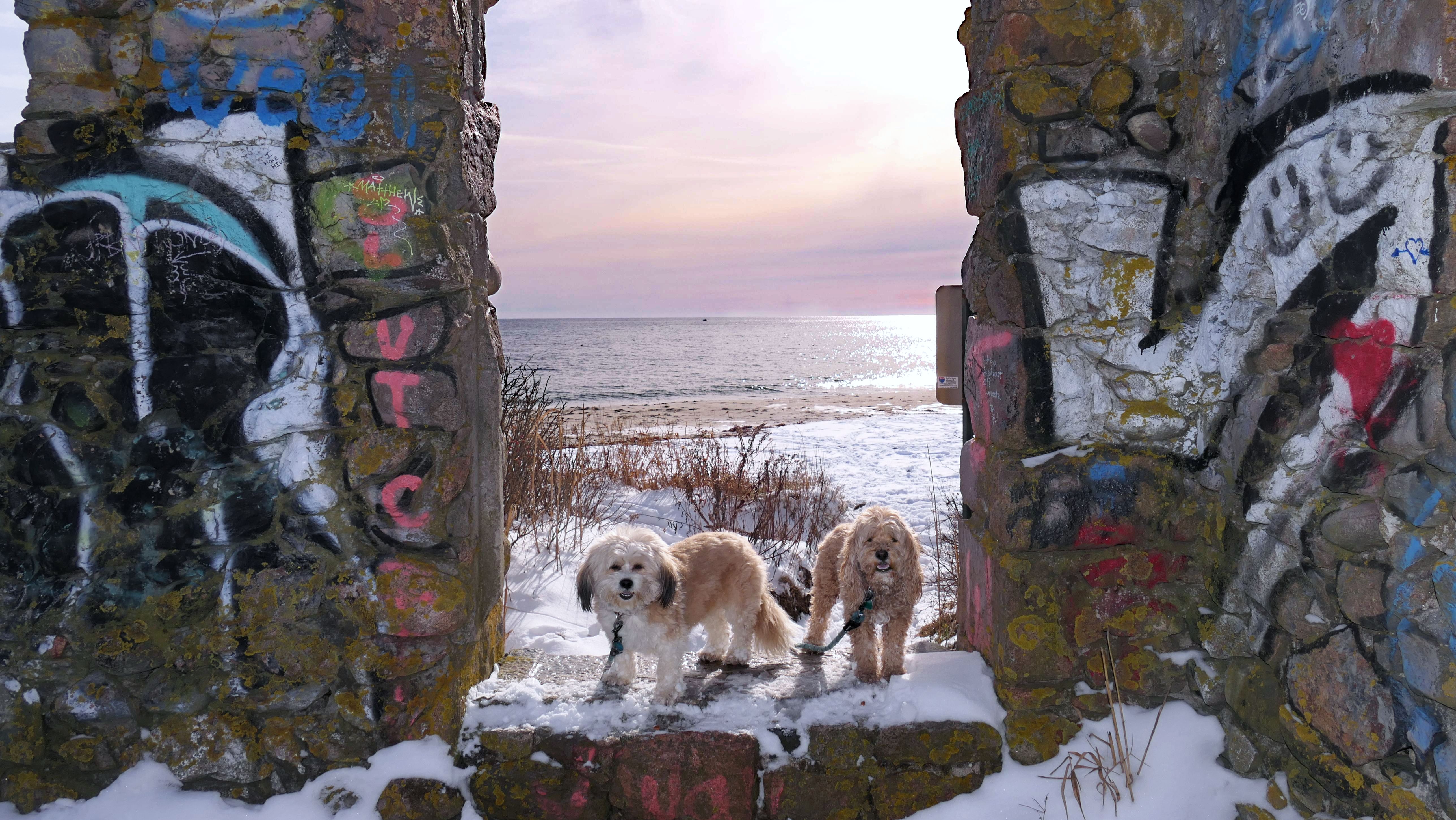
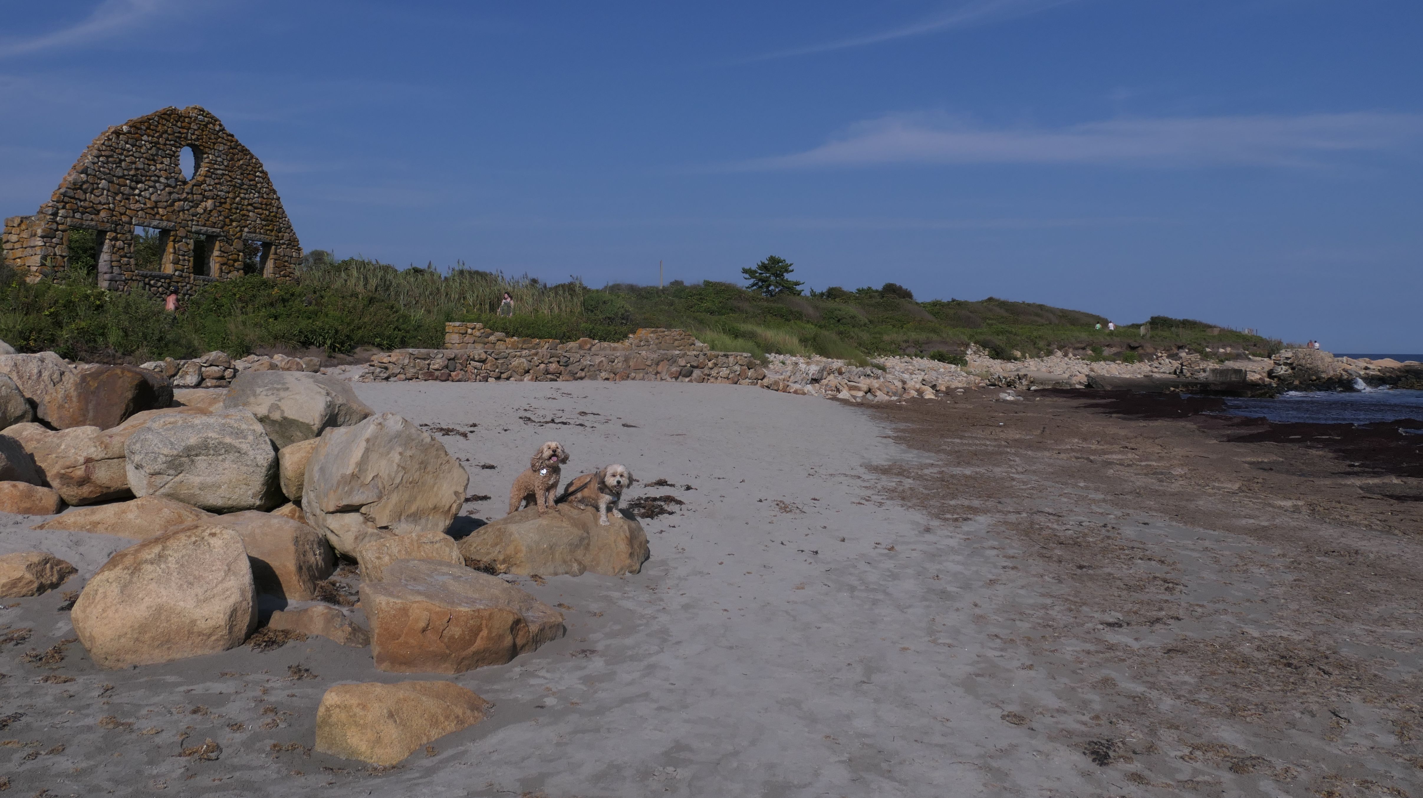
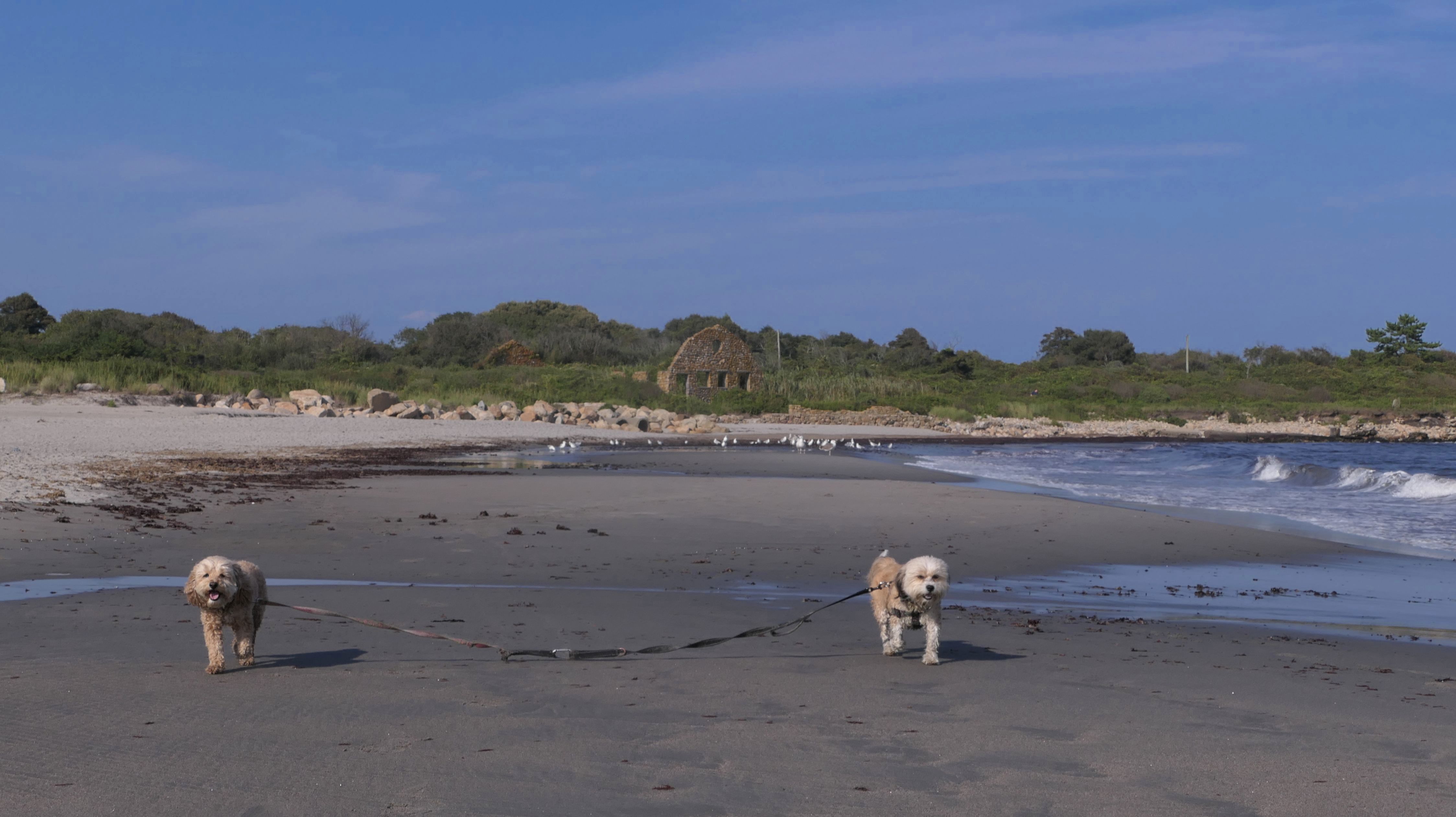
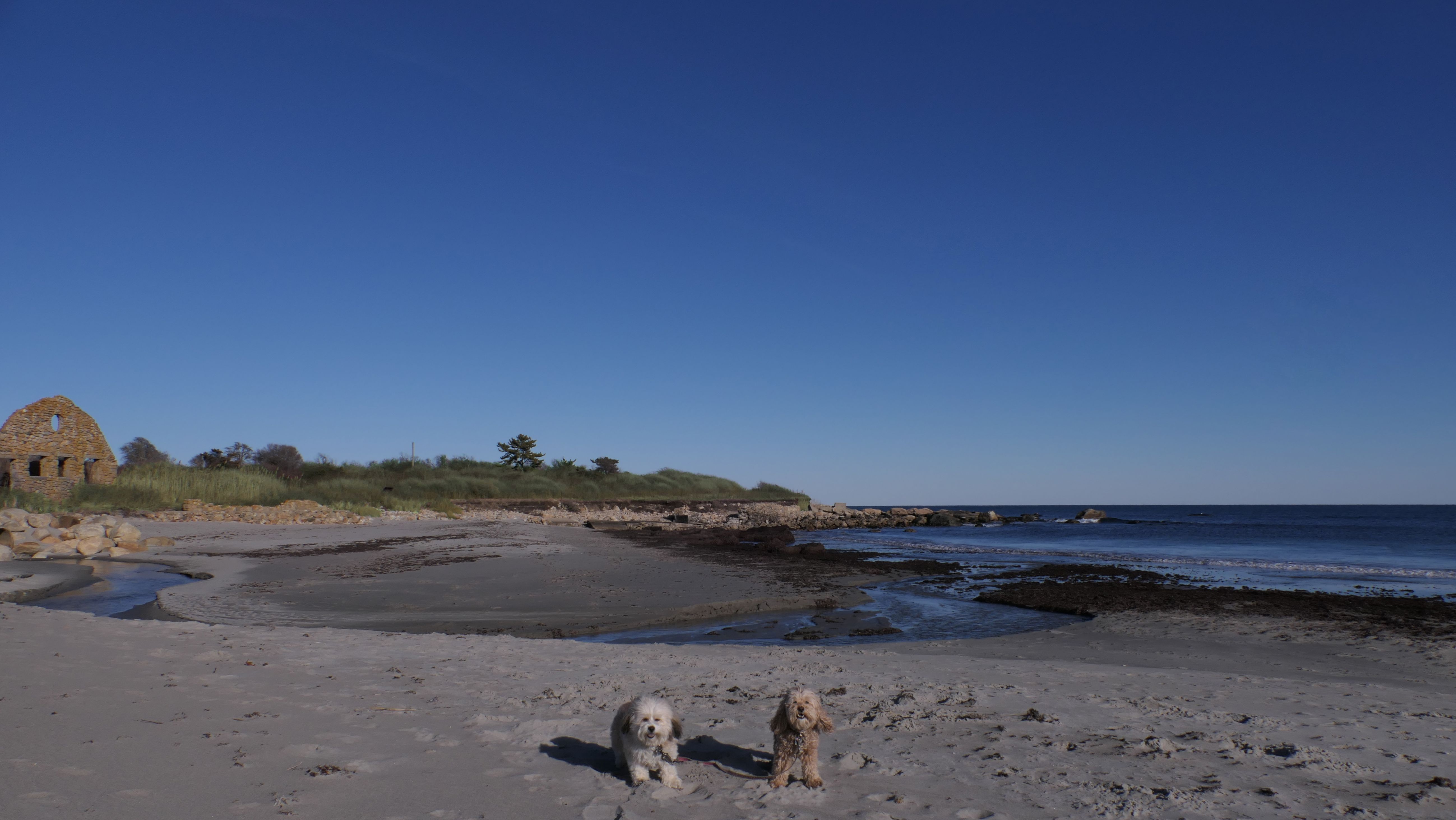
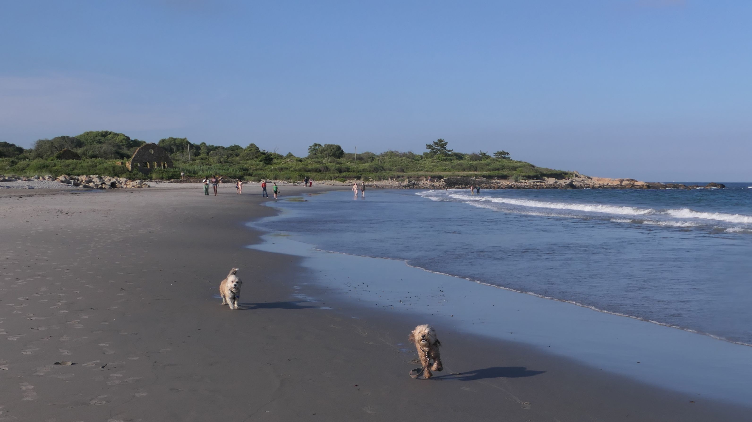
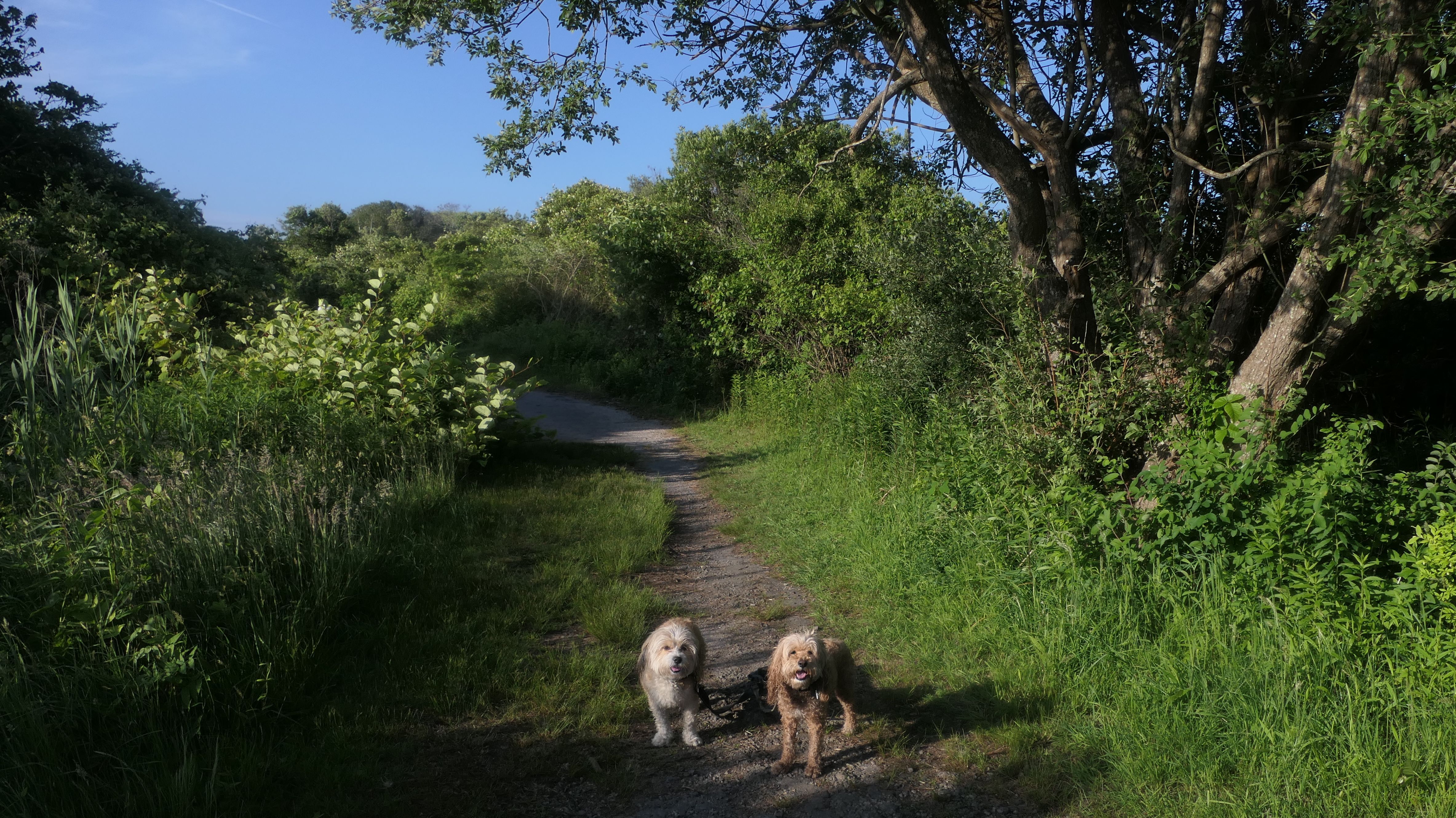
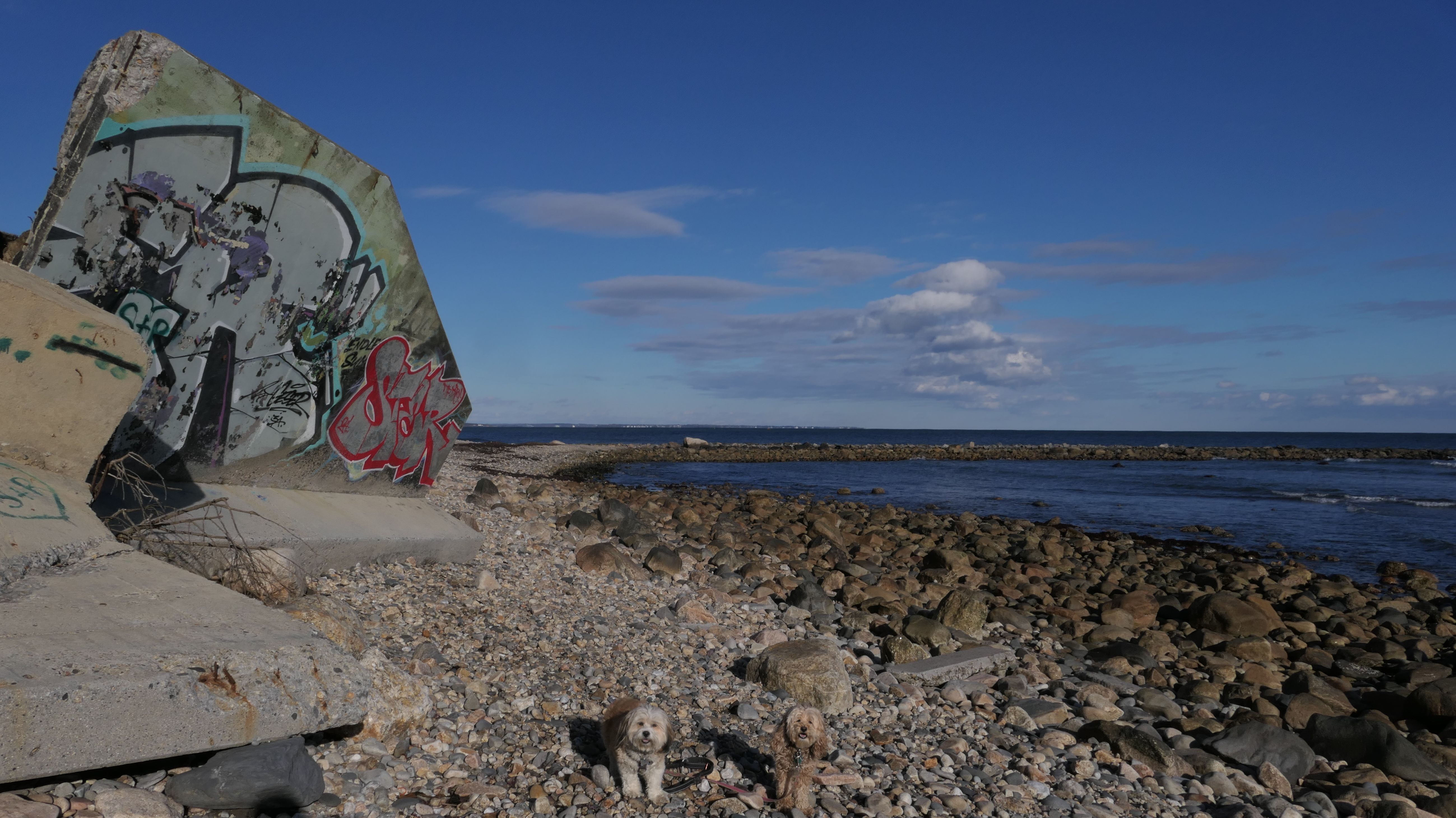
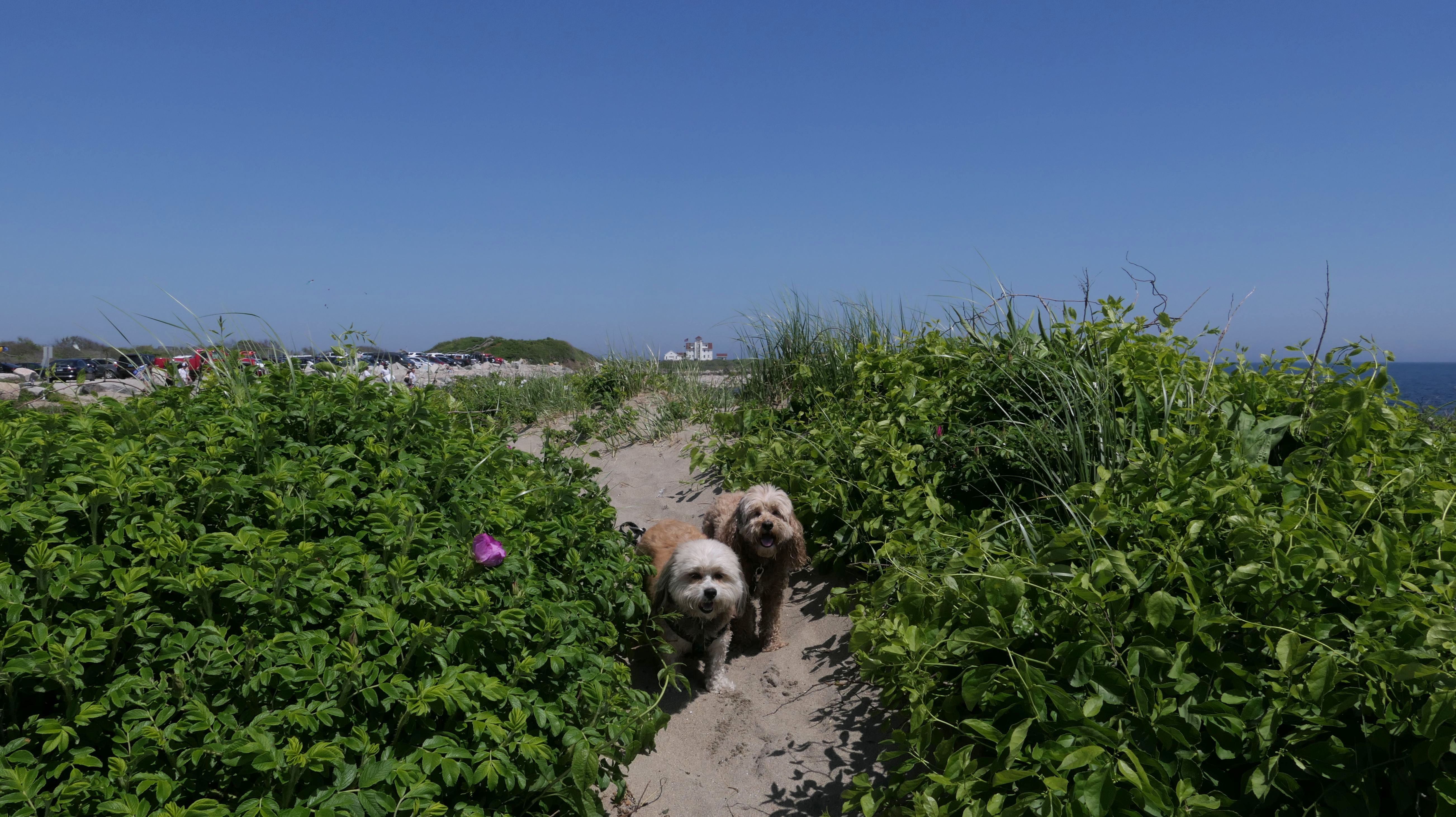
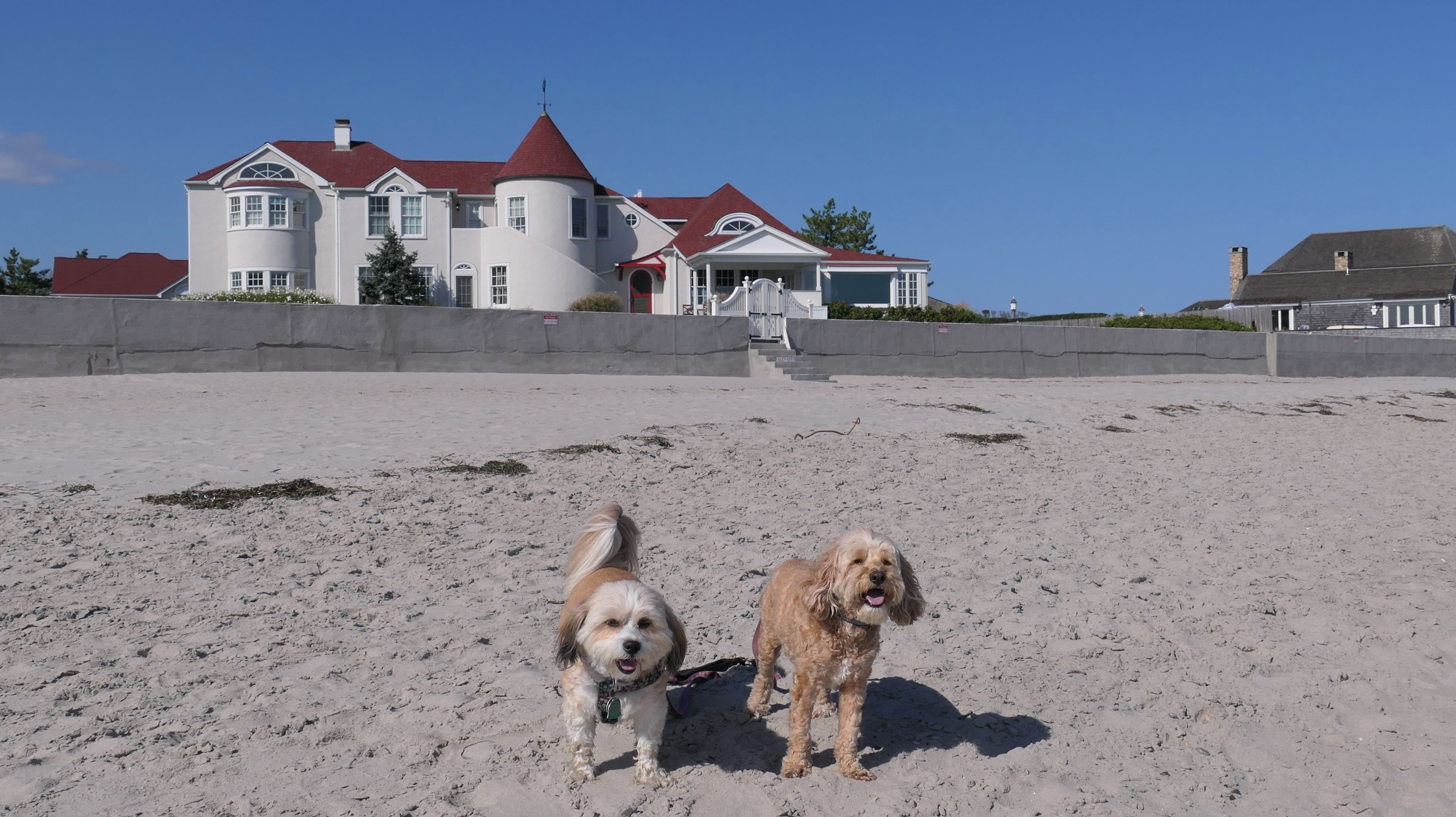
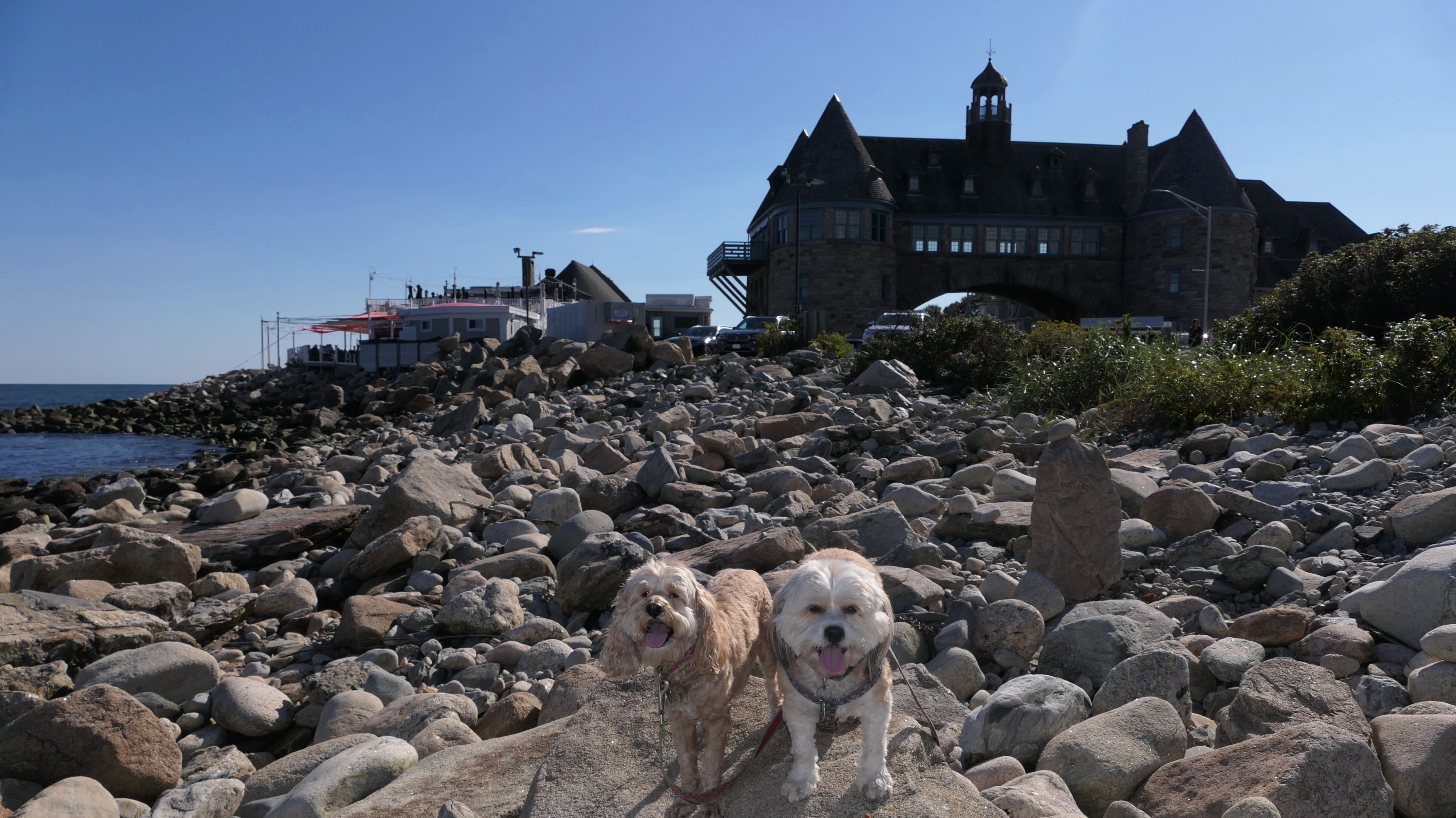
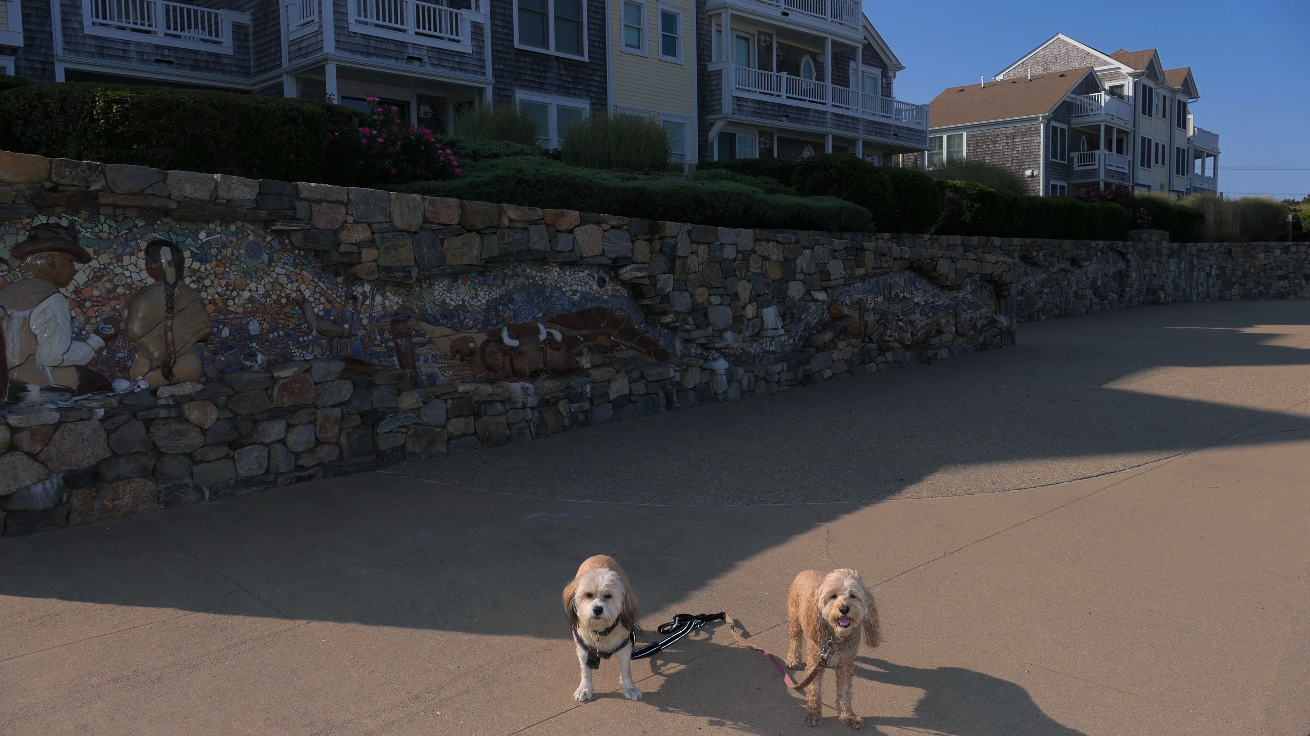
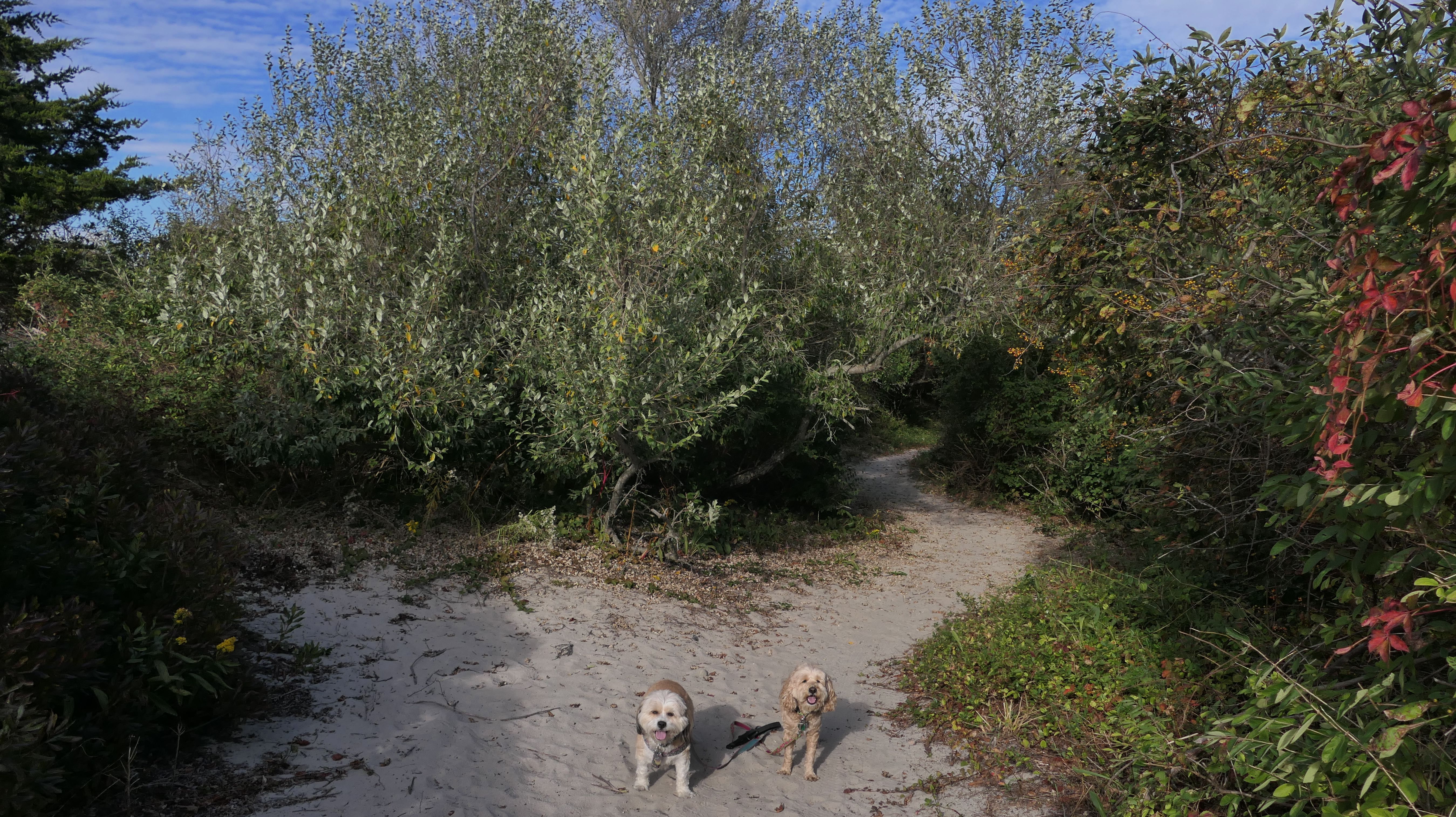
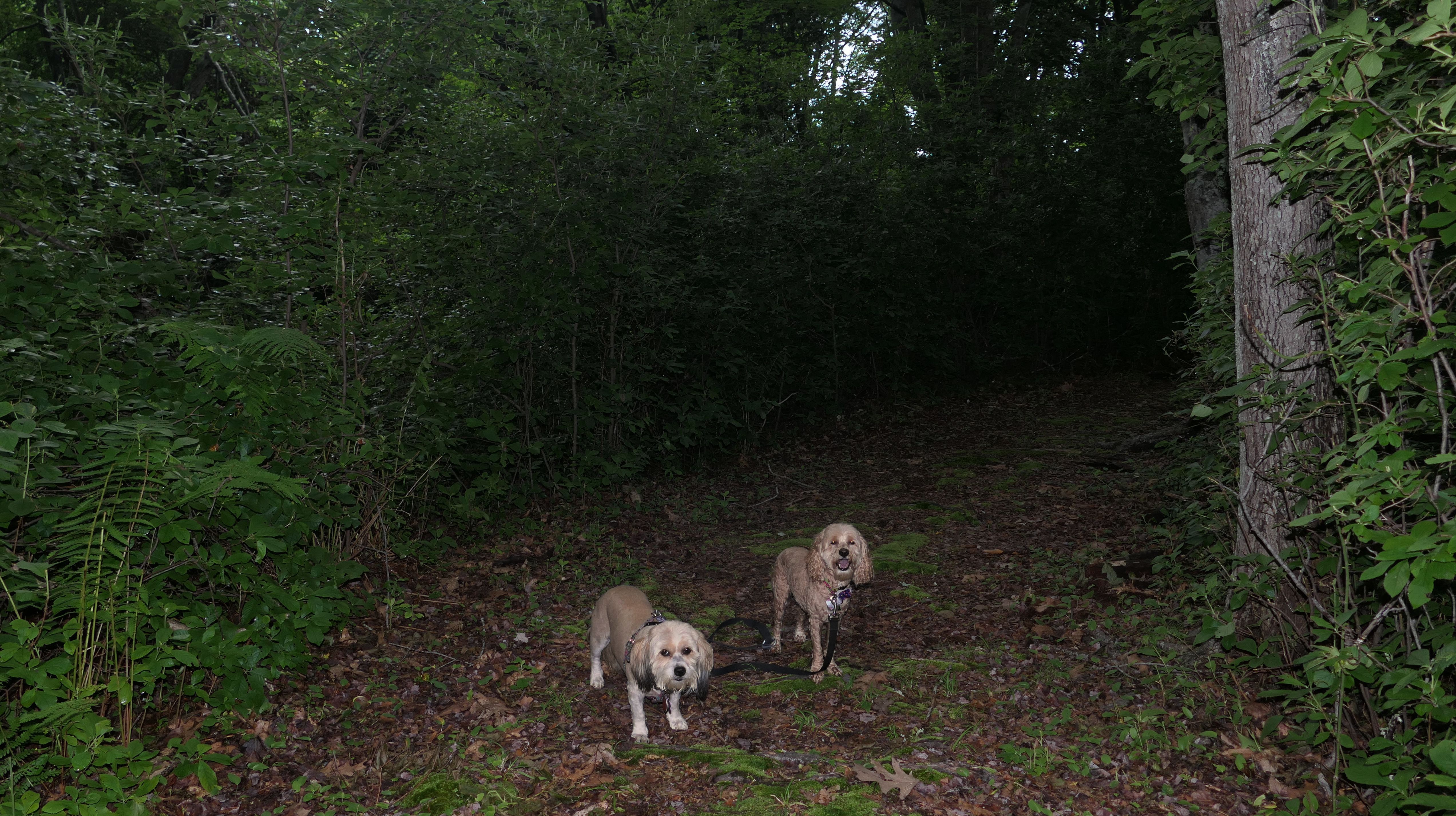
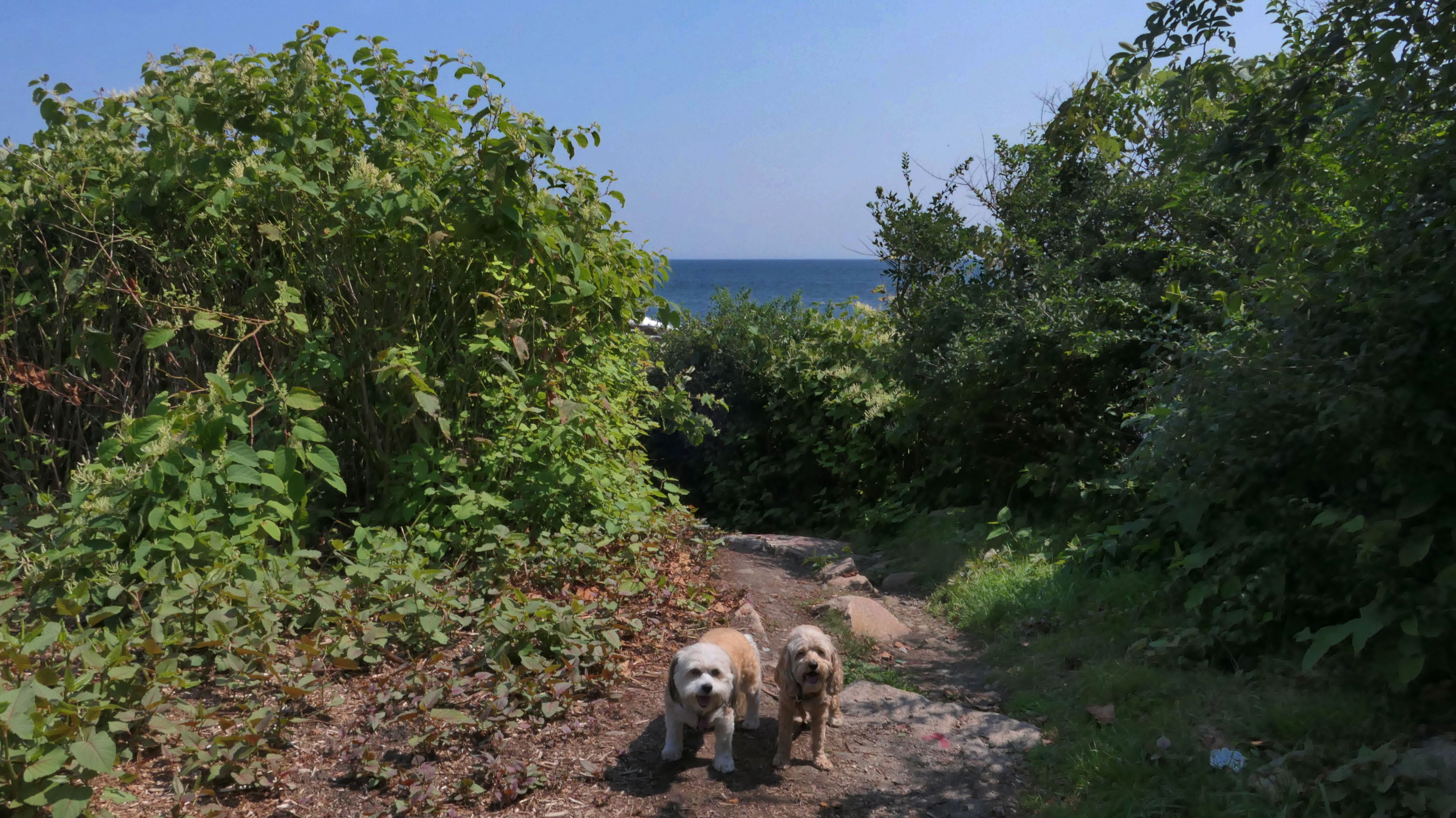
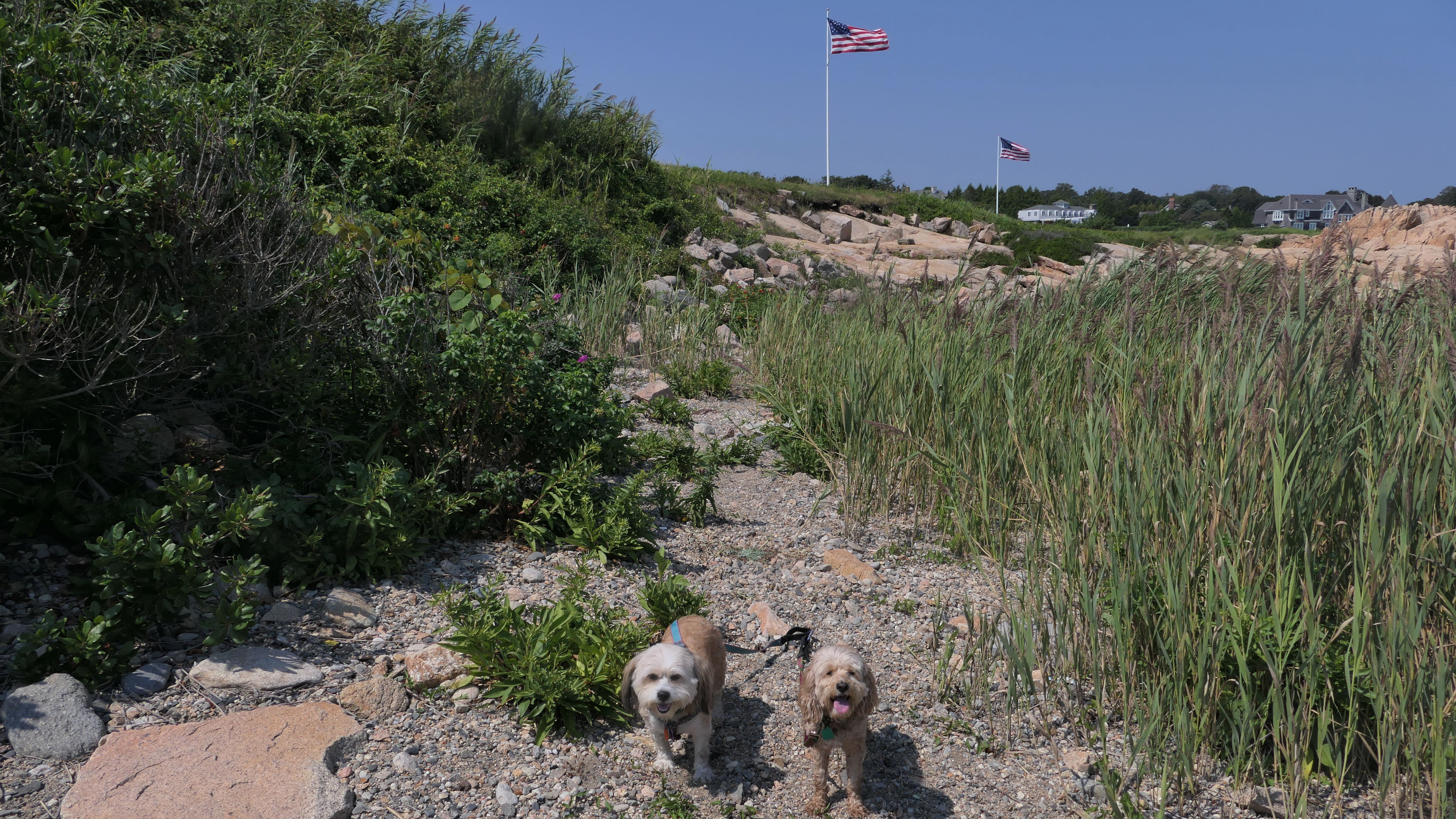
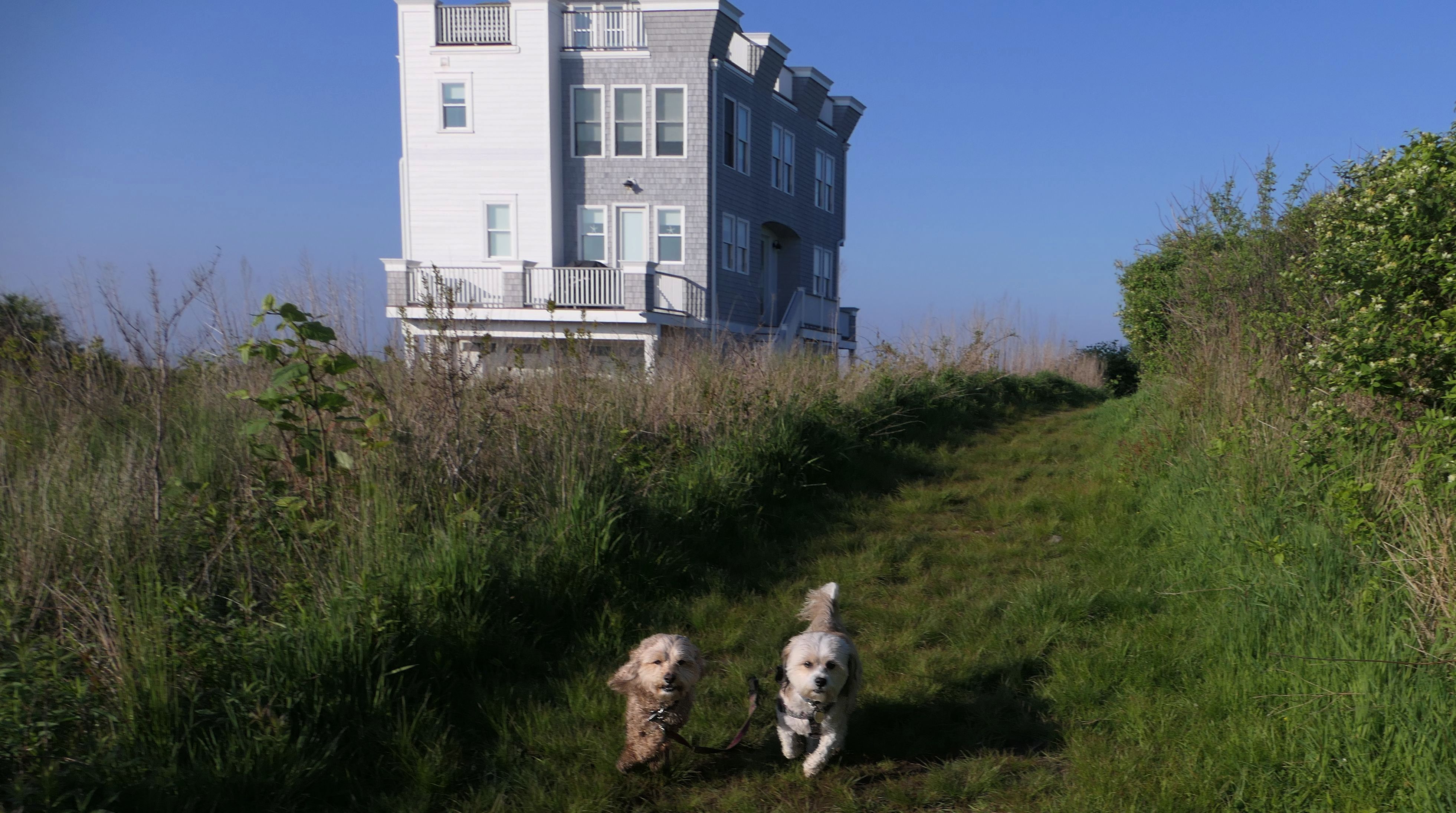
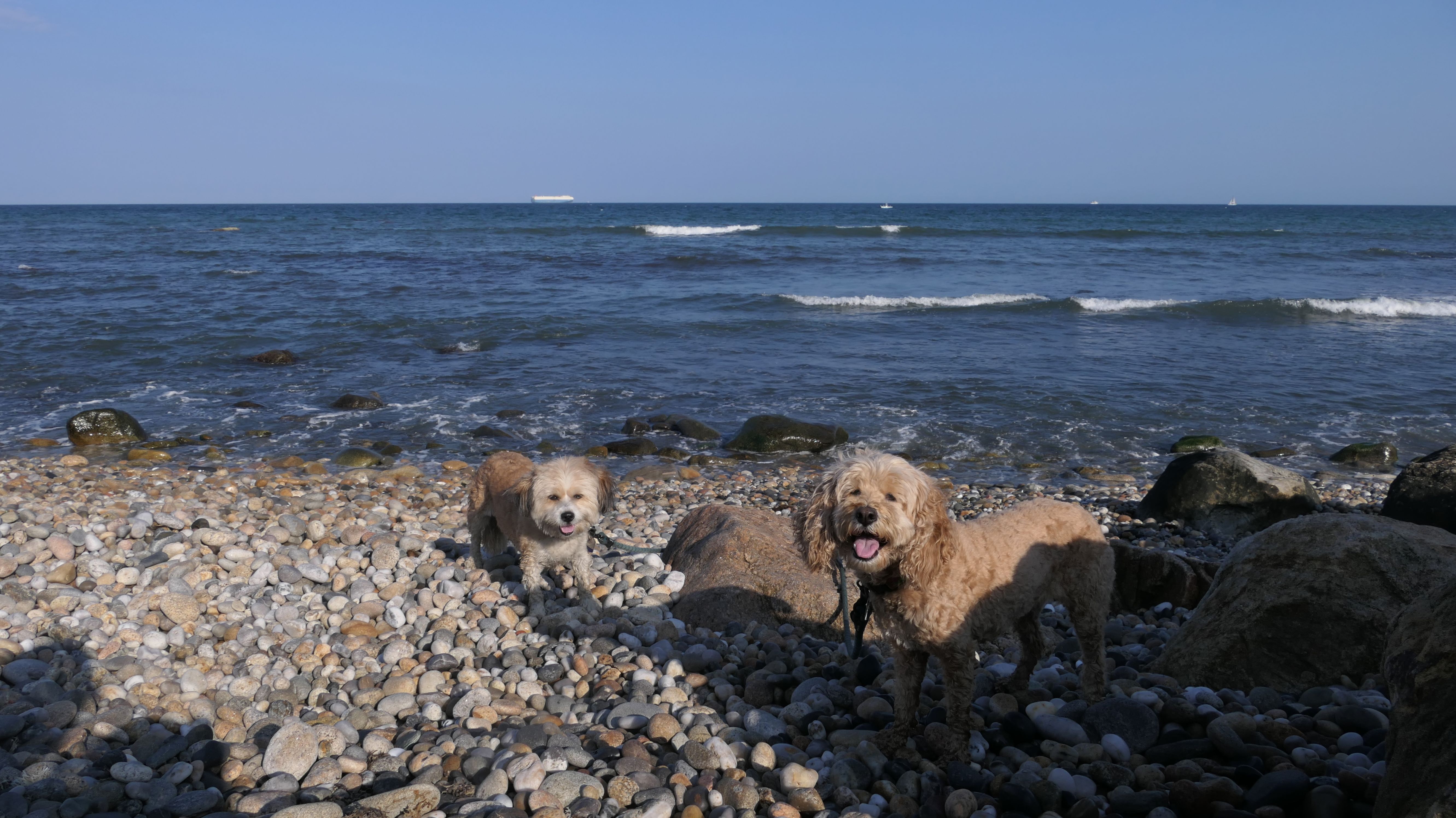
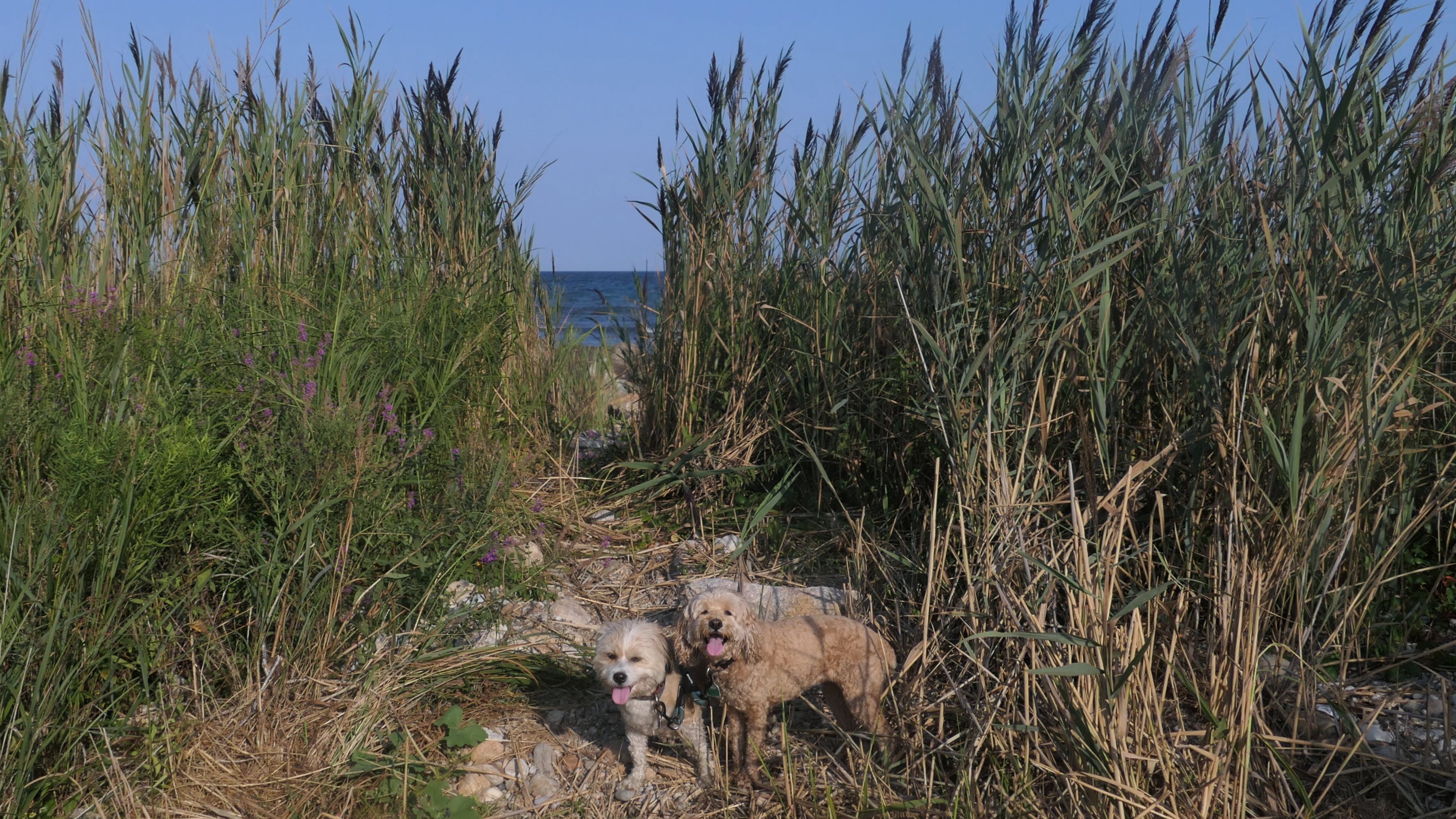
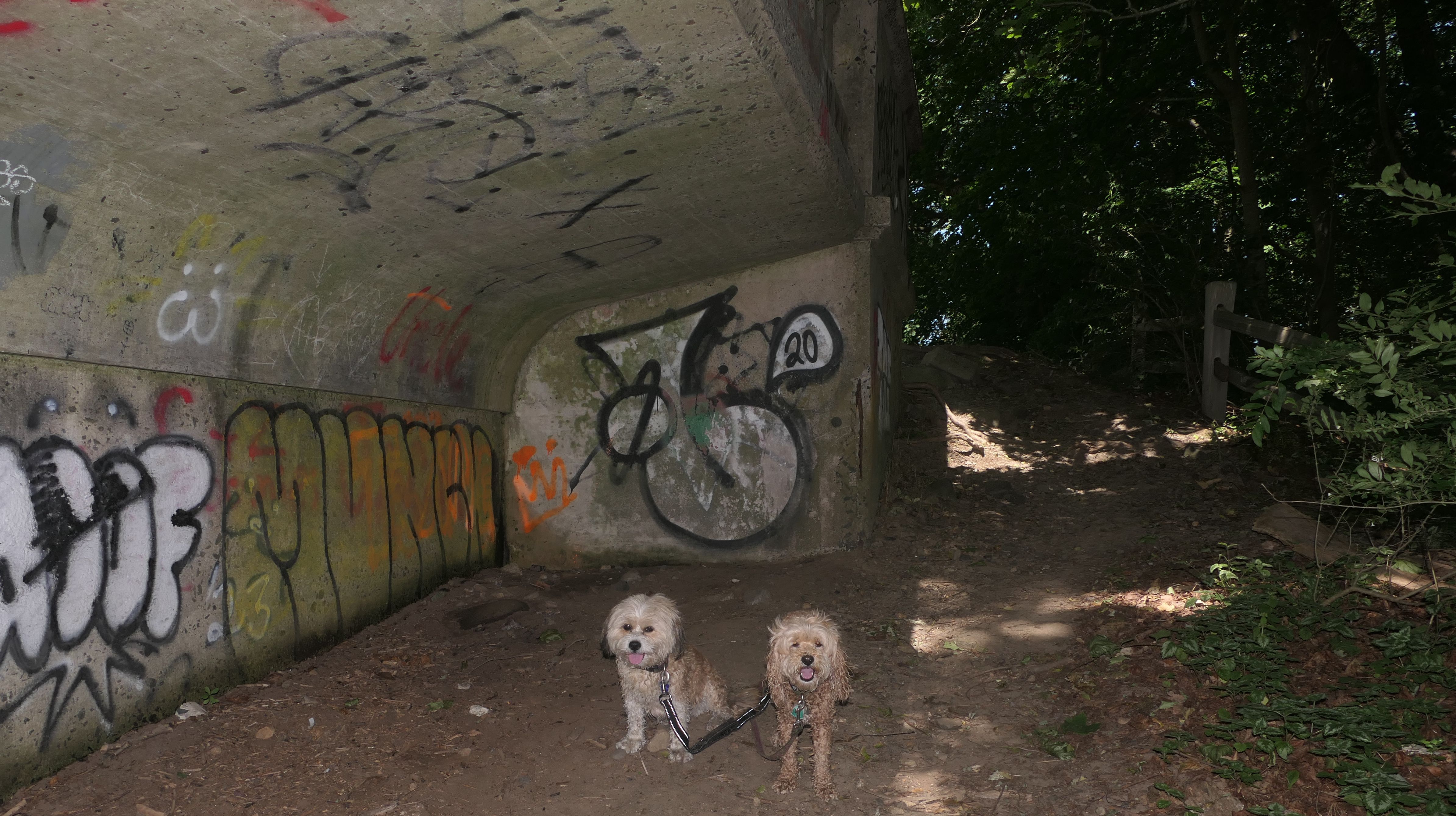
This is a great place! We came here for our Memorial Day outing. There was exactly one spot open in the parking lot when we arrived, so luck was on our side. Black Point is primarily a fishing spot, but there is a stone dust/gravel trail that runs parallel to the shore line. There is plenty of access to the rocky shoreline. The end of the trail connects to Scarborough Beach, a very popular State Beach. Toward the end of the trail, is the ruins of Winswept, a 21 room mansion constructed in 1895. It was later converted to a restaurant called "Cobbs By The Sea" before burning down. A trail runs right through the old ruins now.
More Images
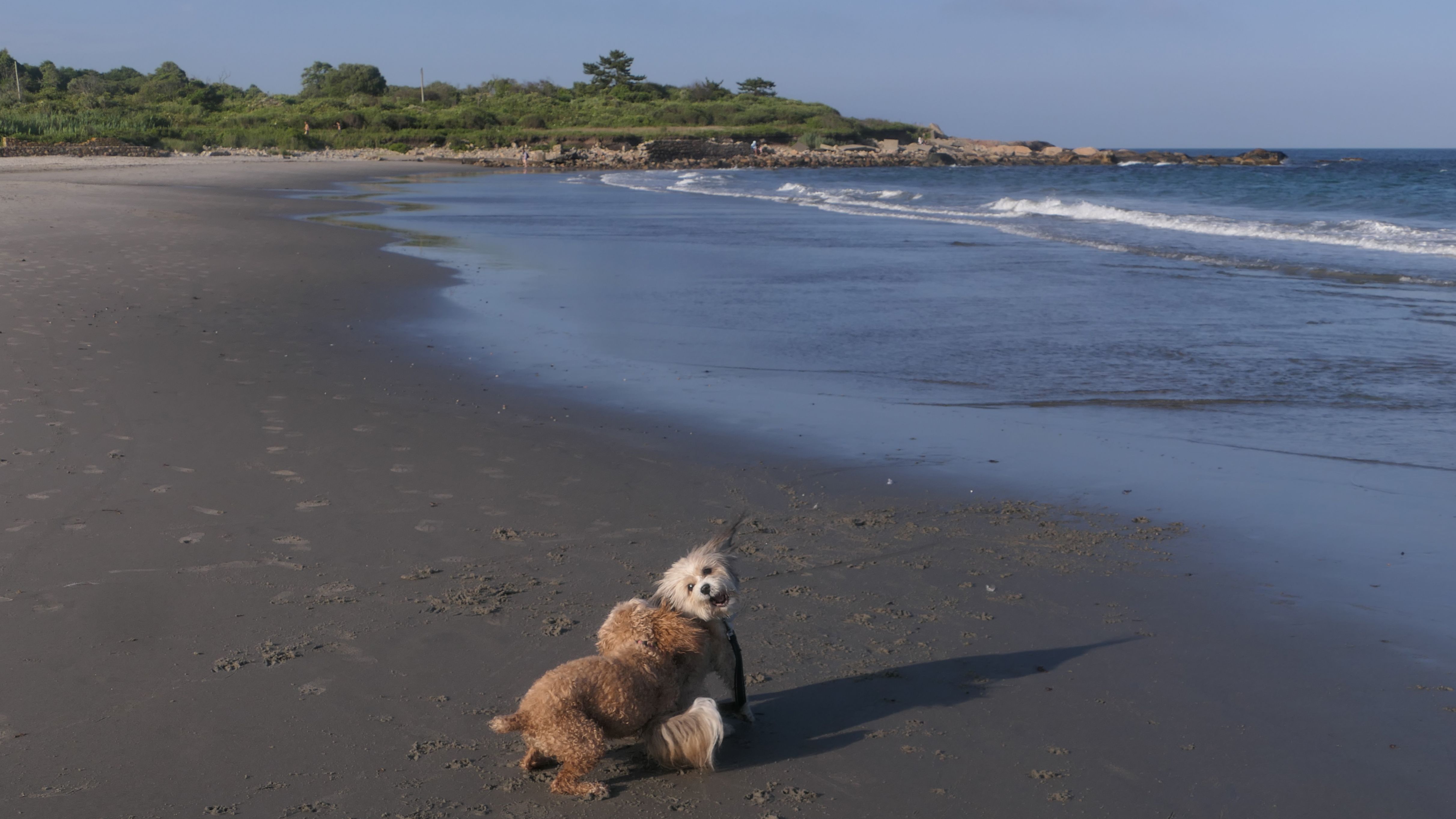
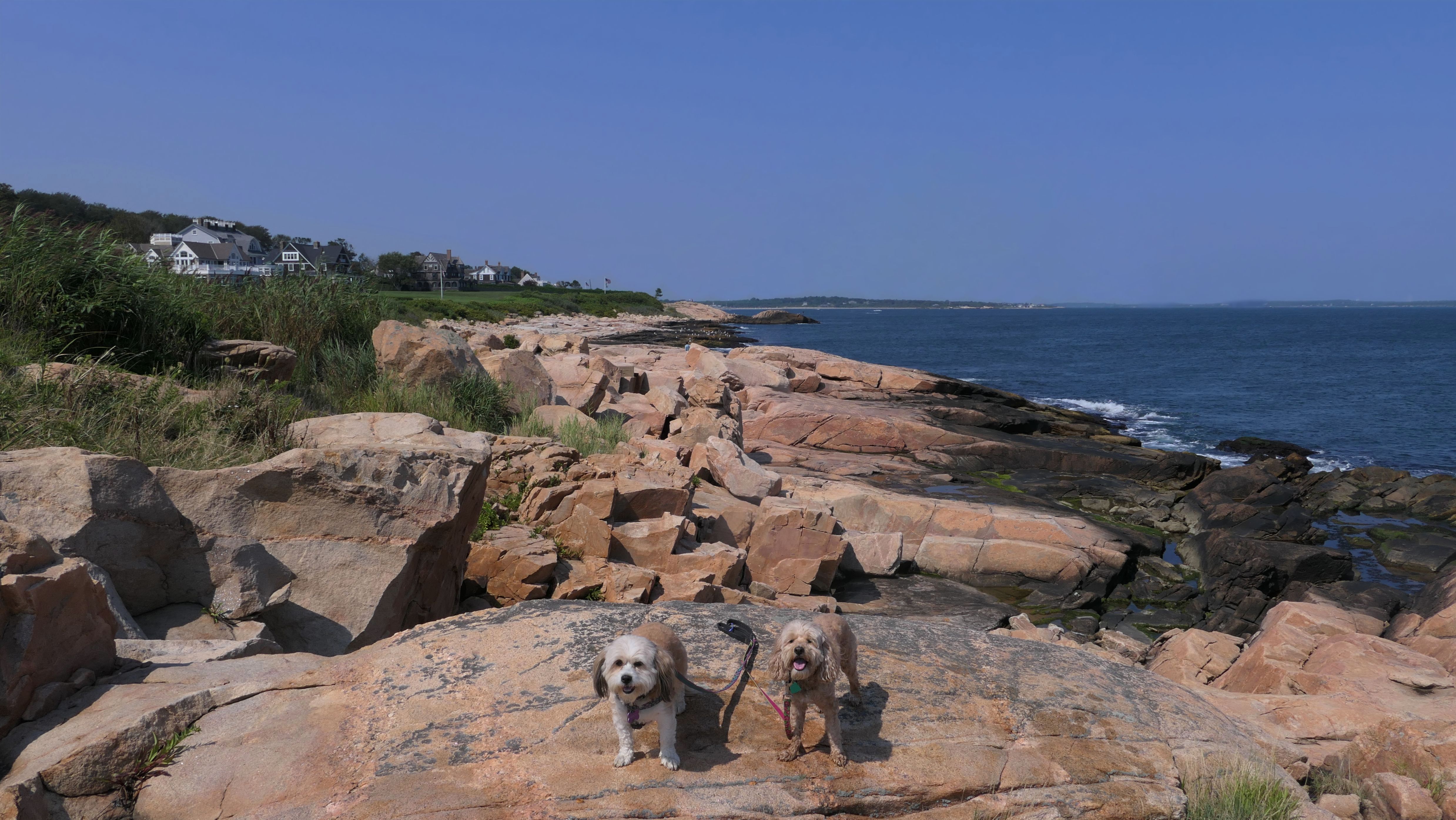
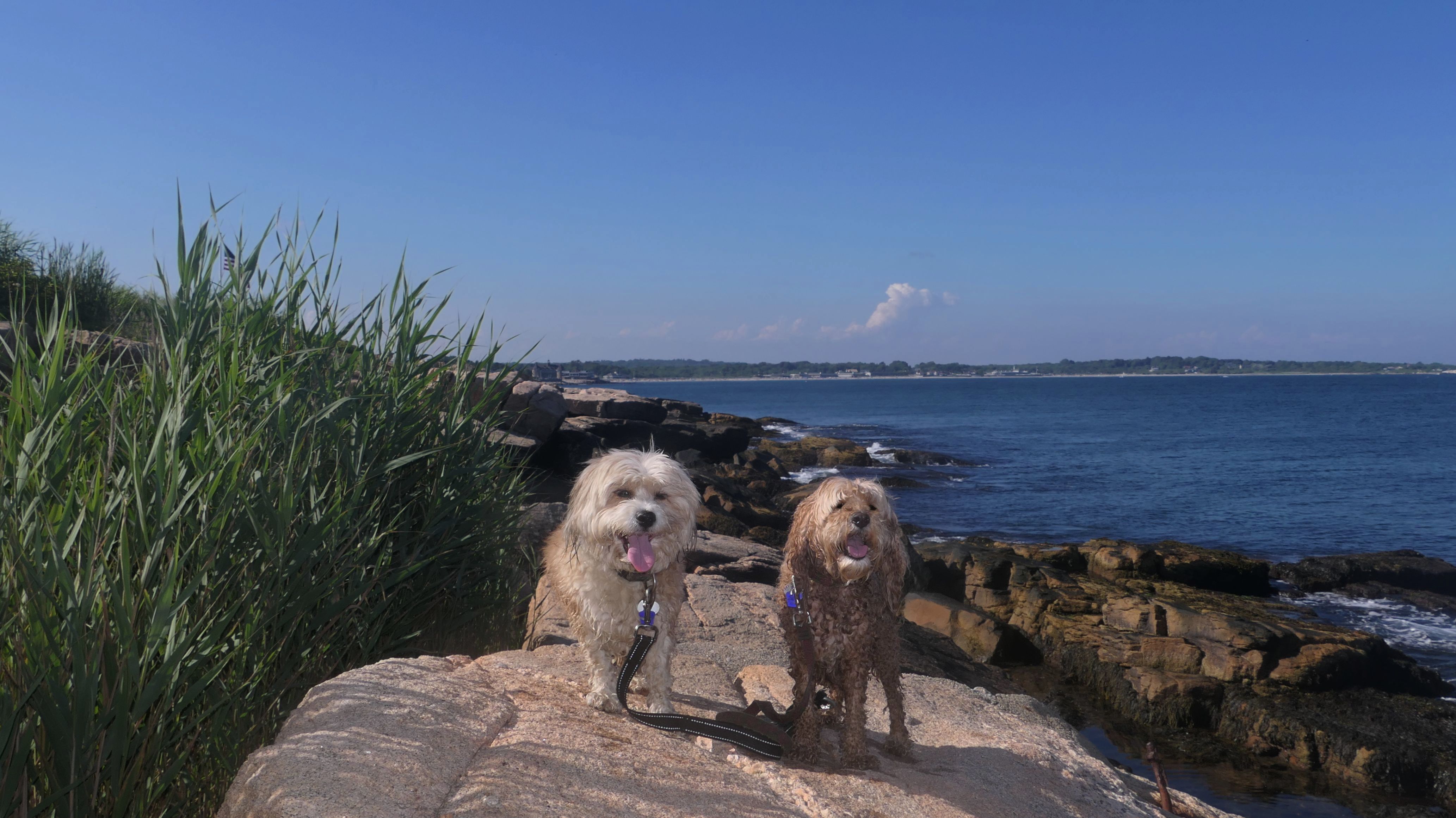
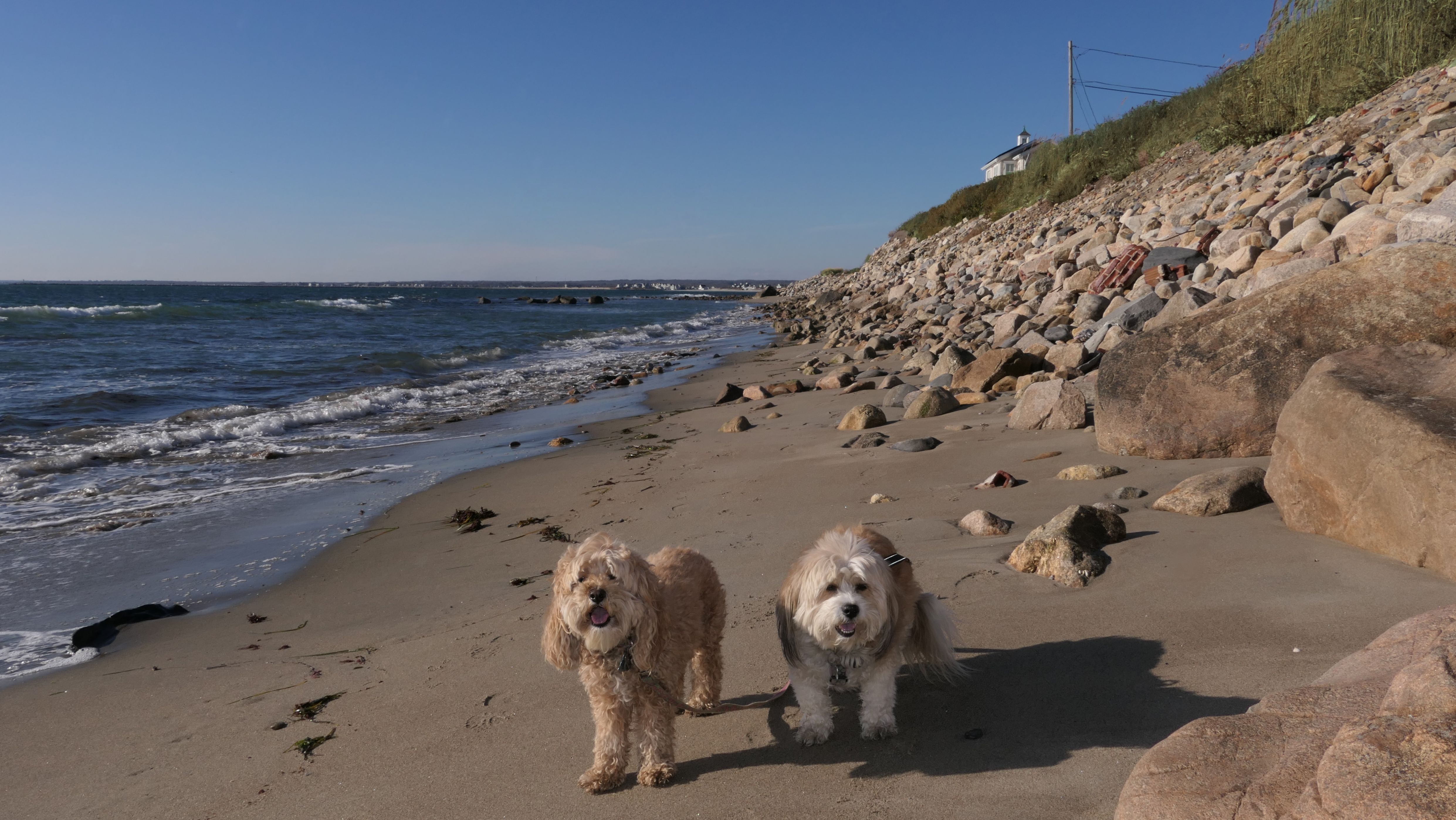
Black Point
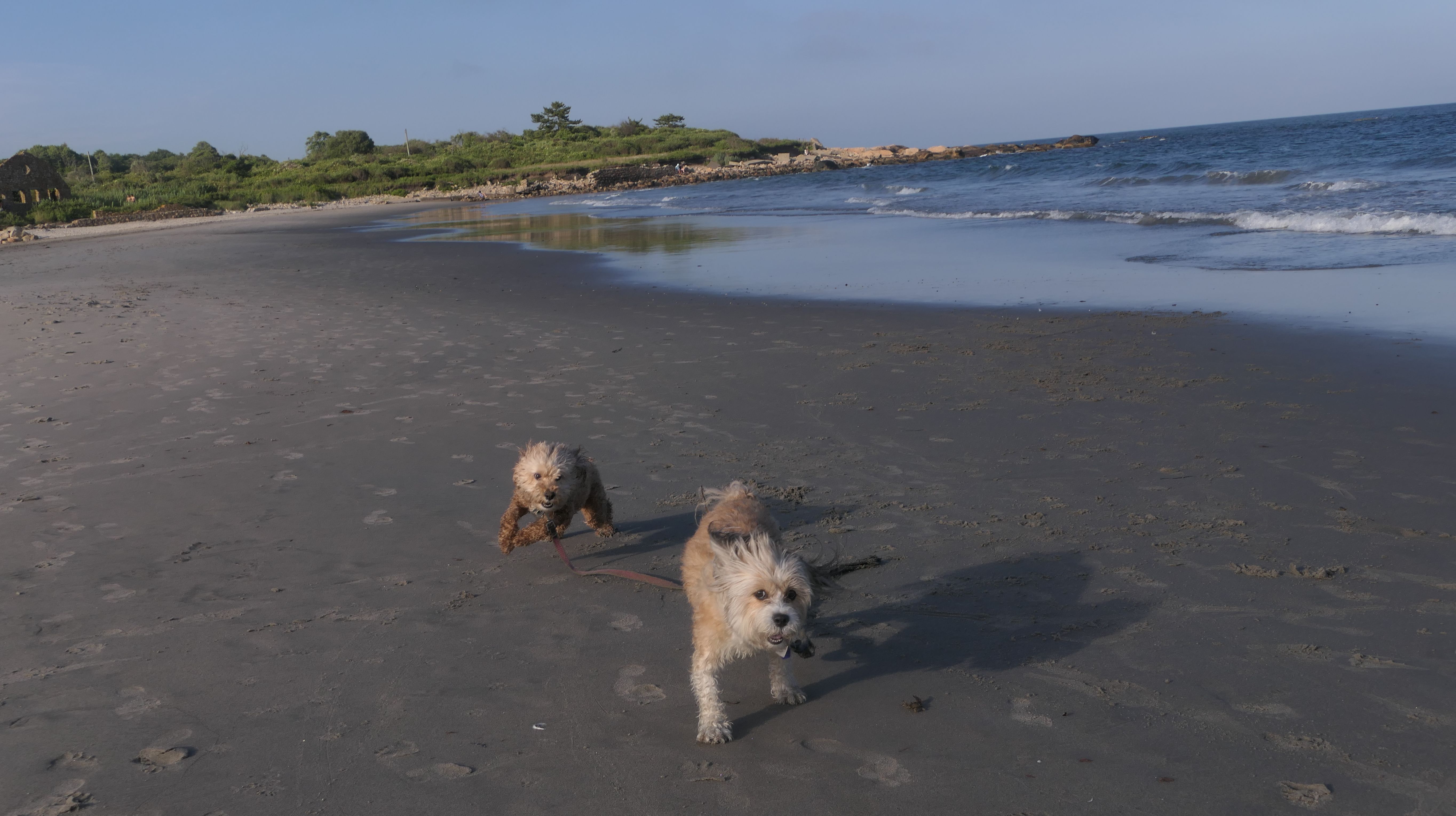
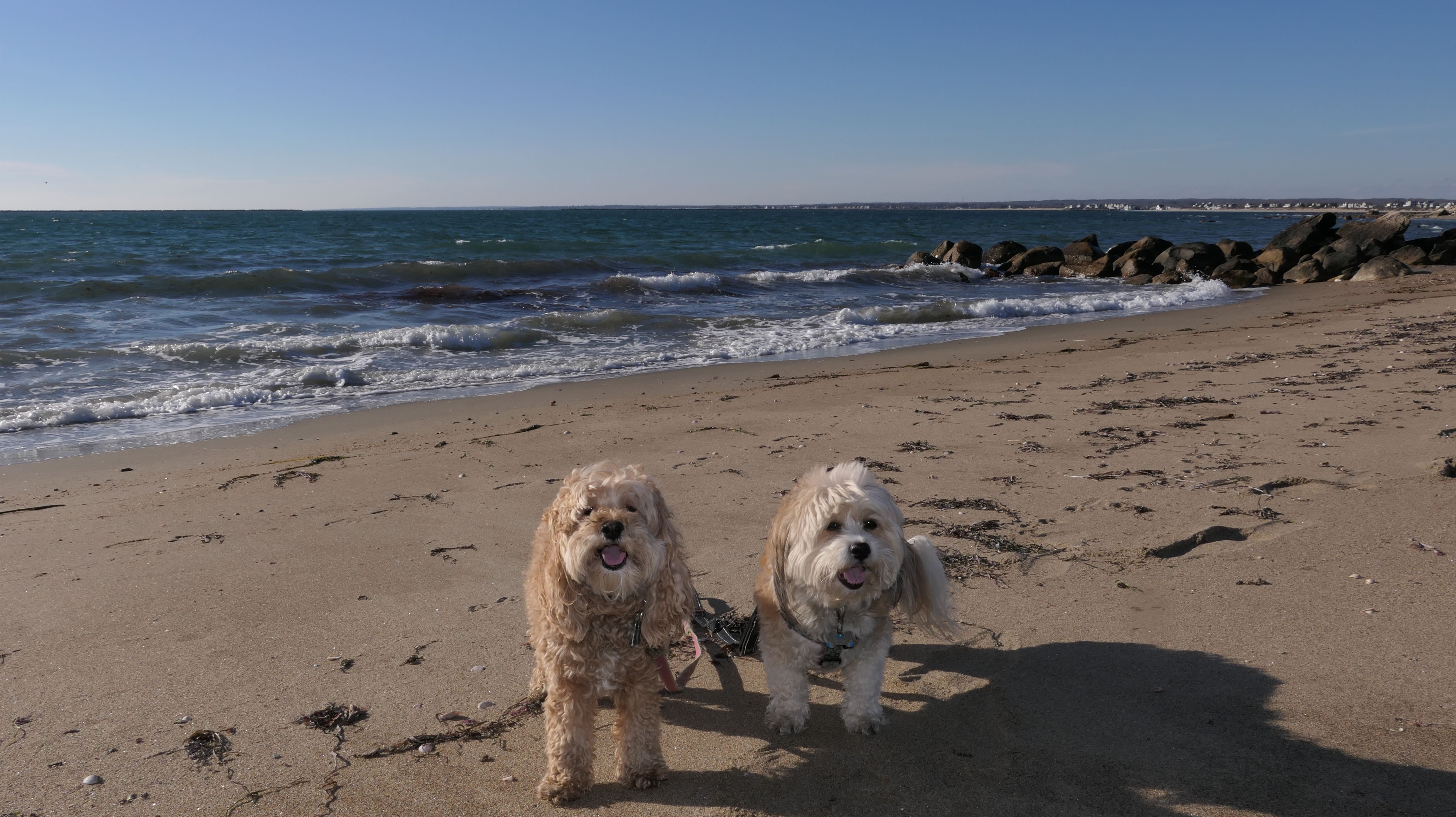
Date visited: 8/27/2024
While I always like to discover new places, sometimes it's nice to revisit places we've already visited. This is one of my favorite trails, and it had been over two years since our first visit. As I mentioned in the previous write-up, it's a nice trail with wonderful ocean views, and it has the ruins of the old Winswept mansion at the end of it. It's well worth a second visit! There were less people here this time around, so we were able to get right down to the shoreline in some of the areas that were too crowded last time. Like last time, we were able to visit the northern end of Scarborough North State Beach as well.
More Images
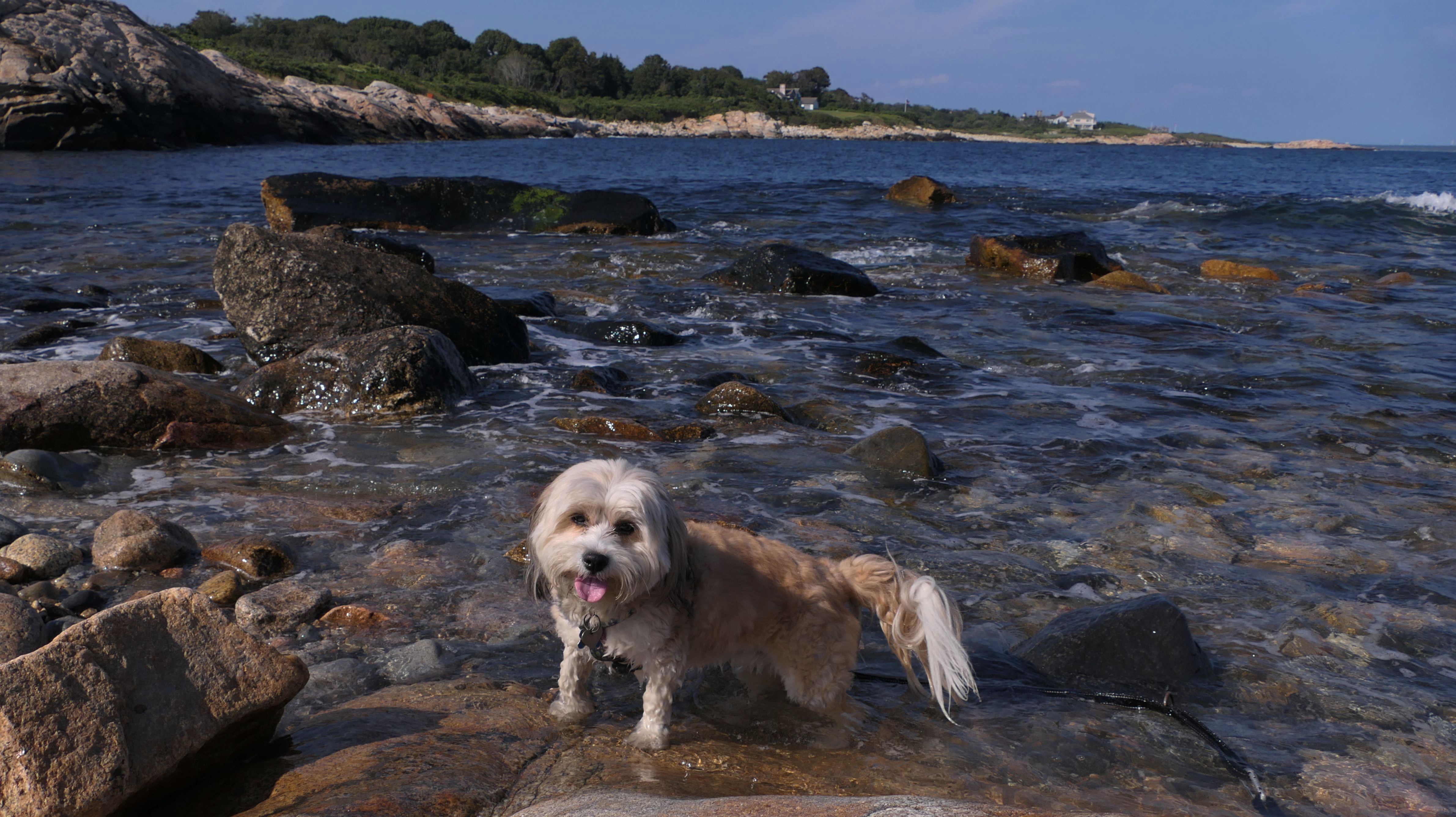
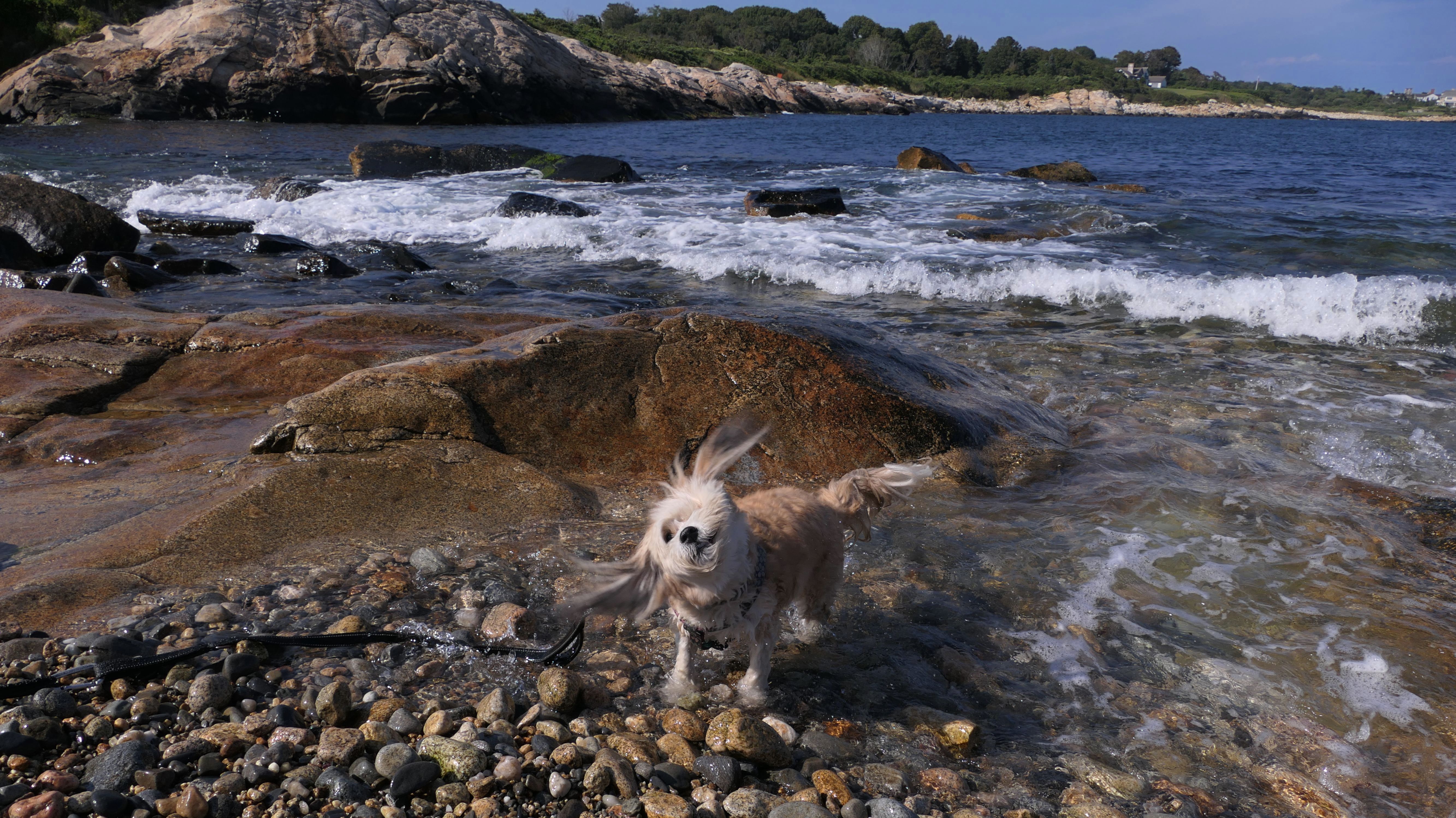
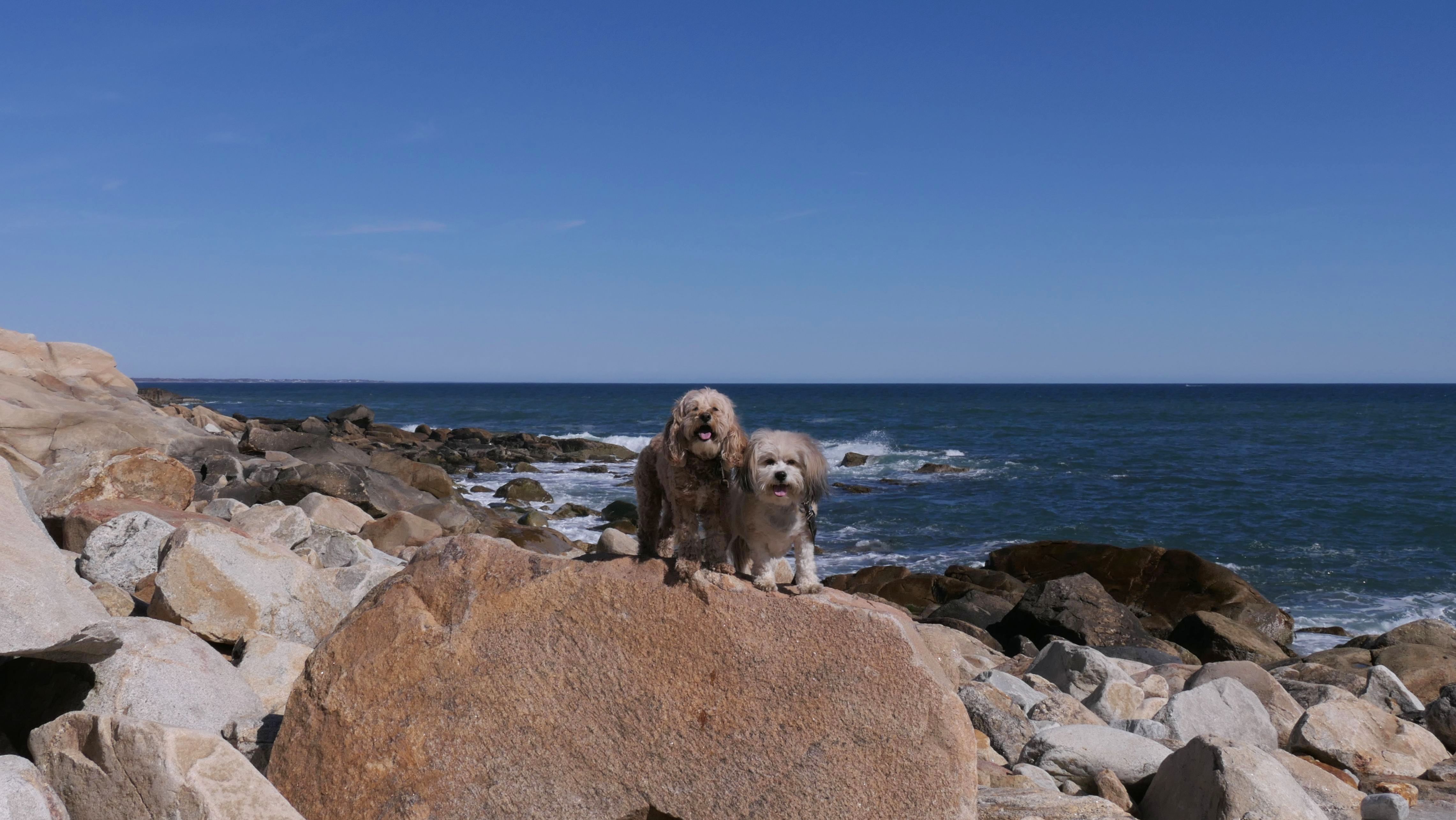
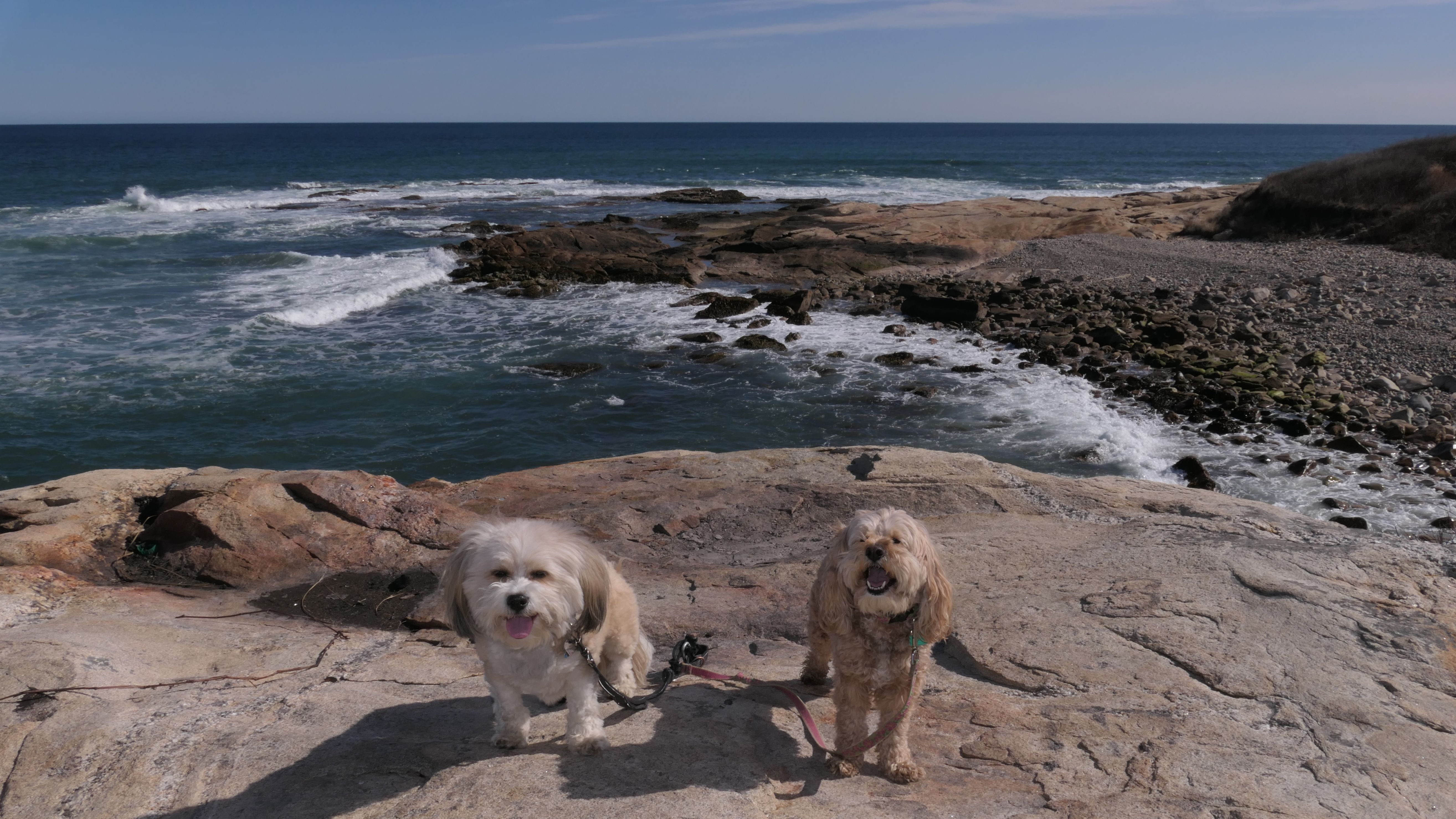
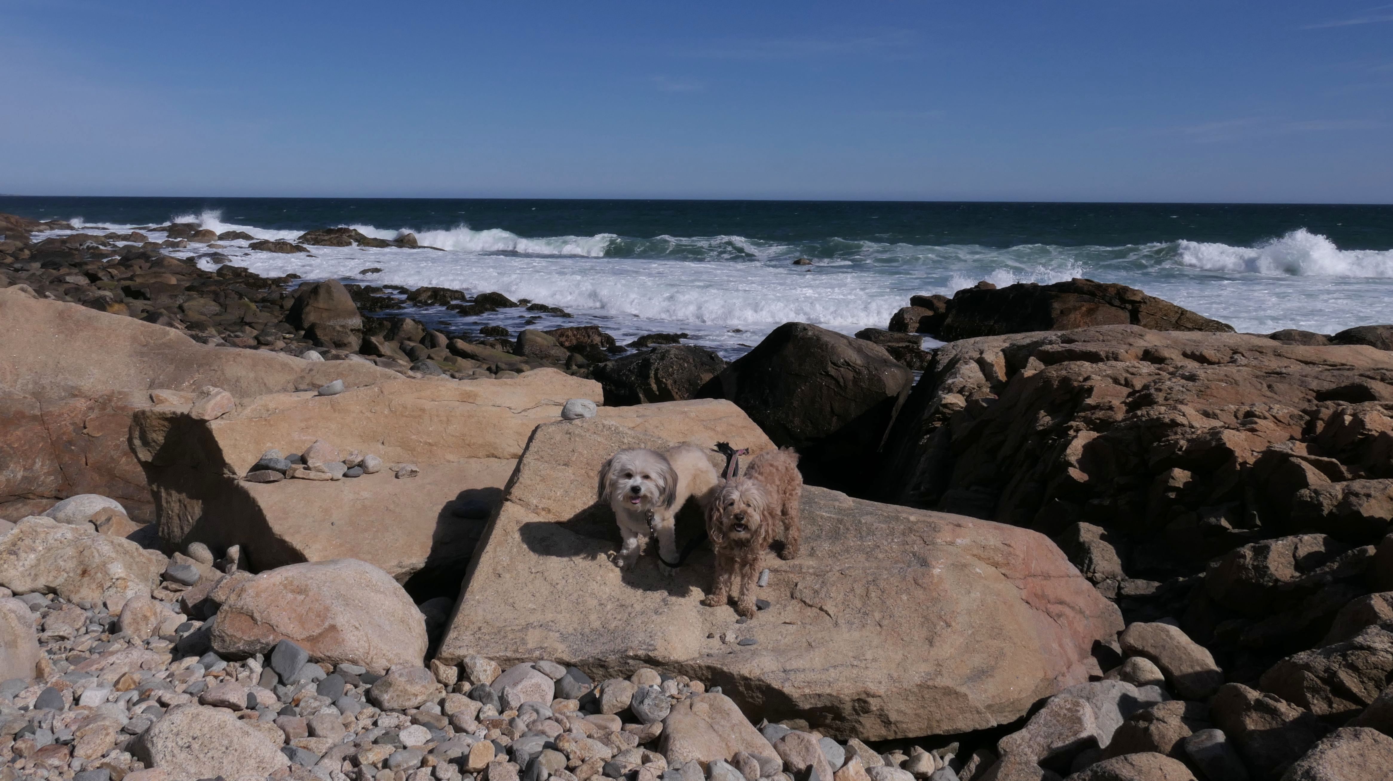
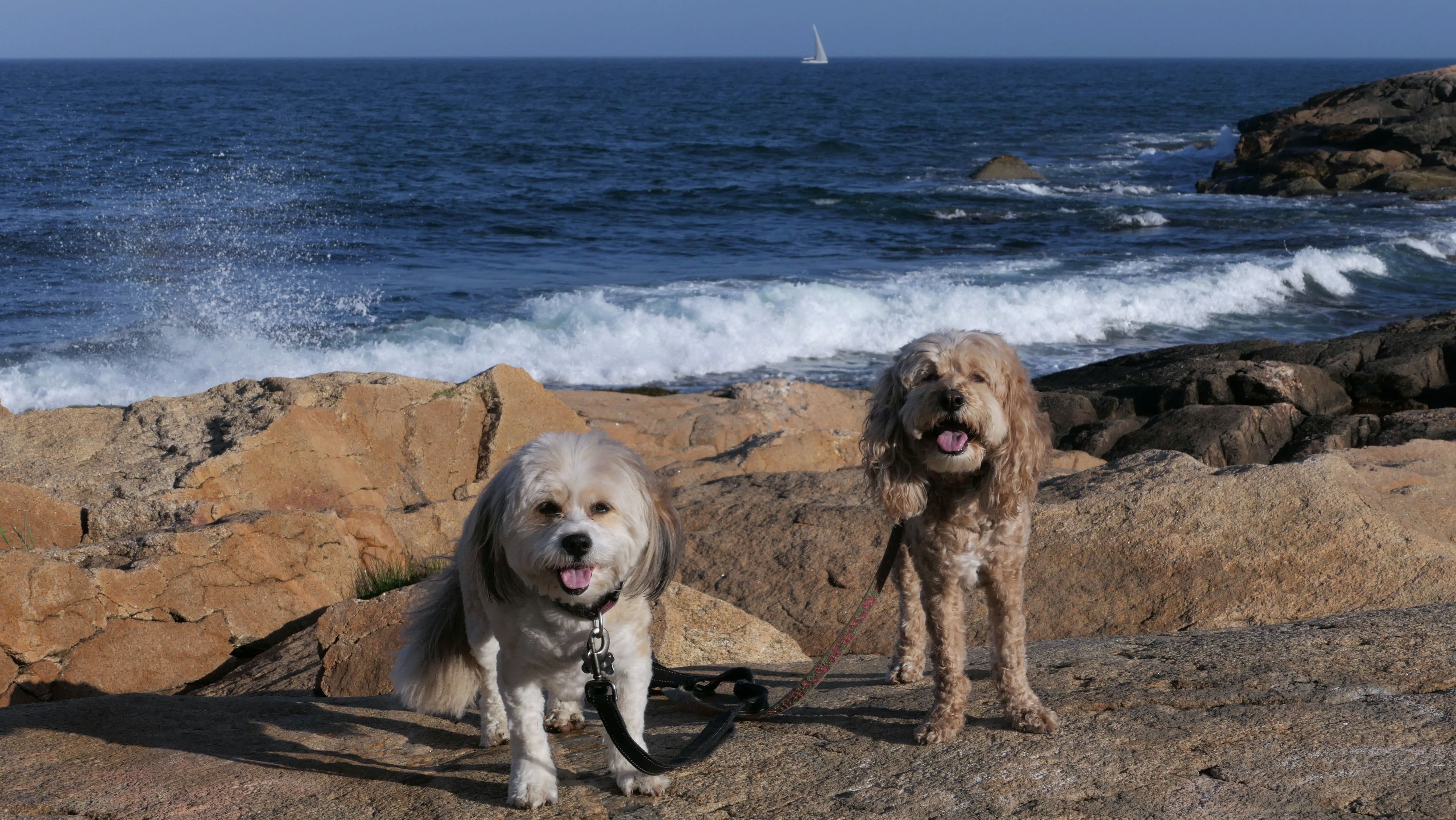
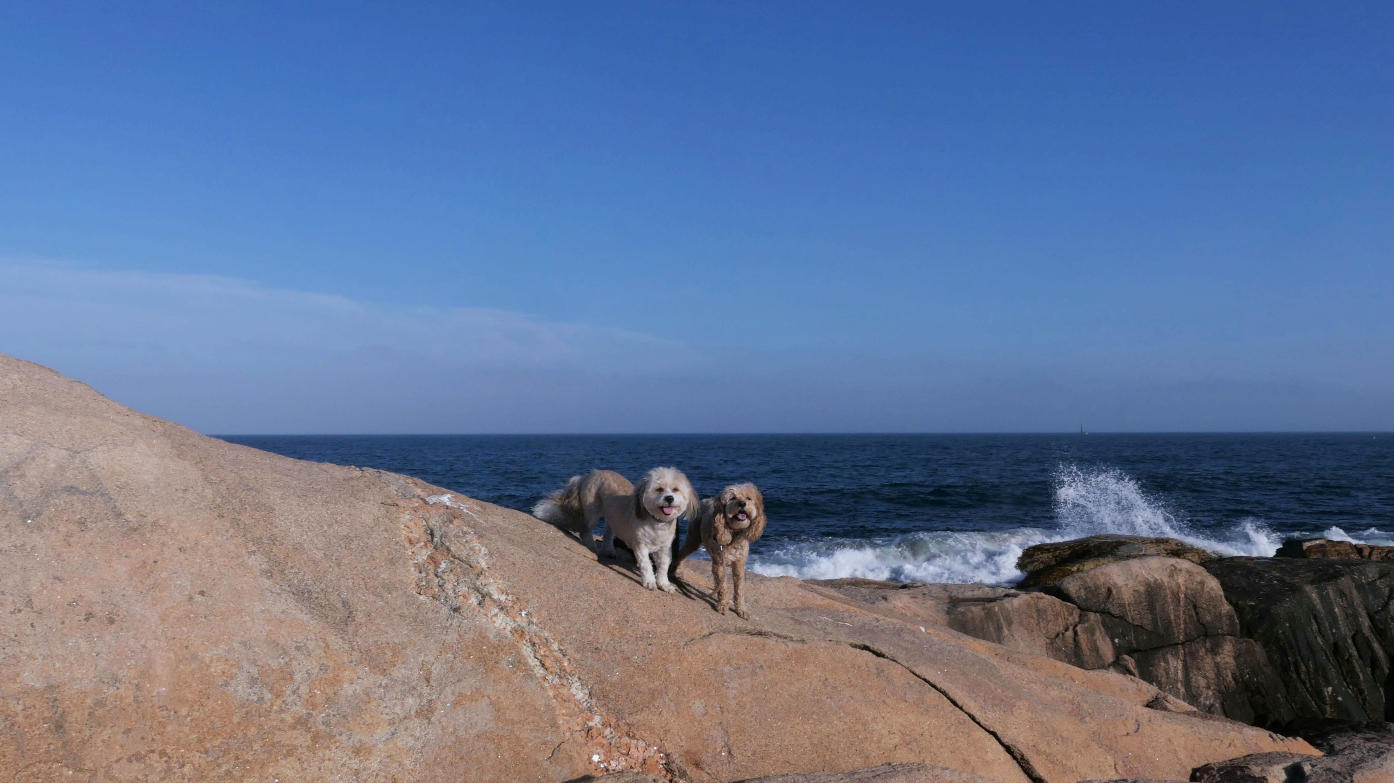
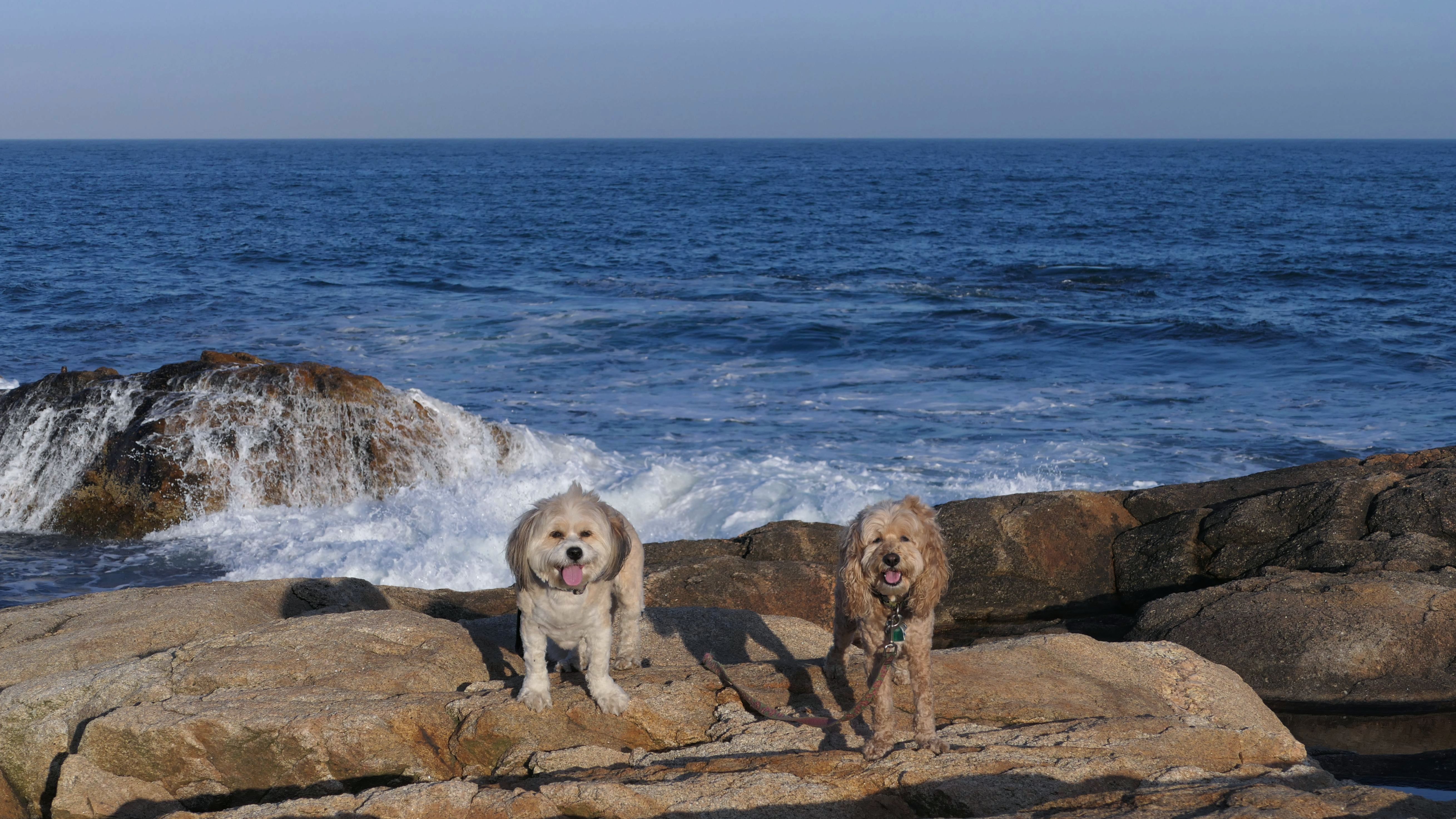
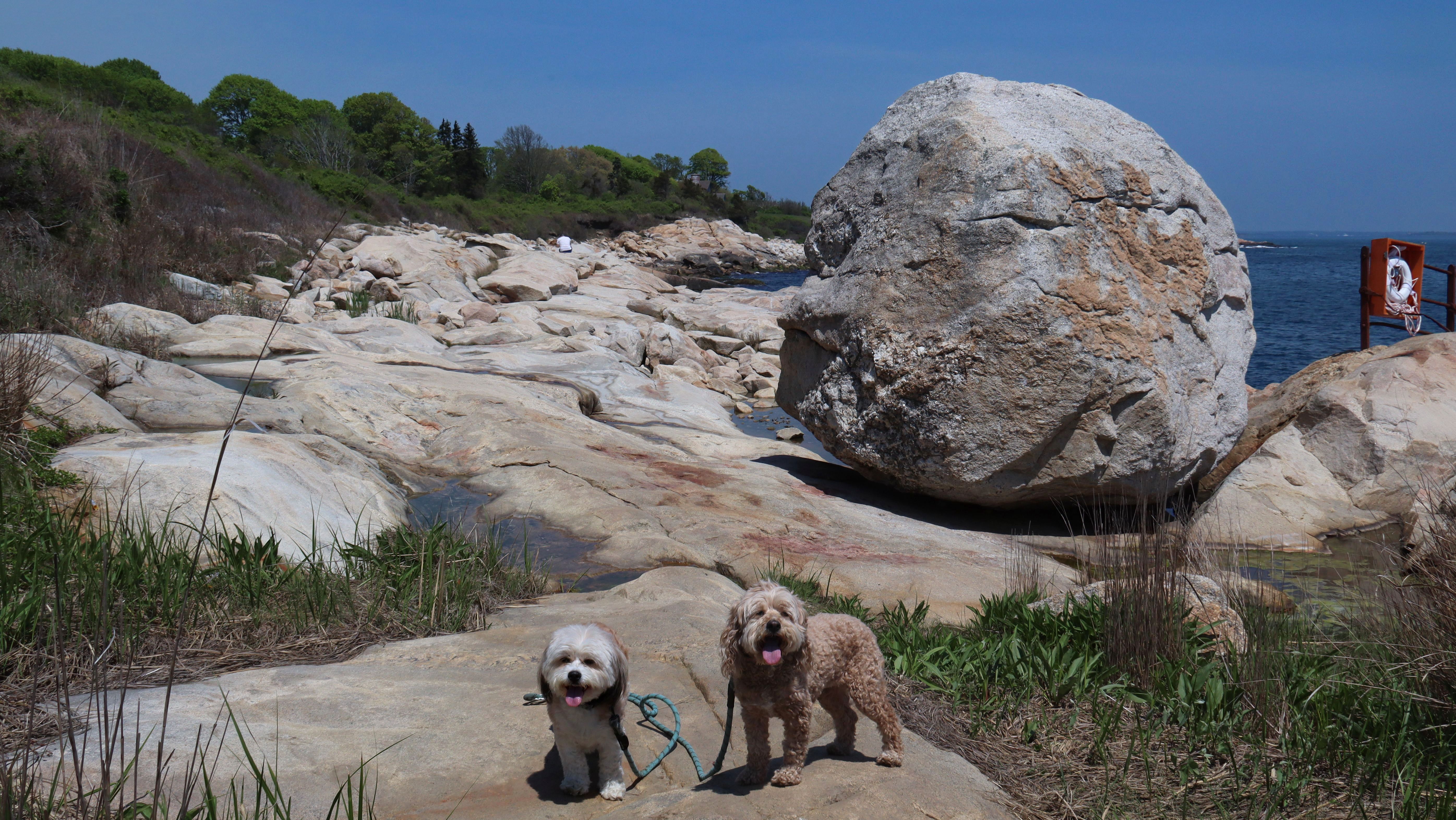
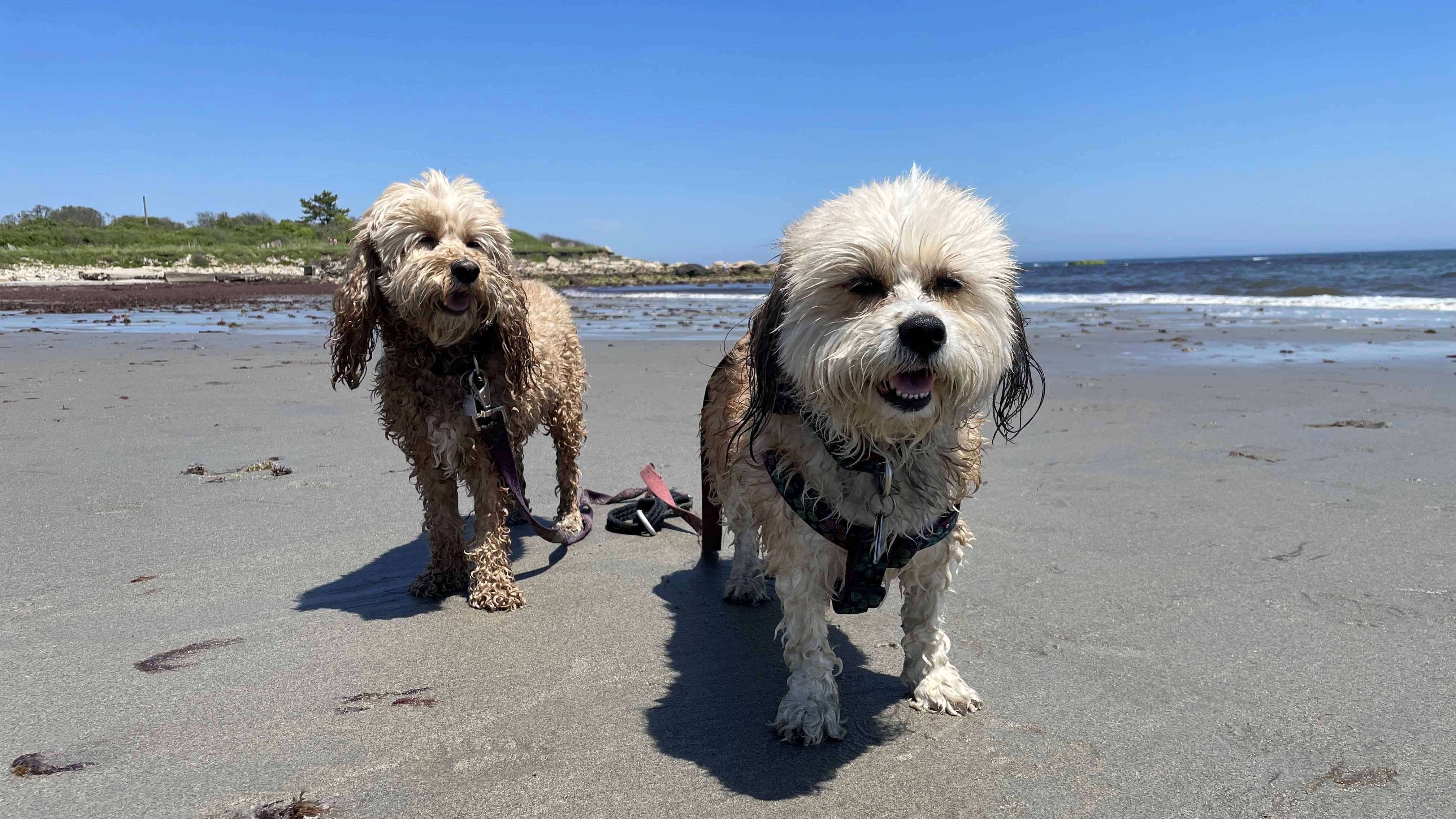
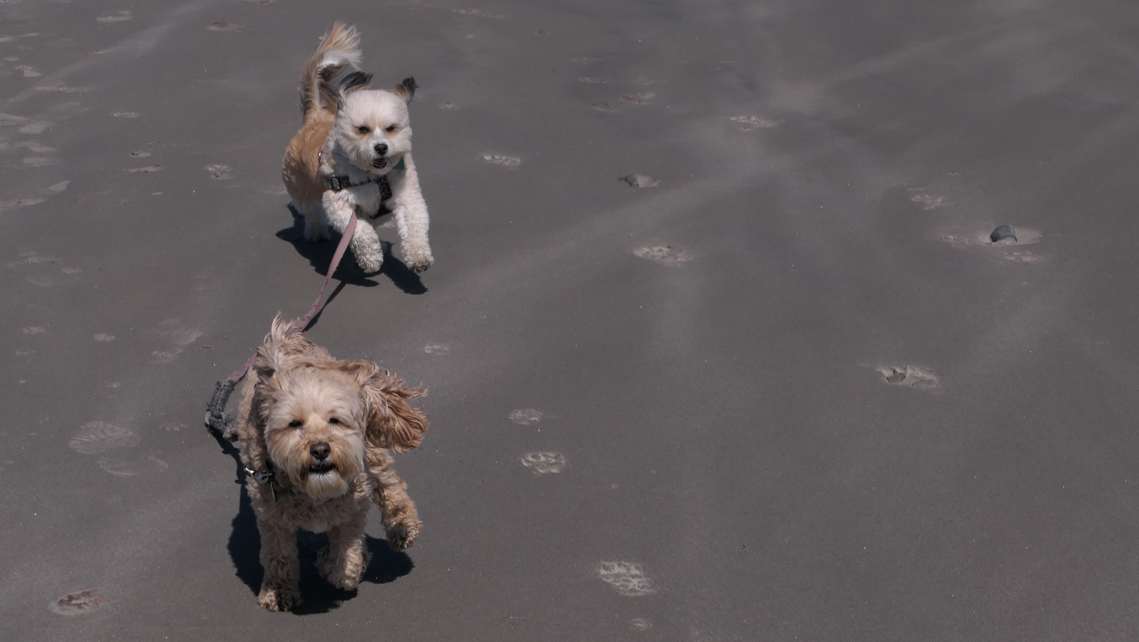
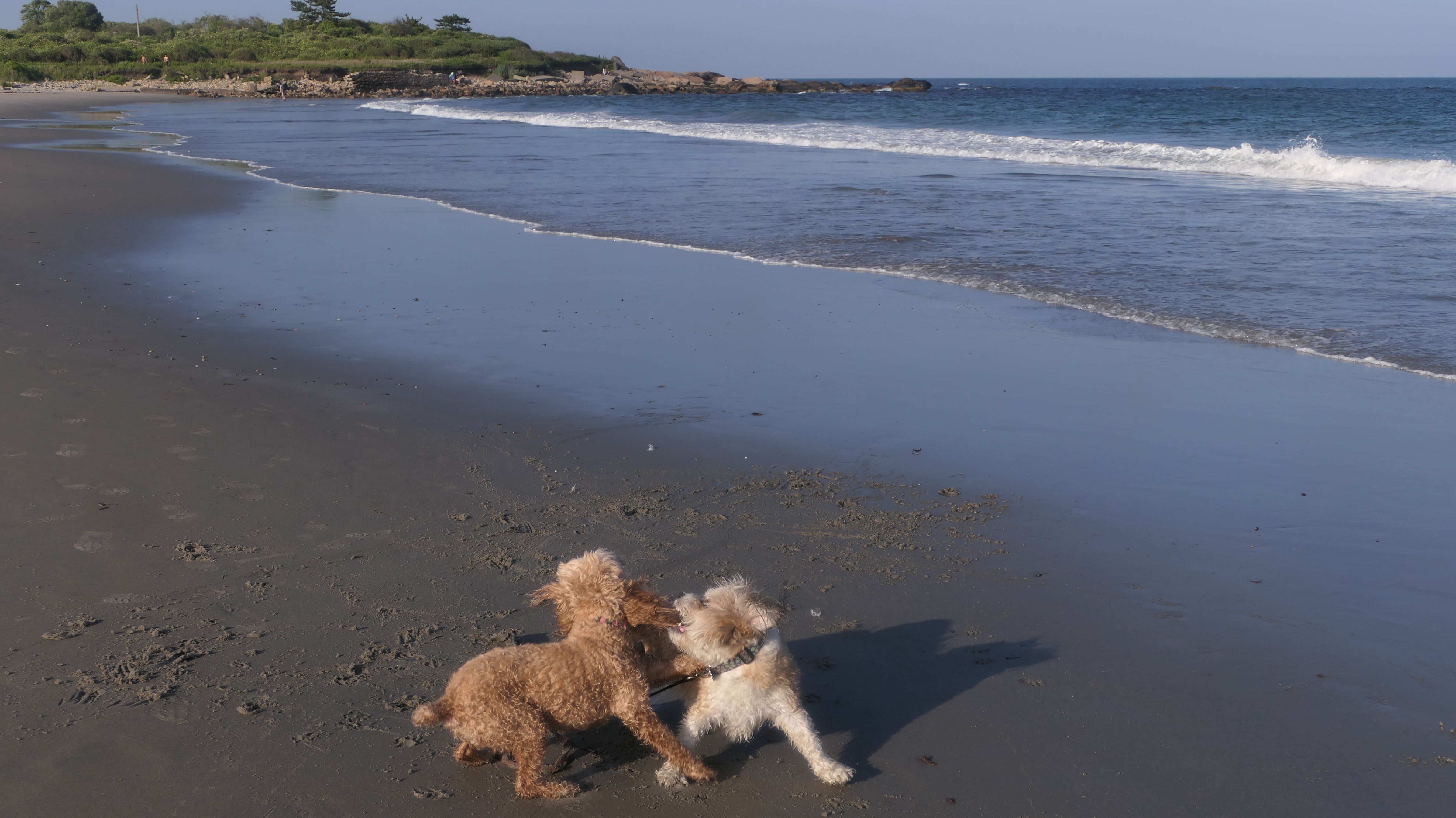
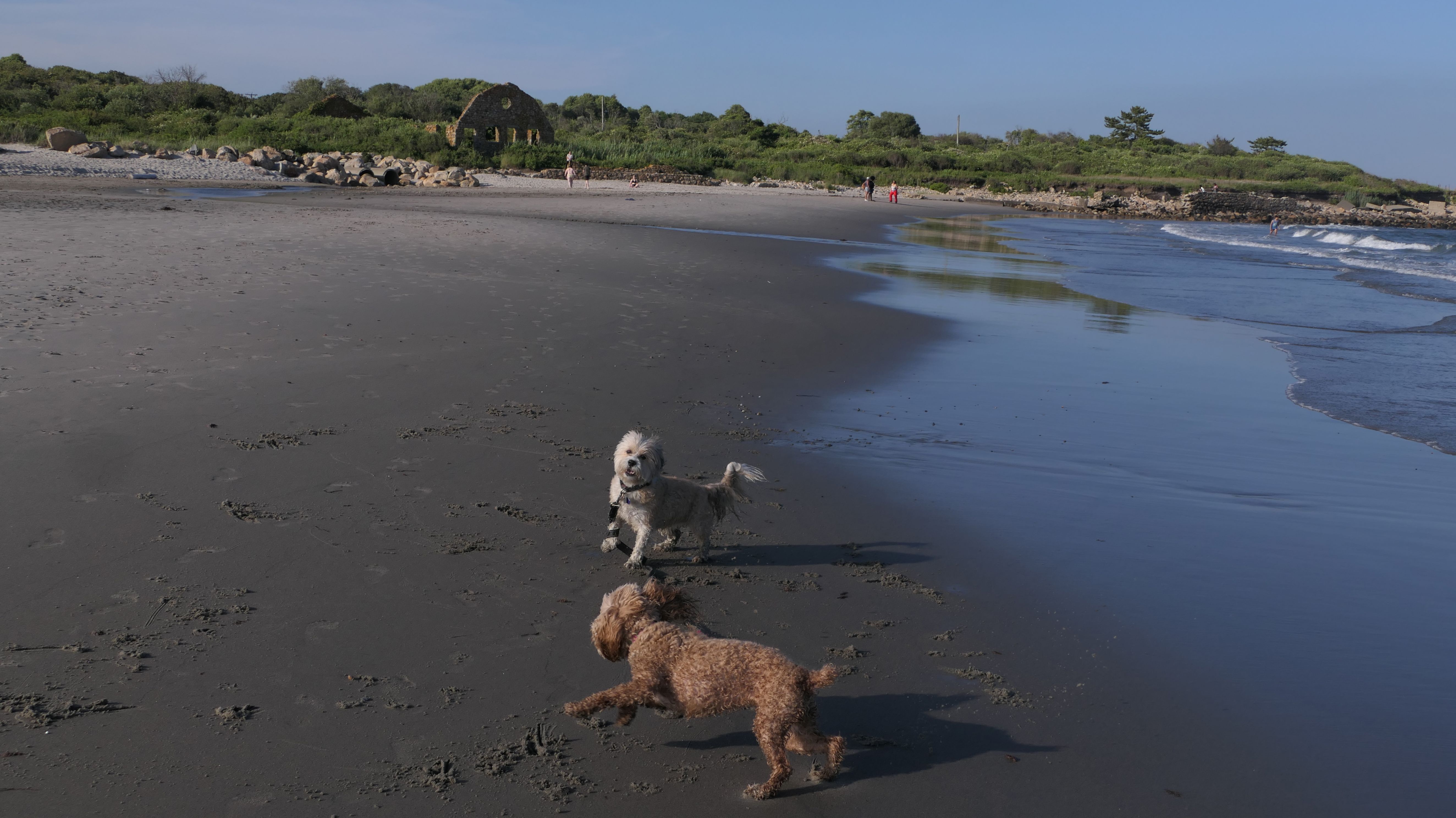
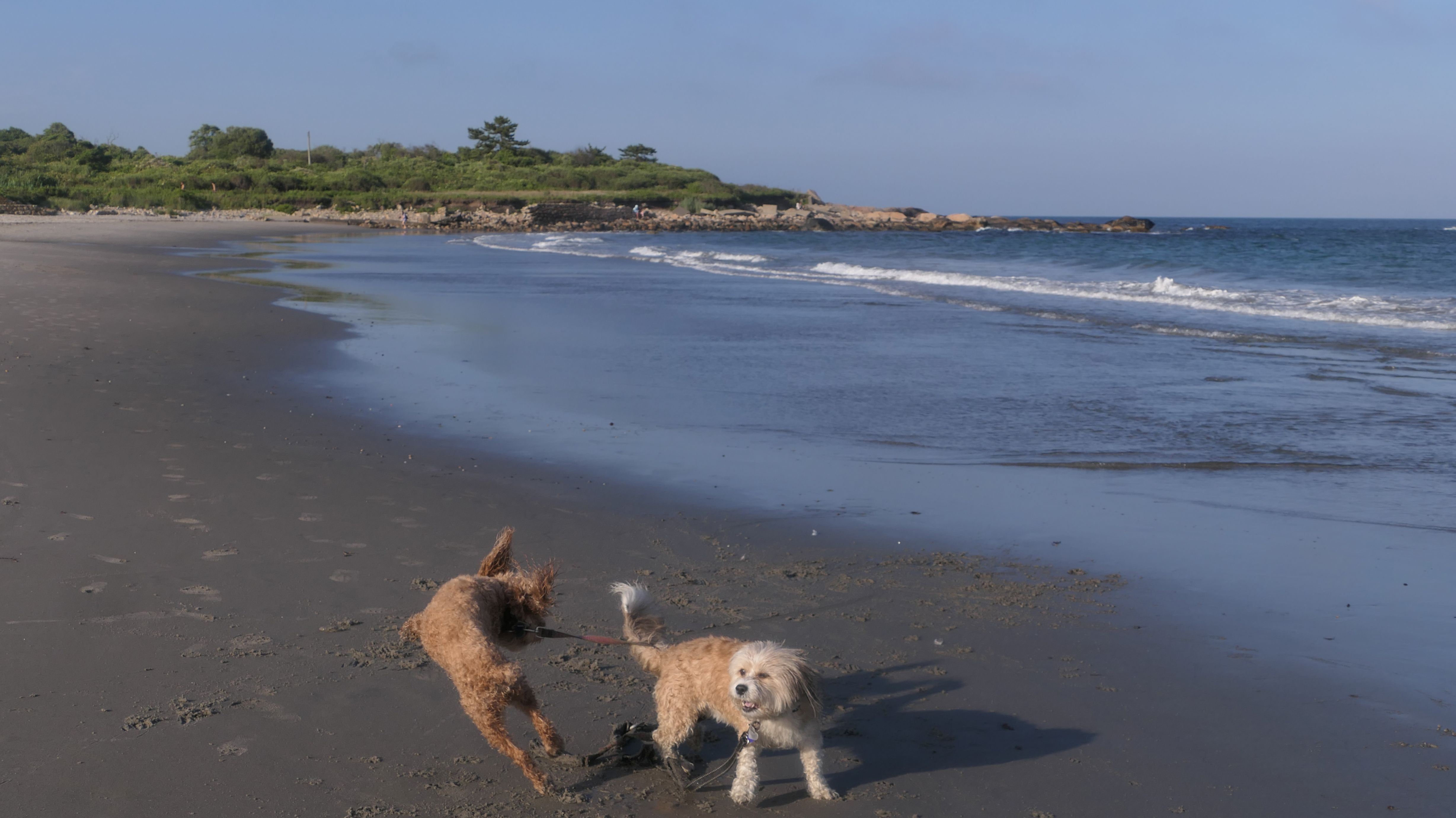
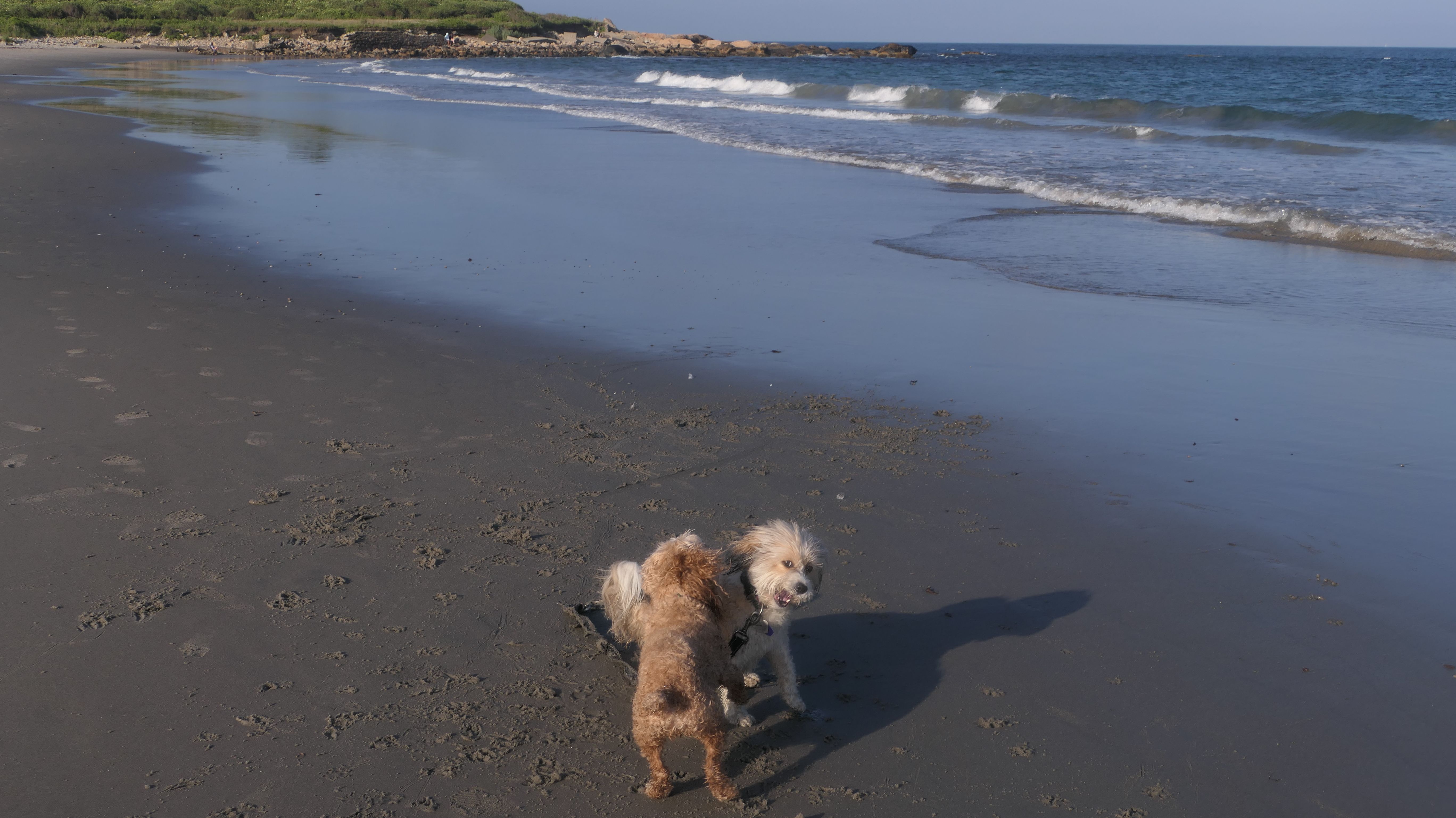
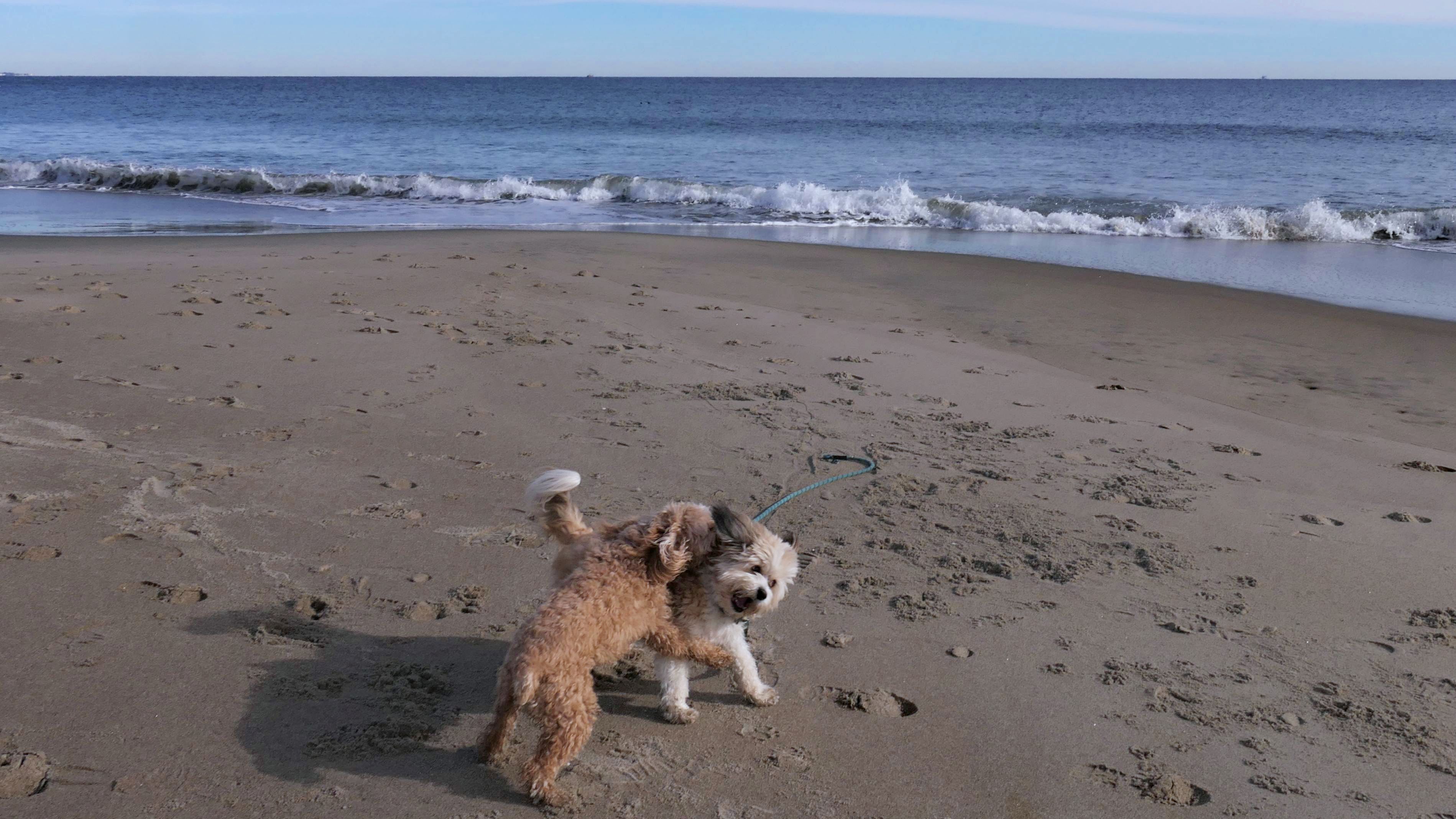
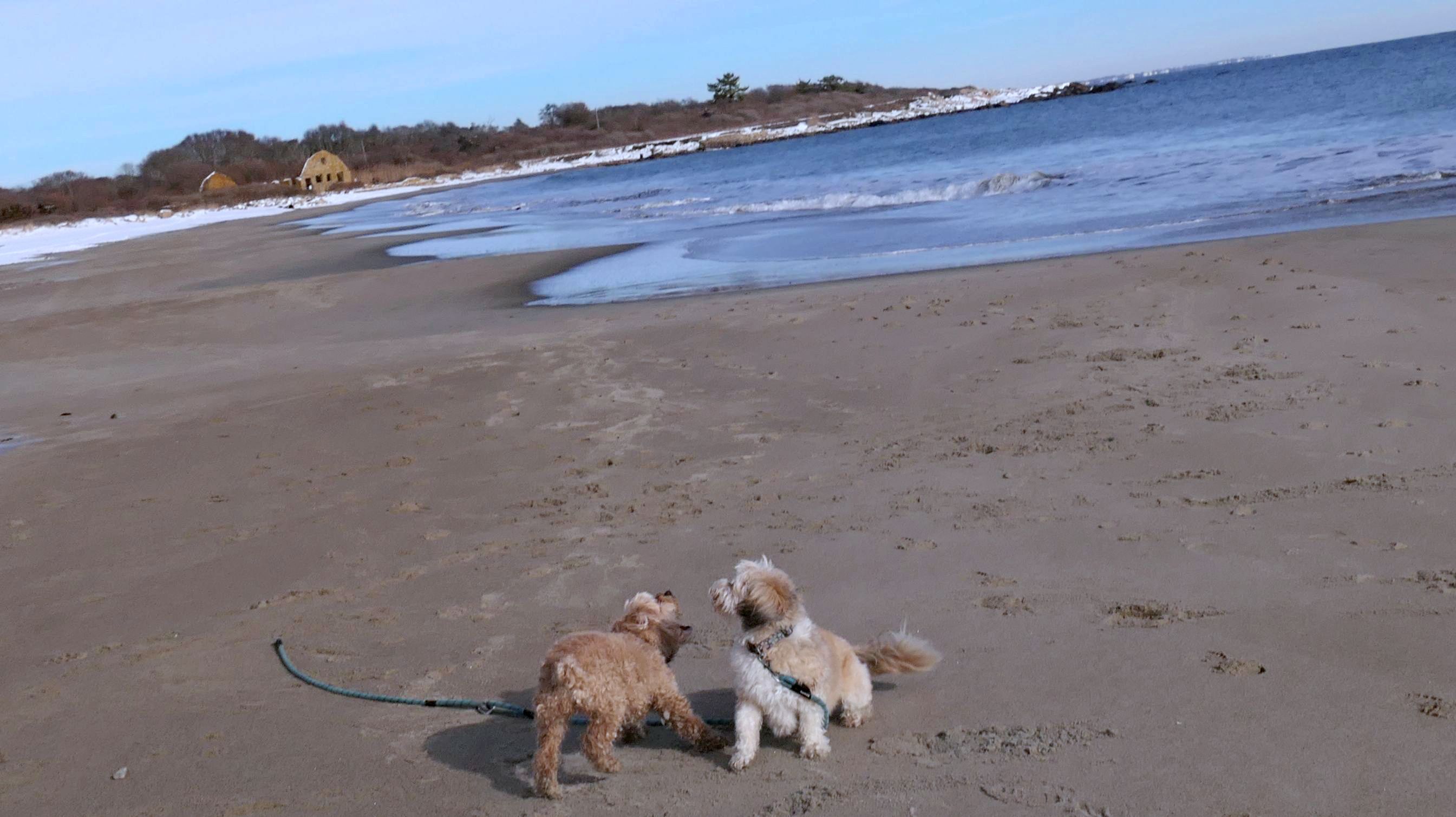
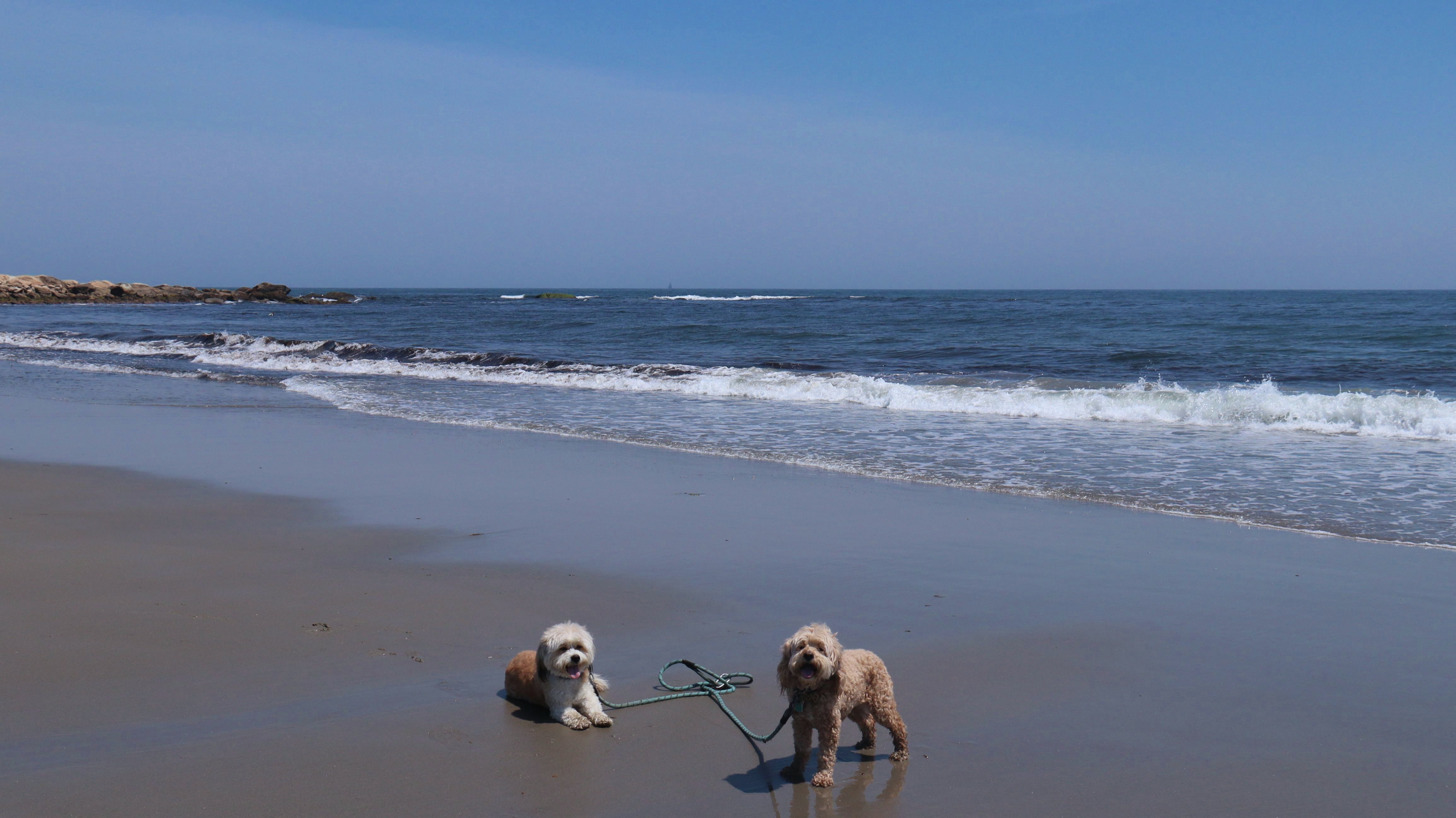
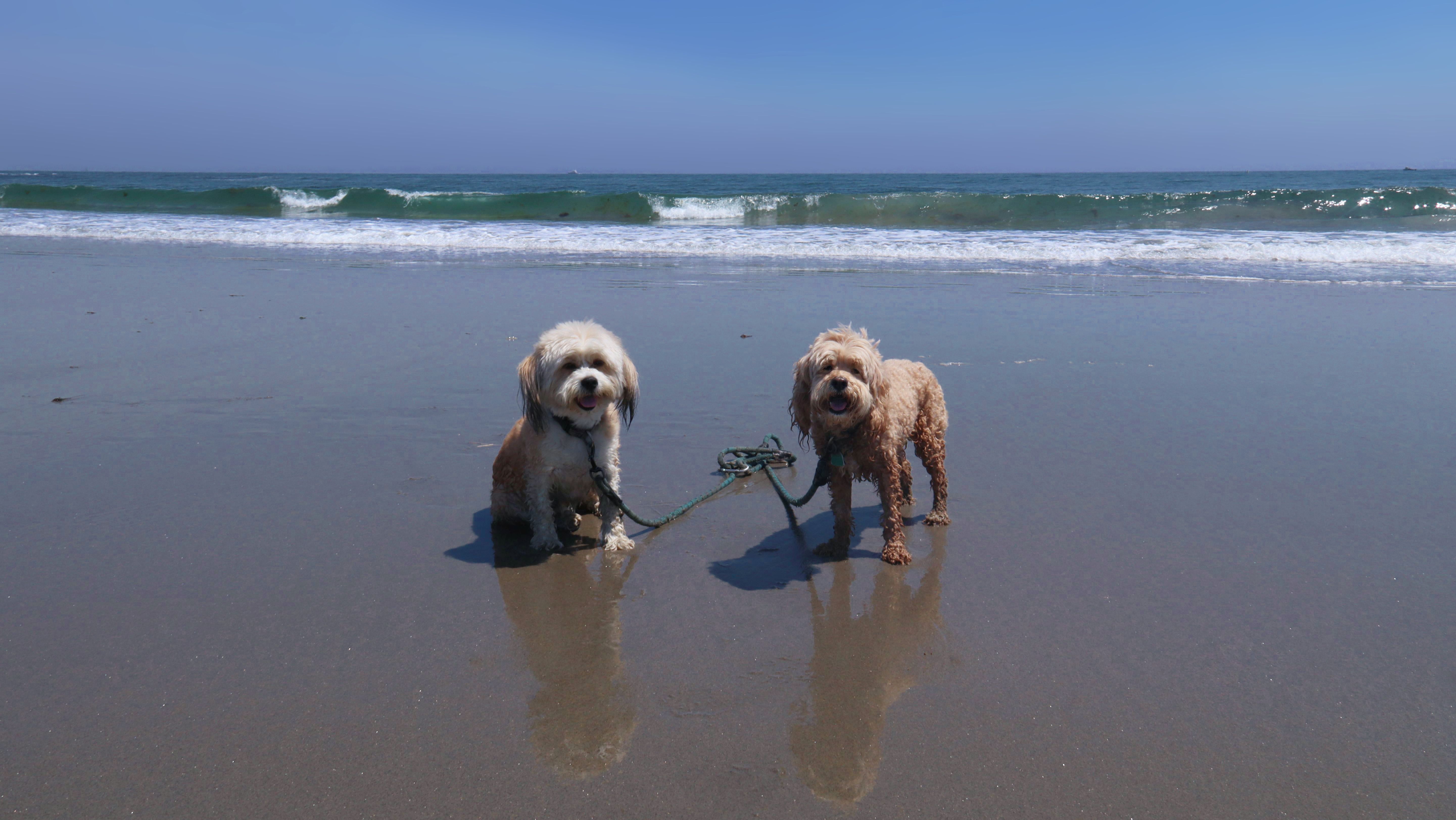
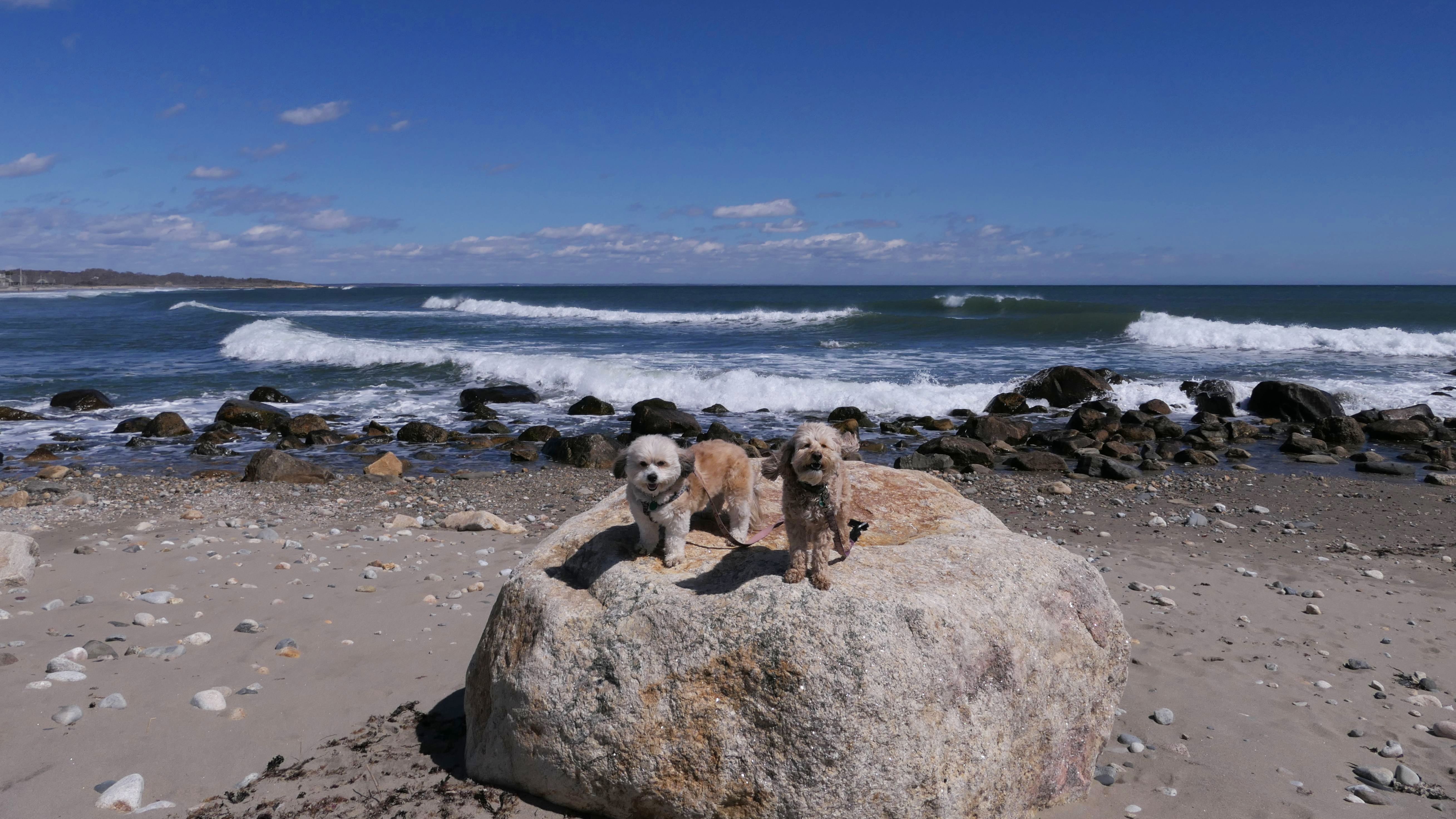
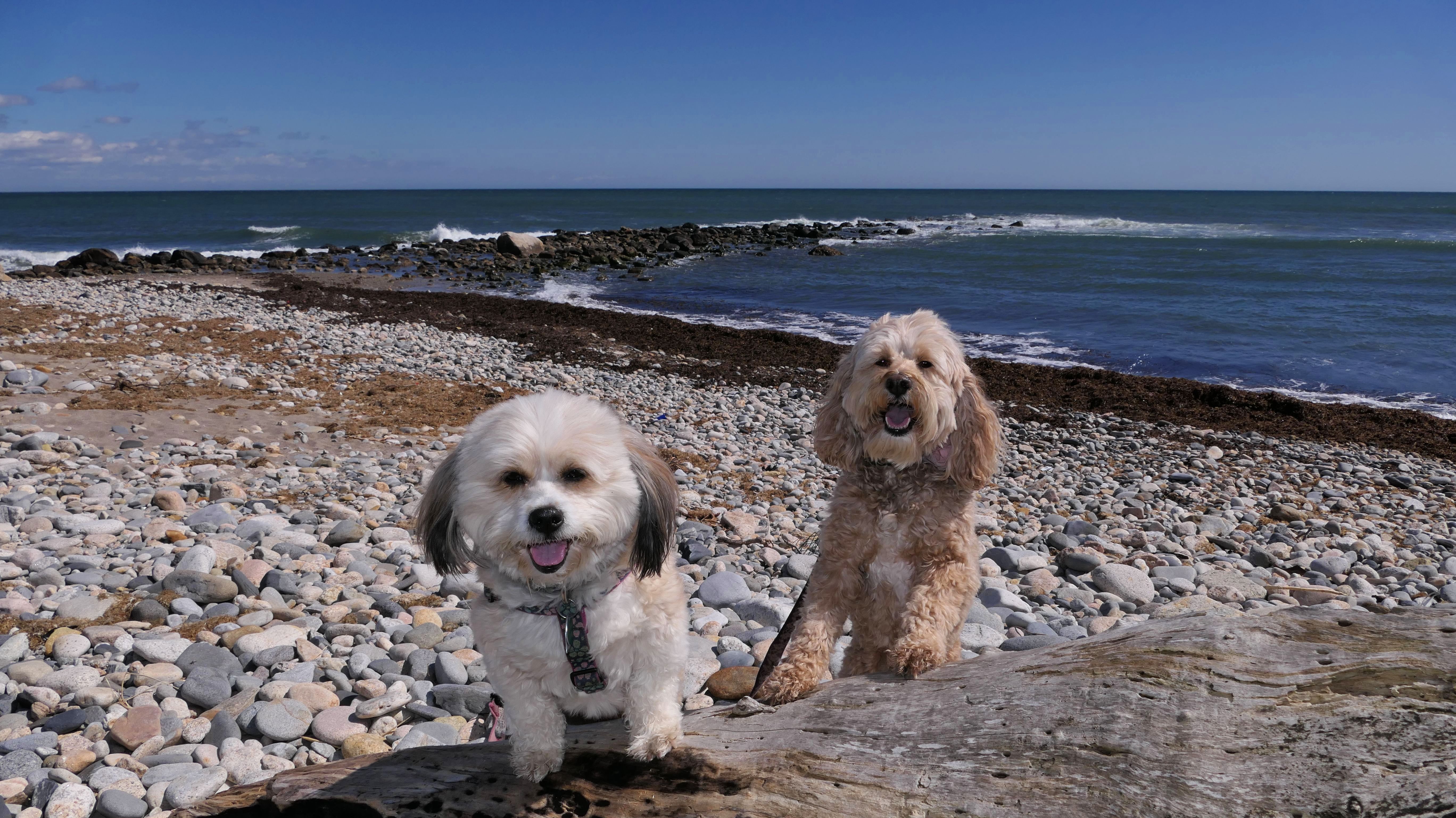
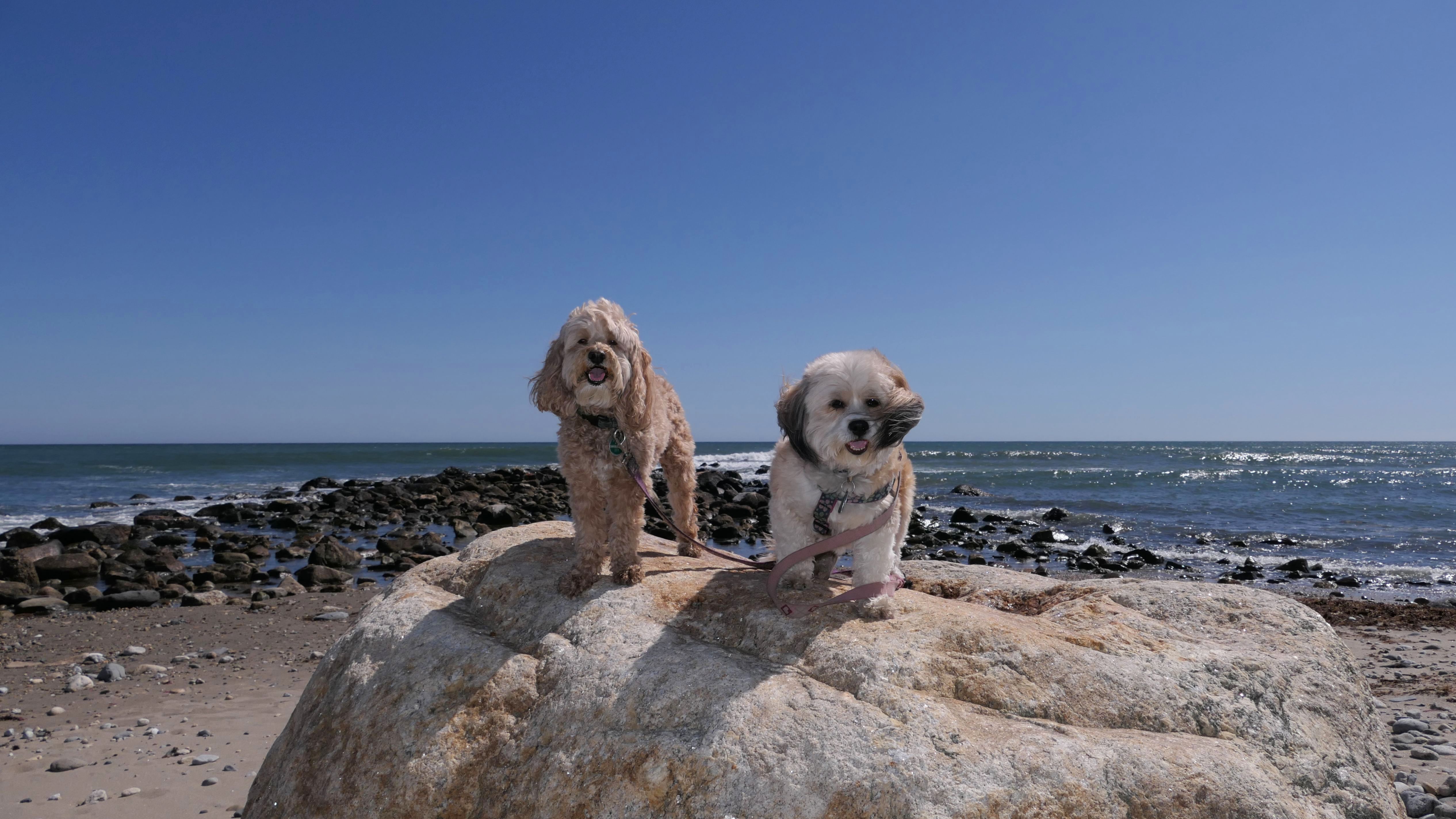
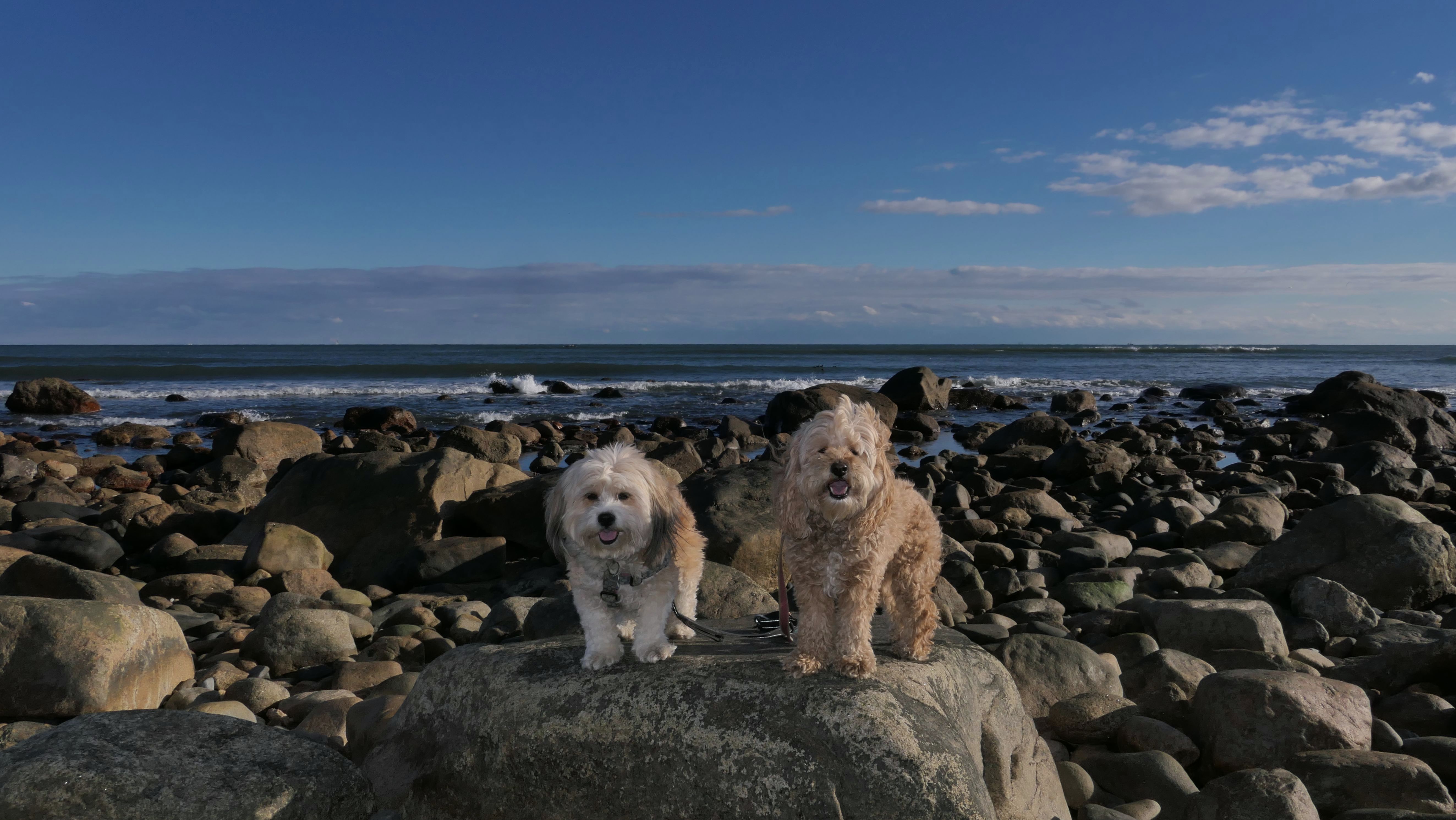
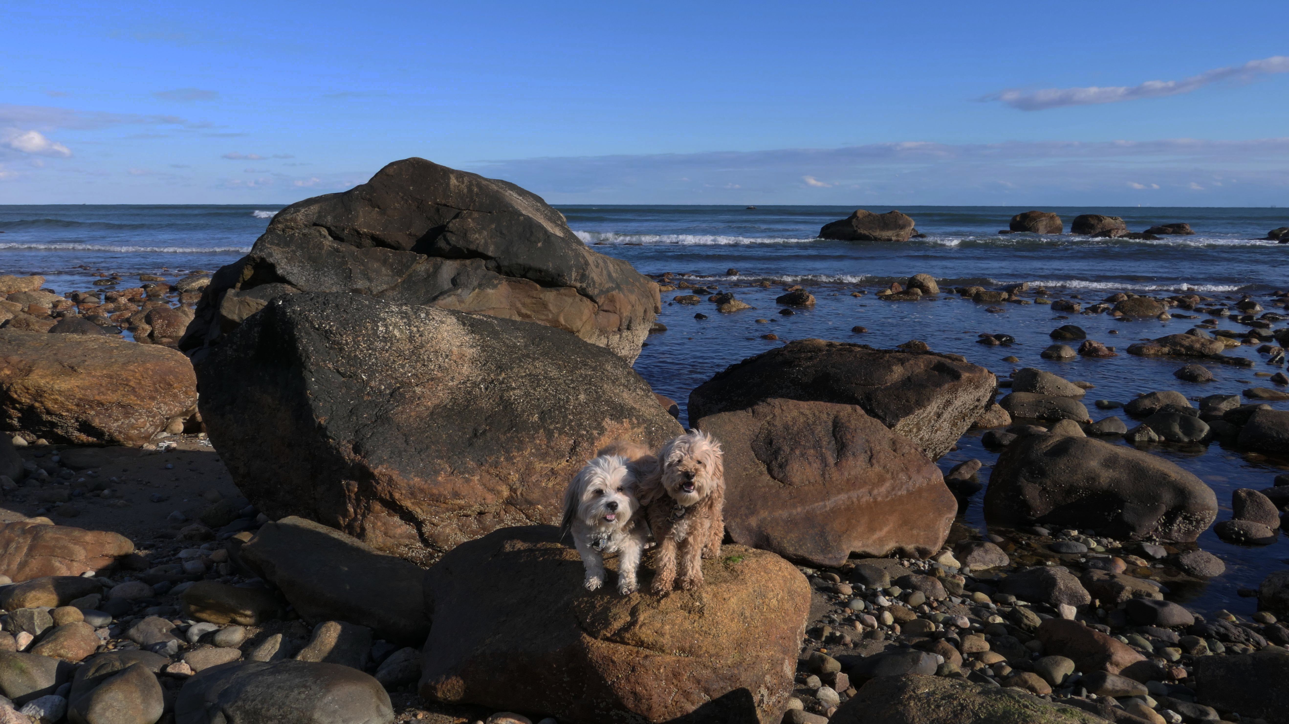
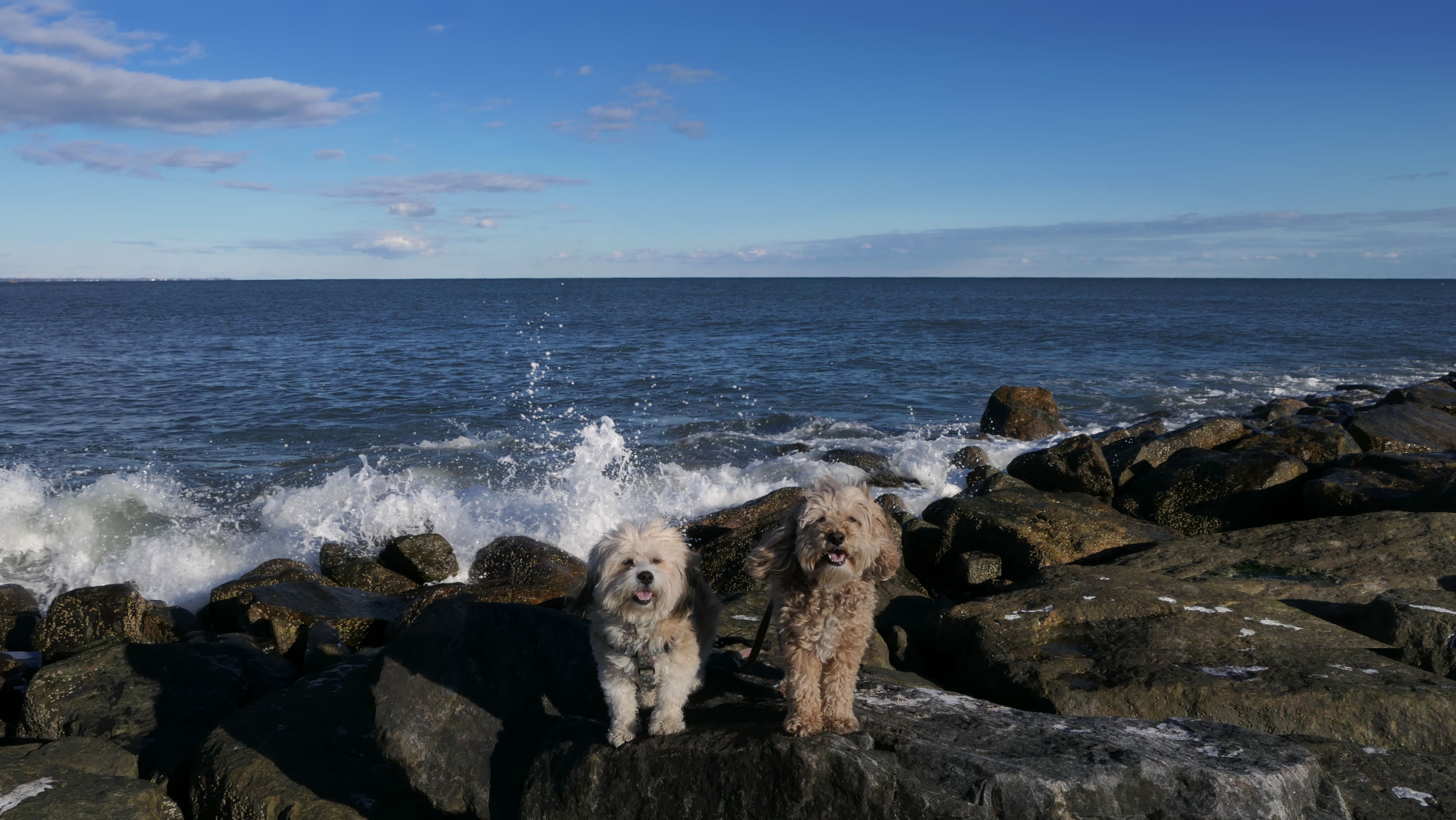
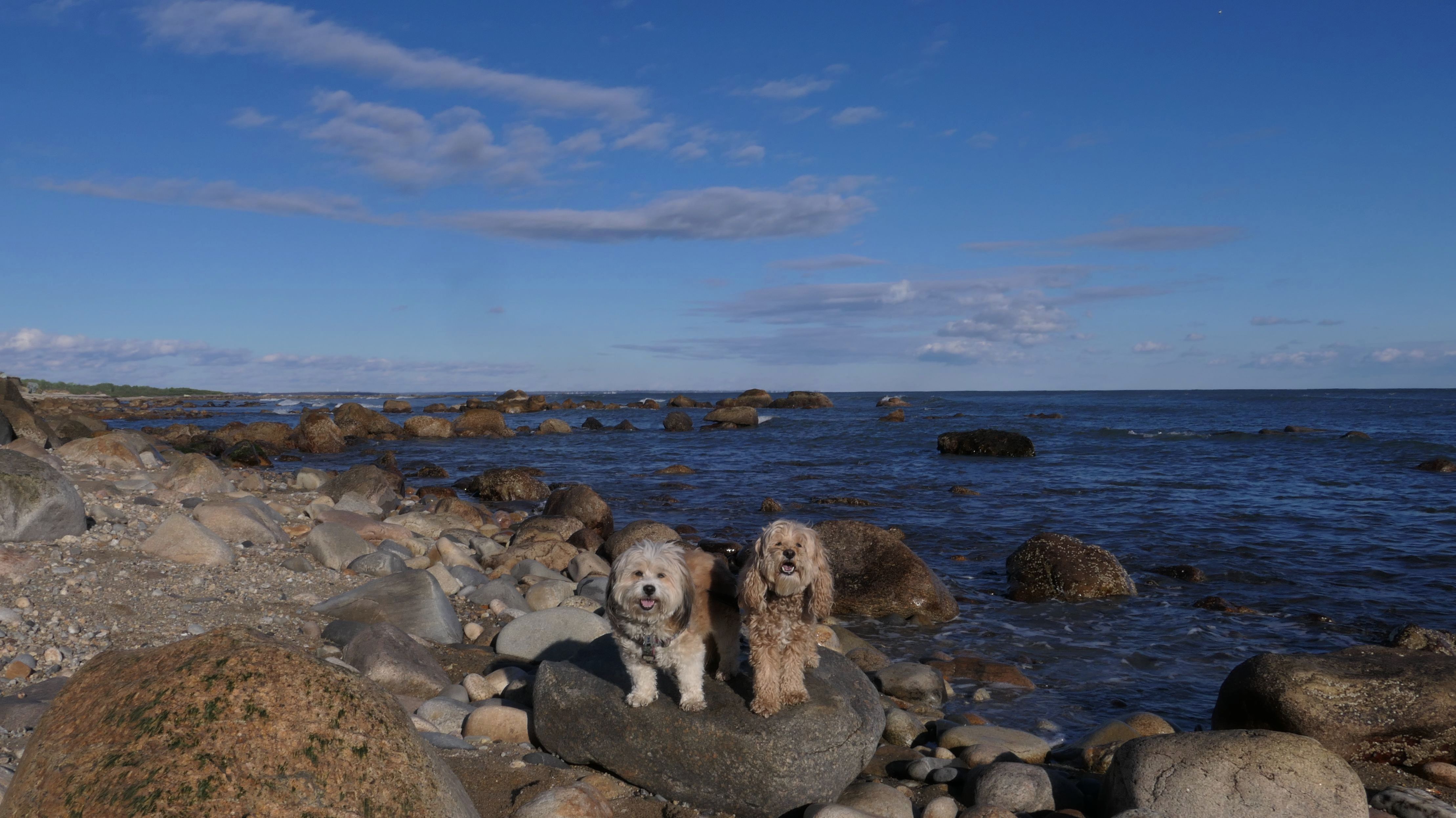
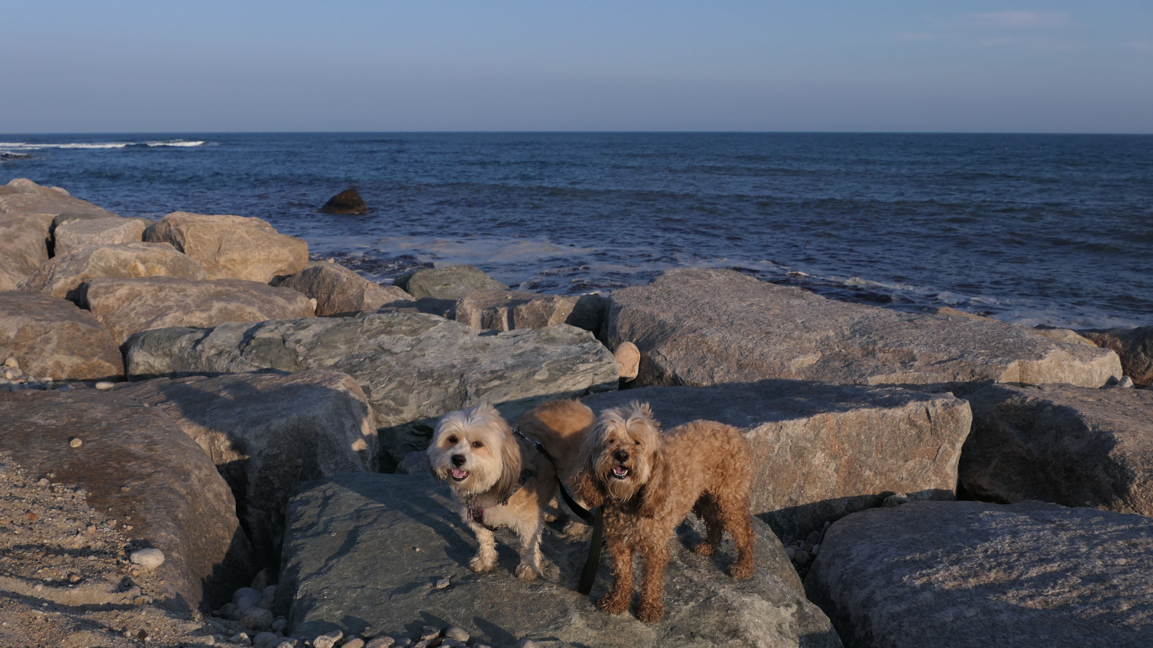
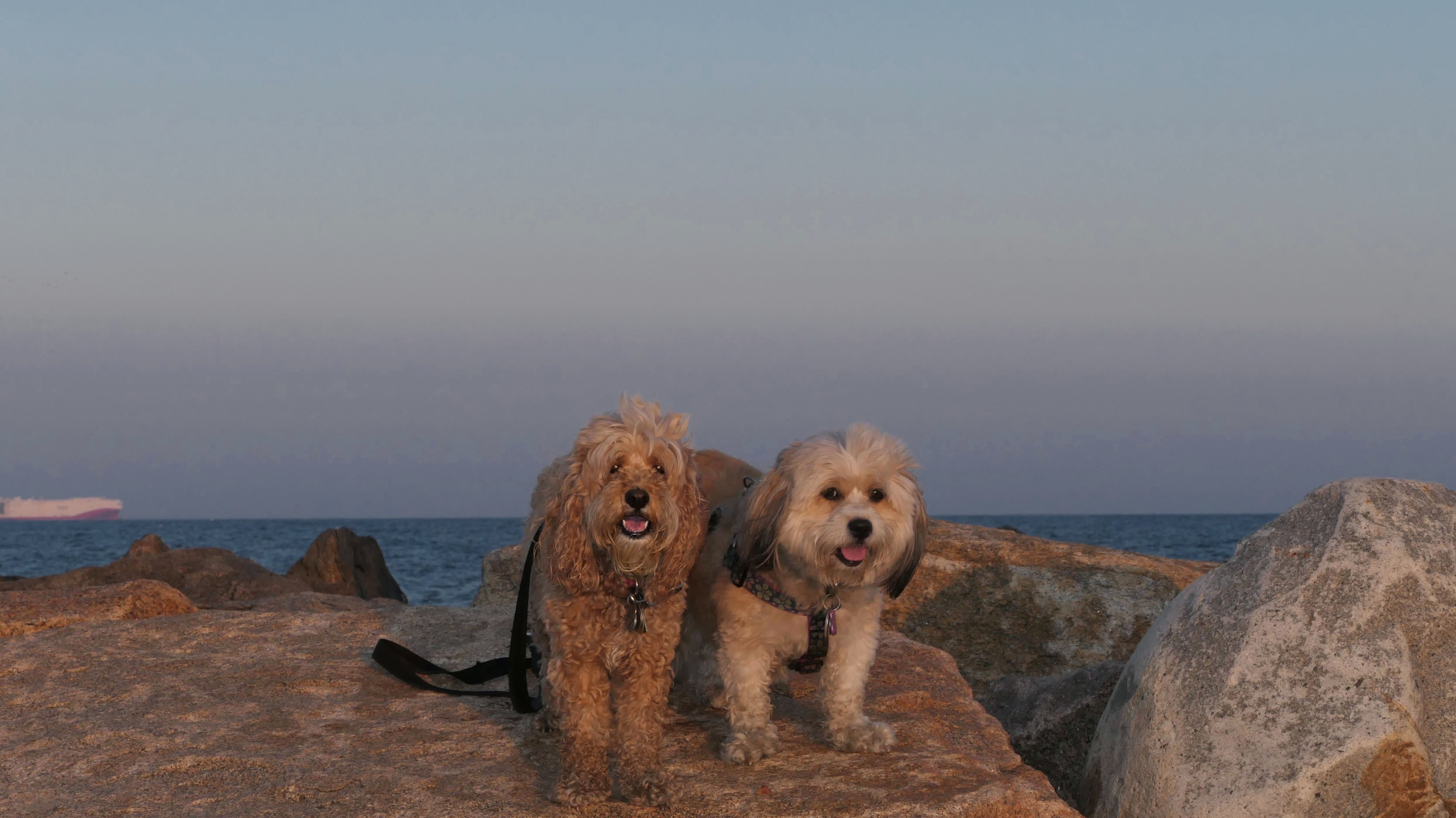
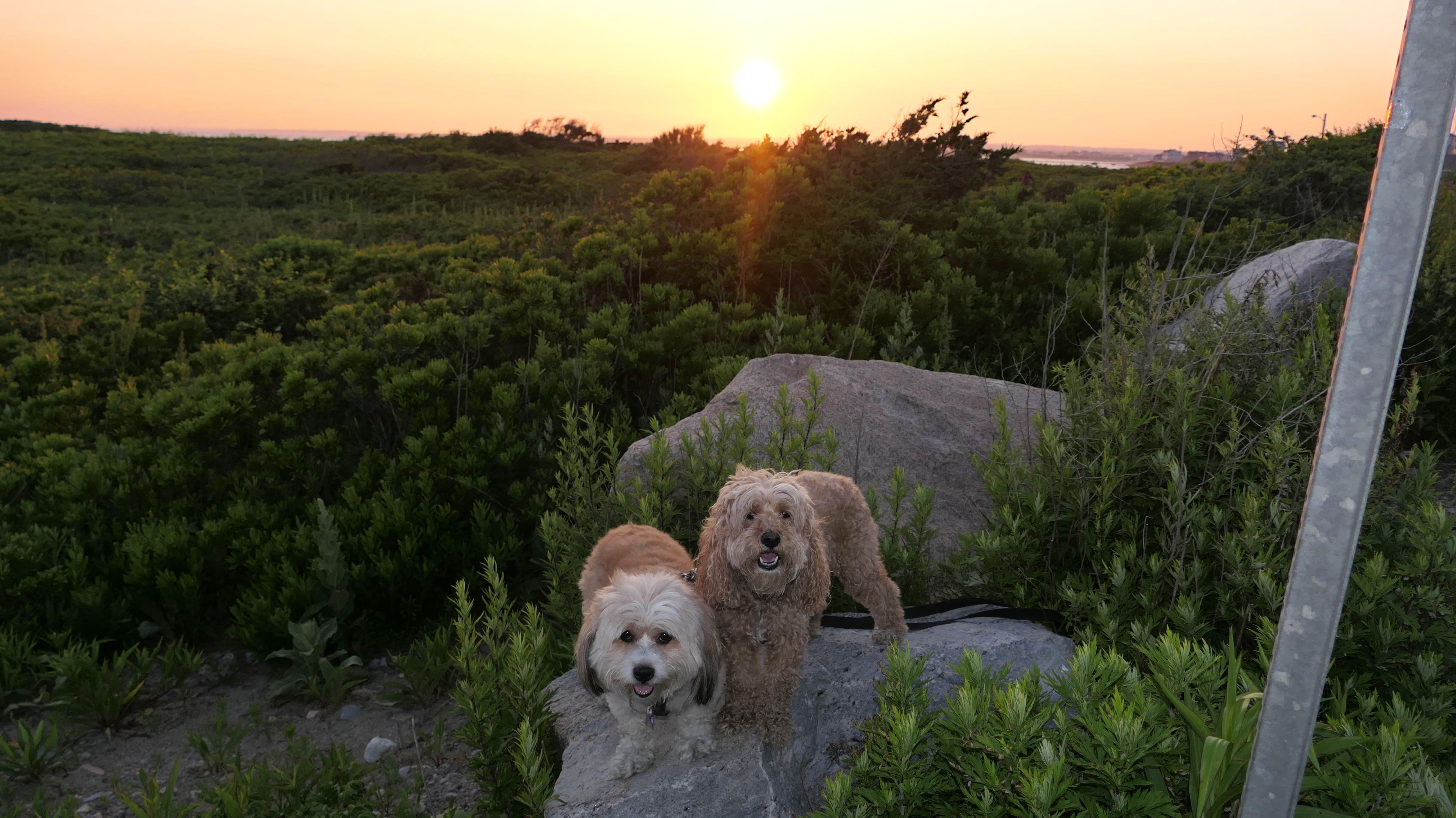
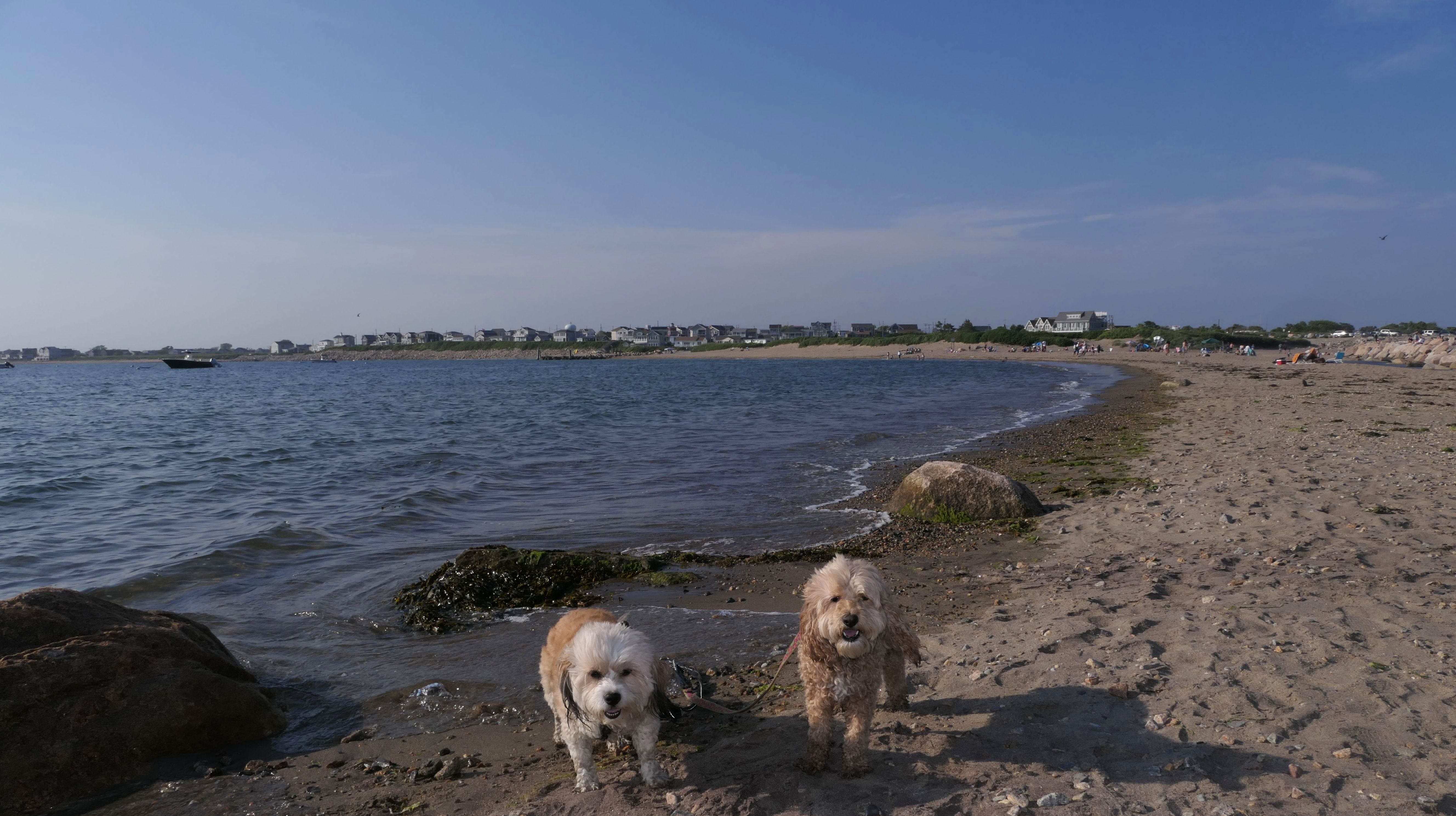
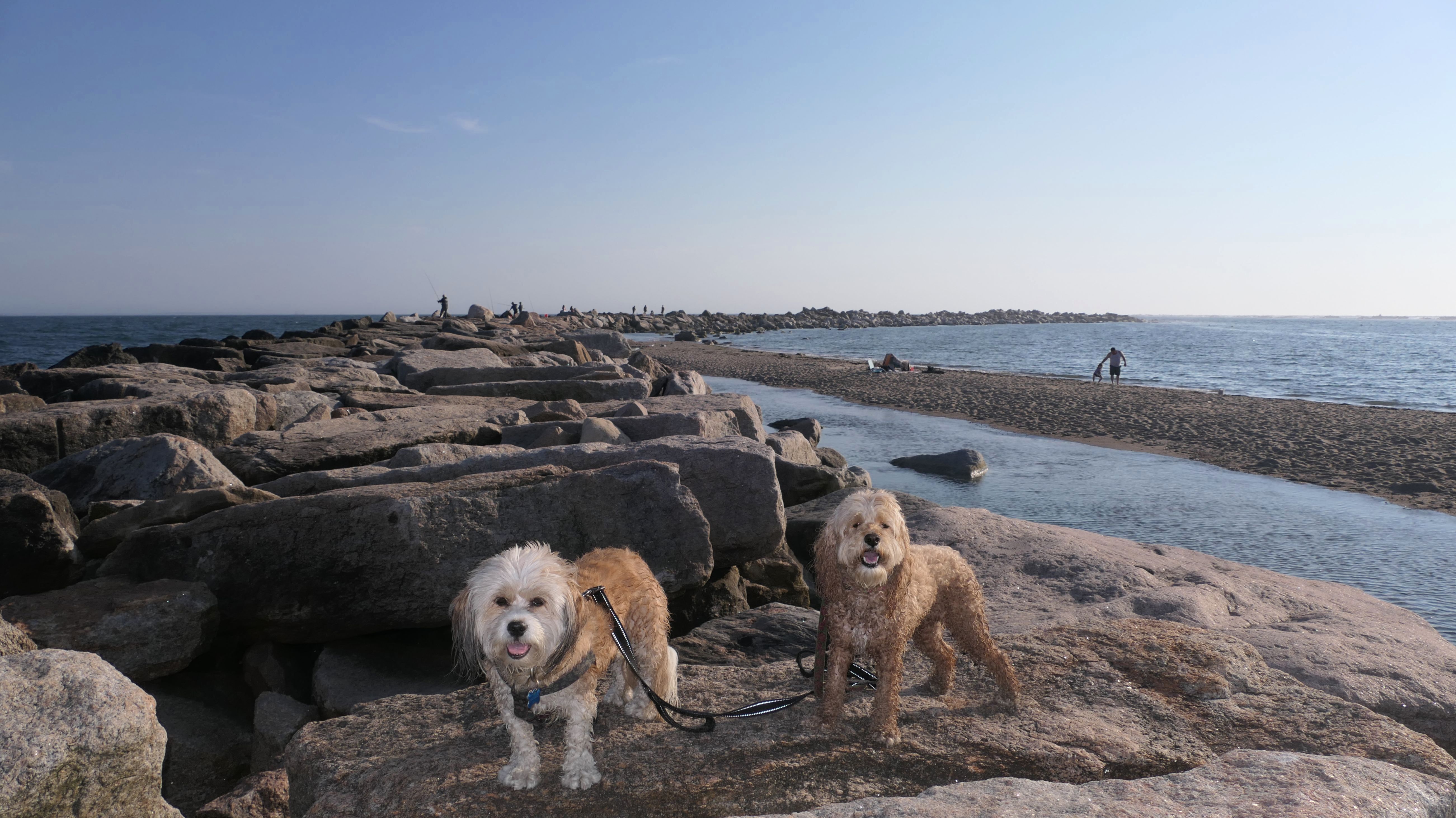
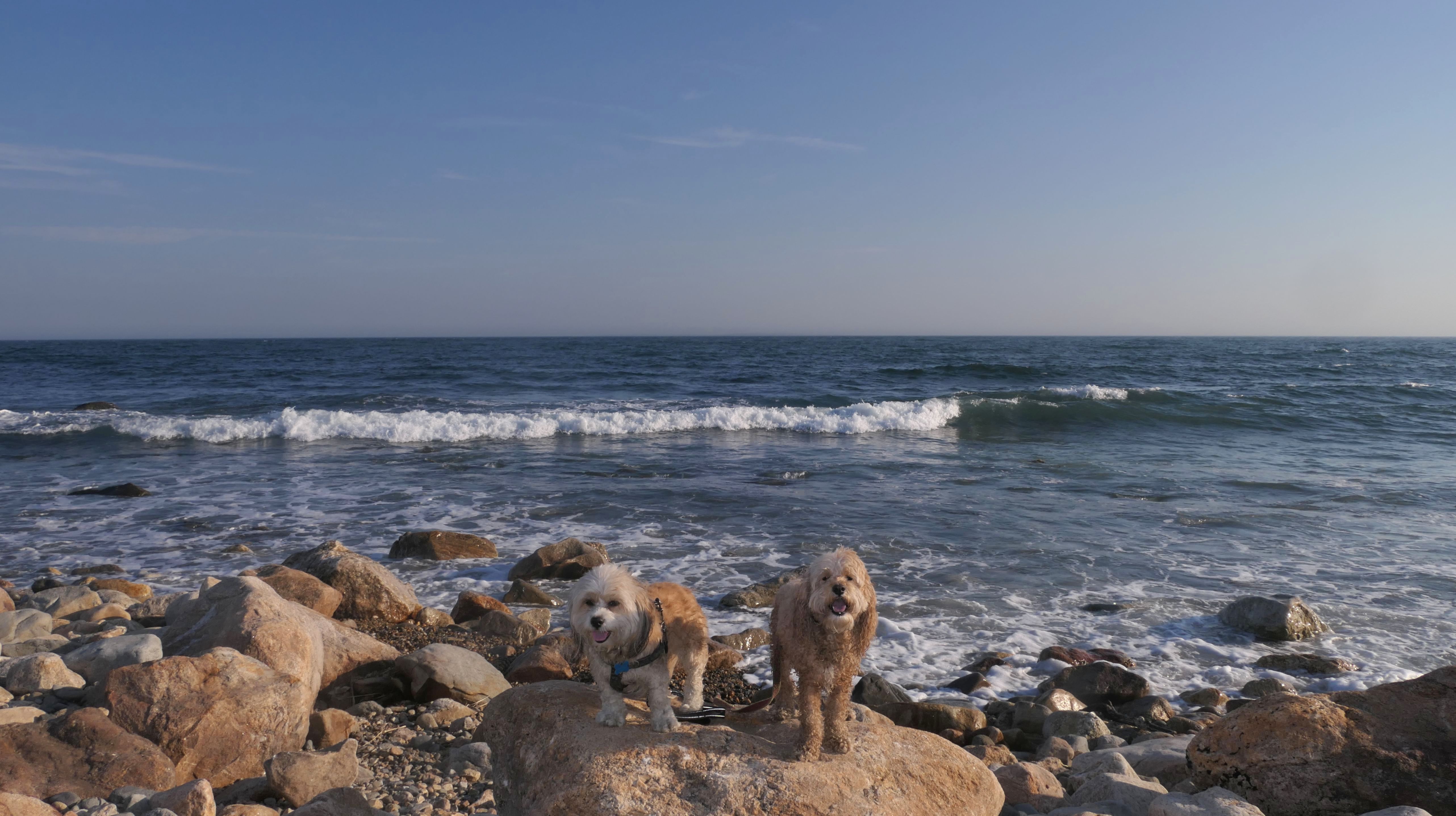
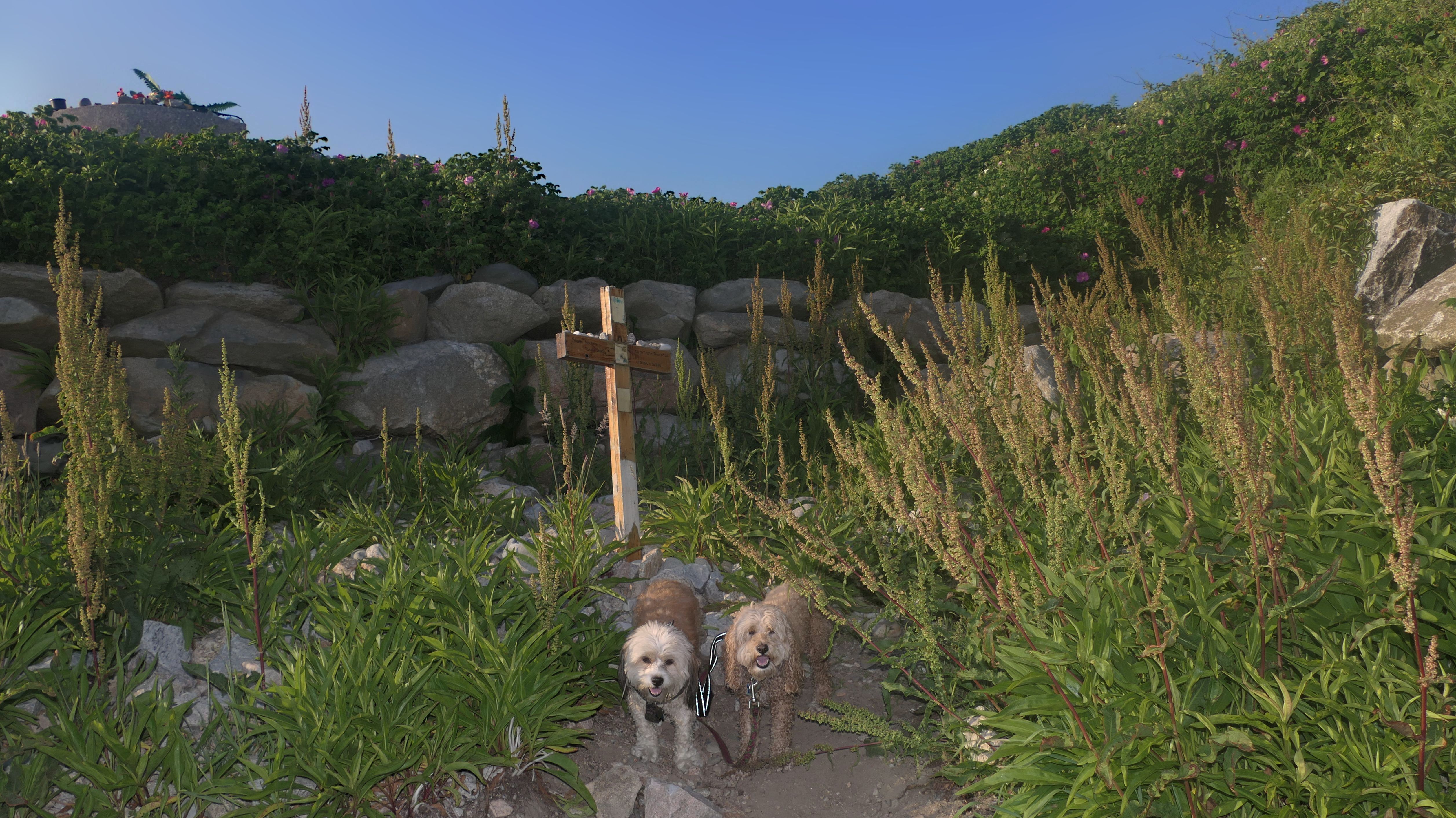
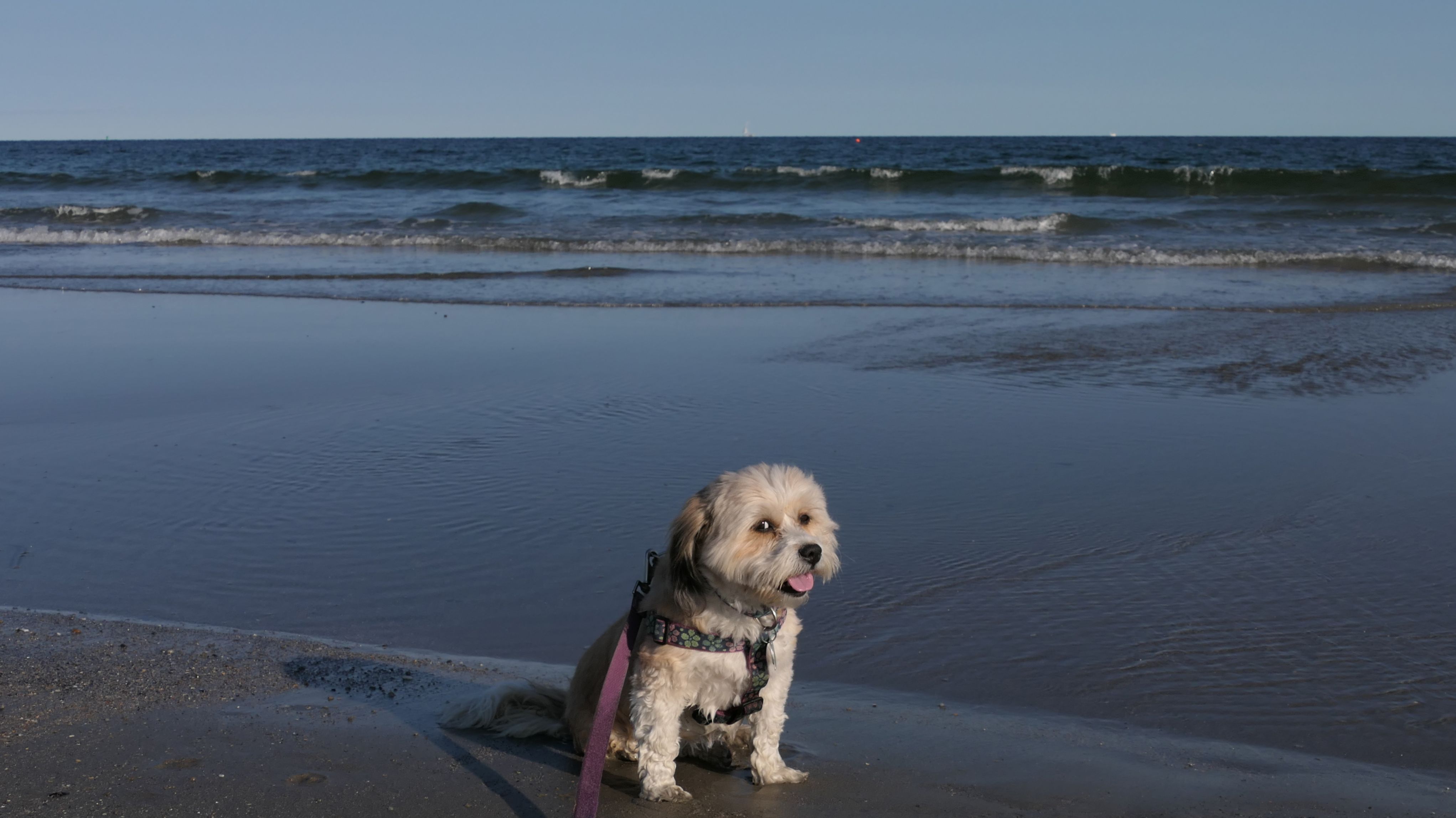
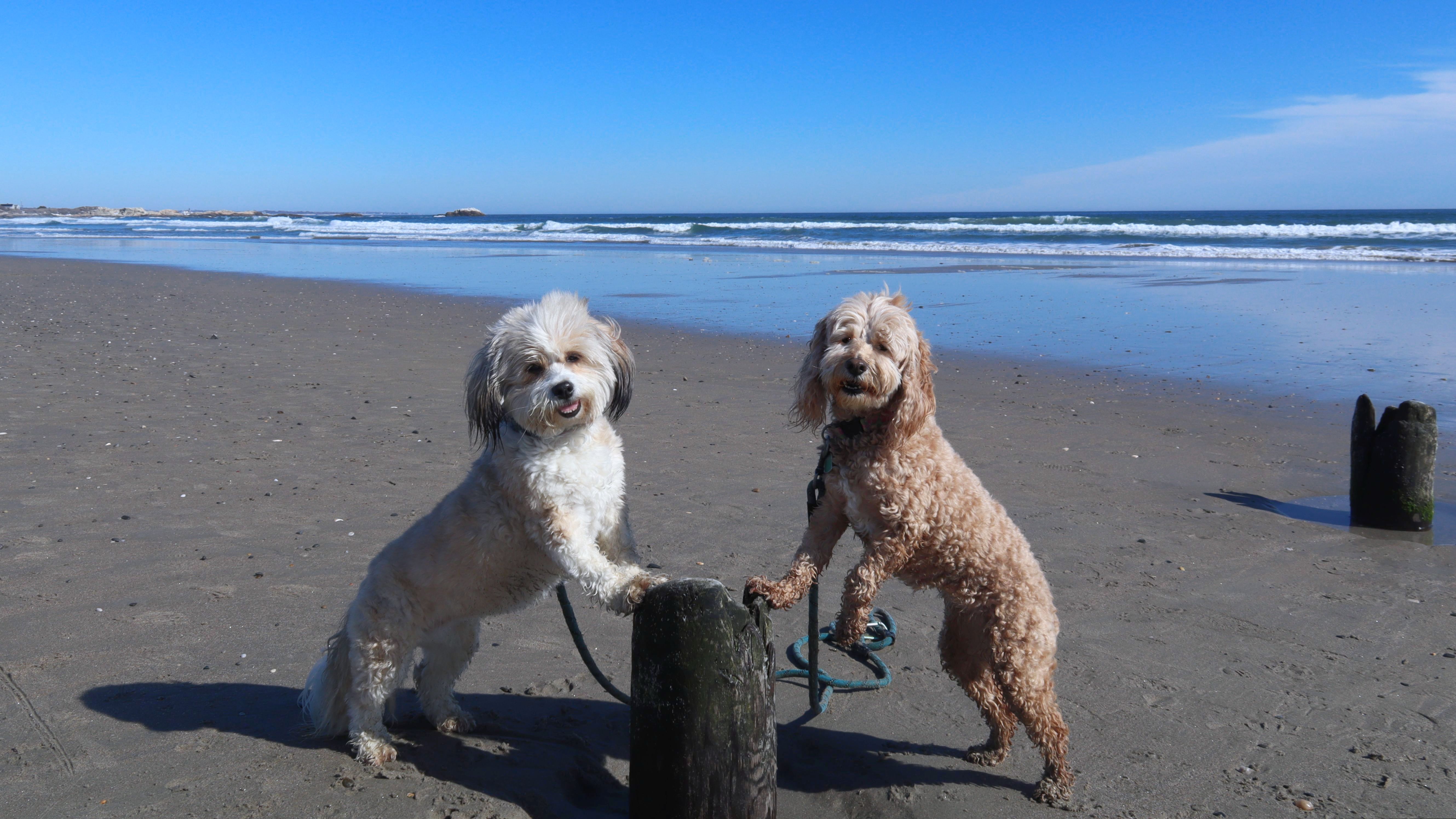
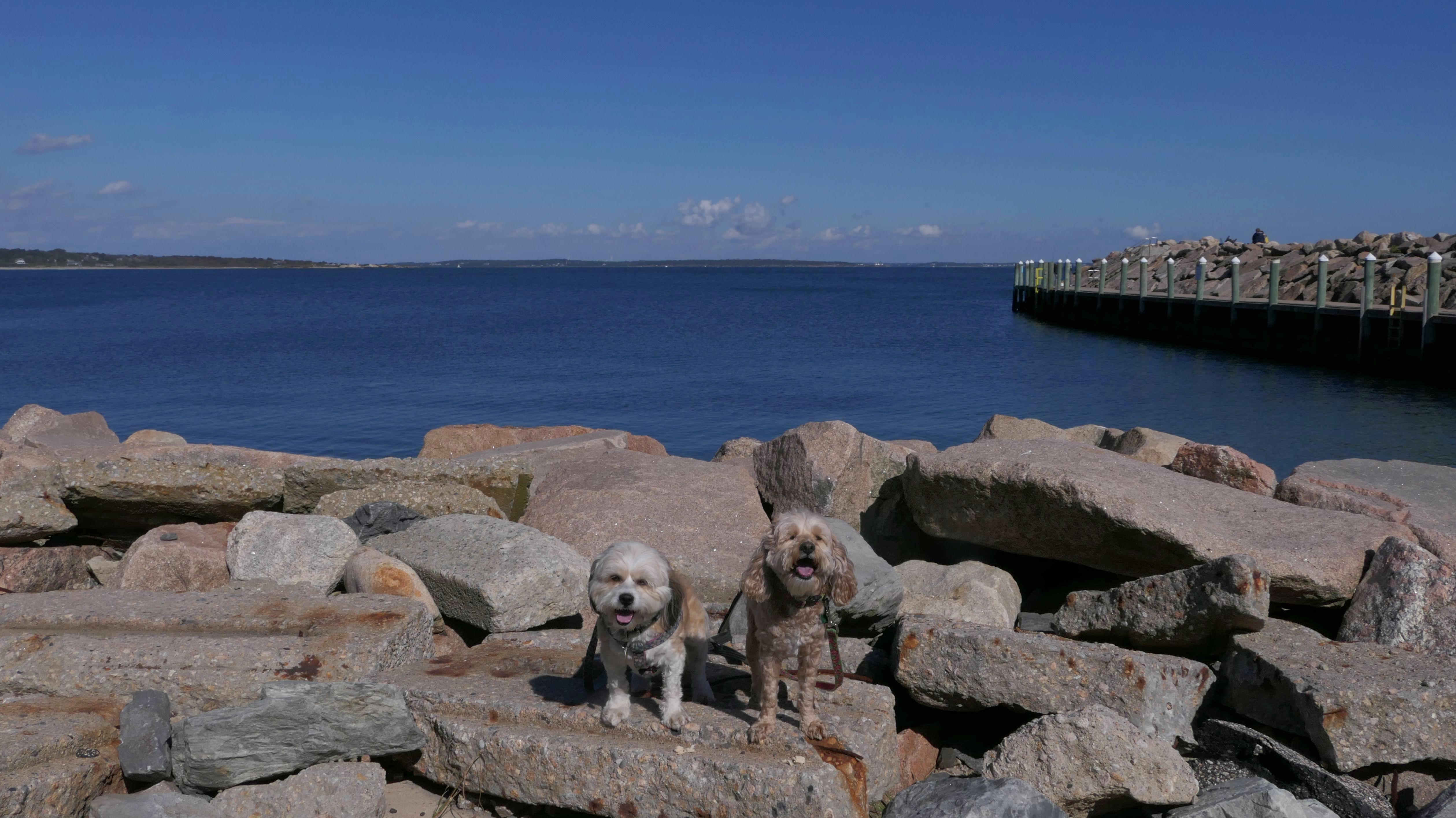
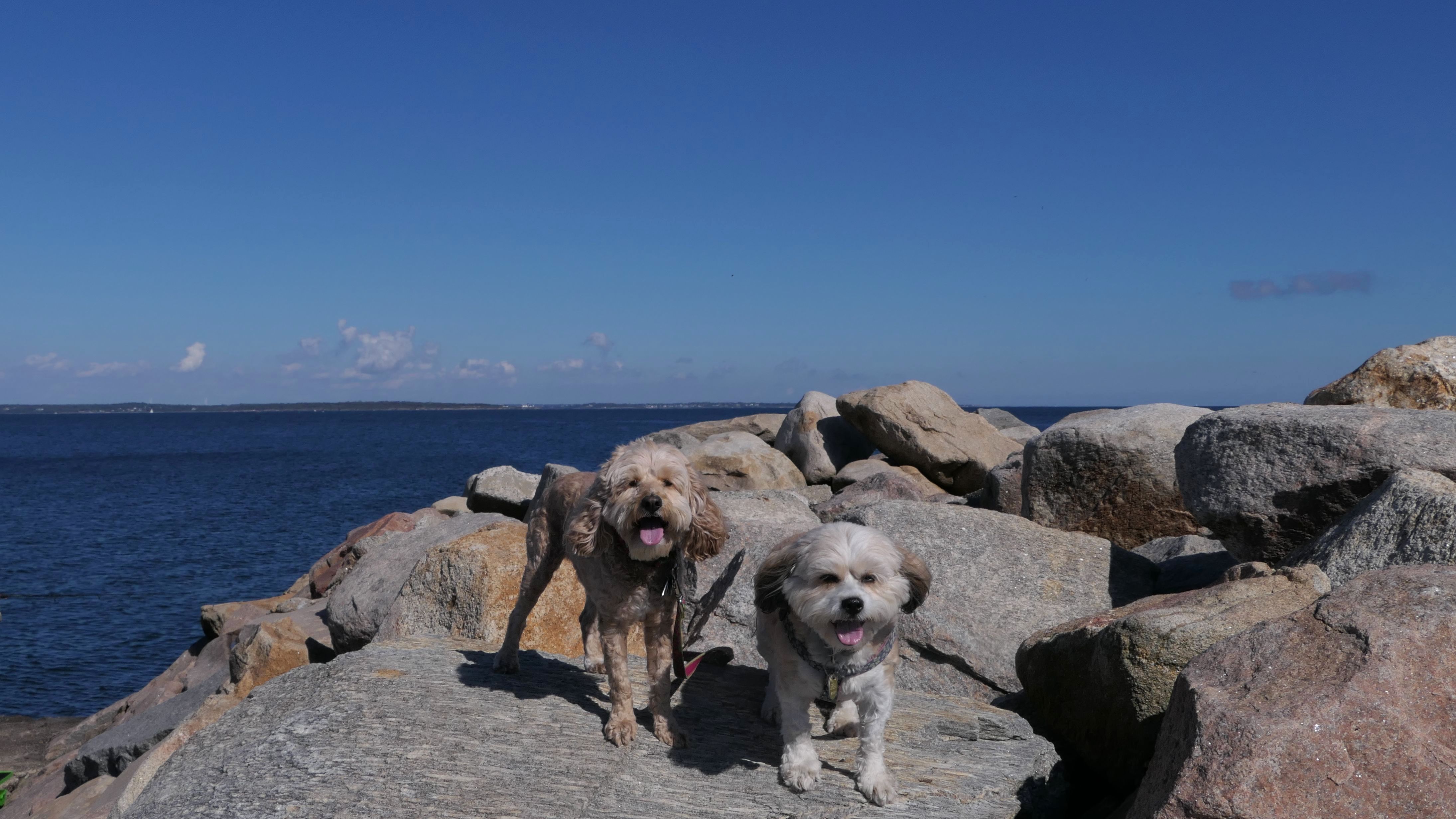
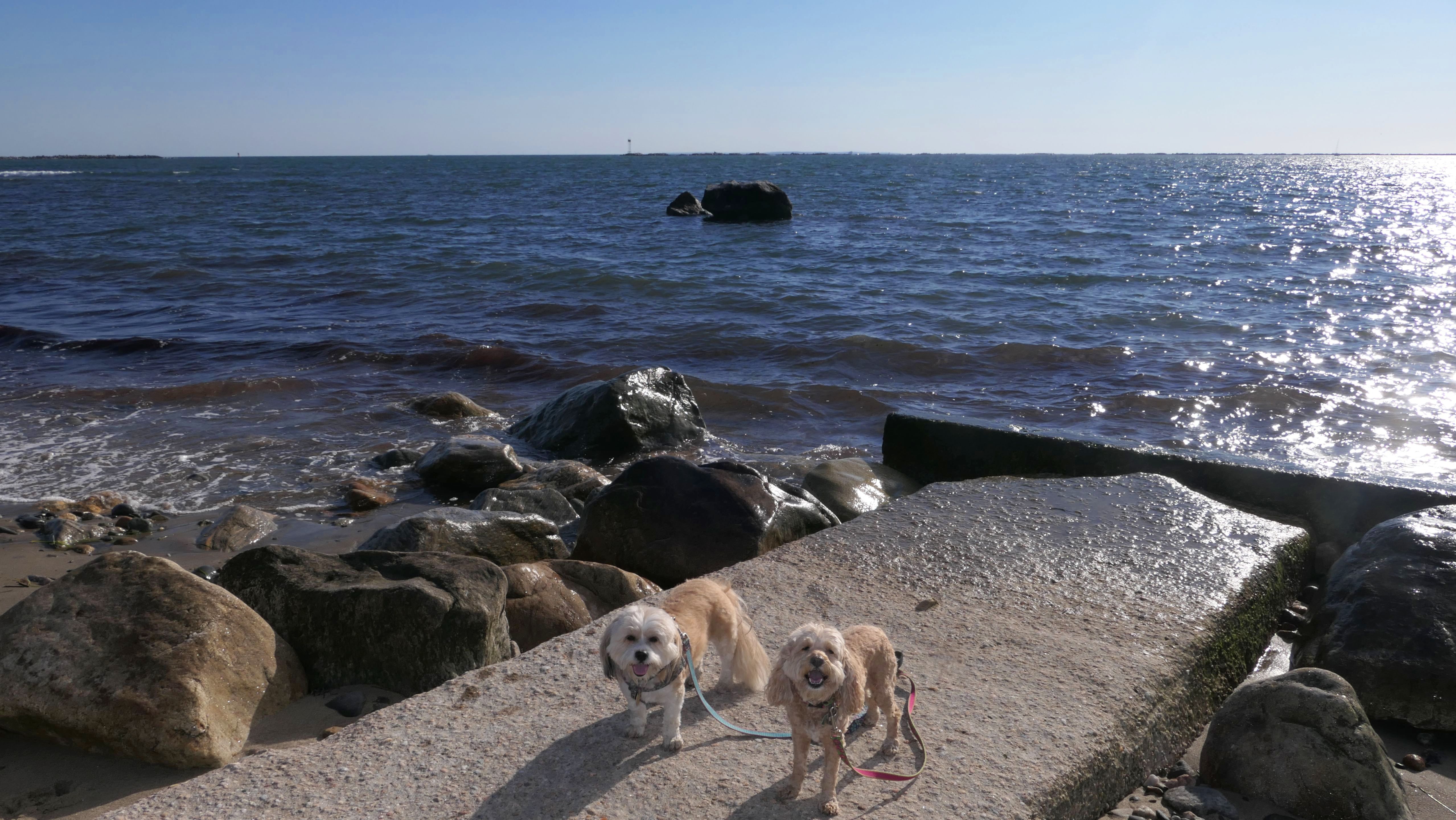
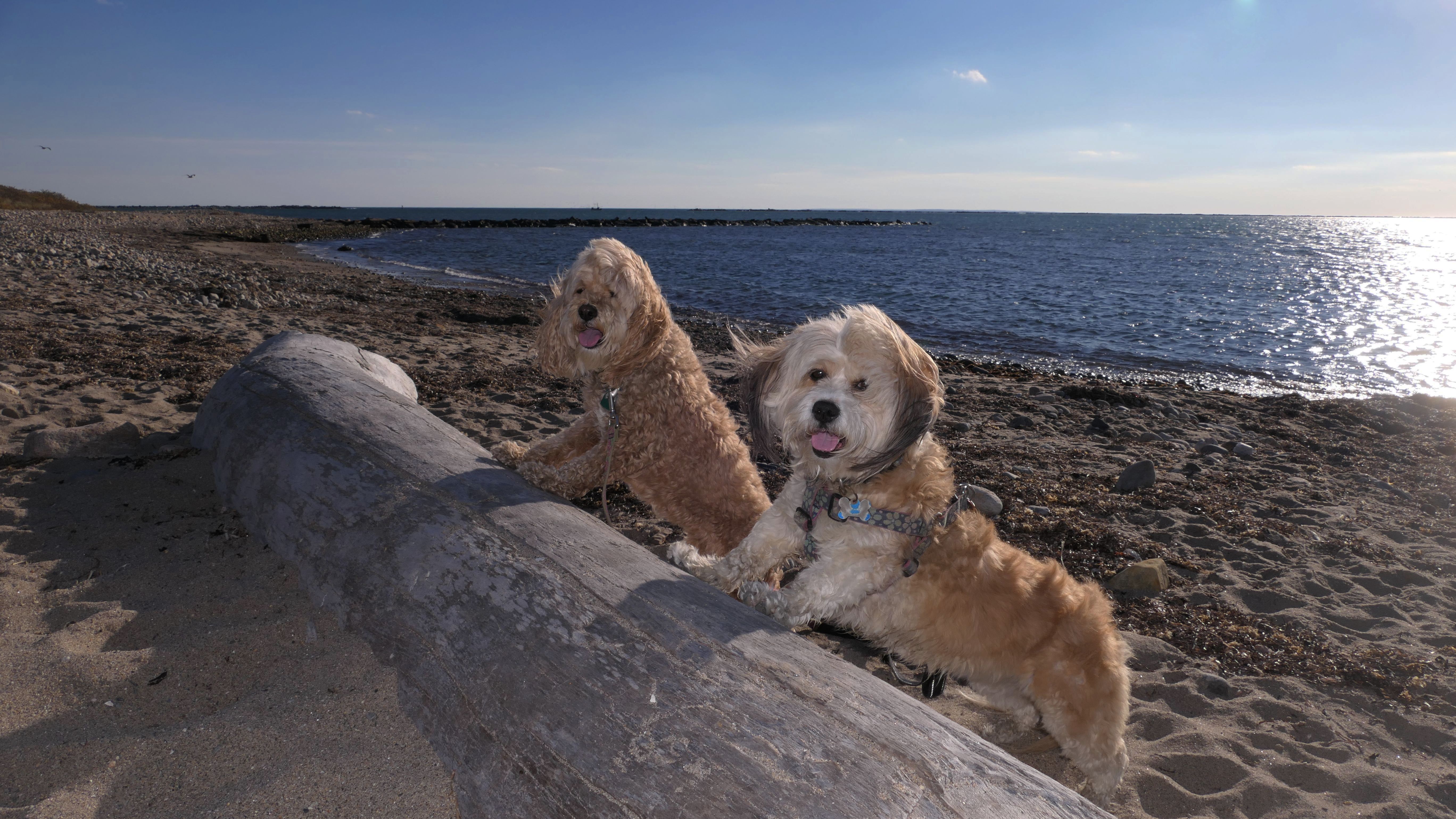
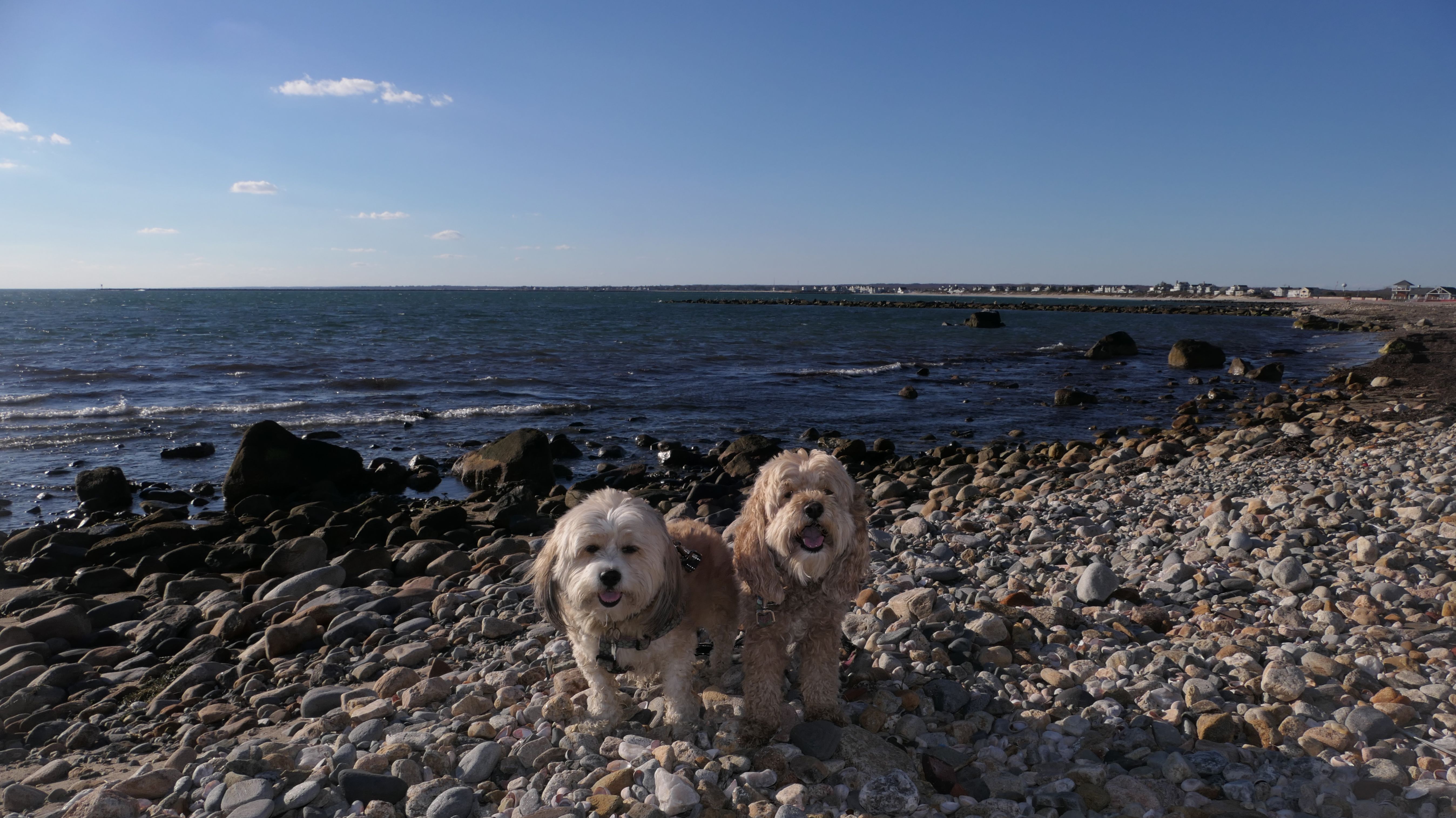
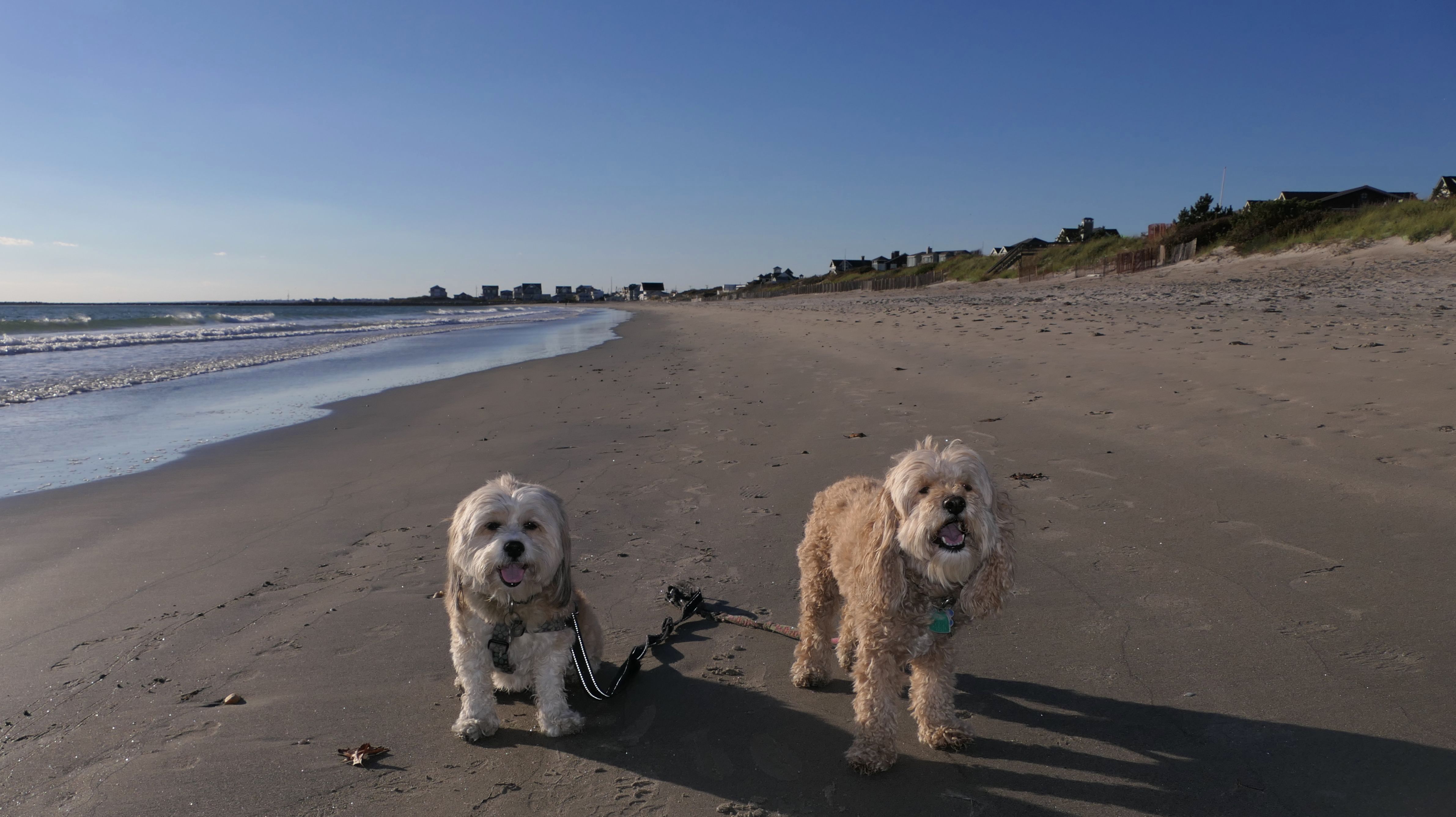
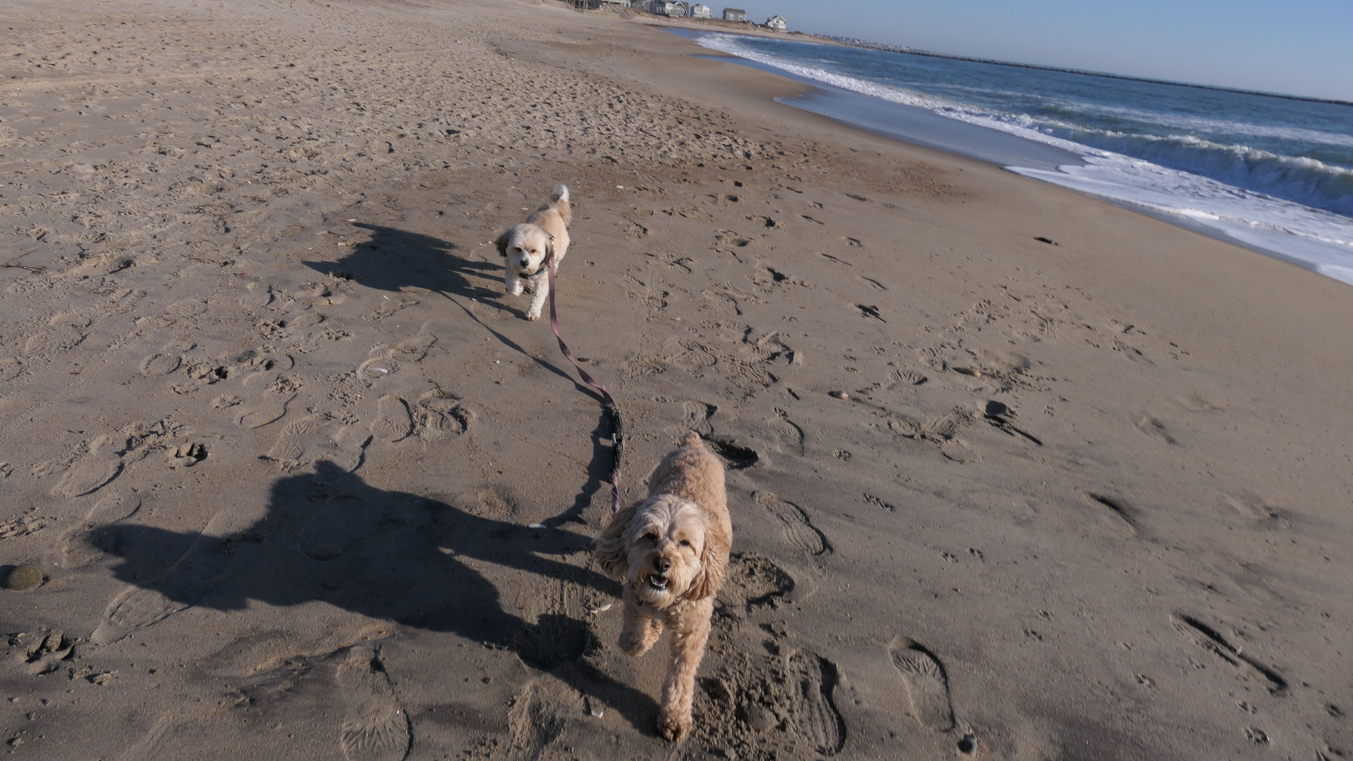
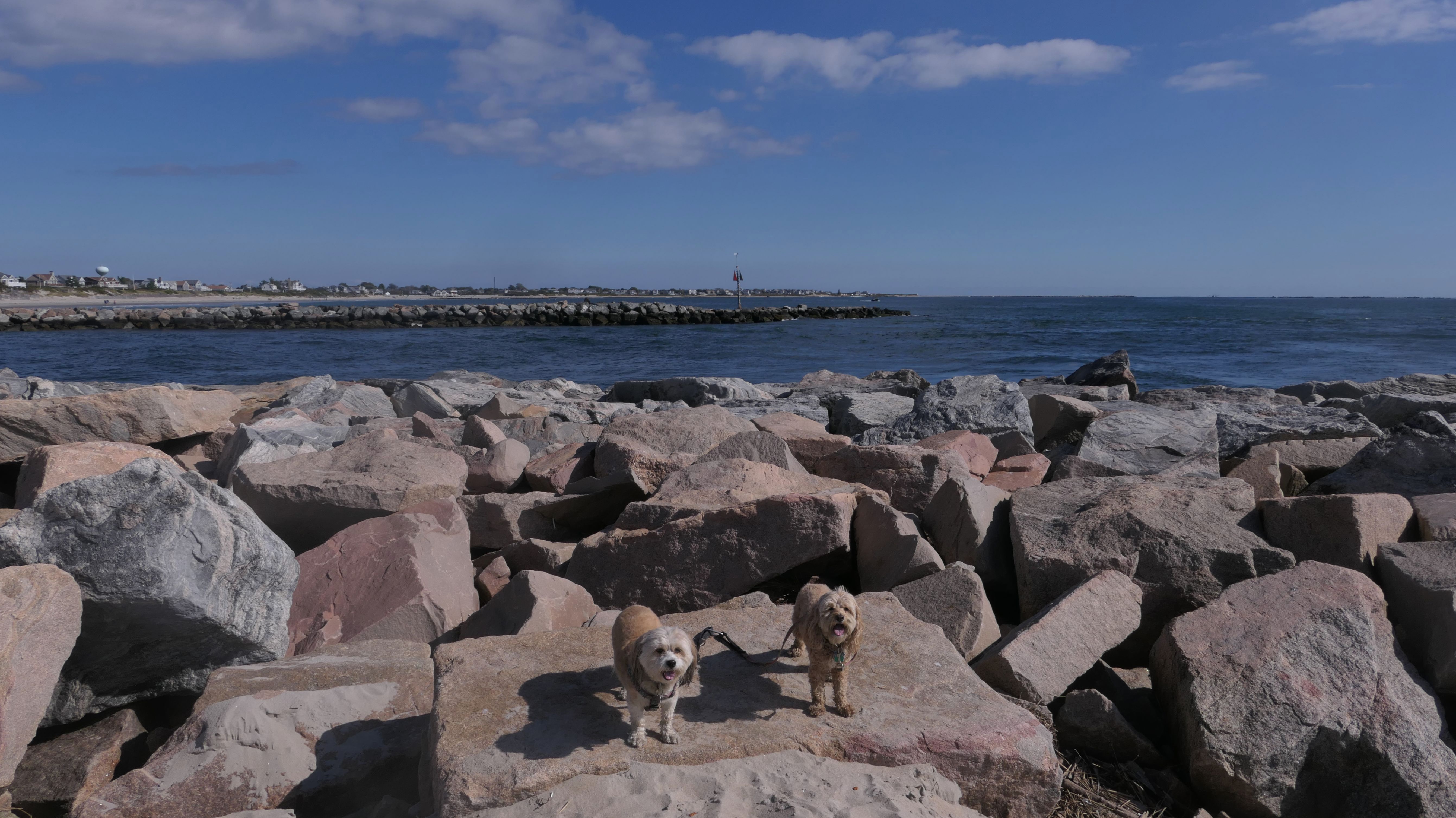
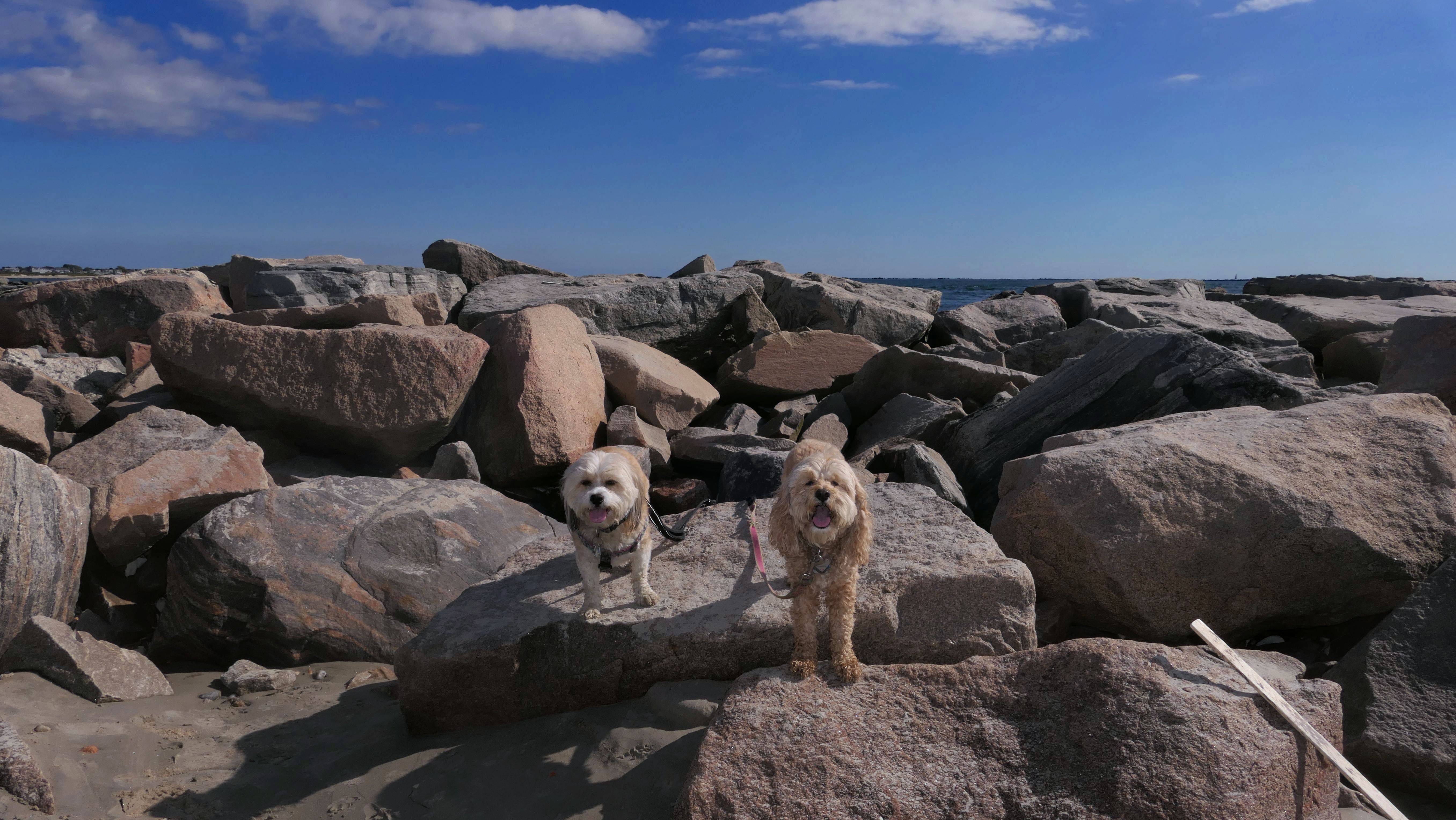
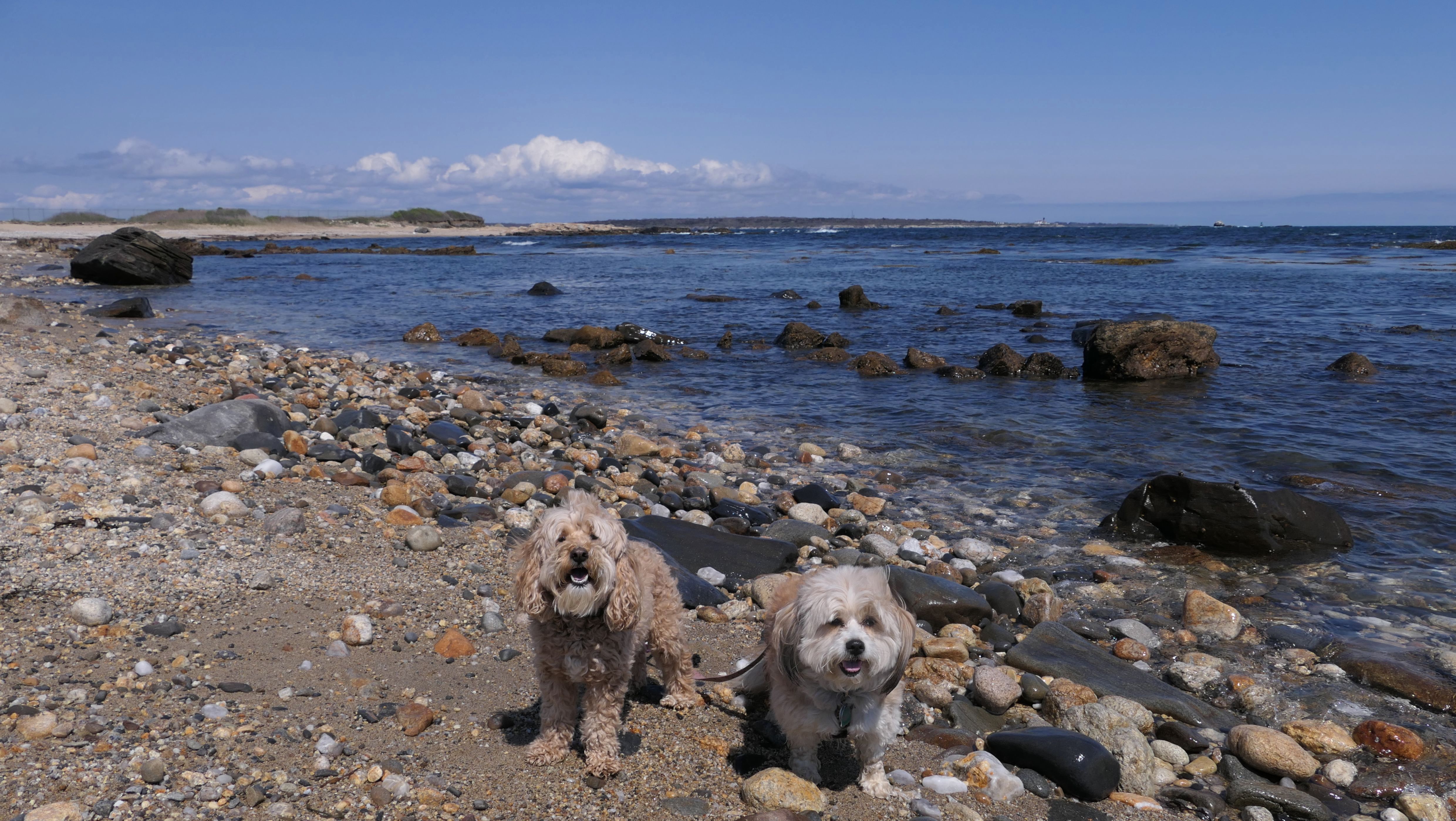
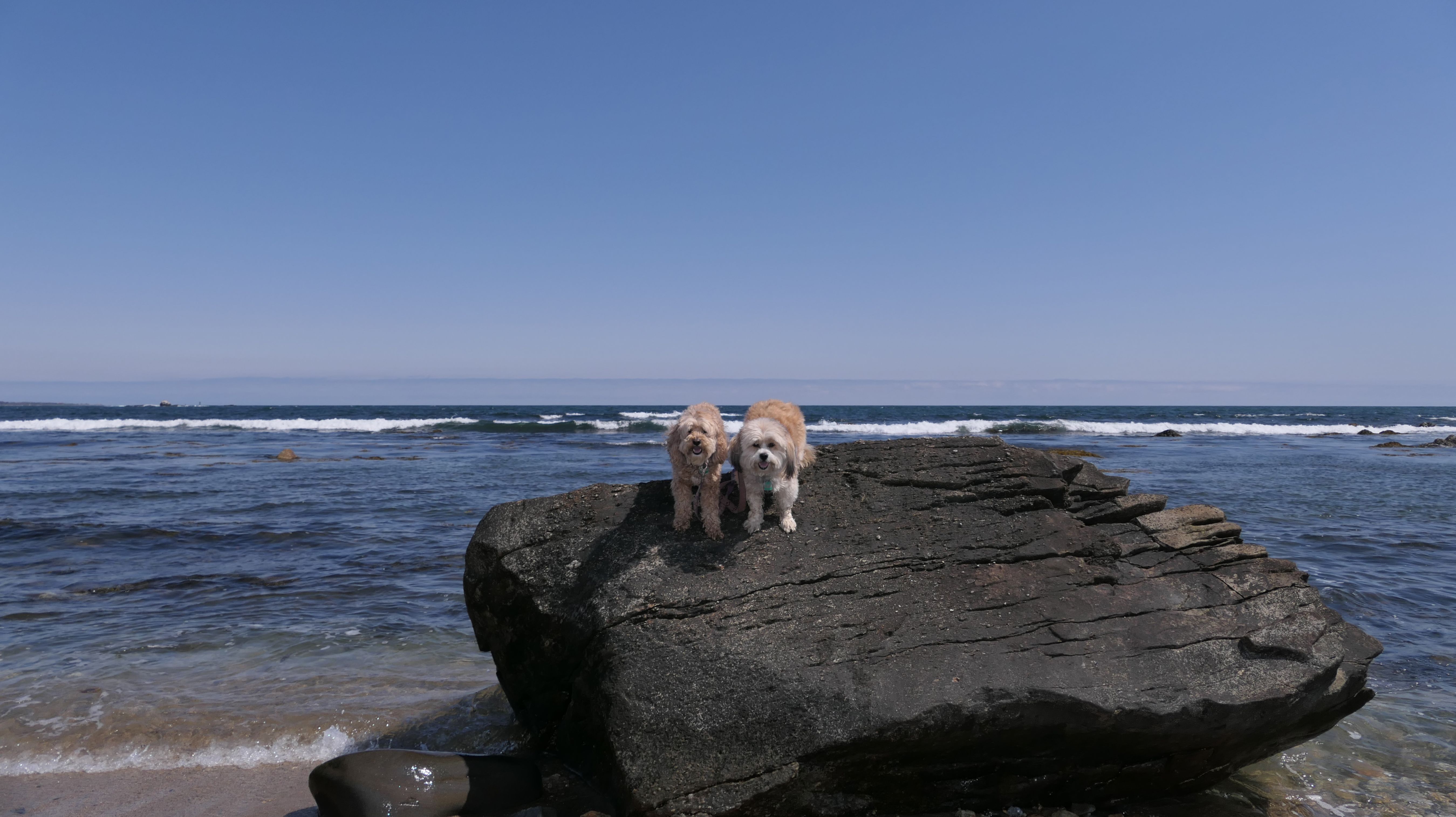
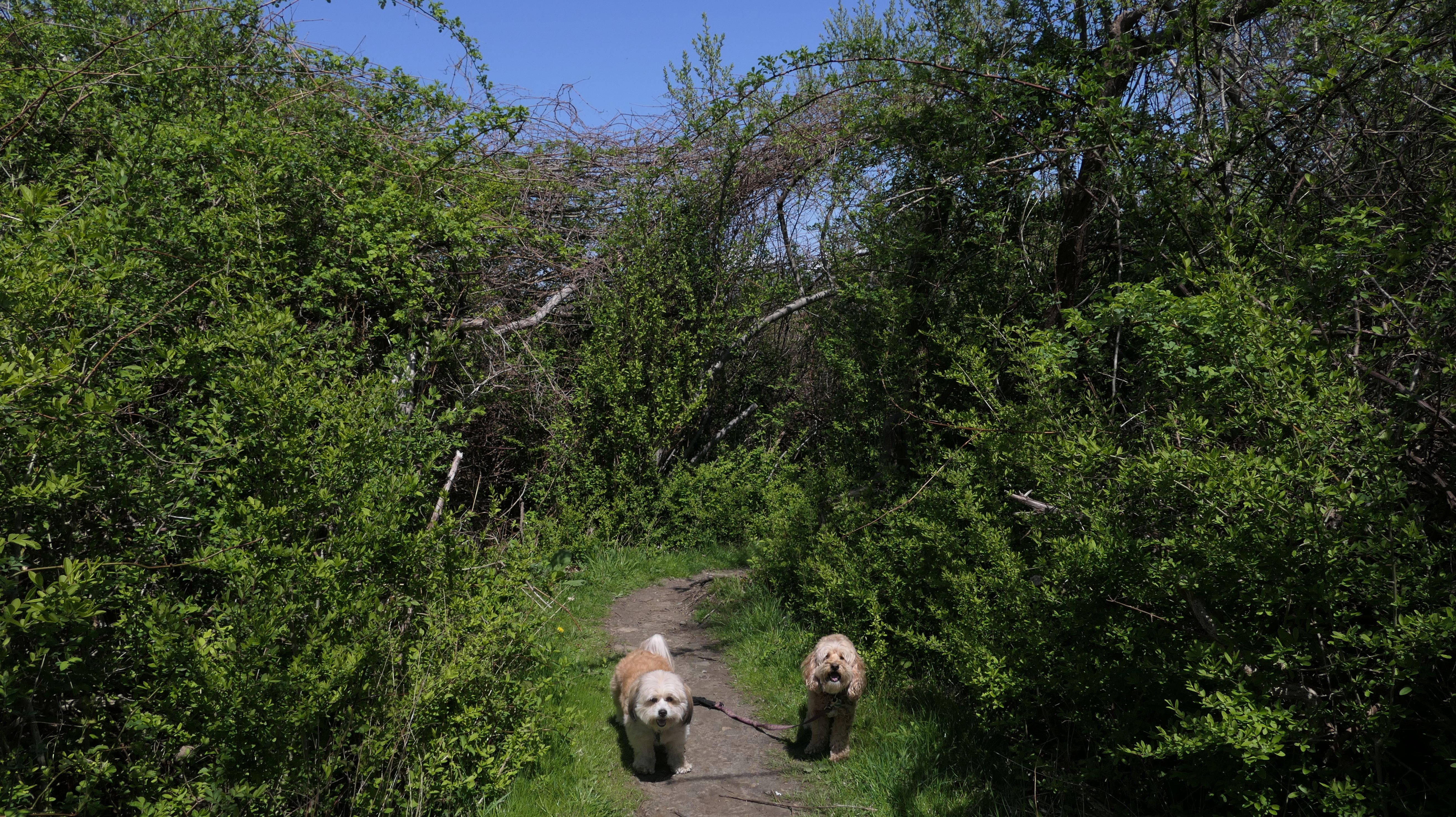
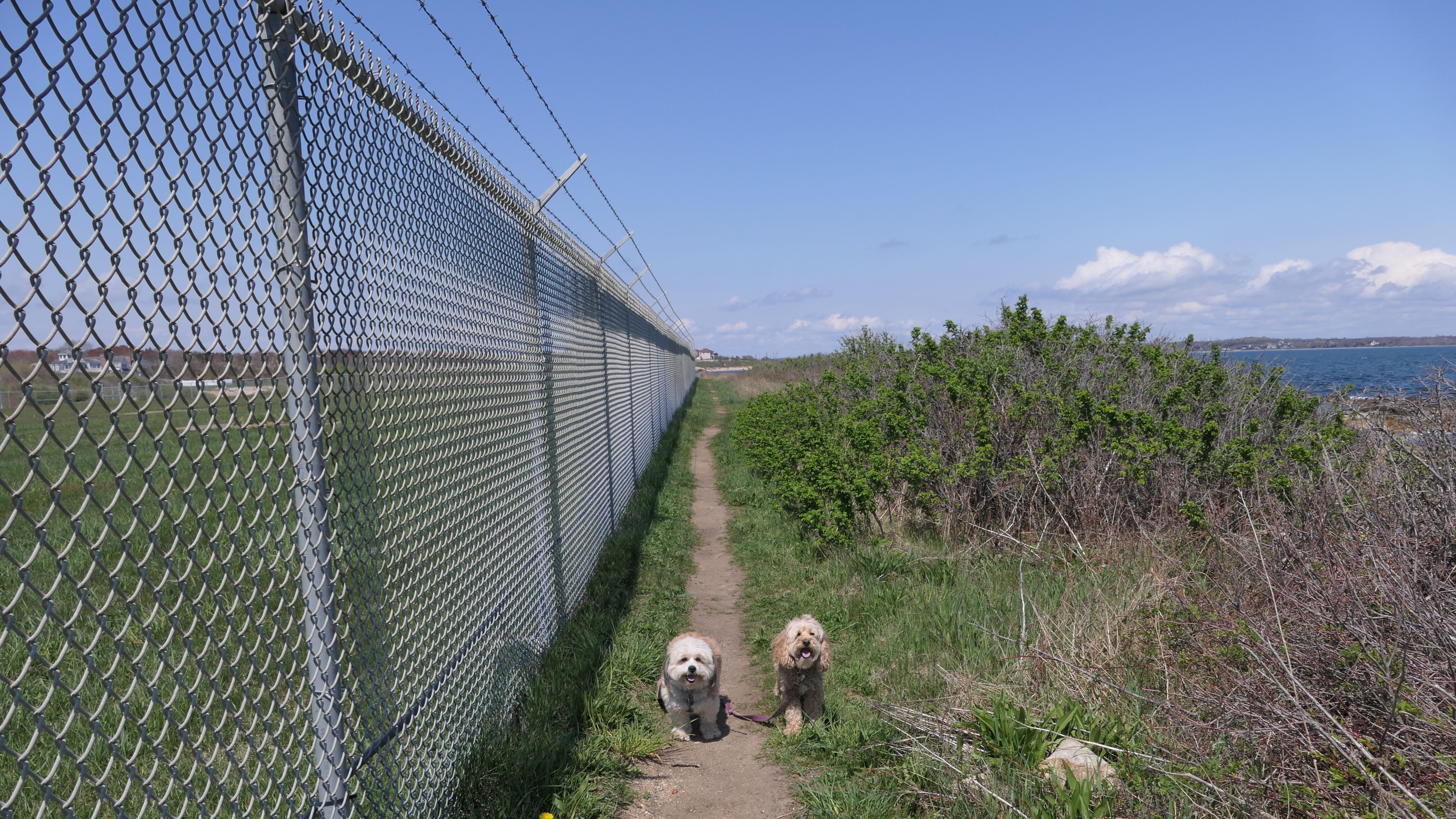
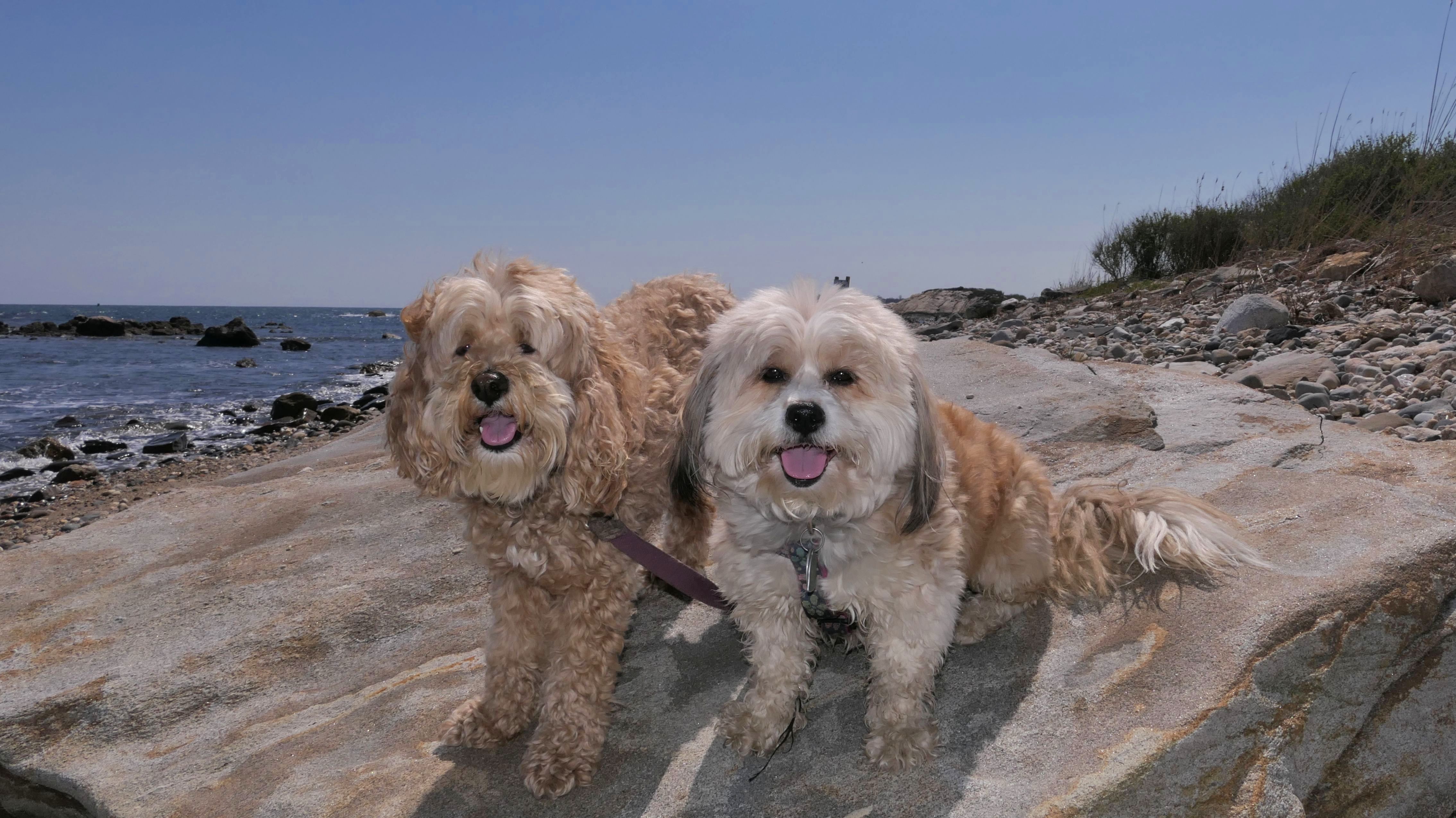
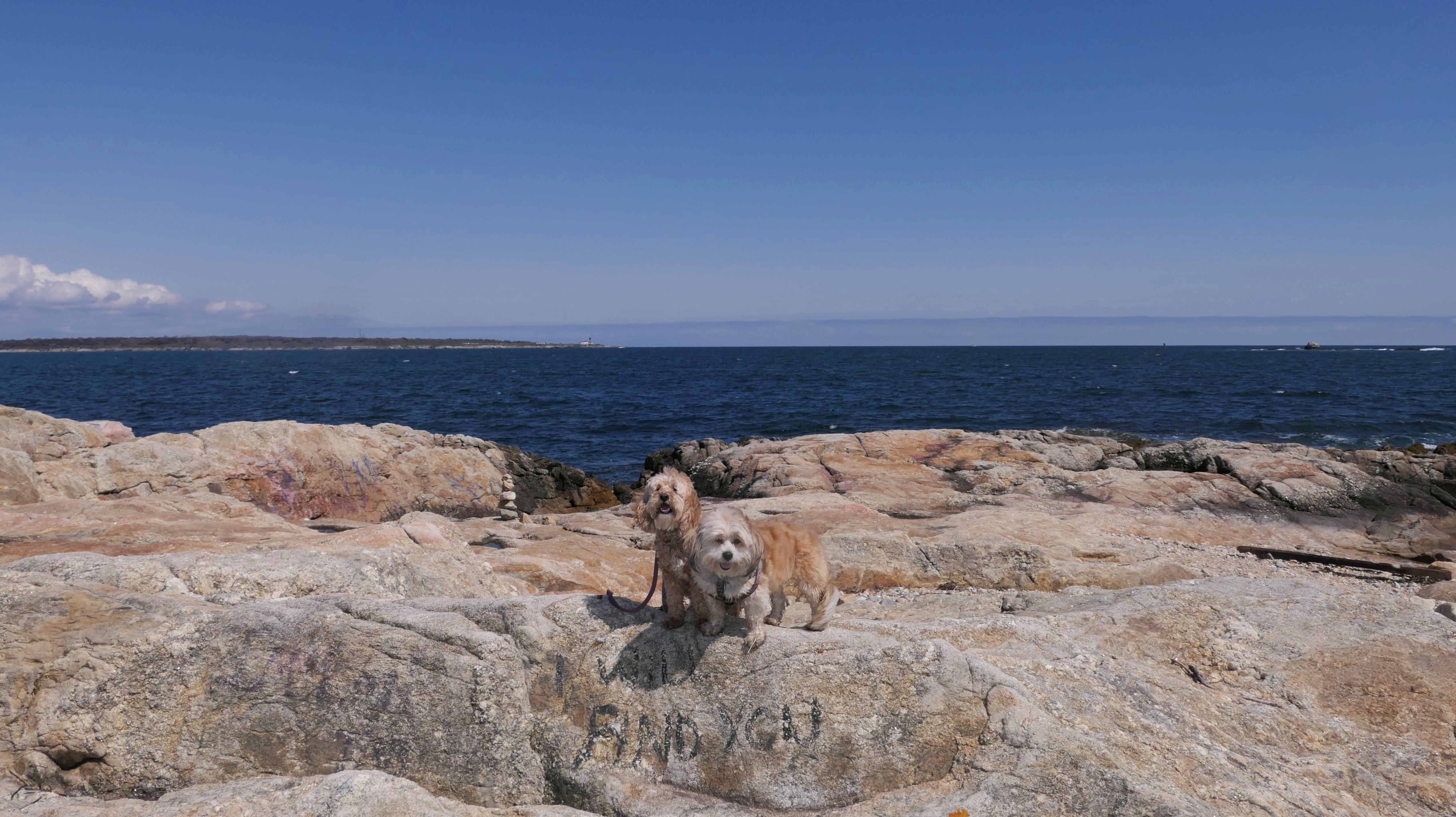
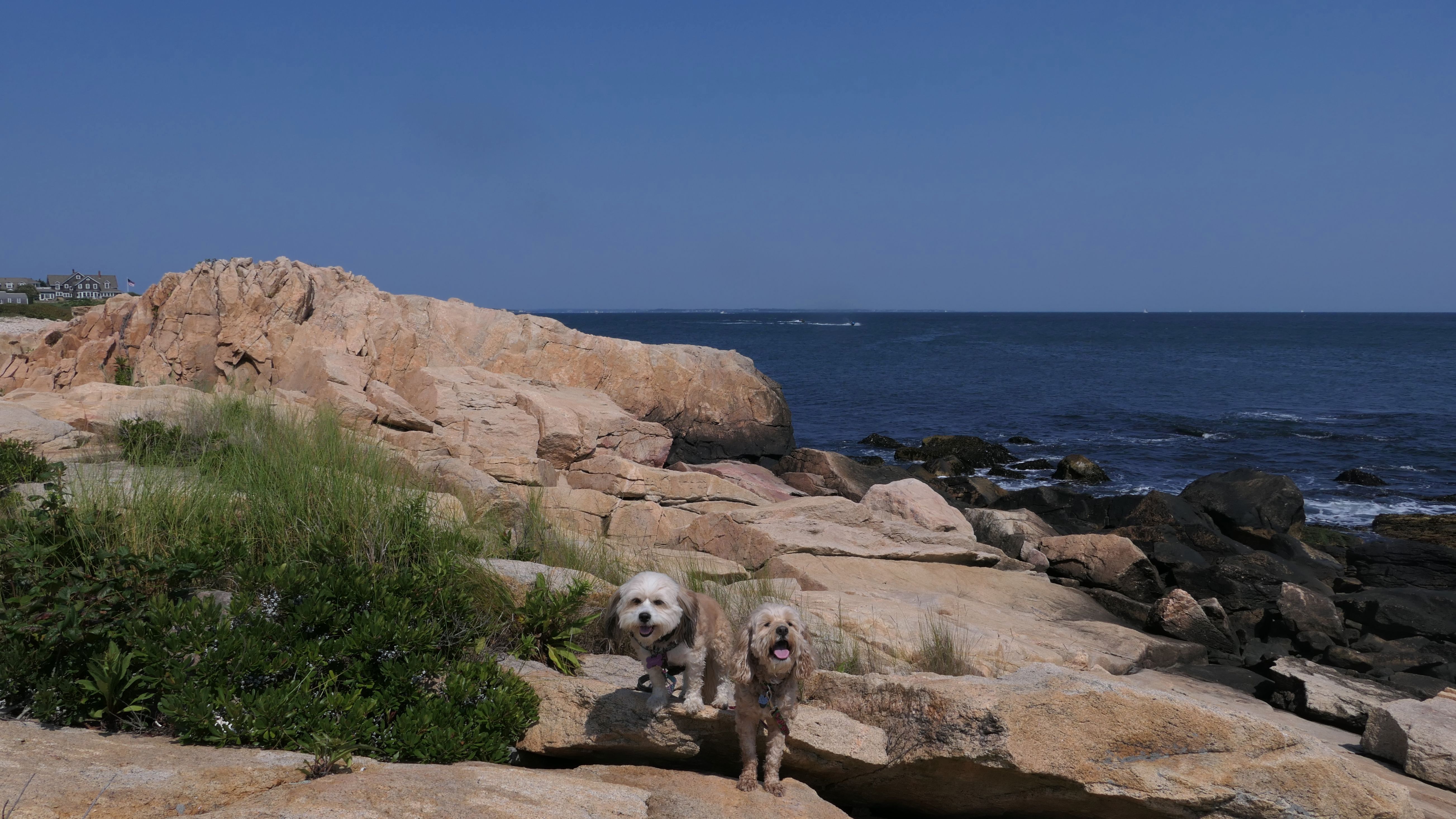
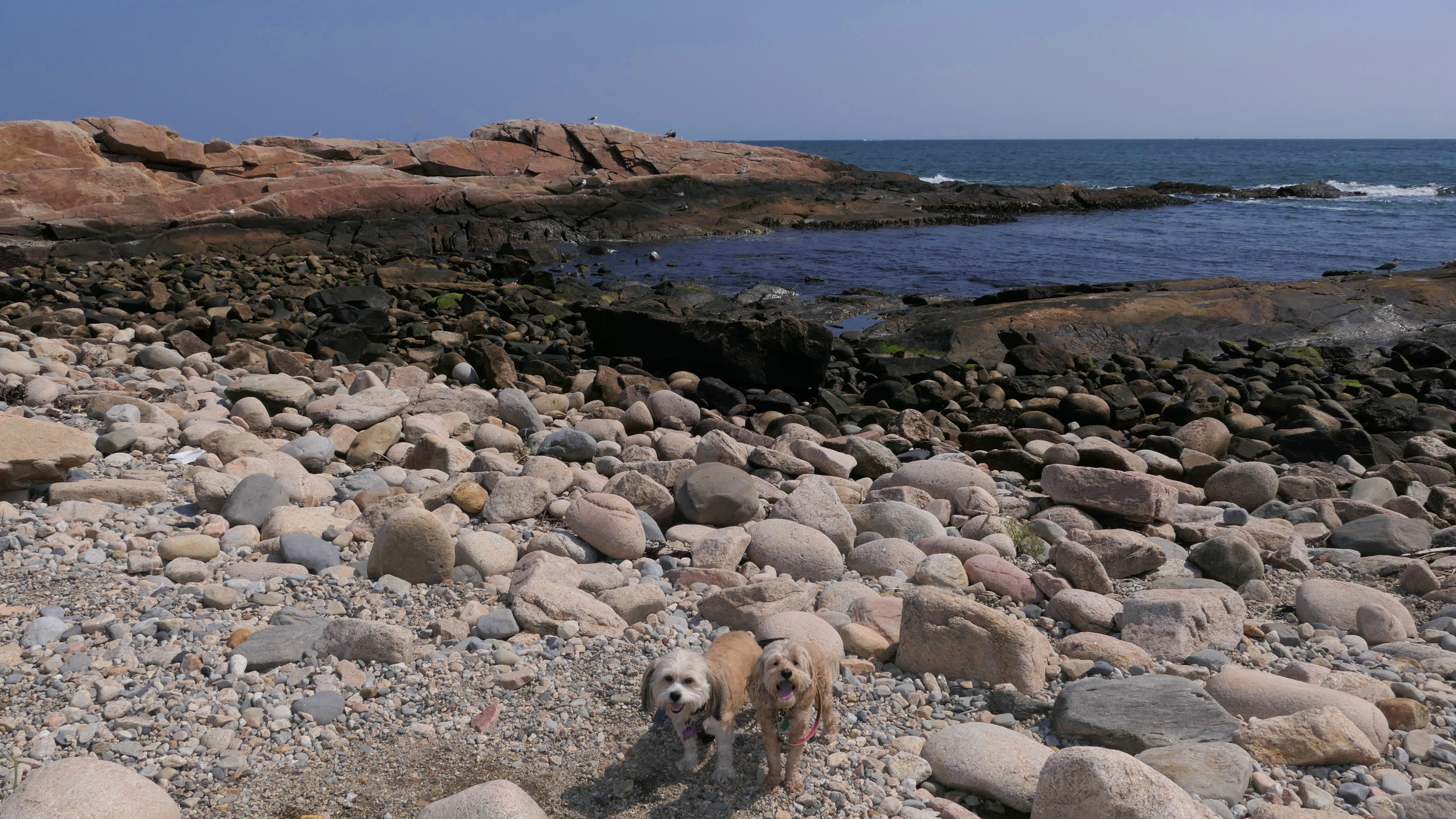
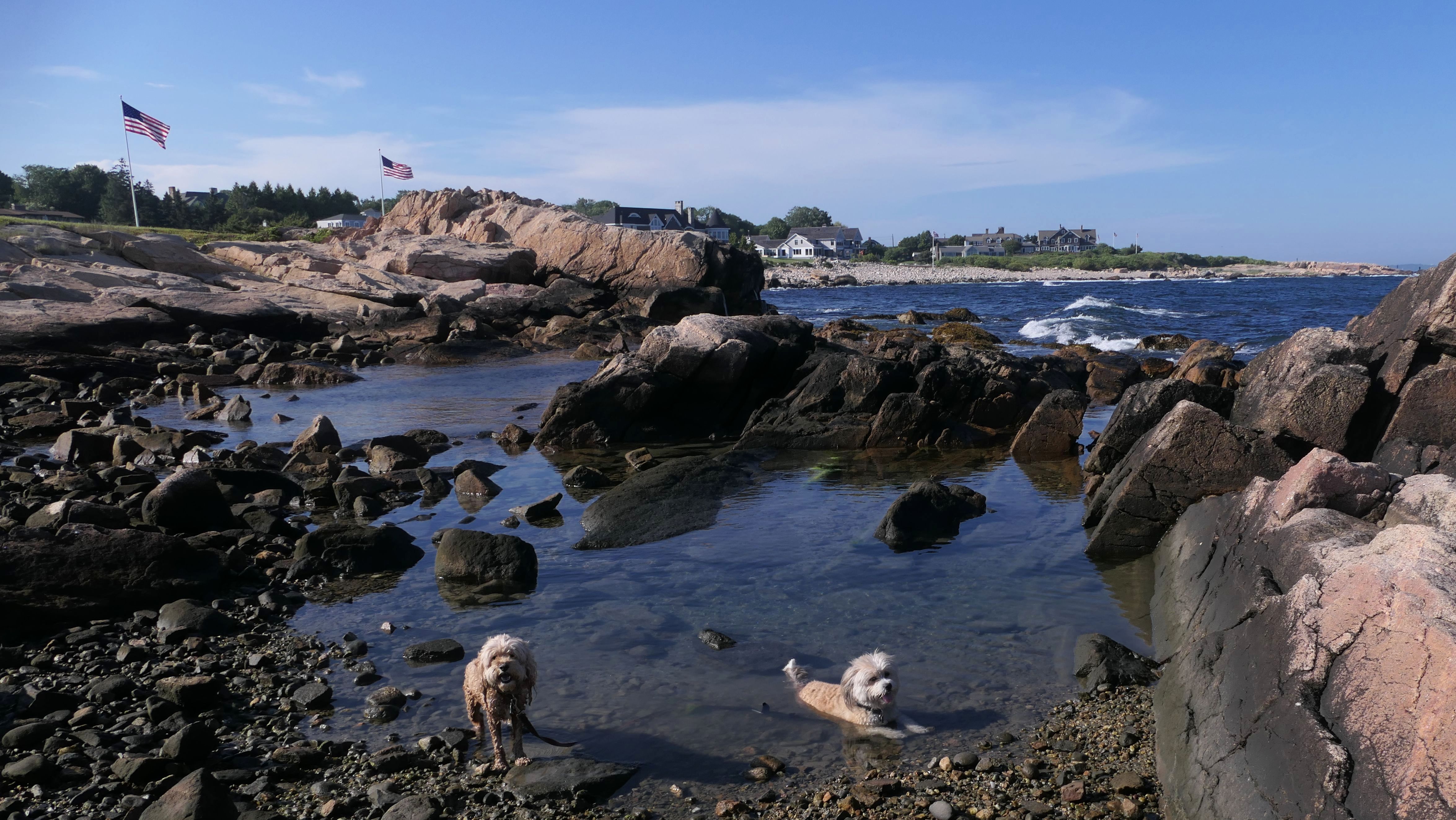
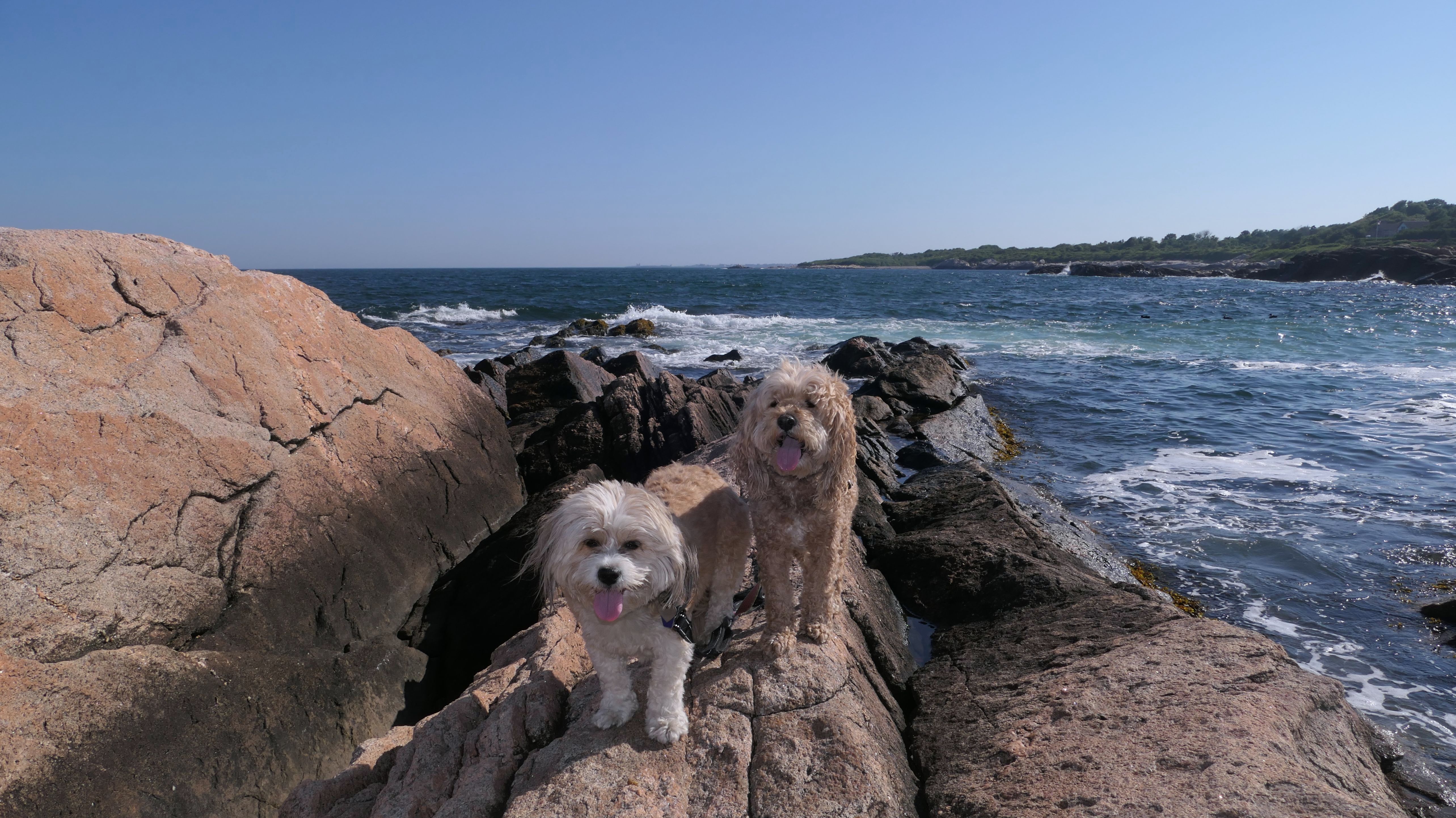
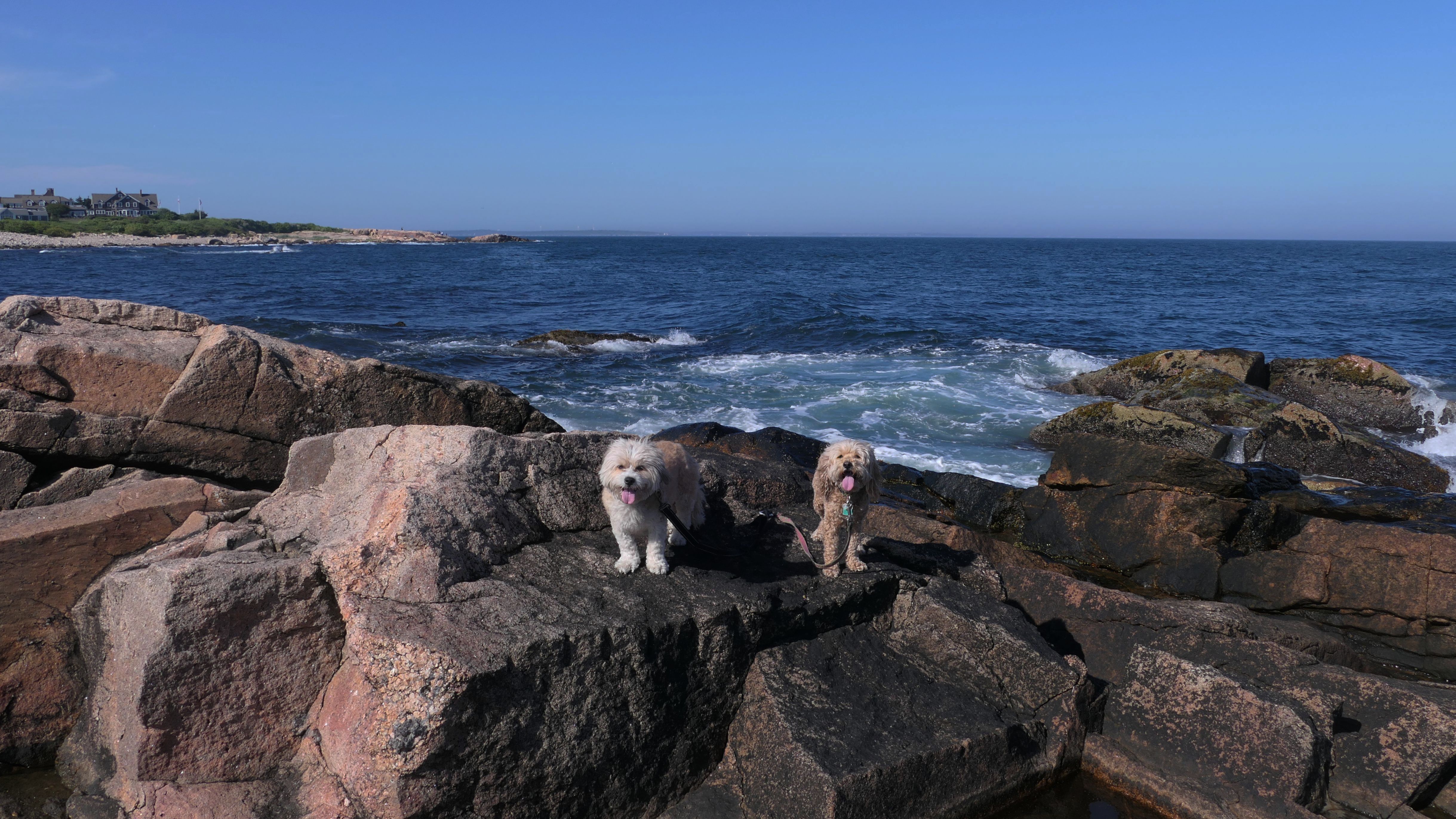
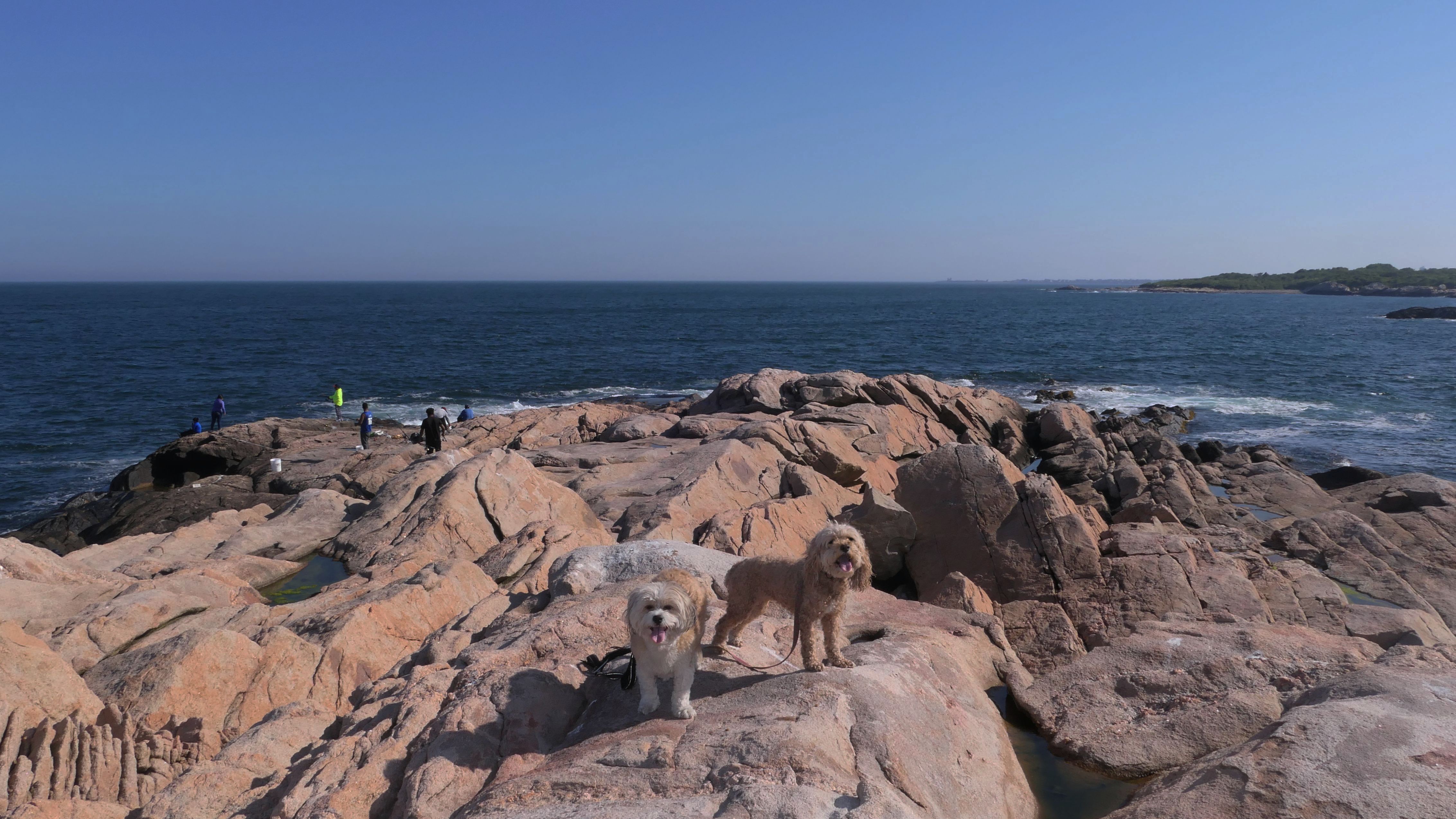
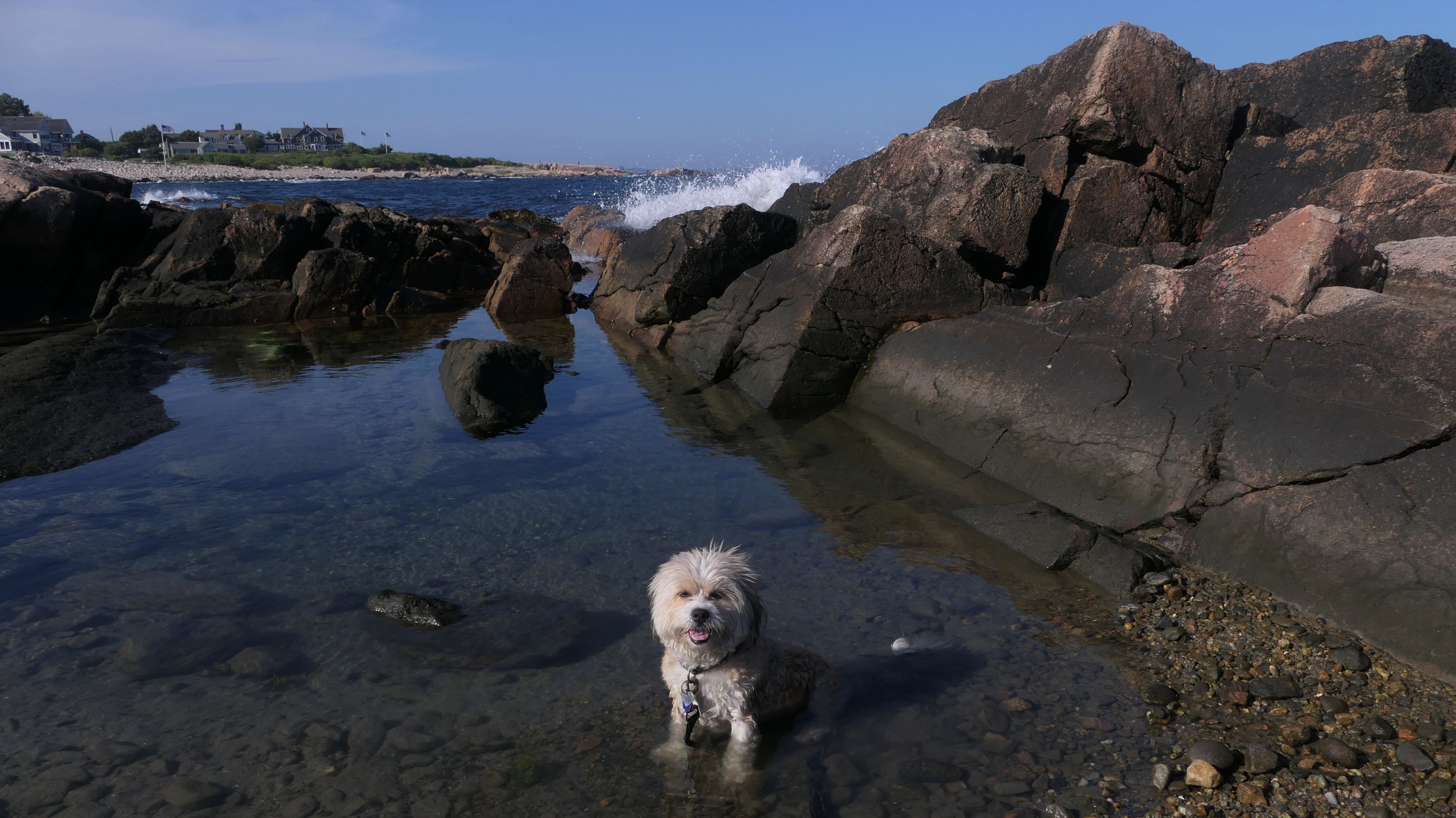
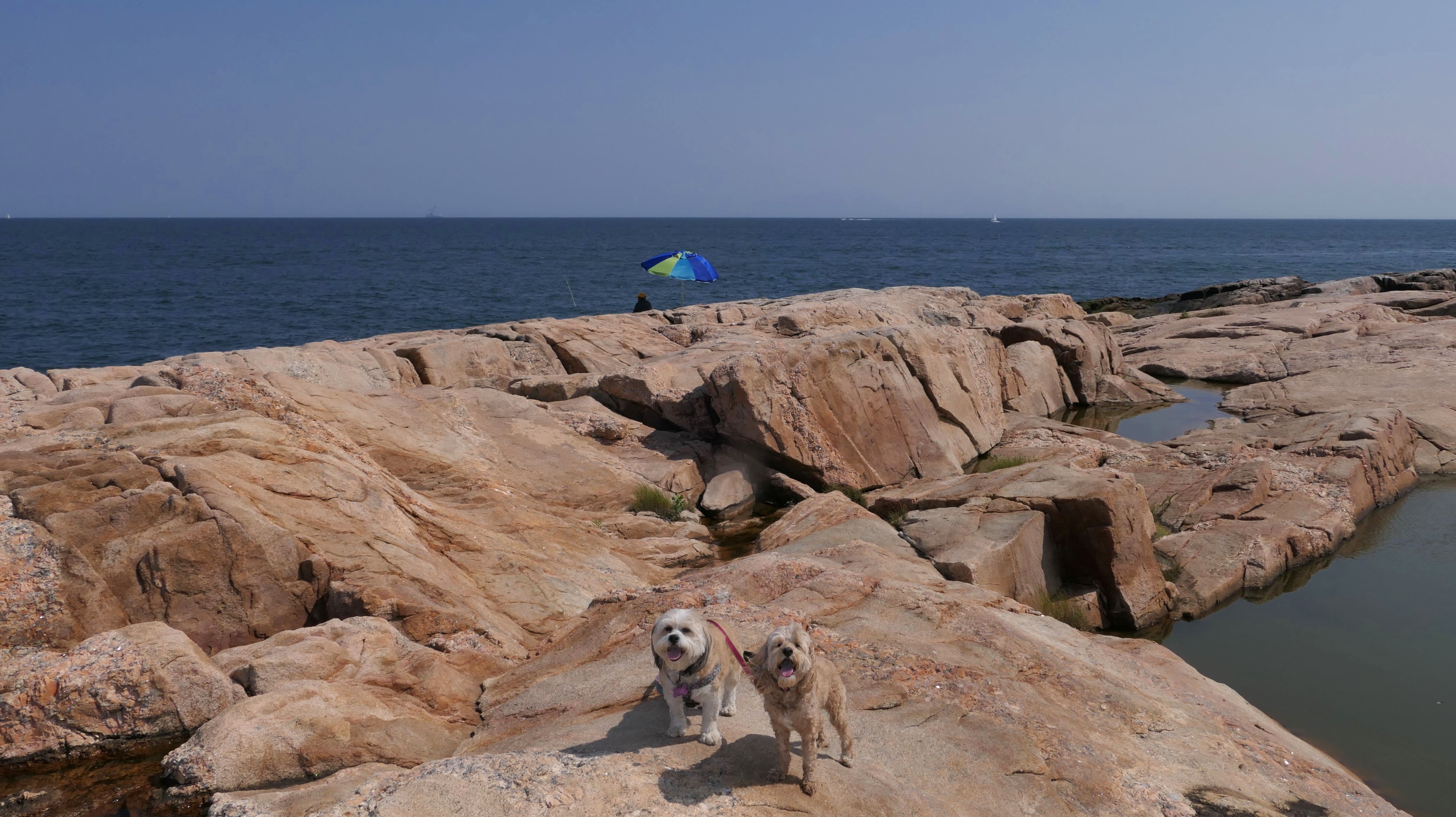
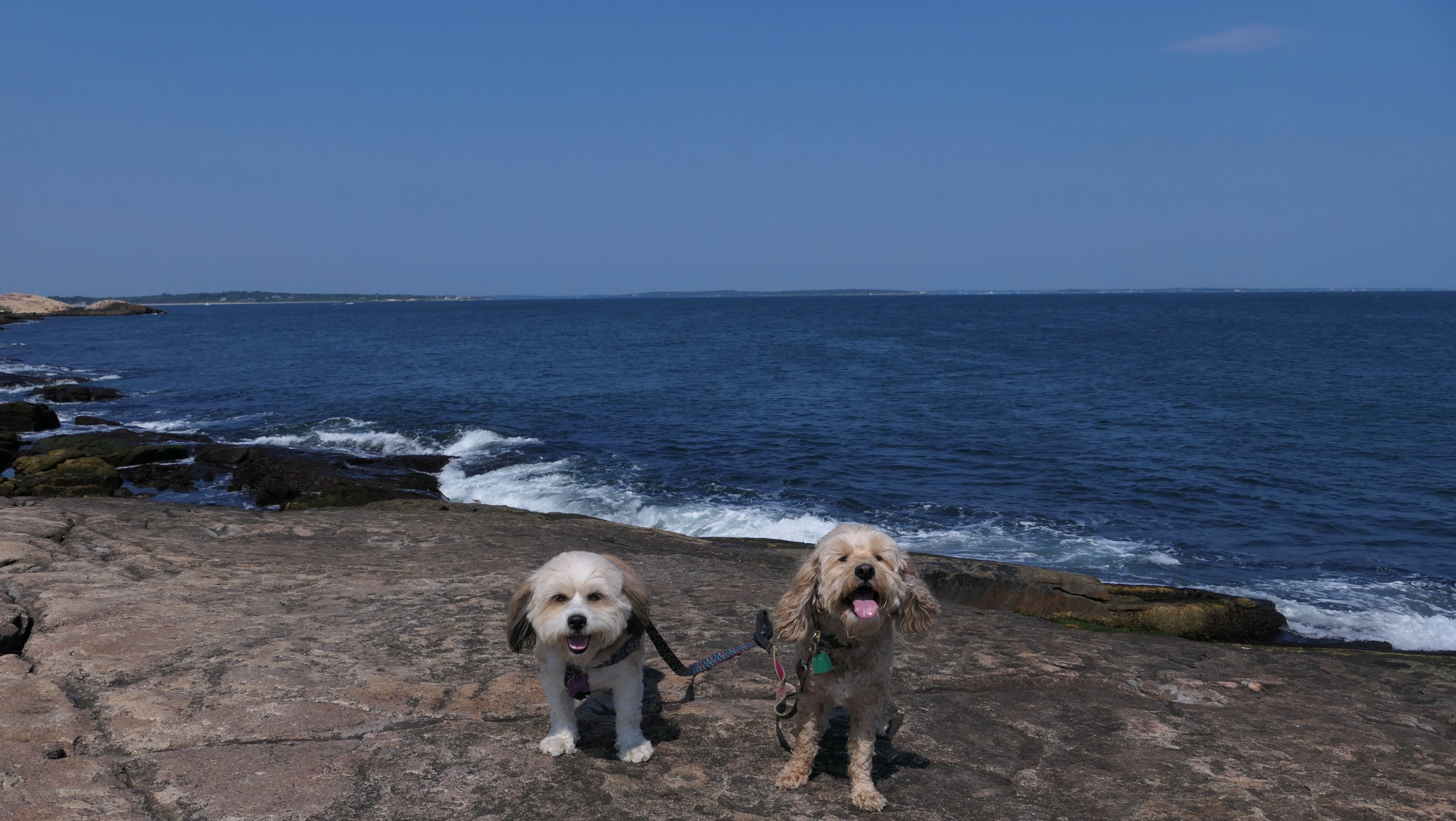
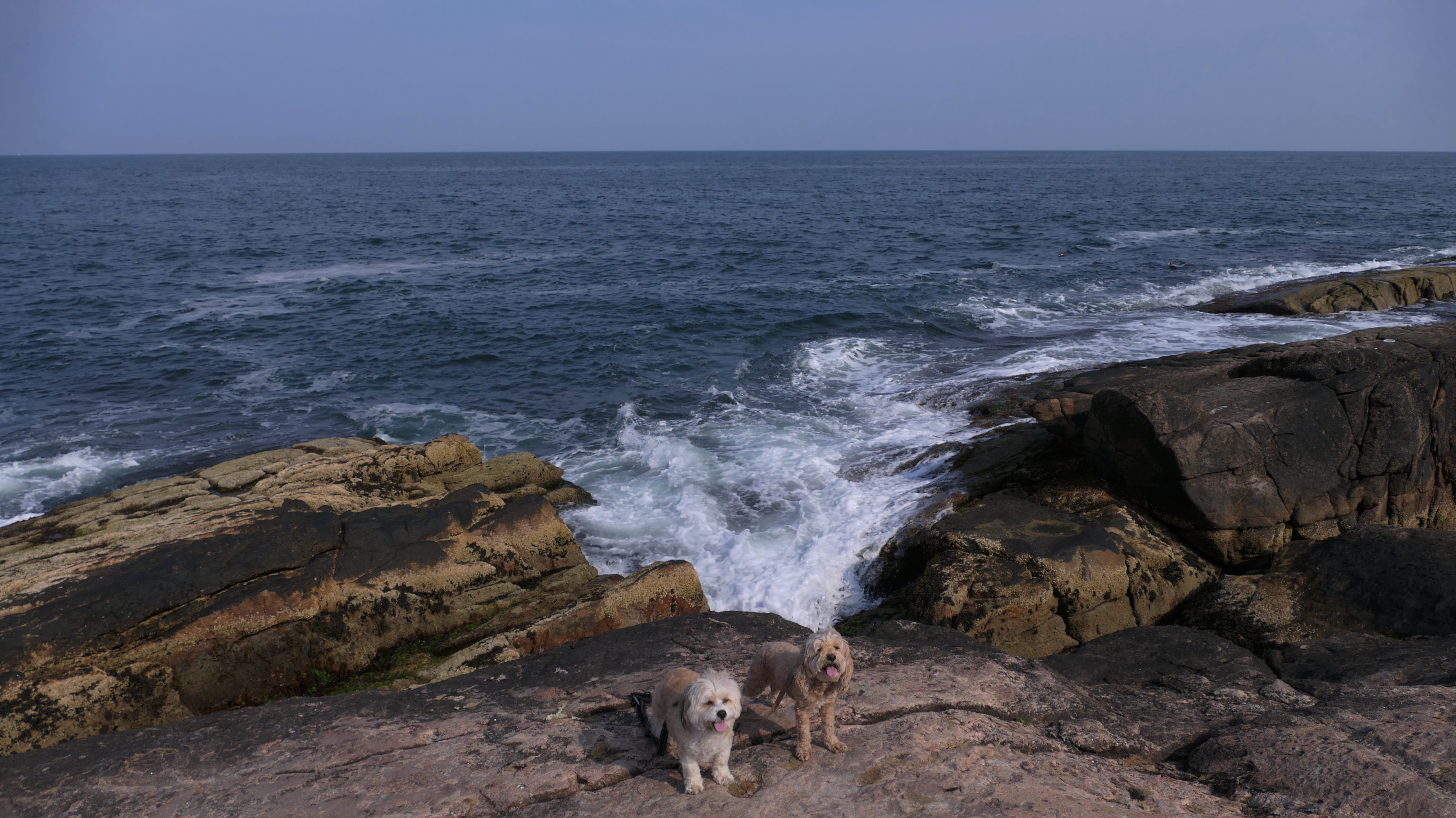
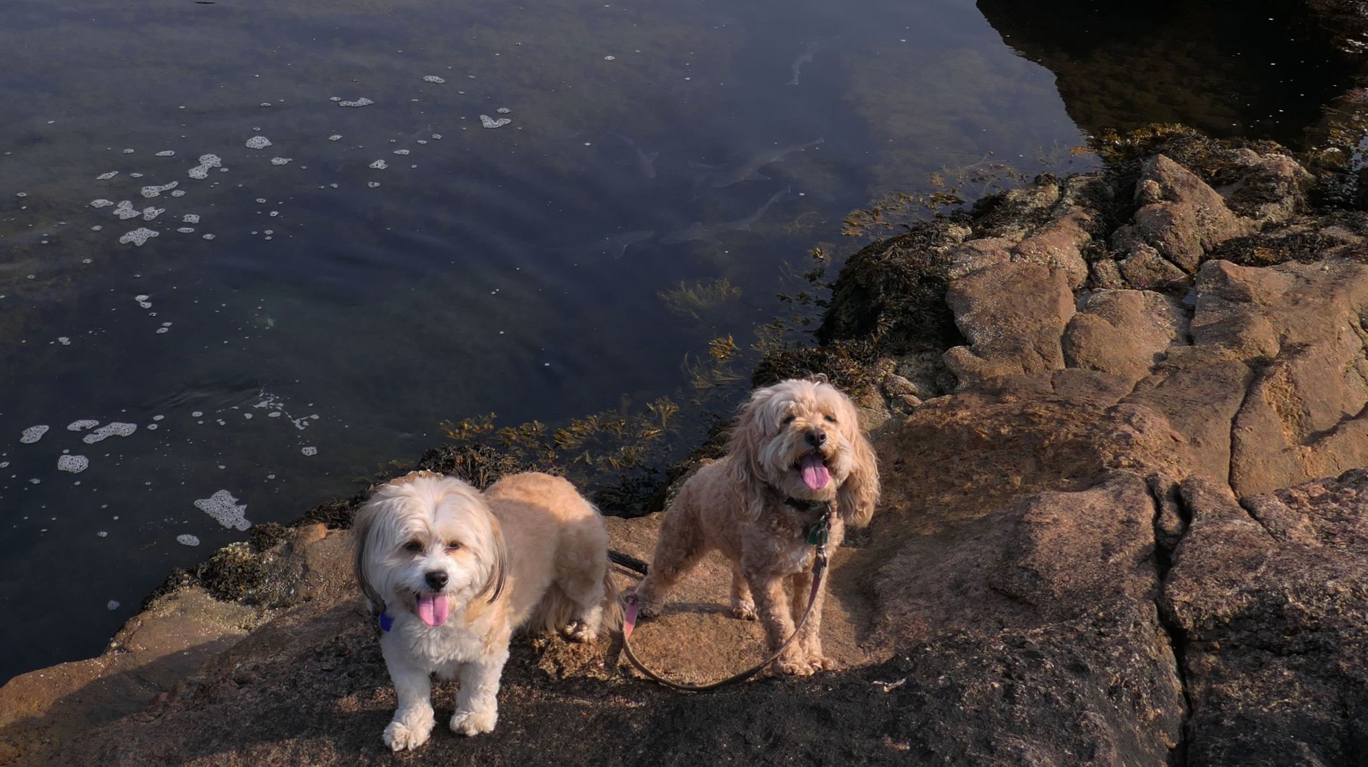
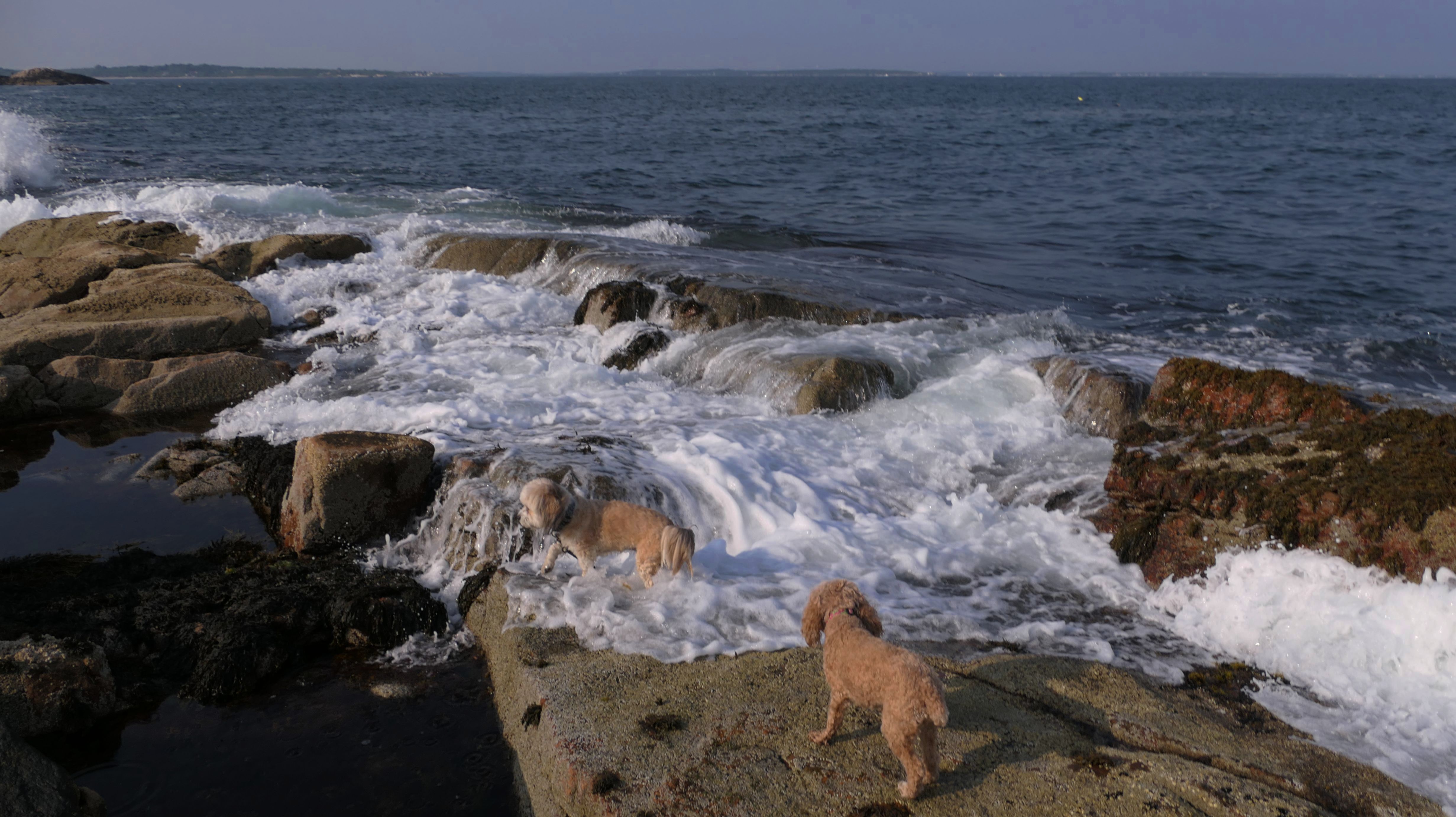
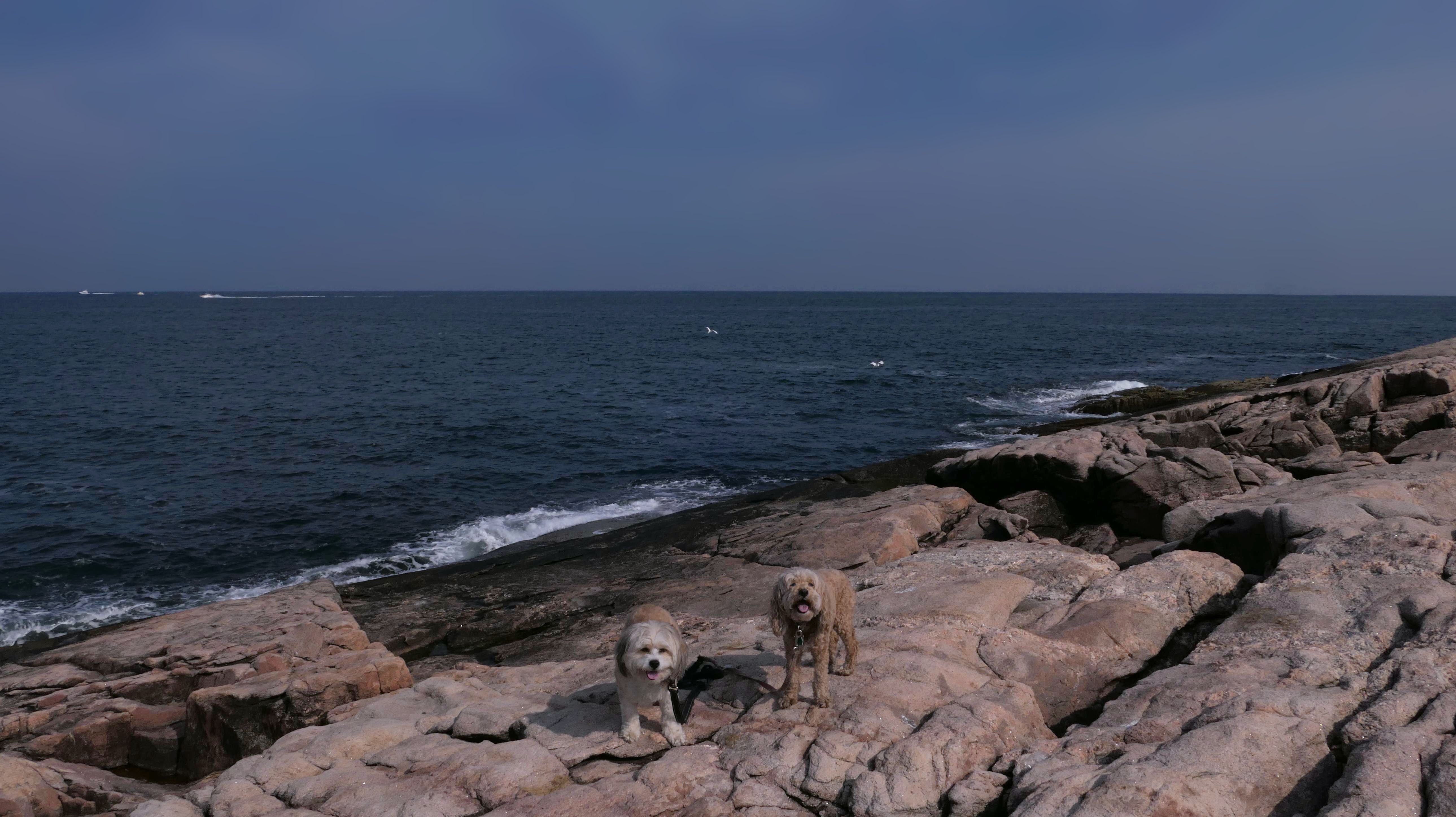
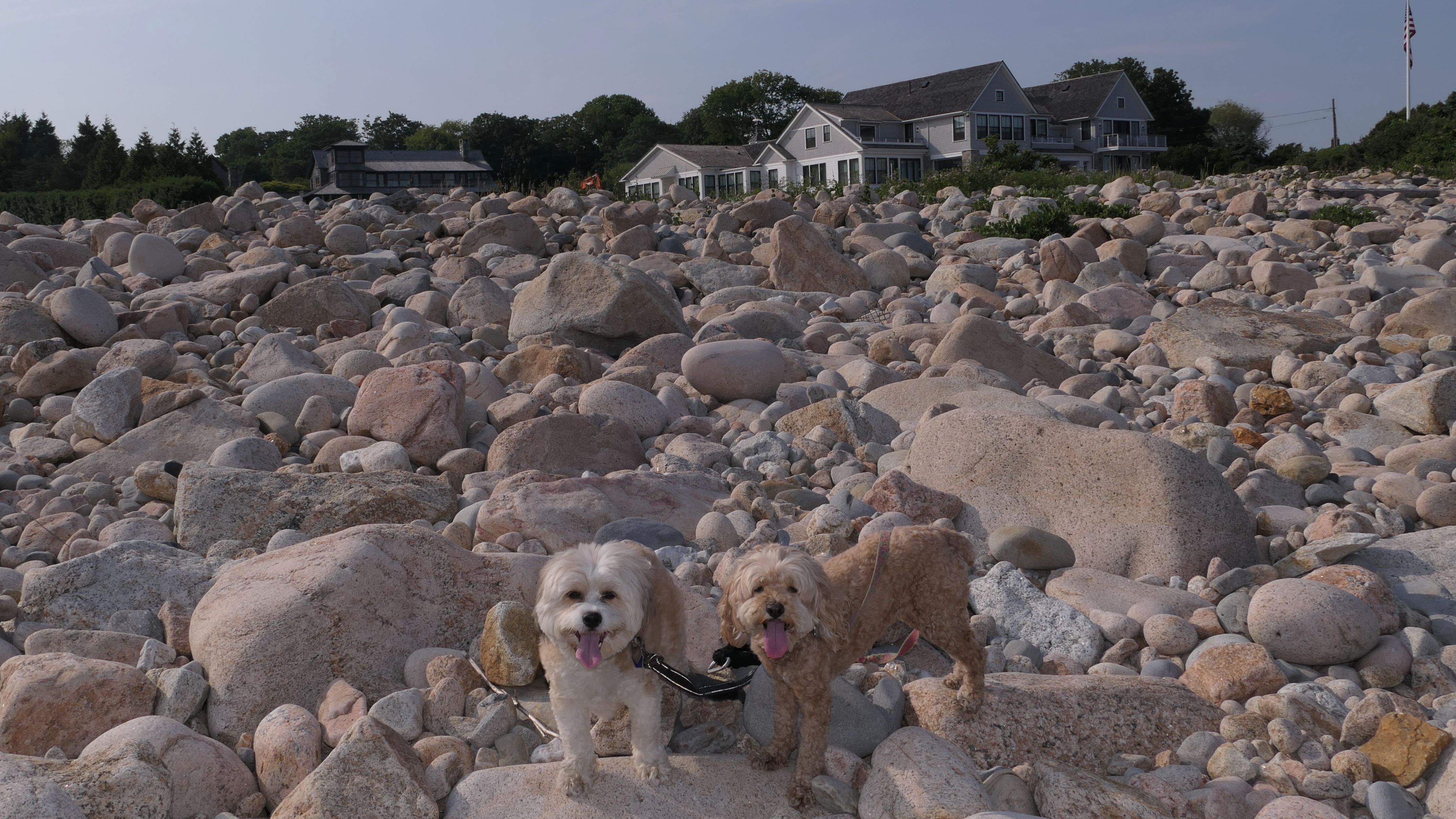
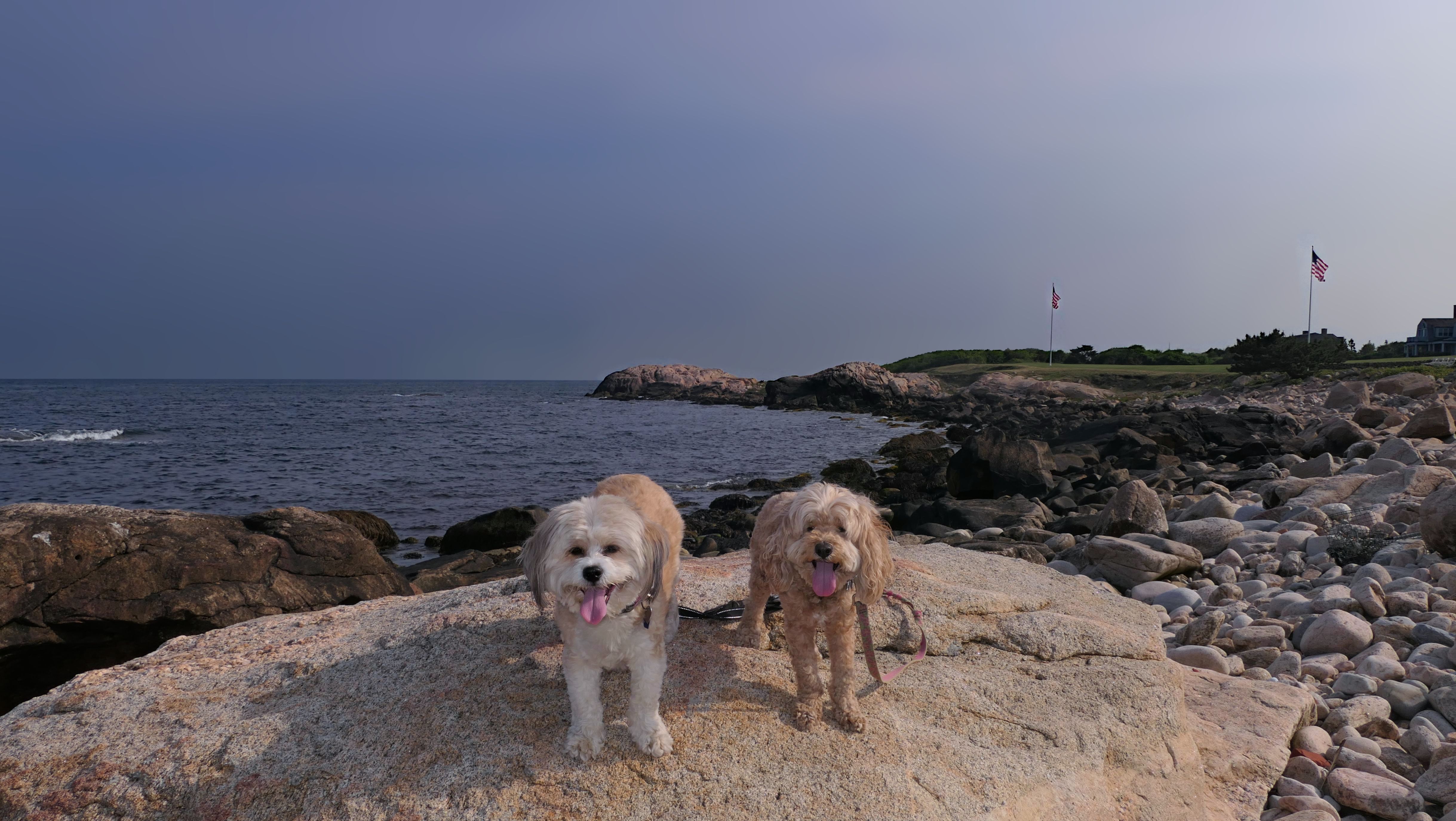
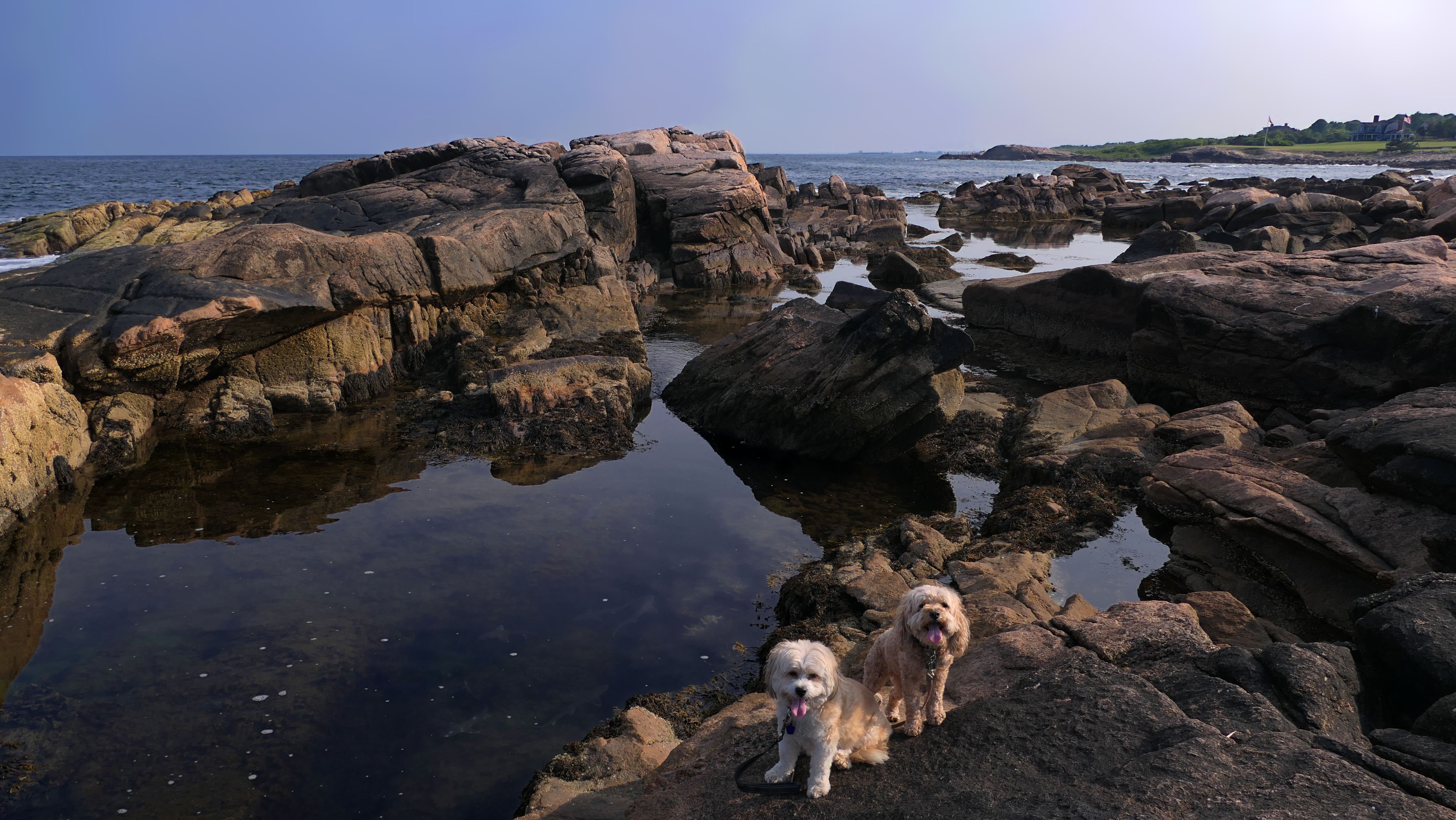
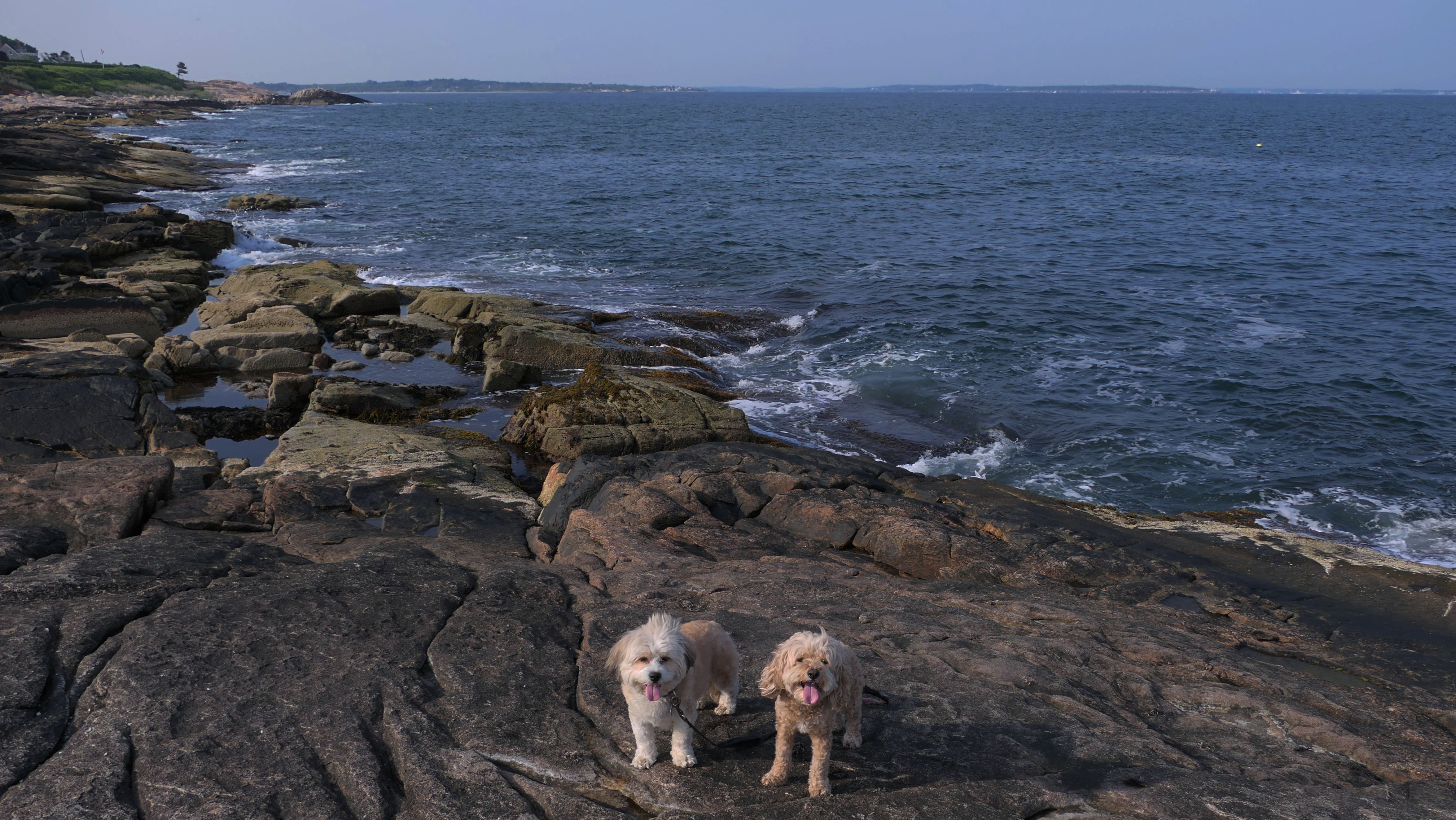
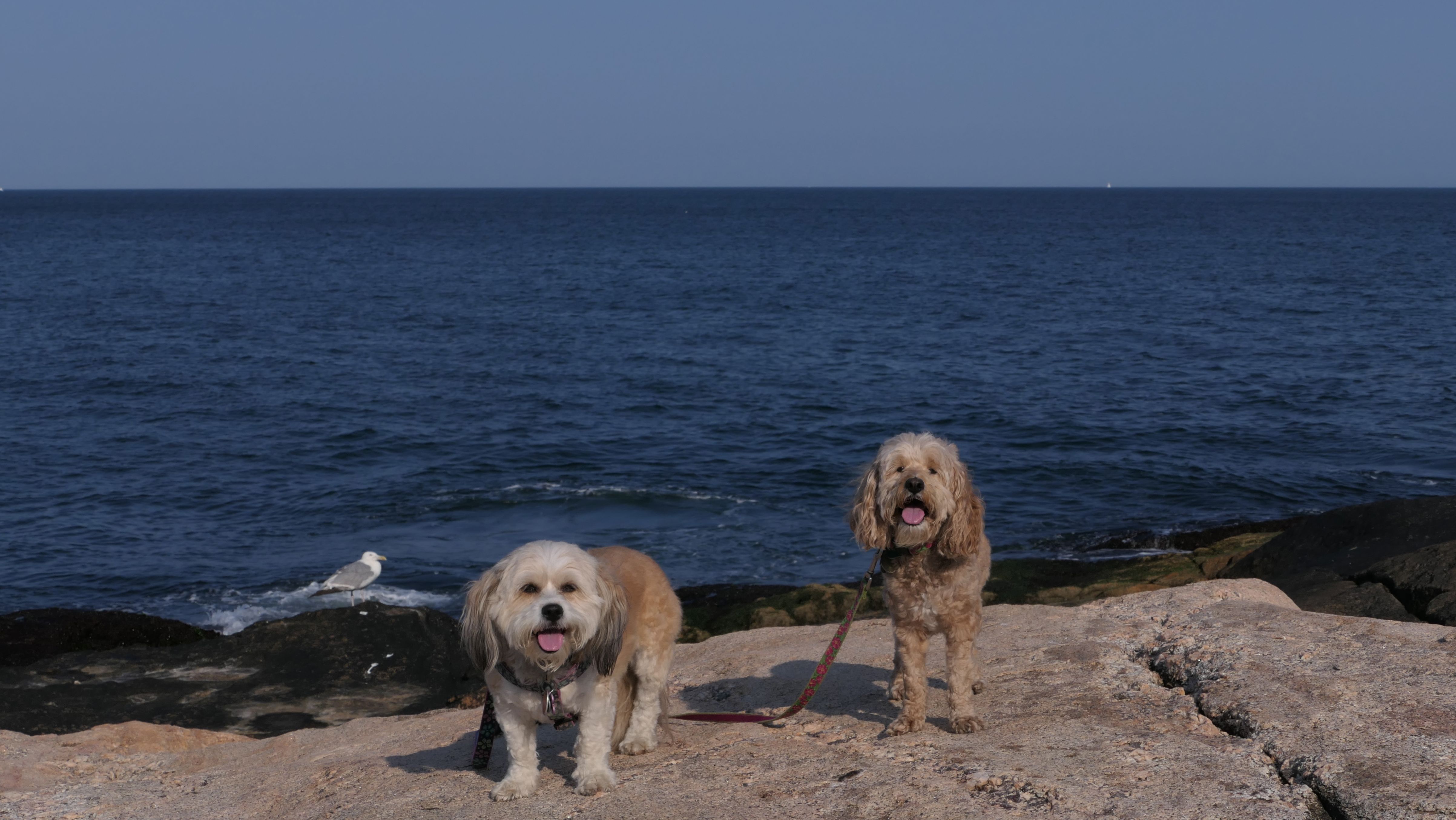
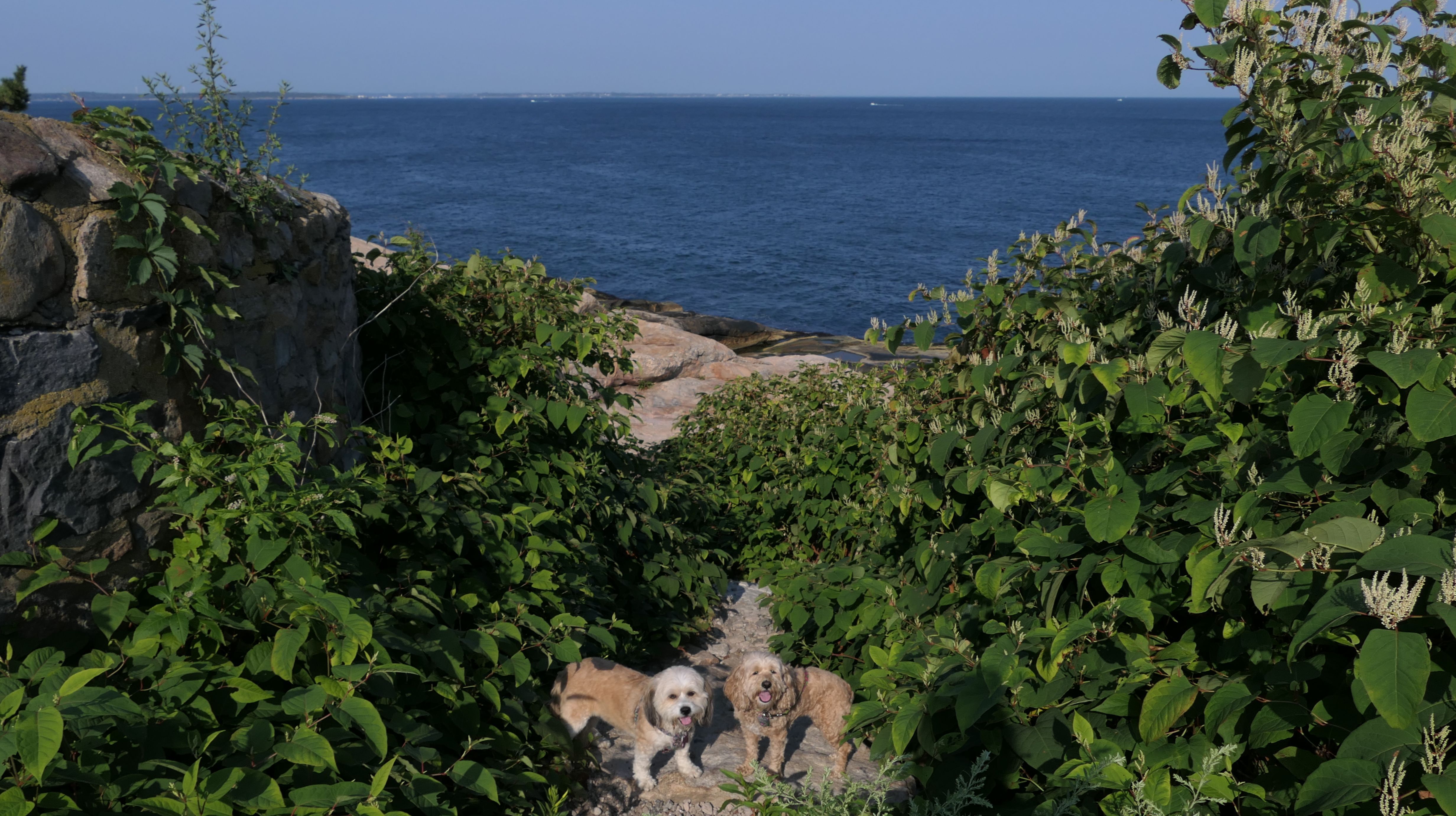
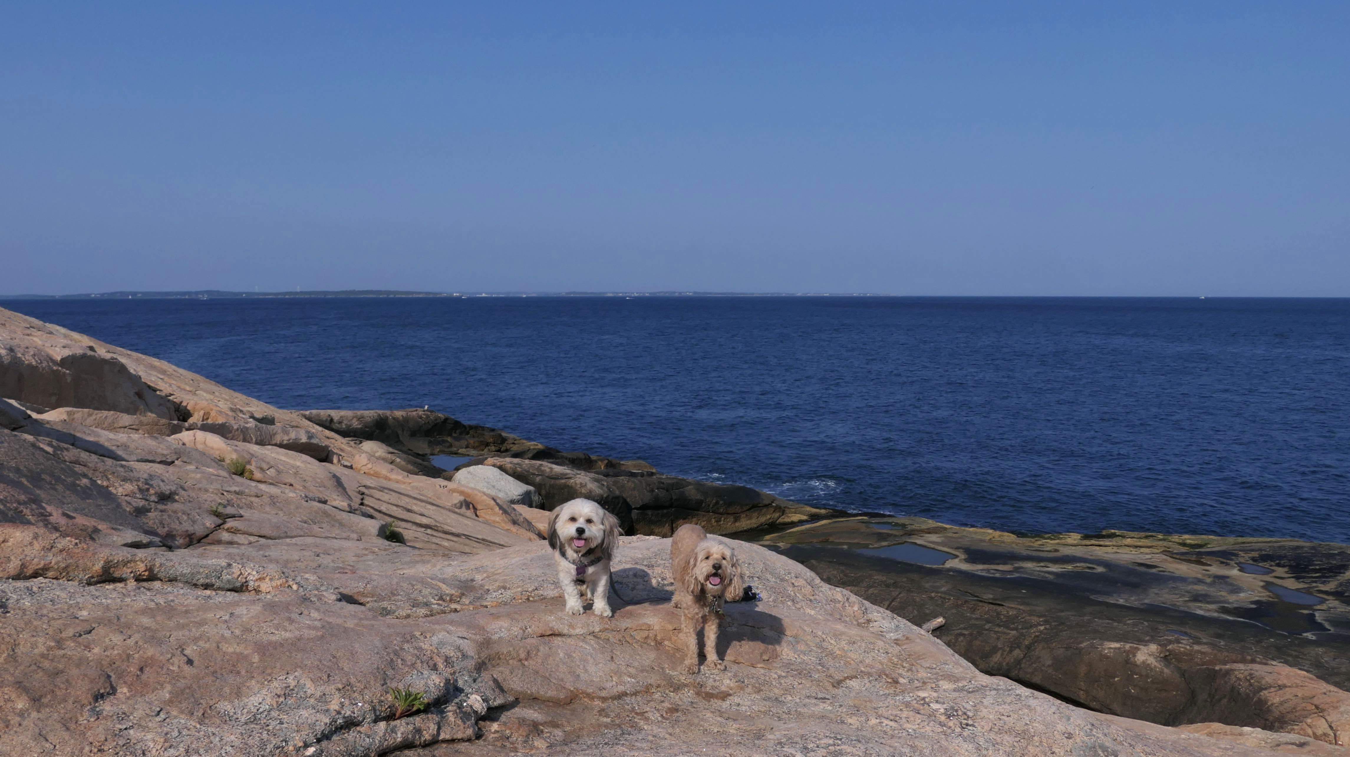
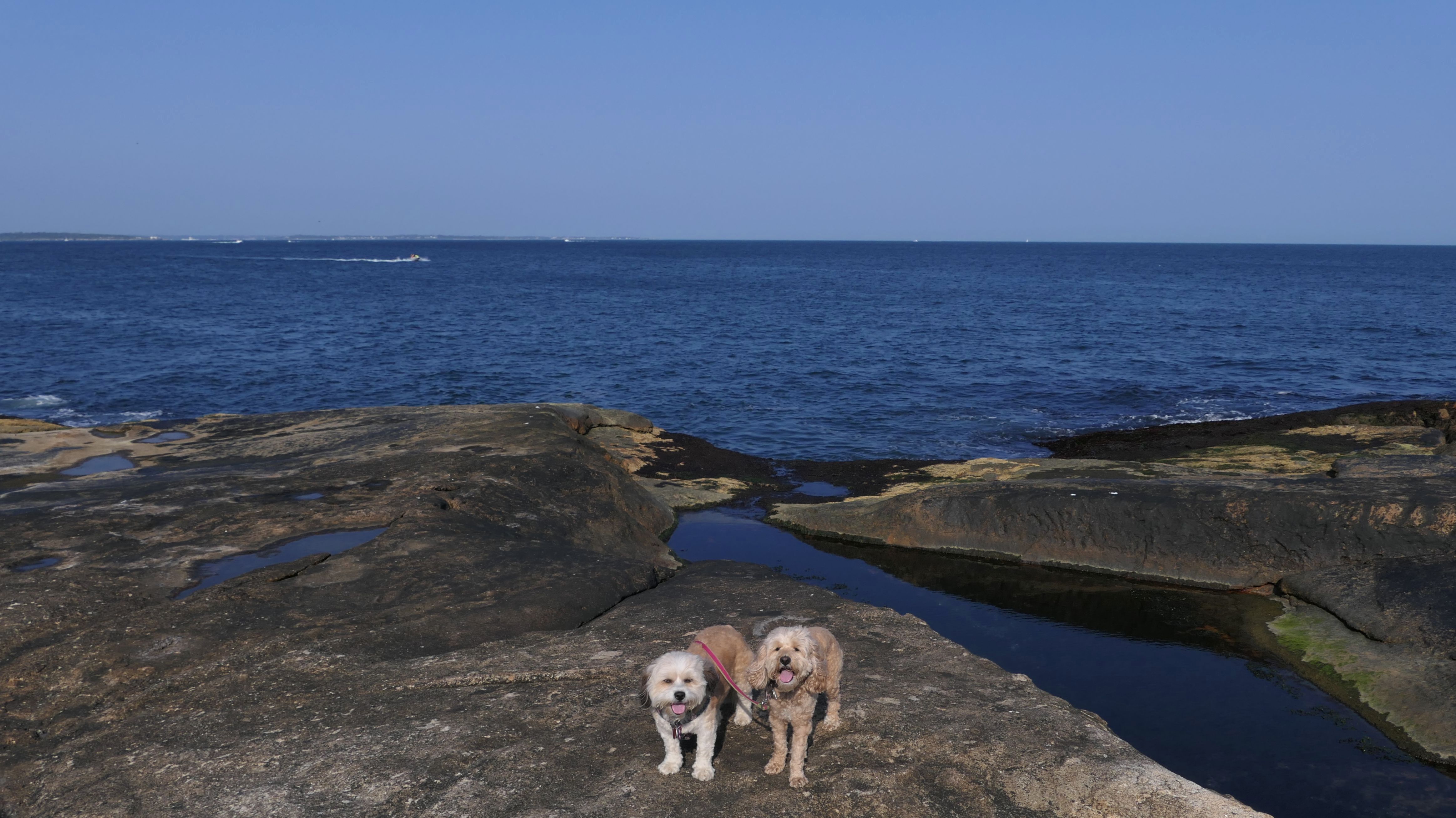
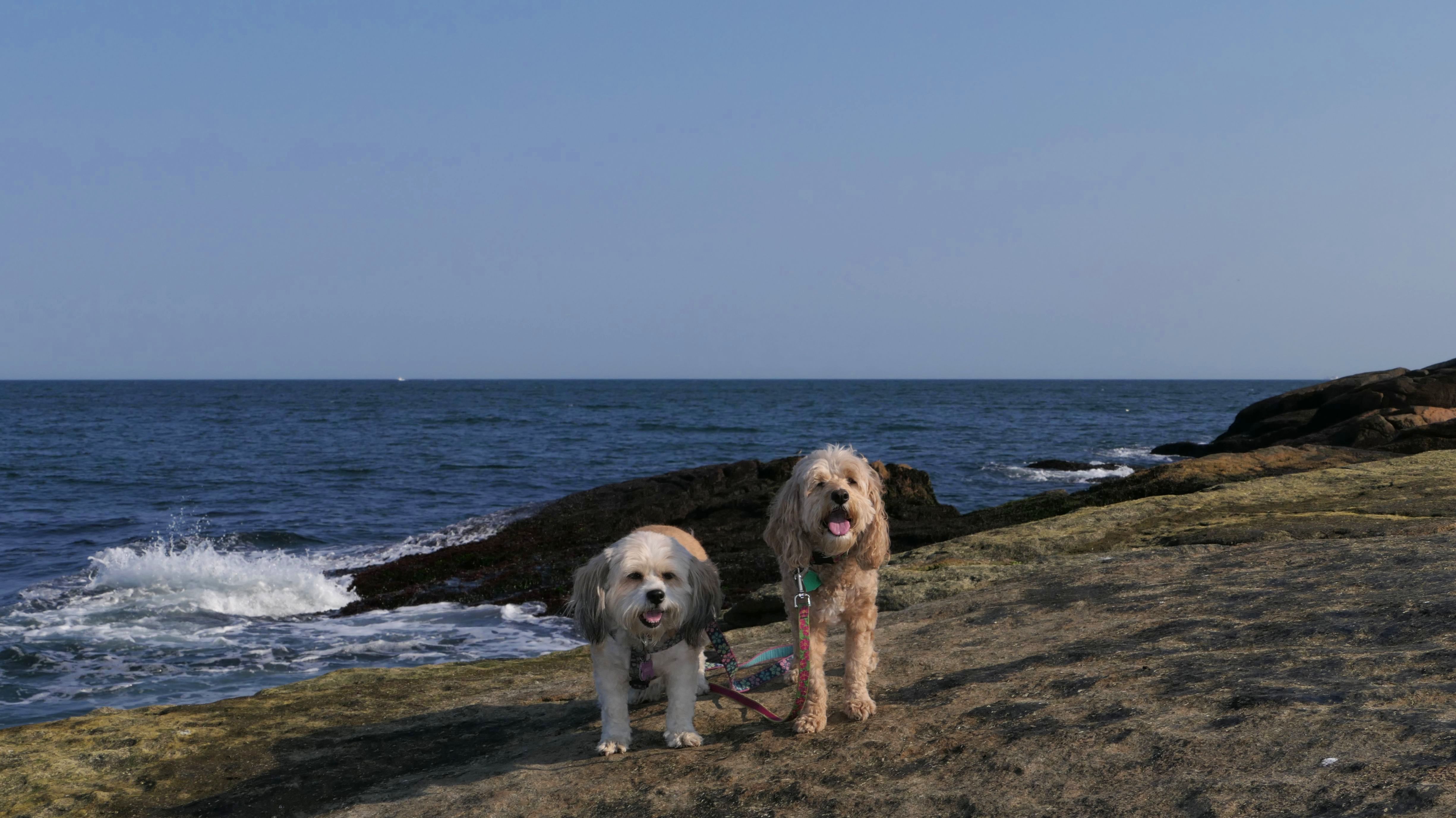
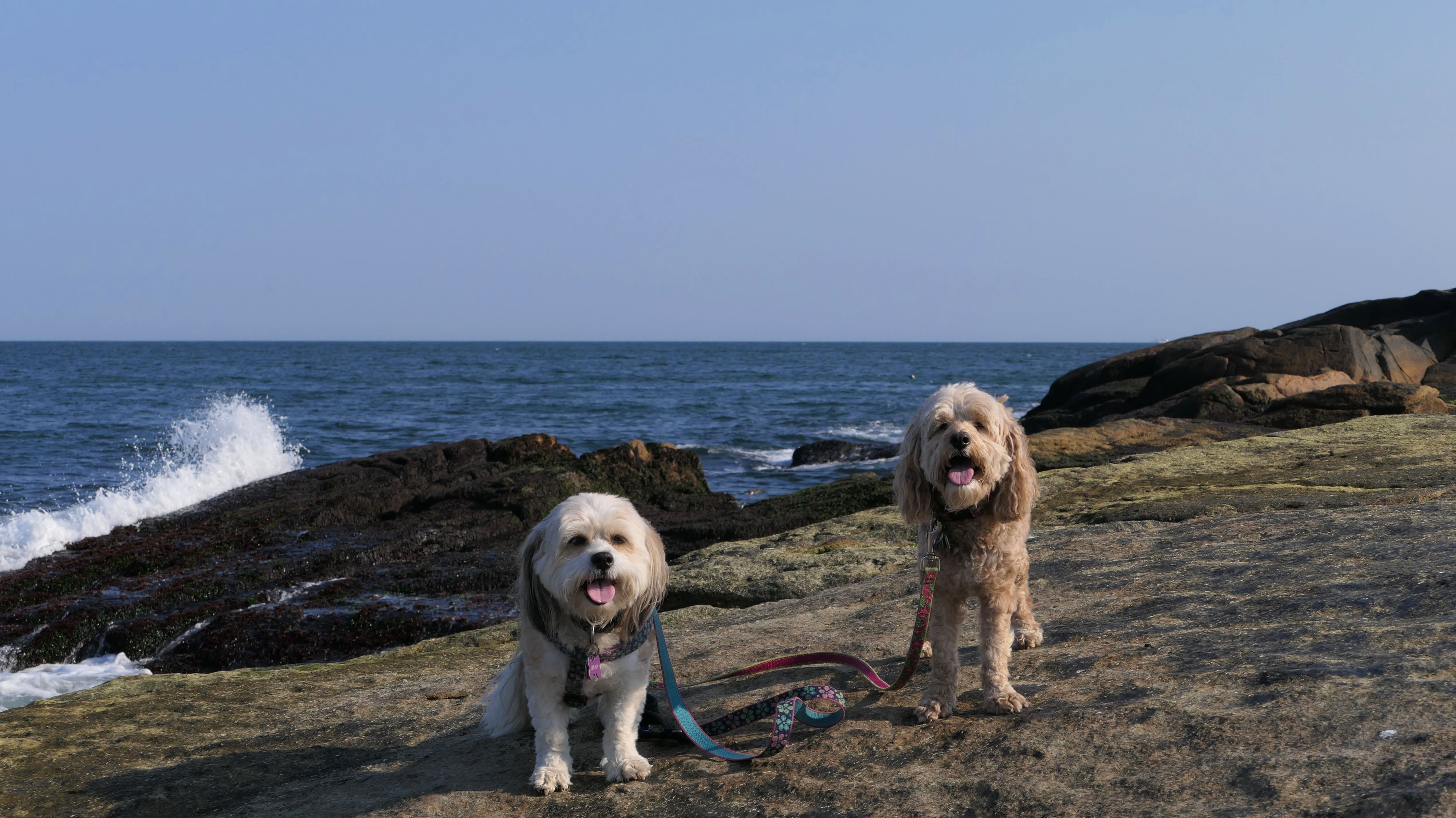
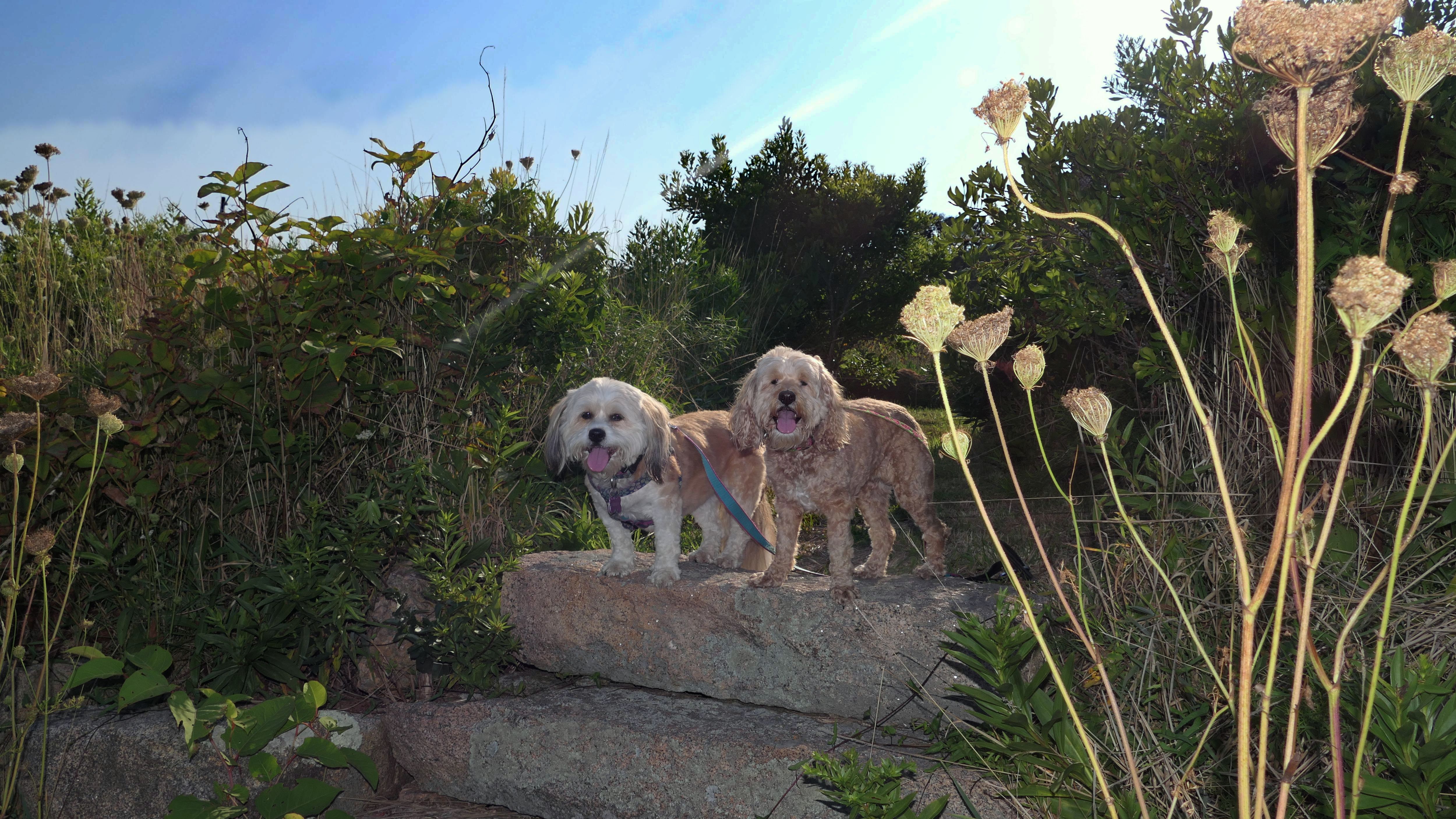
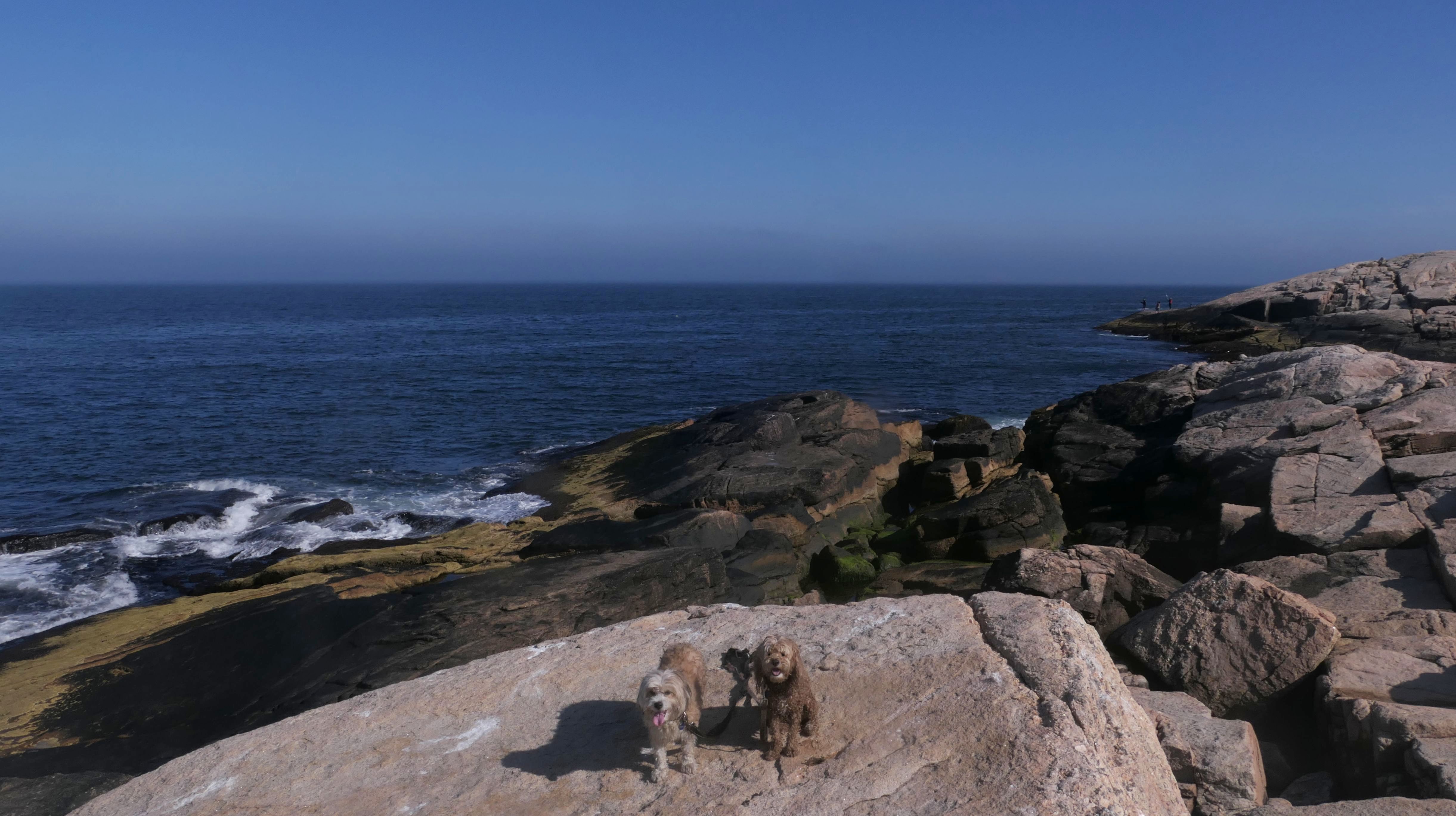
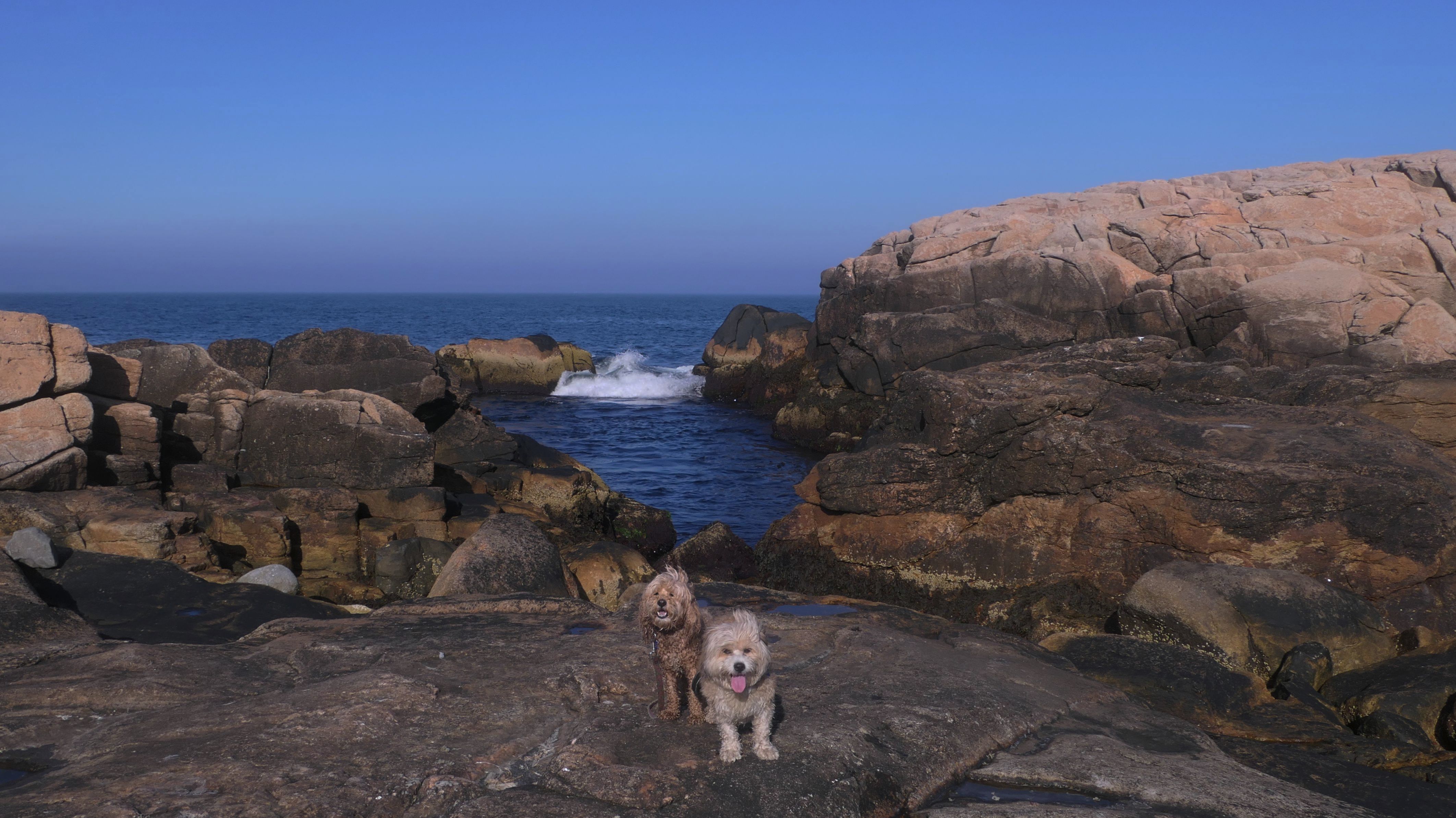
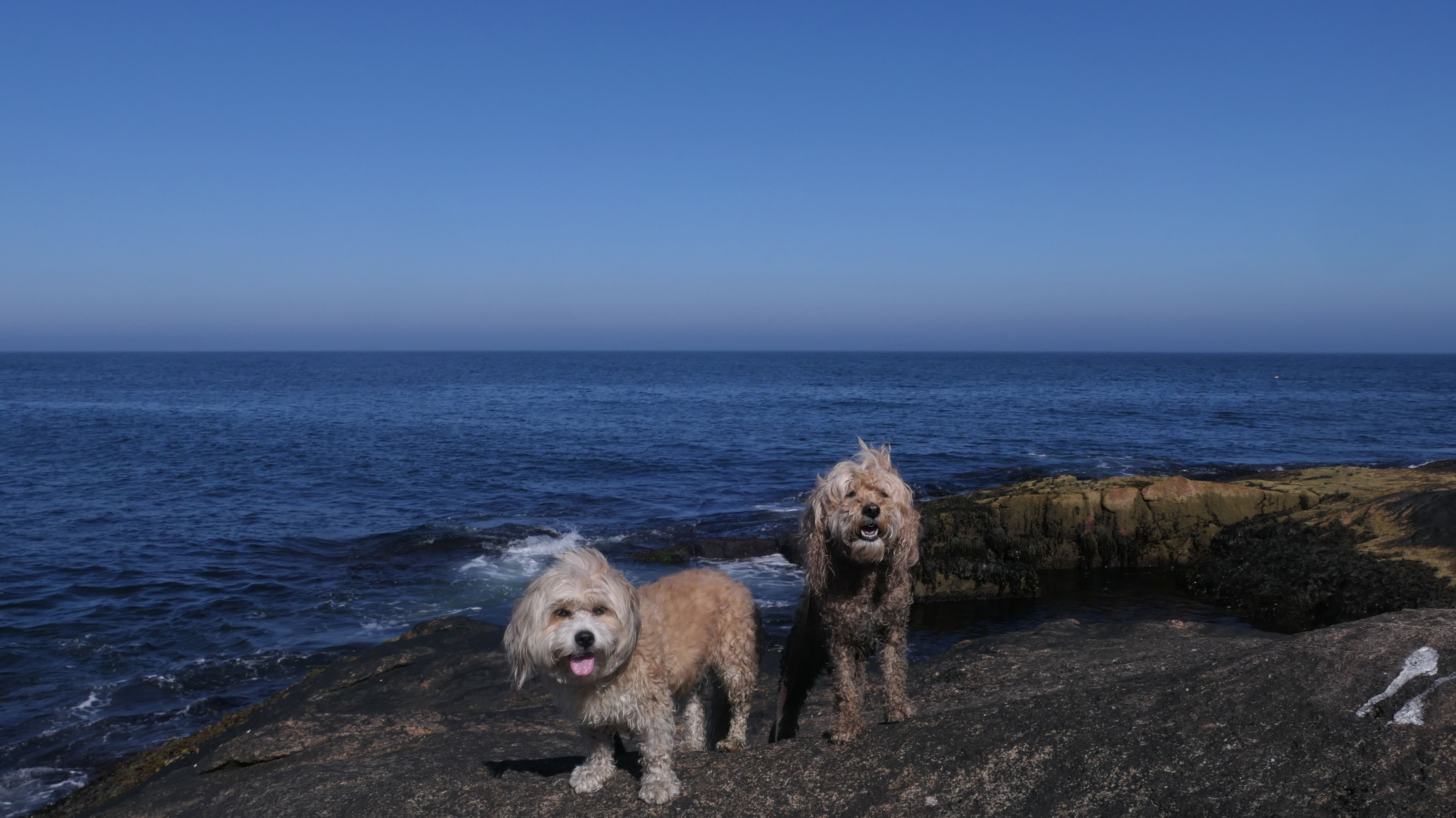
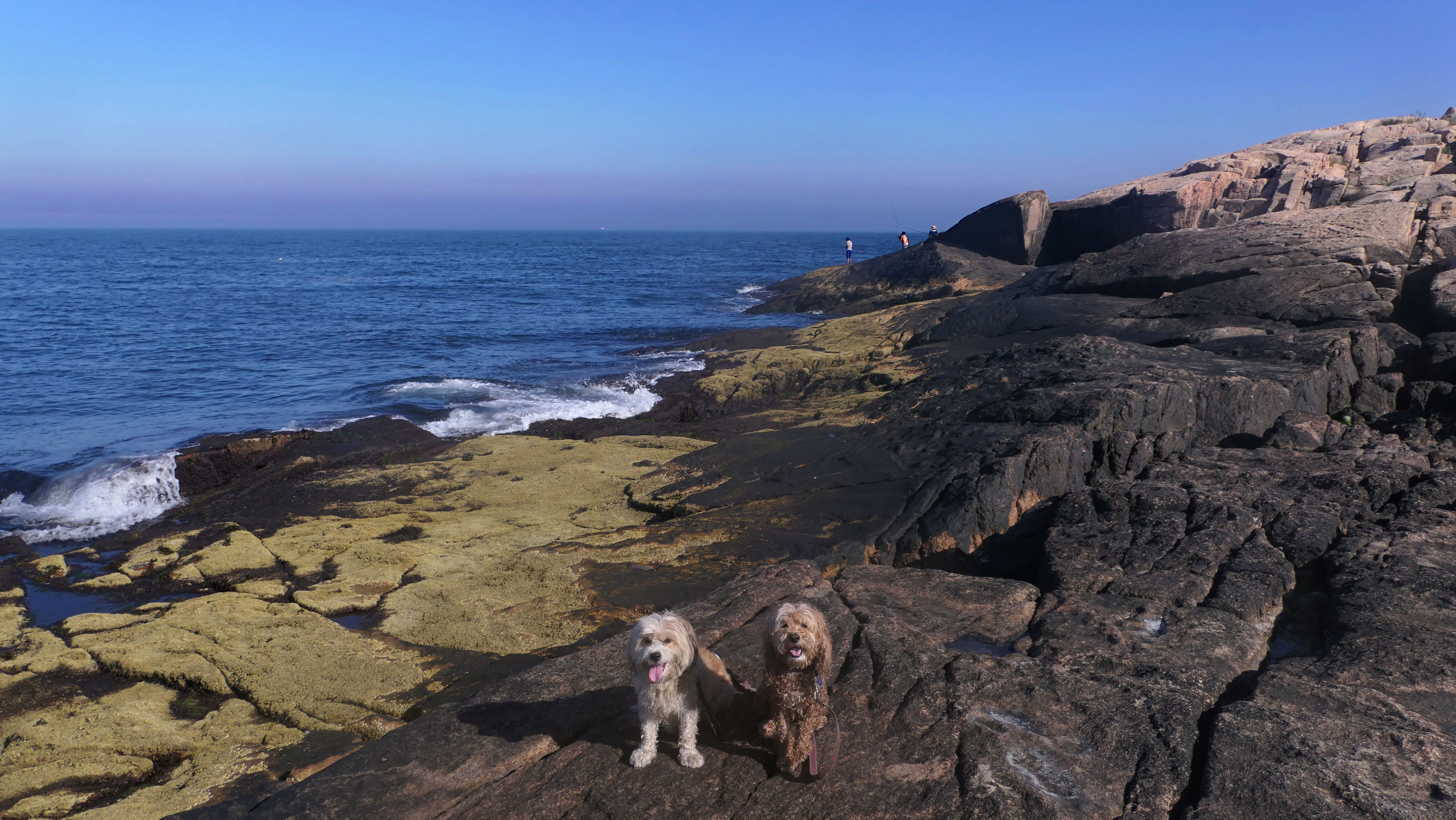
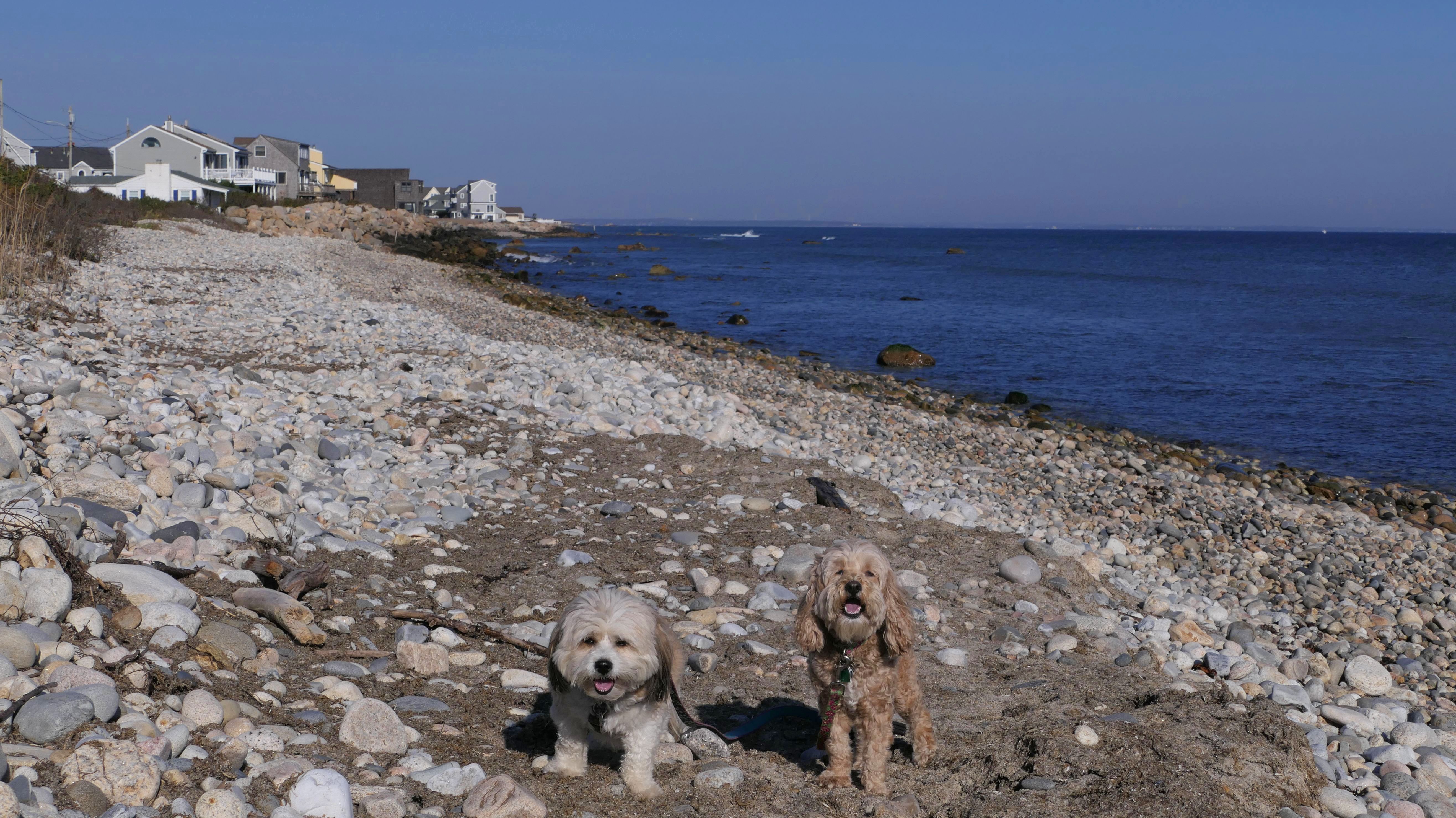
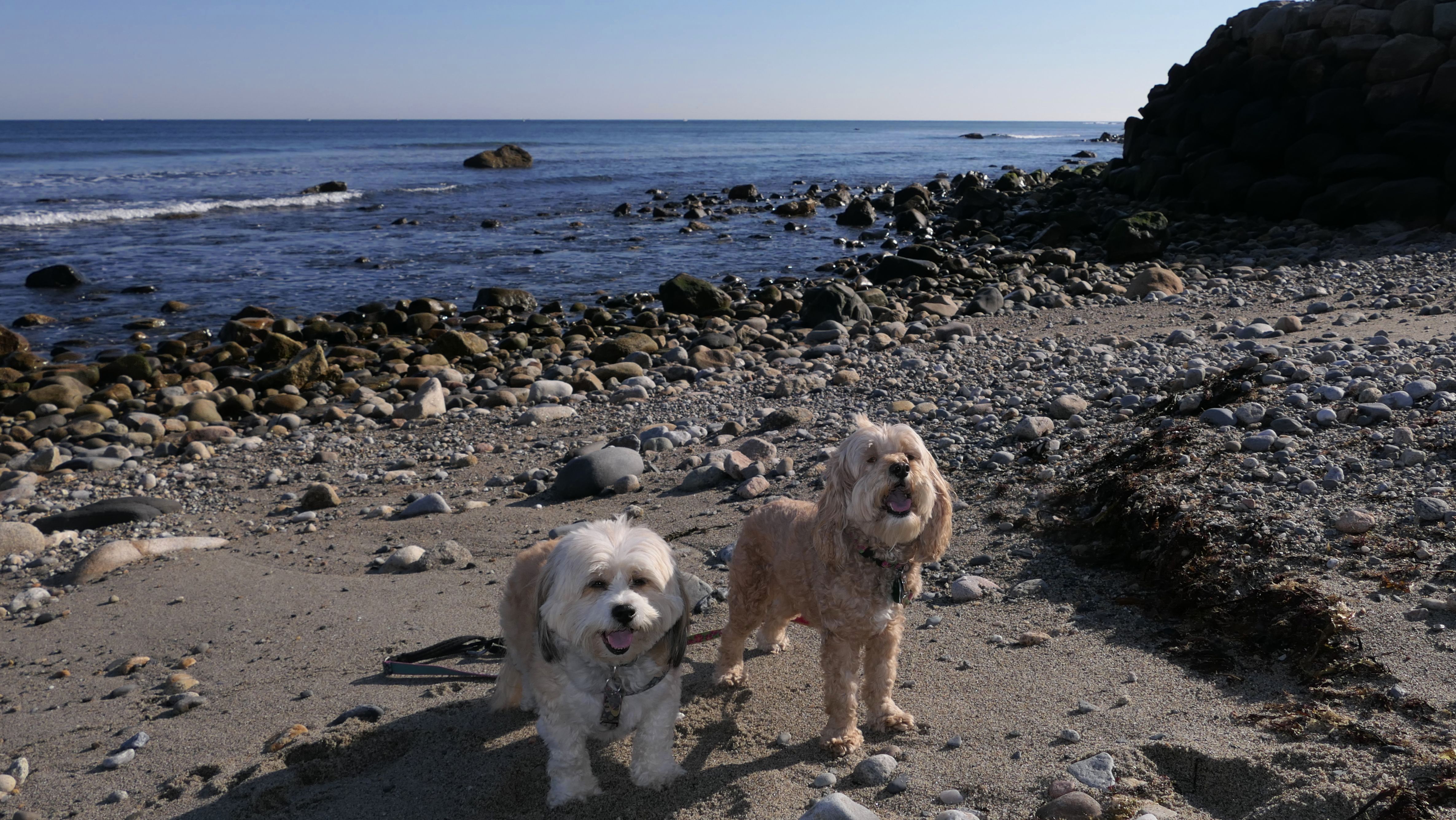
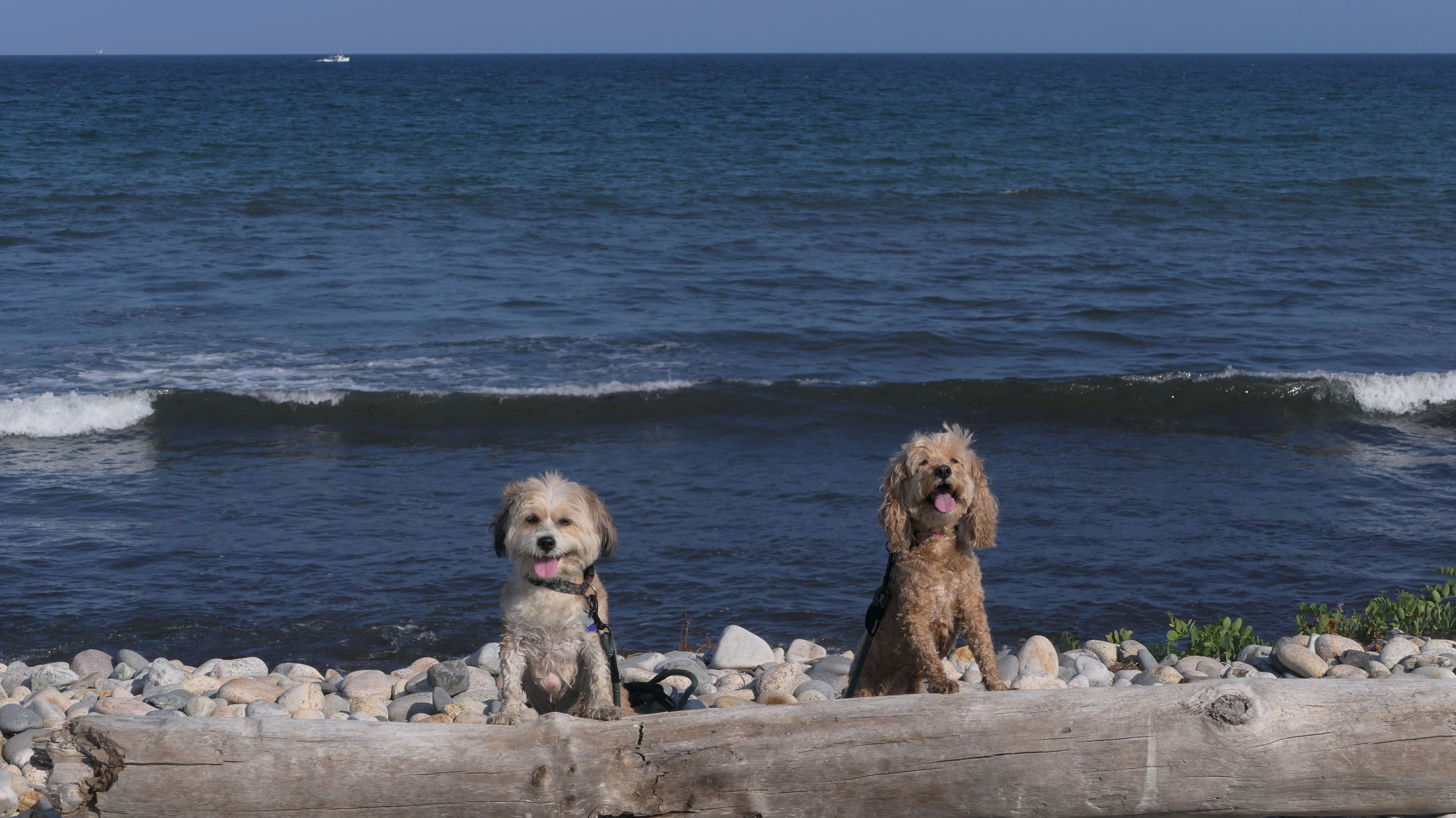
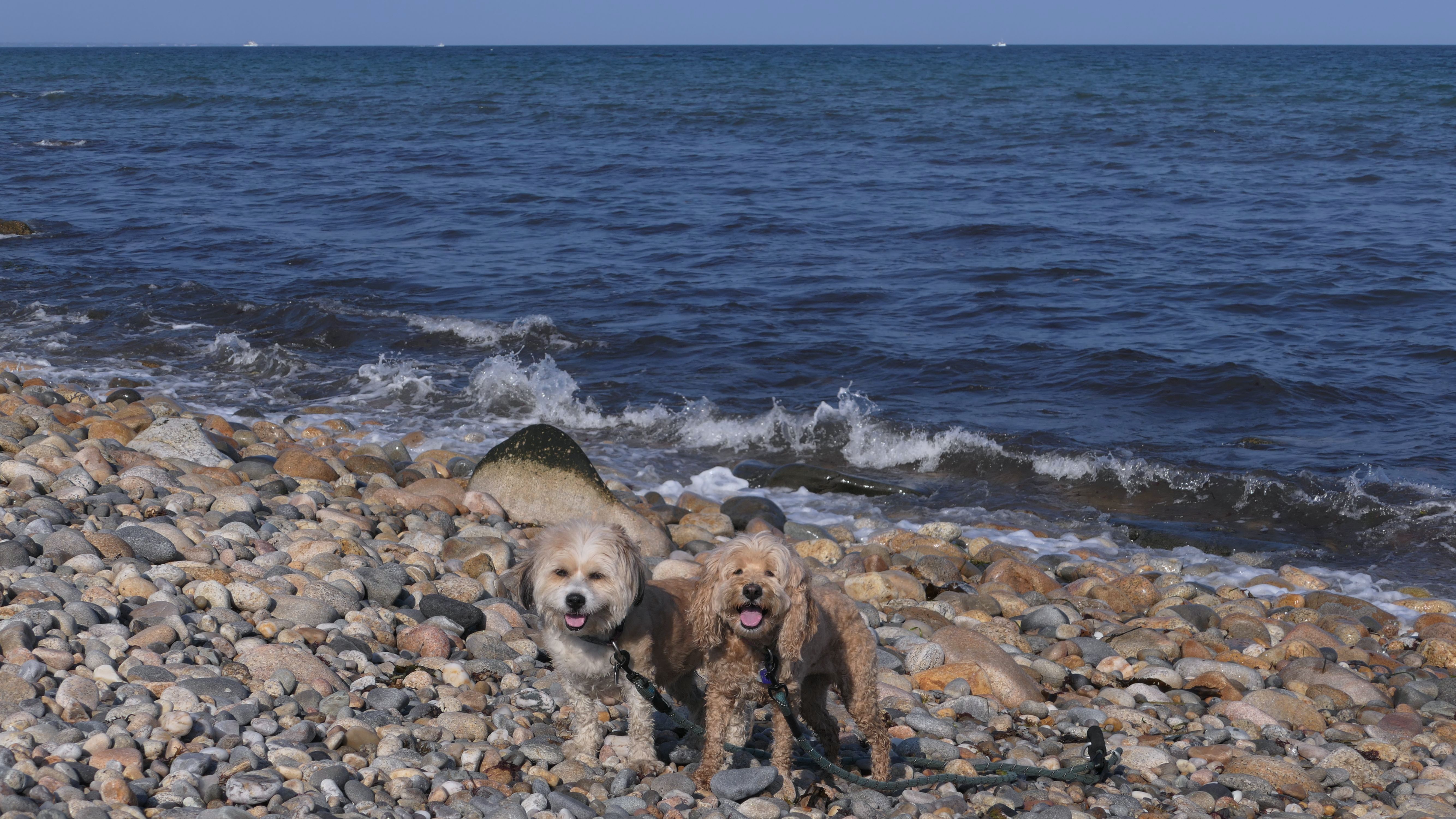
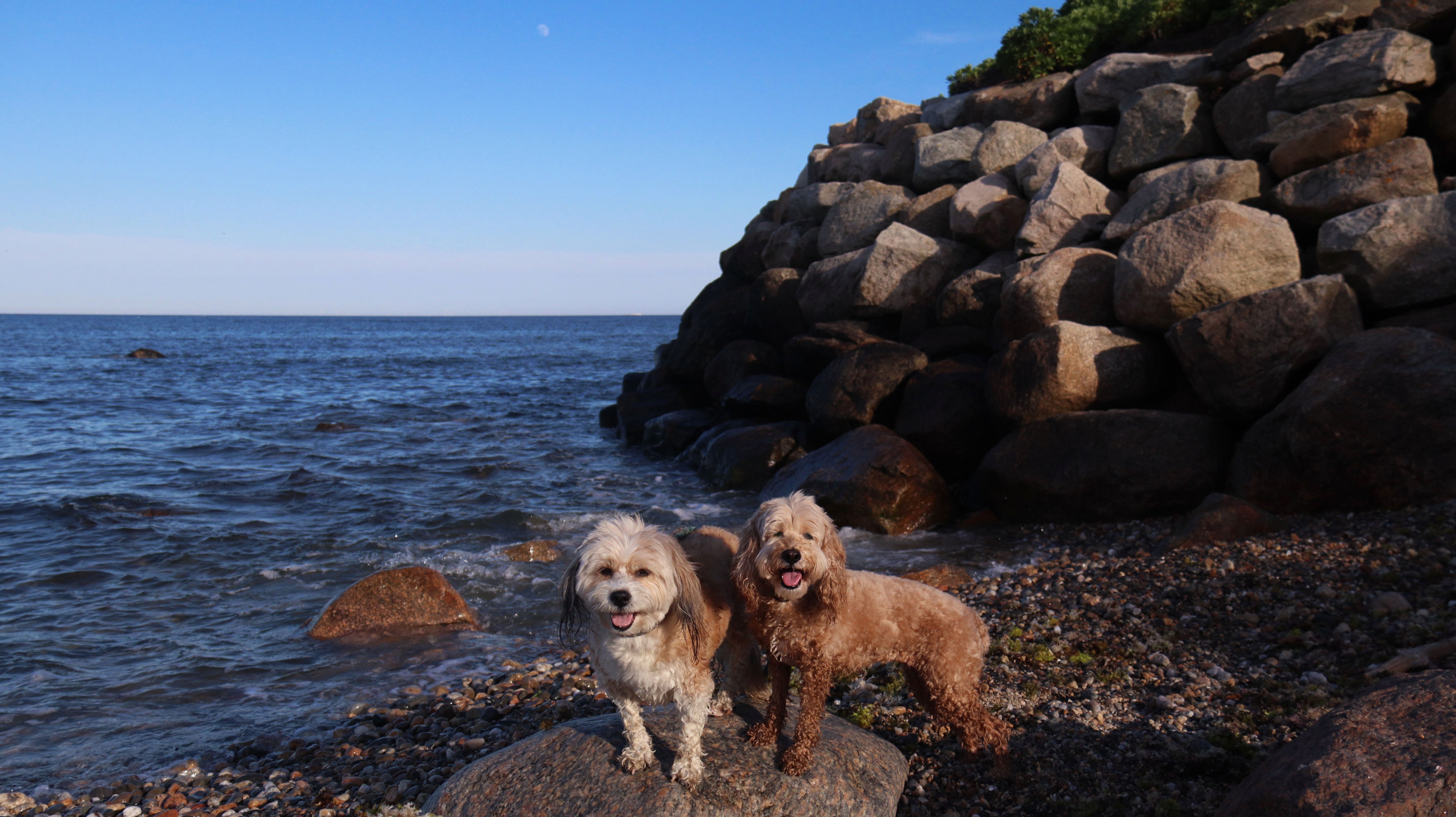
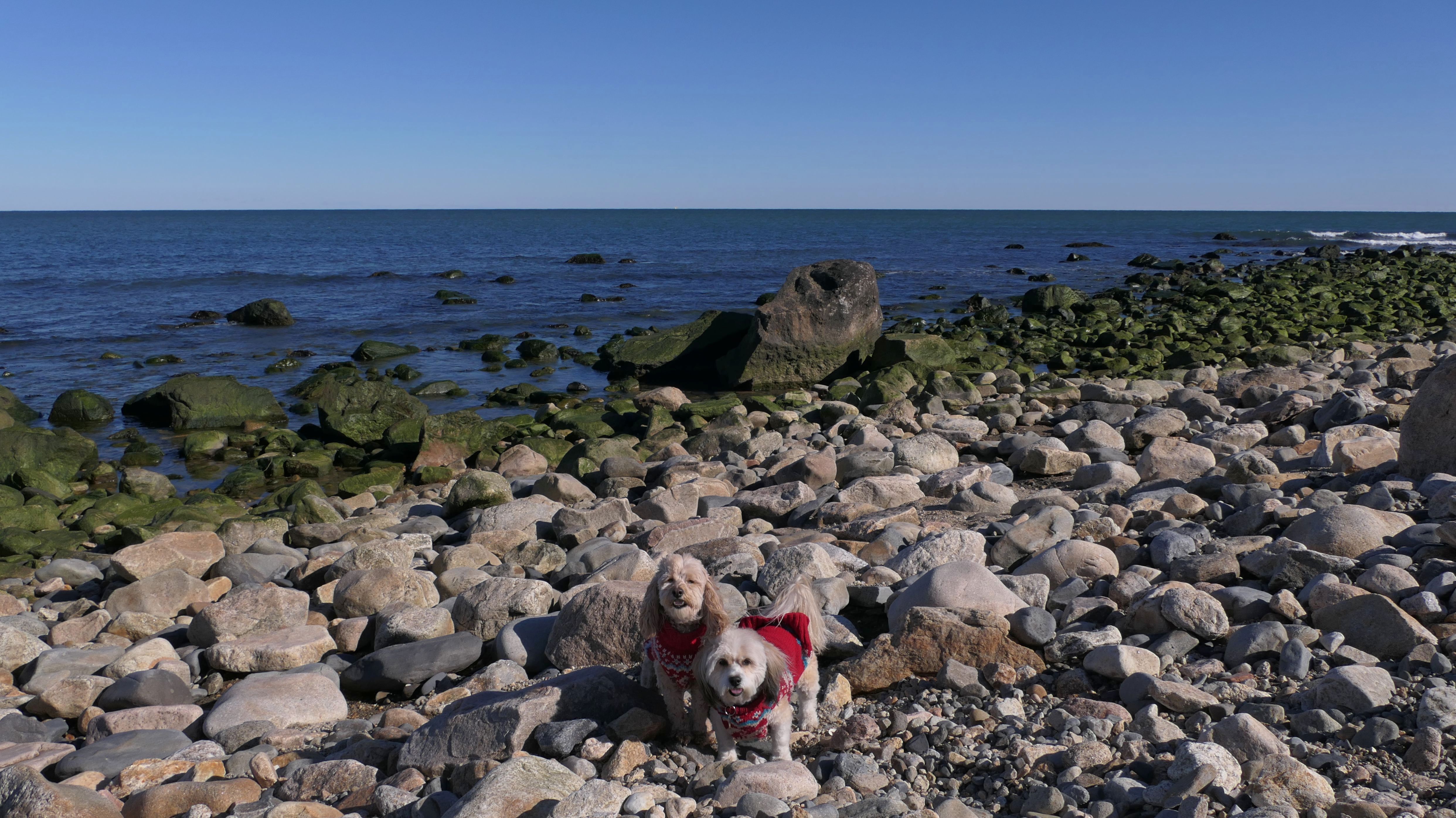
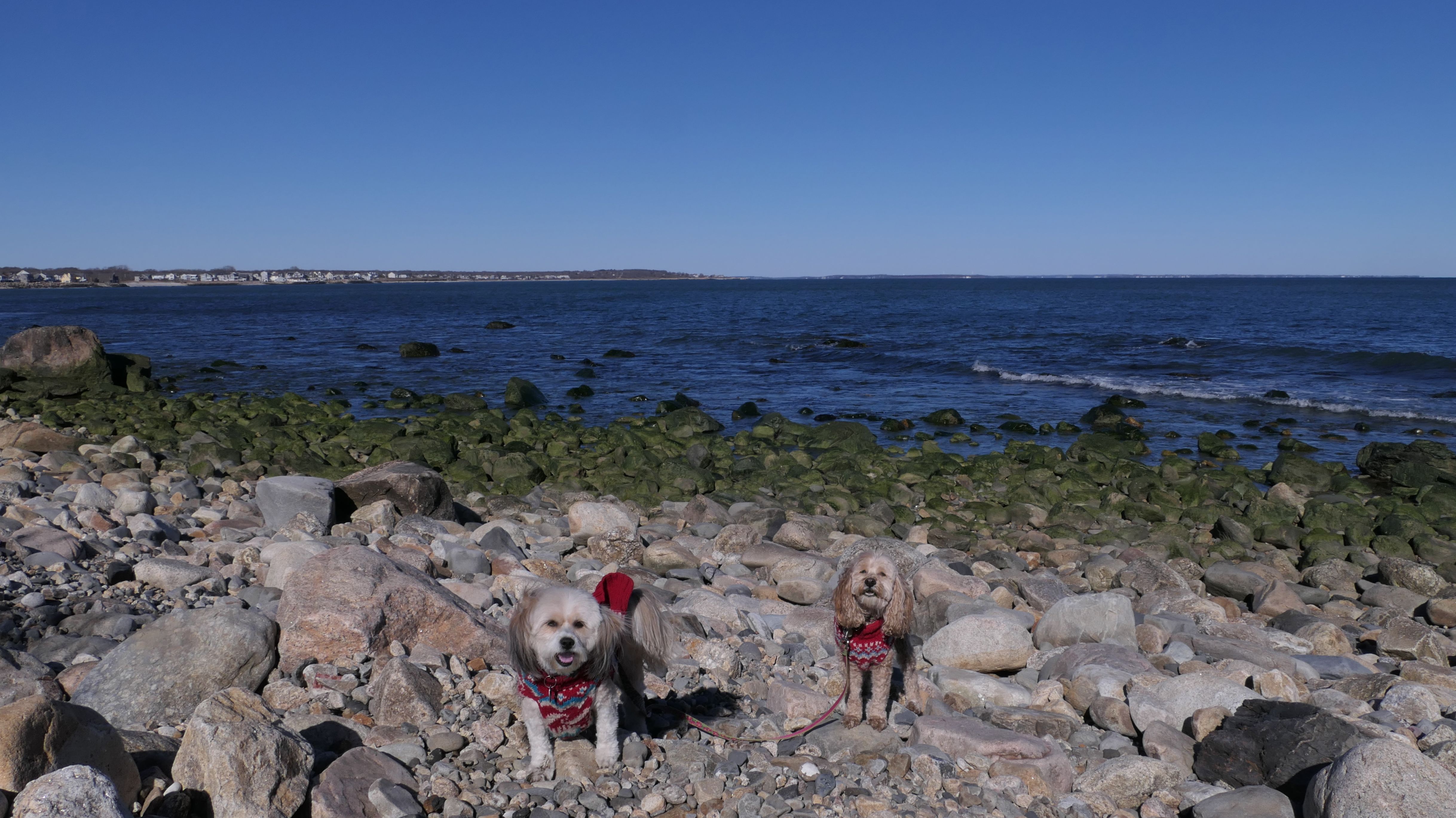
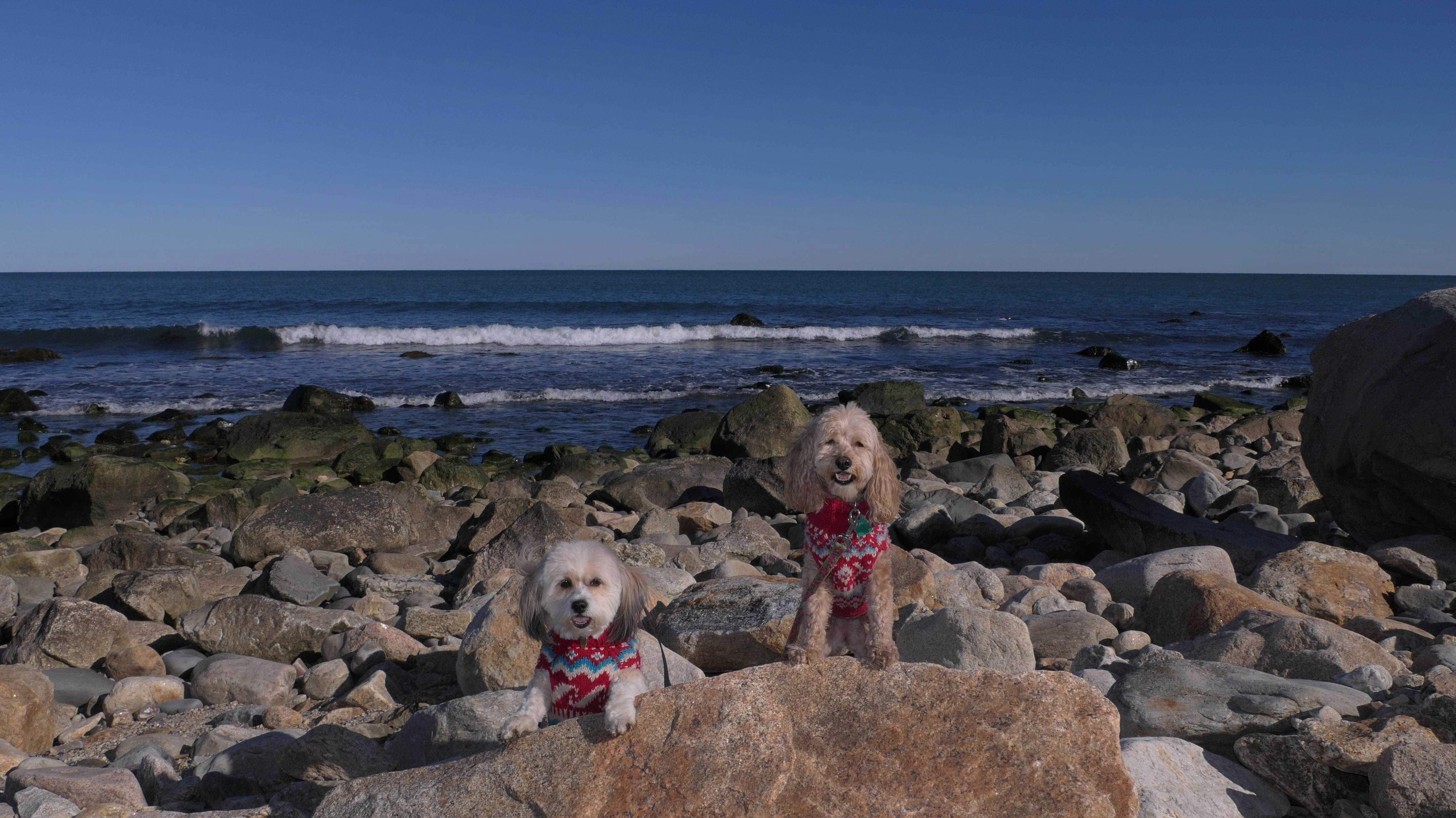
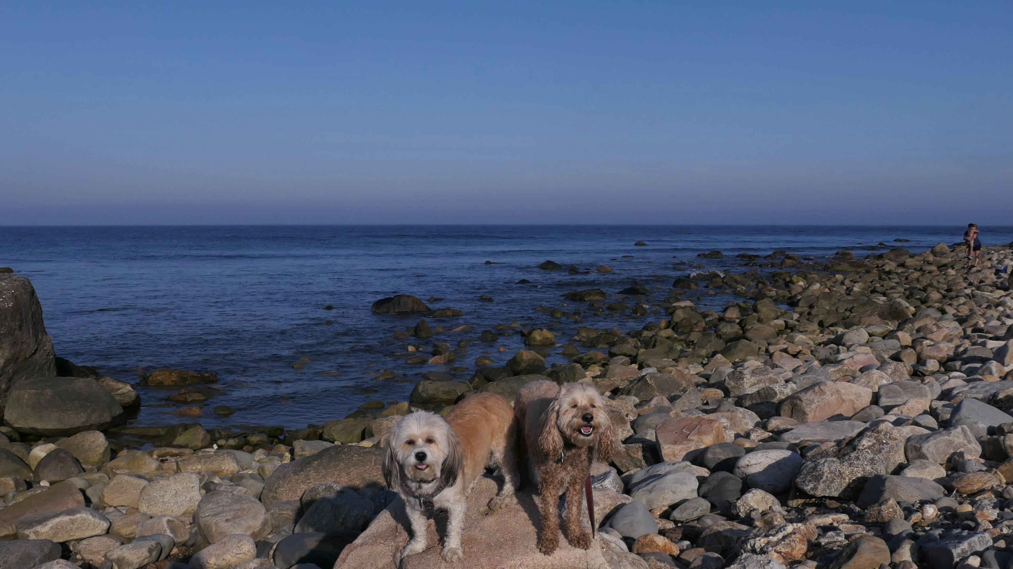
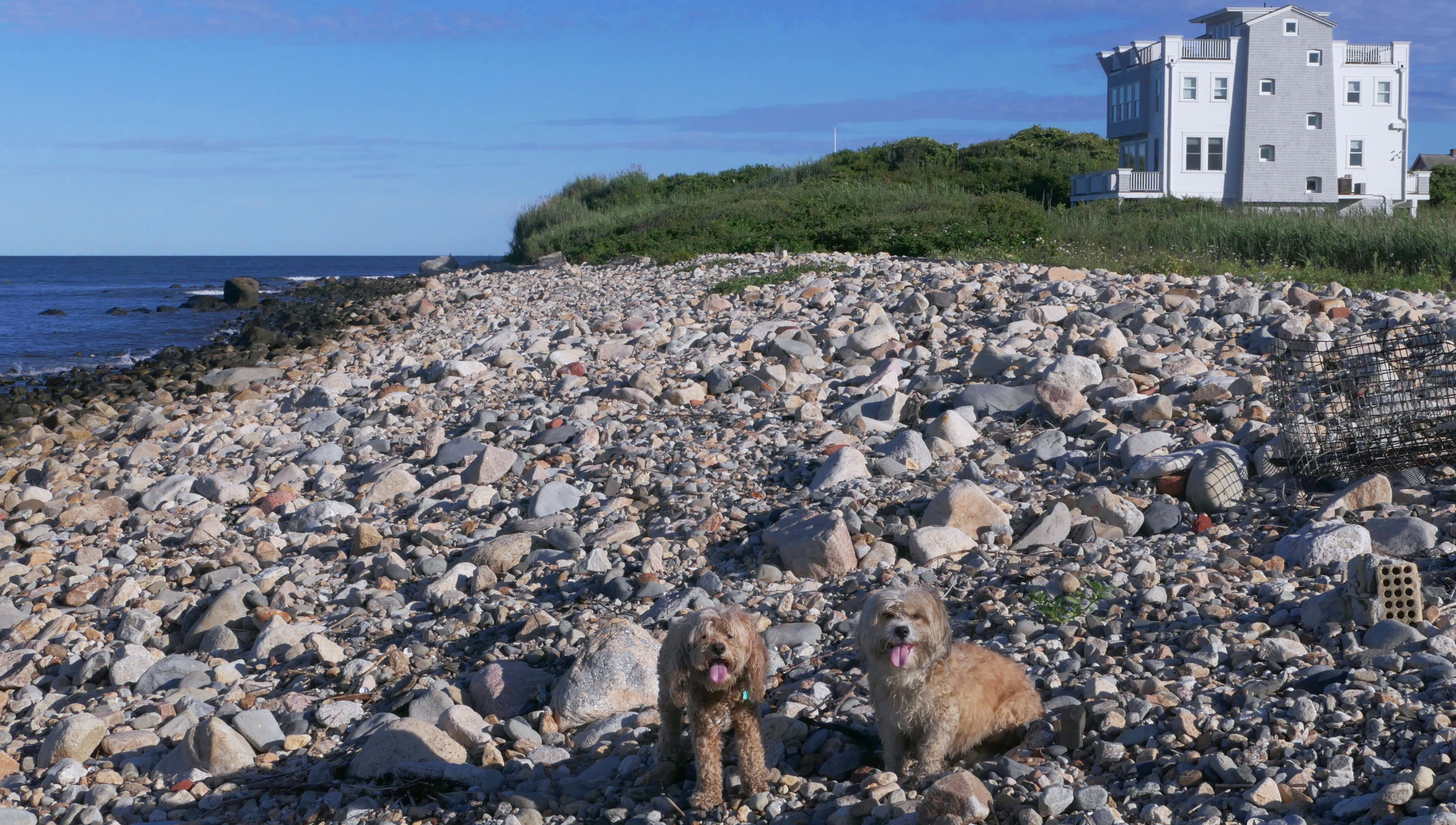
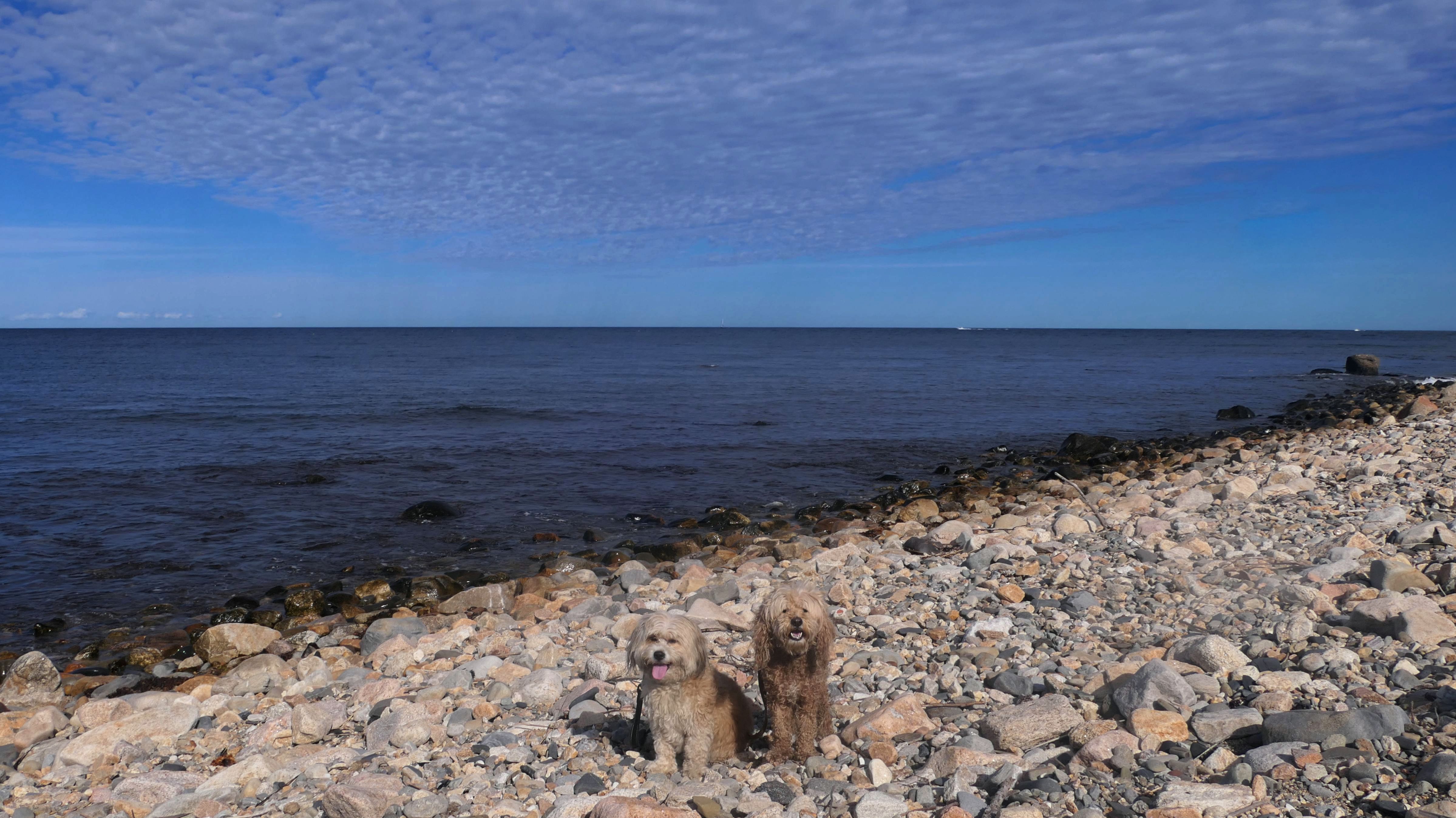
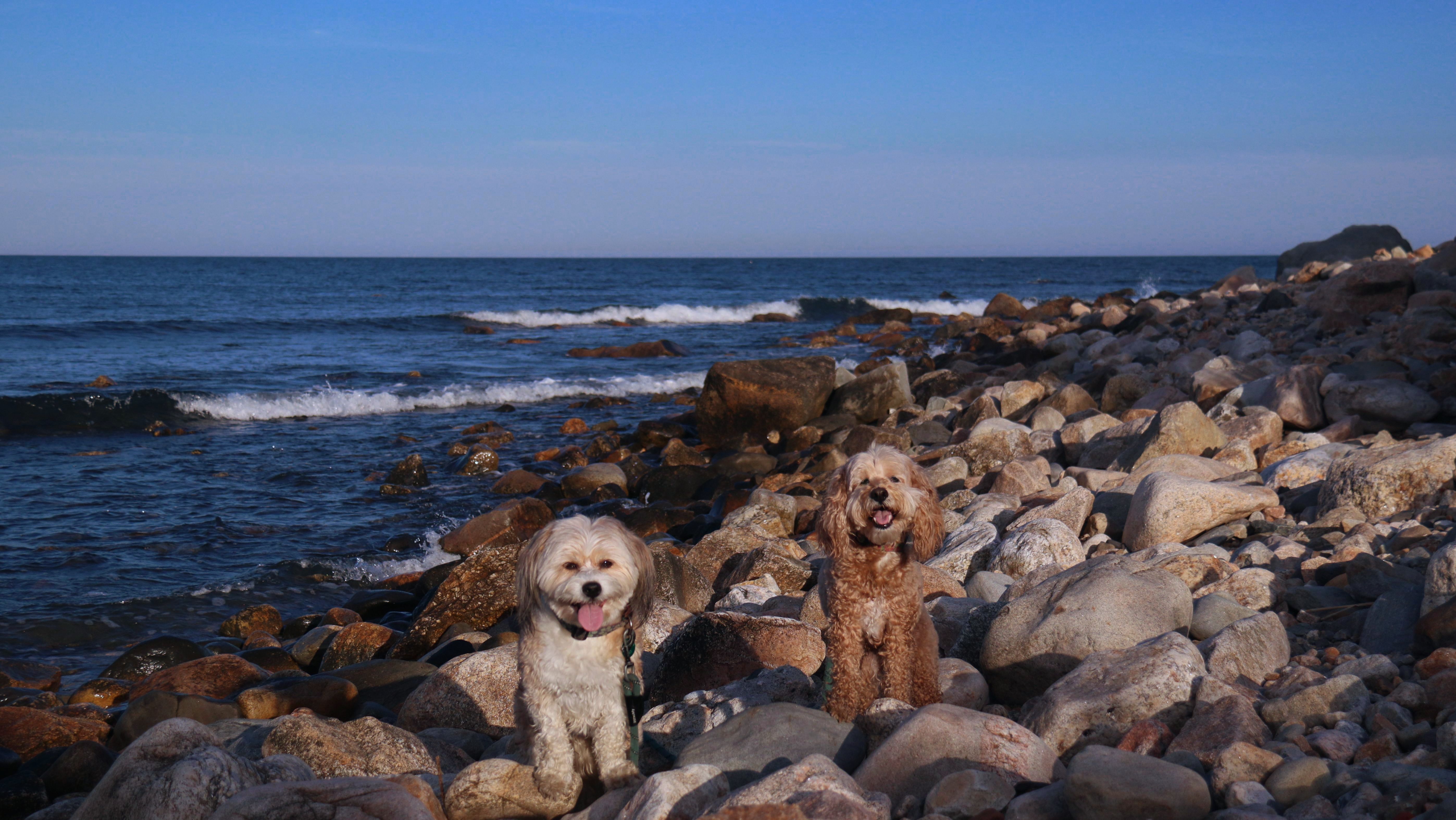
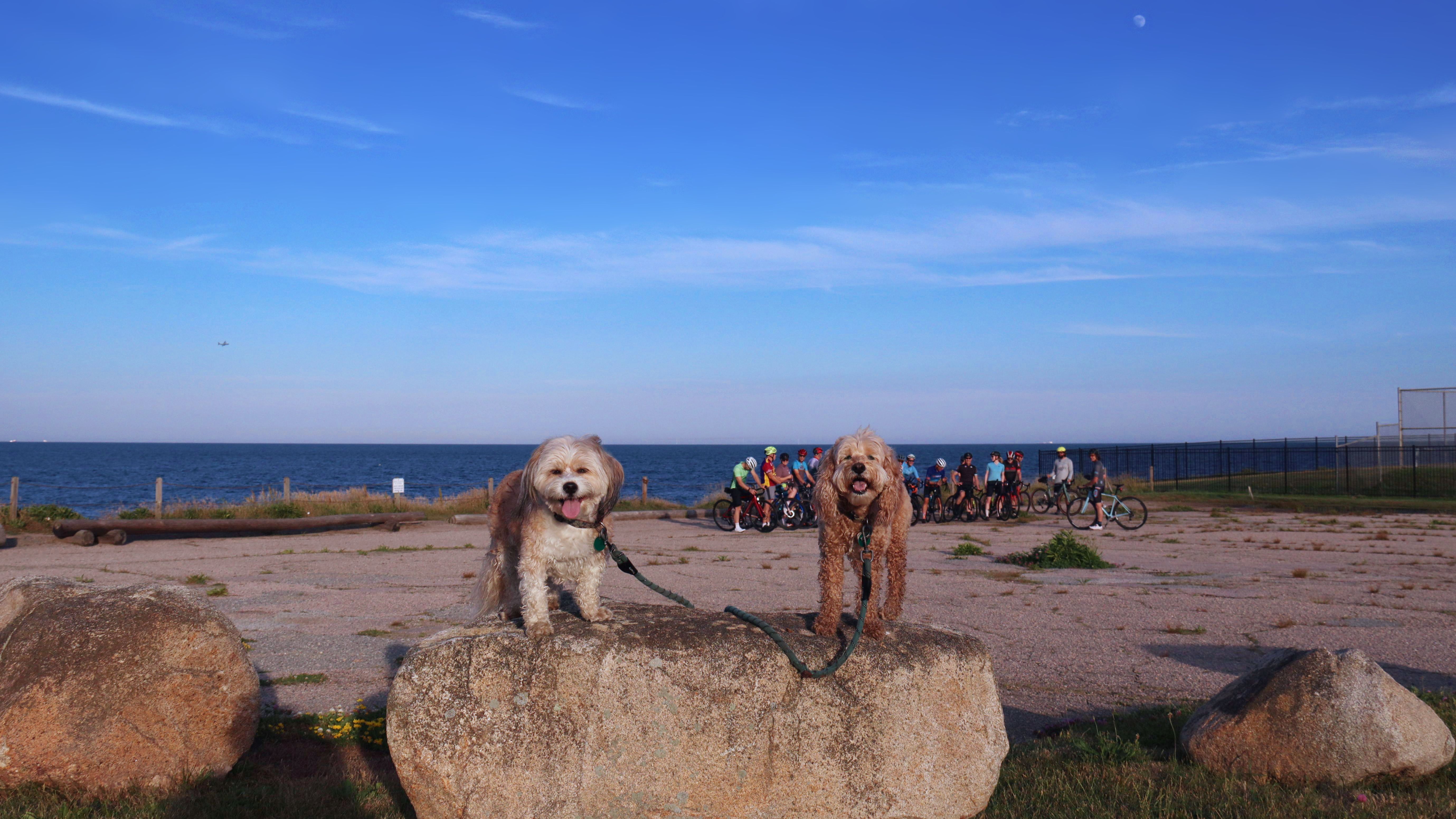
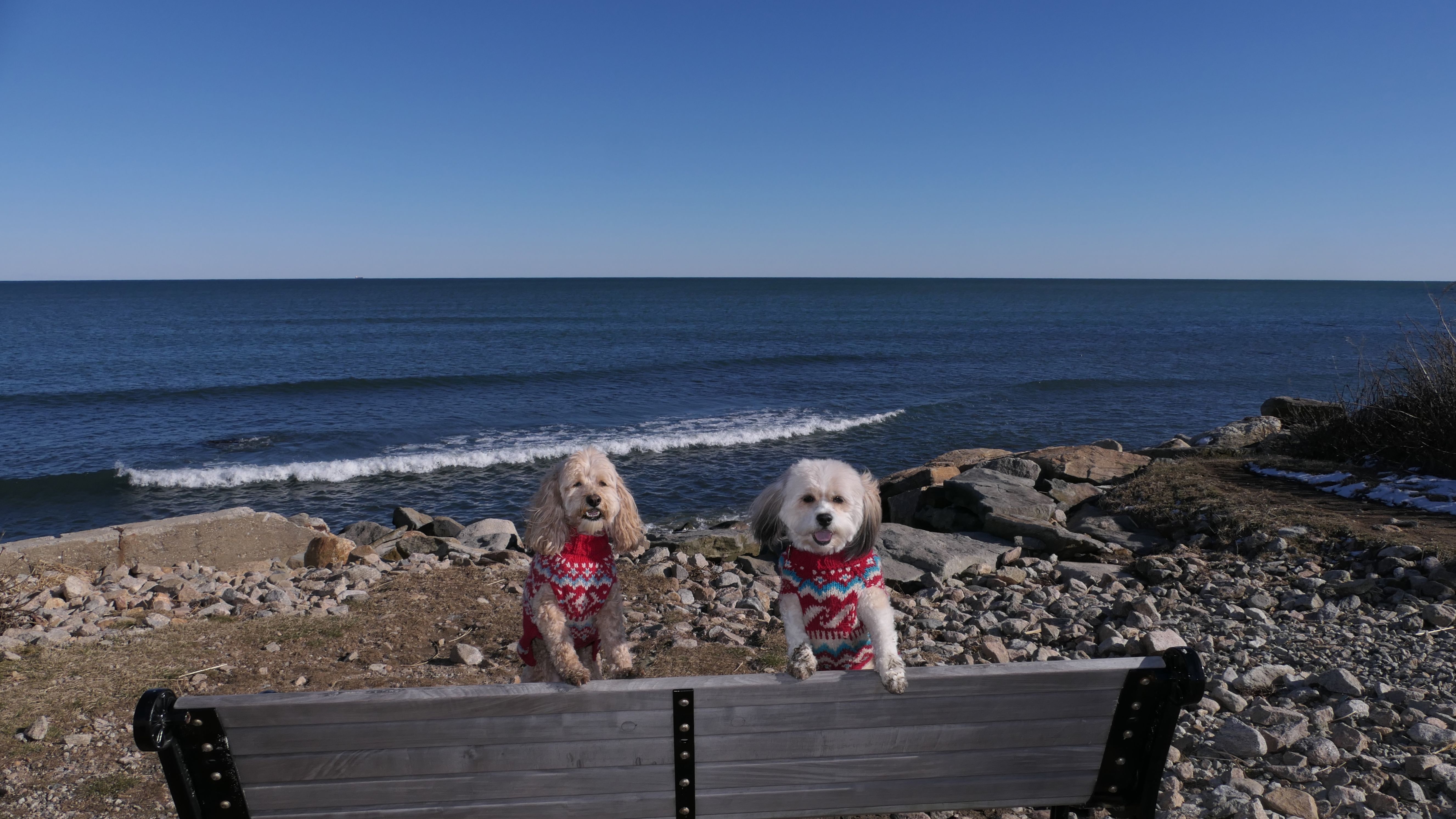
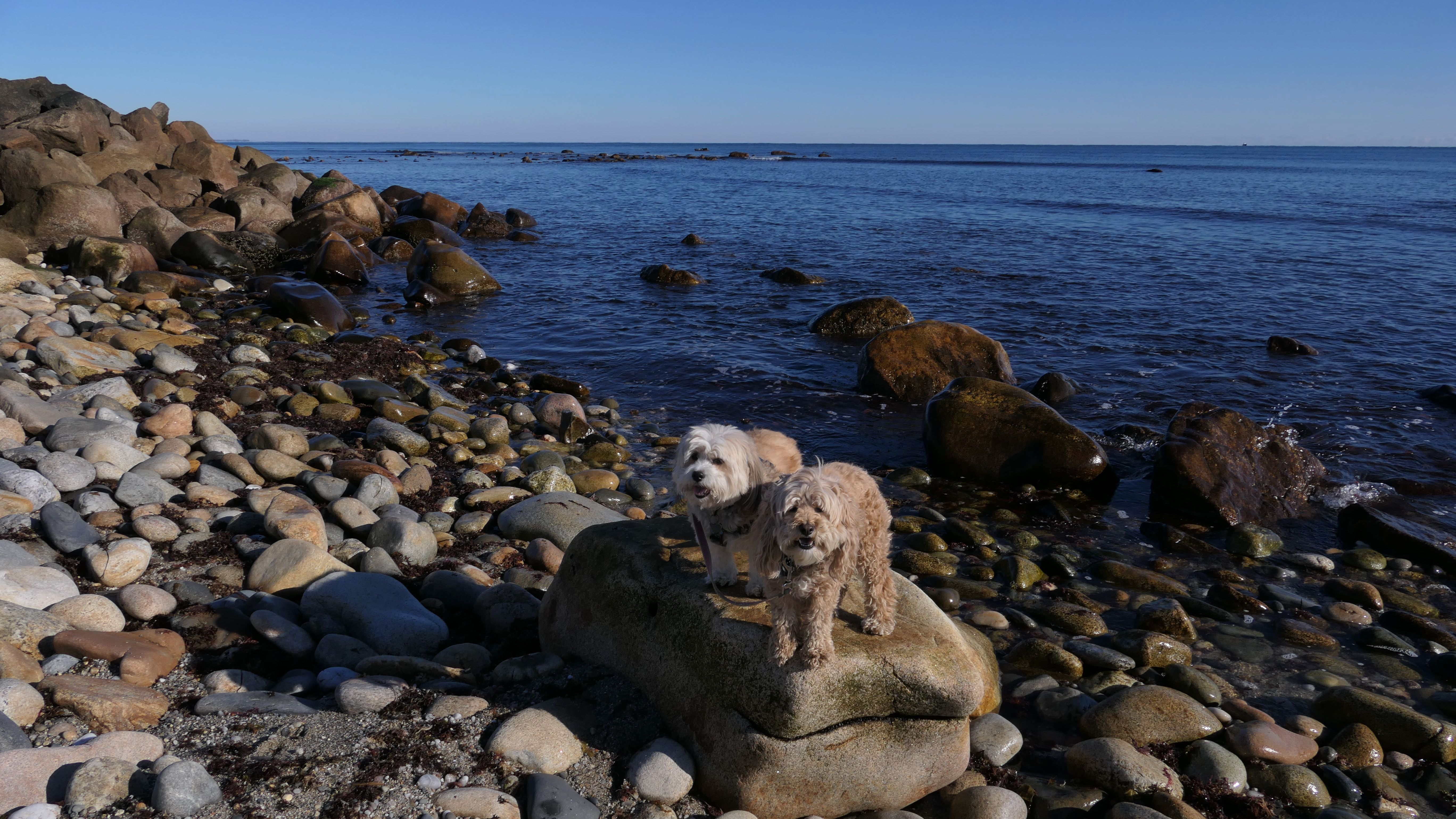
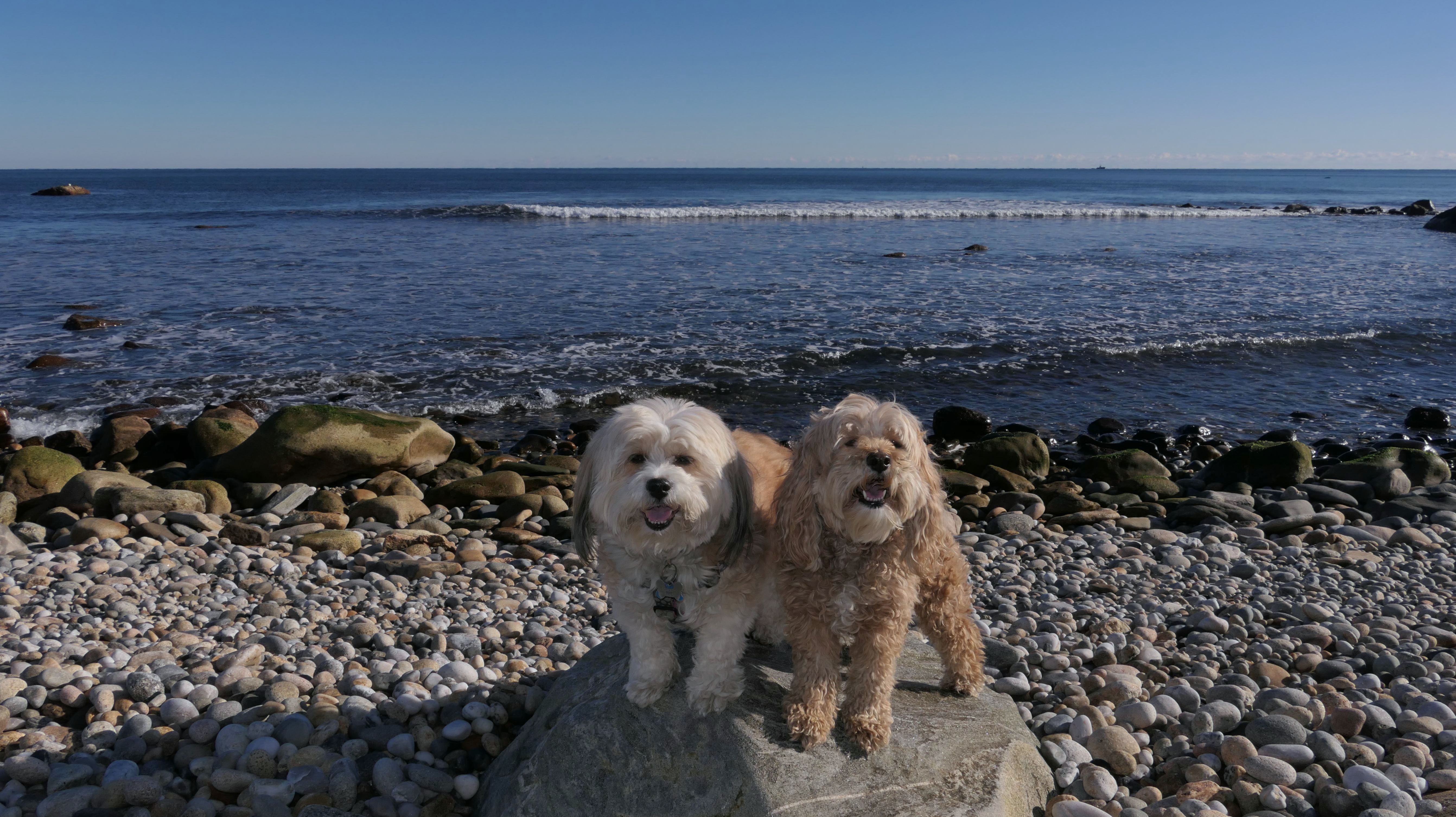
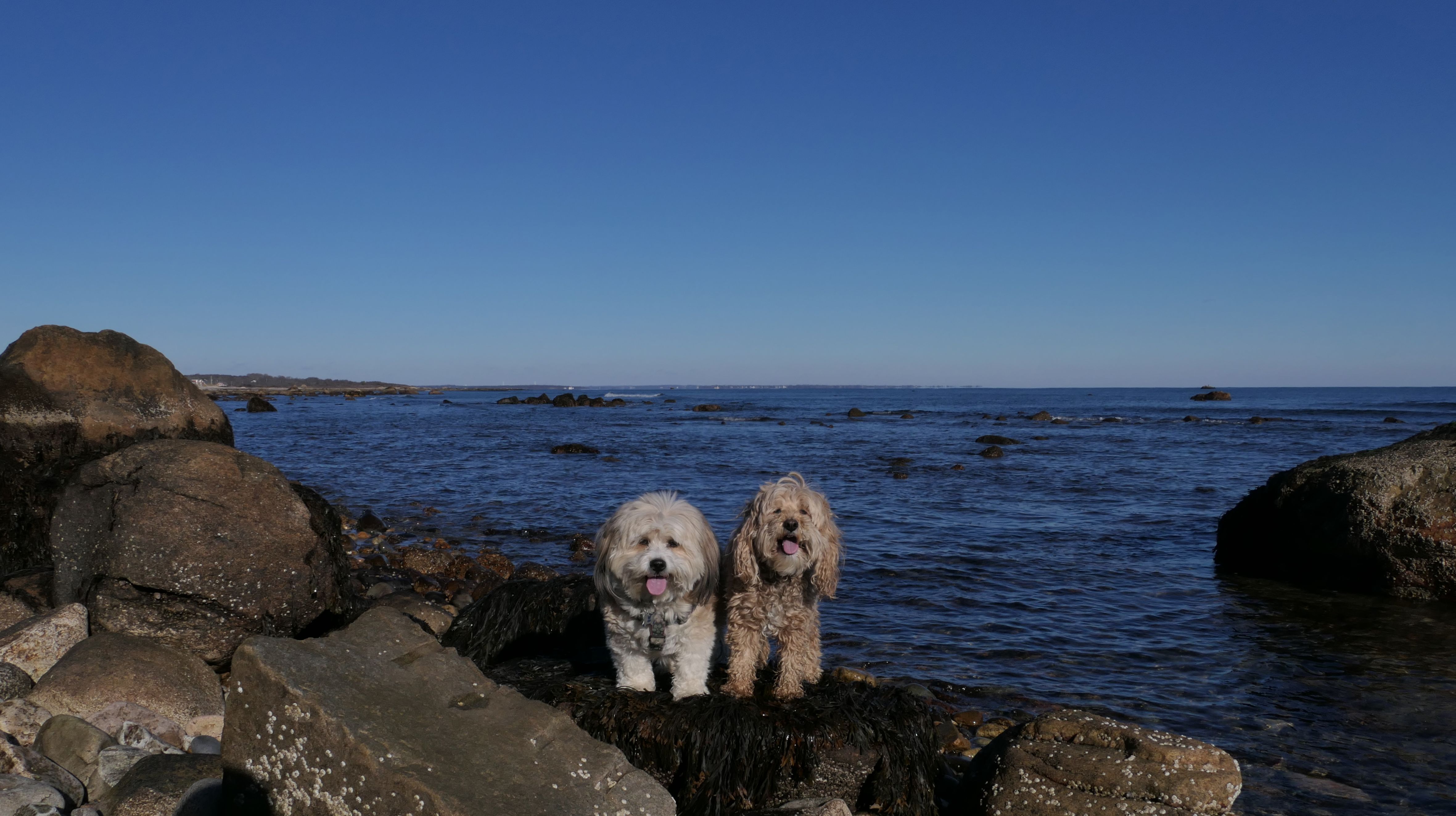
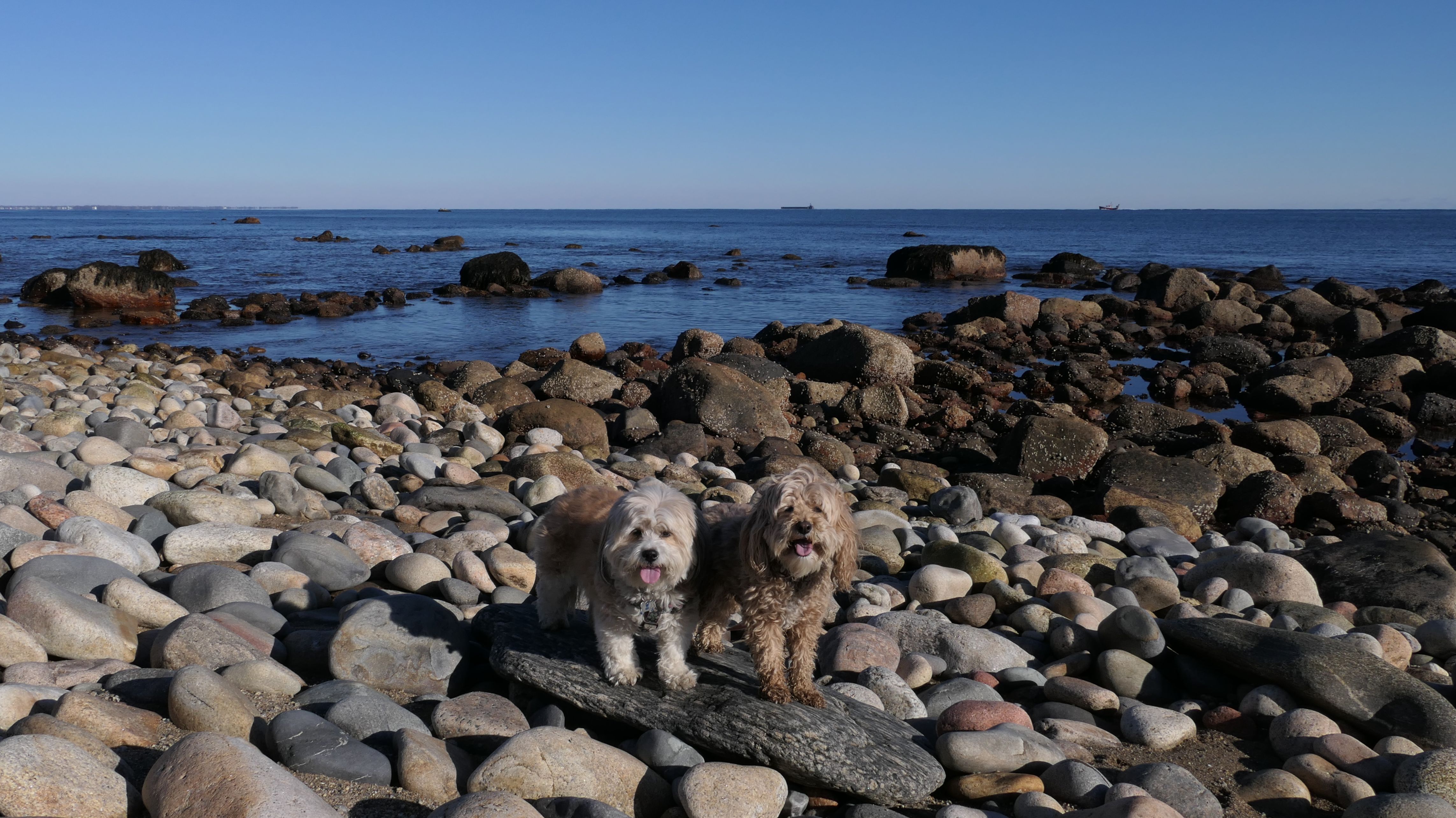
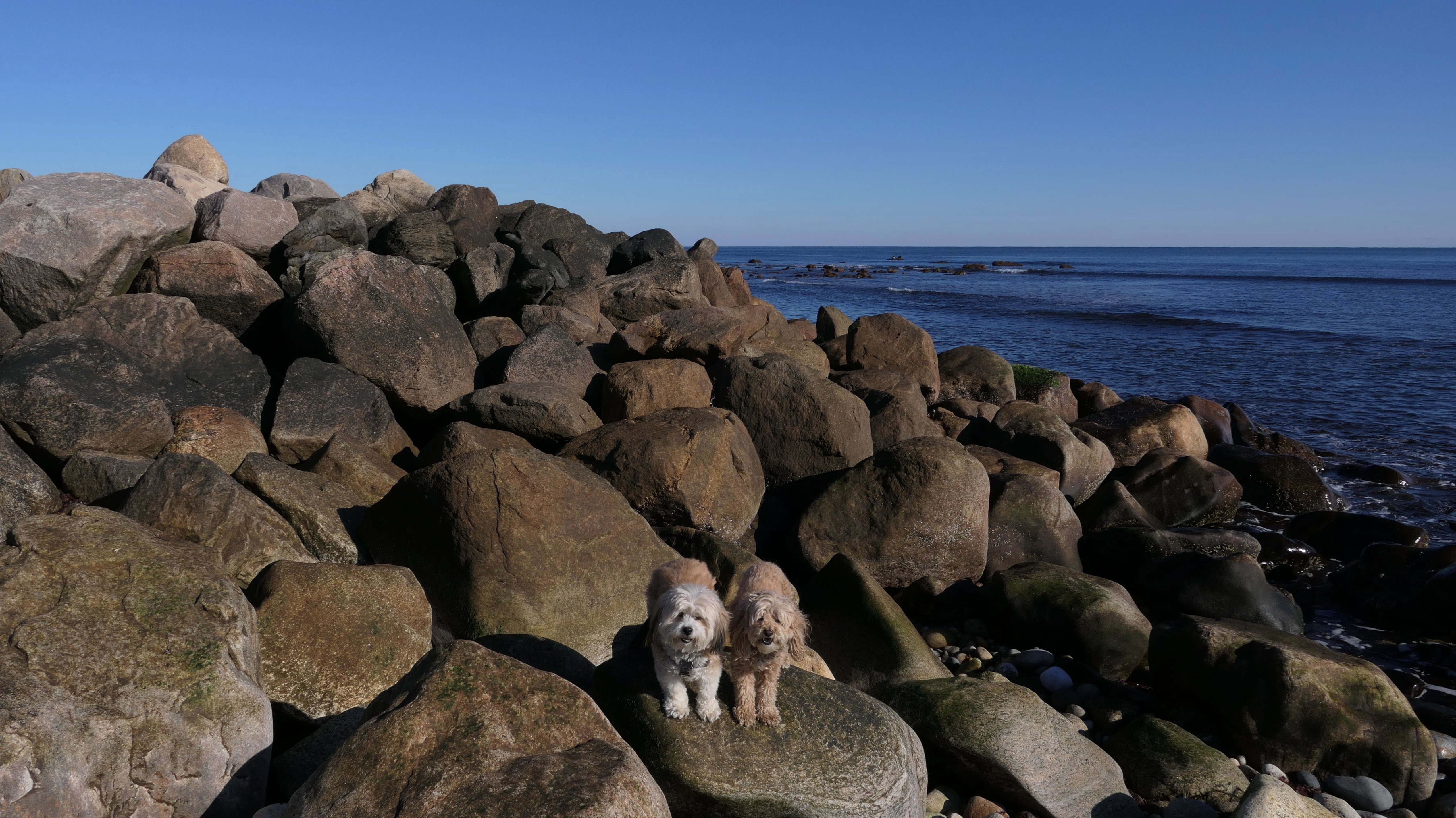
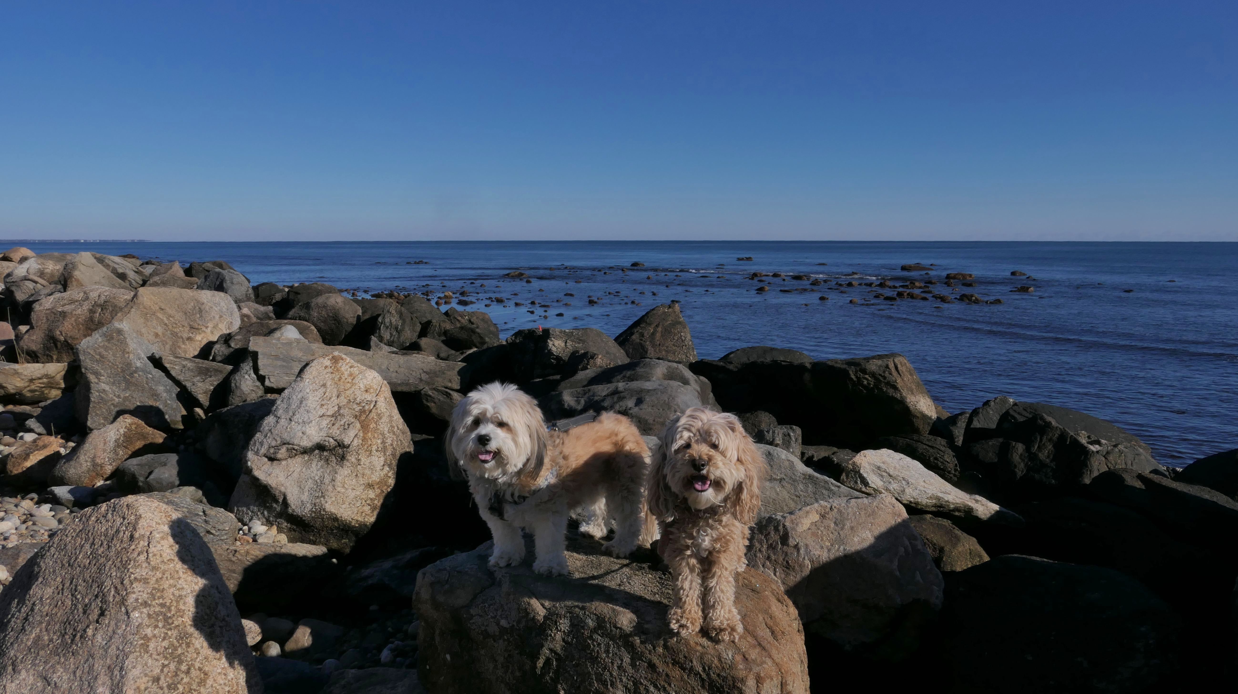
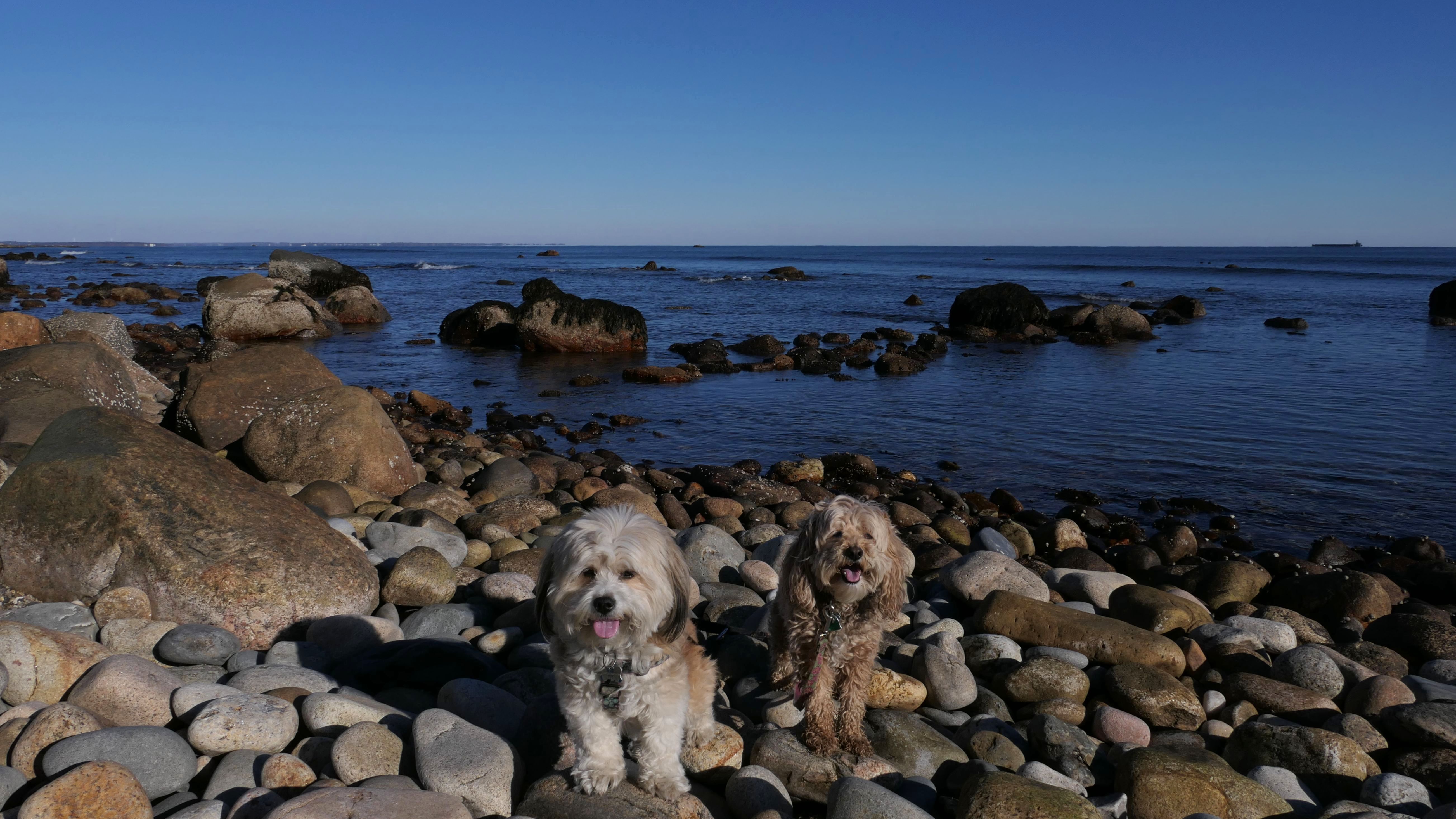
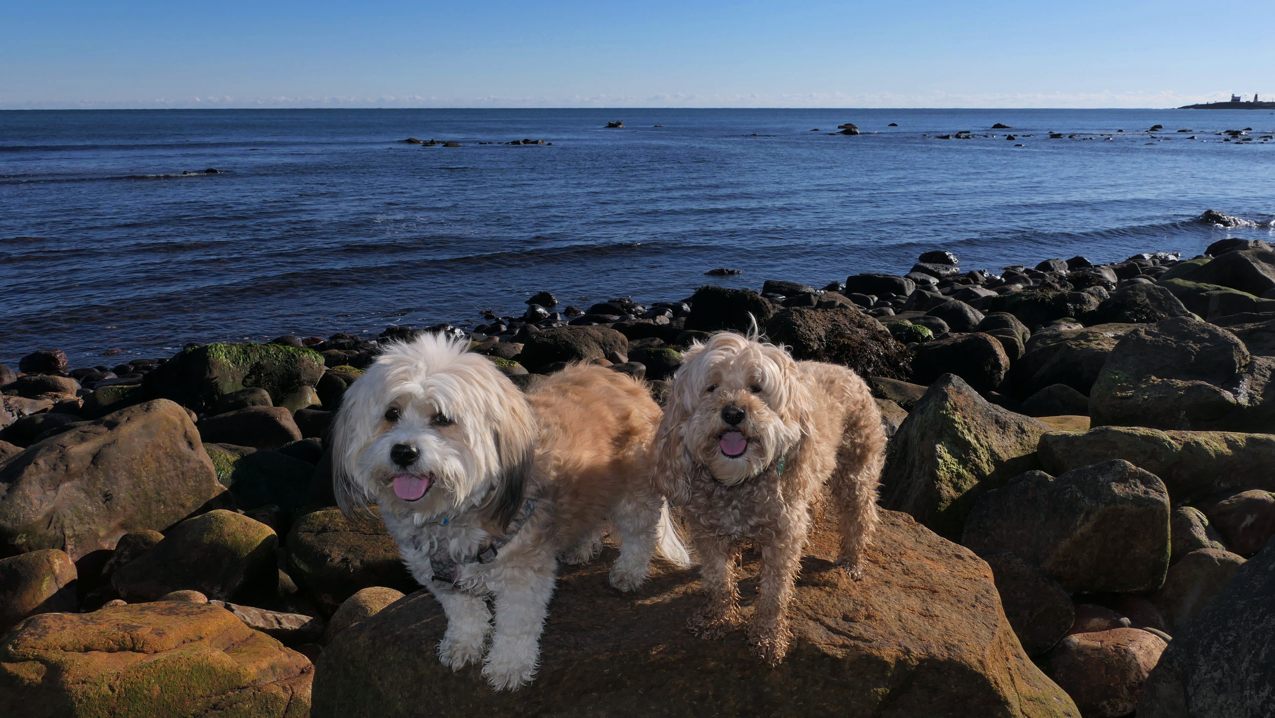
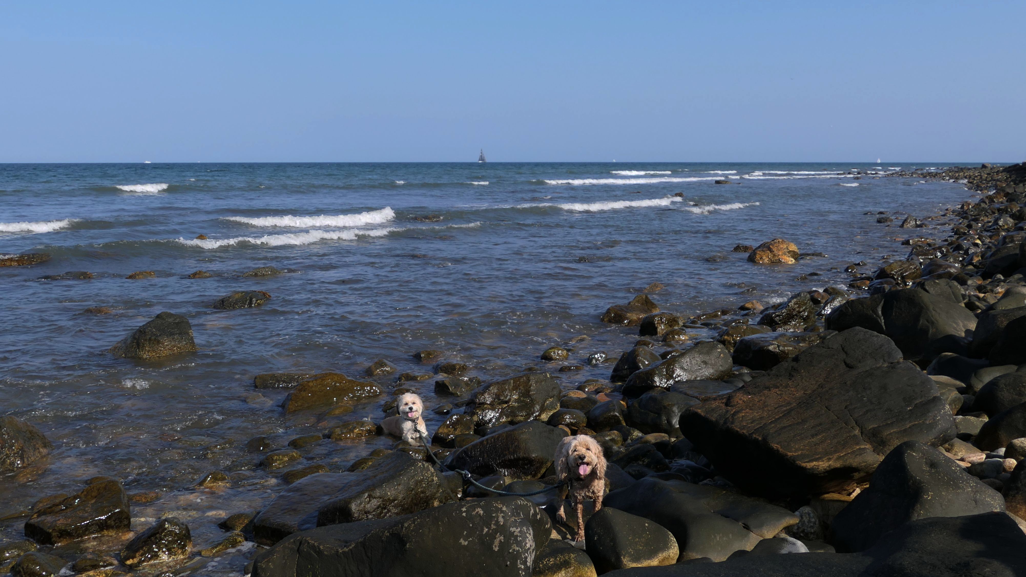
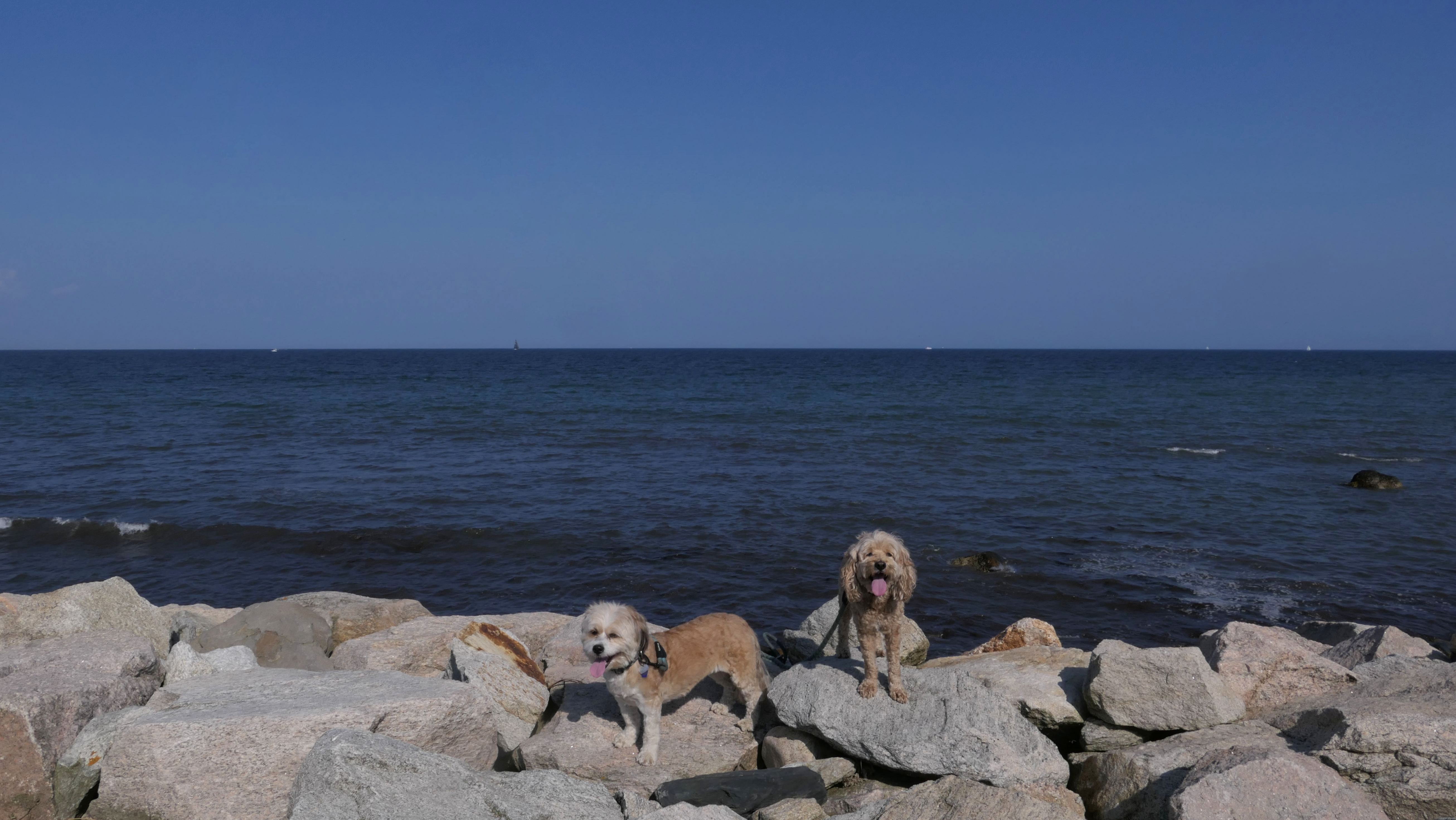
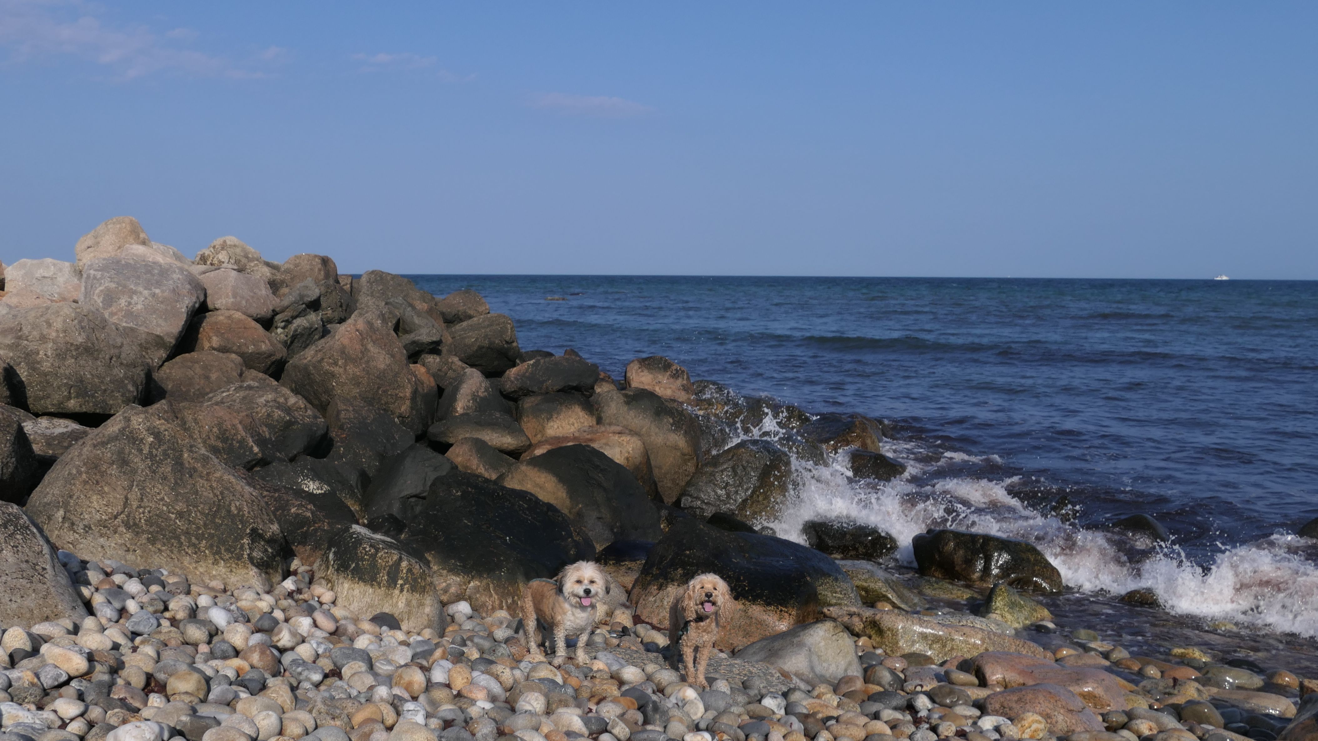
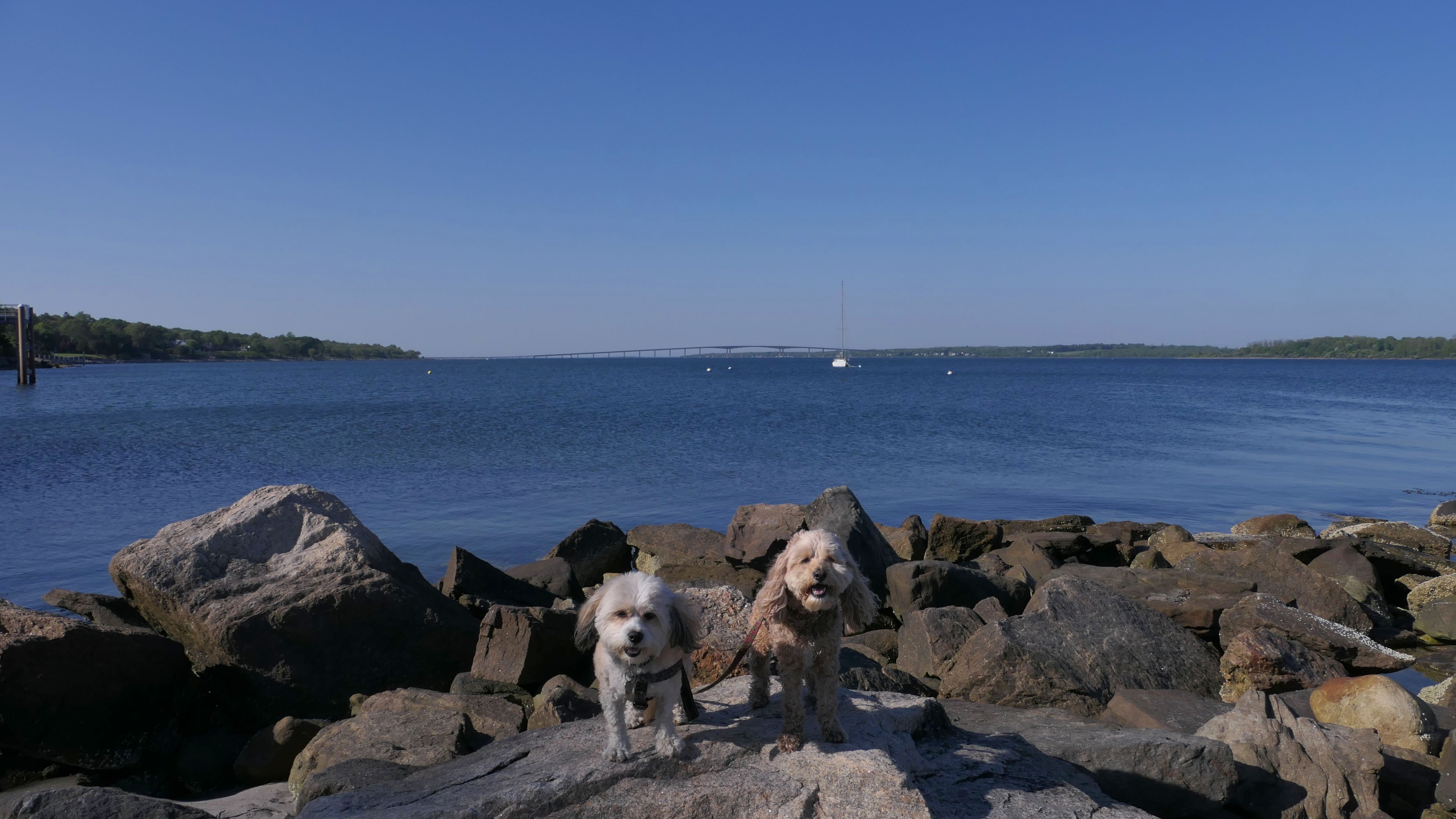
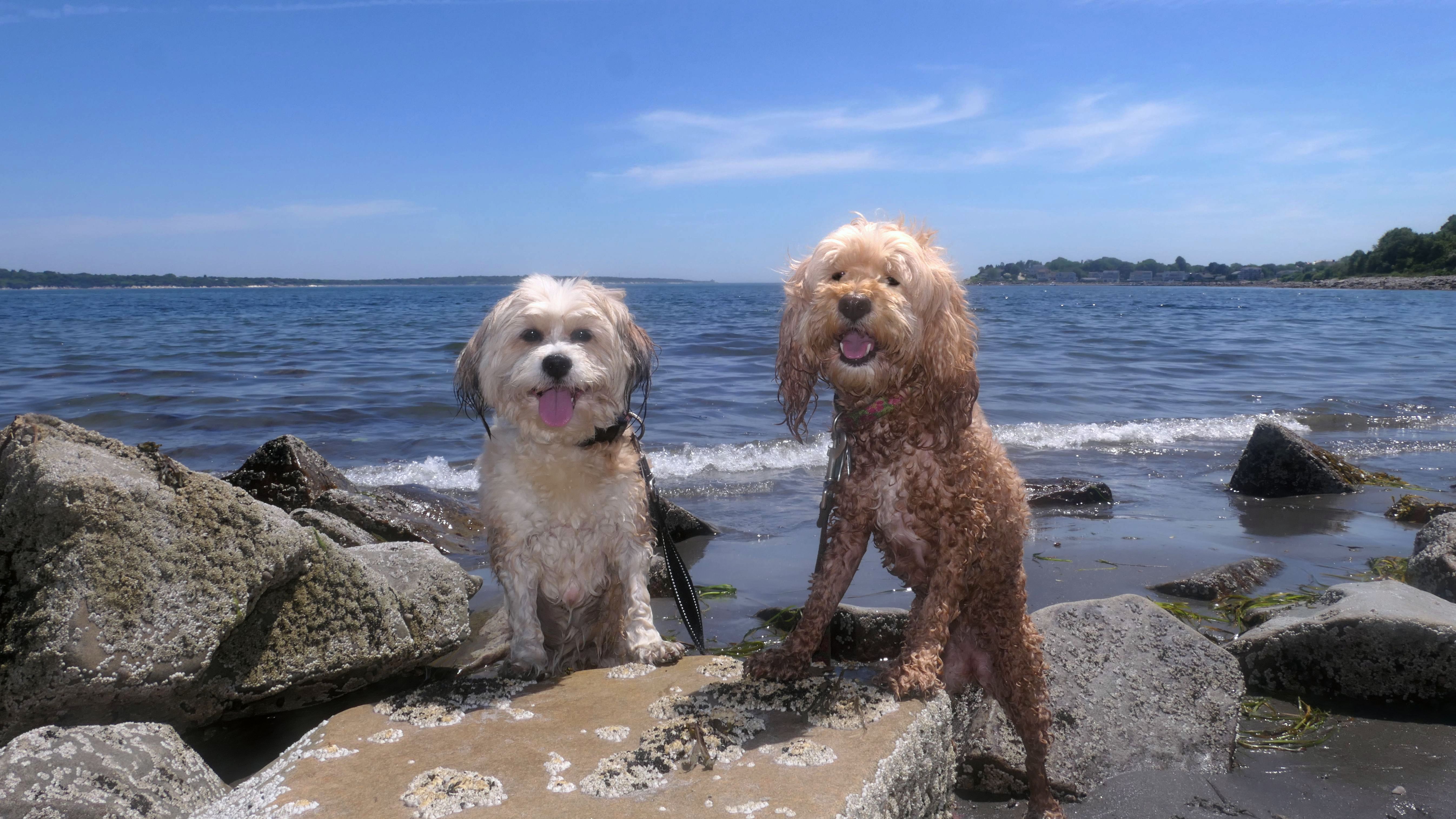
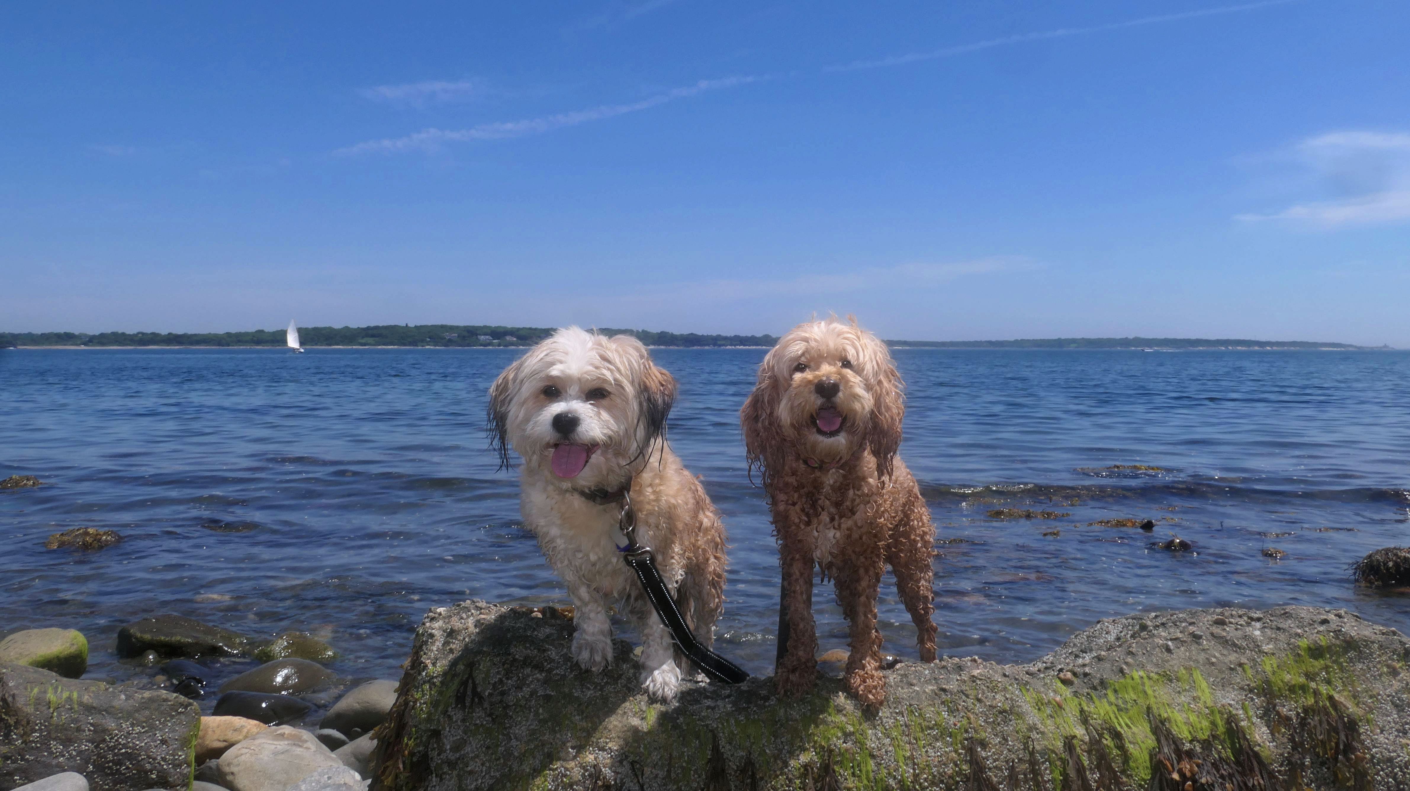
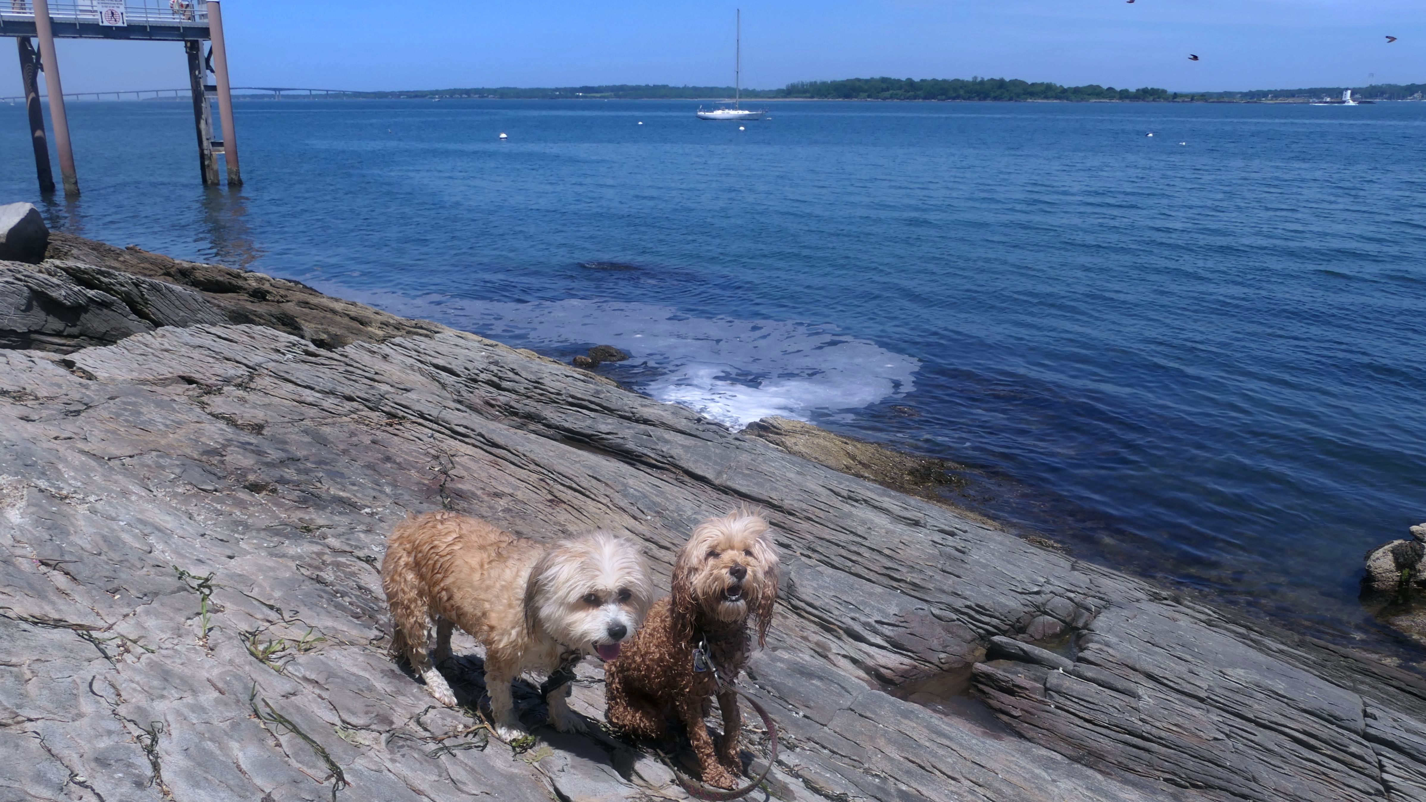
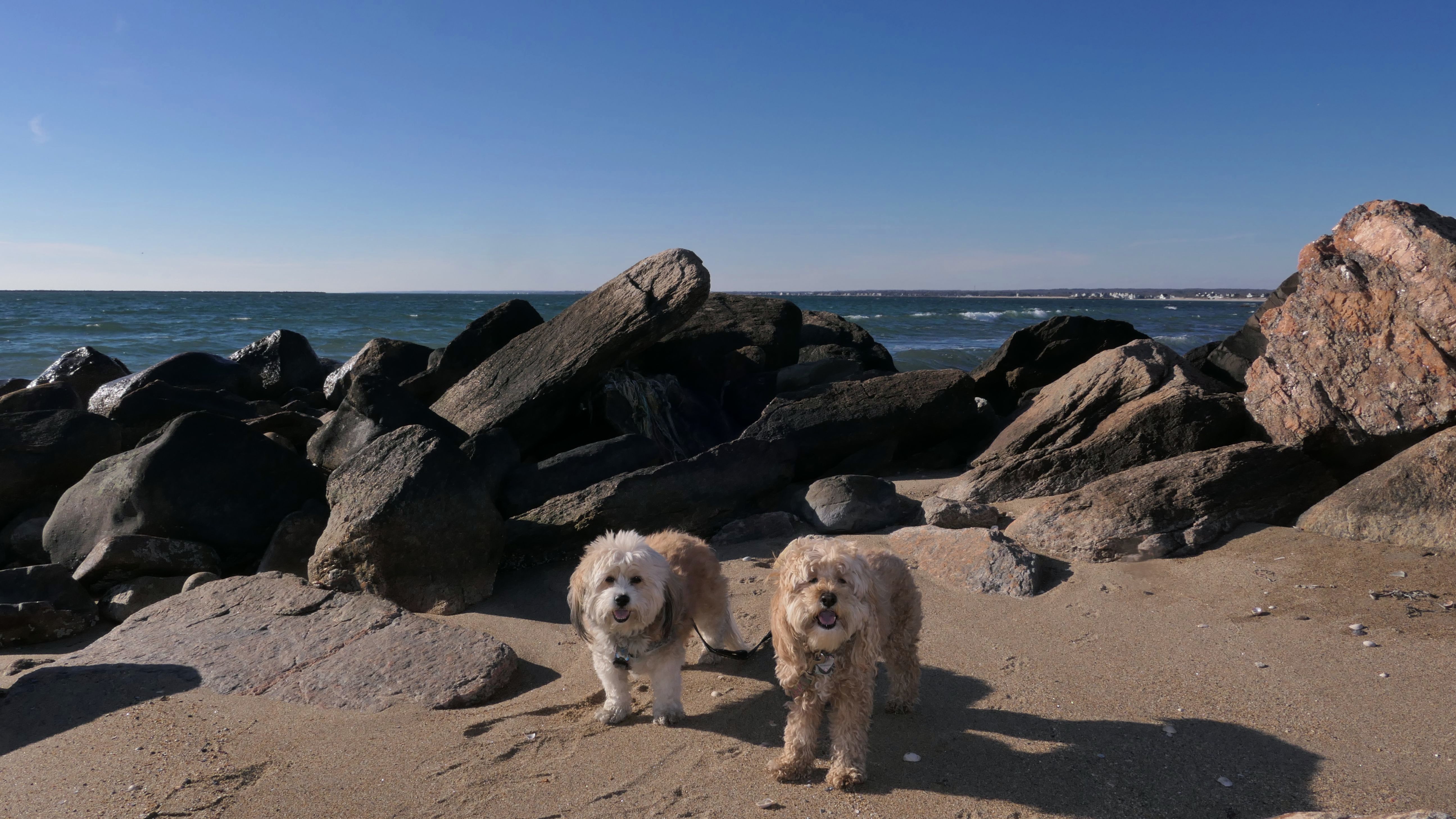
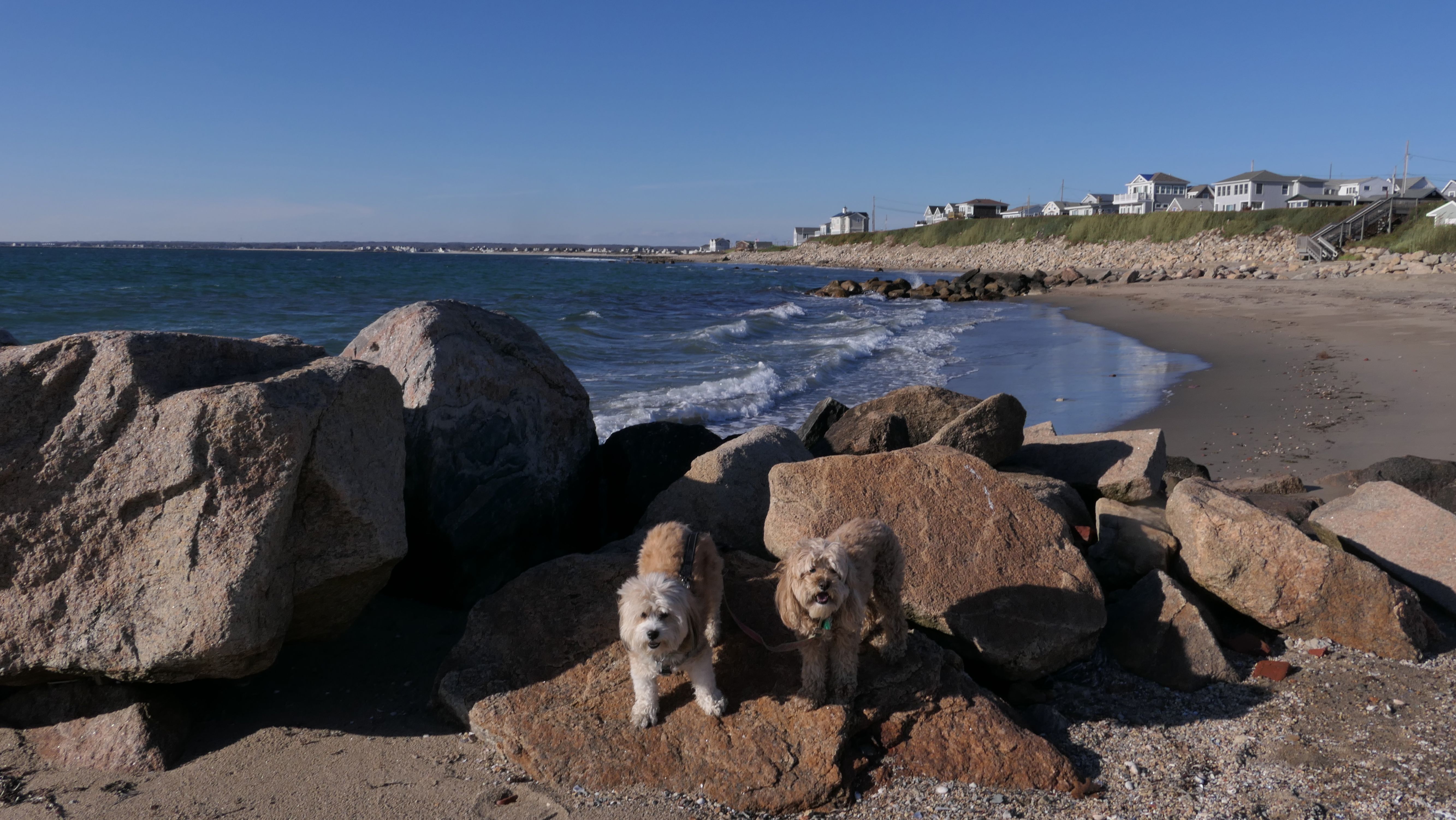
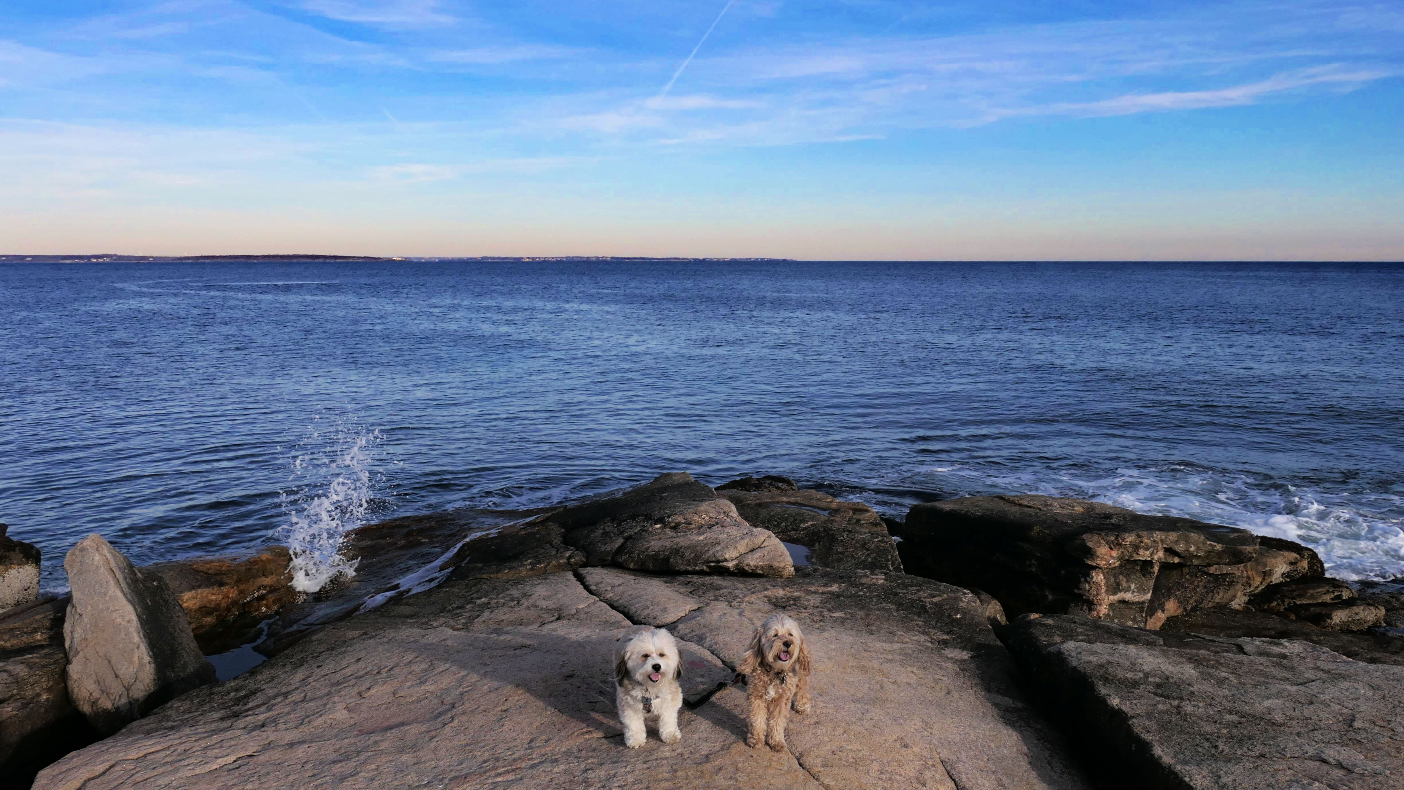
Black Point
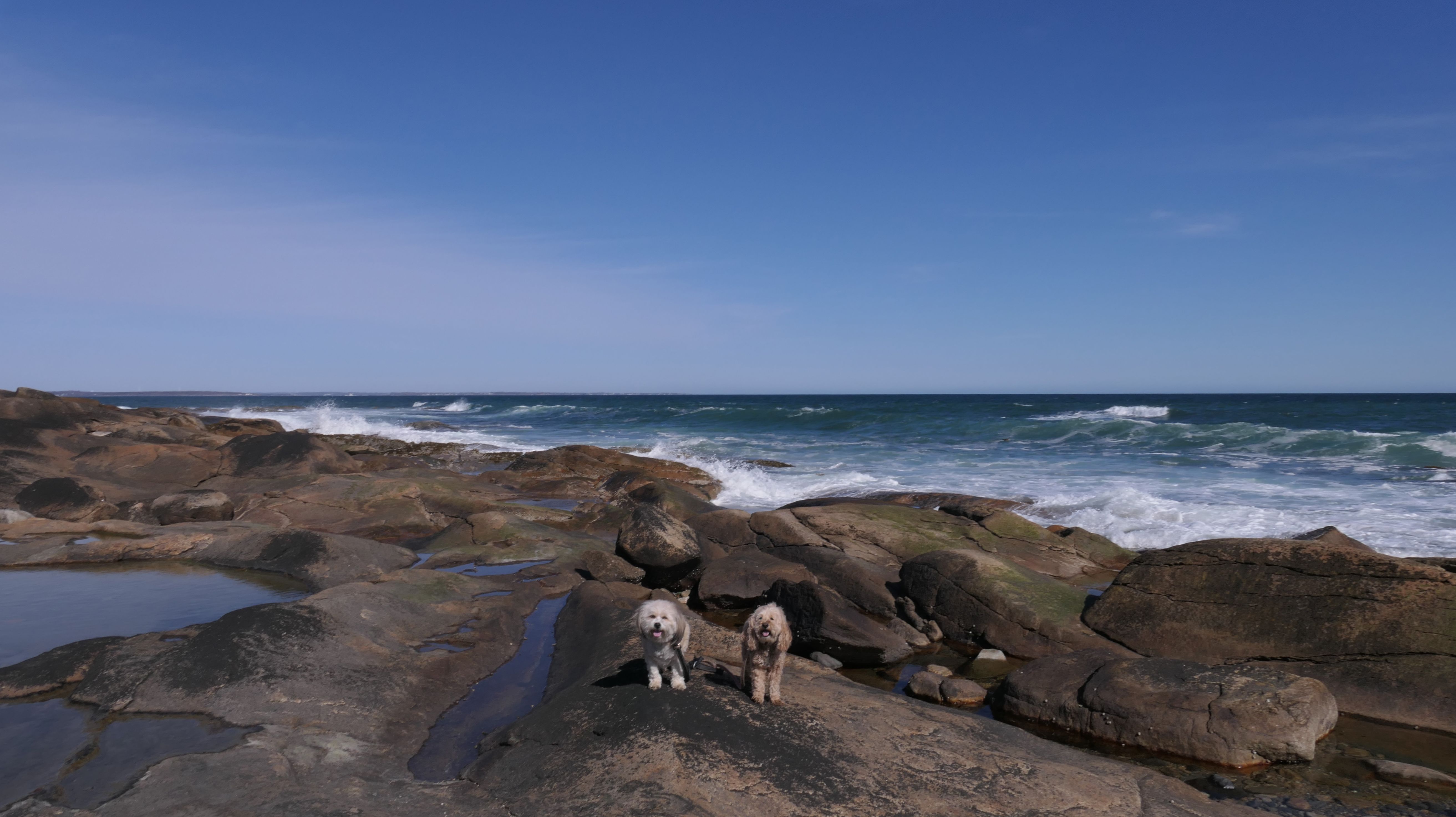
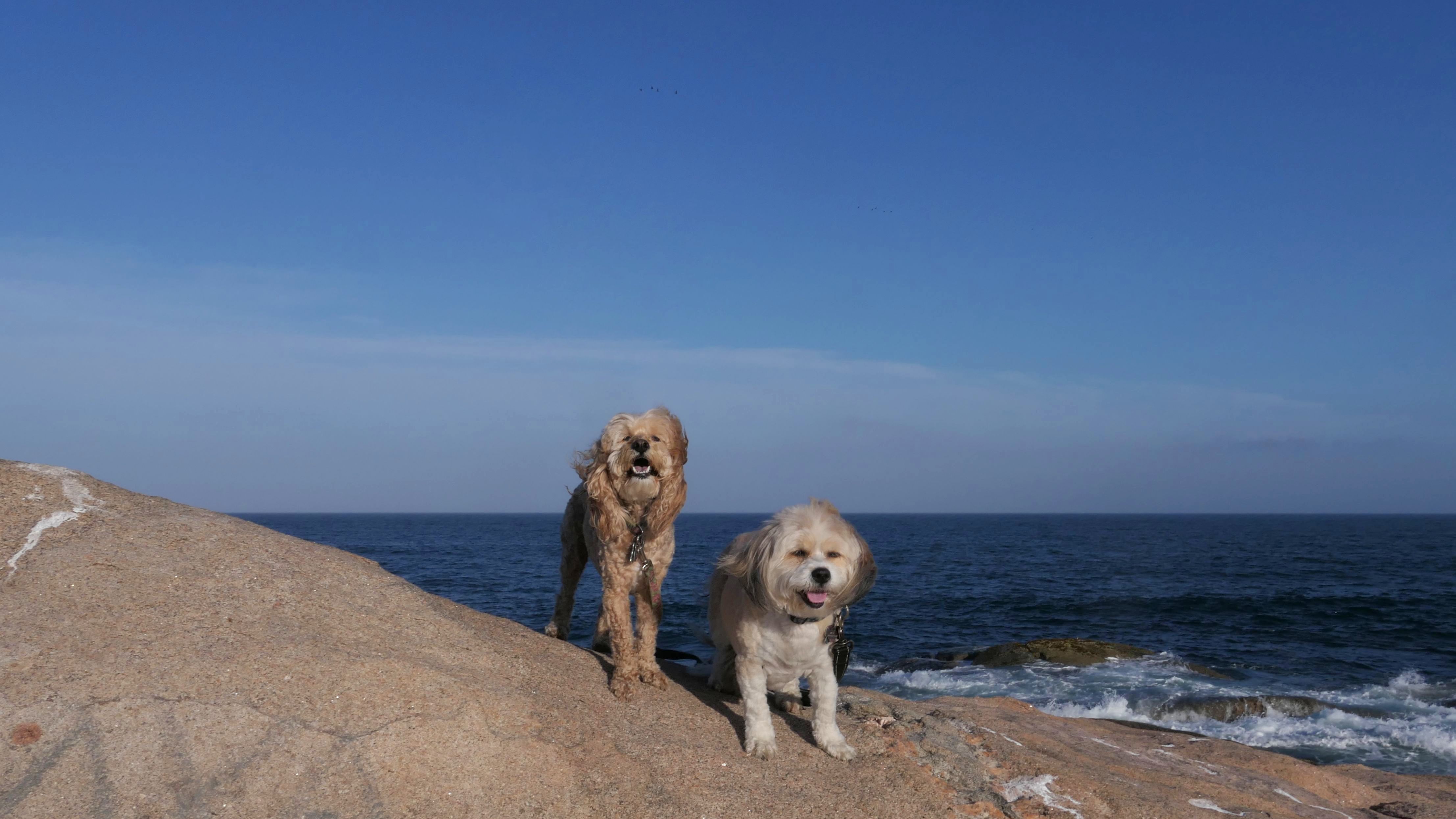
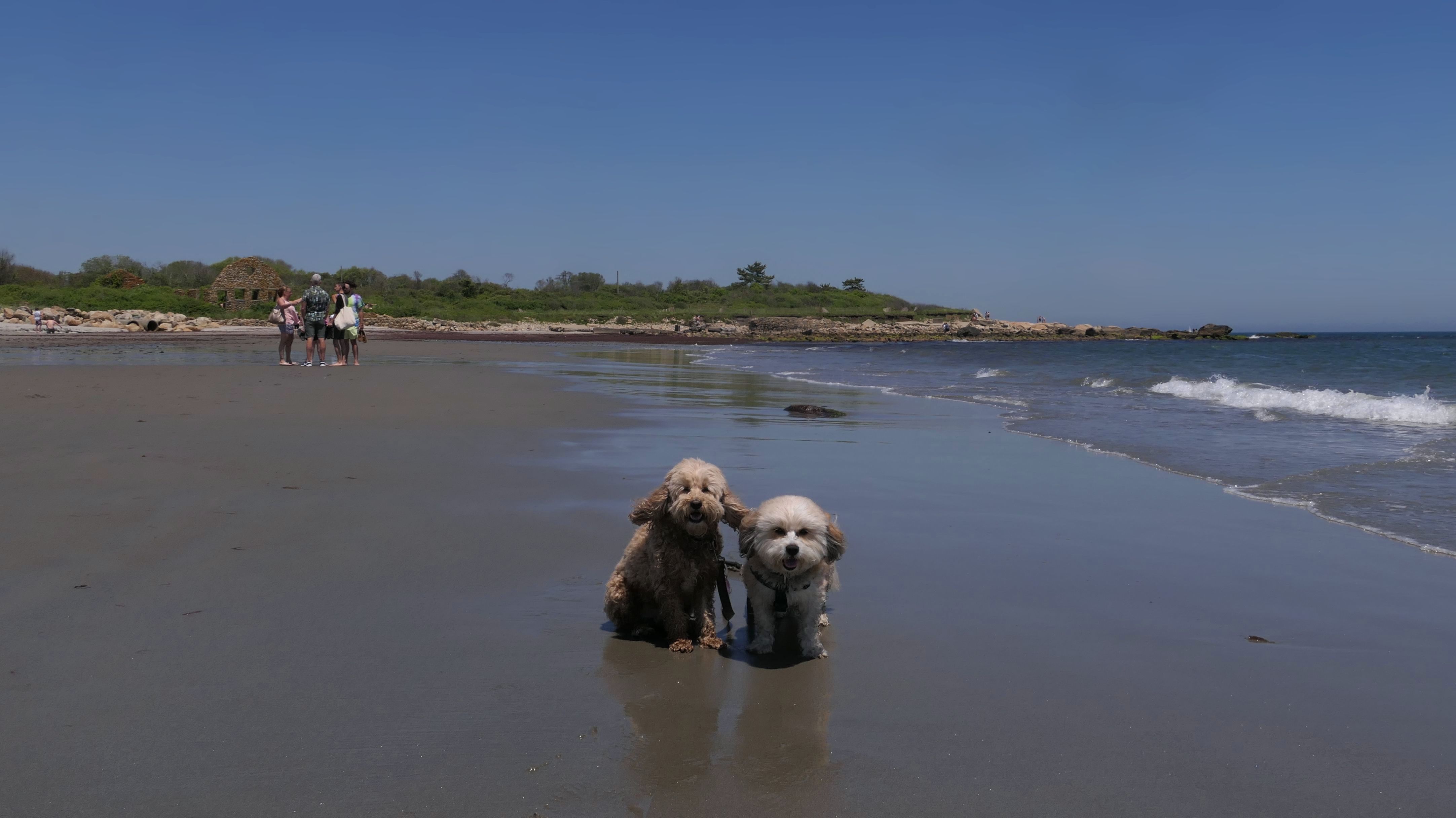
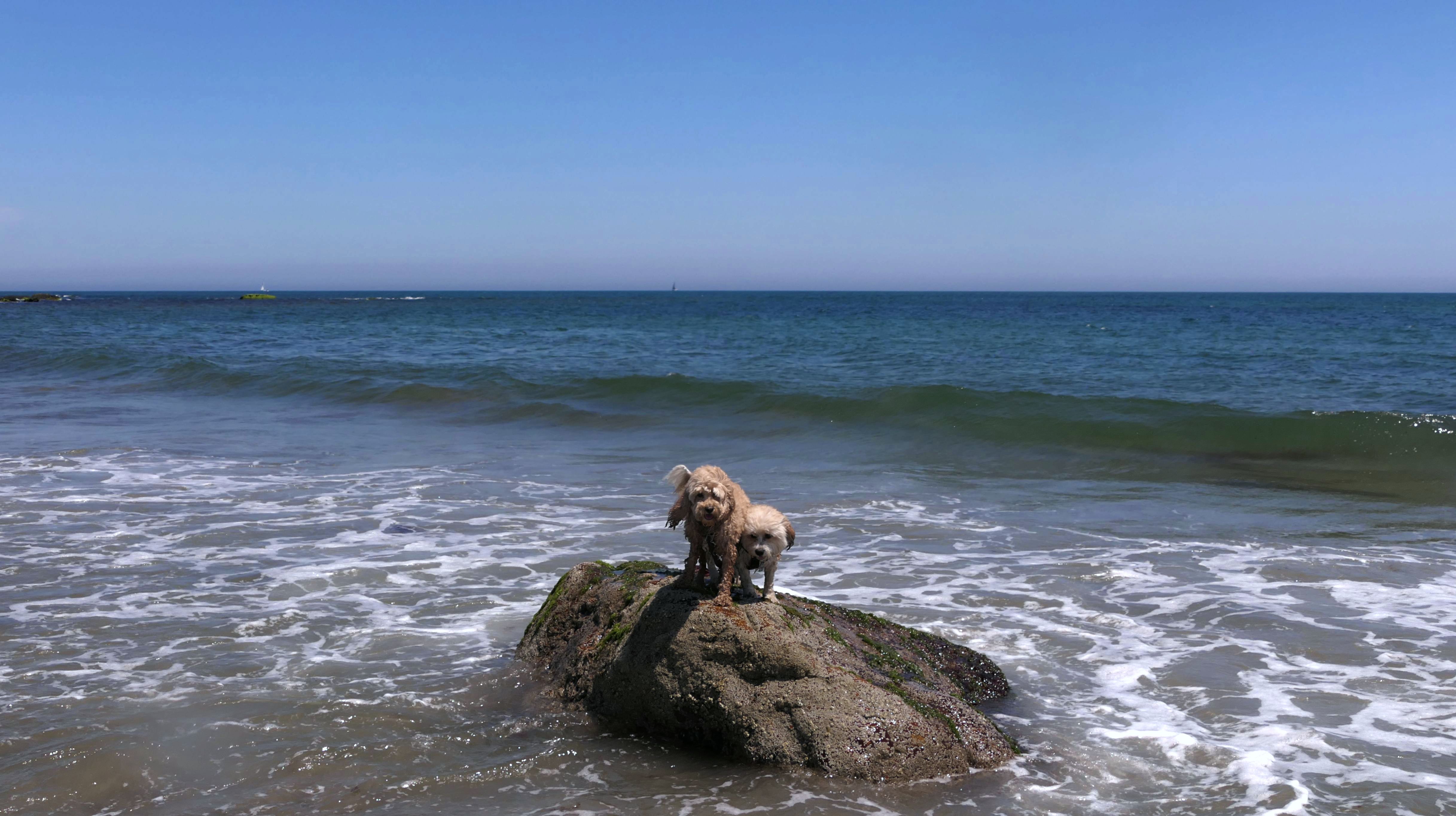
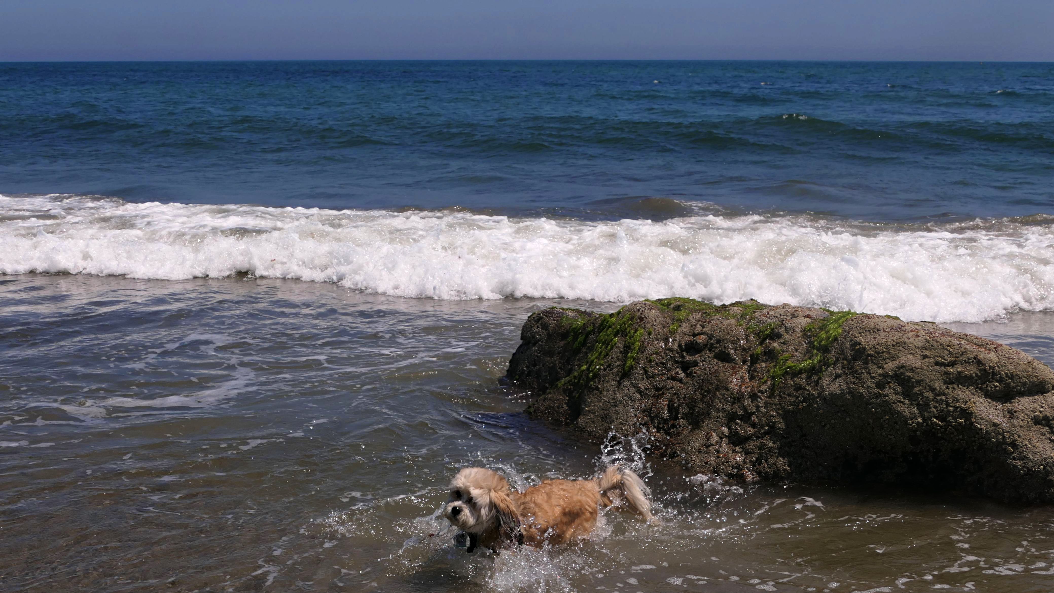
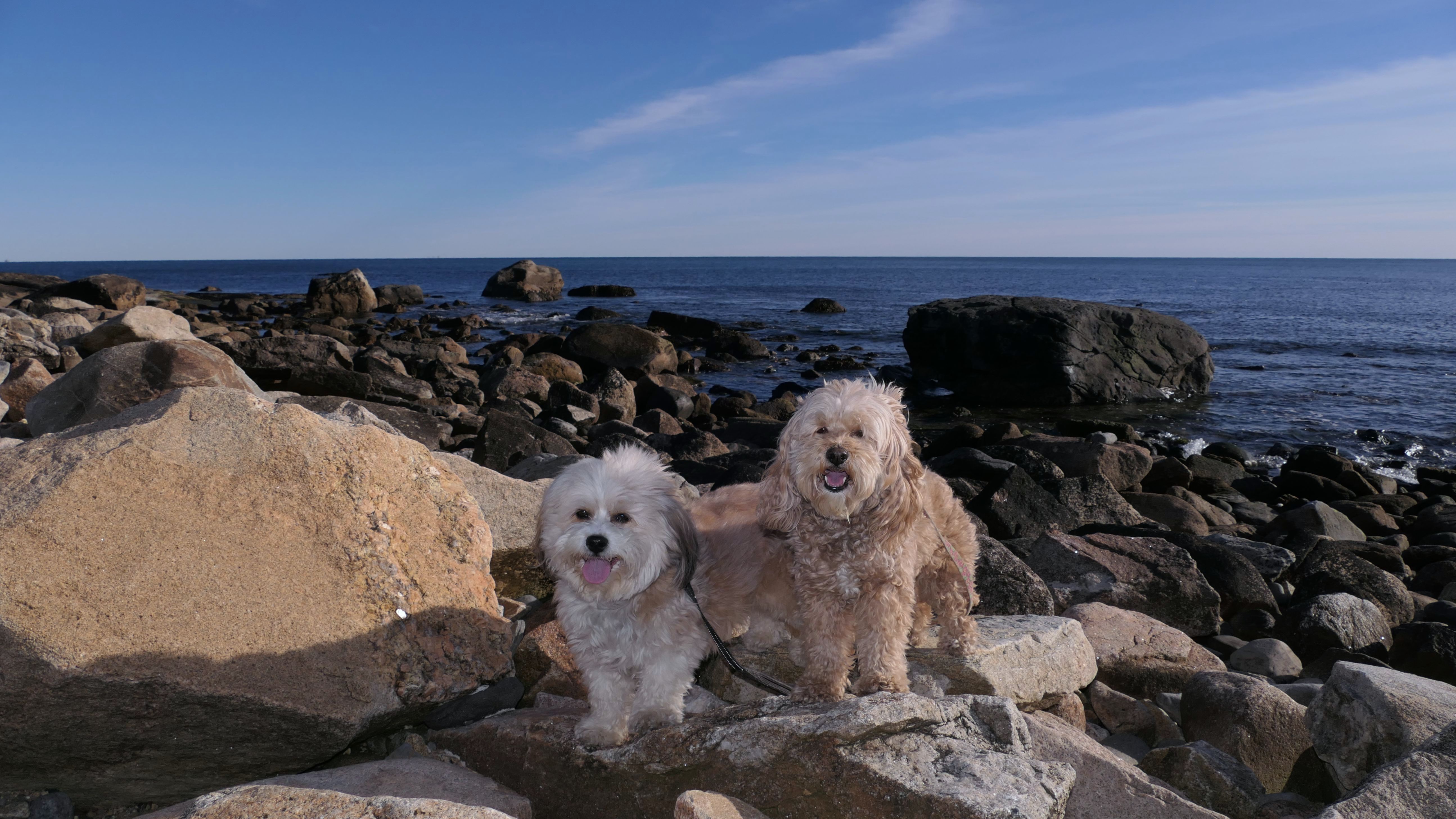
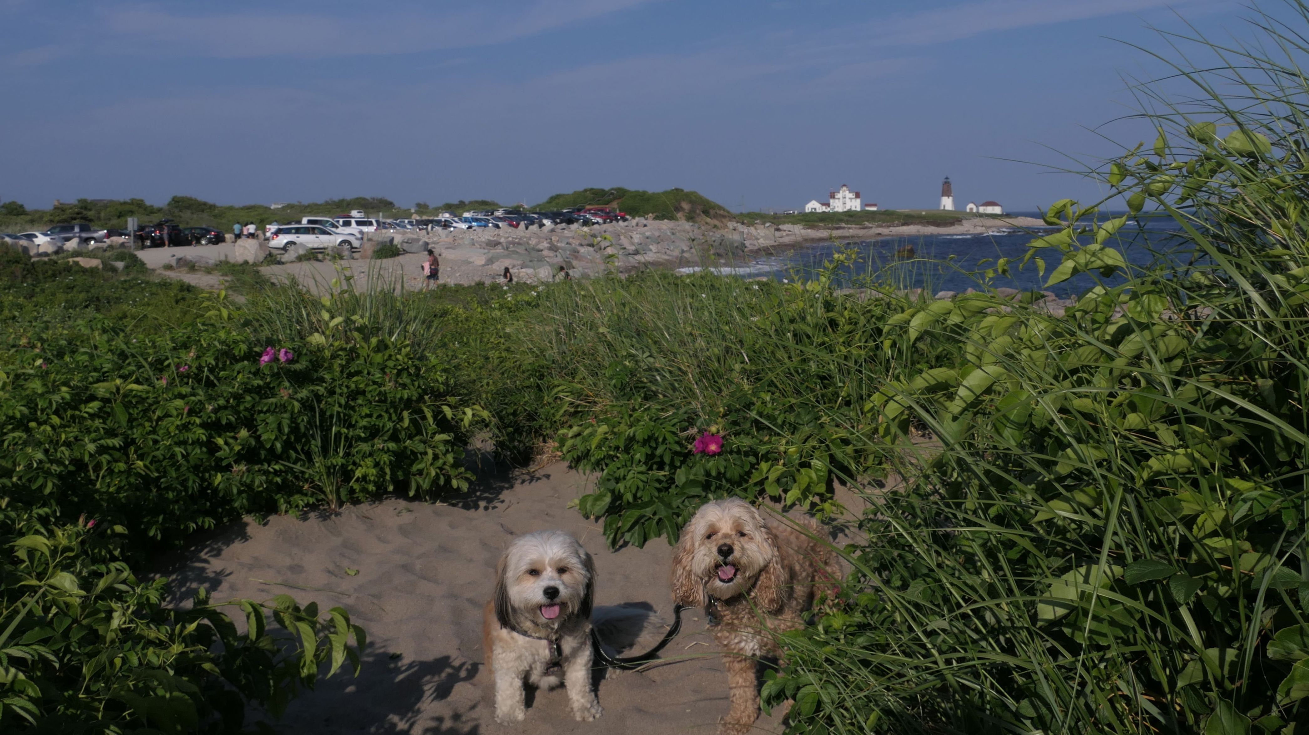
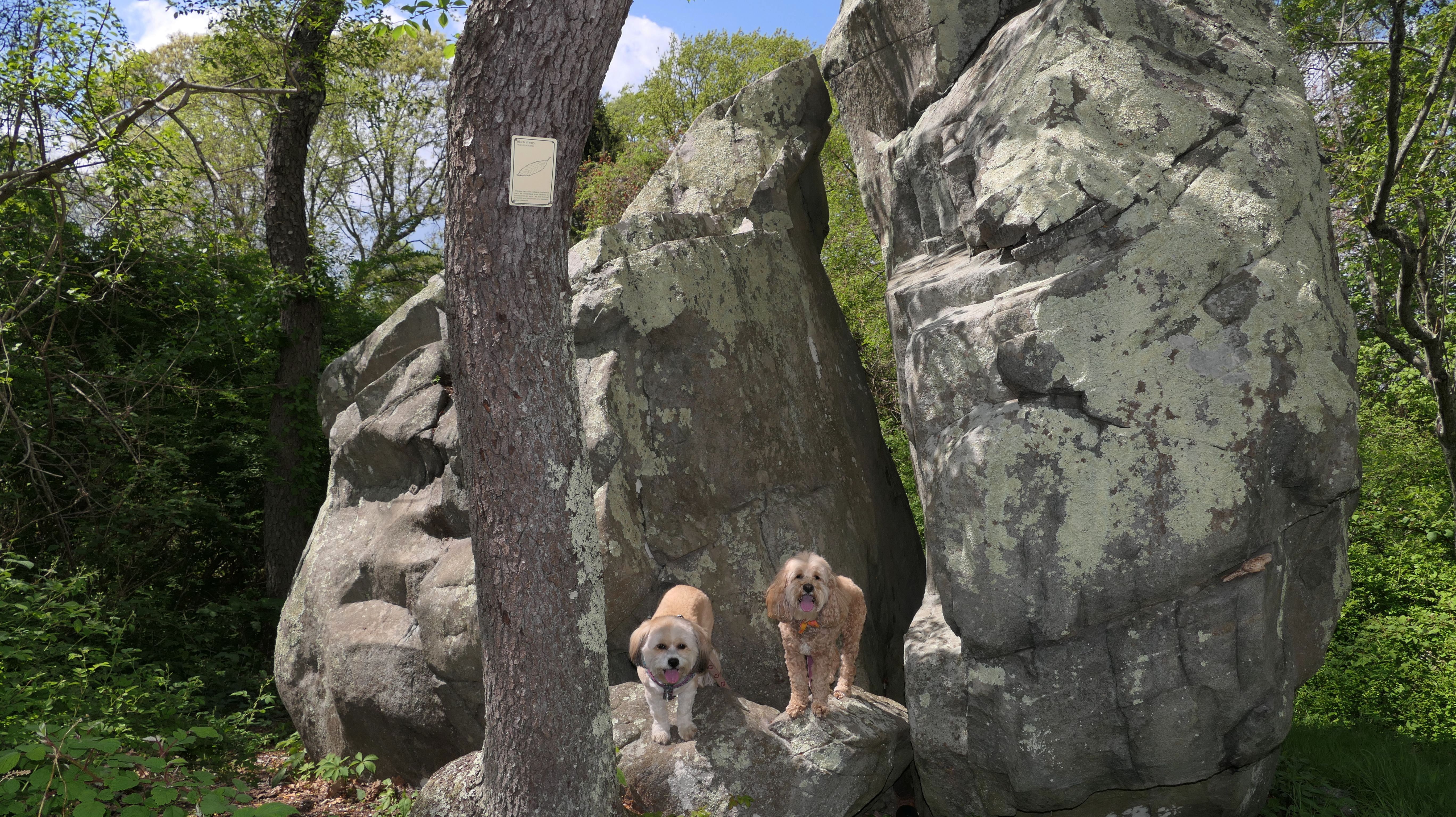
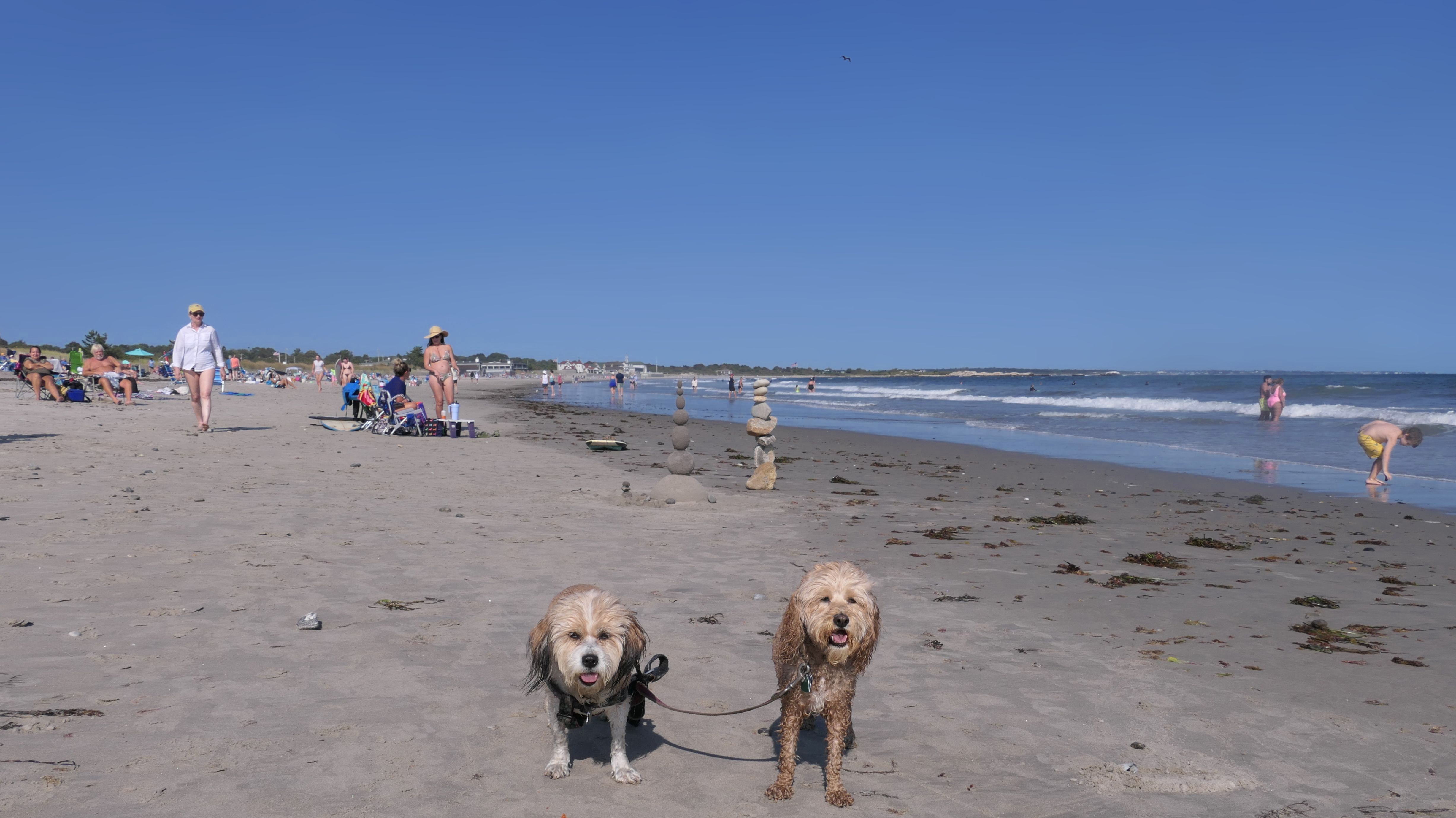
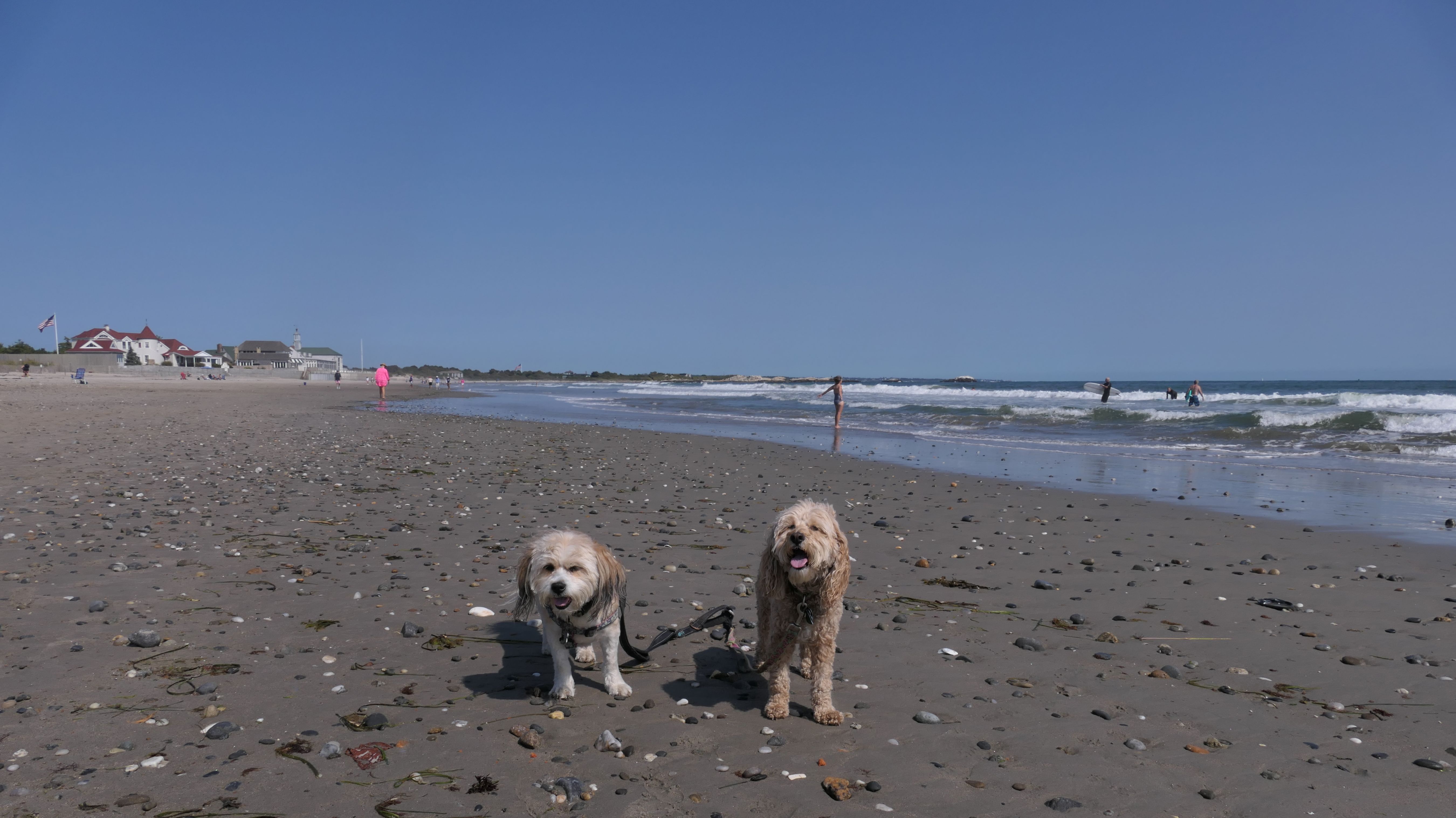
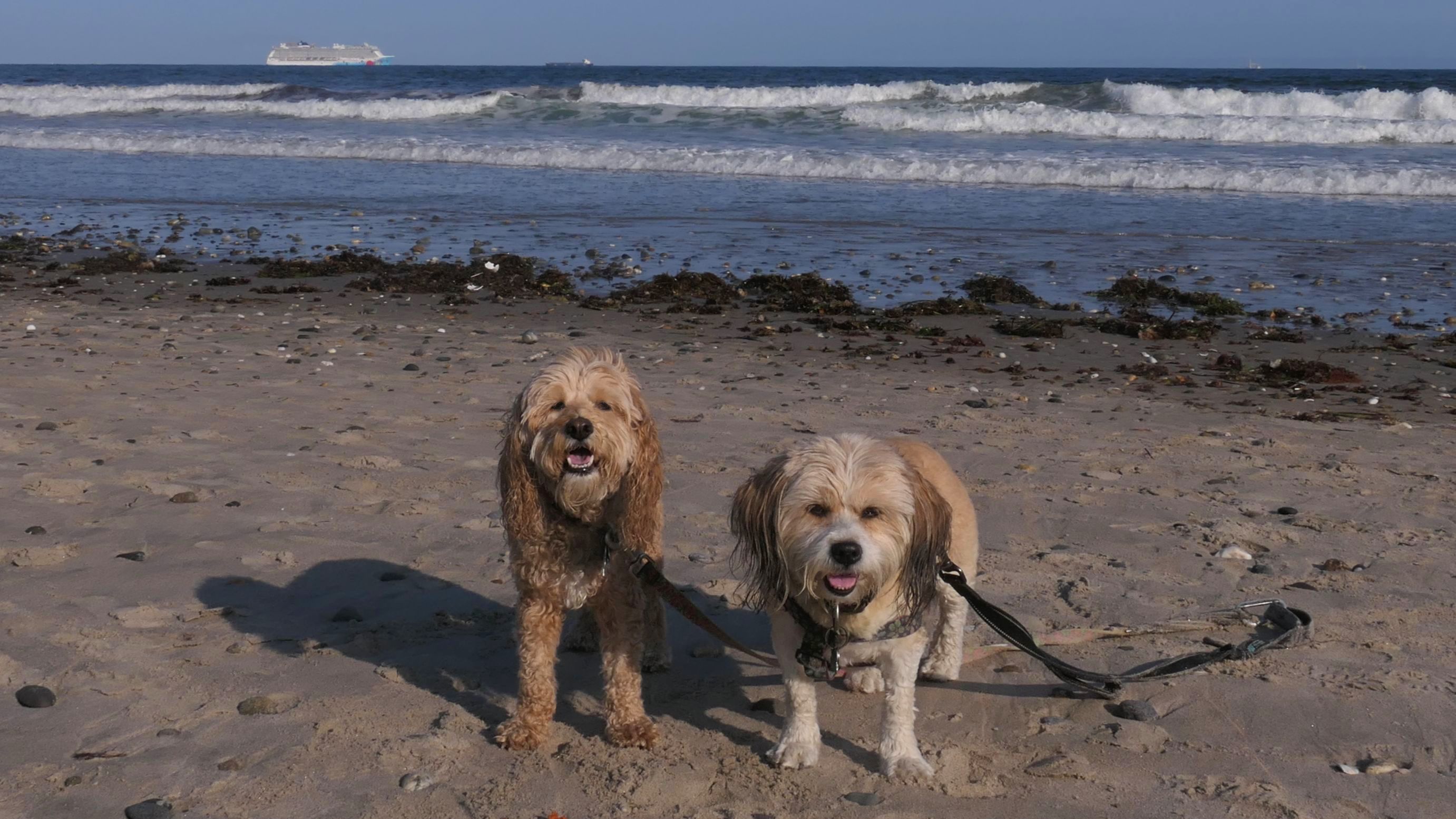
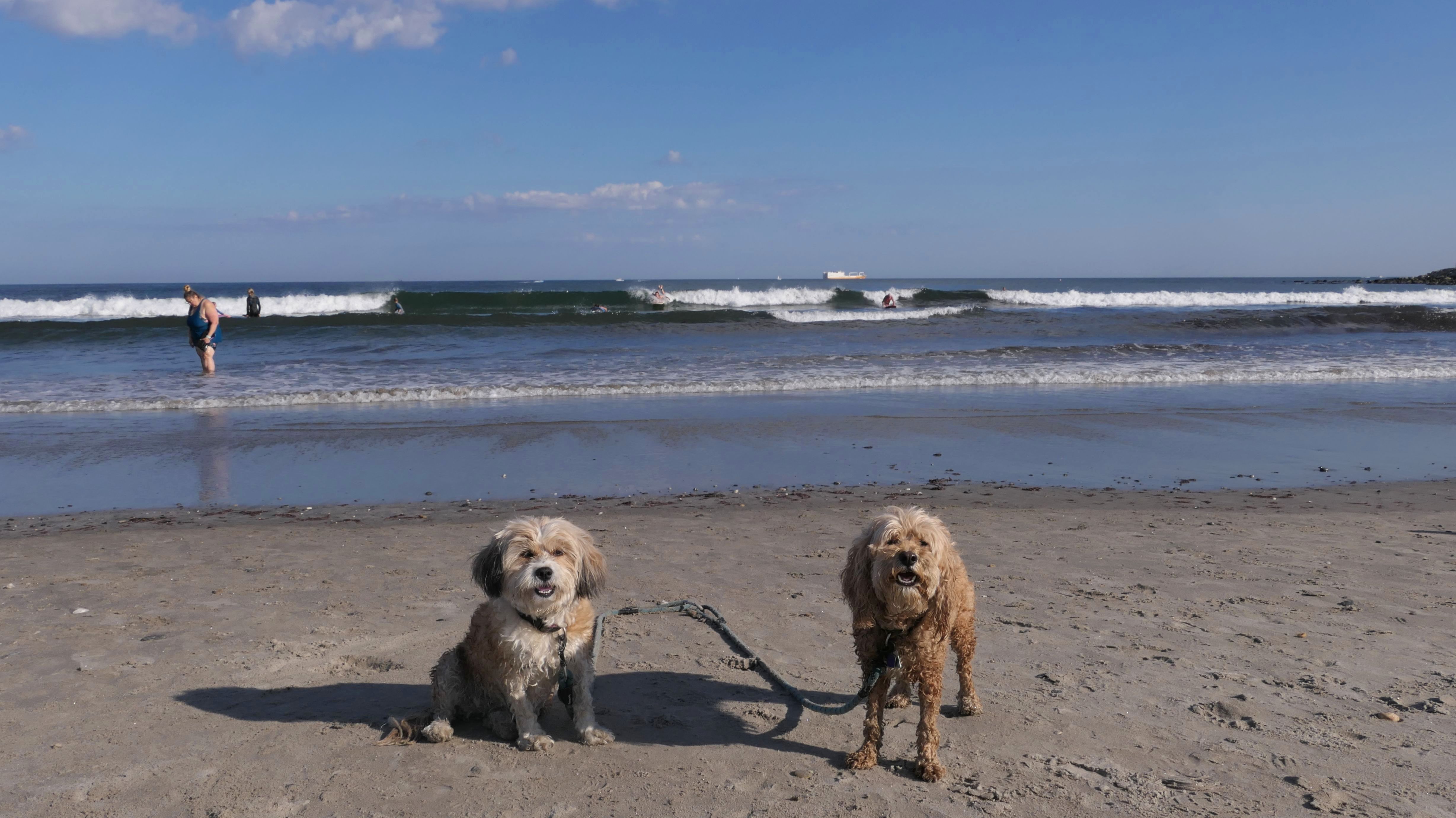
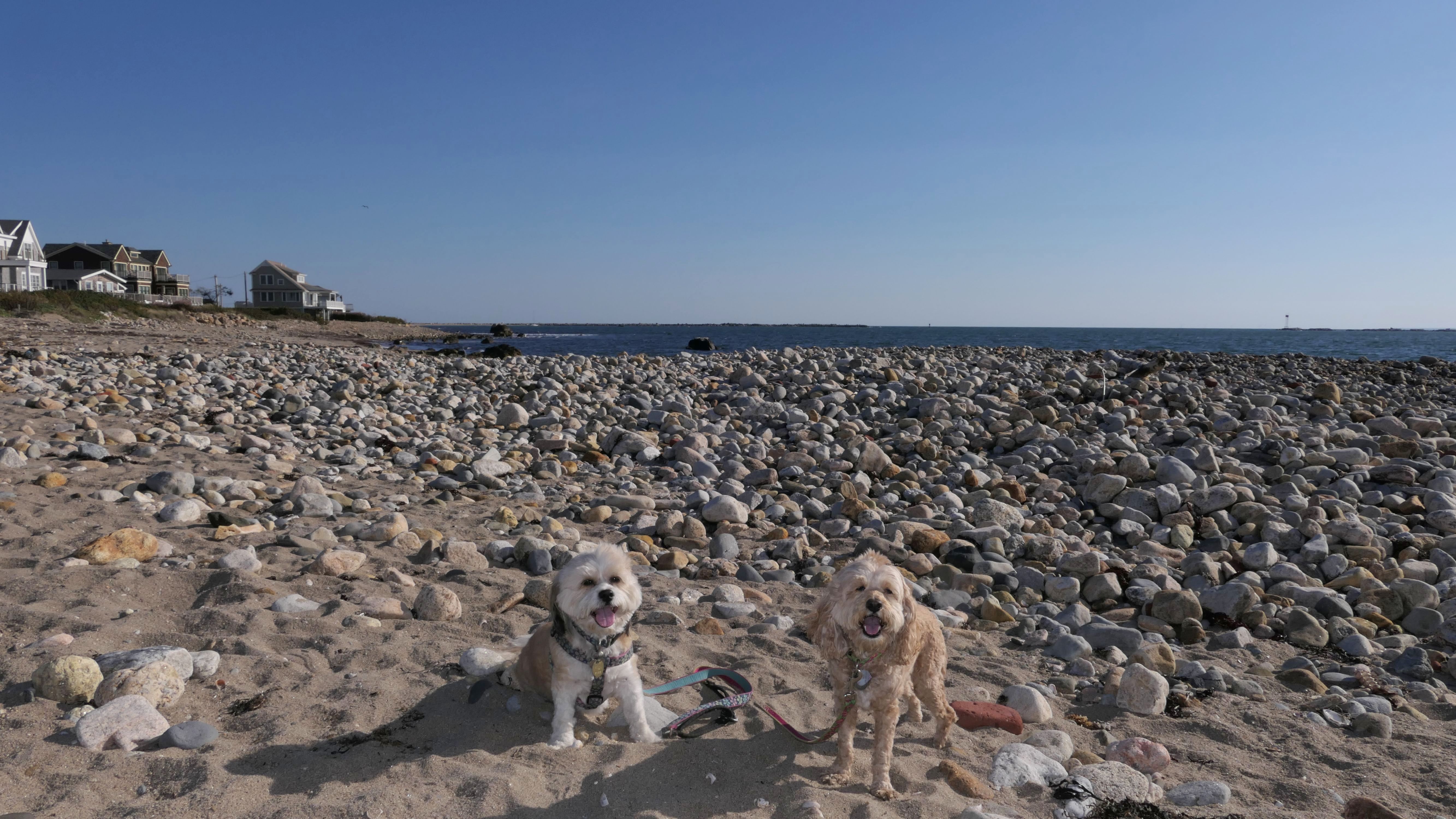
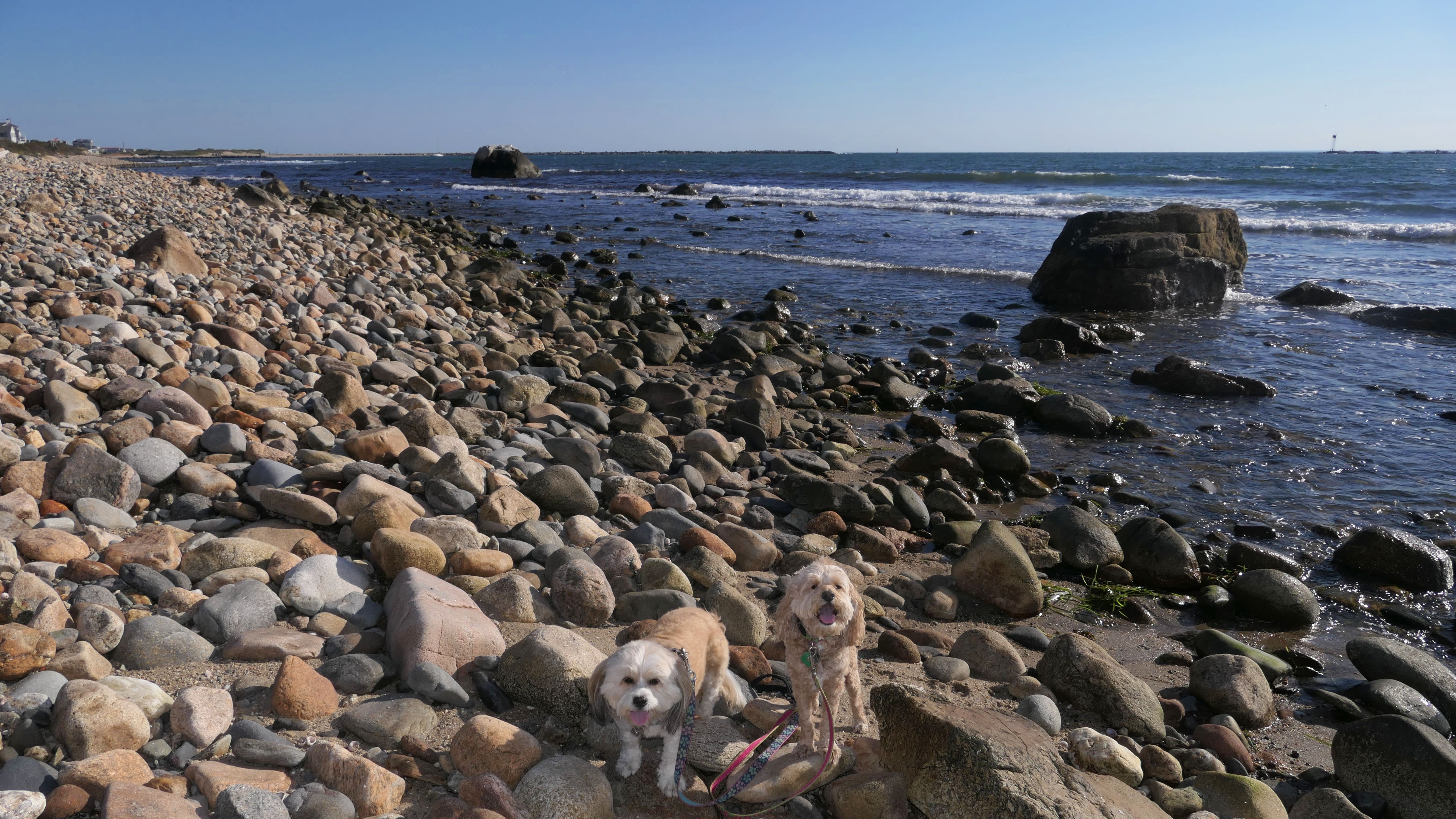
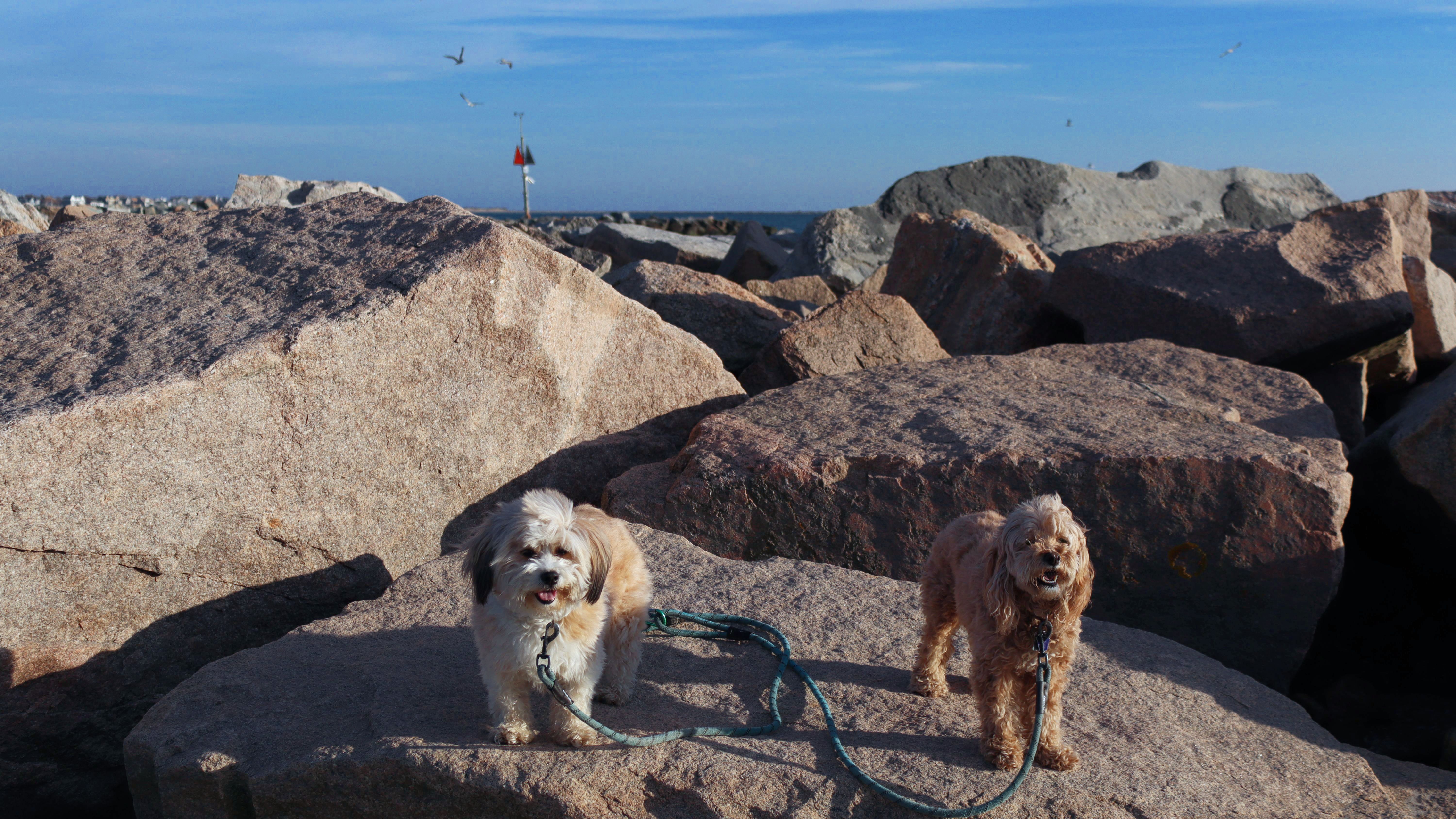
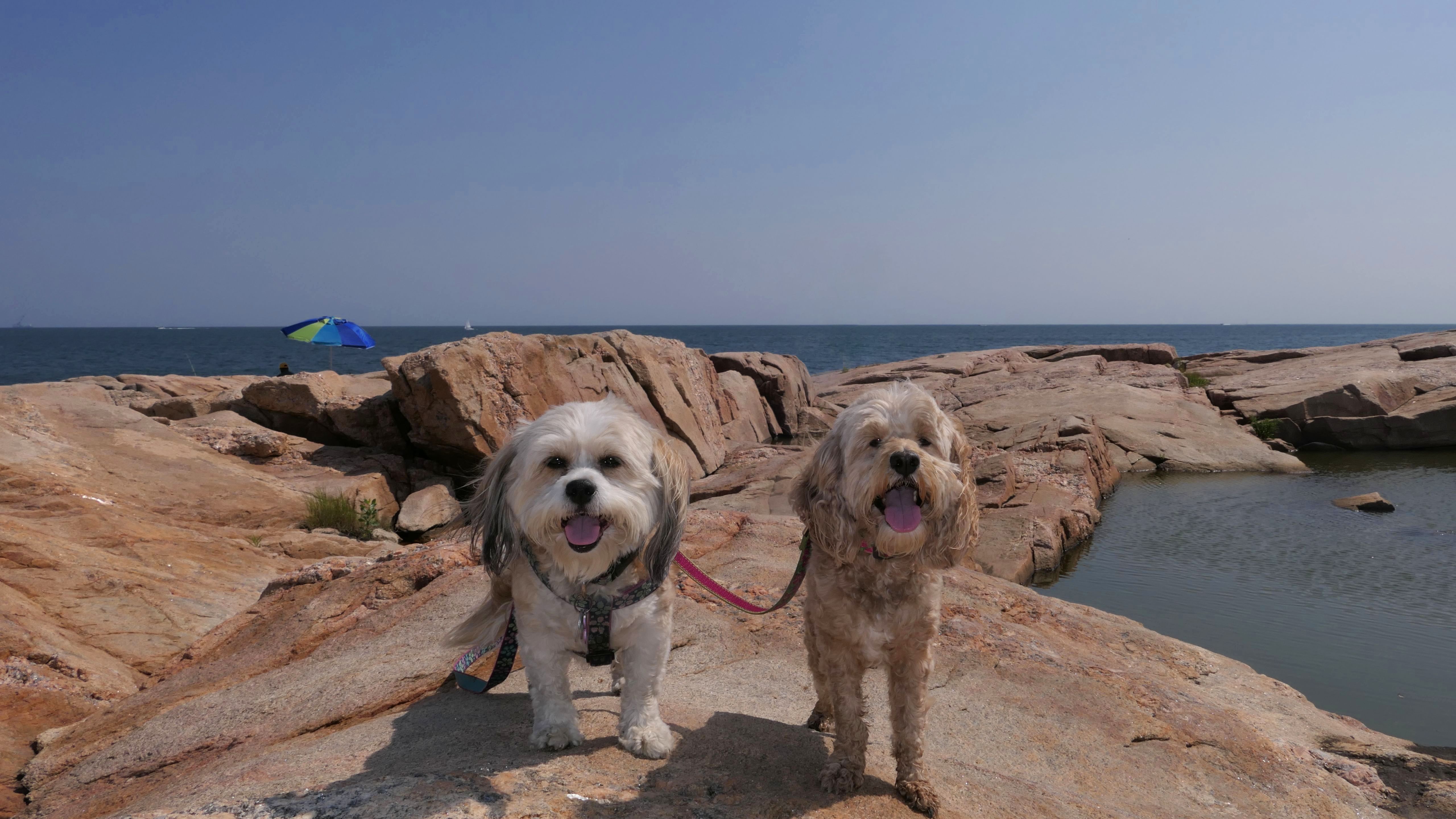
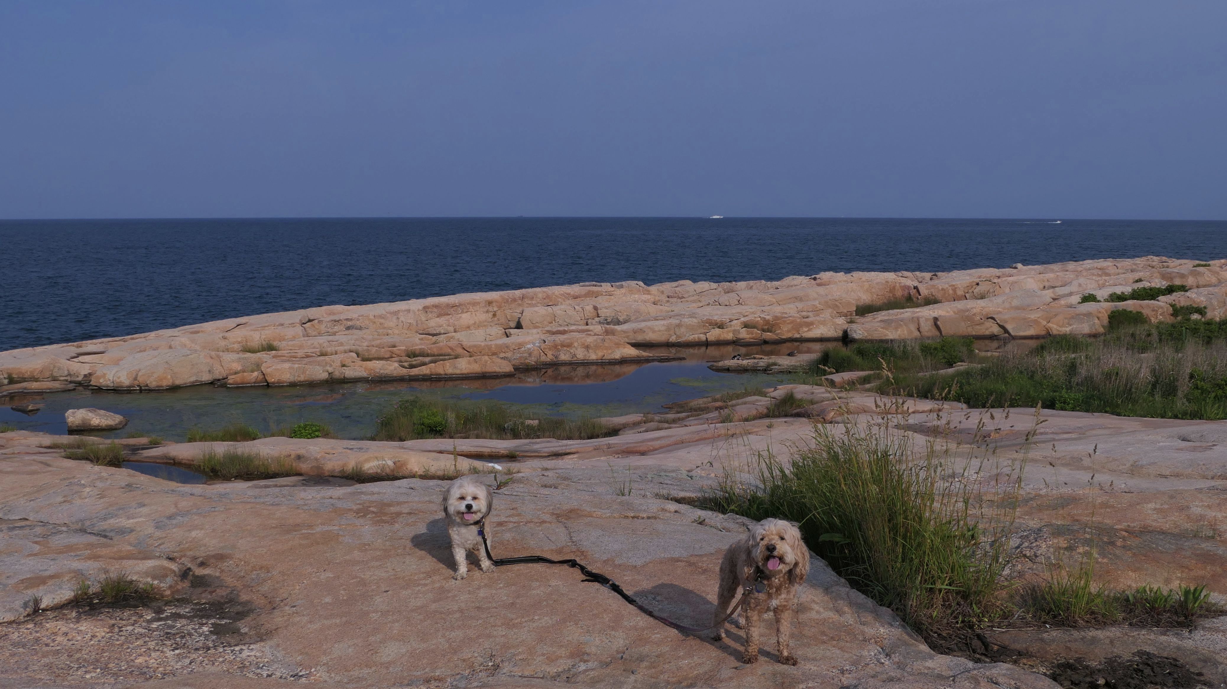
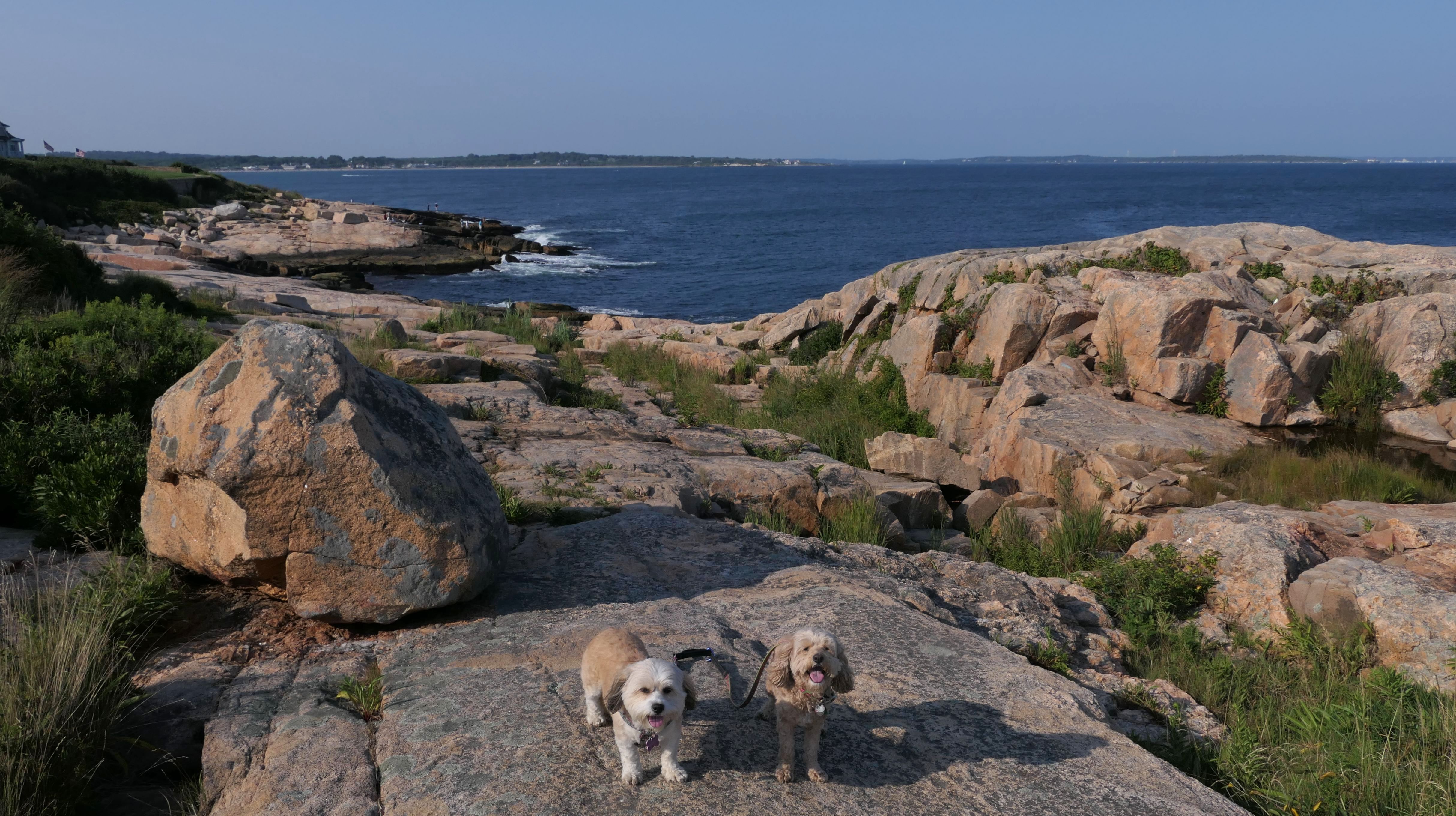
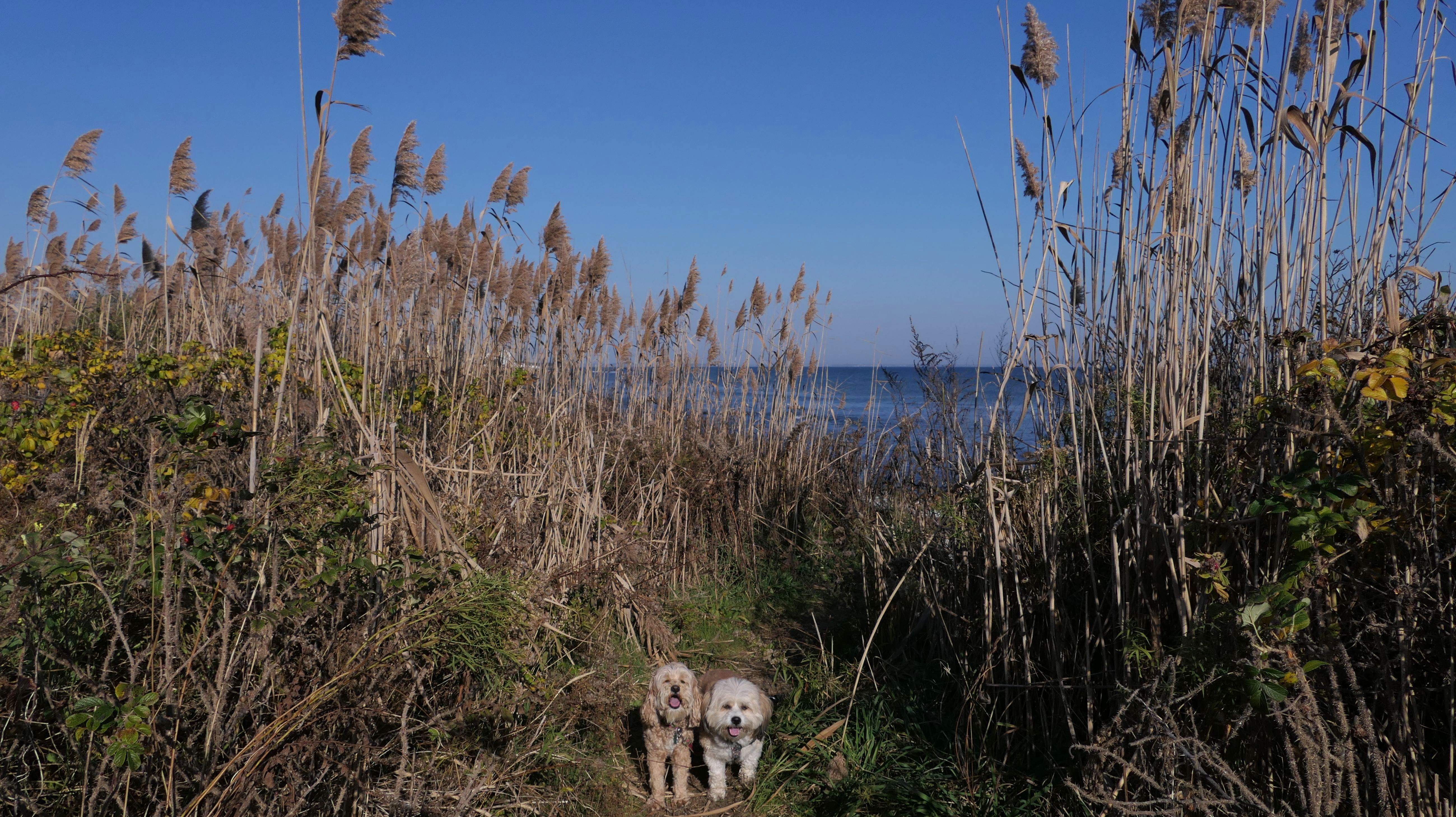
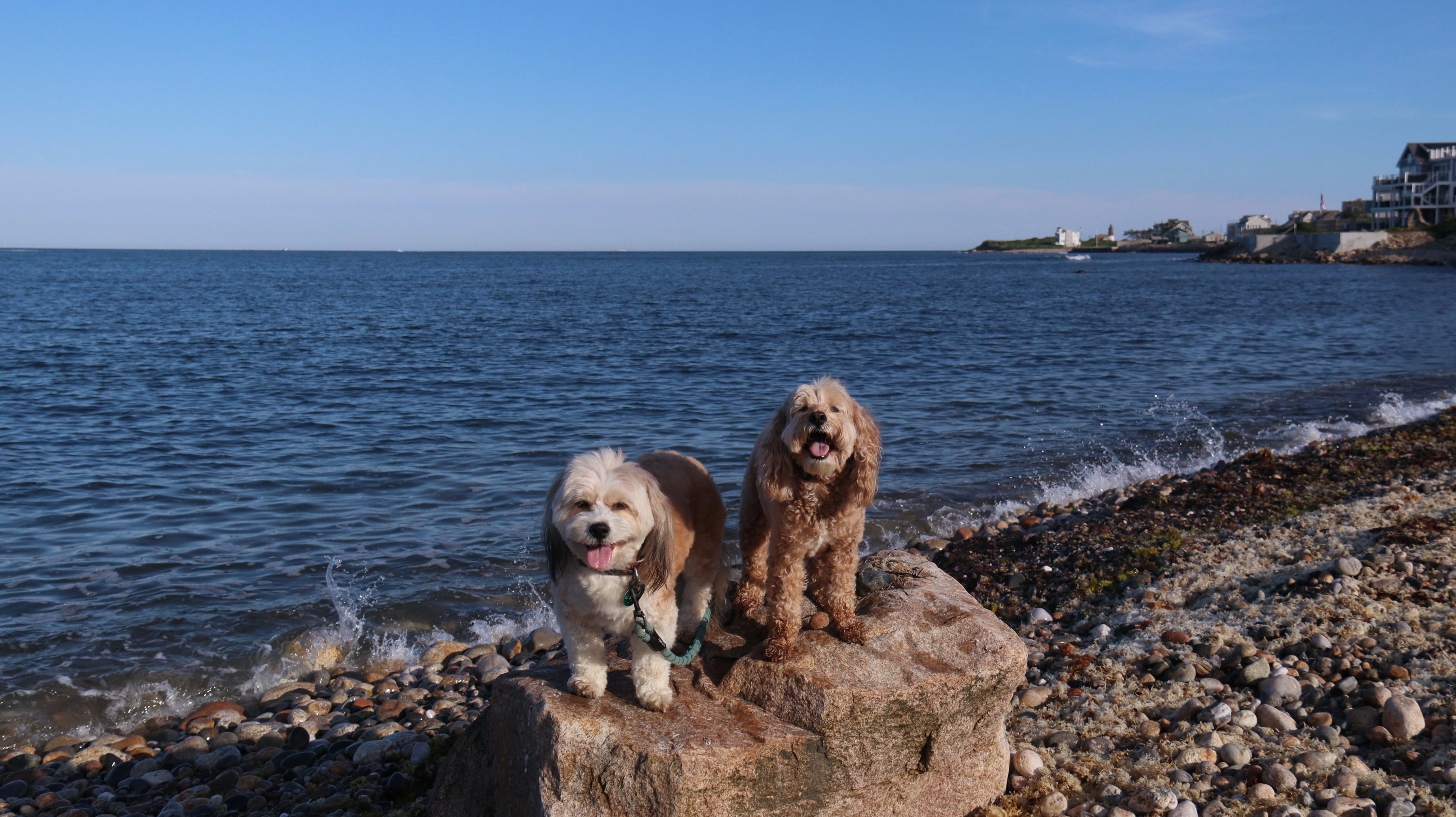
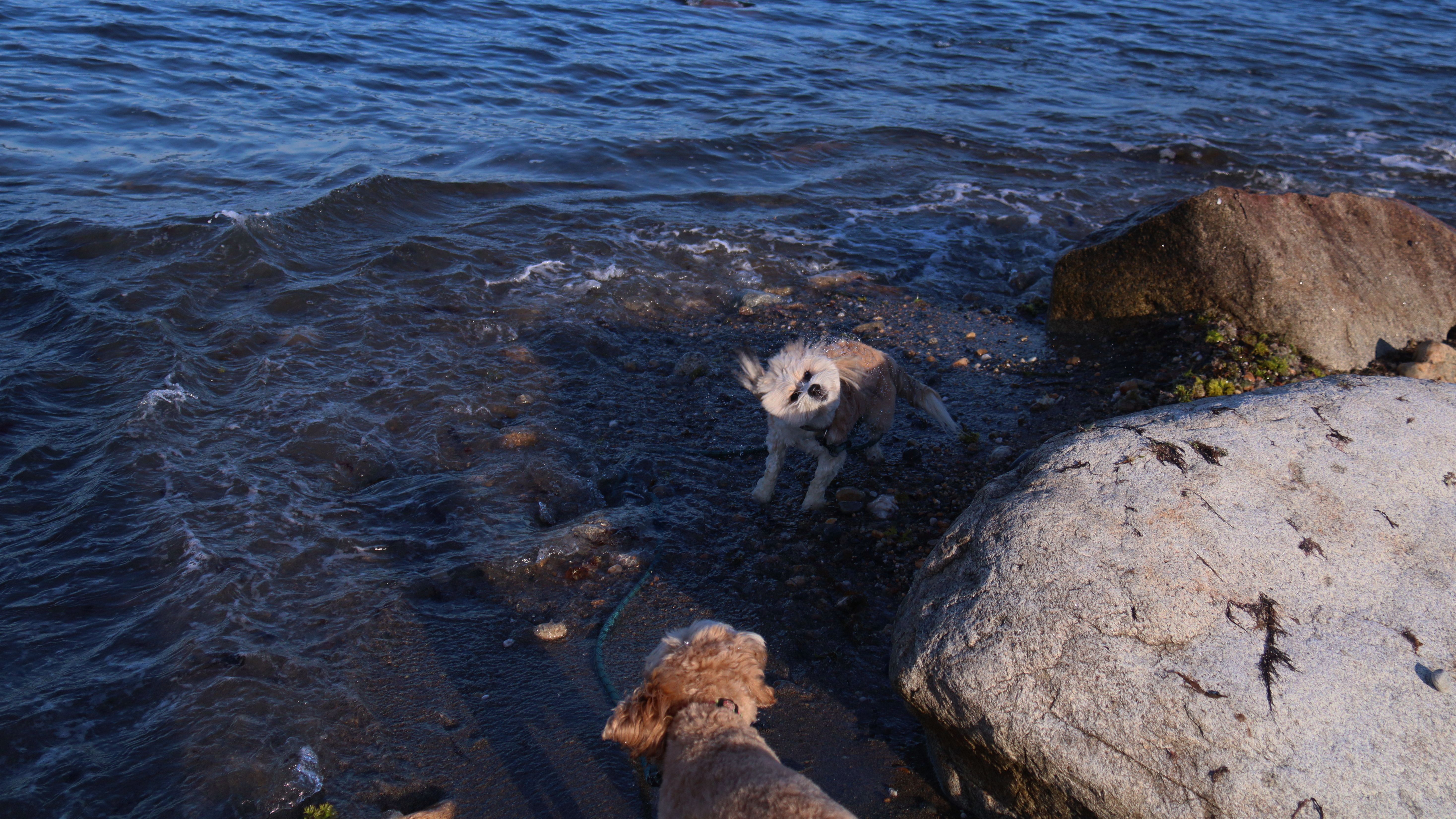
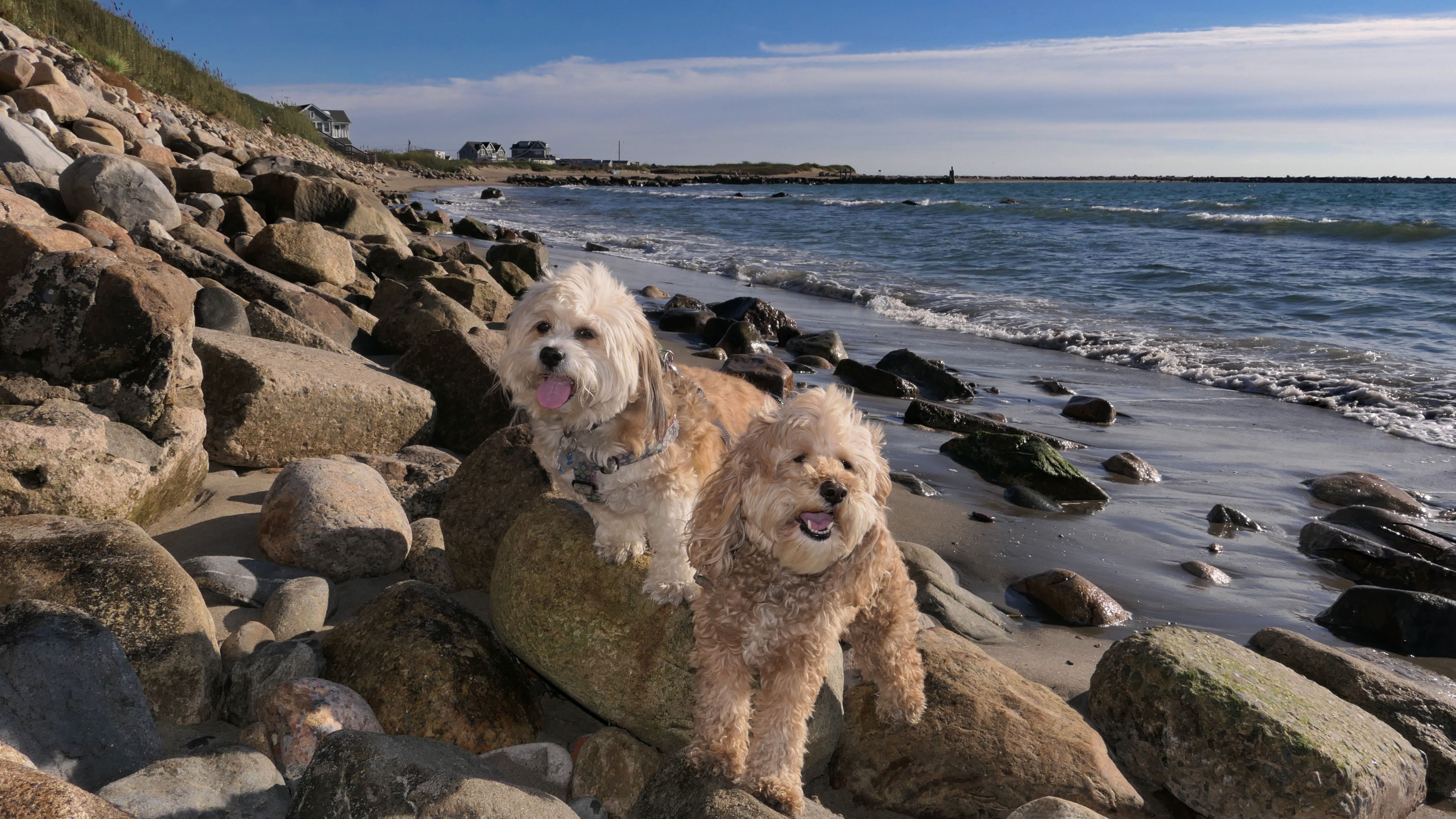
Date visited: 3/12/2025
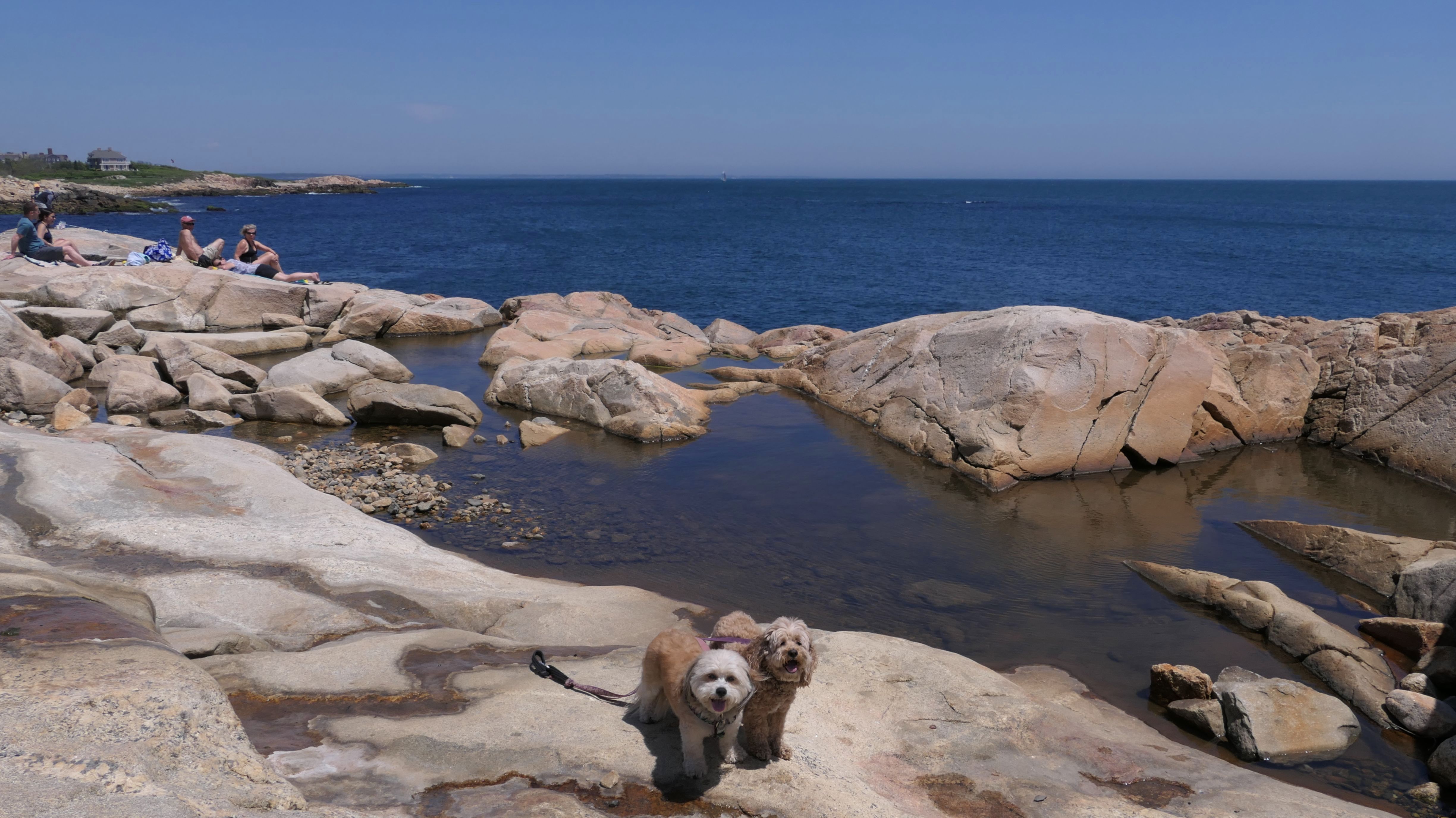
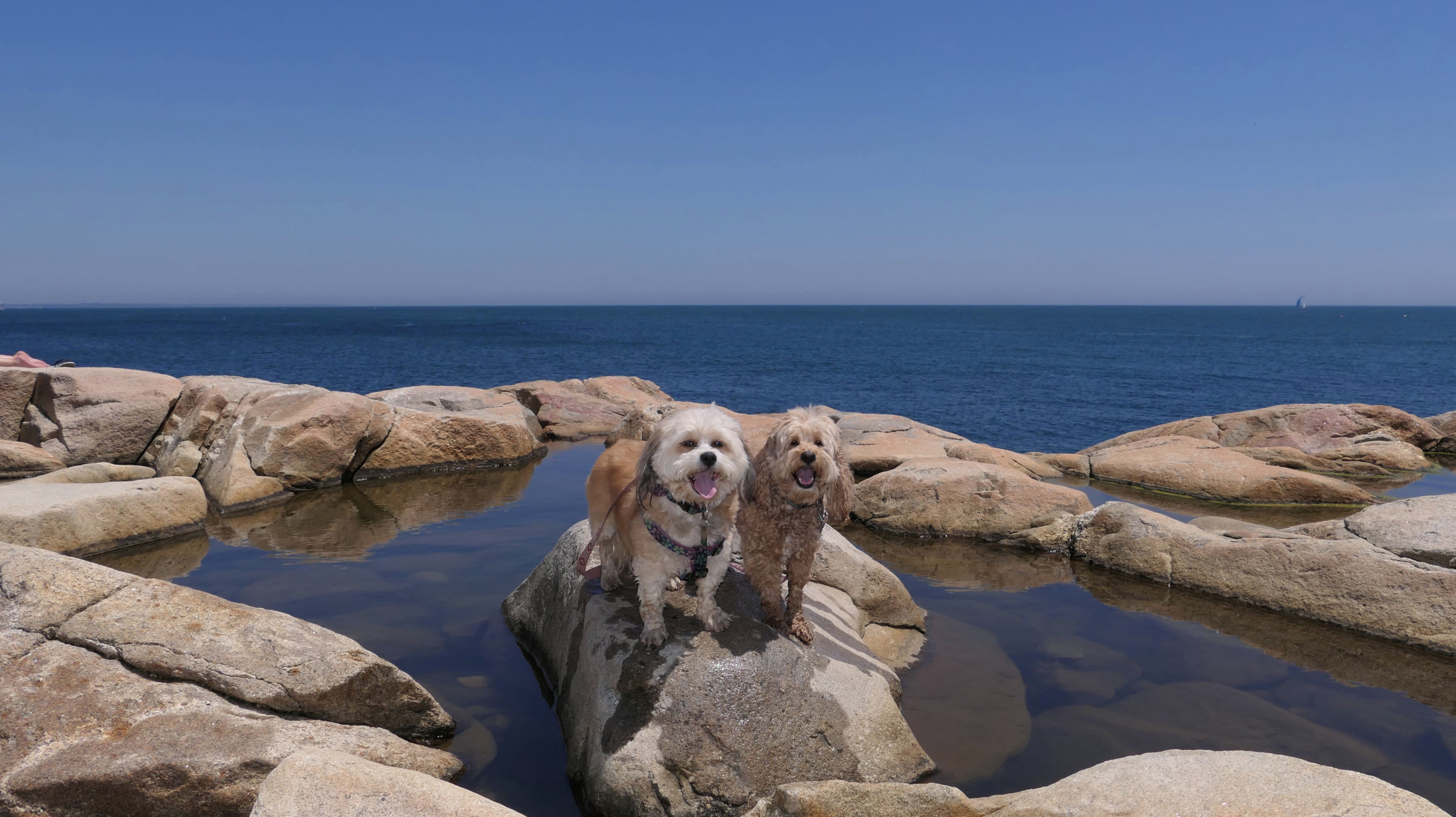
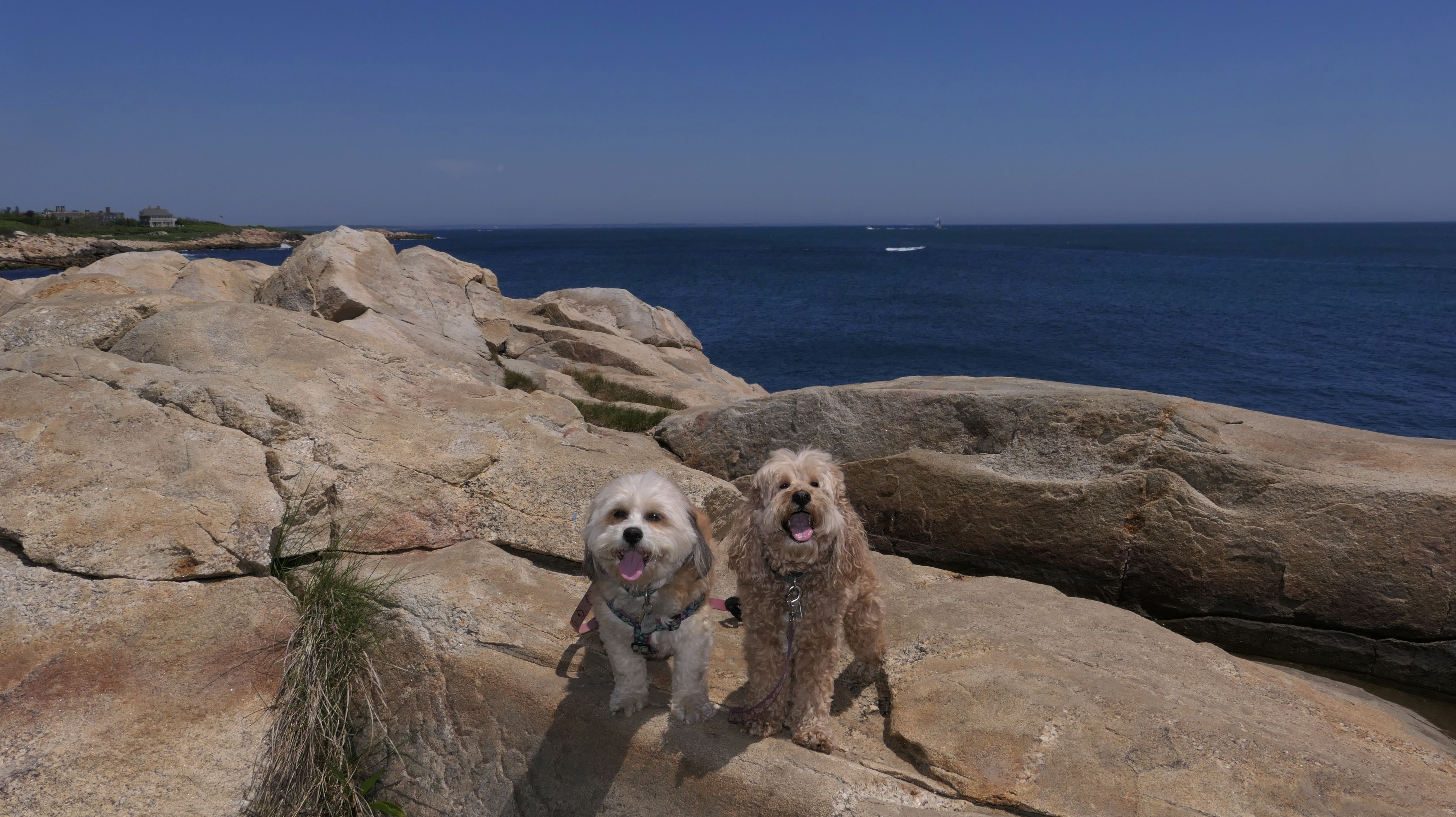
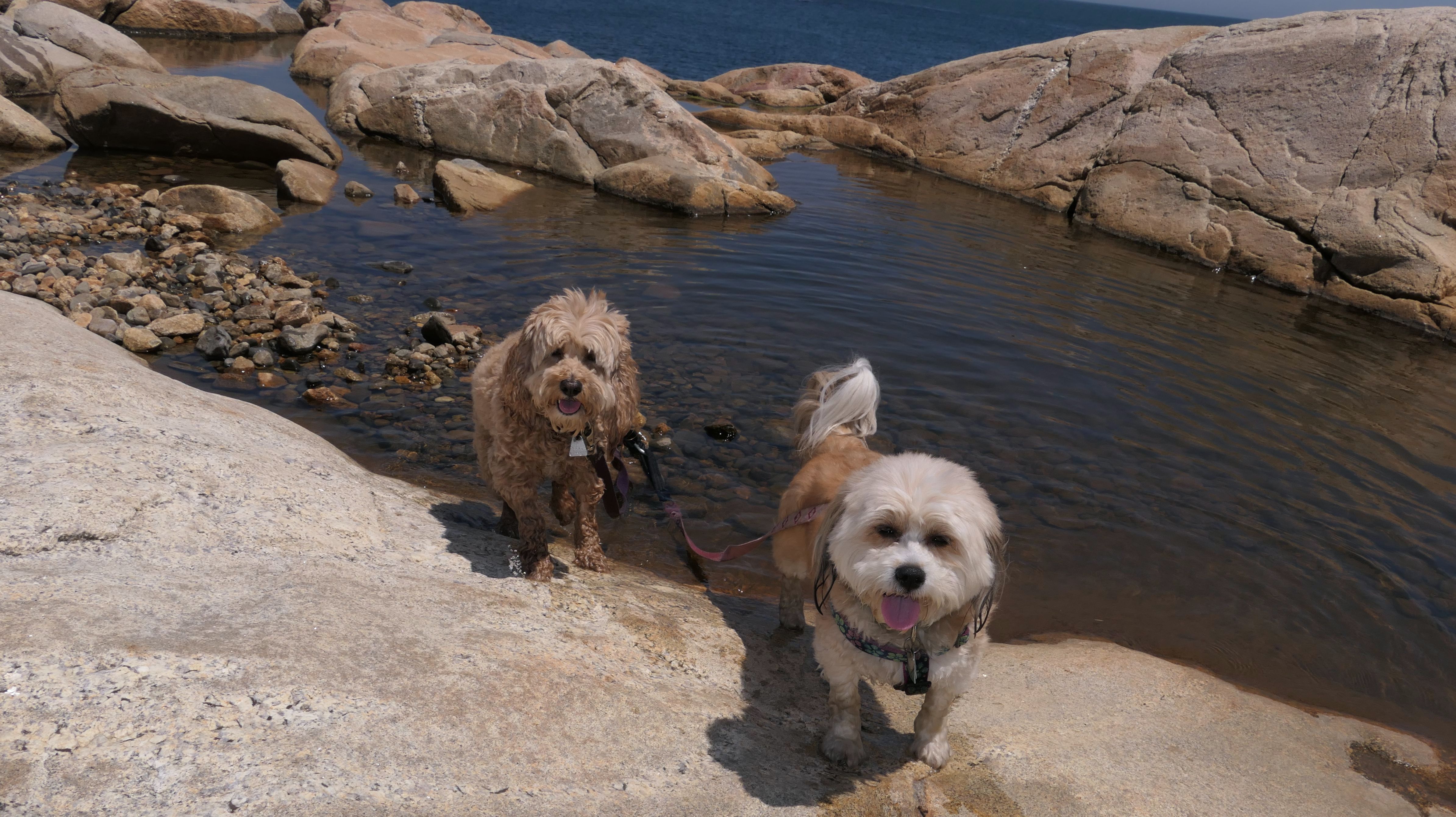
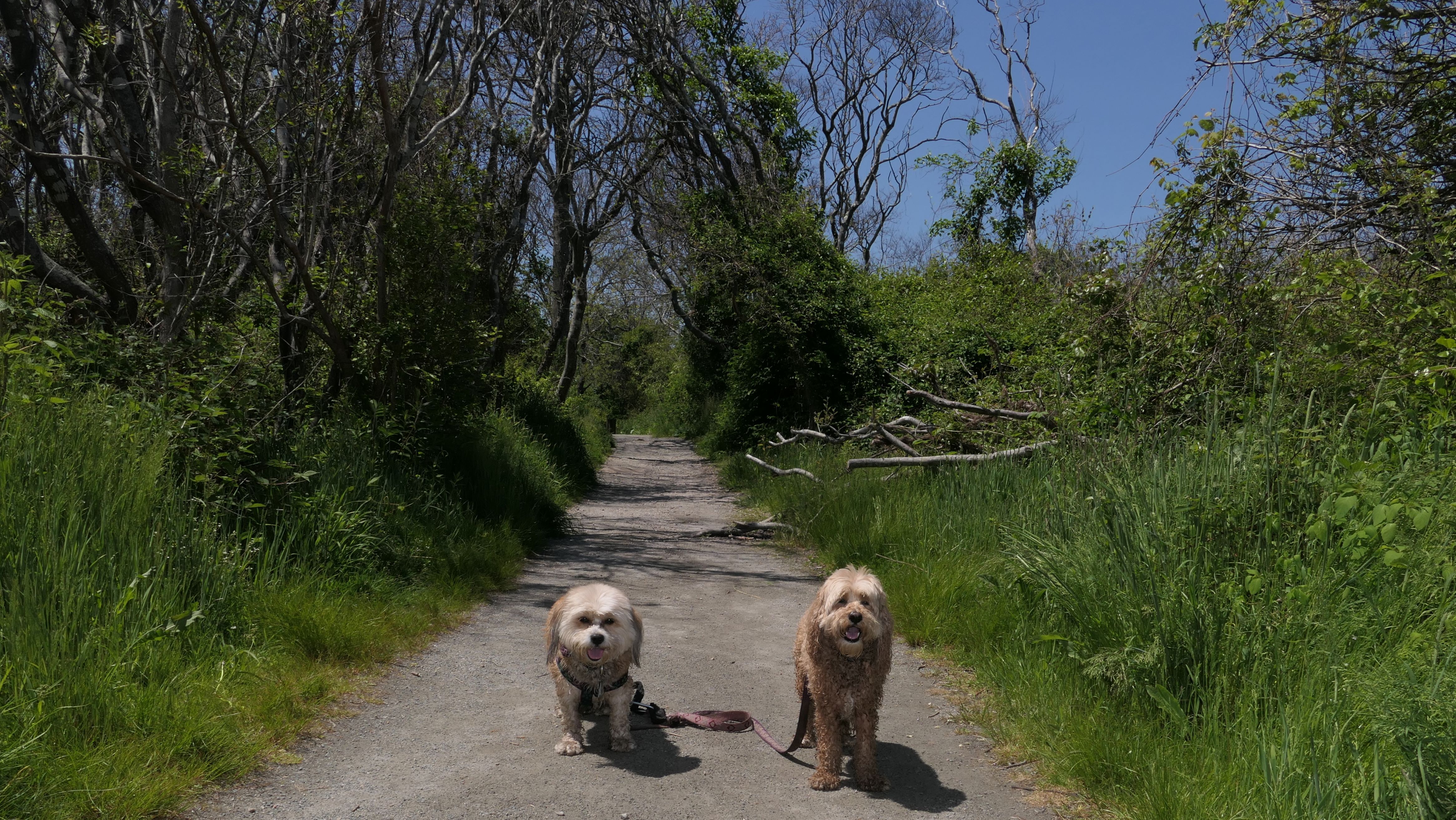
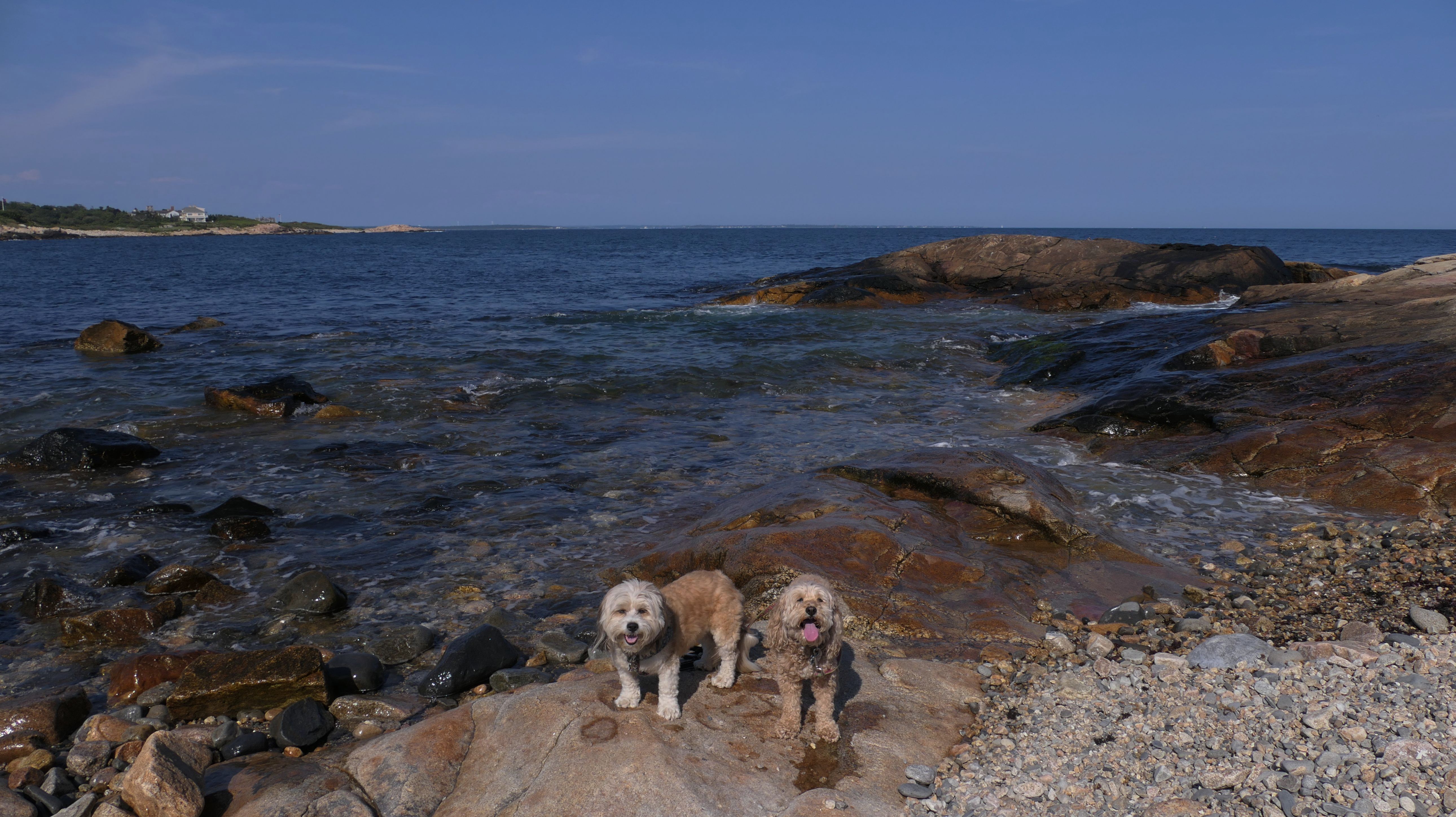
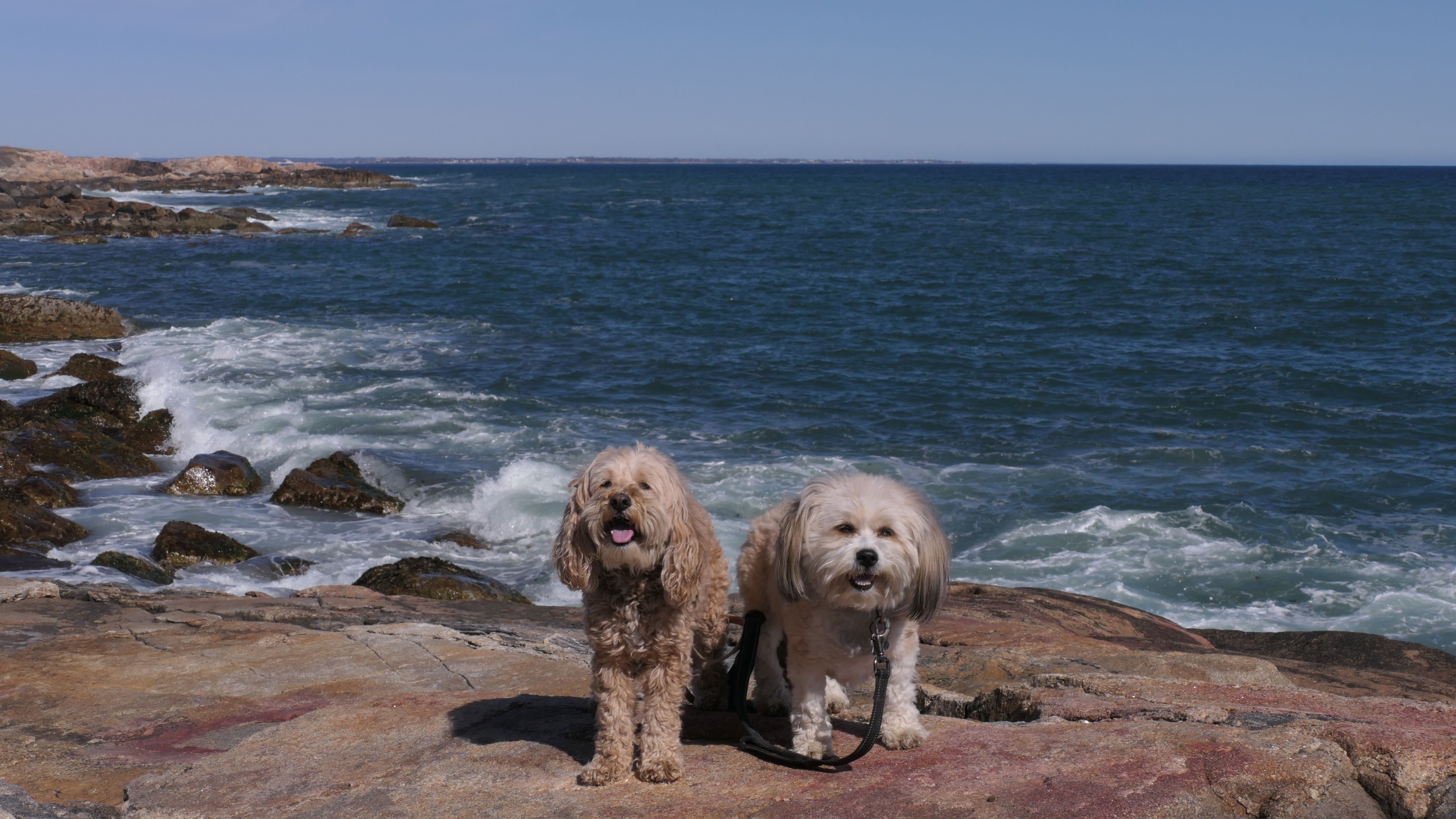
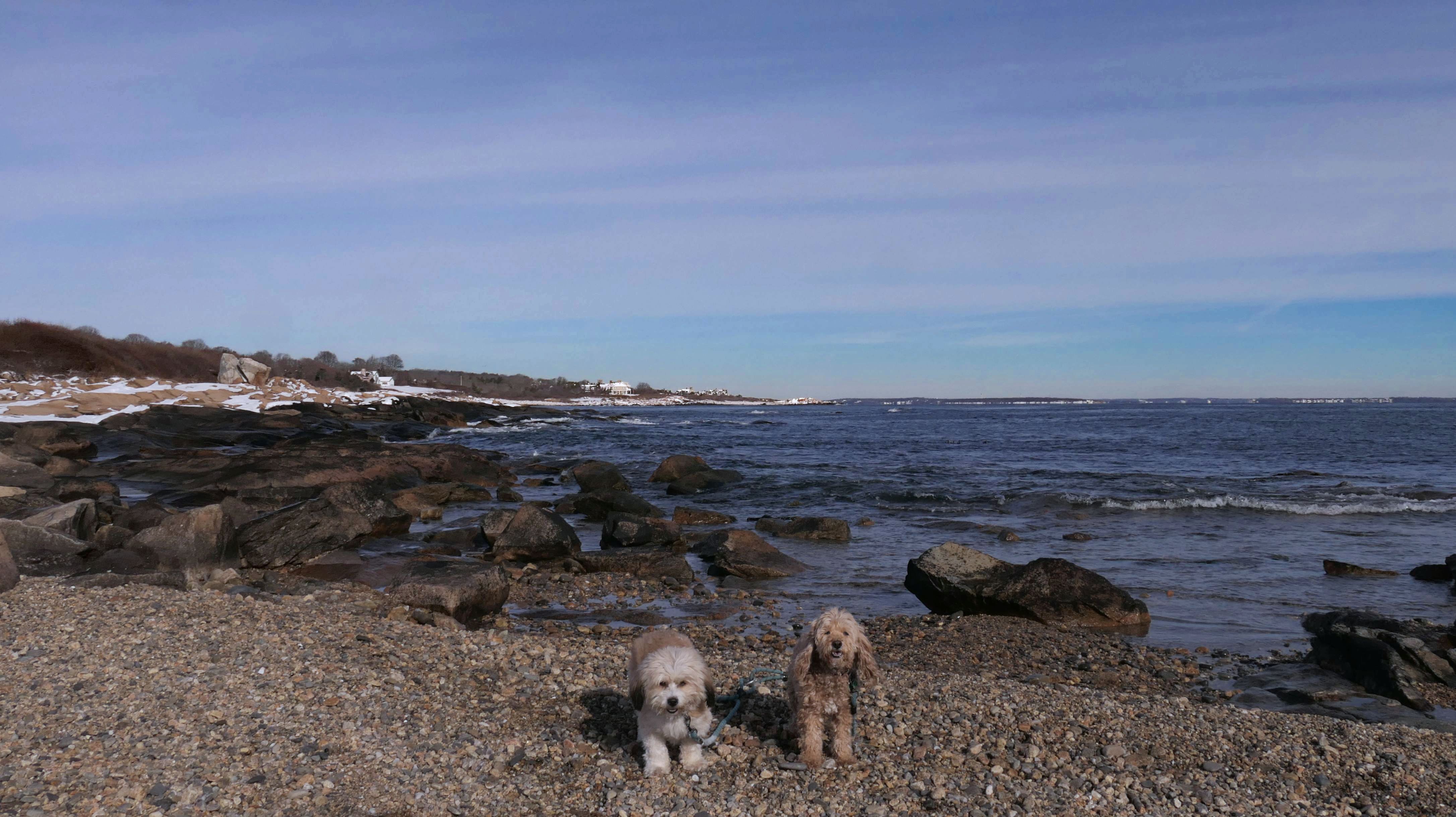
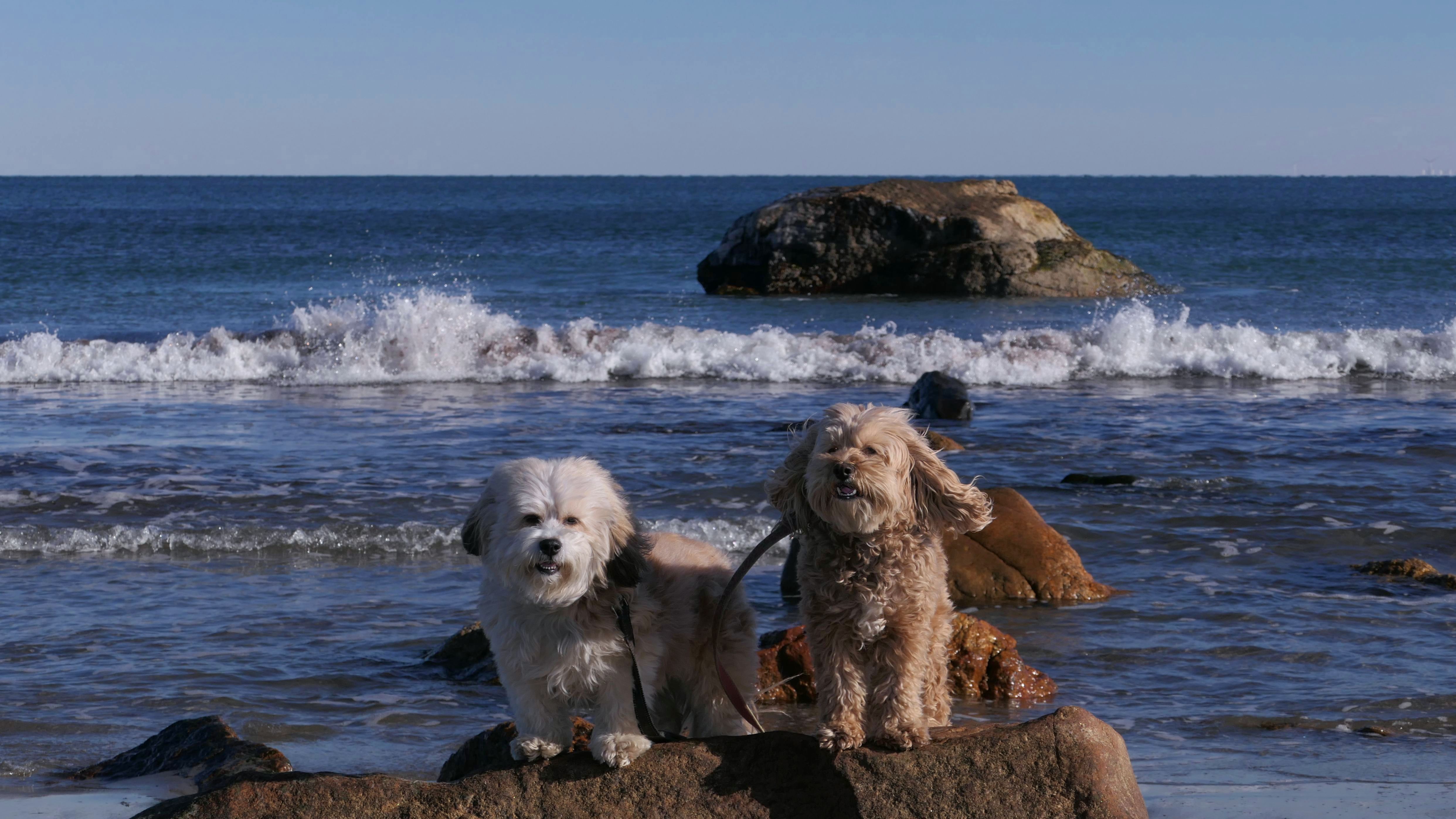
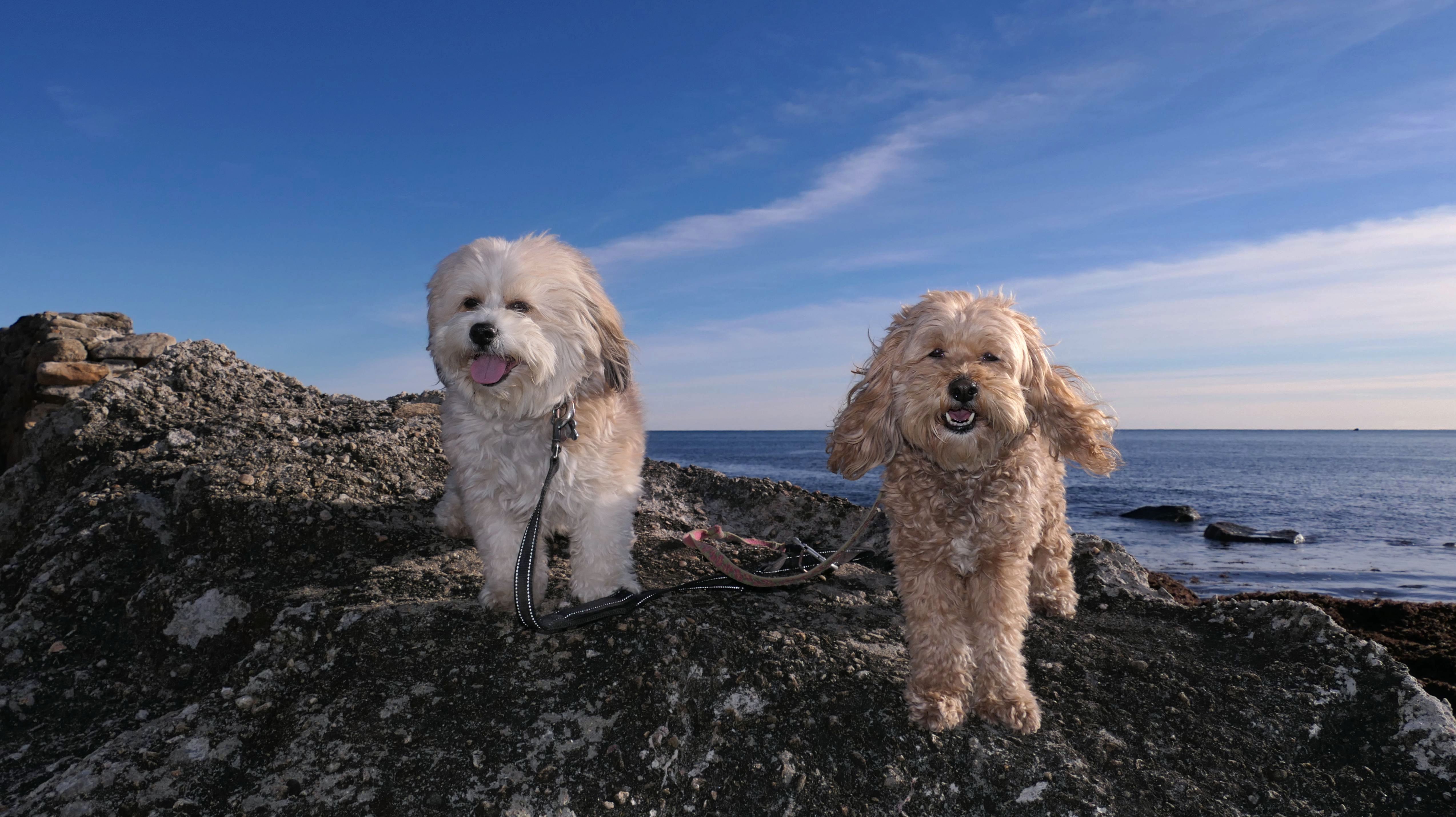
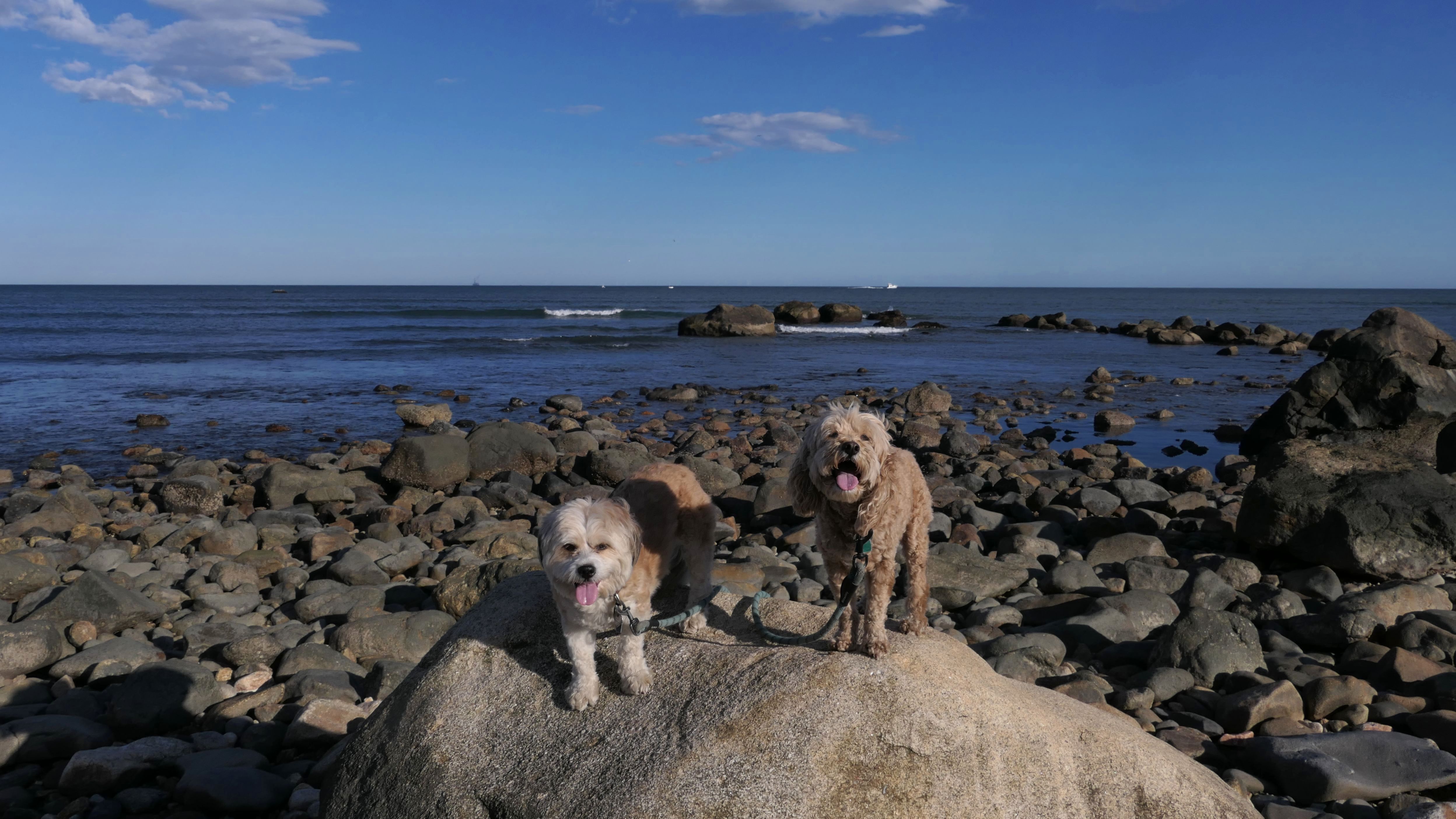
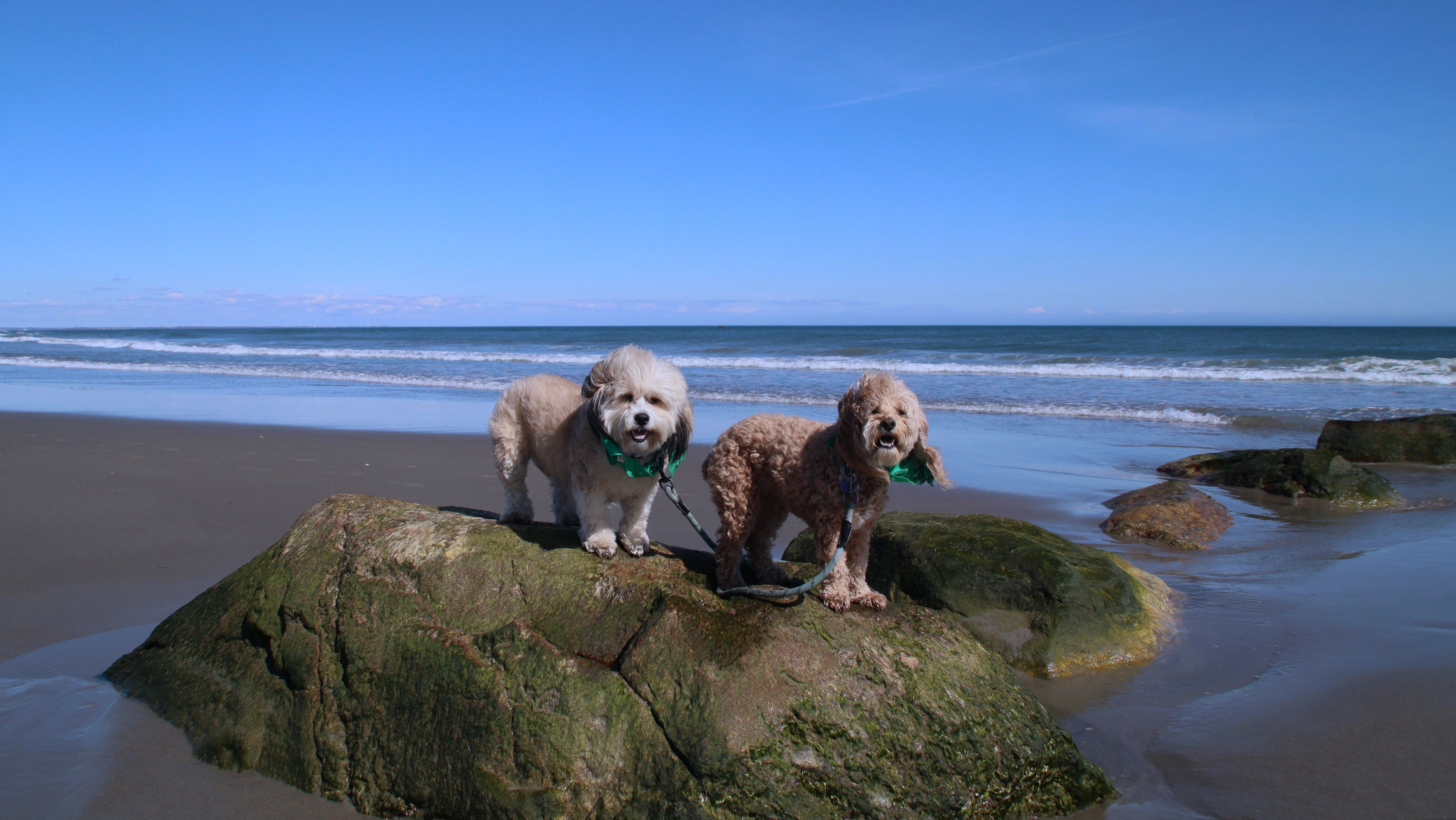
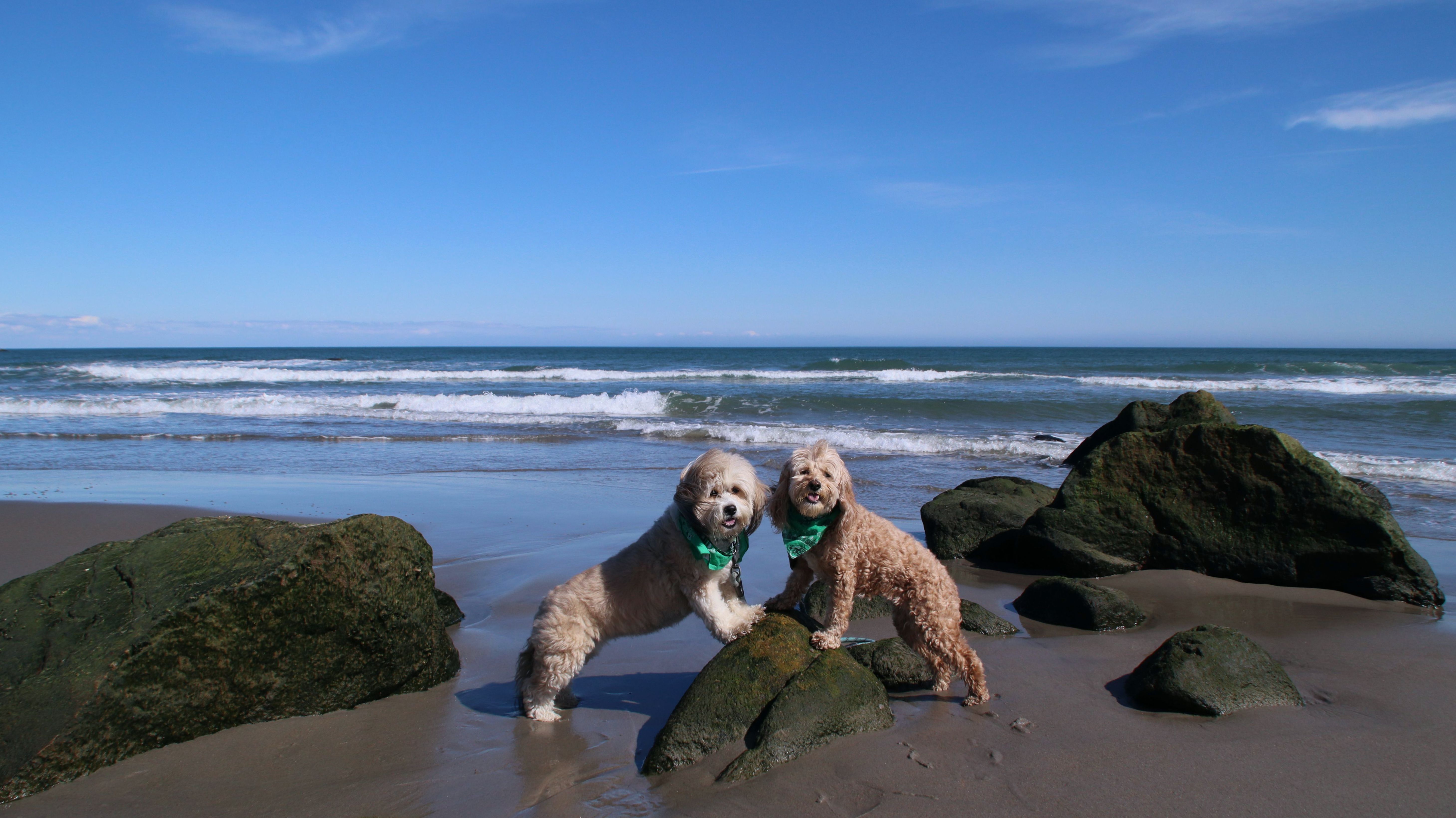
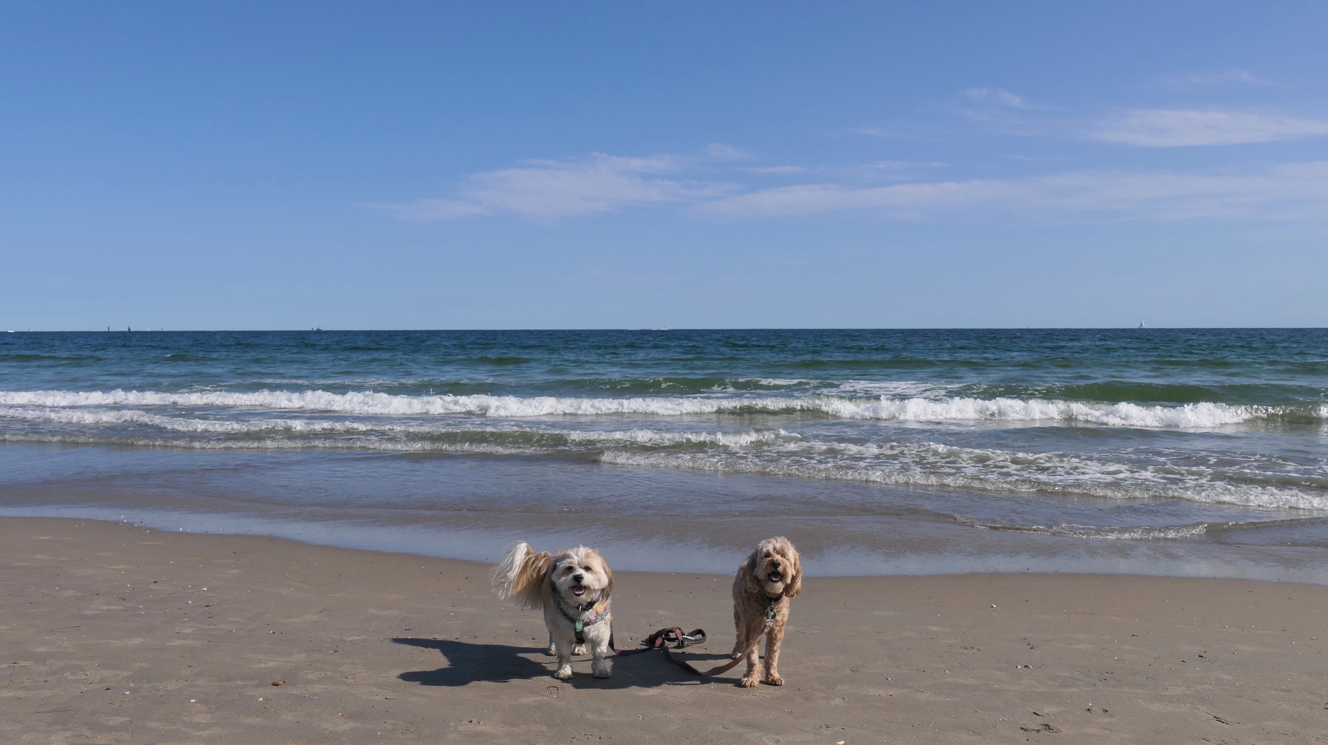
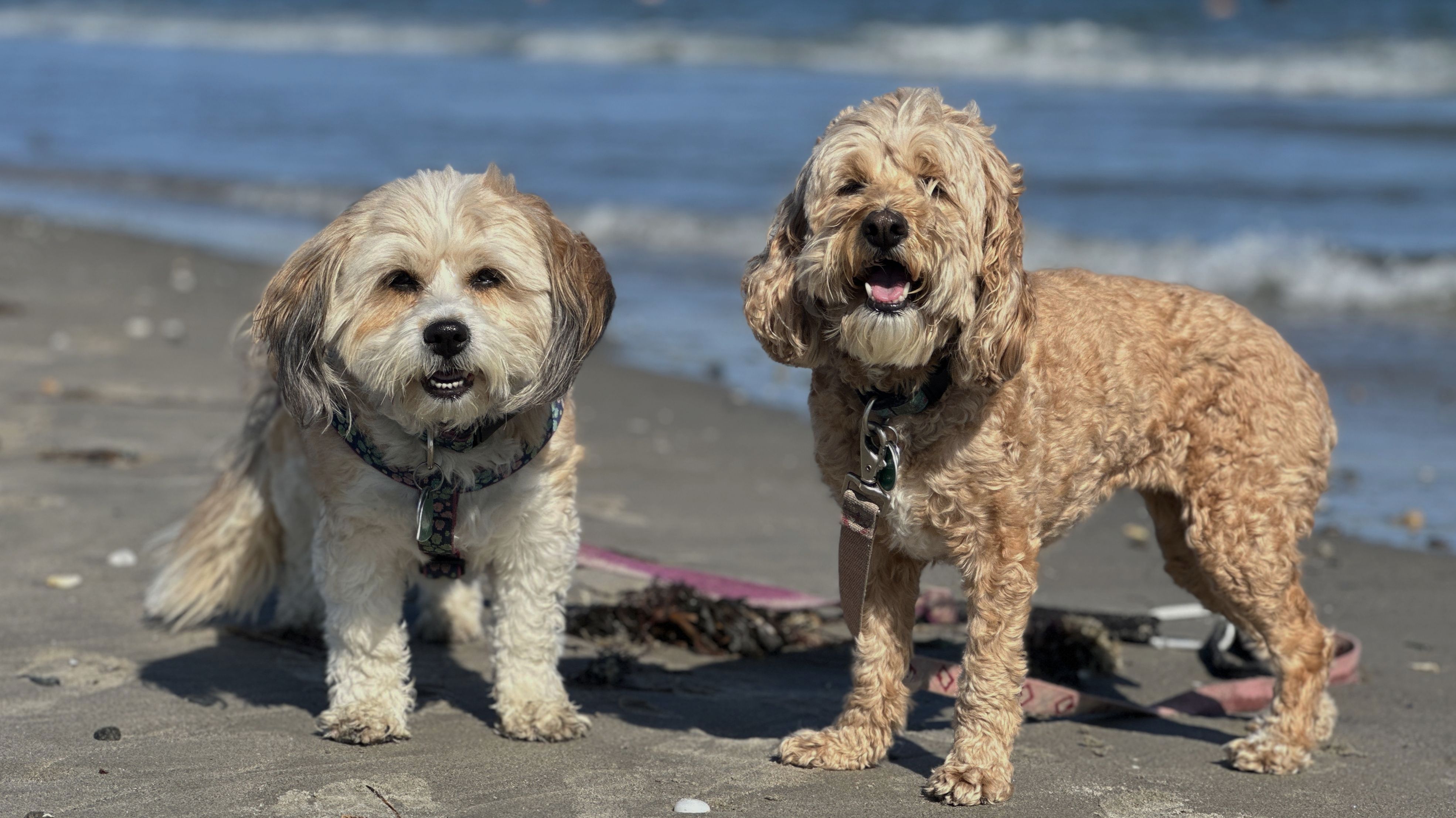
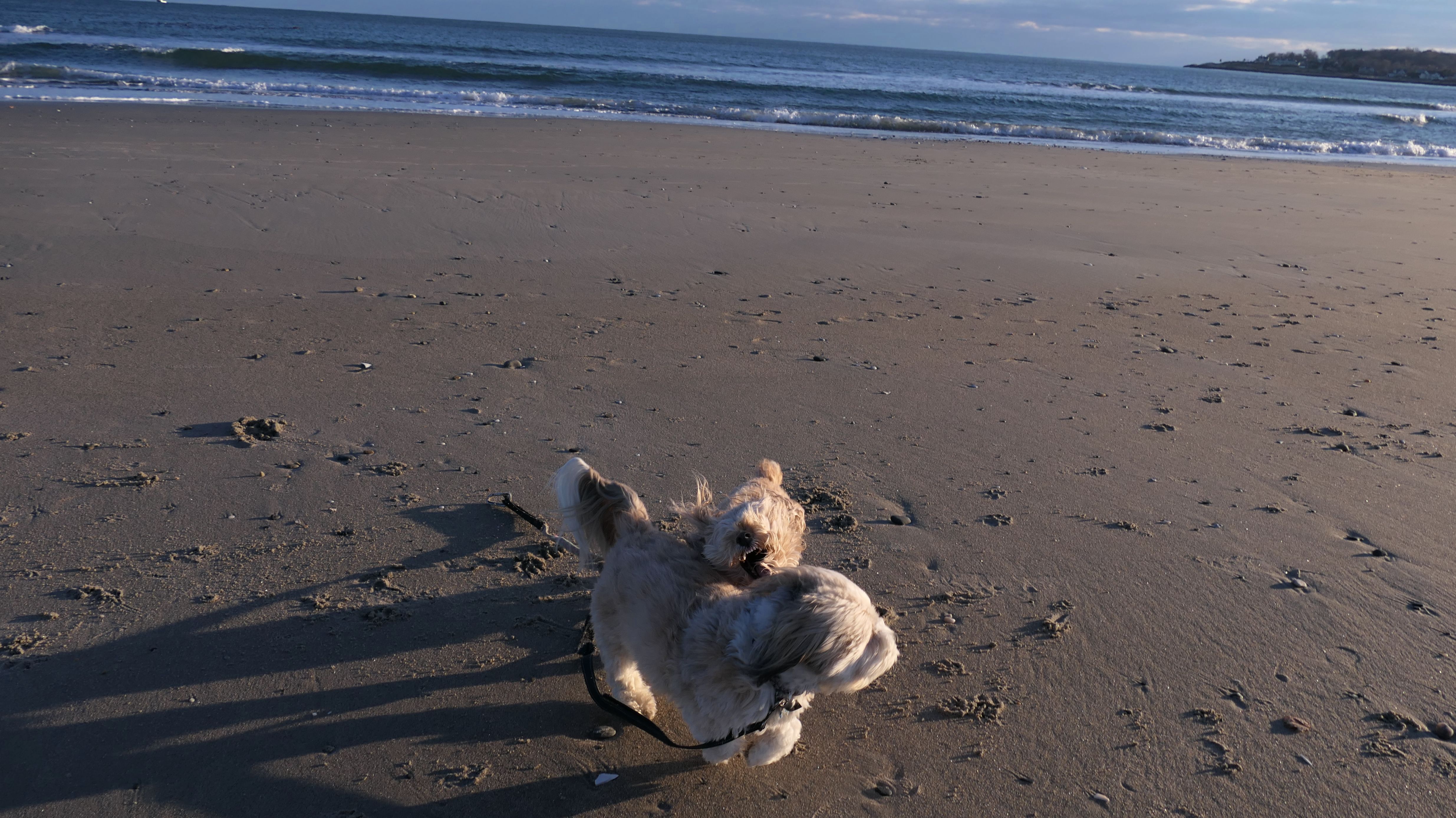
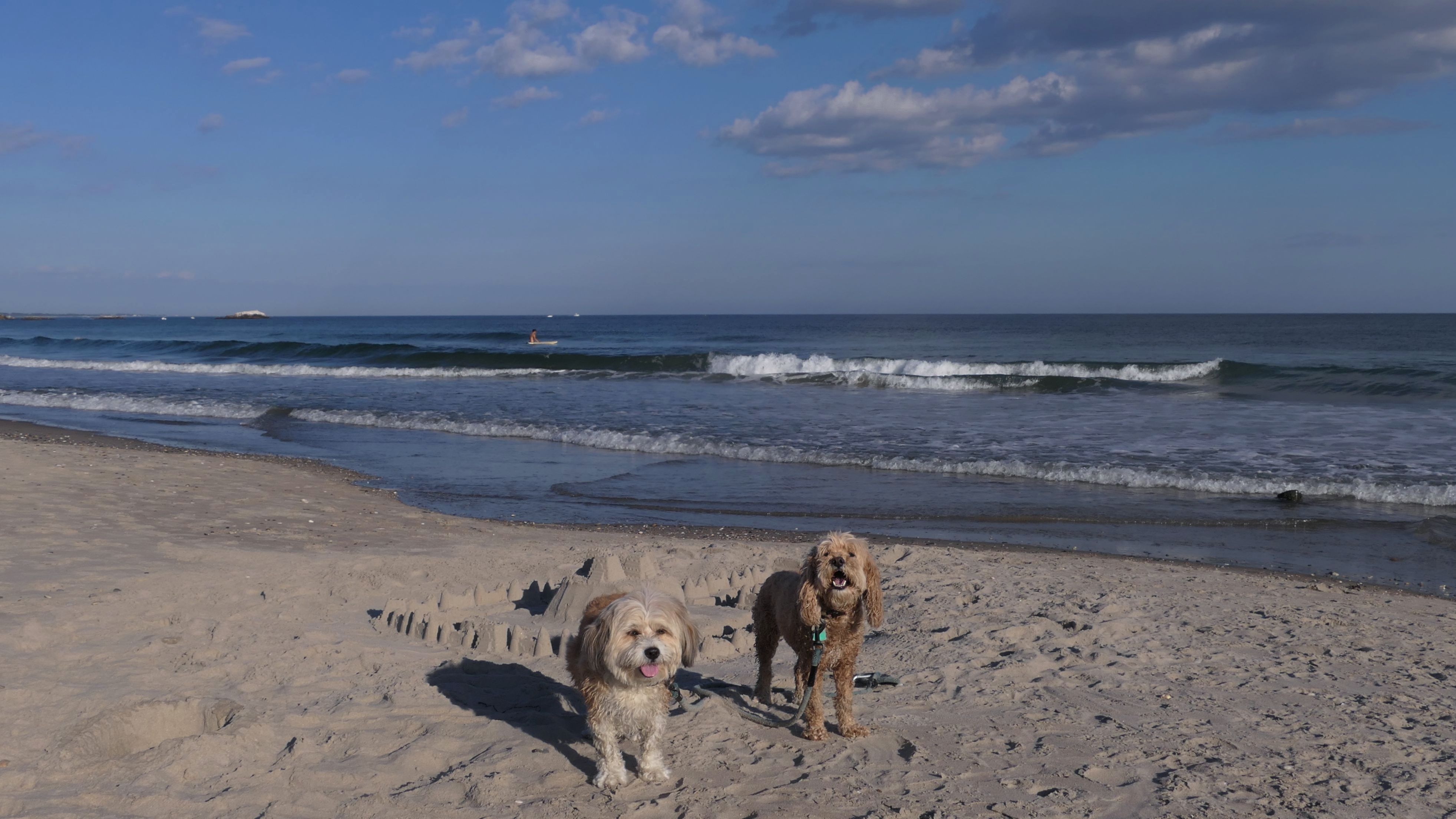
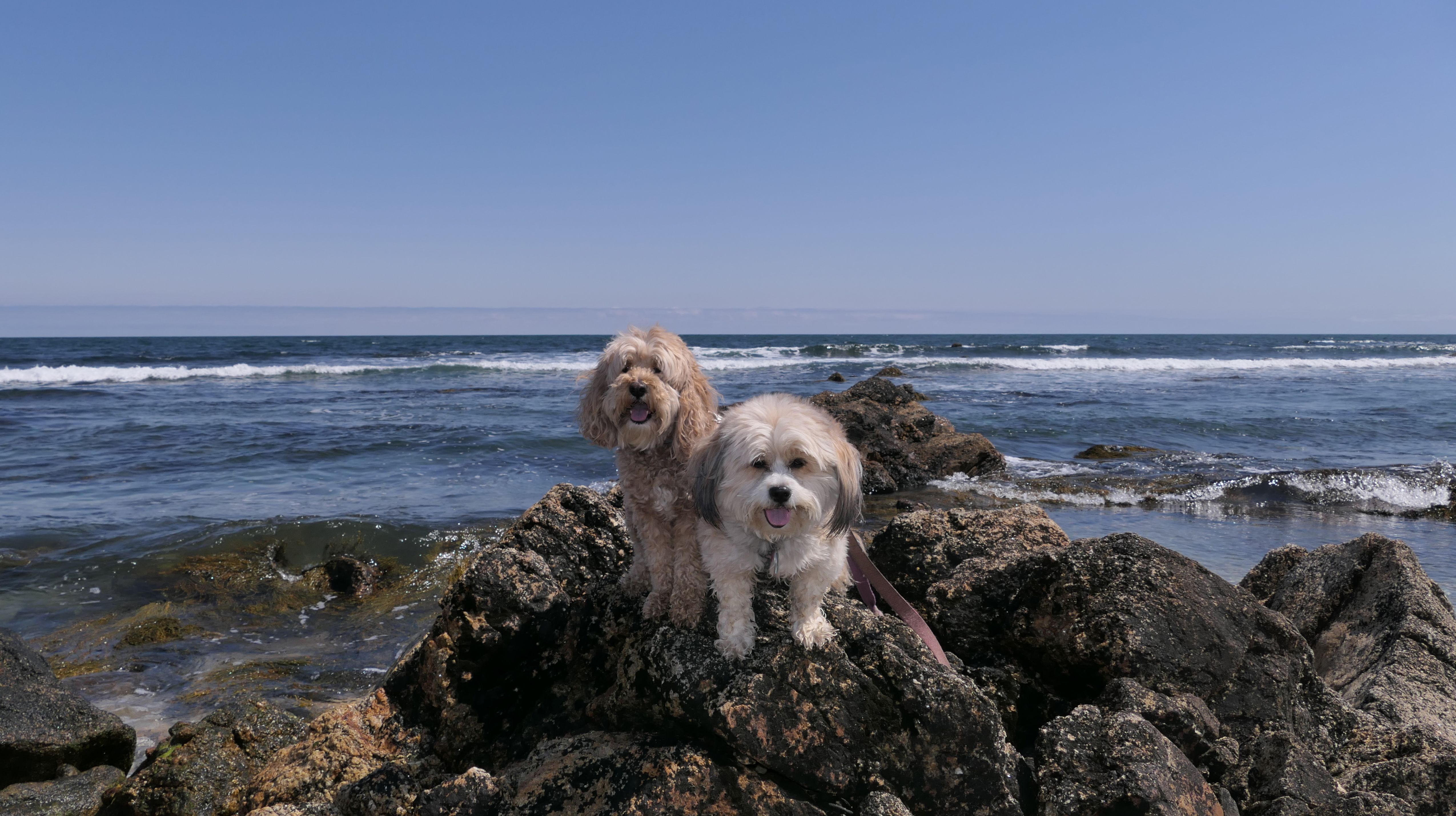
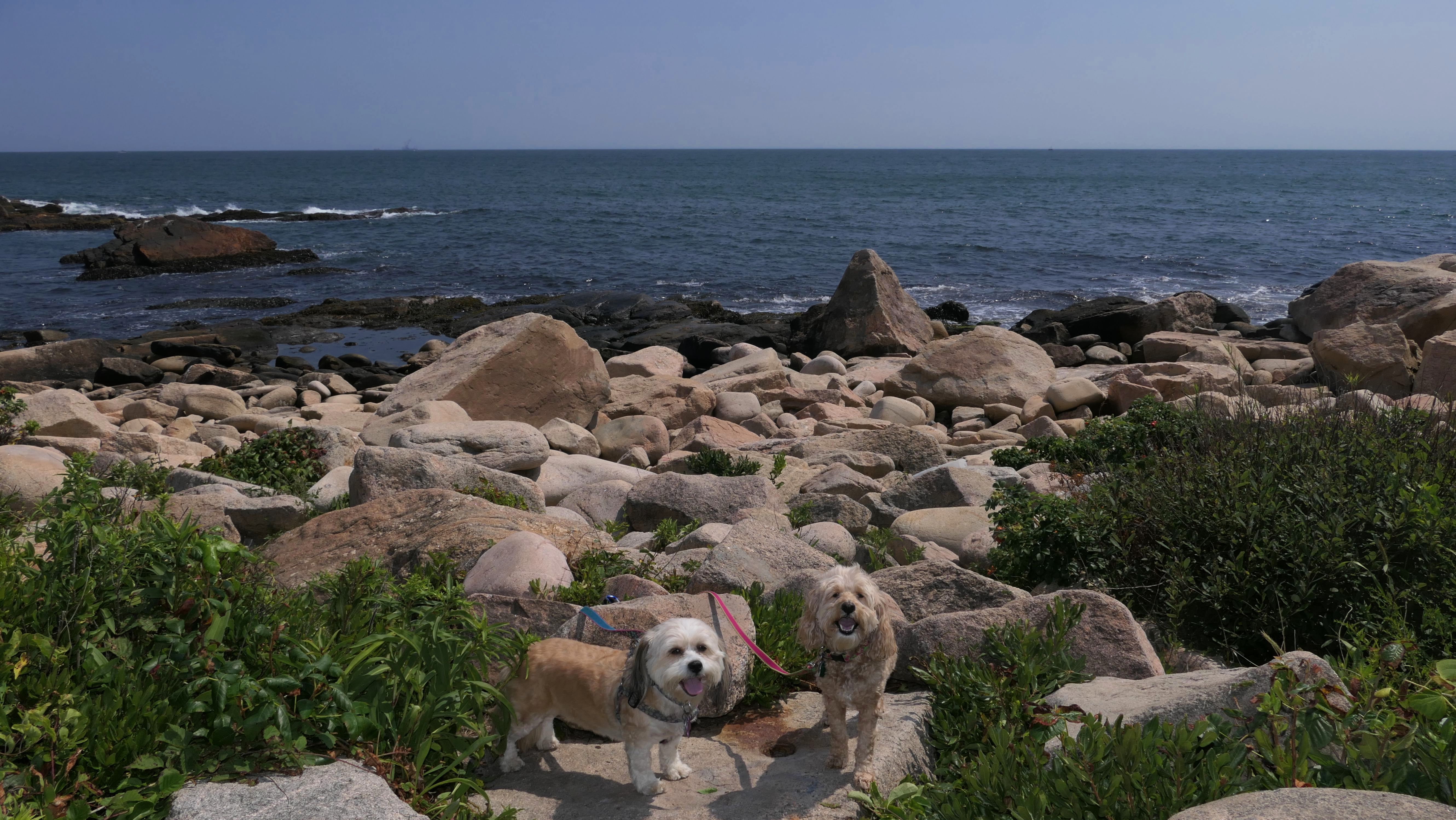
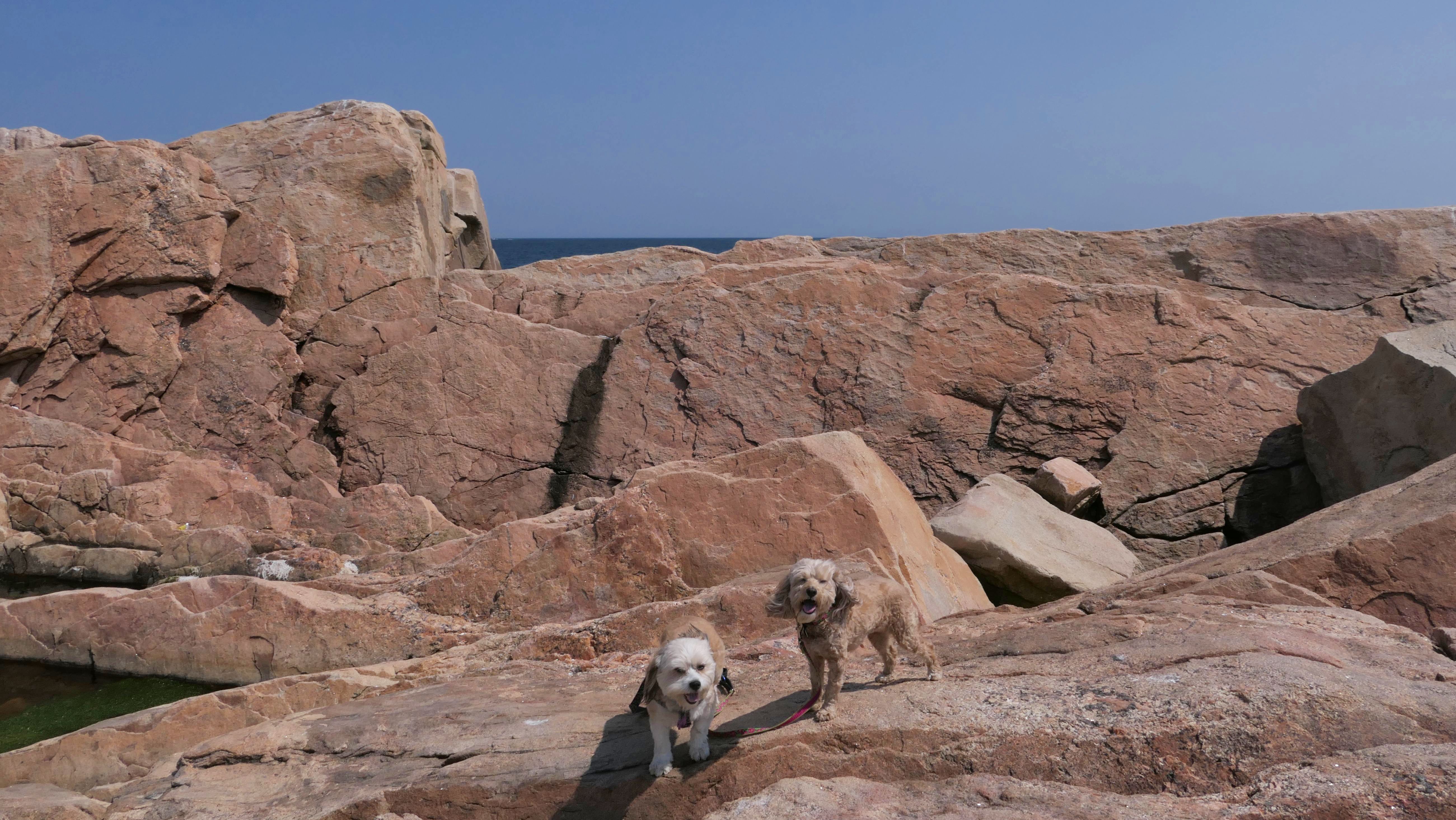
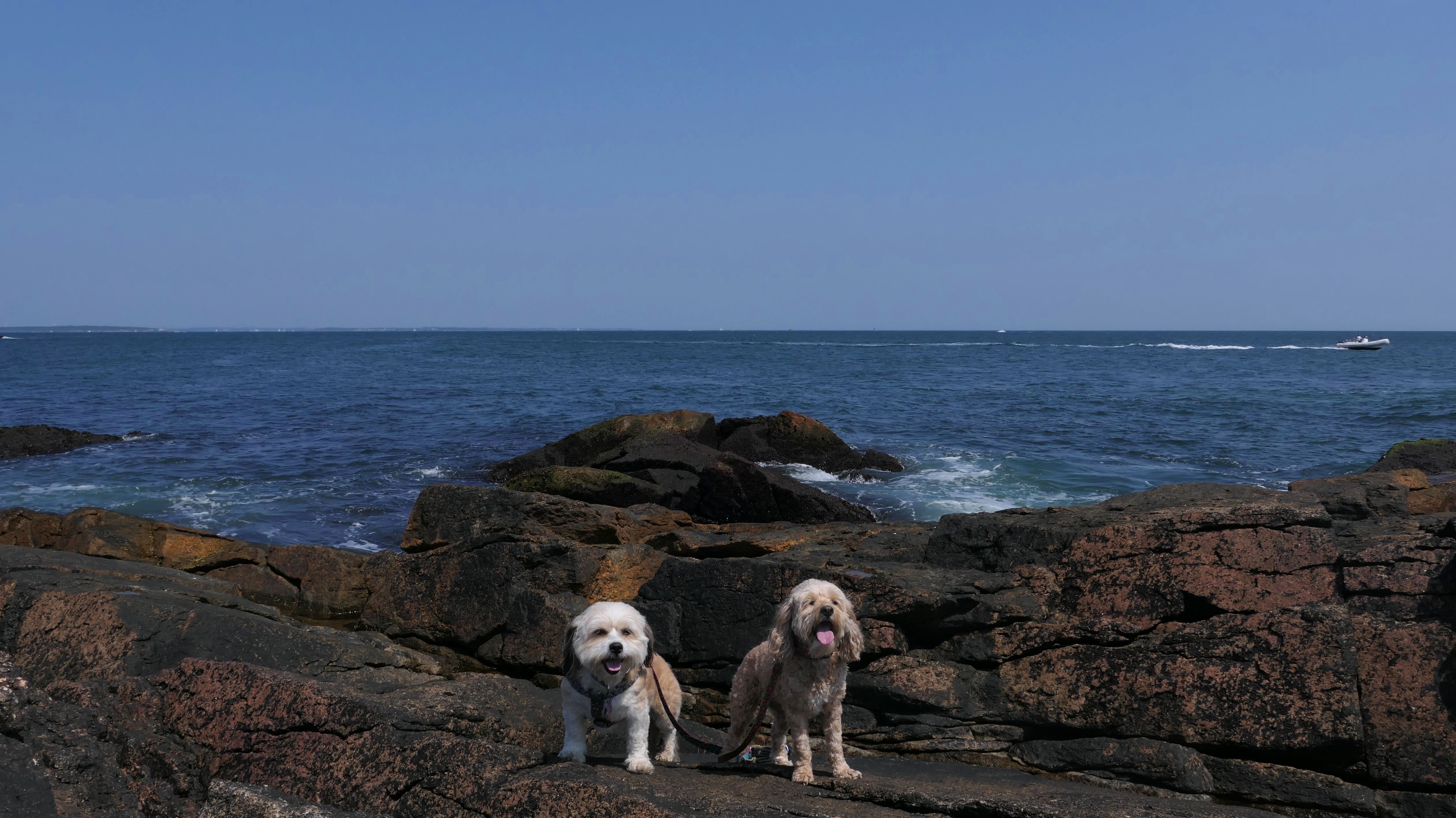
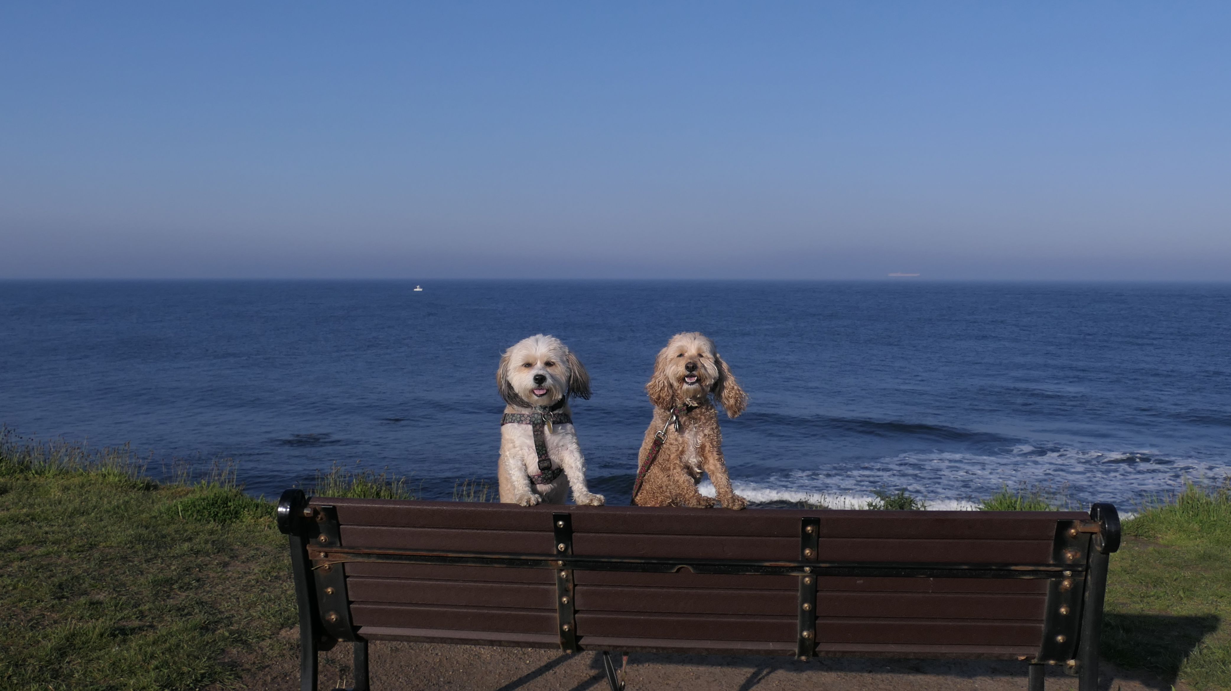
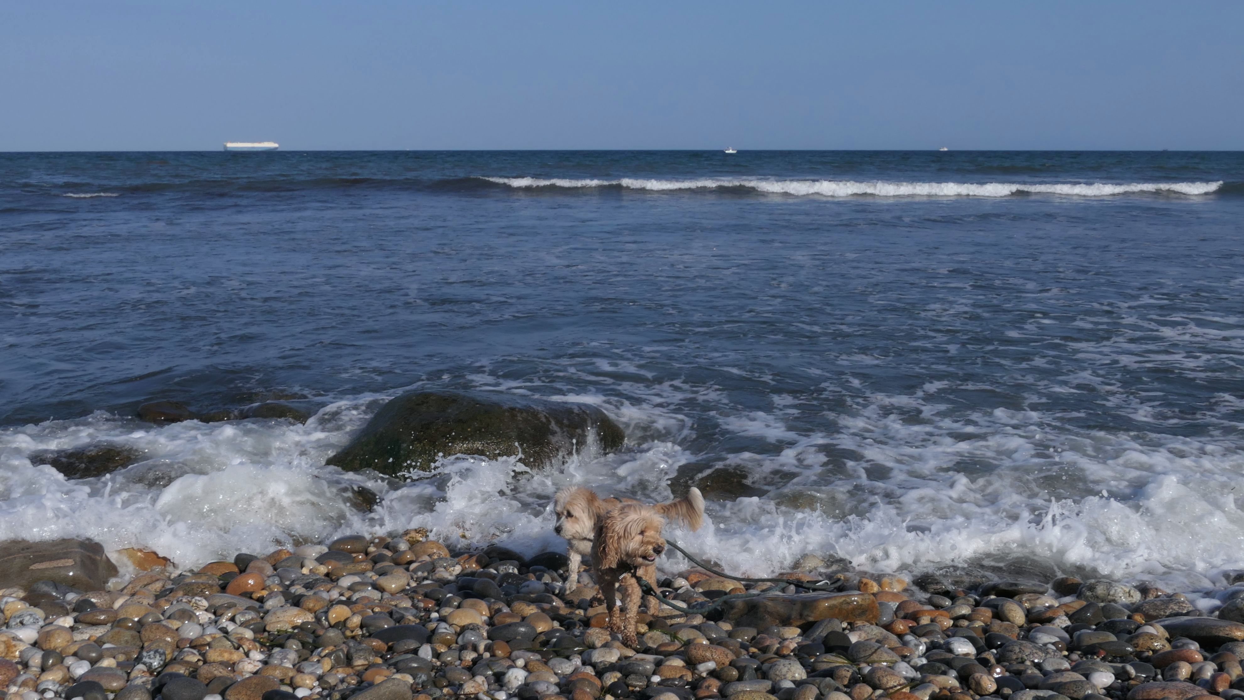
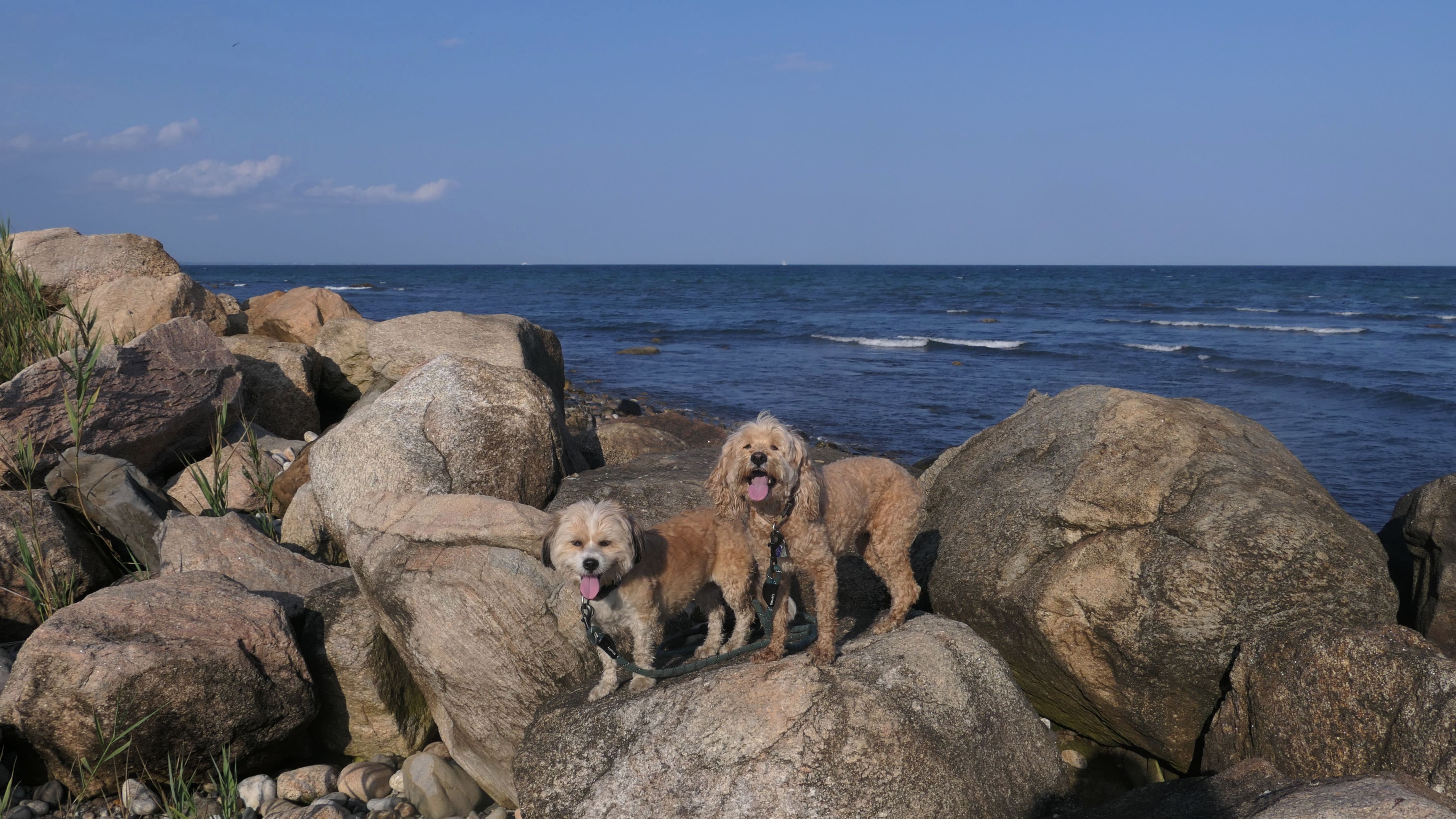
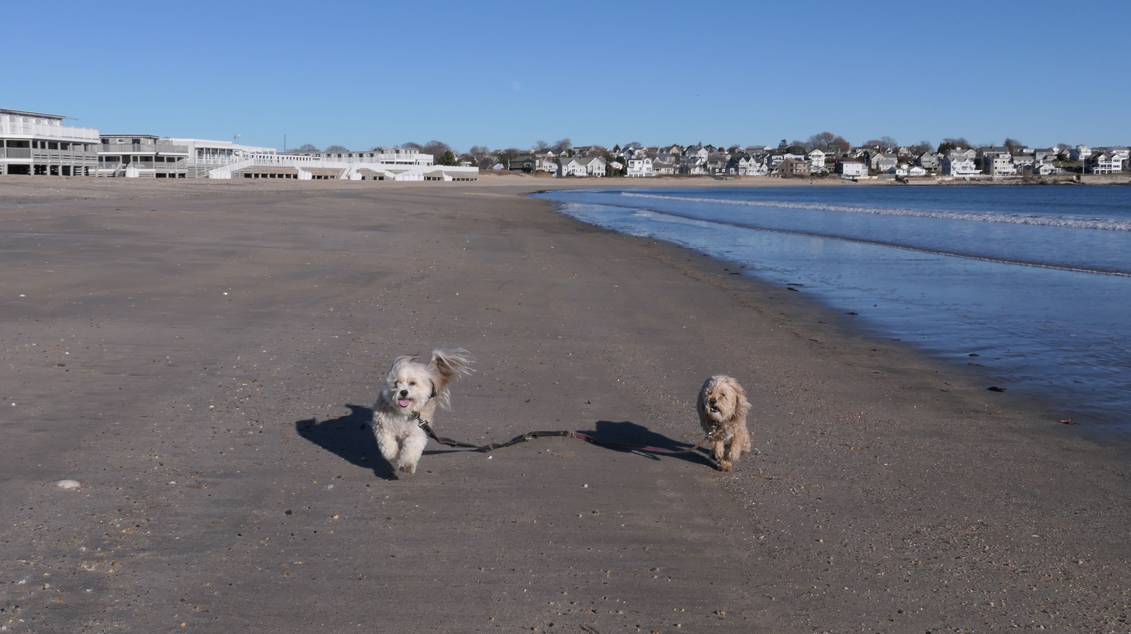
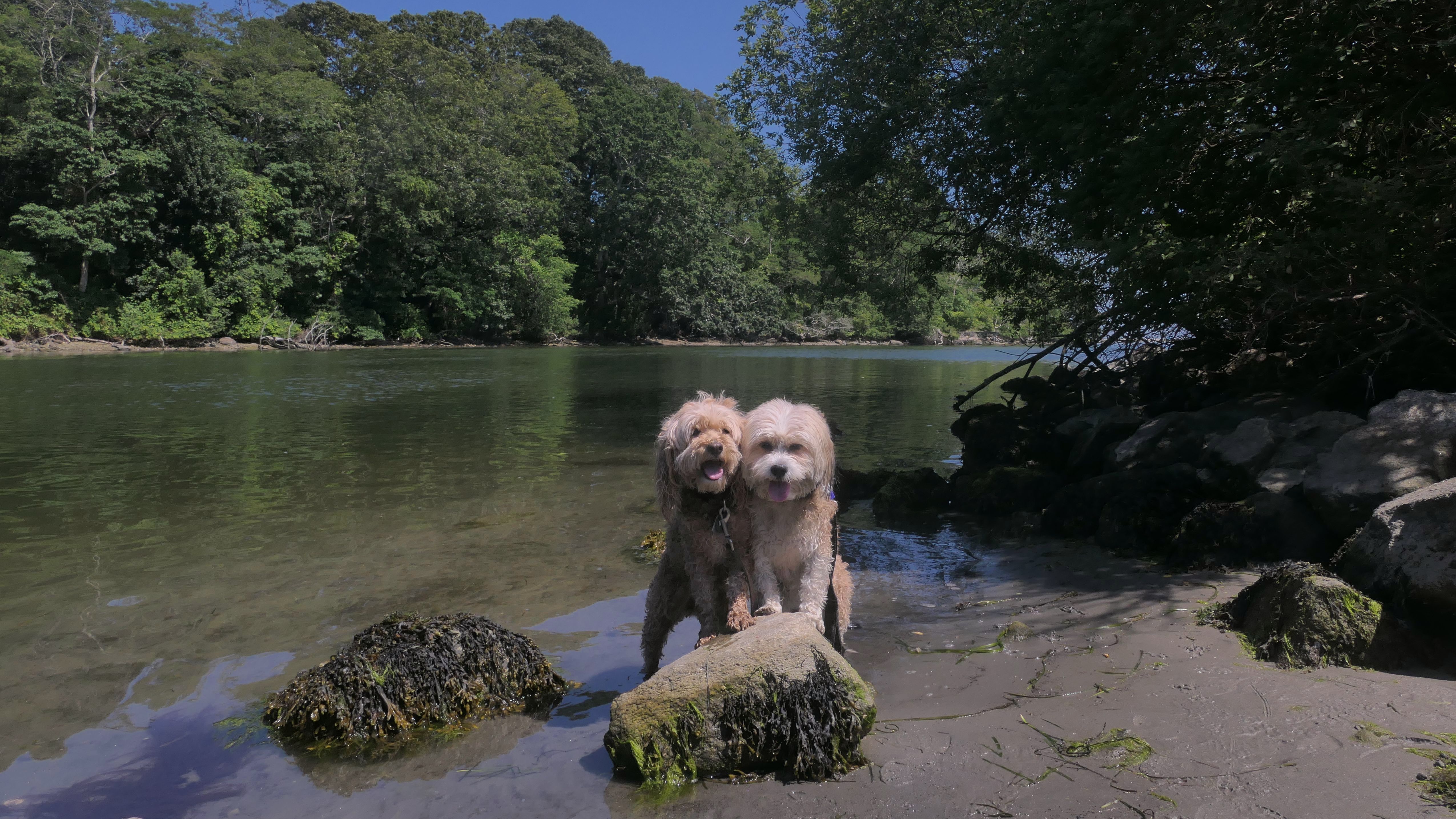
This is really one of my favorite spots in Rhode Island. We hiked the entire trail once again, but only took pictures from the rocky area. The waves were really ripping on this day. I love the action shots of the waves hitting the rocks. We actually headed north at first, climbing on rocks that we hadn't tackled before. We got as far as we could, about a third of a mile, before Mandy and Lexi decided the terrain was too much. At that point we continued along the more accessible rocks, and returned via the trail, hiking about 2 miles total here. This spot is so beautiful! I'm really happy with the pictures from this trip. They might be the best ones of the year so far!
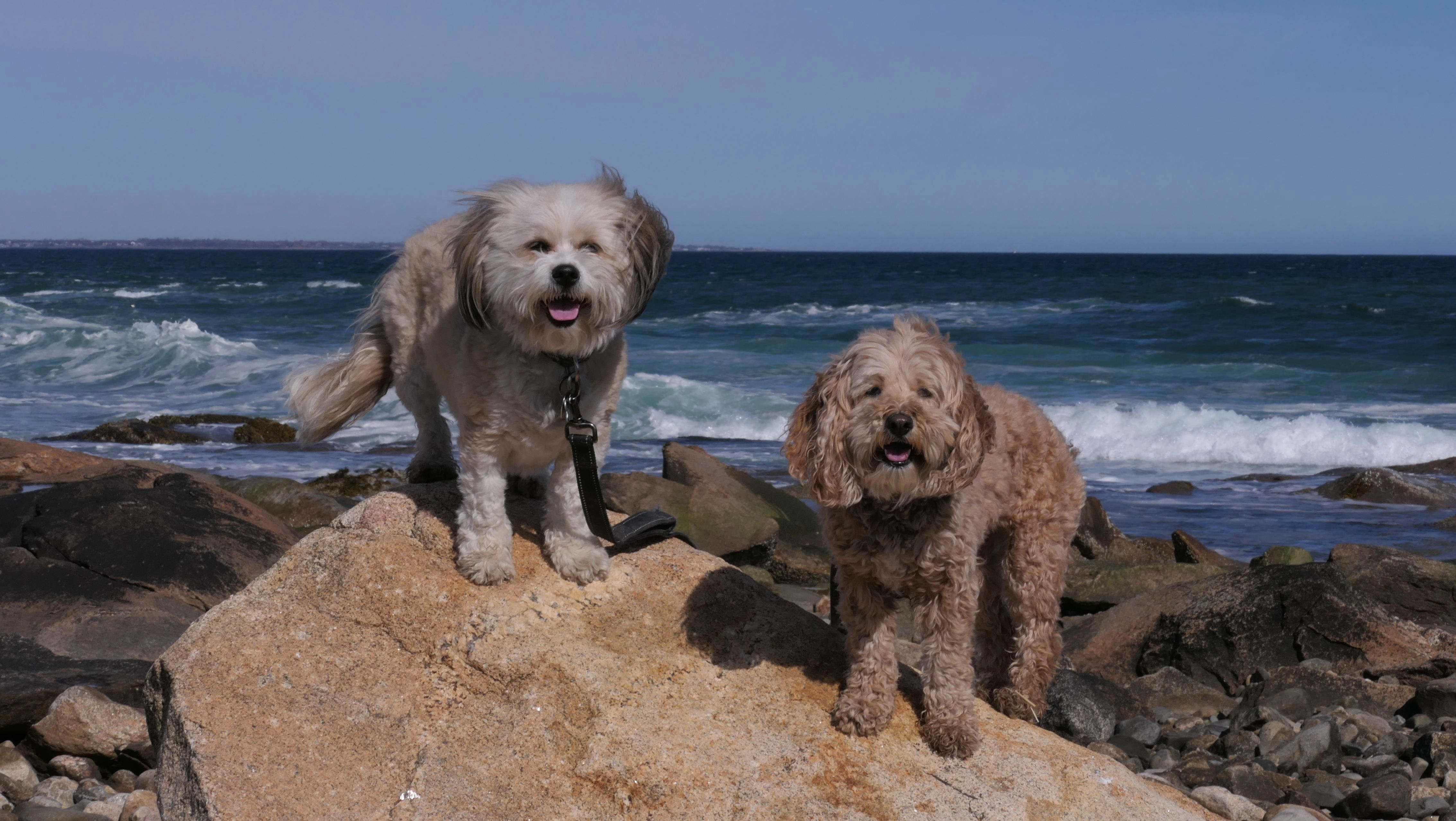
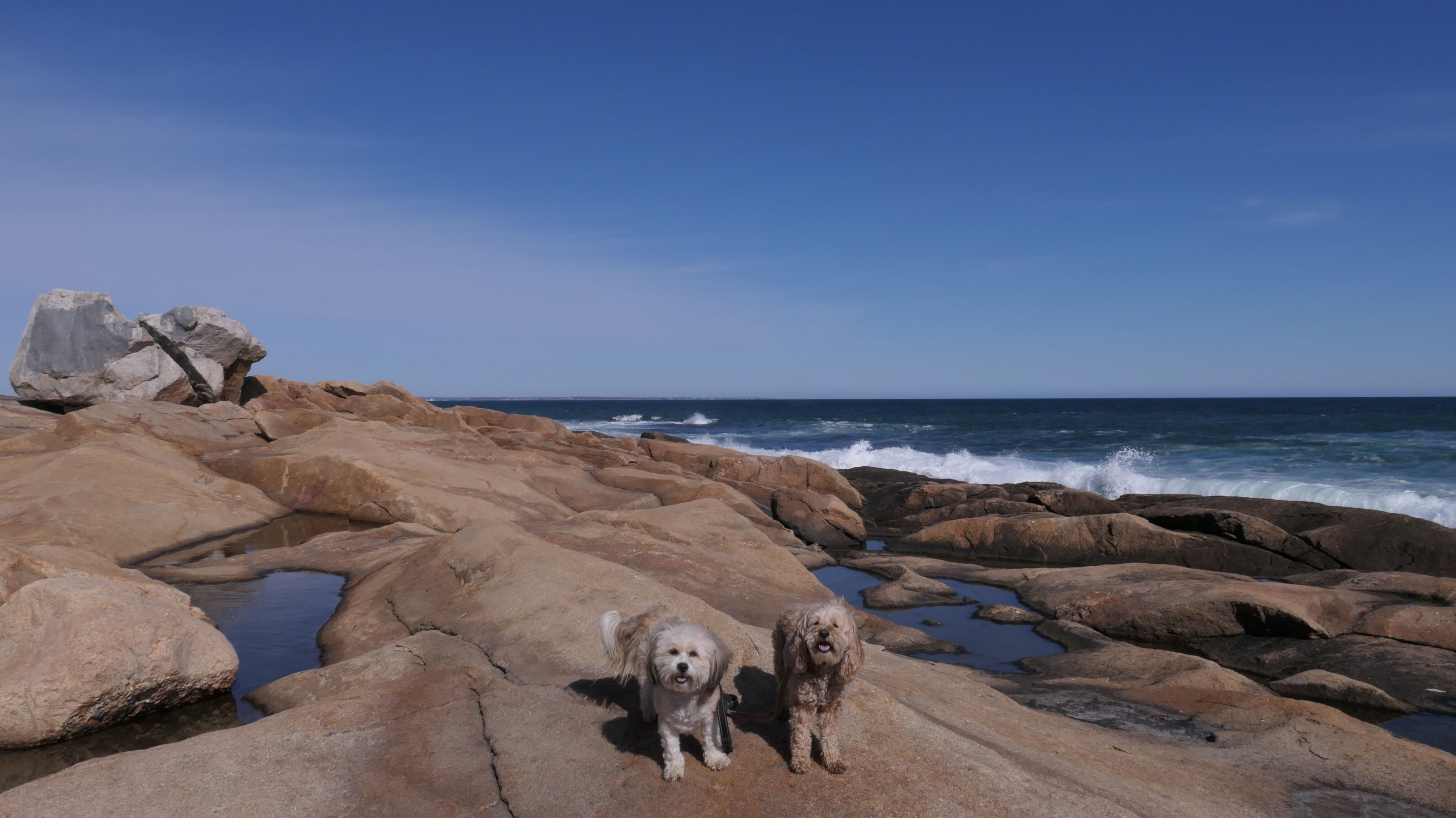
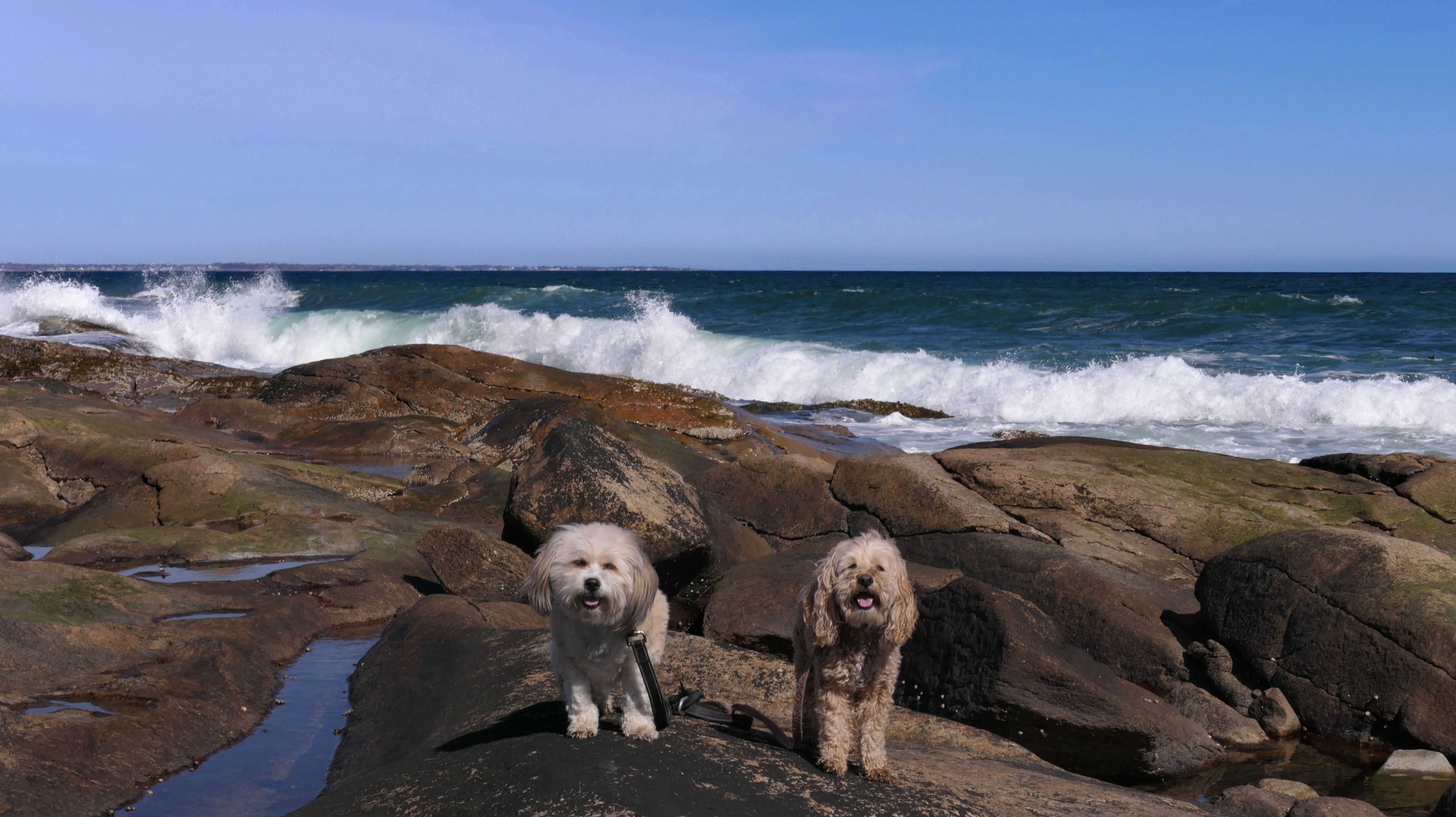
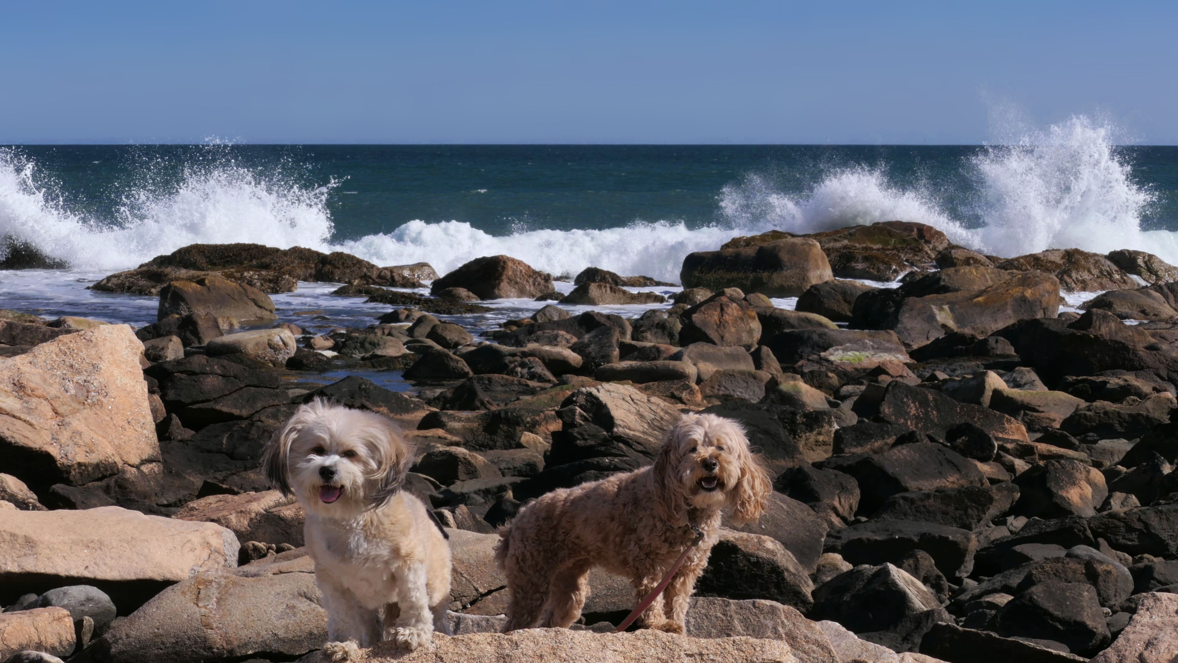
More Images
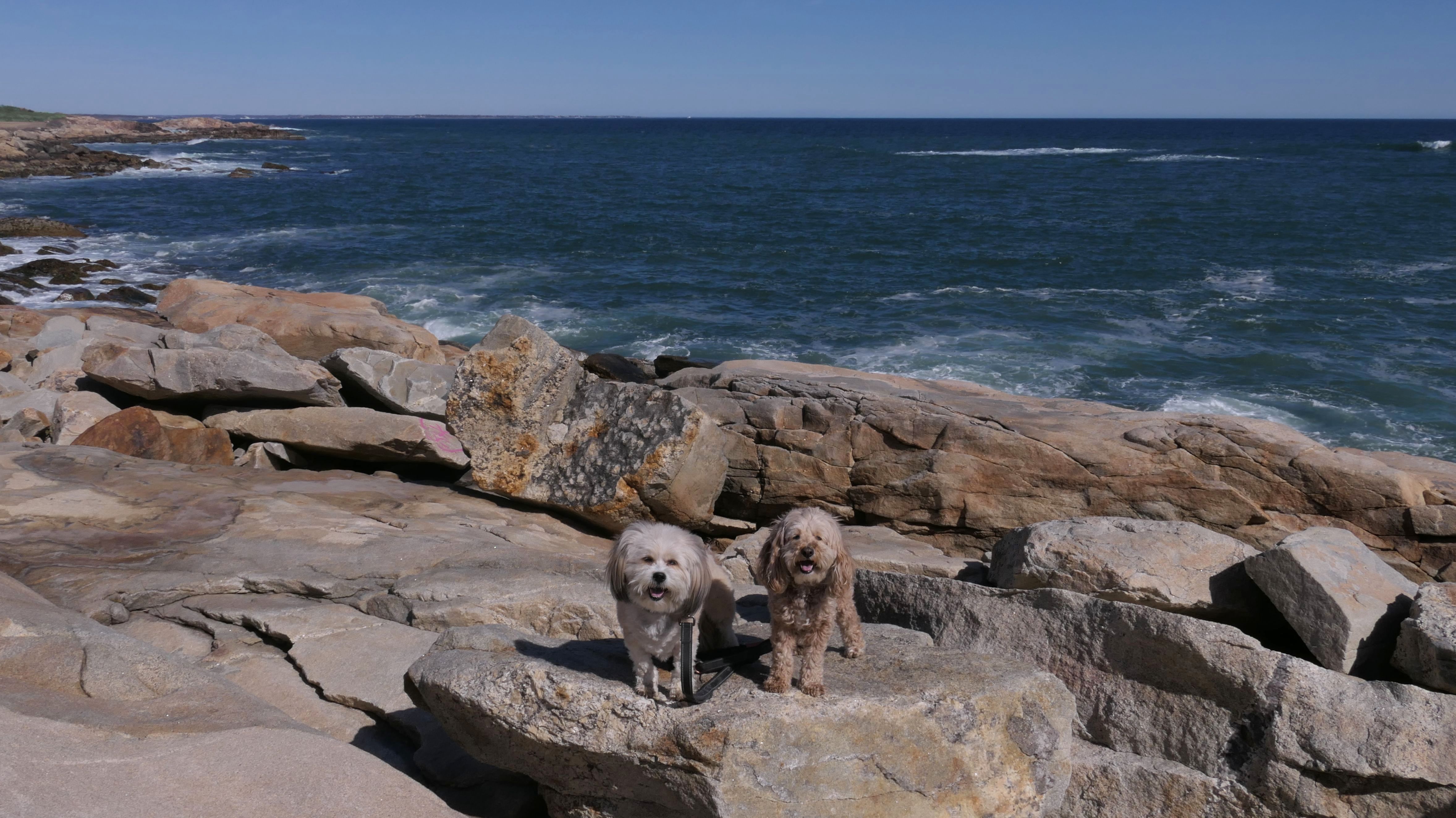
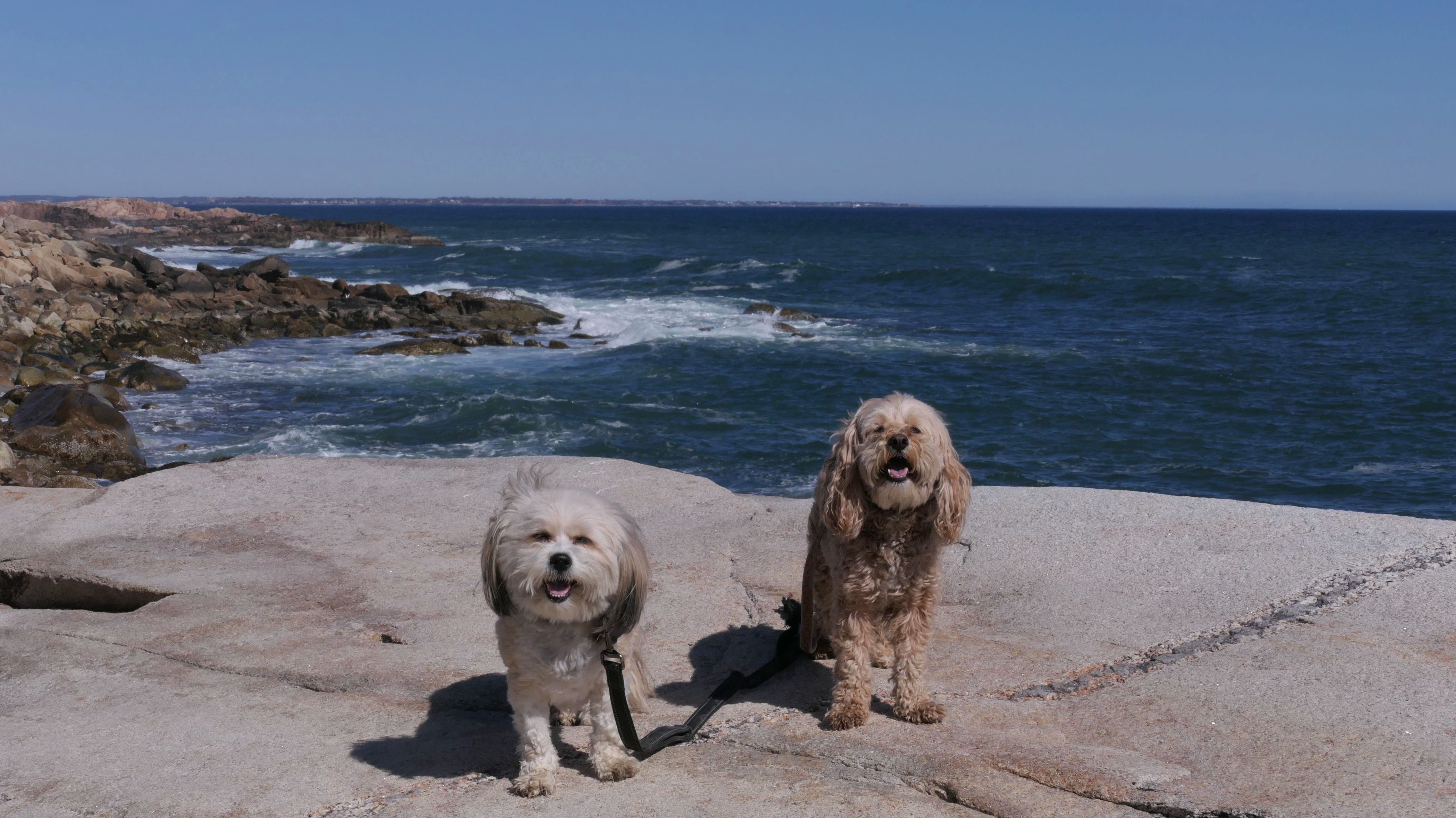
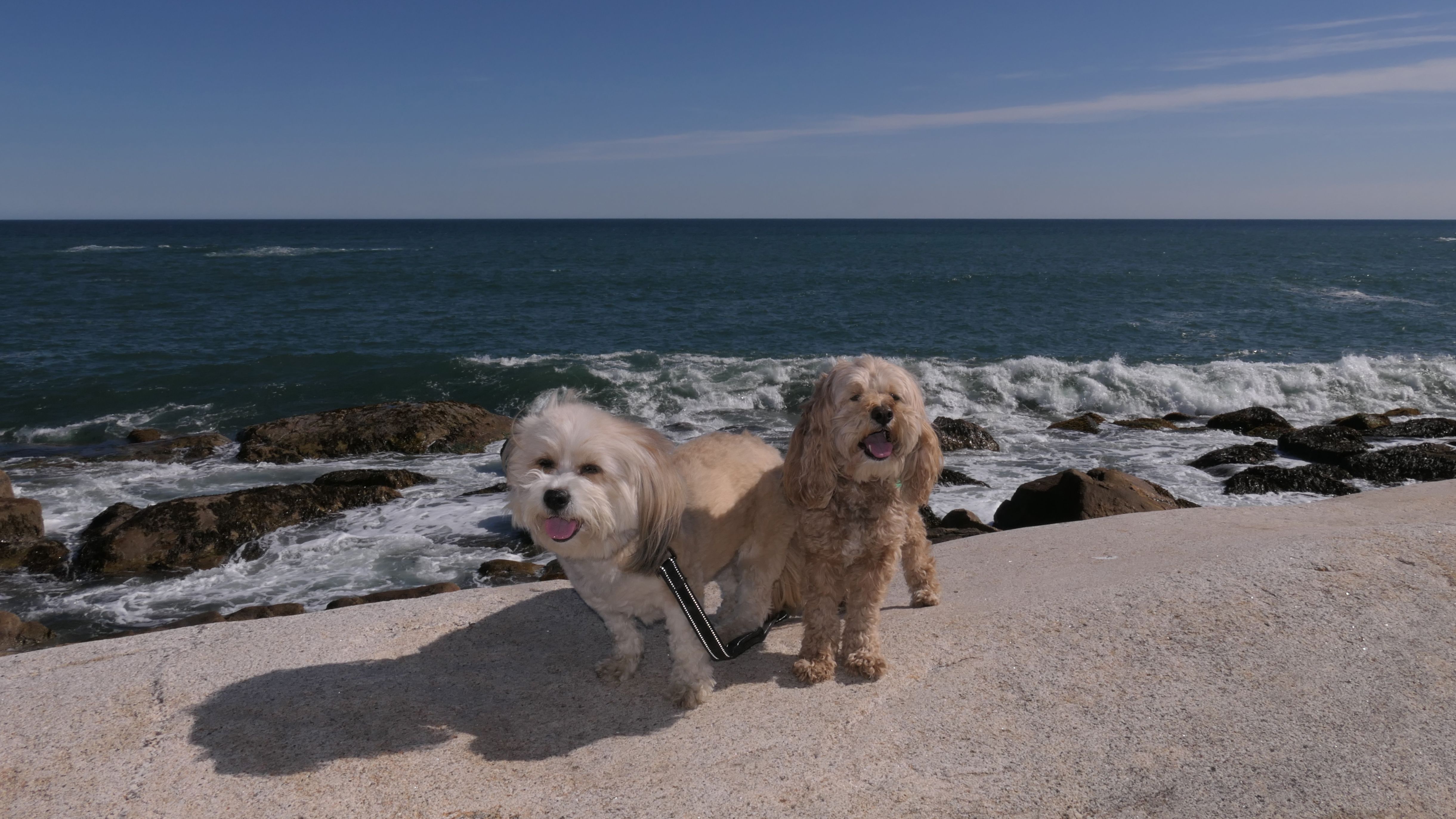
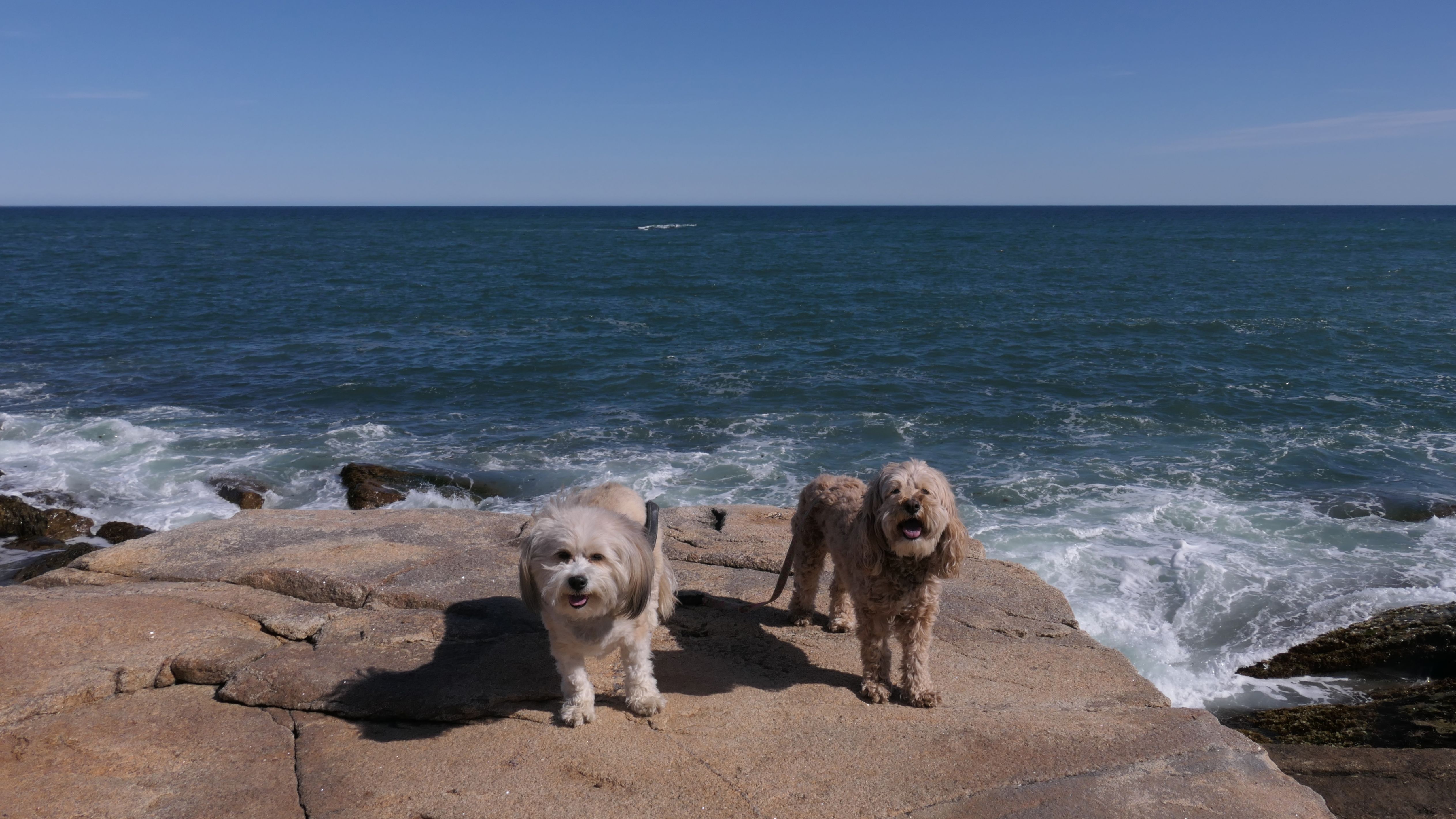
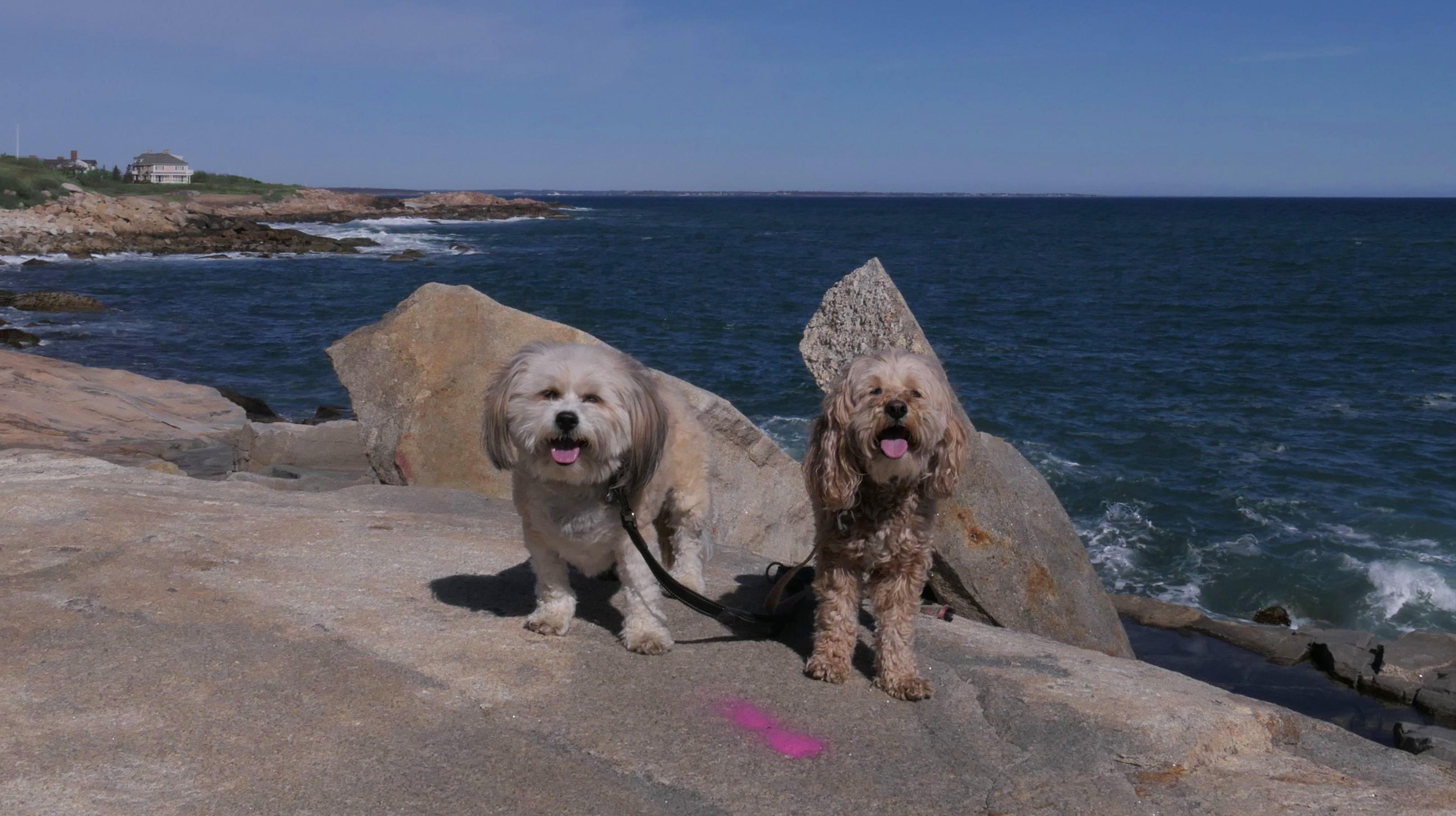
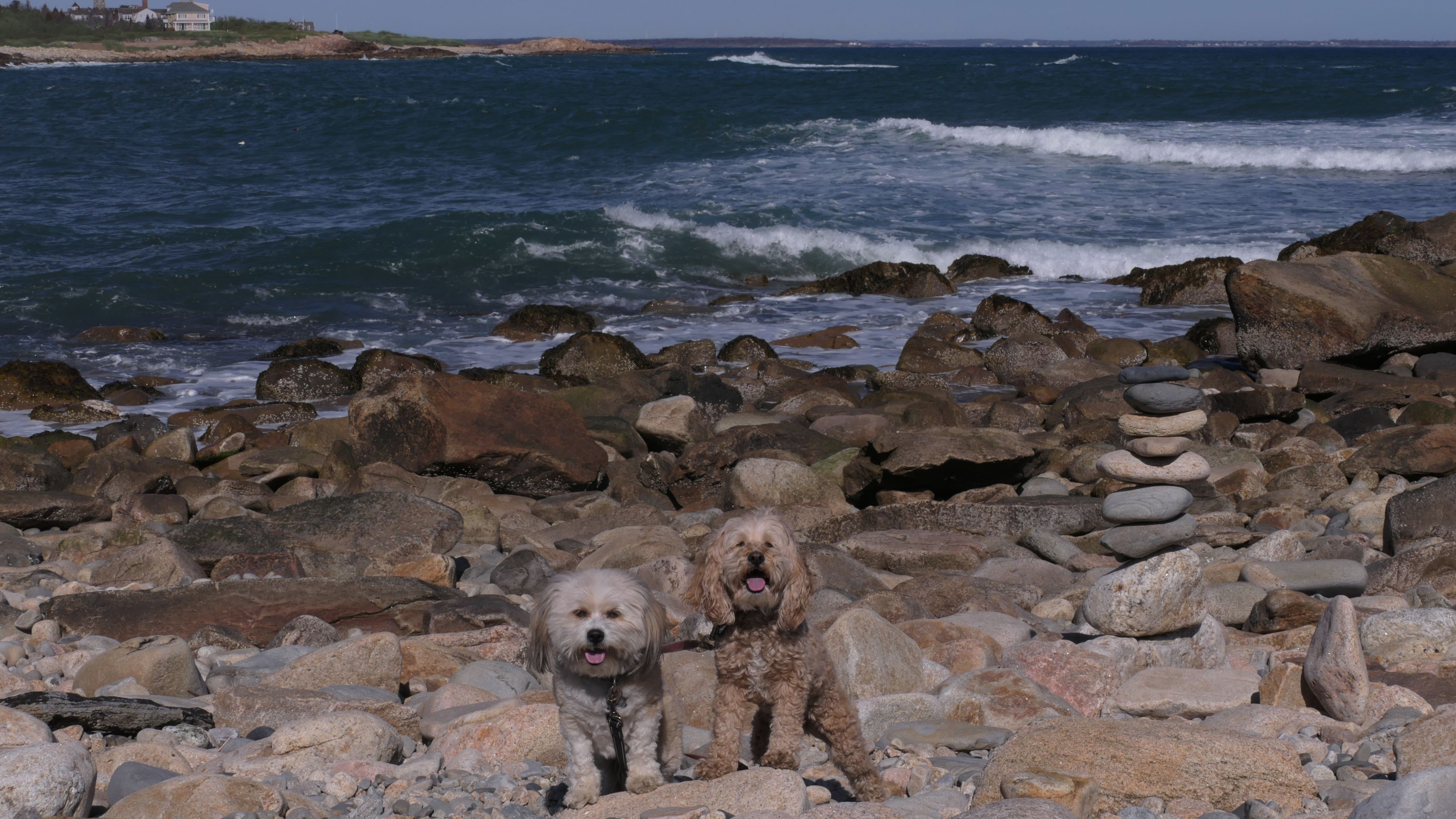
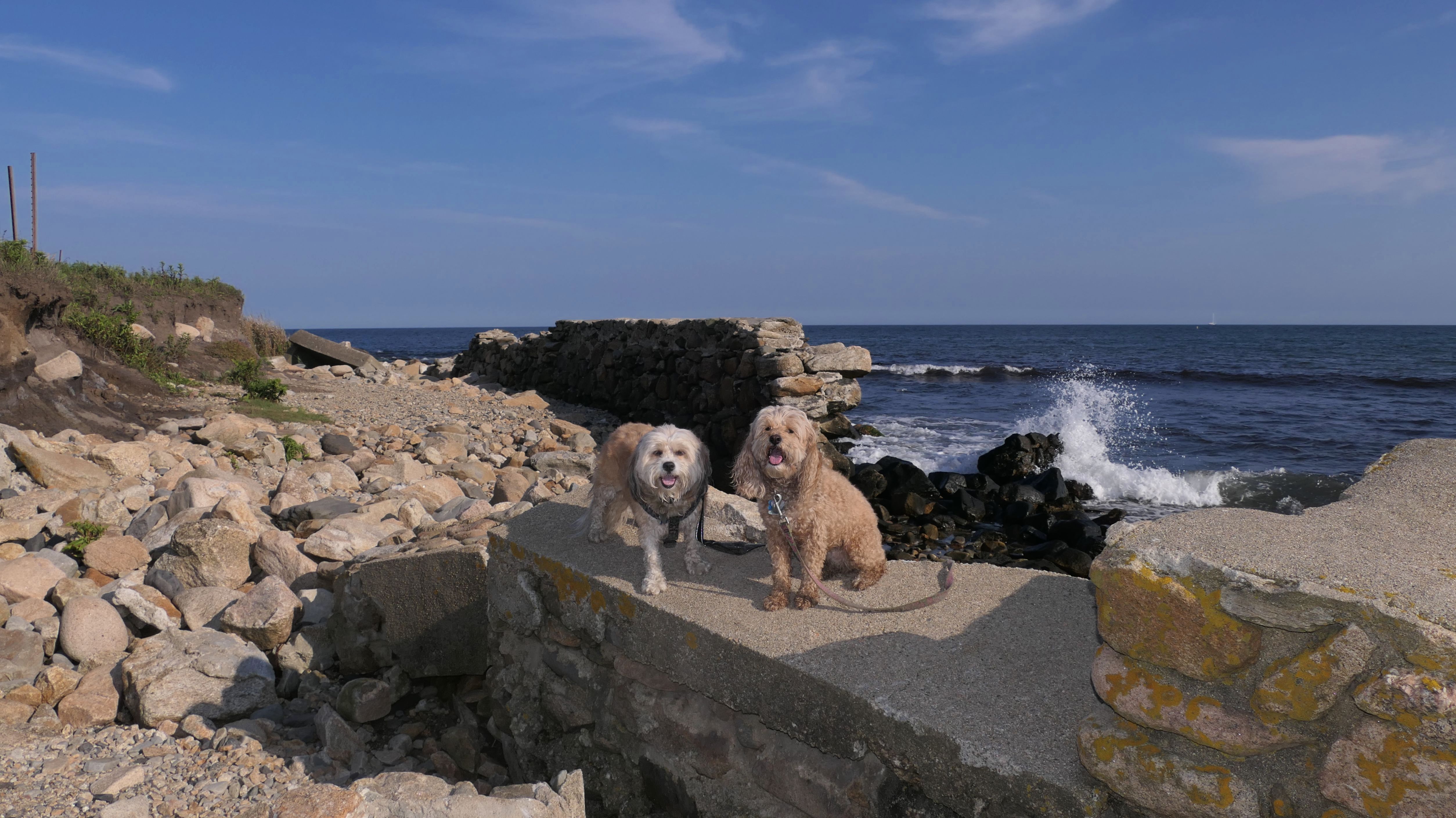
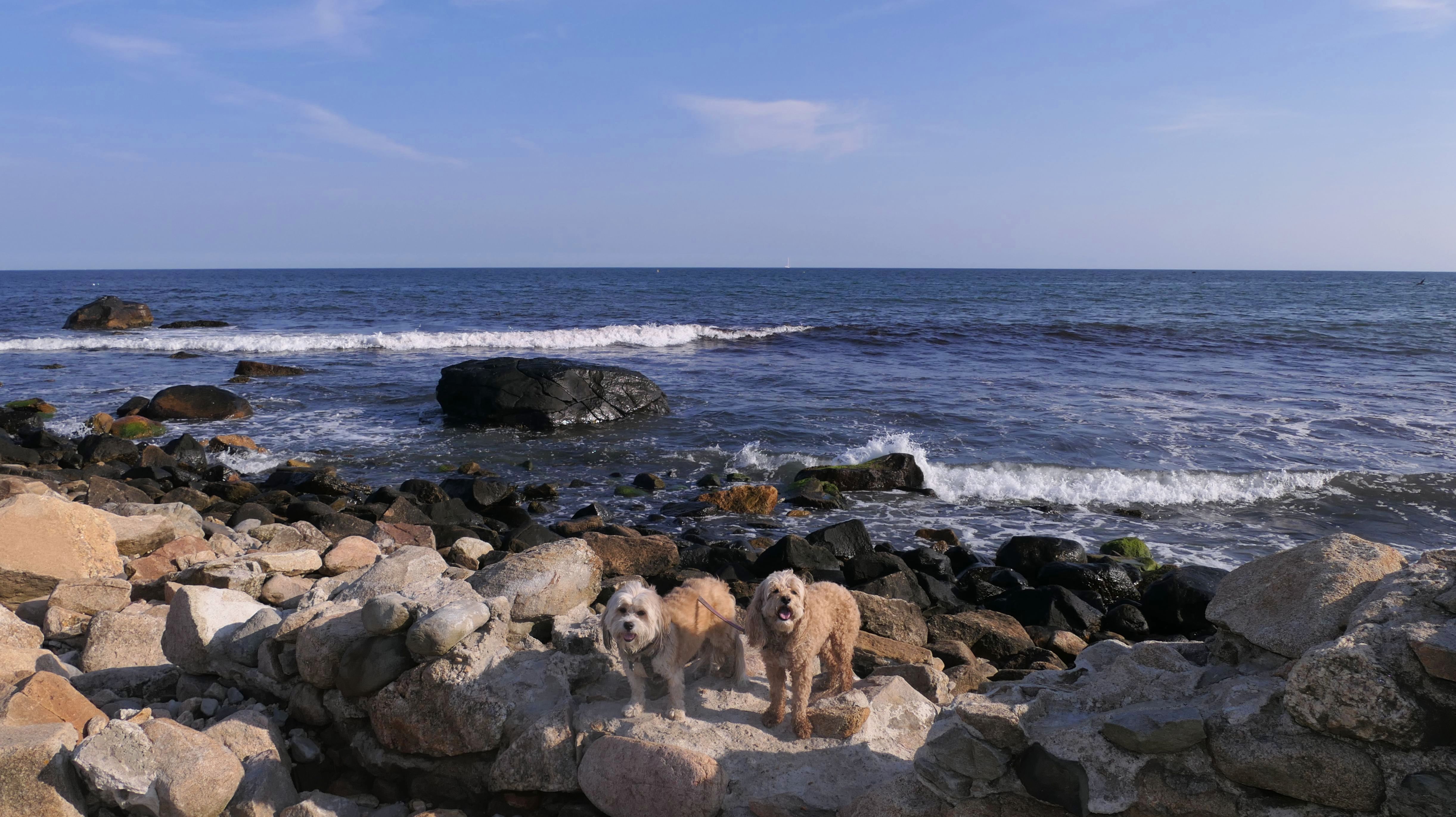
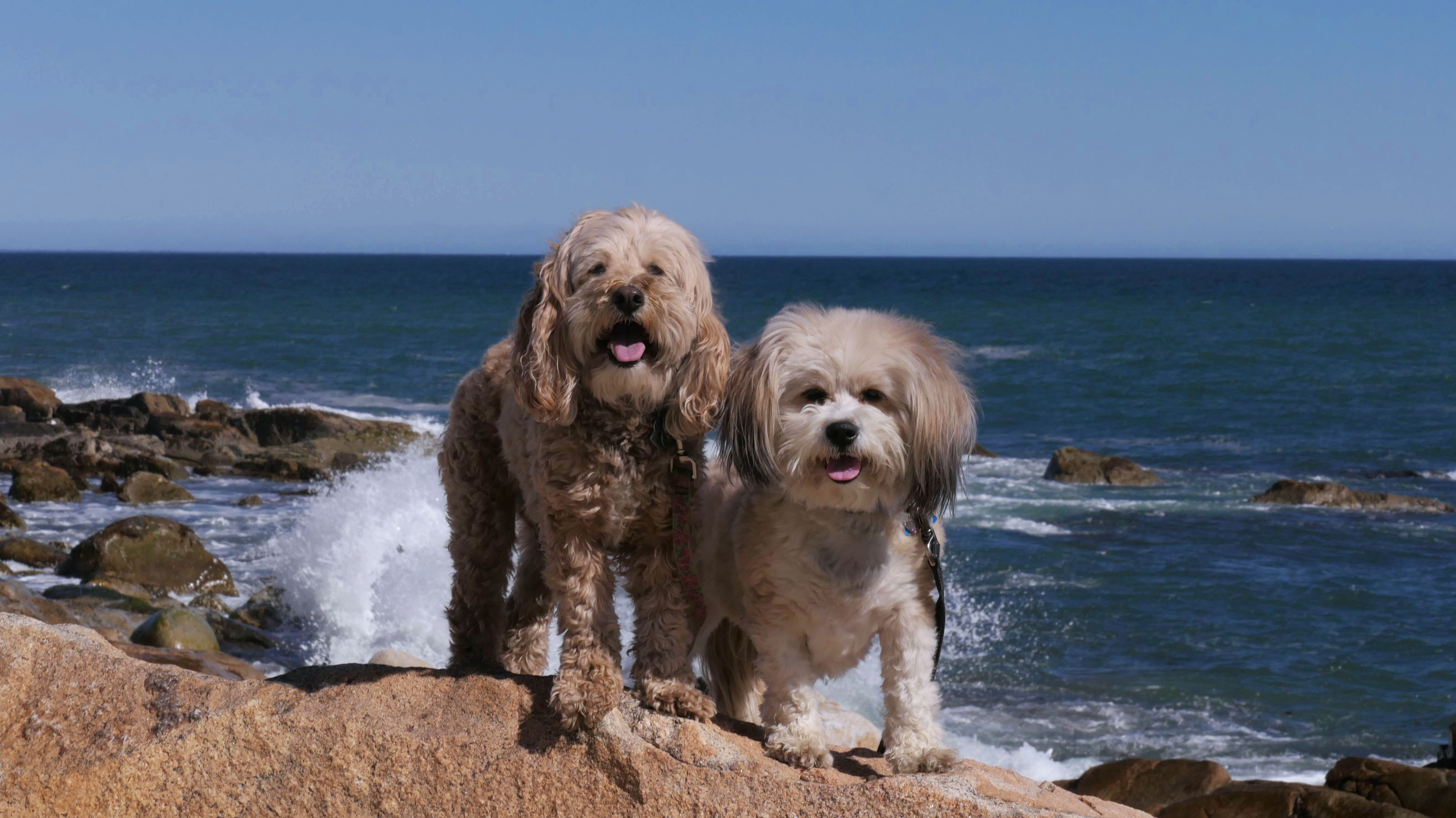
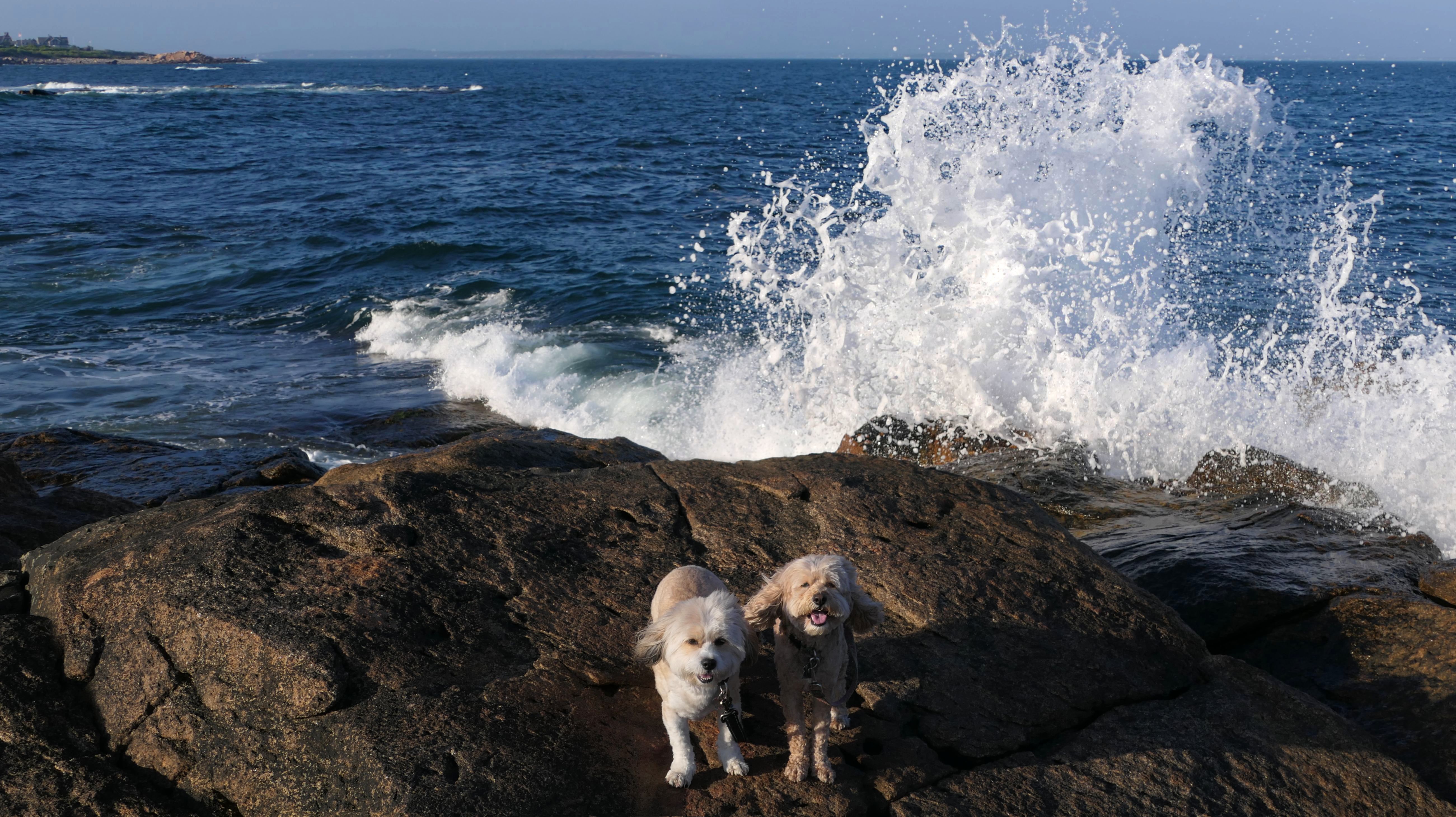
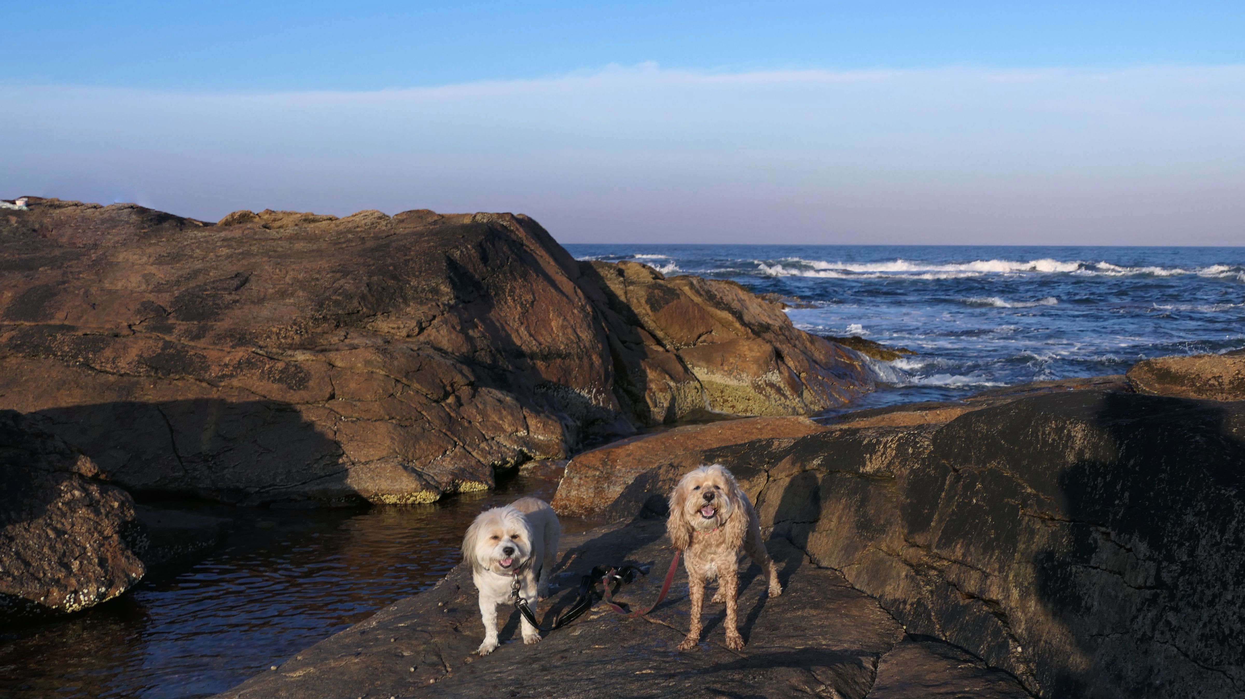
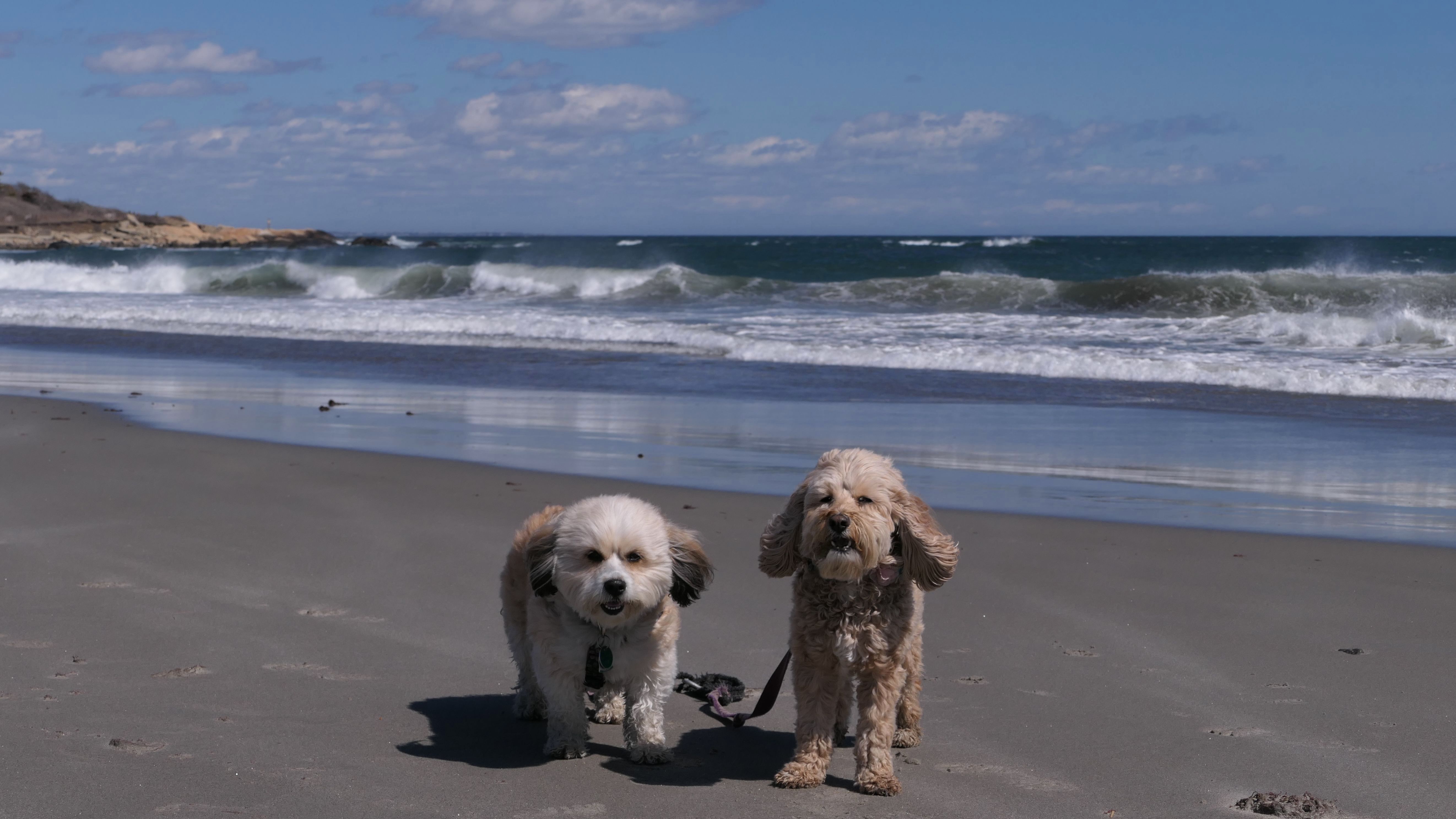
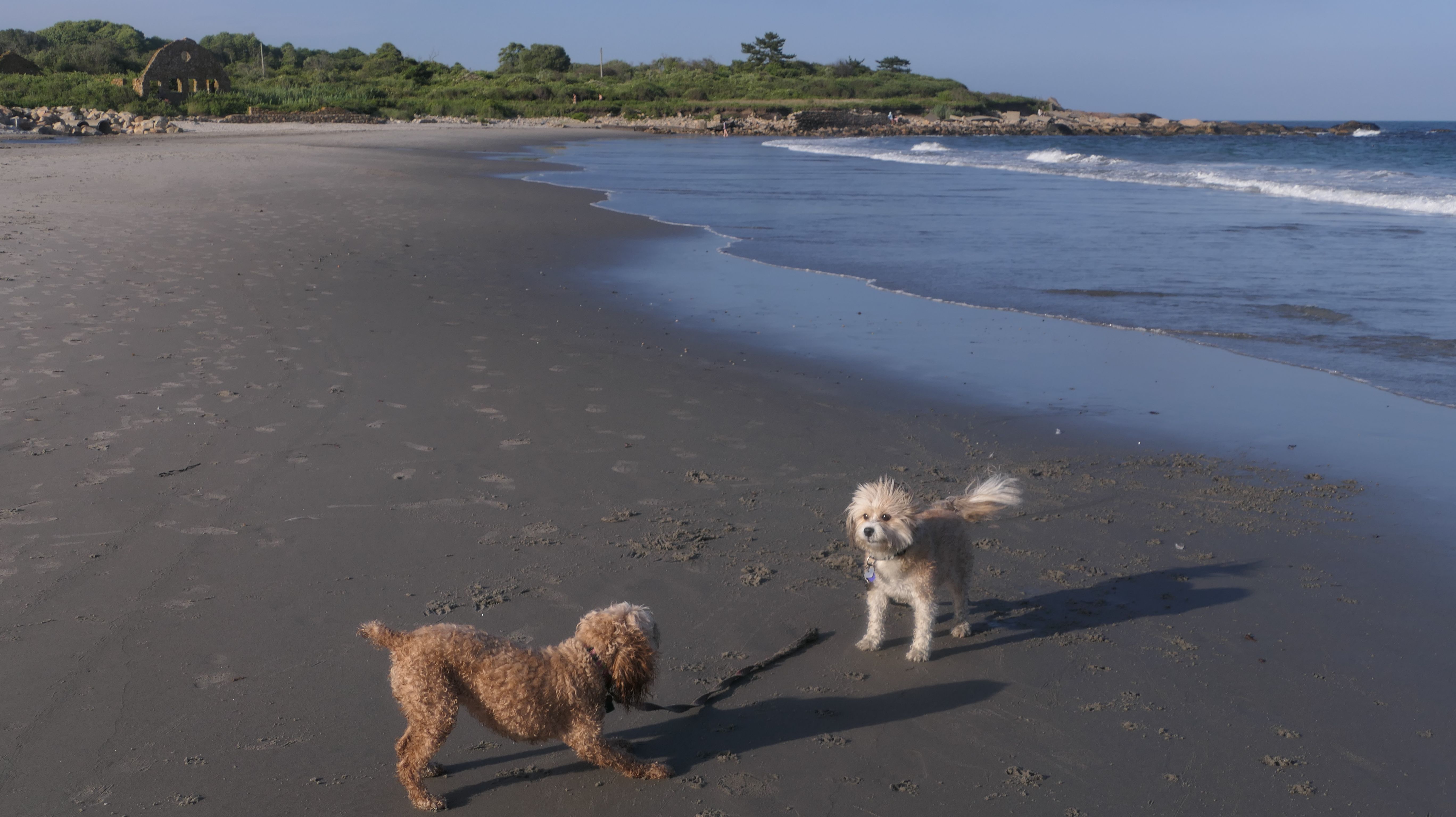
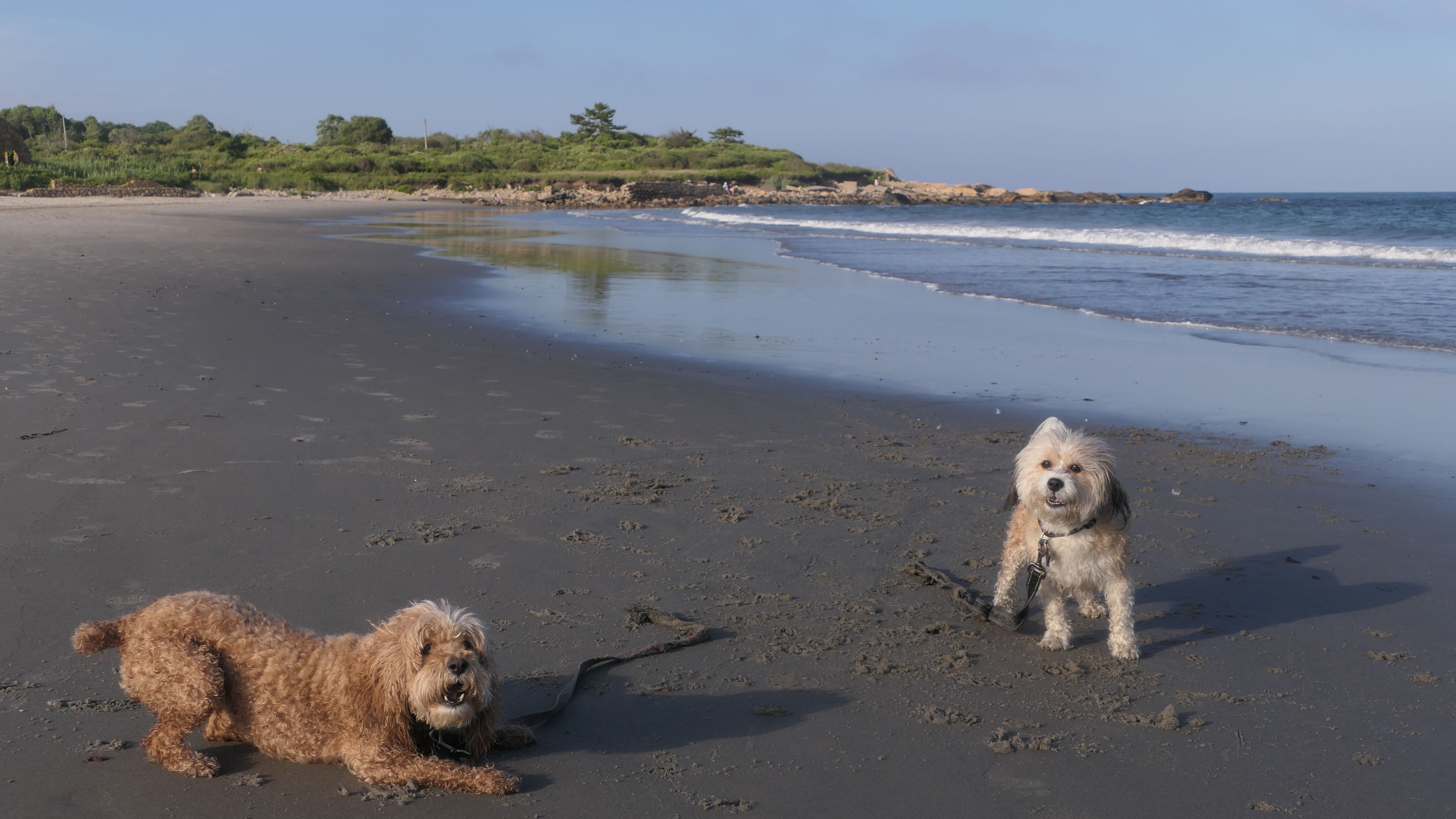
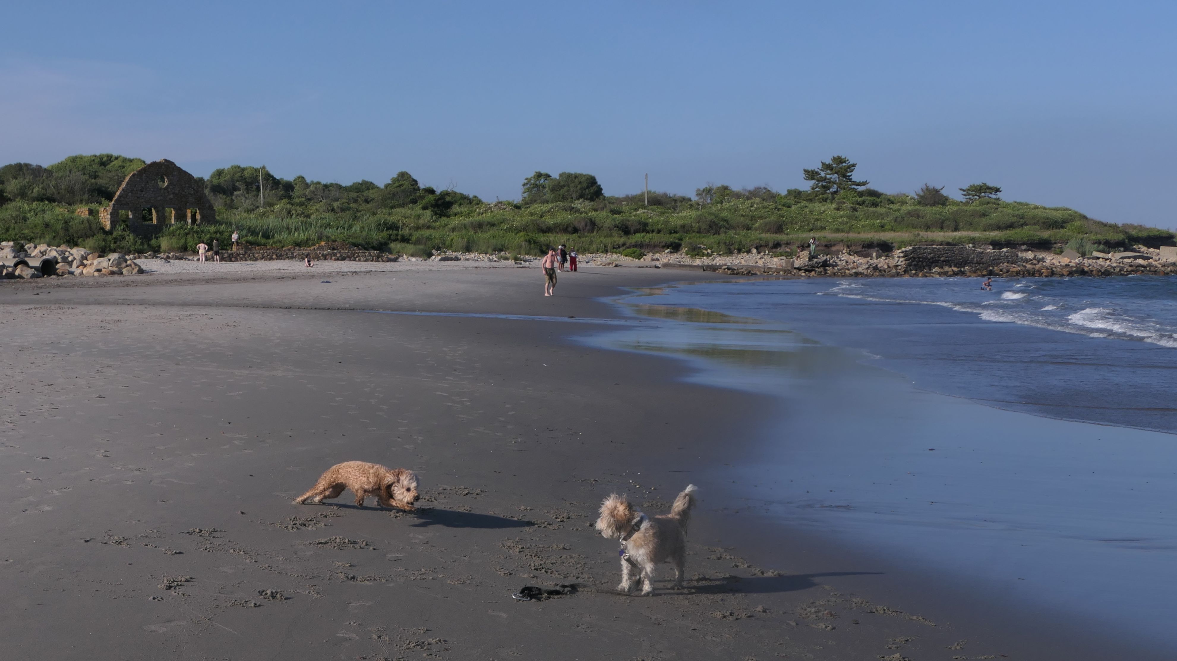
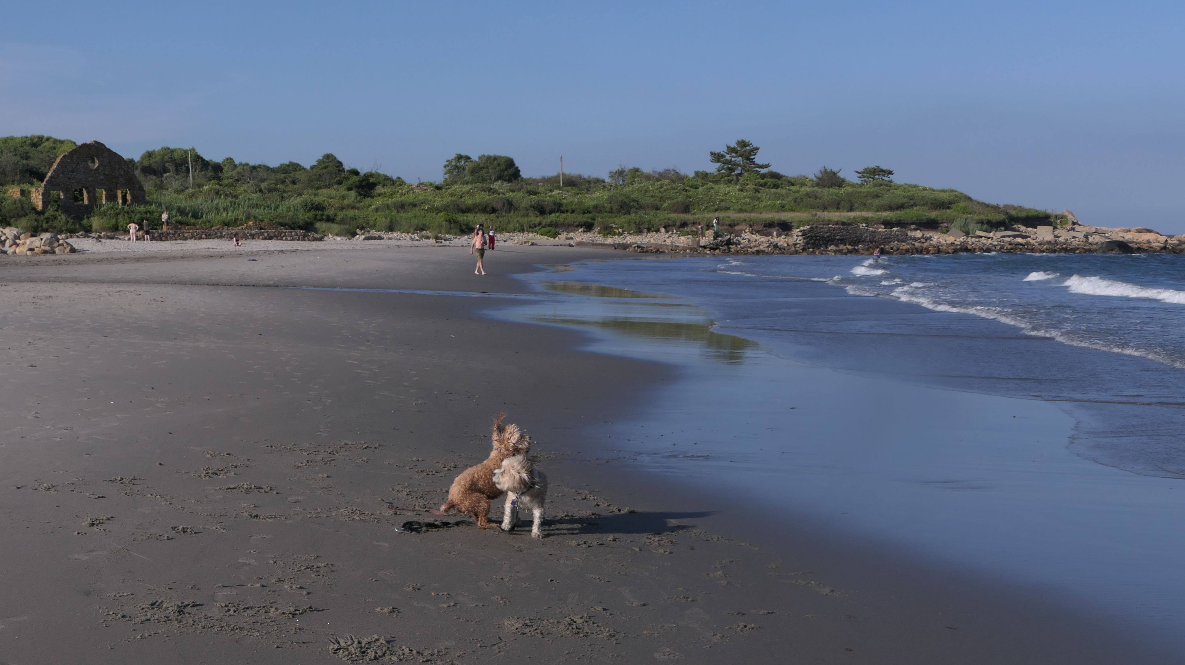
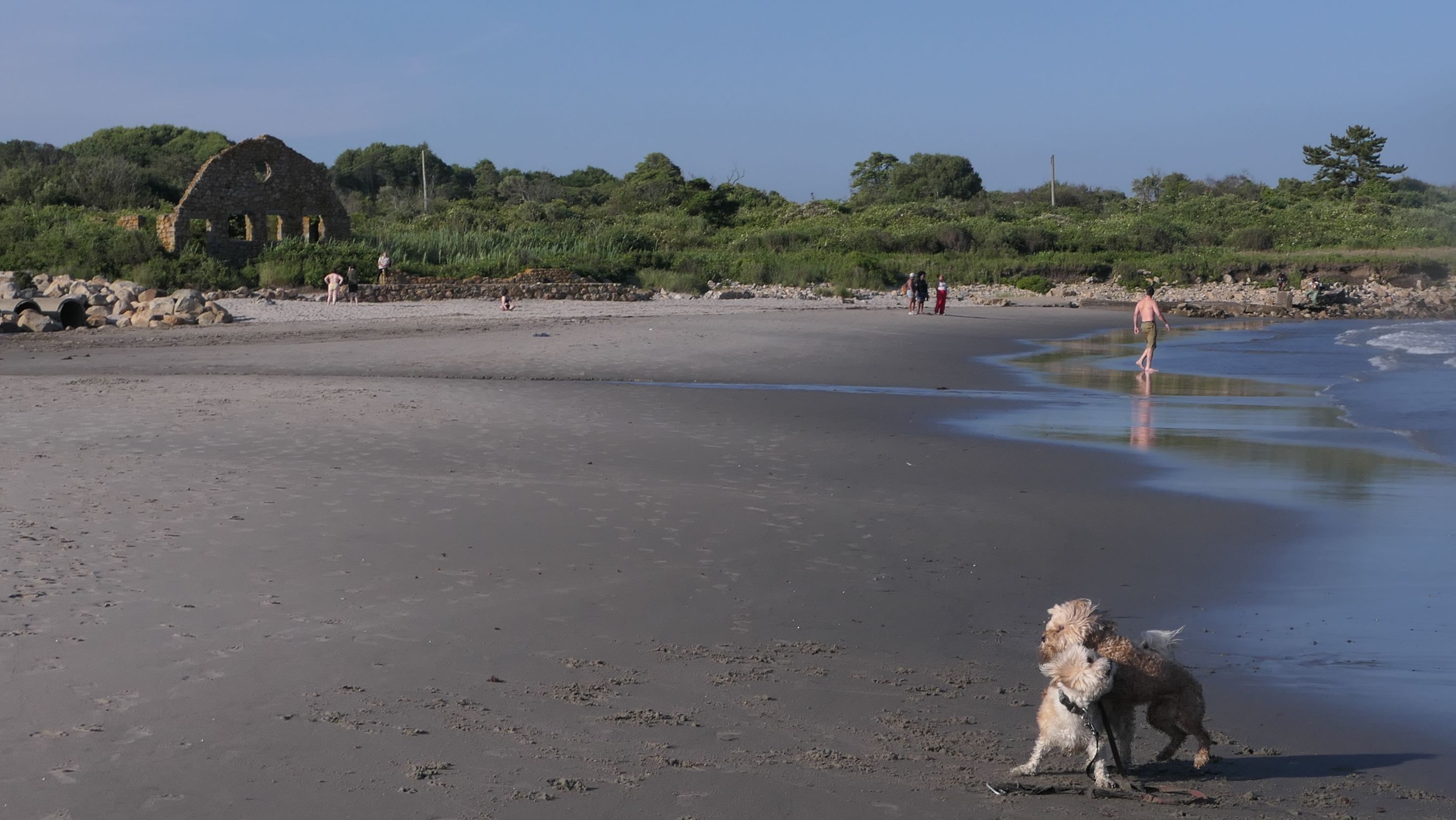
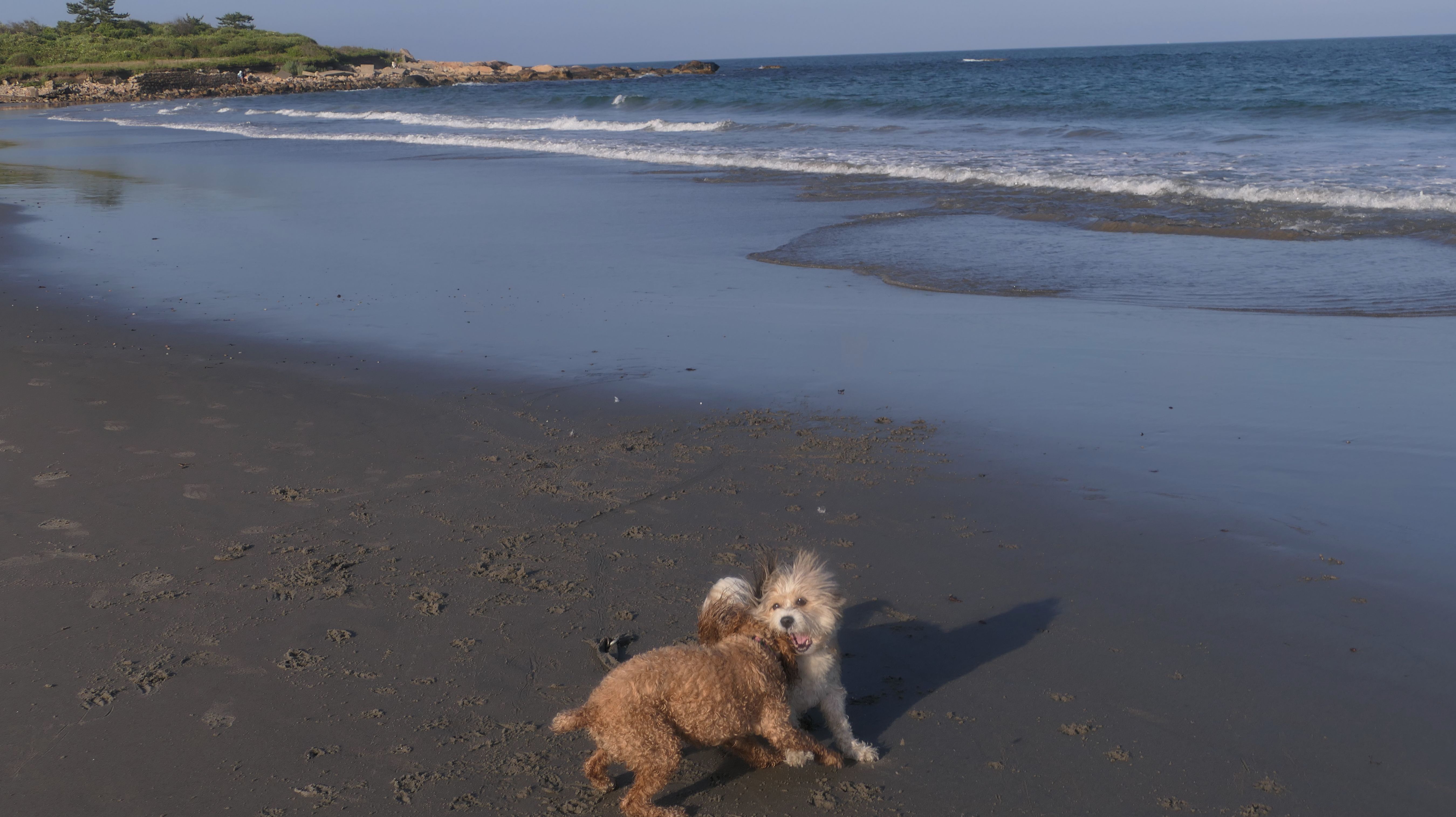
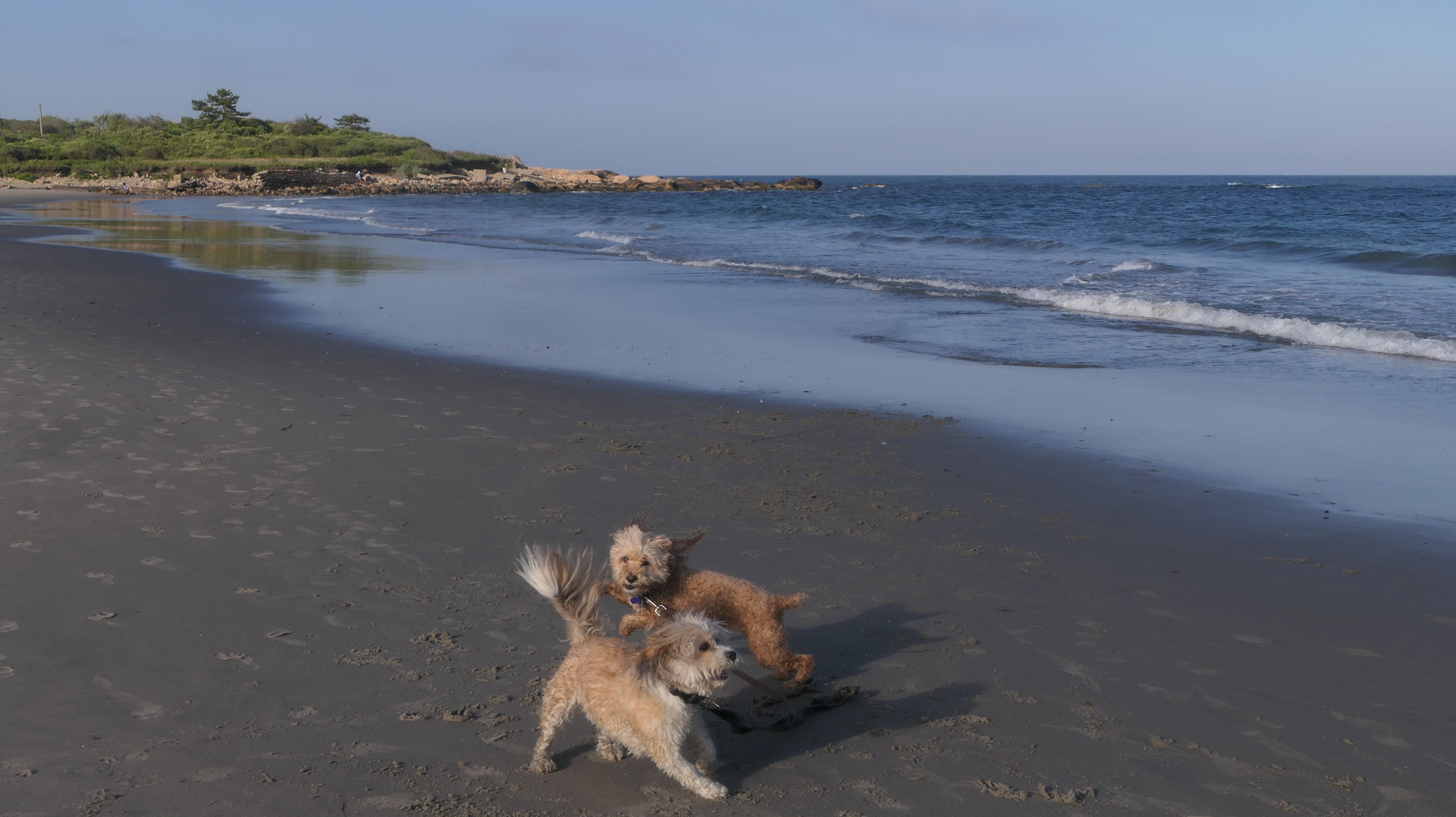
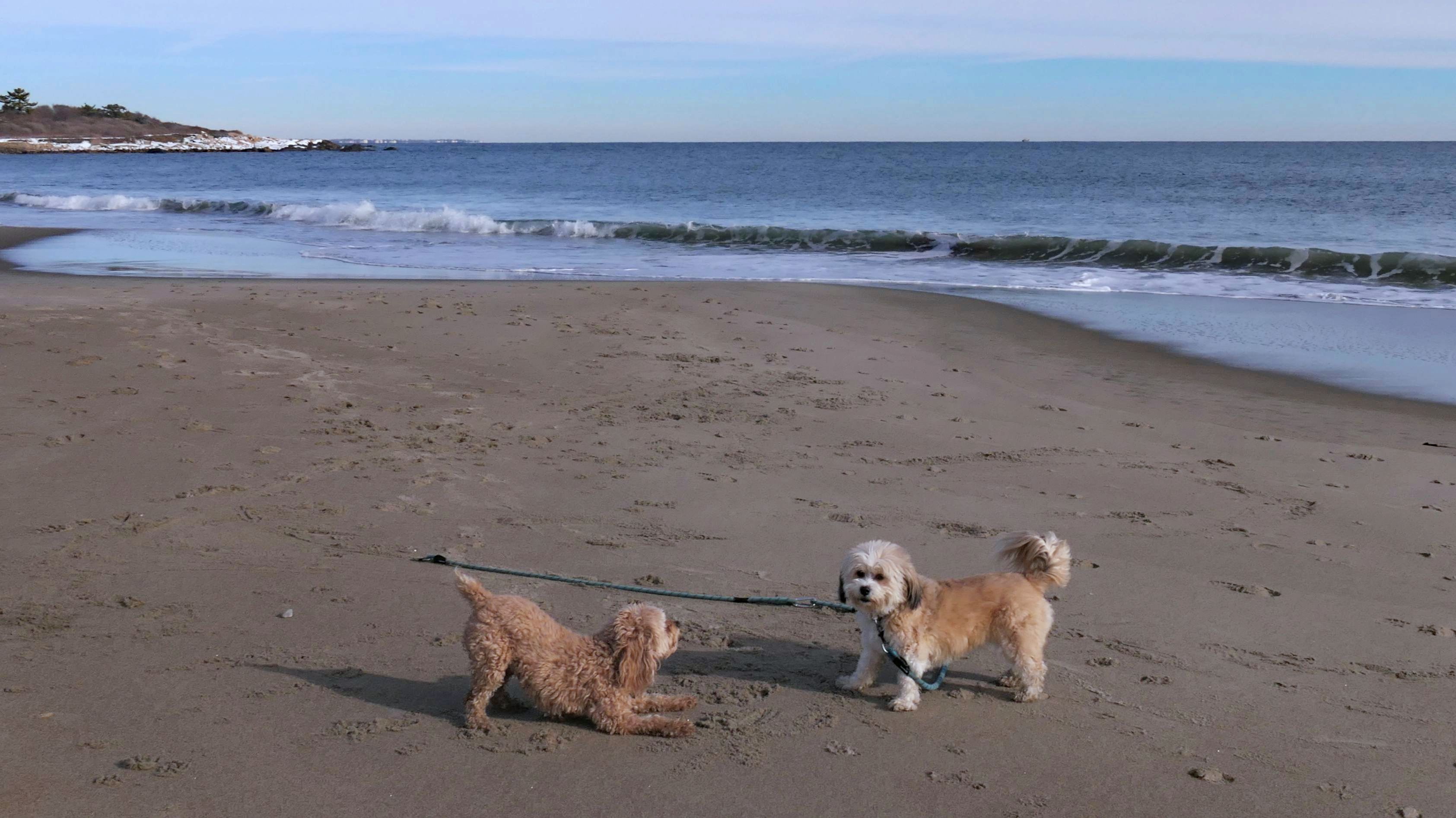
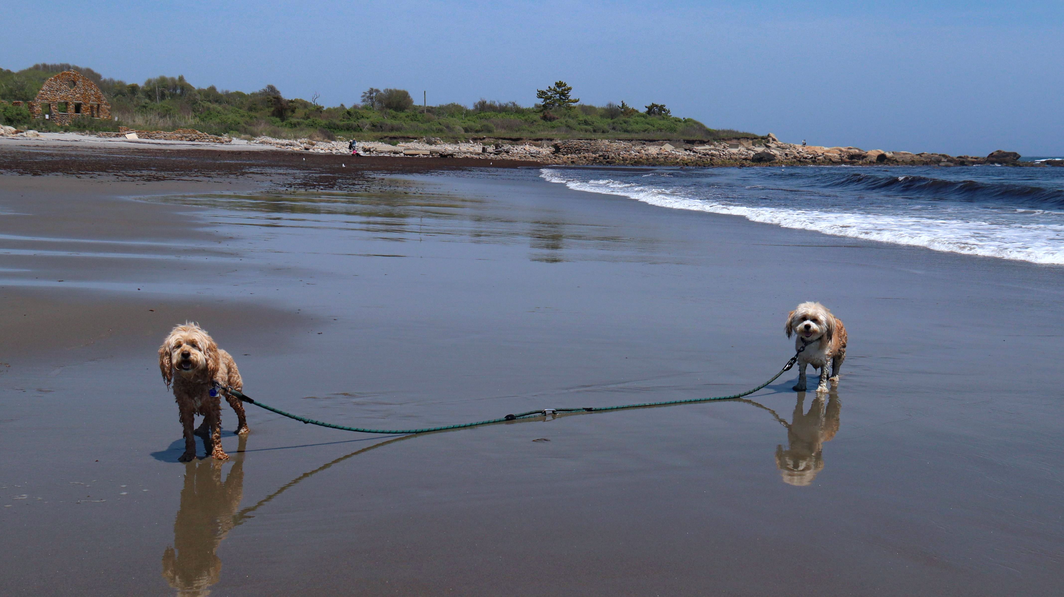
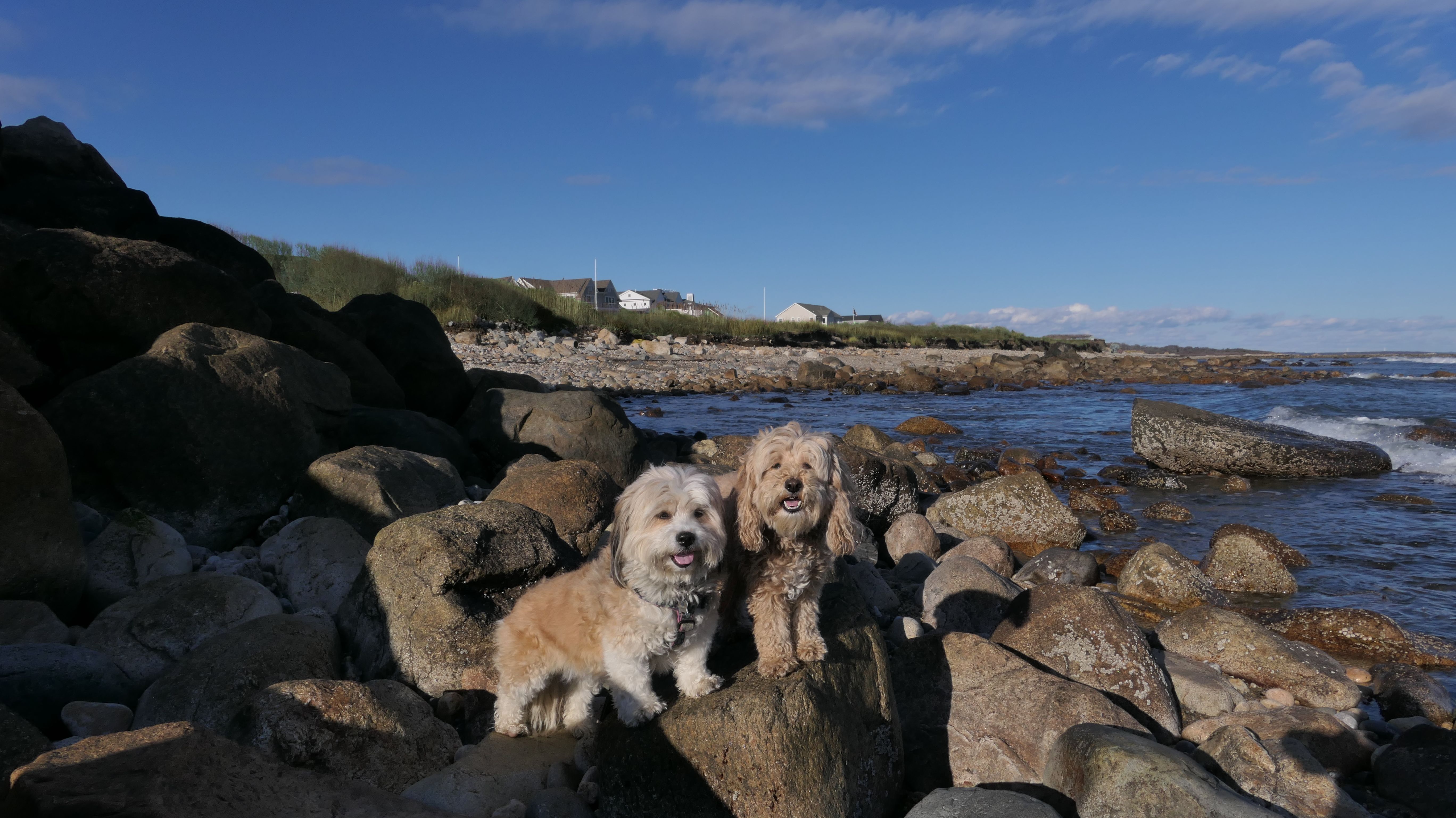
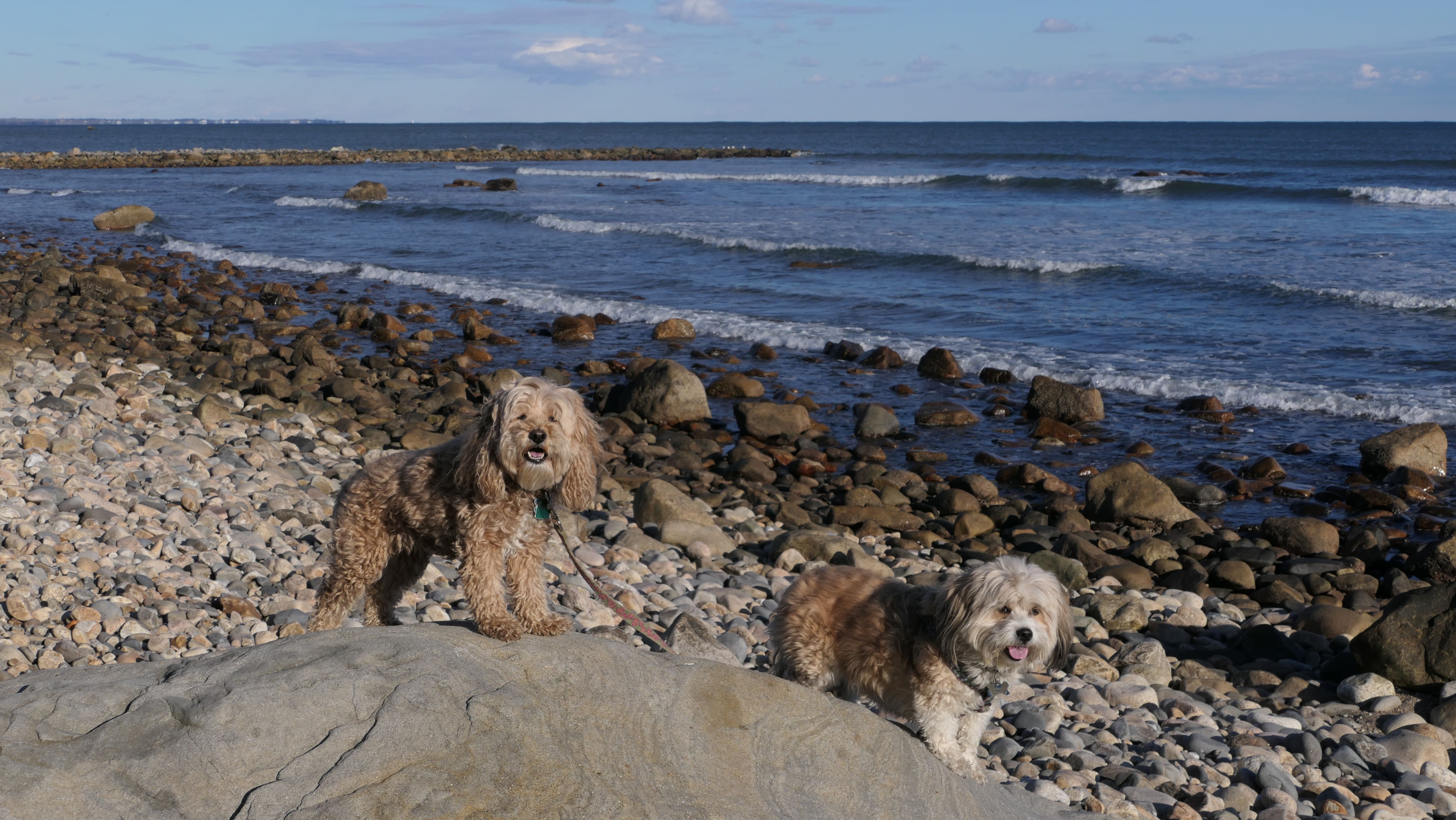
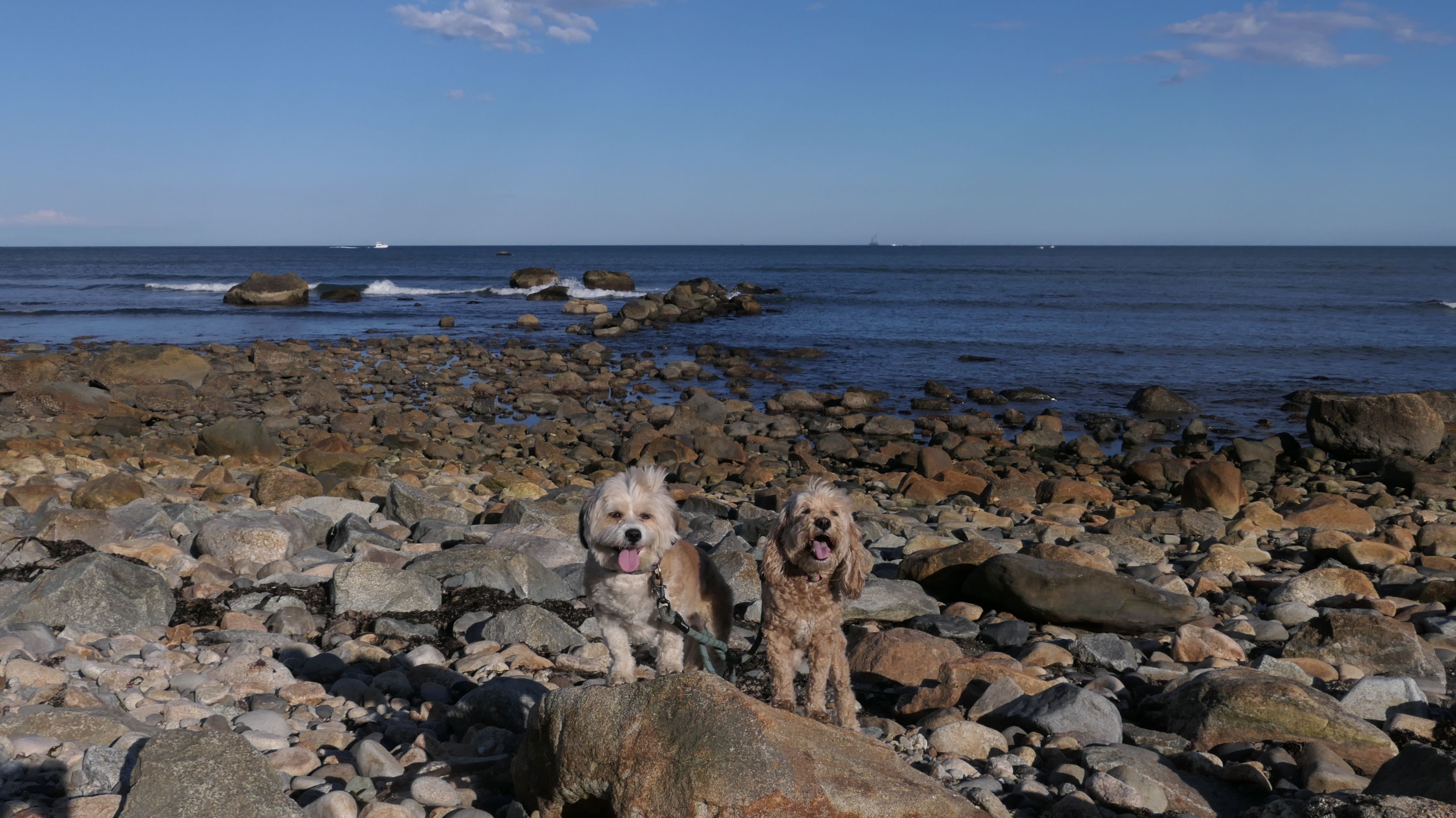
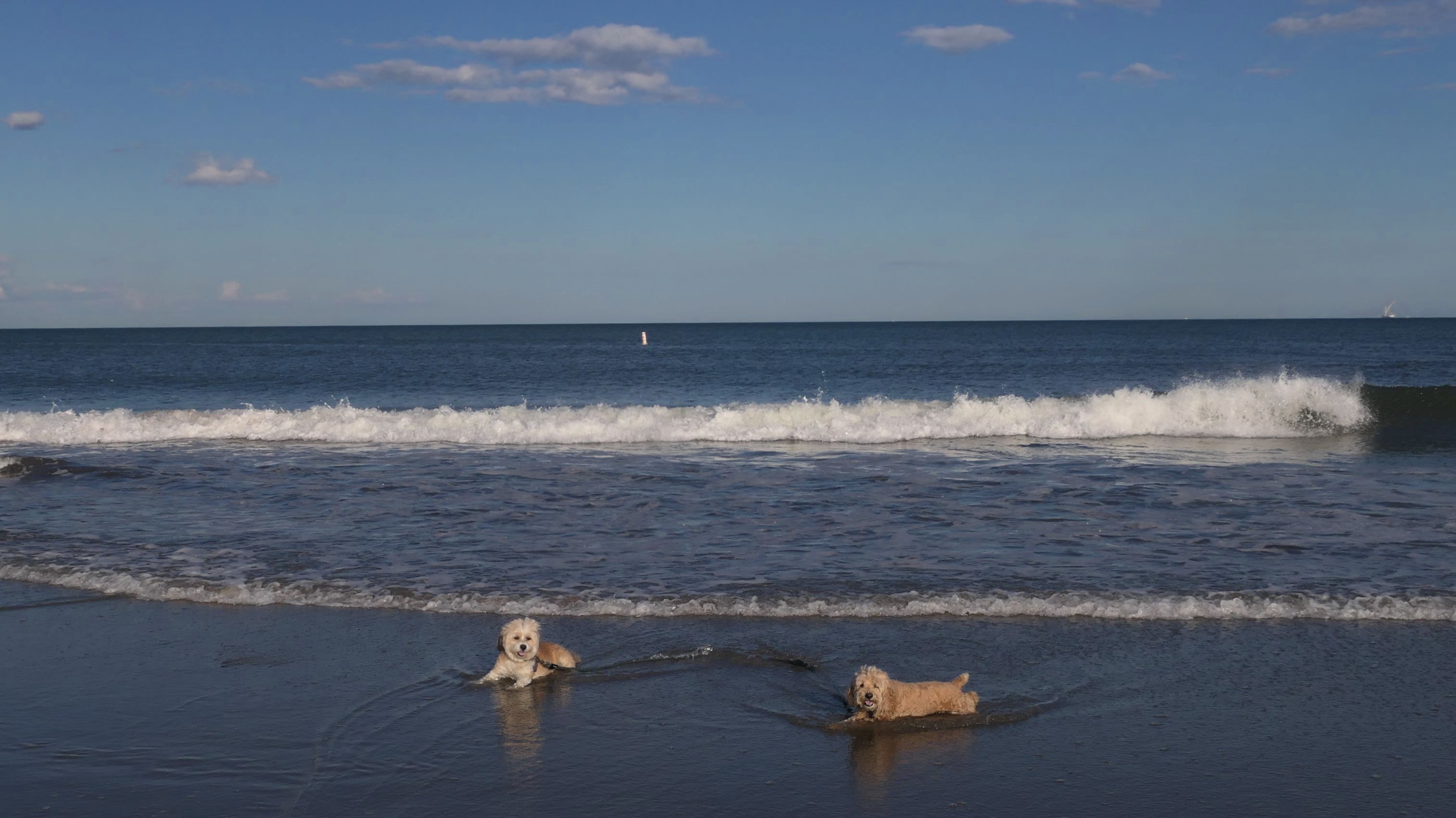
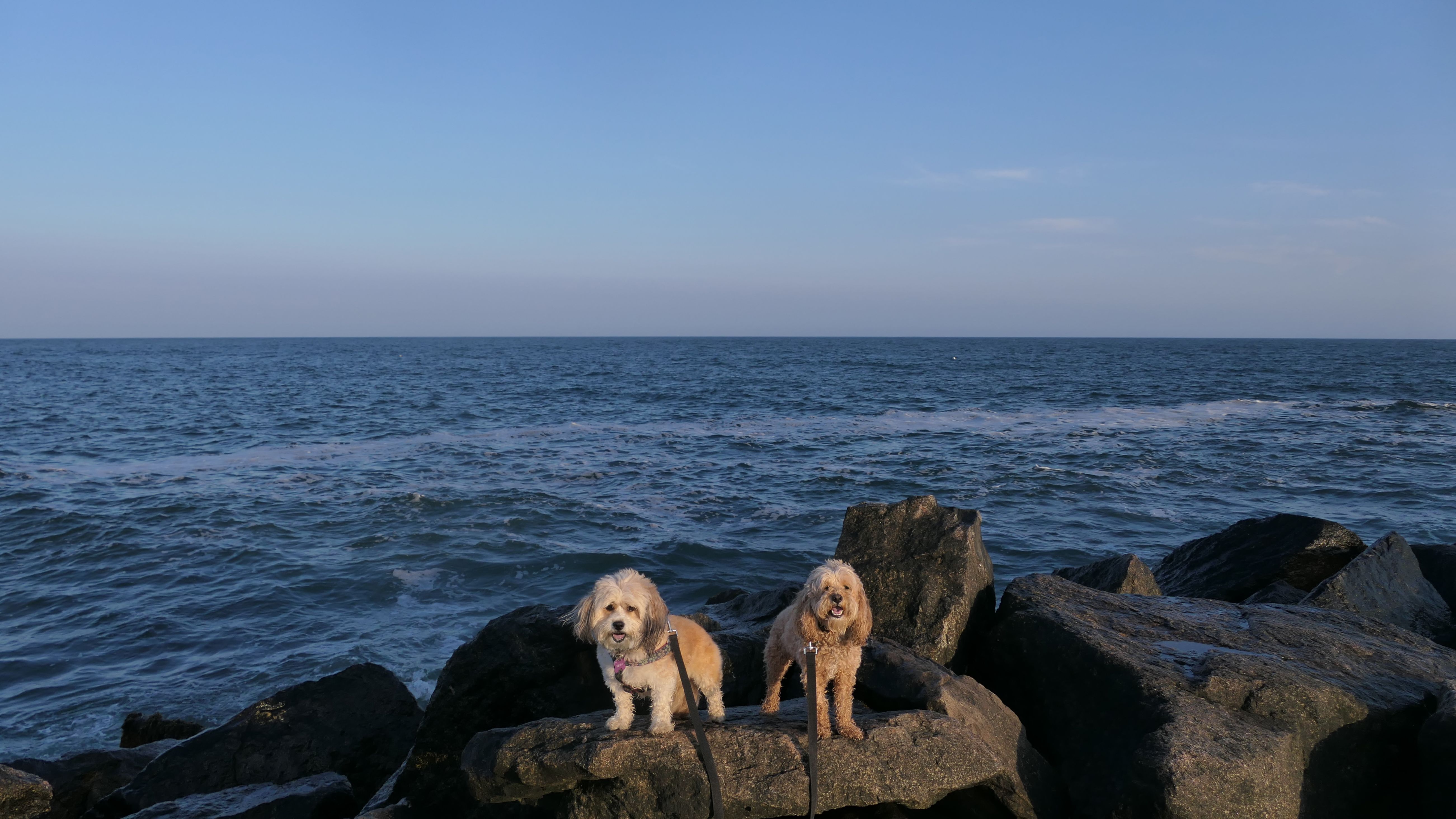
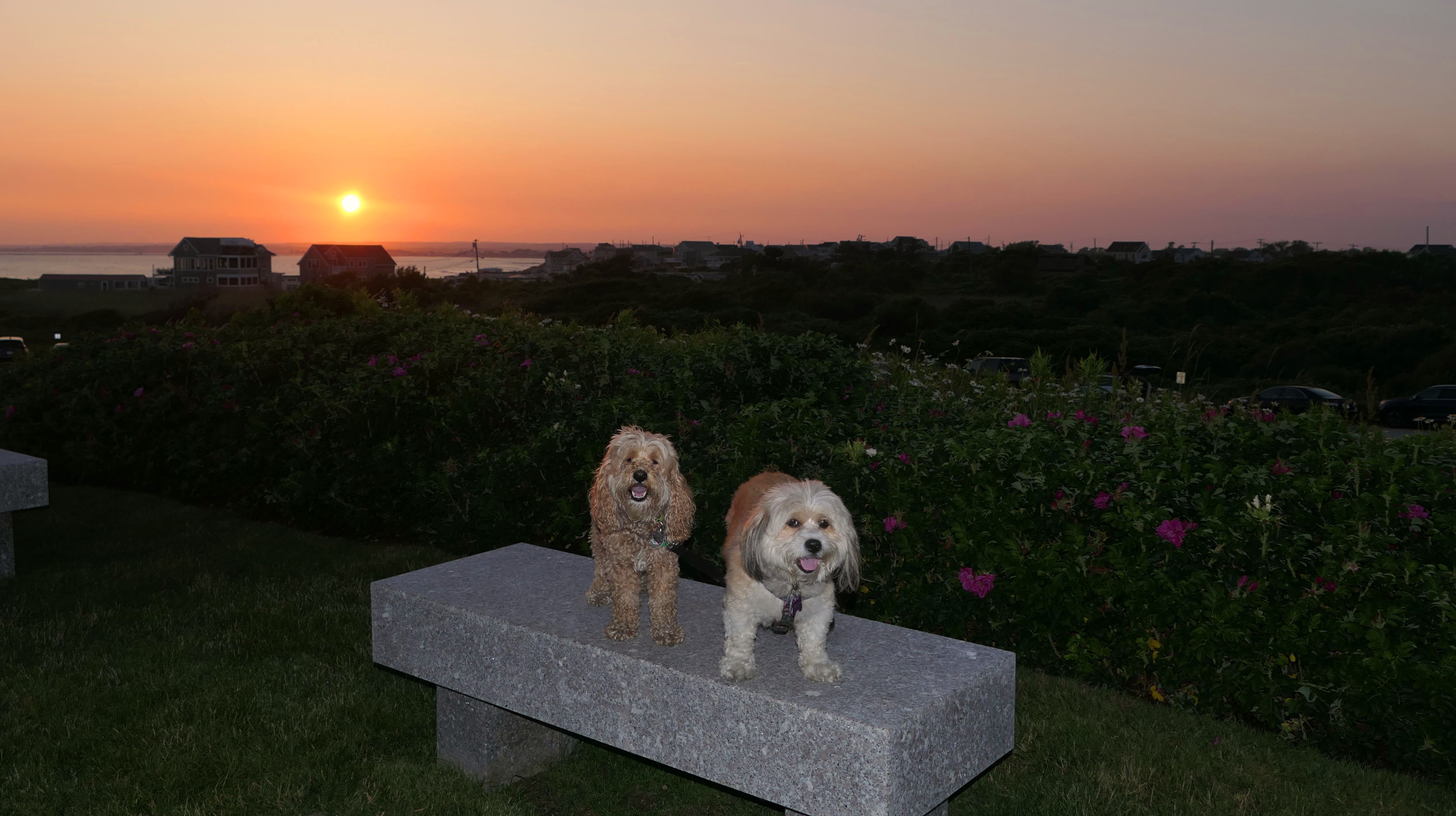
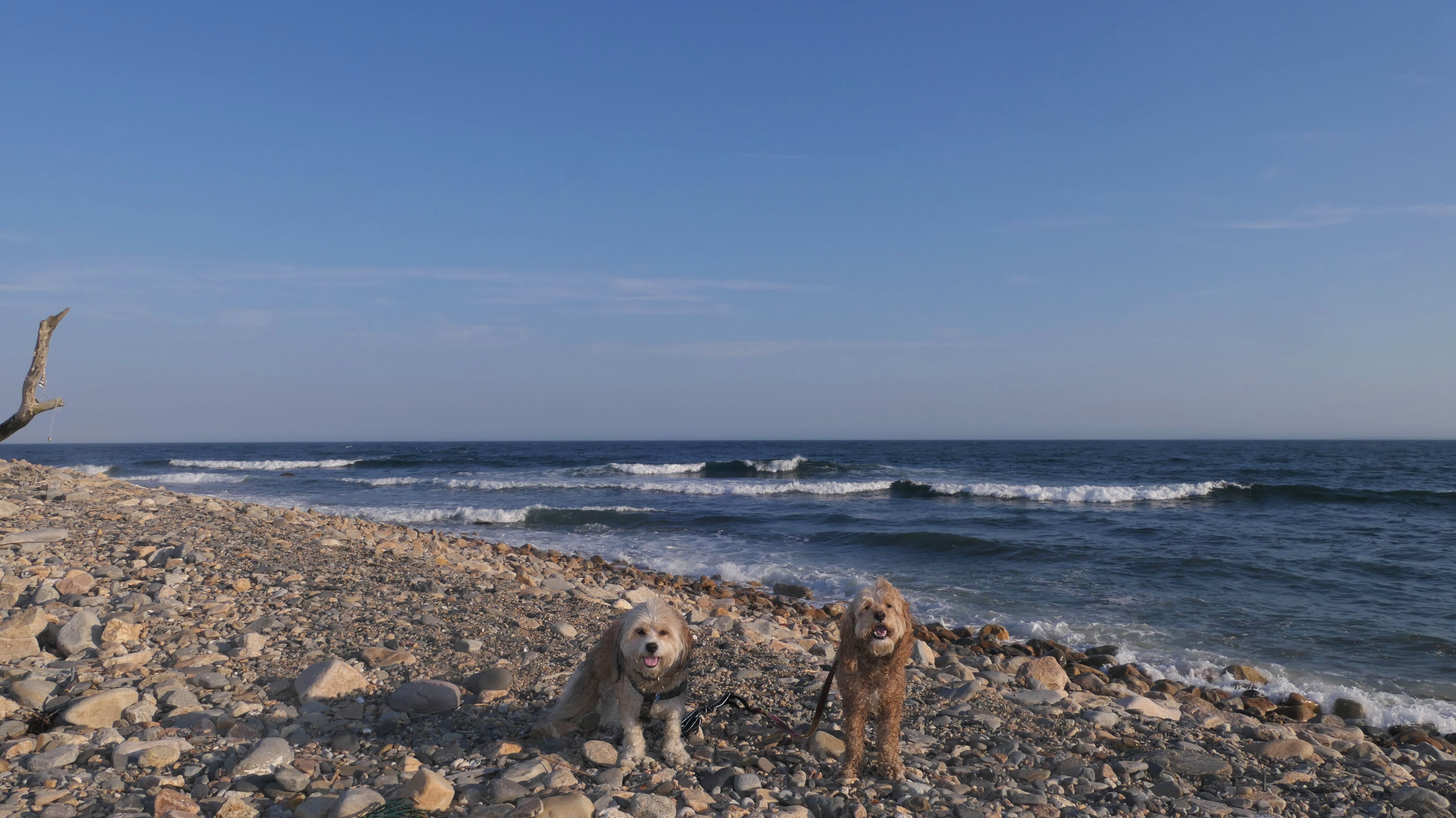
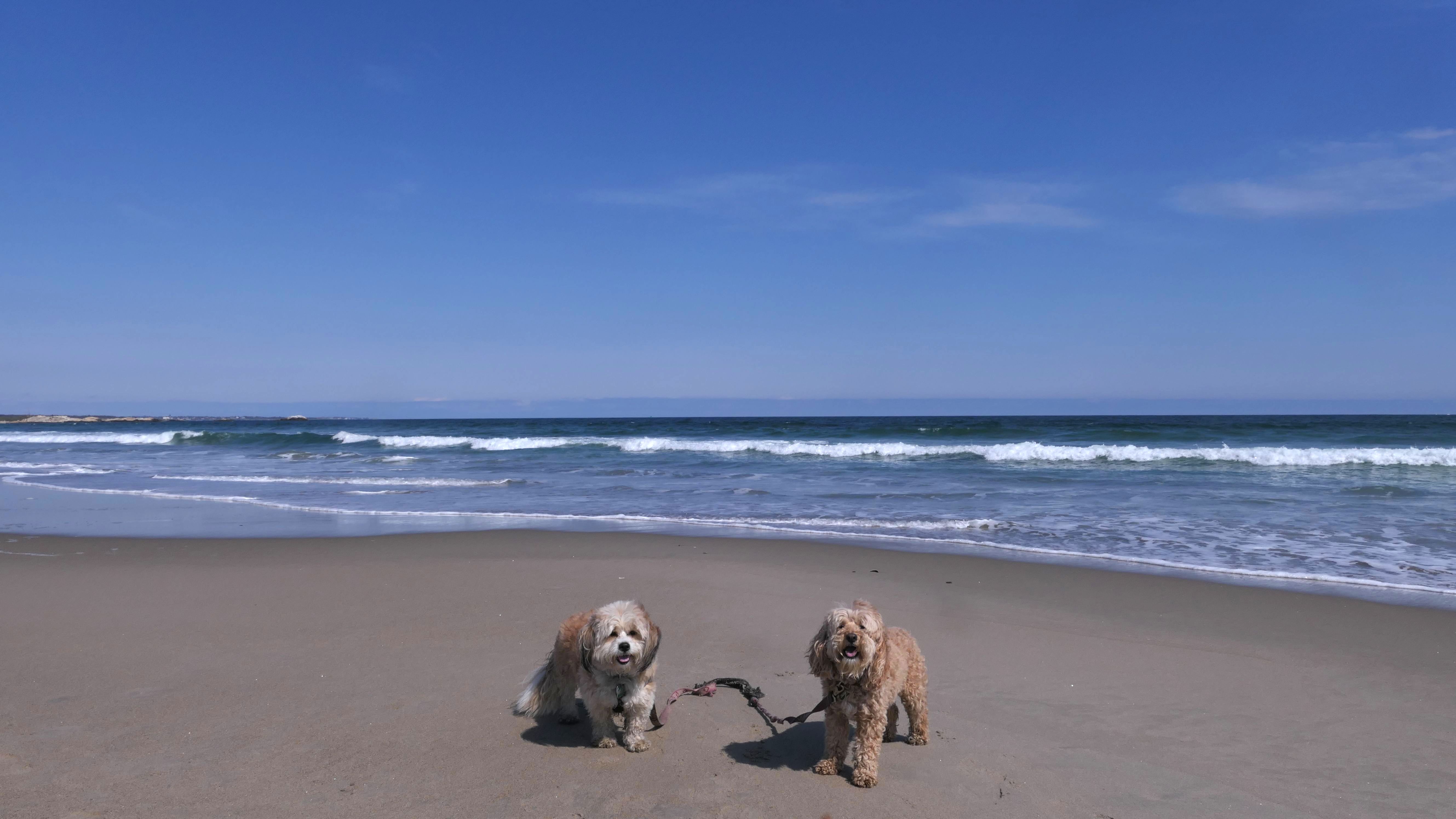
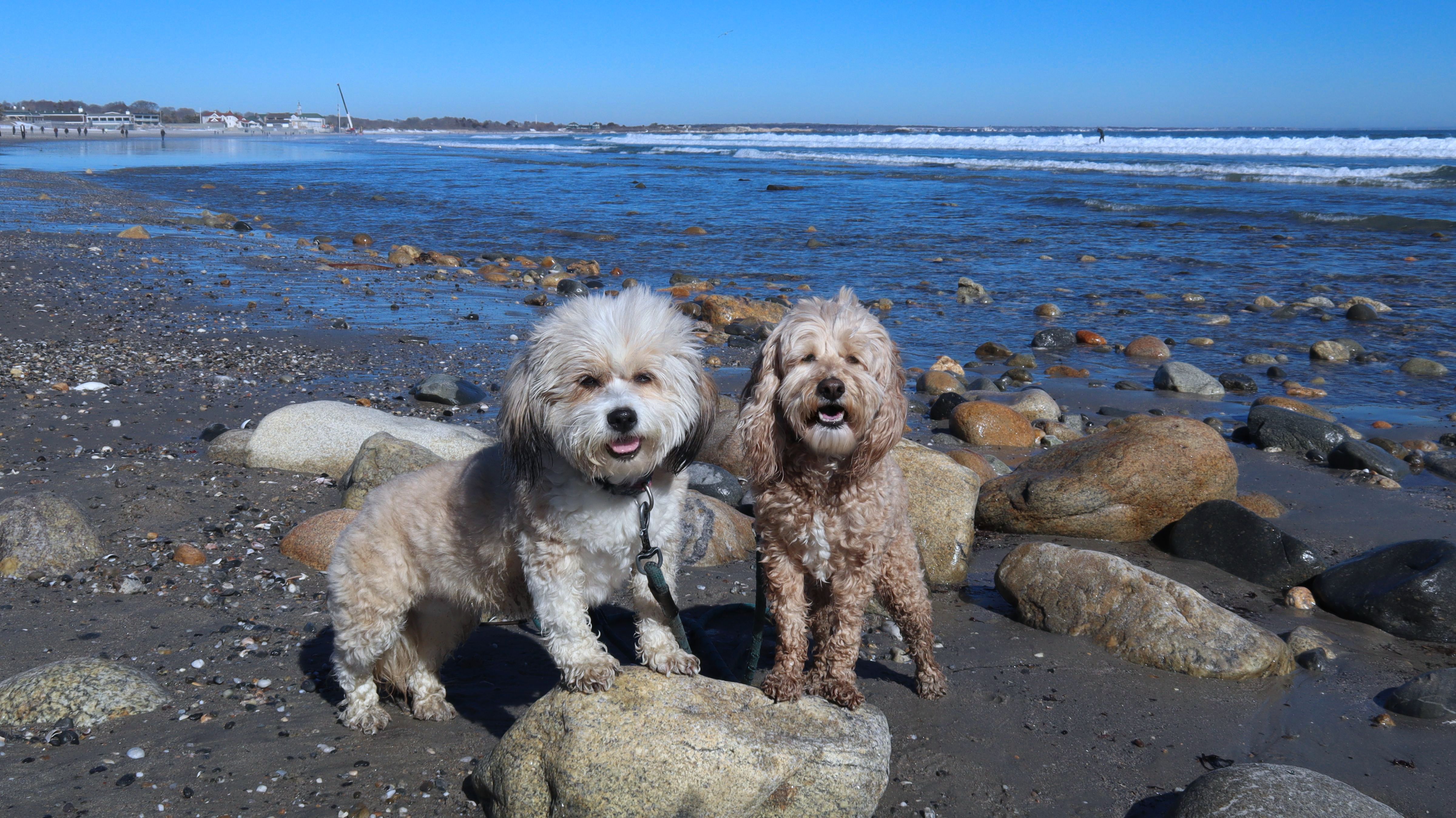
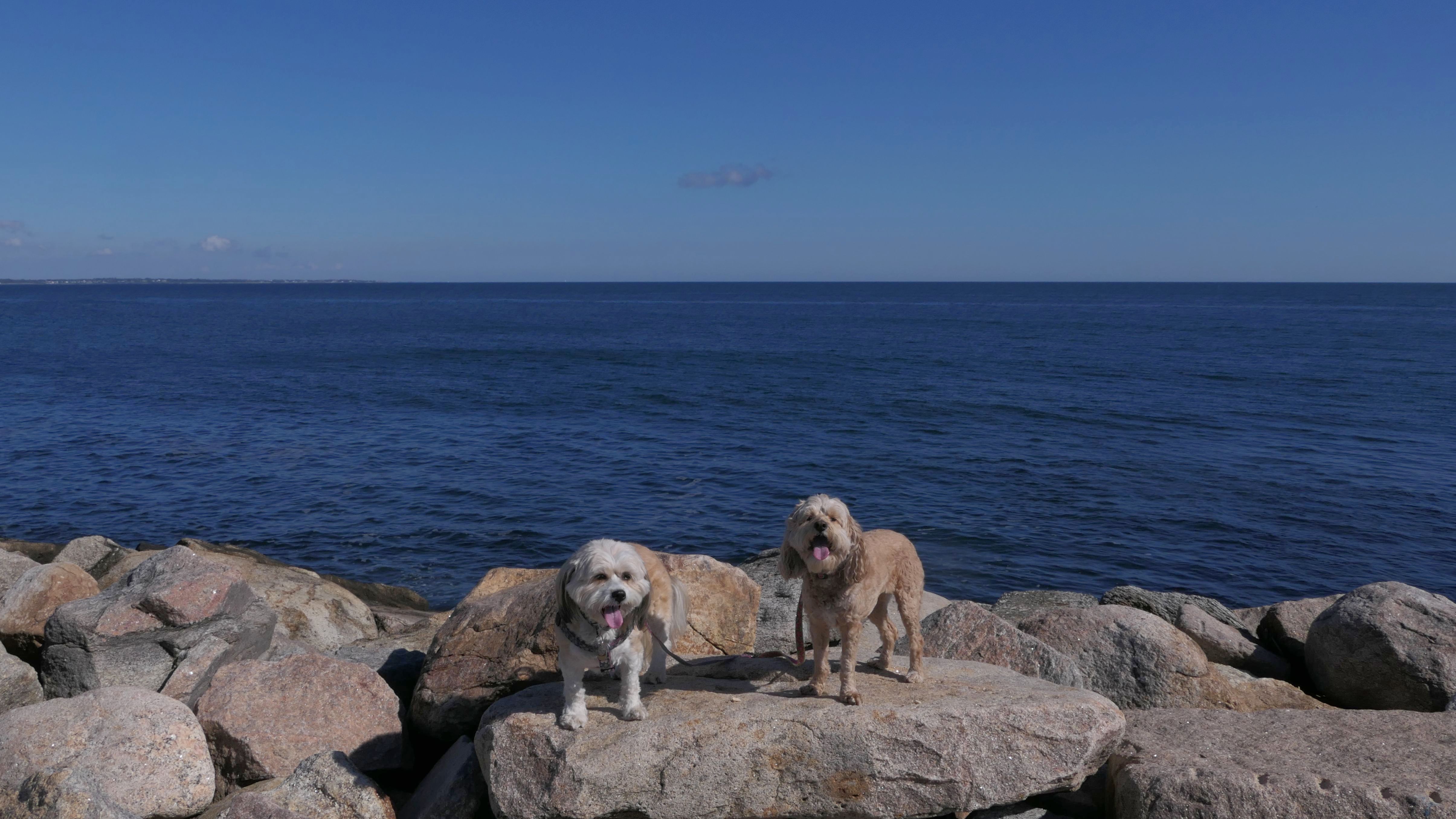
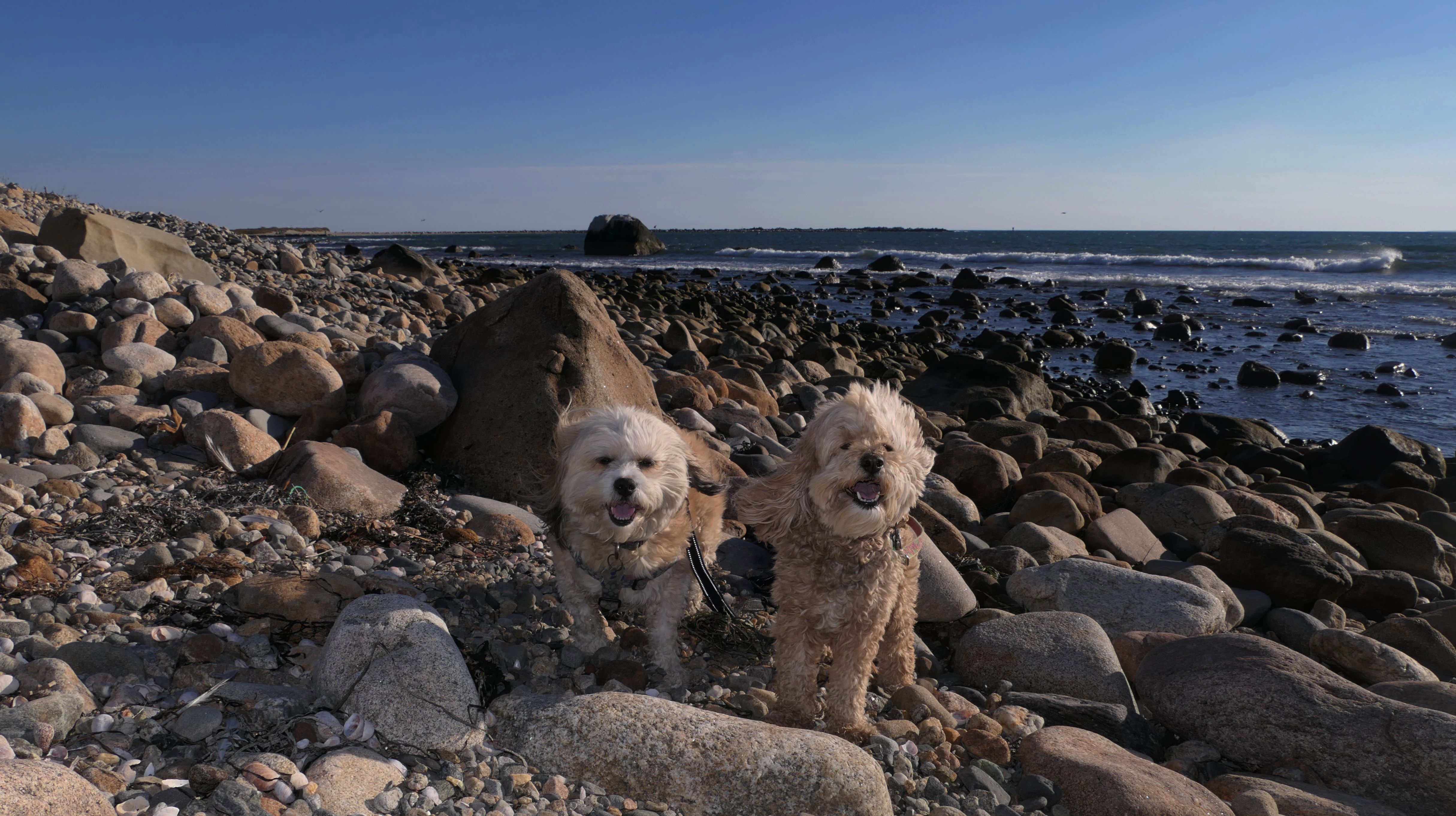
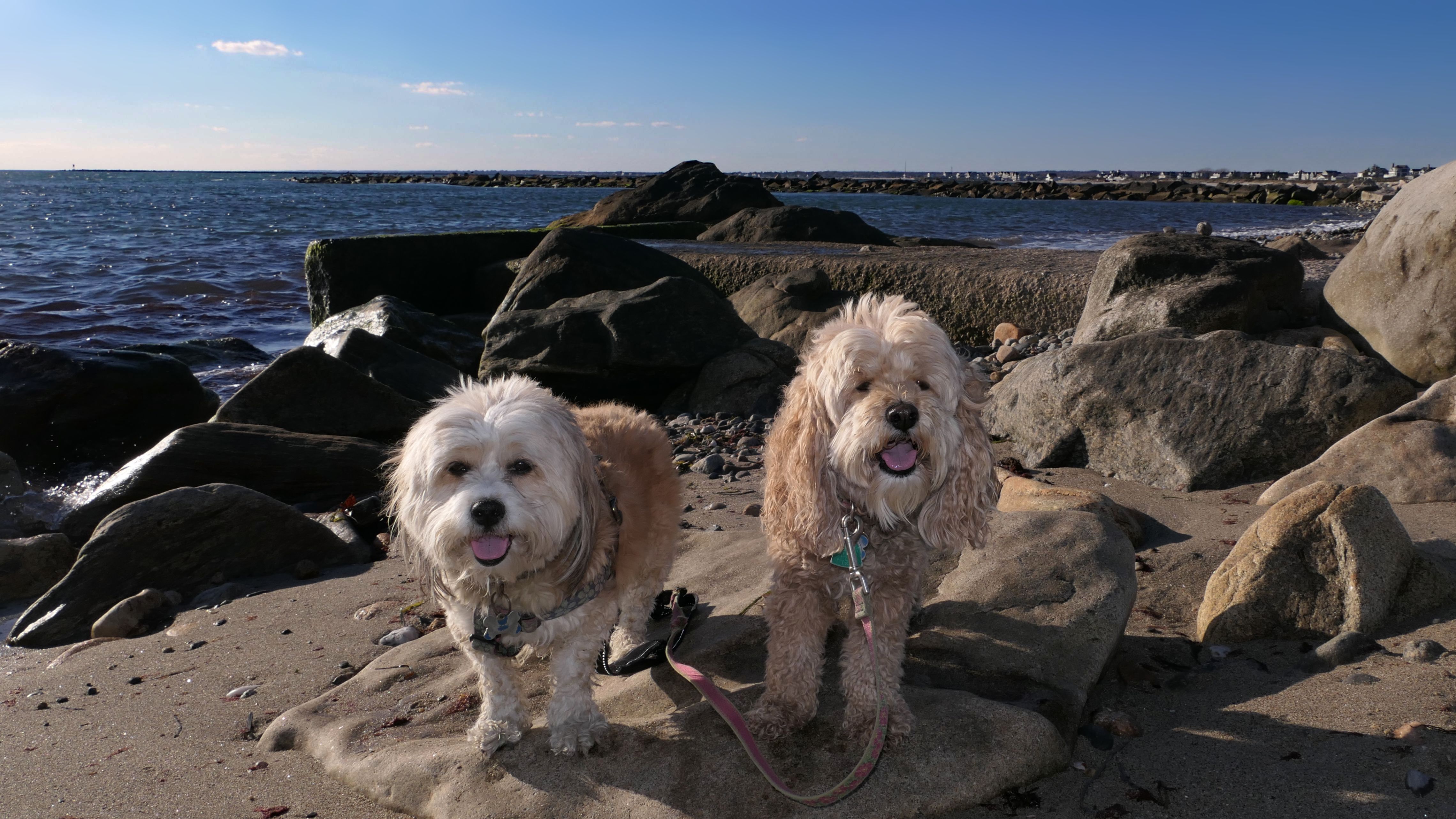
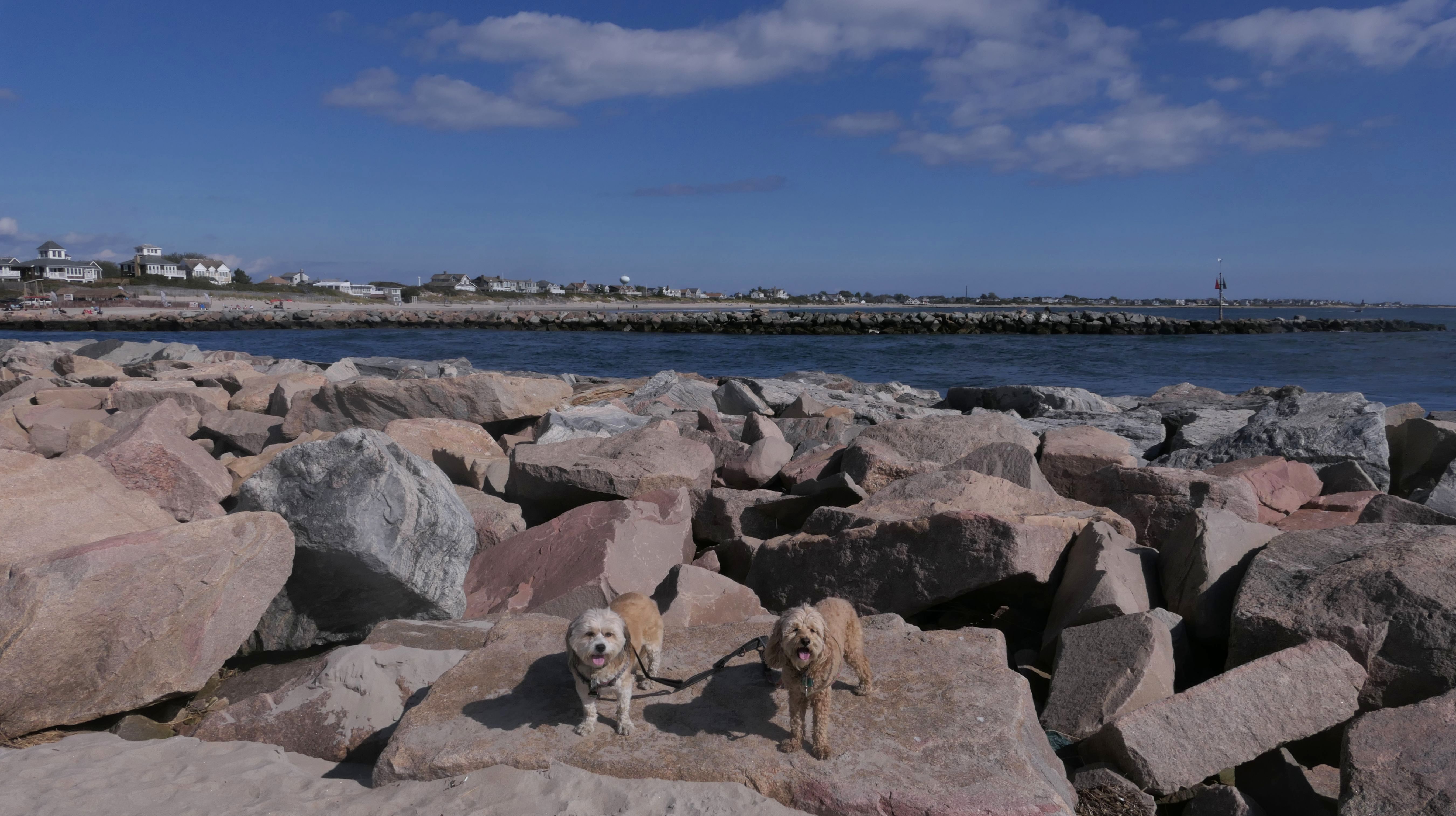
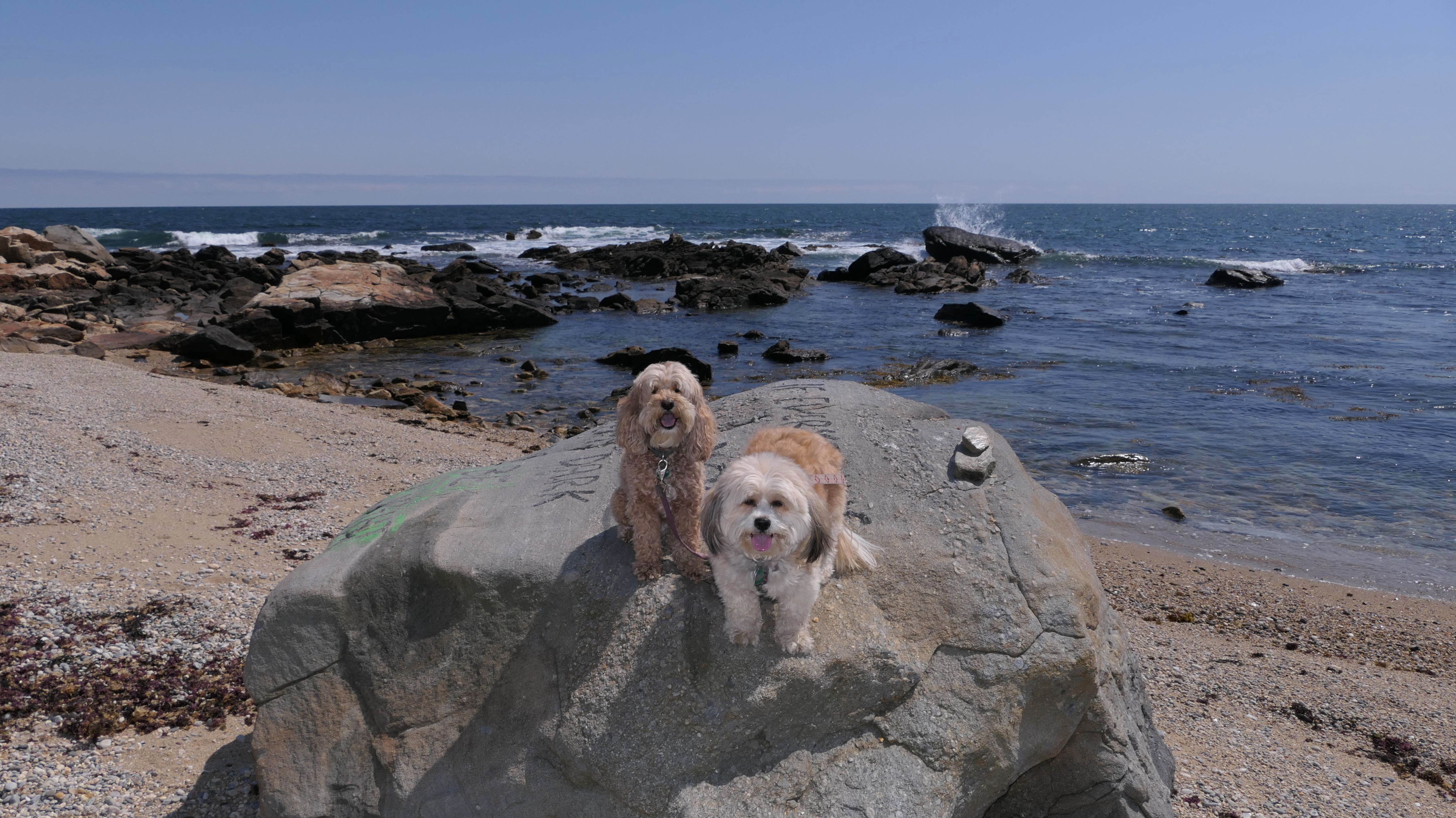
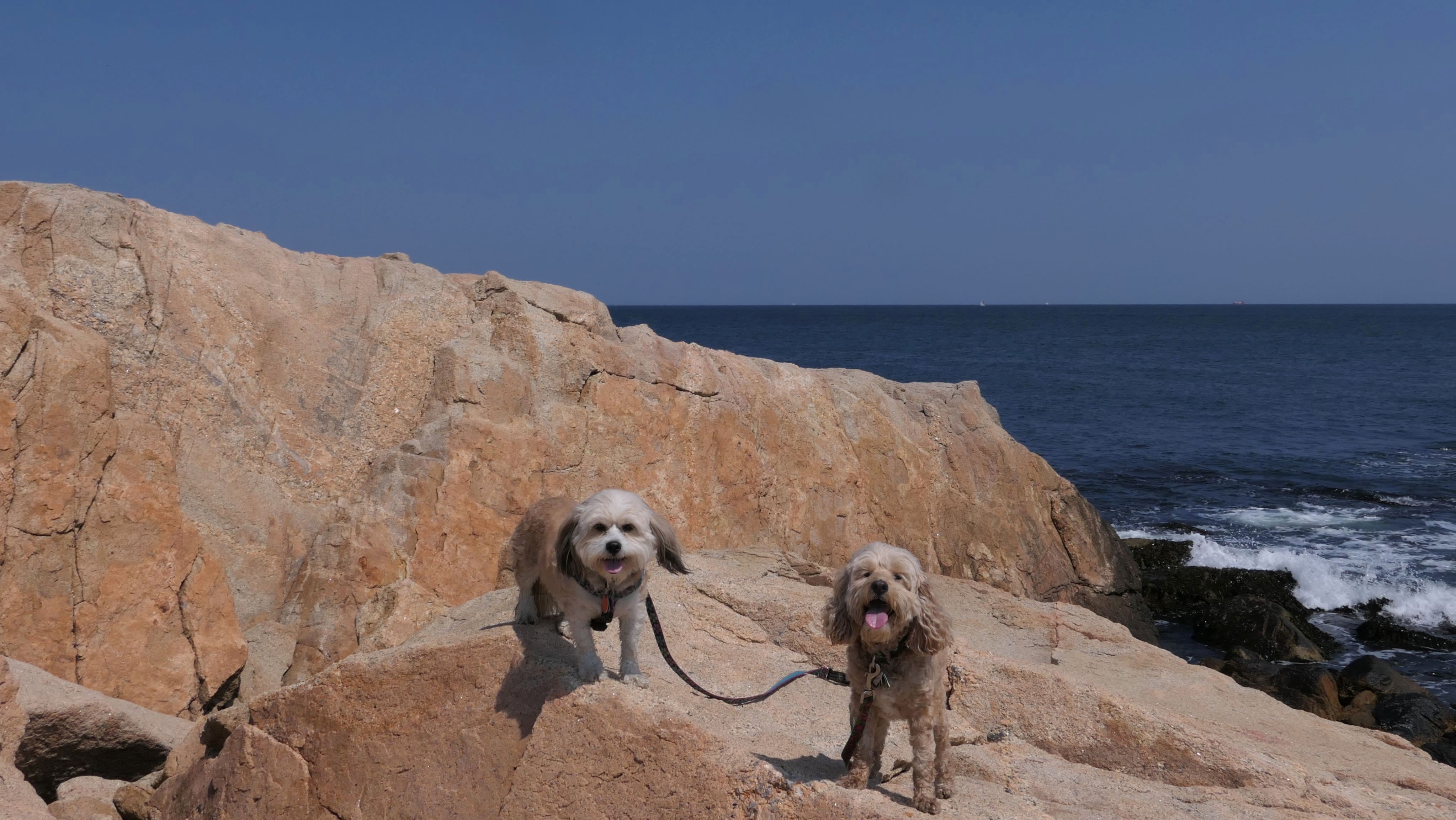
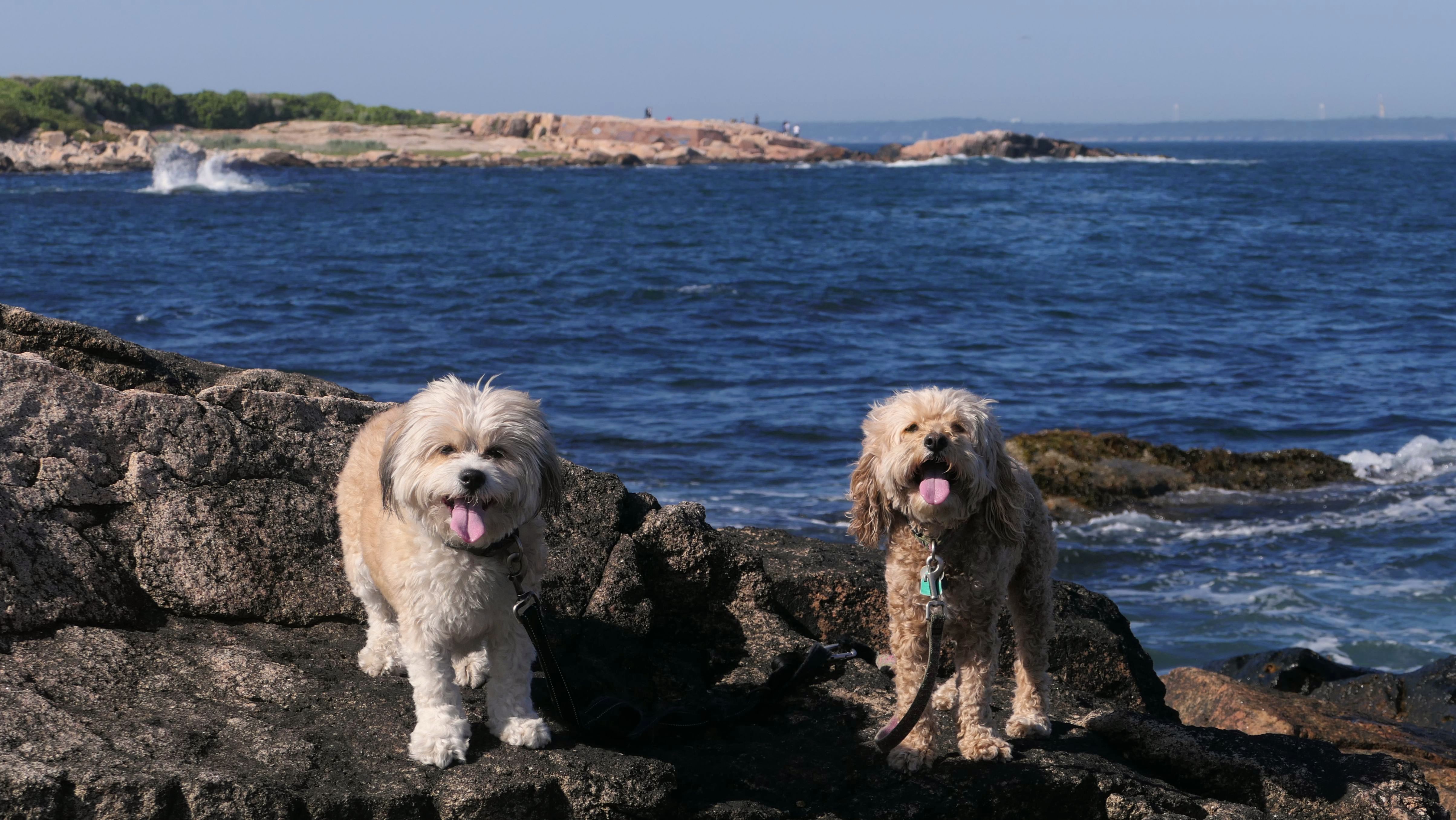
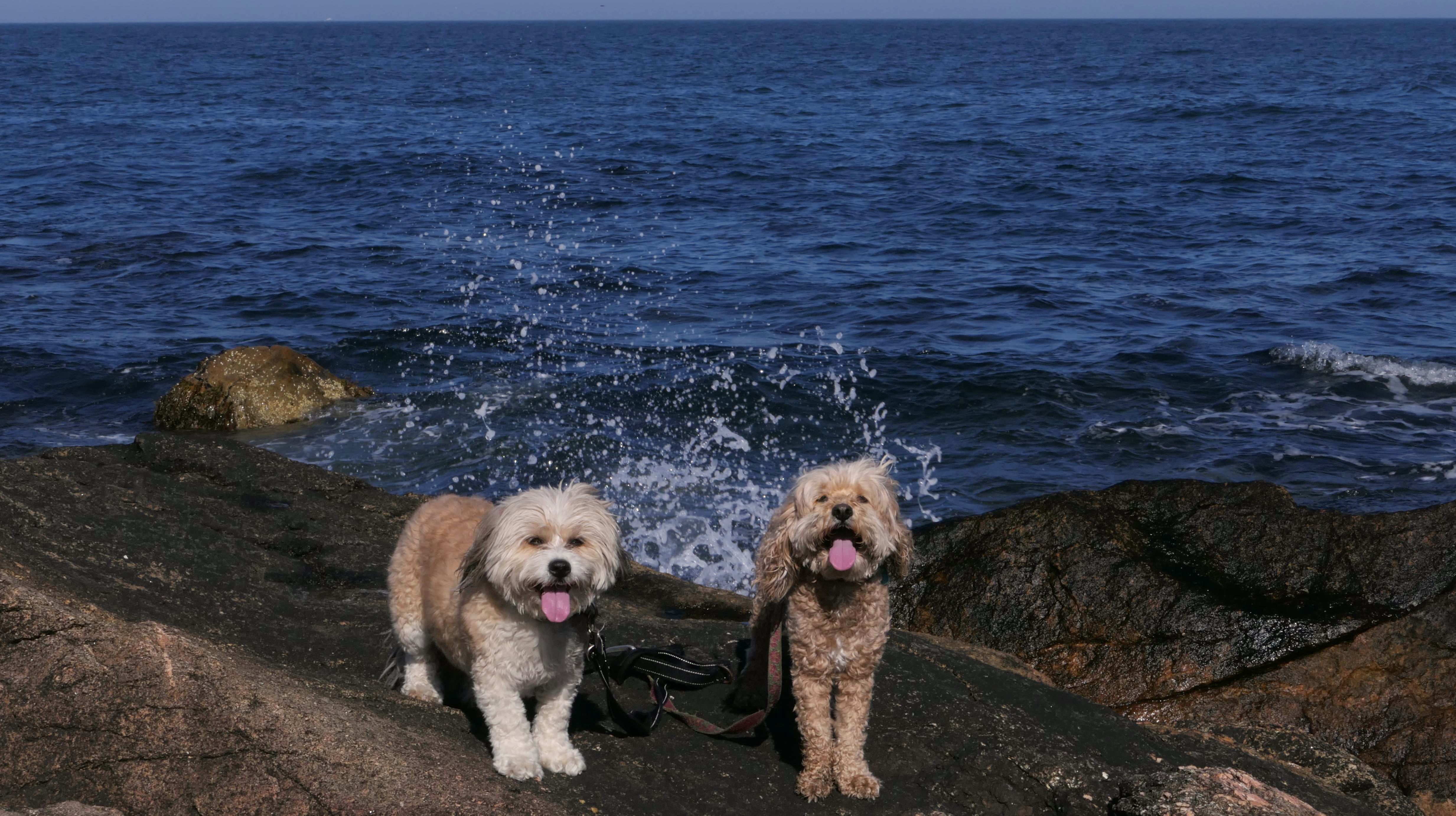
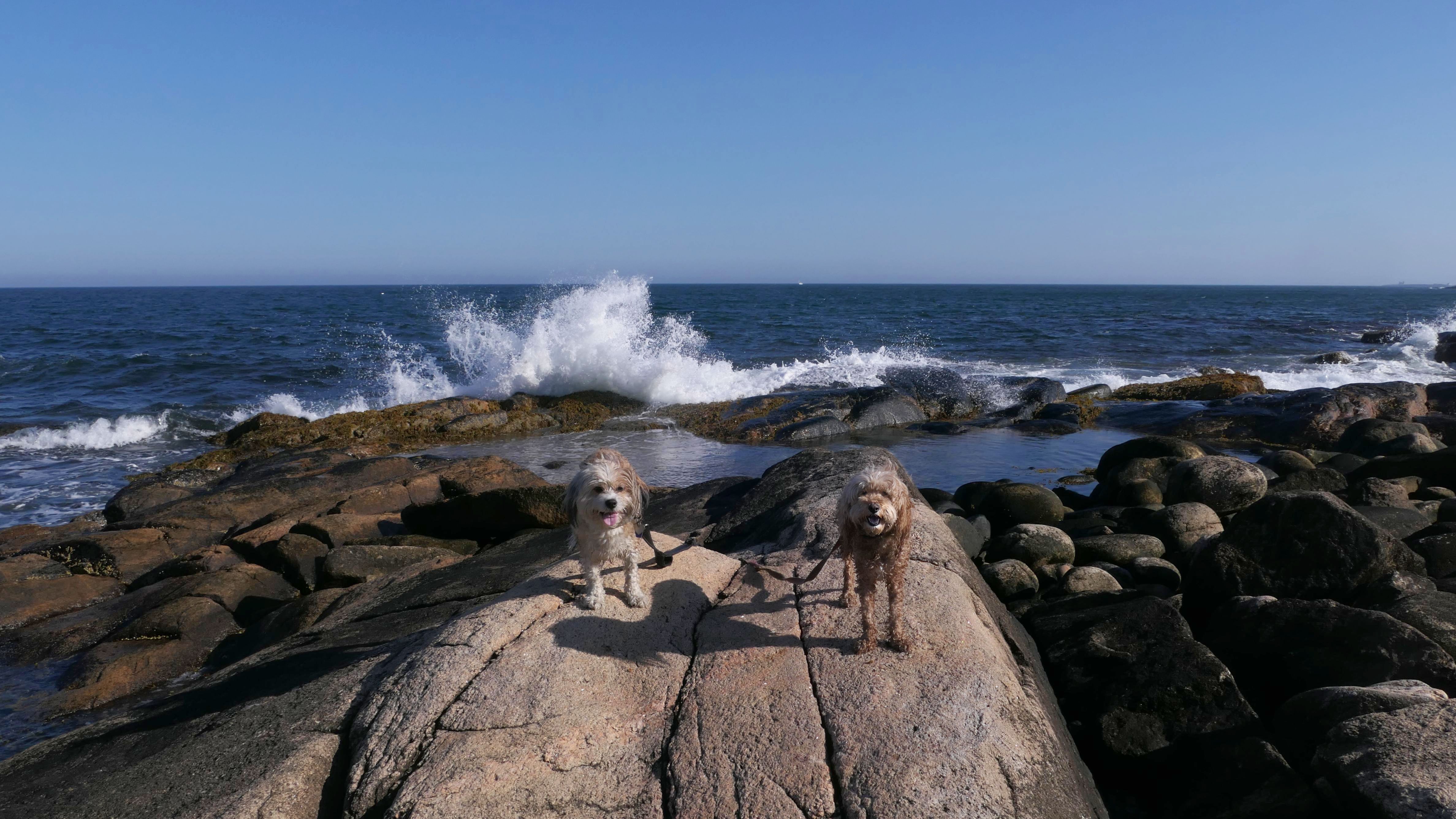
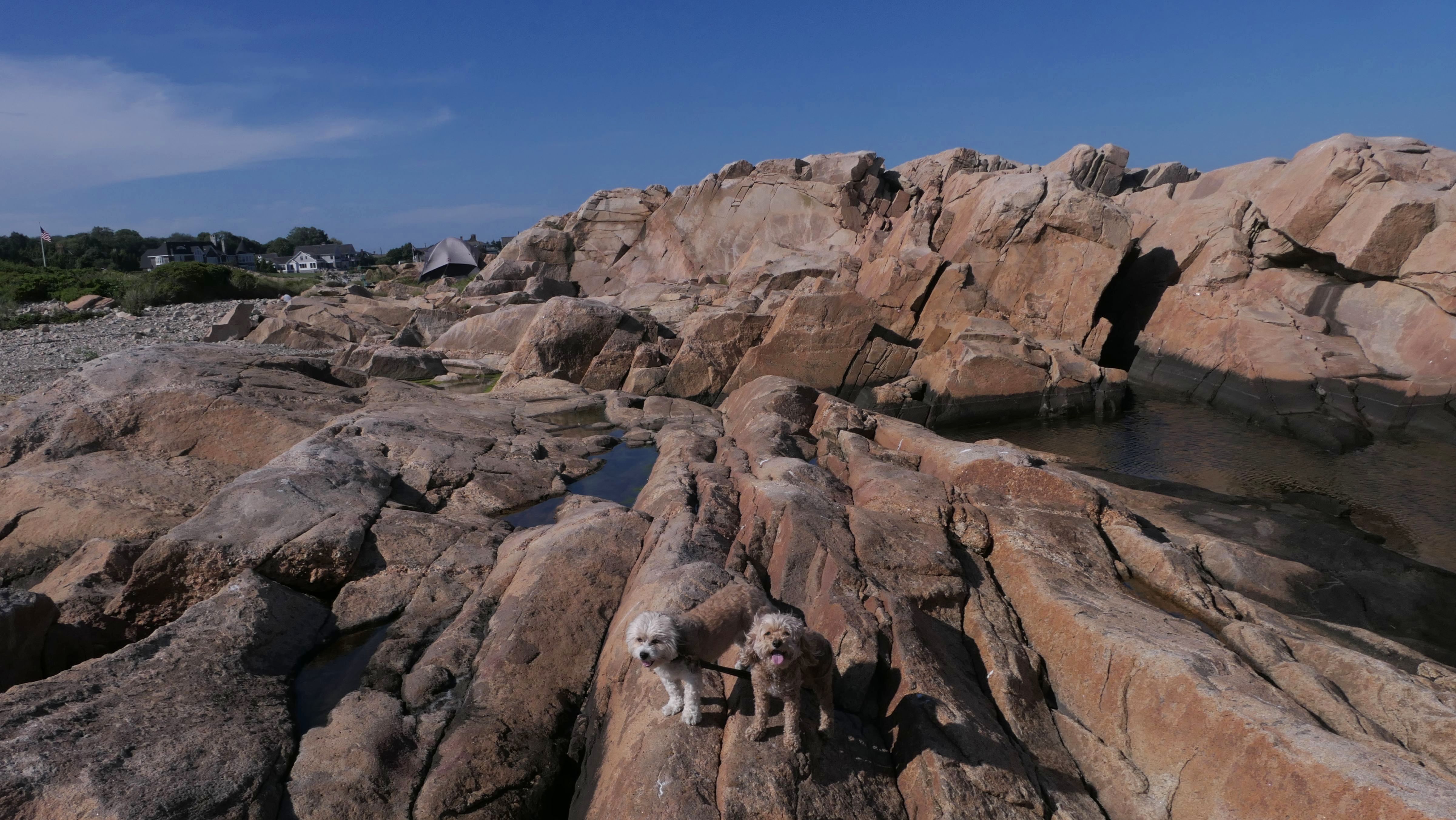
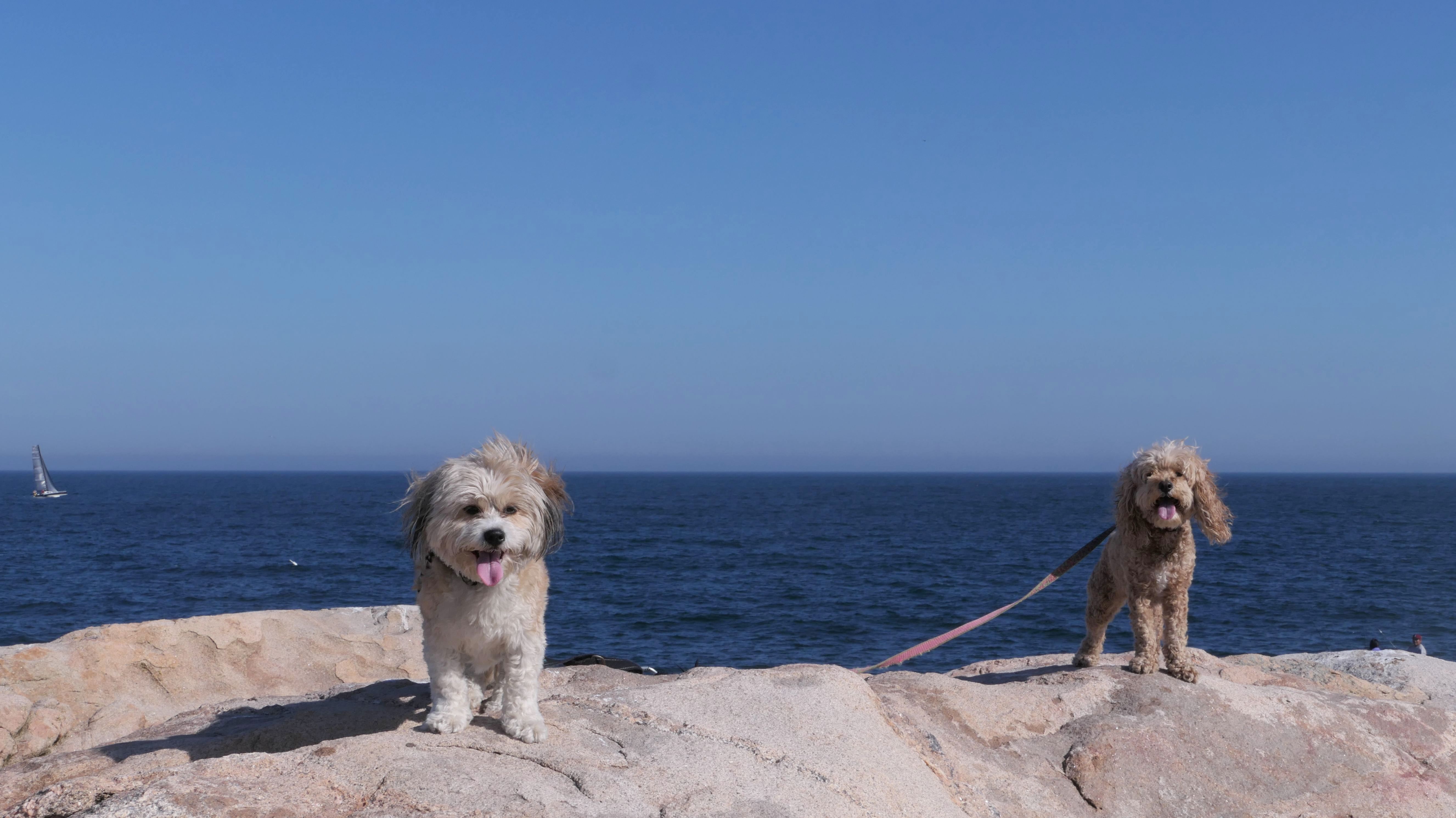
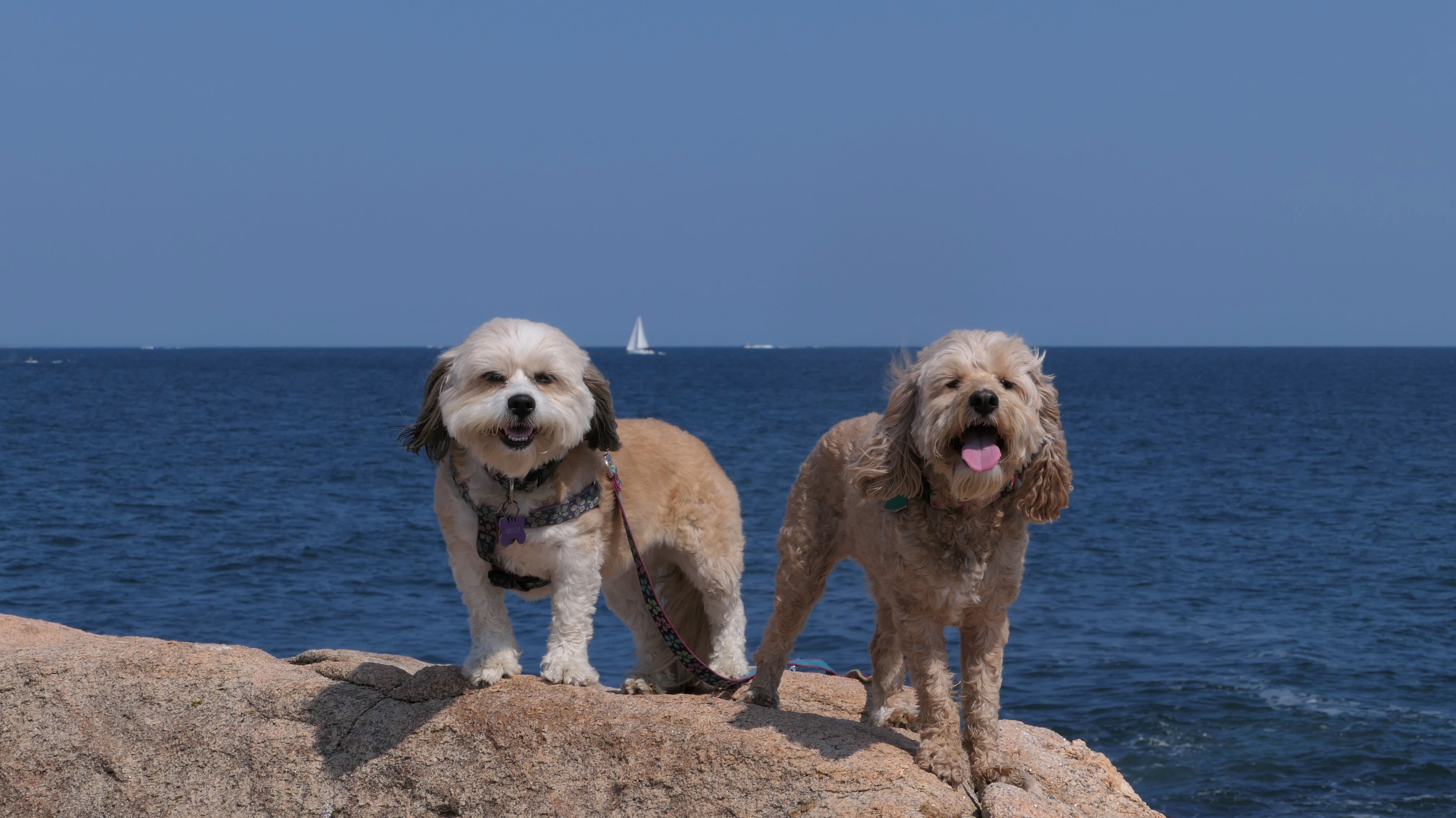
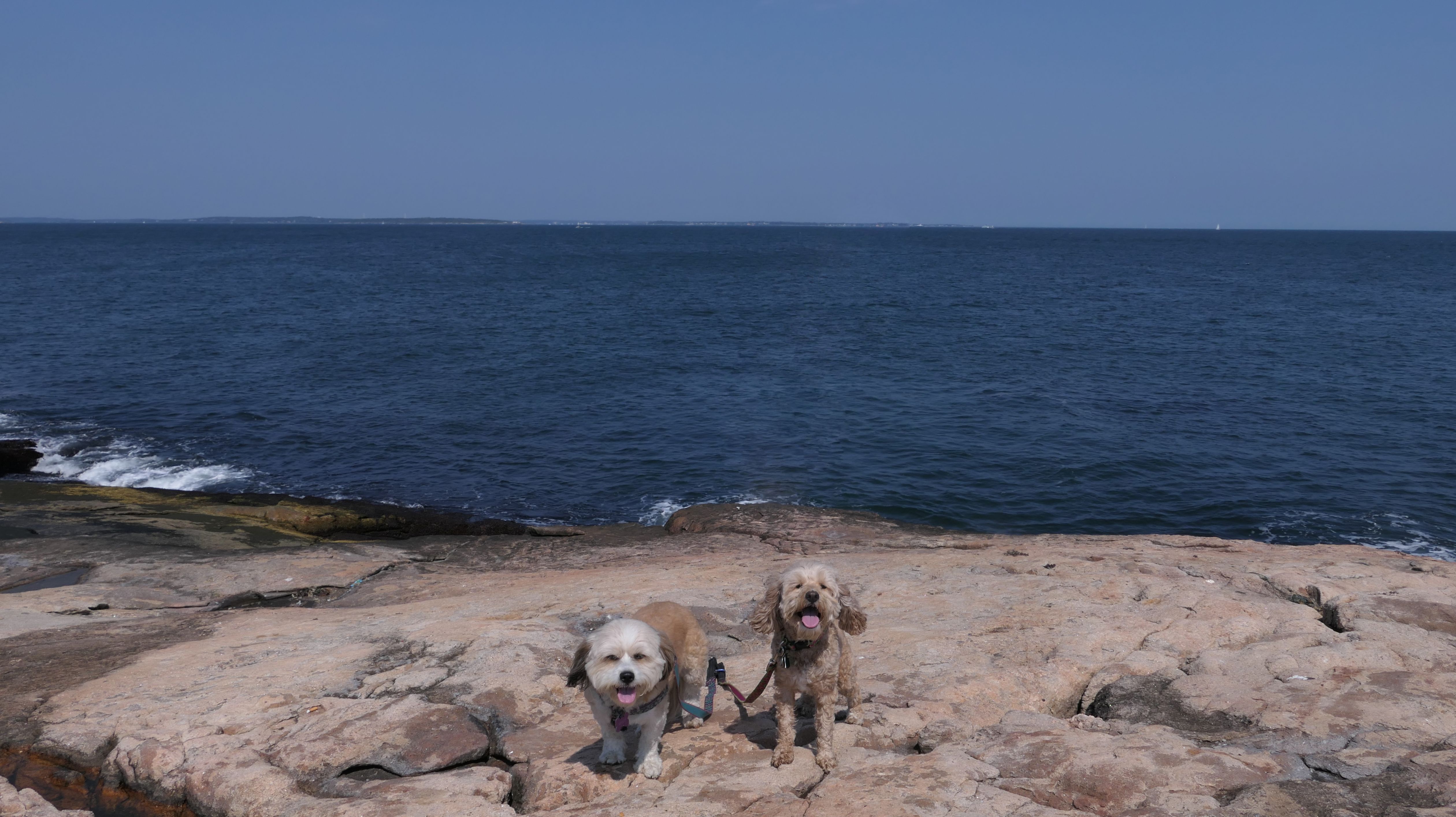
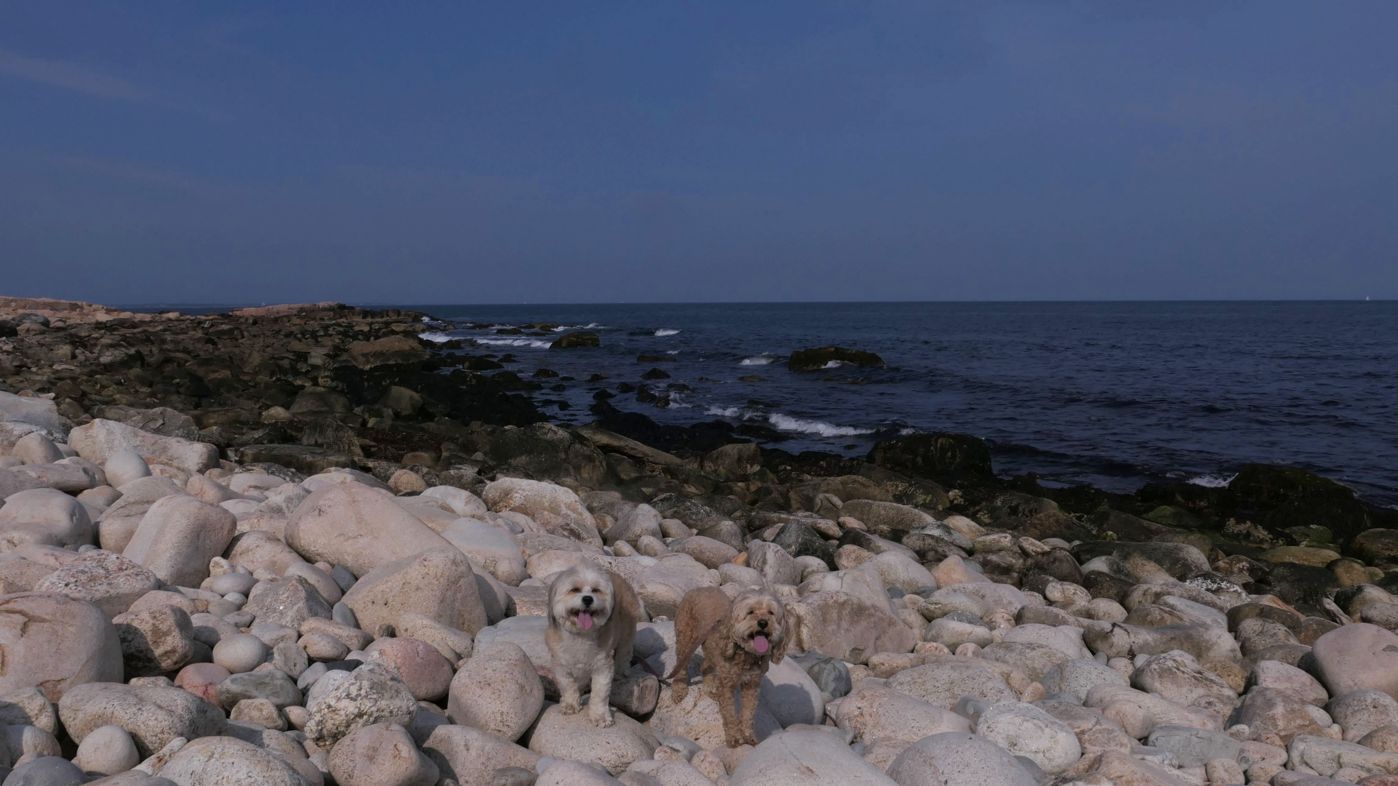
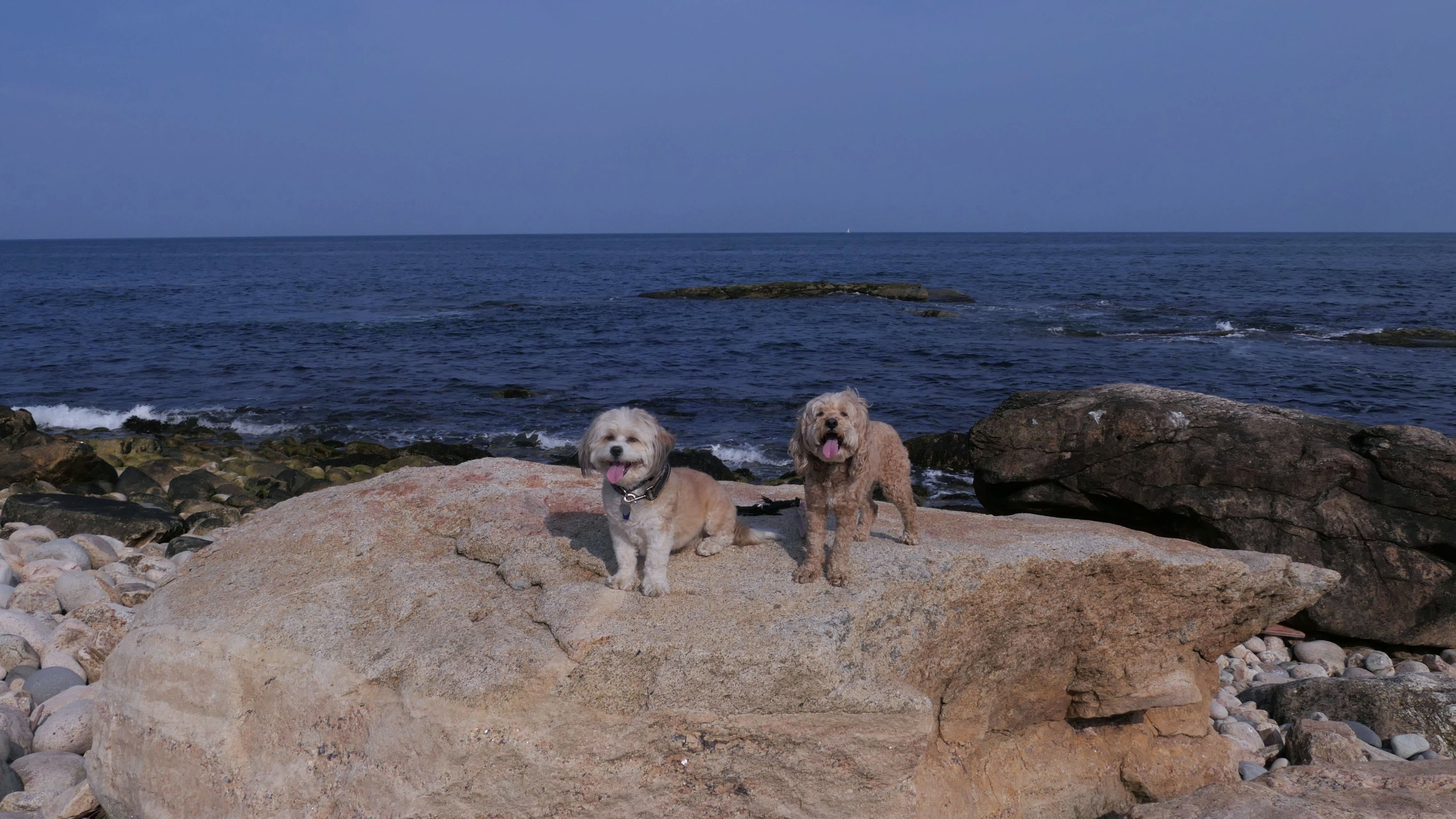
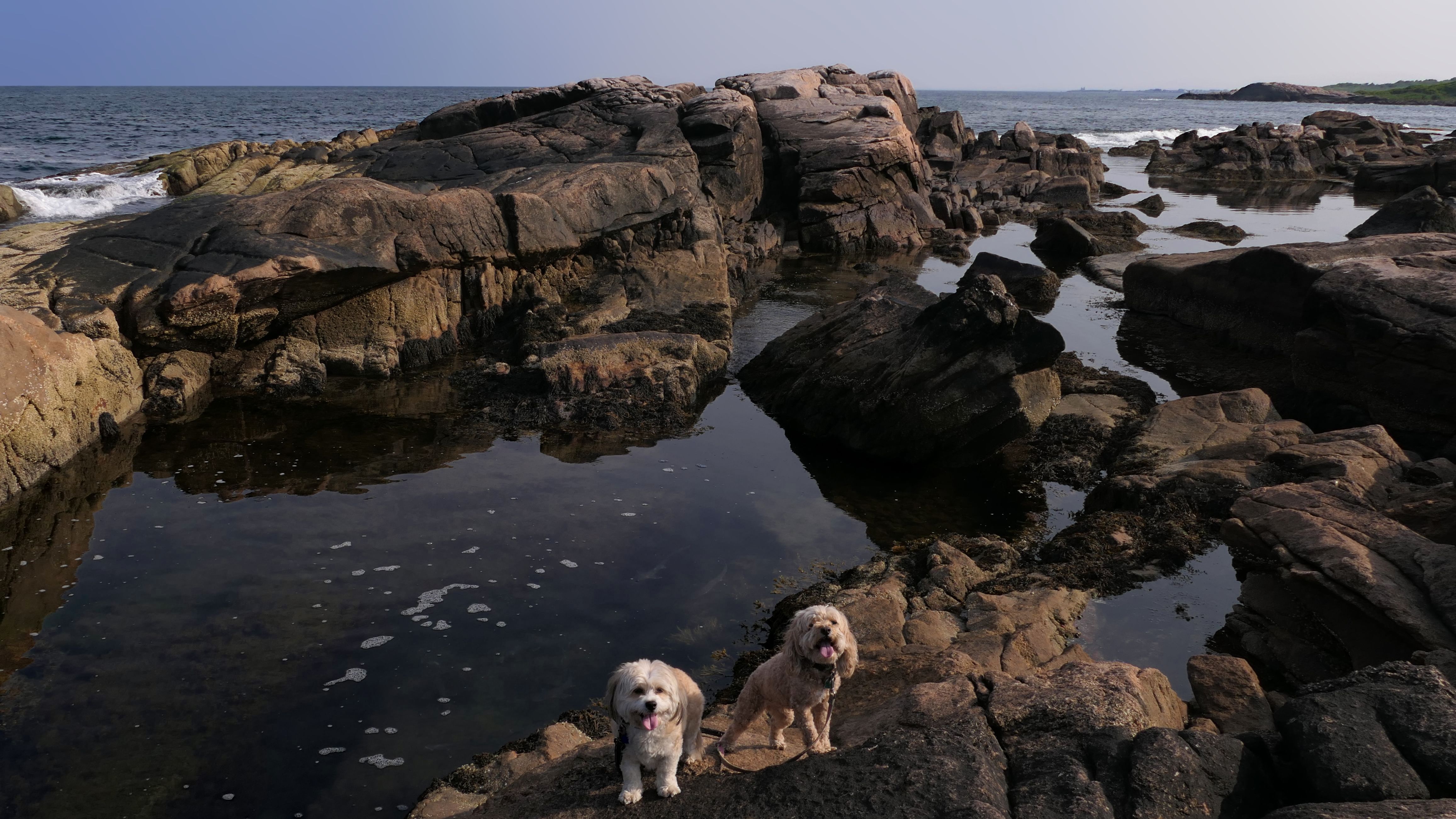
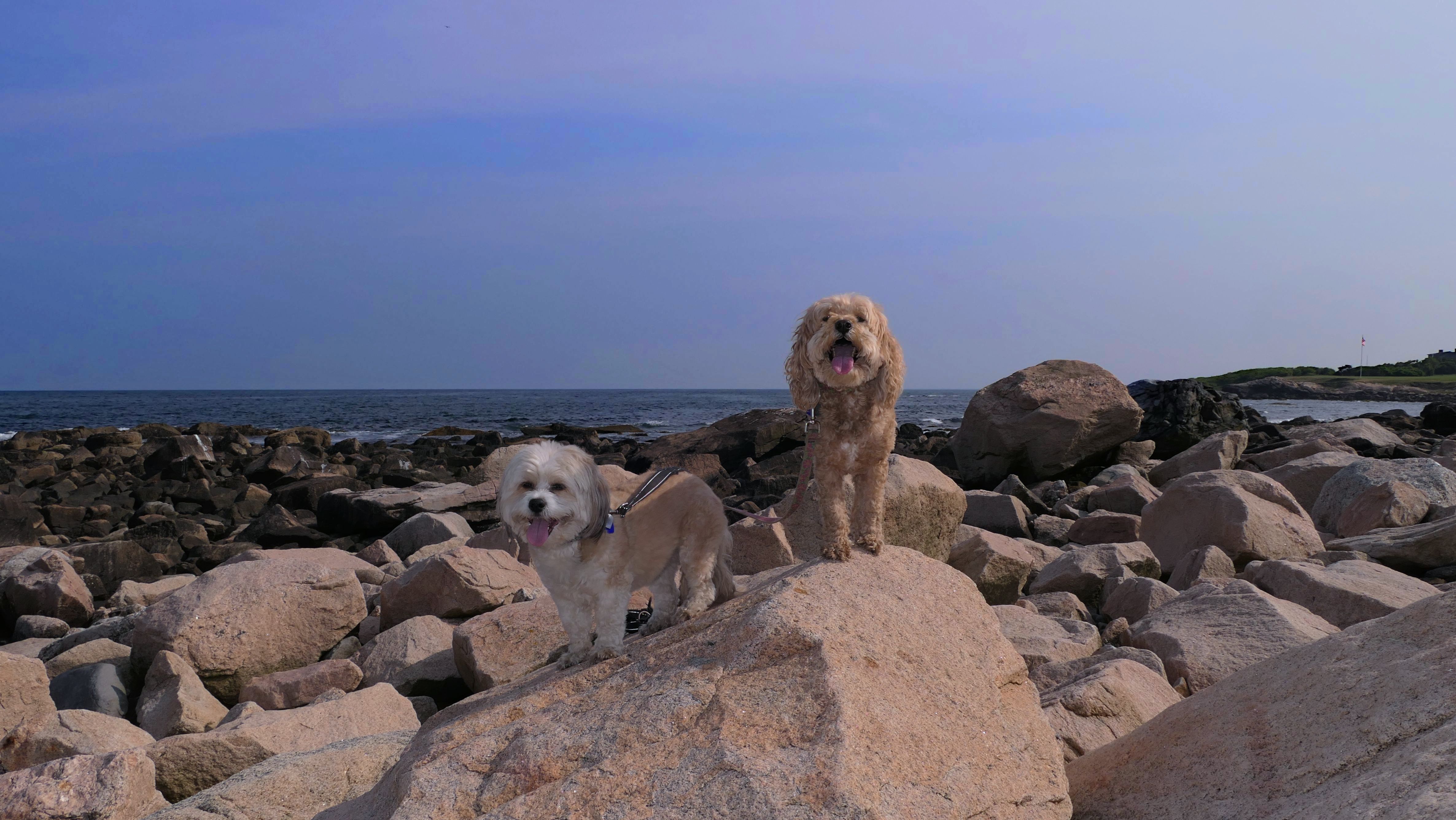
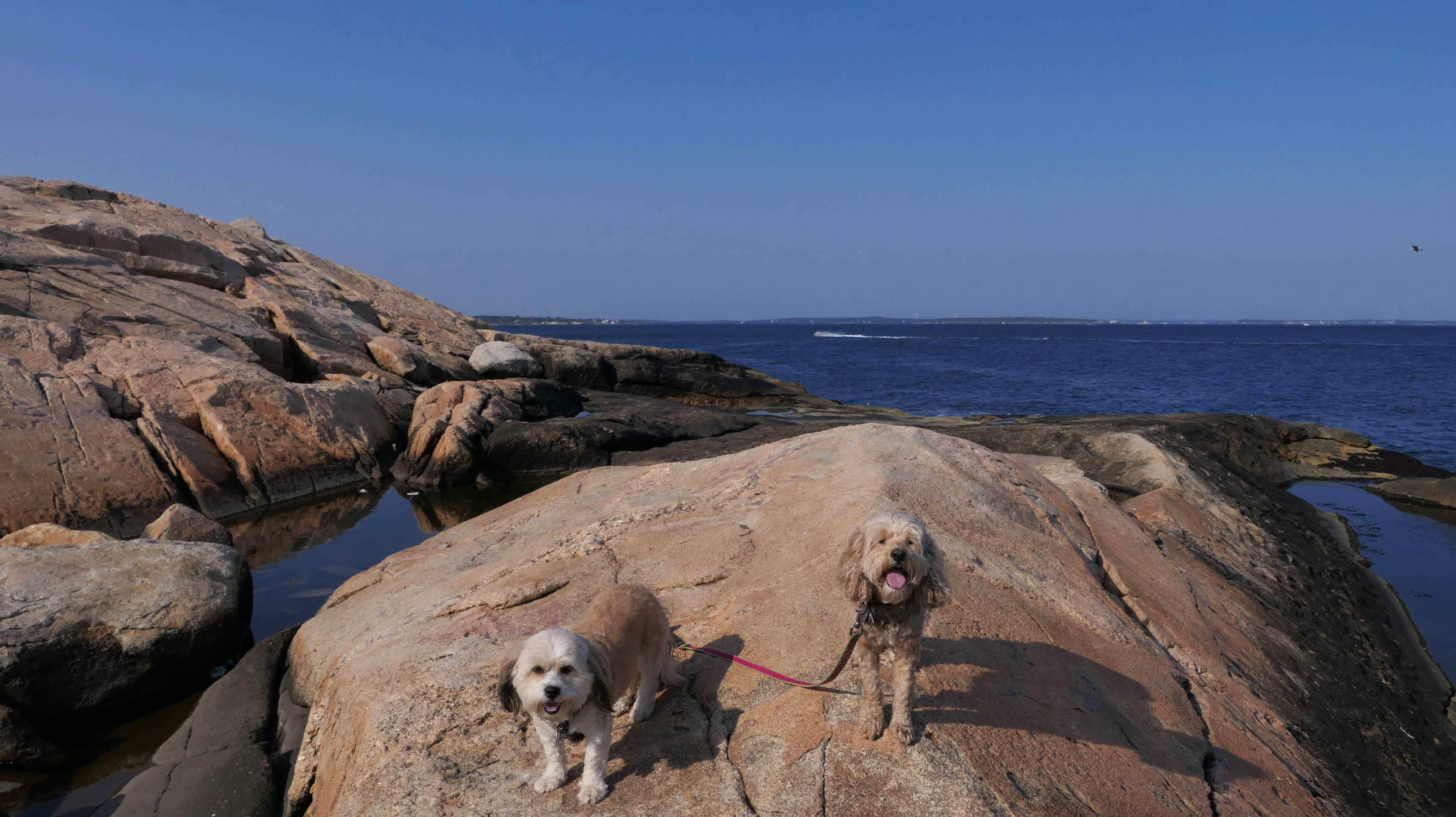
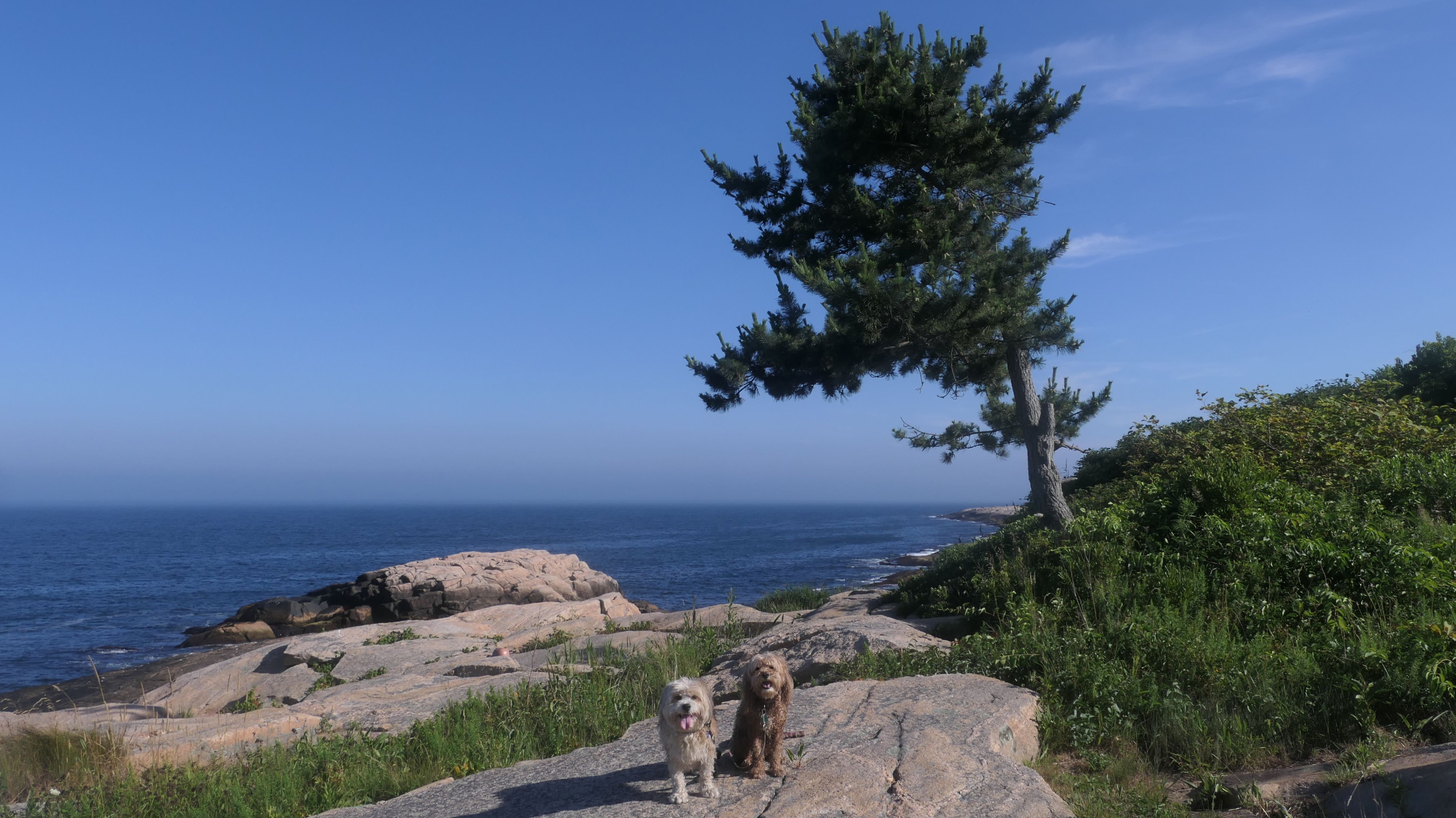
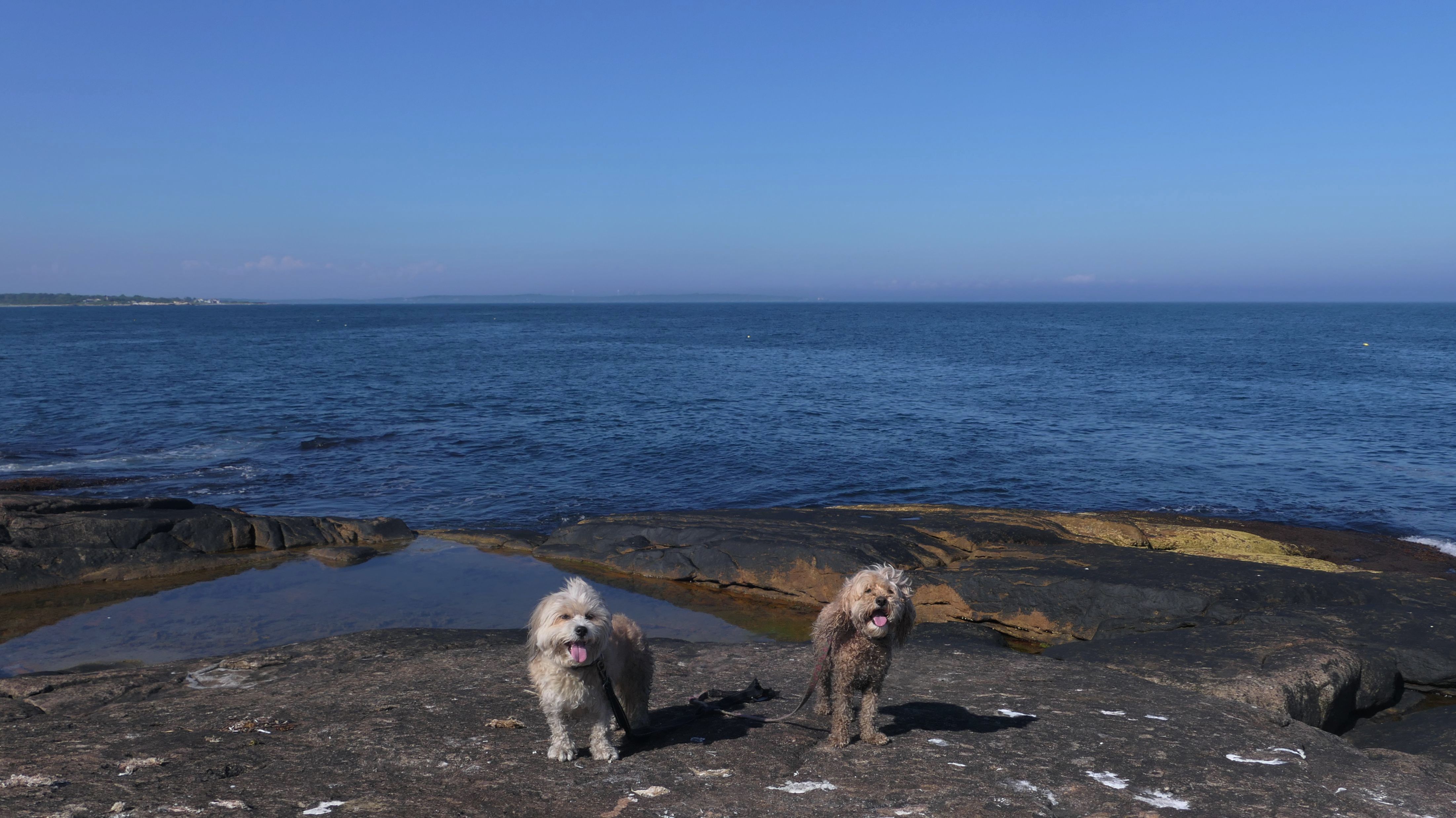
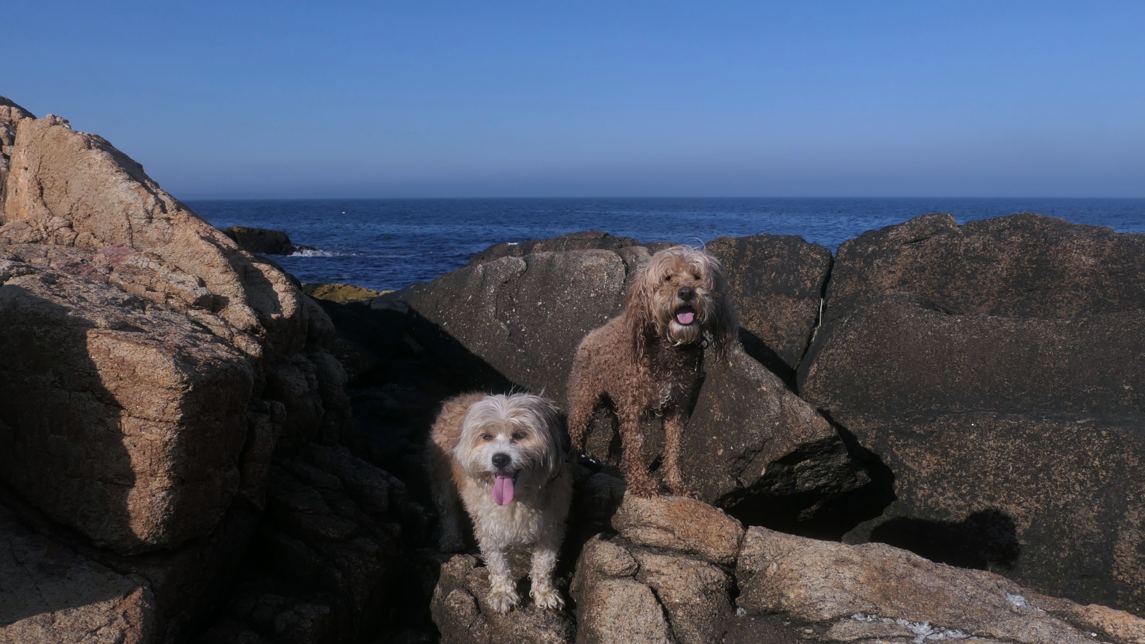
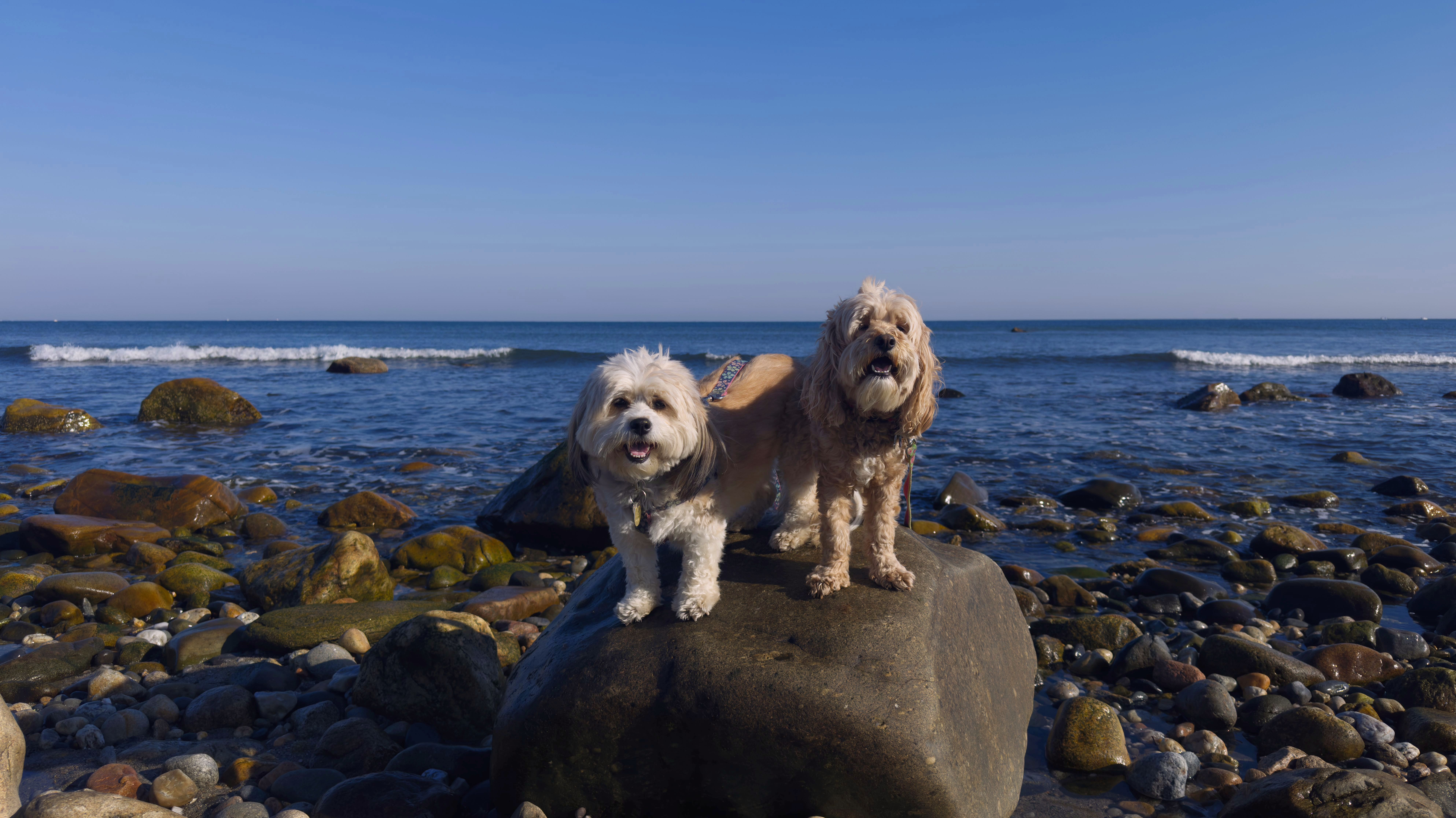
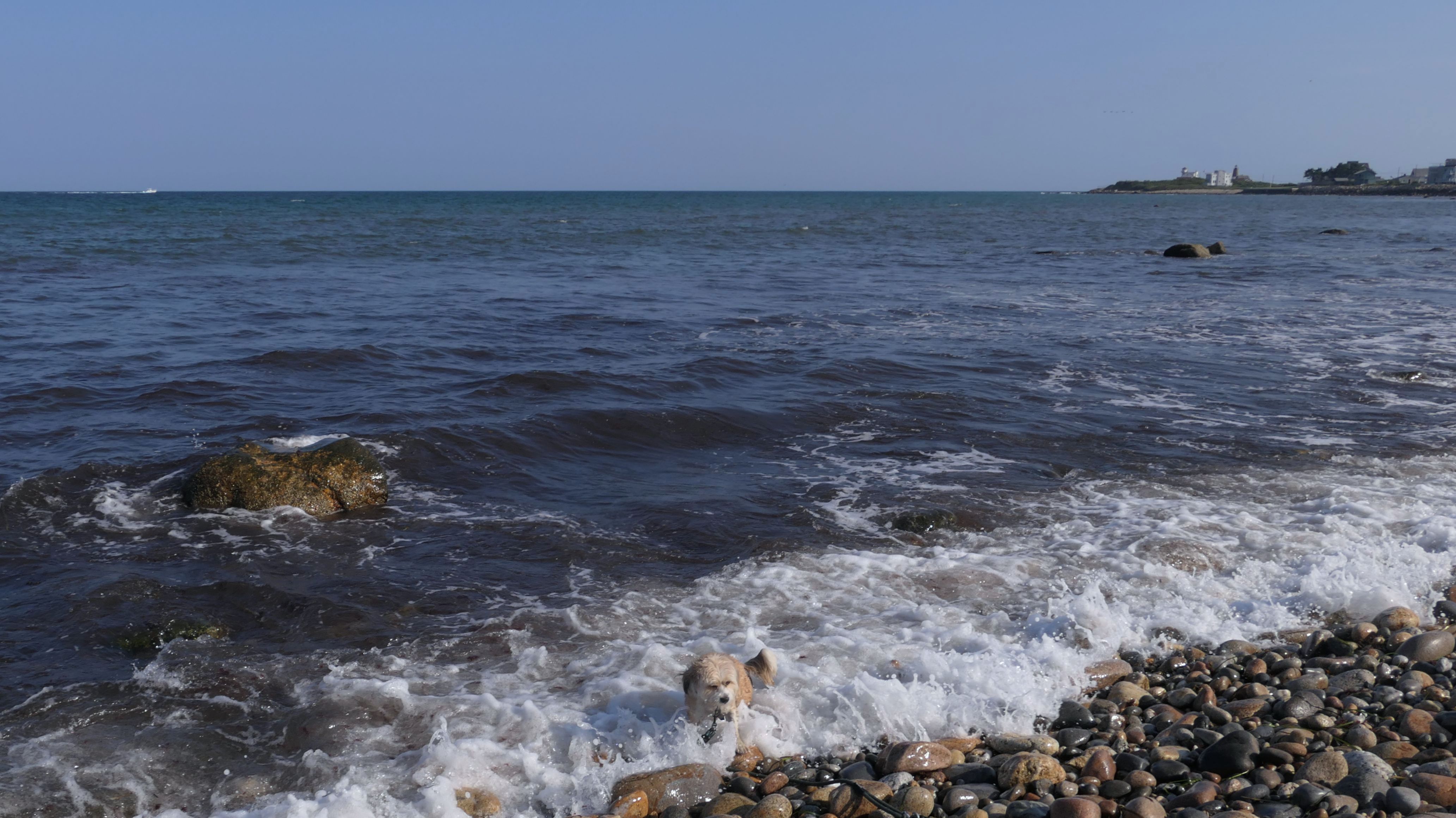
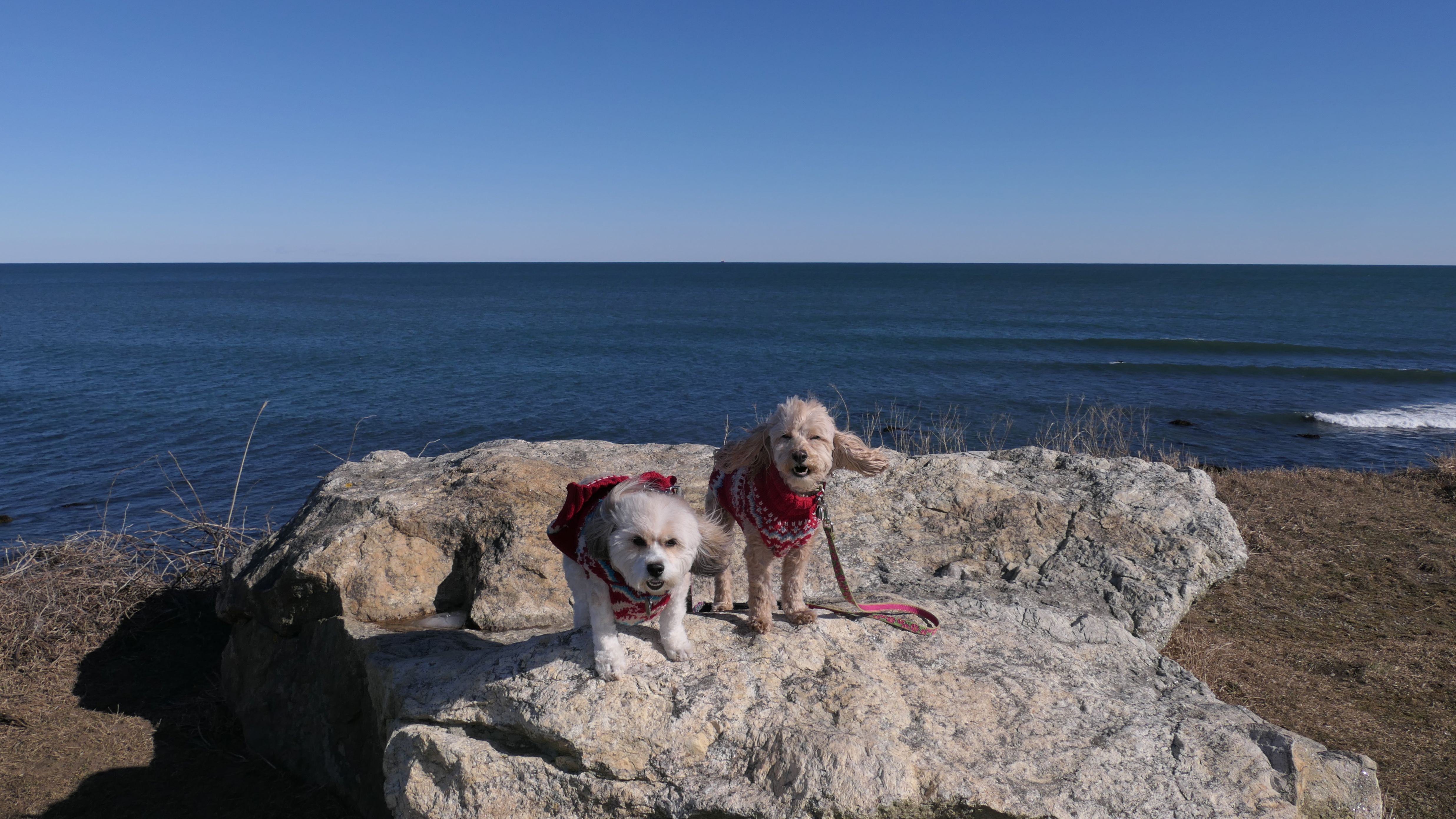
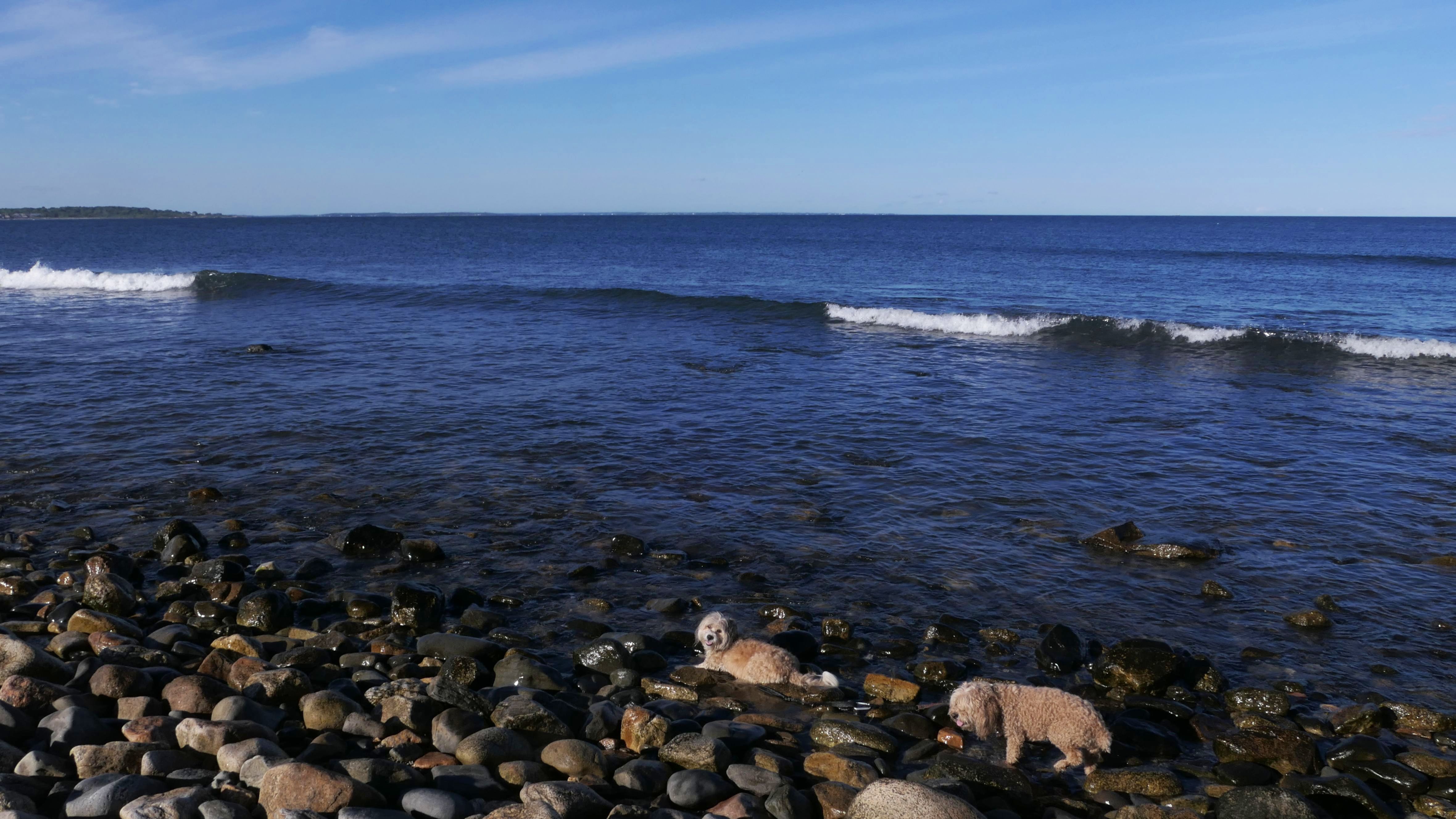
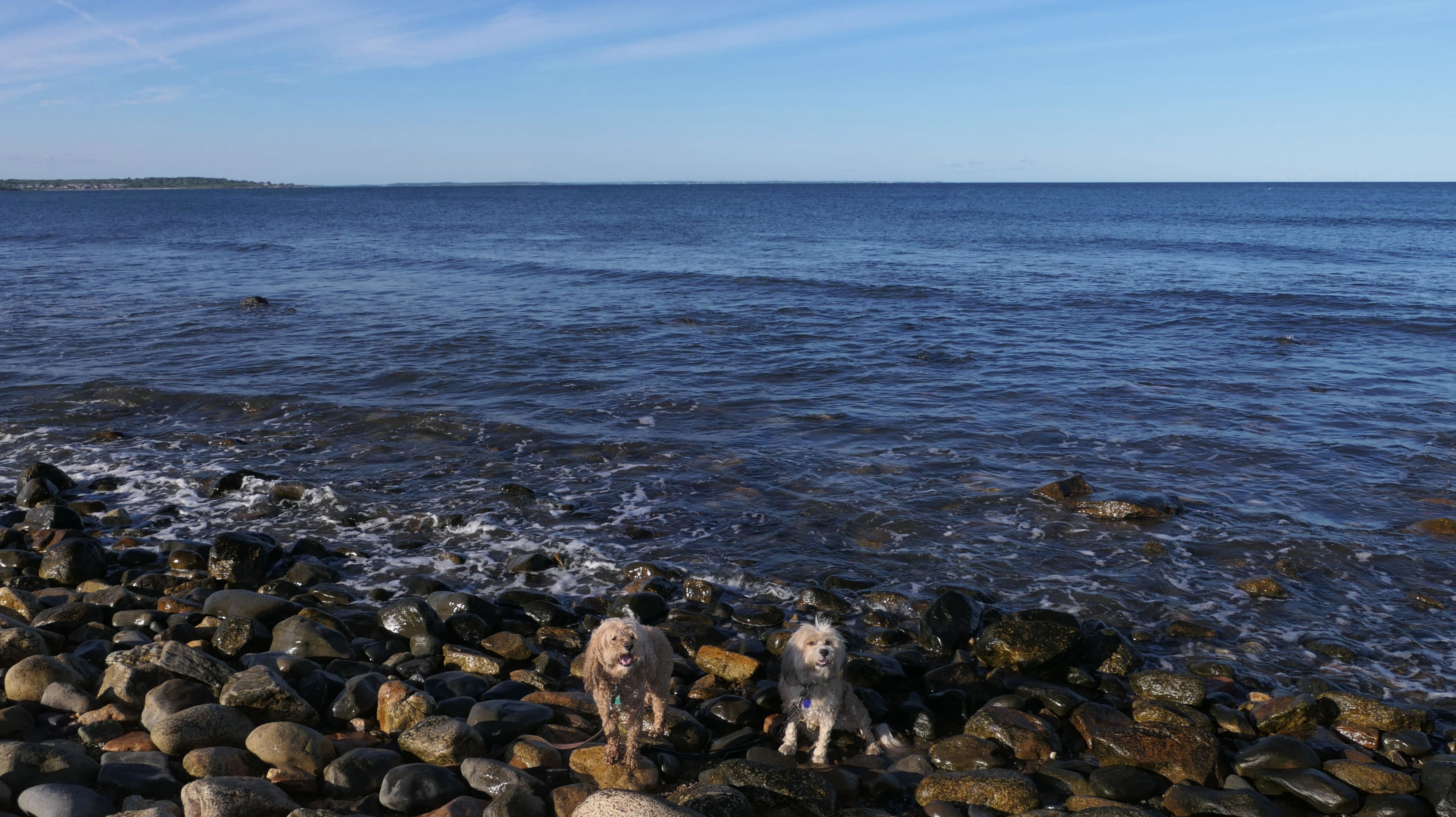
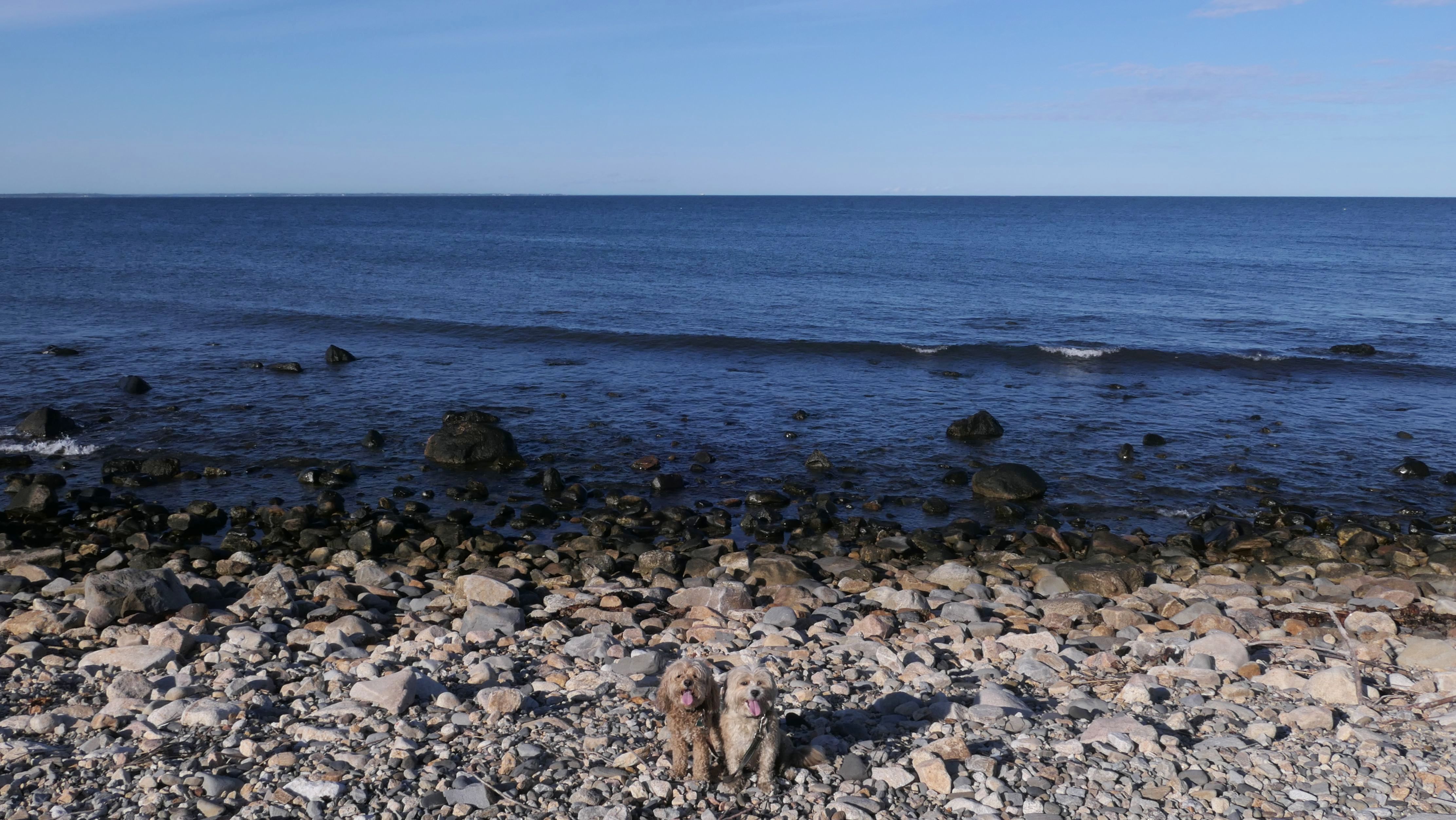
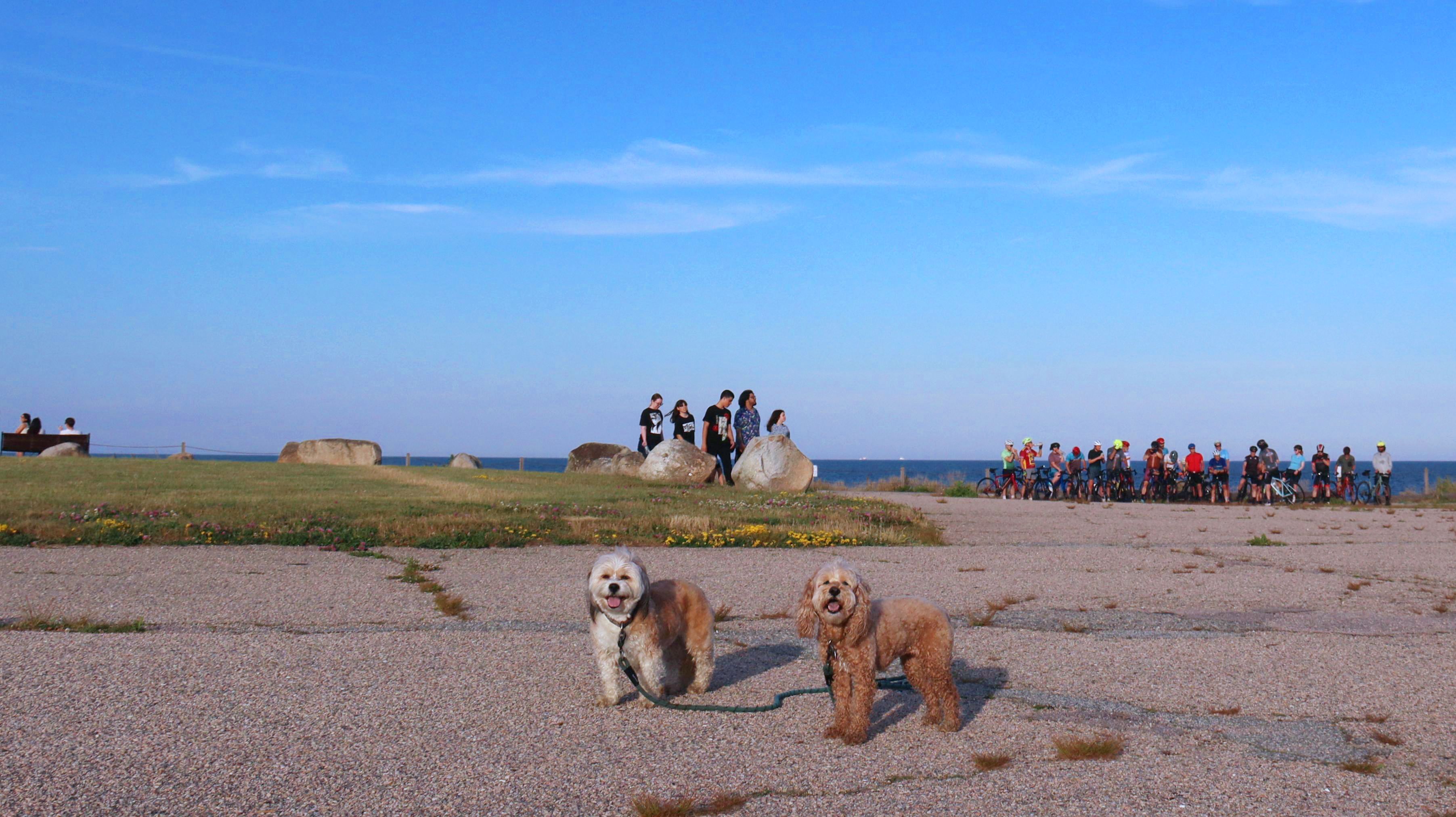
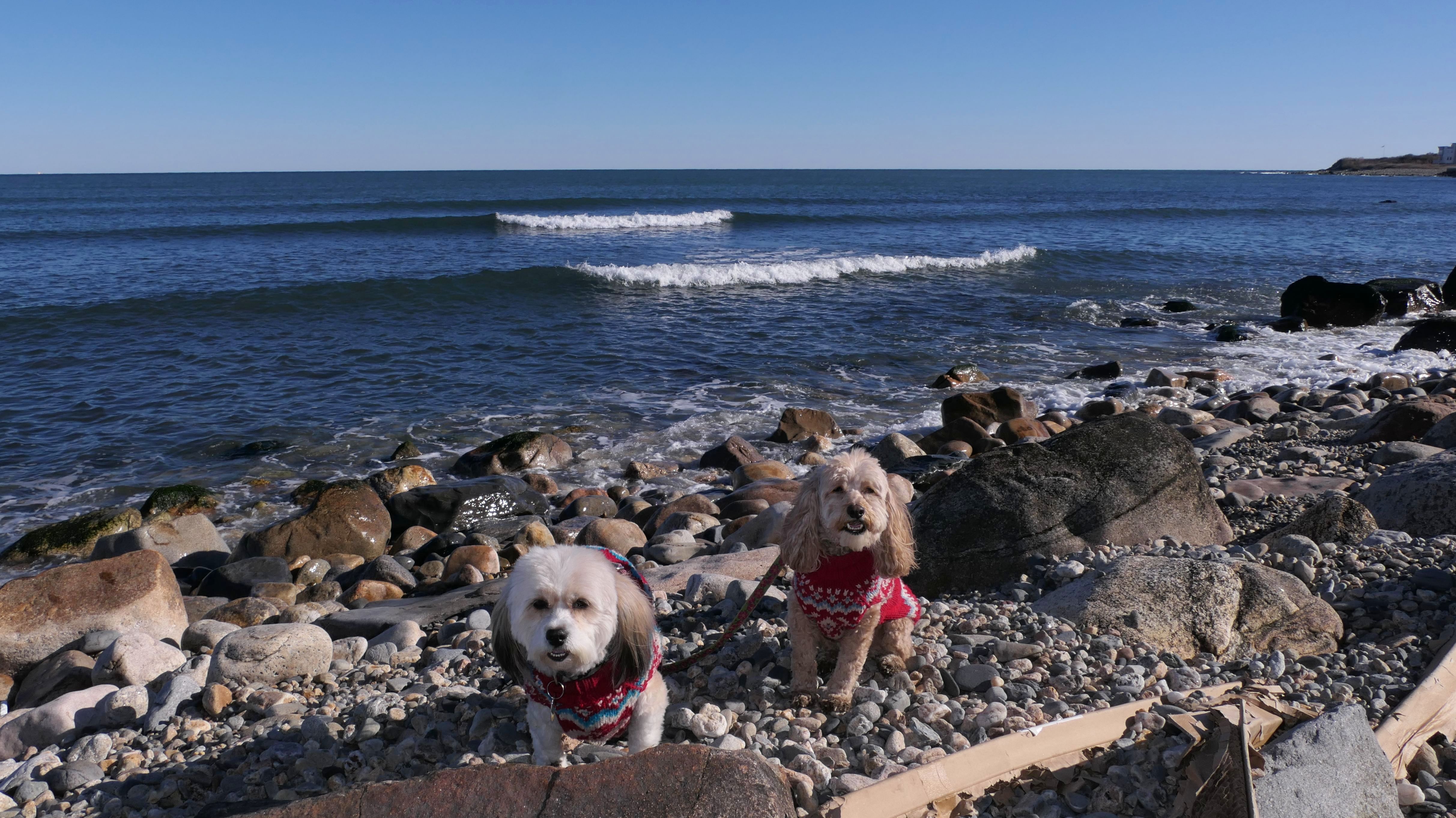
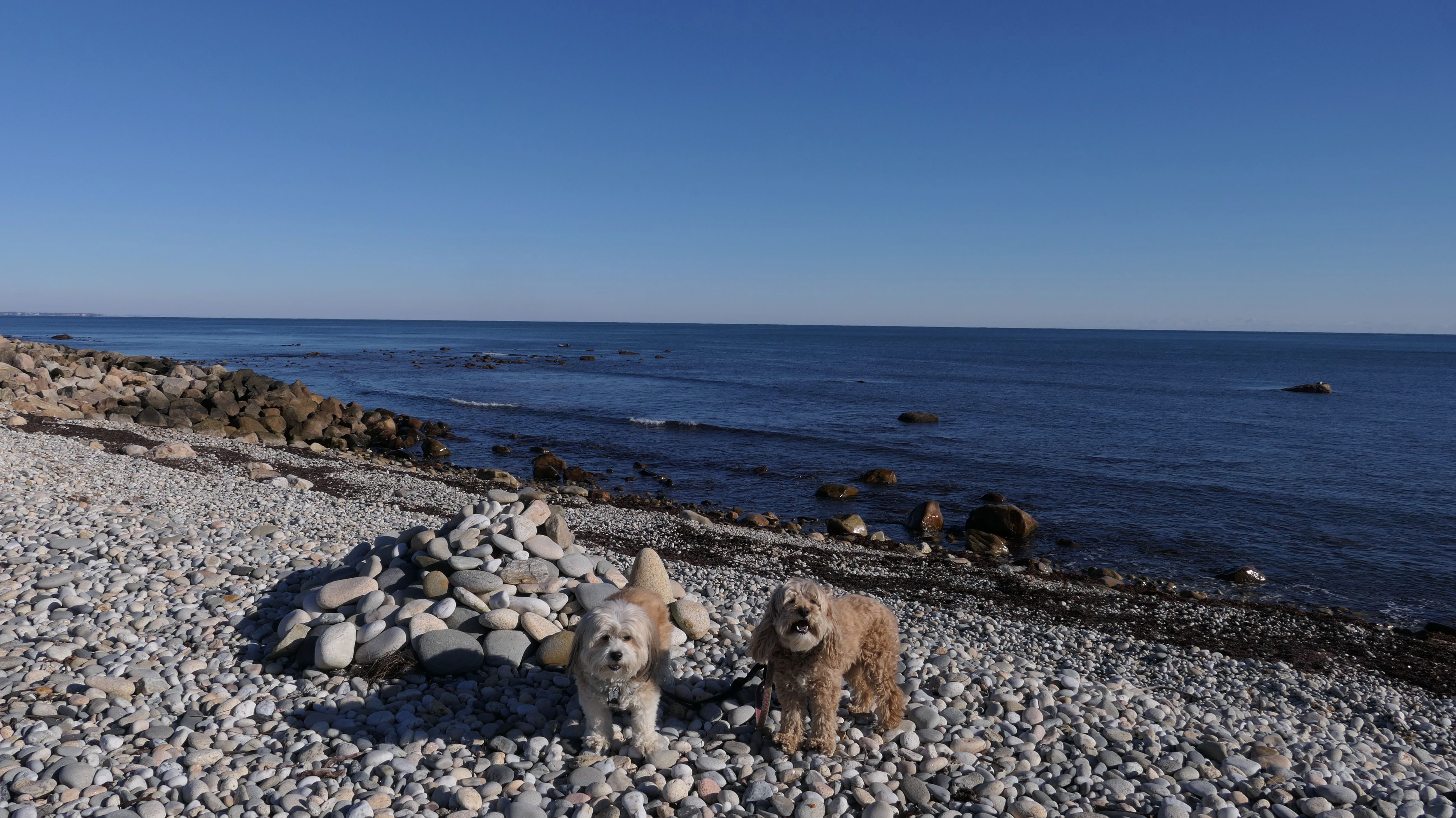
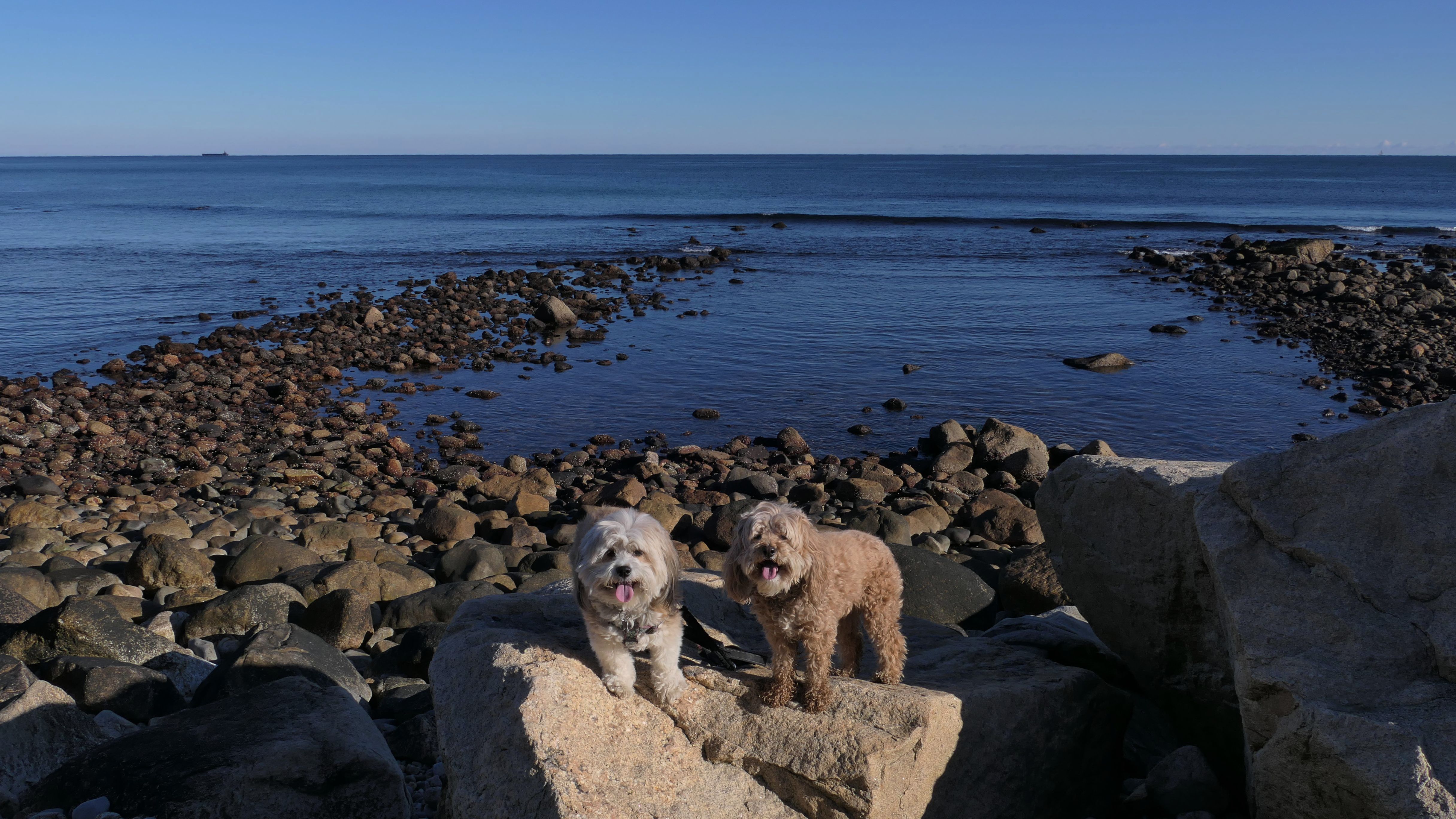
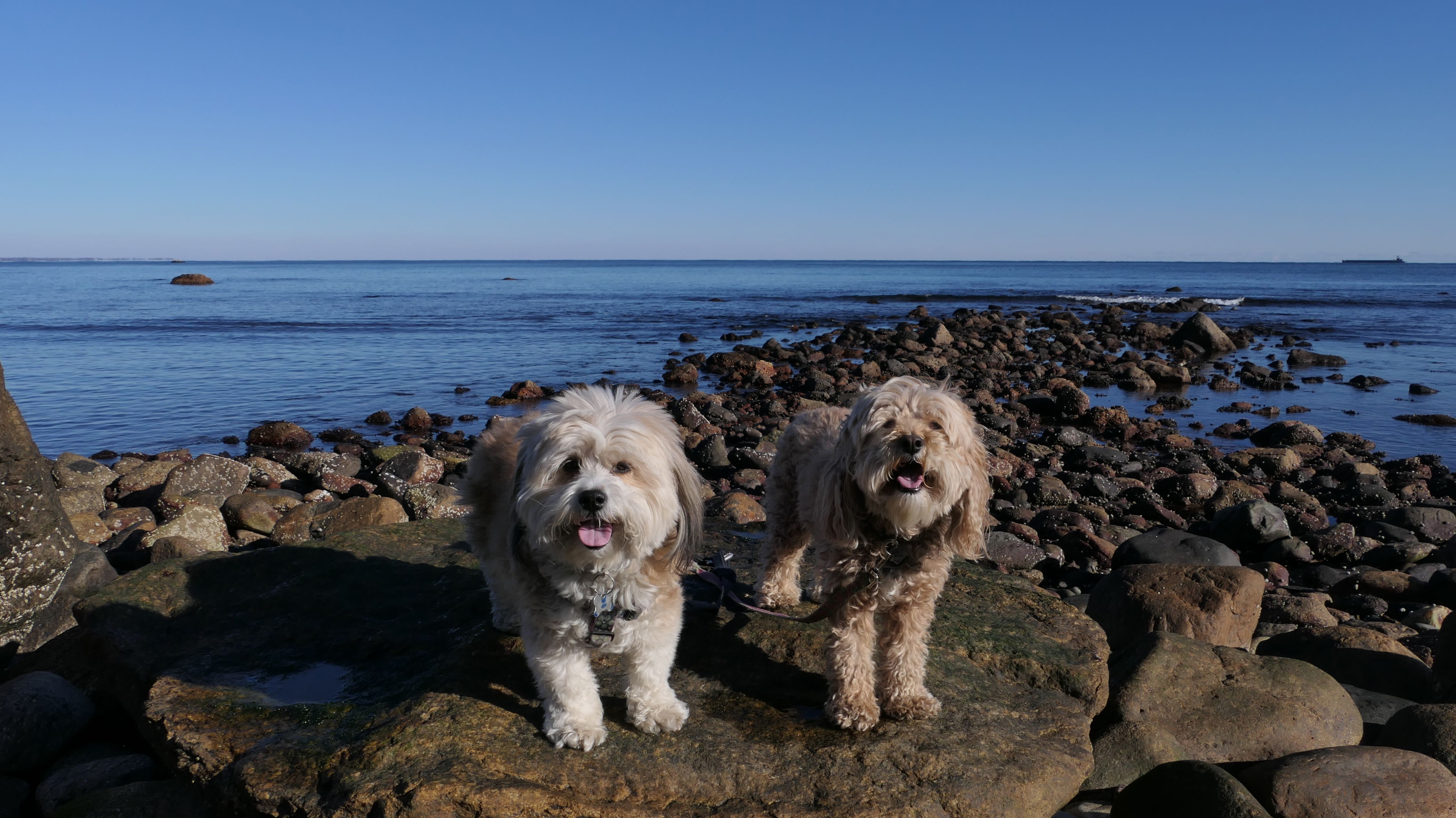
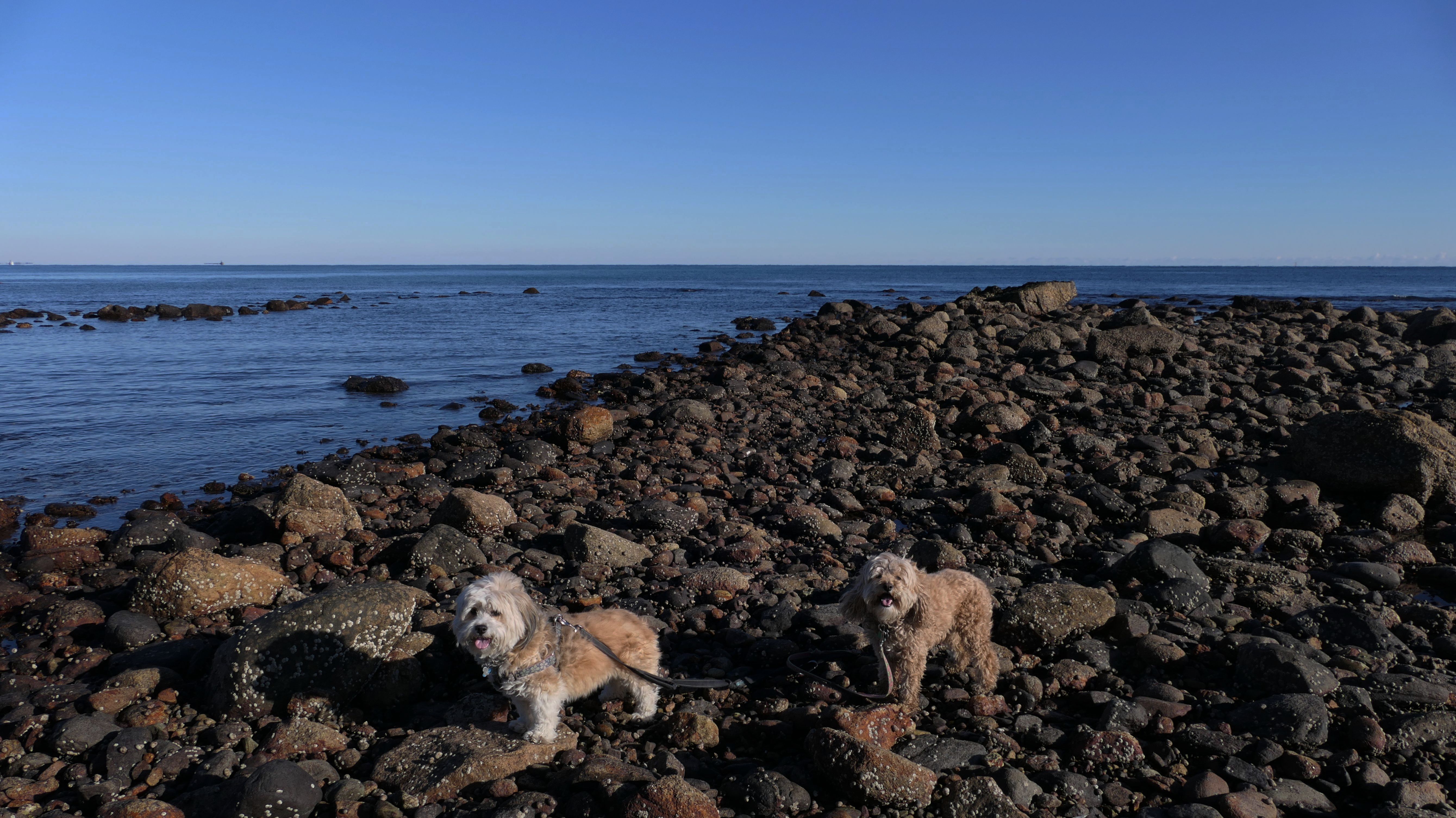
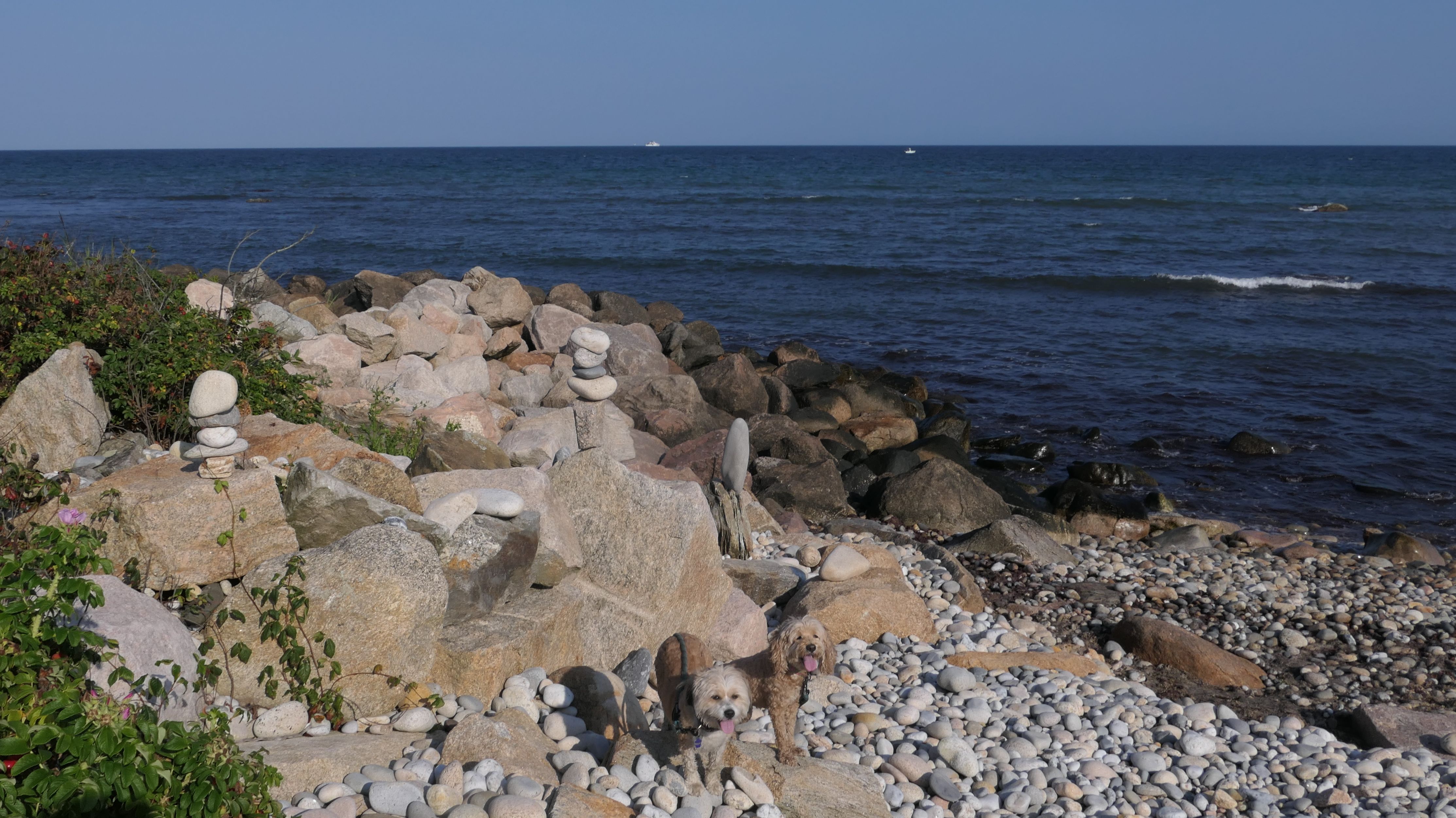
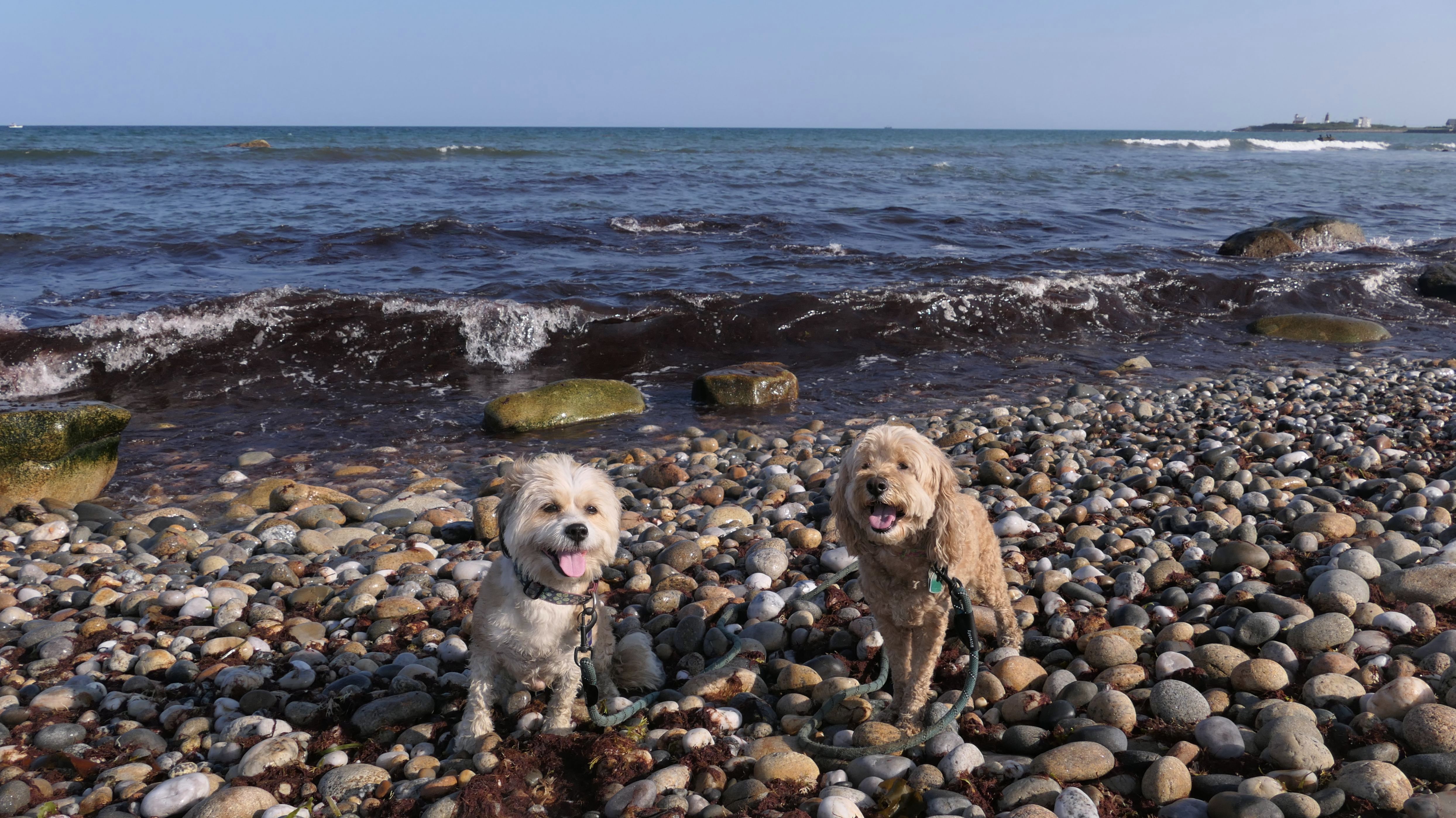
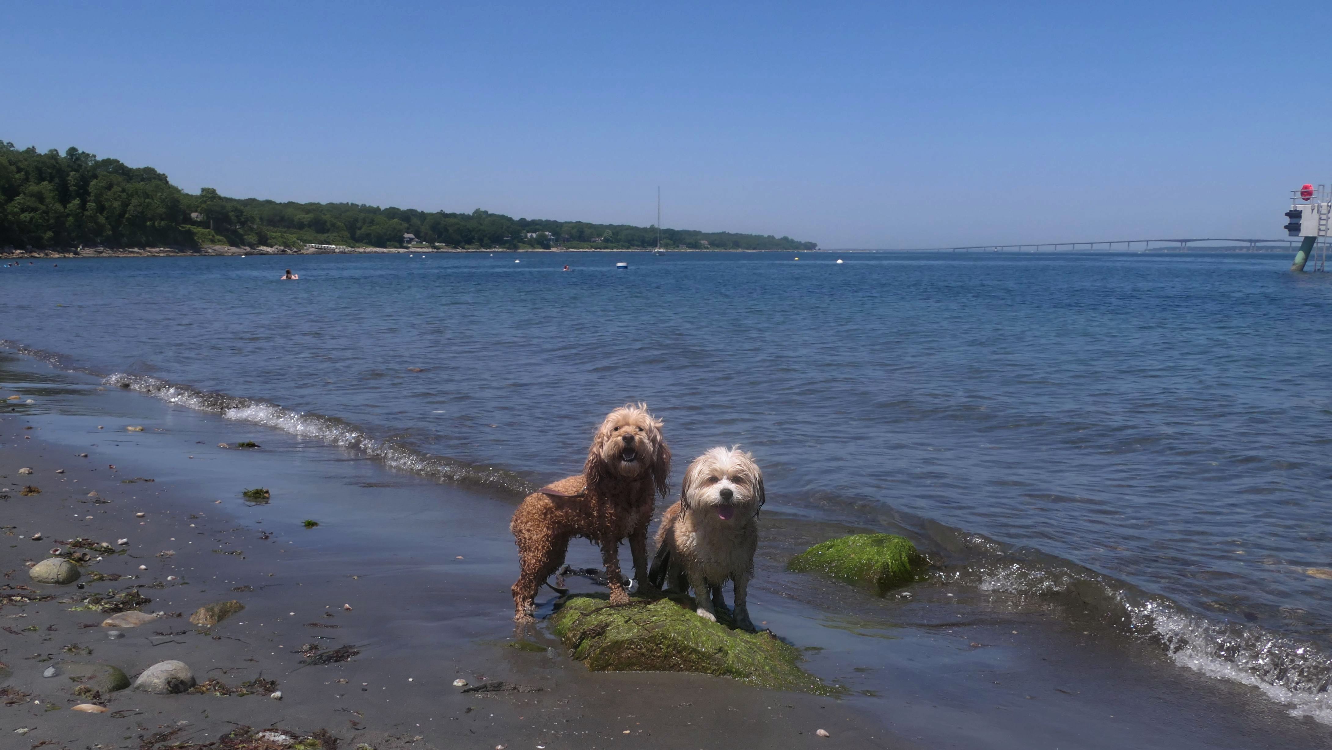
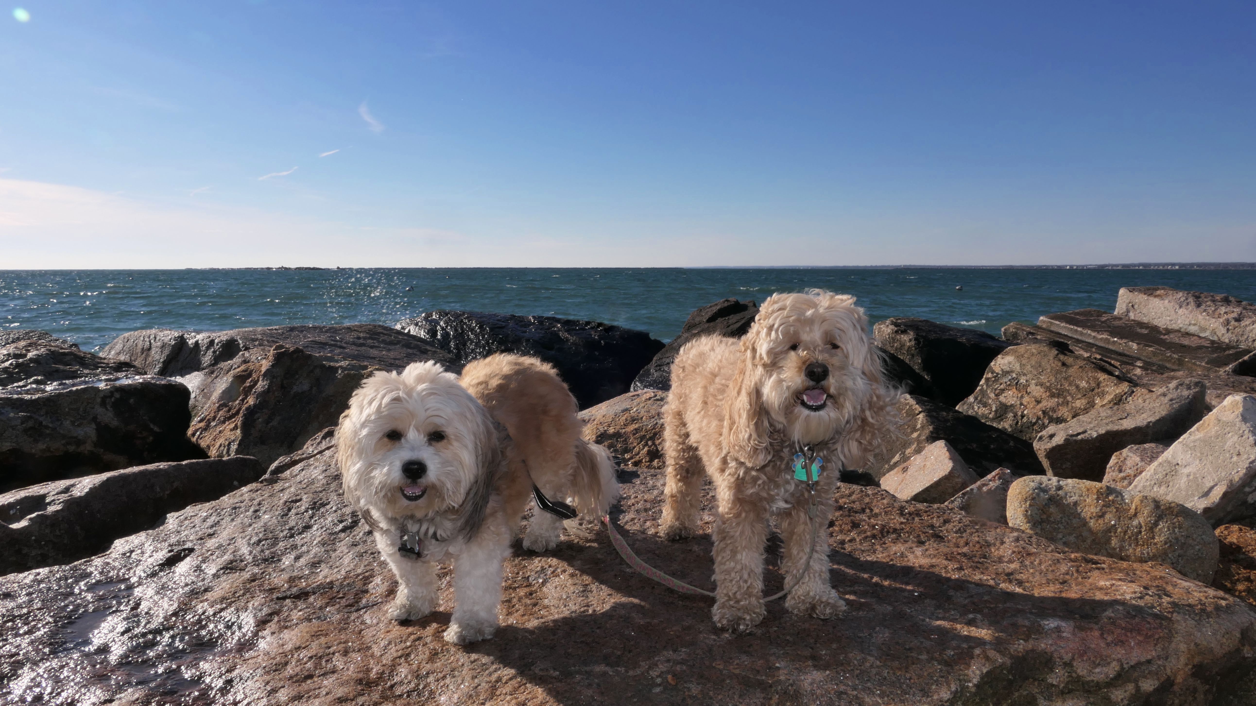
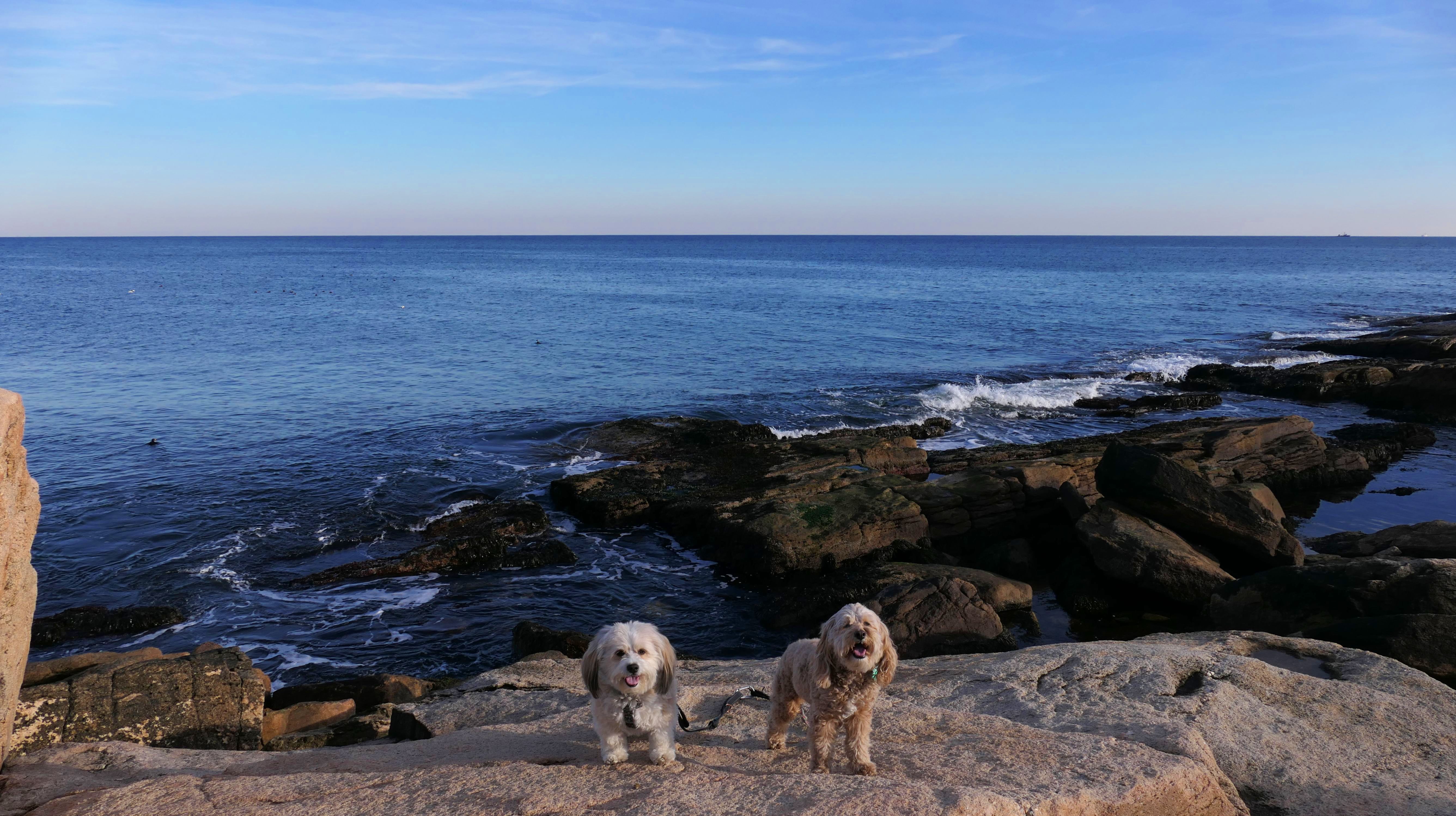
Black Point
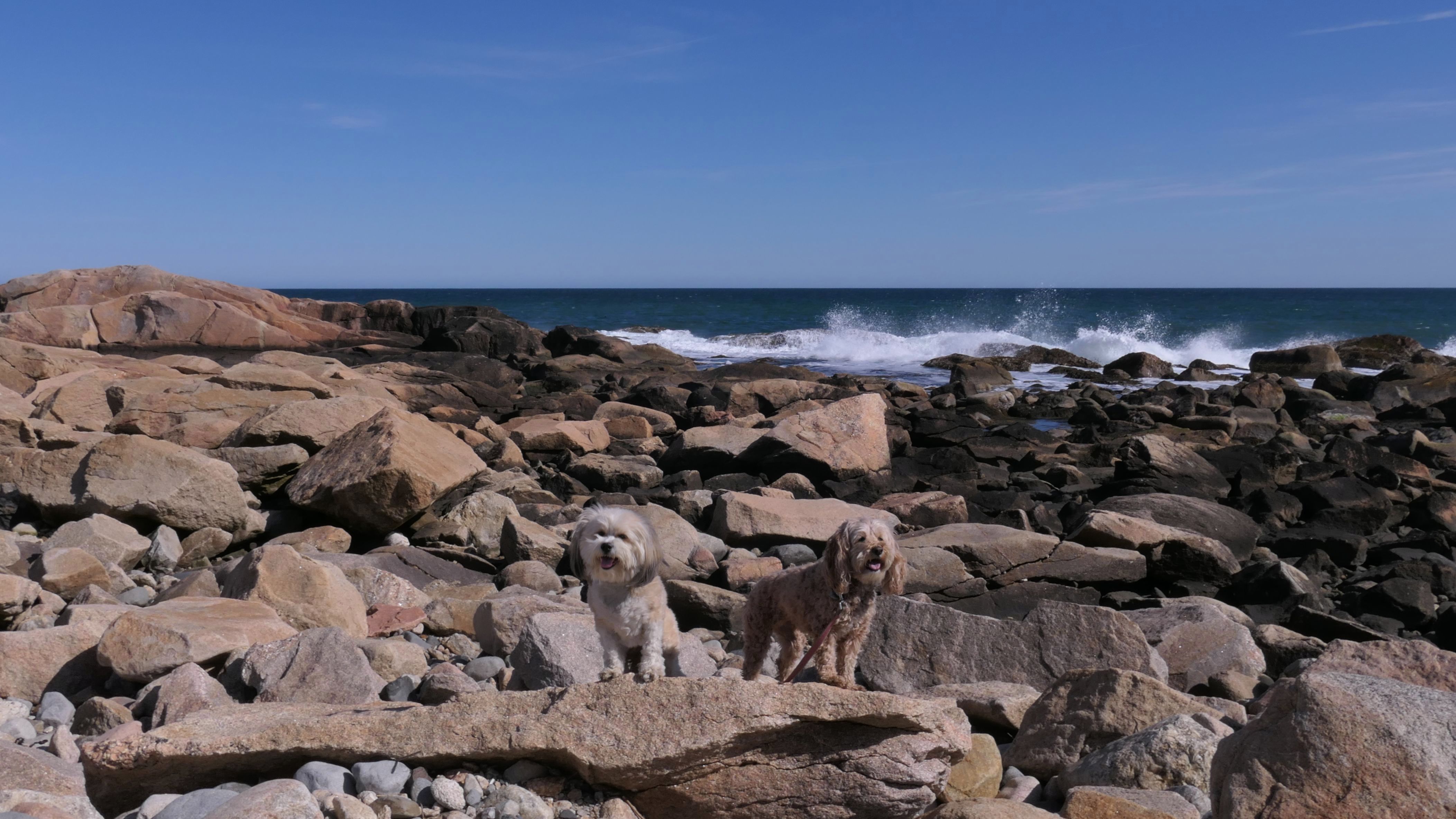
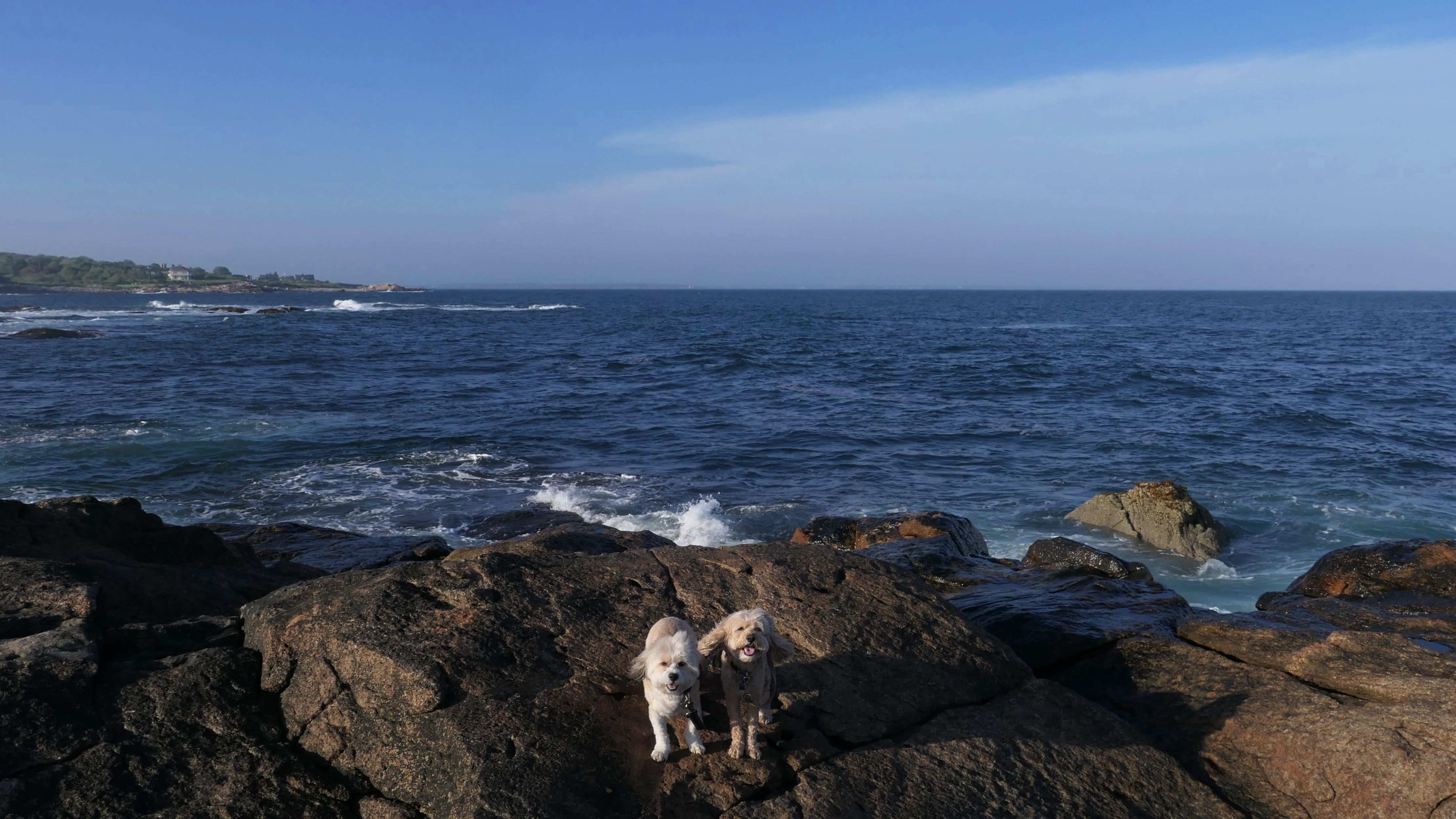
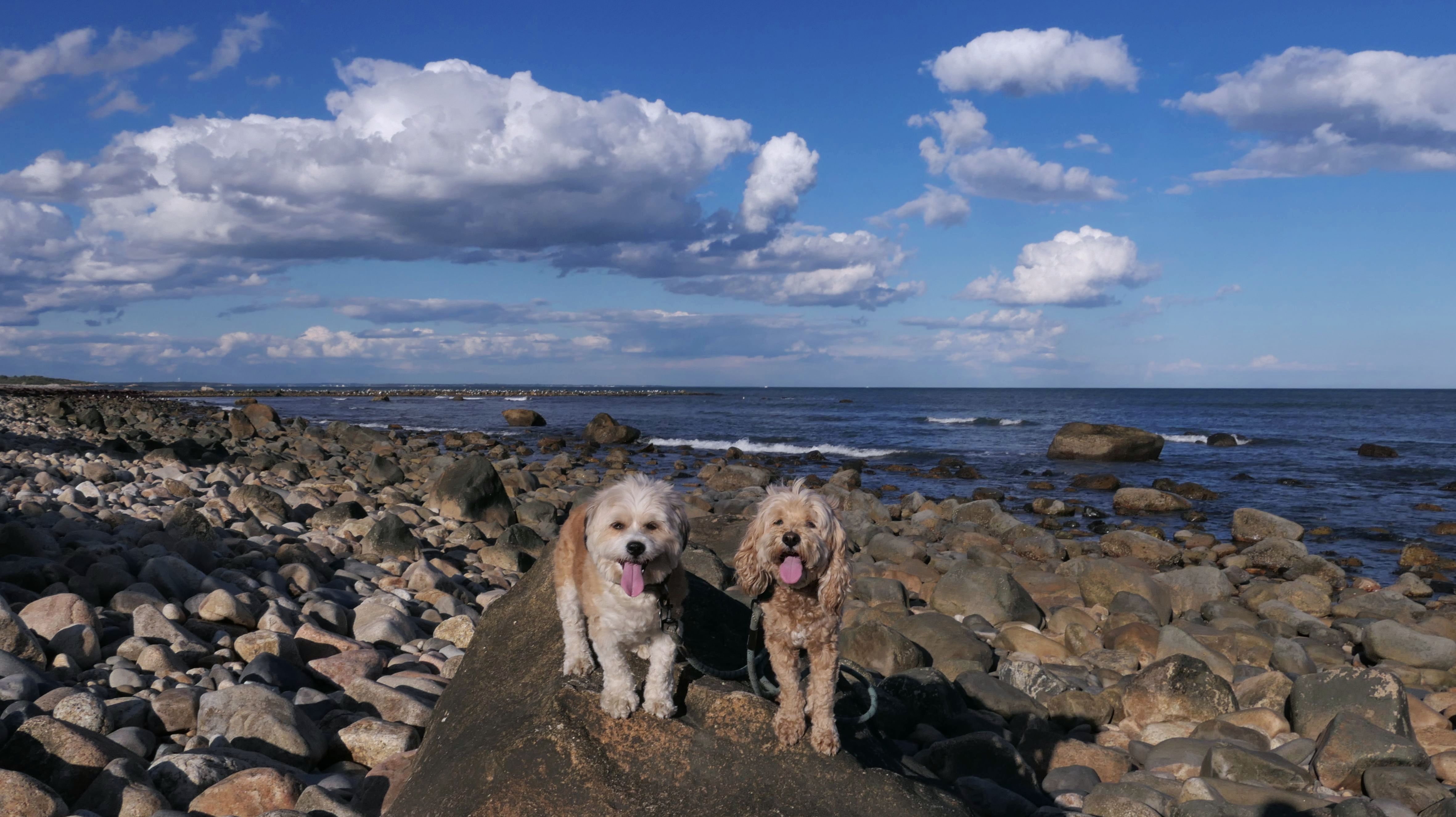
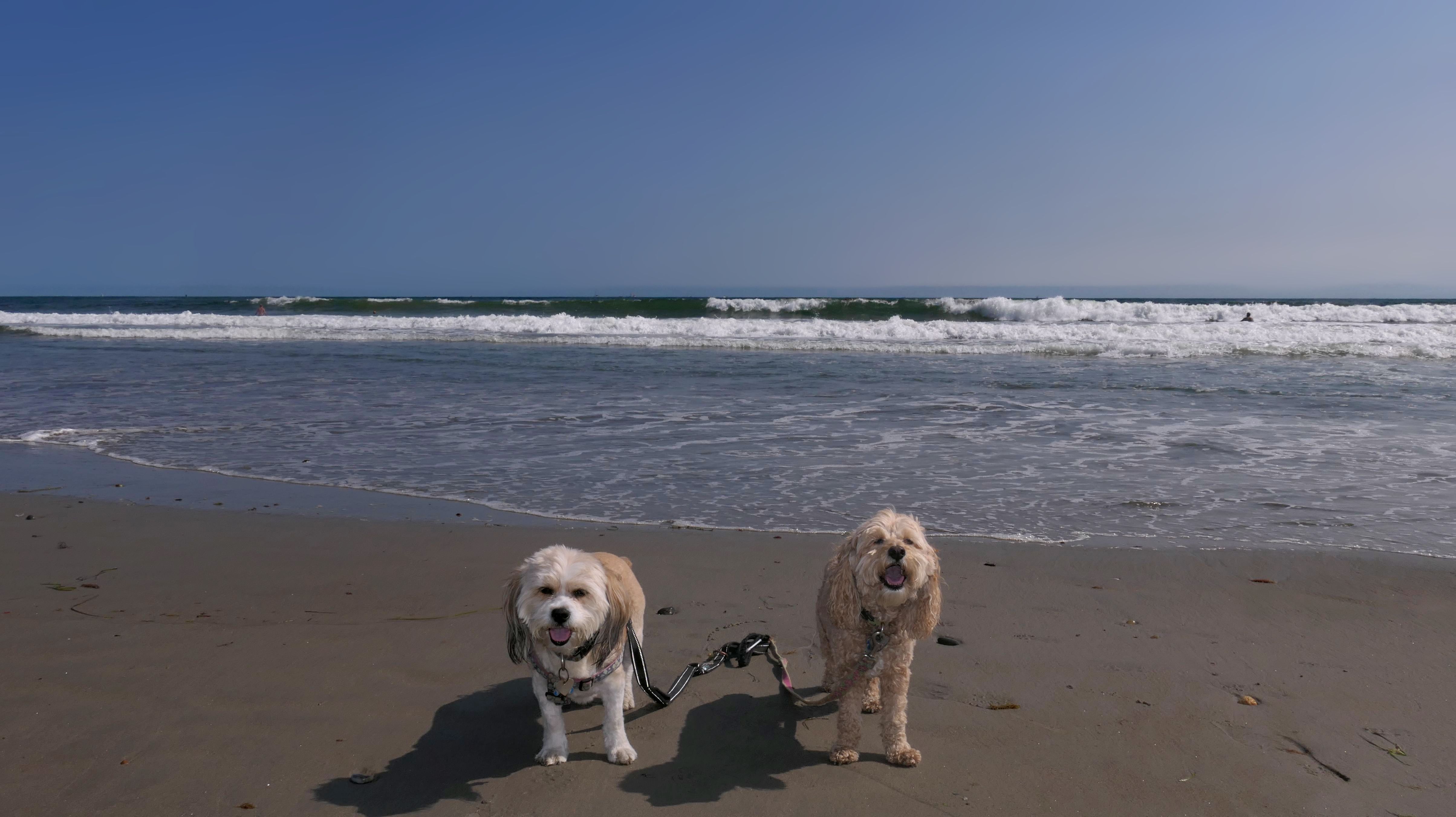
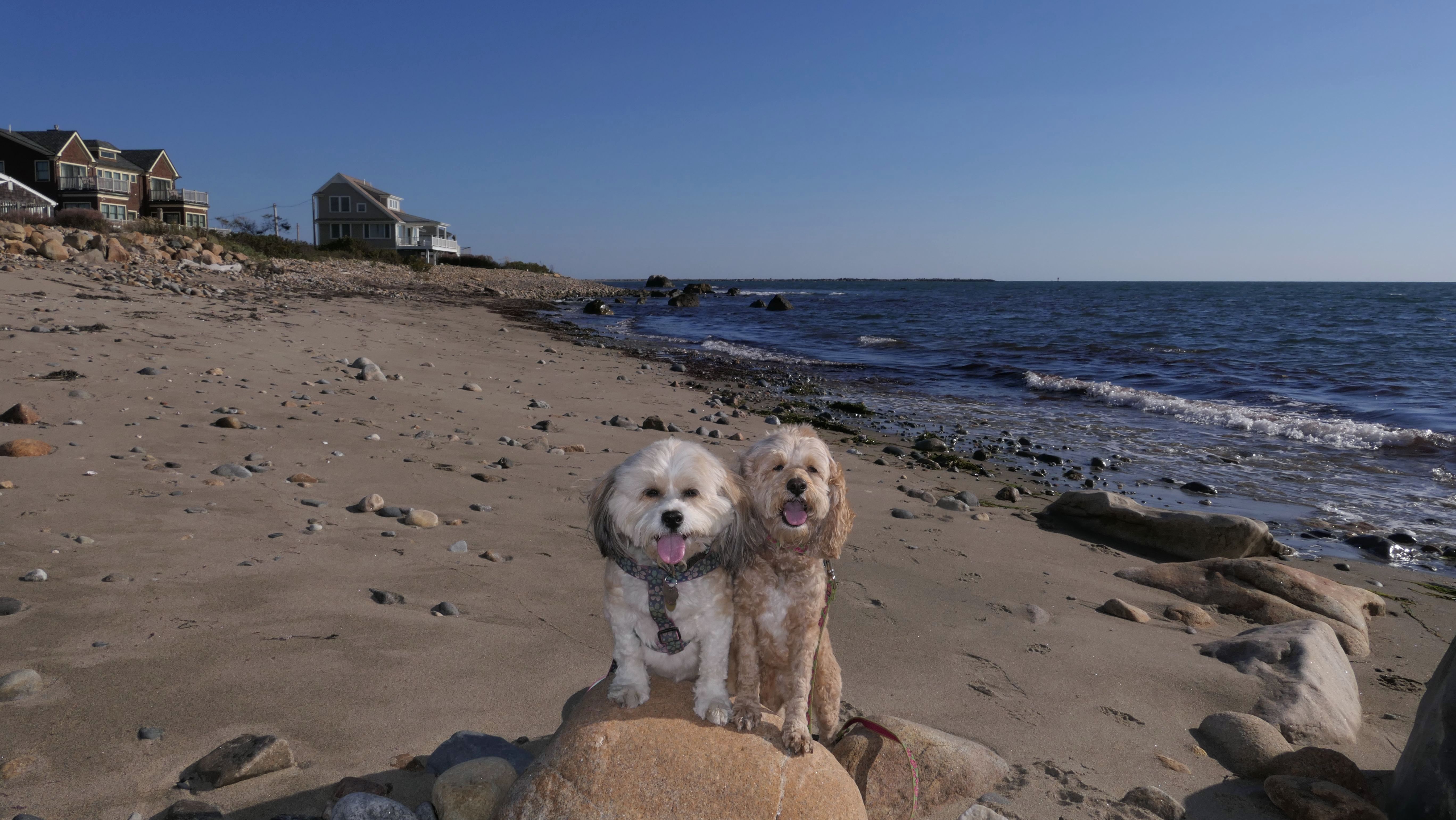
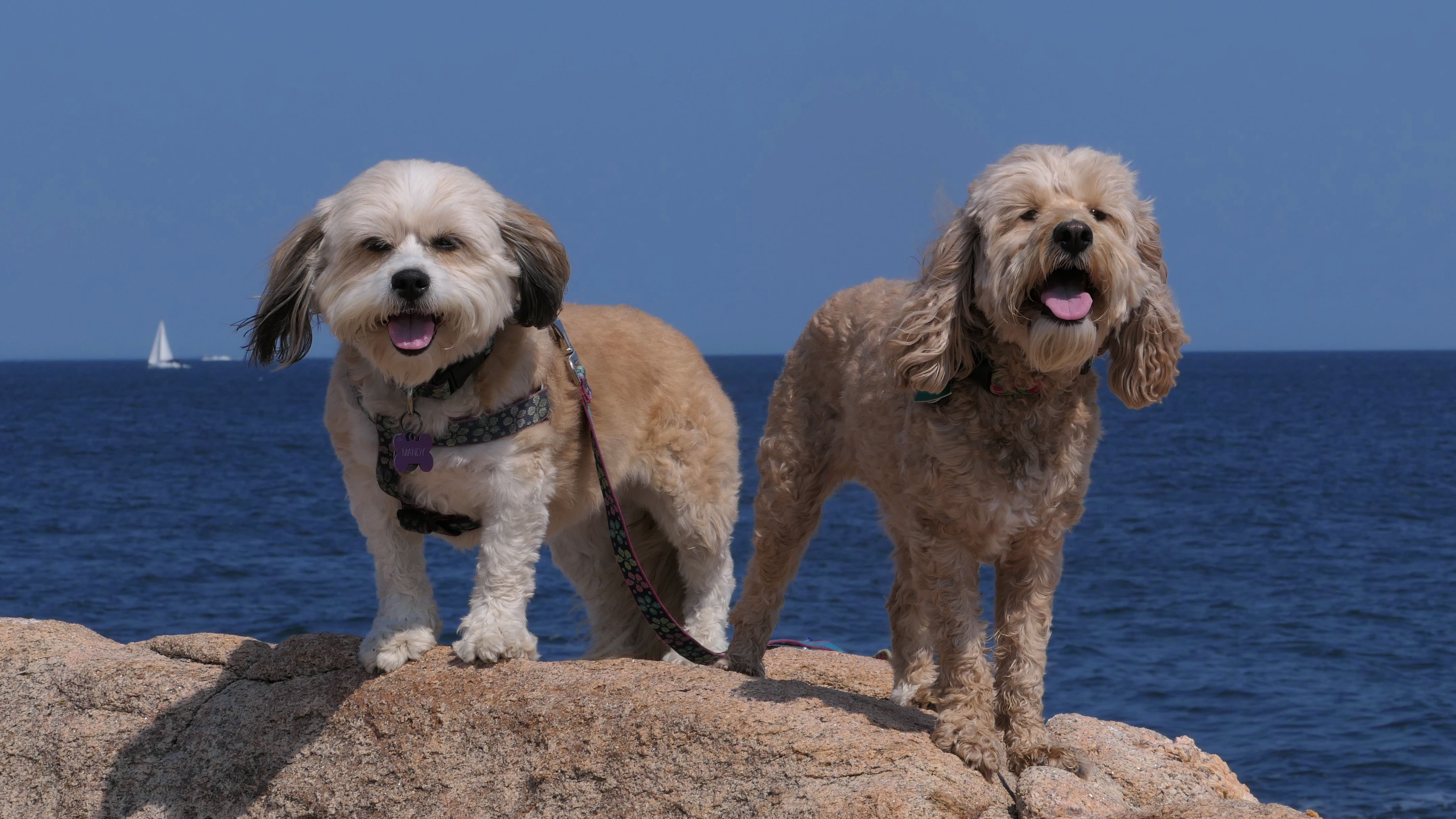
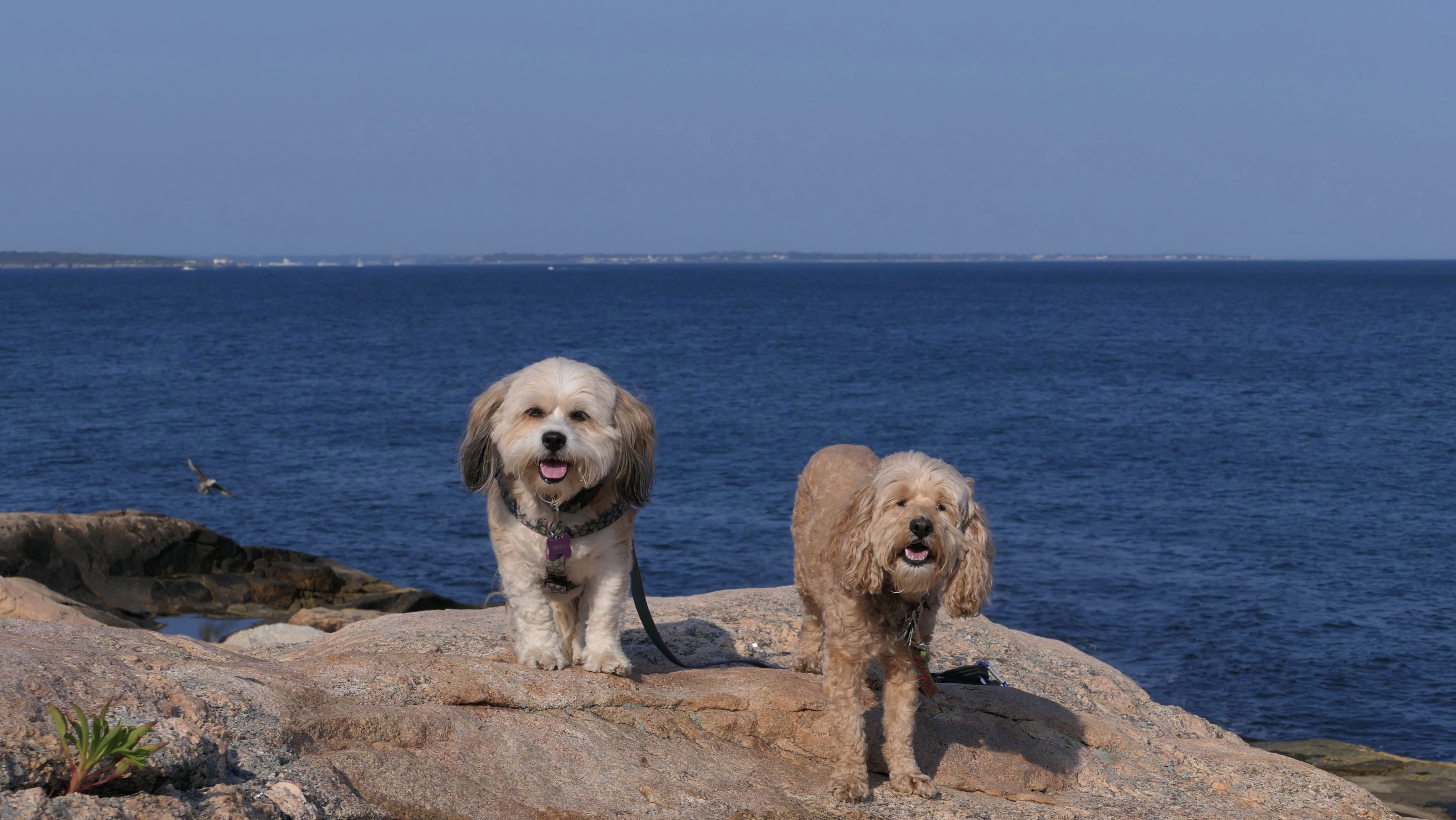
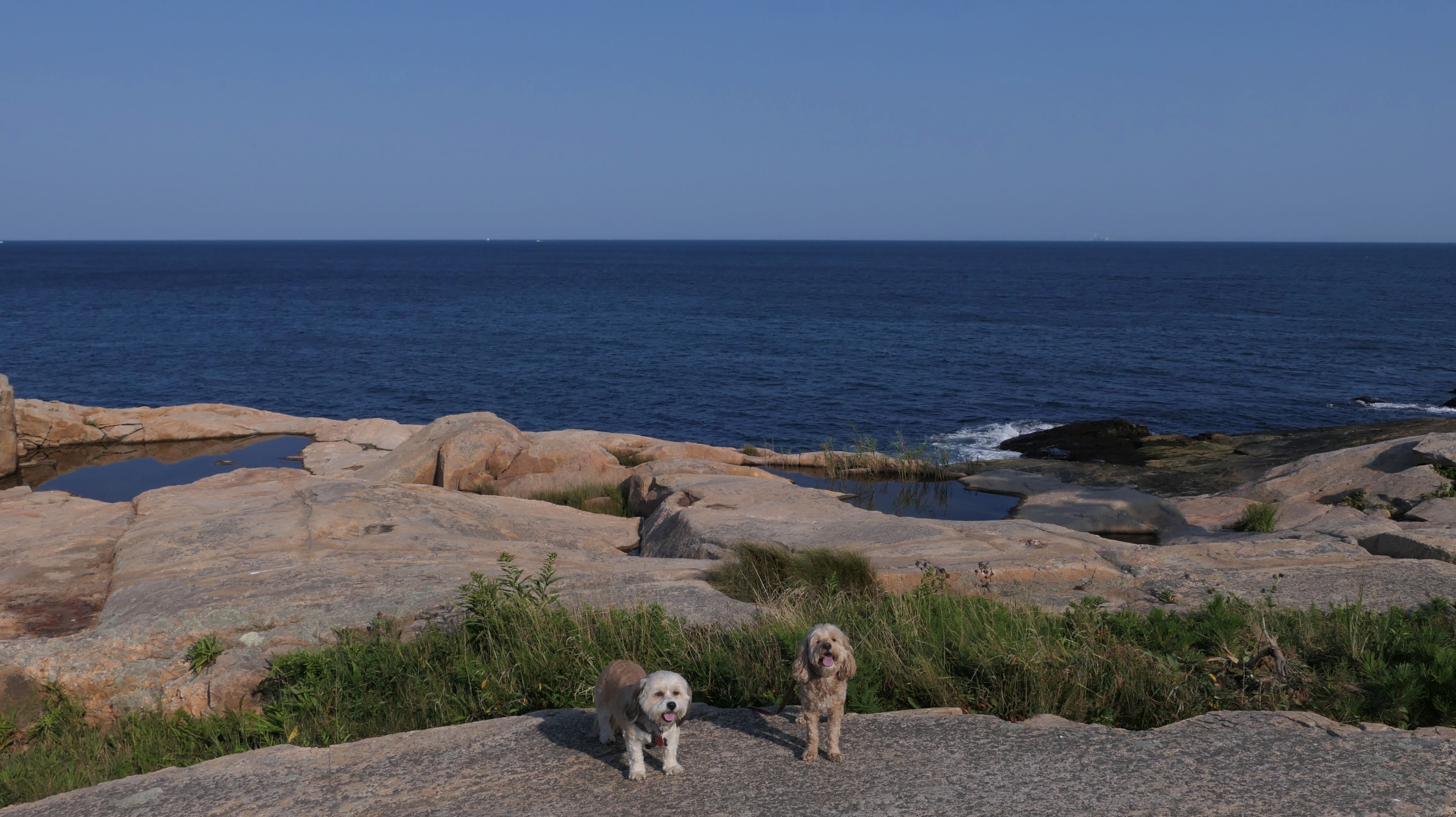
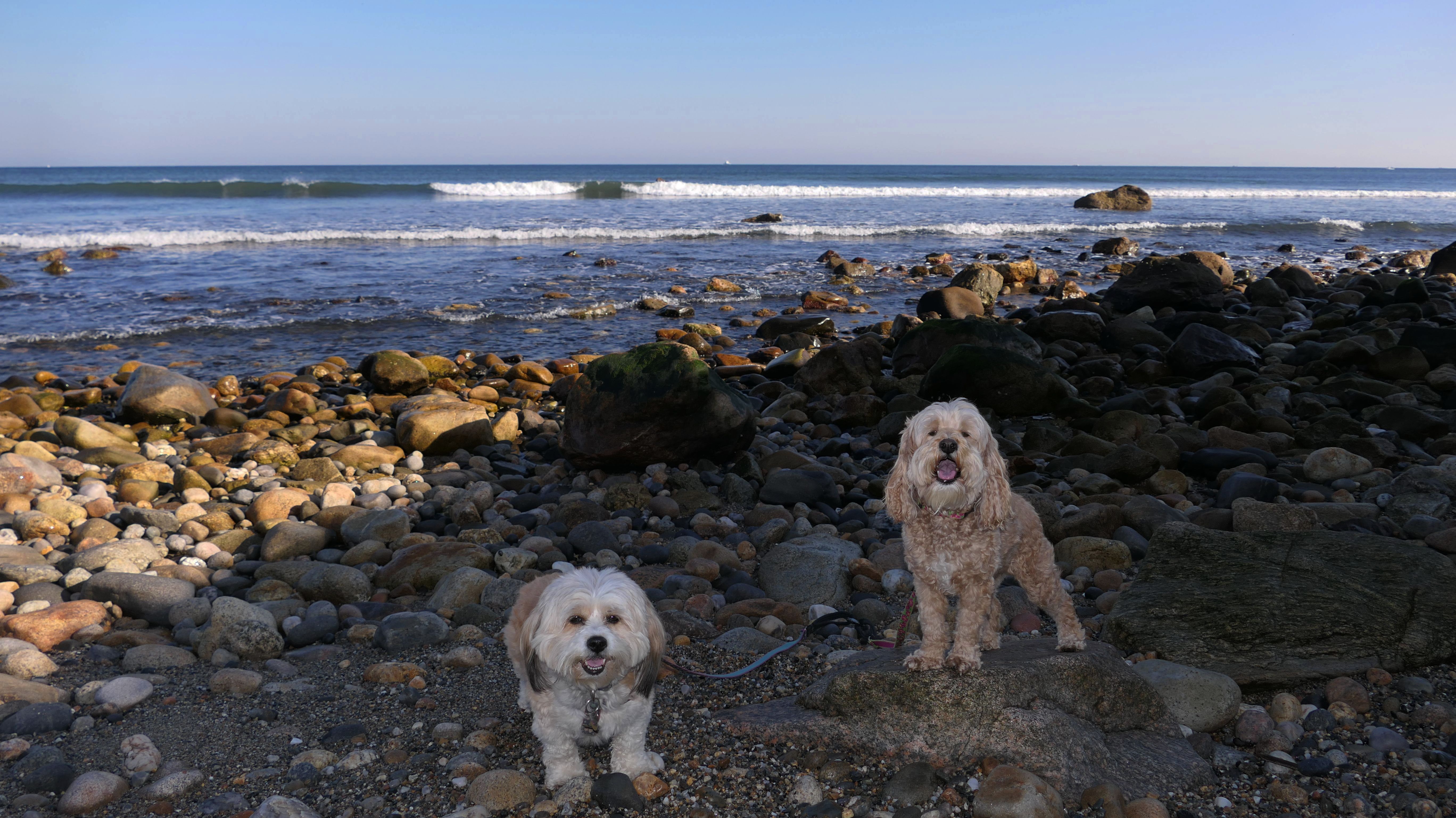
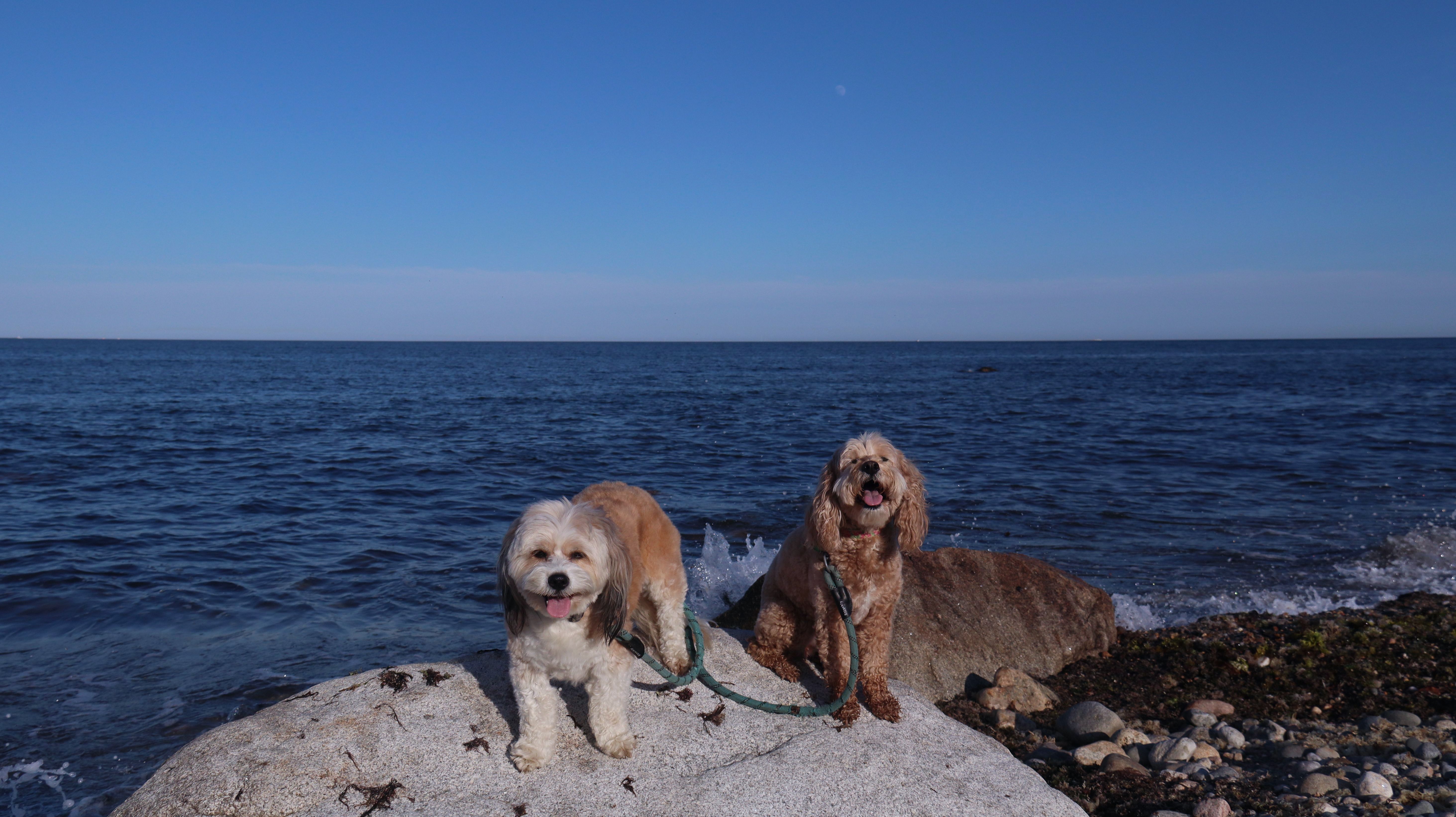
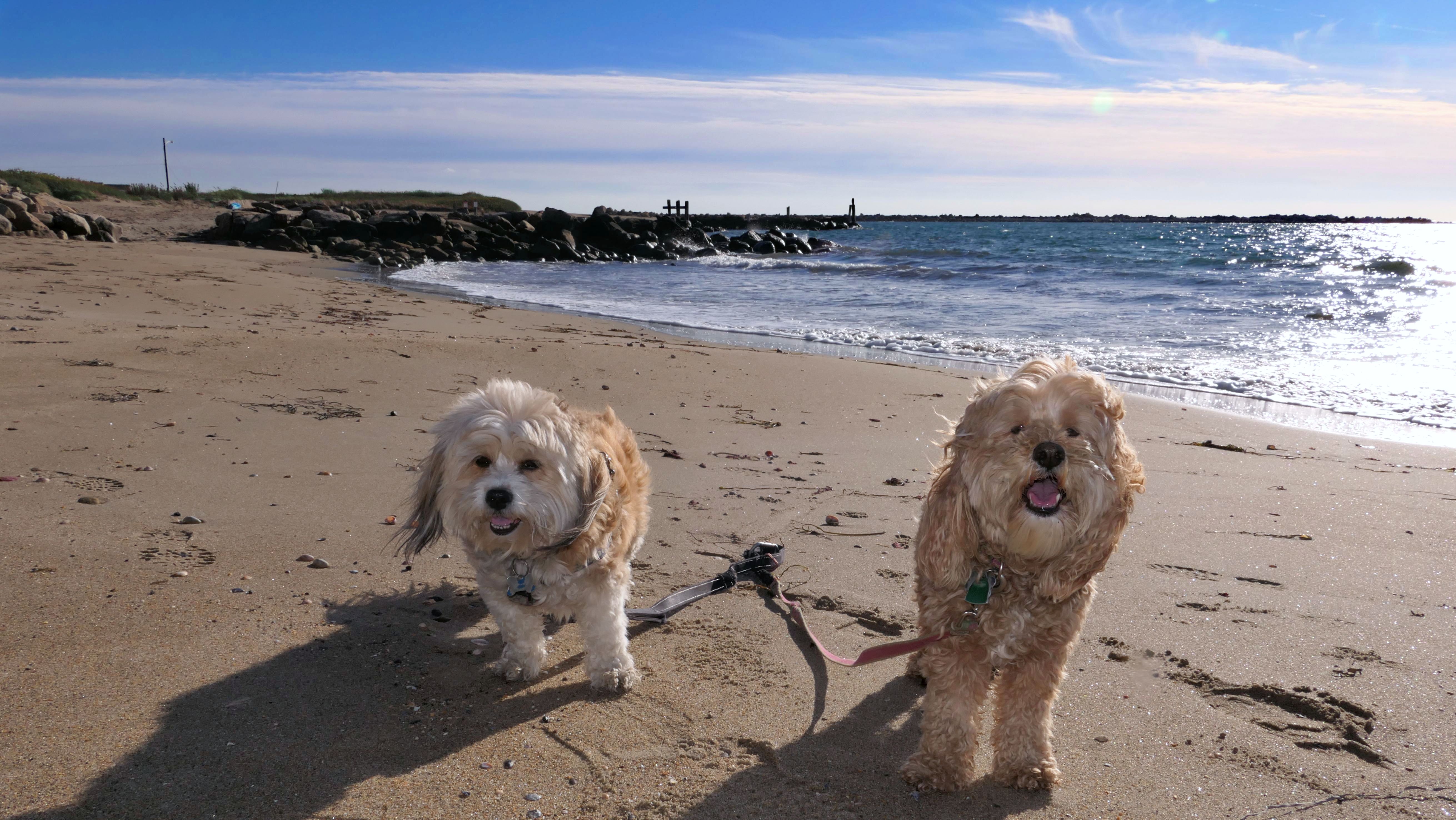
Date visited: 5/17/2025
This is the second time we've visited this place this year. As I mentioned before, I think this might be my favorite spot in Rhode Island, if not my favorite spot we've ever visited! The views are always outstanding. Today was no different. We walked most of the easy trail, but most of the photos are of the waves hitting the rocks along the shore.
More Images
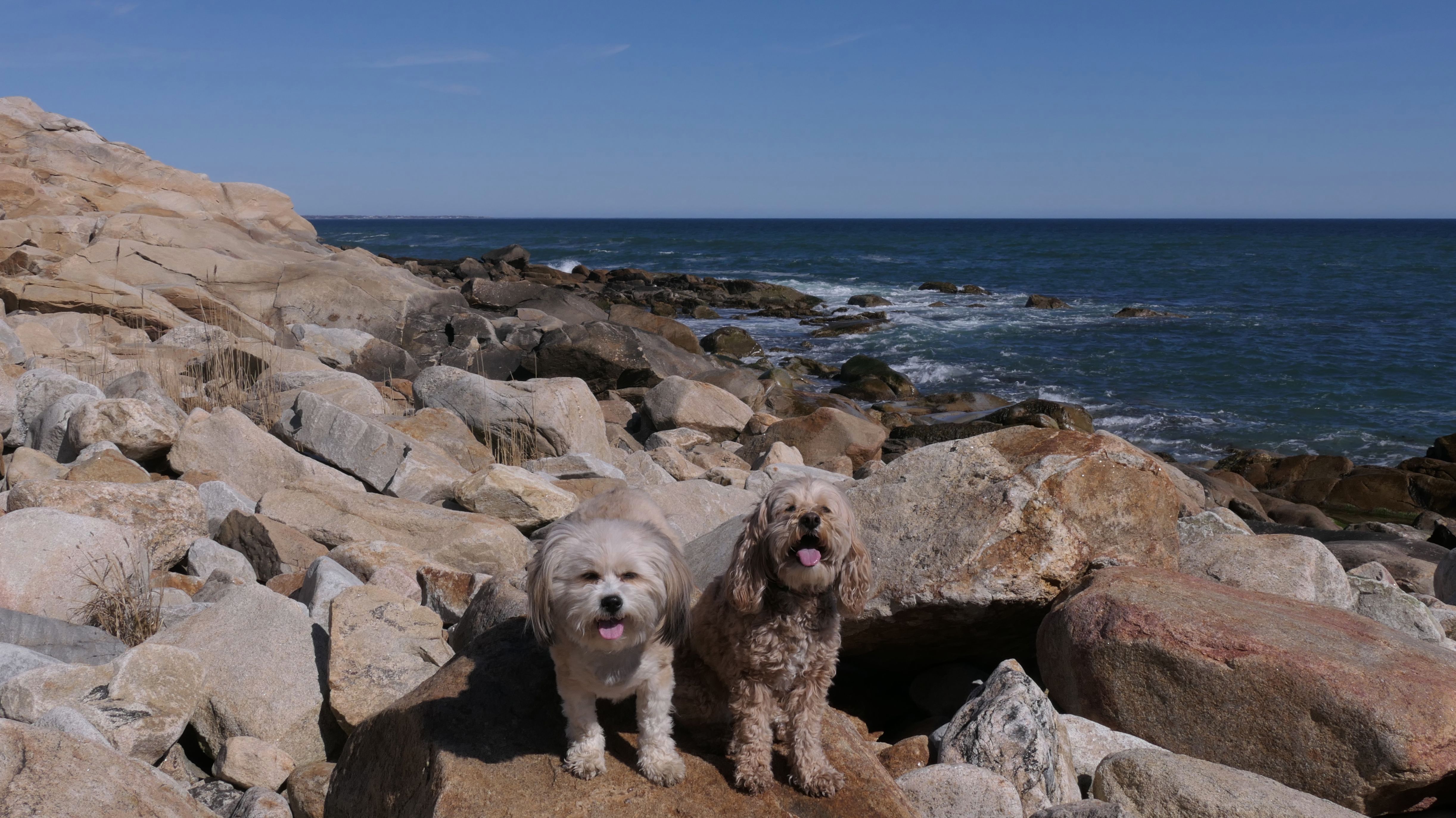
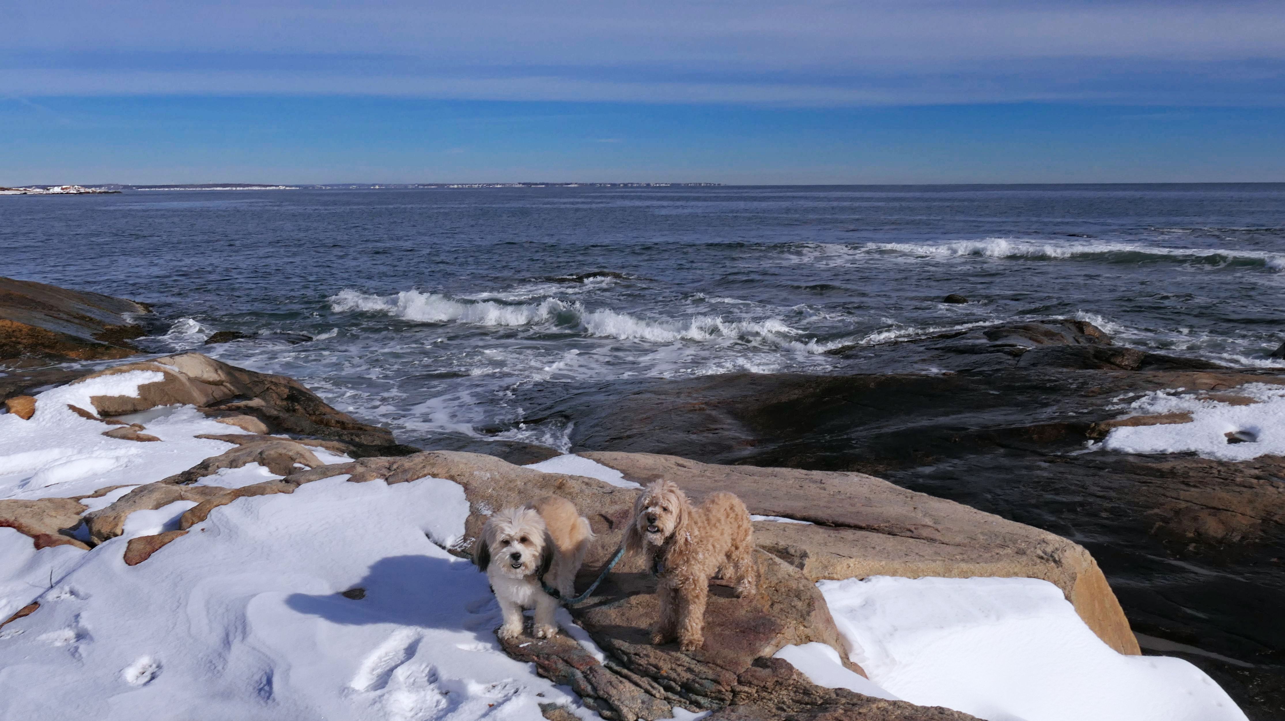
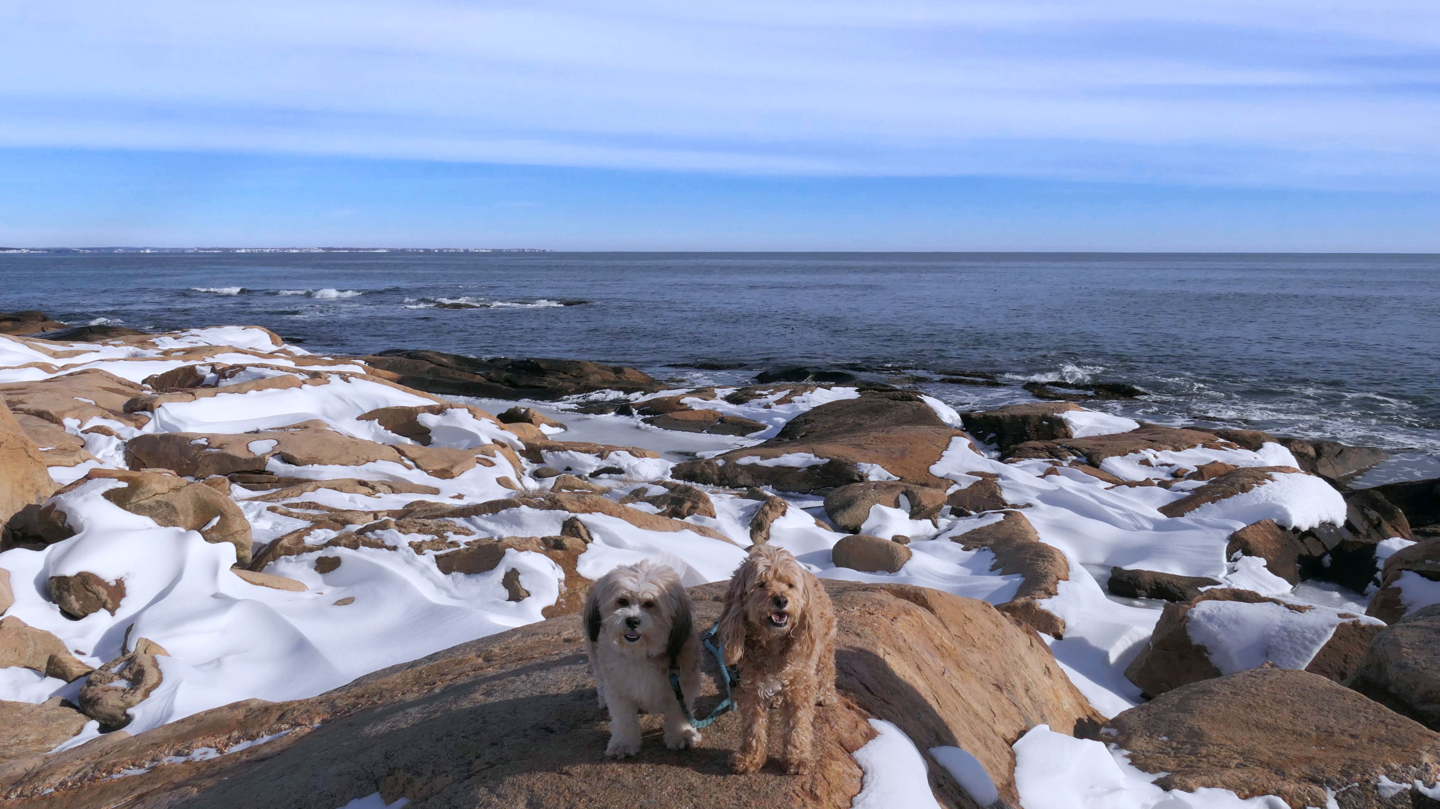
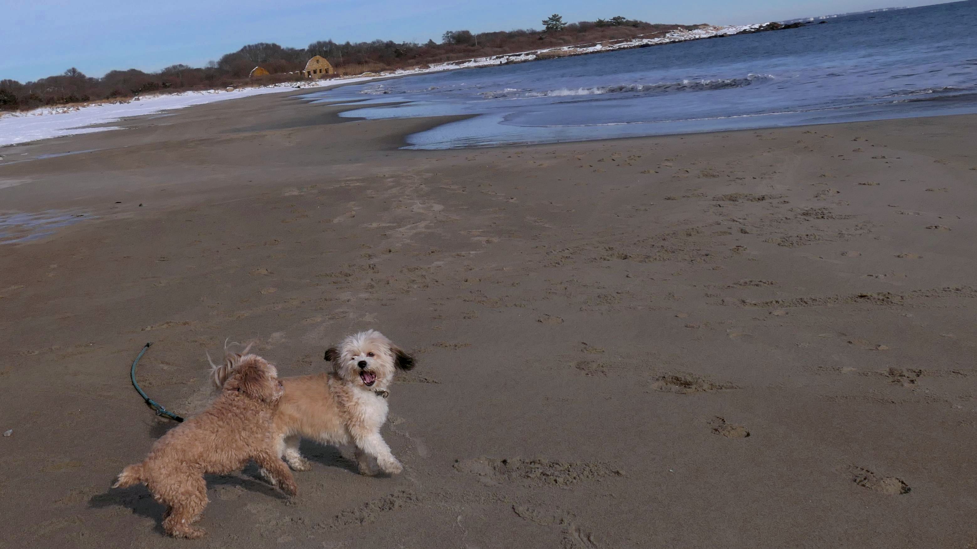
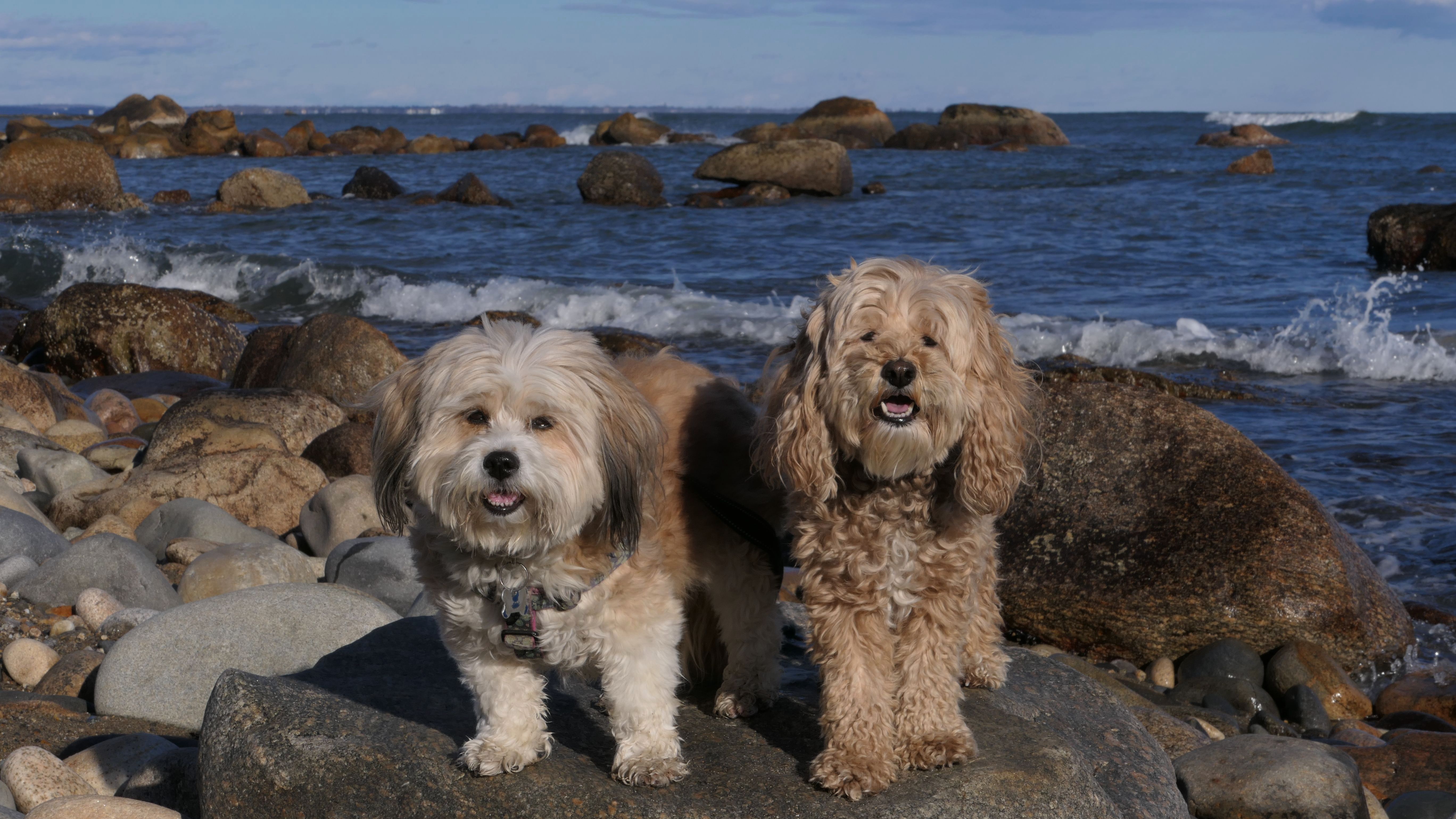
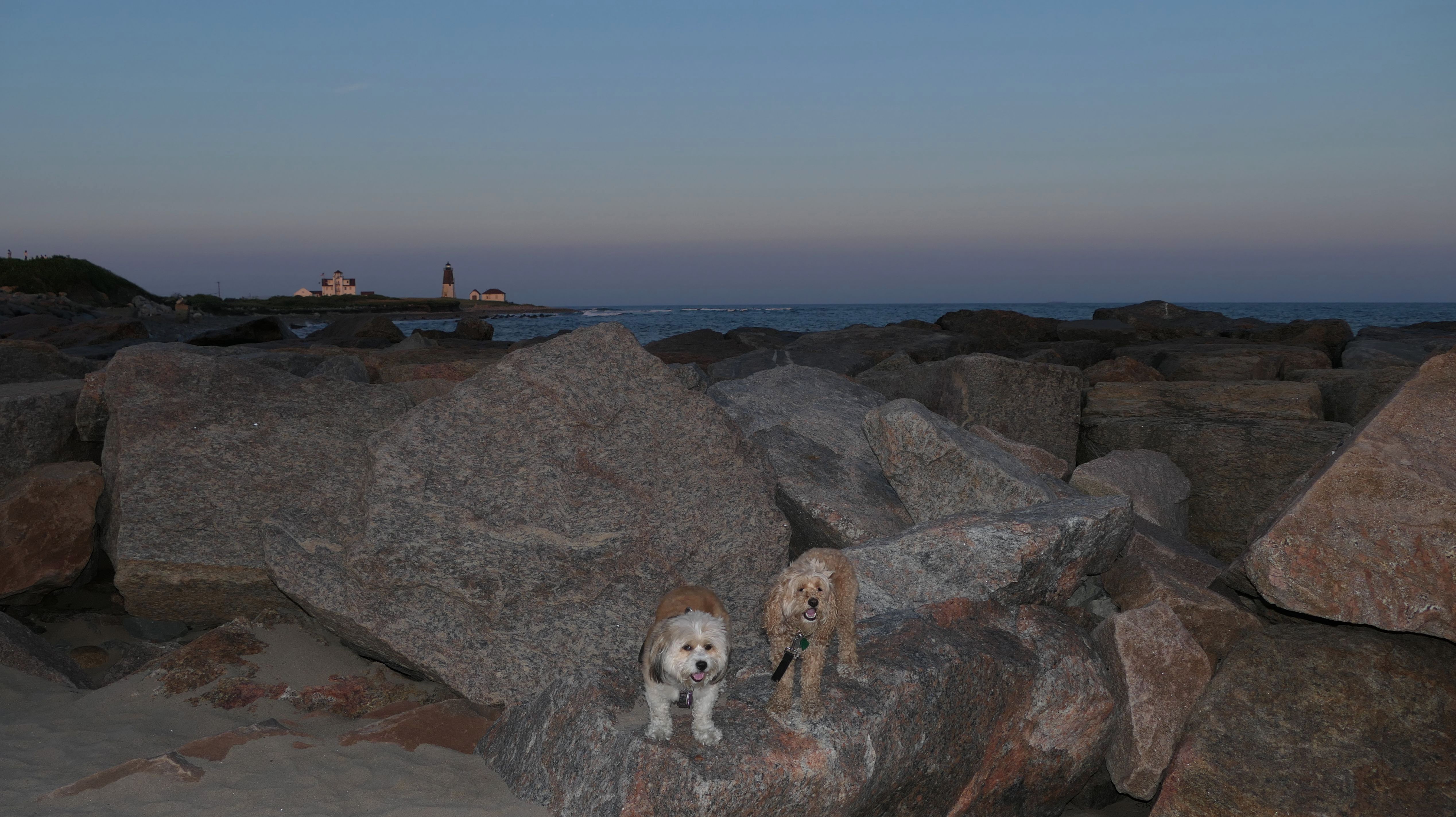
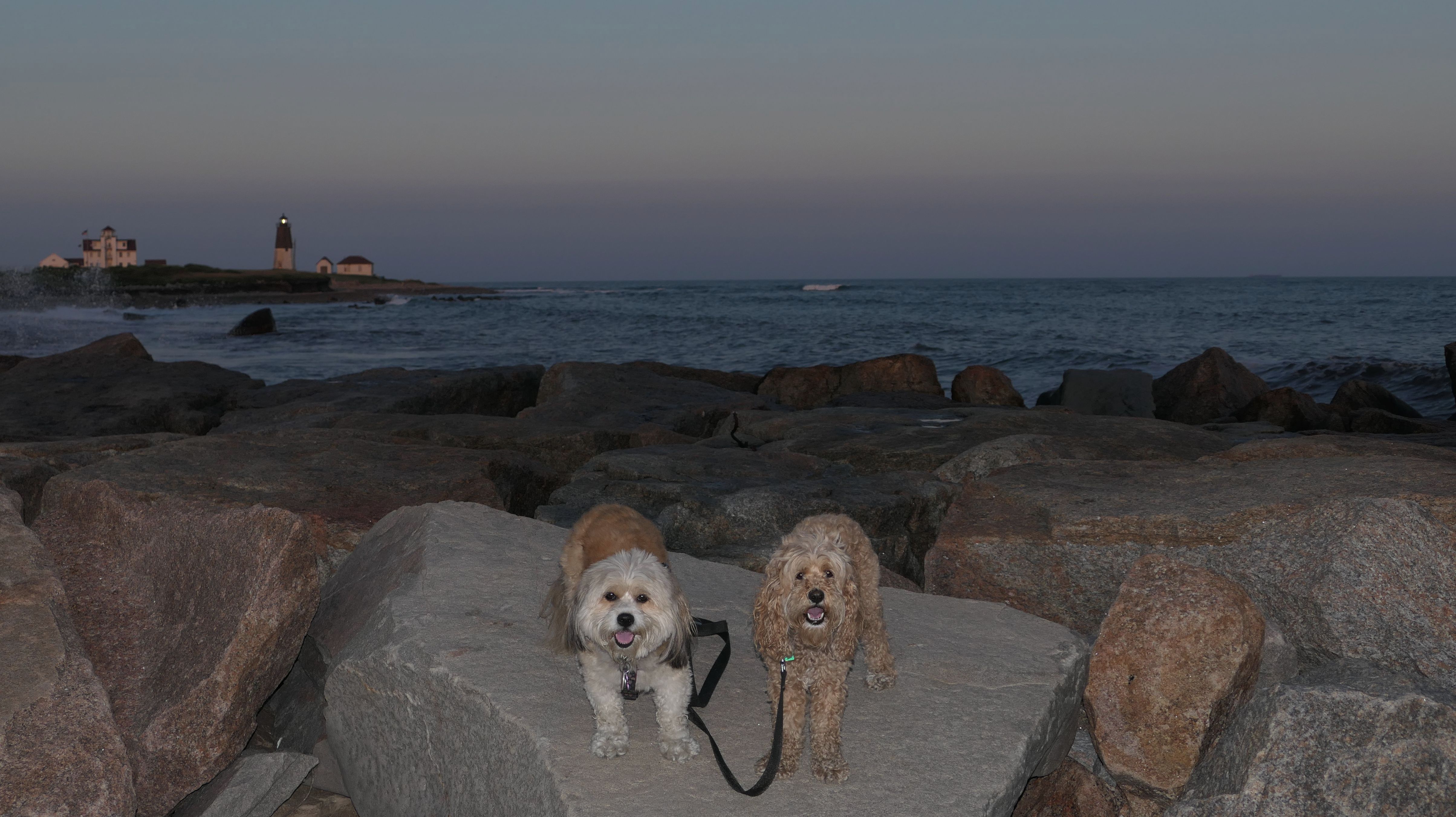
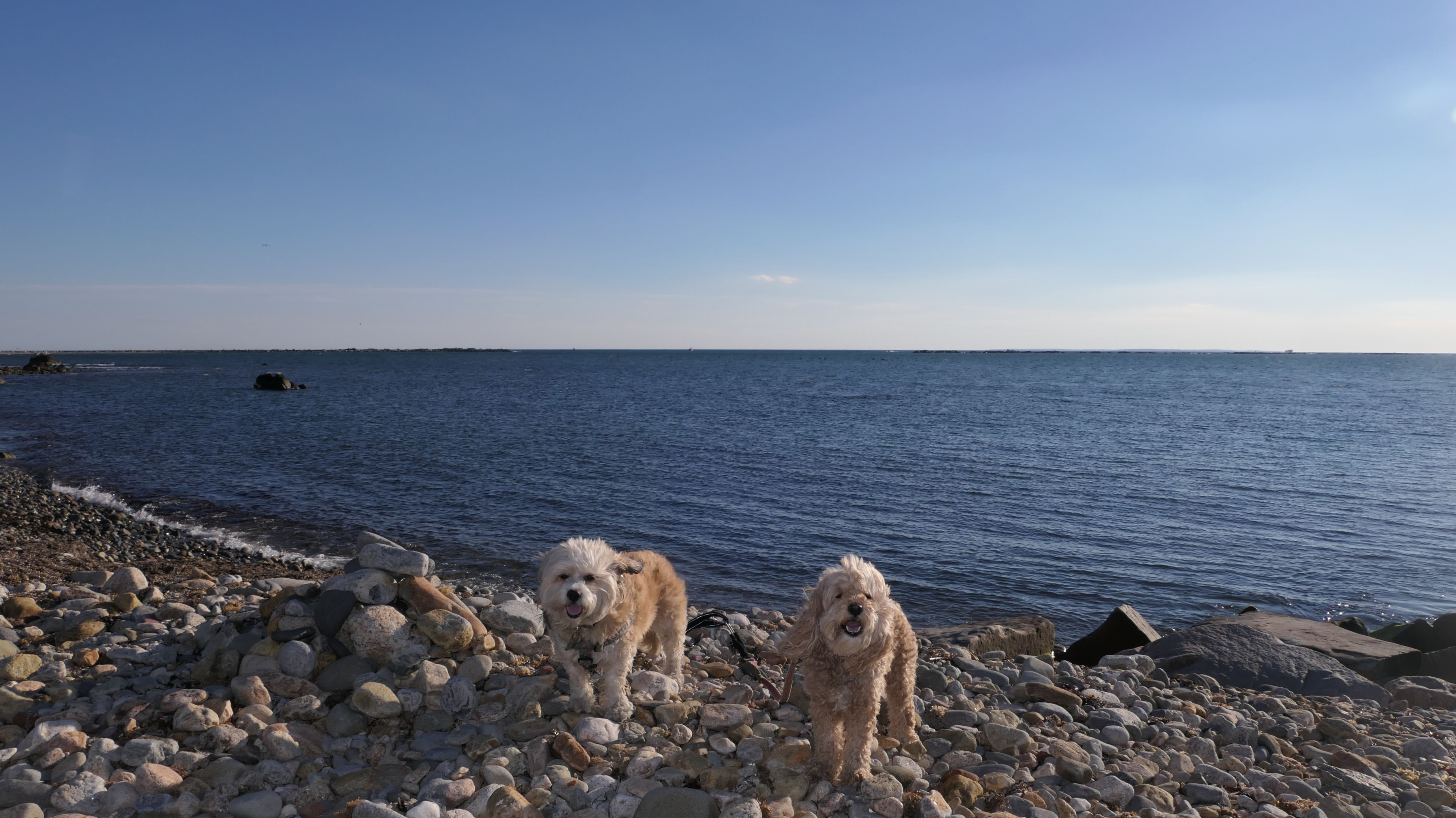
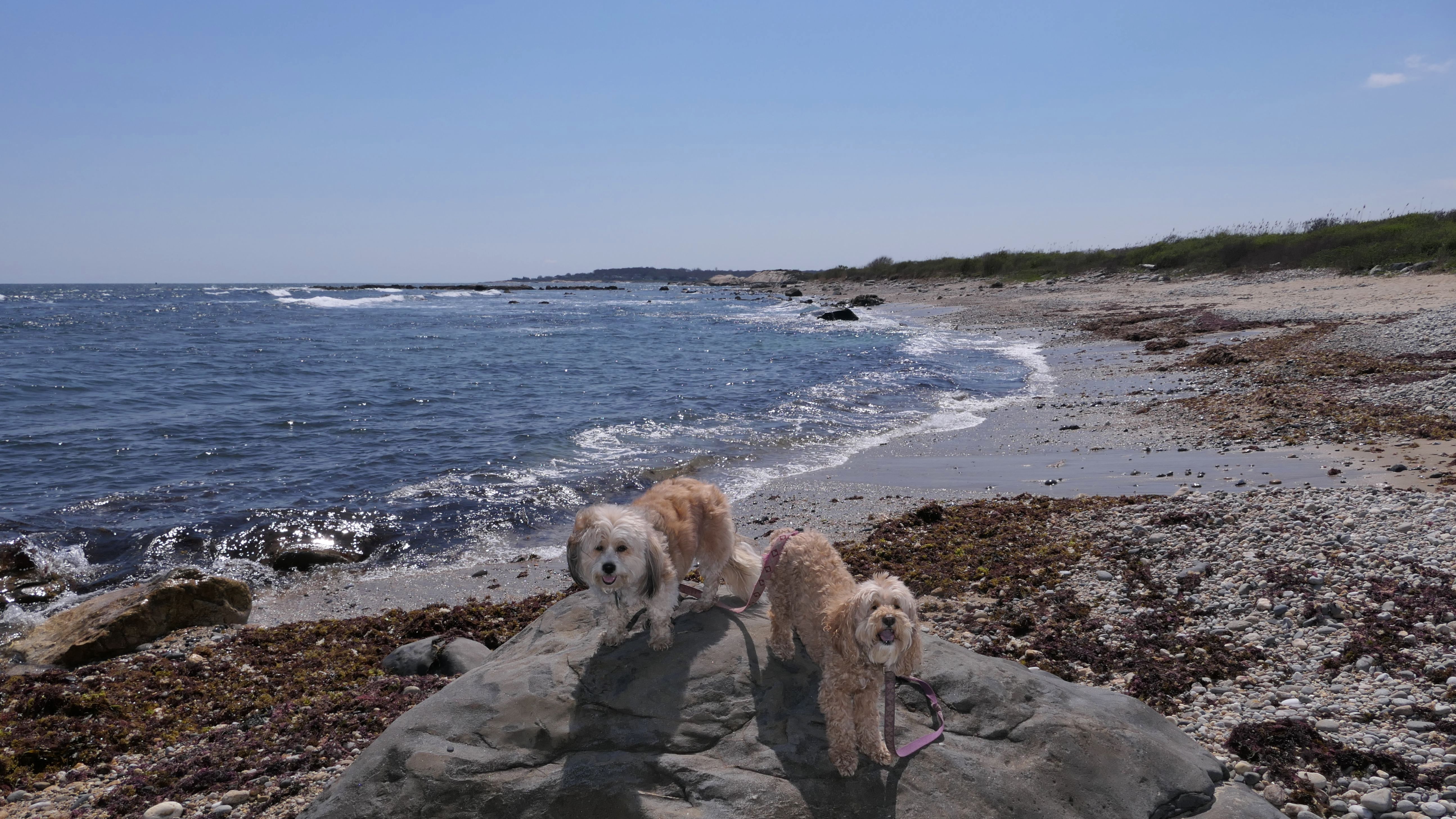
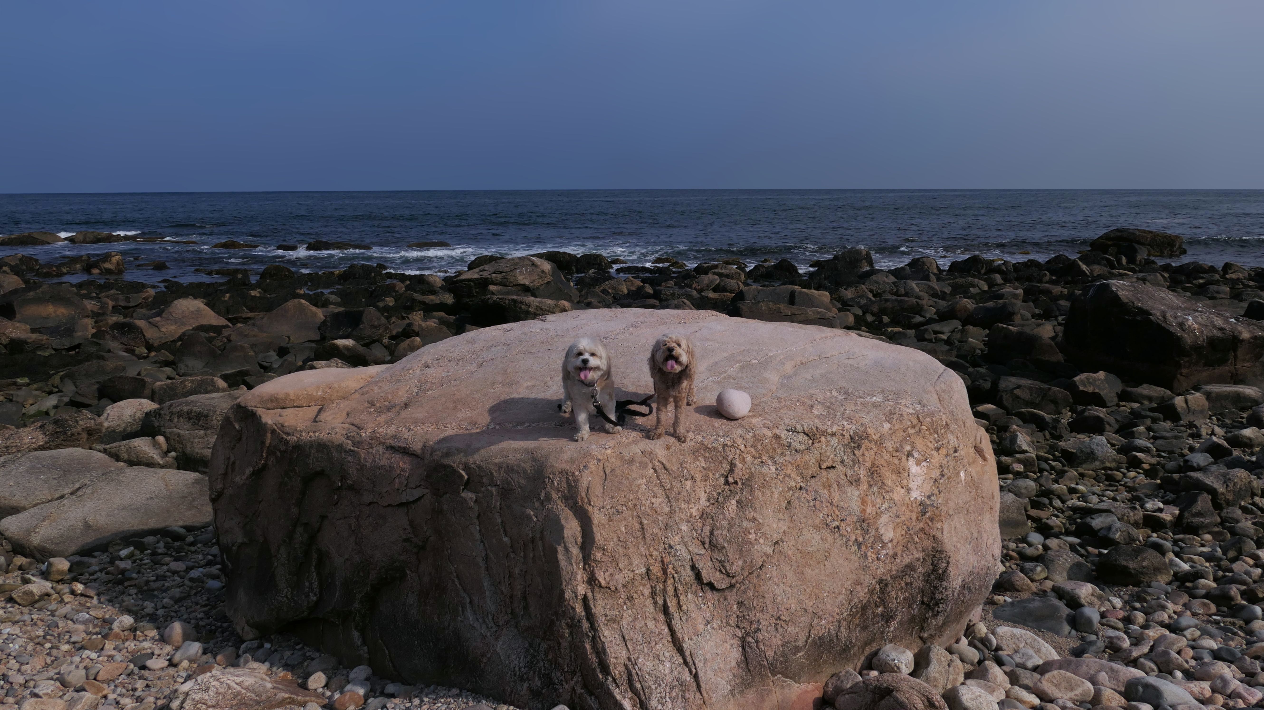
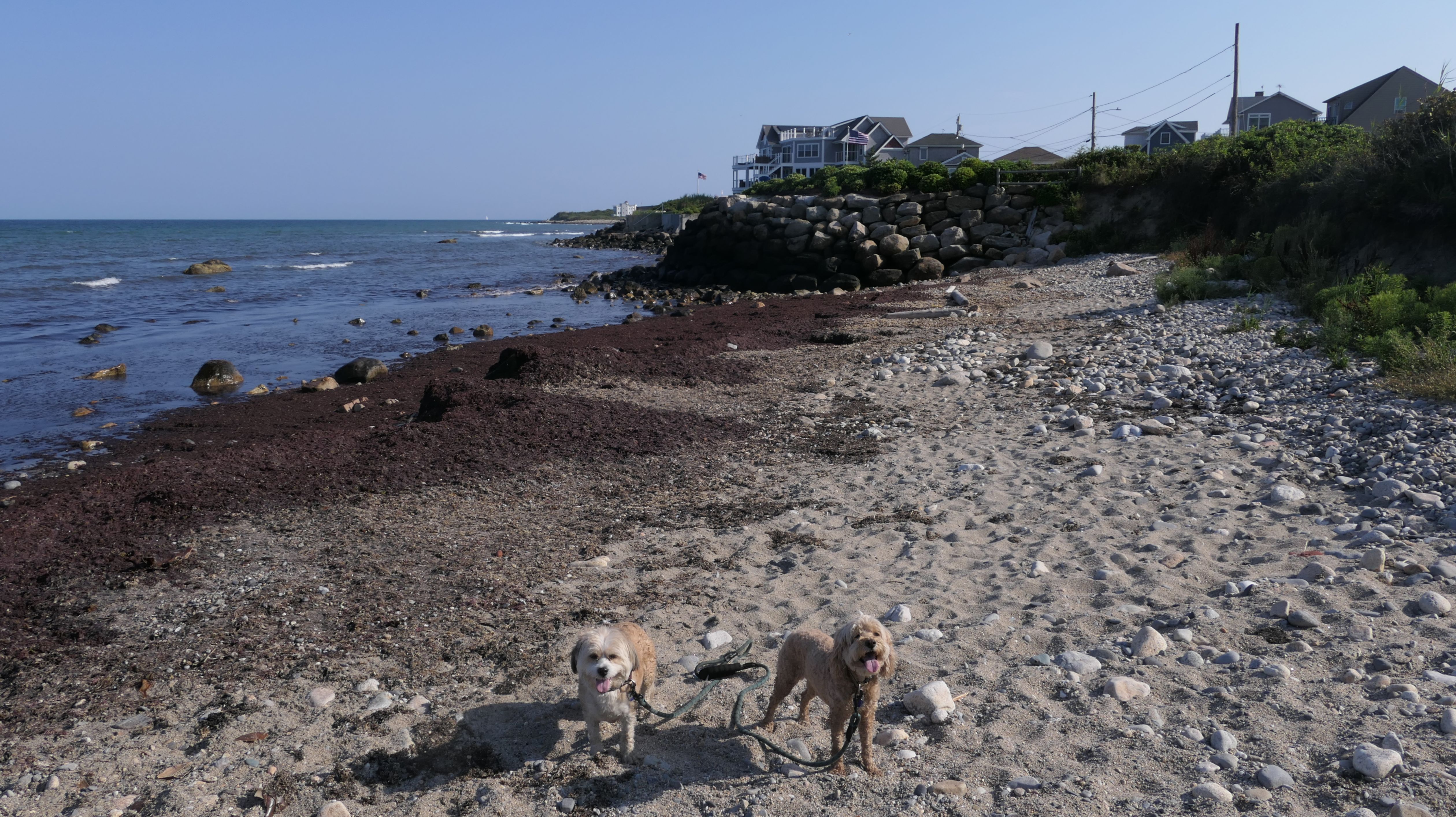
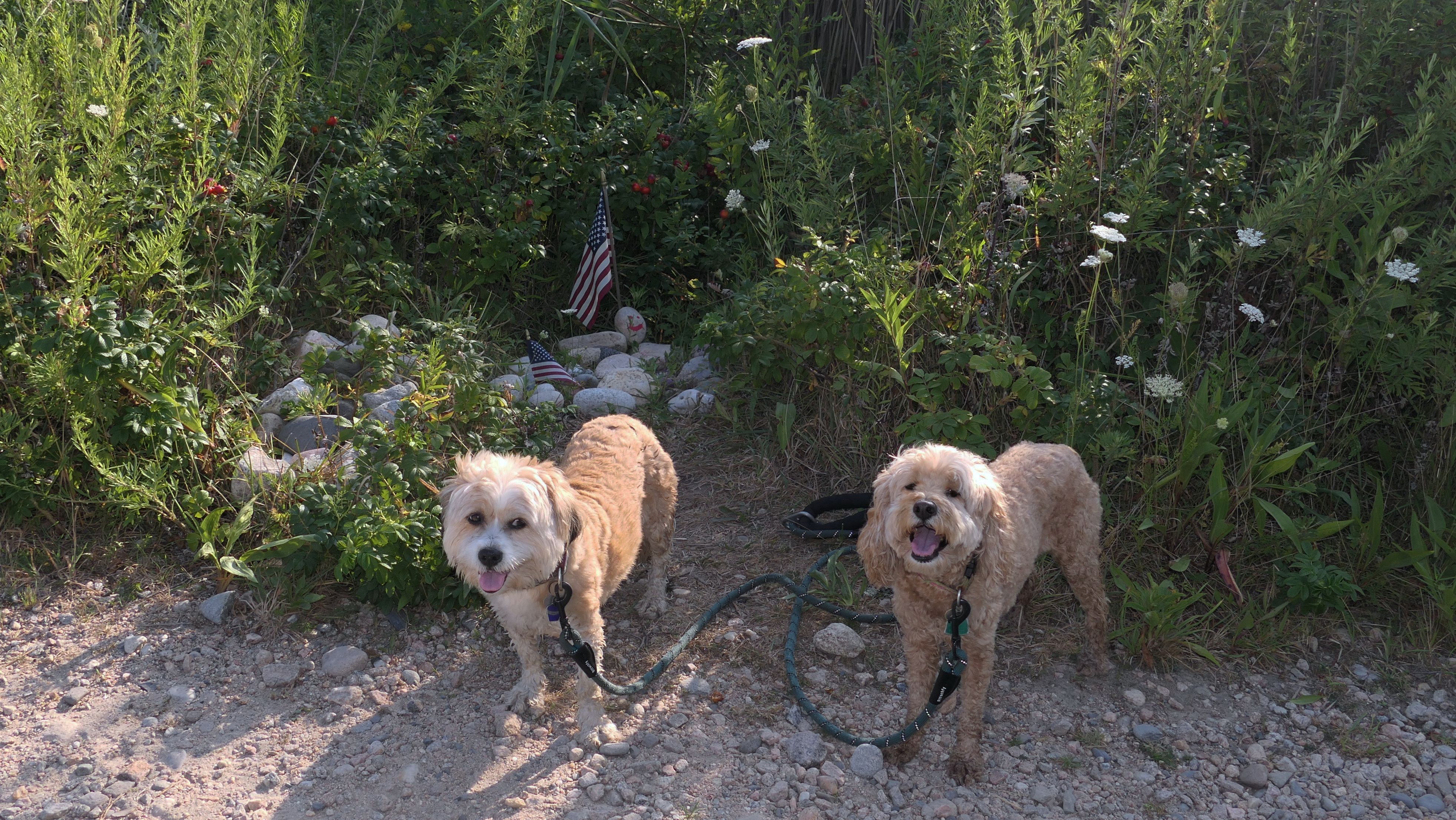
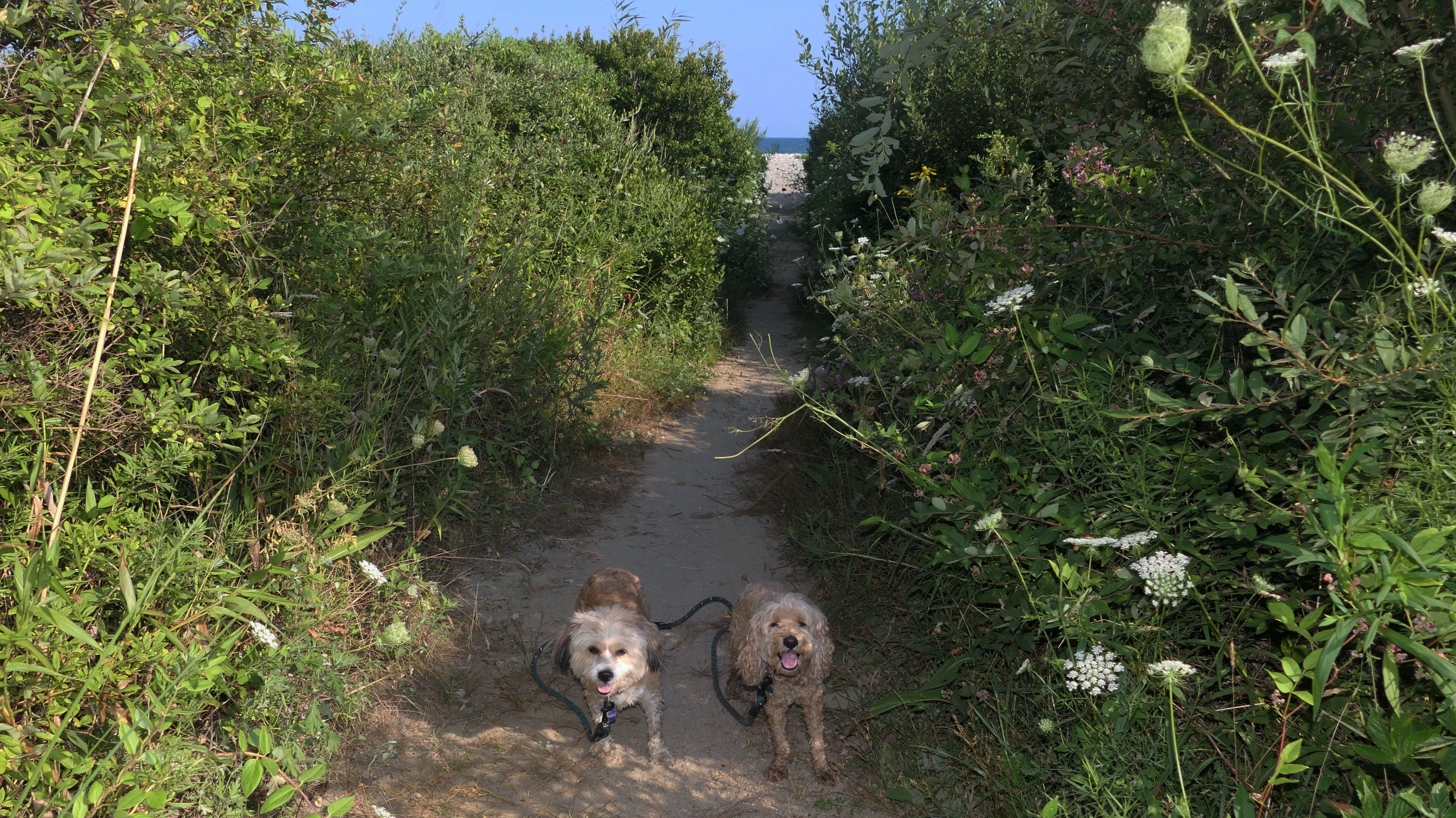
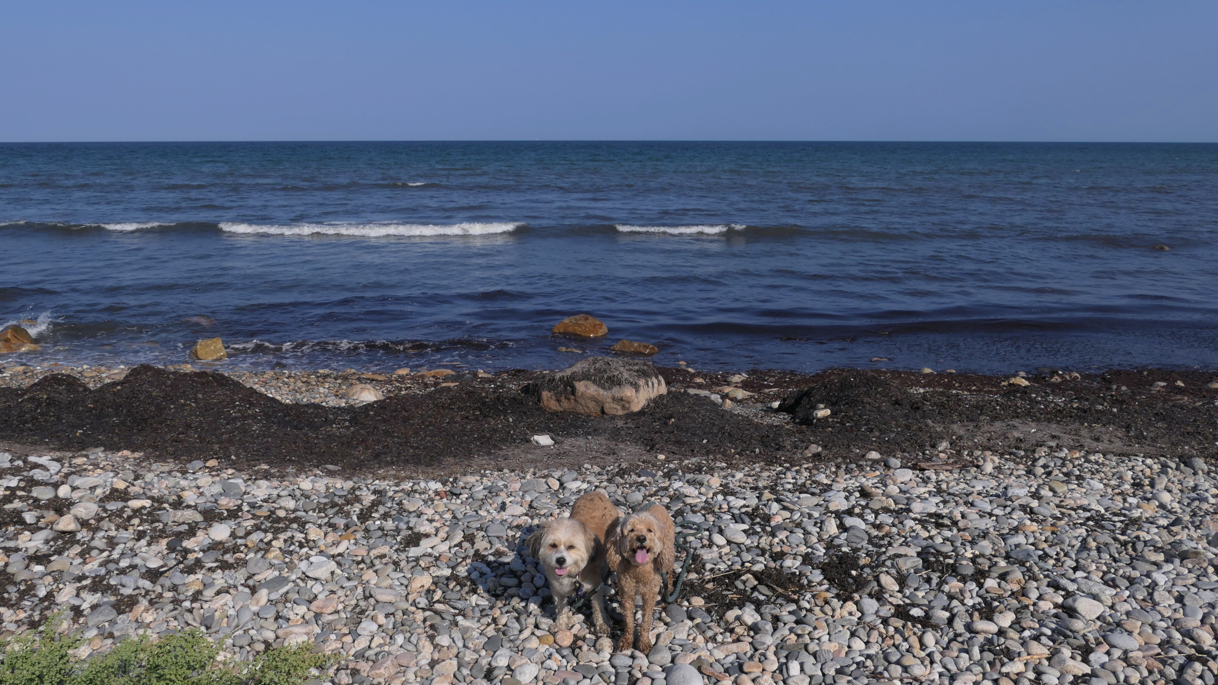
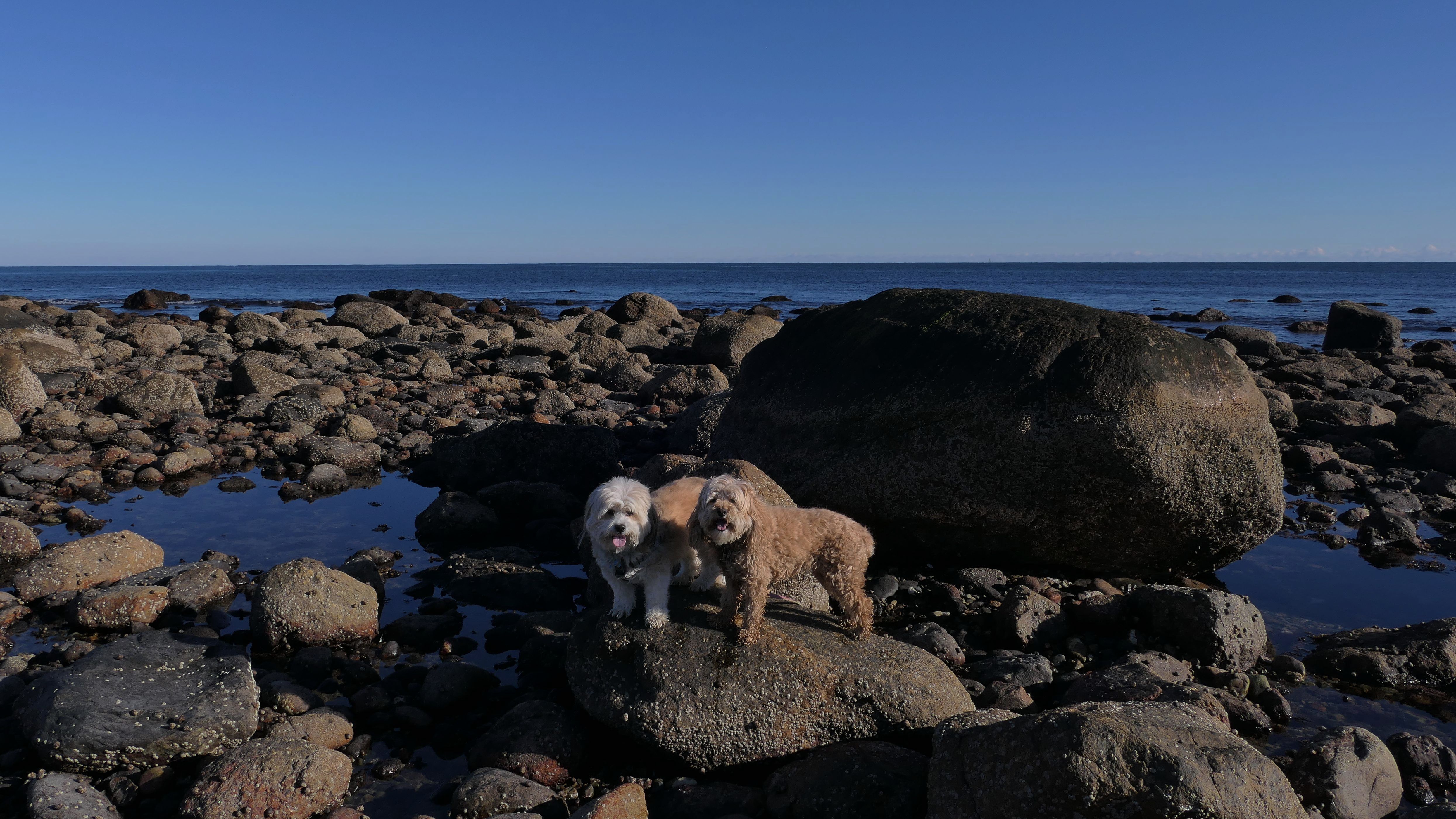
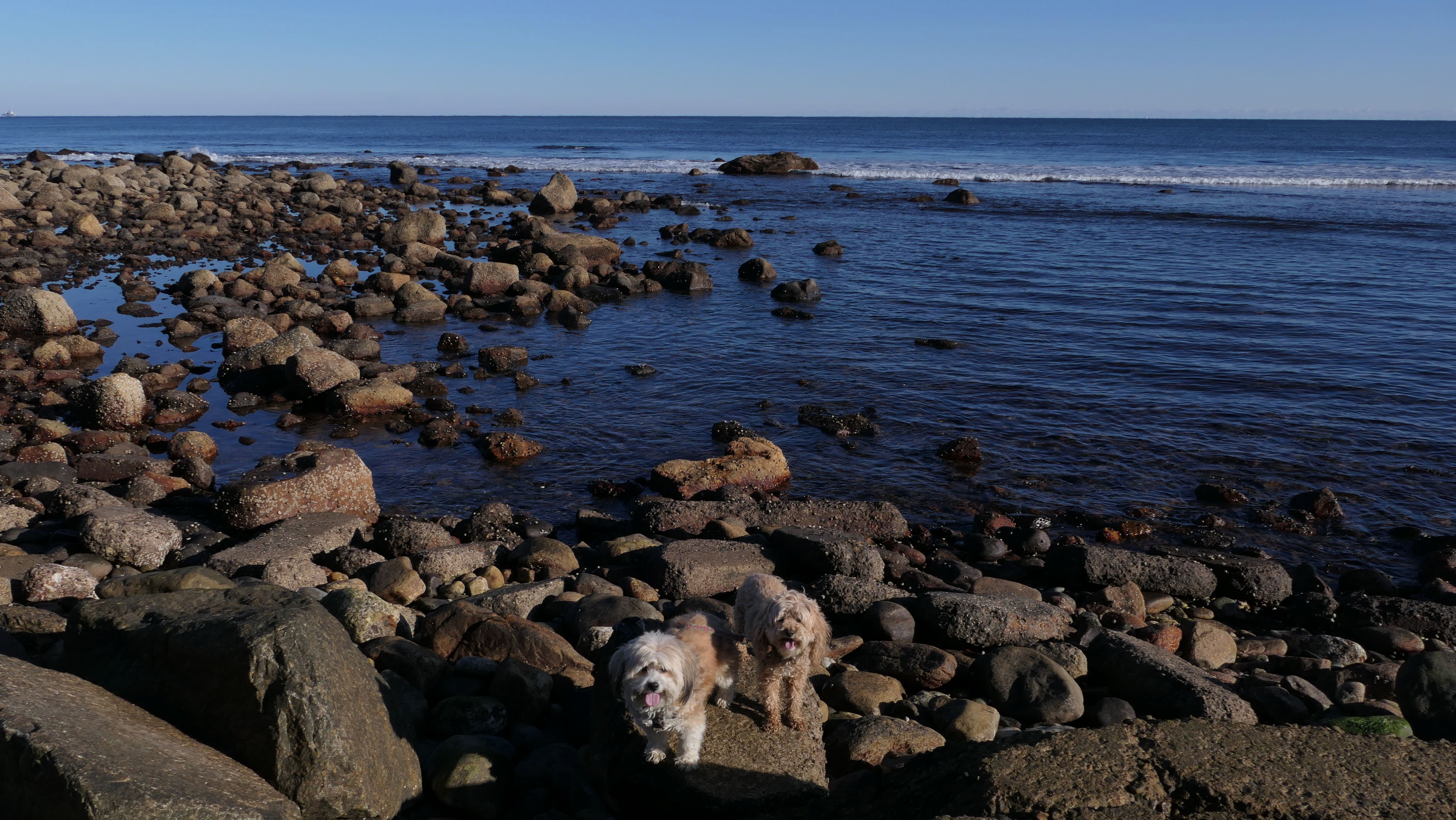
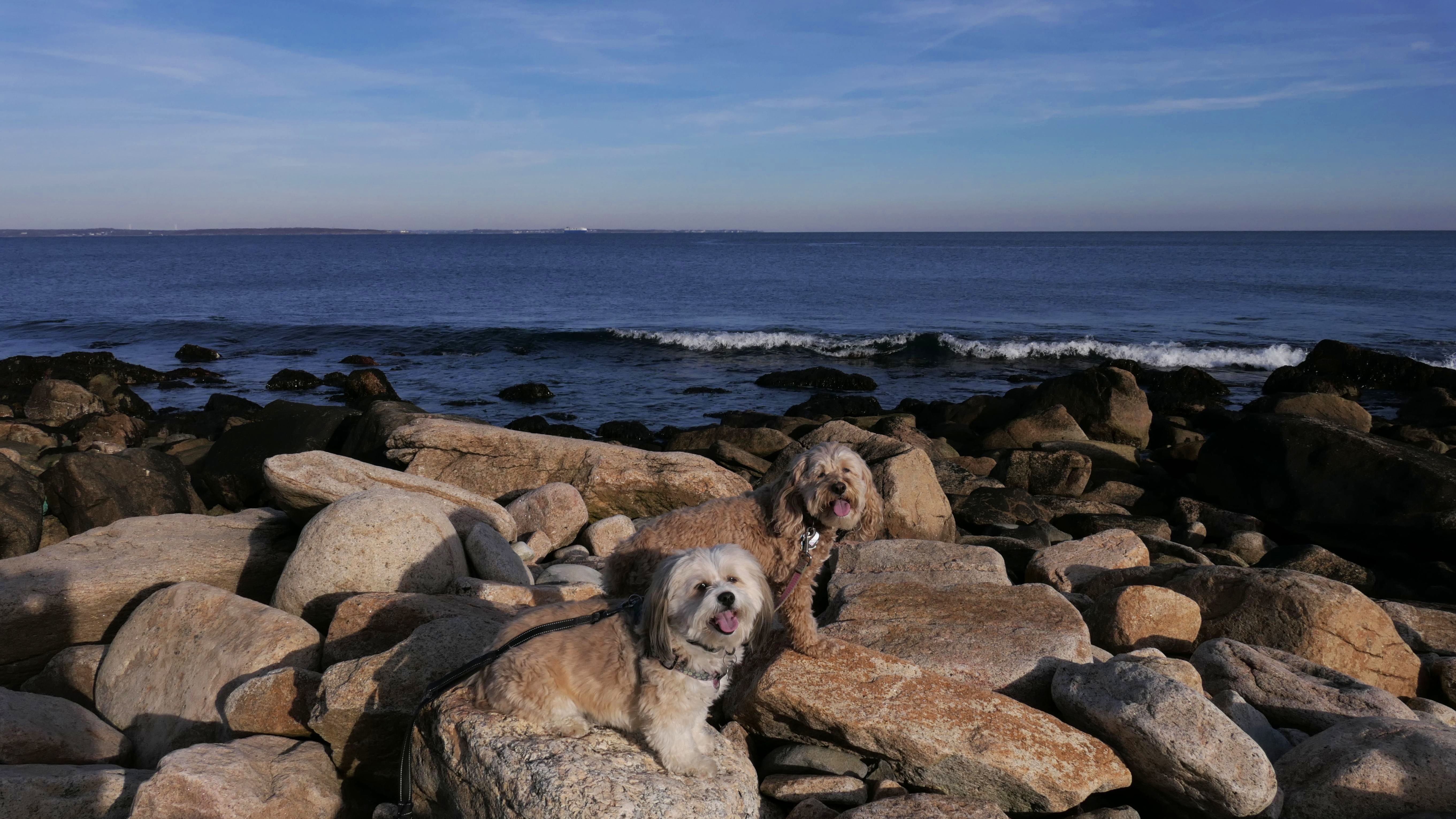
Black Point
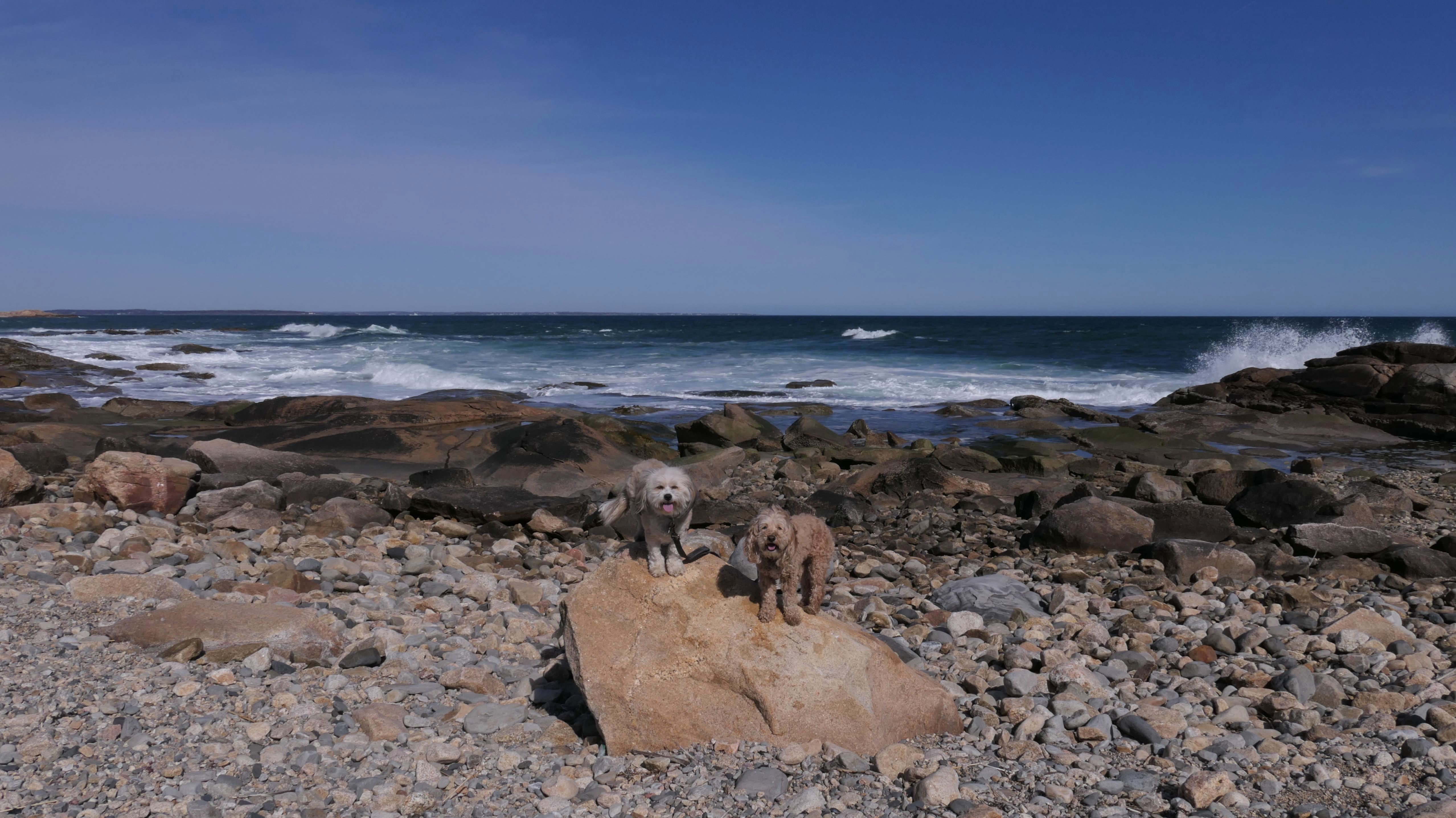
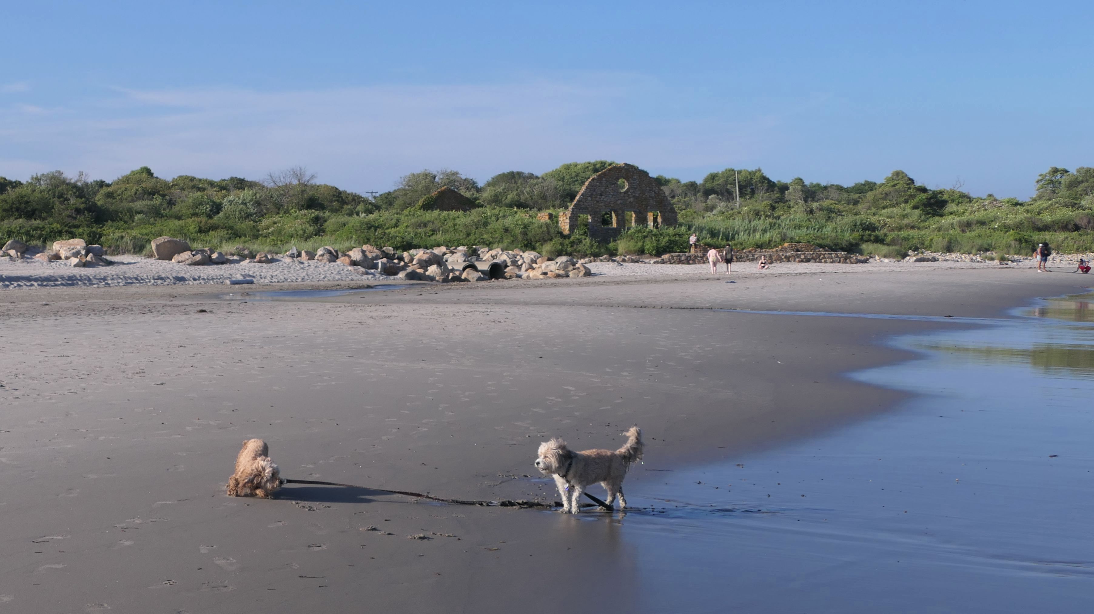
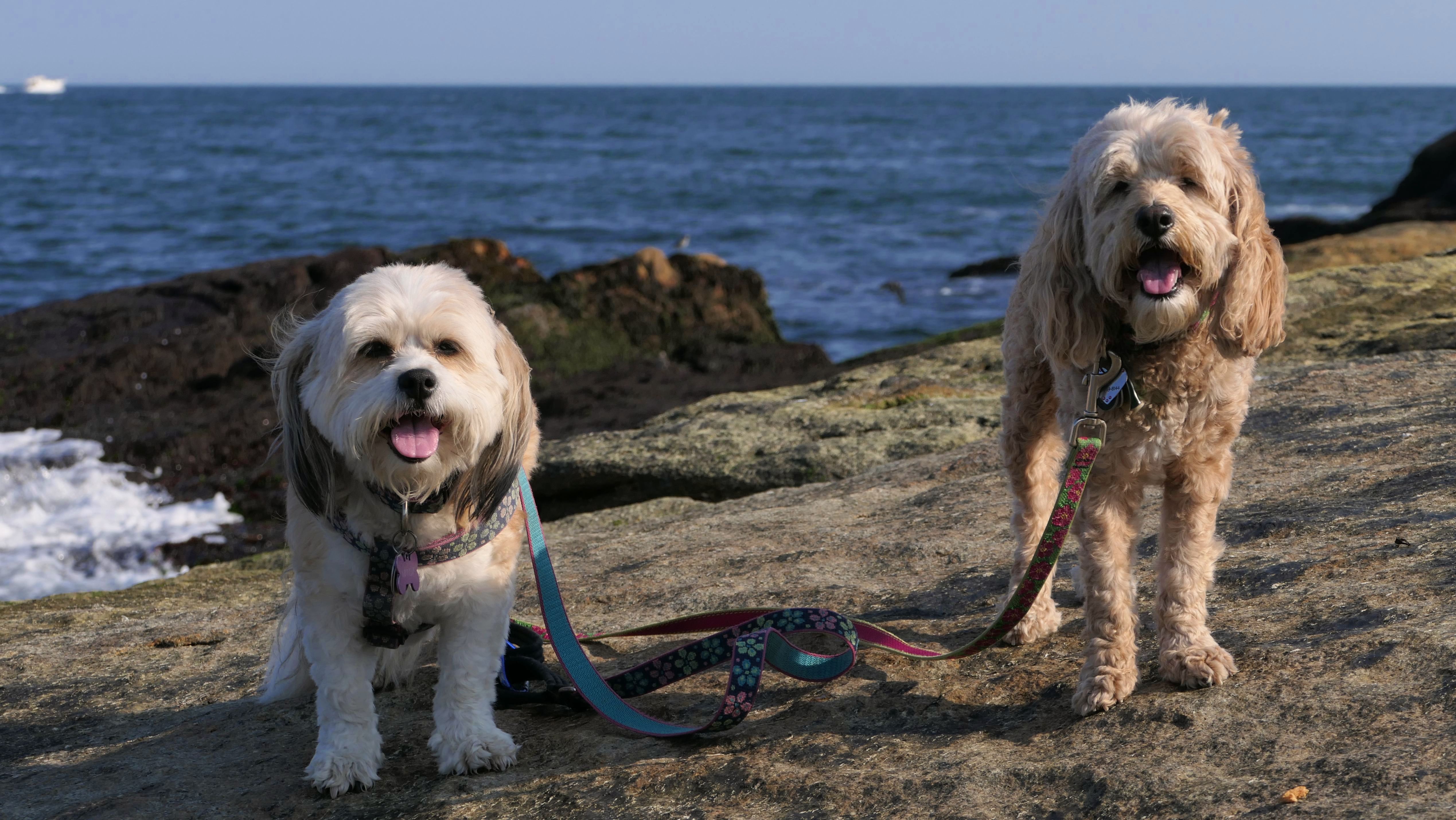
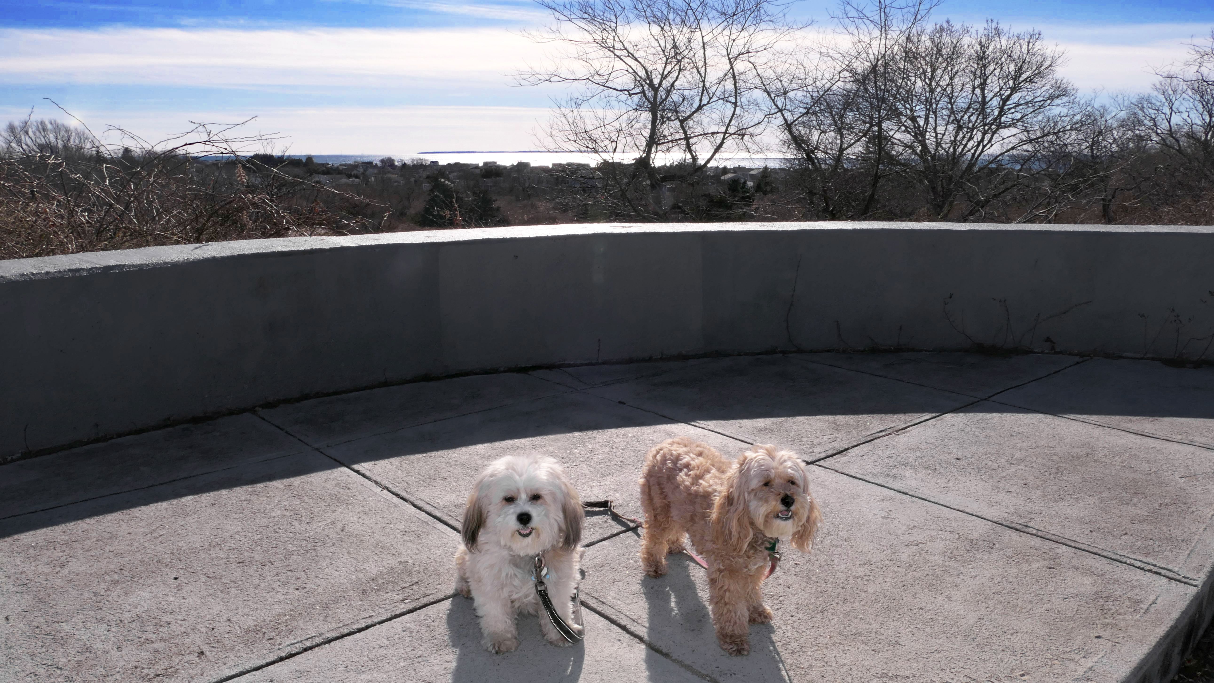
Date visited: 12/28/2025
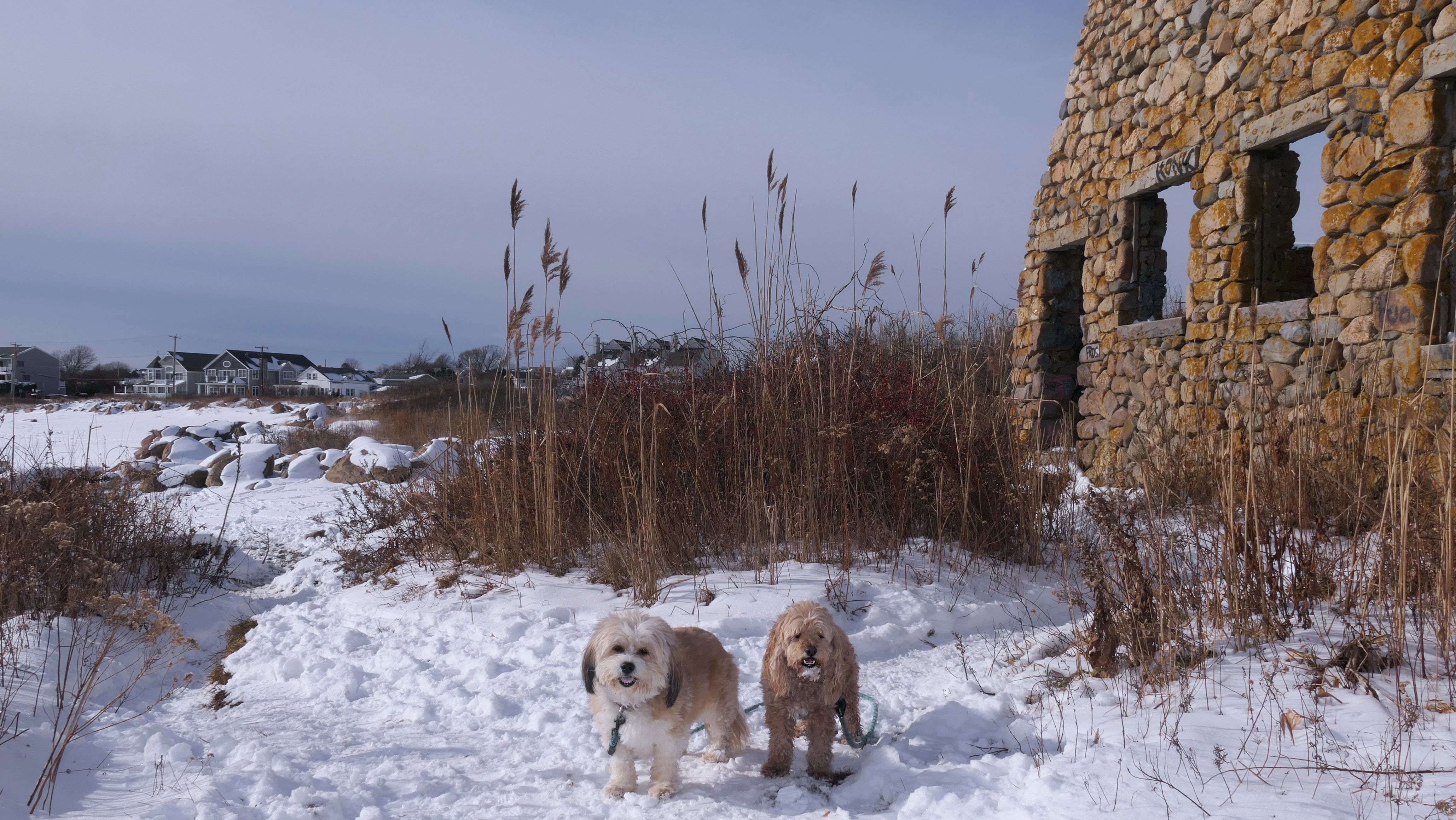
My brother was visiting from Colorado, and I wanted to take him to one of my favorite spots to bring the dogs. This is the first time we've ever been here with snow on the ground. That made this trip feel unique! We stuck mostly to the trail, though we did try to explore the rocks a bit. The snow and ice made navigating them a challenge. After reaching the ruins, we continued along Scarborough Beach for a short stretch before turning around and heading back.
More Images
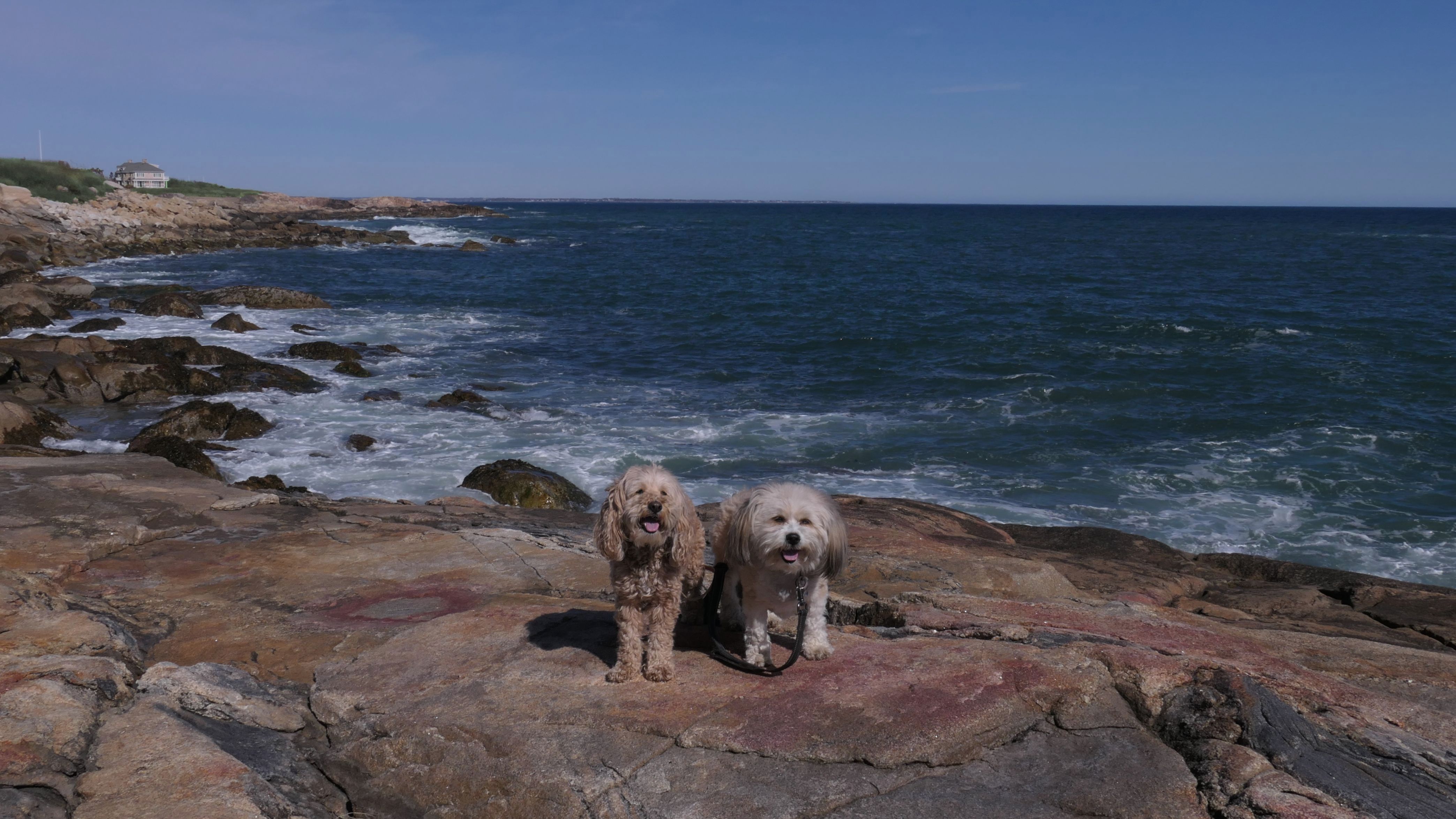
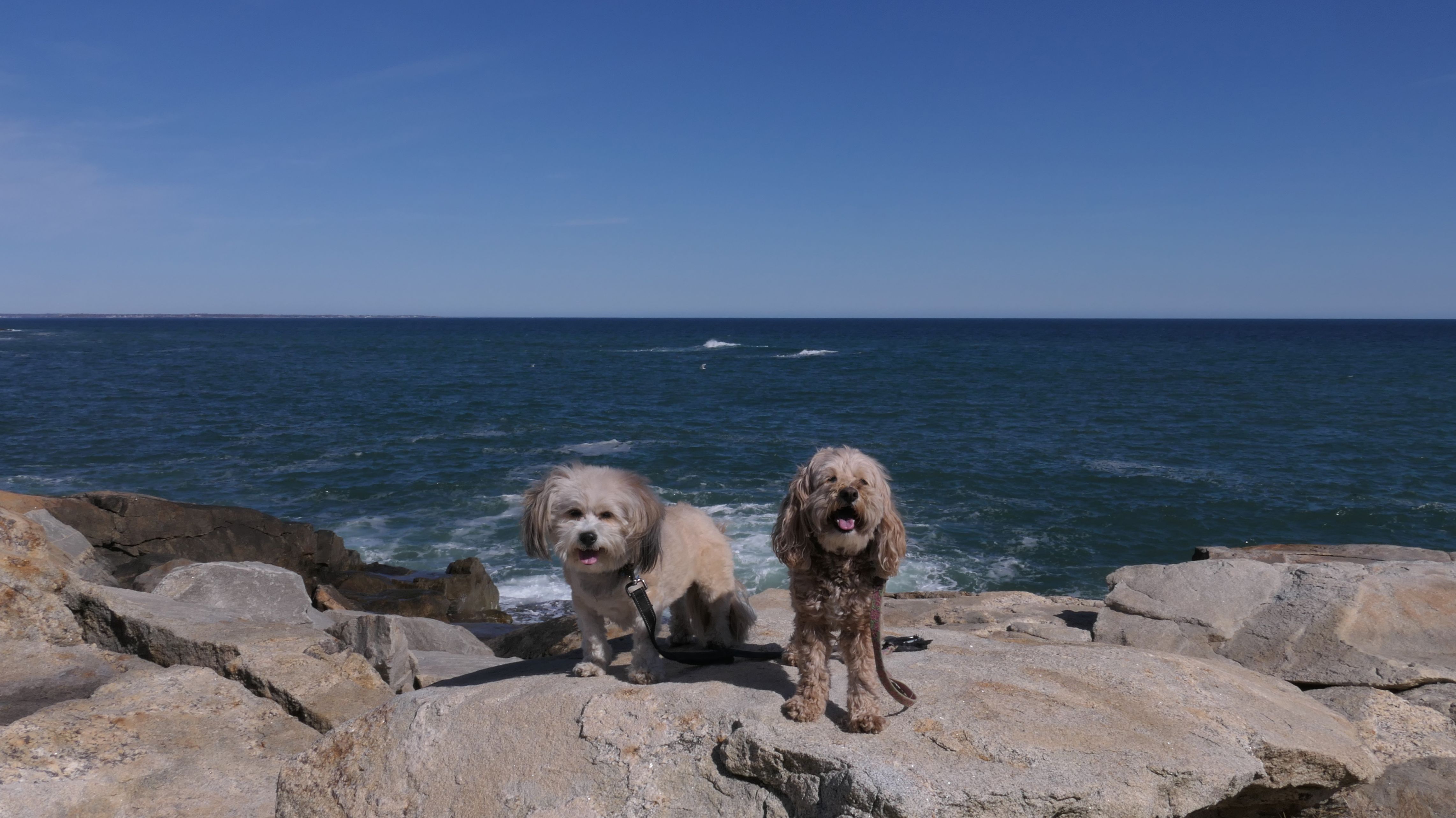
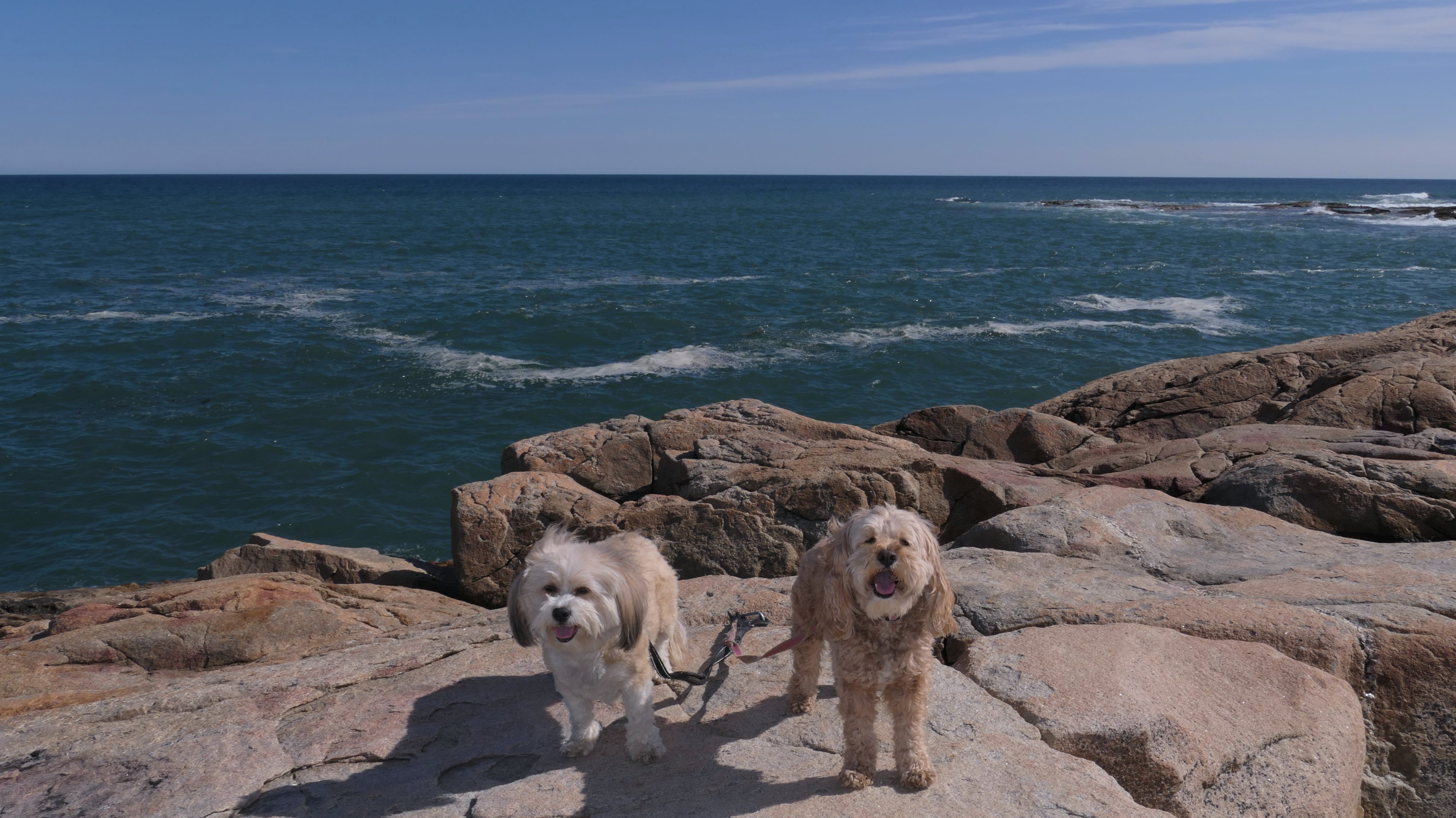
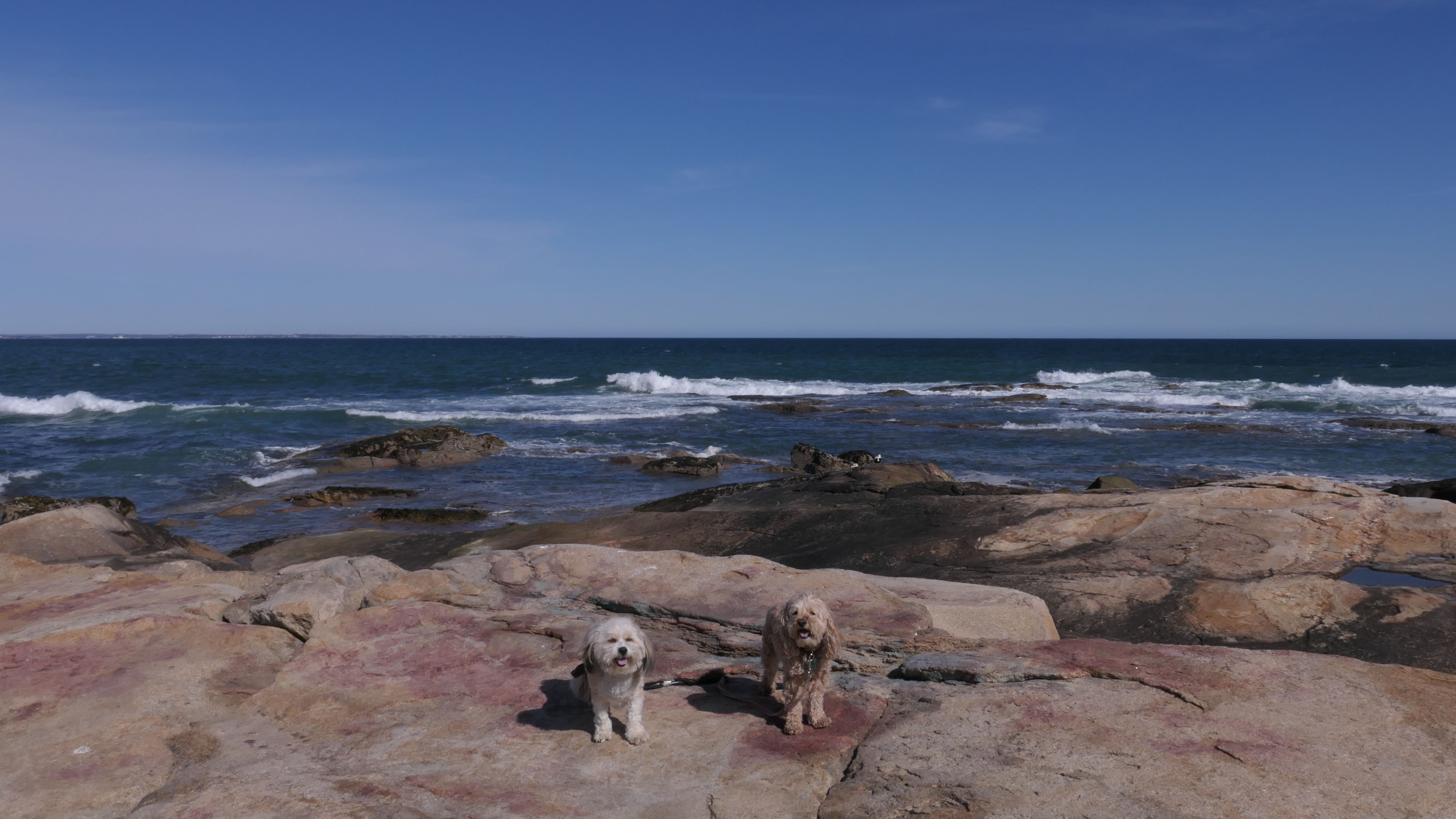
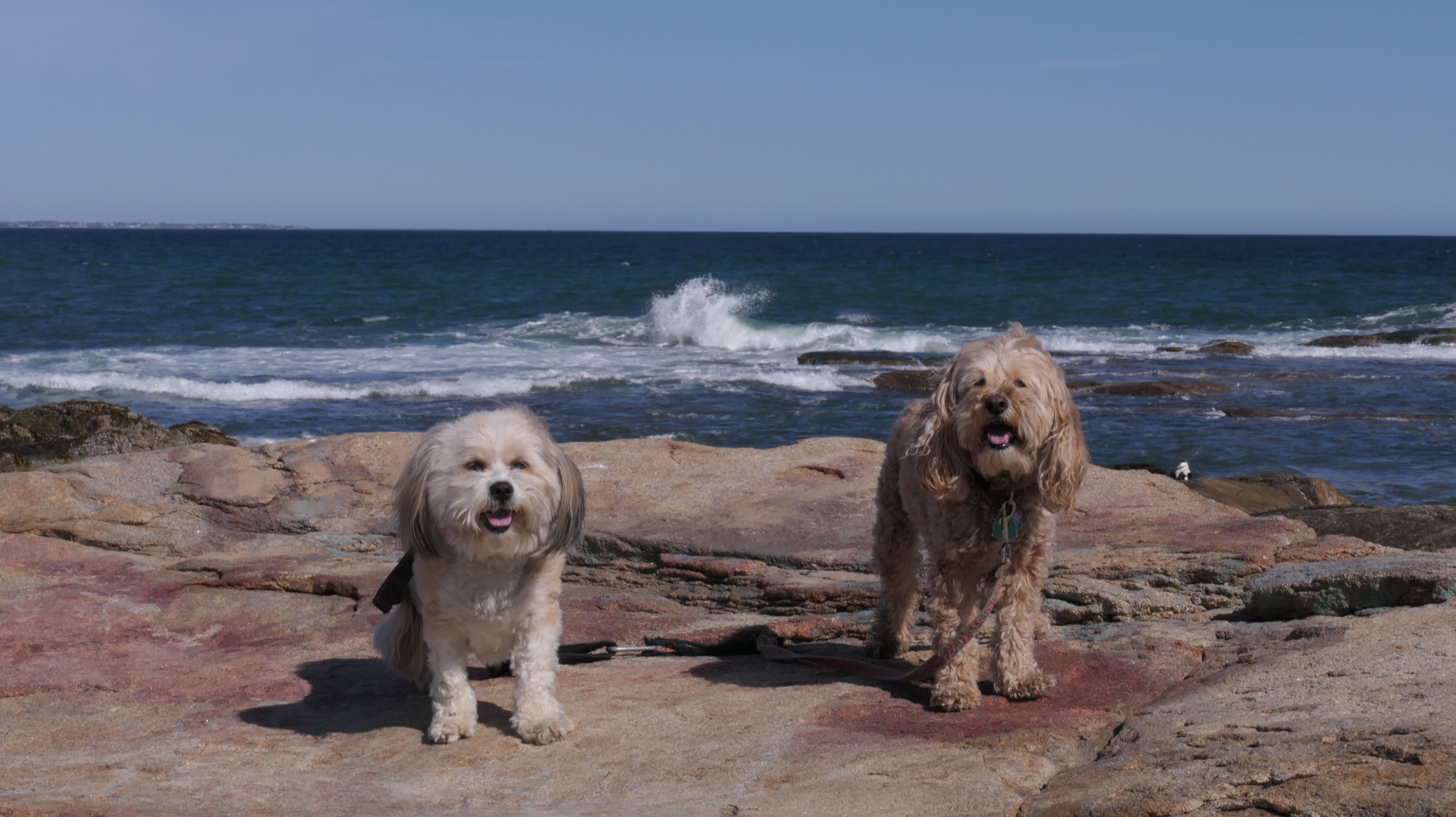
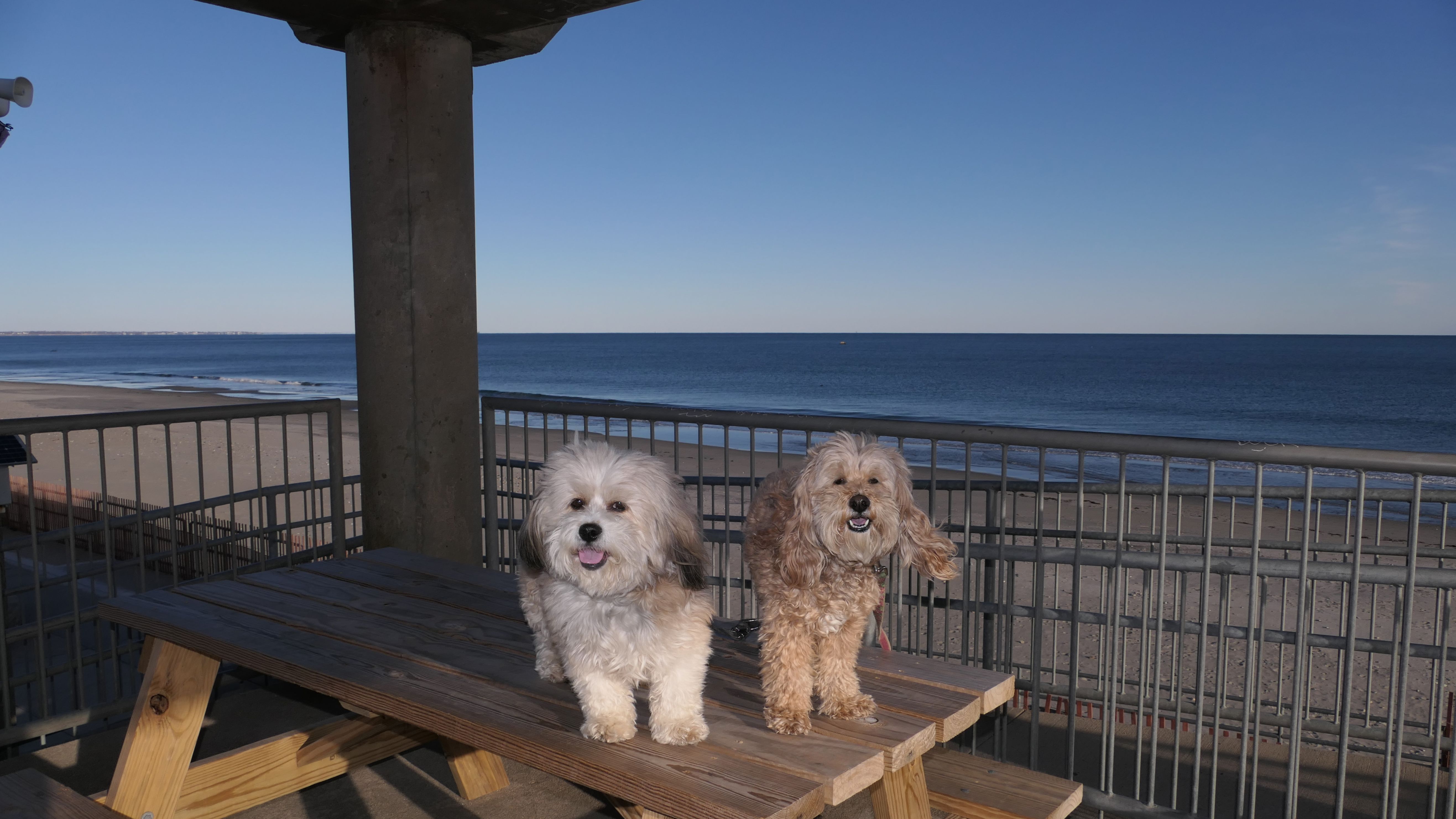
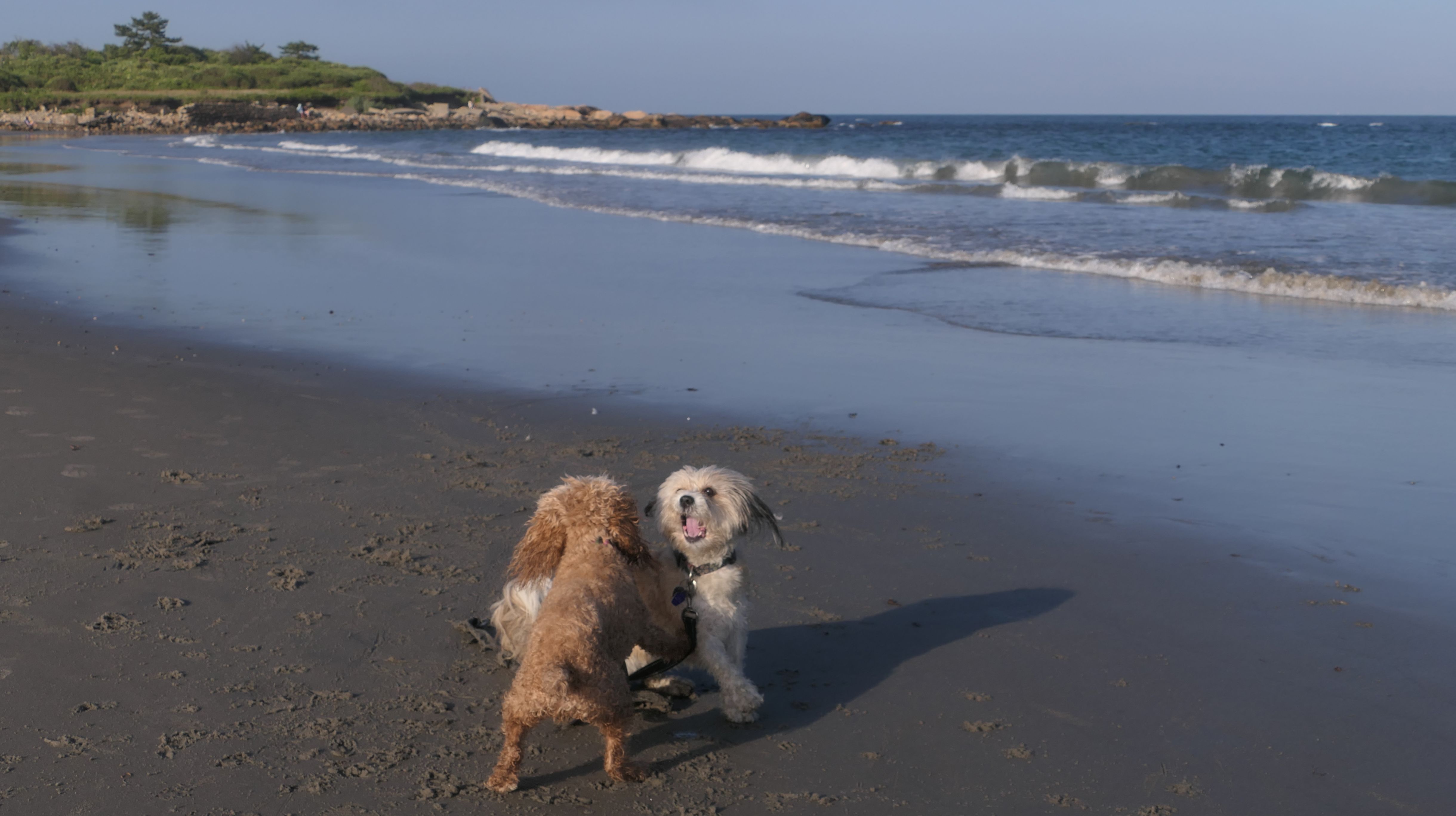
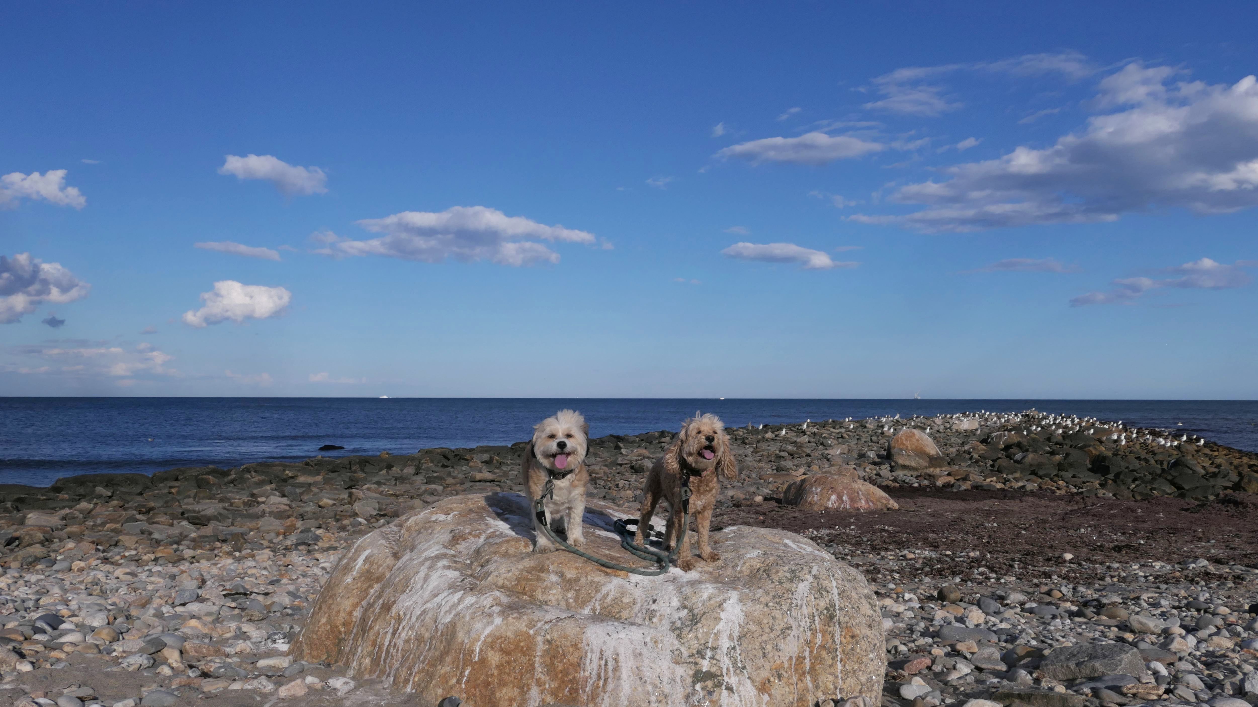
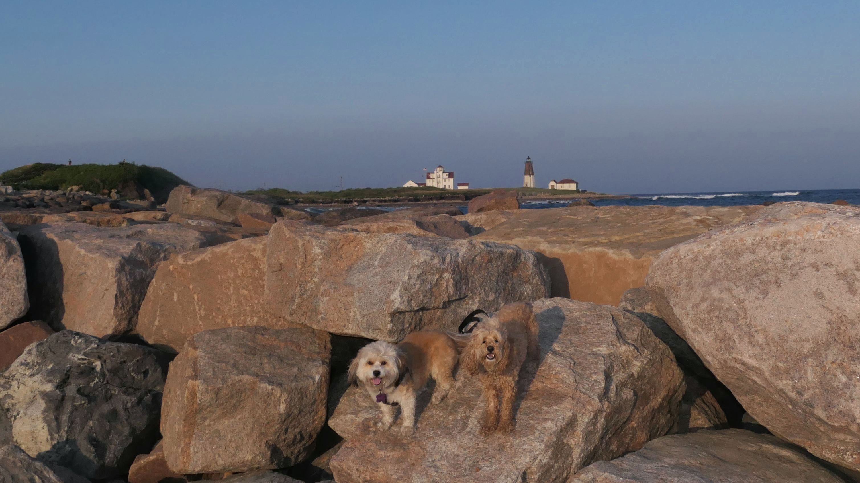
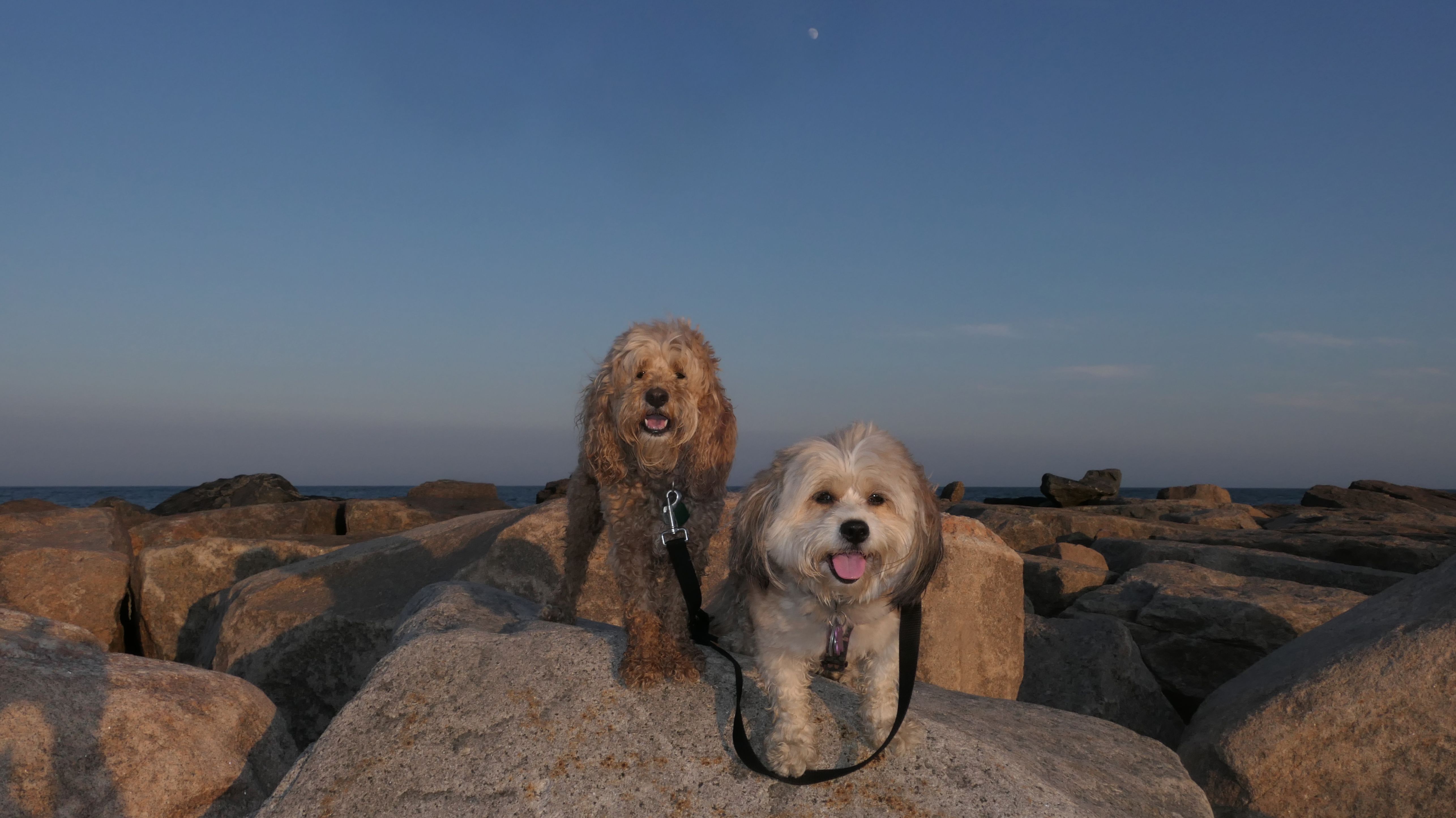
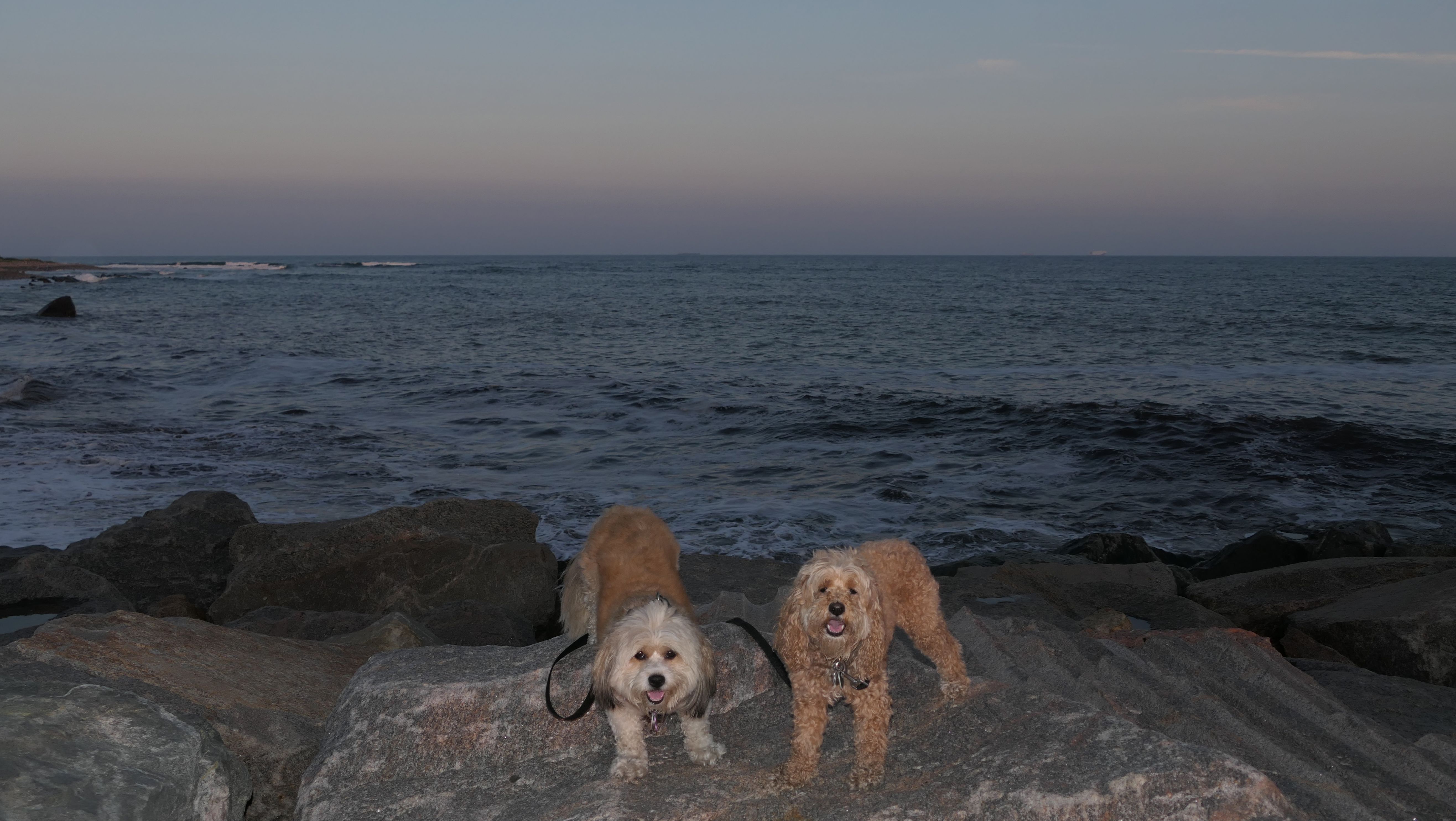
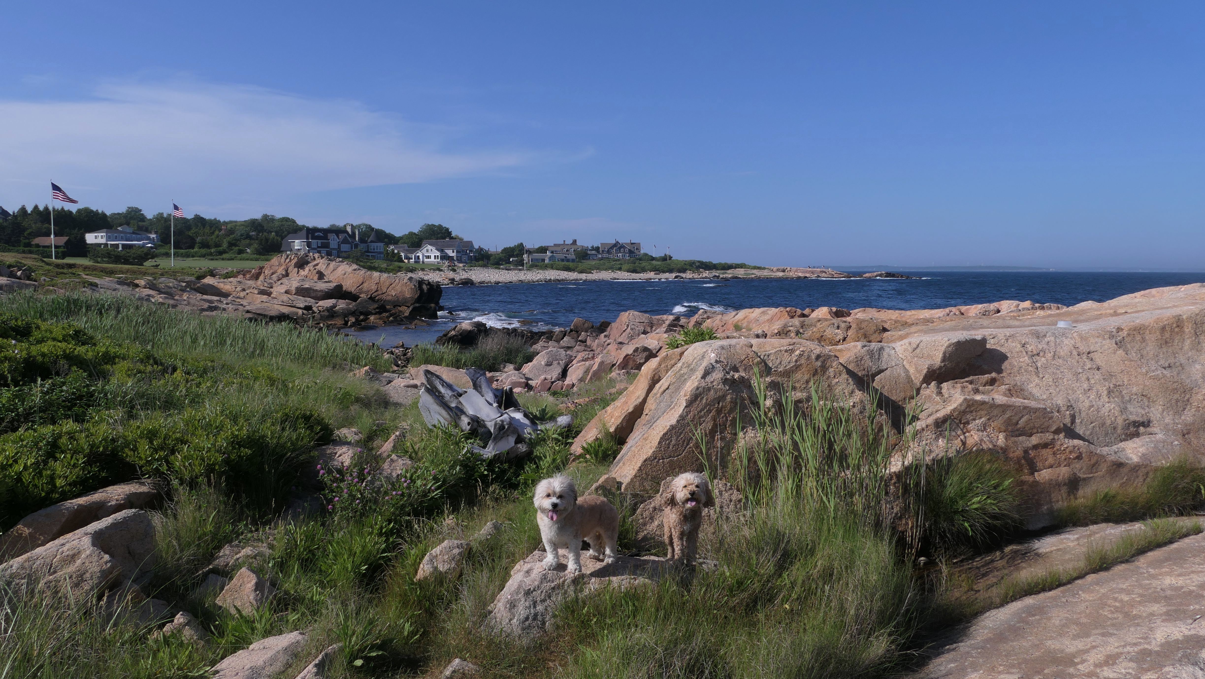
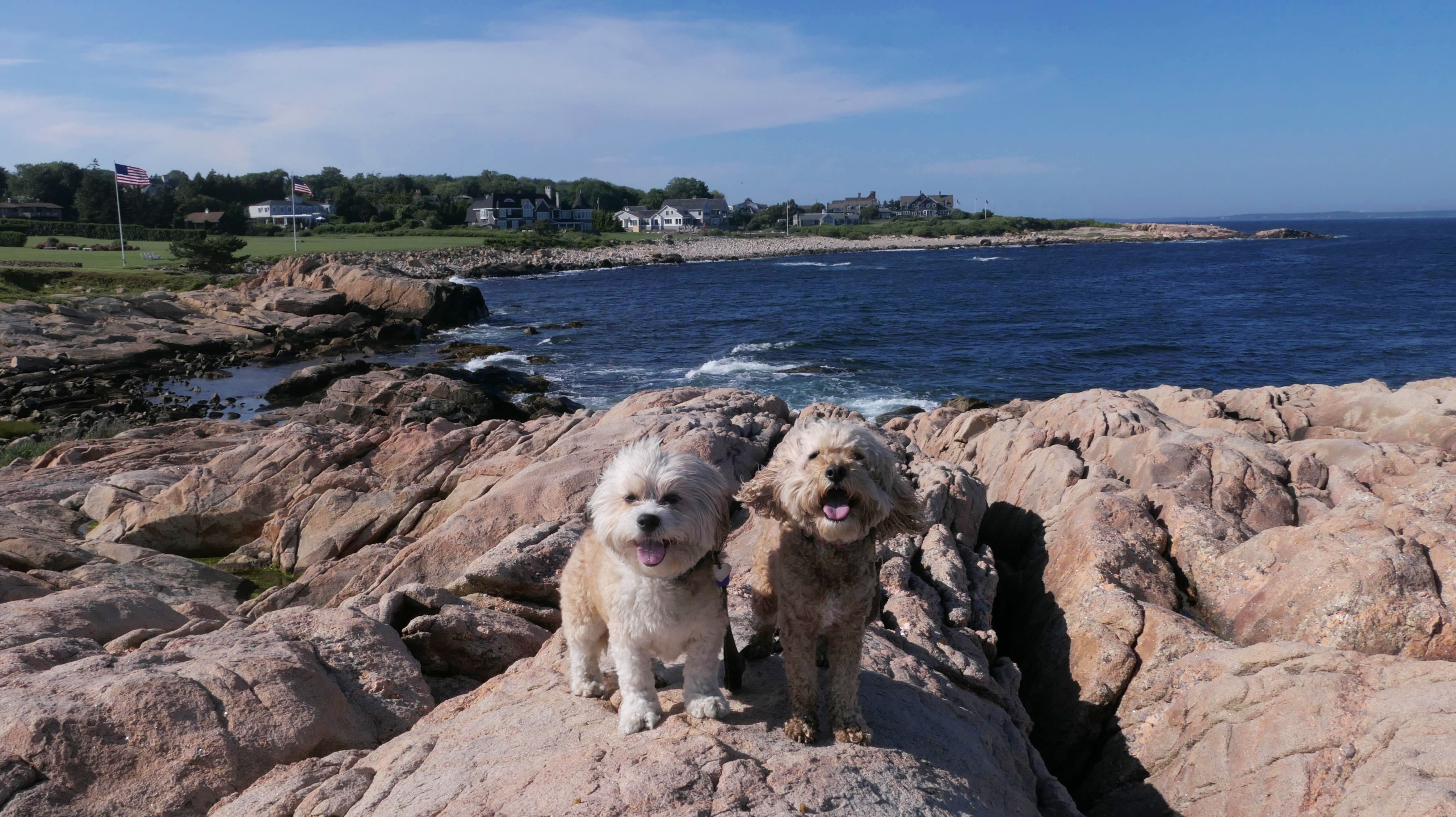
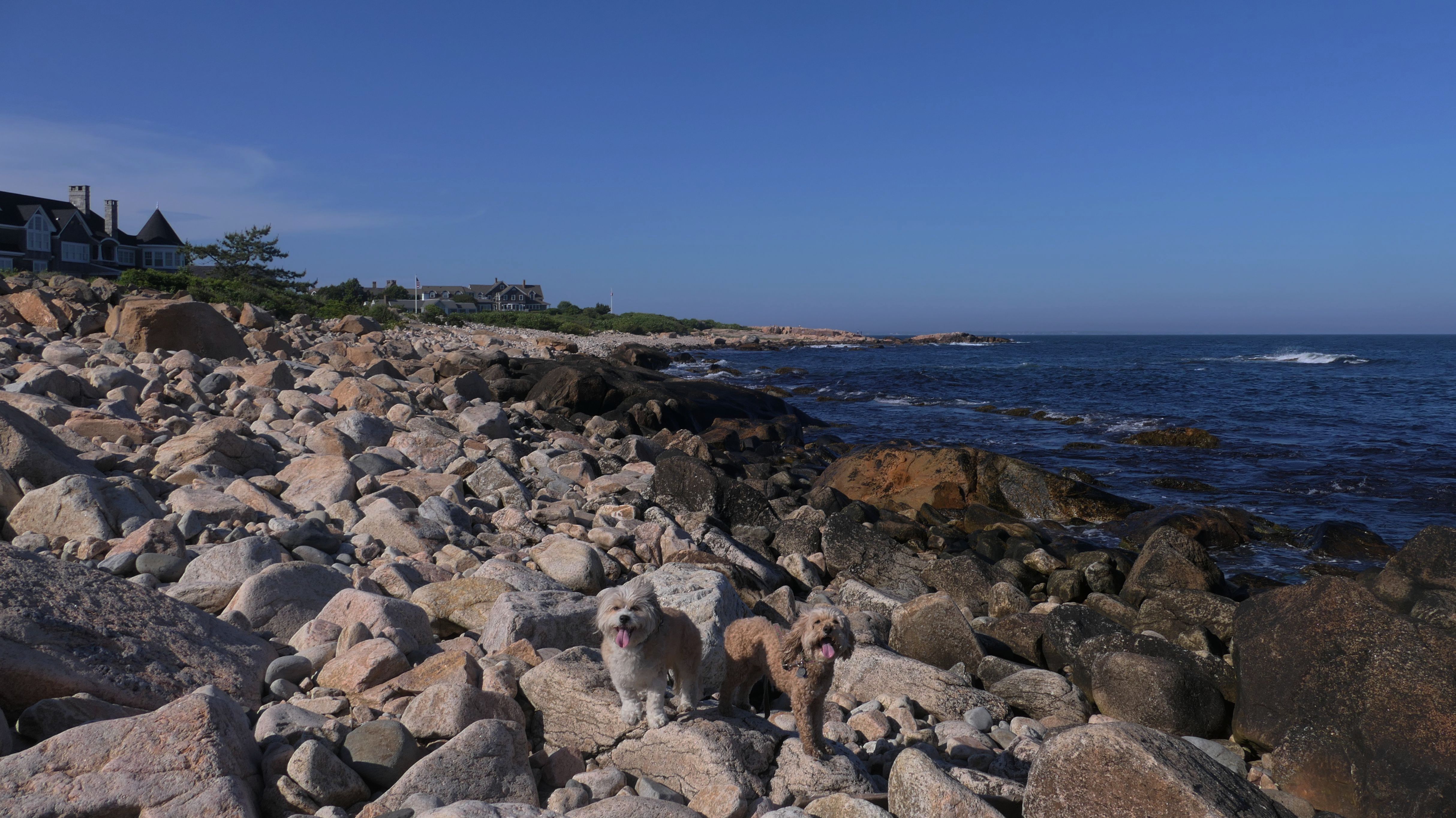
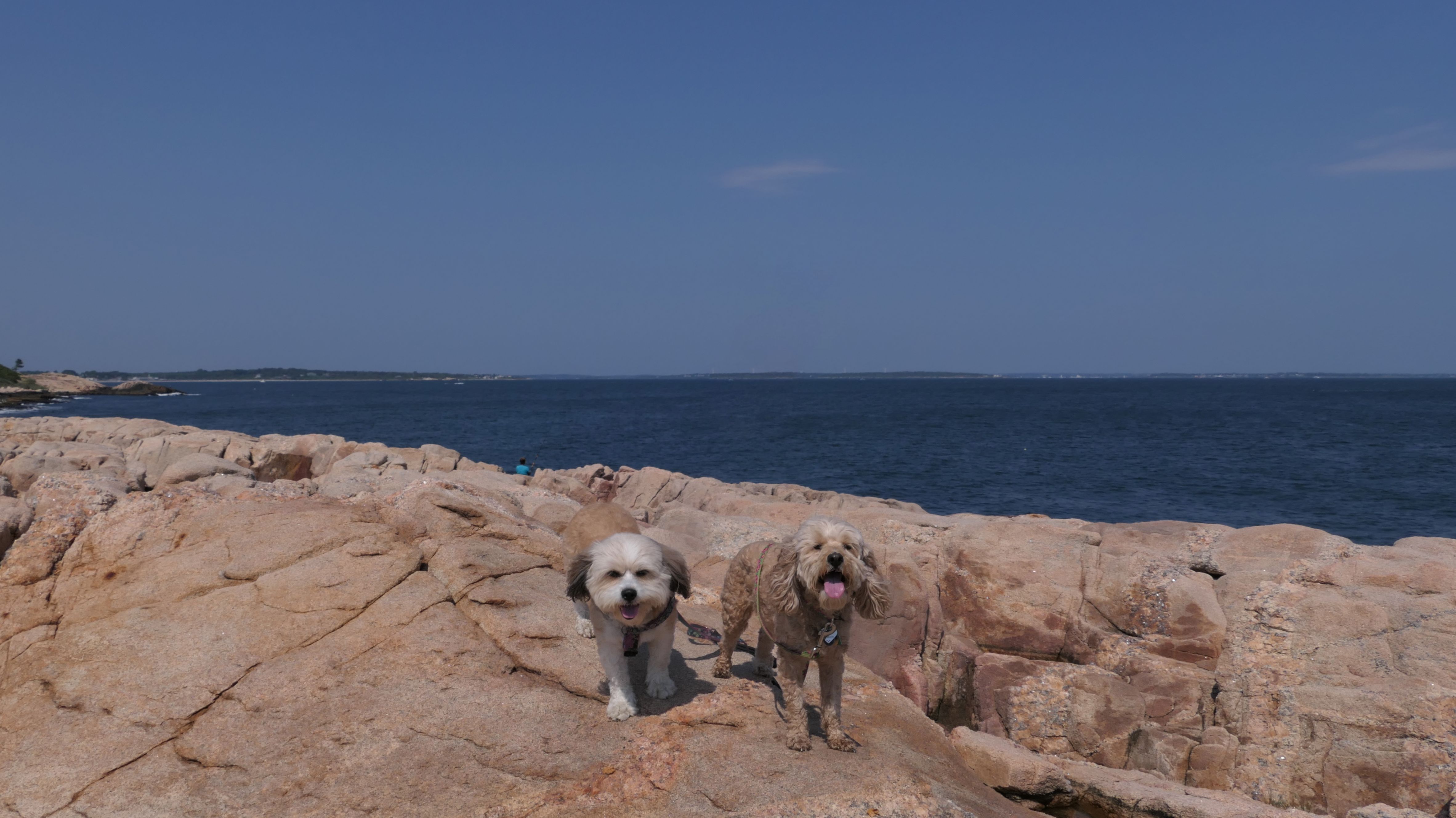
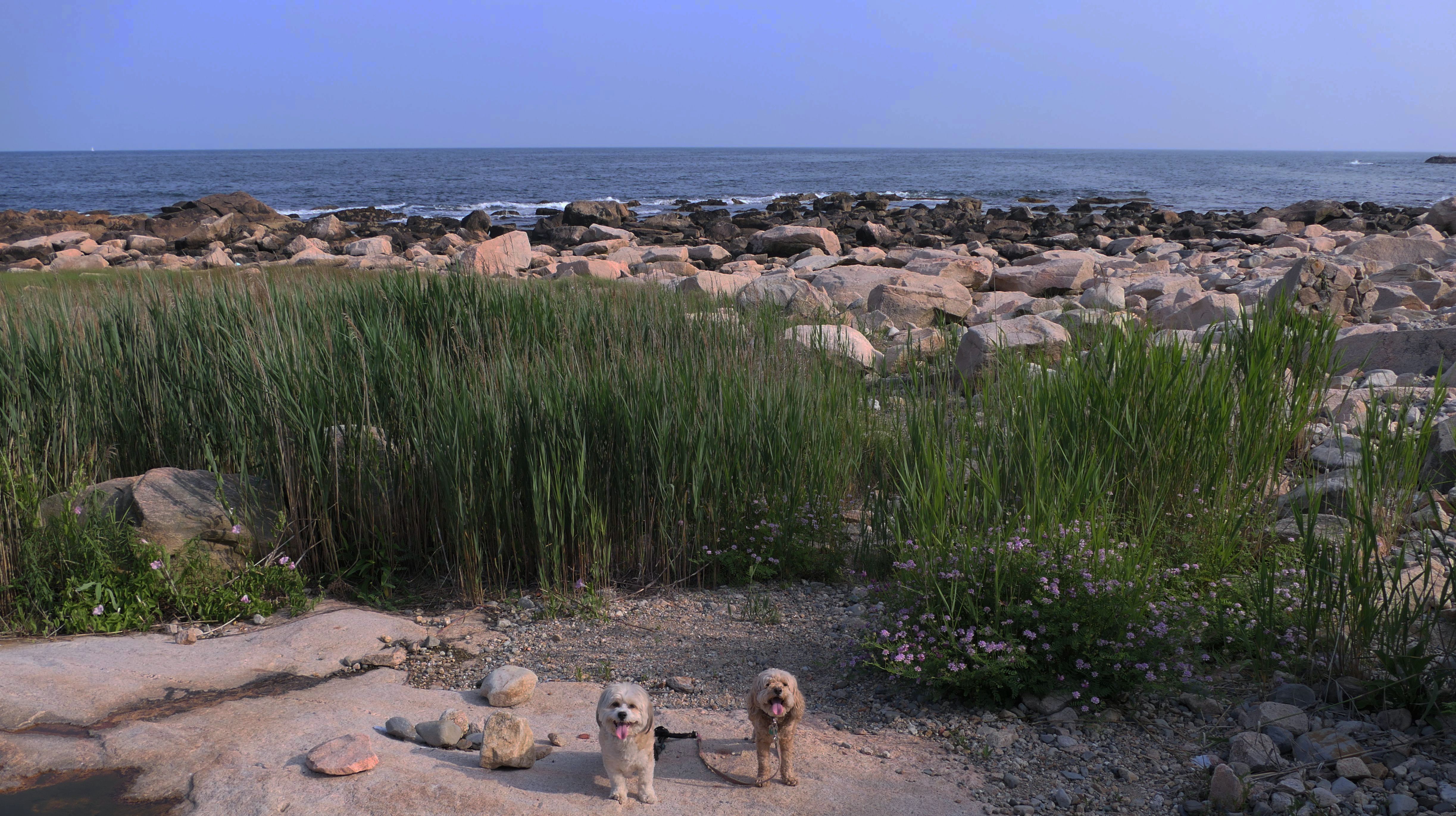
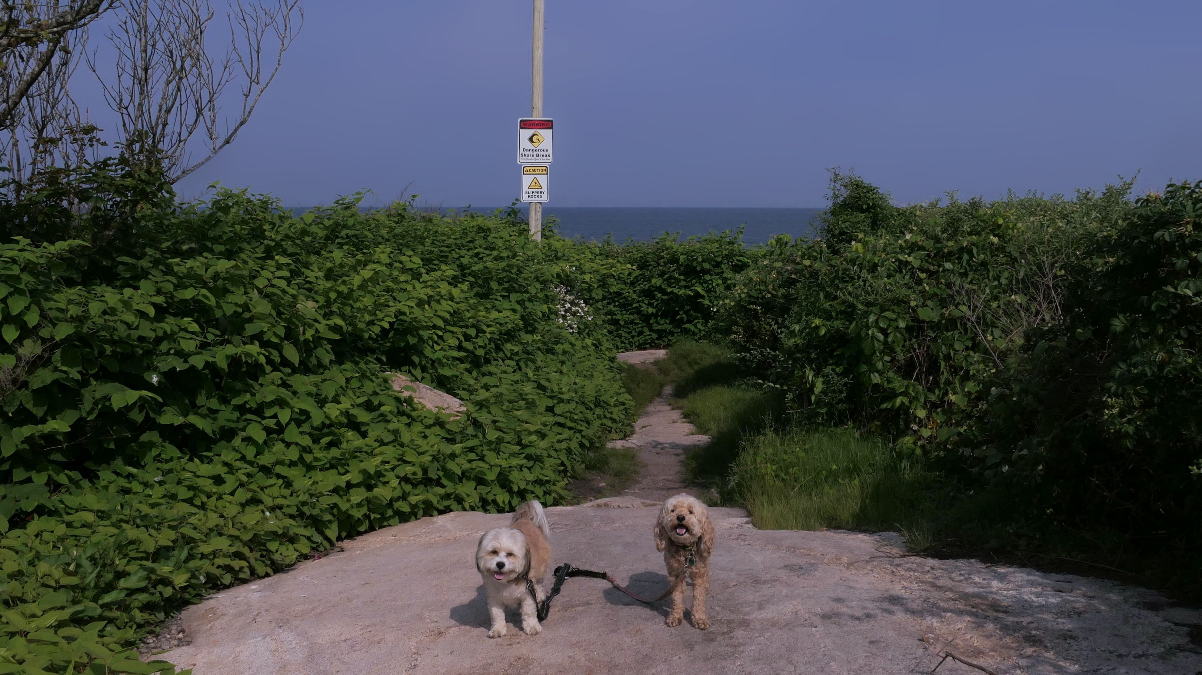
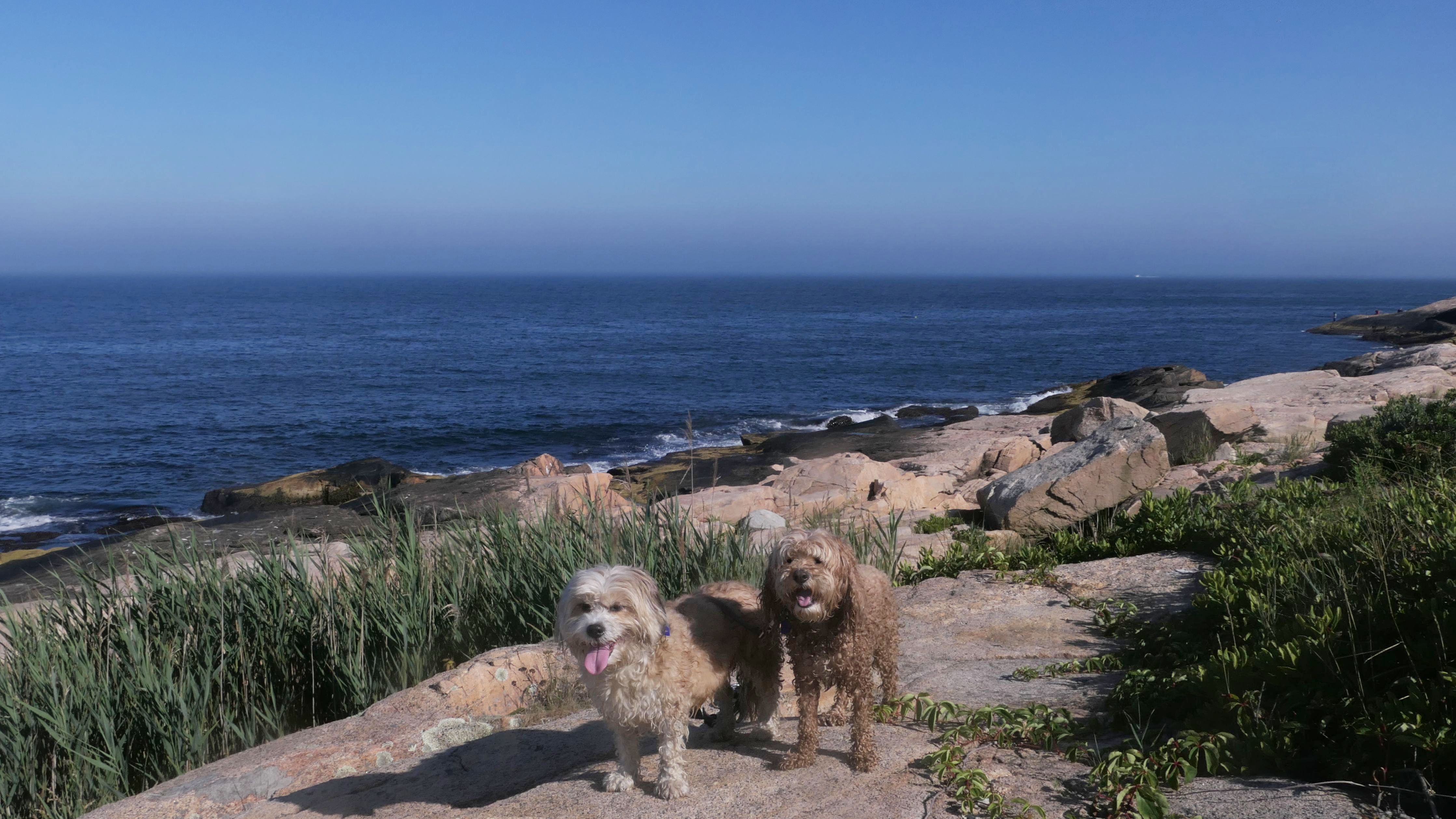
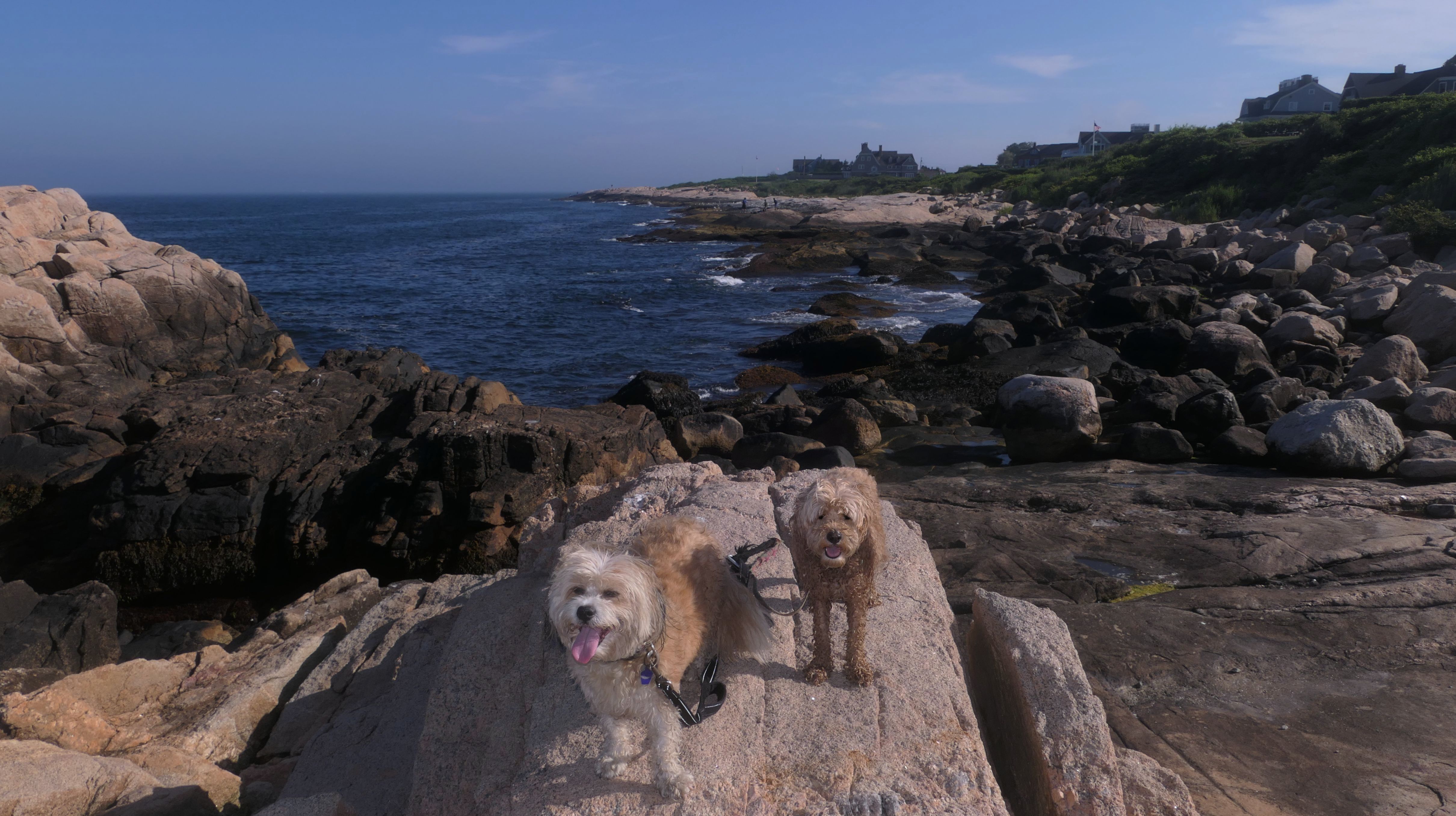
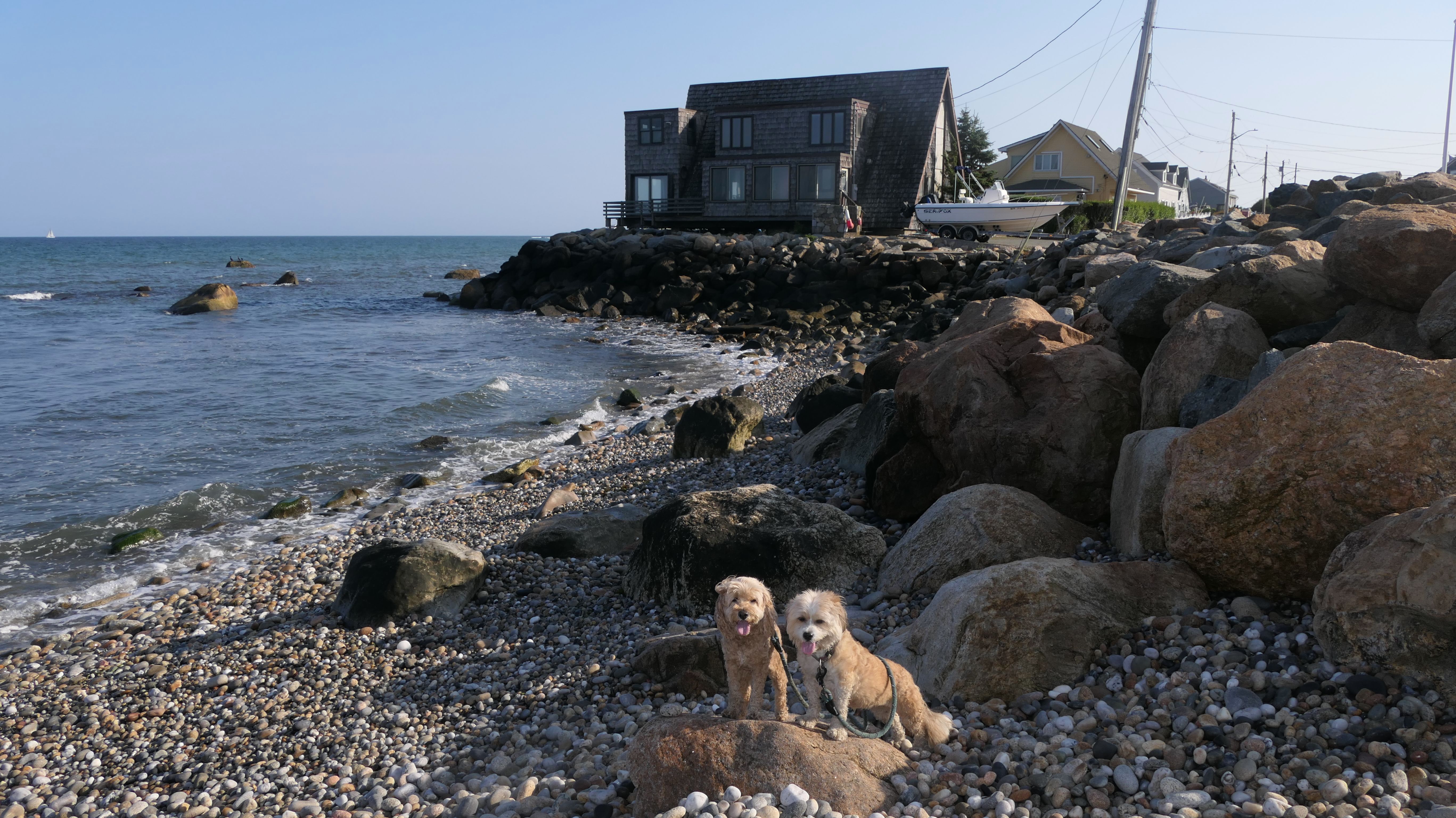
Black Point
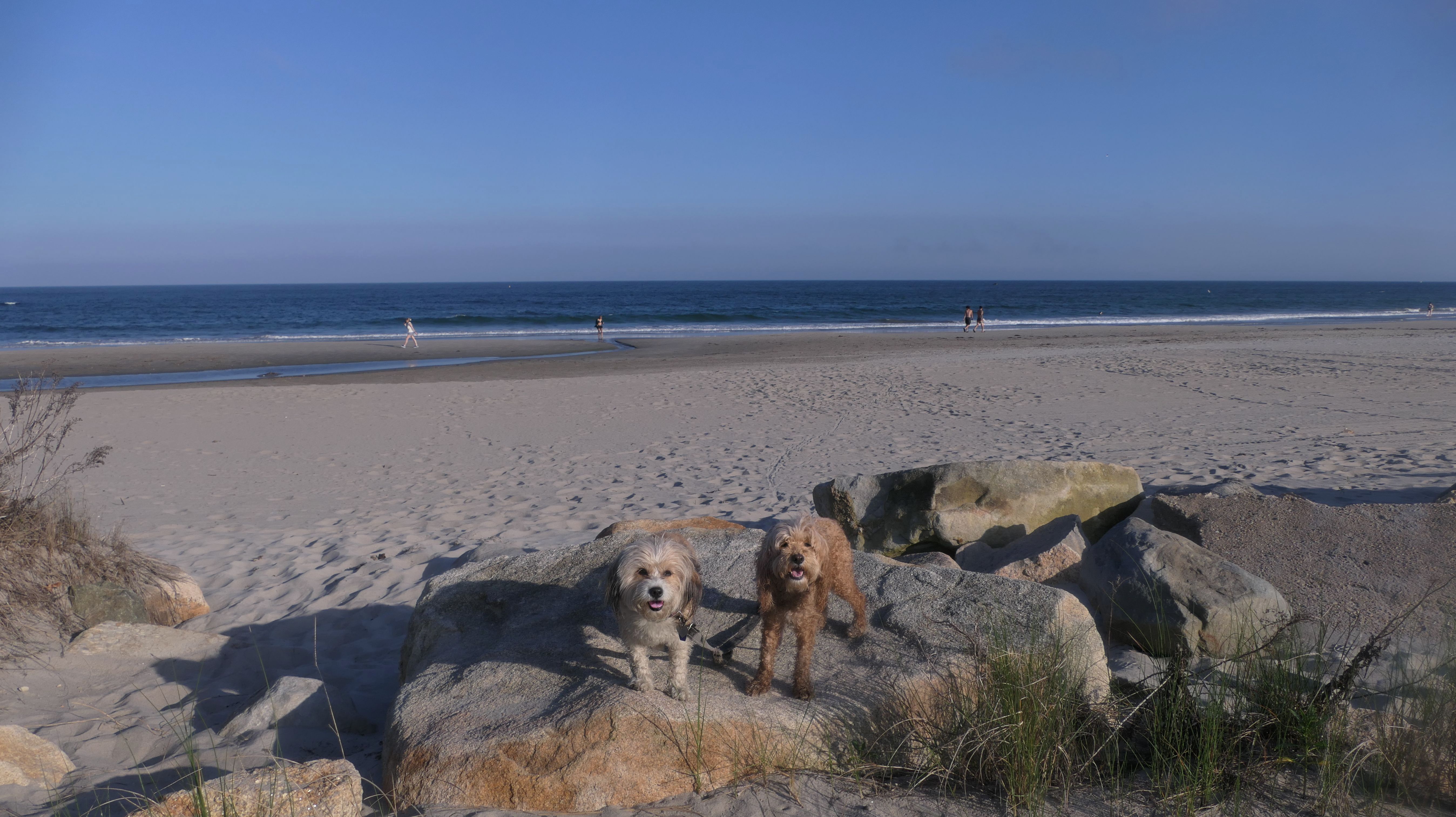
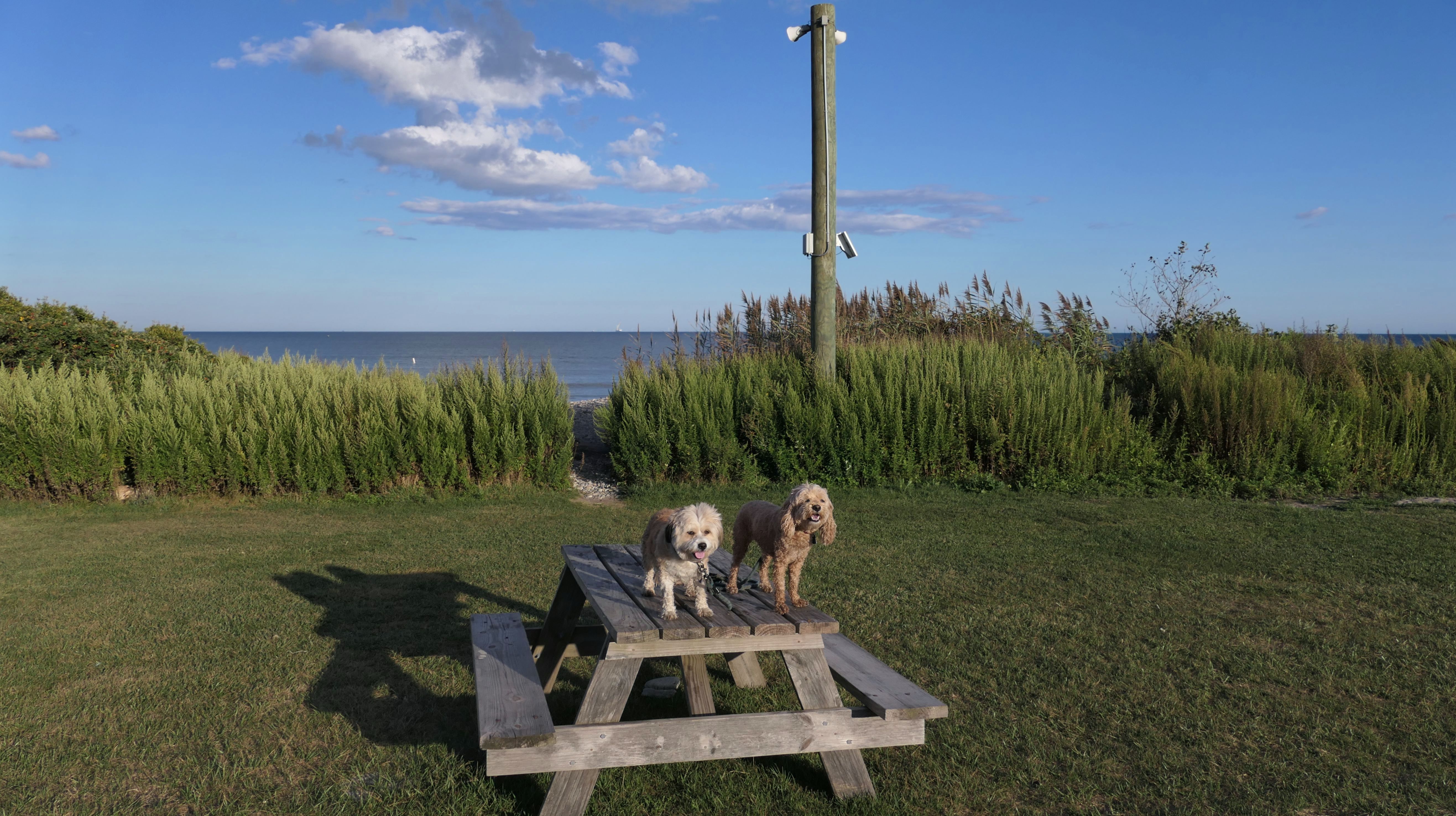
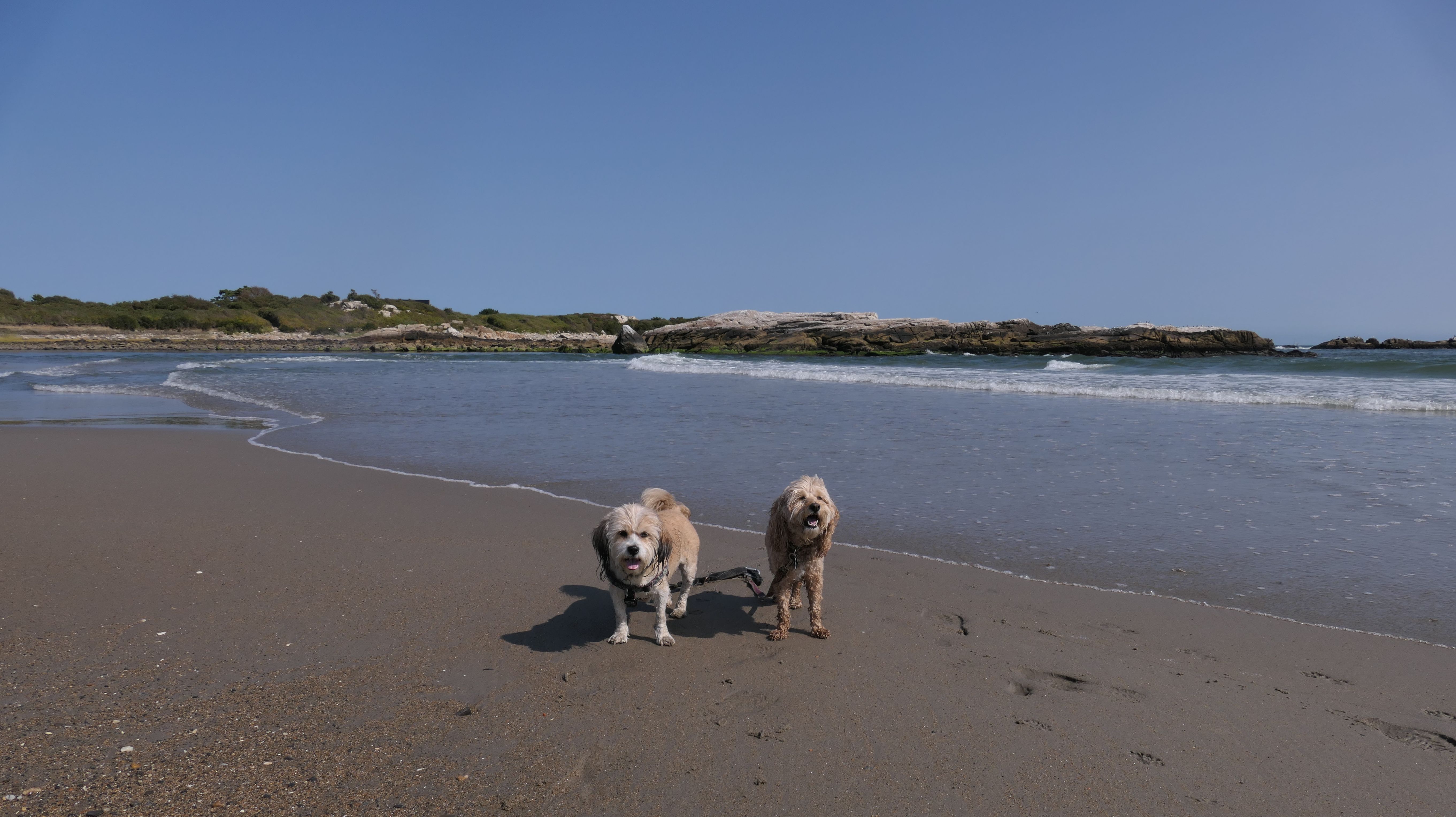
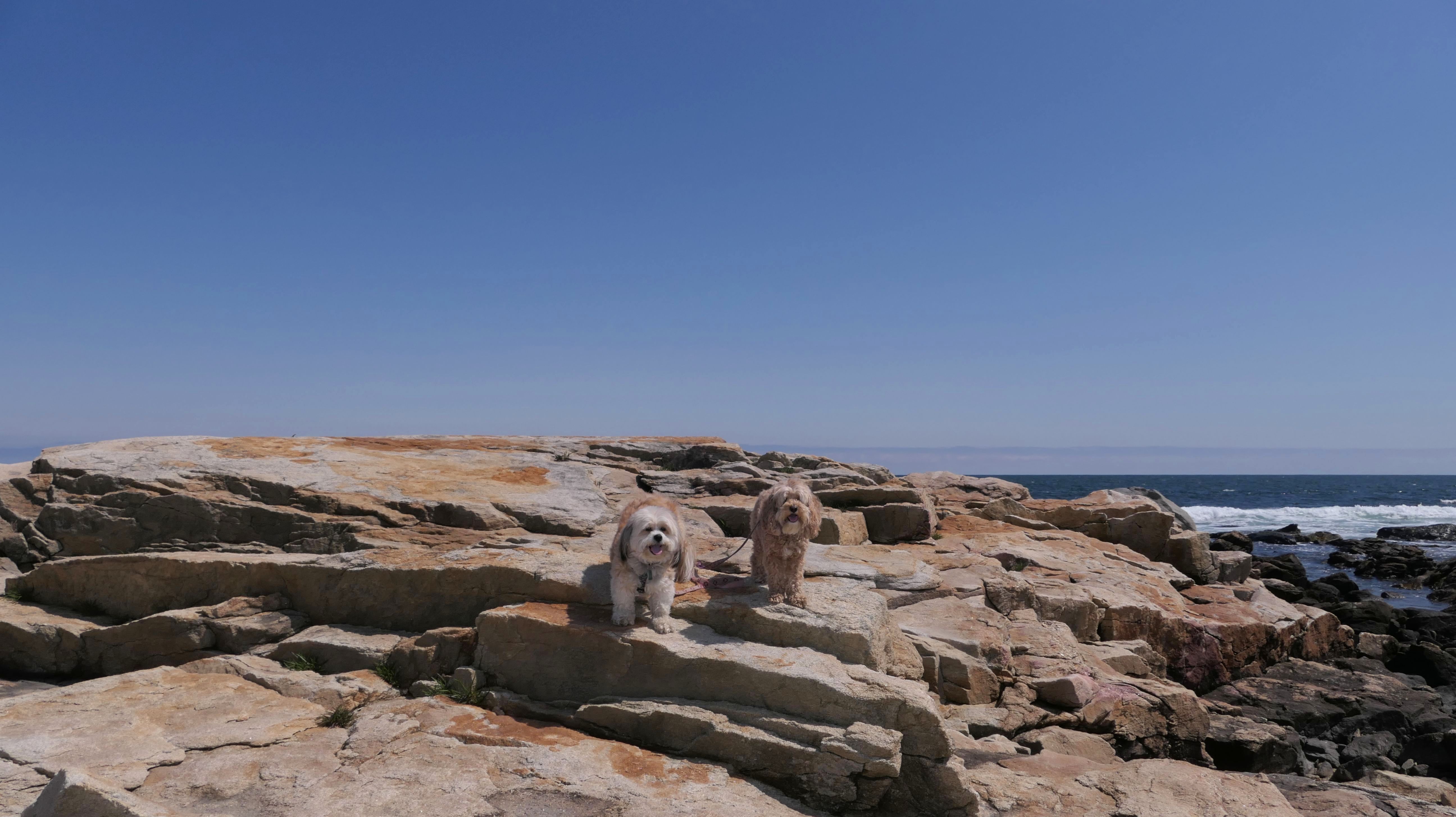
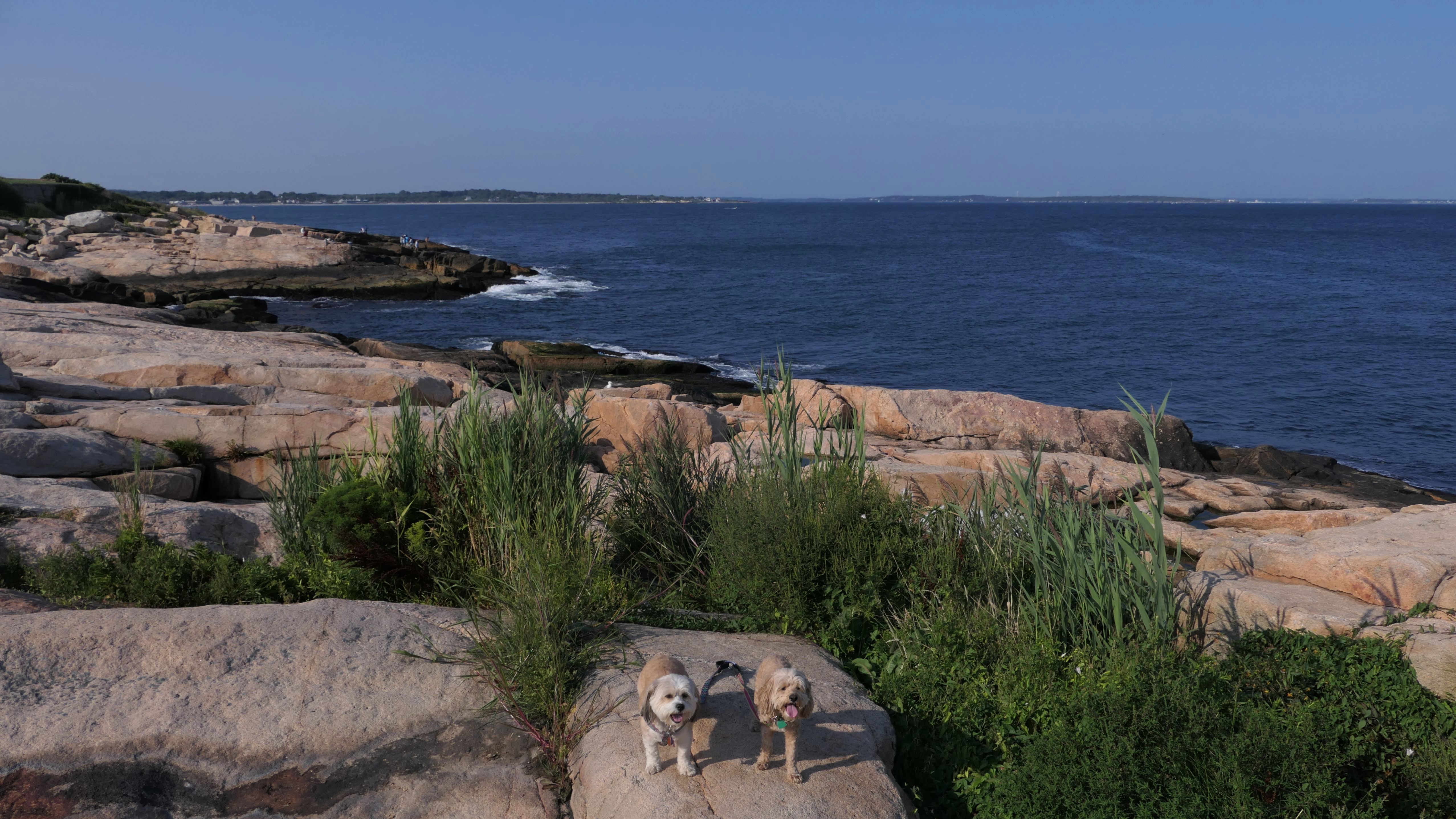
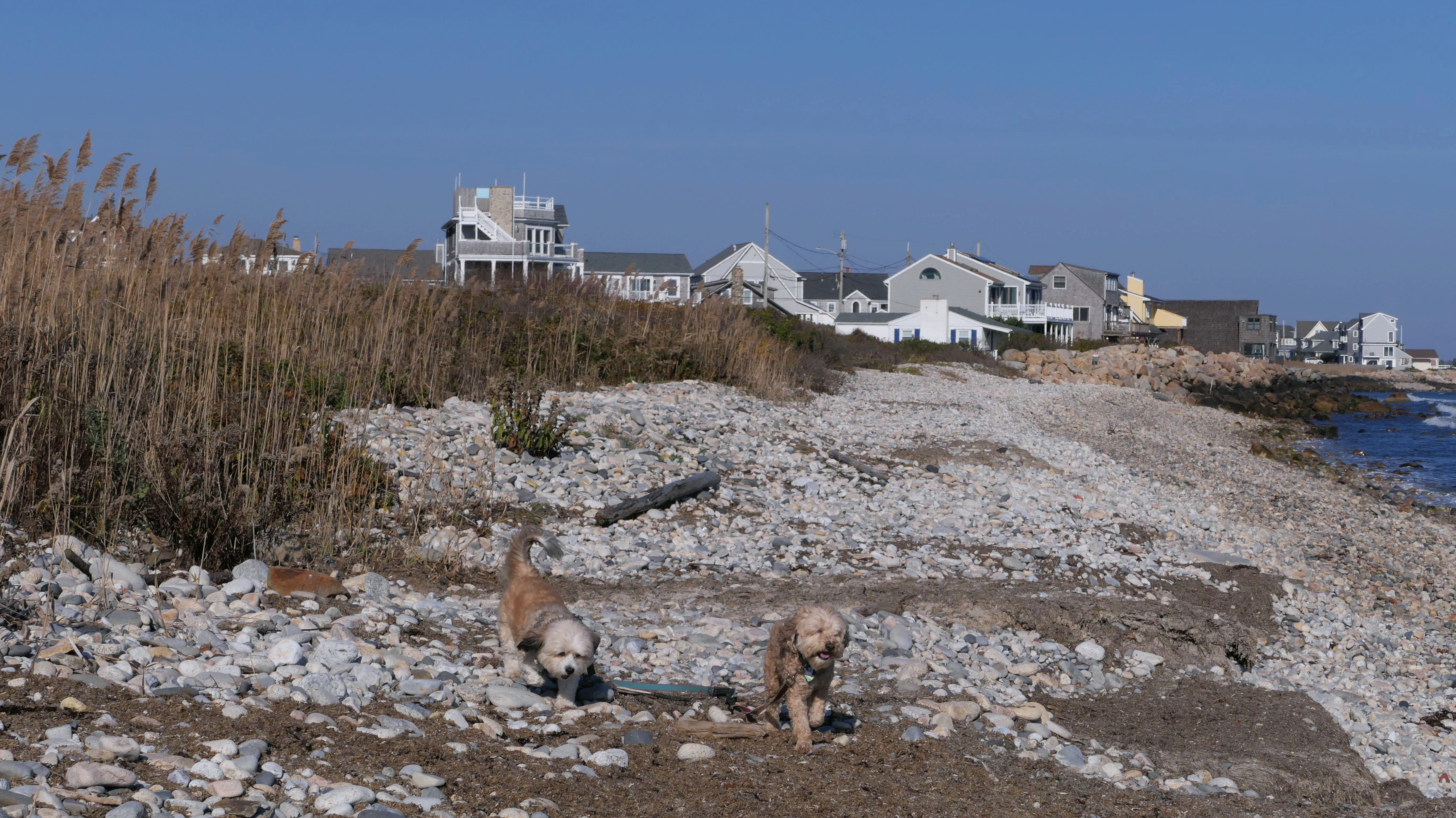
Date visited: 5/18/2026
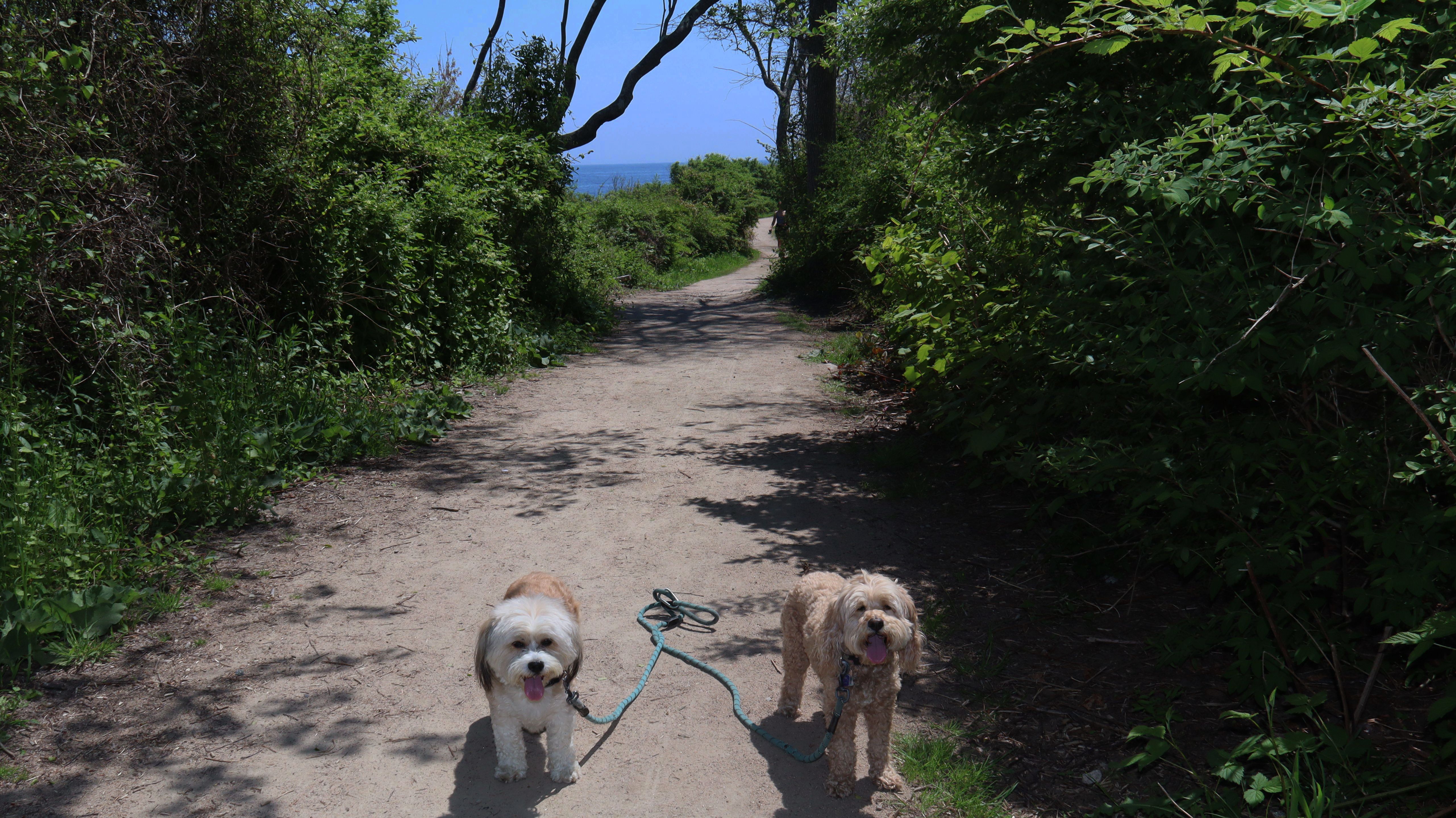
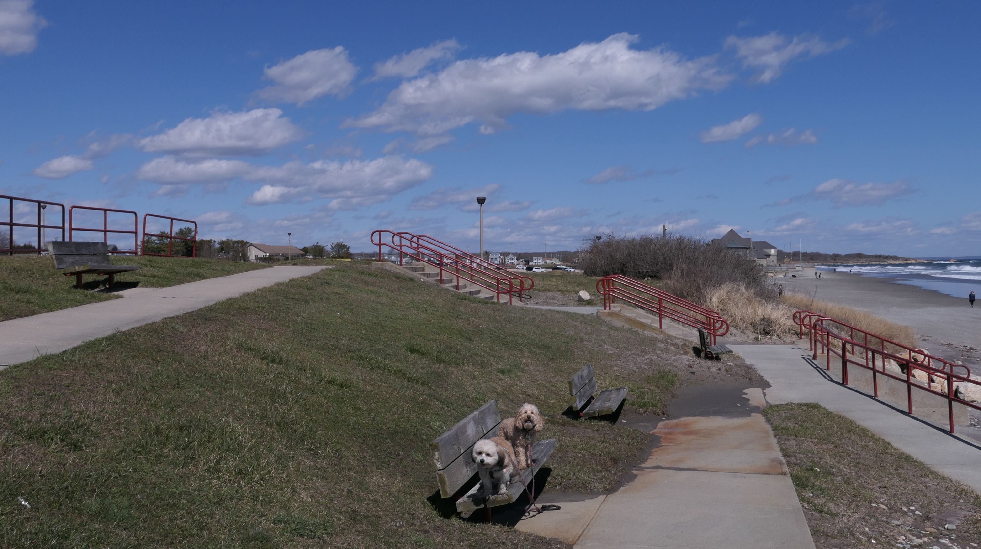
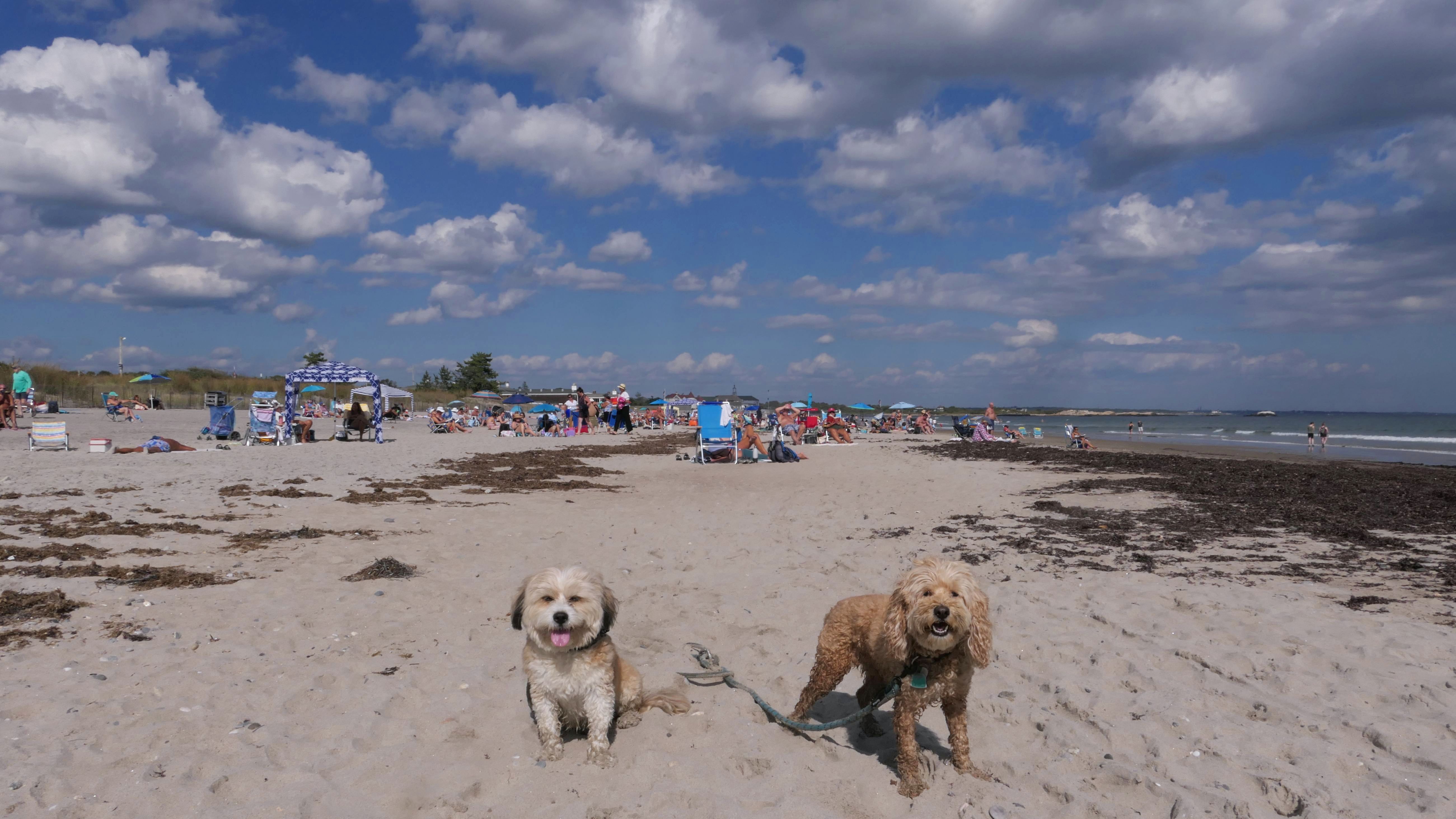
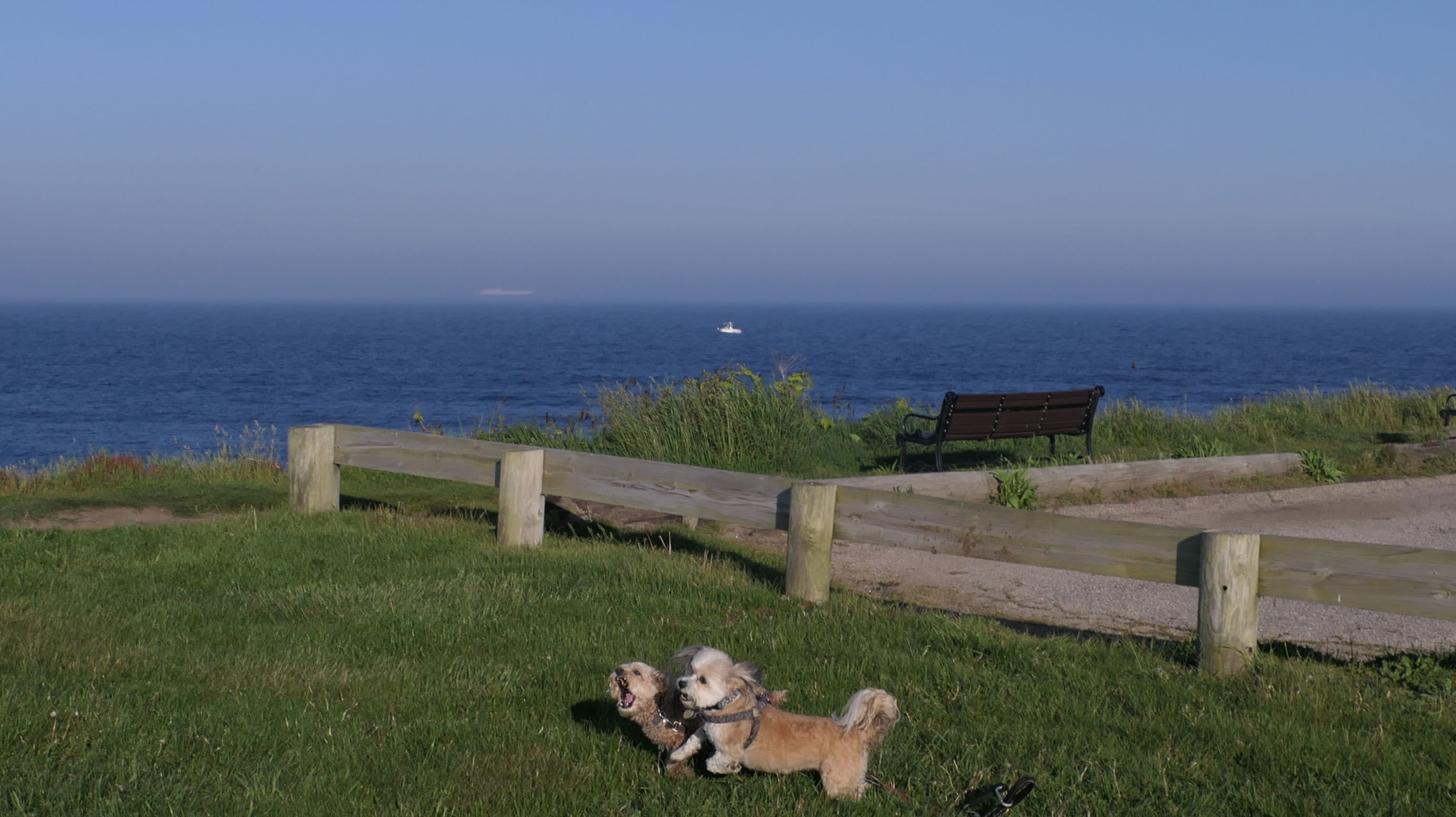
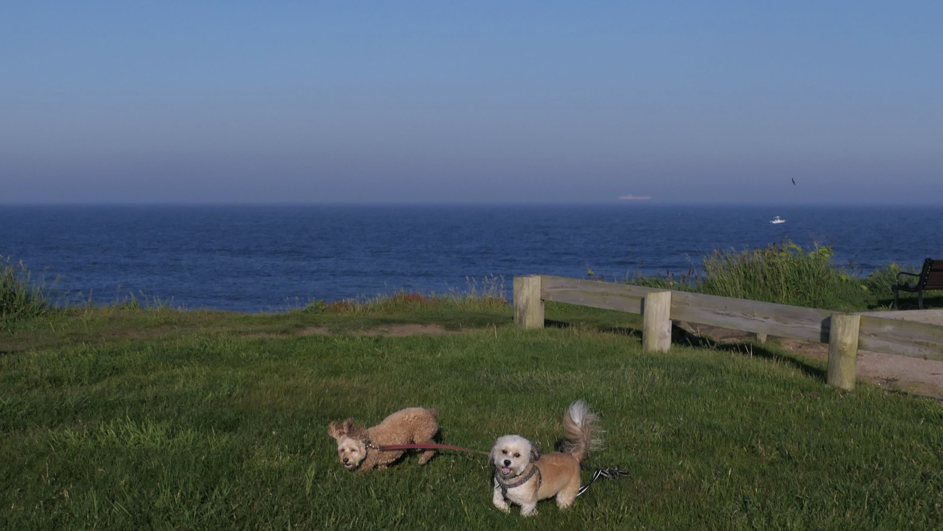
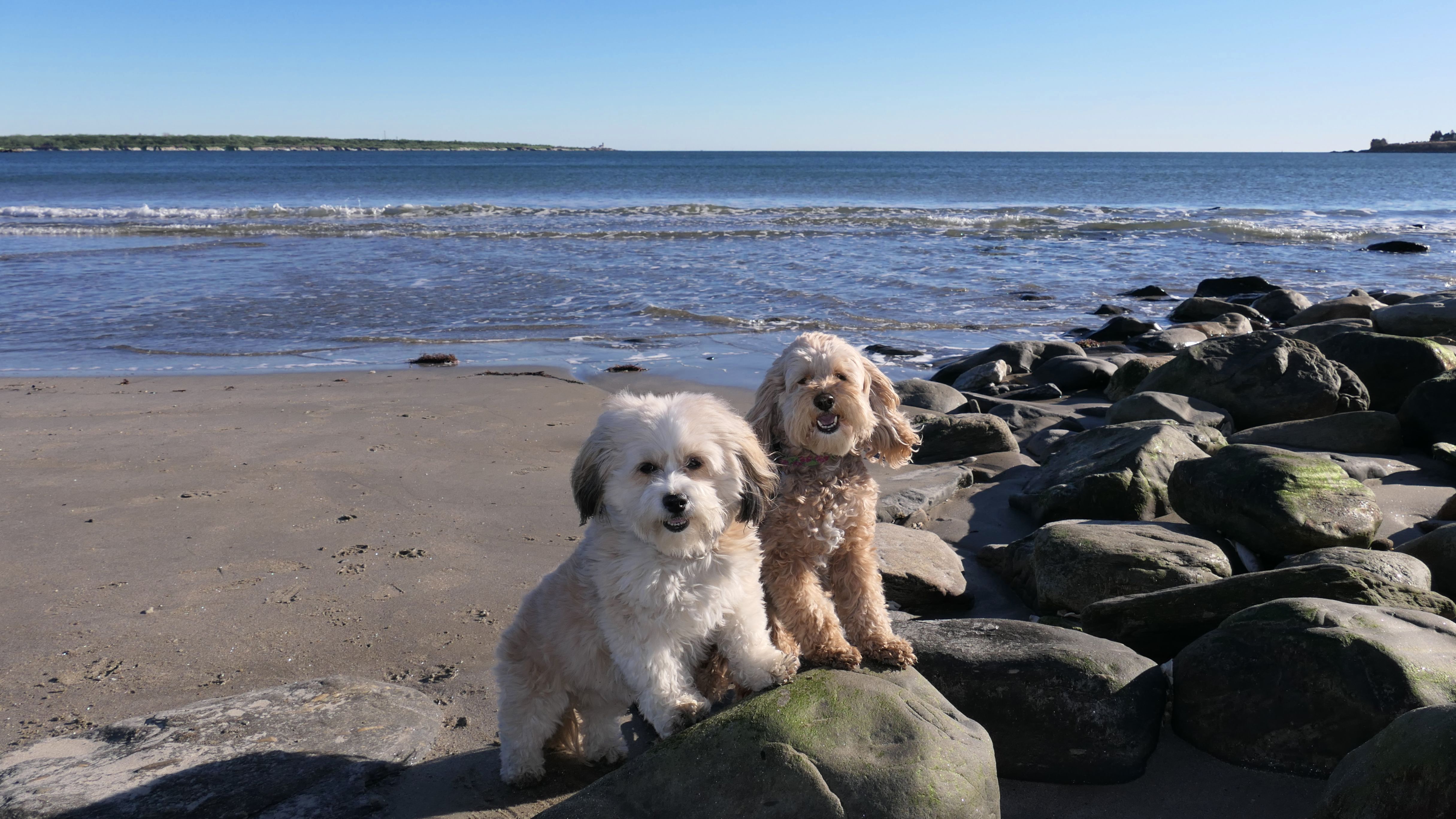
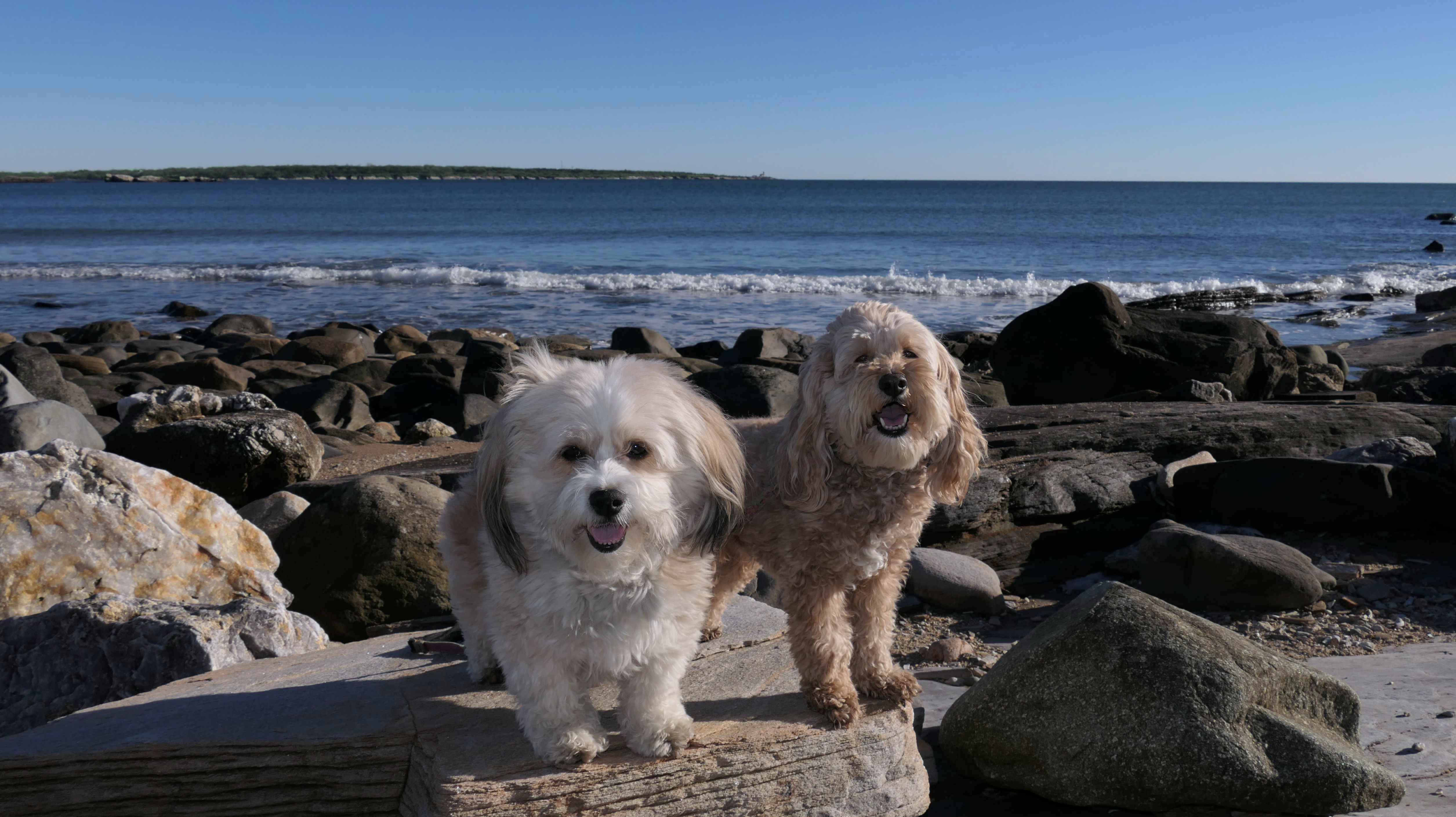
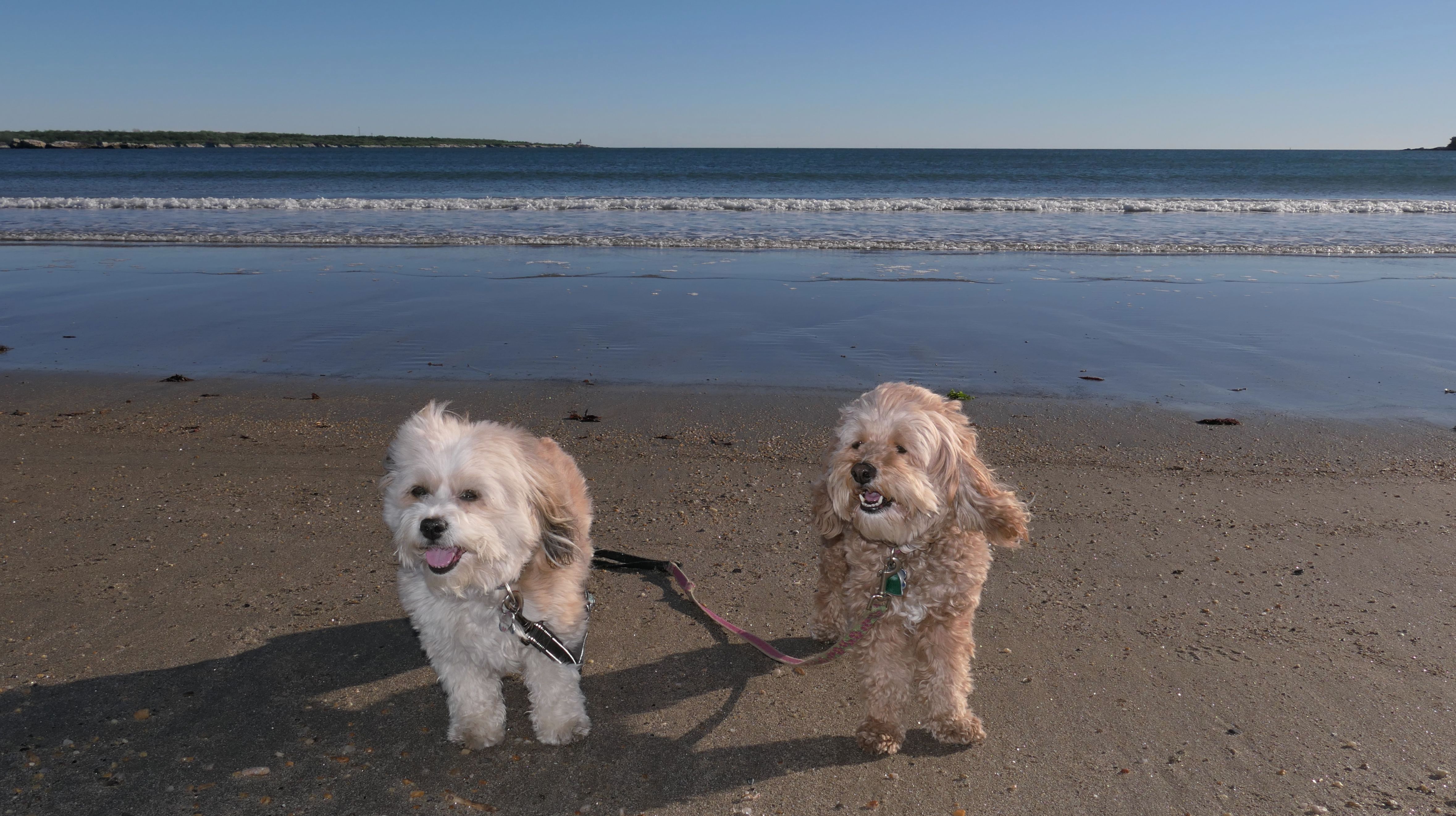
Our first visit was four years ago, and this is probably my all-time favorite trail. I love the views of the ocean hitting the rocks. The actual trail is an easy hike, but the rocky shoreline is fun if you are looking for more of a challenge. We stuck mostly to the trail, mainly because I was wearing sandals! We did explore the rocks a bit. It was hard to find new and exciting photos to take here because we've been here a number of times, so not many photos this go around. There was a new staircase right at the end of the short trail that leads from the parking area to the main trail and the shoreline. In fact, workers were moving stones from a dump truck and using a wheel barrow to bring the rocks downs to fill the areas around the stairs. We hiked most of the trail, and then stopped at the beach so the dogs could cool off before heading back and calling it a day.

More Images


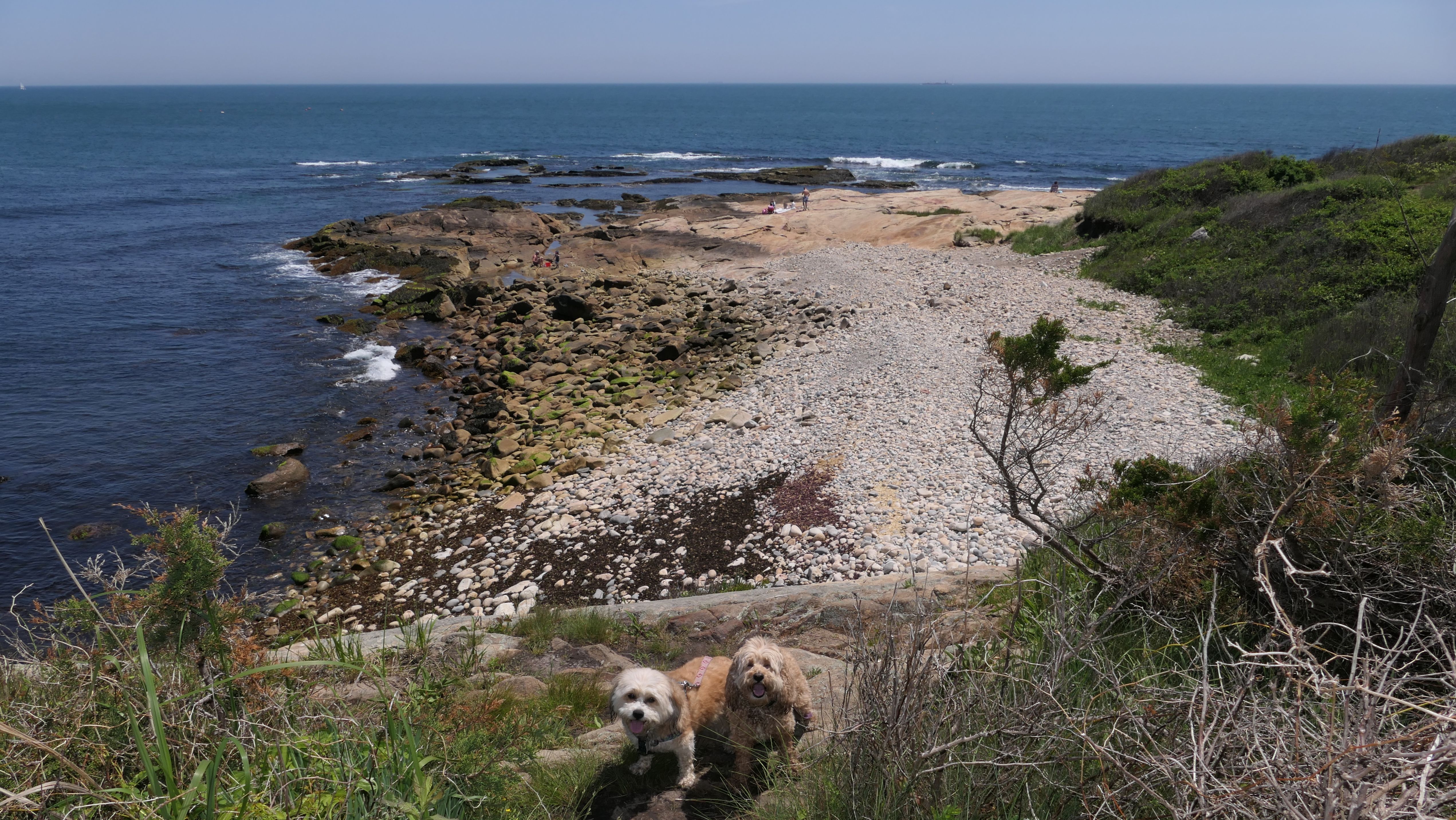
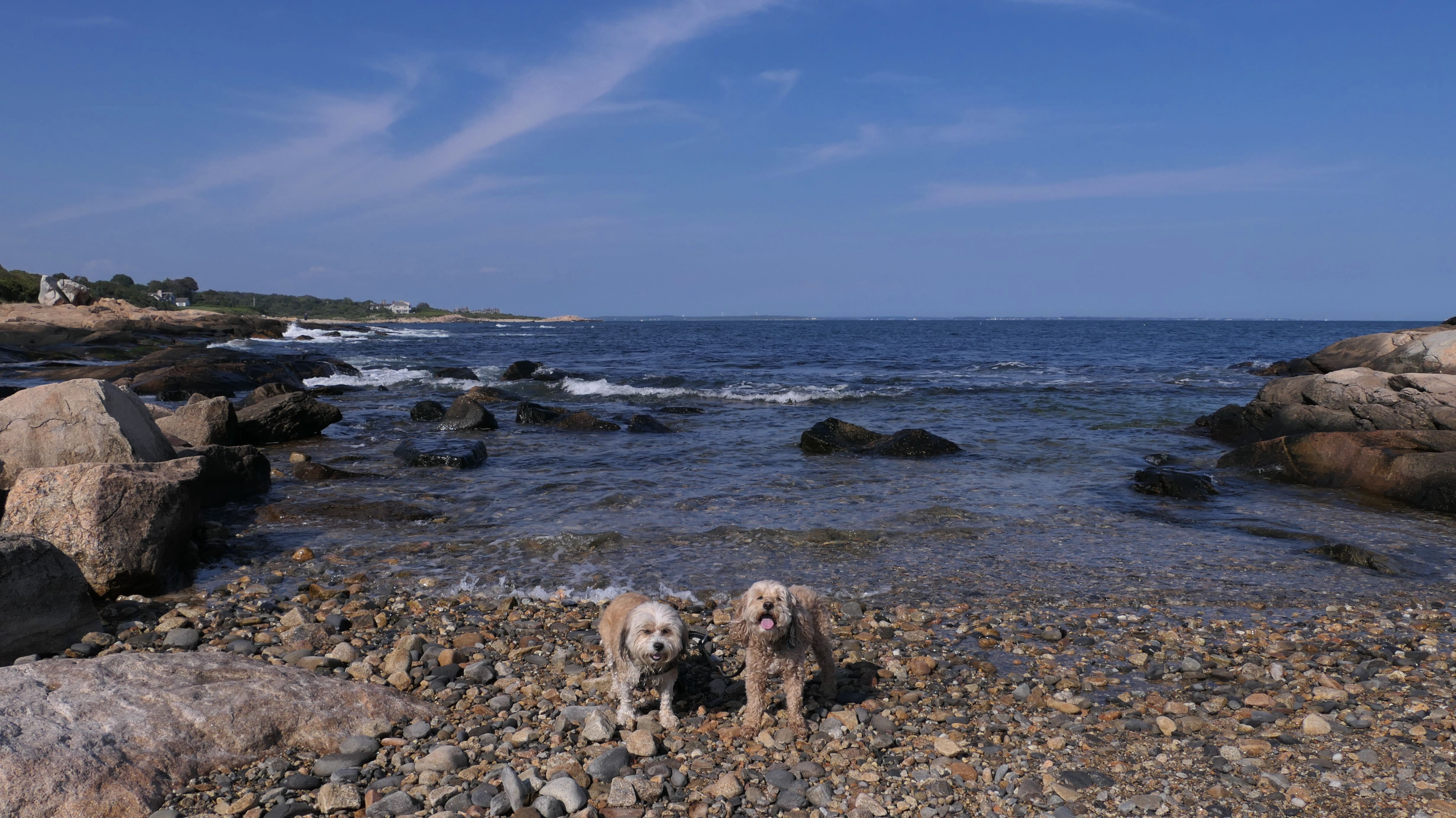
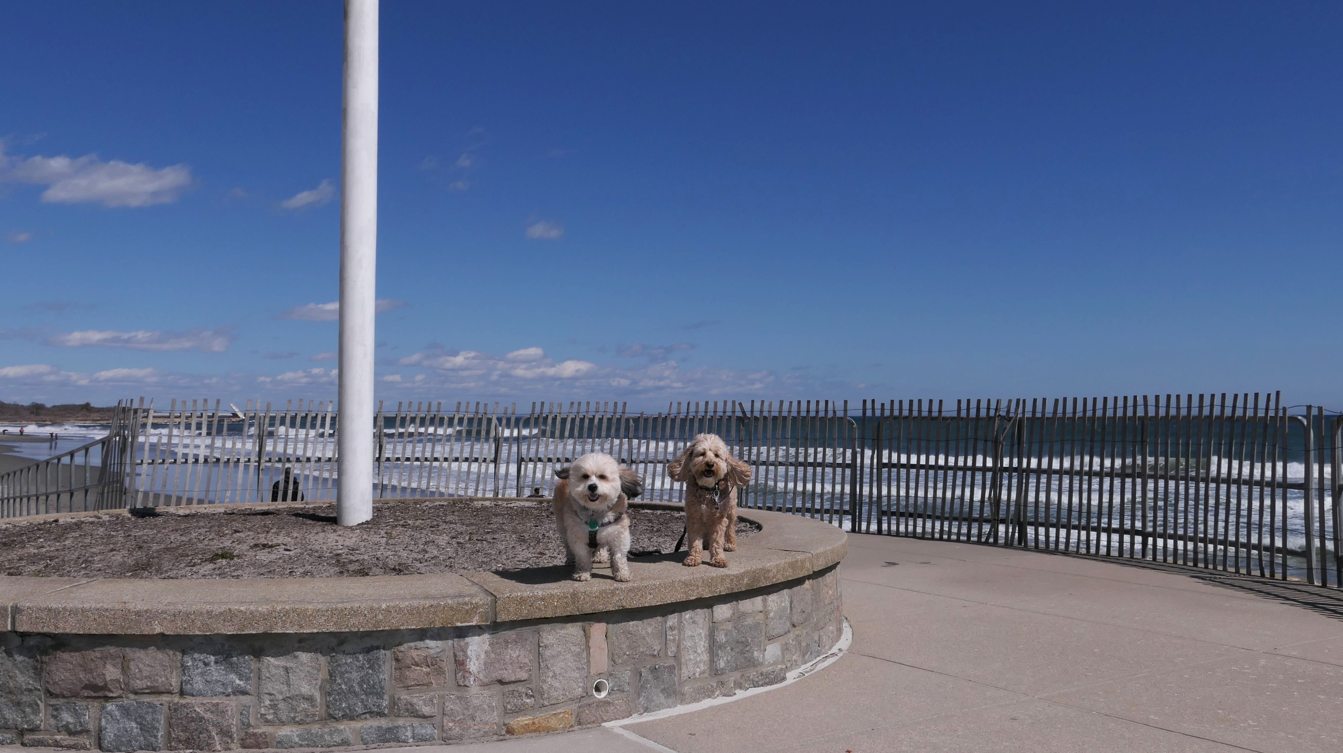
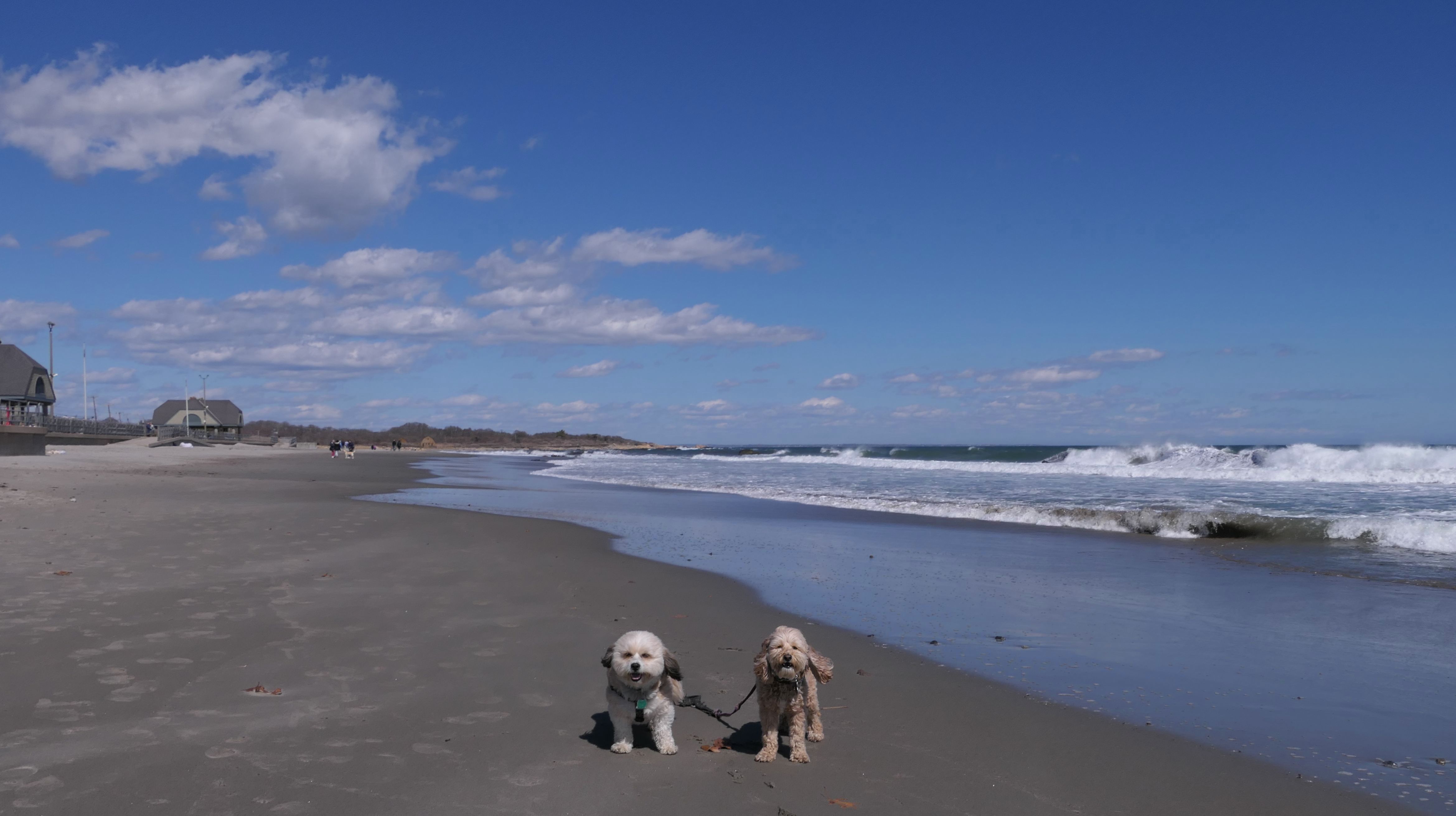
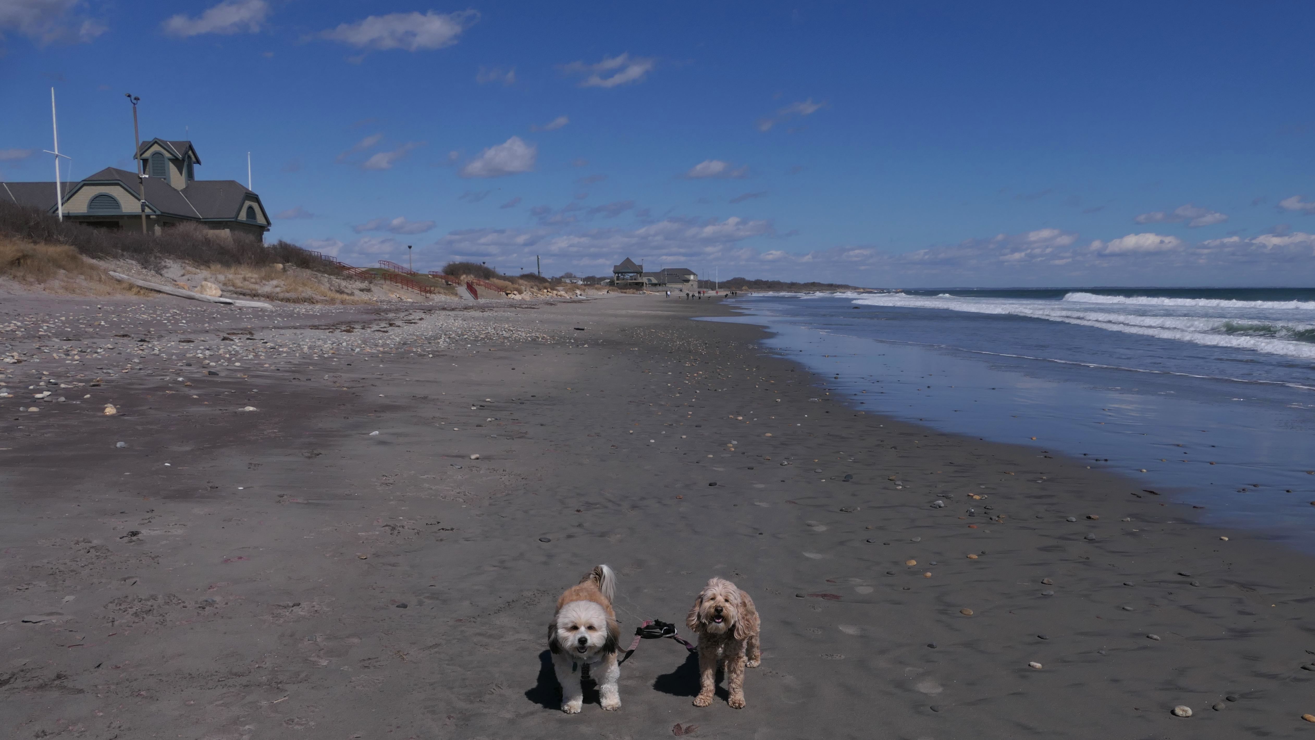
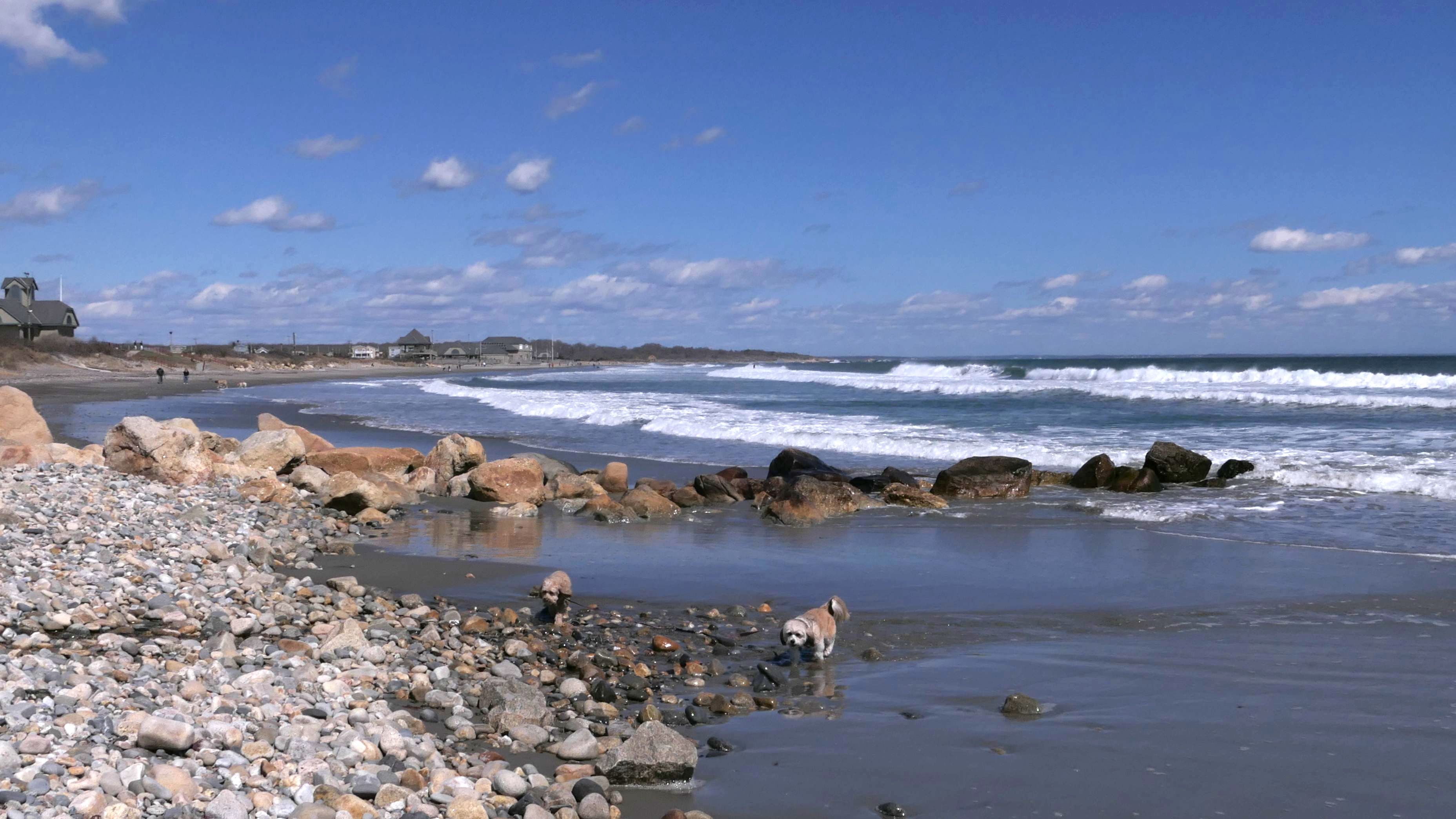
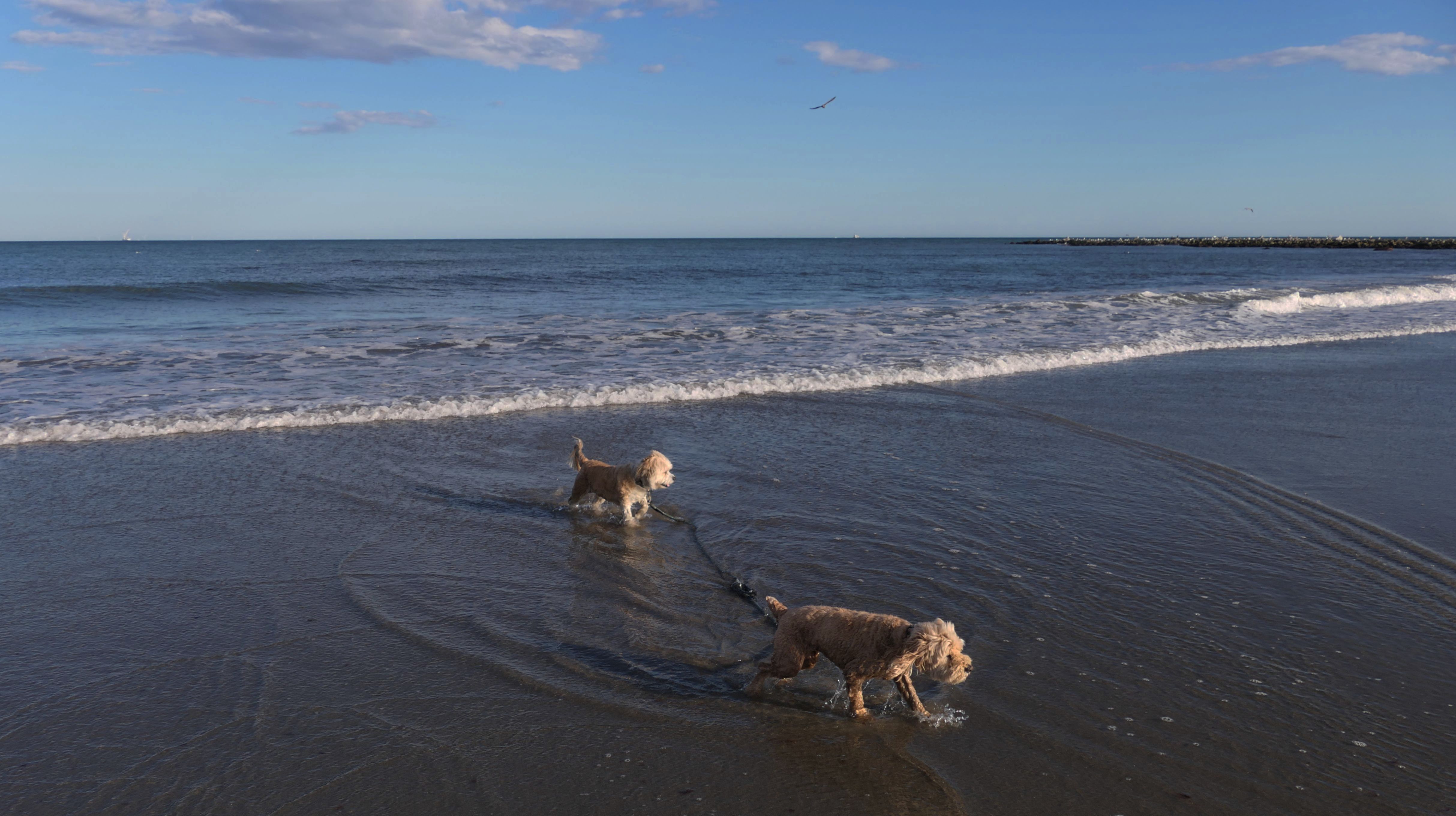
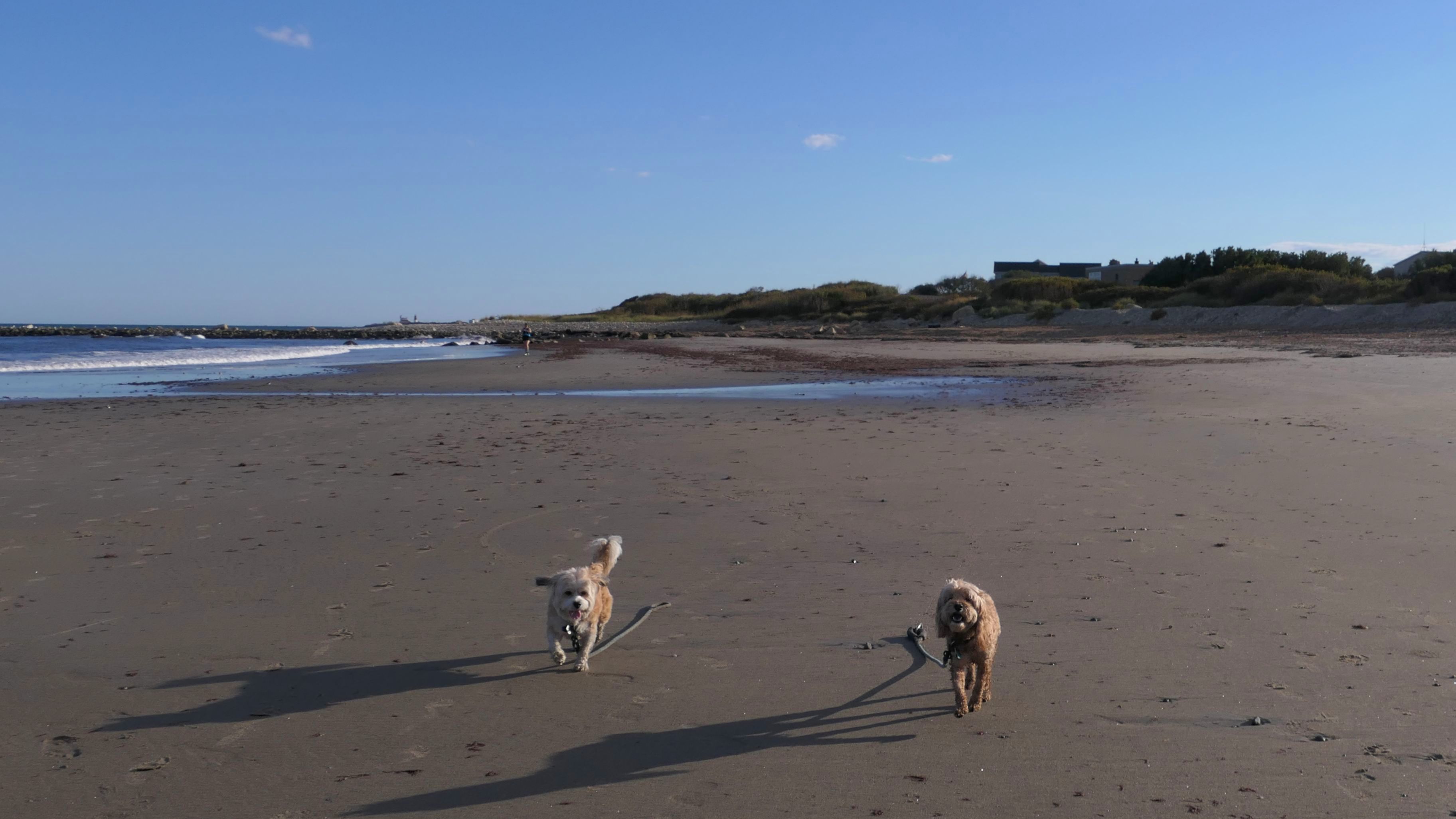
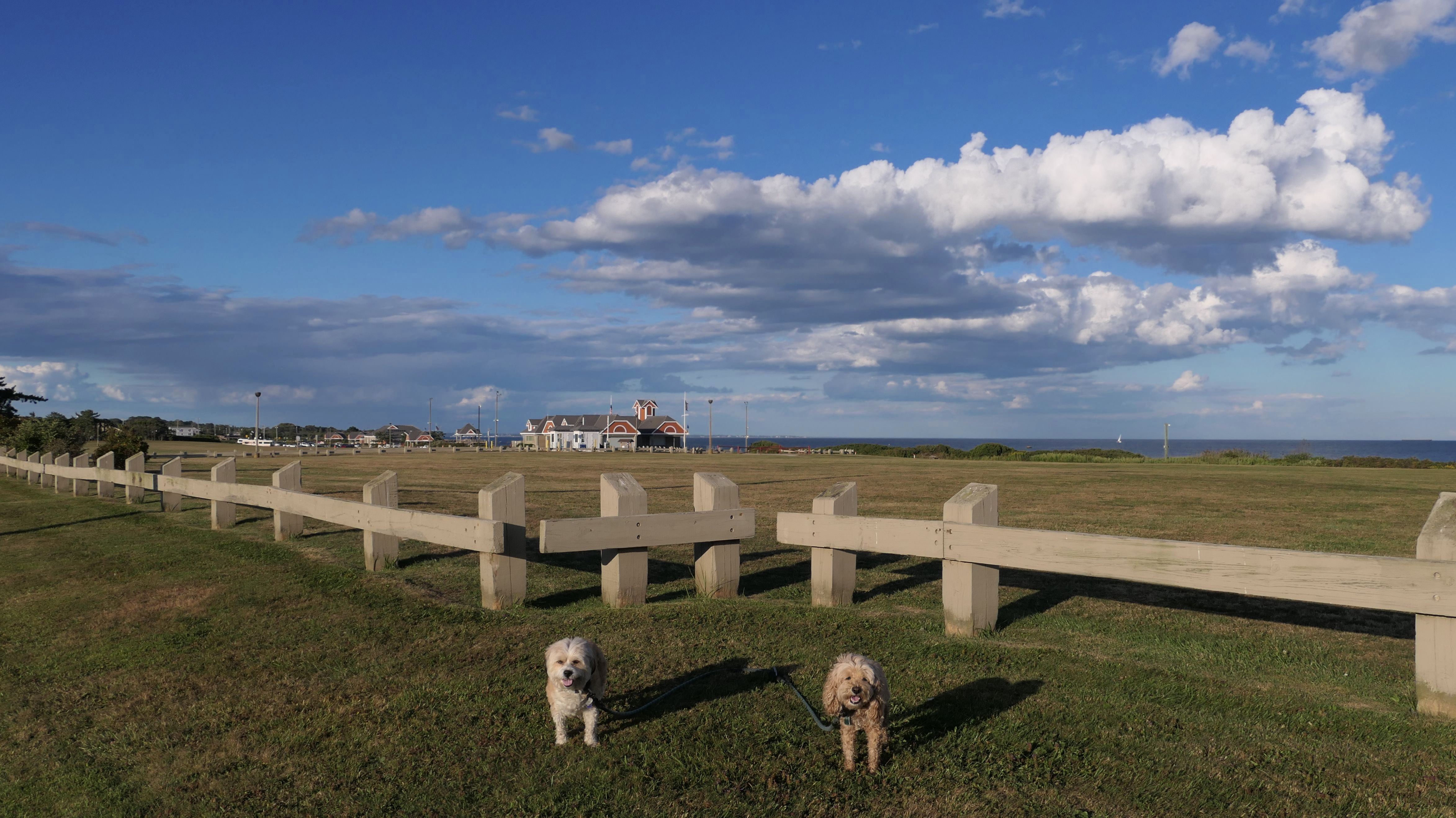
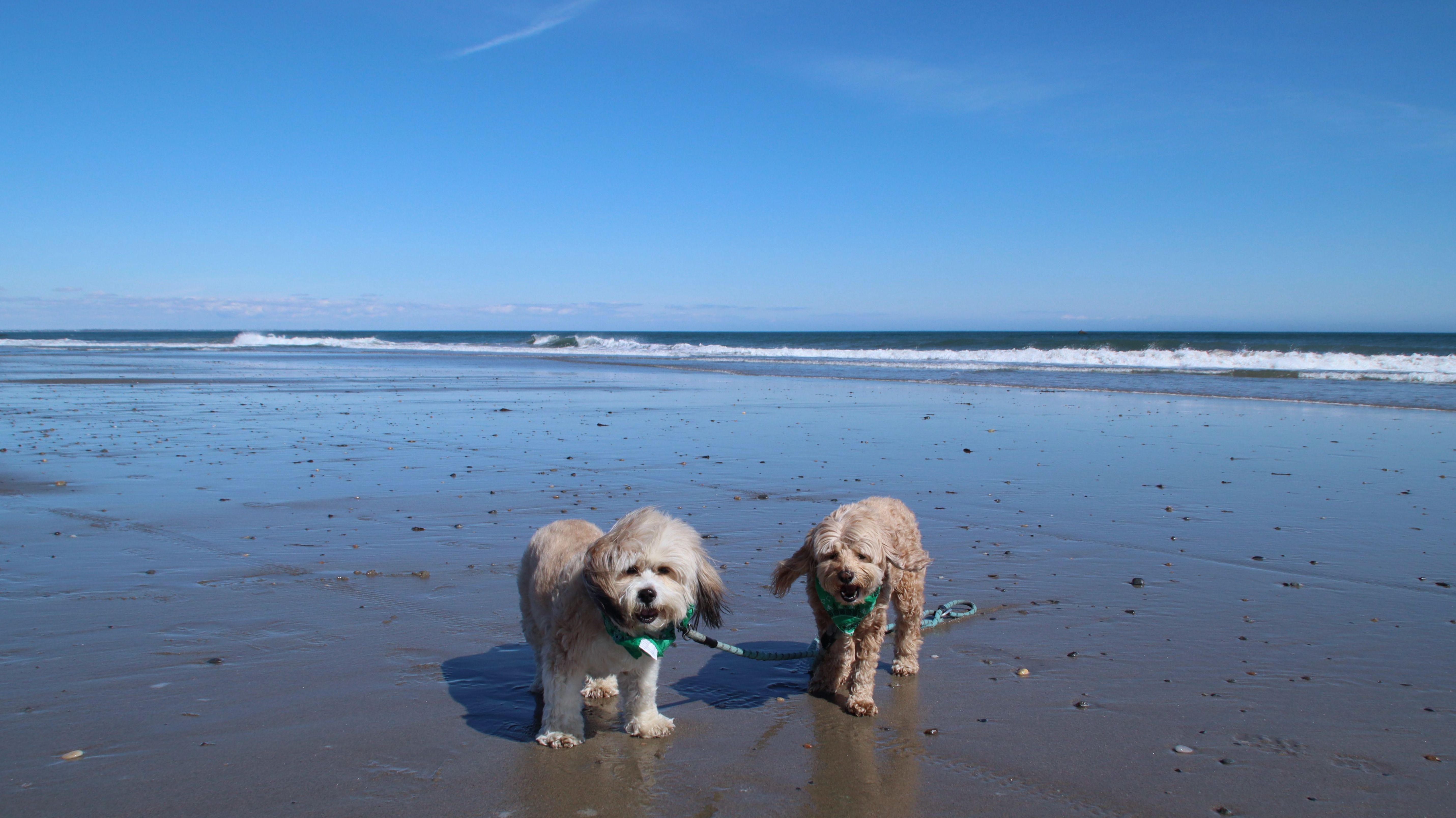
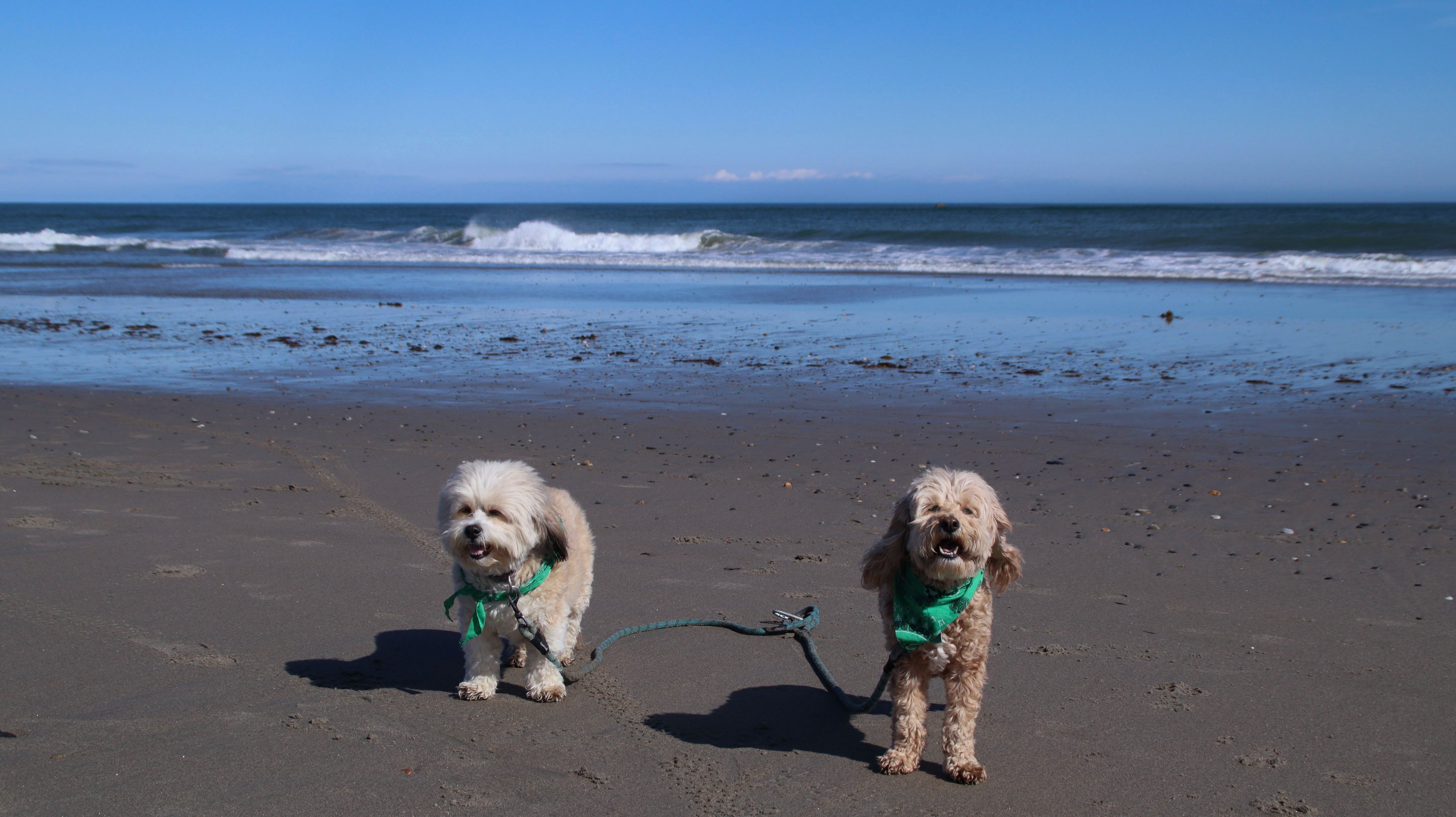
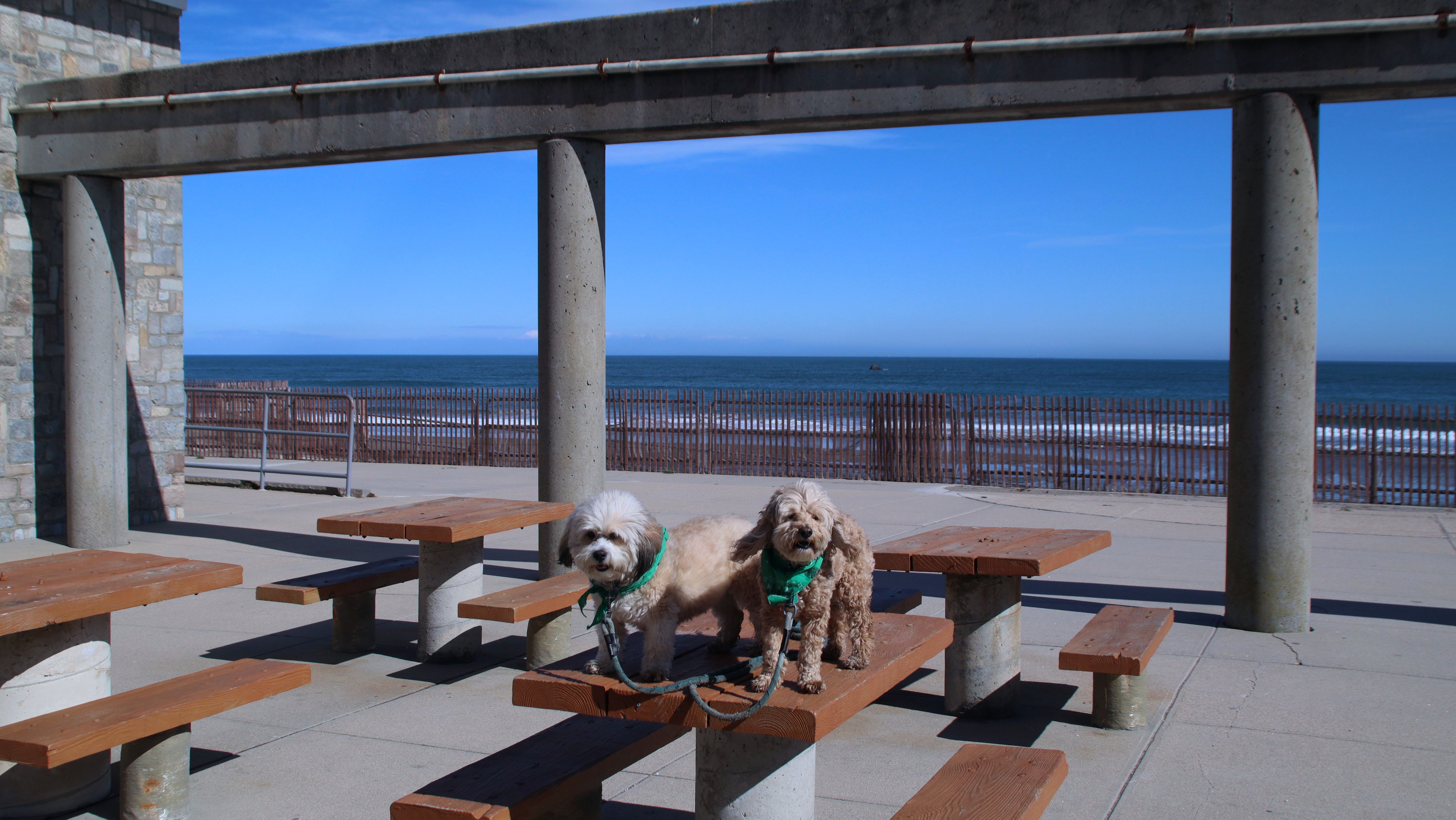
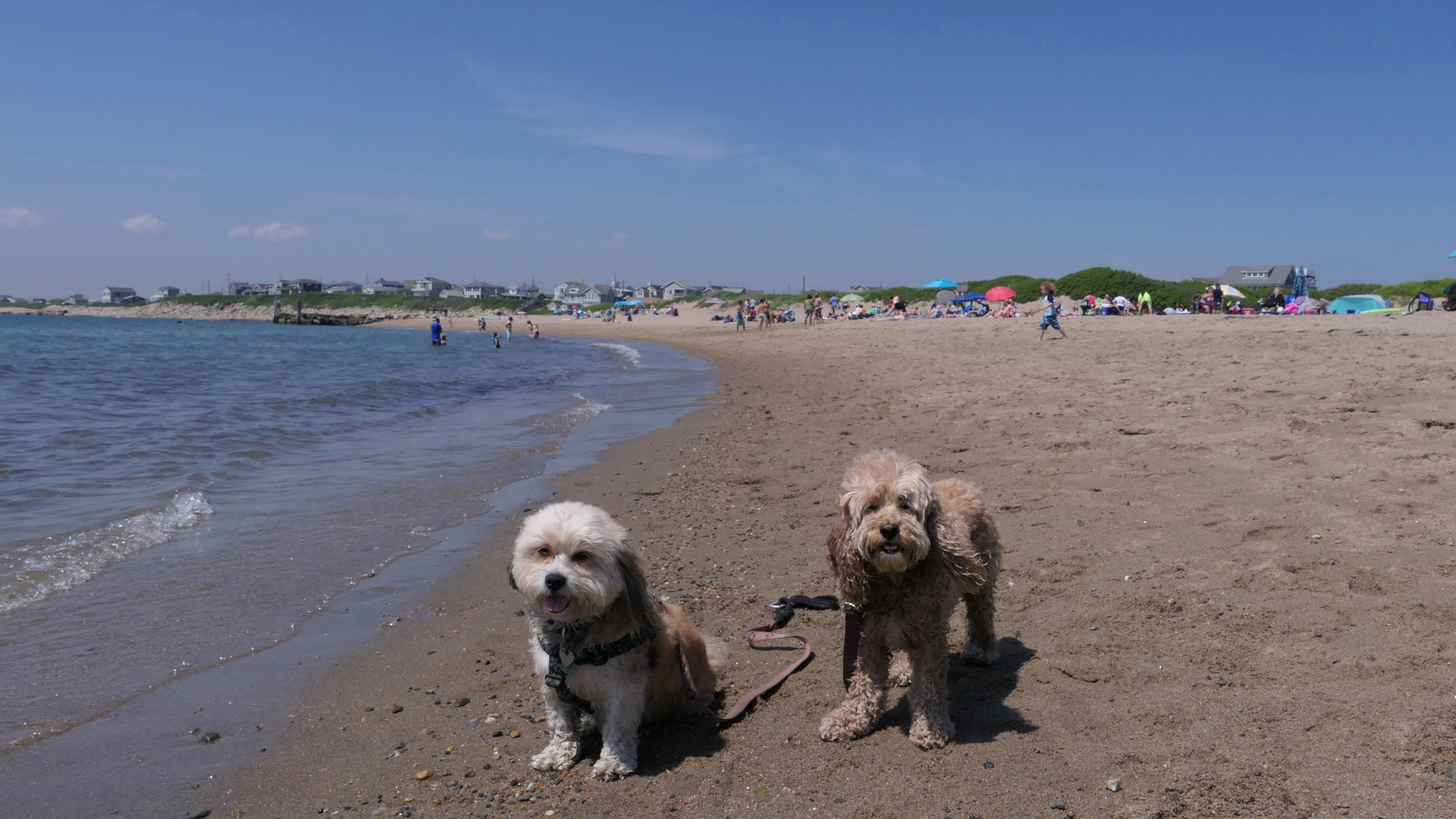
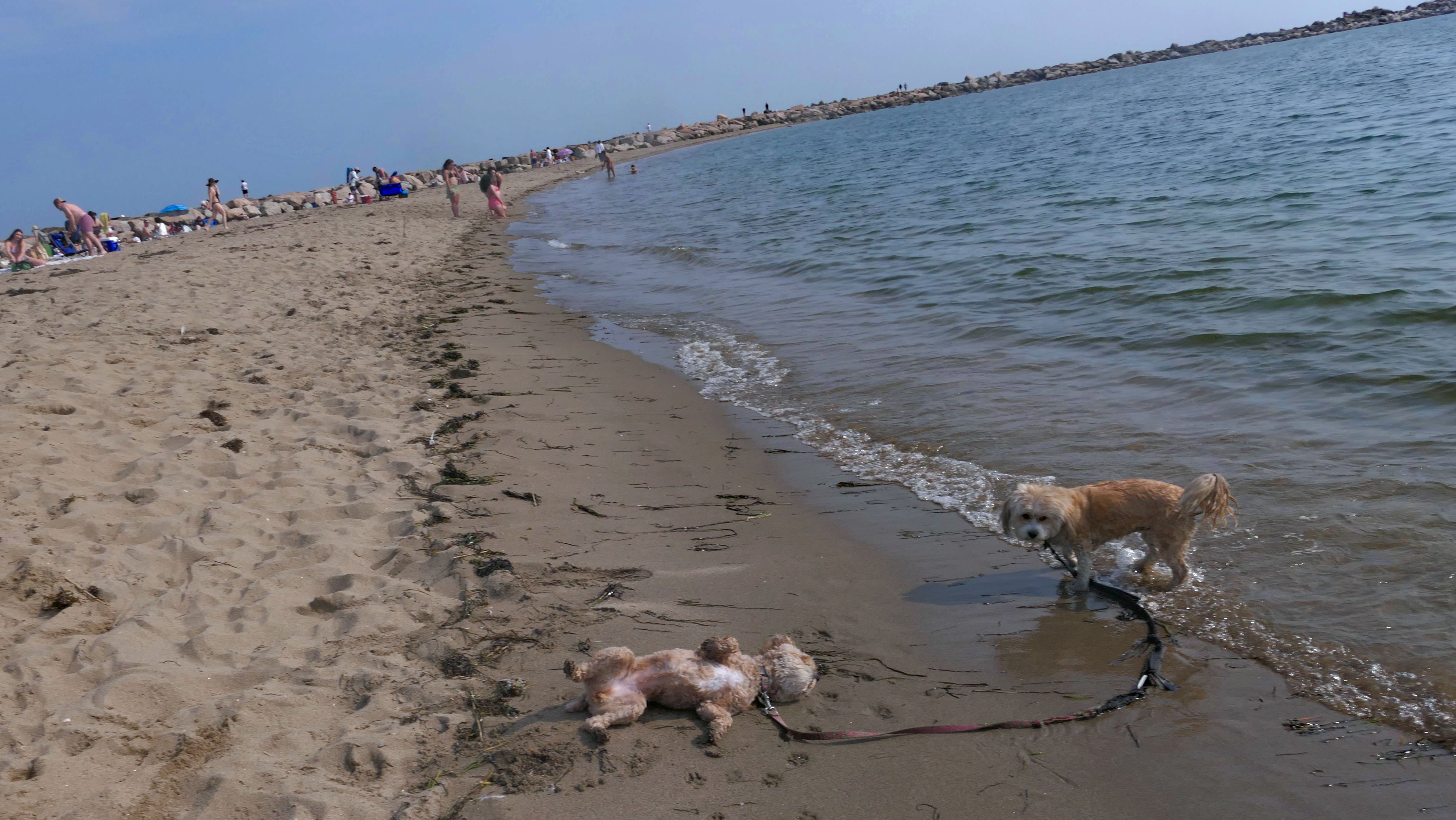
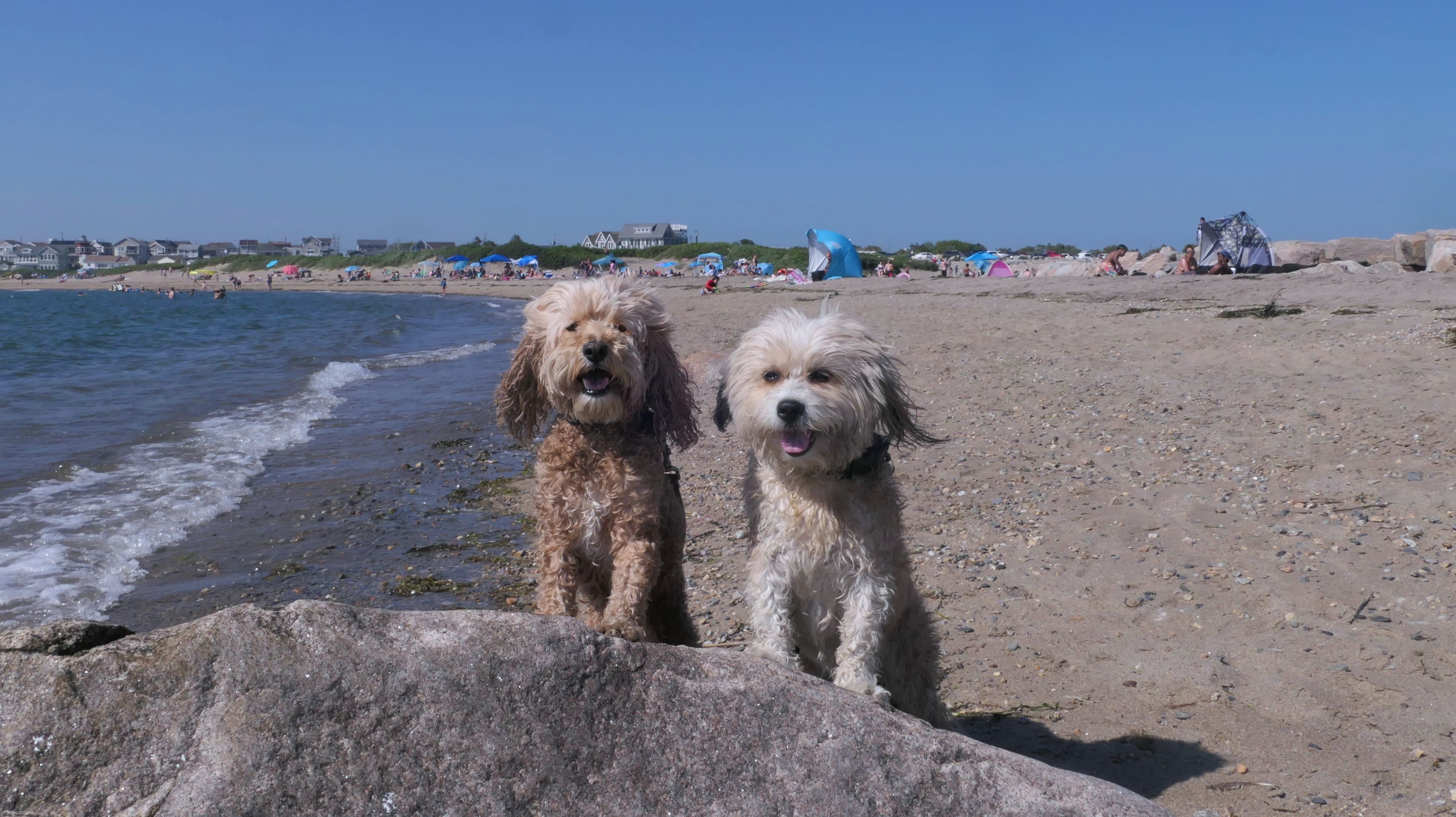
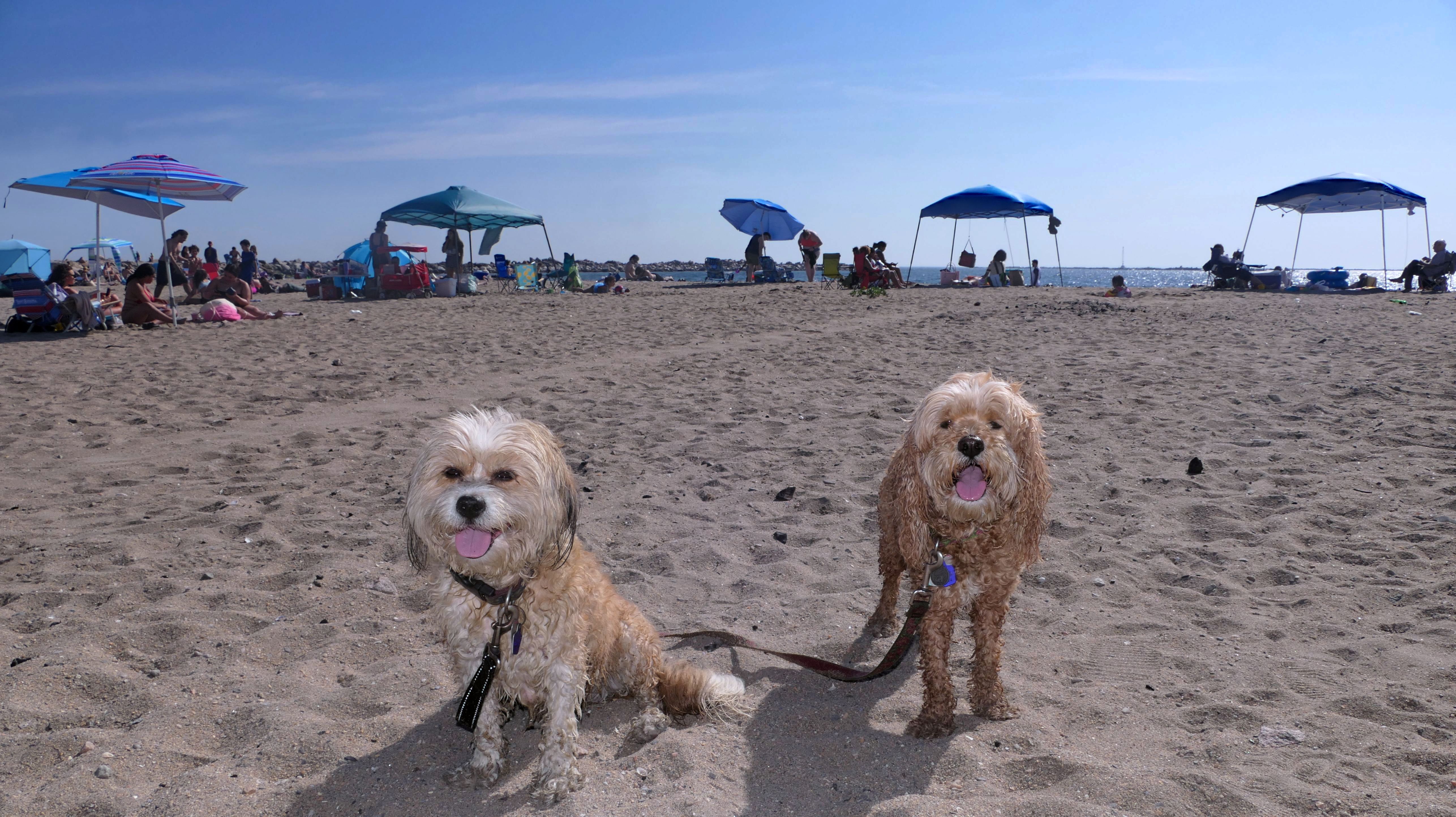
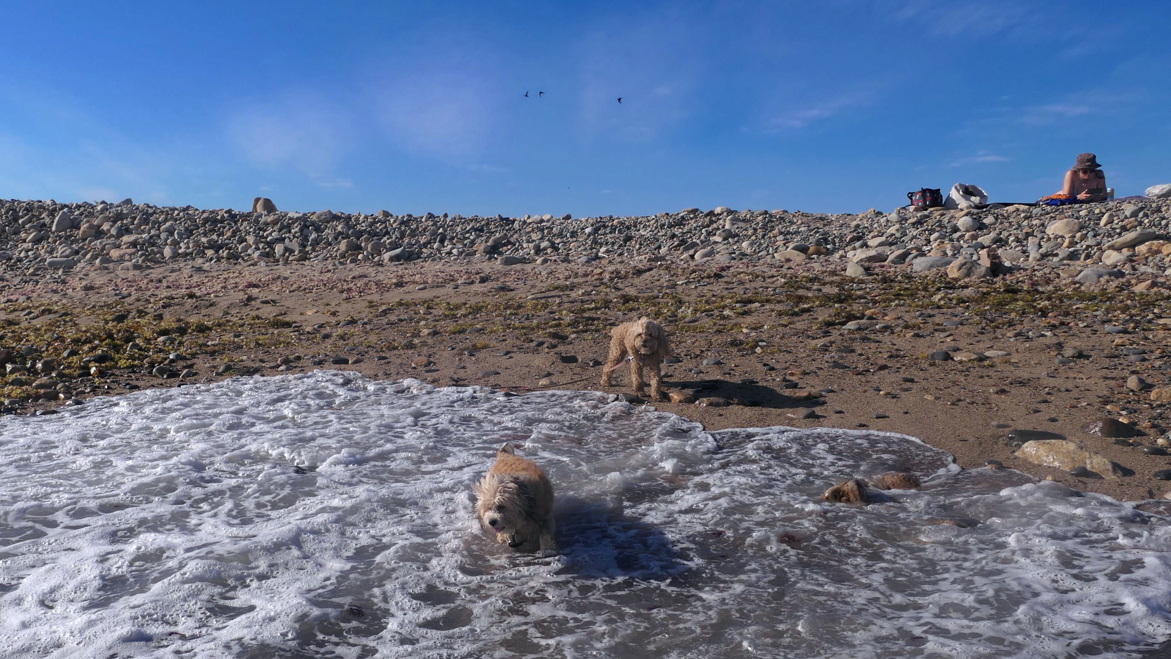
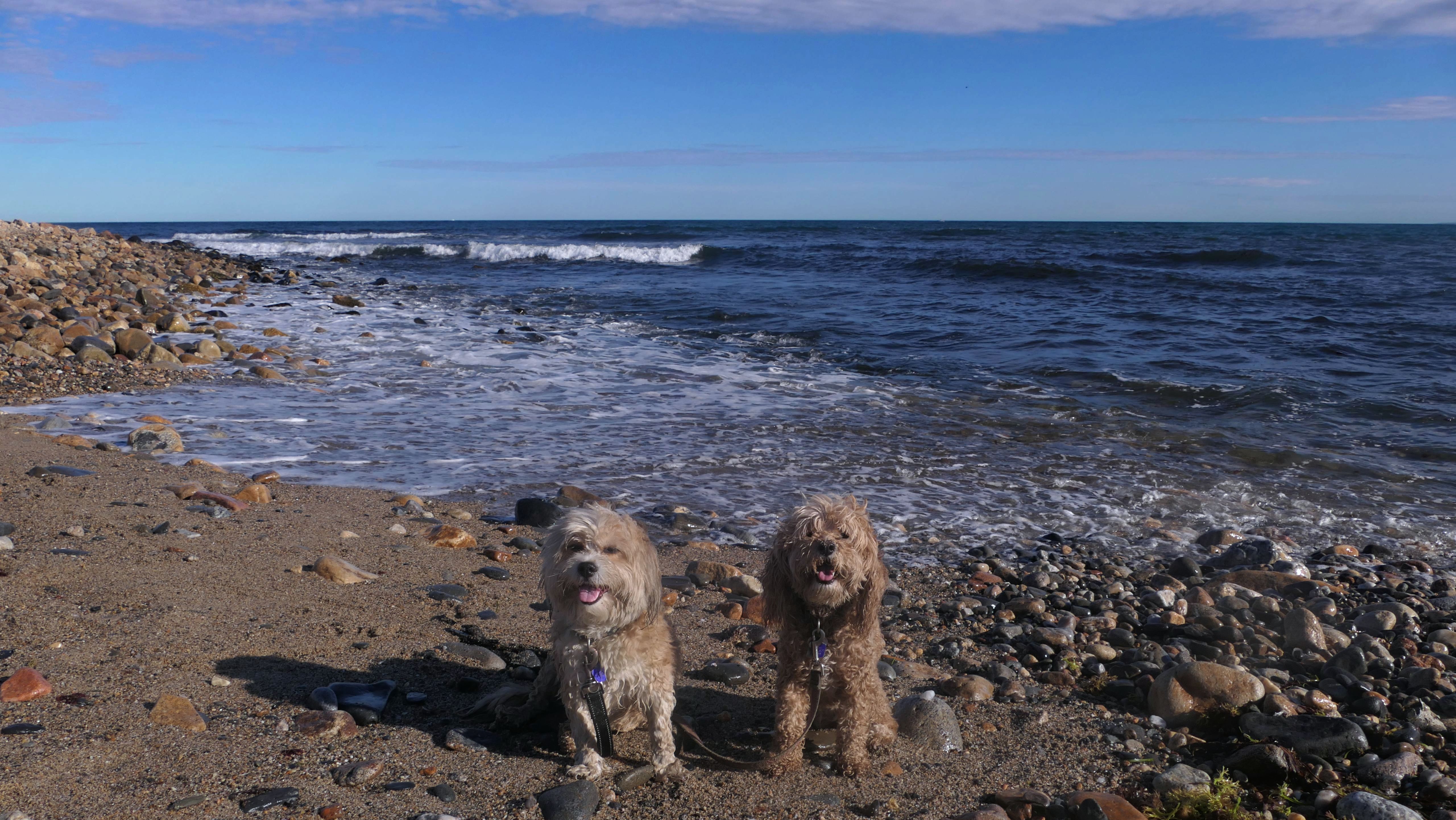
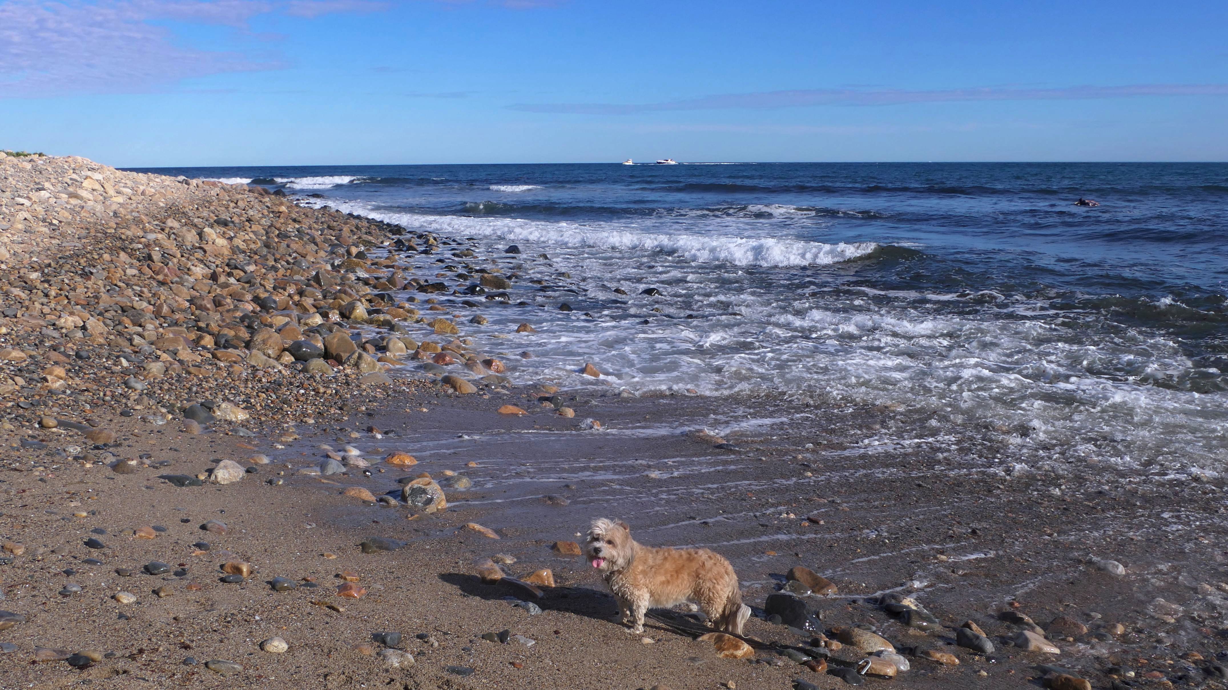
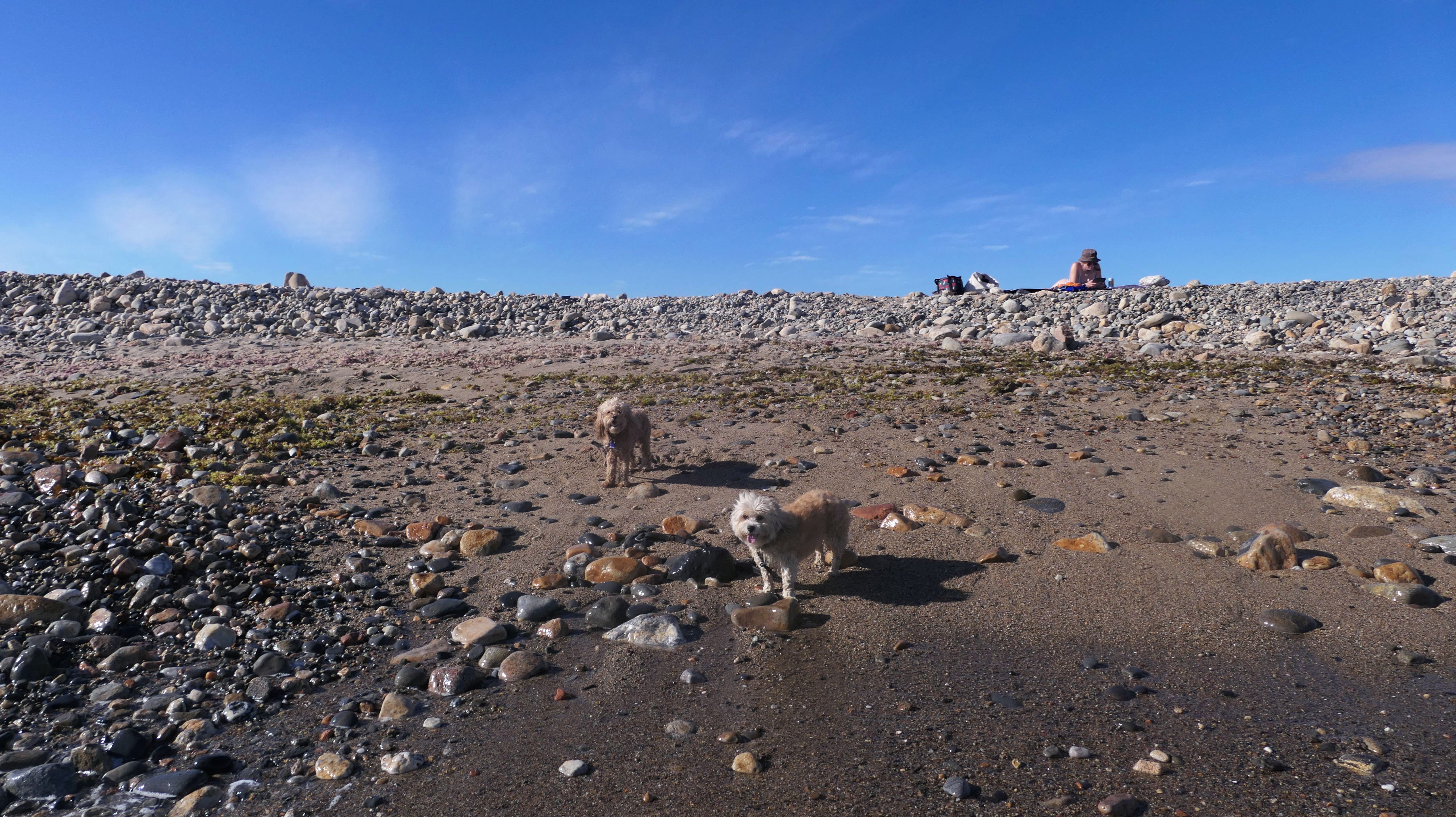
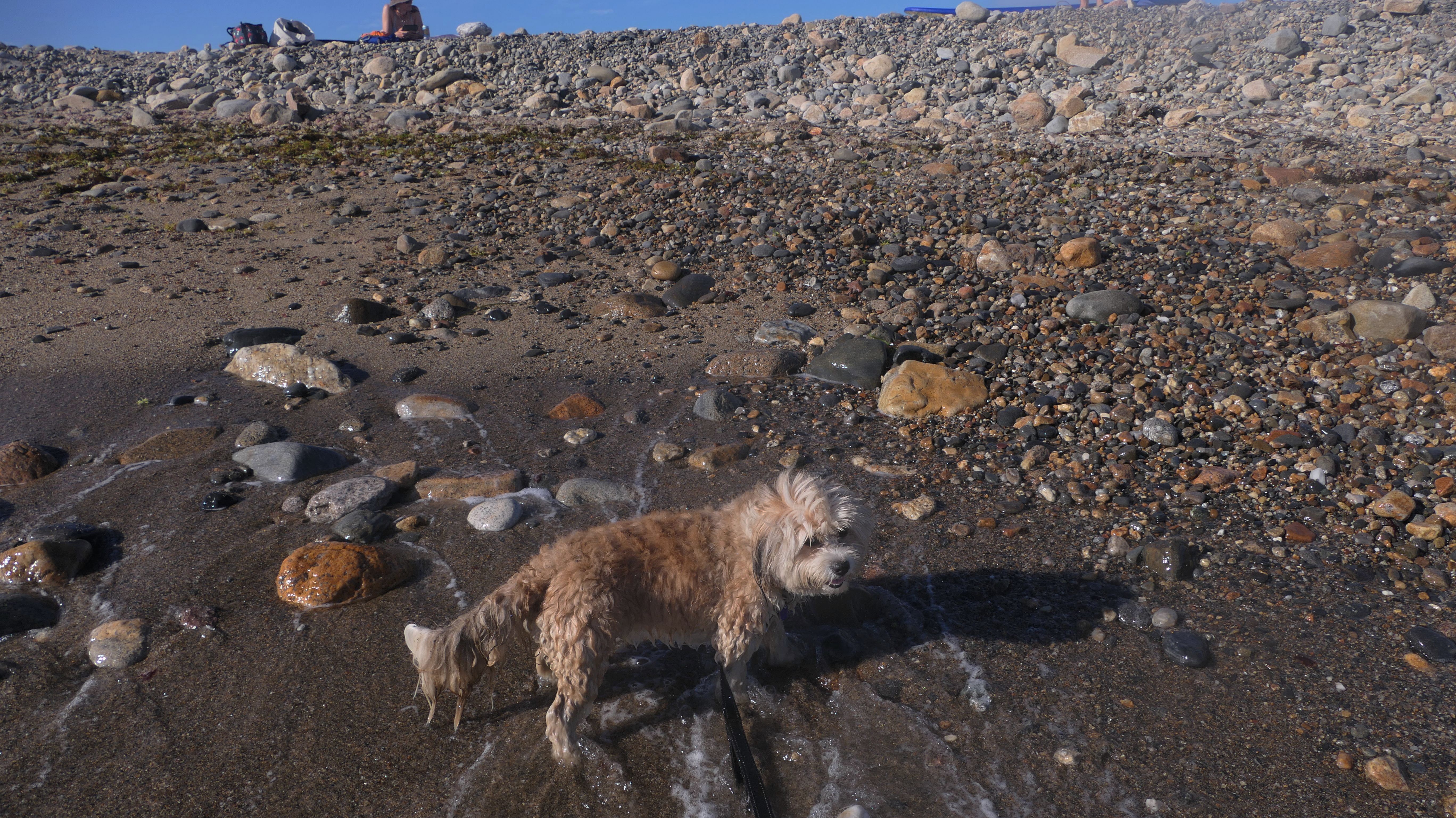
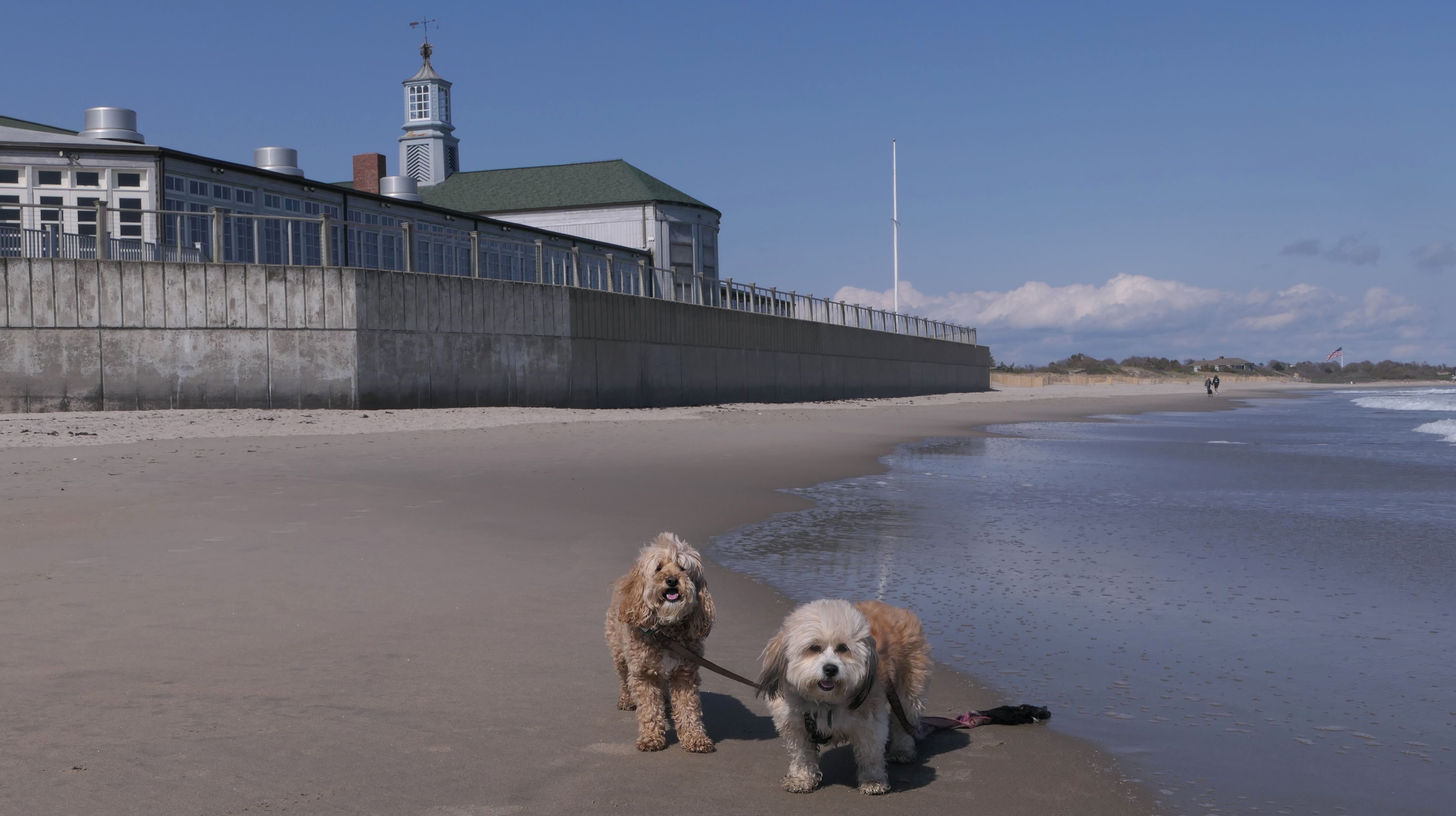
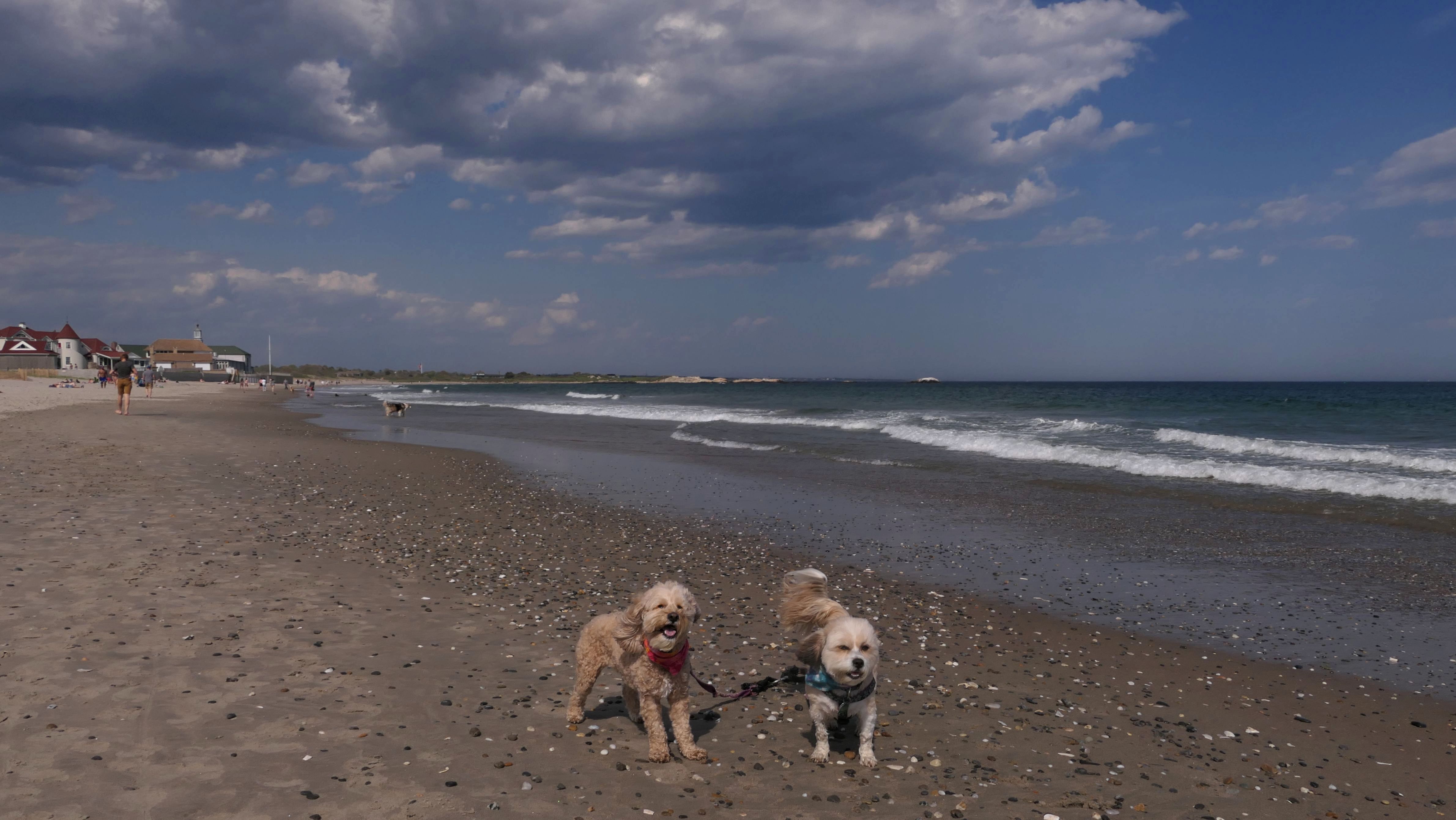
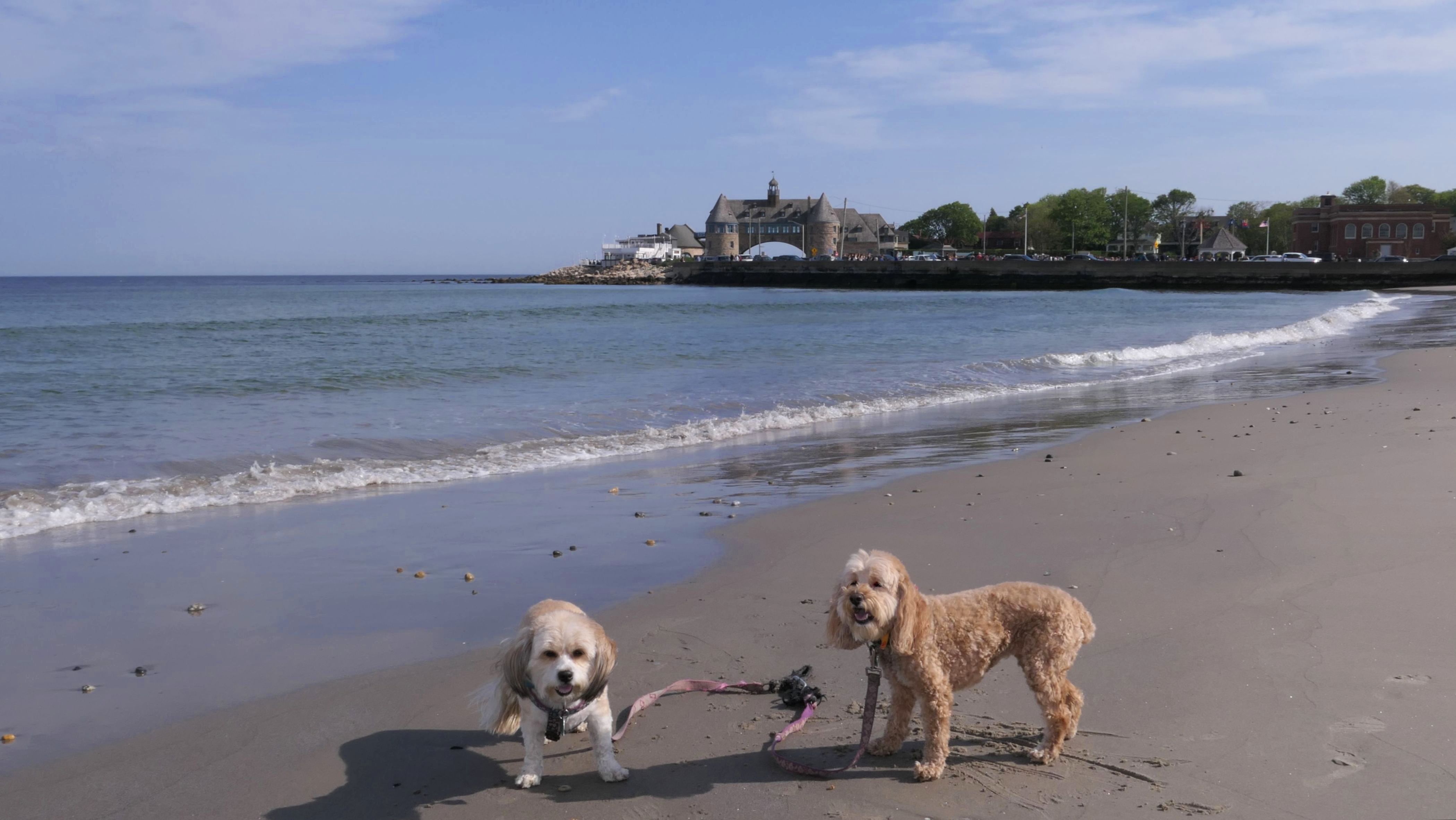
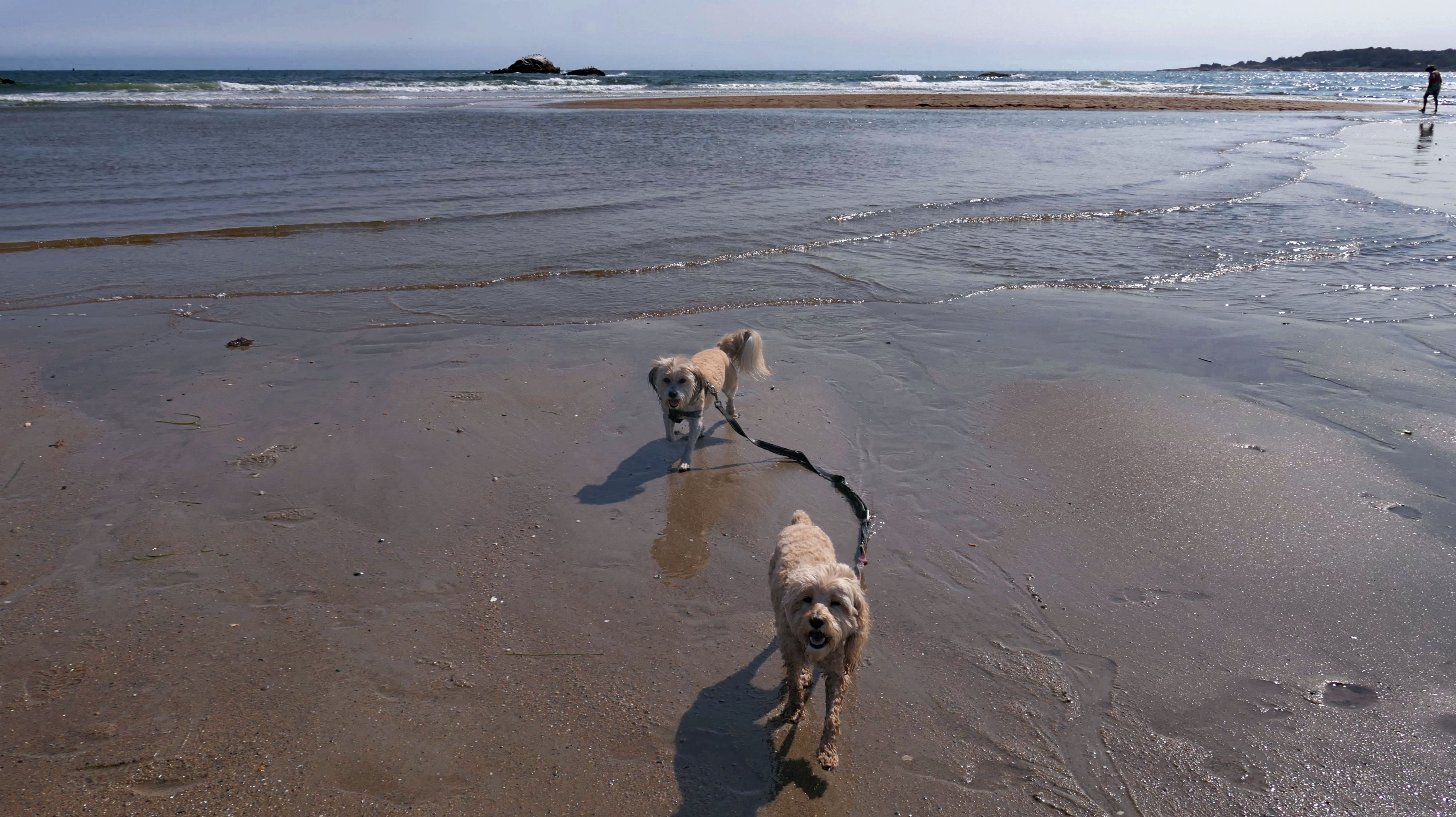
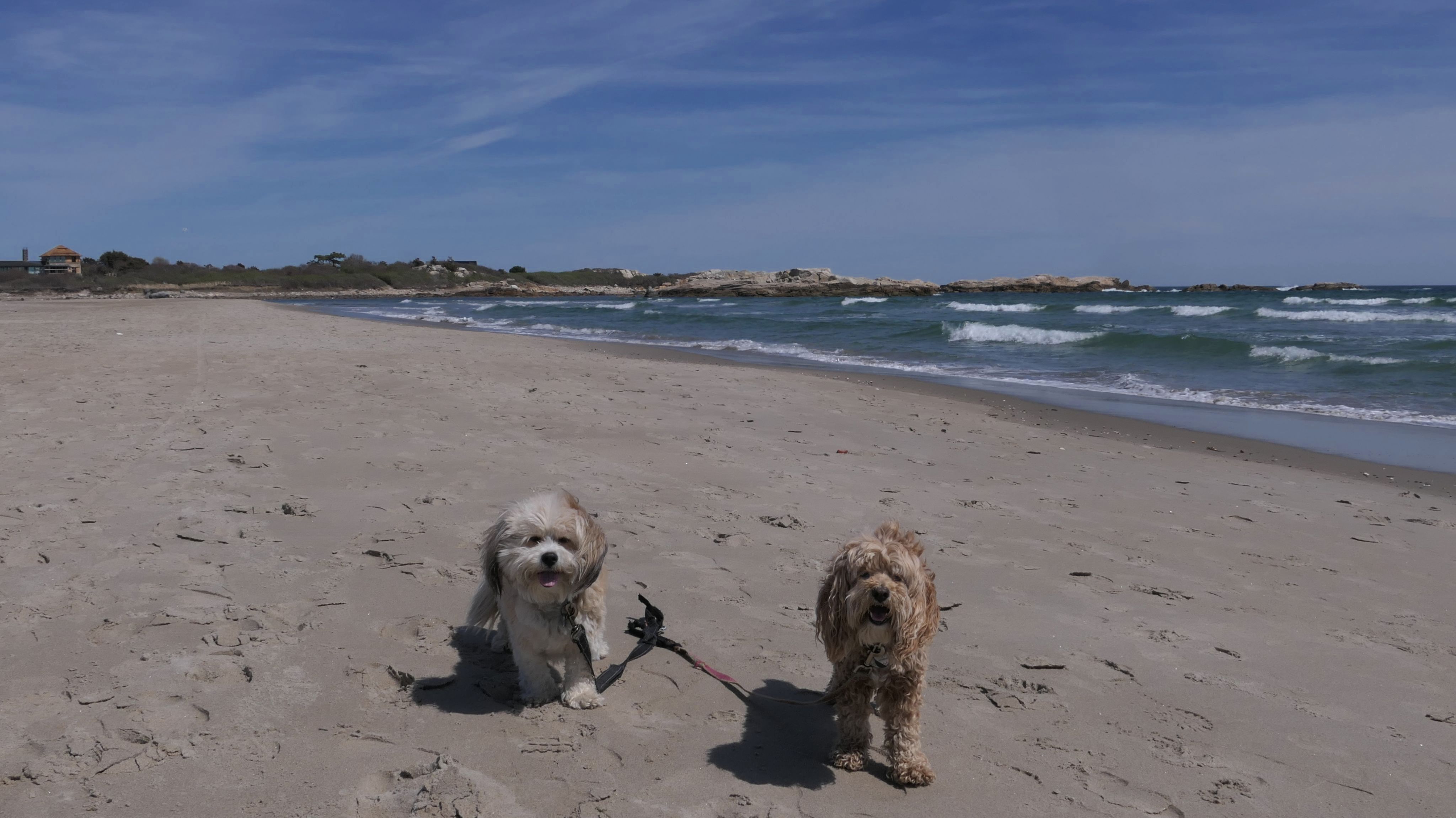
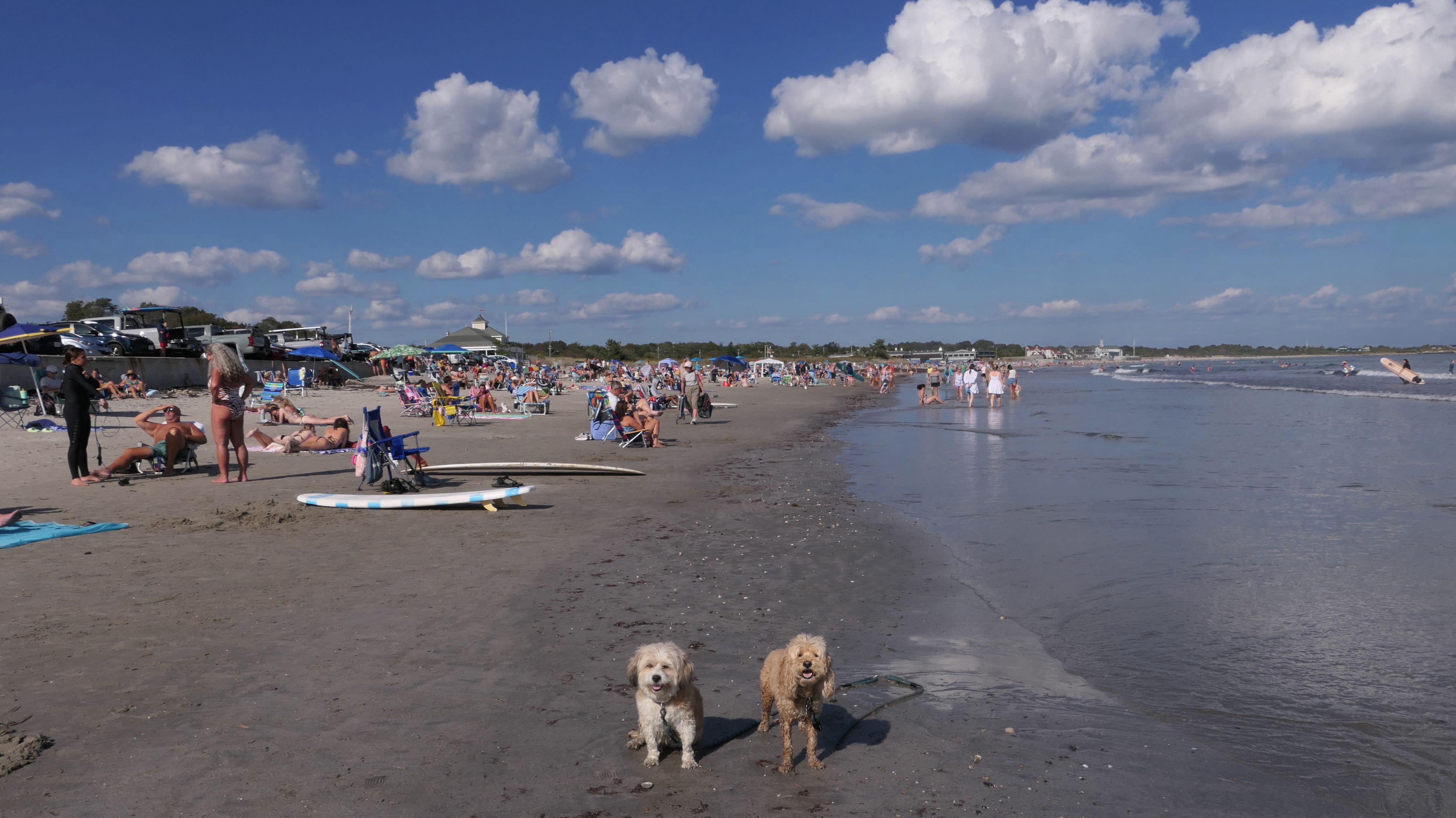
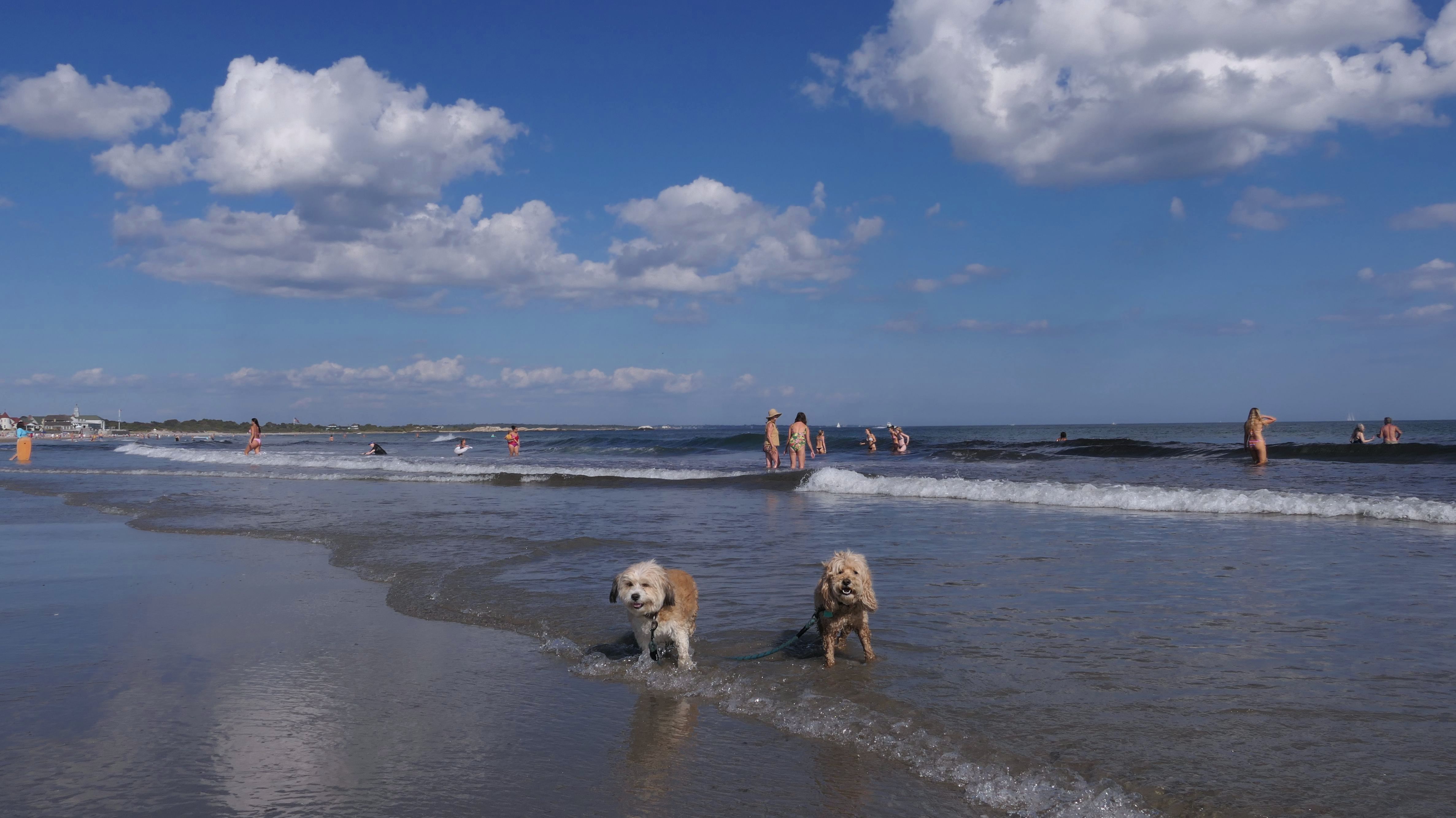
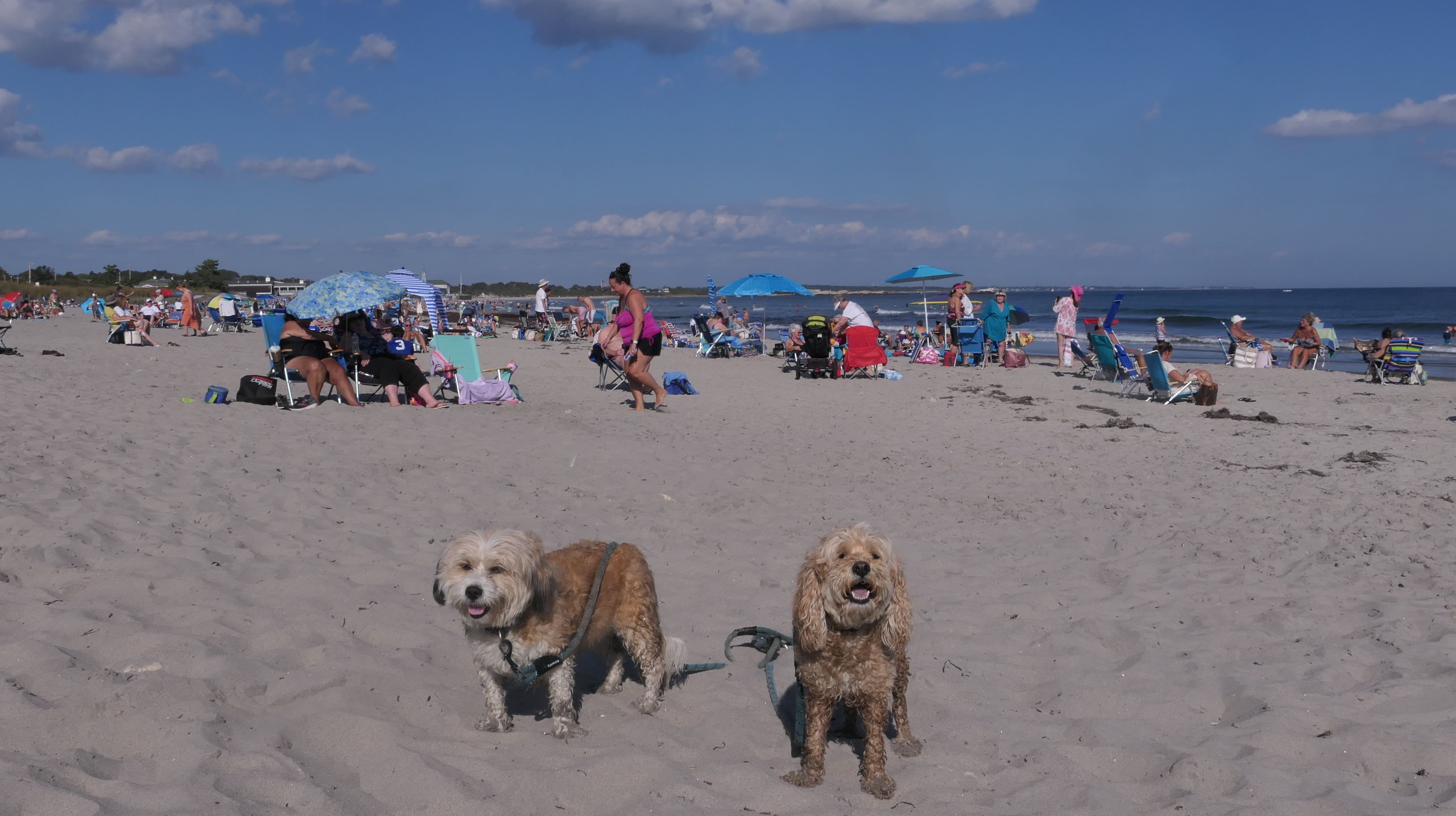
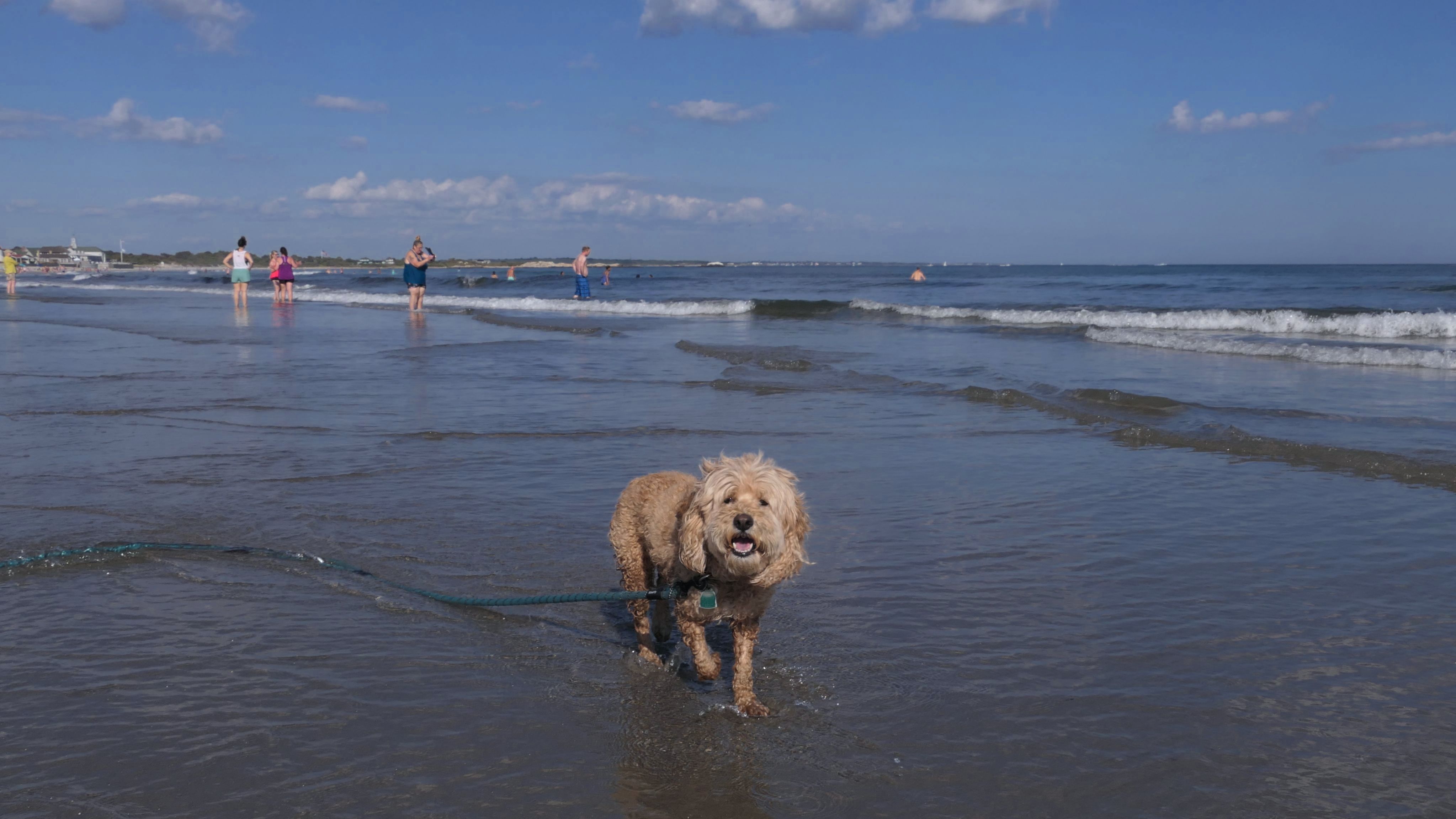
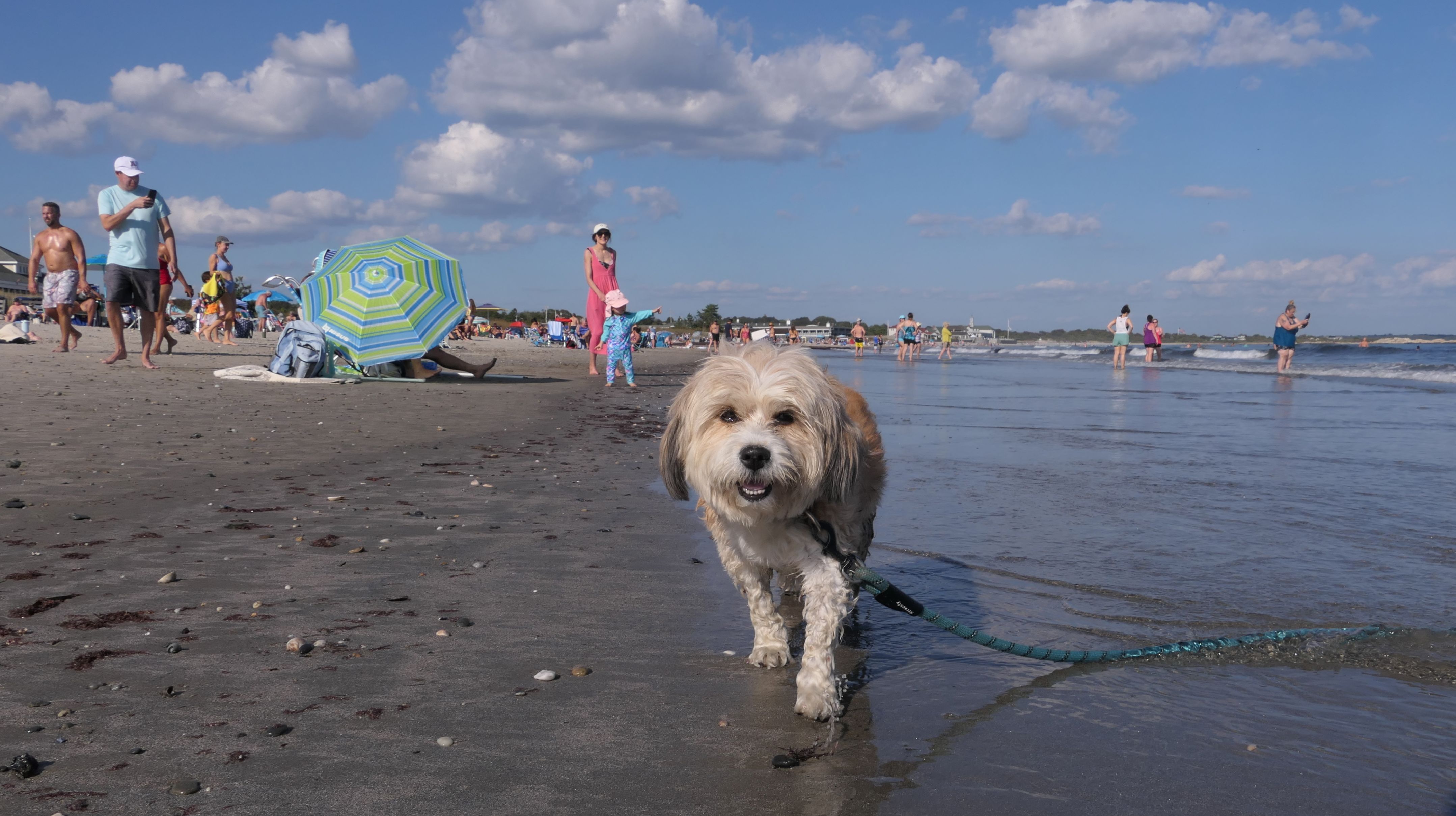
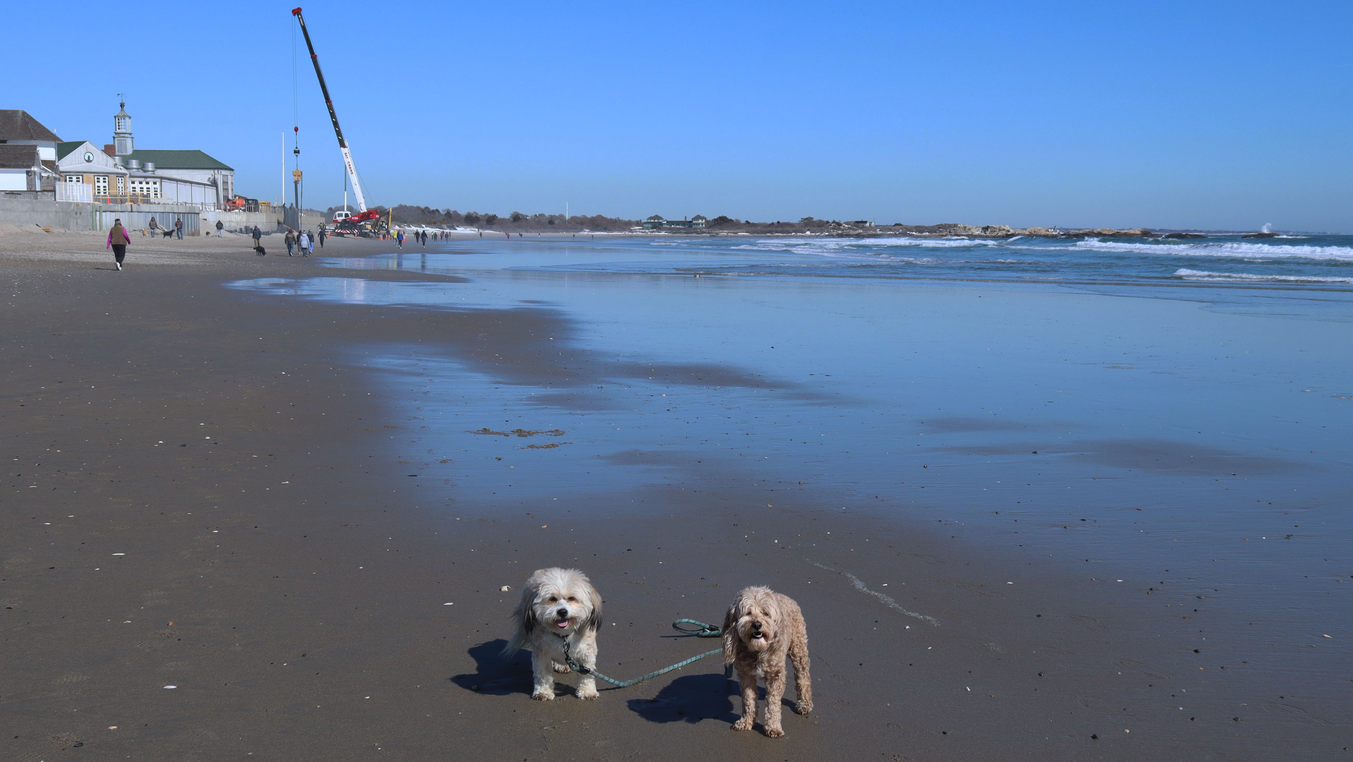
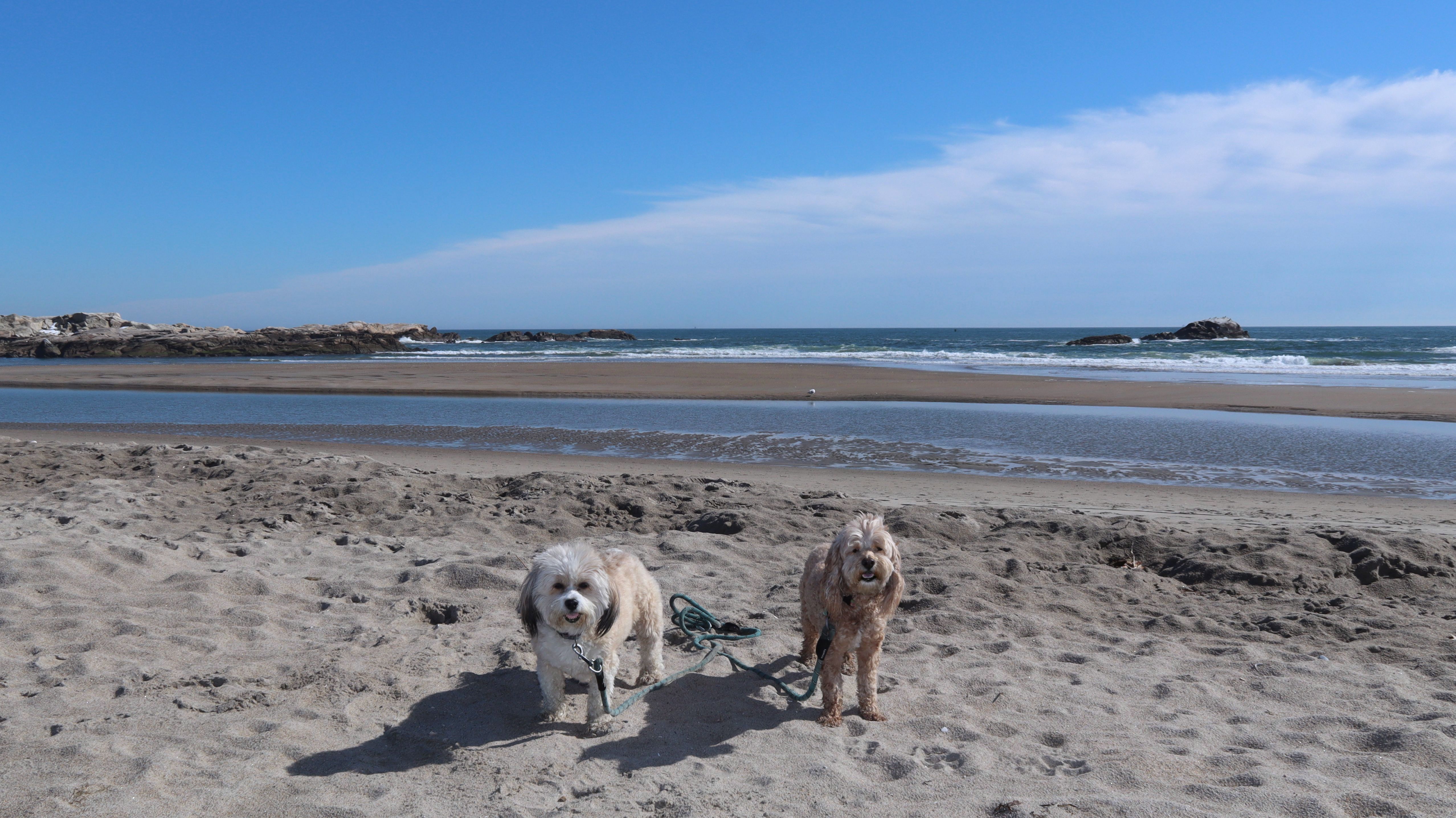
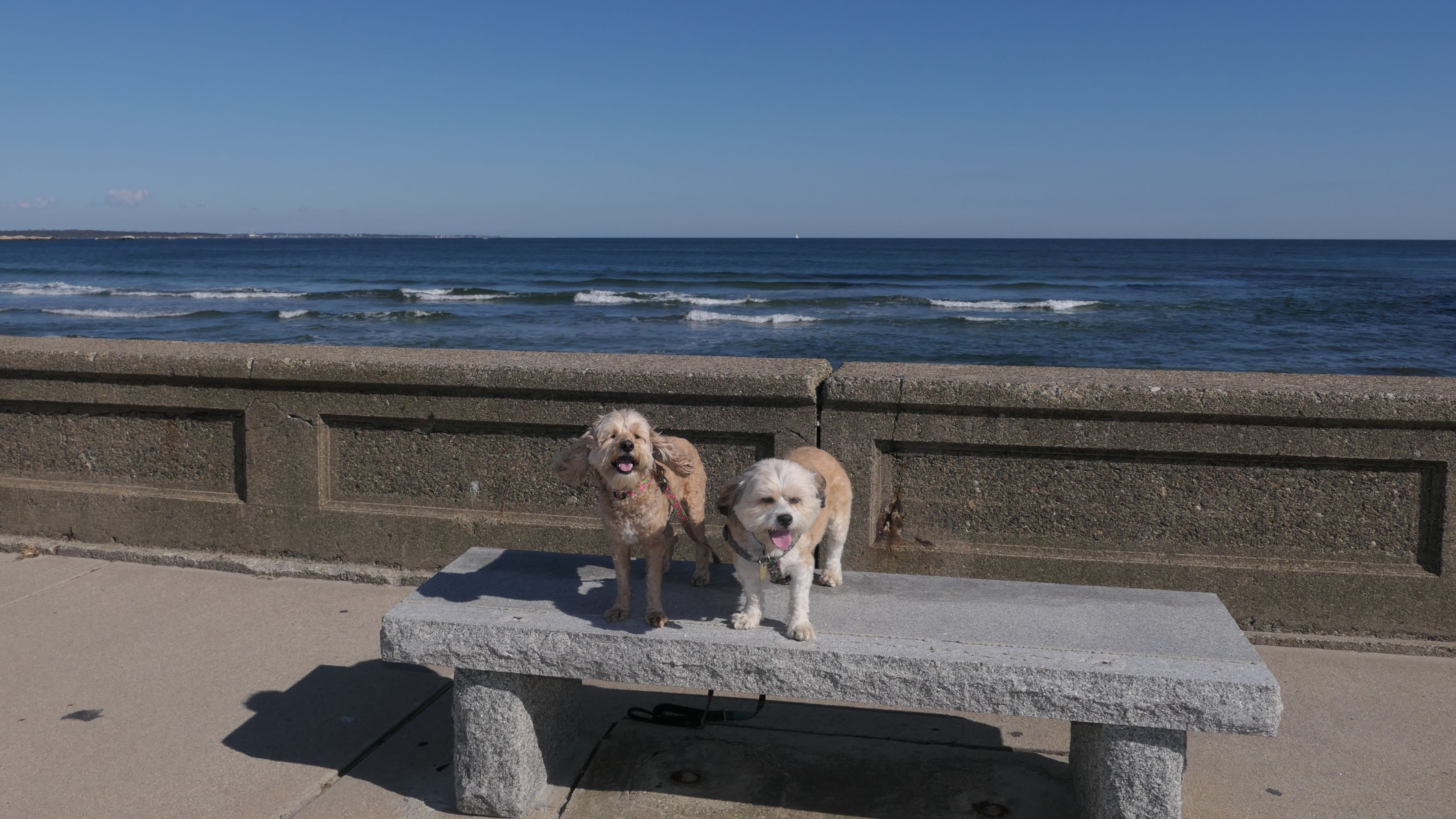
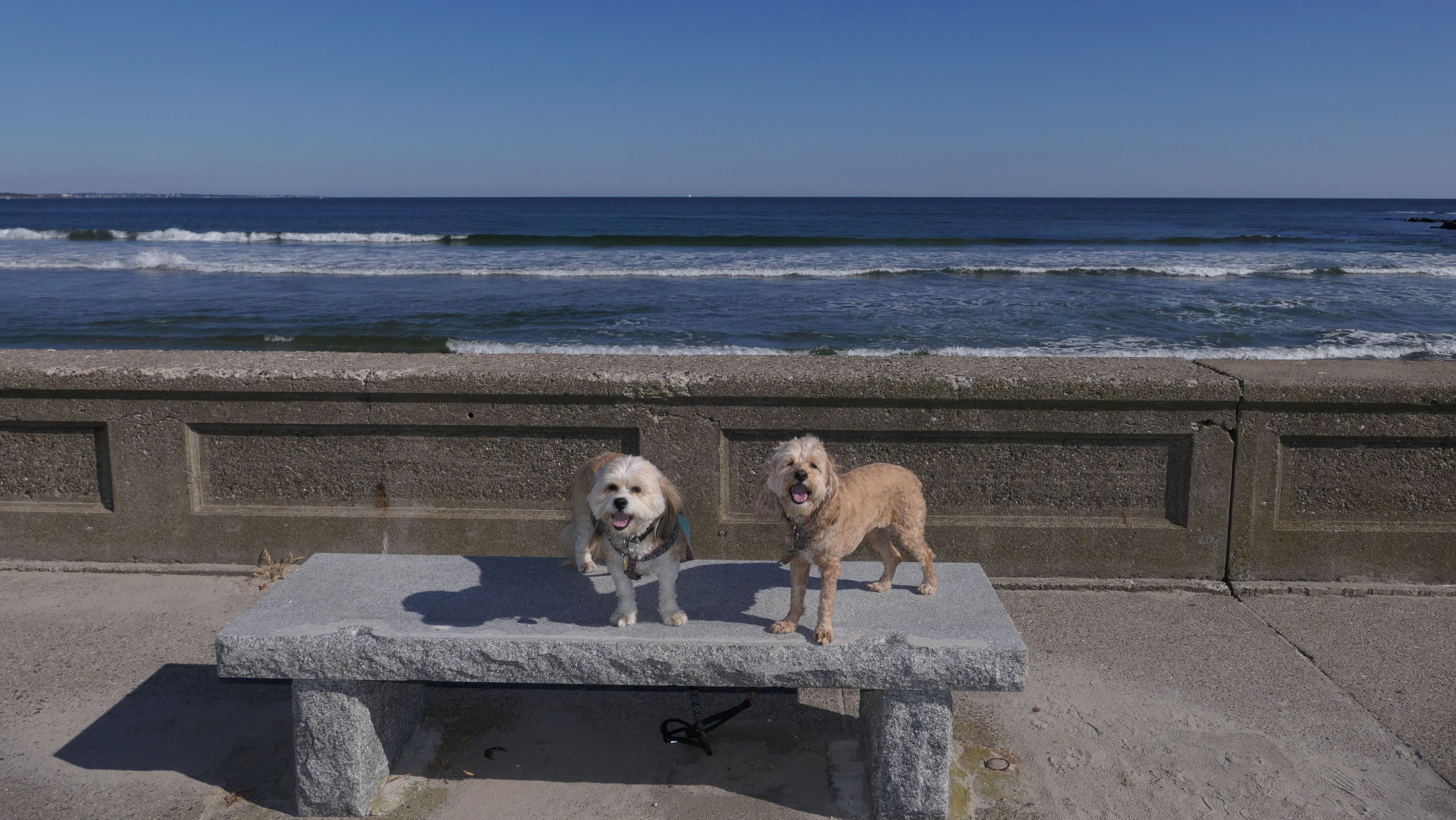
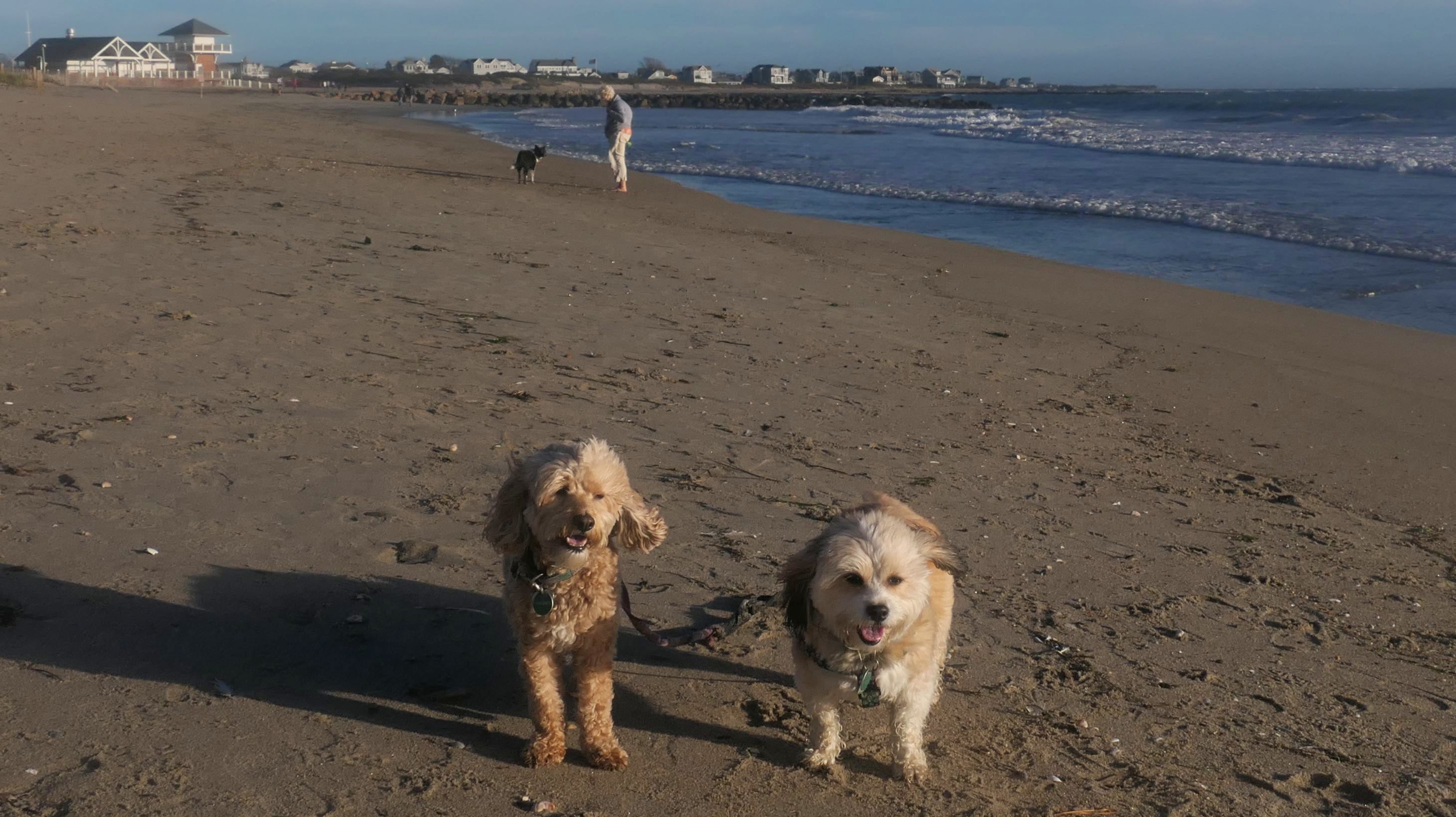
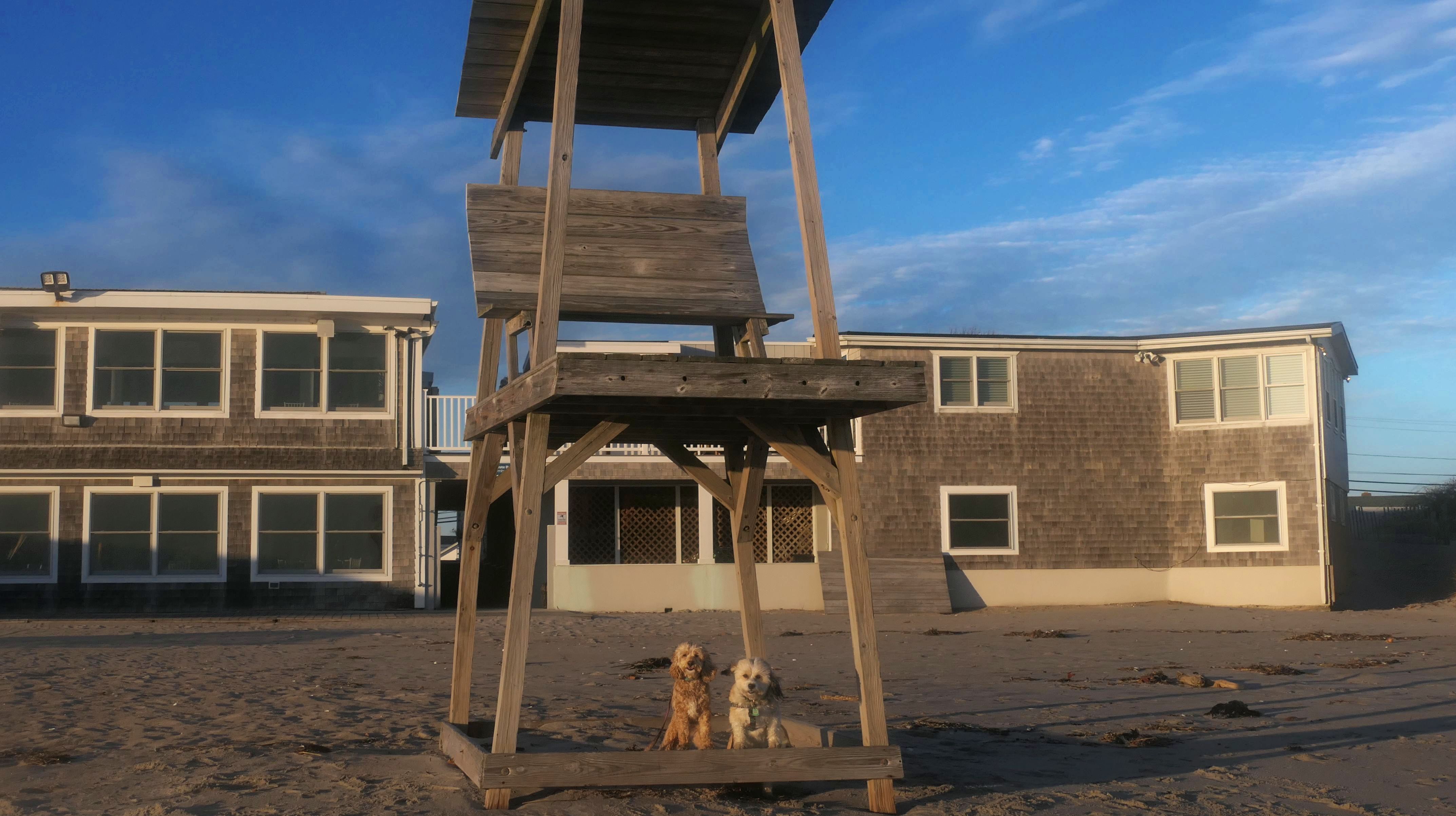
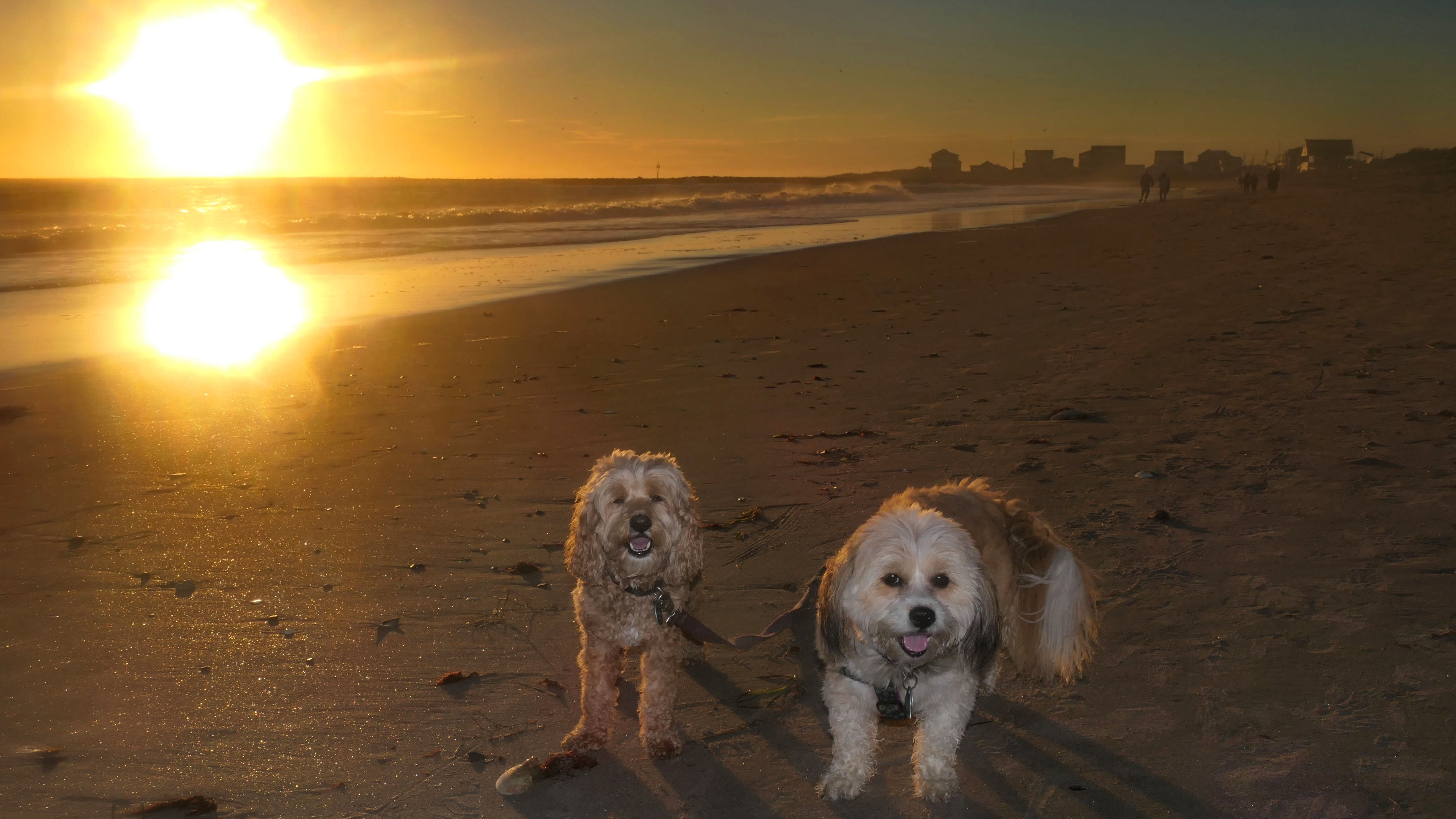
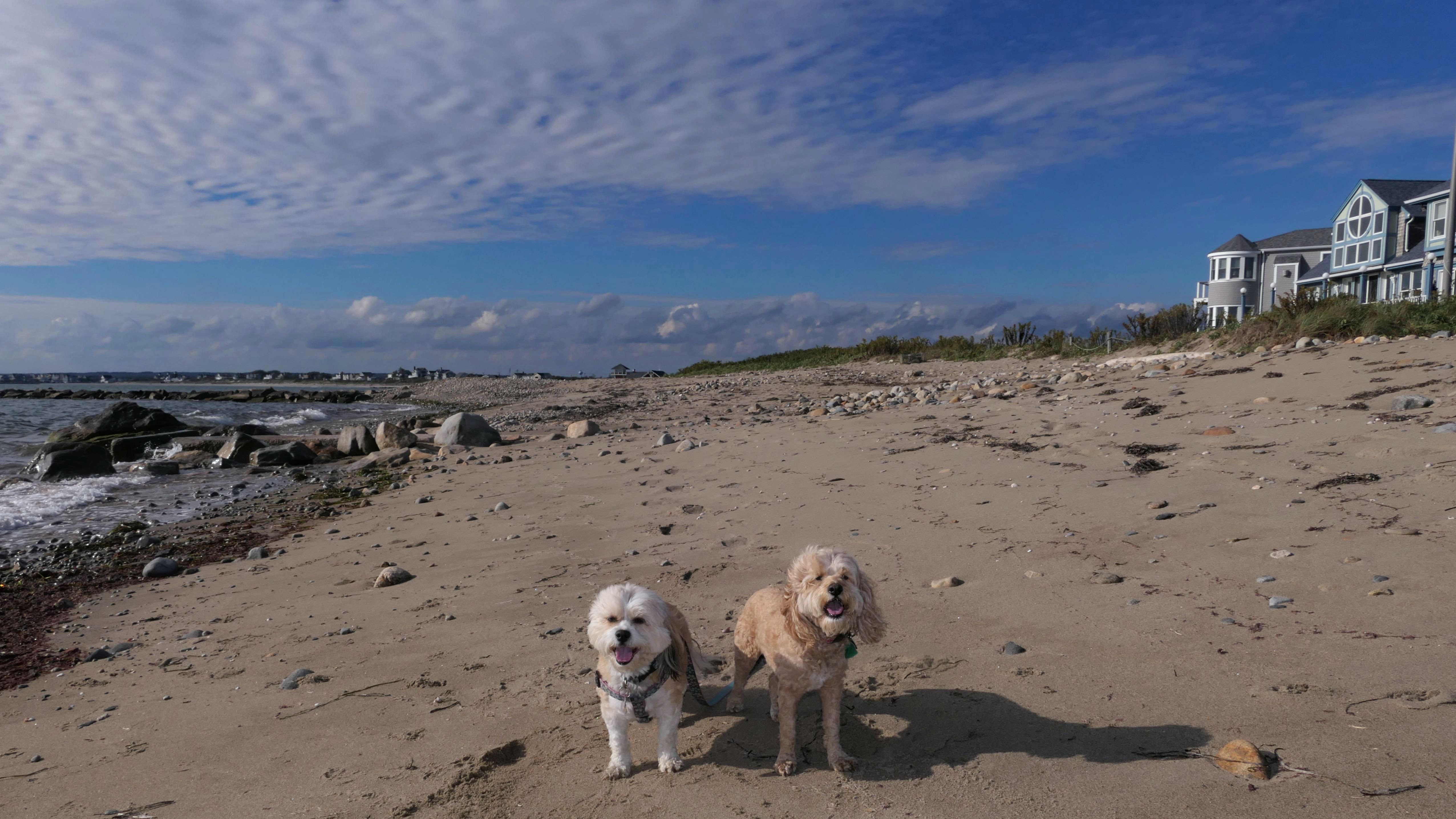
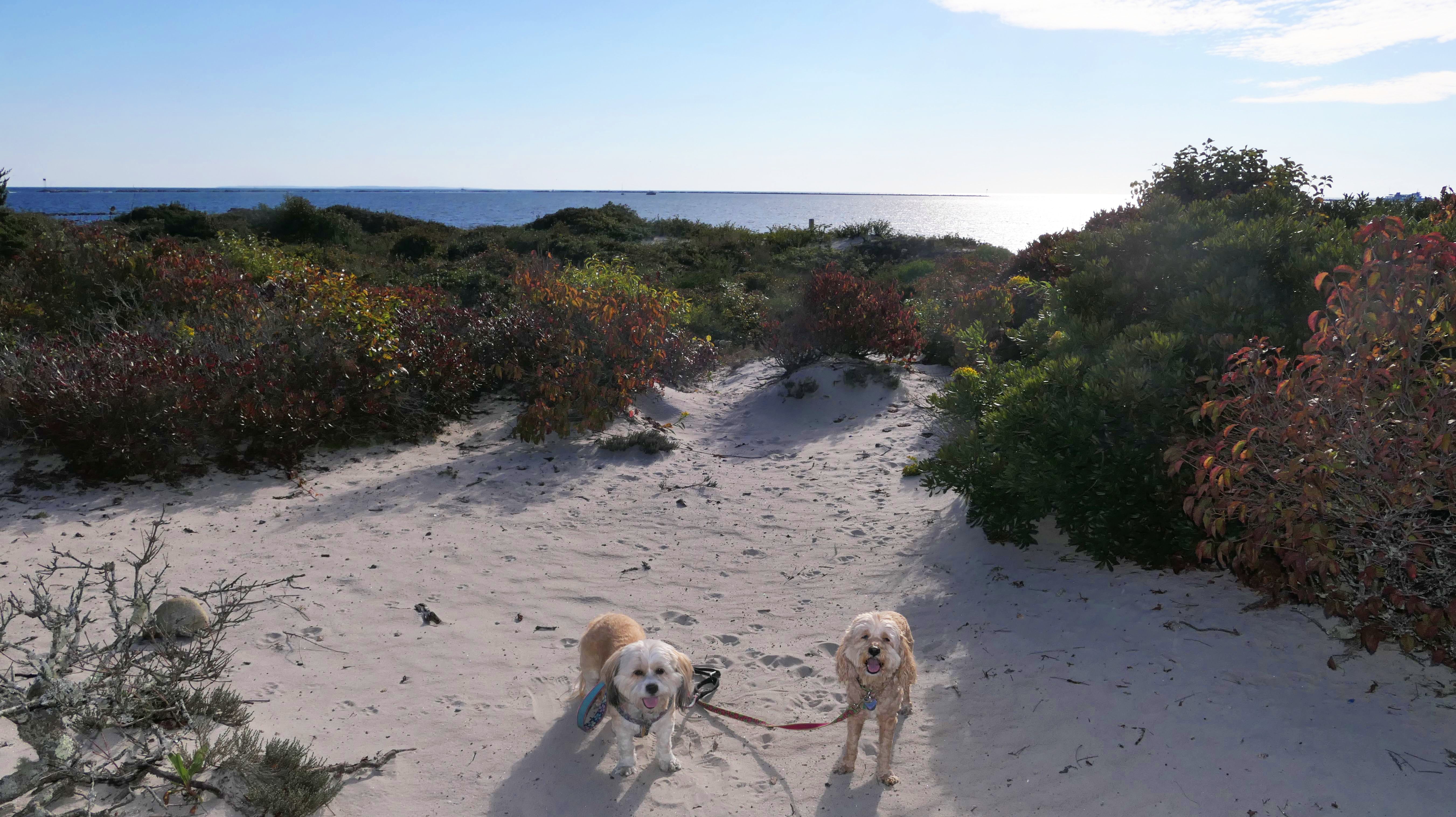
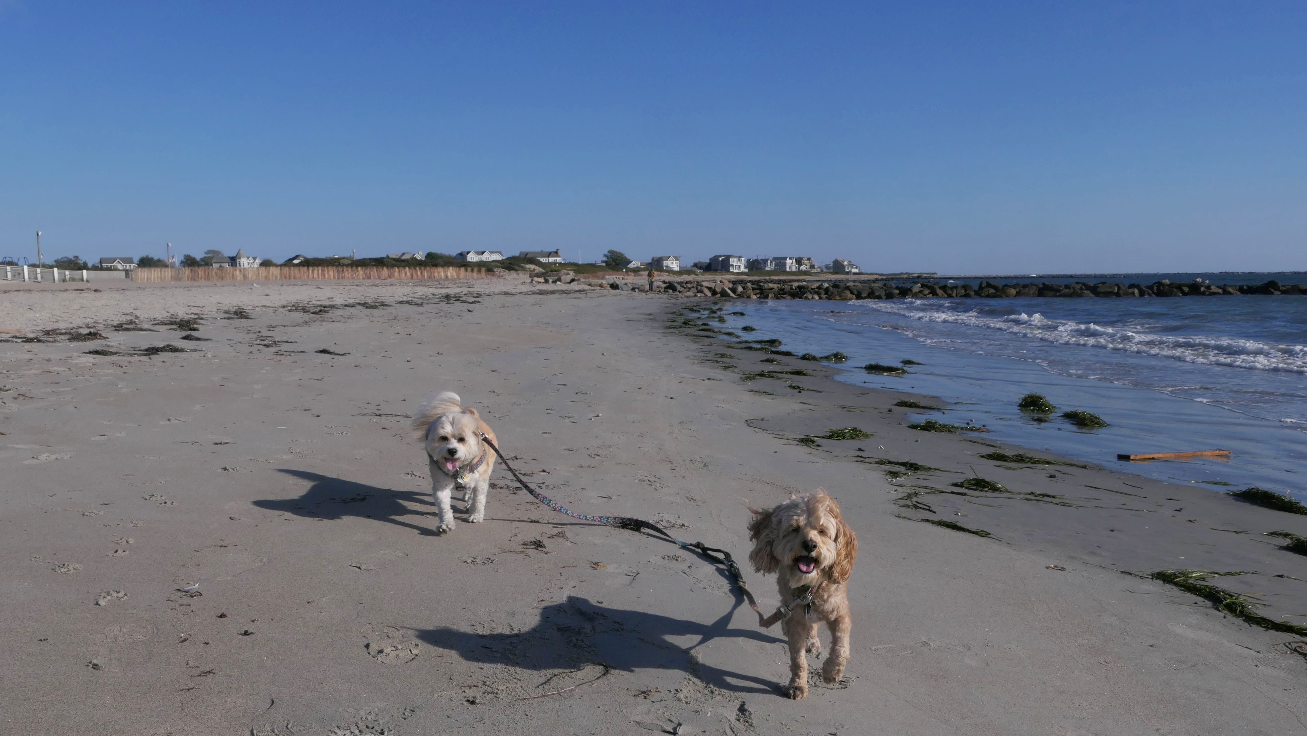
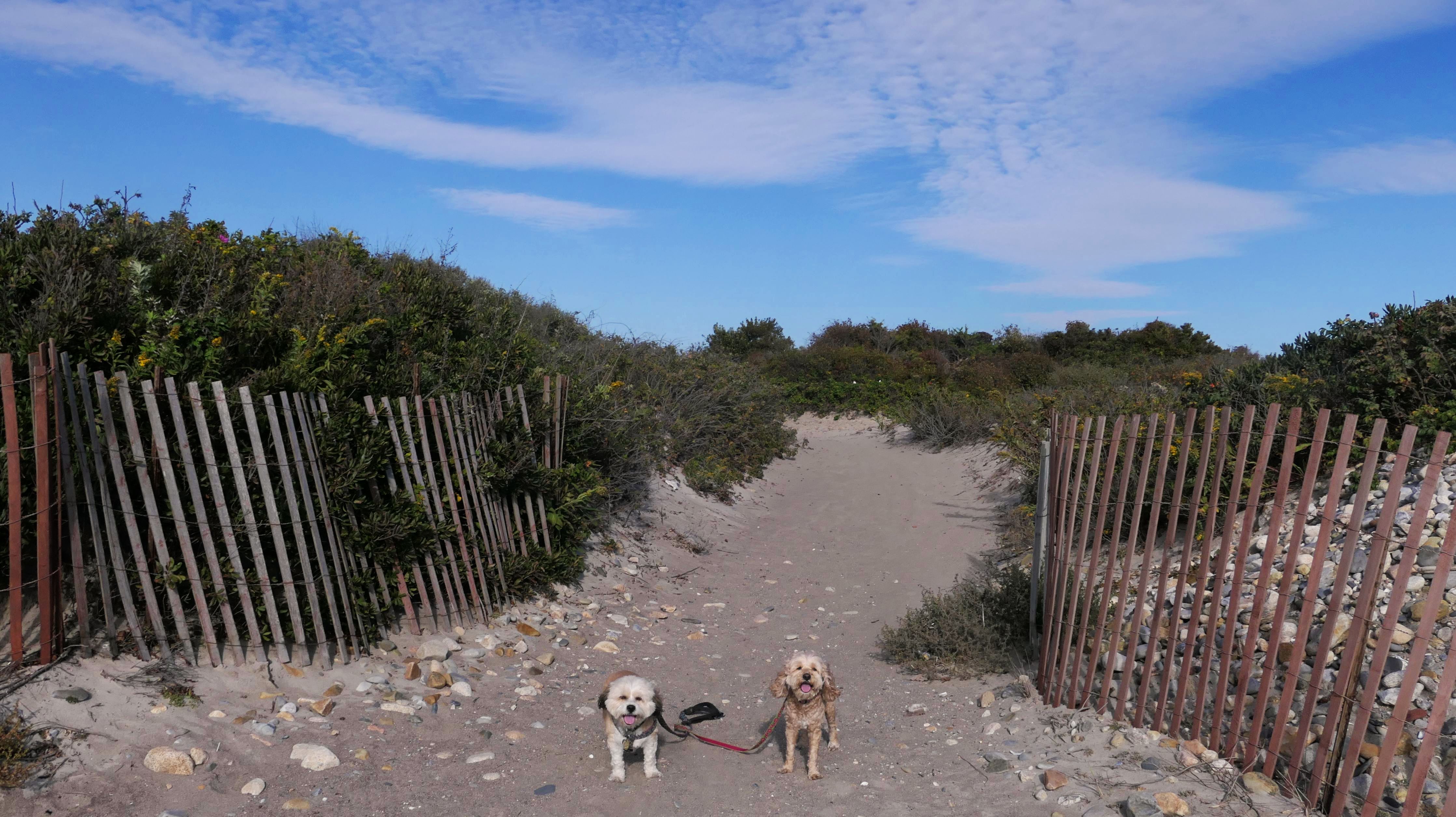
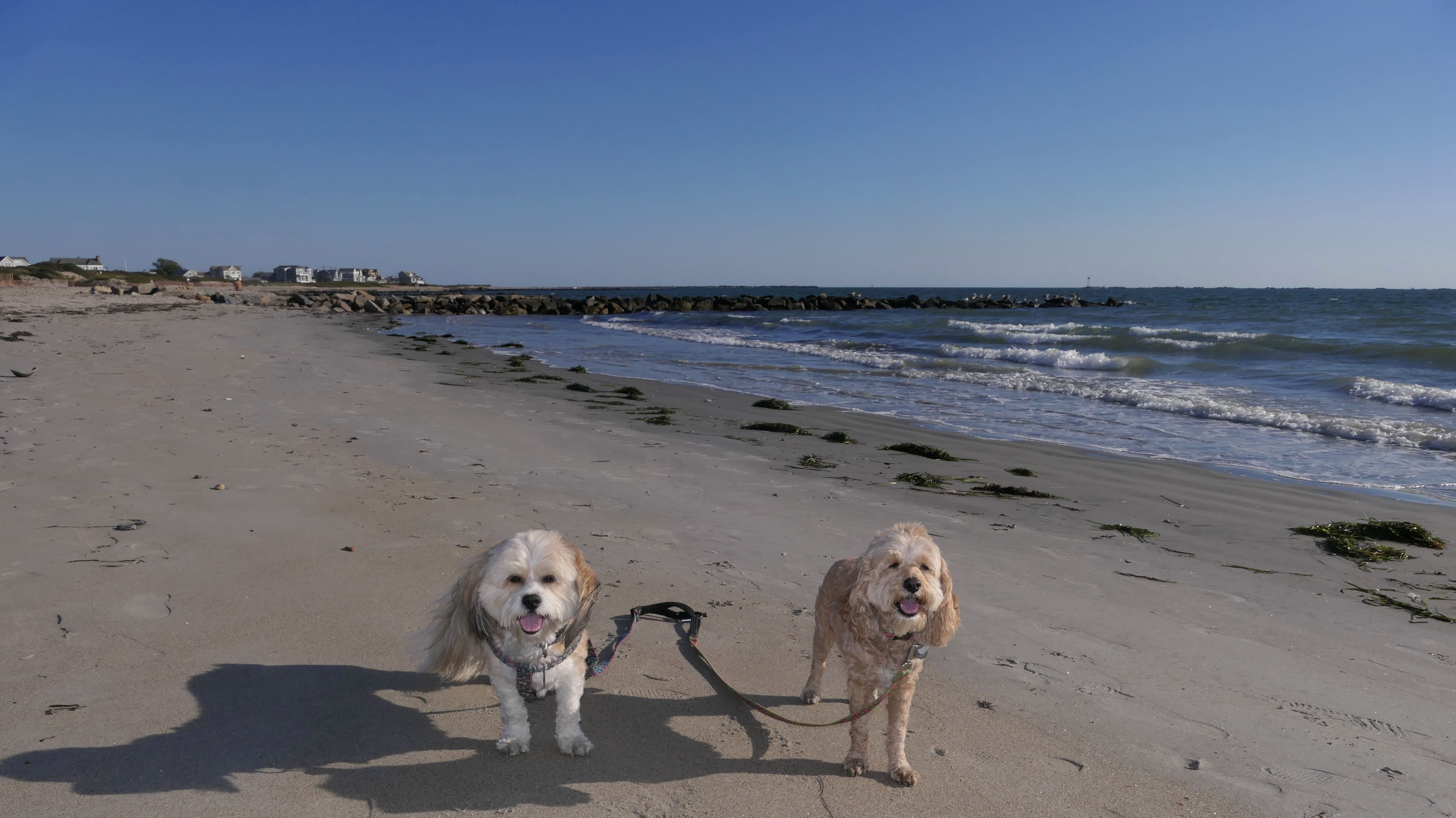
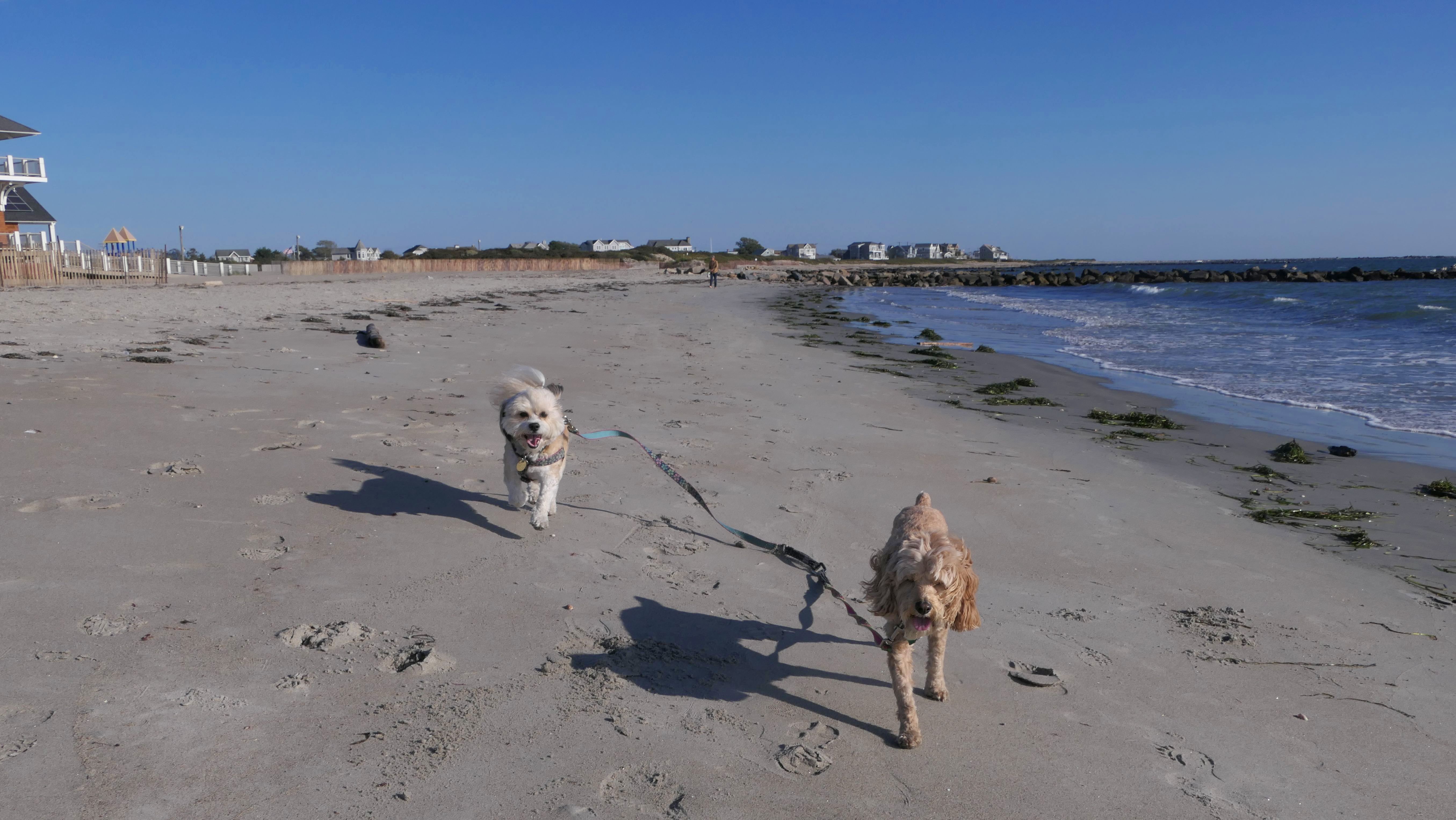
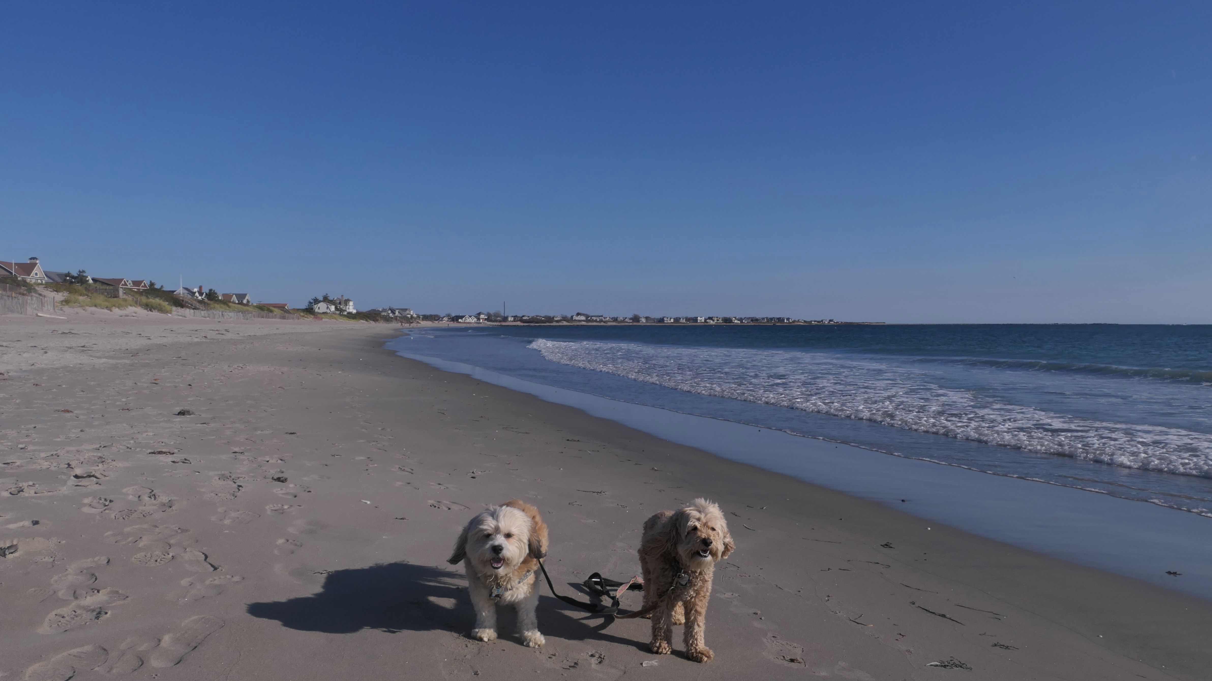
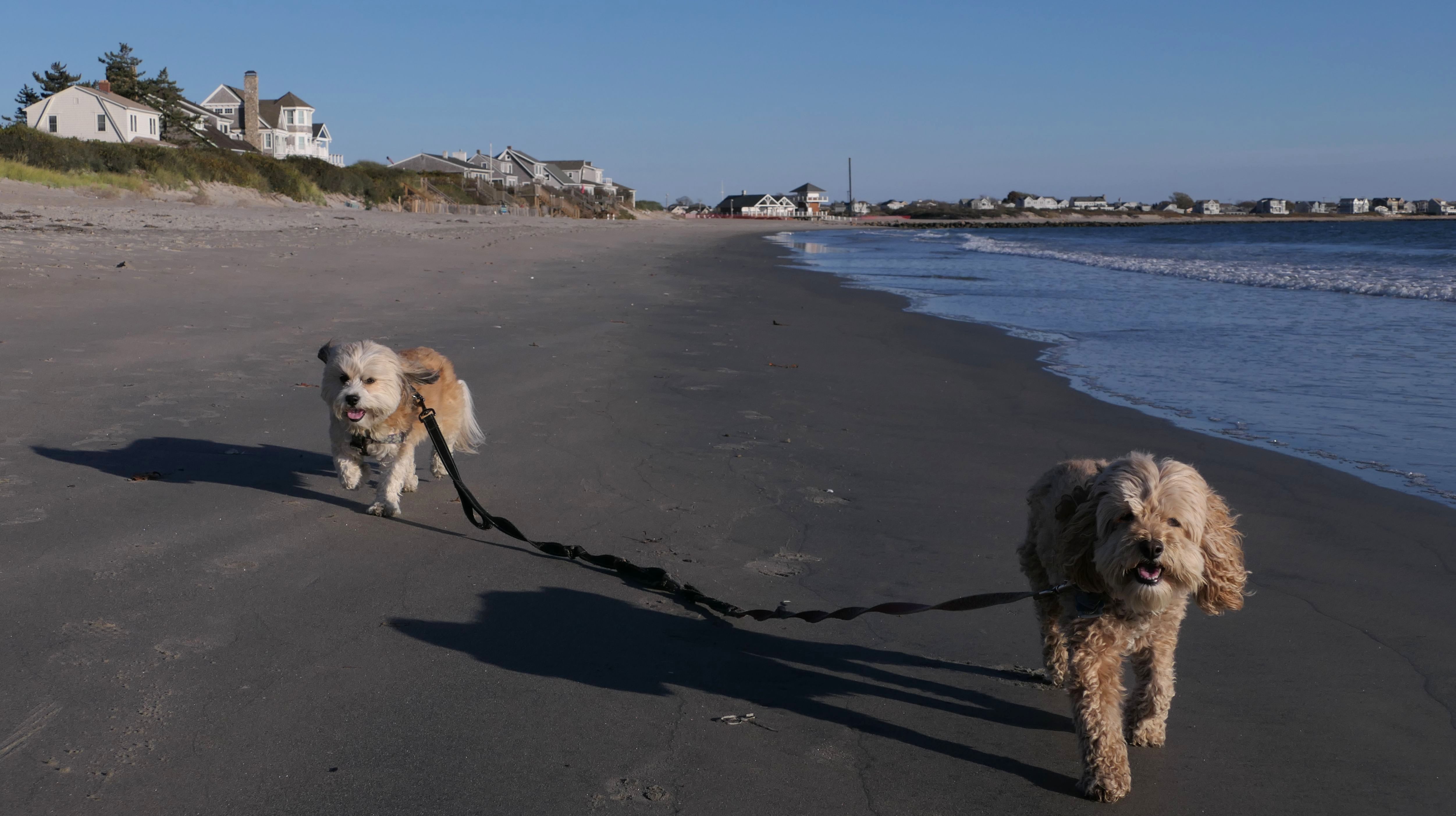
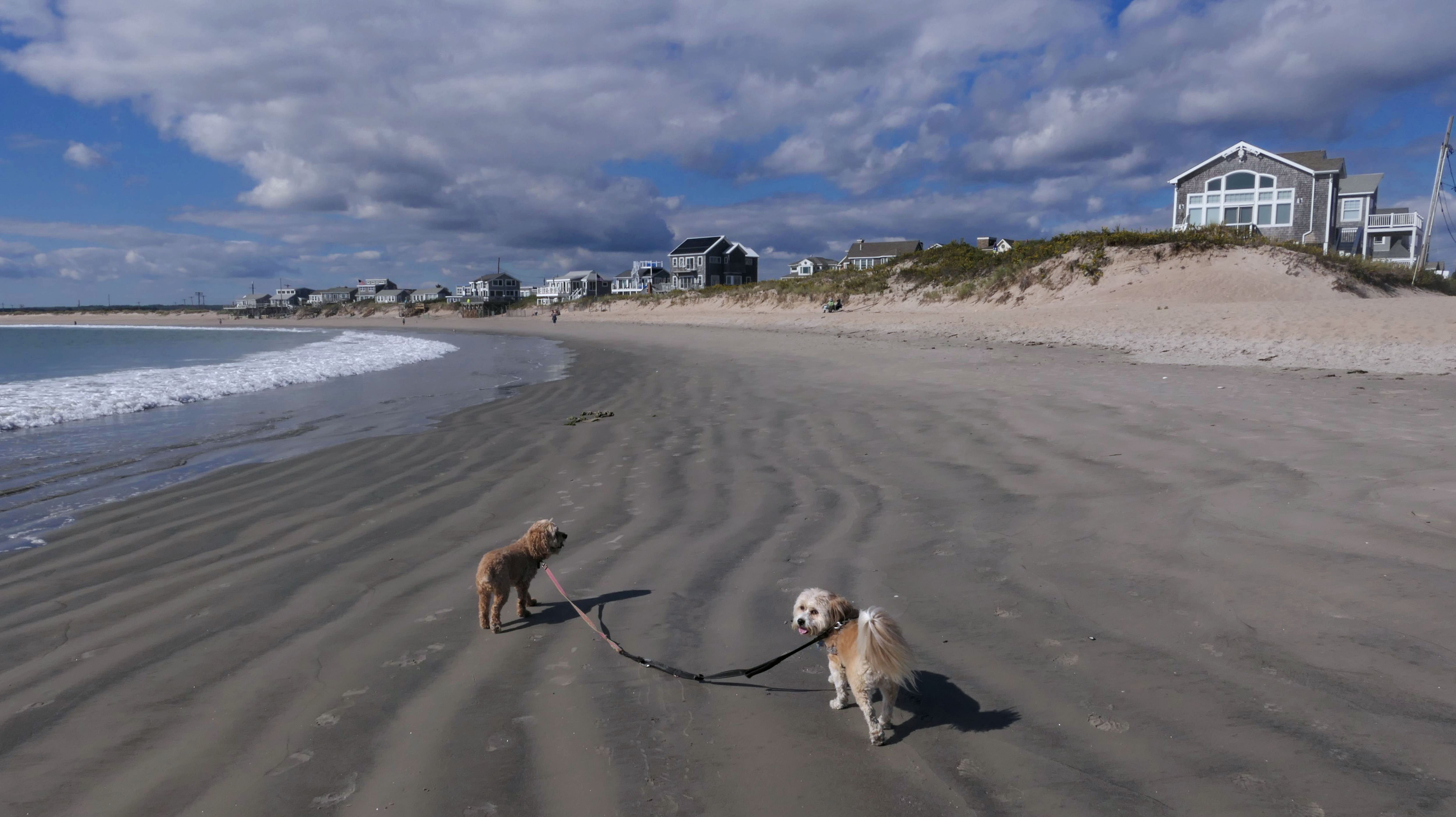
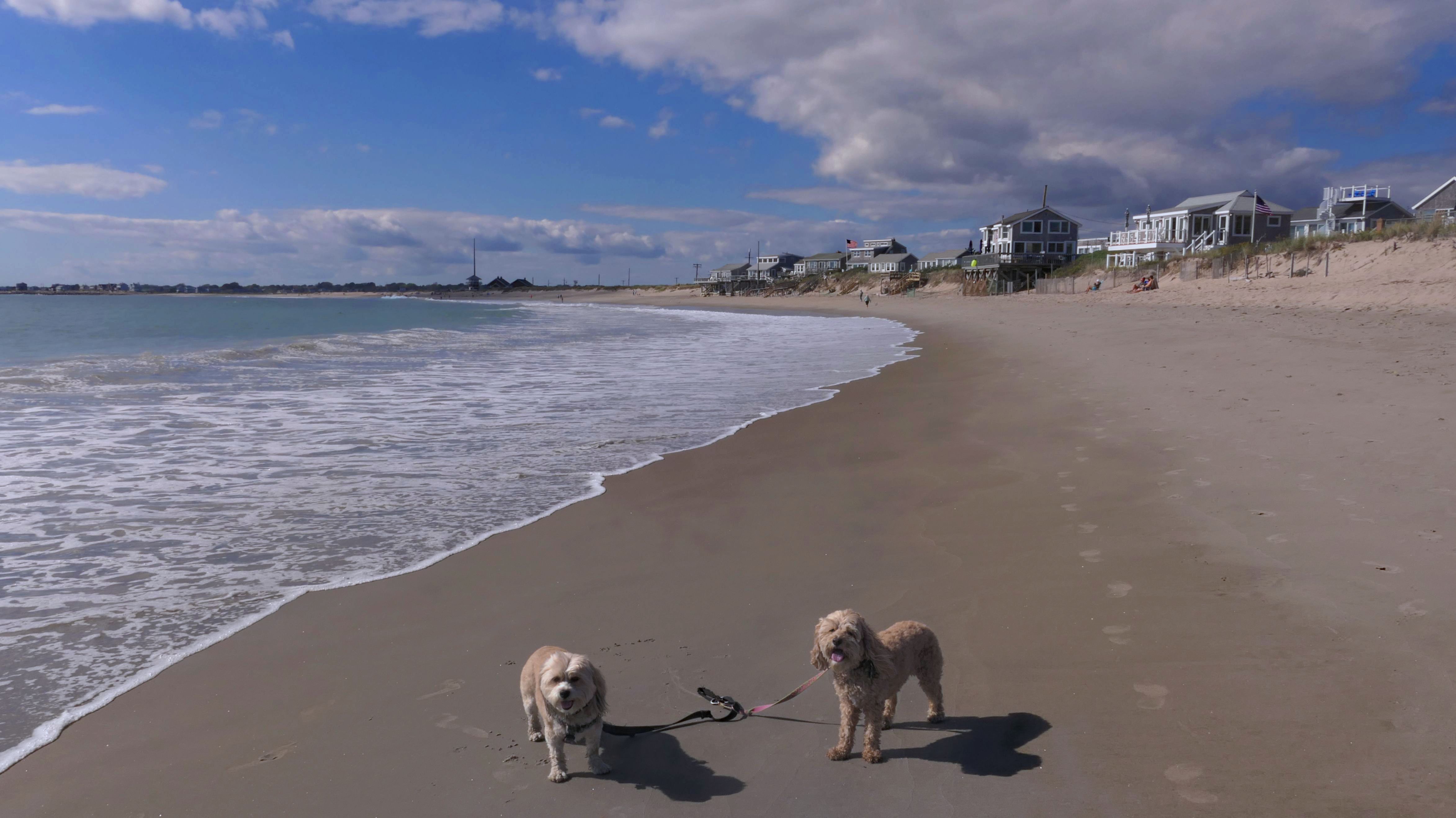
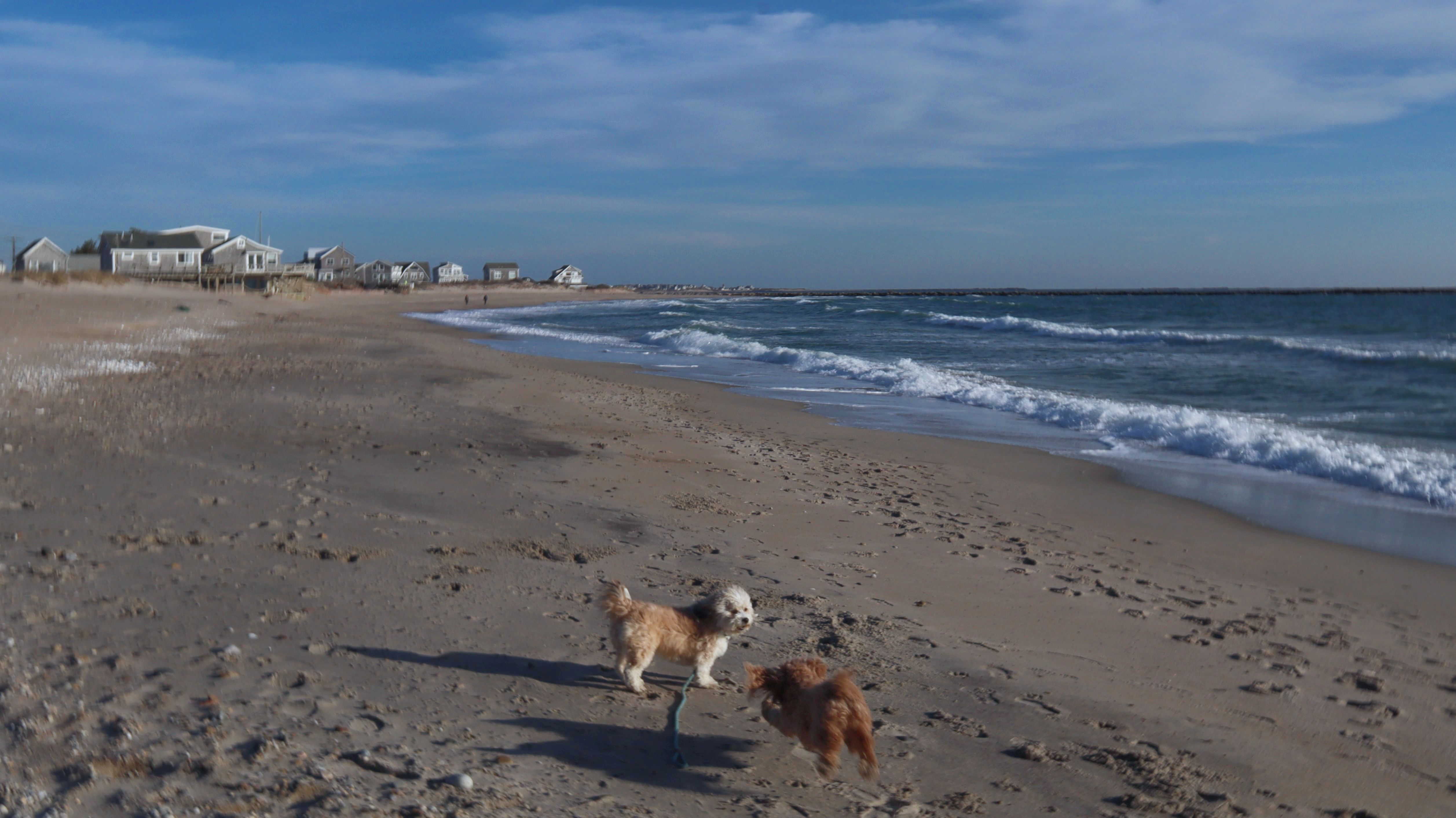
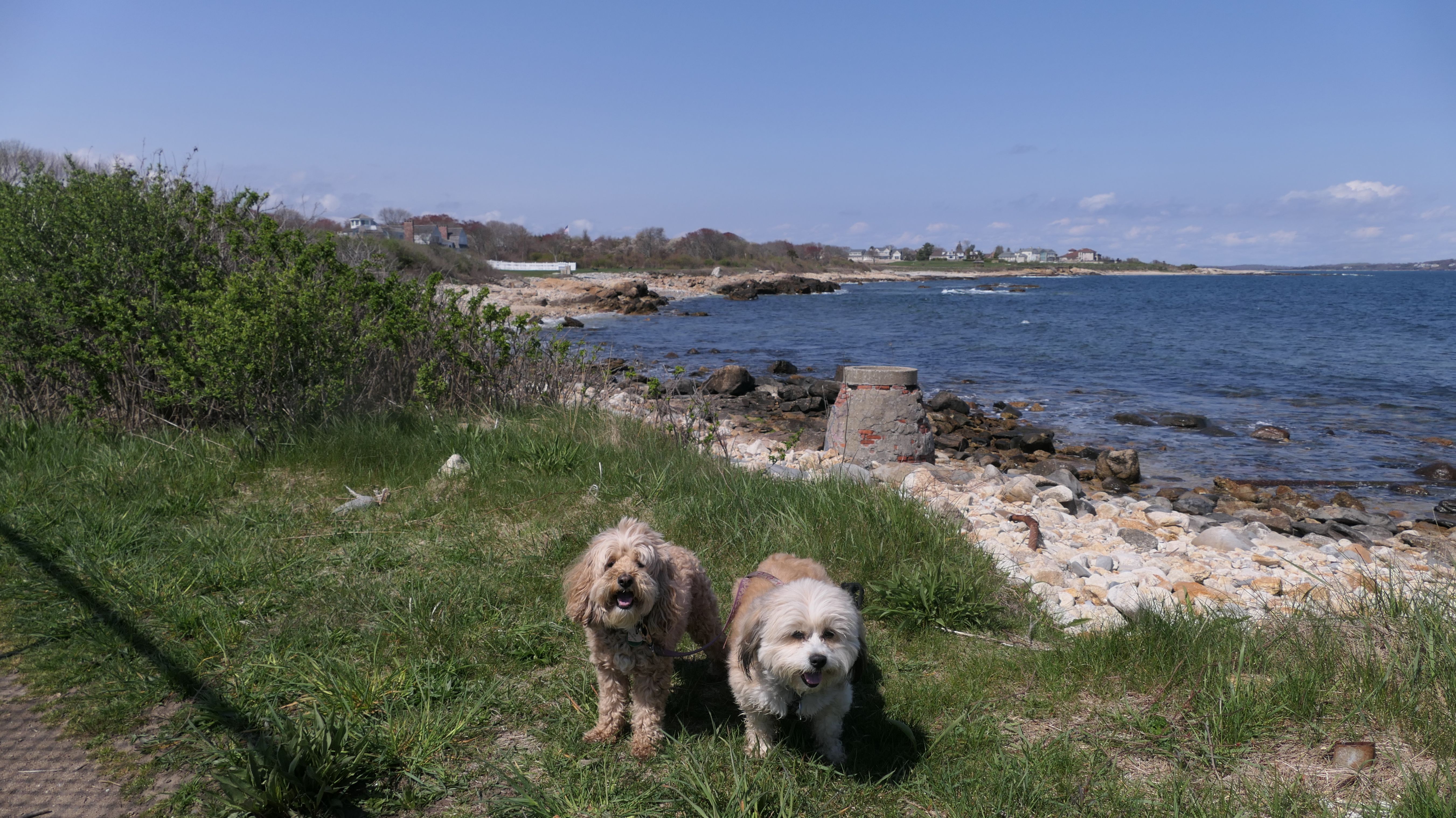
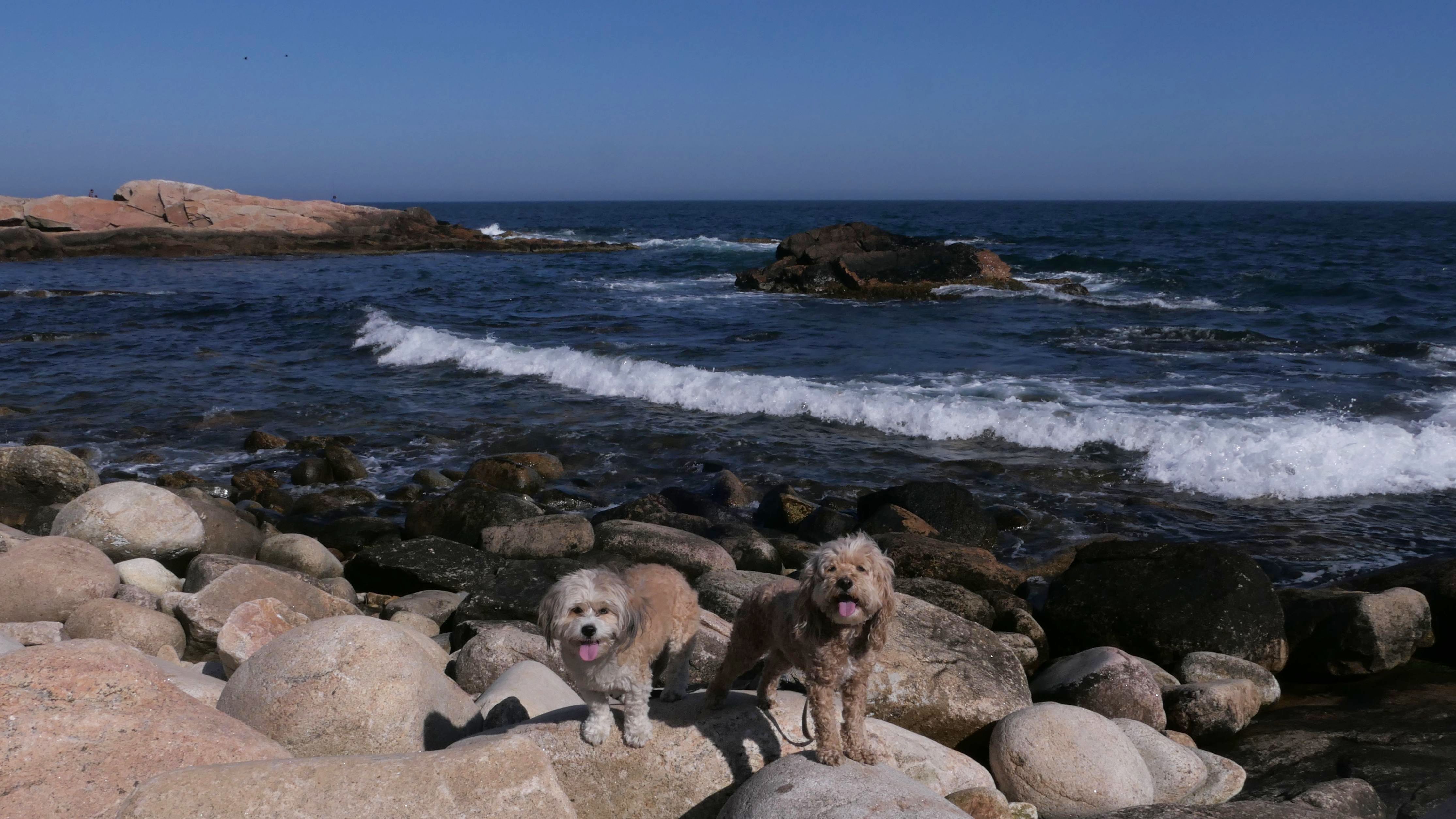
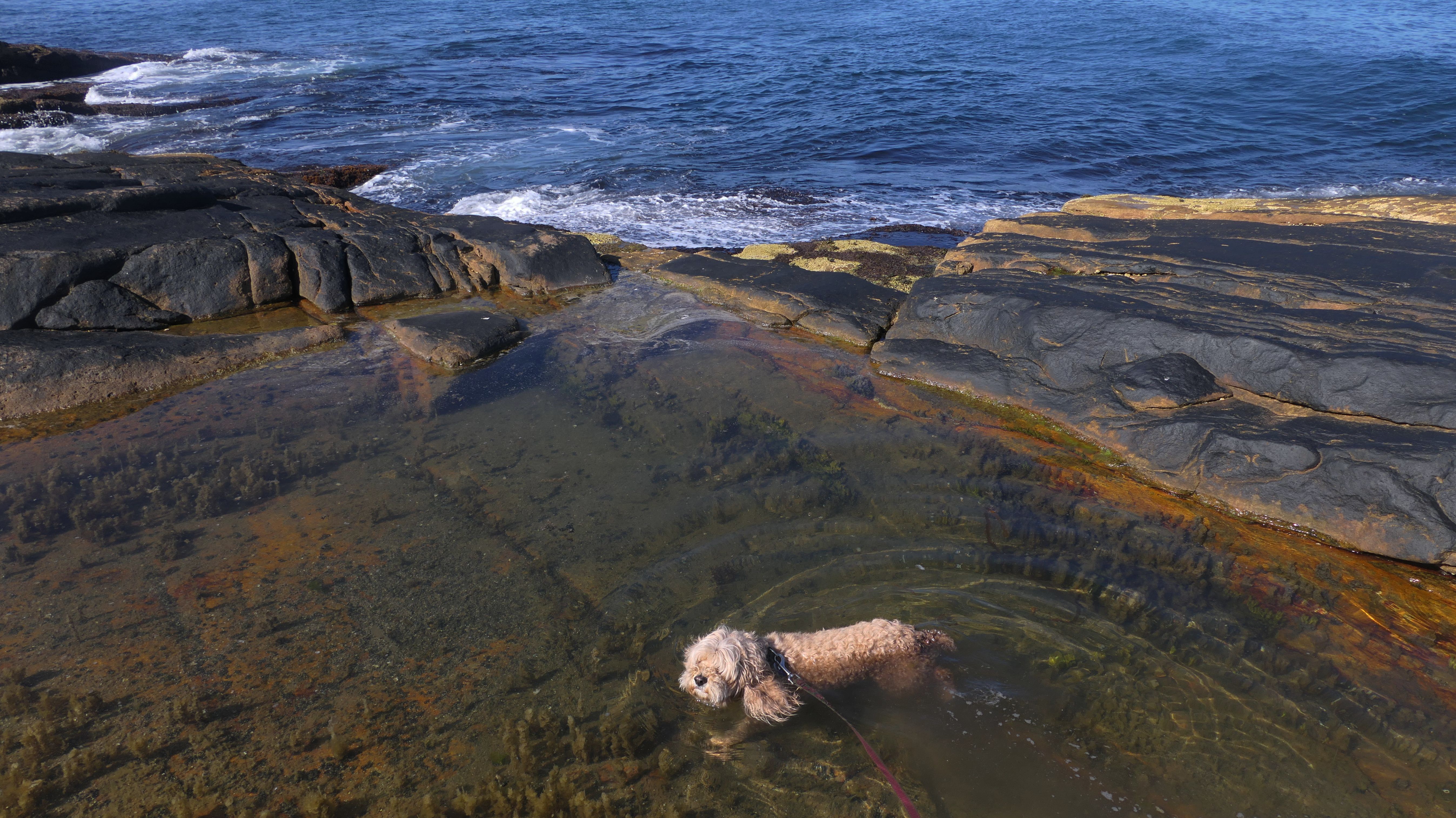
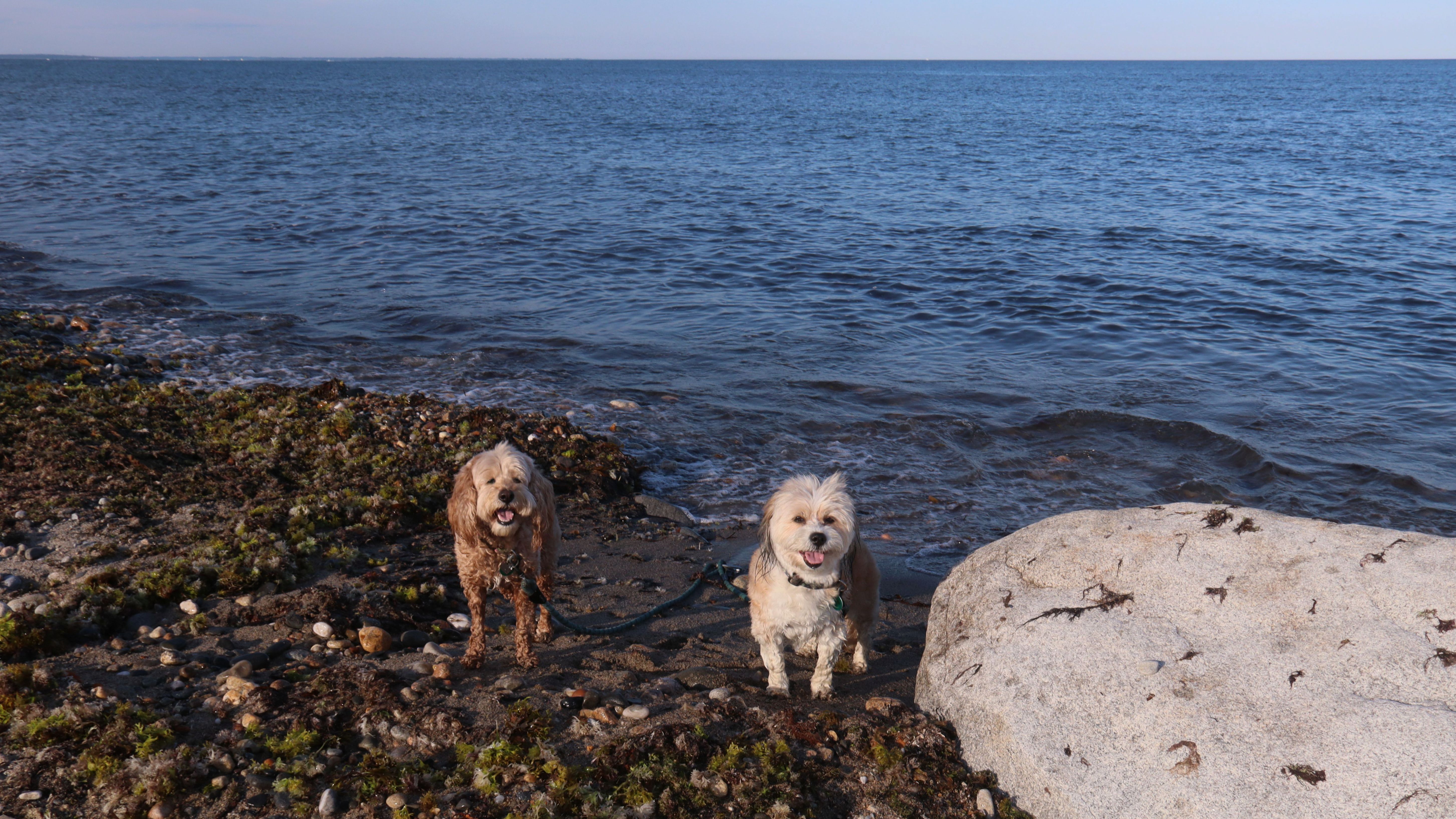
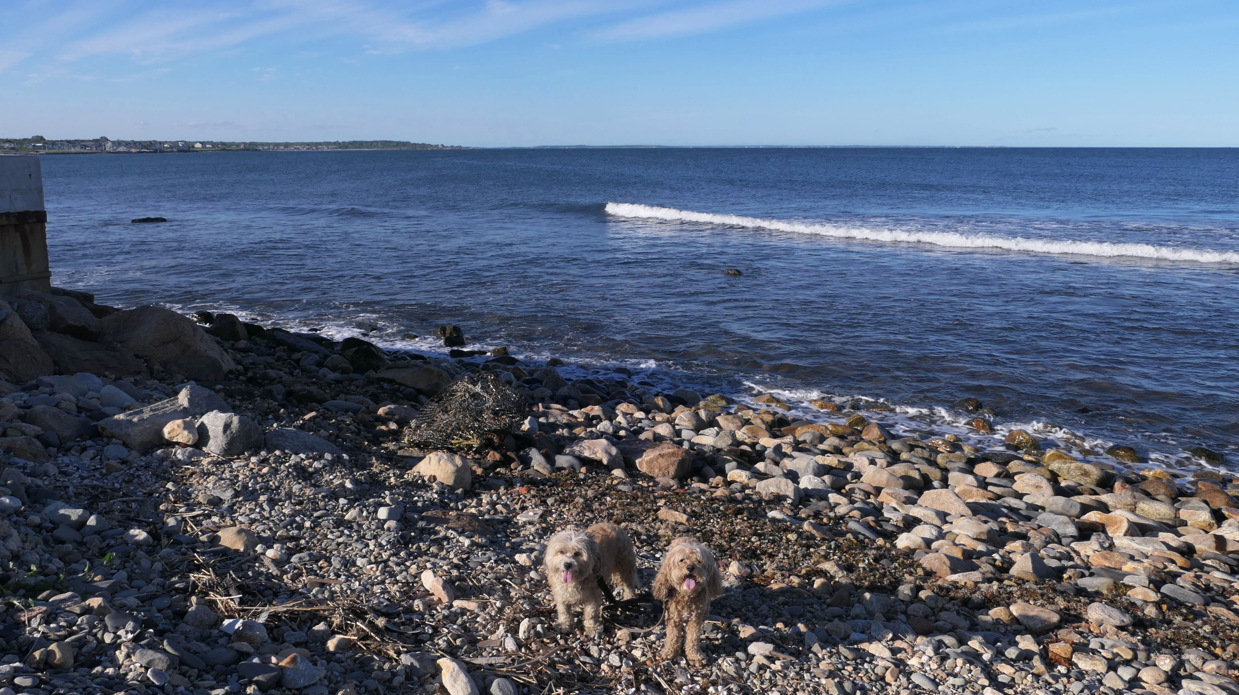
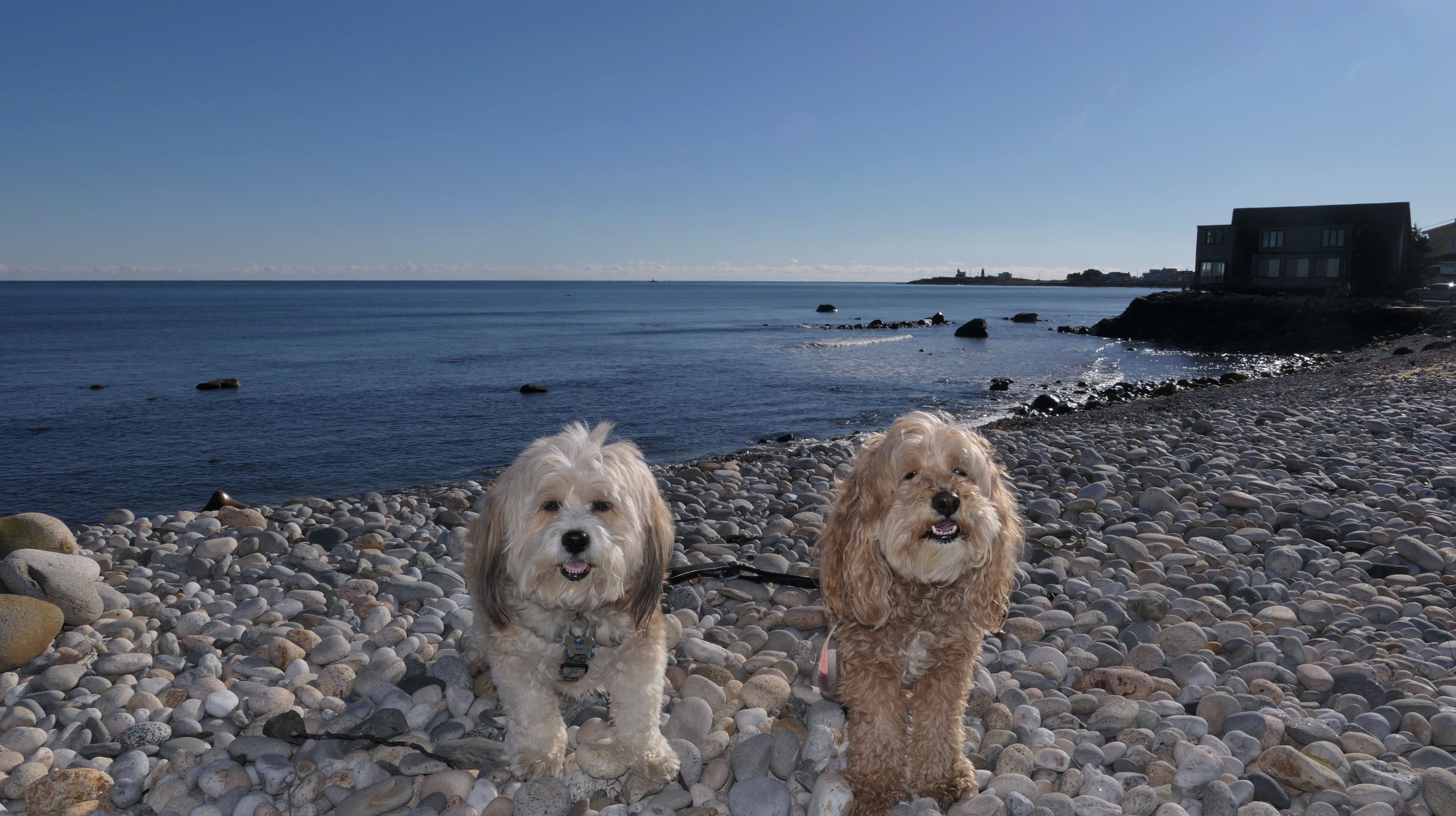
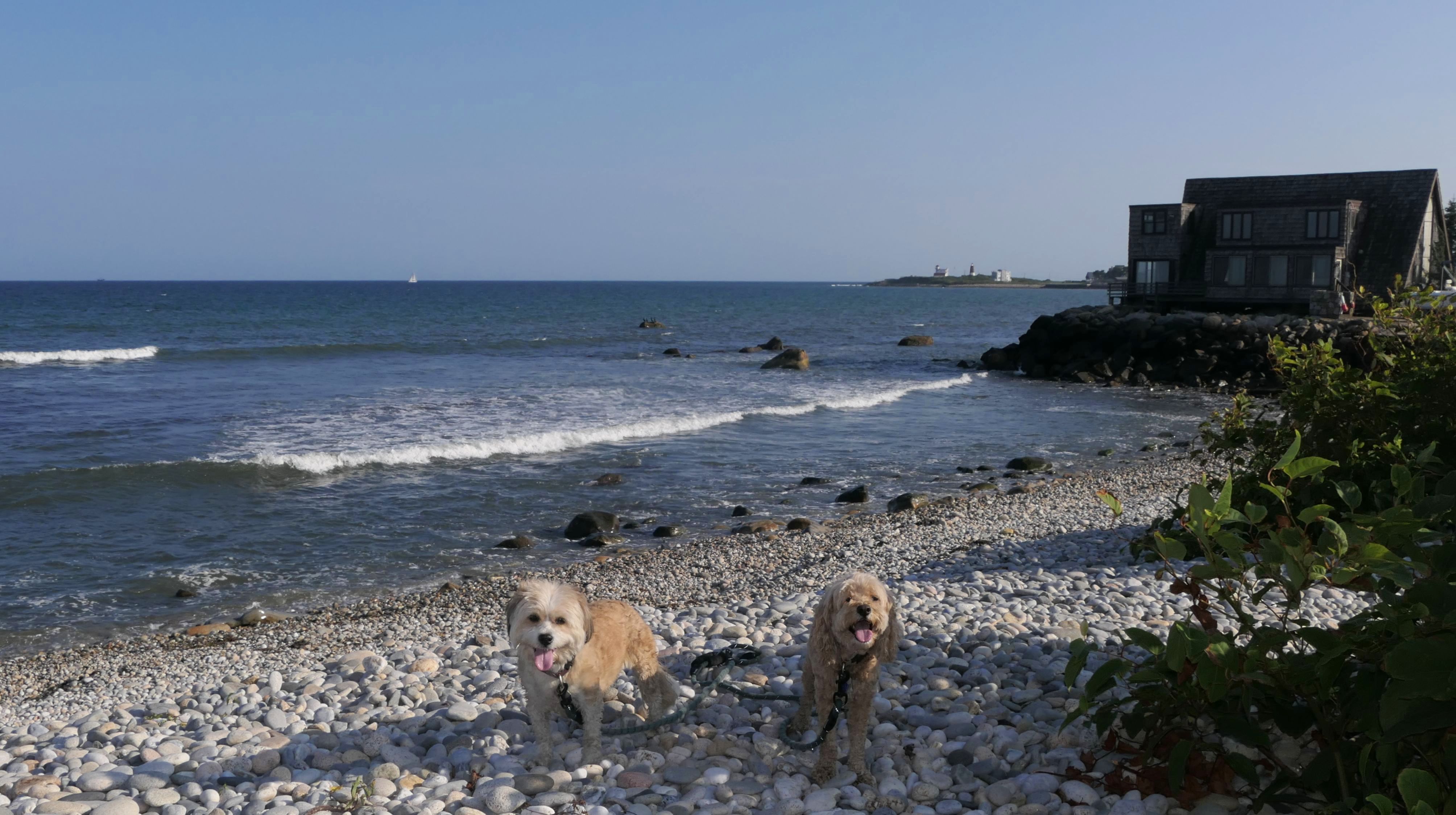
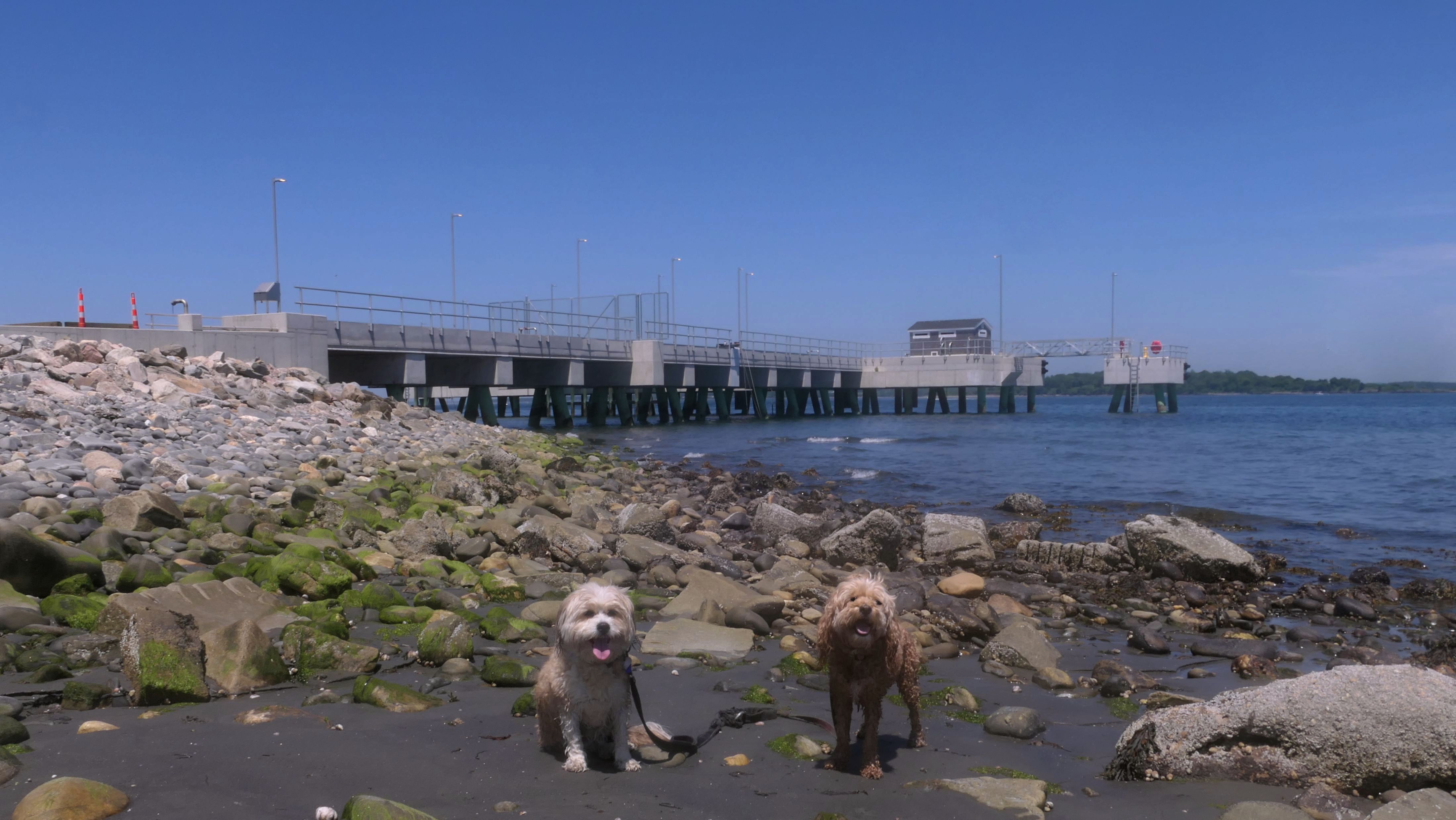
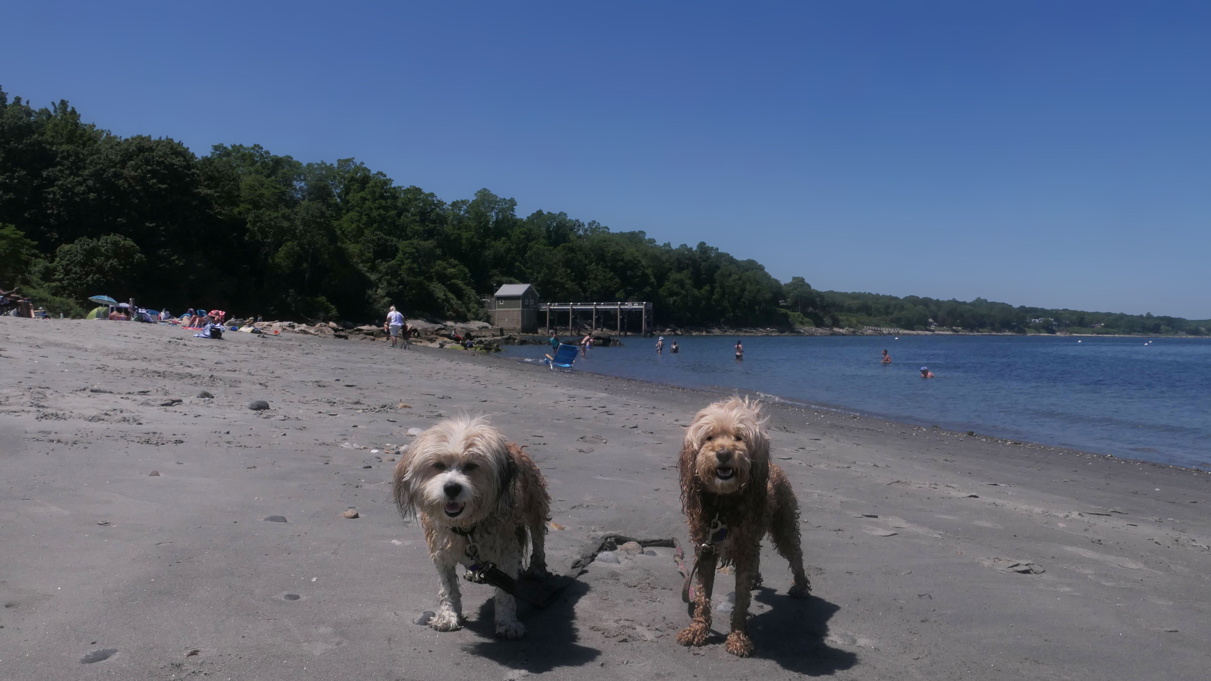
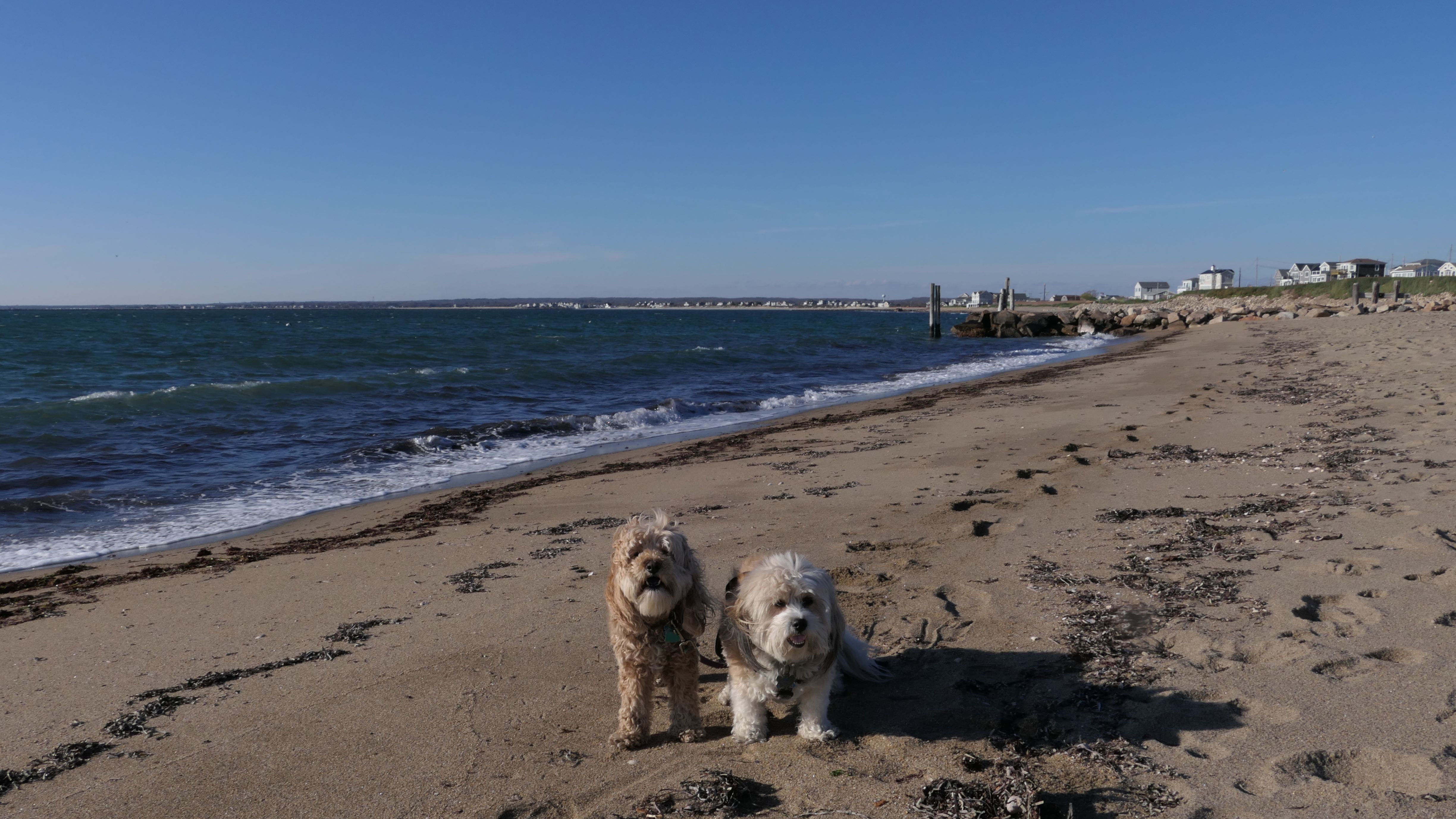
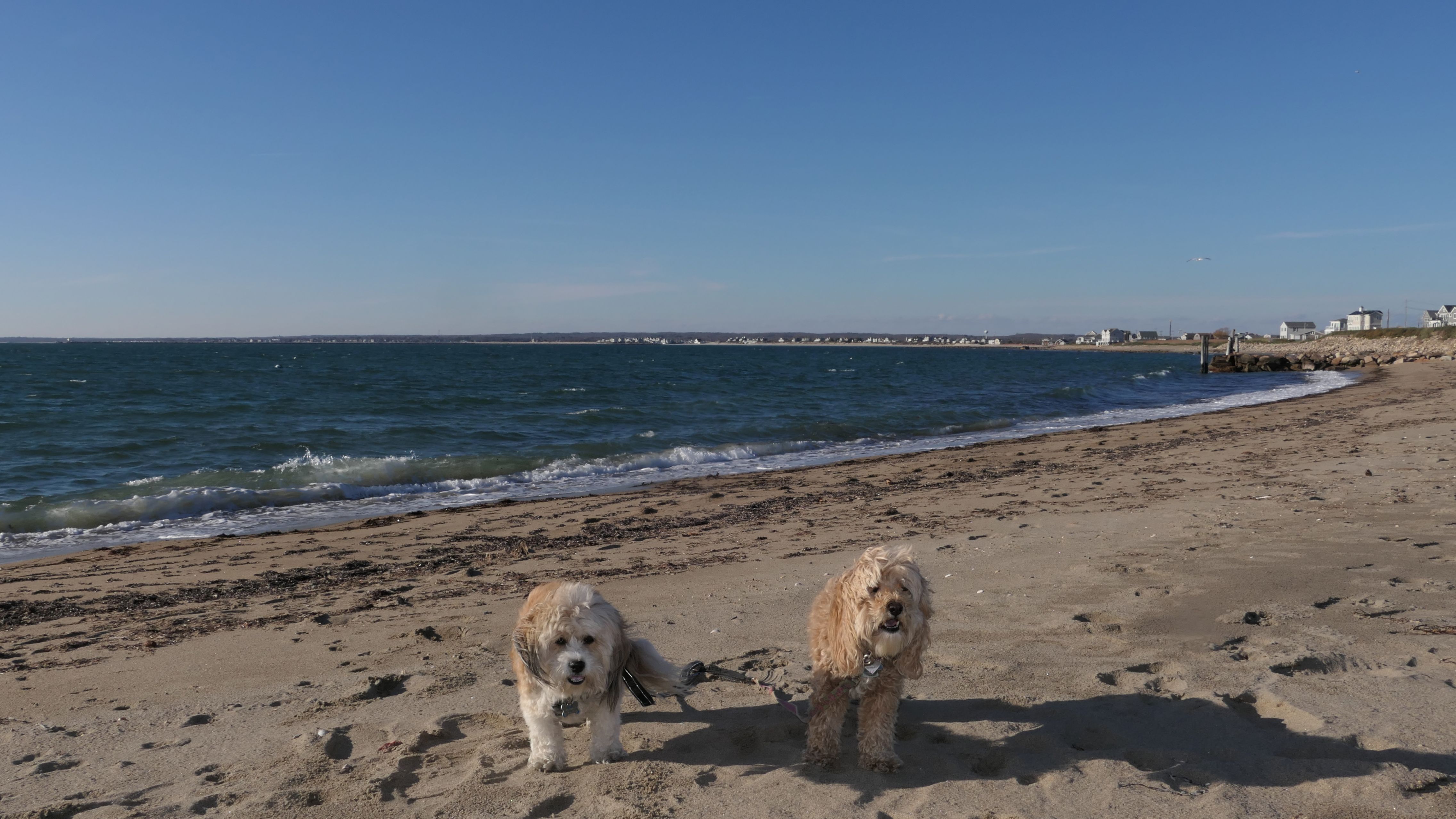
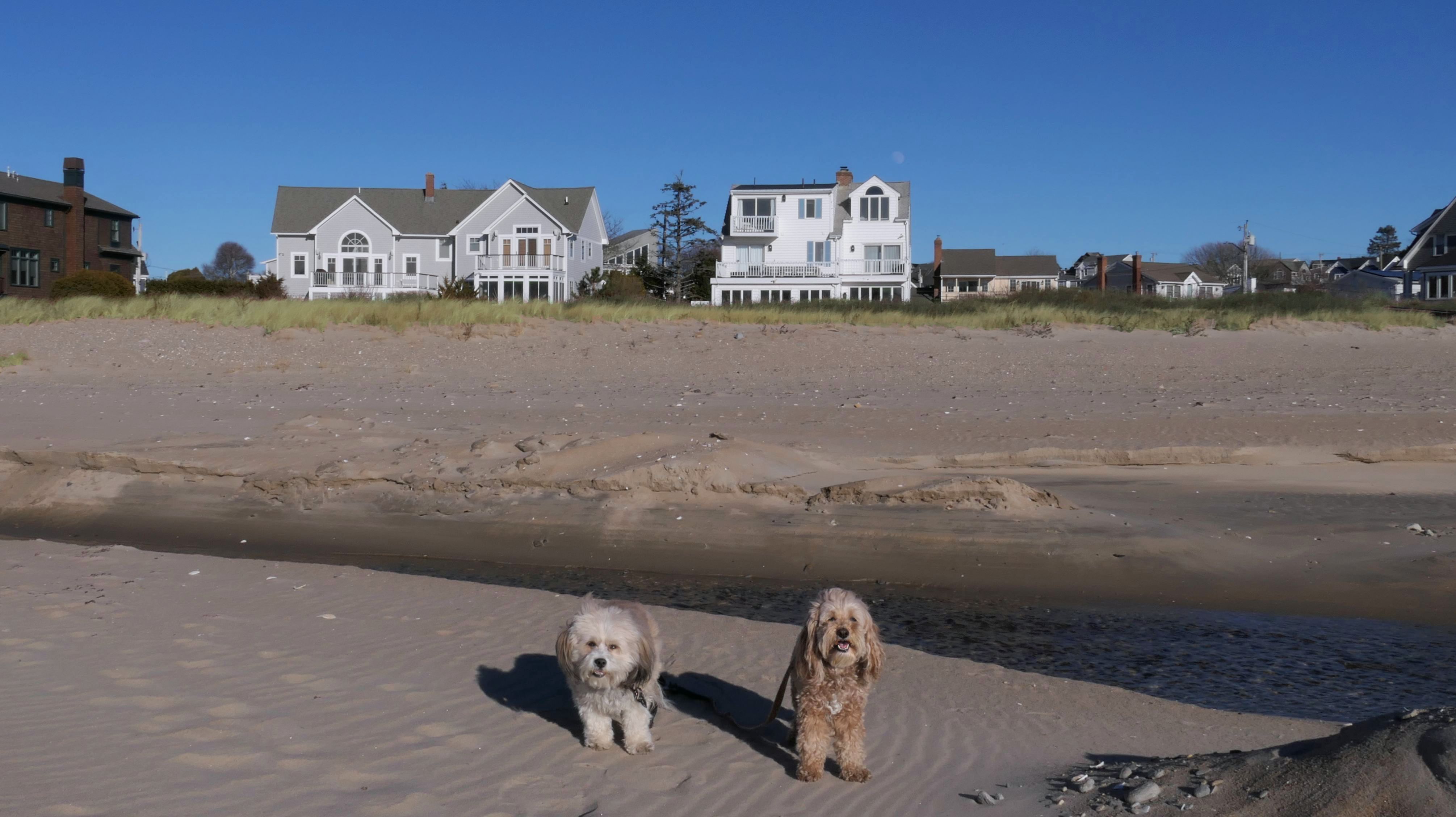
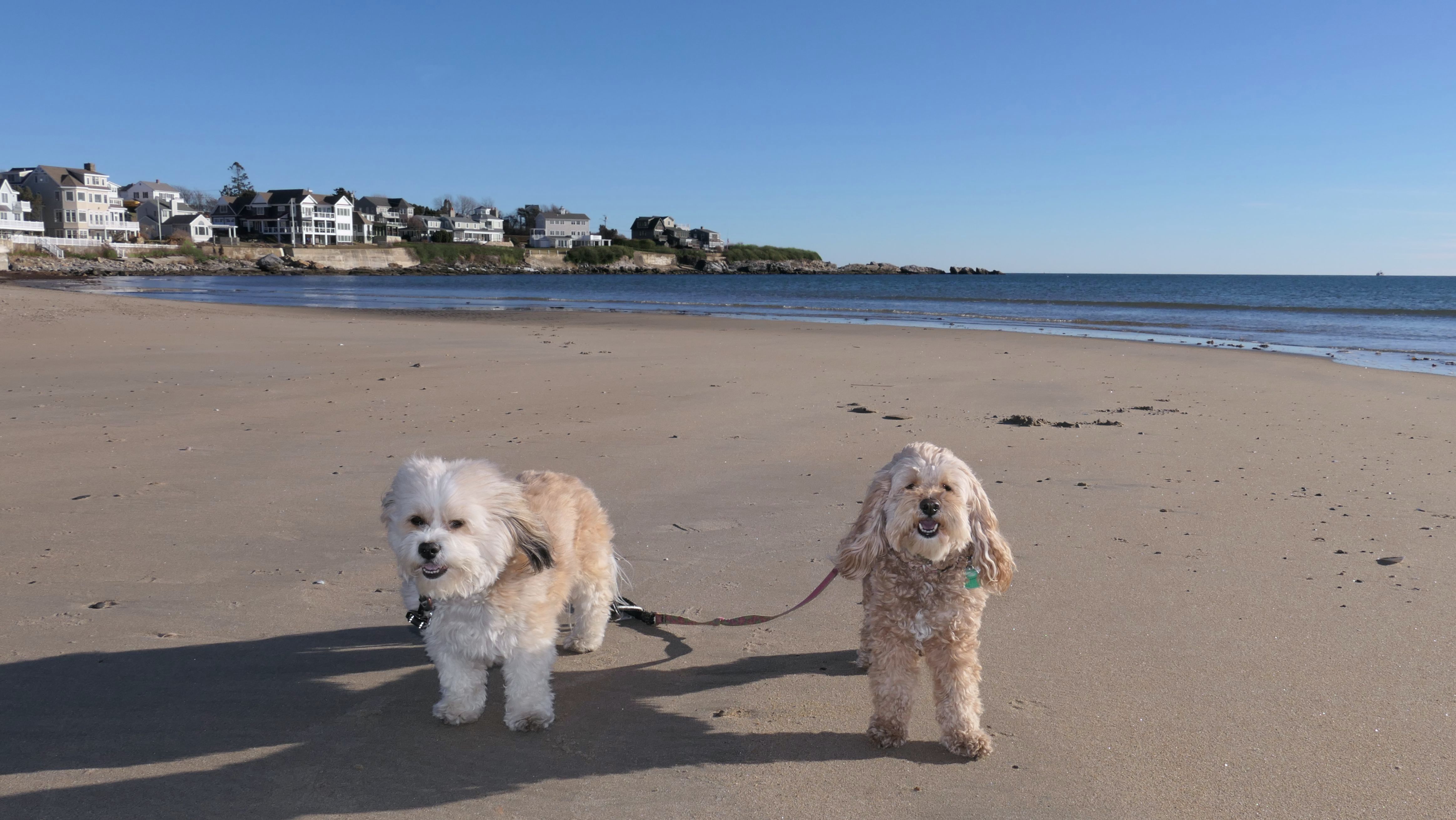
Scarborough North State Beach
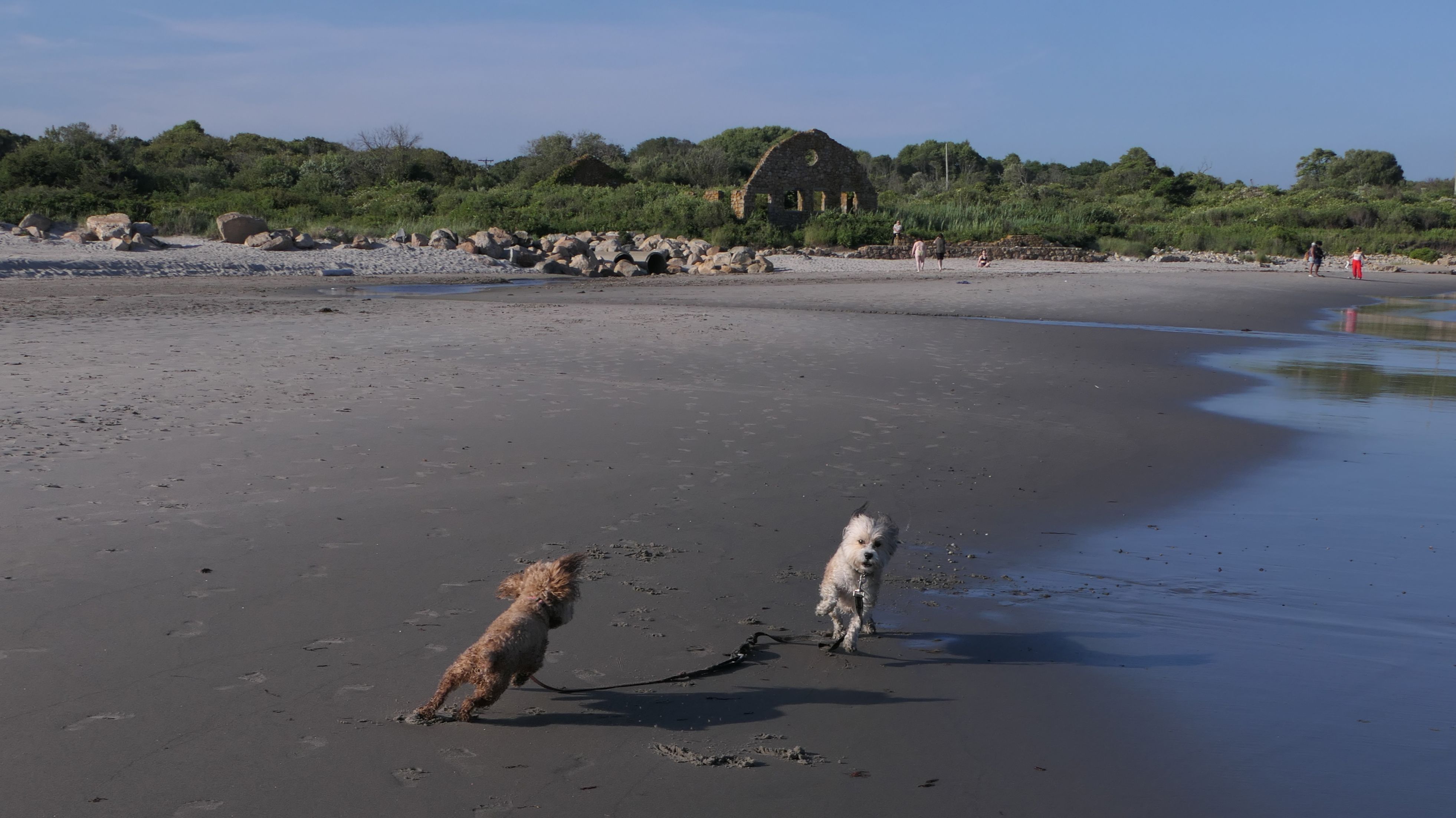
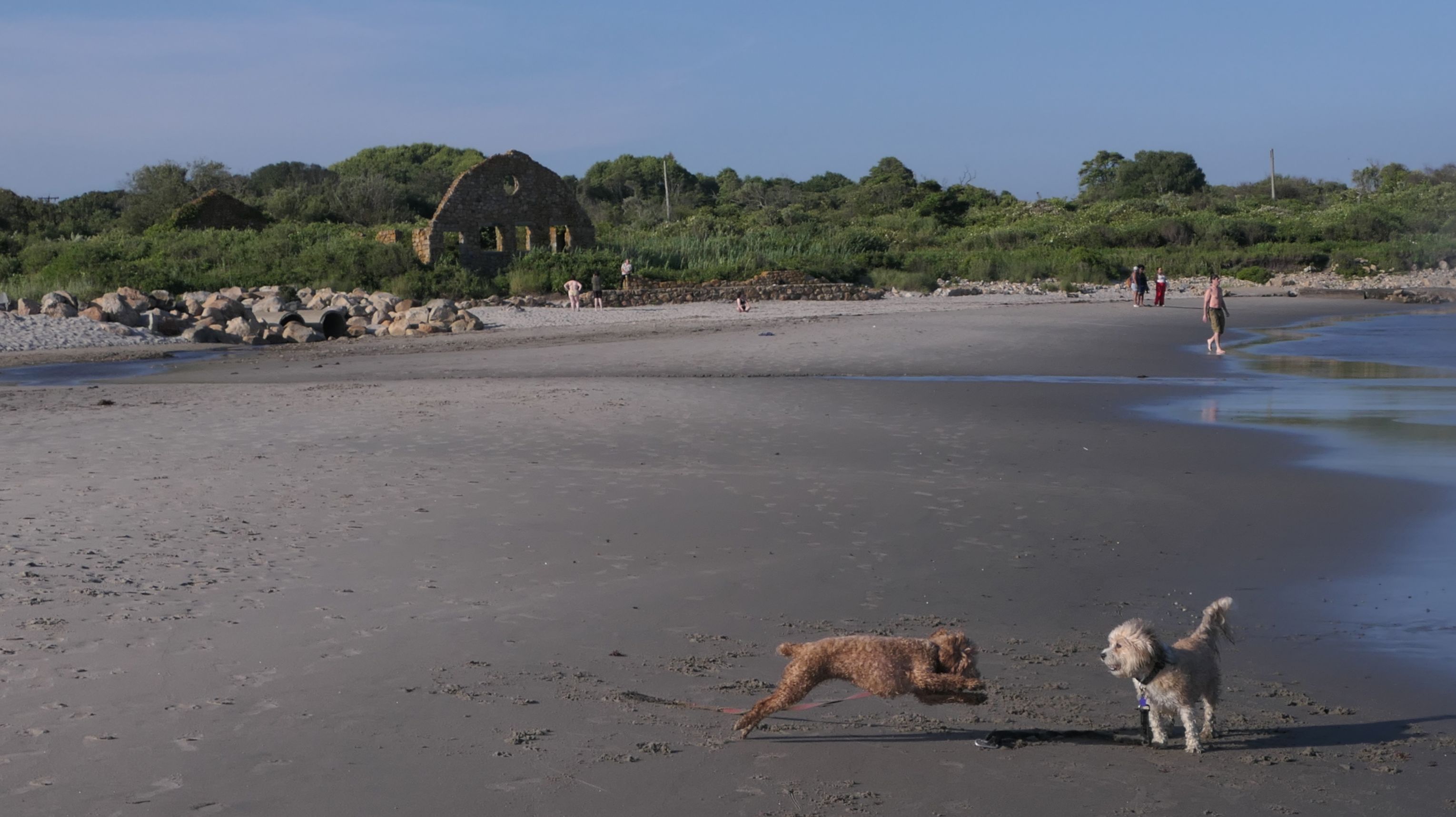
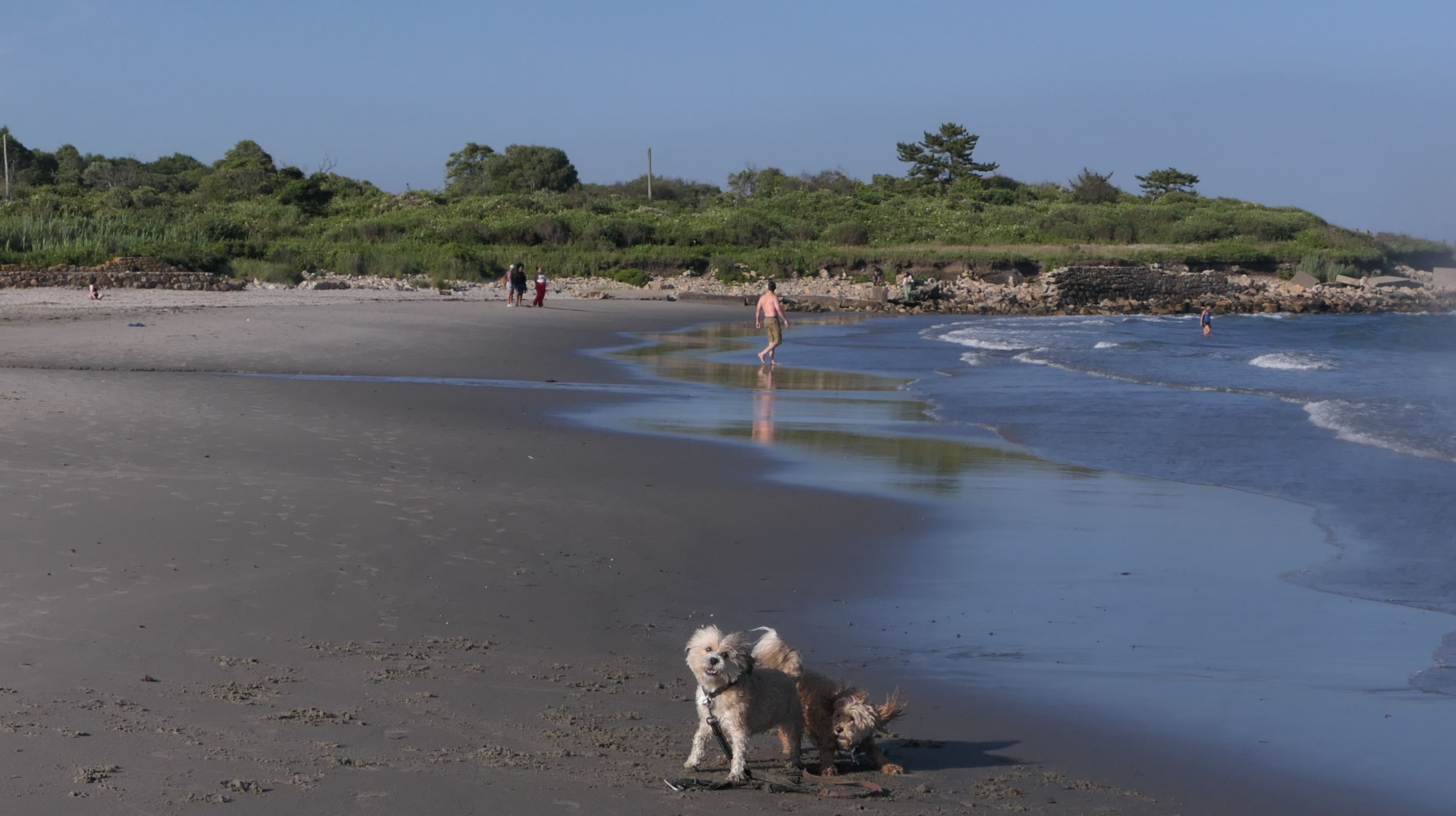
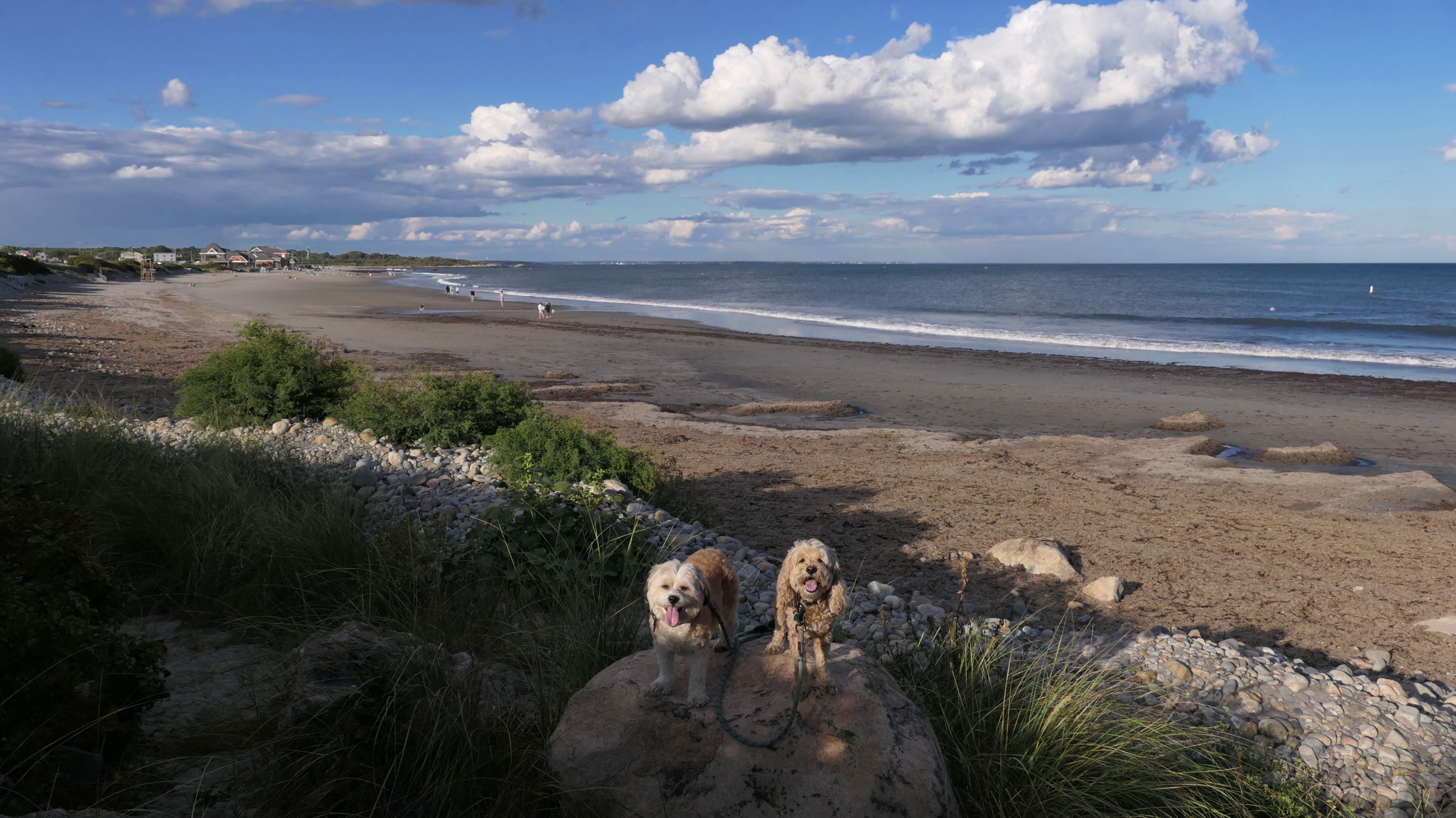
Date visited: 5/30/2022
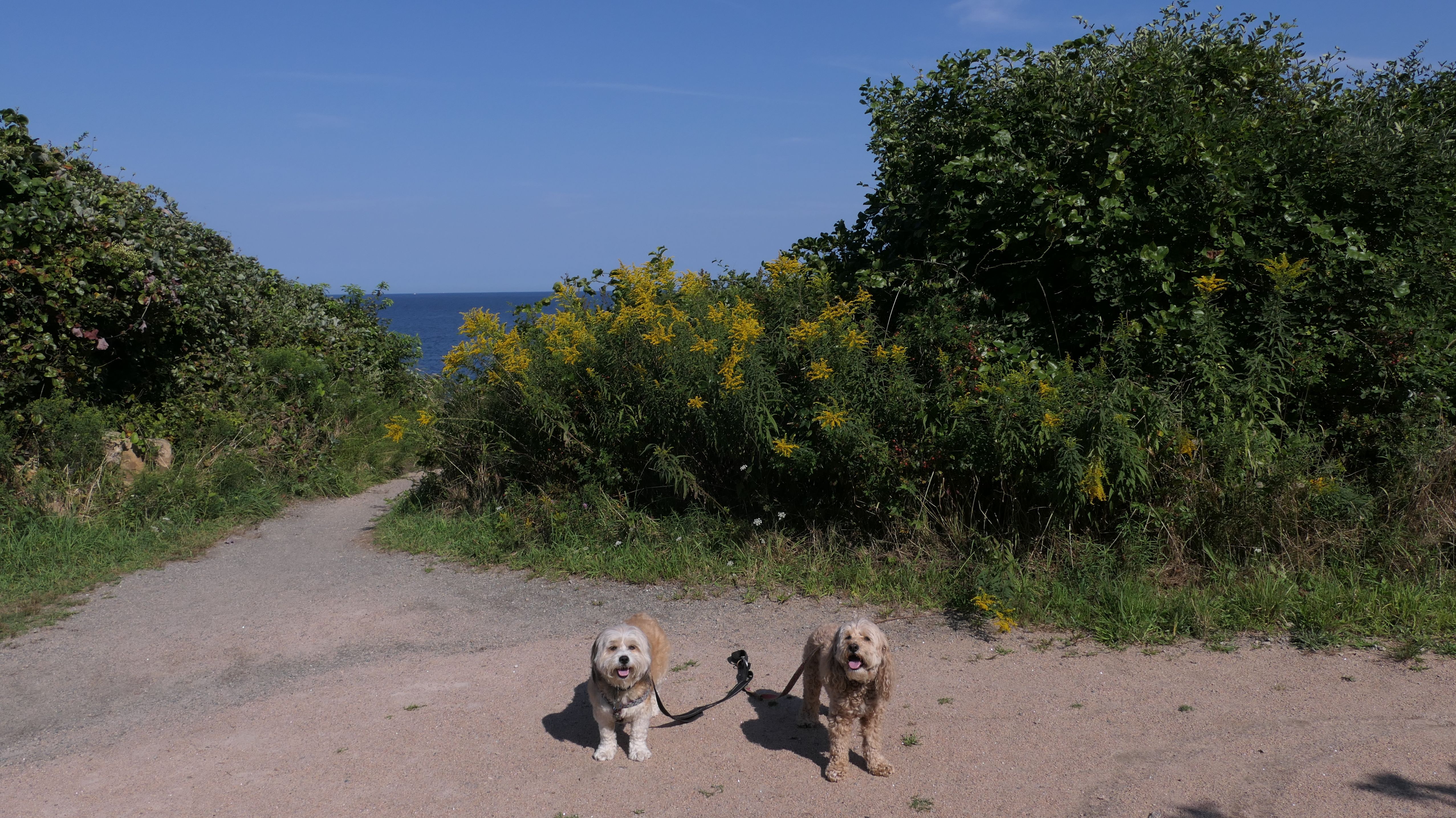
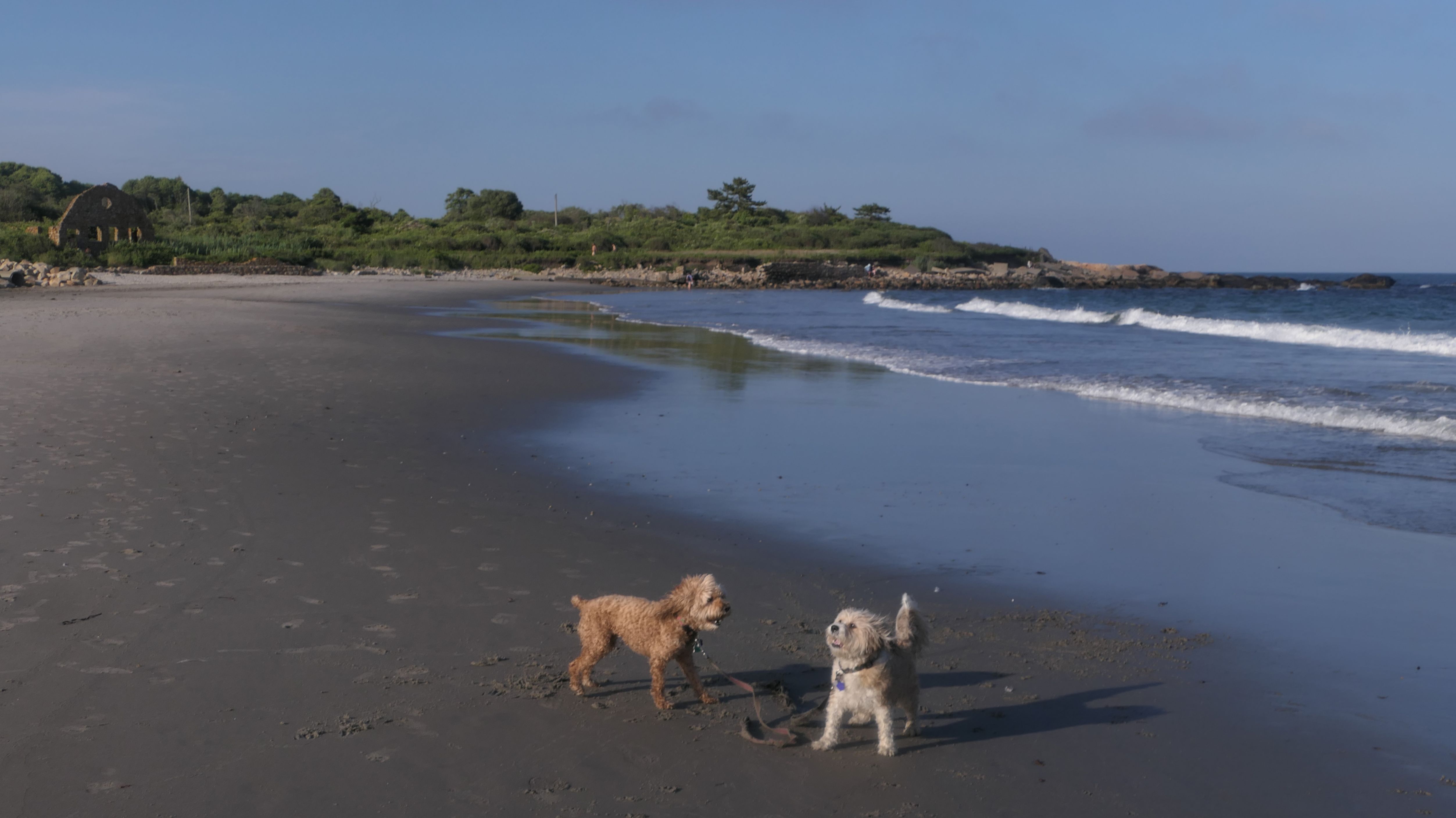
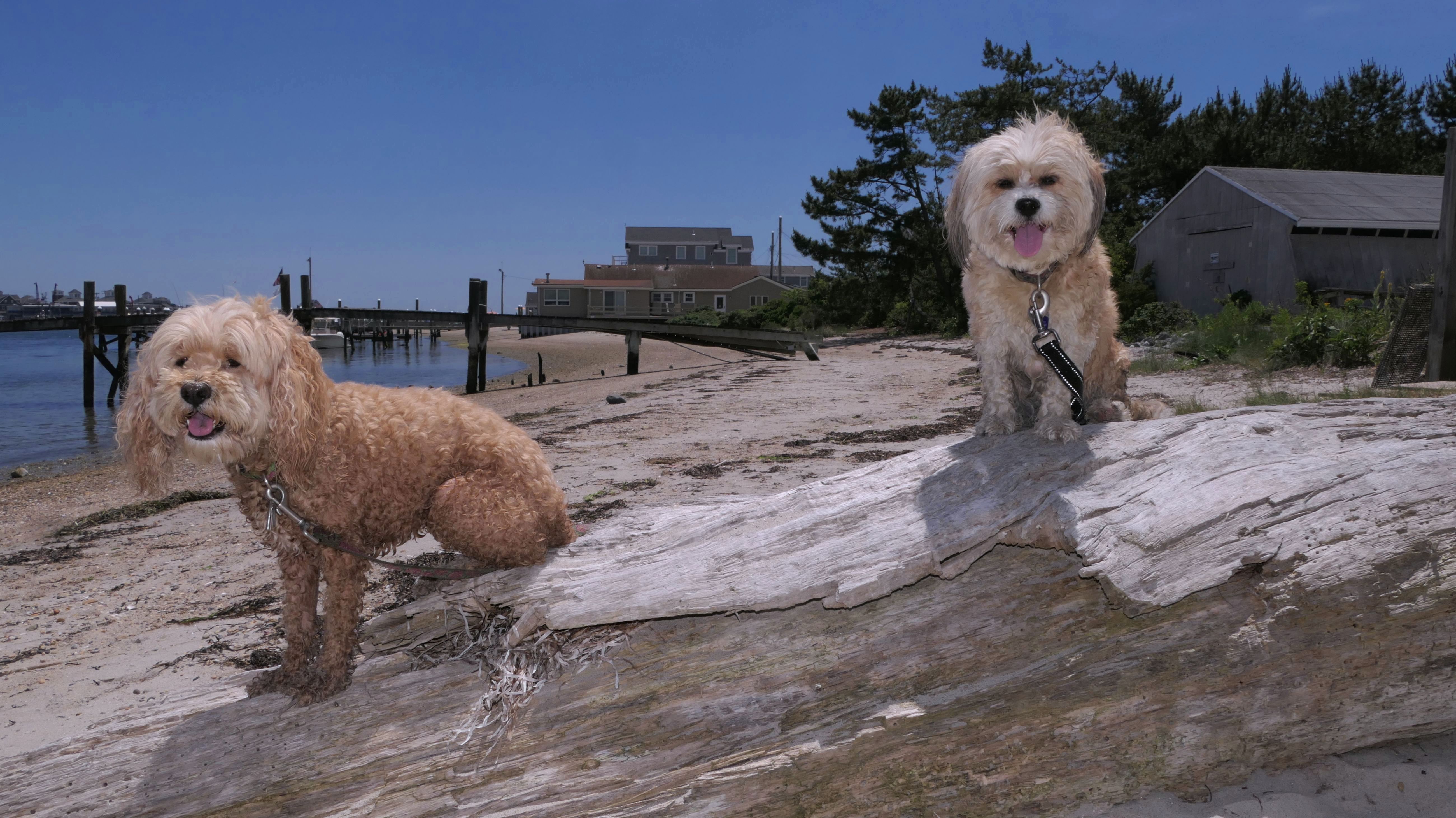
Our first visit here wasn't a planned visit. The awesome trail at Black Point ended at this very popular State Beach. It was Memorial Day and the beach was packed. It looked like there were a few people hiking to the beach from the Black Point trail. The beach parking lots were full, so I guess this was another way to get to the beach. We checked out the part of the beach by the Windswept Ruins. Mandy and Lexi went into the ocean to cool off. A dog named Cam photobombed us as we were posing for pictures. Speaking of dogs, they are not actually allowed at this beach in the summer months. We arrived via the trail and didn't see the sign, until we drove by the beach as we were leaving Black Point.
More Images
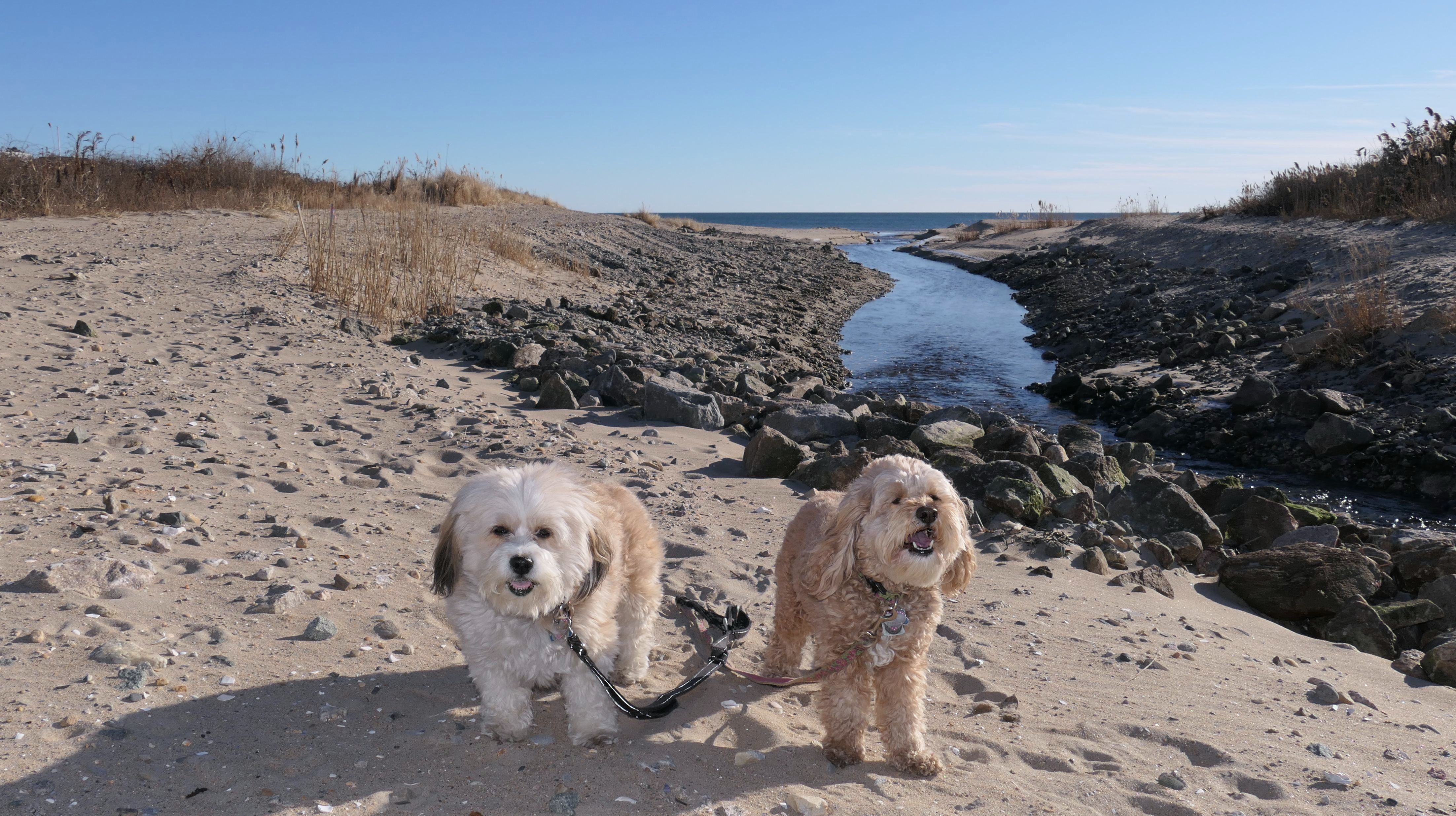
Scarborough North State Beach
Date visited: 3/26/2023
We returned to this beach in the off-season when dogs are actually allowed. We were at Scarborough South State Beach, and the two beaches are connected. We walked the length of both beaches this time, as last time we only covered the extreme north end of the beach.
More Images
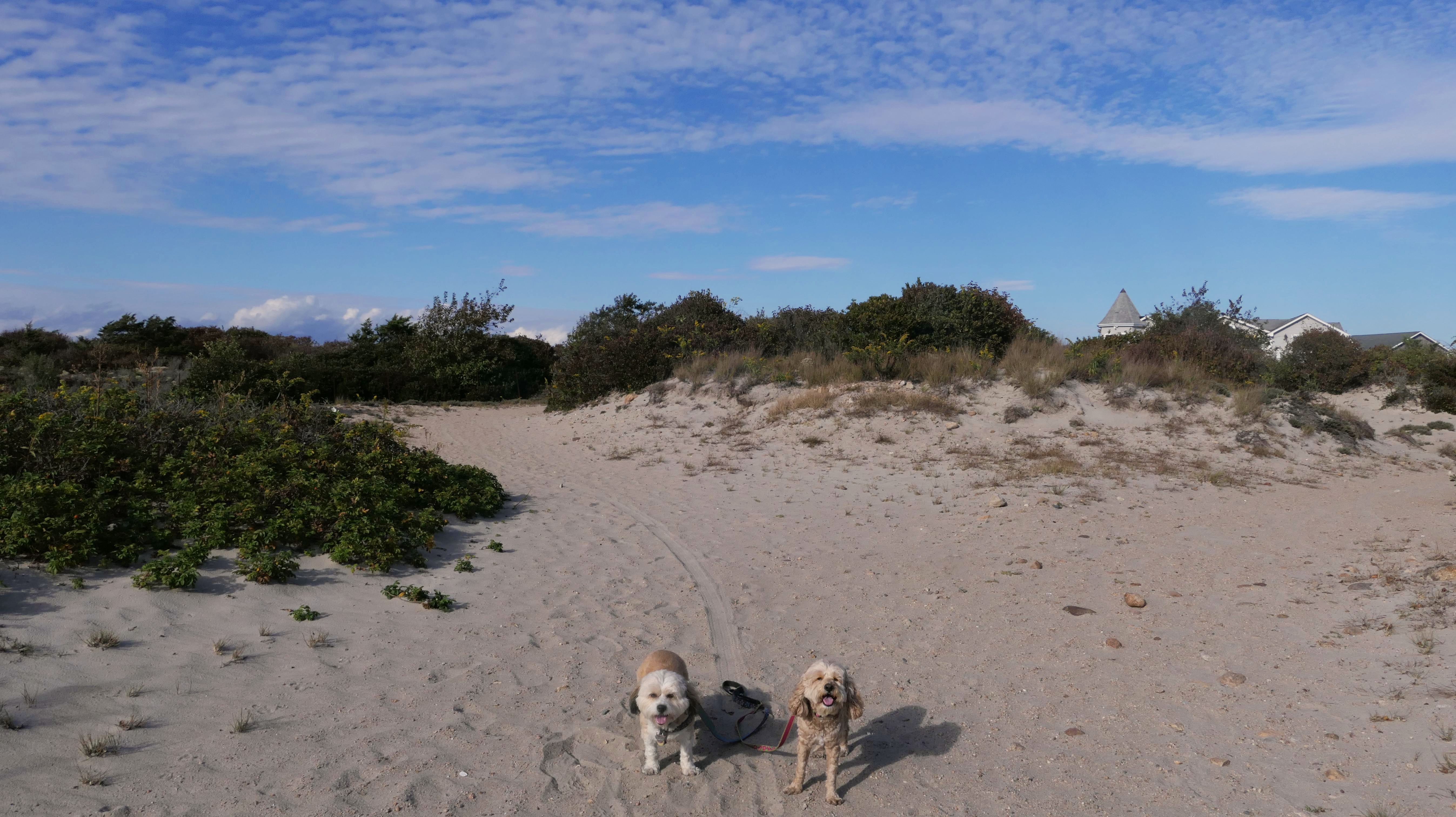
Scarborough North State Beach
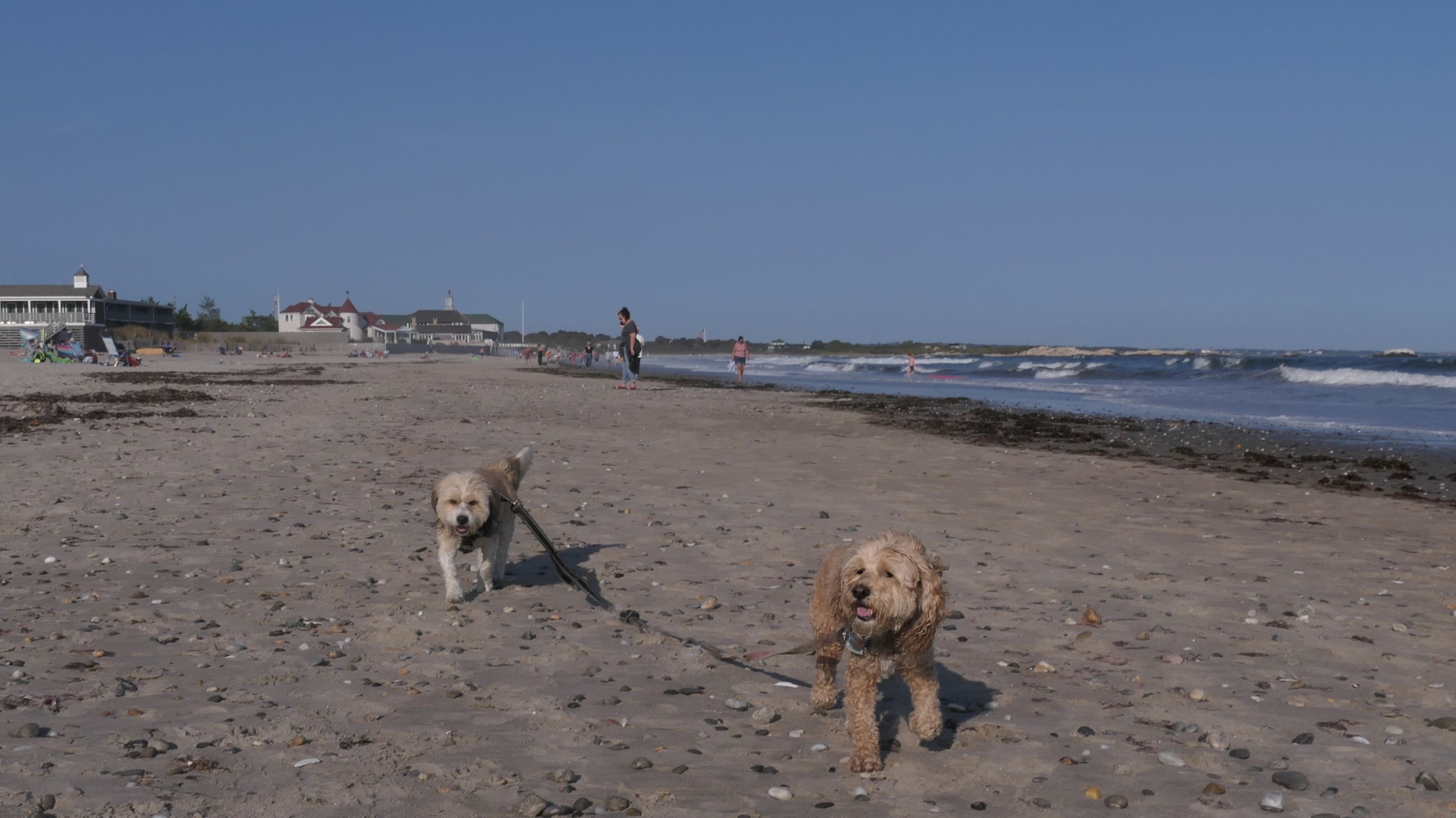
Date visited: 8/27/2024
We once again visited the extreme north end of this beach after hiking the Black Point trail.
More Images
Scarborough North State Beach
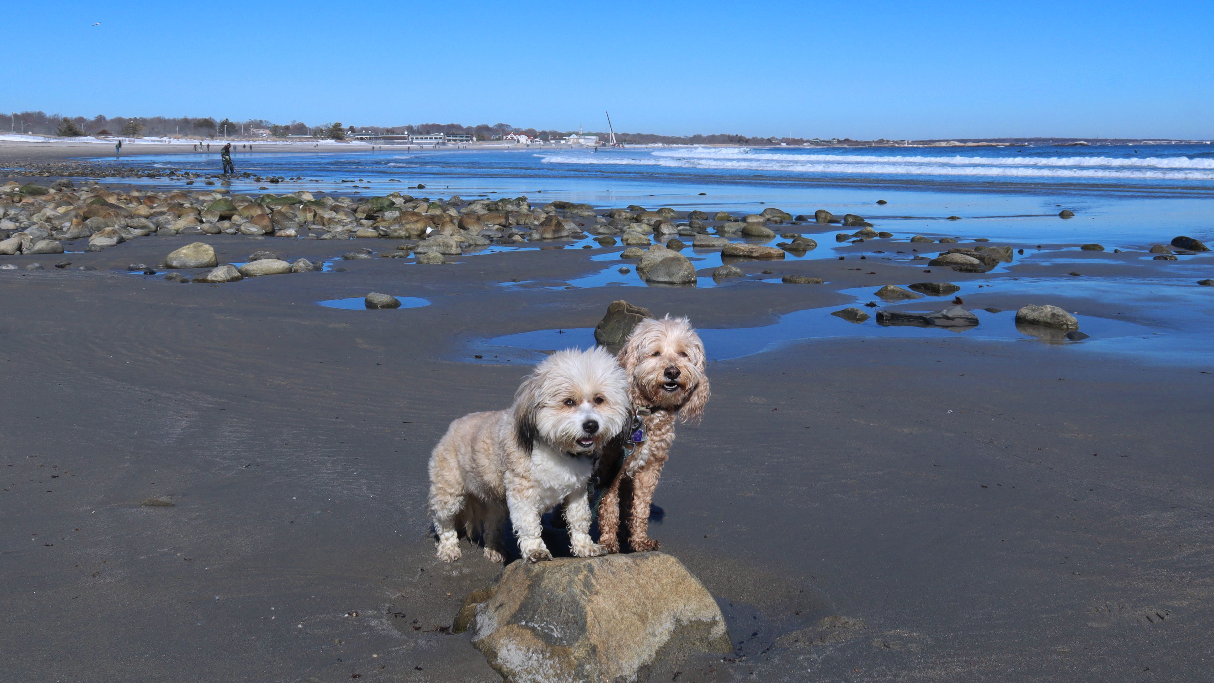
Date visited: 2/5/2025
After visiting Fishermen's Memorial State Park & Campground, we came here to get some additional steps. We walked most of the beach, up to the Windswept ruins and back, two miles total.
More Images
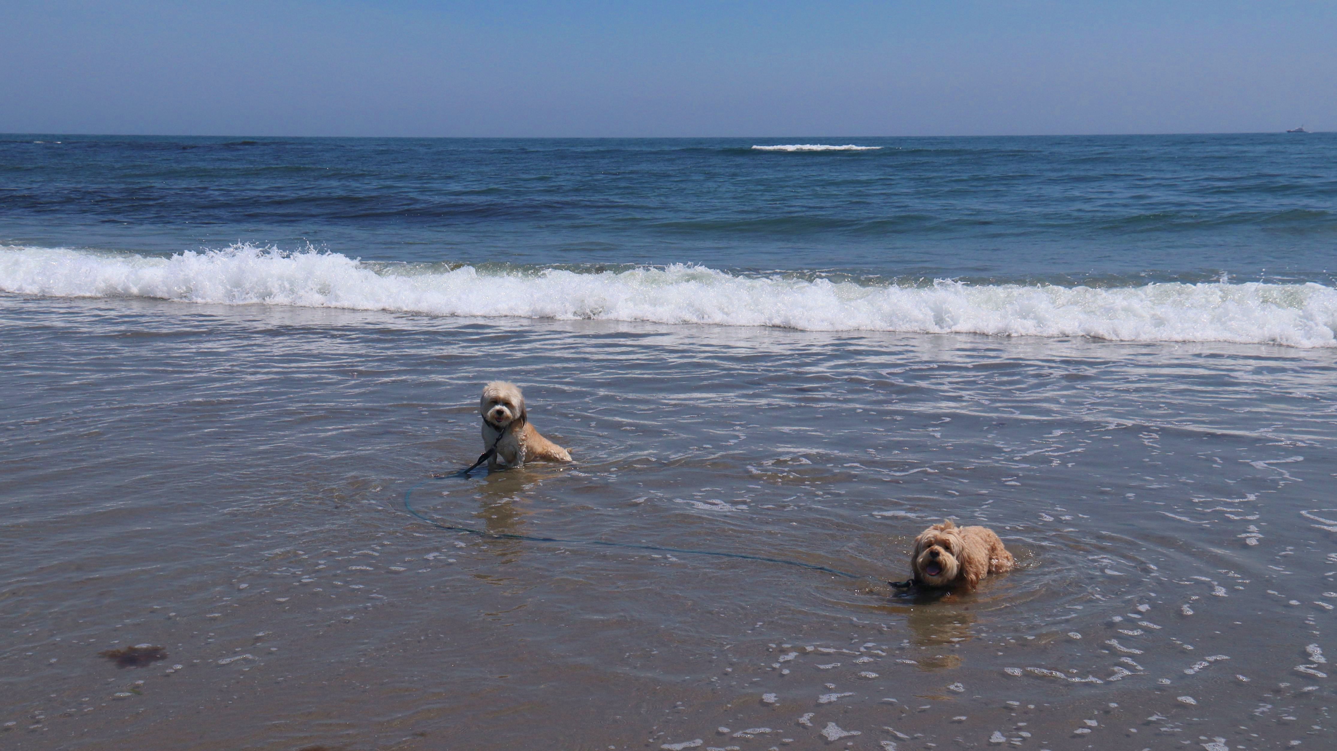
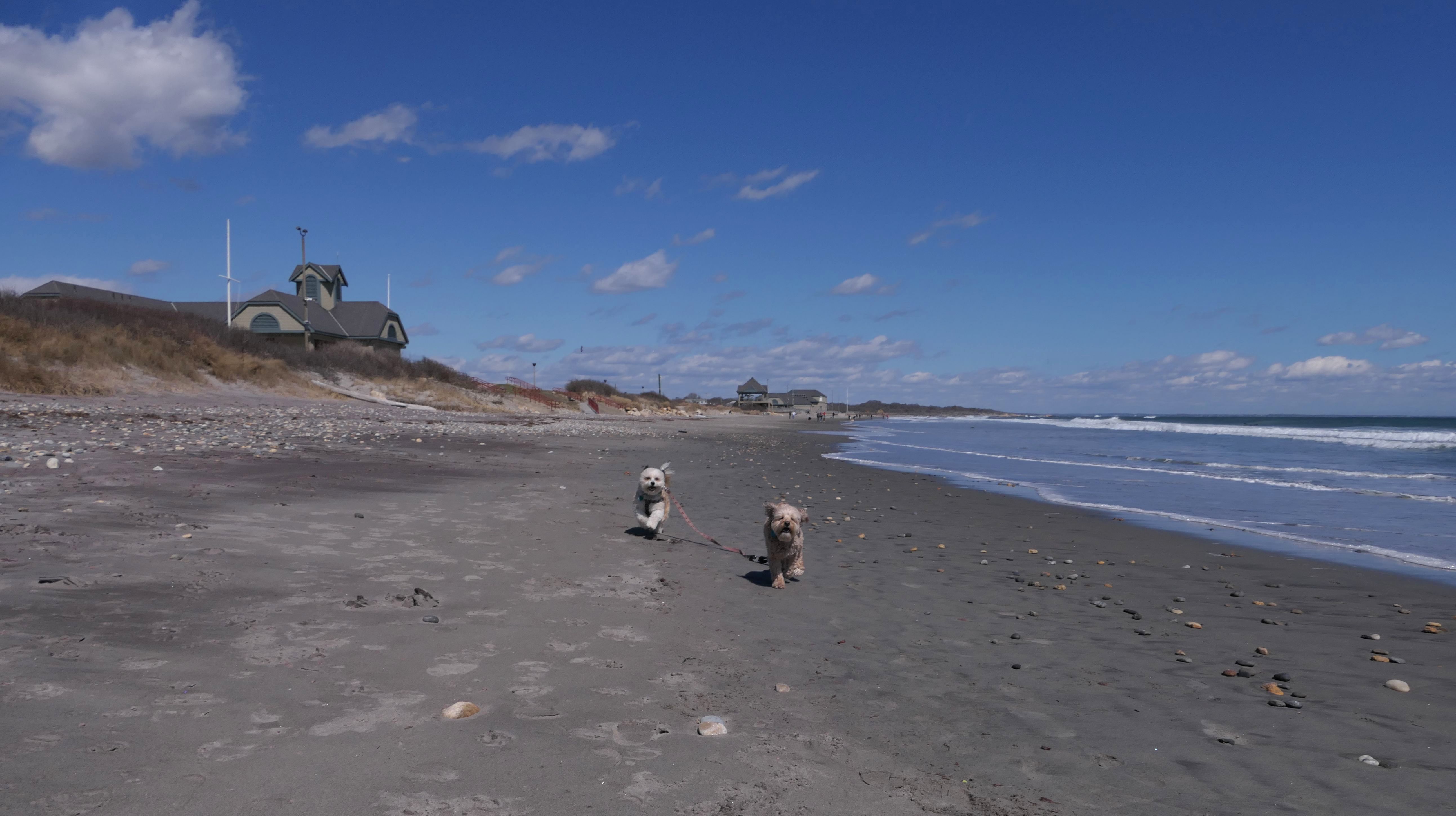
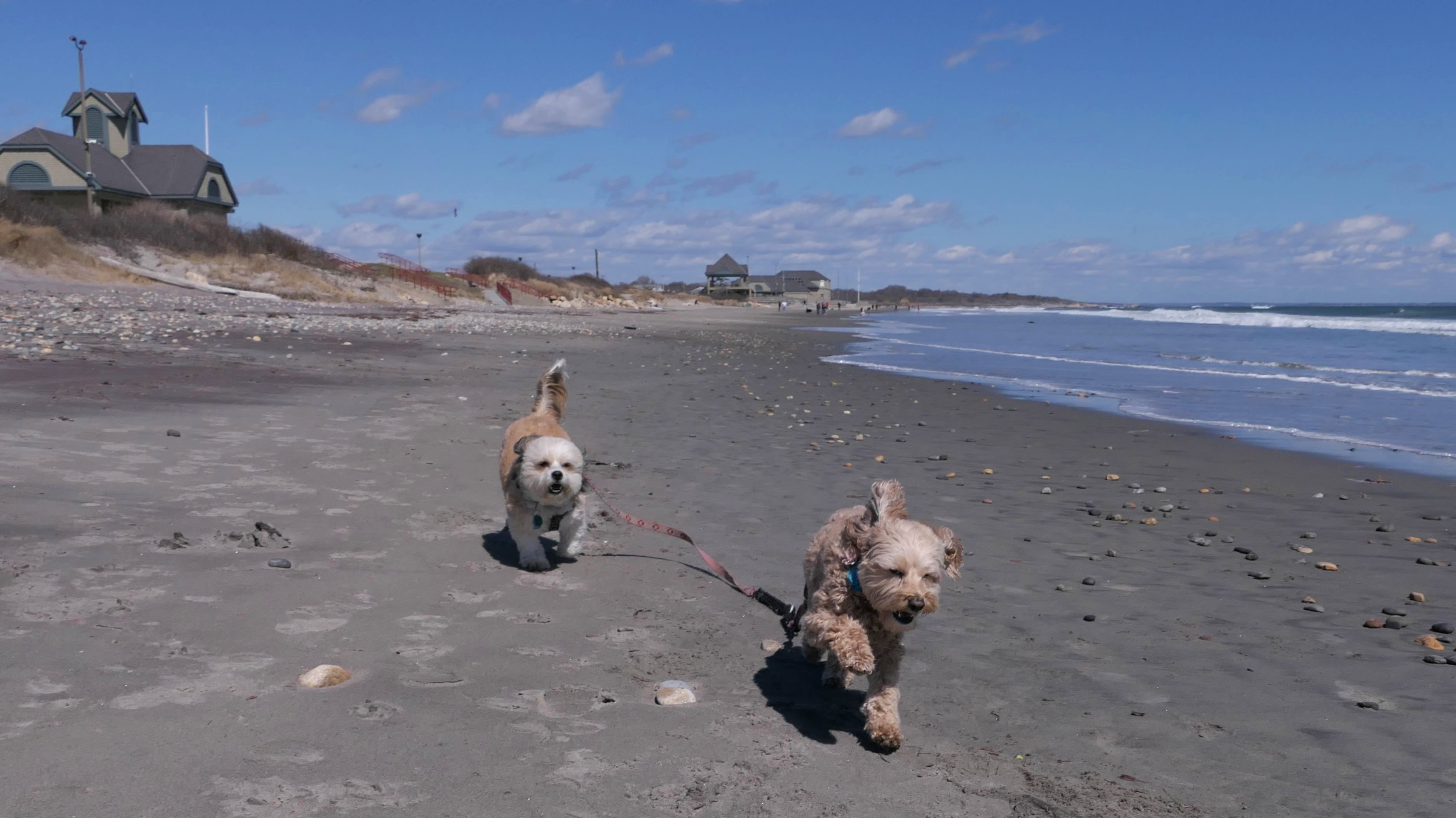
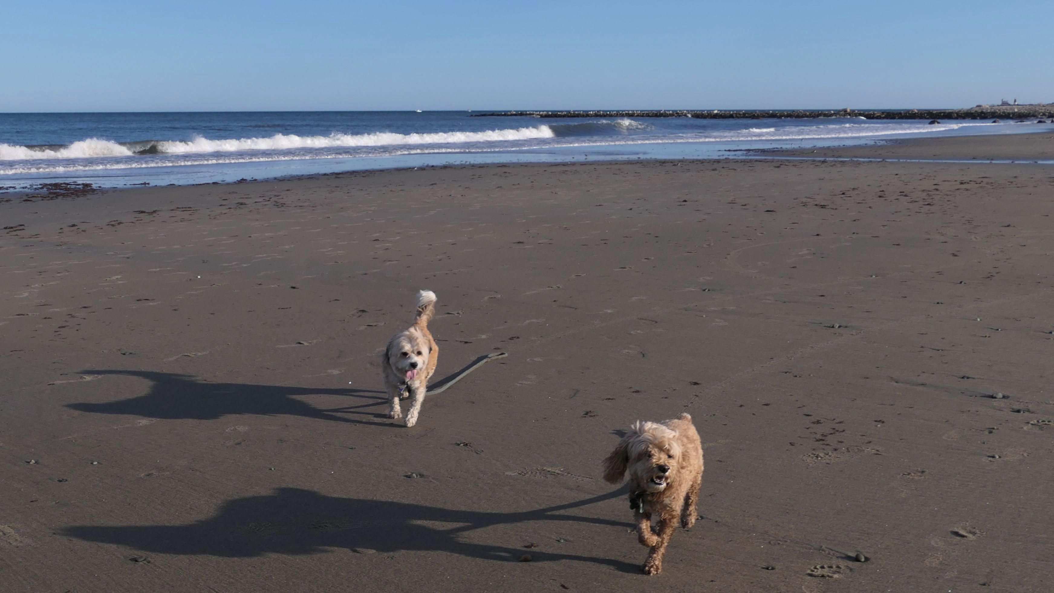
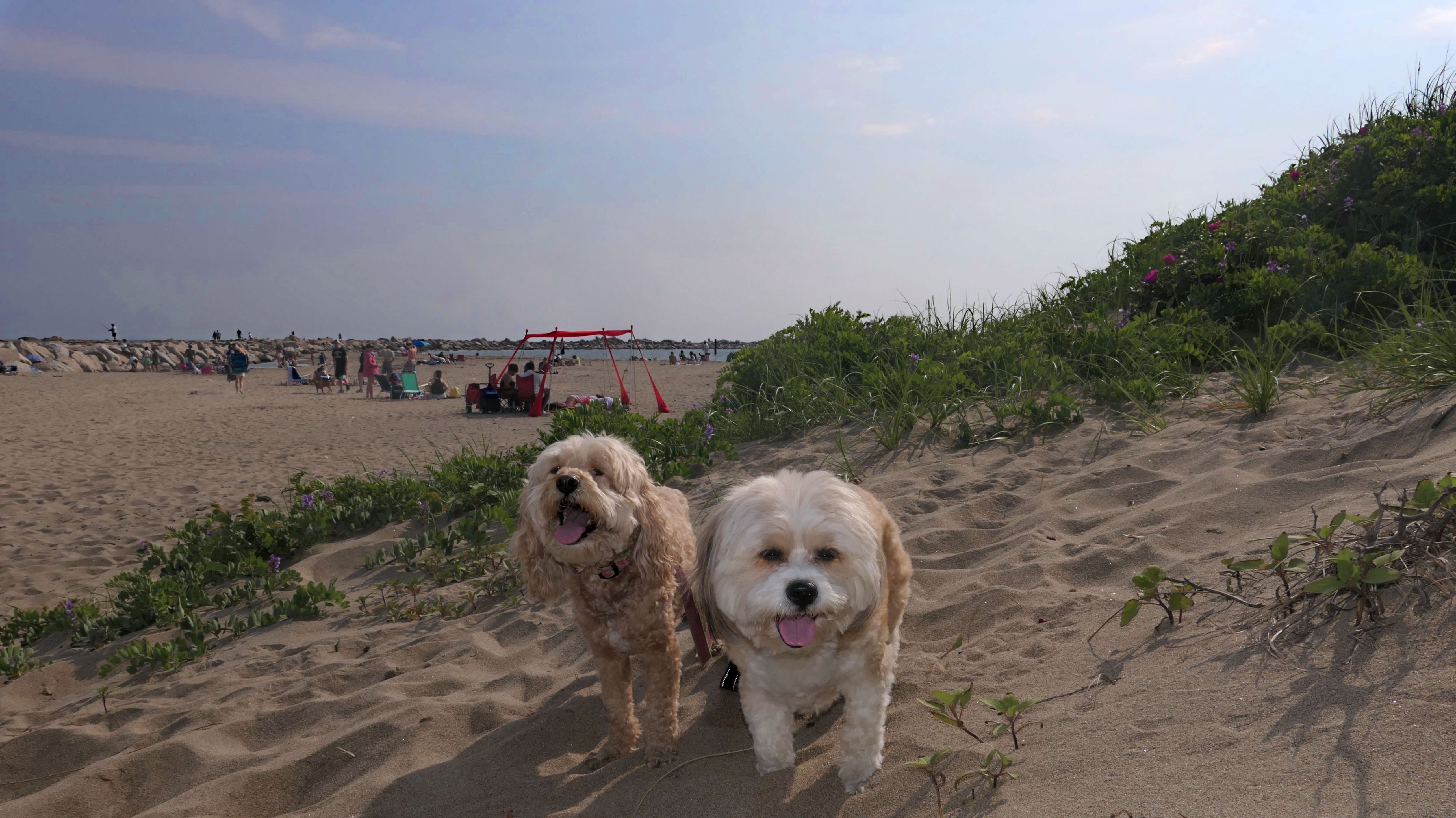
Scarborough North State Beach
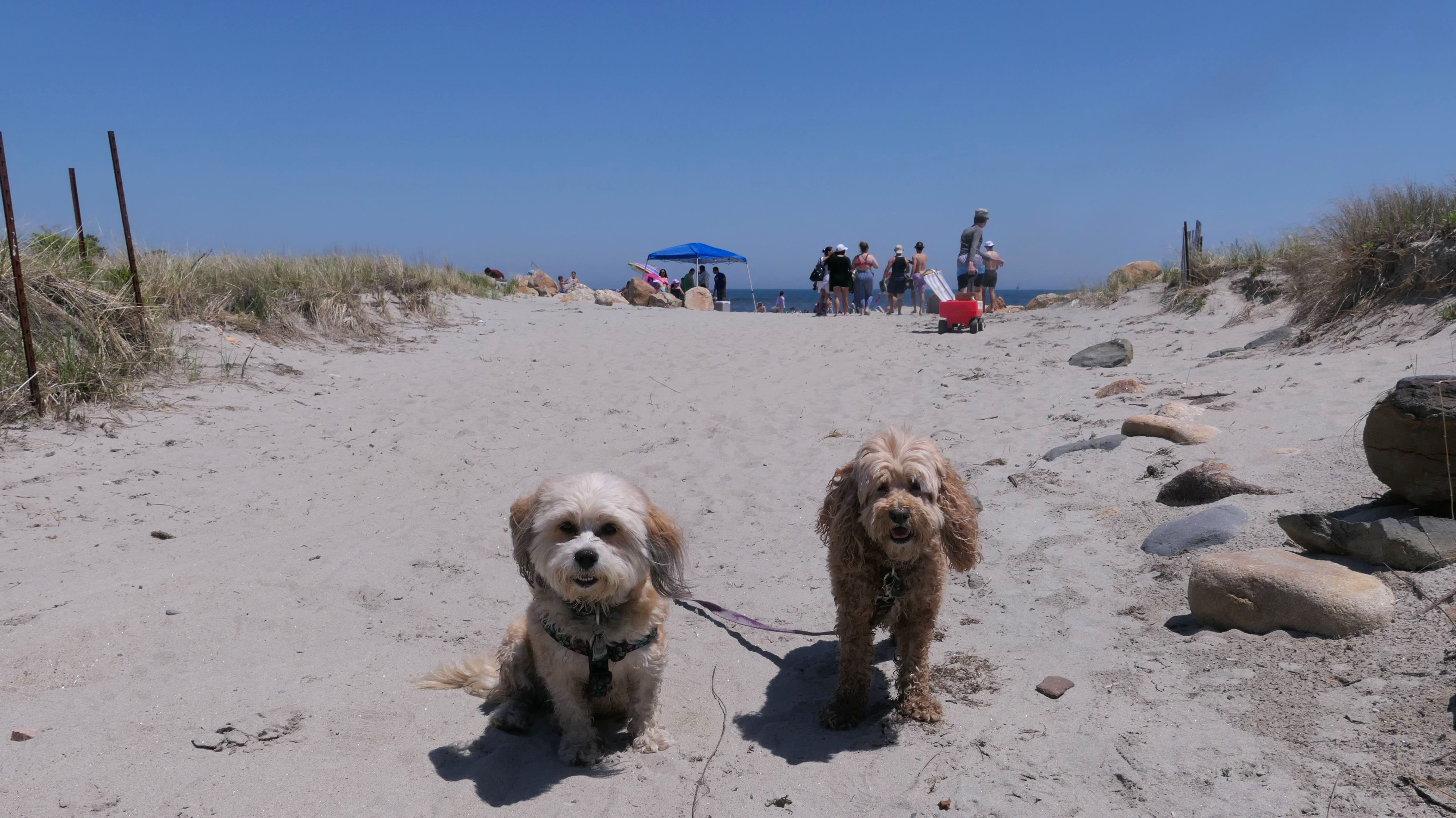
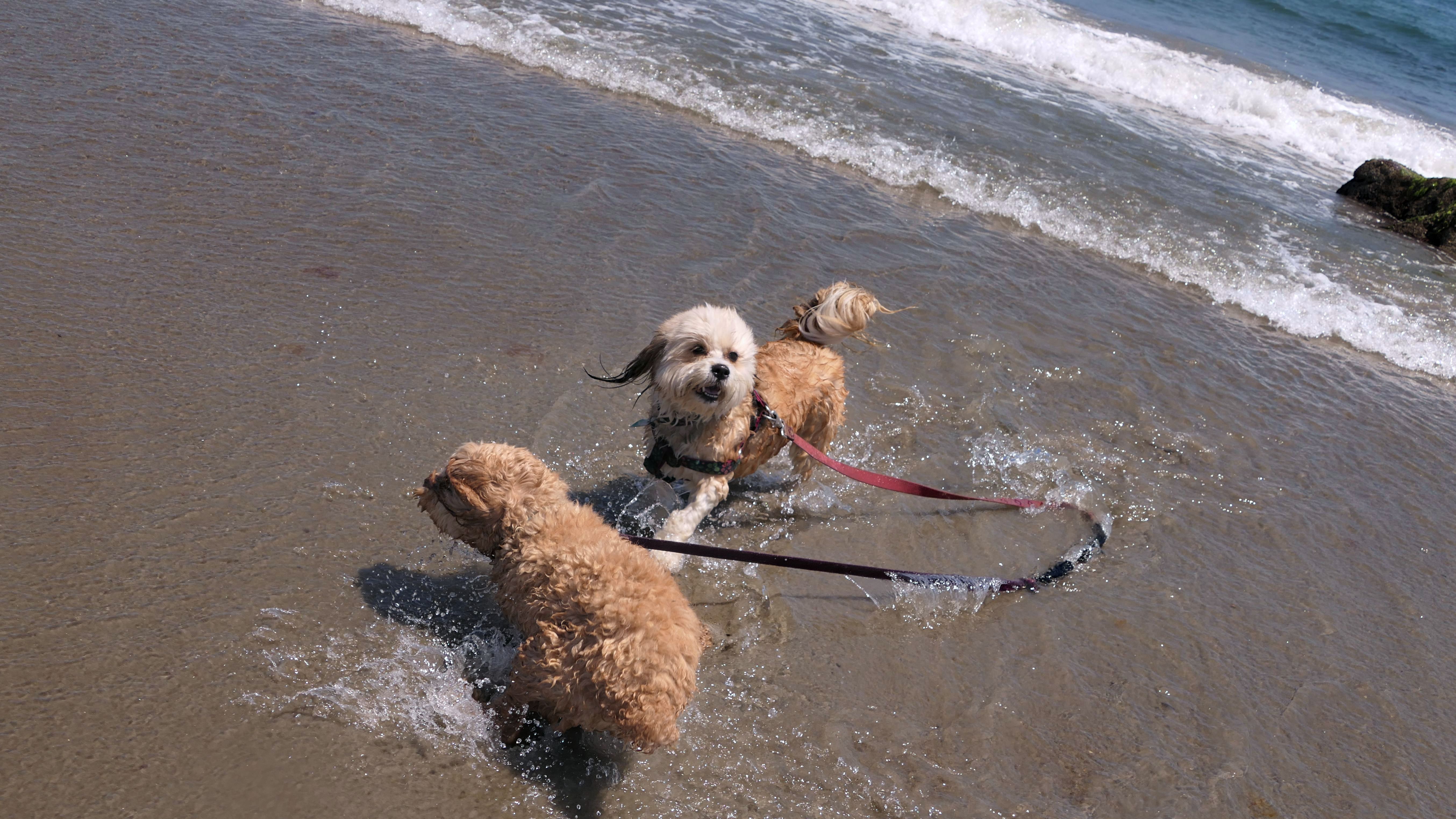
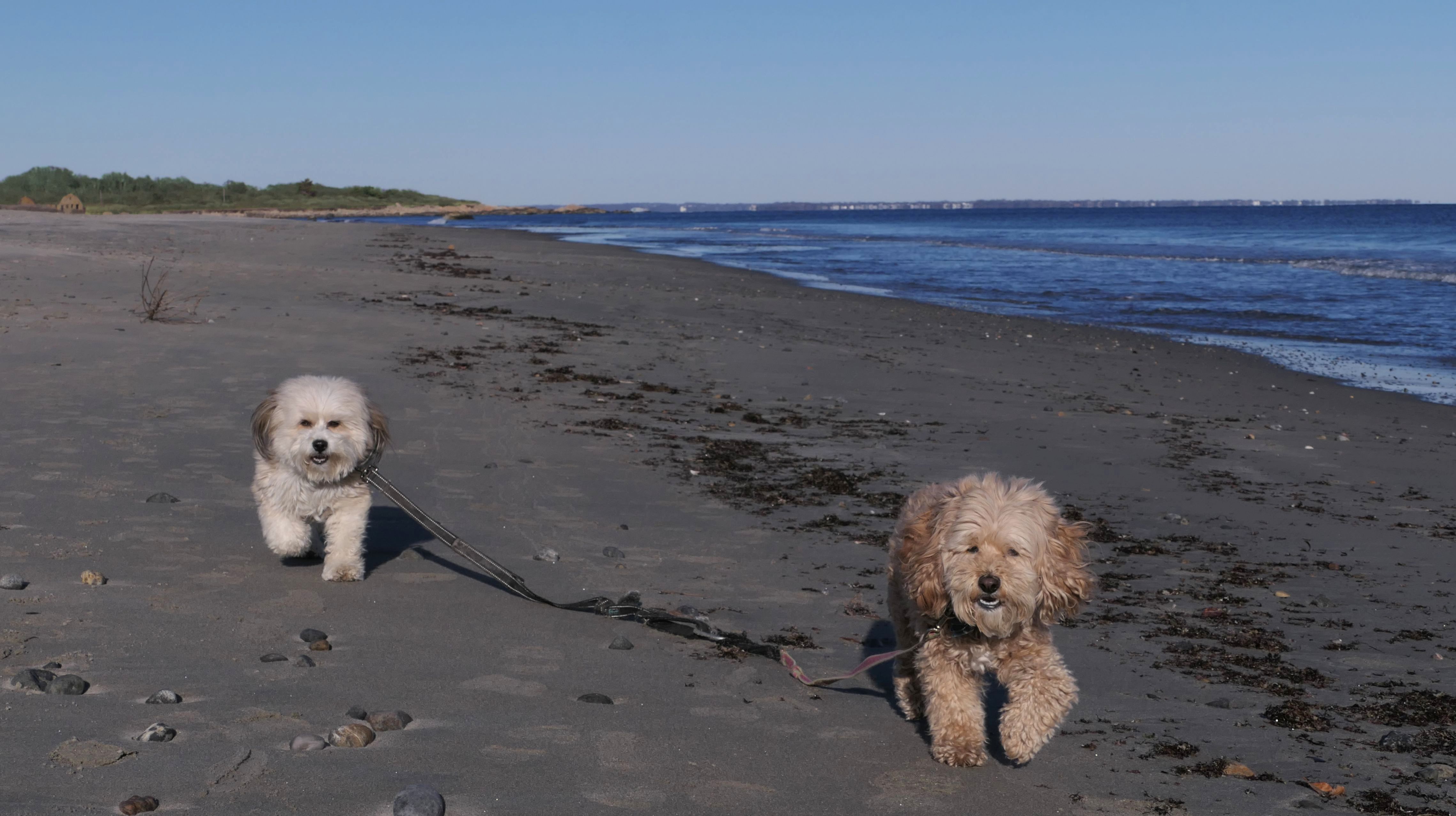
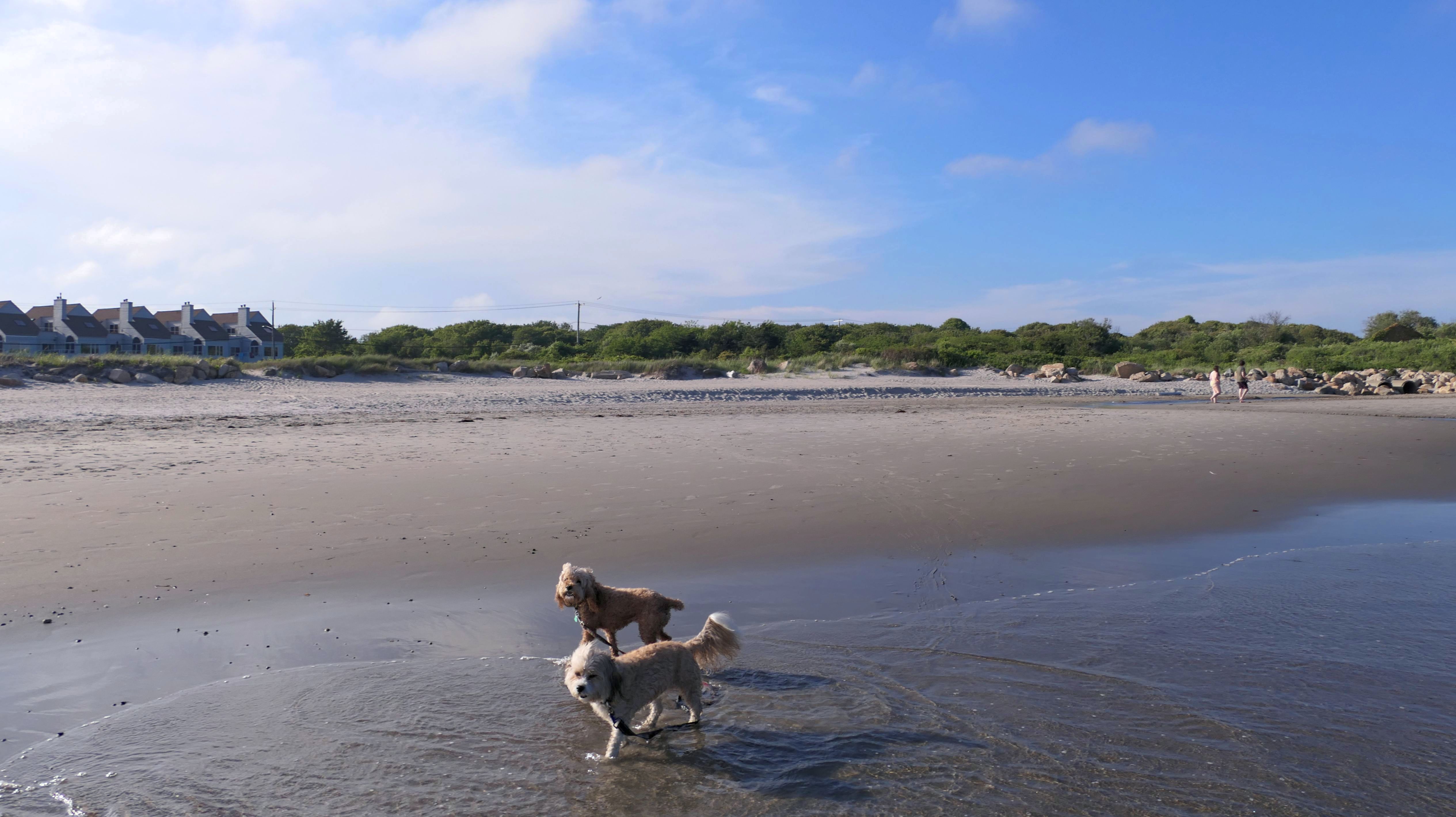
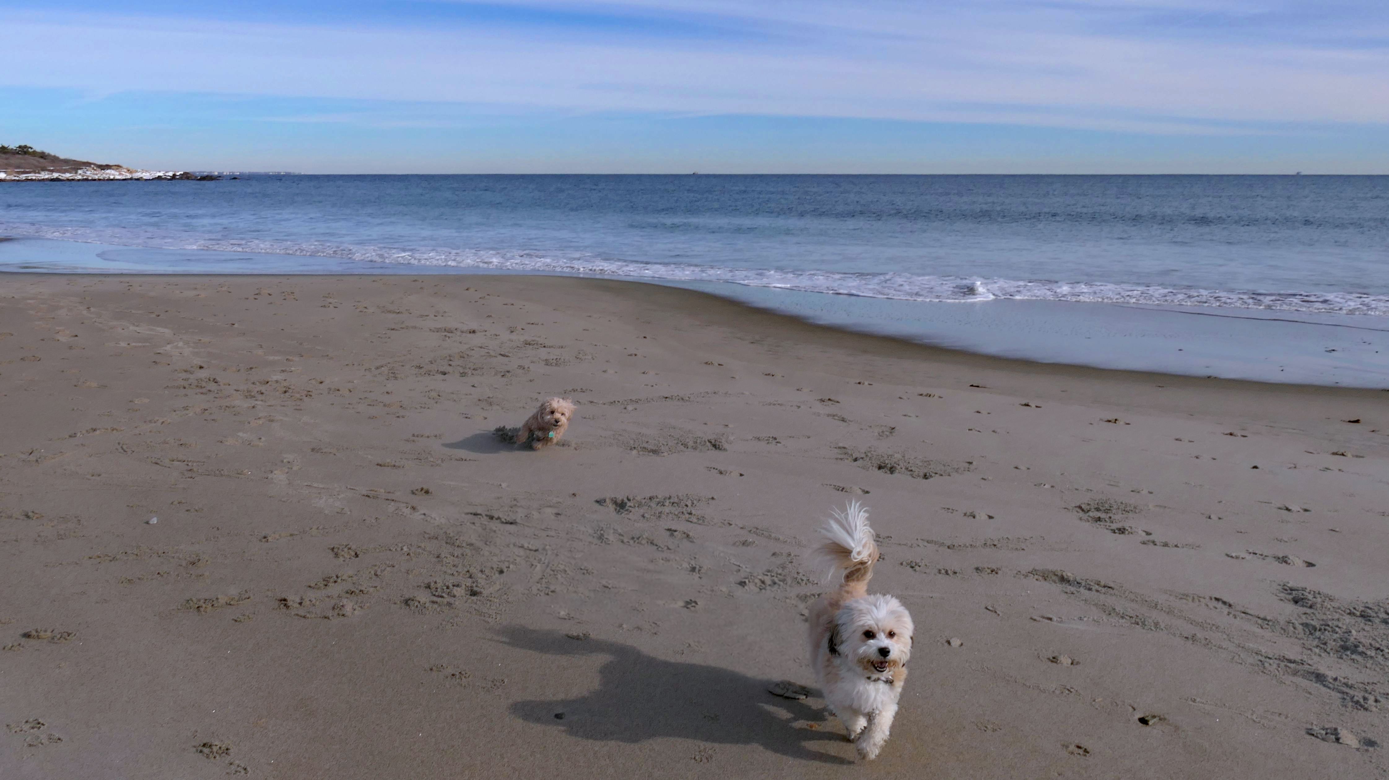
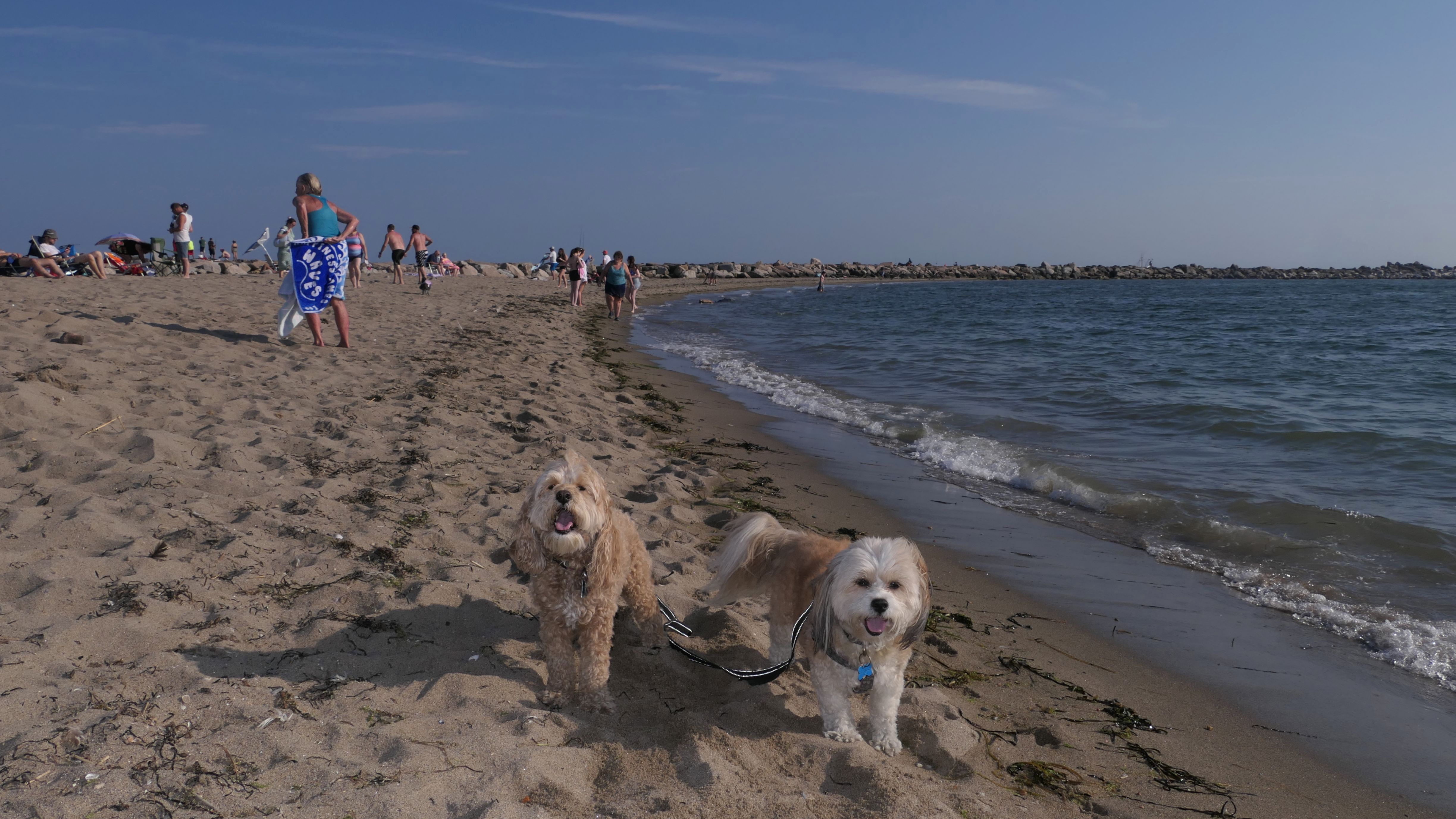
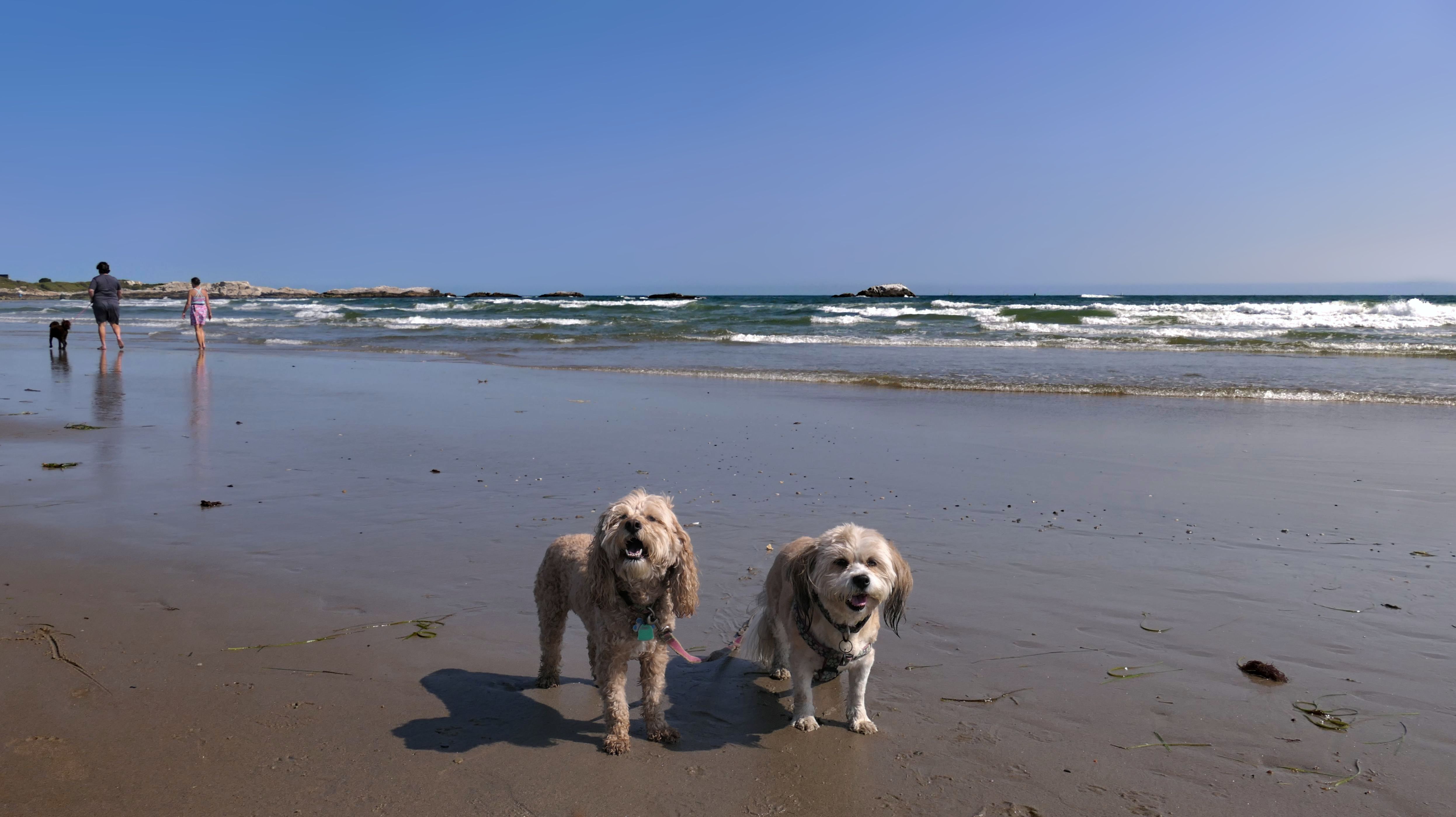
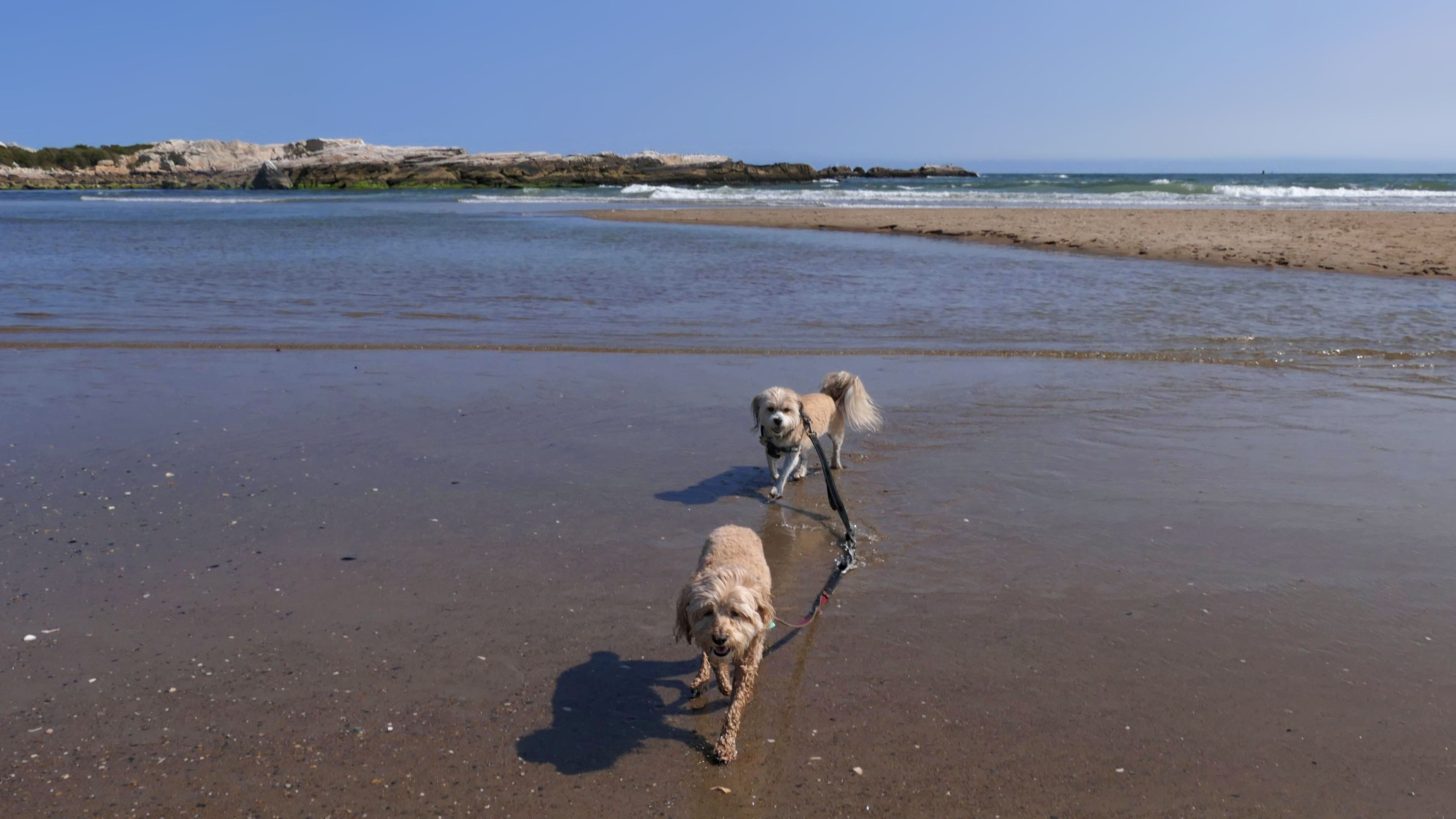
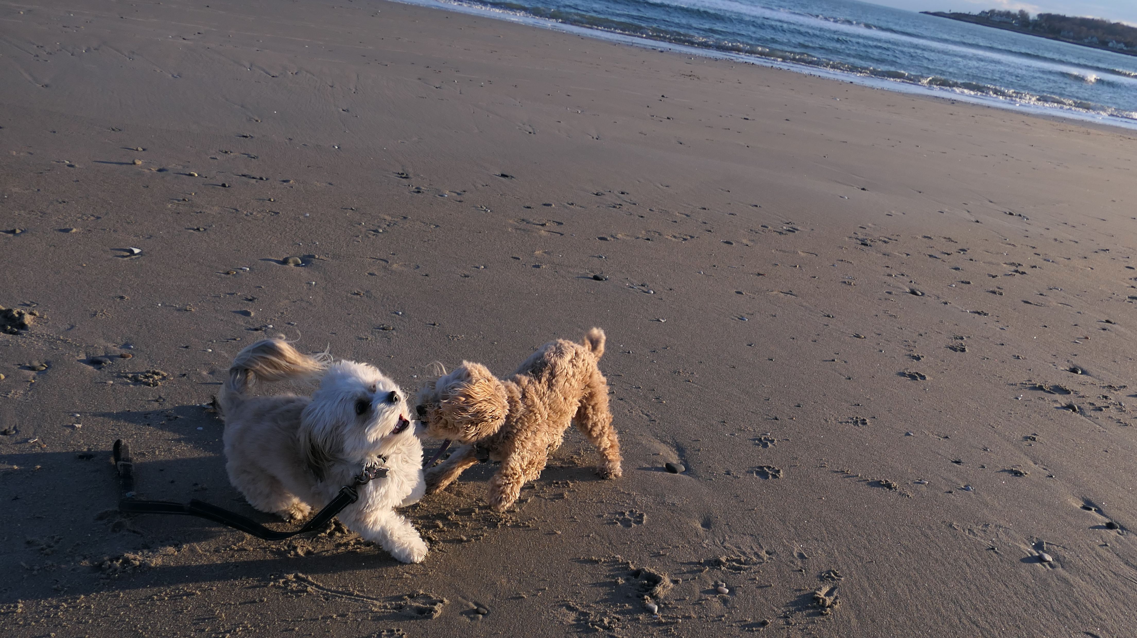
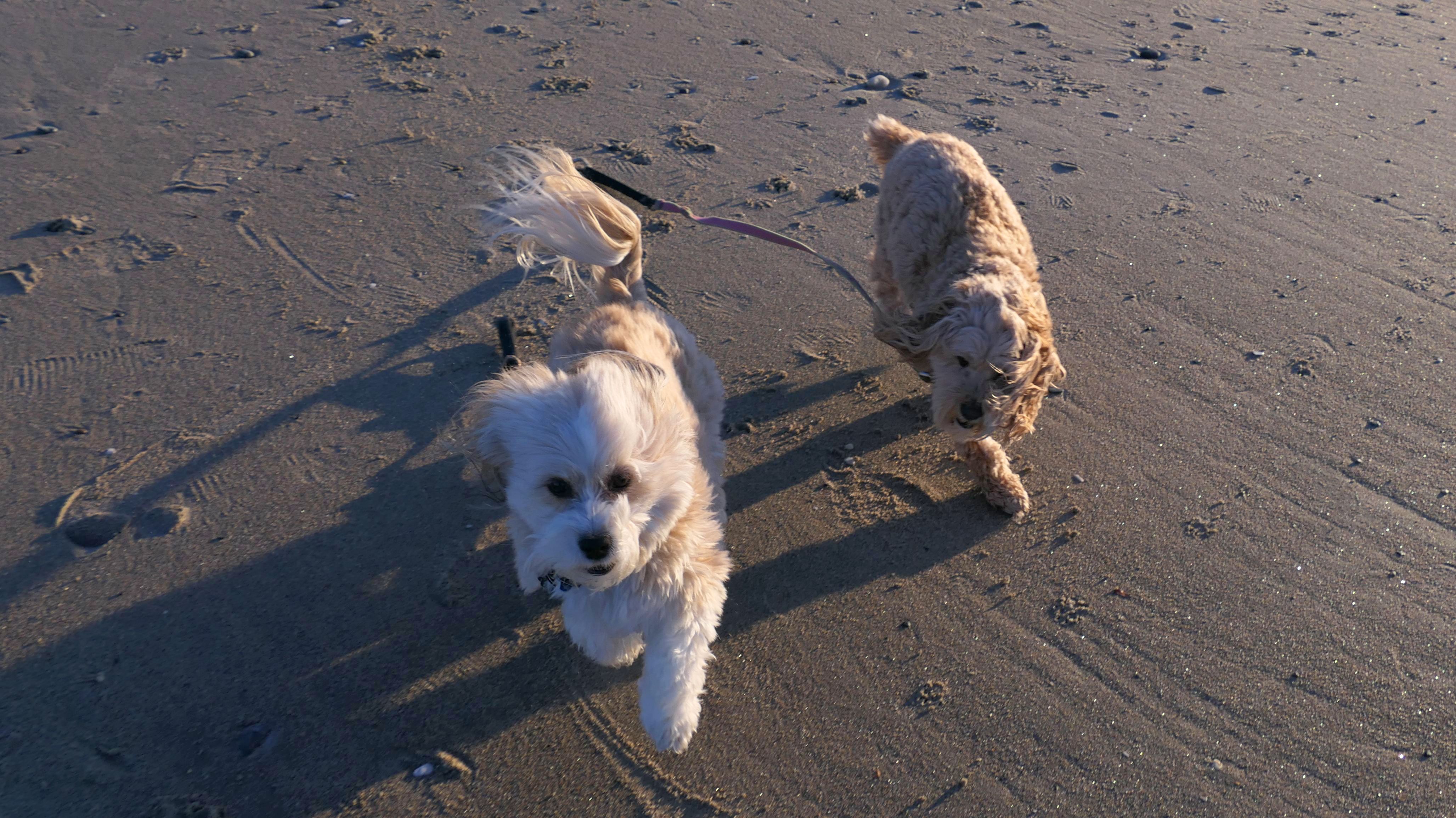
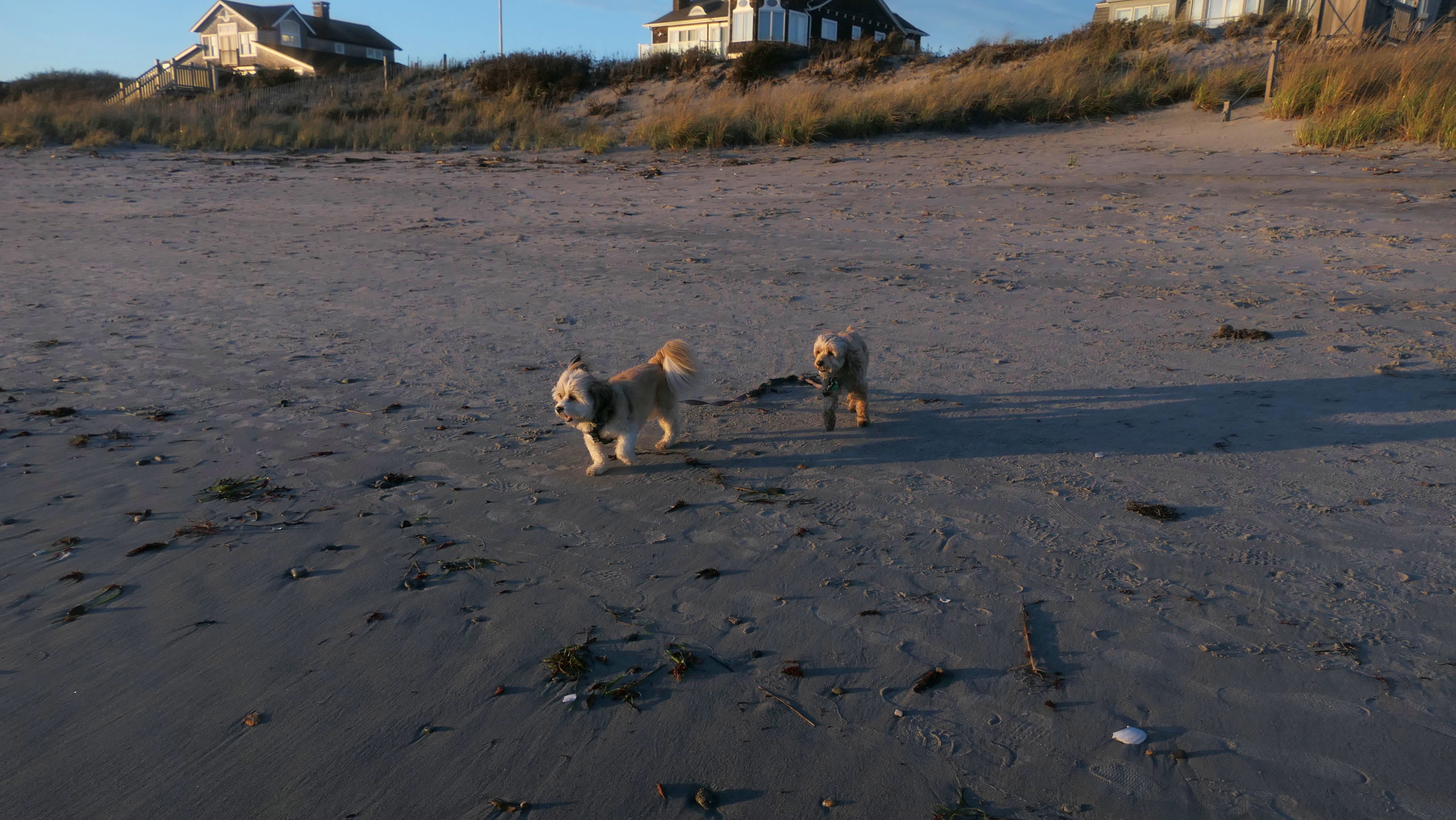
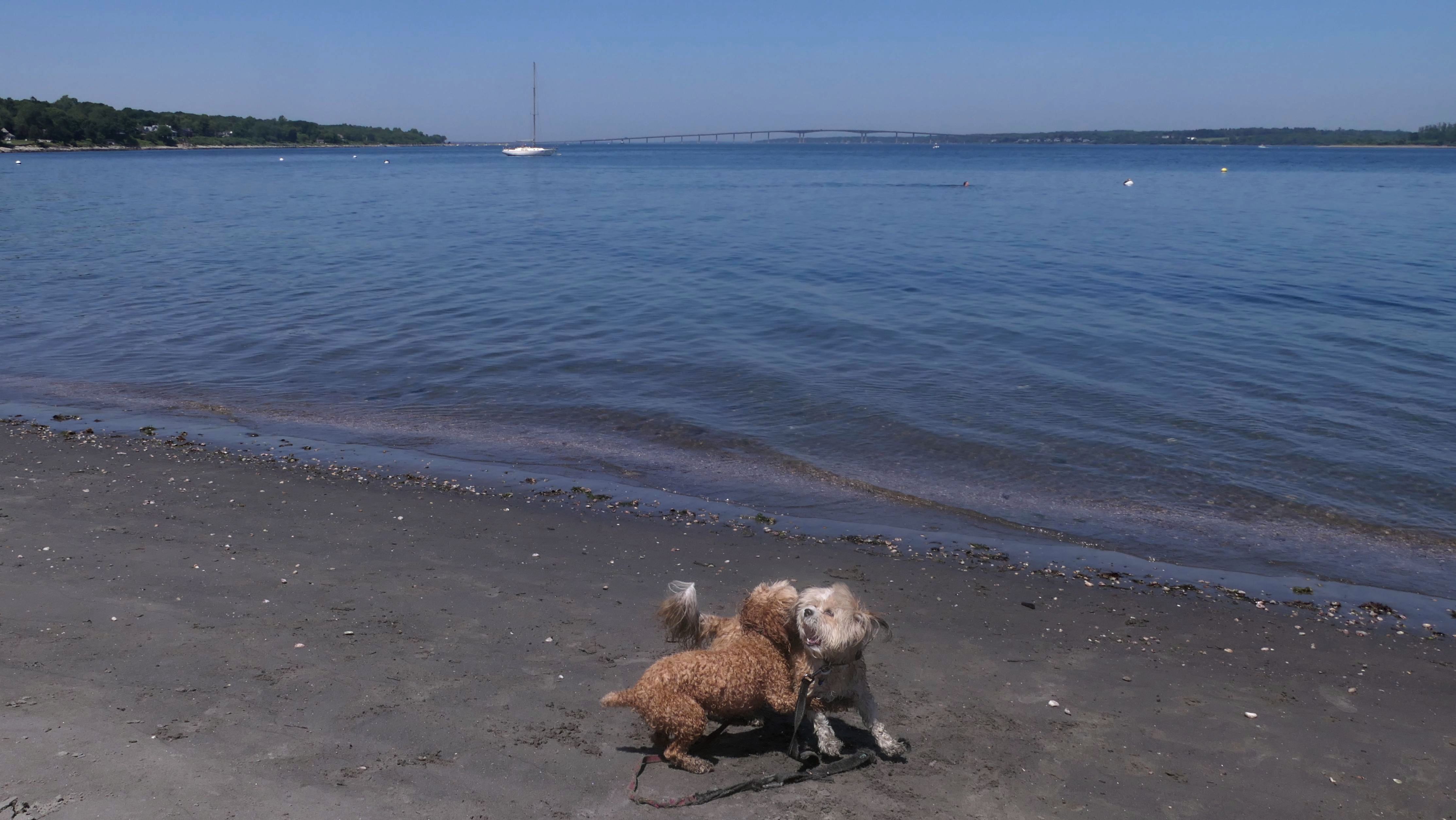
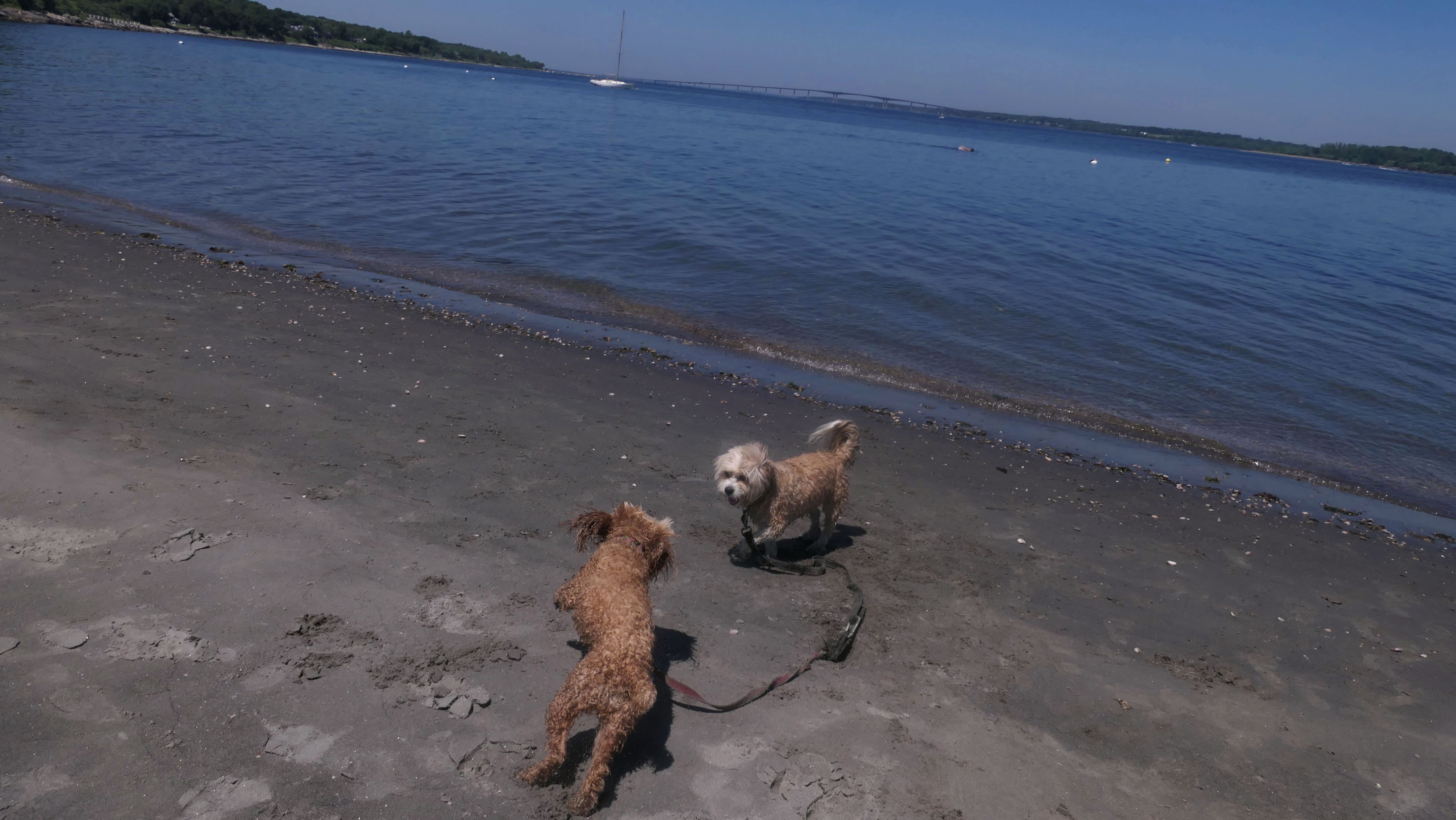
Date visited: 6/19/2025
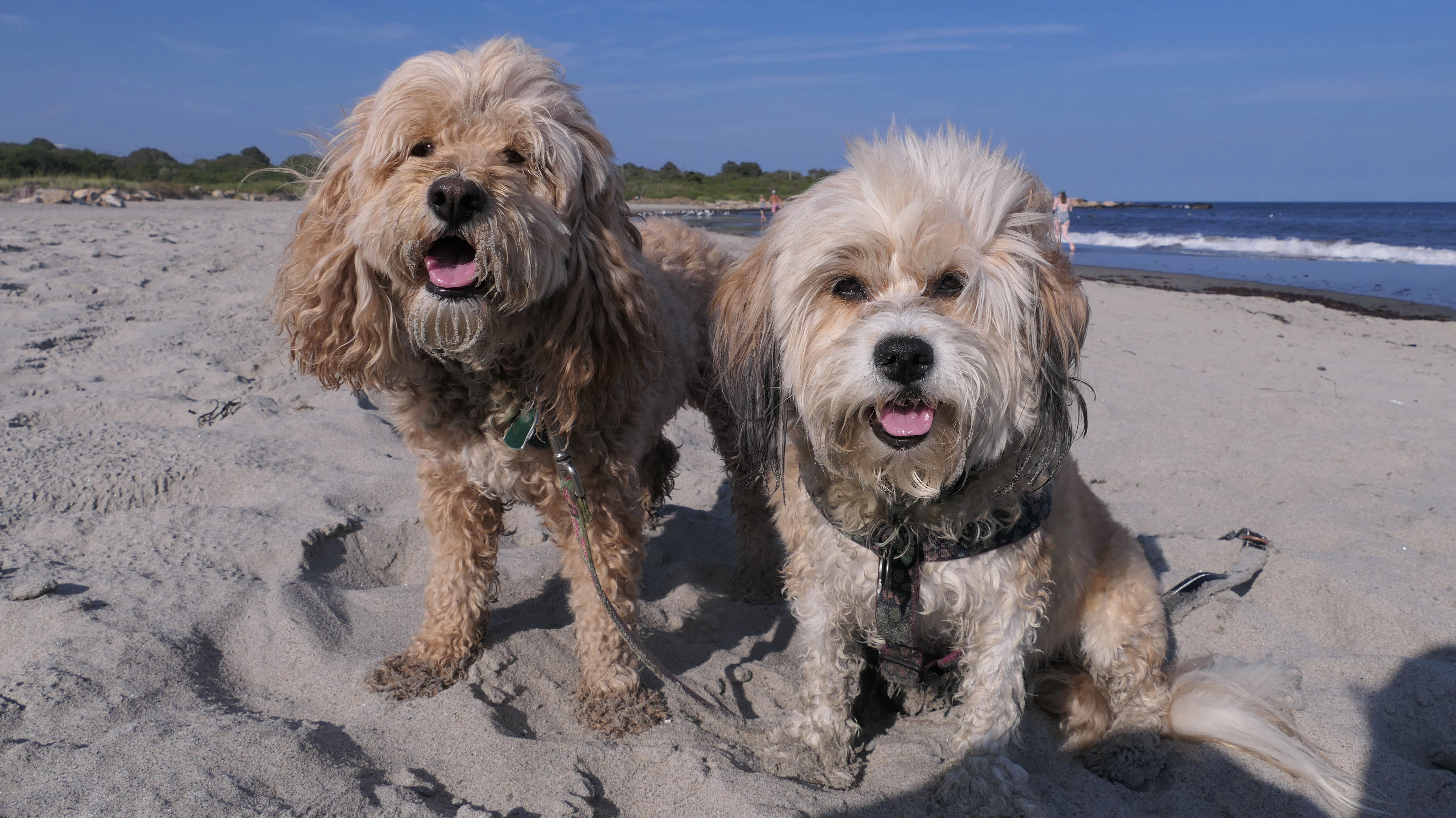
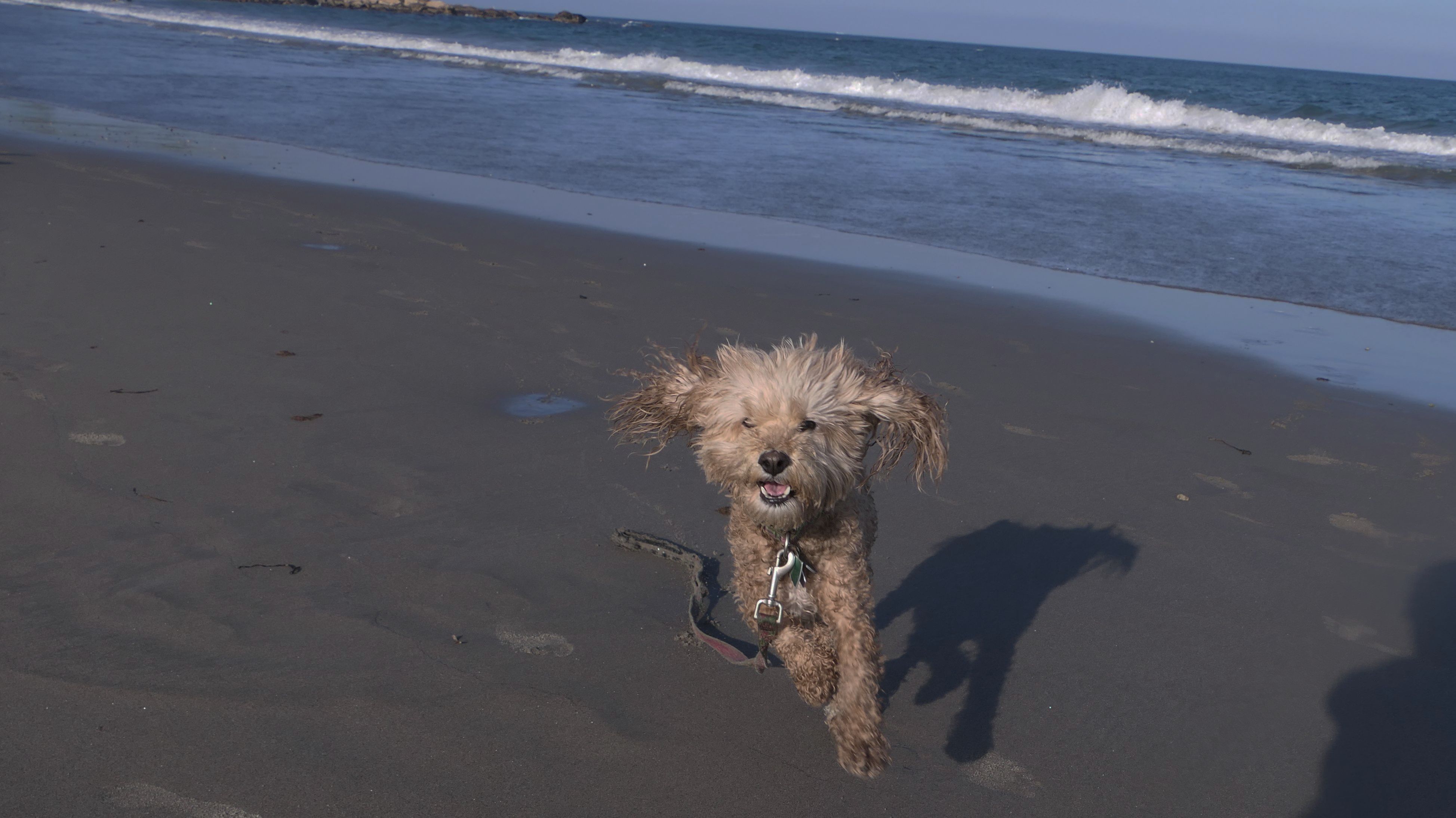
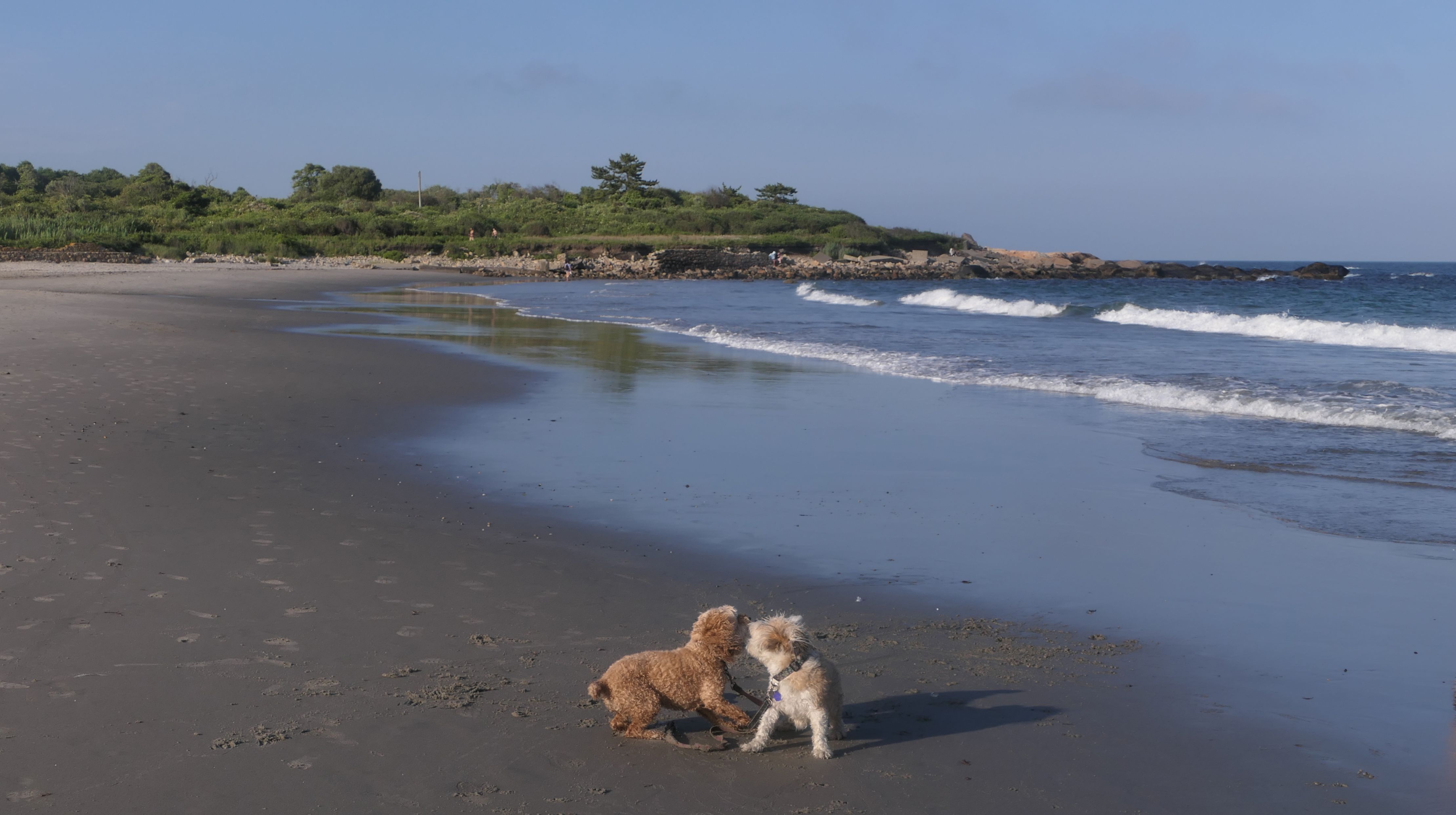
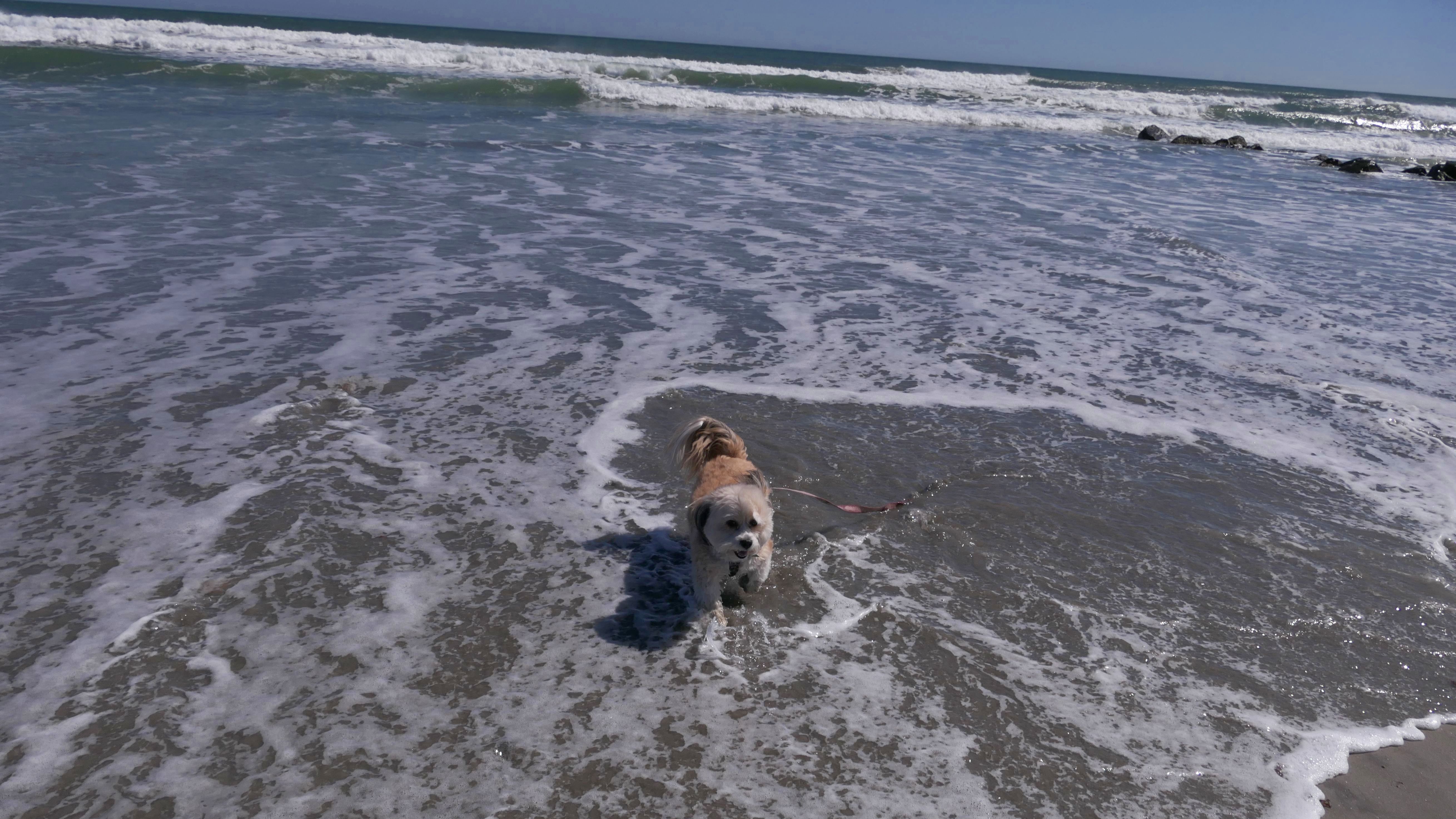
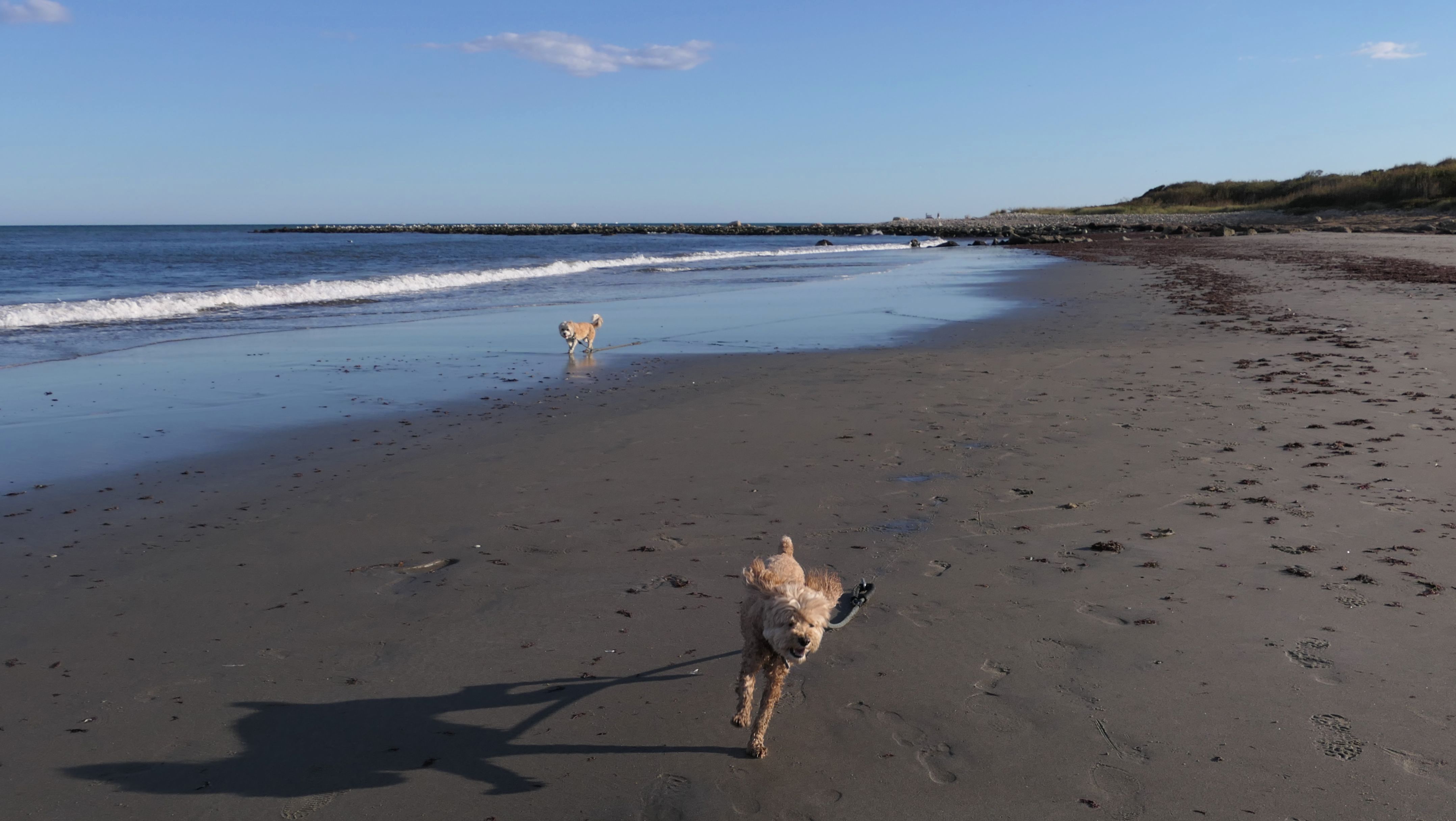
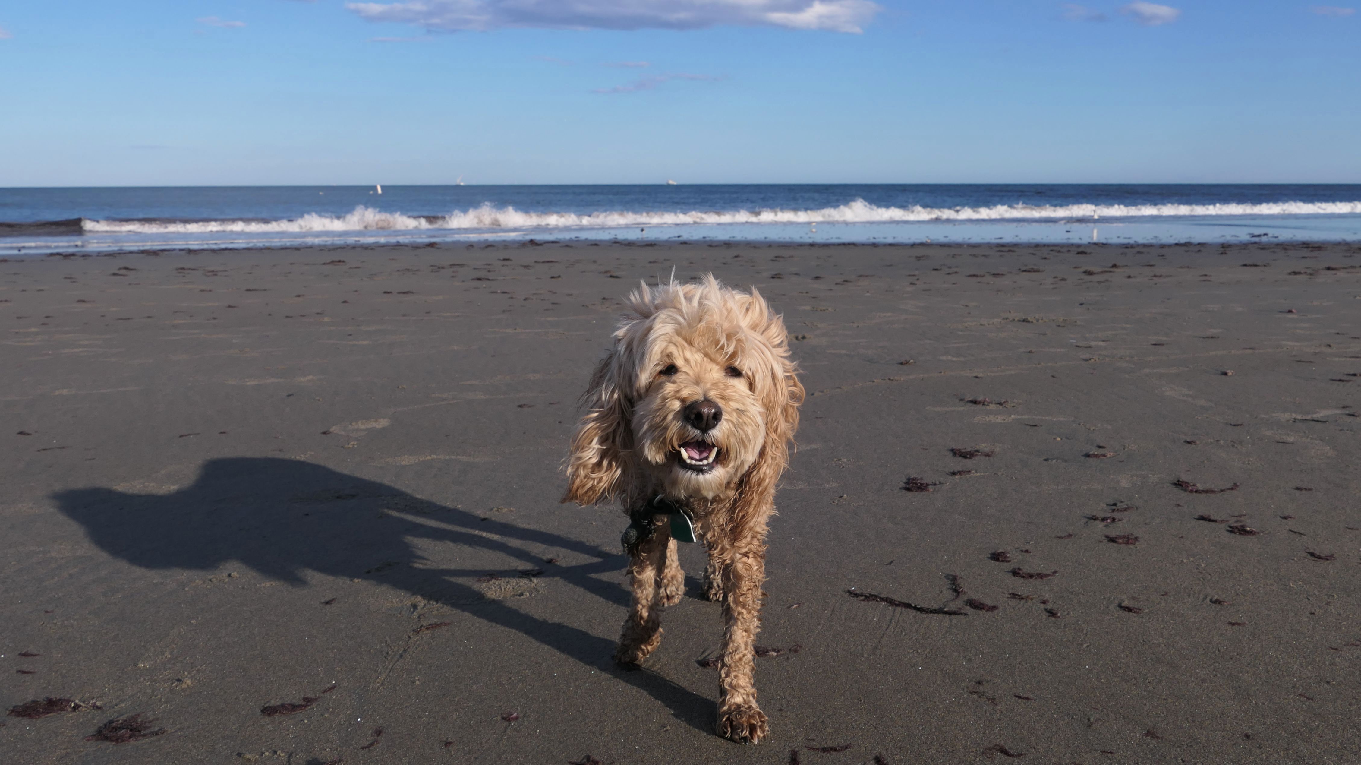
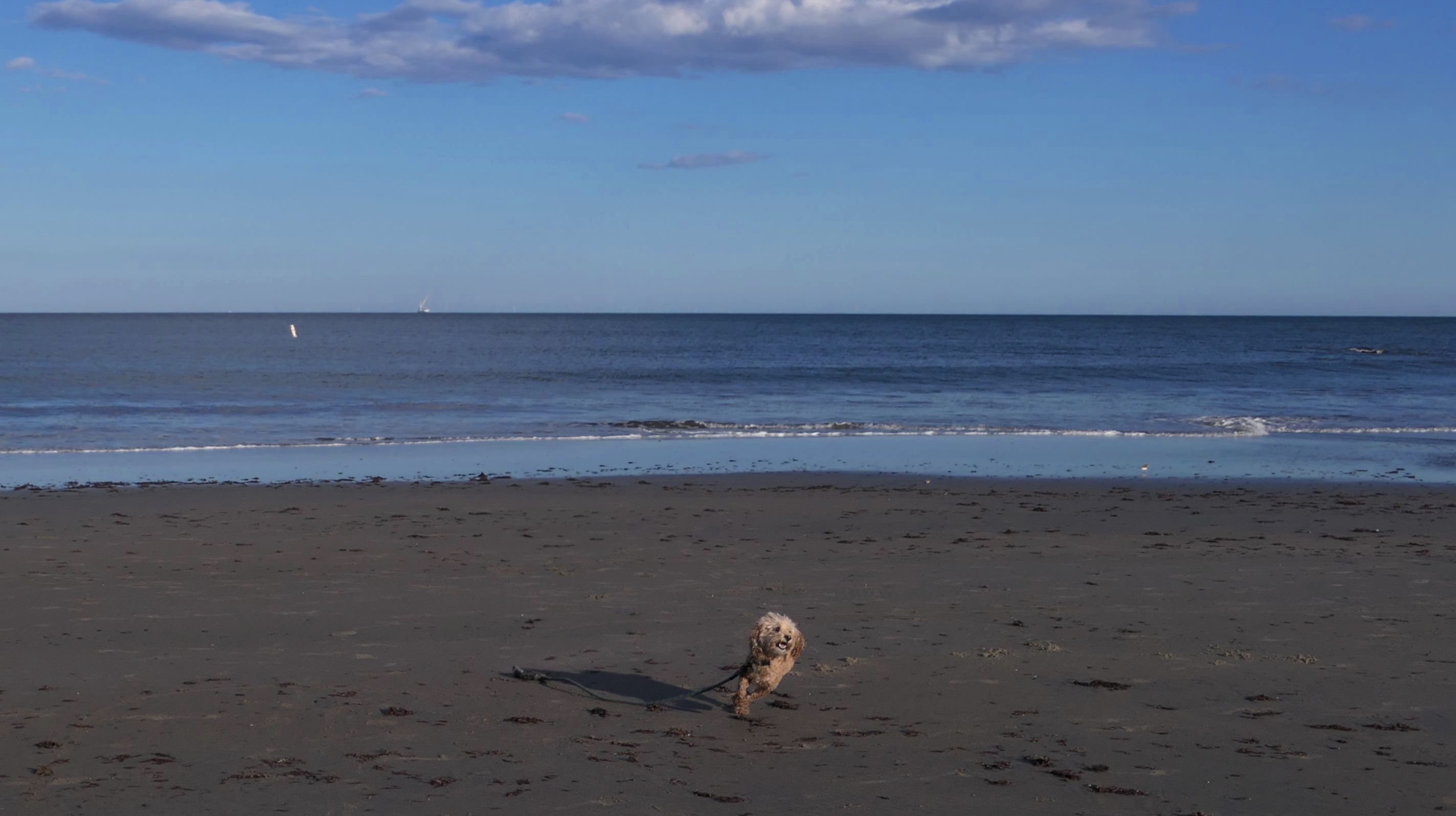
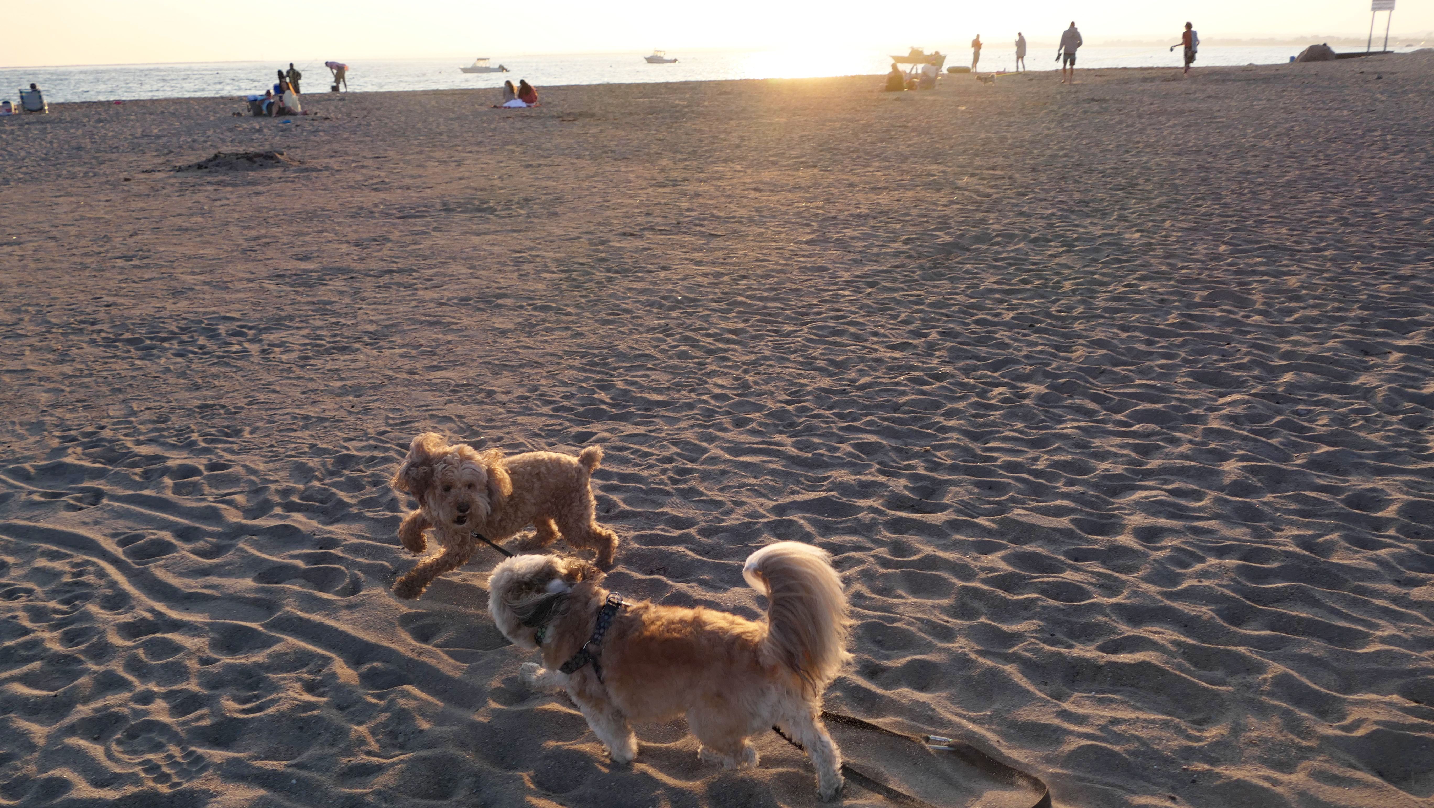
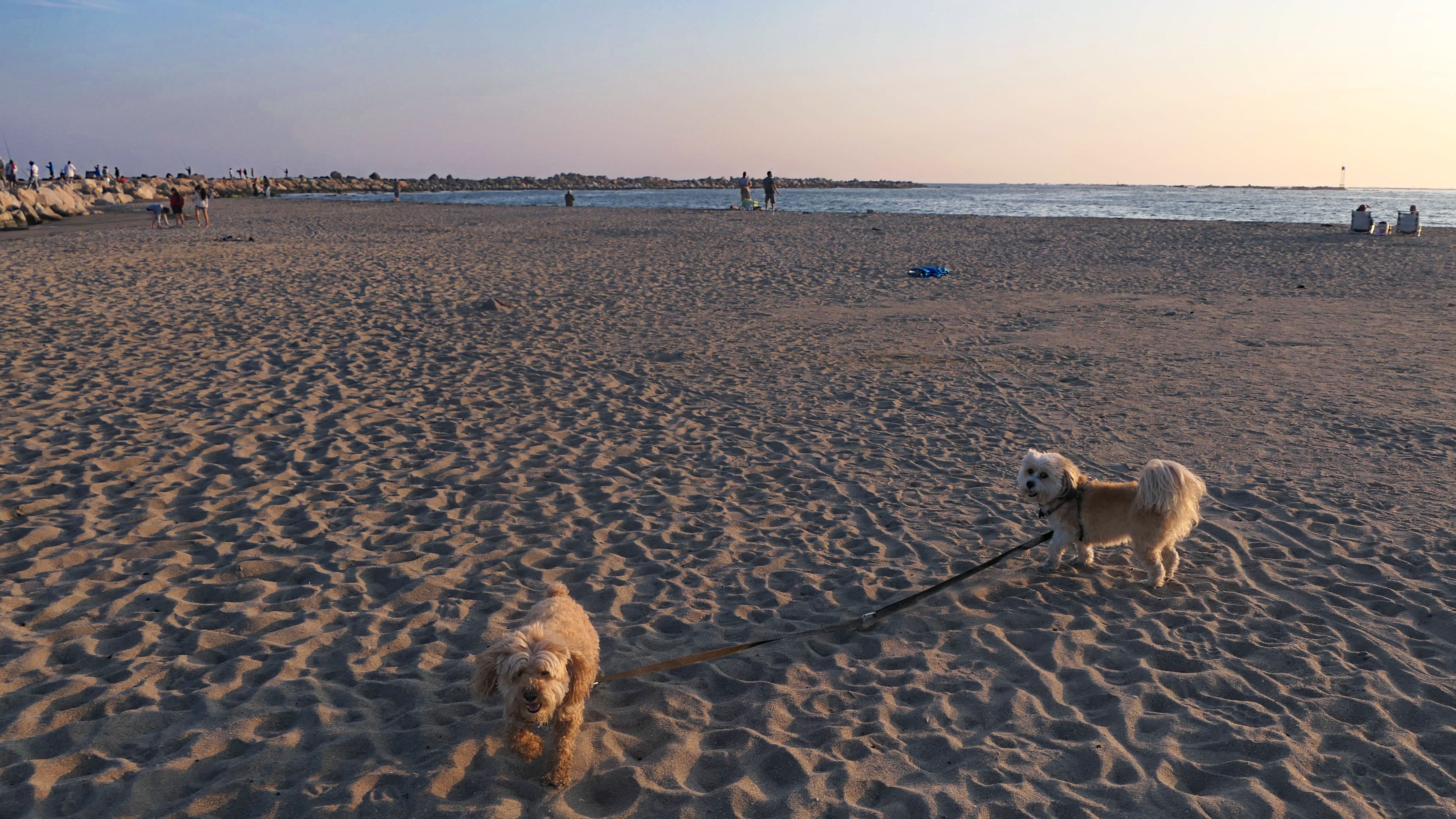
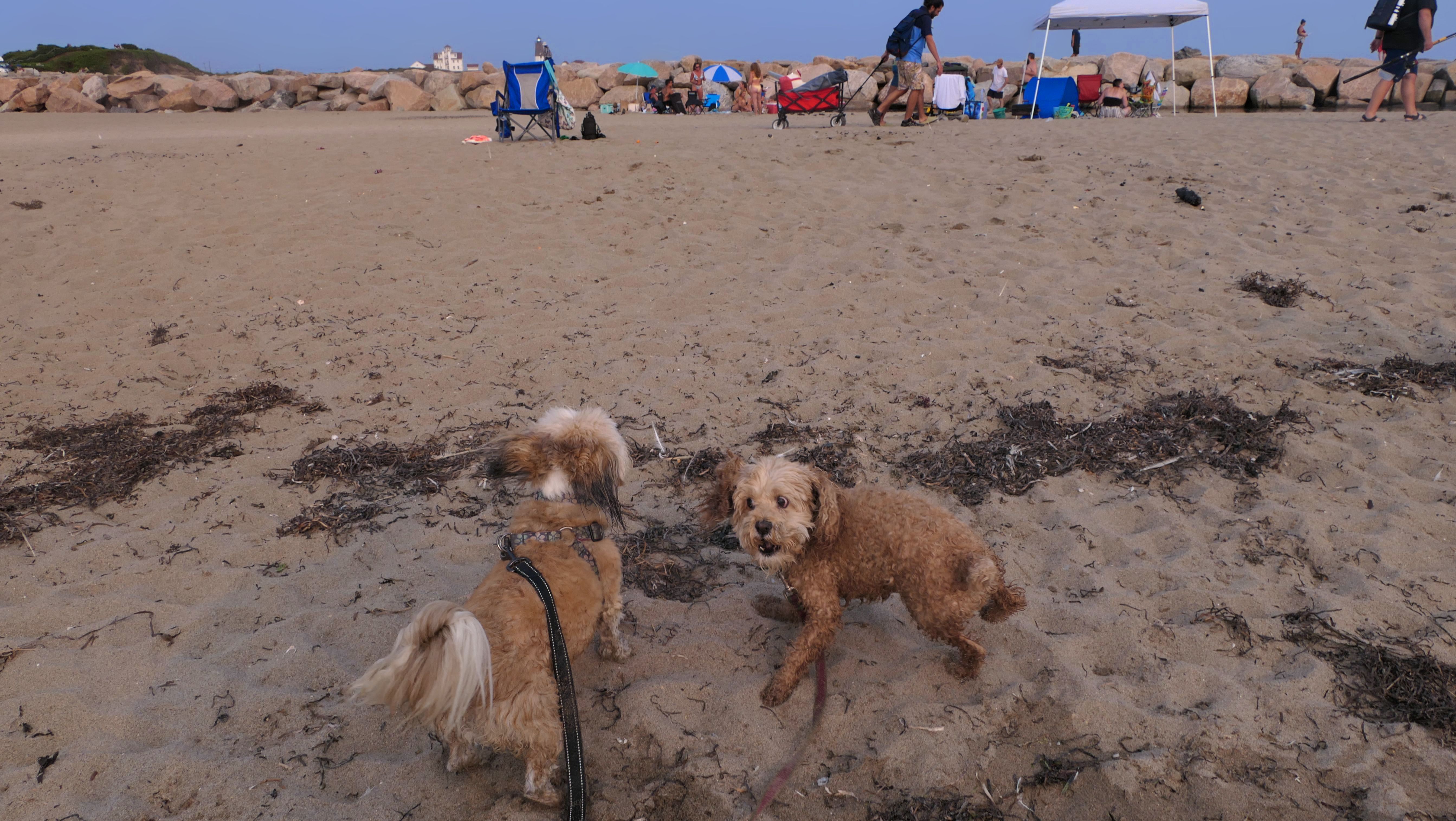
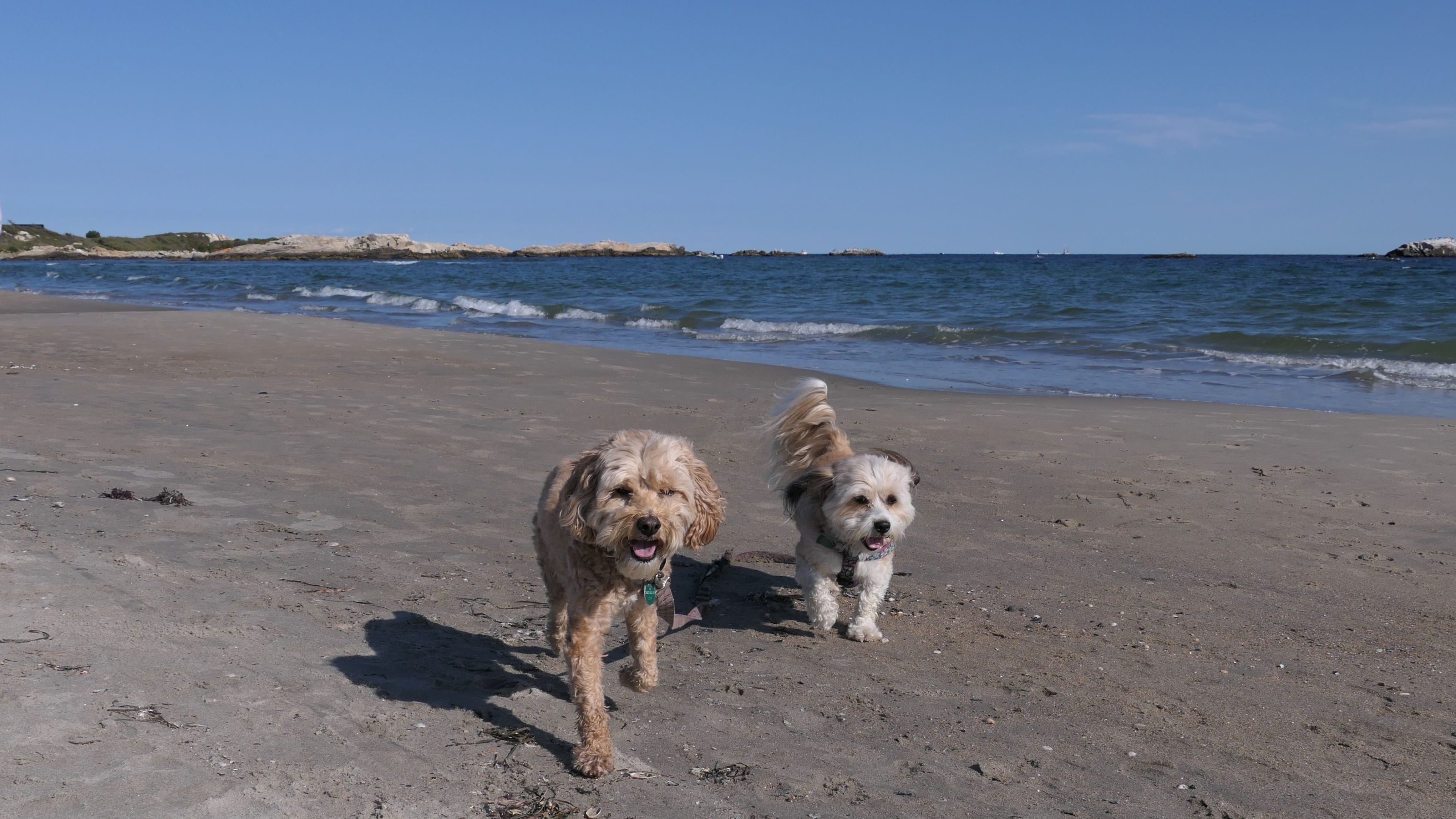
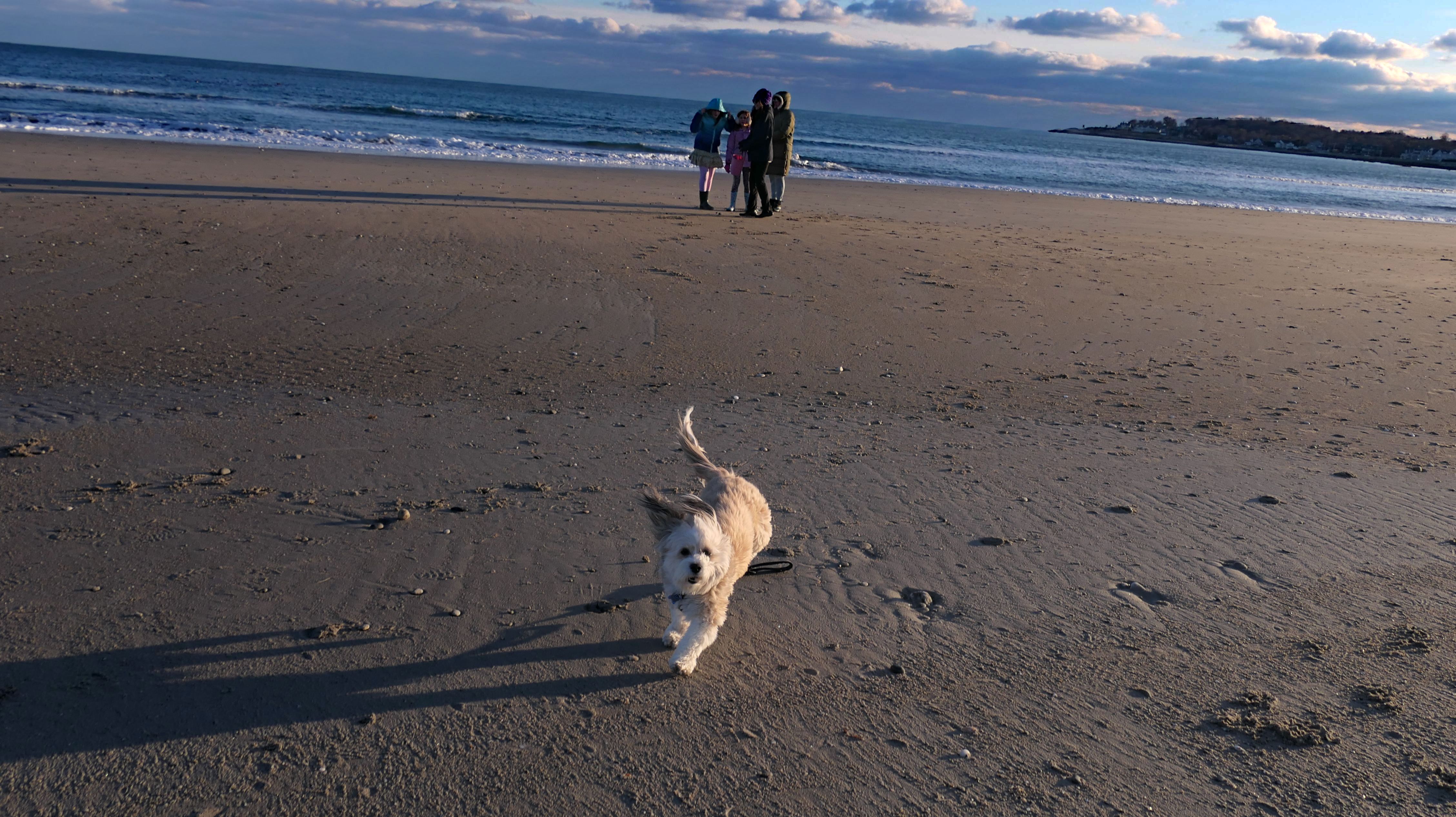
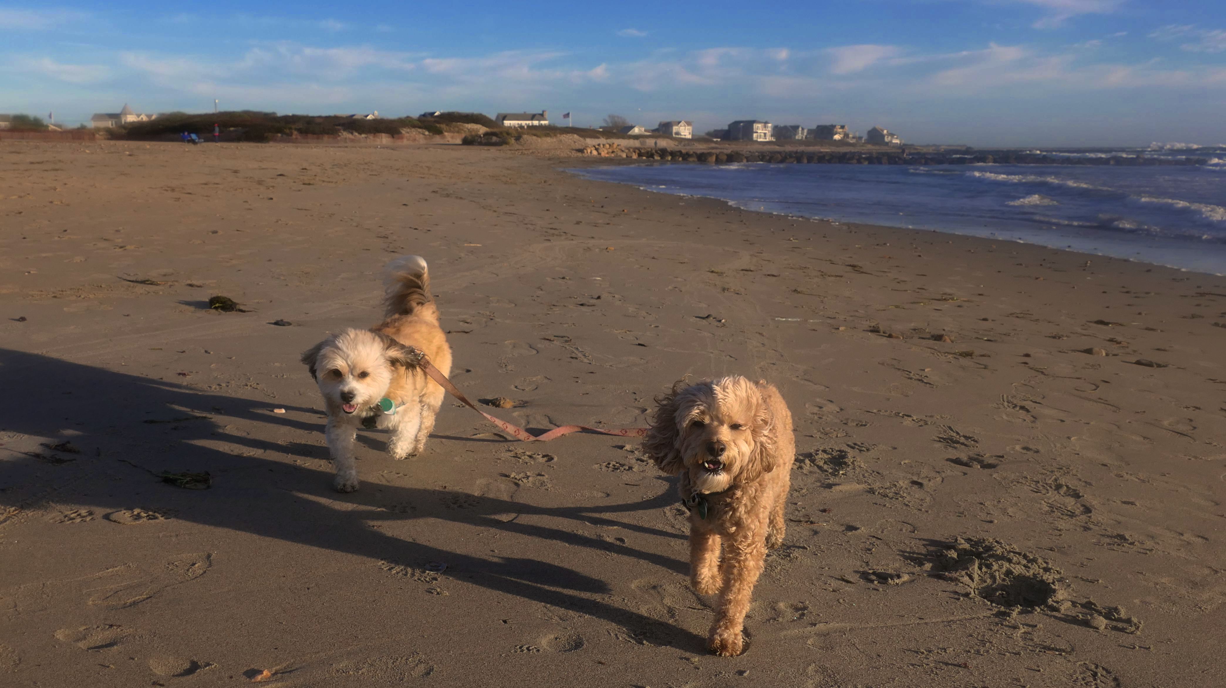
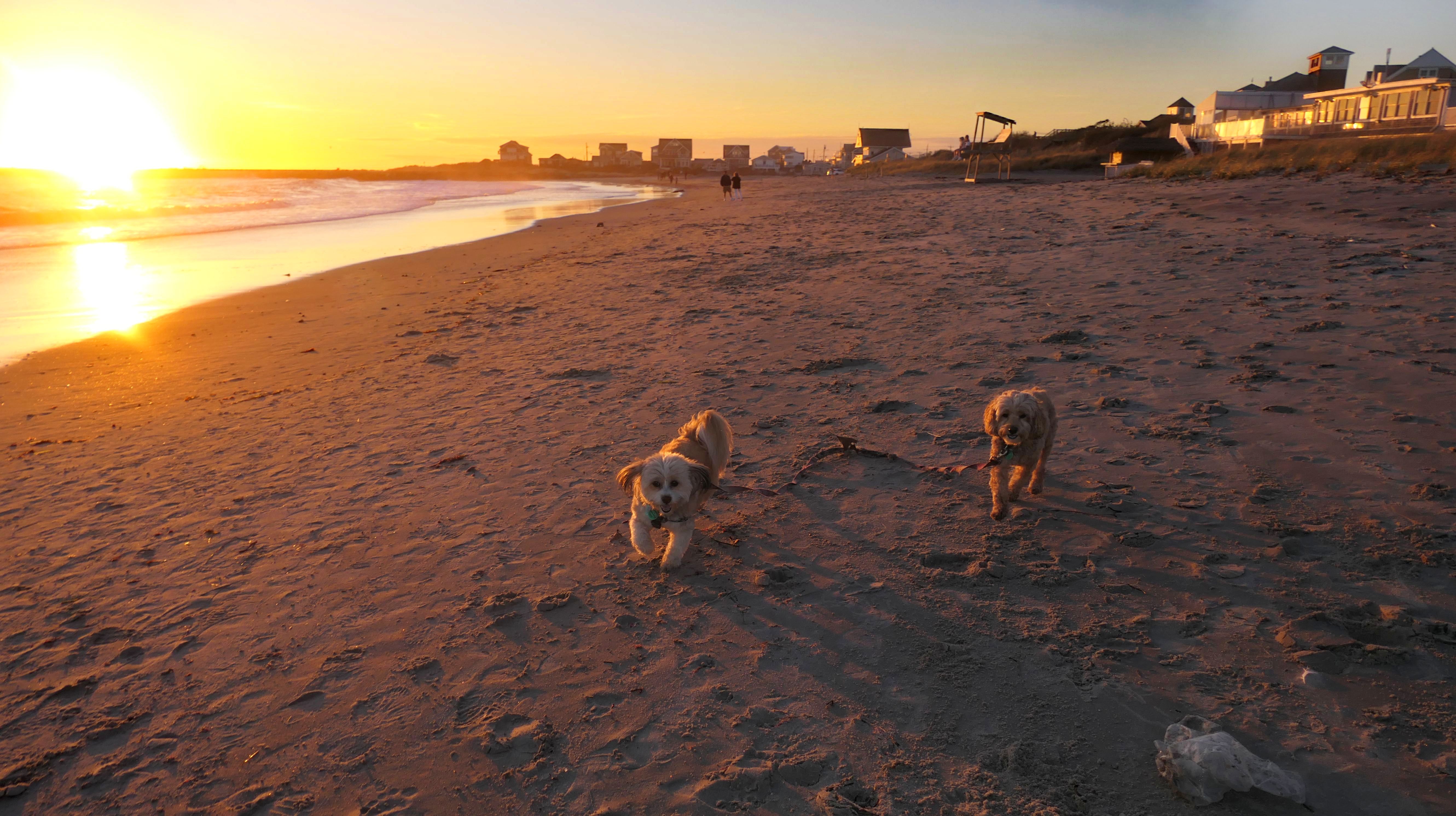
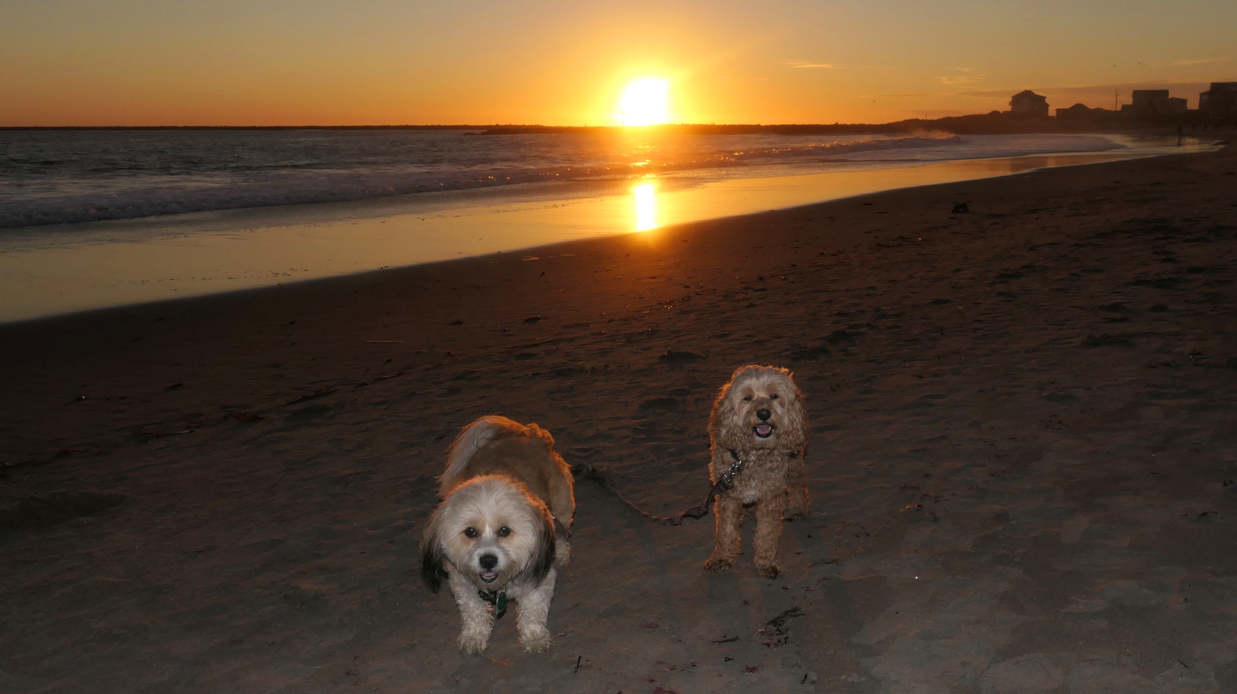
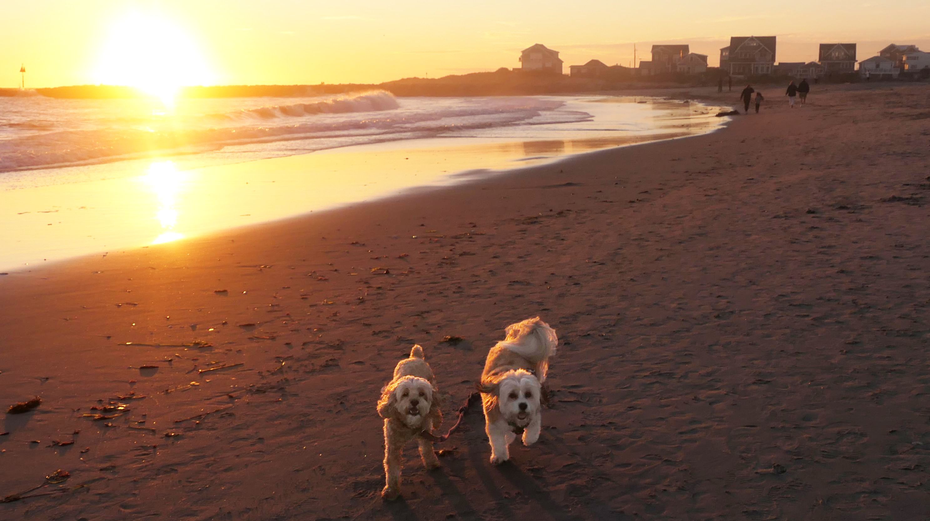
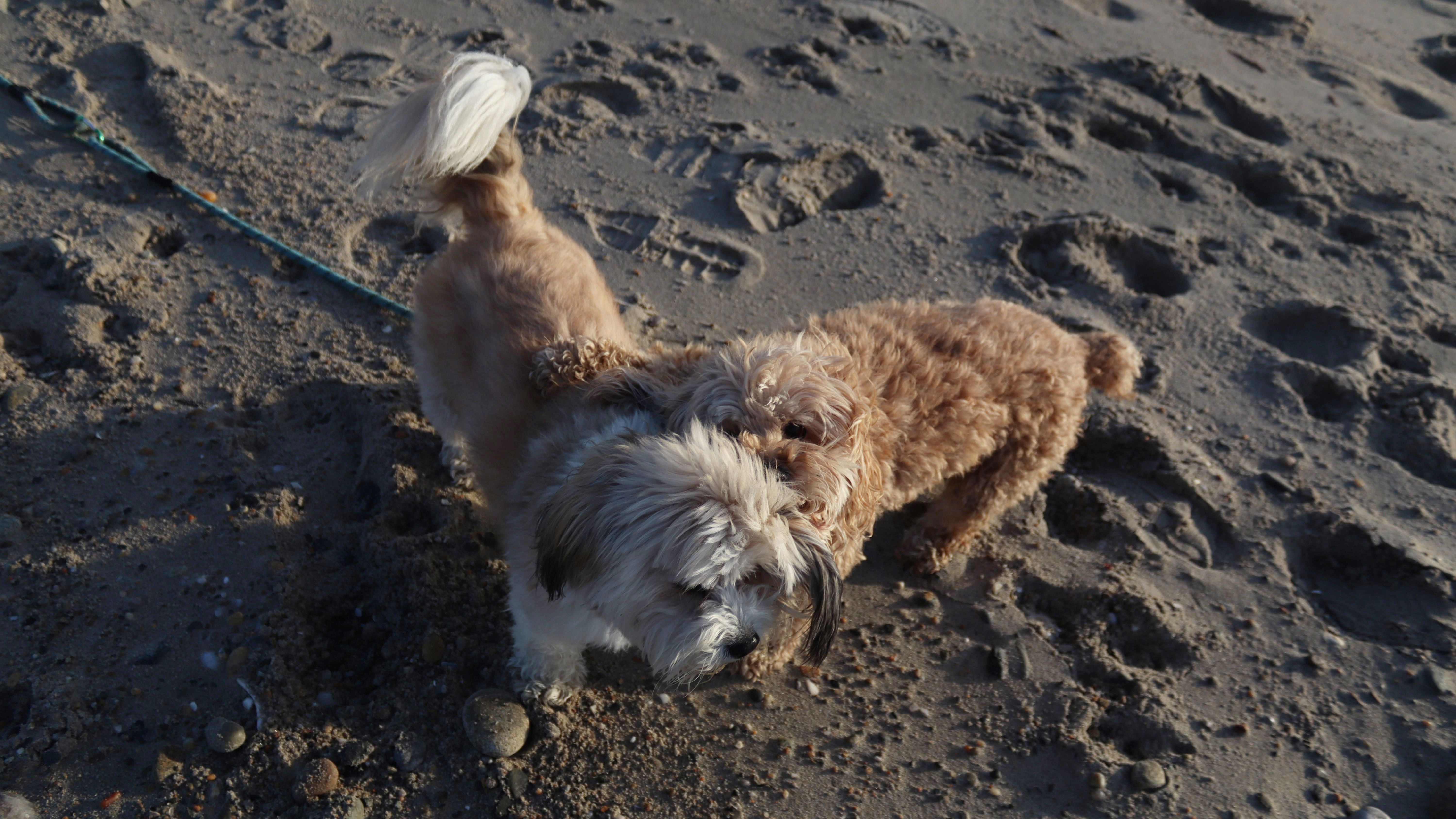
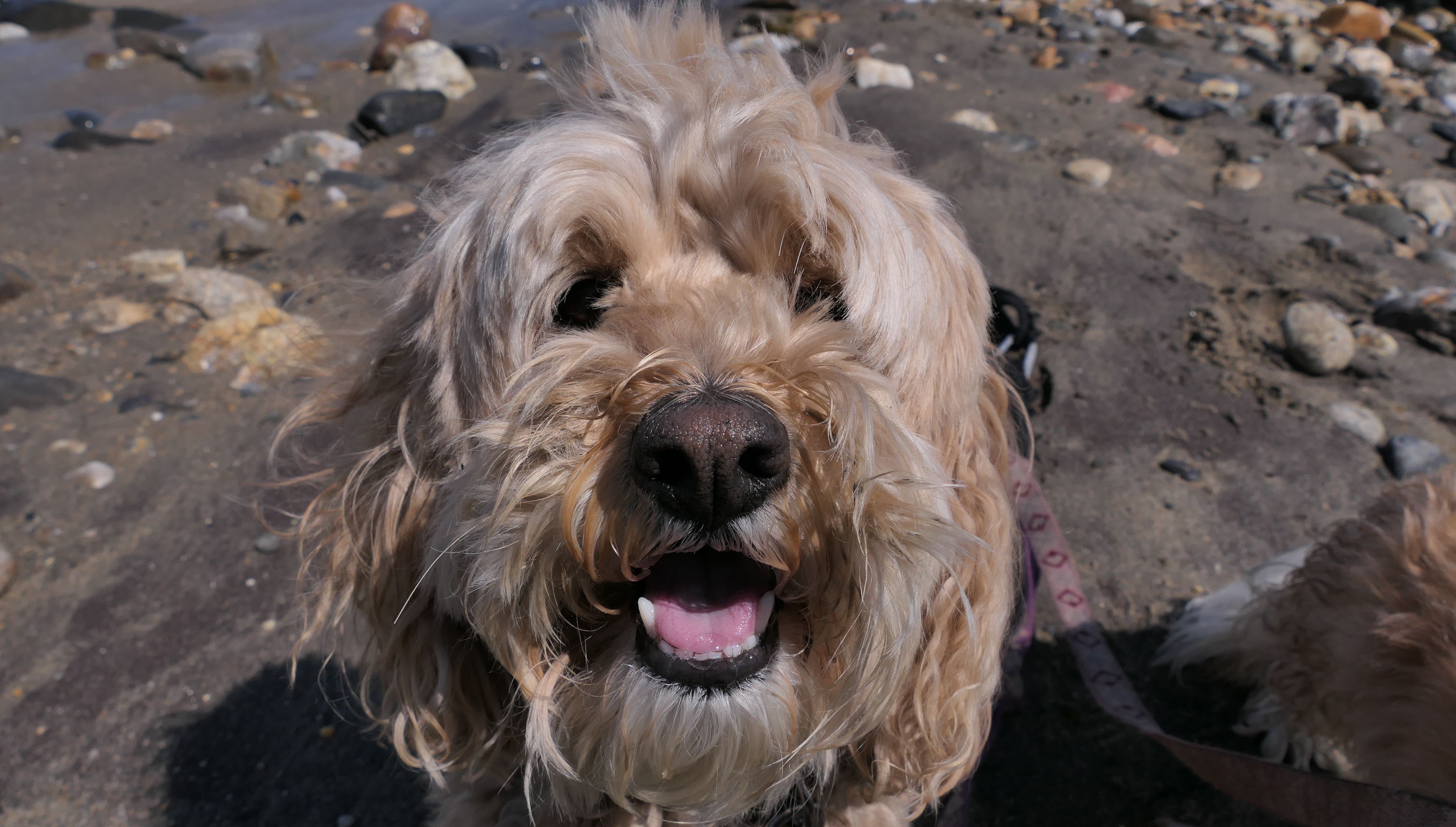
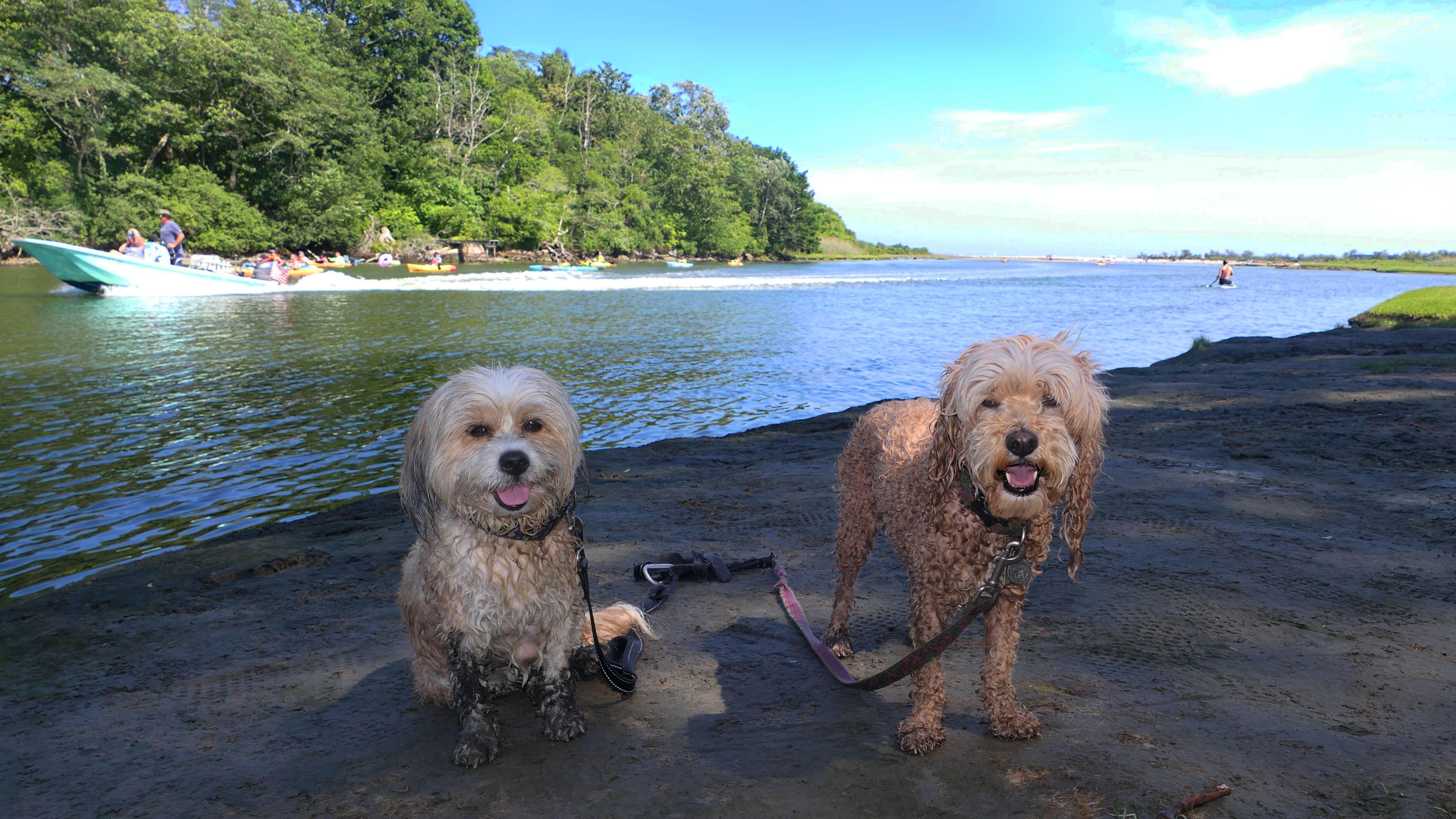
We've visited this beach enough times I wasn't even going to add an entry on this page for this trip, but I got some great photos of Mandy and Lexi running and playing on the beach, so I had to do a write-up. There's a small parking area that holds about a half dozen cars, on Ocean Road, just across the street from the Clarke Road intersection. We parked there and took a short trail that leads directly to the beach, bypassing the Black Rock trail and ruins. (It also bypasses having to pay to park during beach season). Dogs aren't really allowed here on the summer months, but we stayed at the north end near the ruins, and it was late in the day, so we didn't have any problems. It was a very hot day, and this was our 5th stop, so the idea was just to cool off in the water. Mandy and Lexi wouldn't go out that far into the water, but they did decide to get their crazies out and start playing on the beach. I love when they do that, and took plenty of action shots! It's good to see them still have this kind of energy, despite being 10 and 9 years old. Hopefully this energy will last for many years longer!
More Images
Scarborough North State Beach
Date visited: 12/28/2025
We were hiking the Black Point Trail with my brother, who was visiting from Colorado. He doesn't get to see the ocean that much in Colorado, so we continued along this beach for a bit. While I've been here with the dogs many times, this is the first time we visited this beach with snow on the ground. That didn't stop Mandy and Lexi from running and playing on the beach!
More Images
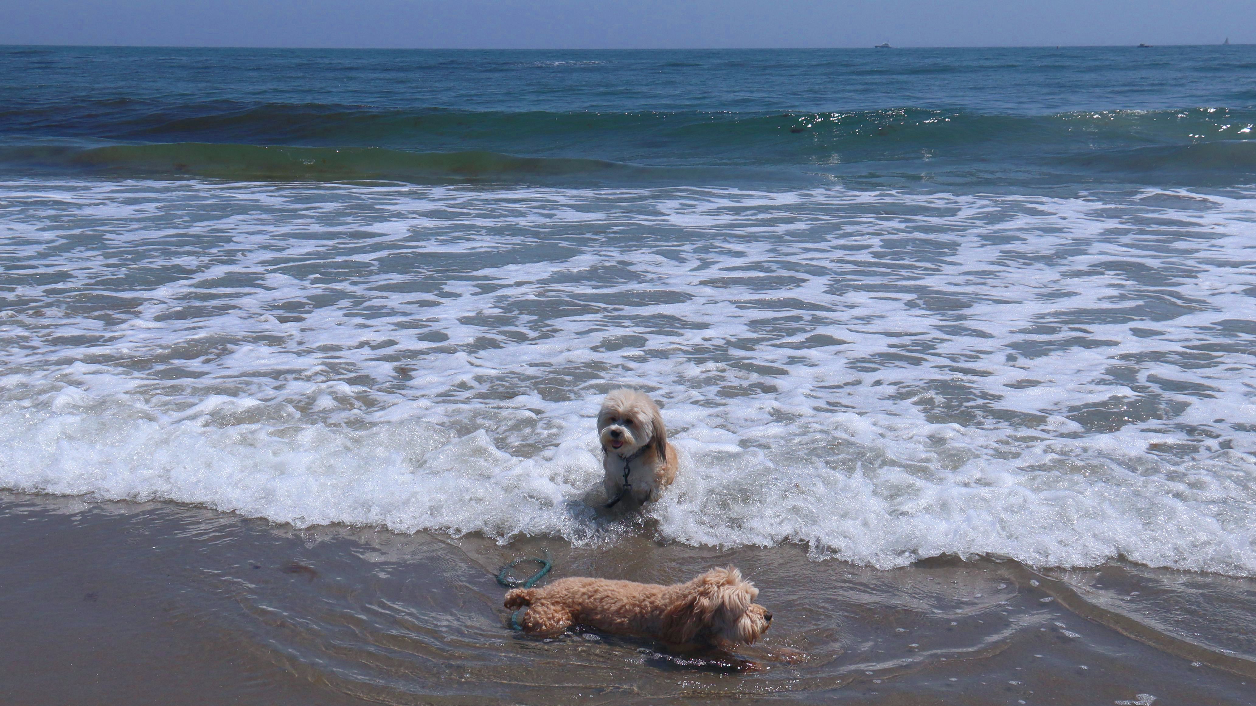
Scarborough North State Beach
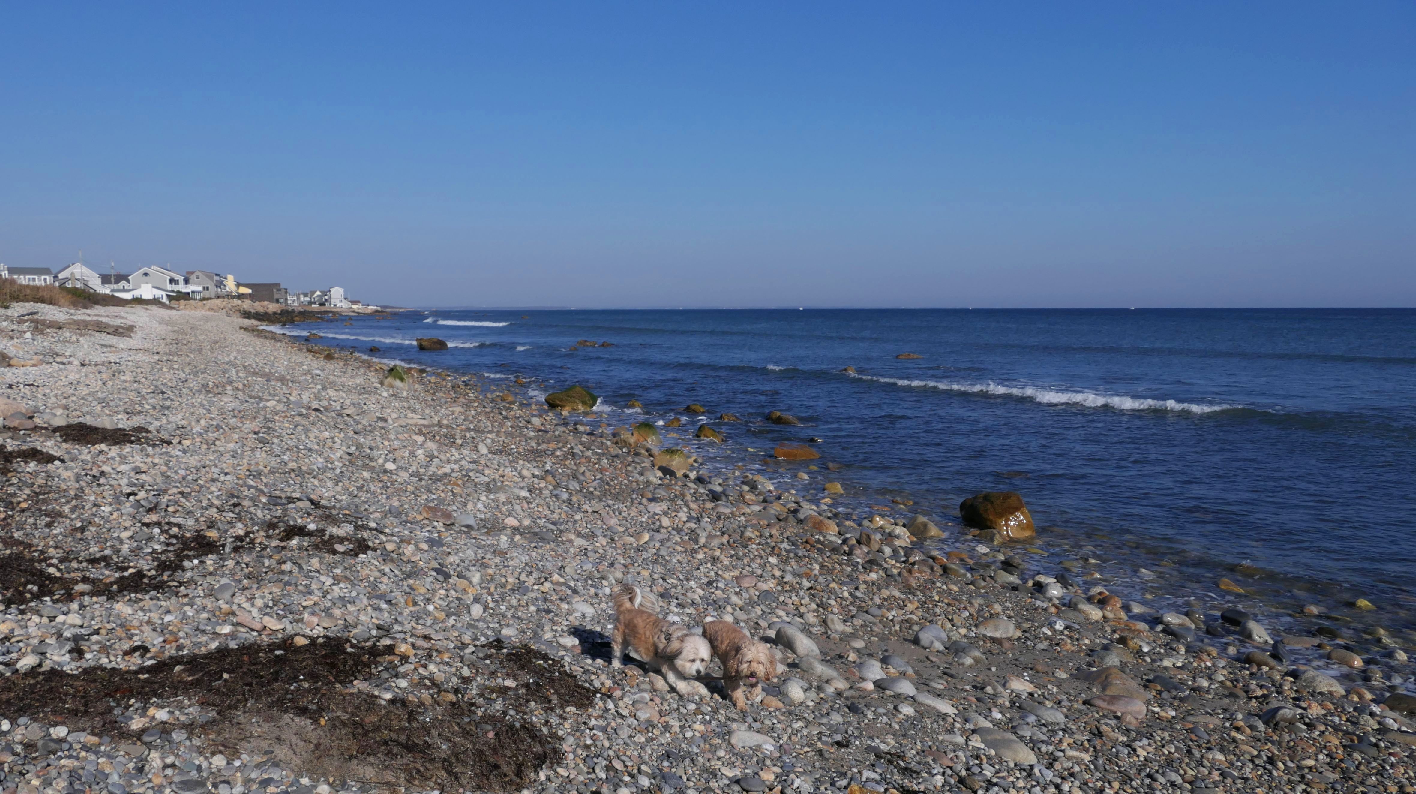
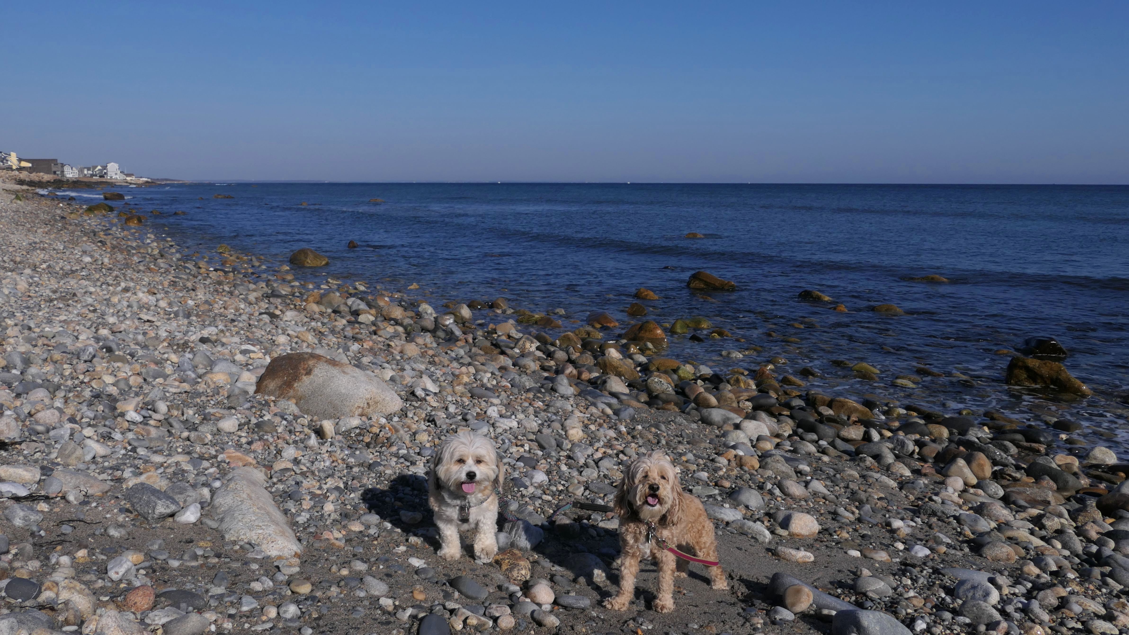
Date visited: 5/18/2026
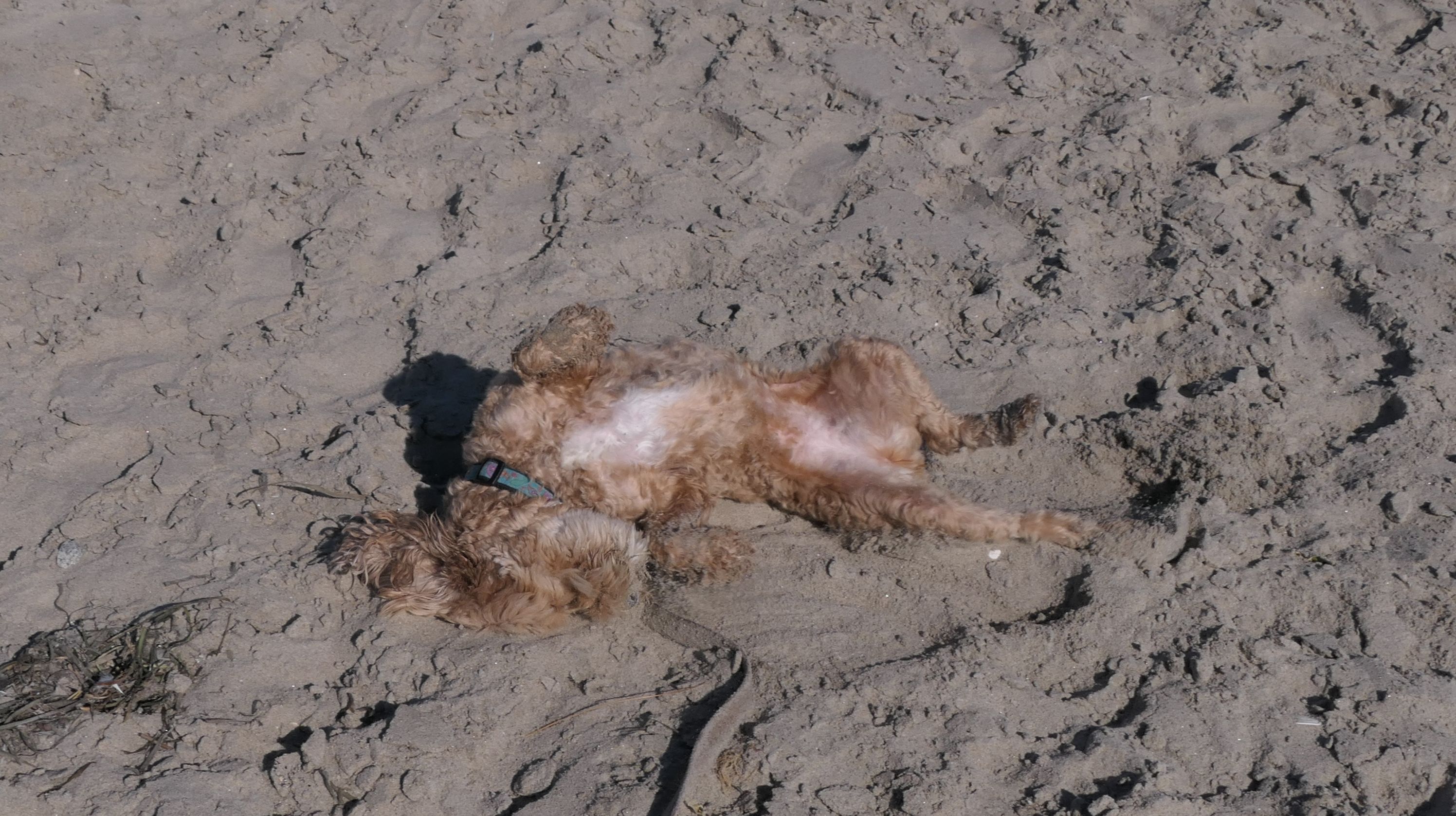
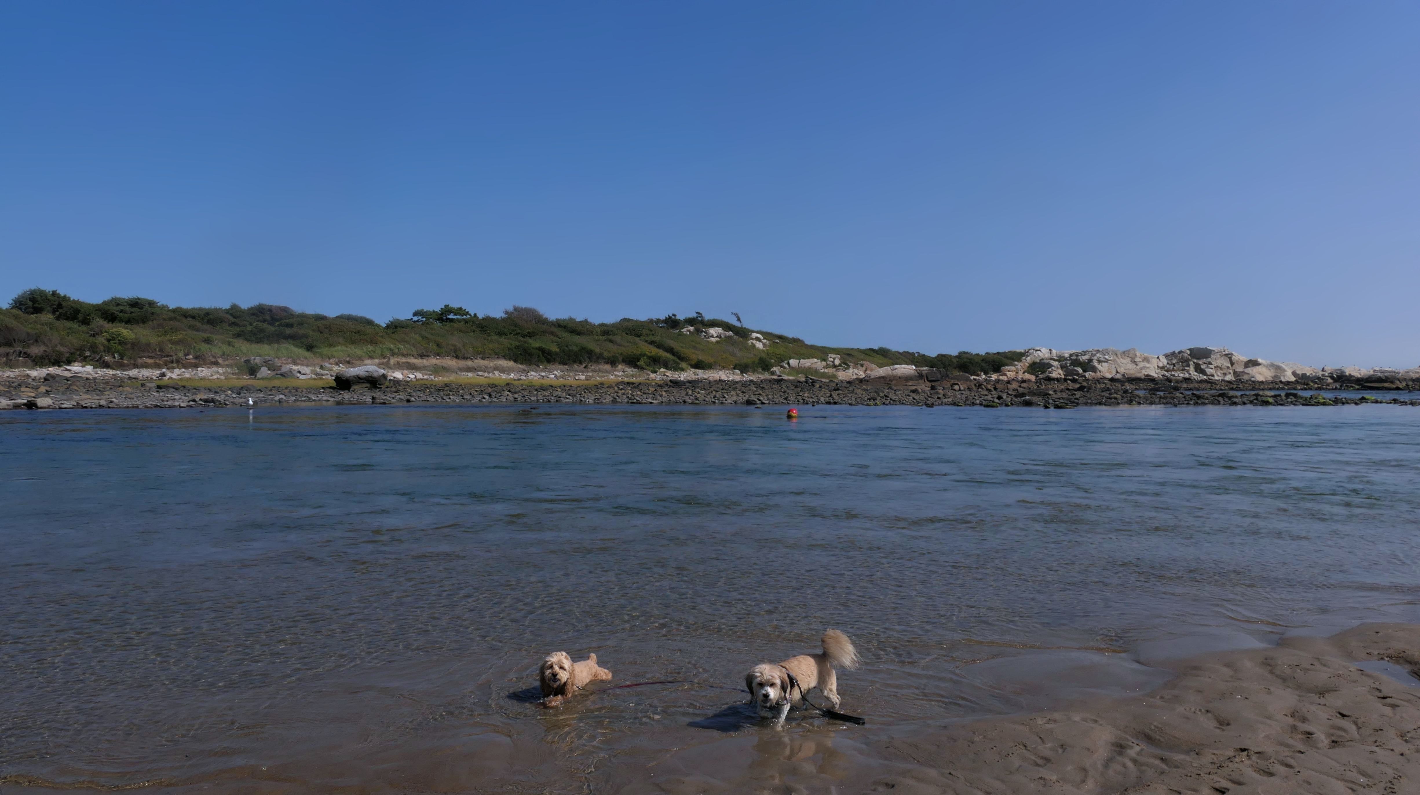
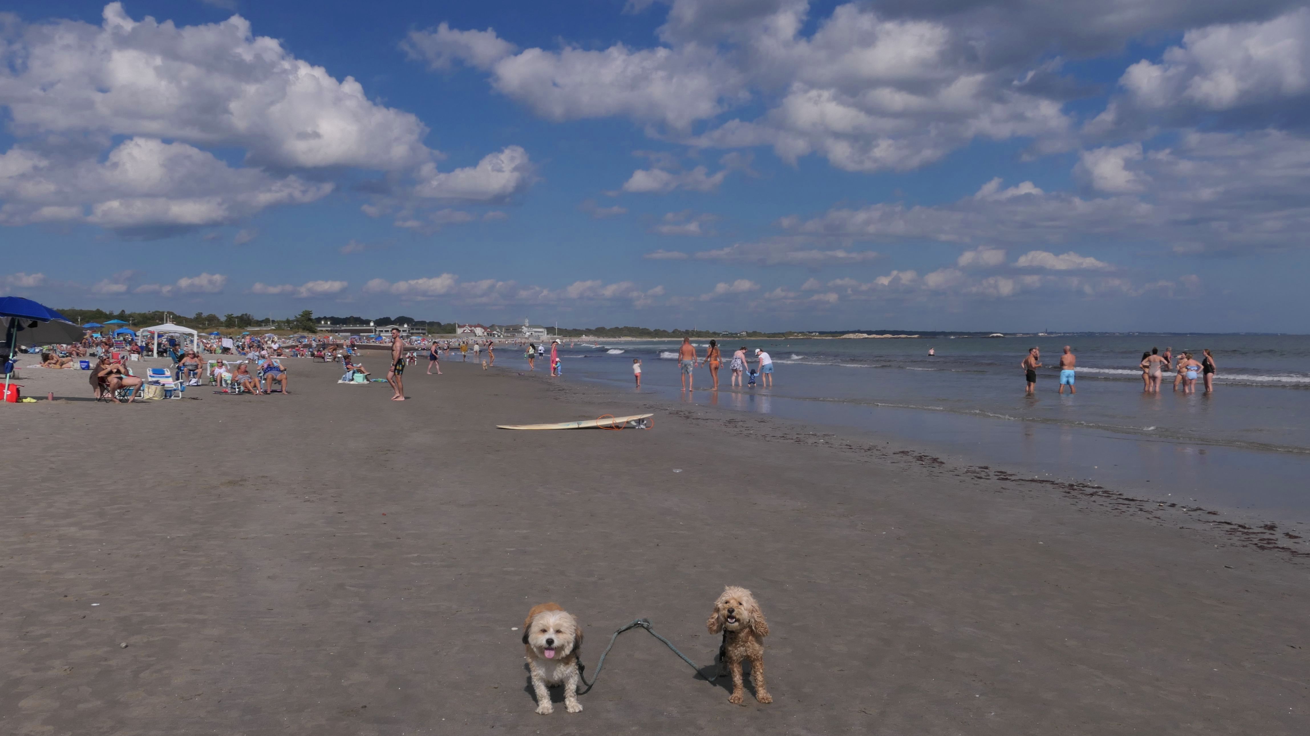
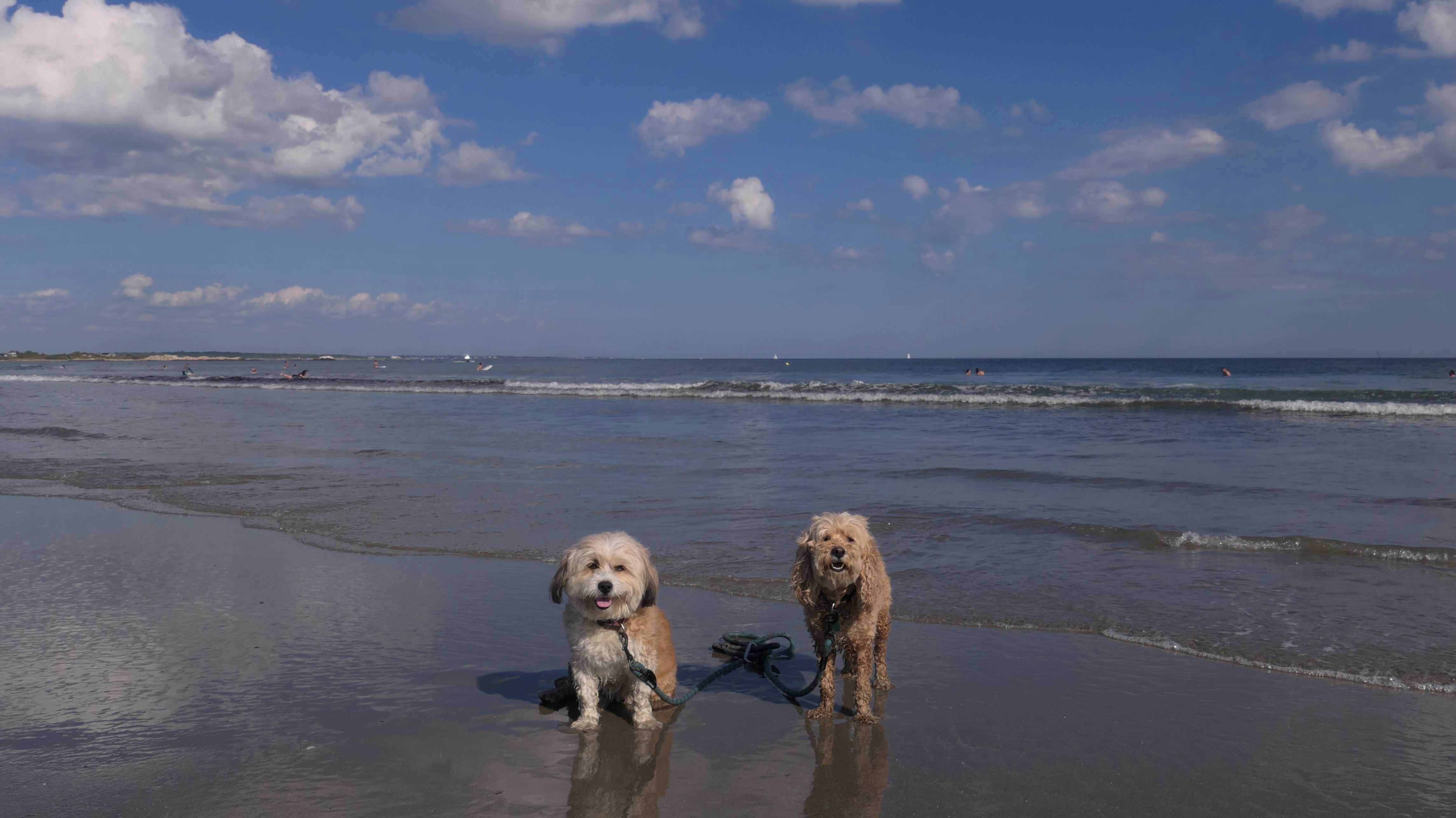
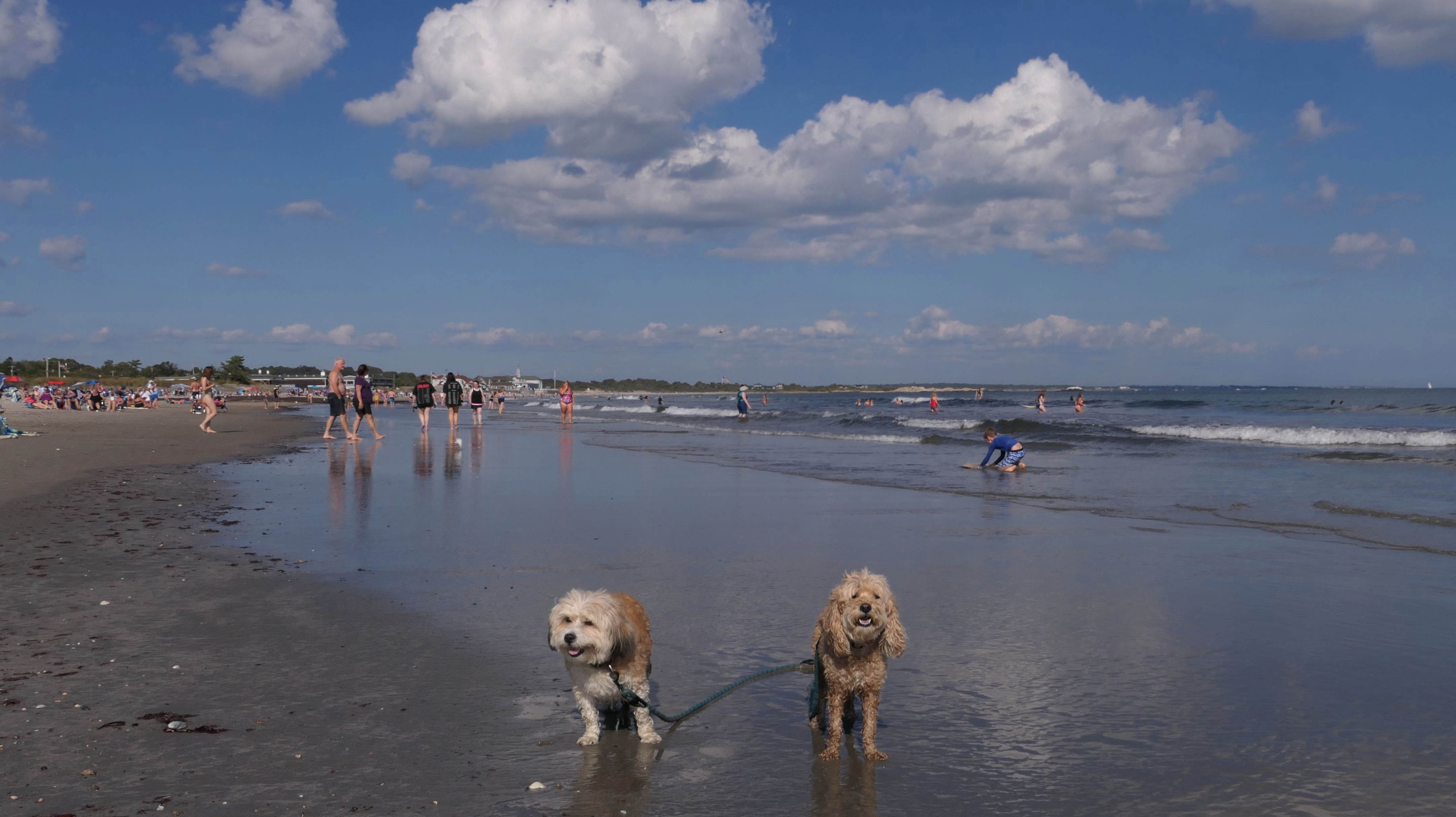
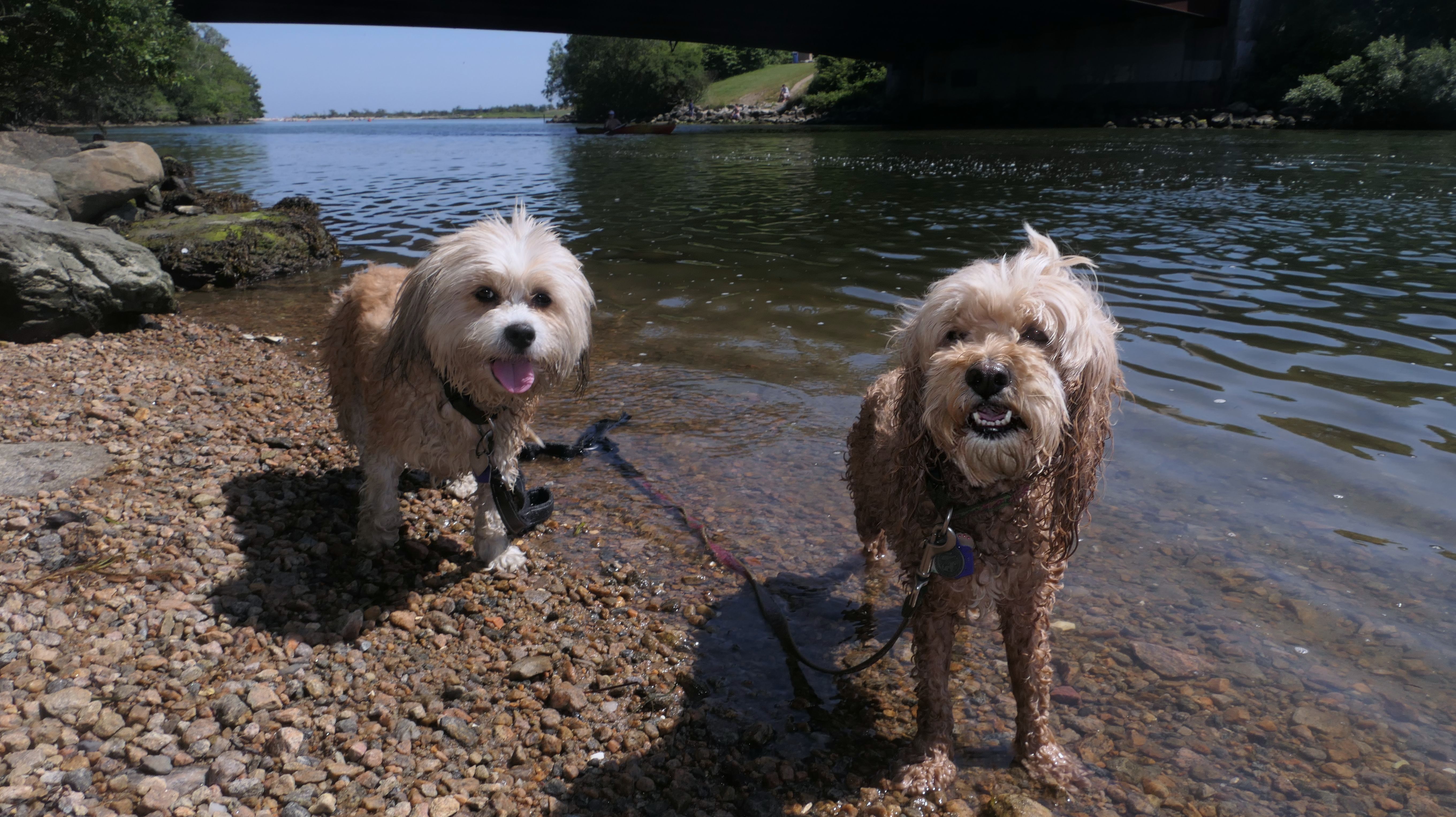
Once again, we visited the northern most portion of this beach after hiking the Black Point Trail. It was a hot day inland, so Mandy and Lexi jumped at the chance to cool off in the water here. We've been here a number of times, so it is difficult to find new and exciting photos to take here, but I did get some good shots of the dogs cooling off in the water. I think Lexi made it a goal to get as dirty as she could. After laying down at the edge of the ocean, she rolled in the sand until it was all over her! Luck ily, the water was close by, so she was able to rinse off a bit before we headed back to the car.


More Images

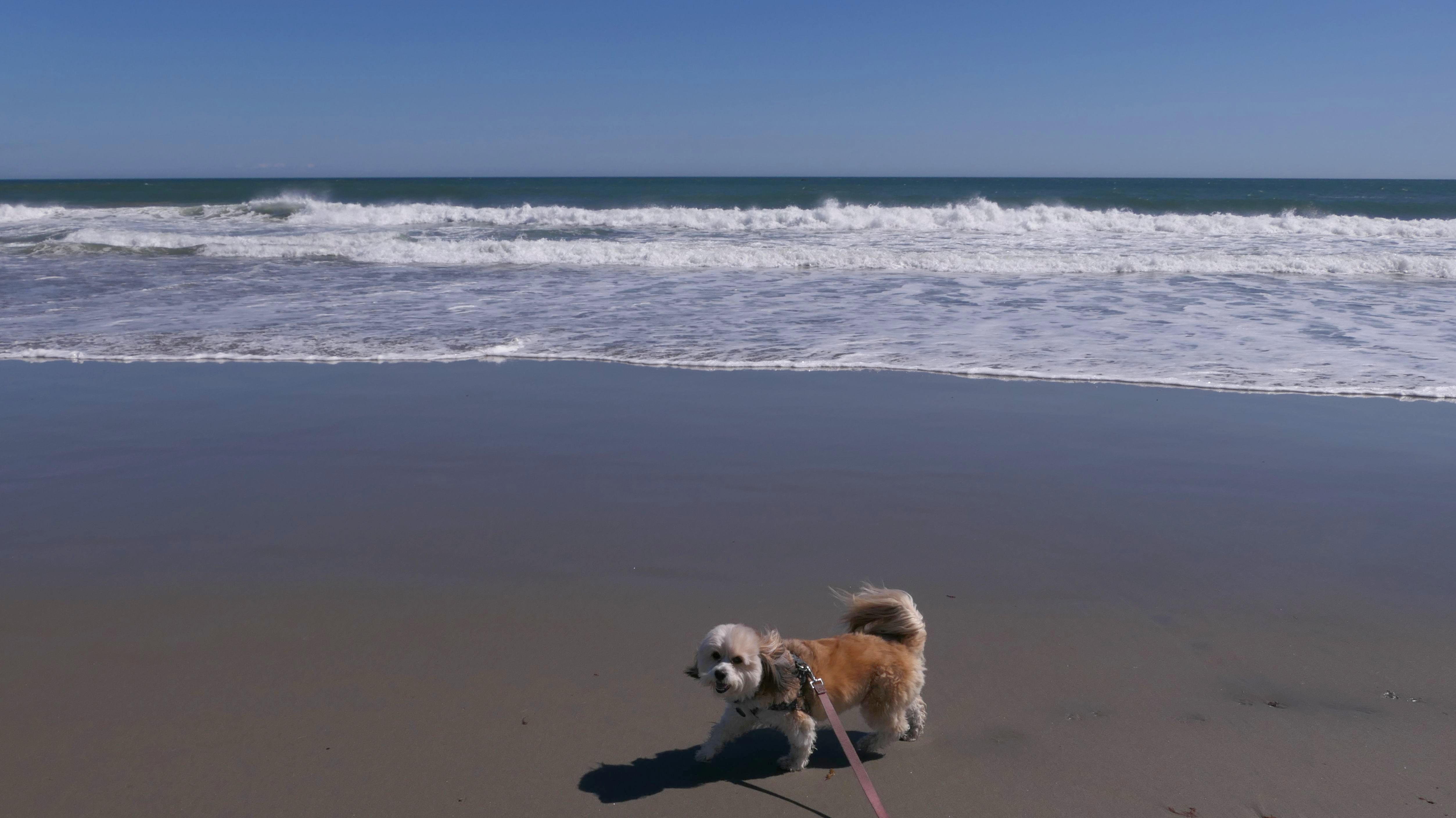
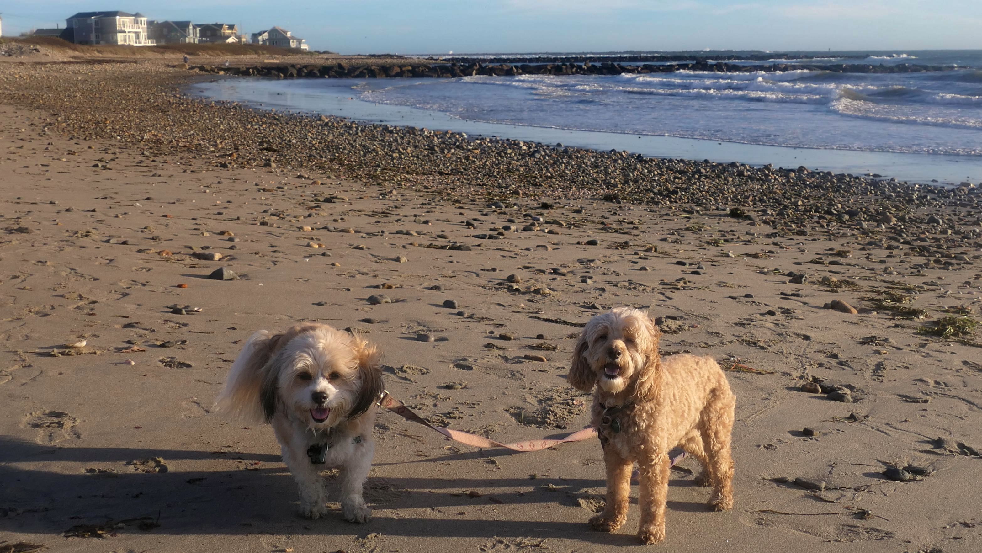
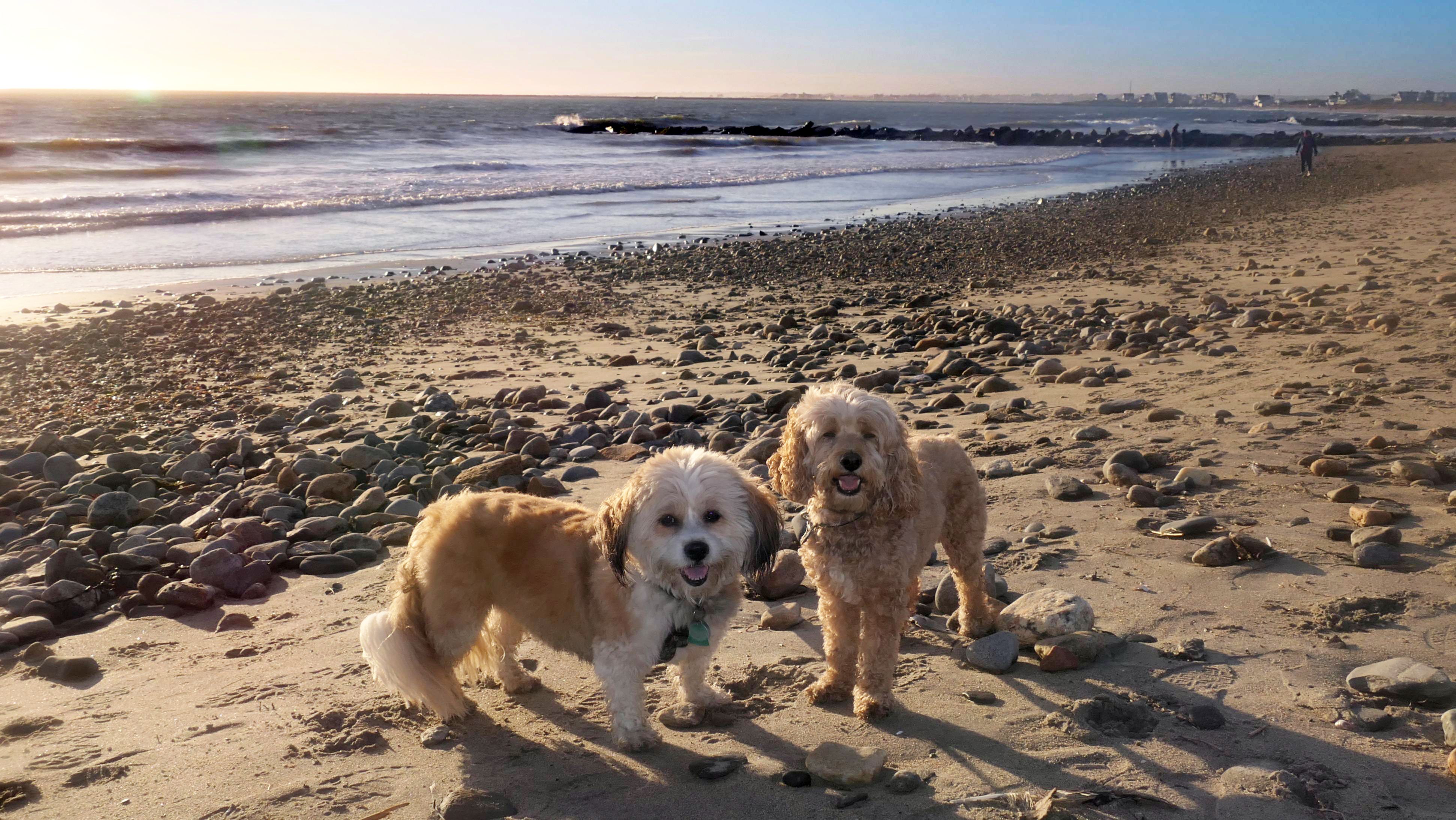
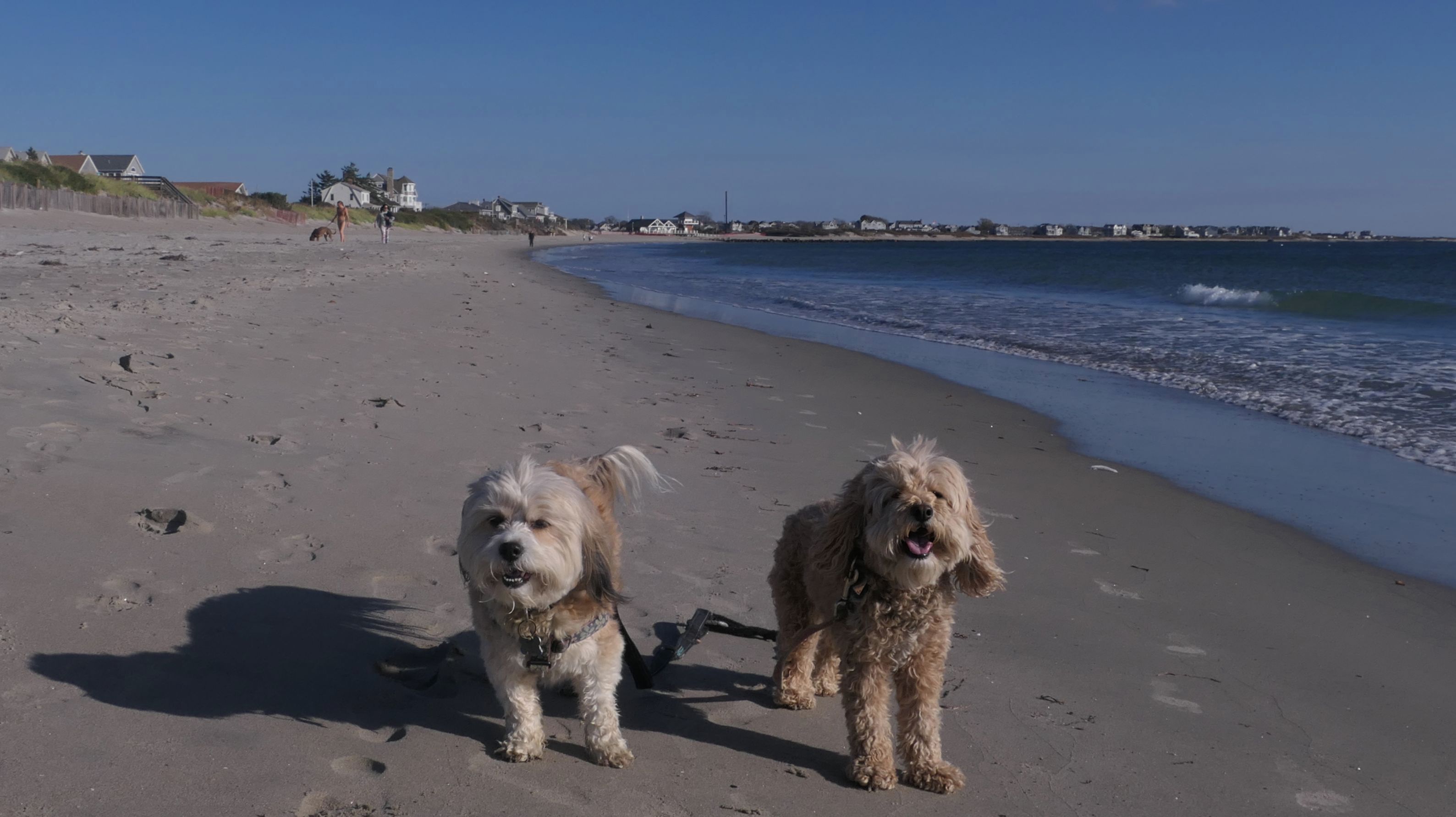
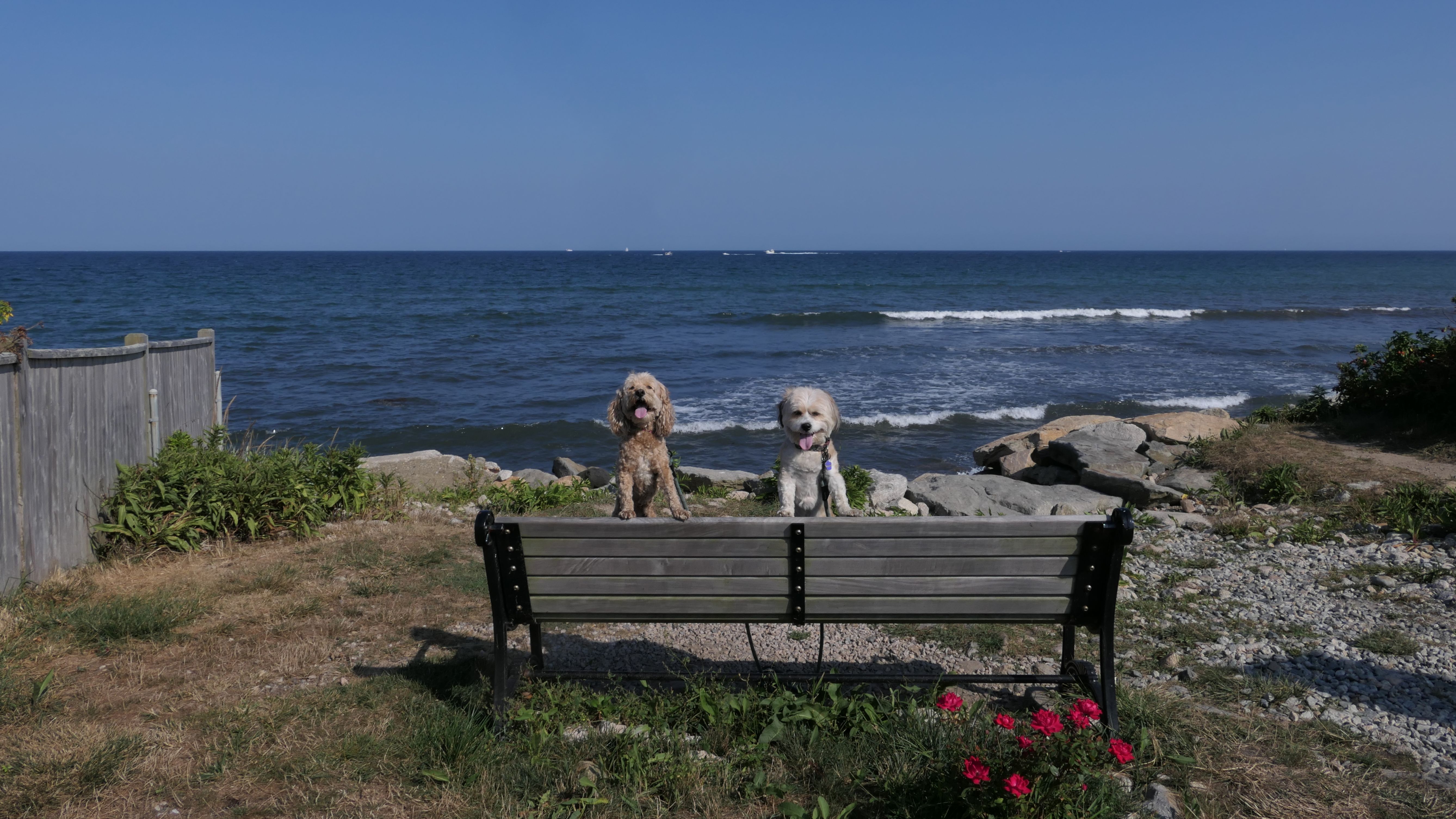
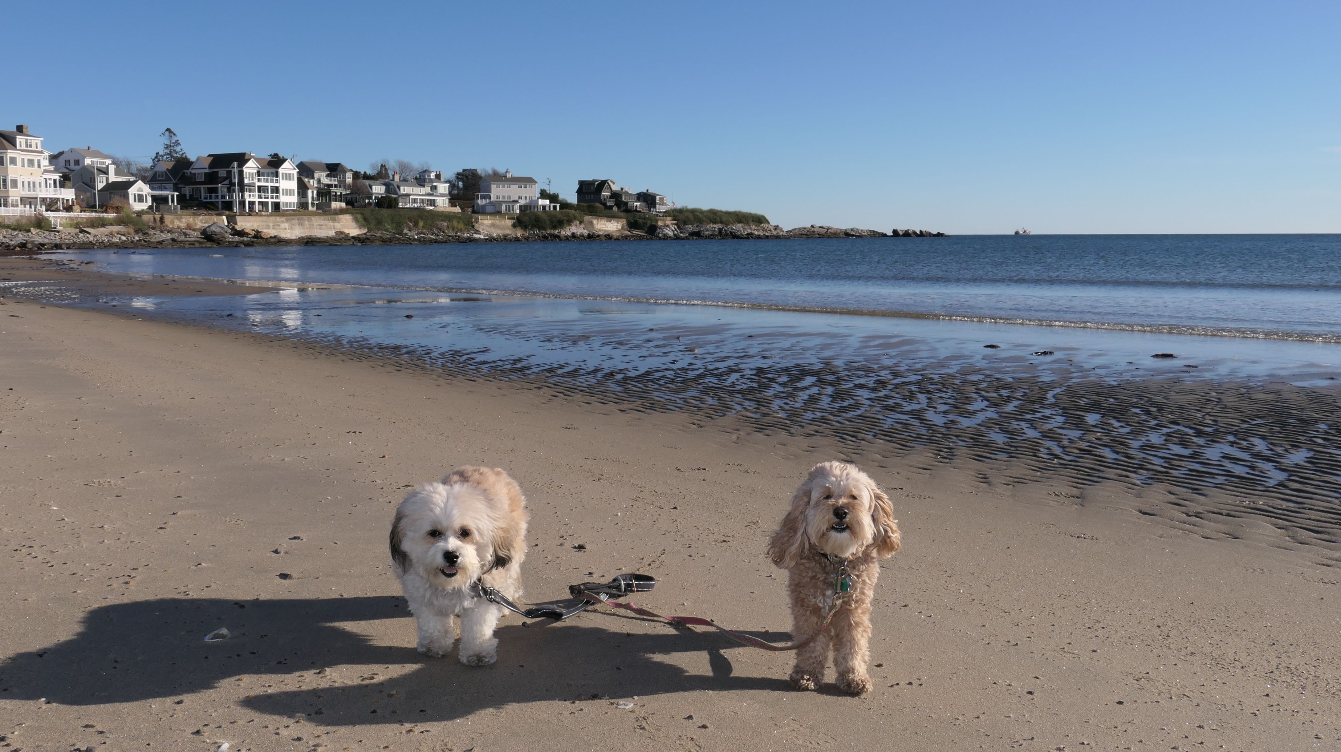
Scarborough South State Beach
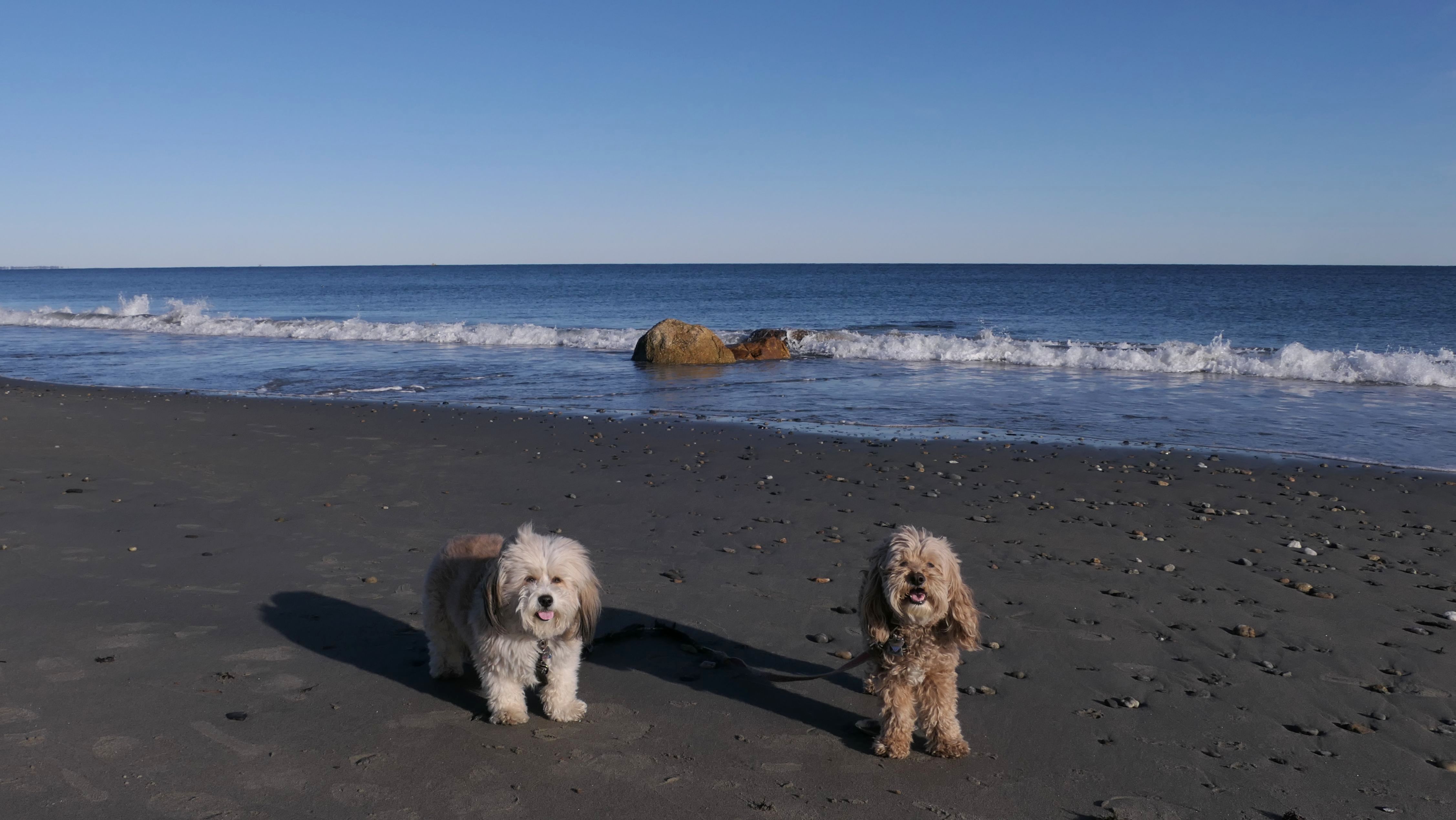
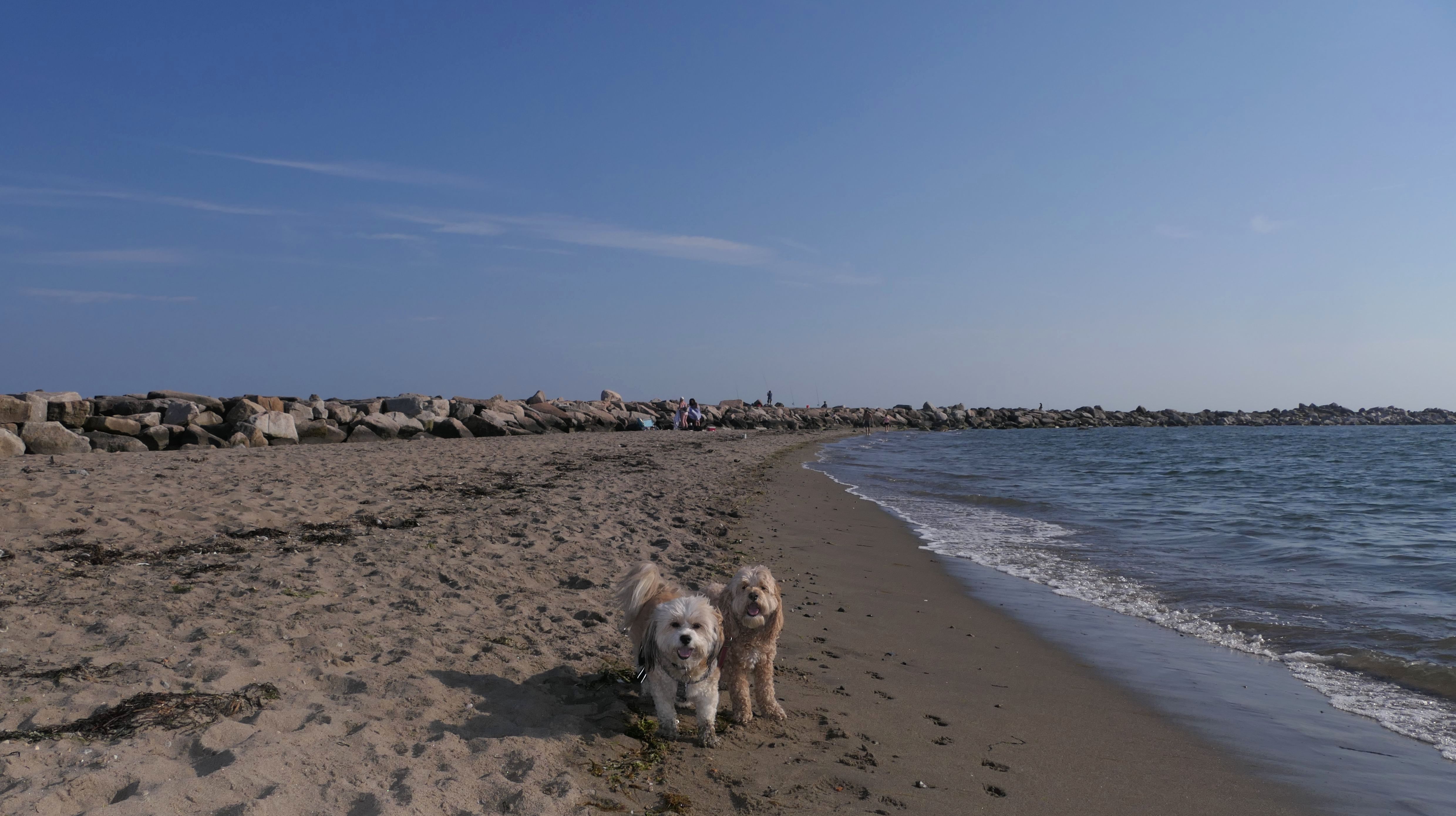
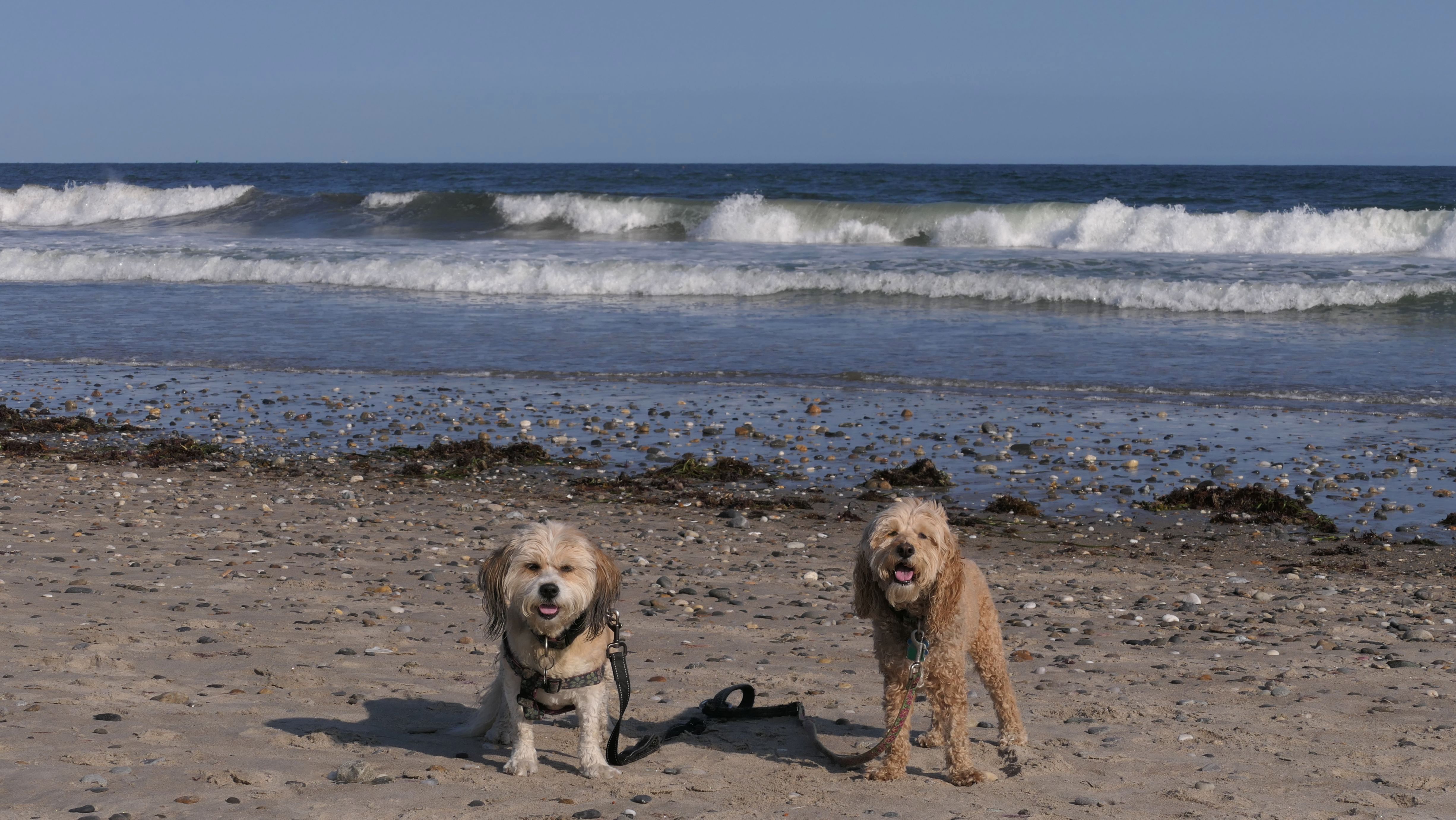
Date visited: 3/26/2023
It was the last weekend of doggie beach season. Most beaches, including the State Beaches in Connecticut and Rhode Island, don't allow dogs after March. This was the last state beach in Rhode Island that we had not visited. It is connected to the North Beach, so we wound up walking the length of both beaches. The South Beach has a rocky area on the end that made for some nice photos. Temps were in the mid 50's and it was very windy, but that didn't stop the surfers wearing wet suits, as well as college students in bathing suits running into the ocean! Of course, Mandy also went into the water, despite it being cold. Lexi was having no part of it today.
More Images
Scarborough South State Beach
Date visited: 11/29/2024
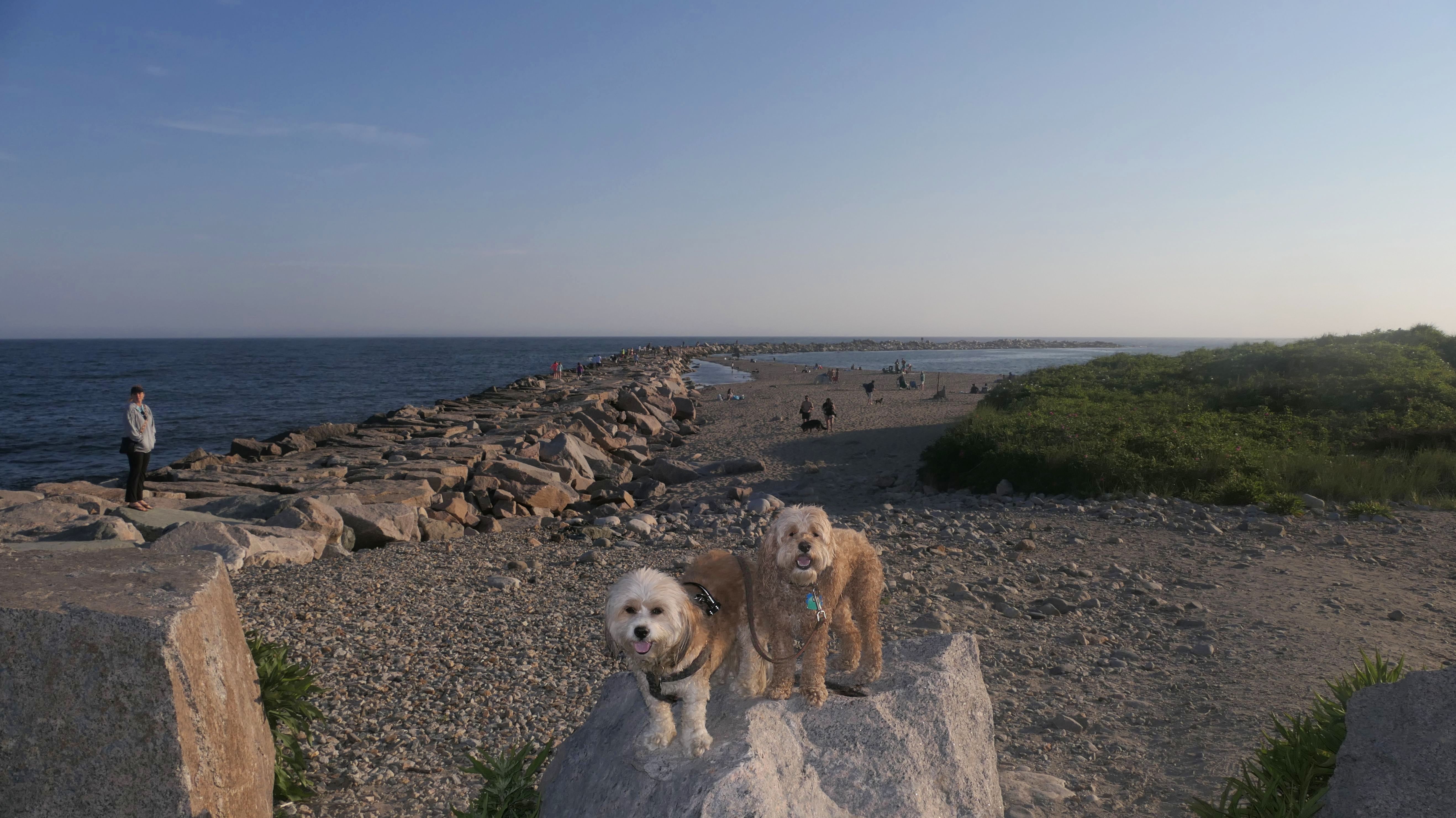
For this visit, we headed south past the sandy beach on to the rocky area past the jetty. We had not visited this section of the beach before. We were able to continue for about a third of a mile. We reached another sandy spot, and we were able to make it a little bit further on the rocks before it became impossible to continue. We turned around and headed back, walking just over a mile and a half at this beach on this day.
More Images
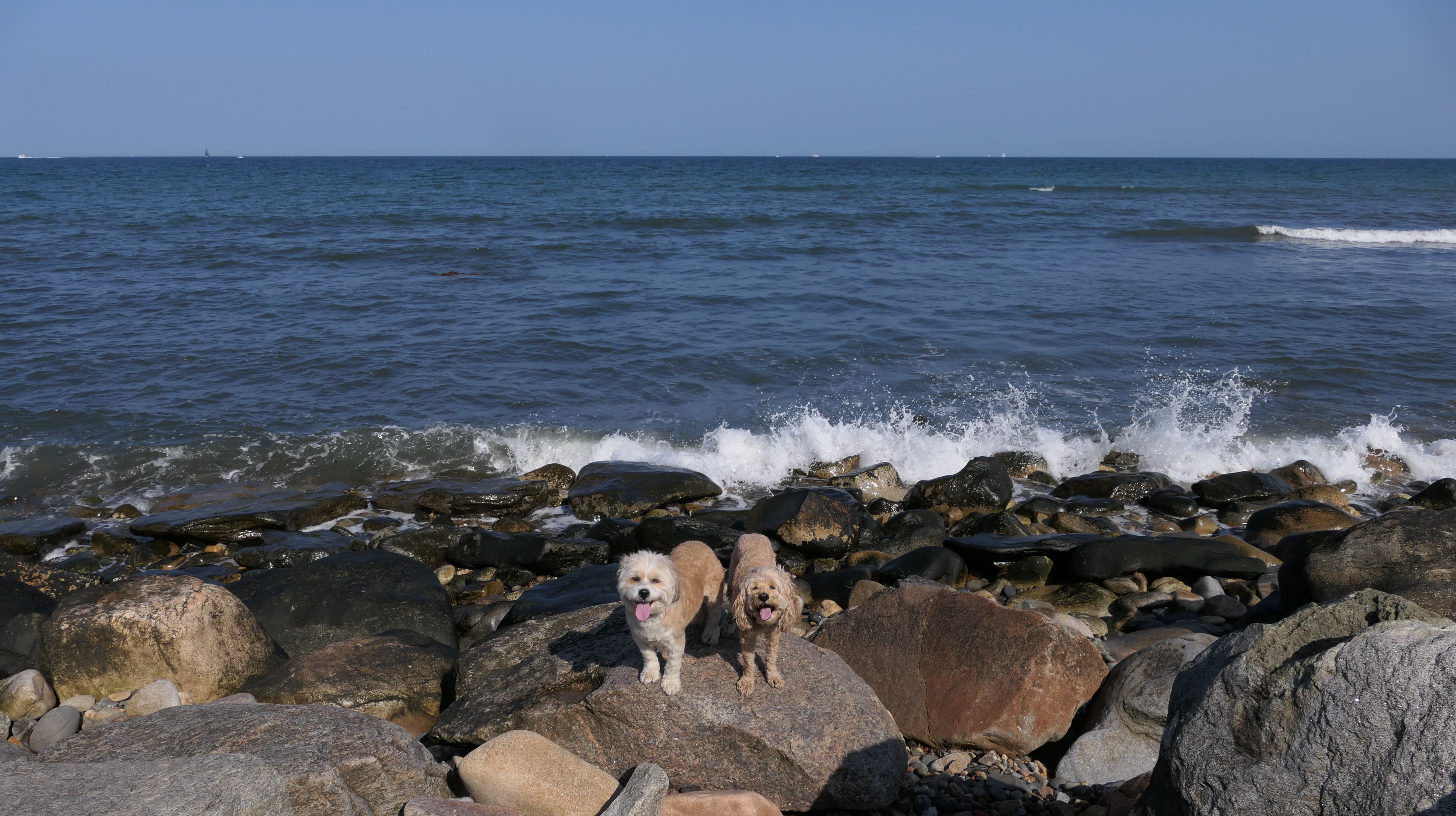
Scarborough South State Beach
Date visited: 8/27/2025
We parked near the intersection of Ocean Avenue and Point Judith Road, and walked to the access point on Major Arnold Road. We walked along the rocky shoreline until we hit the beach. Despite being a beautiful evening, the beach was practically deserted. Mandy and Lexi got to run around a bit.
More Images
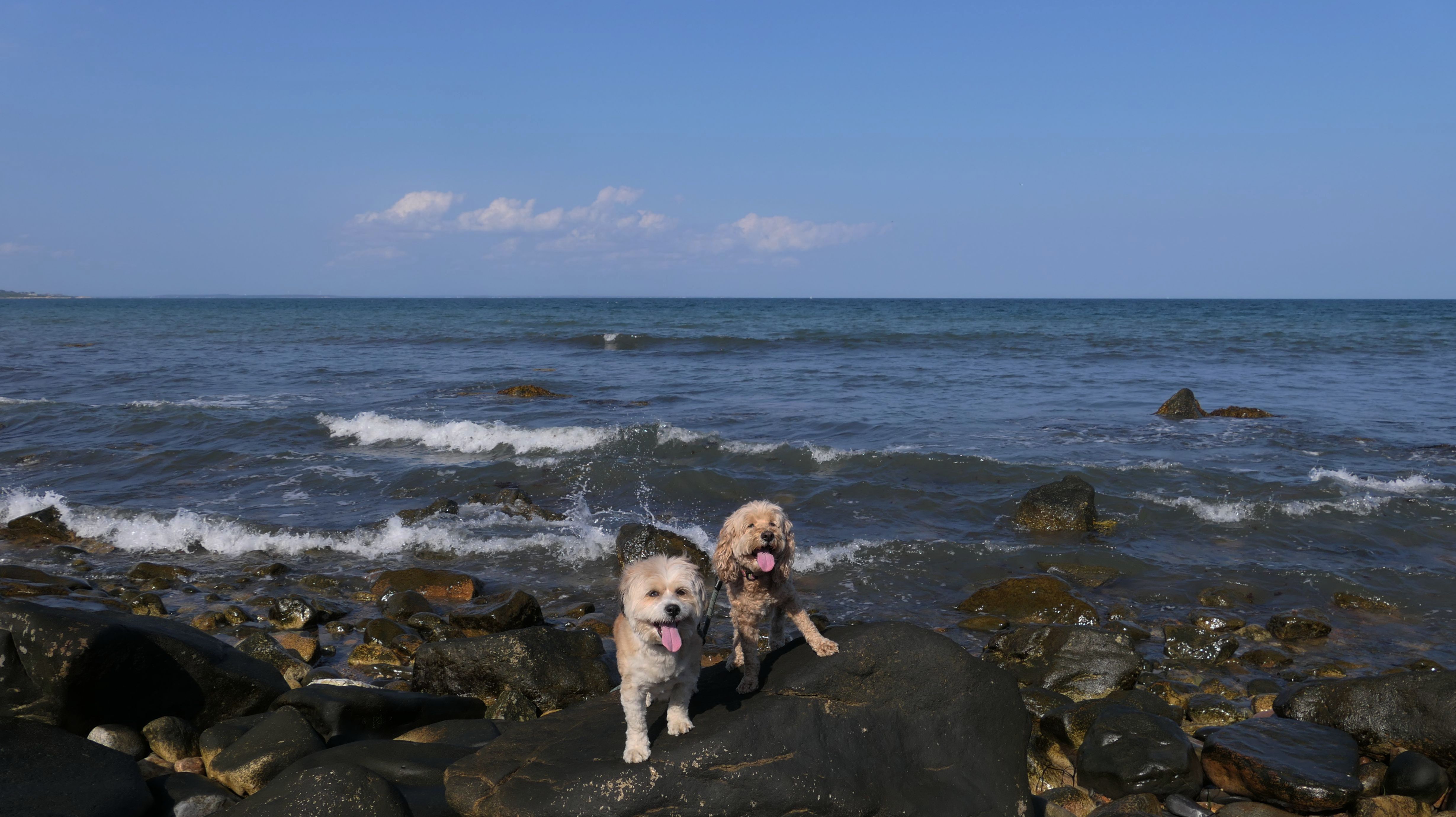
Scarborough South State Beach
Date visited: 3/21/2026
We came down here after attending the St. Patrick's Day Parade in Providence. It was a beautiful spring afternoon. We only walked about a mile here this time around, but we used the opportunity to enjoy the sunshine and ocean air.
More Images
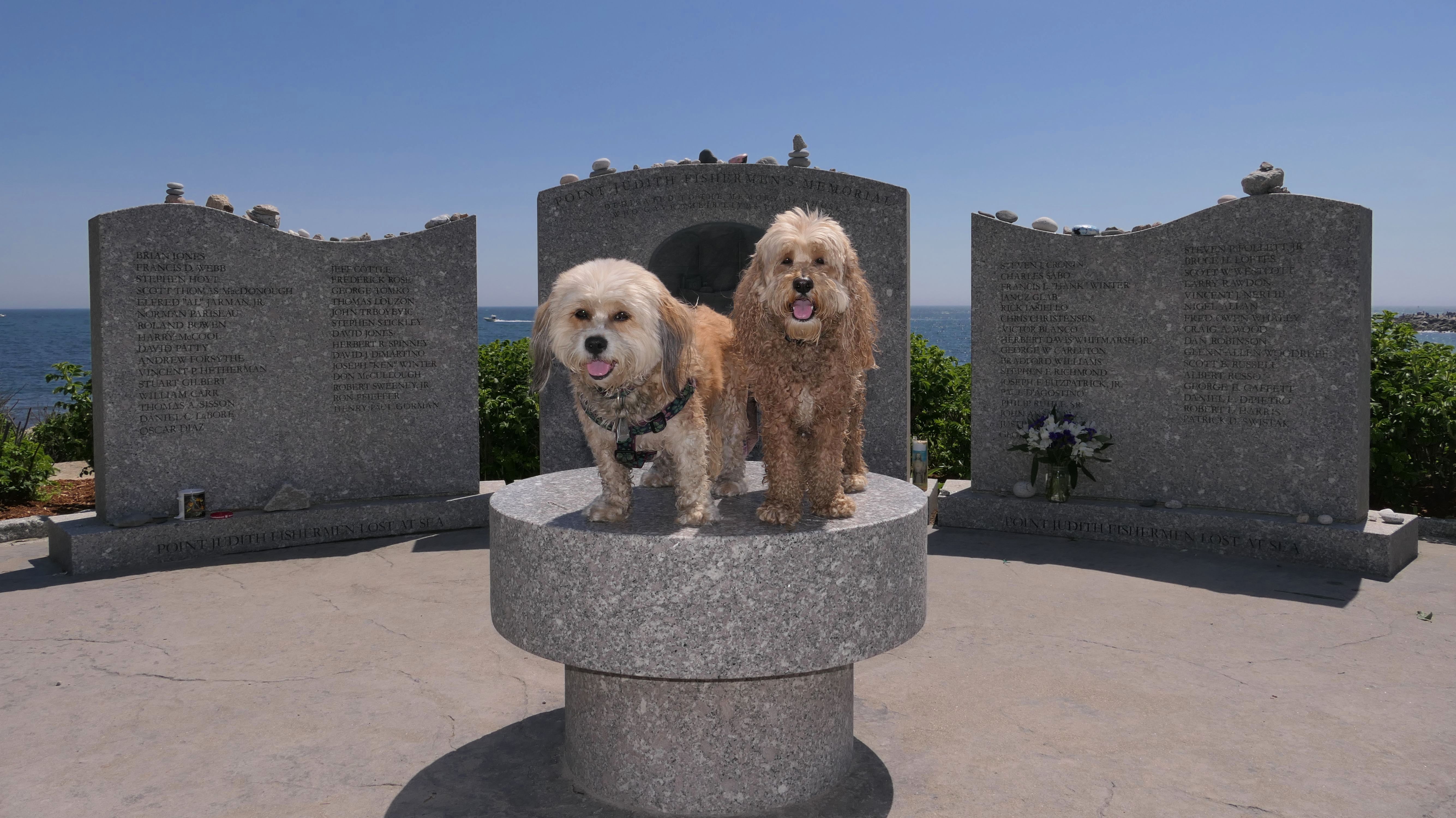
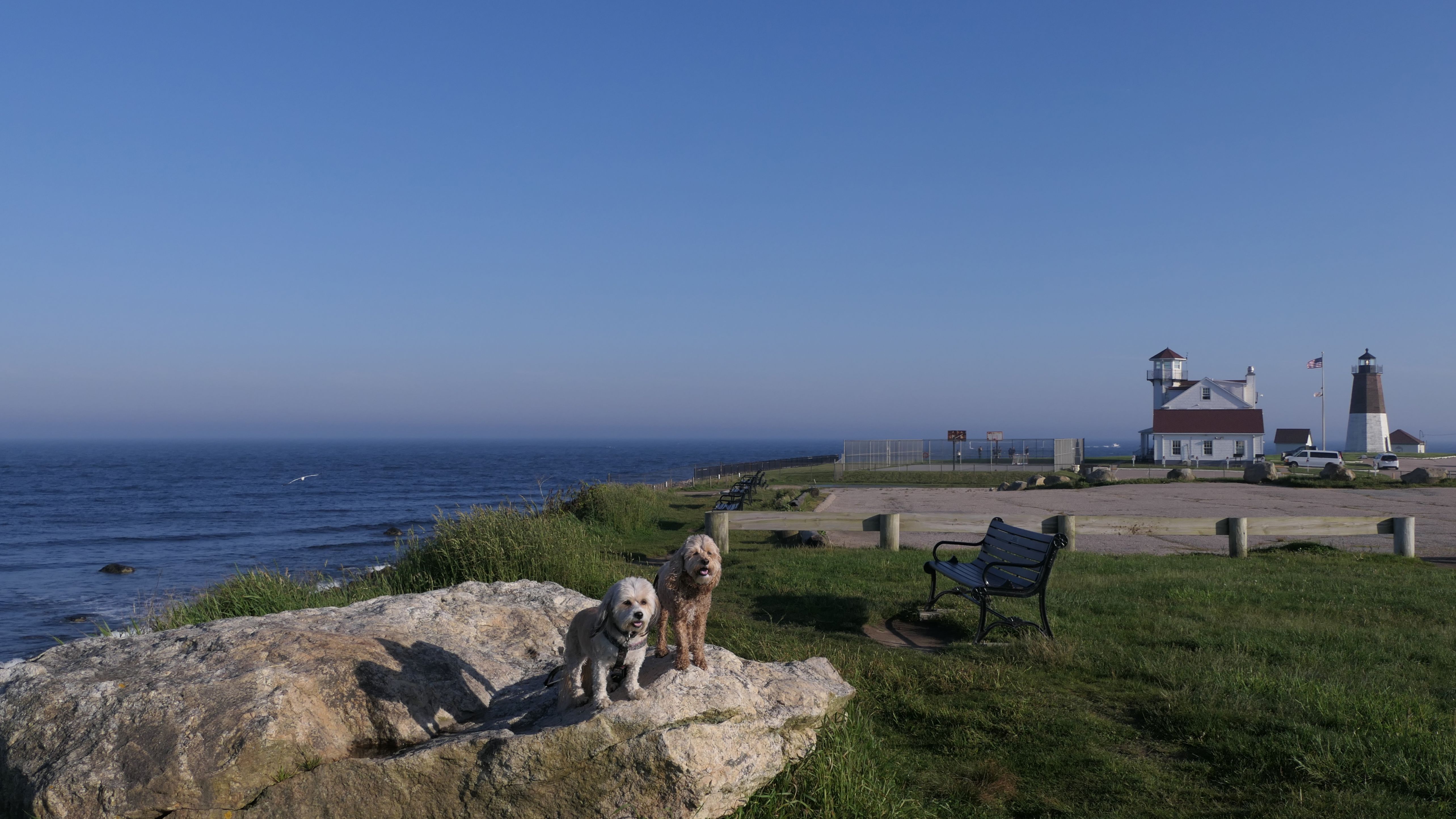
Camp Cronin Fishing Area & Beach
Date visited: 5/30/2022
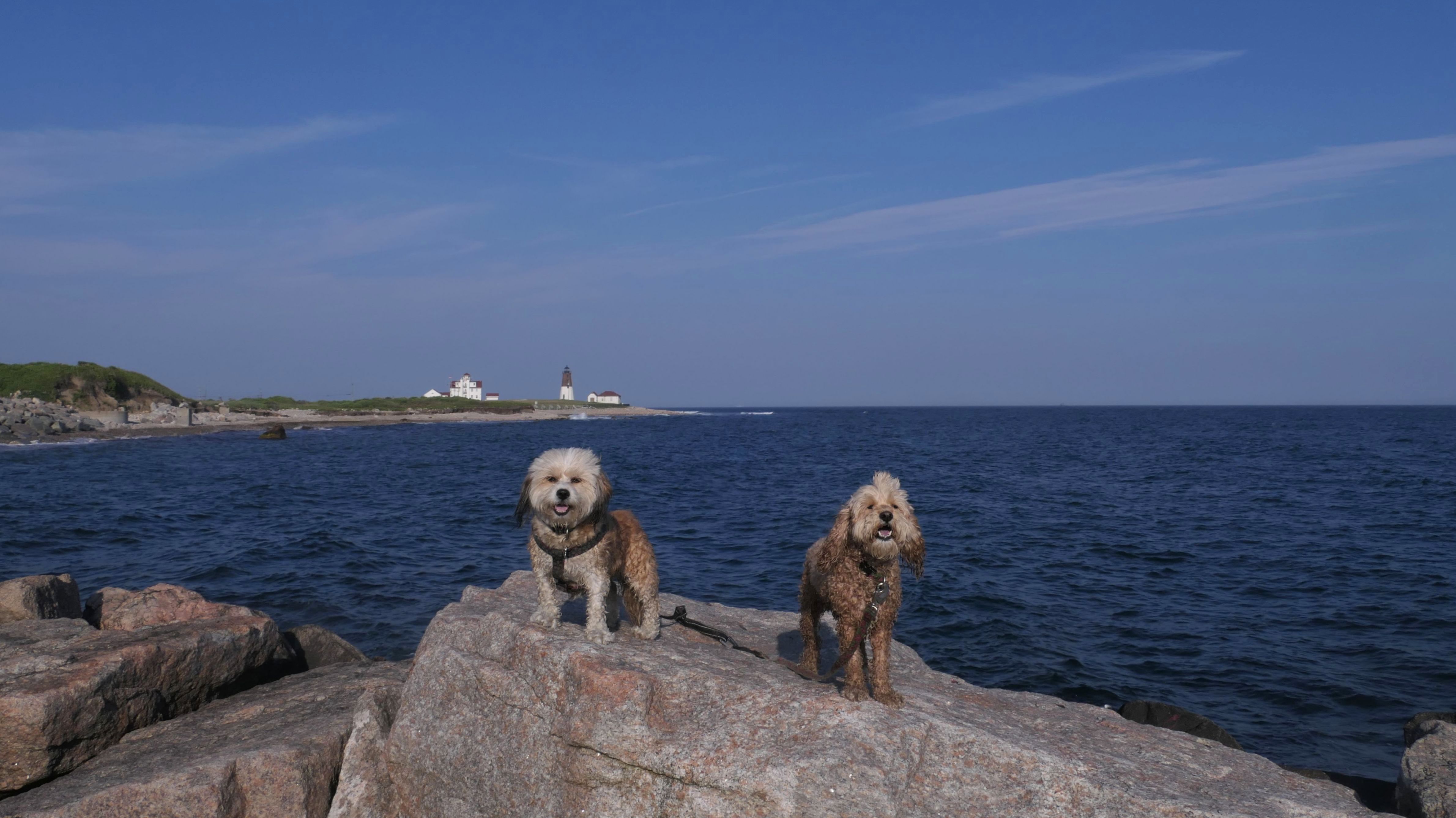
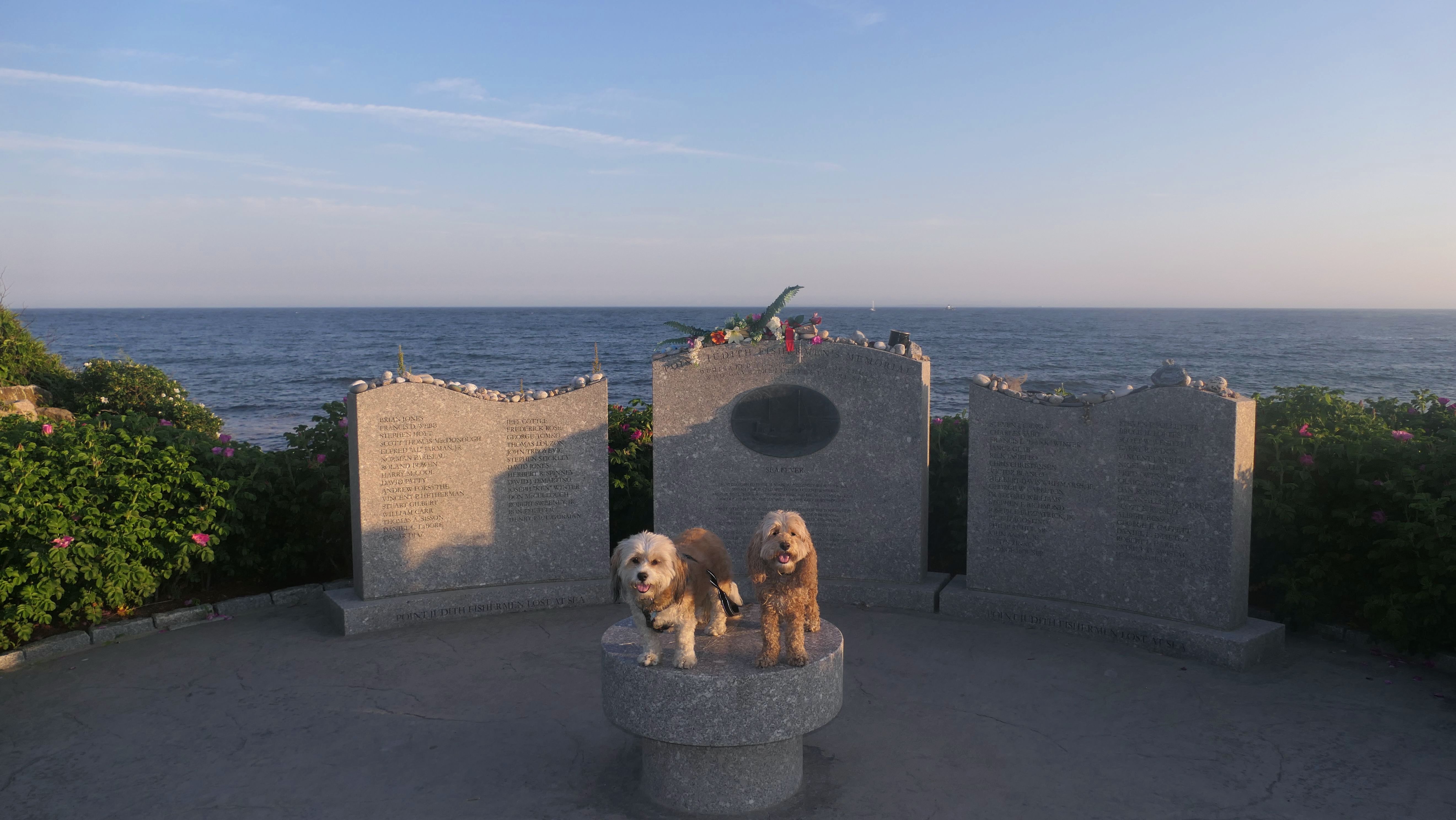
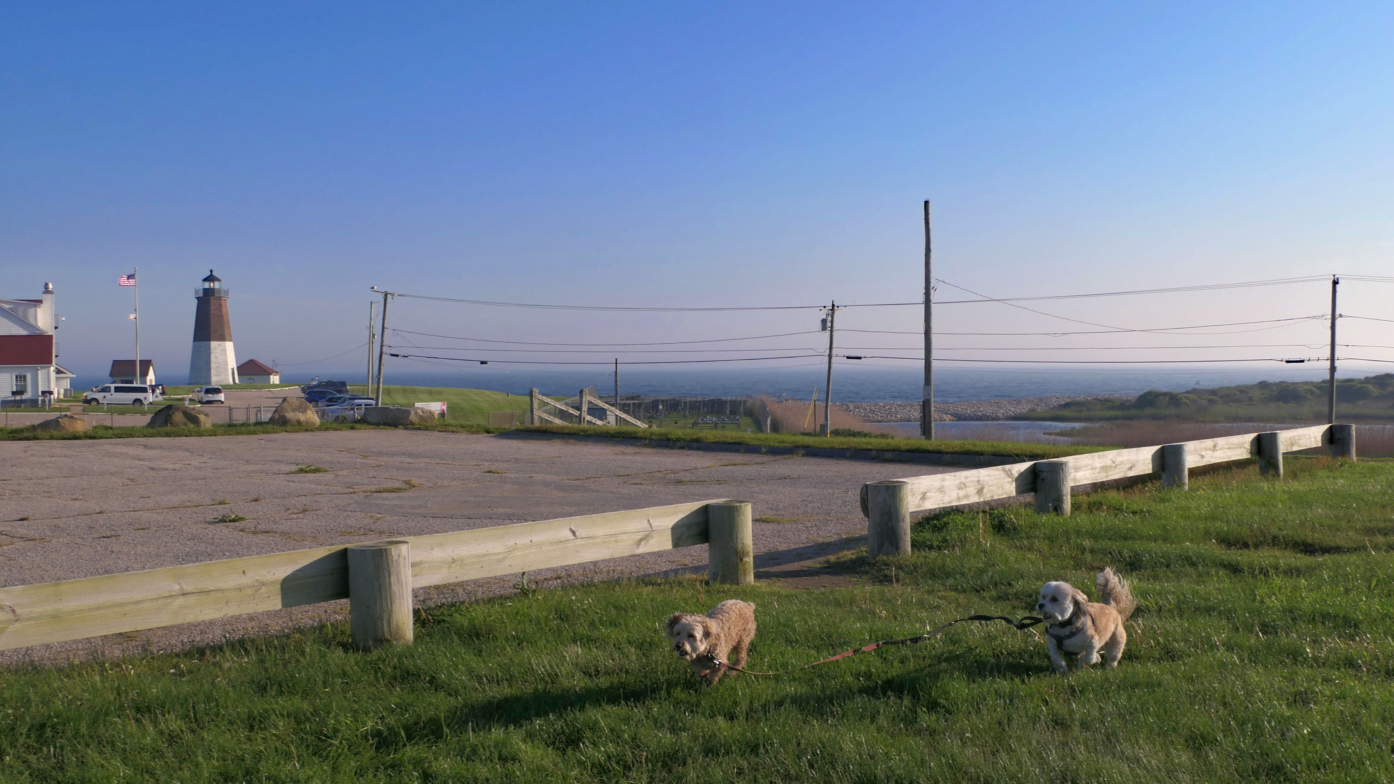
This is another very nice spot in Rhode Island that allows dogs at the beach year round! This is primarily a fishing spot. There were many people on the point fishing. There is a nice overlook area, with views of the lighthouse, as well as a monument dedicated to those who were lost on fishing boats. Of course there is a small beach area too, which was packed. We had to park on the road and walk about a half mile to get to the point. I saw an officer ticketing cars that were parked incorrectly, so I'm glad we parked on the road.
More Images
Camp Cronin Fishing Area & Beach
Date visited: 6/29/2023
Our second visit here was 13 months after our first. It was still crowded, but this time there were more people fishing than on the beach. We arrived about an hour before sunset. Initially, we tried to walk the rock jetty, but it was hard to navigate the rocks with so many people fishing from them. As the jetty went farther out, it got too dangerous for the dogs. So we just hung around the beach for a while and enjoyed the sunset.
More Images
Camp Cronin Fishing Area & Beach
Date visited: 6/20/2024
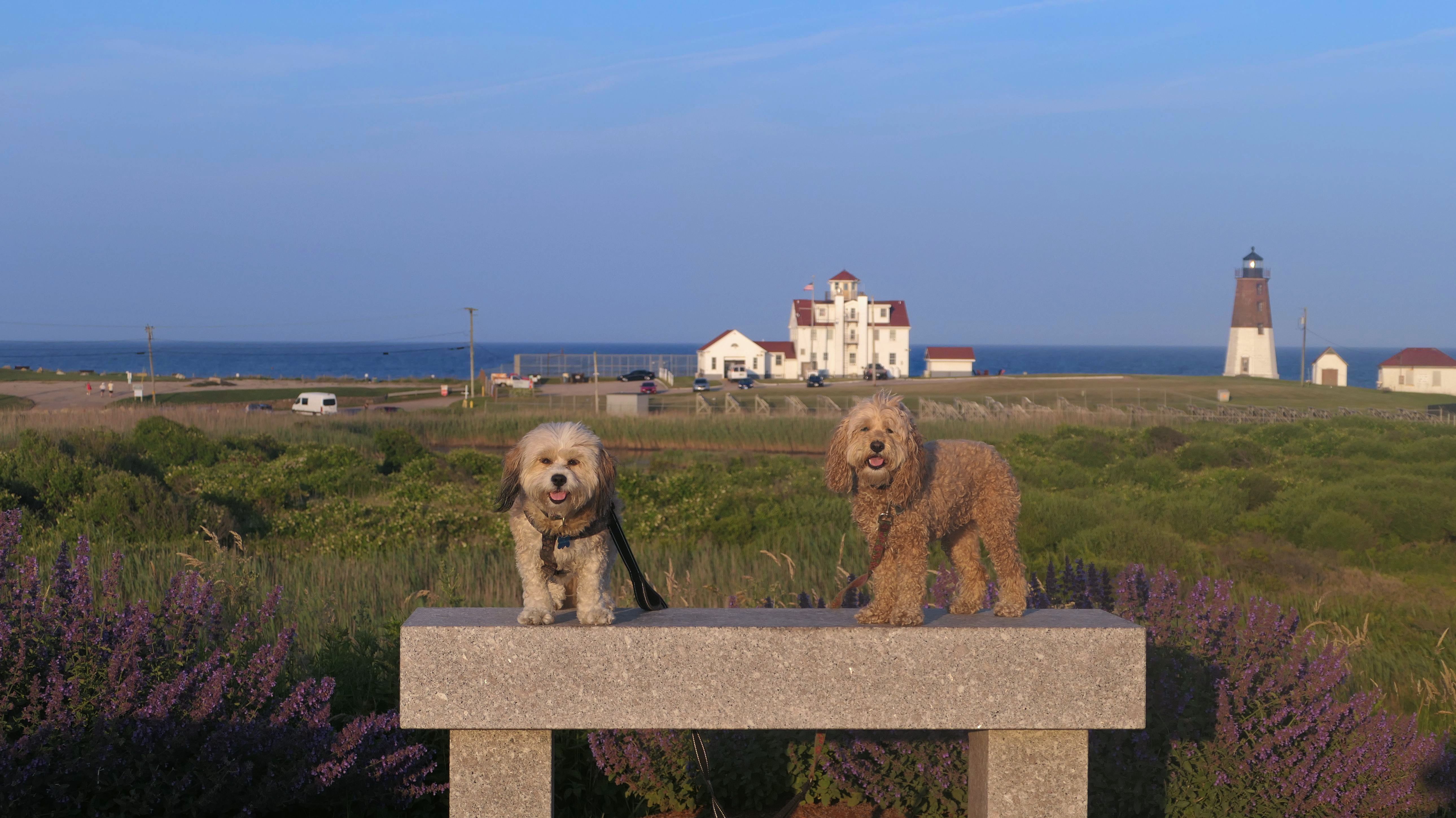
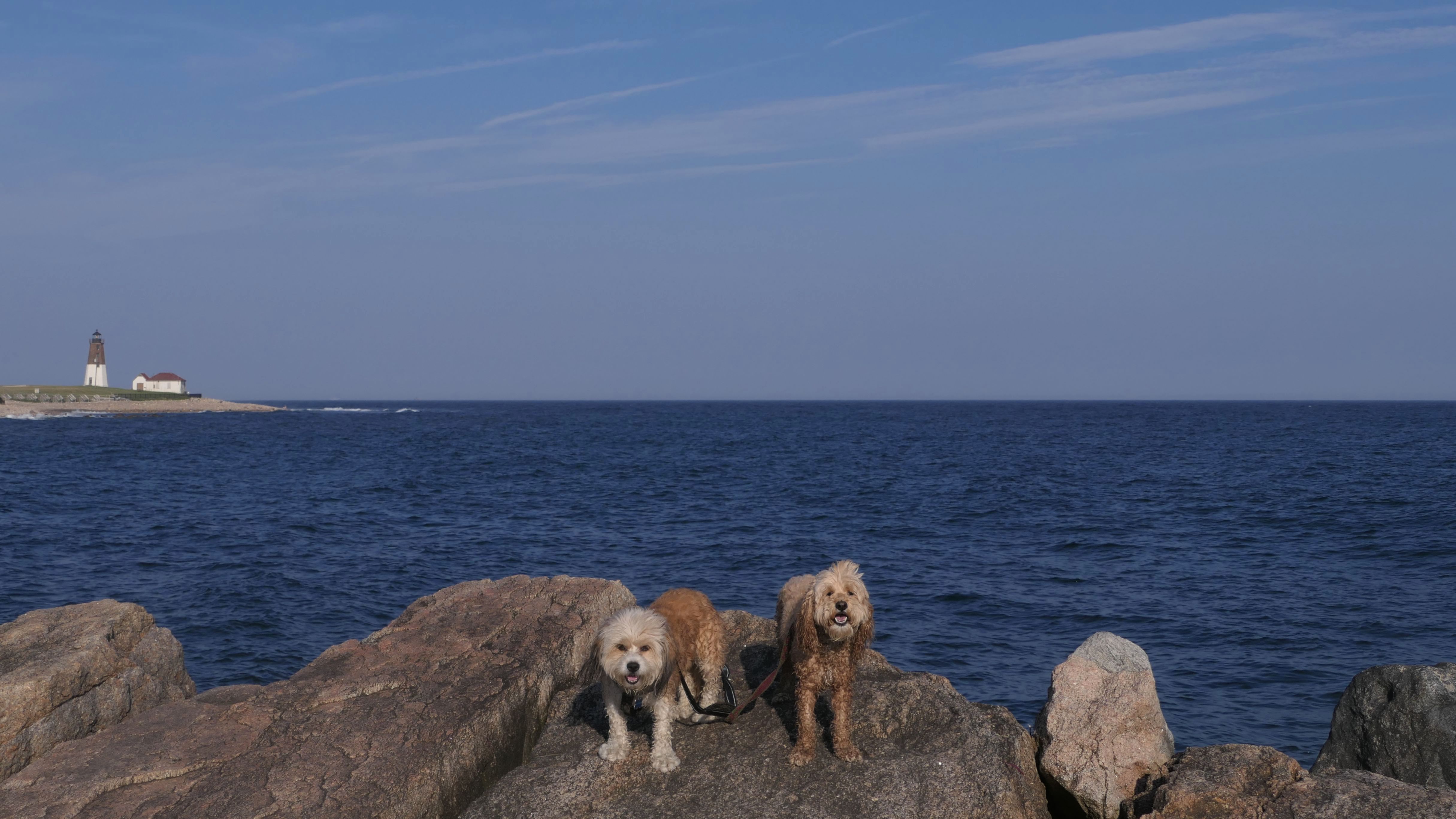
This is such a wonderful spot! We visited this beach for the third year in a row. This time it was the summer solstice, and the longest day of the year. That gave us time to drive here after work, and escape the brutal heat and humidity inland. It was a perfect 72 degrees and sunny when we arrived a little after 5:30PM. The beach was moderately crowded when we arrived, but got busier as the evening progressed. The jetty here sticks out and curves around, so the beach area has calm waters, while the waves really rip on the lighthouse side of the jetty. We did our usual activities here: explore the beach, cool off in the water, and walk the jetty. For this trip, we also got in a short hike in front of the Point Judith Lighthouse.
More Images
Camp Cronin Fishing Area & Beach
Date visited: 8/16/2024
This is one of our favorite spots in the area. For this visit, there was wildfire smoke in the upper atmosphere that really dimmed the sunlight. We walked on the jetty a bit, the dogs cooled off, and then they played on the beach. We also took a walk to Rose Nulman Park and back.
More Images
Camp Cronin Fishing Area & Beach
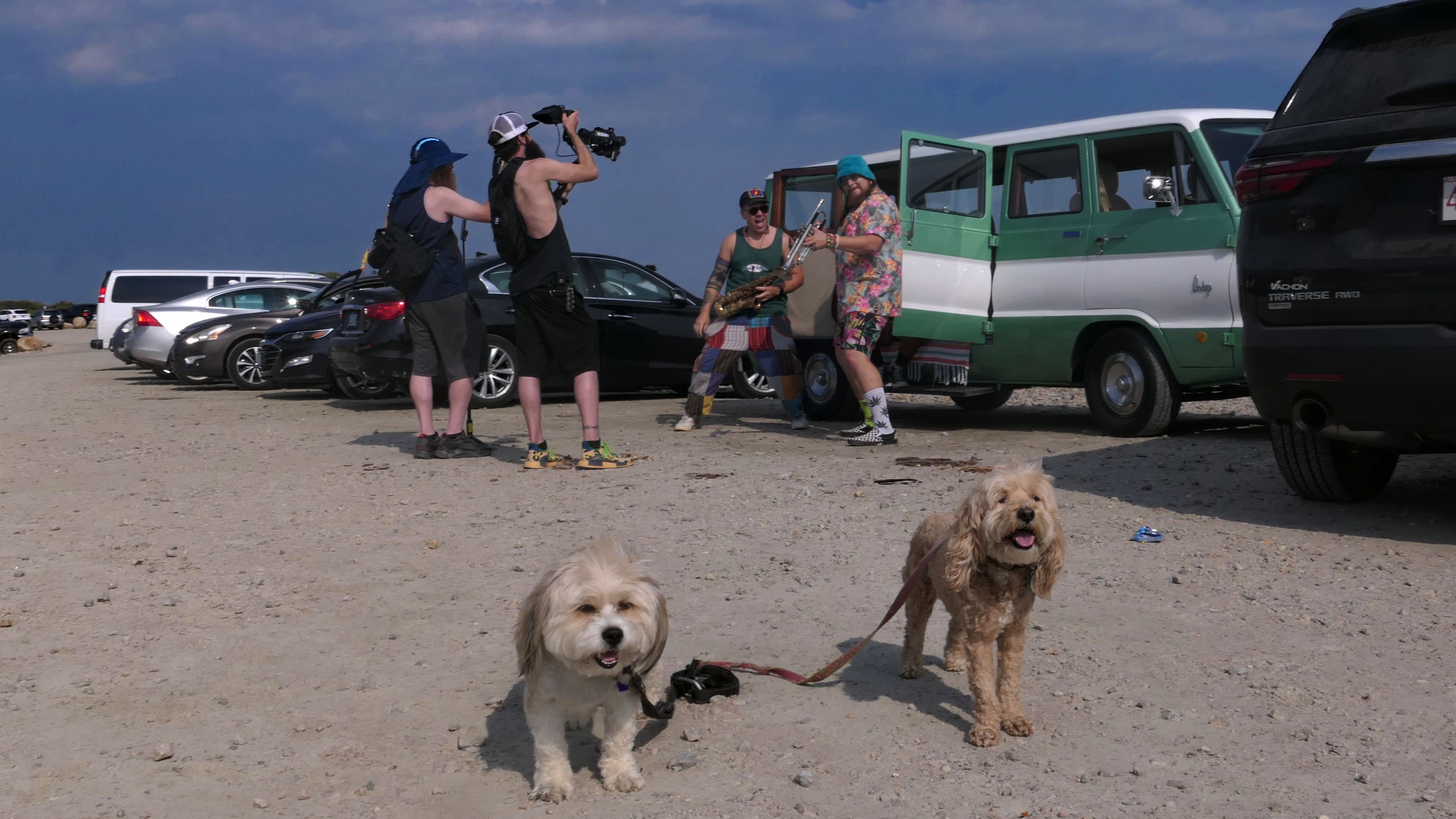
Date visited: 6/5/2025
It was a hot day, so we came down to this beach. As mentioned previously on this page, dogs are allowed year round here, and there is no parking fee. The lot was almost full, and the beach was pretty busy. I'm not sure what was going on with the two guys holding woodwind instruments. They weren't playing the instruments, so maybe they were shooting a video. We only stayed about a half hour or so this time around, as it started to get cloudy, so we went somewhere sunnier.
More Images
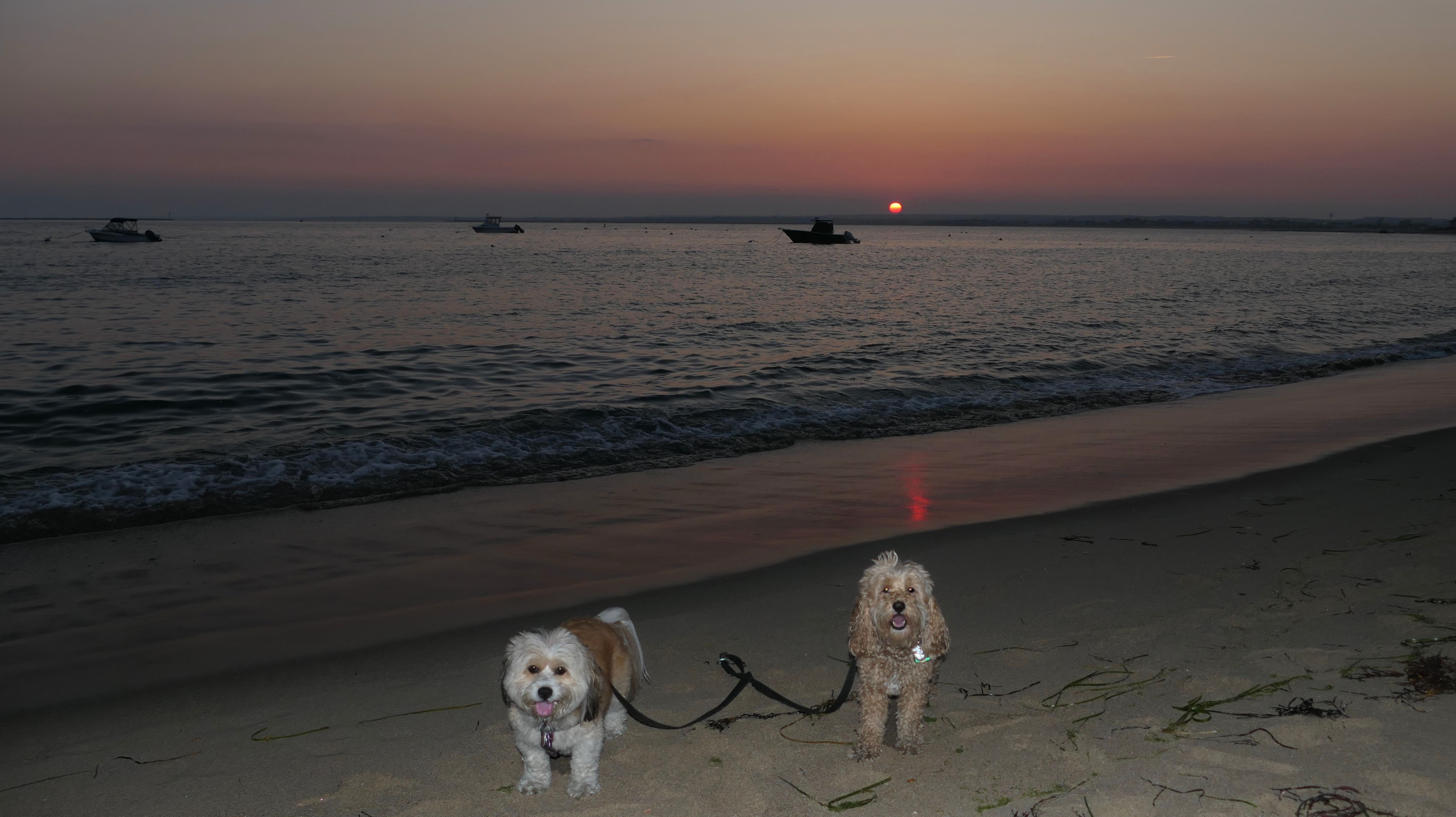
Camp Cronin Fishing Area & Beach
Date visited: 6/24/2025
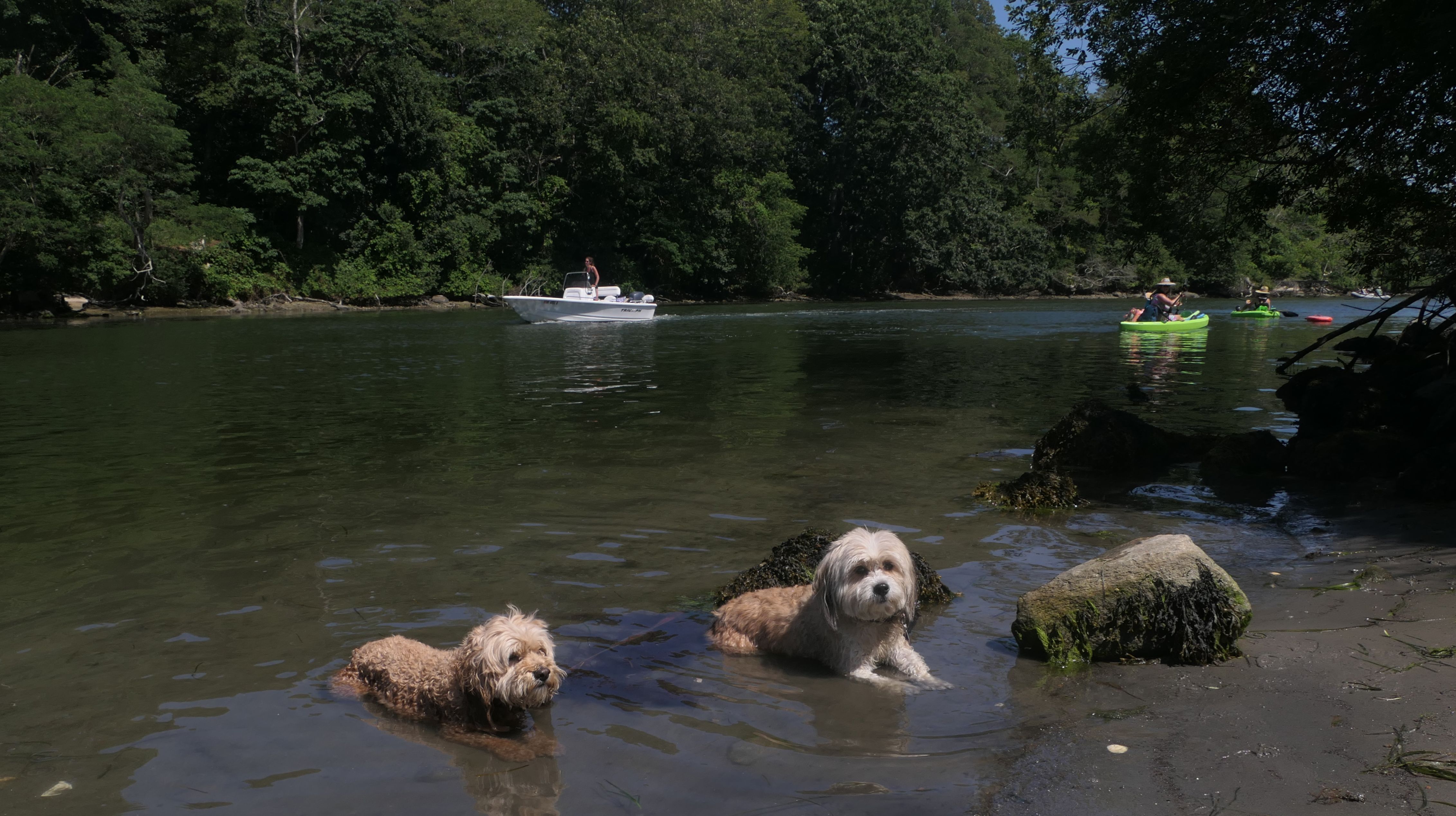
This was our third stop of the day, following visits to URI Narragansett Bay and Sprague Bridge Recreation Area. We've been here plenty of times in the past. This was the busiest I've ever seen it. We stayed on the beach for a bit, walking part of the jetty, before leaving because it was just too crowded. We headed to Watch Hill next.
More Images
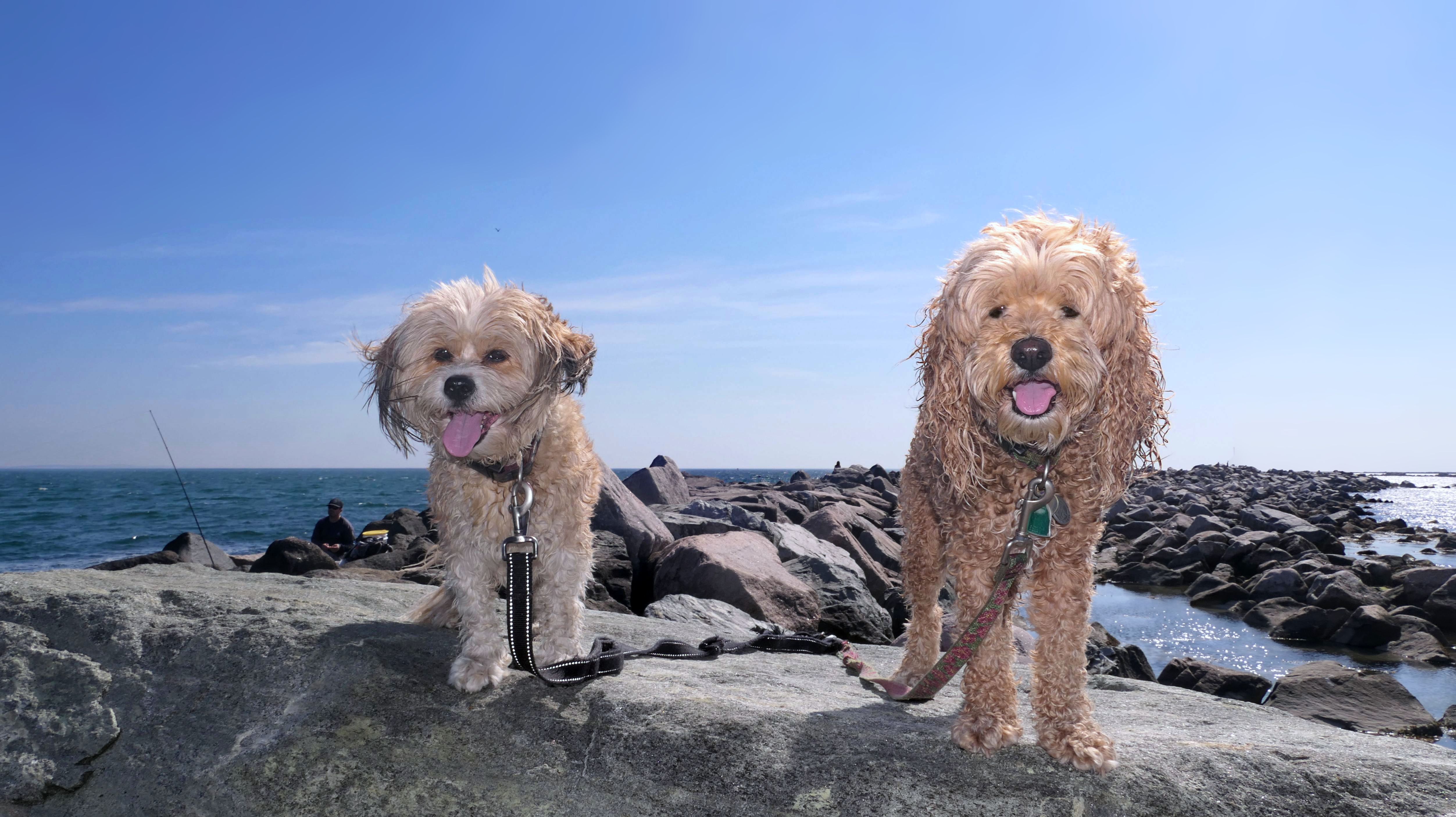
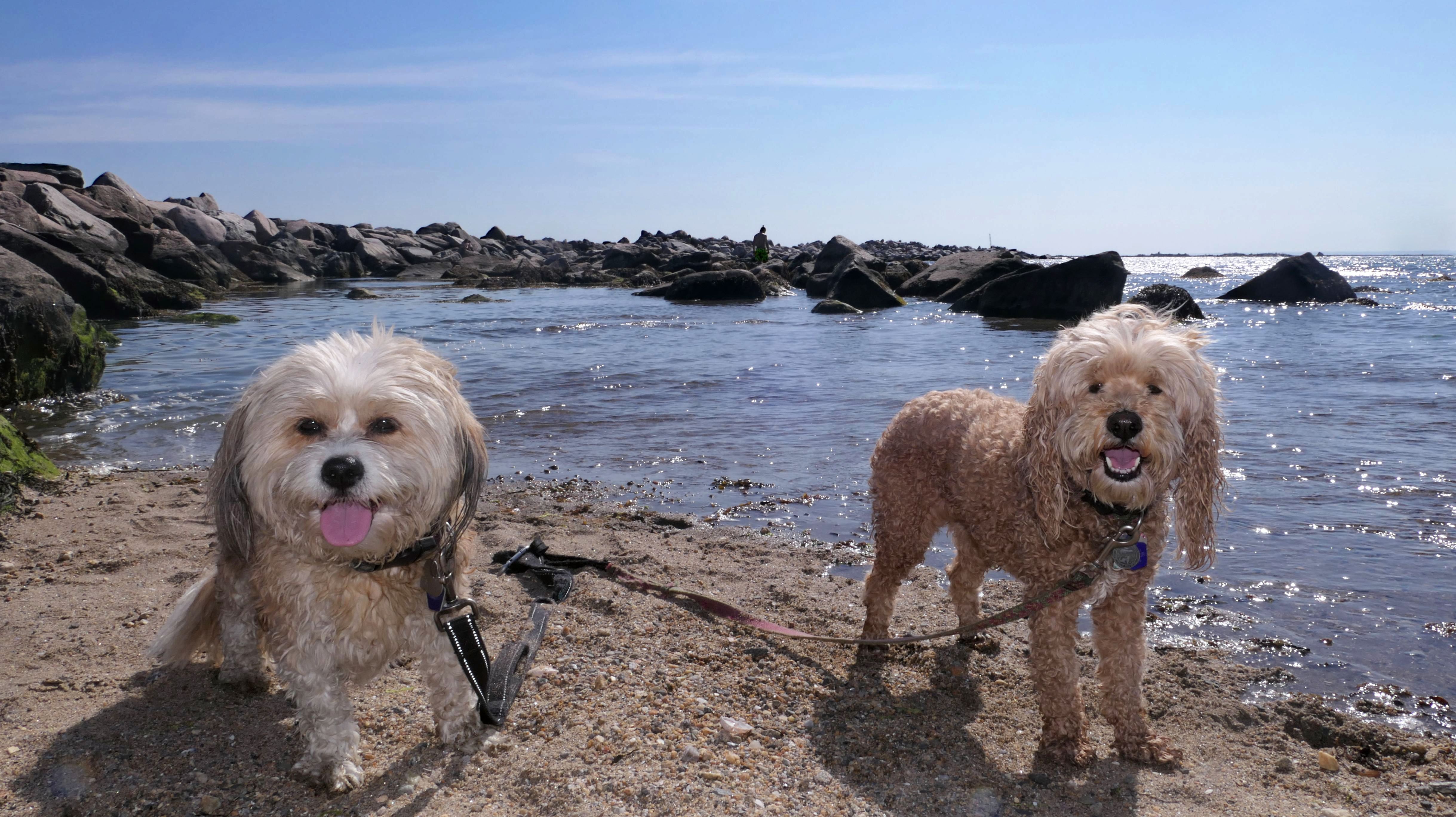
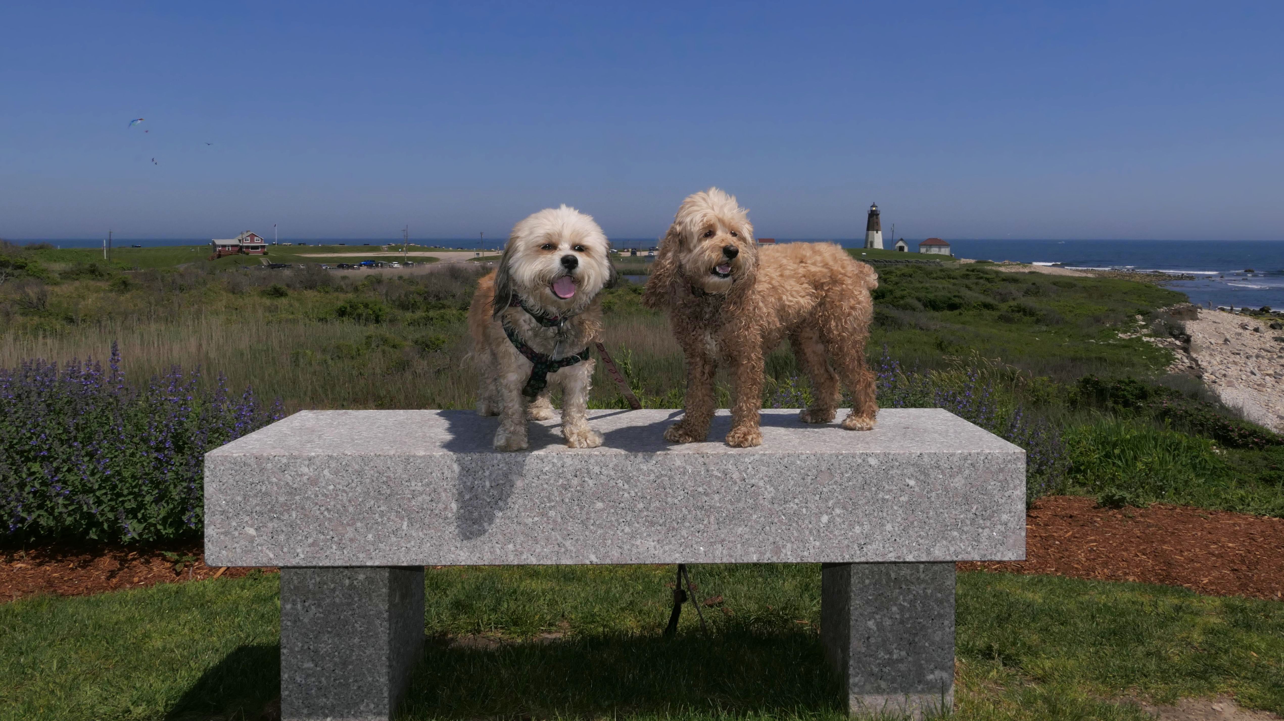
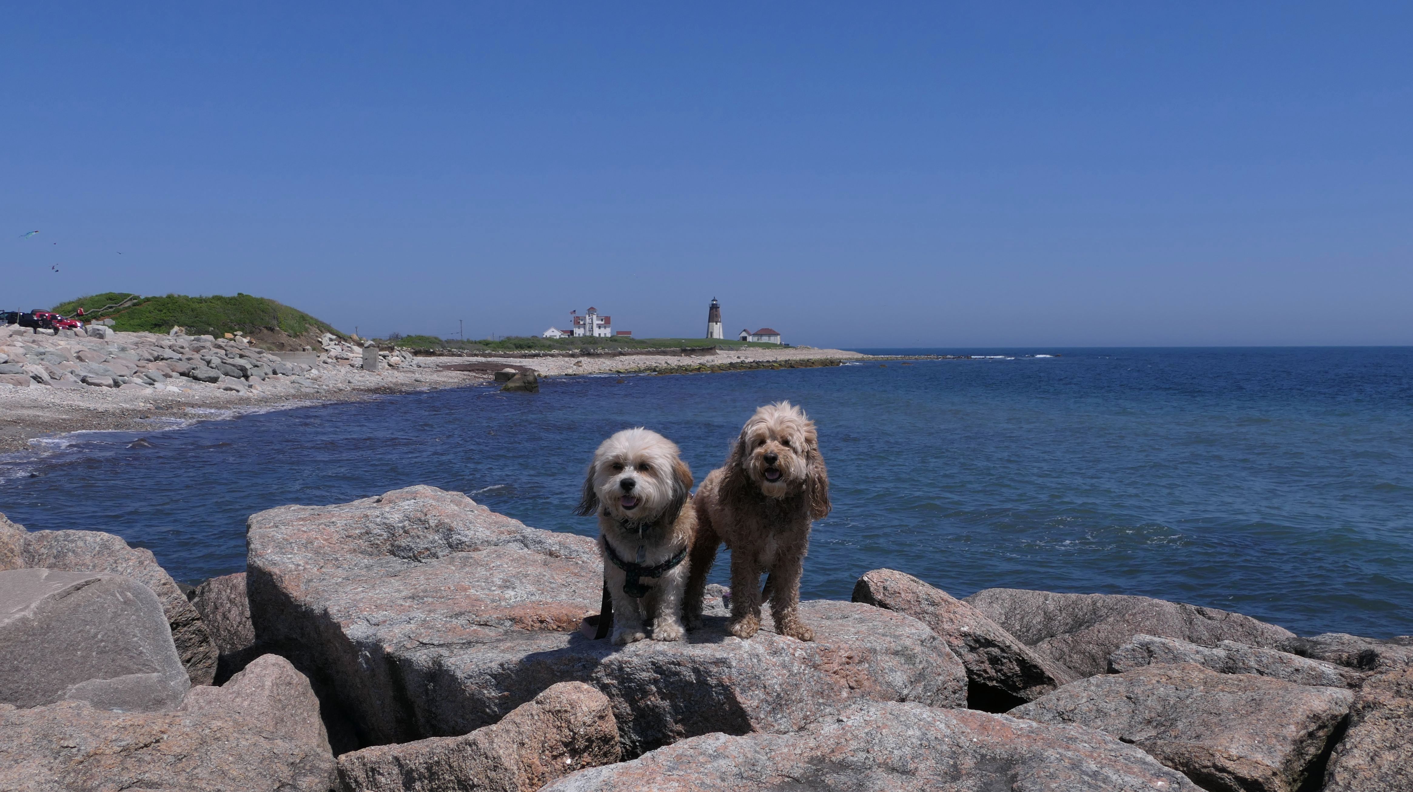
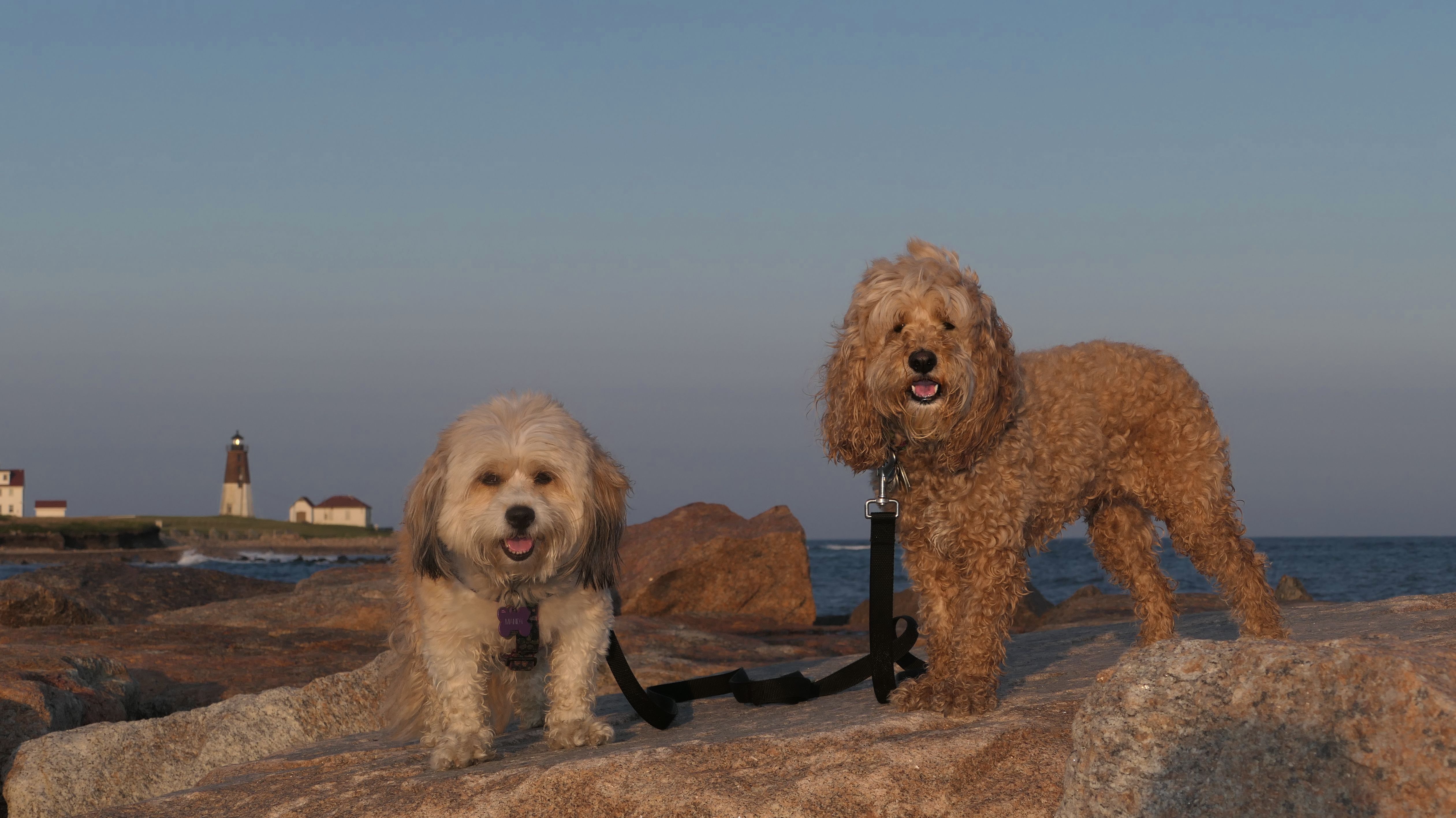
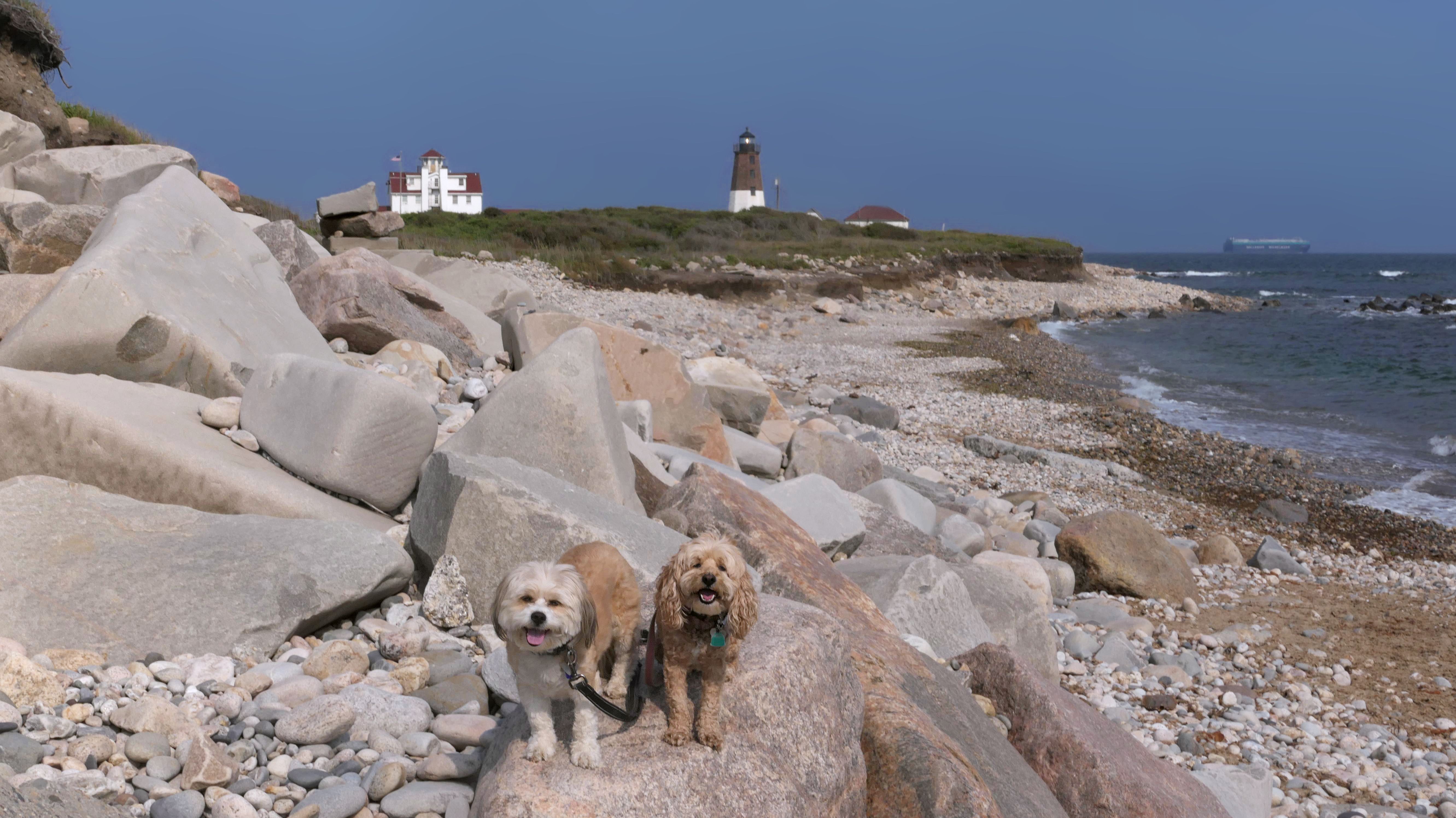
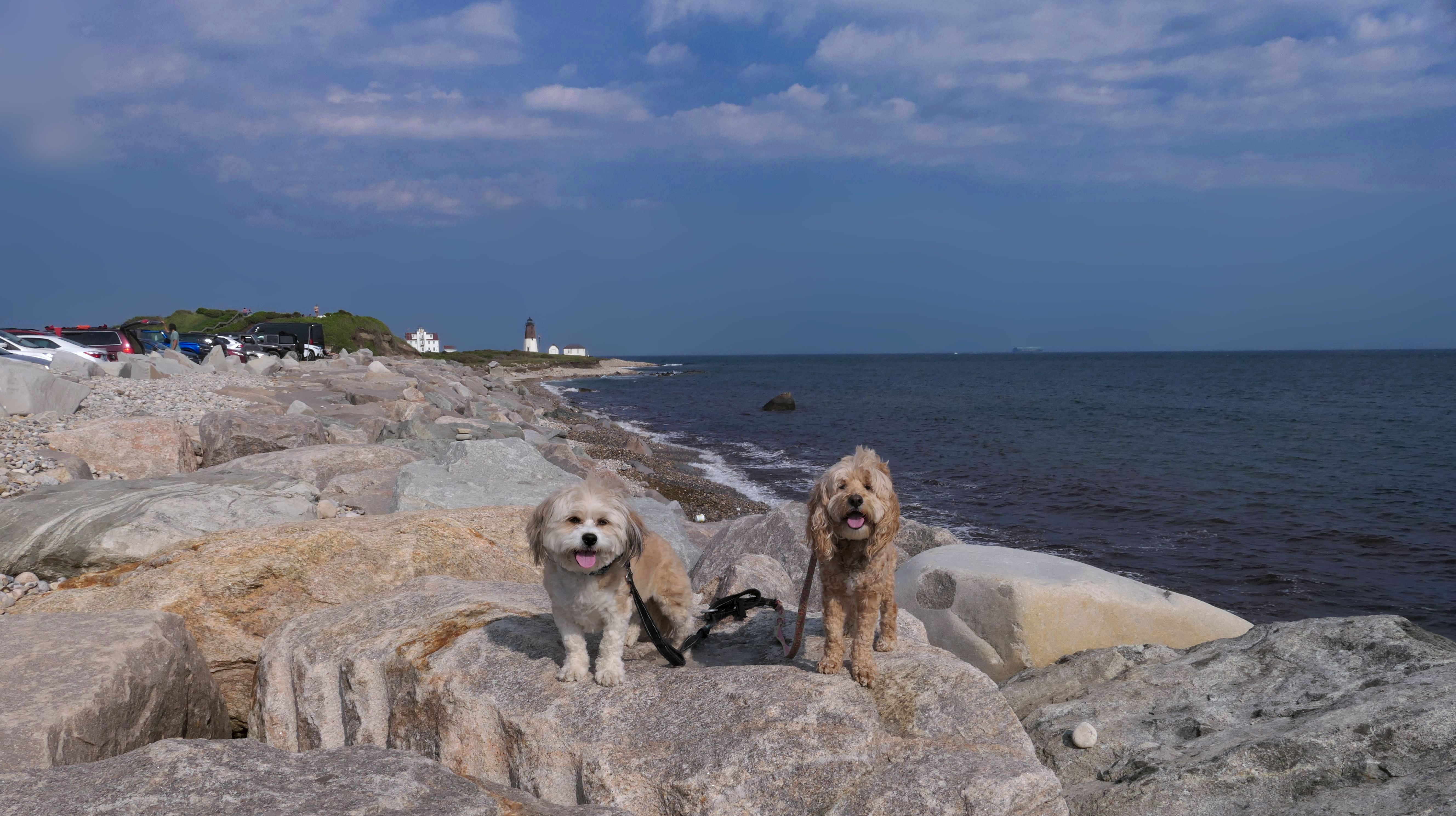
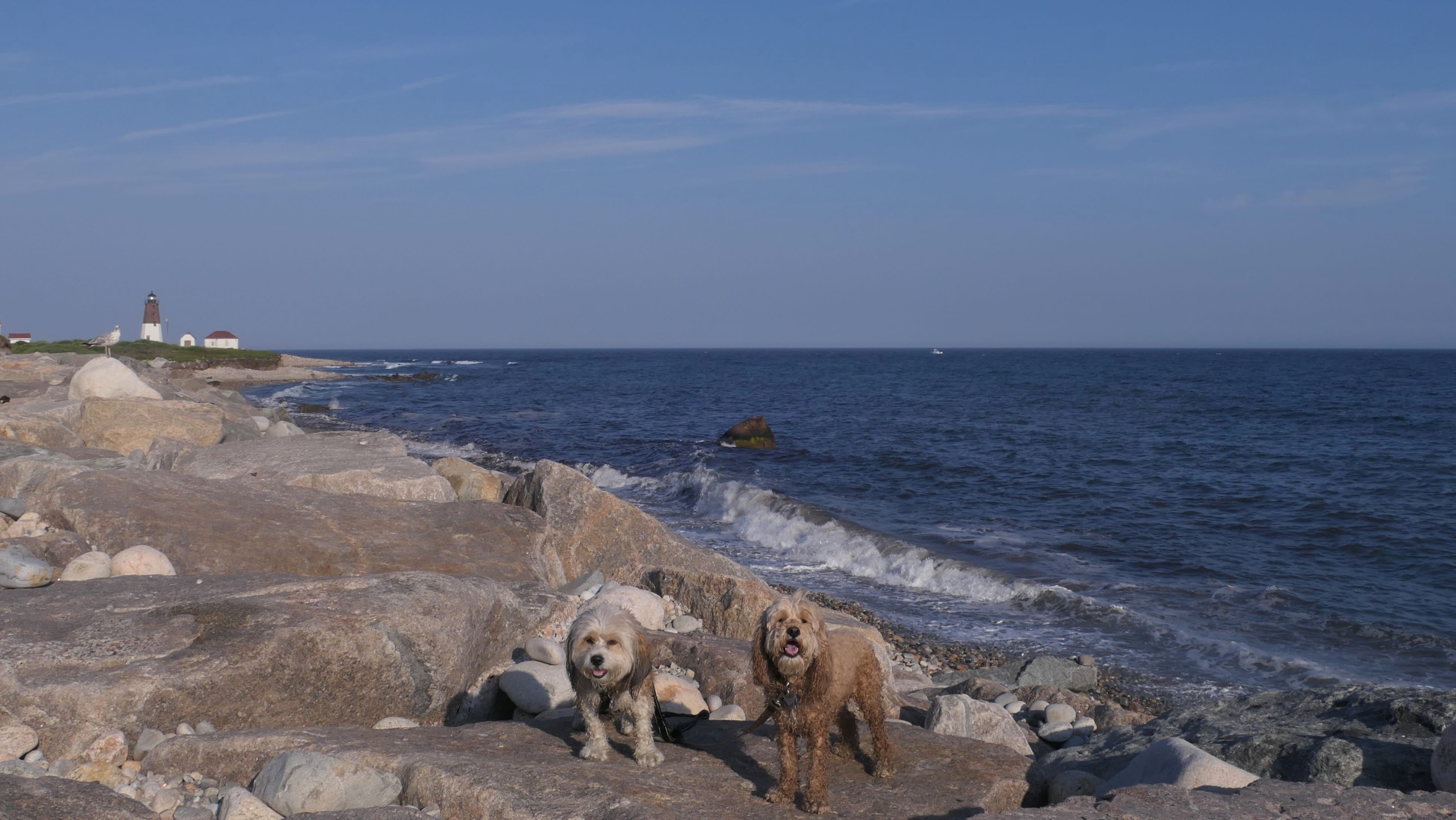
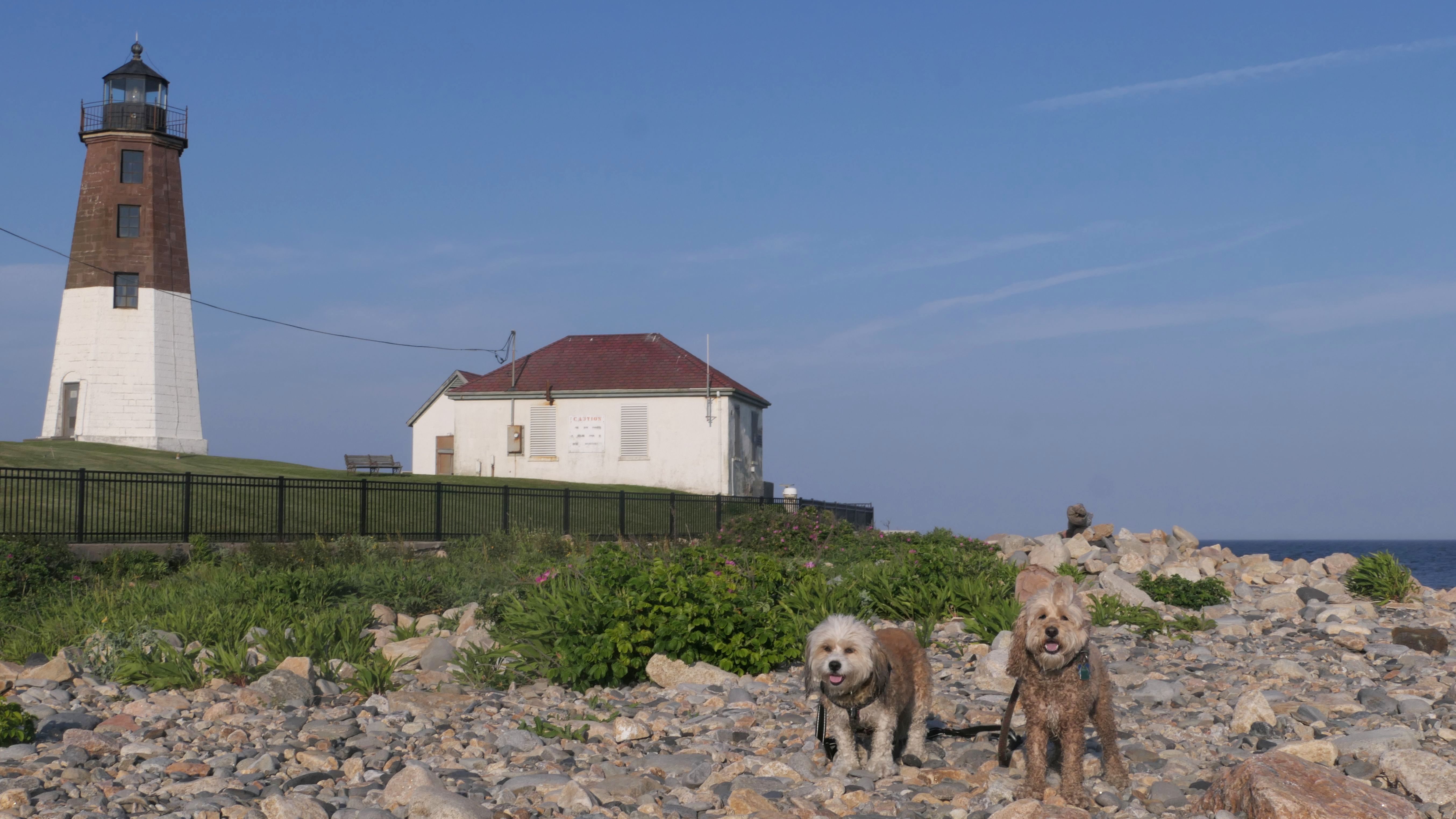
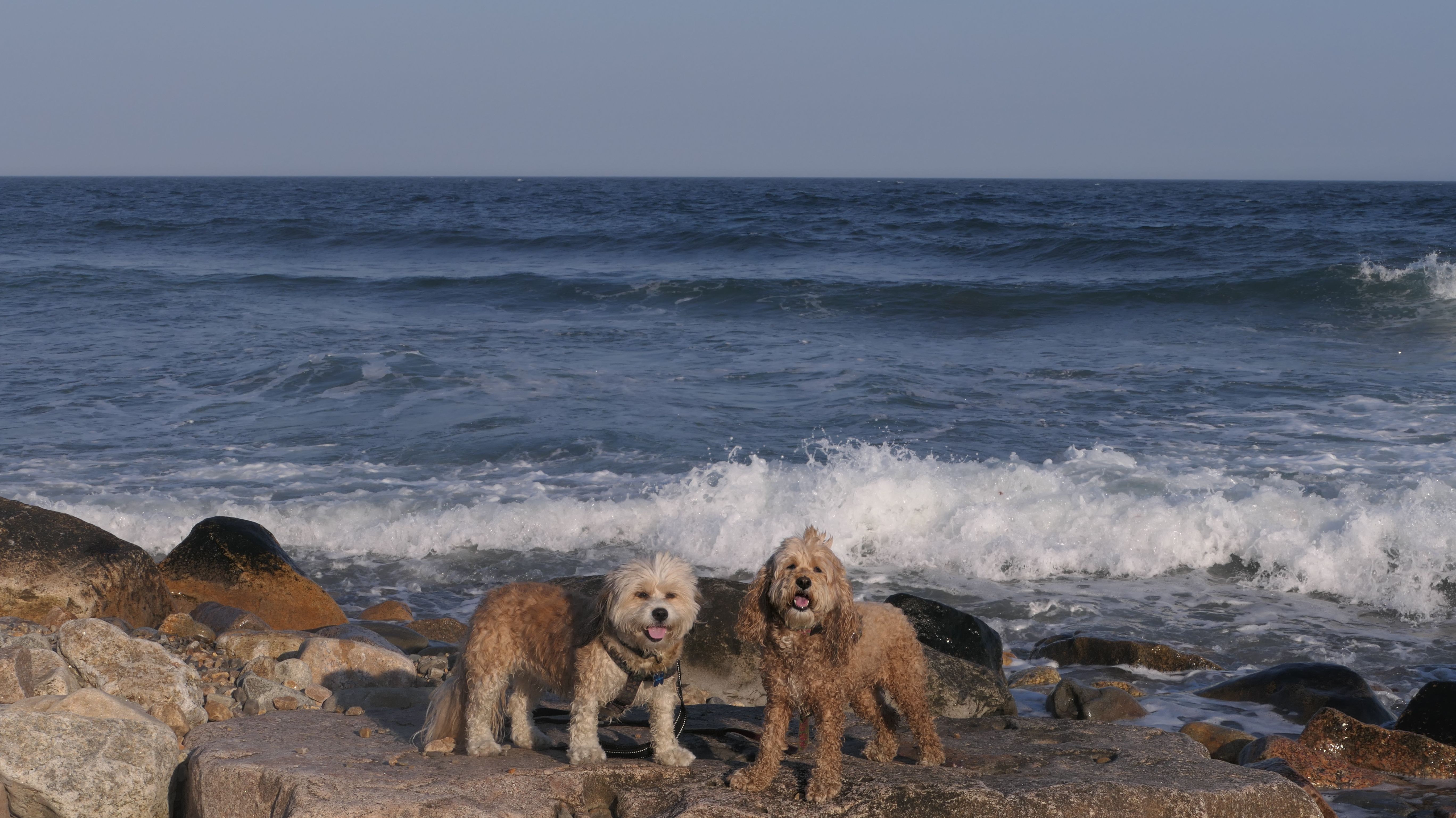
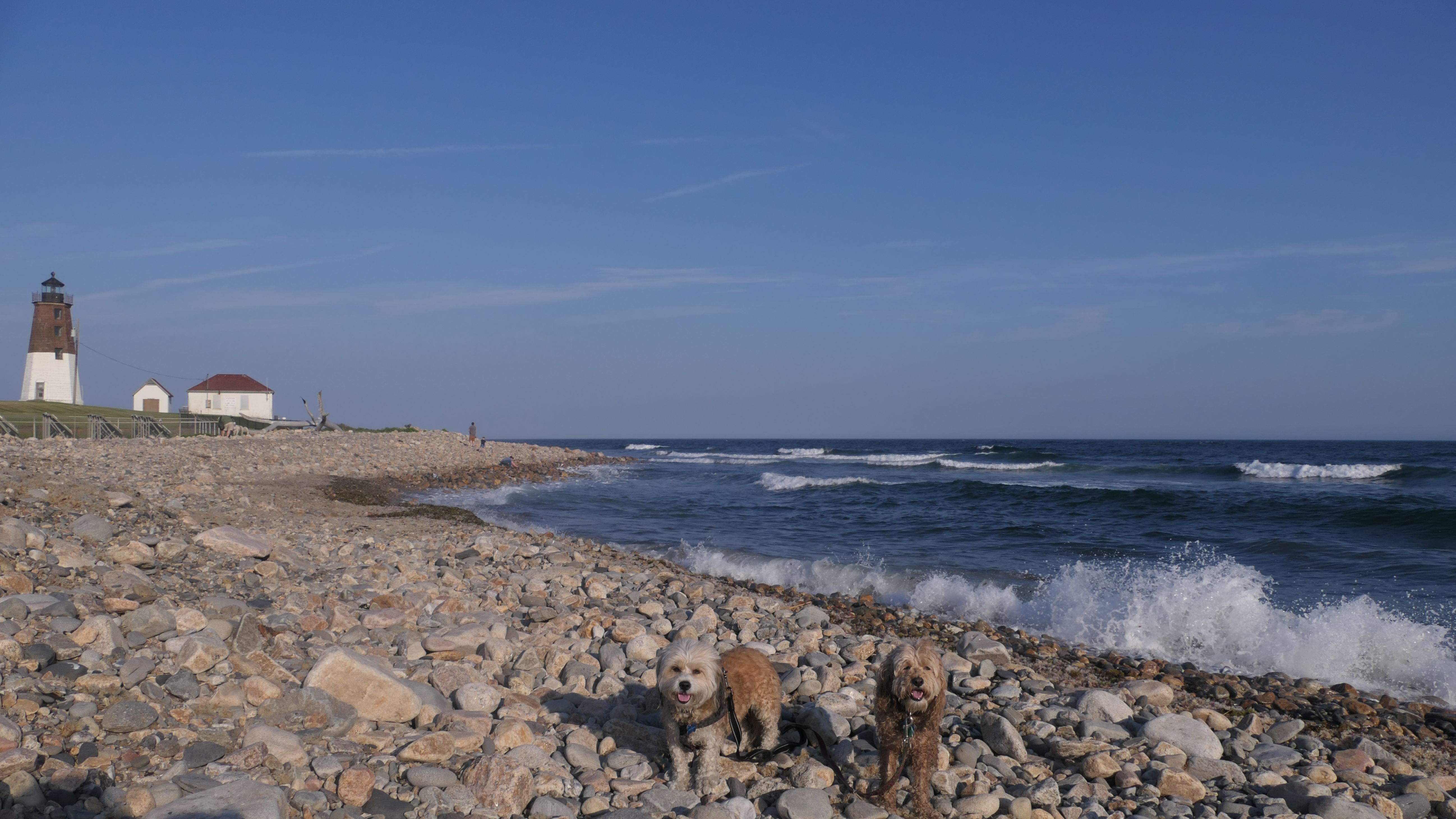
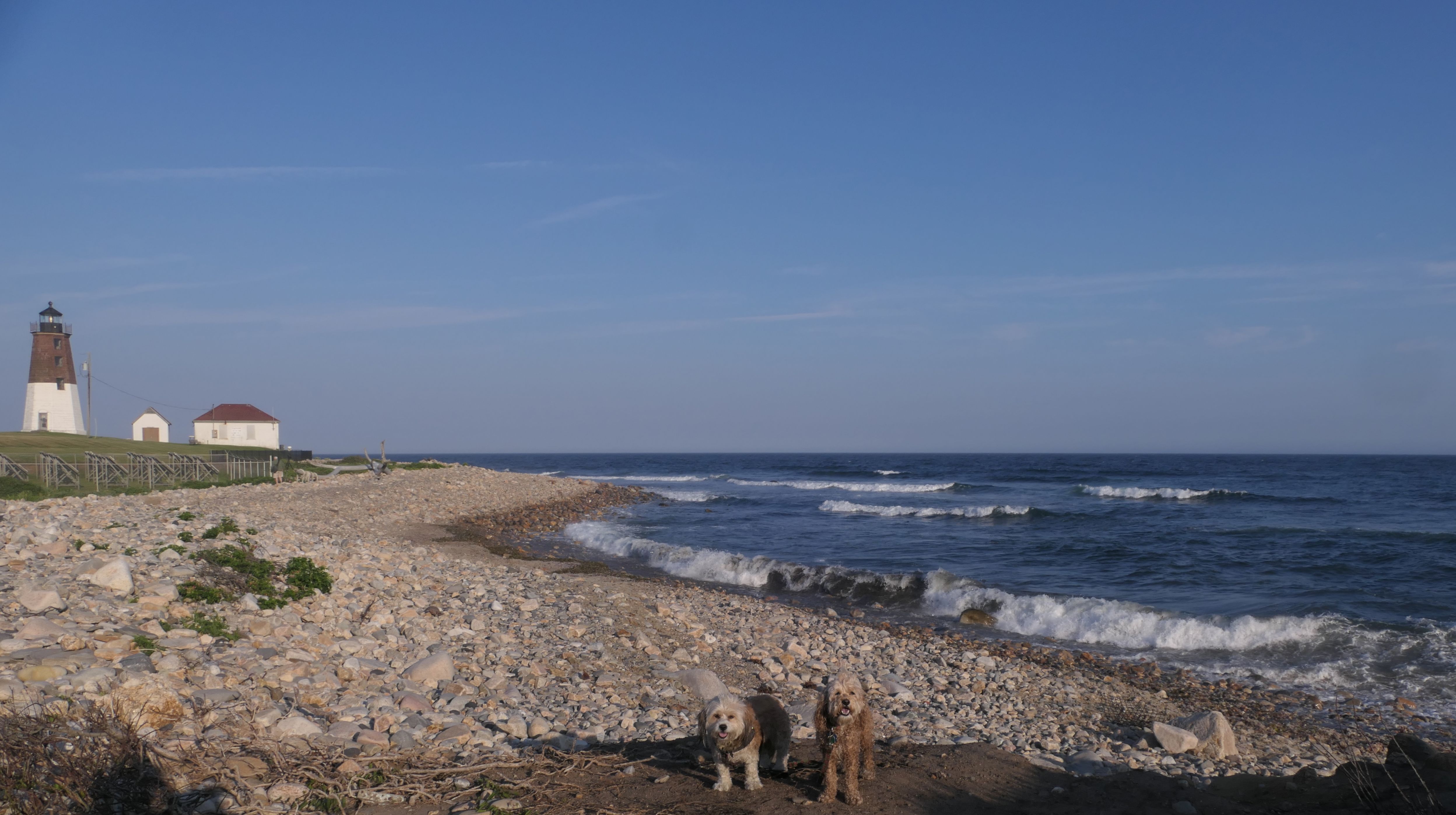
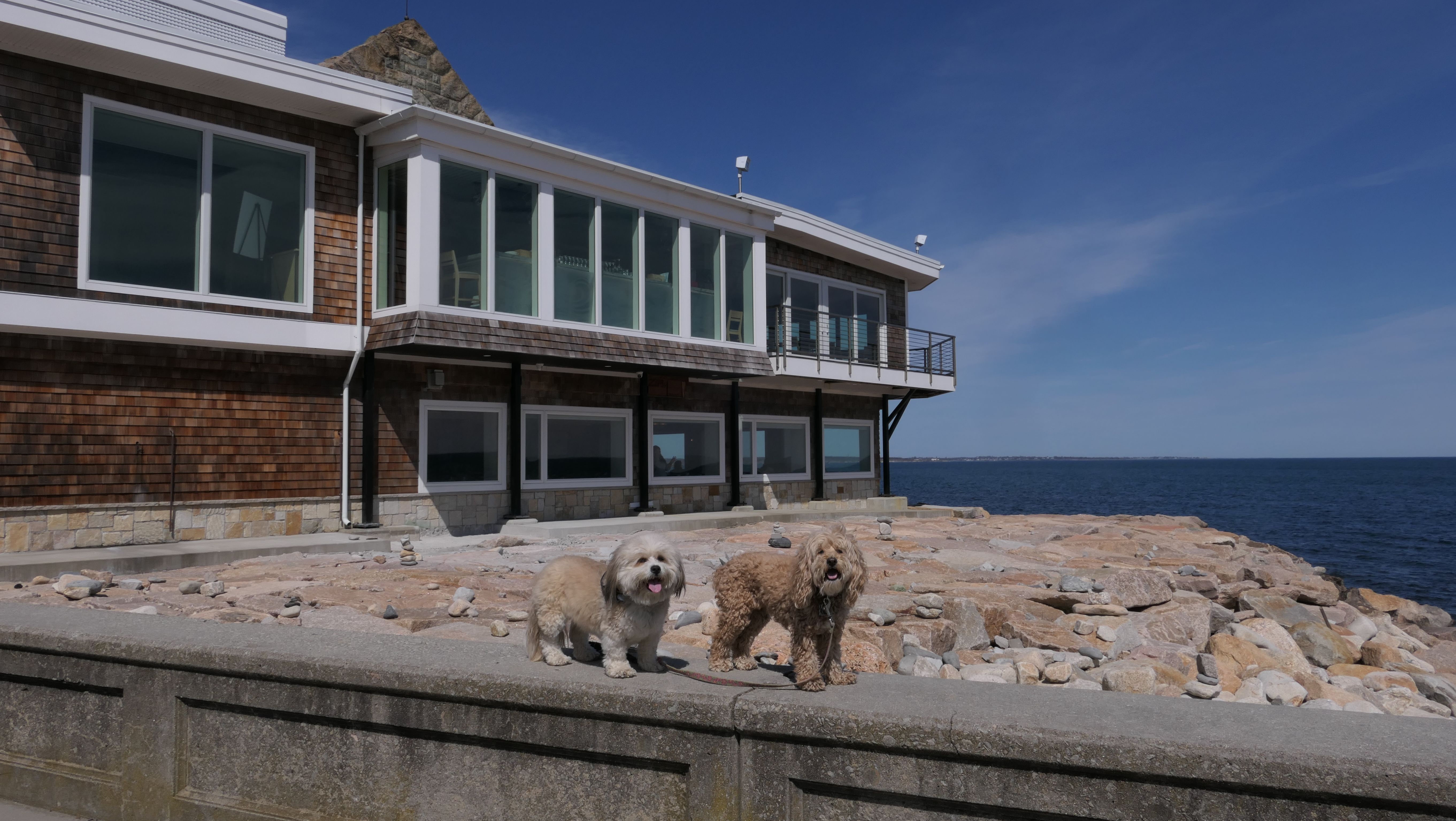
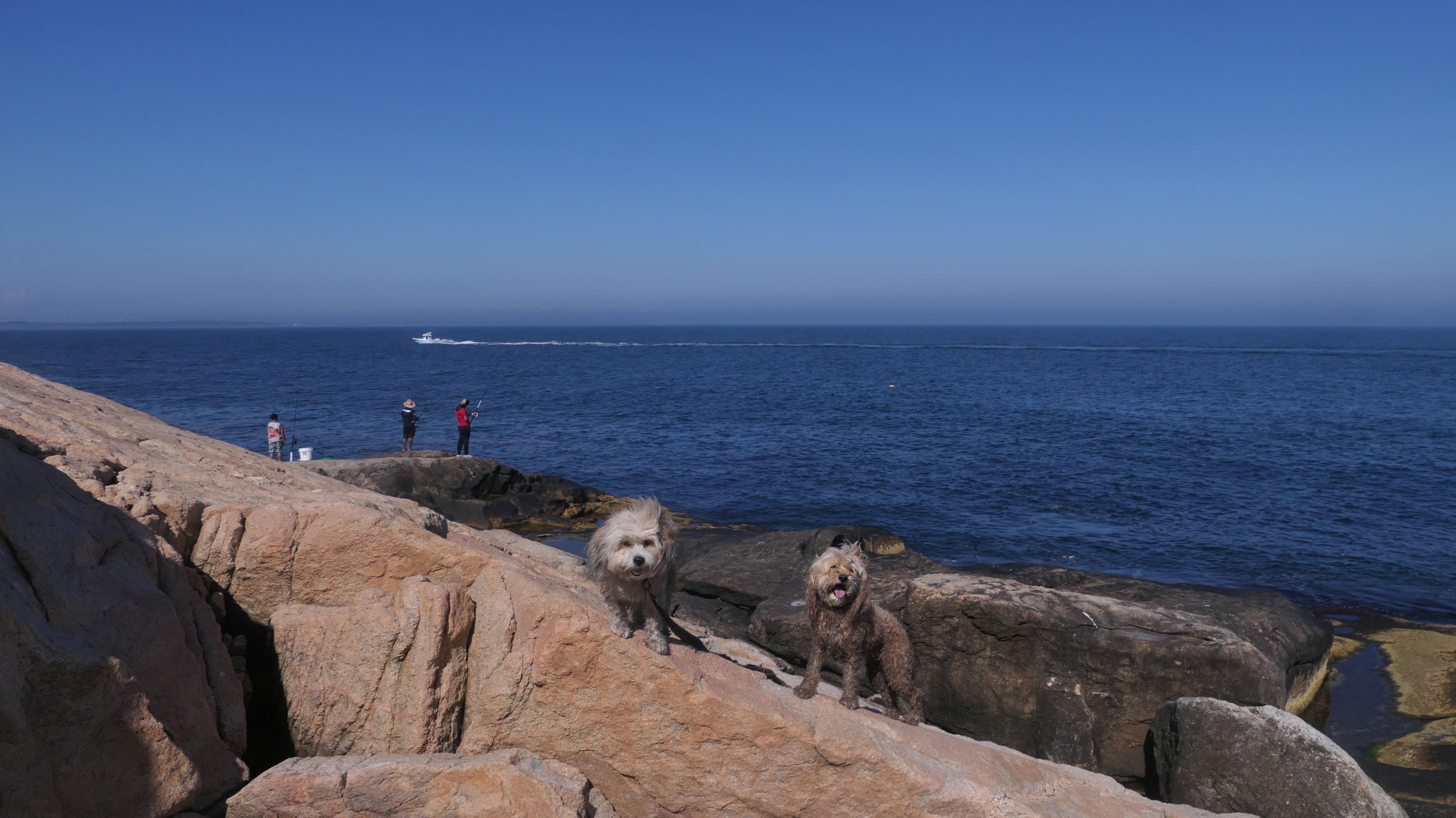
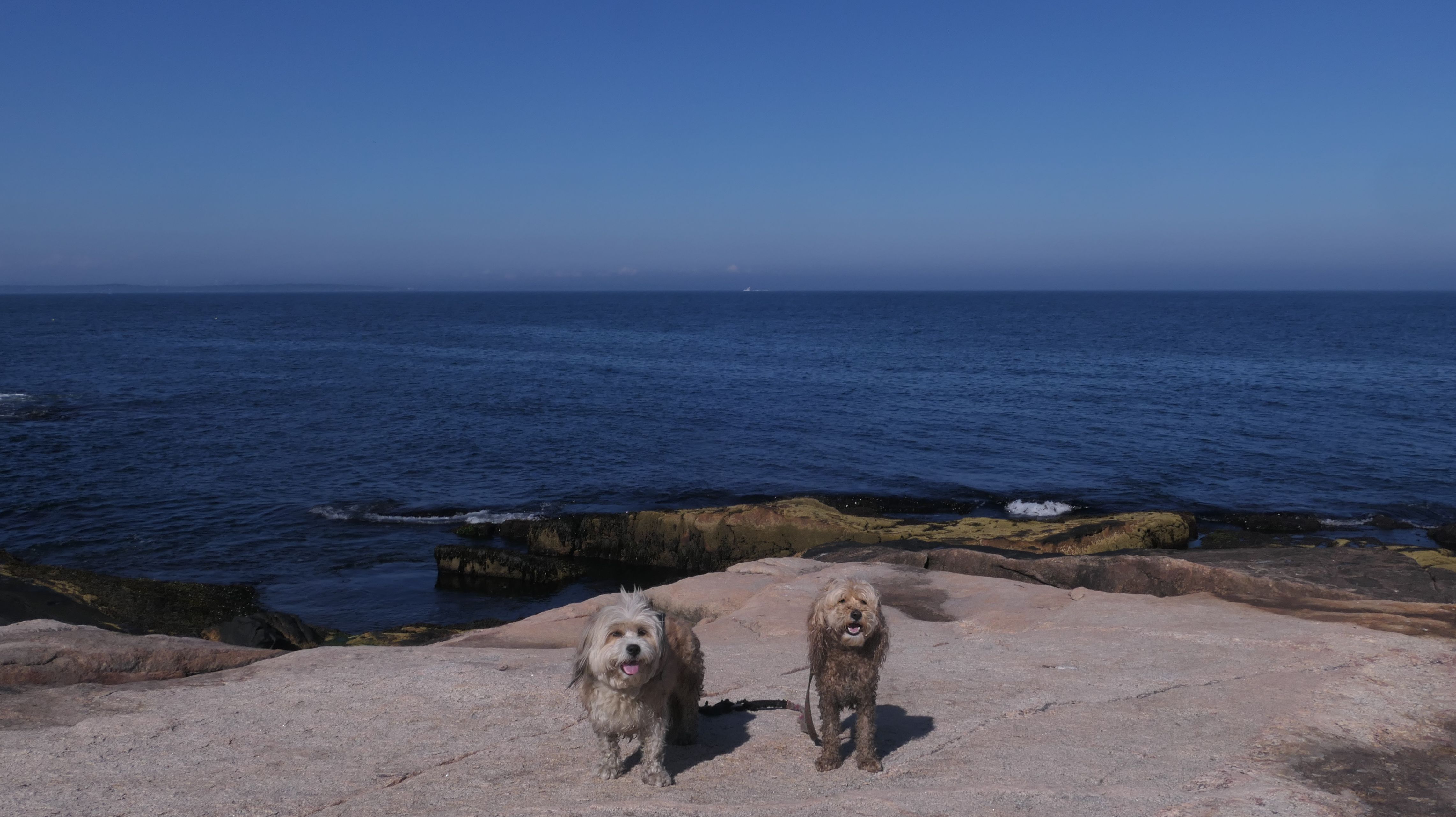
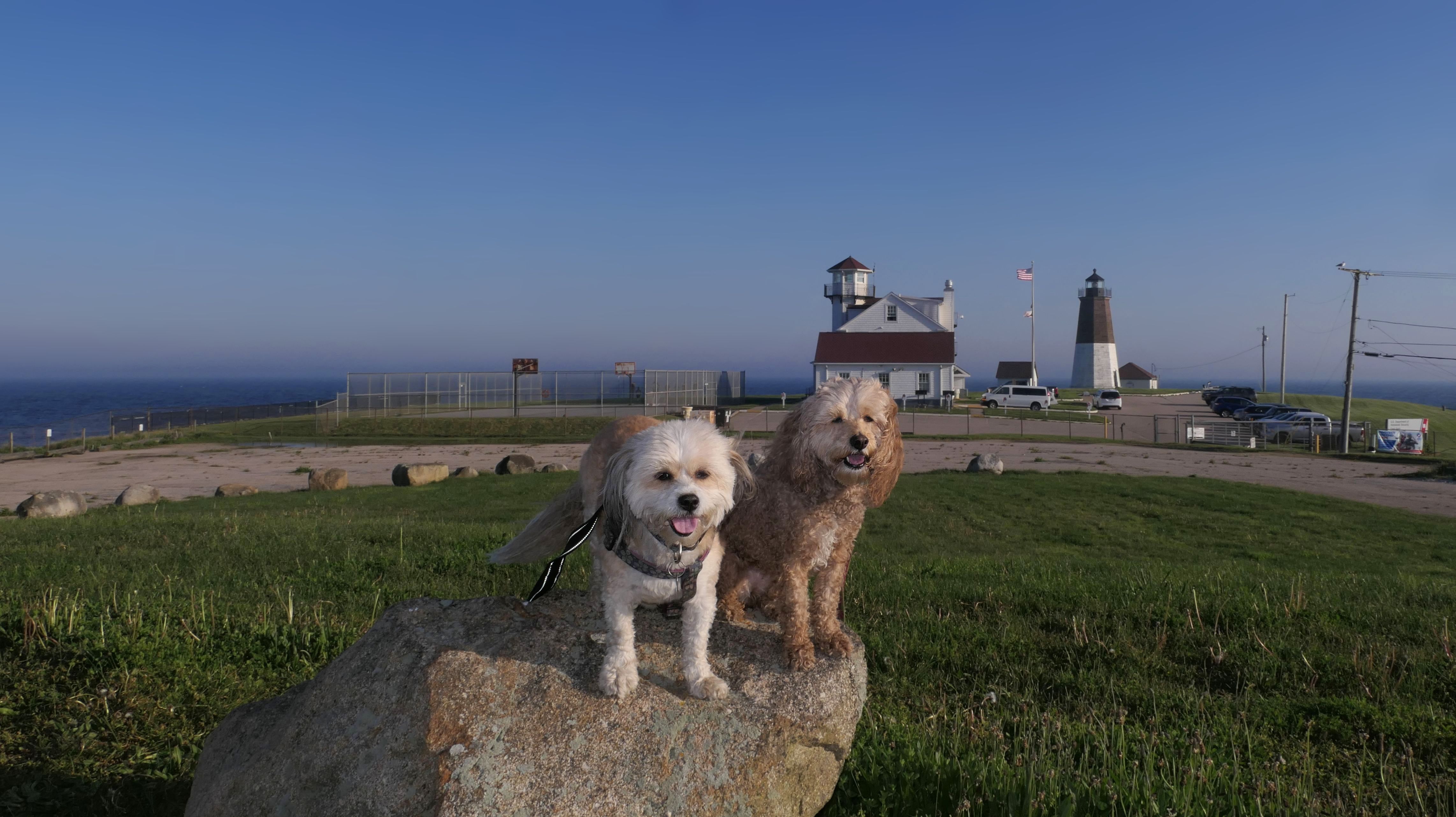
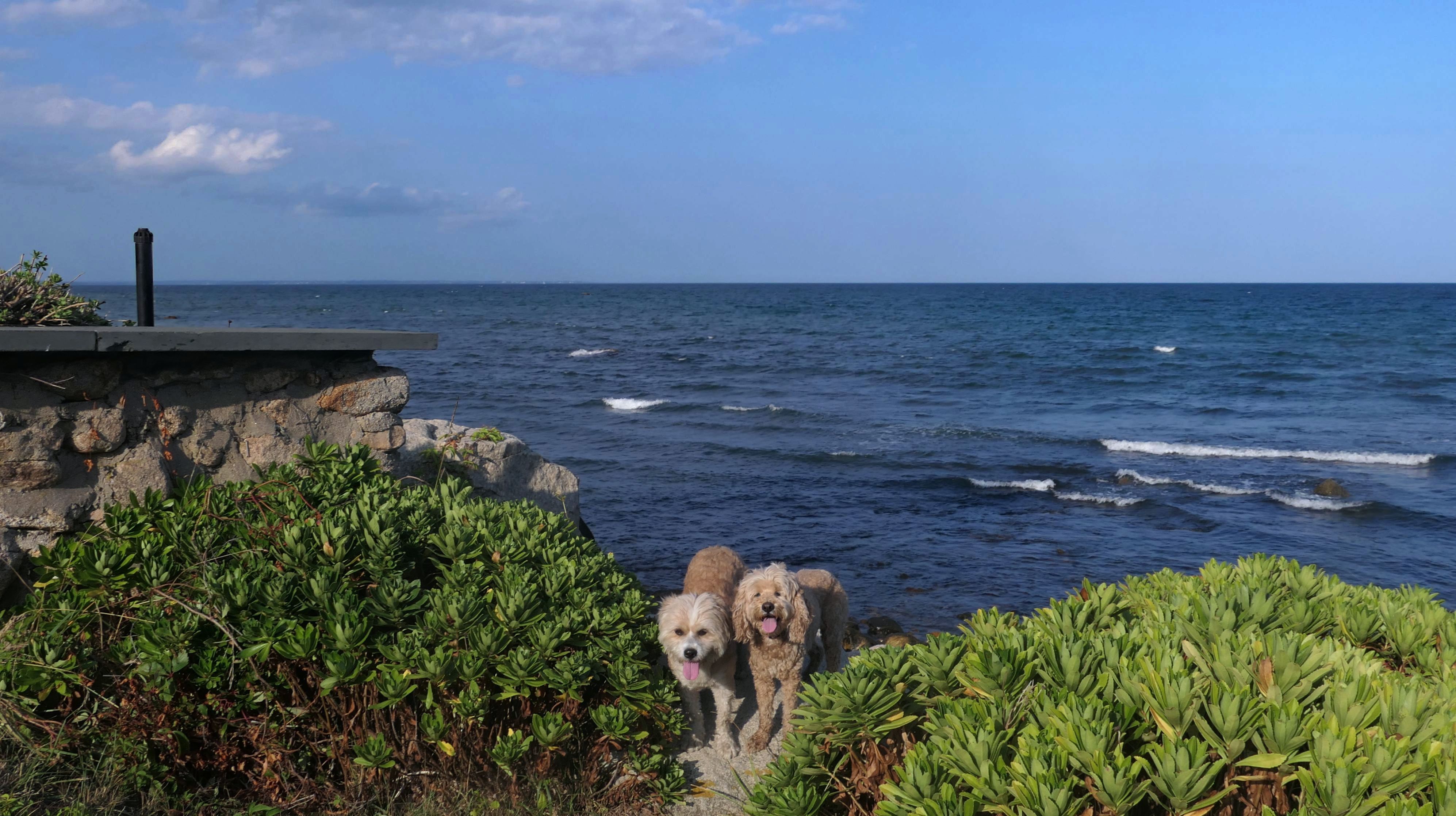
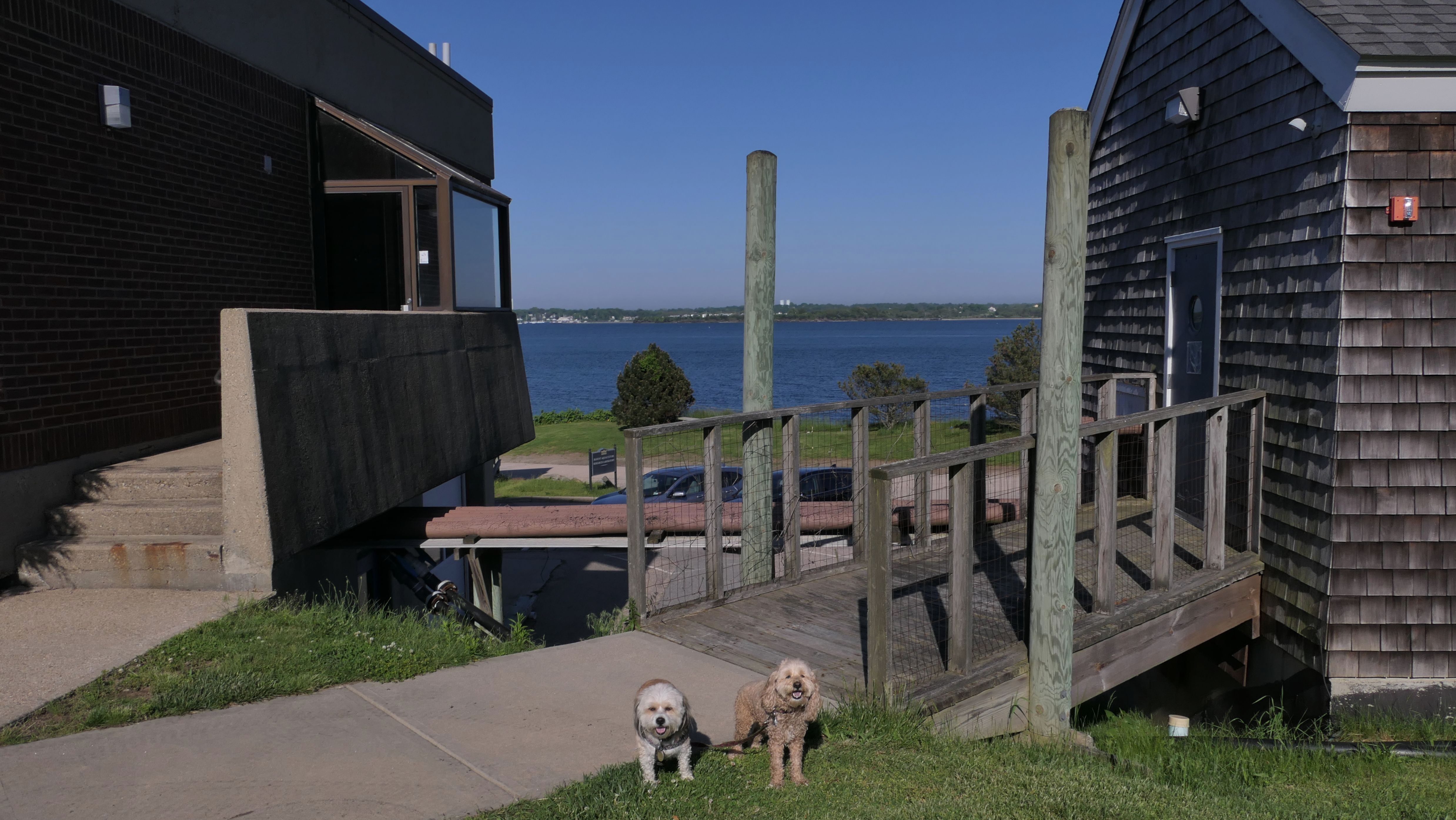
Point Judith Lighthouse
Date visited: 6/20/2024
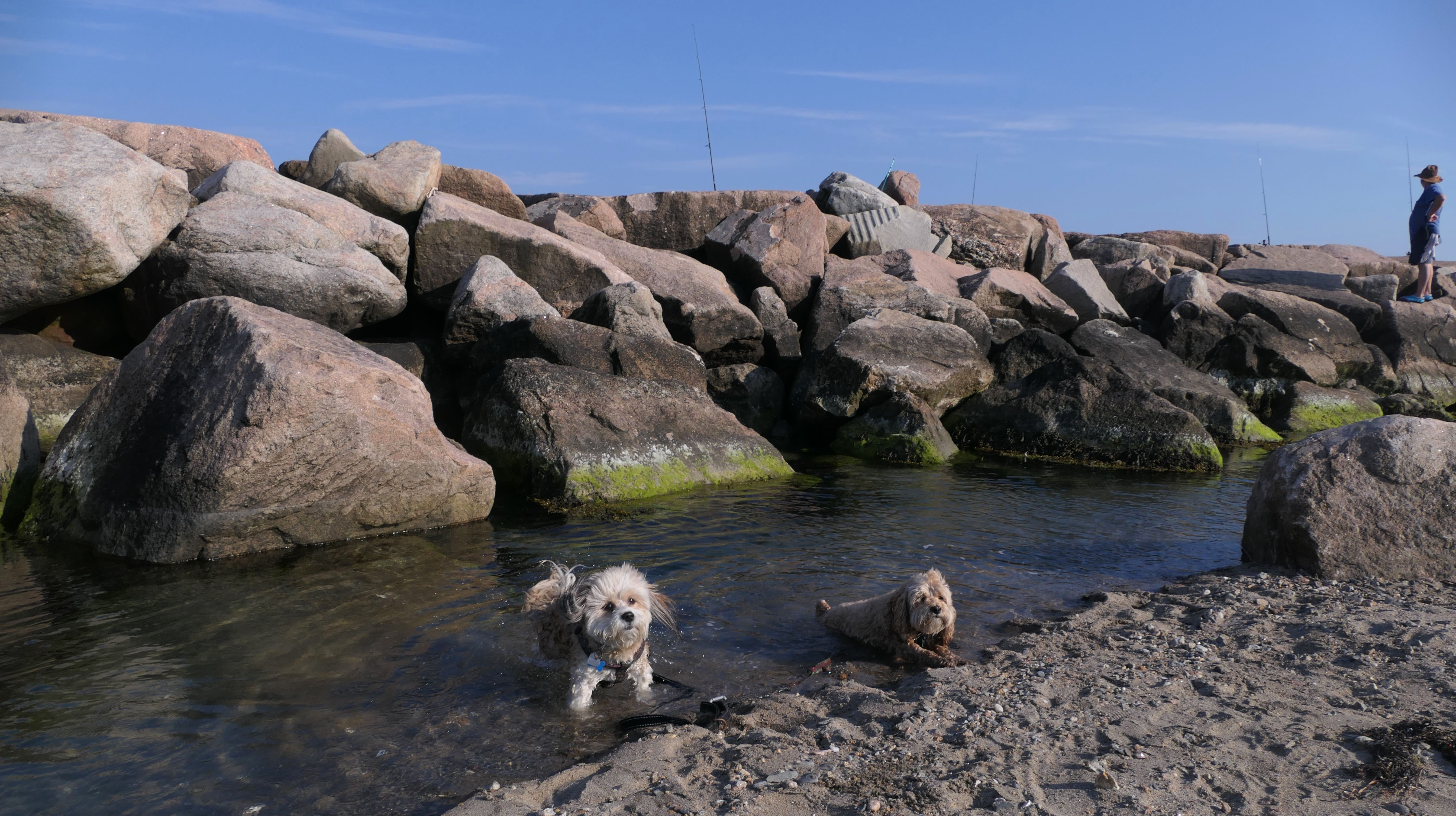
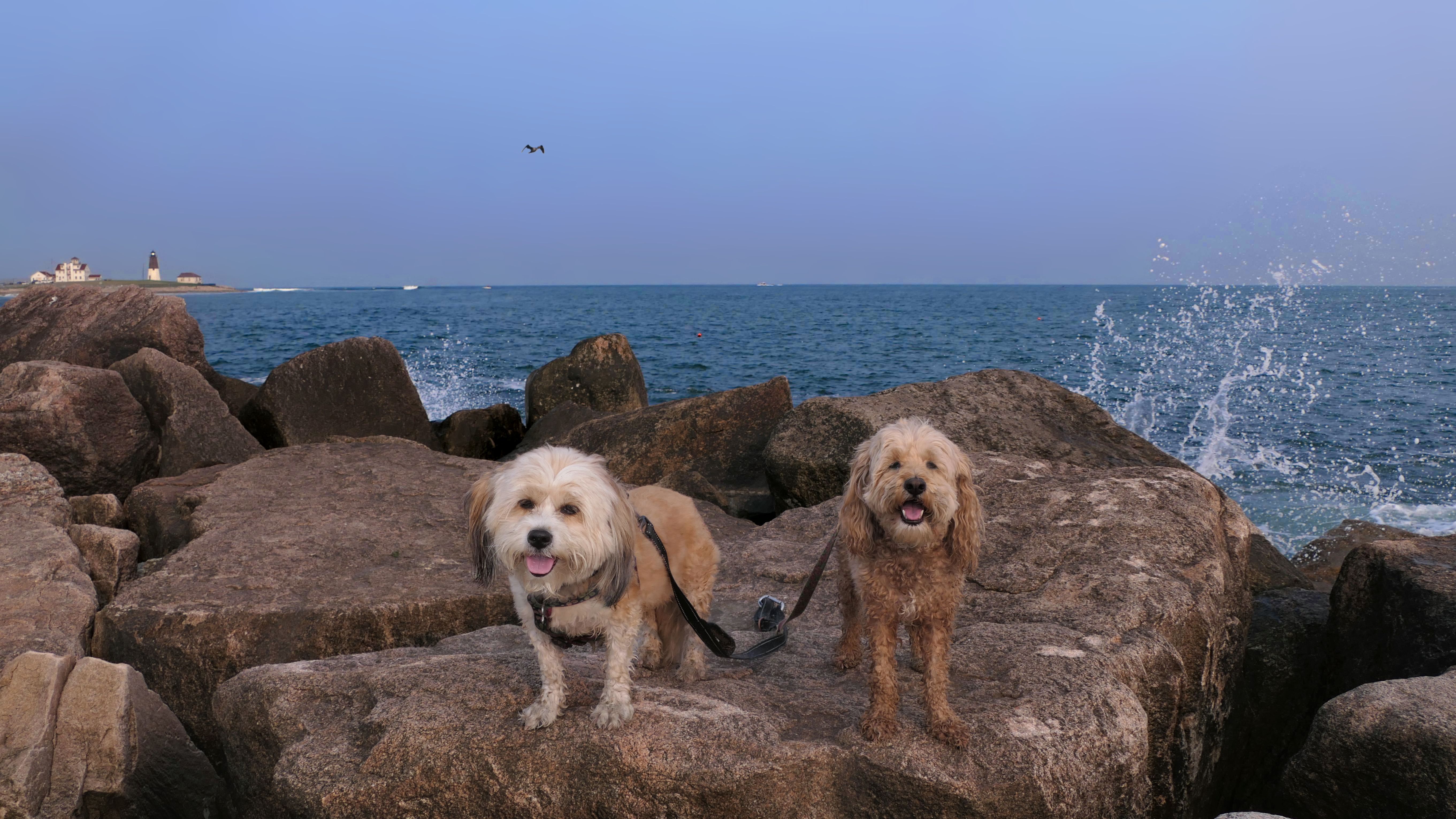
For the first time, we walked the rocky section in front of the lighthouse, from the Camp Cronin Beach parking lot, along the shore, up to the lighthouse. This part of the trip was a very fun adventure, and something we hadn't done on our previous visits. Despite being rocky, it was a pretty easy hike with amazing views of both the ocean and the Point Judith Lighthouse. This is one of the best kept secrets in Rhode Island!
More Images
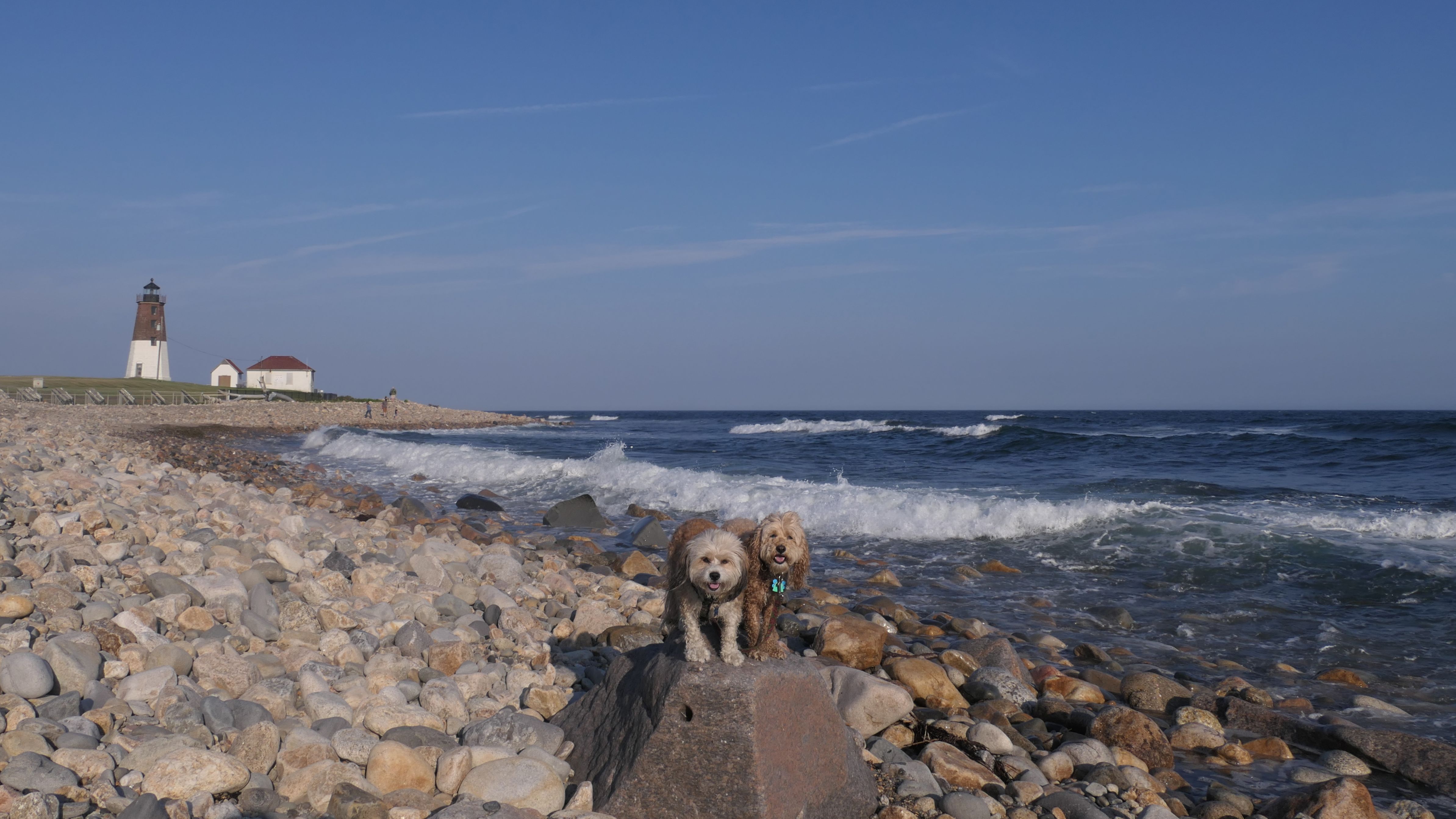
Point Judith Lighthouse
Date visited: 7/19/2025
This was our second time exploring the rocky area in front of the lighthouse. This time we parked at Rose Nulman Park and used the path along the outside edge of the Coast Guard Base that led to the rocks in front of the lighthouse. The path was super narrow, with tall growth overwhelming the path in places. Once on the rocks, we walked along the edge of the rock wall in front of the lighthouse and Coast Guard Base. This is the closest we've been able to get to the lighthouse. Instead of taking the narrow path back, we headed back toward Camp Cronin Beach. There was a small sandy area among the rocks where Mandy and Lexi were able to get in the water.
More Images
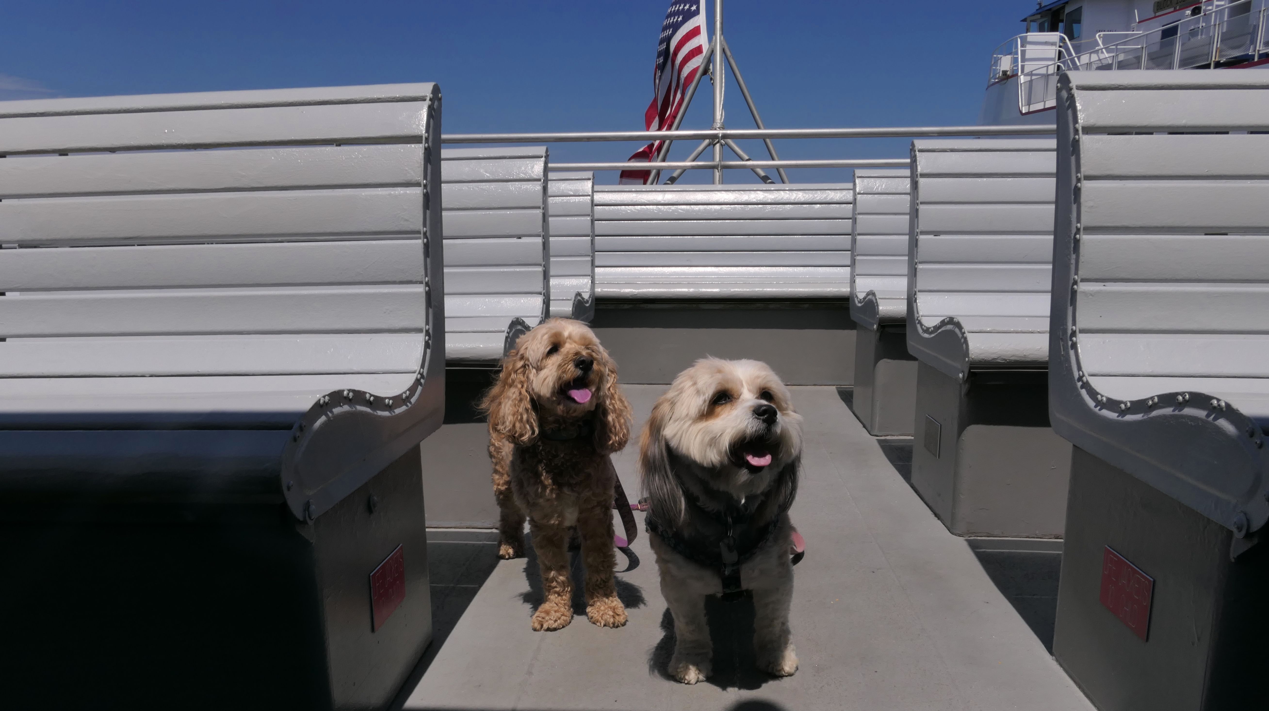
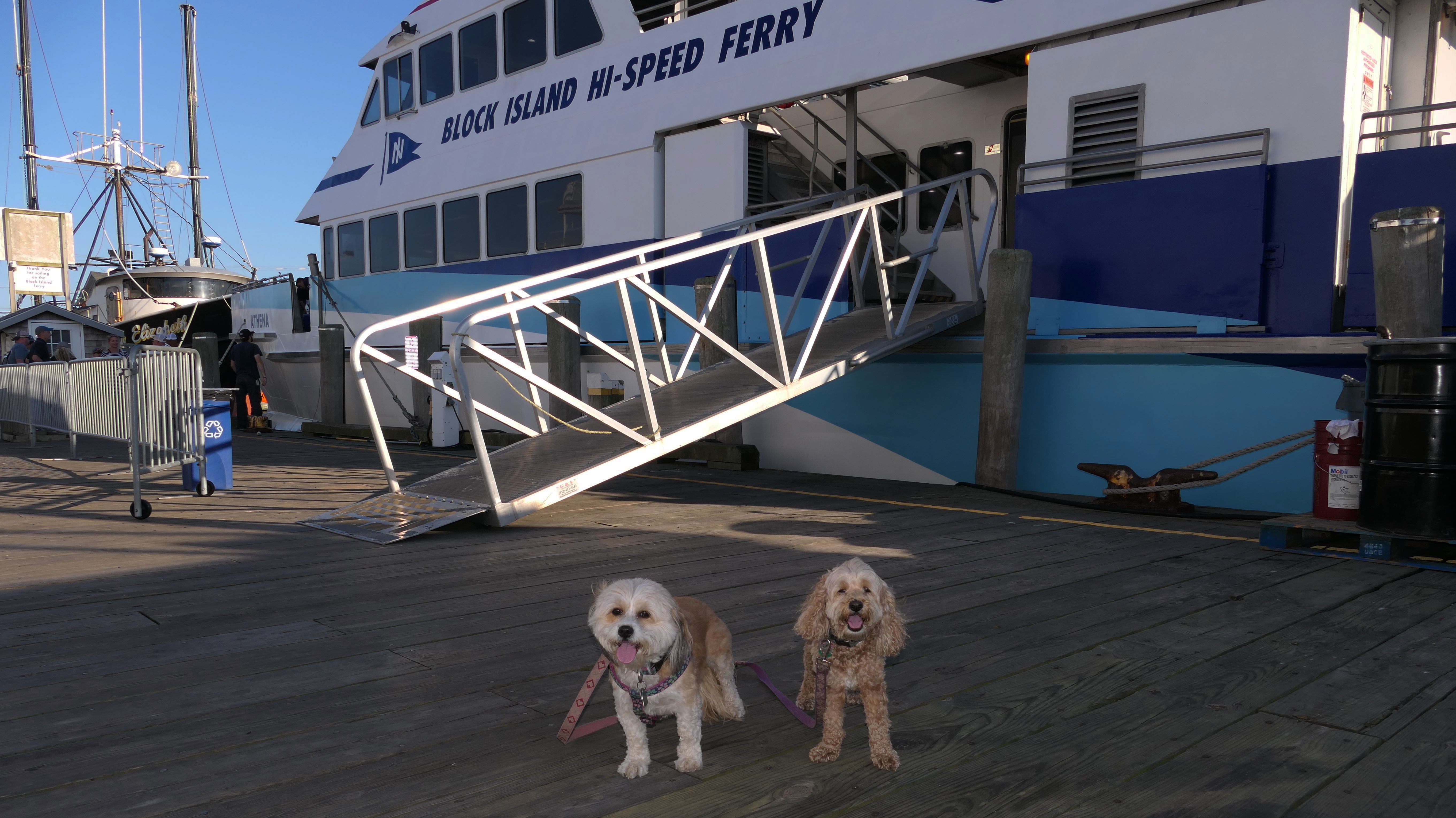
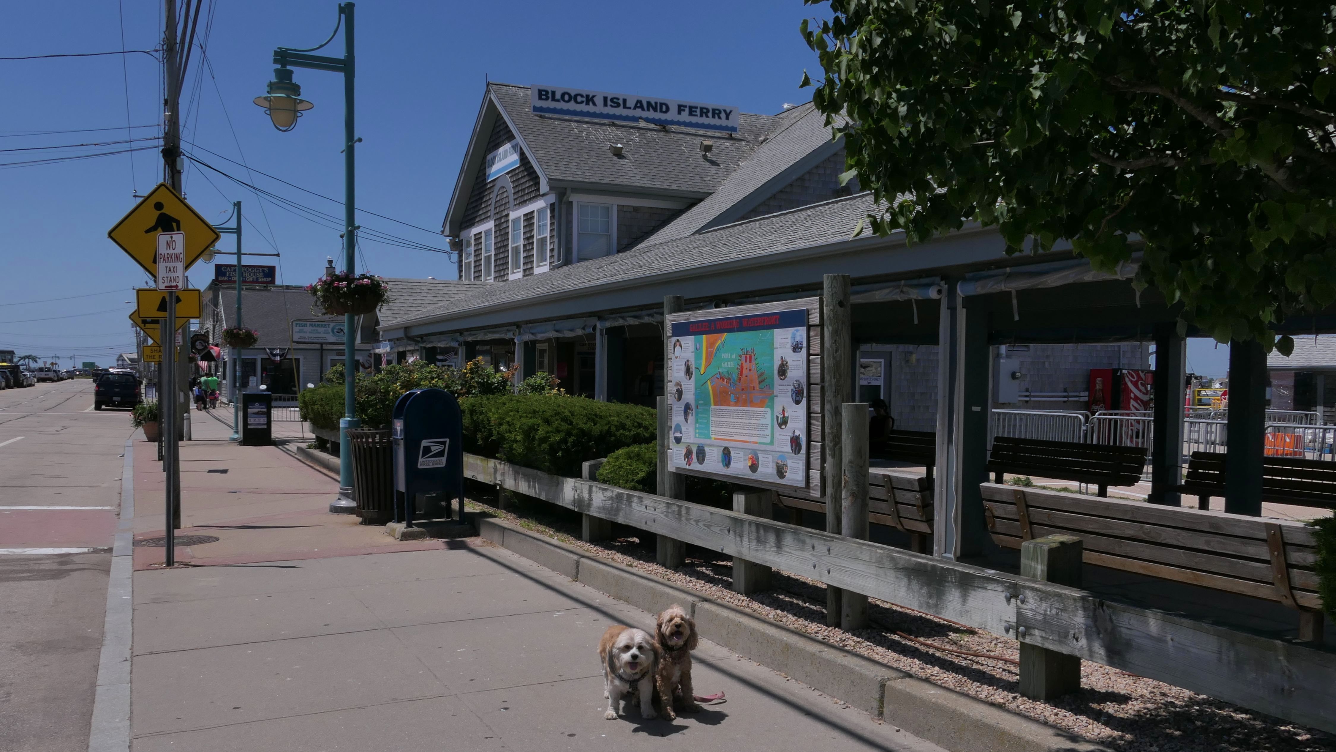
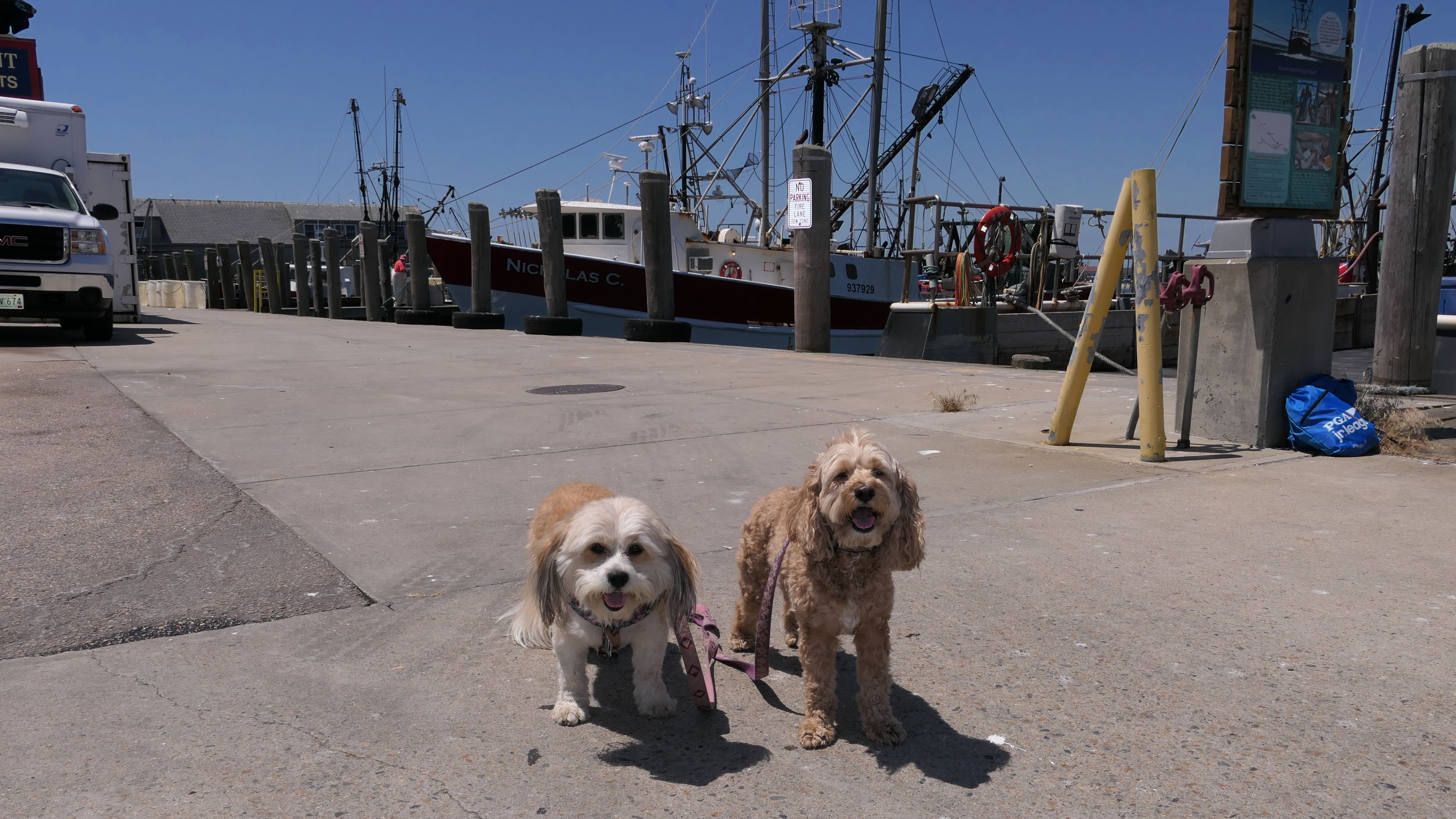
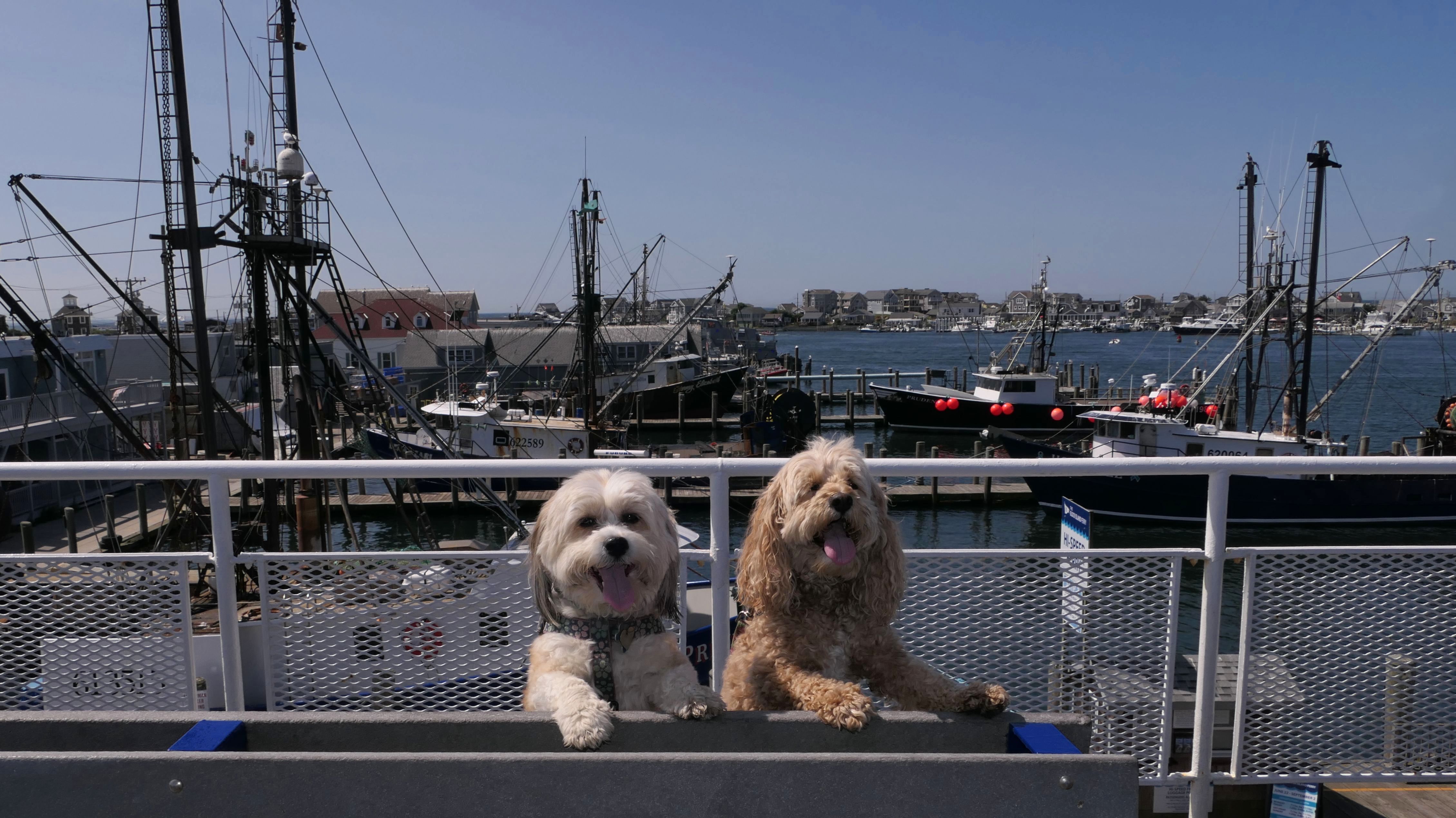
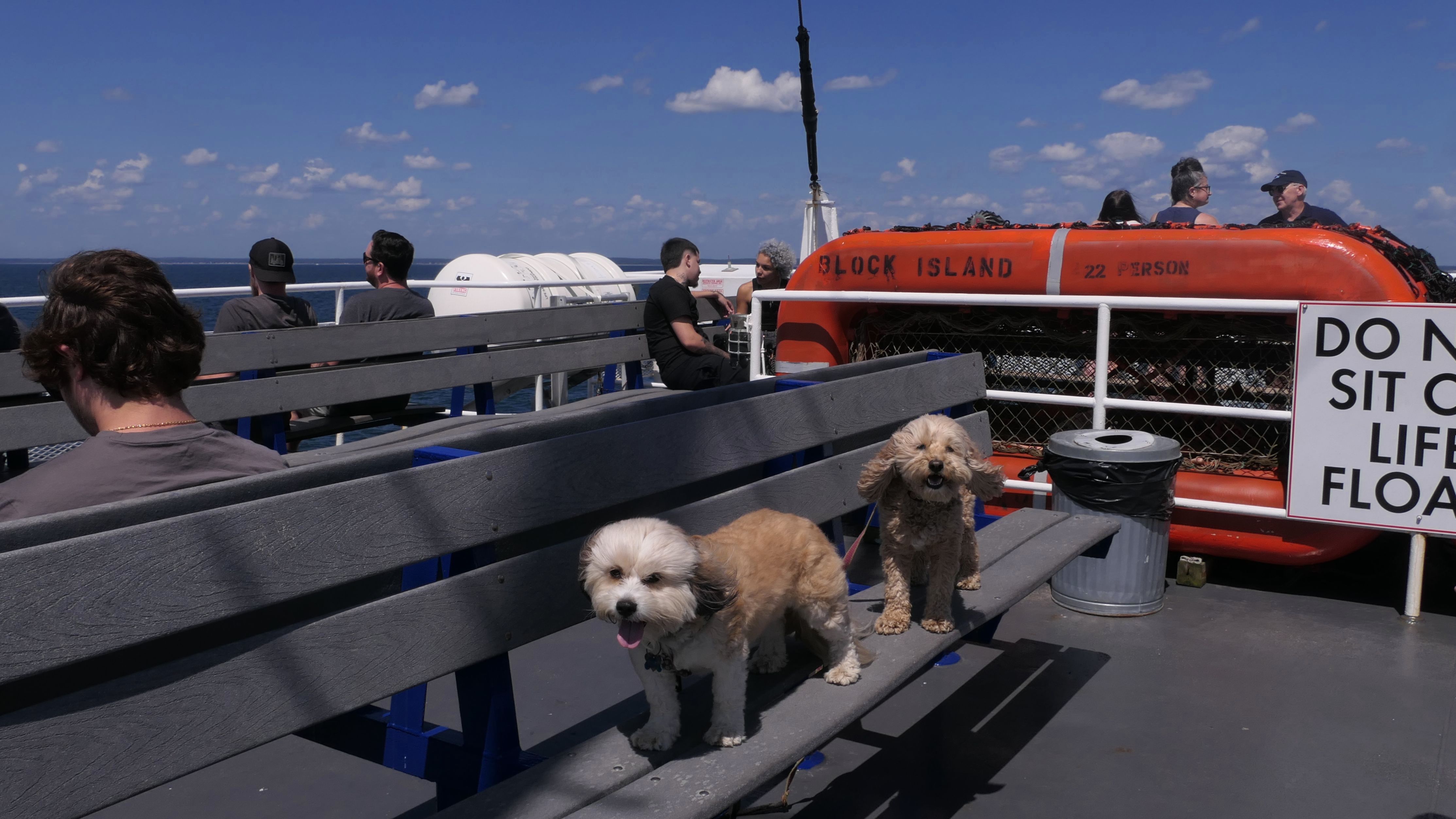
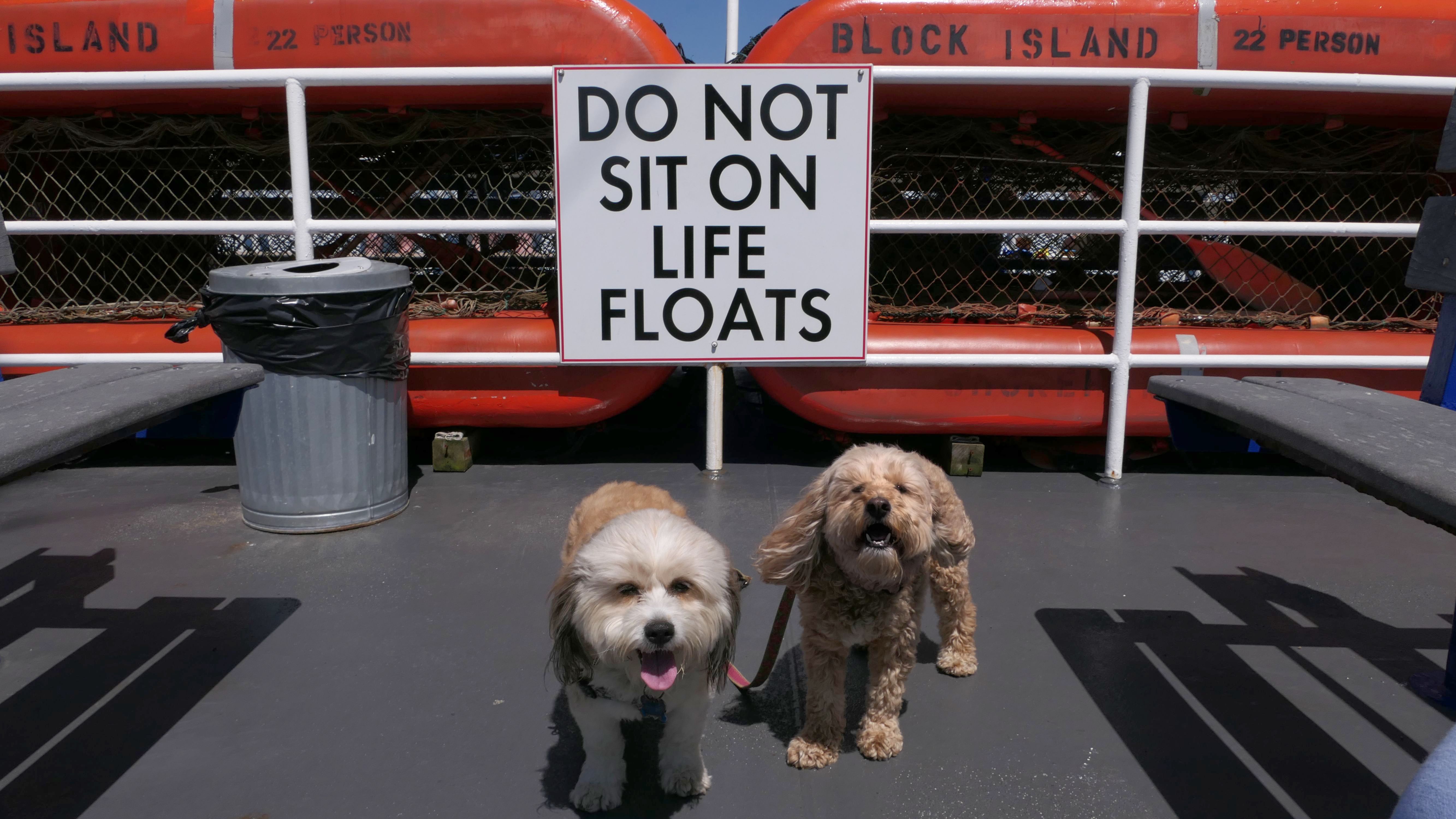
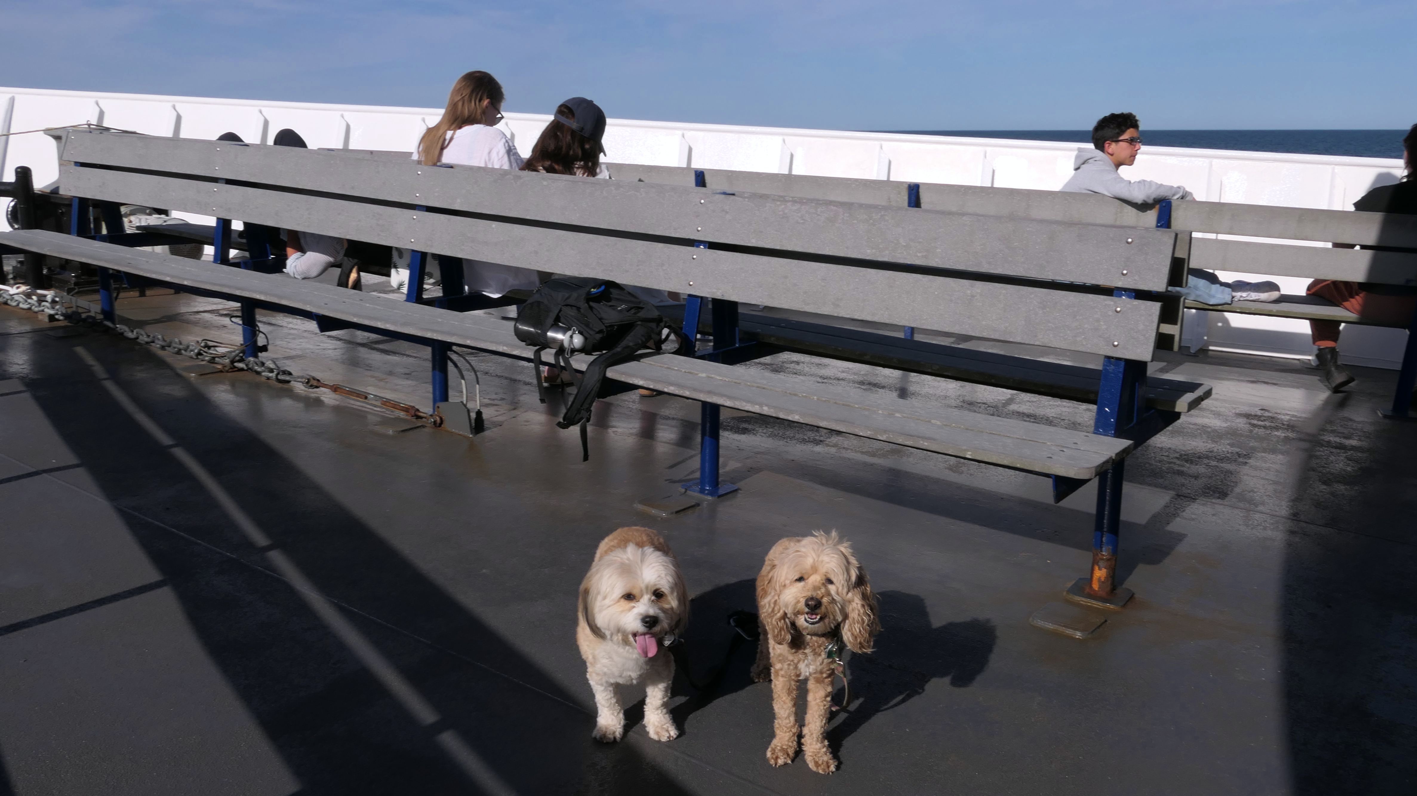
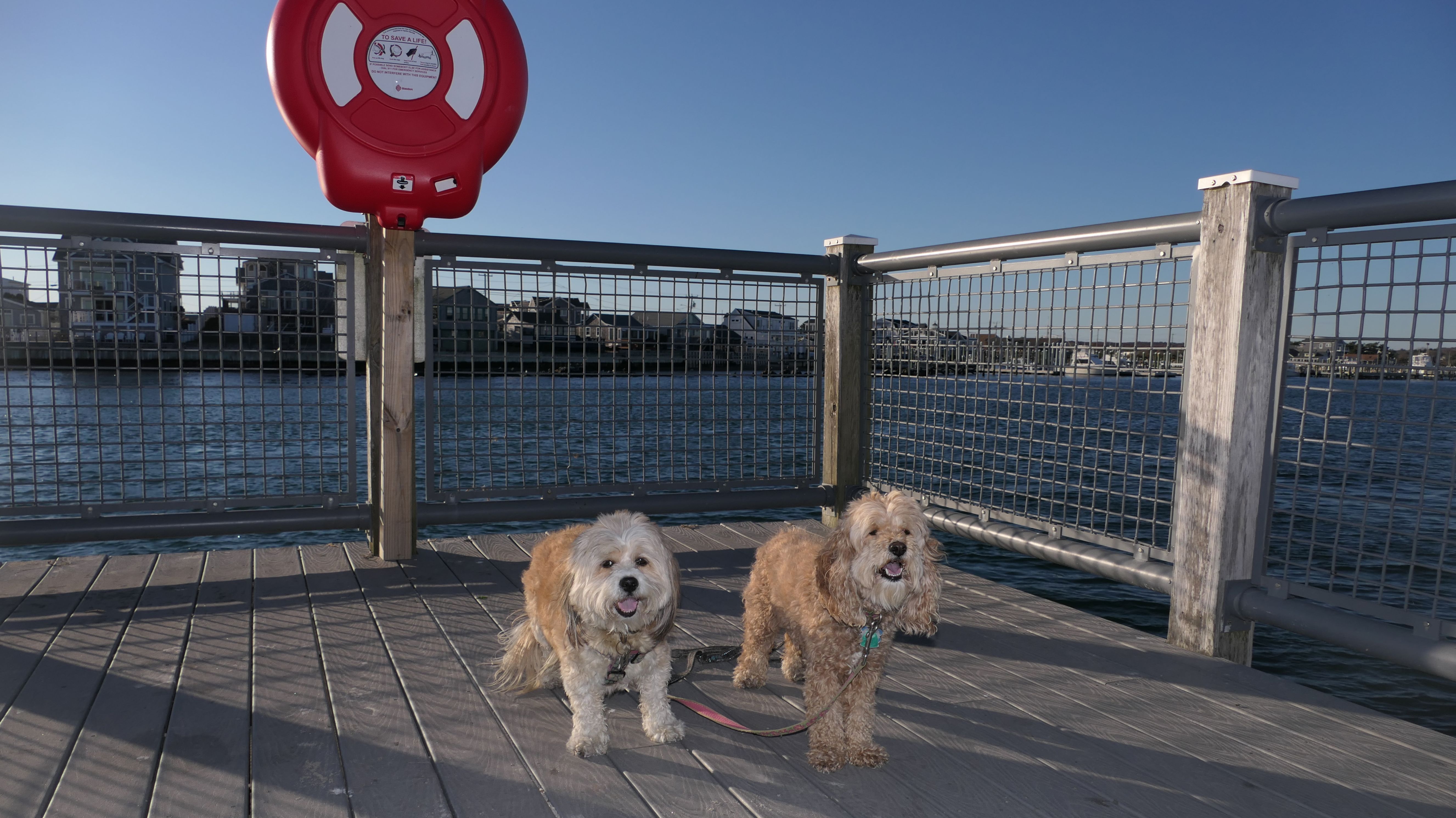
Block Island Ferry
Date visited: 7/11/2022
In order to visit every town in Rhode Island, we need to take a boat to get to New Shoreham (aka Block Island). So we arrived at Point Judith to take the Block Island Ferry to New Shoreham. This was the dogs first trip on a ferry, and Mandy didn't like it all. (No big deal for Lexi!) We took the high speed ferry, and it soon as it started to get moving, she started to shake. Dogs can only be on the outside deck of the ship, and they are not supposed to be on the benches, but I had to put Mandy on my lap to calm her down, which worked.
More Images
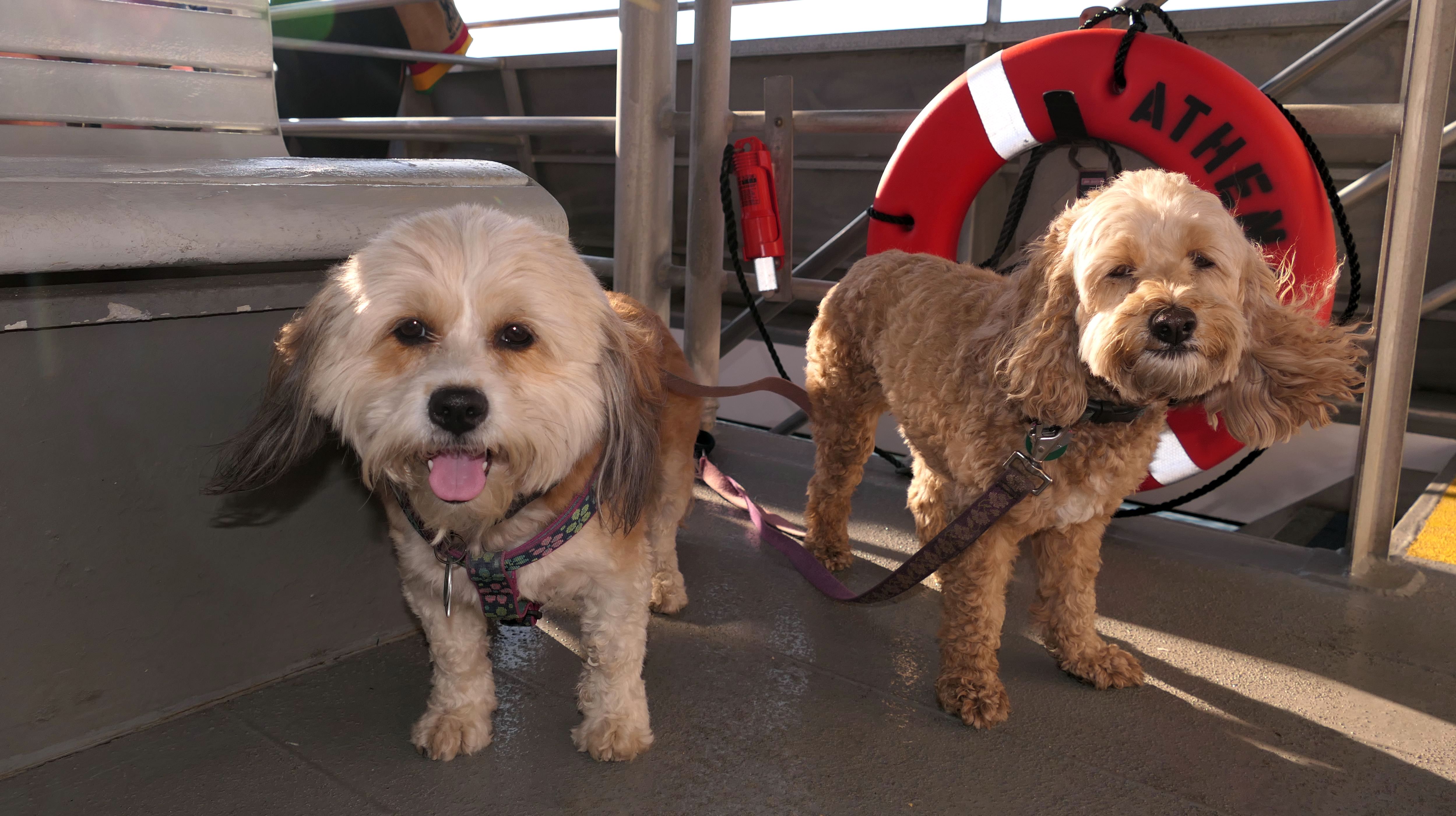
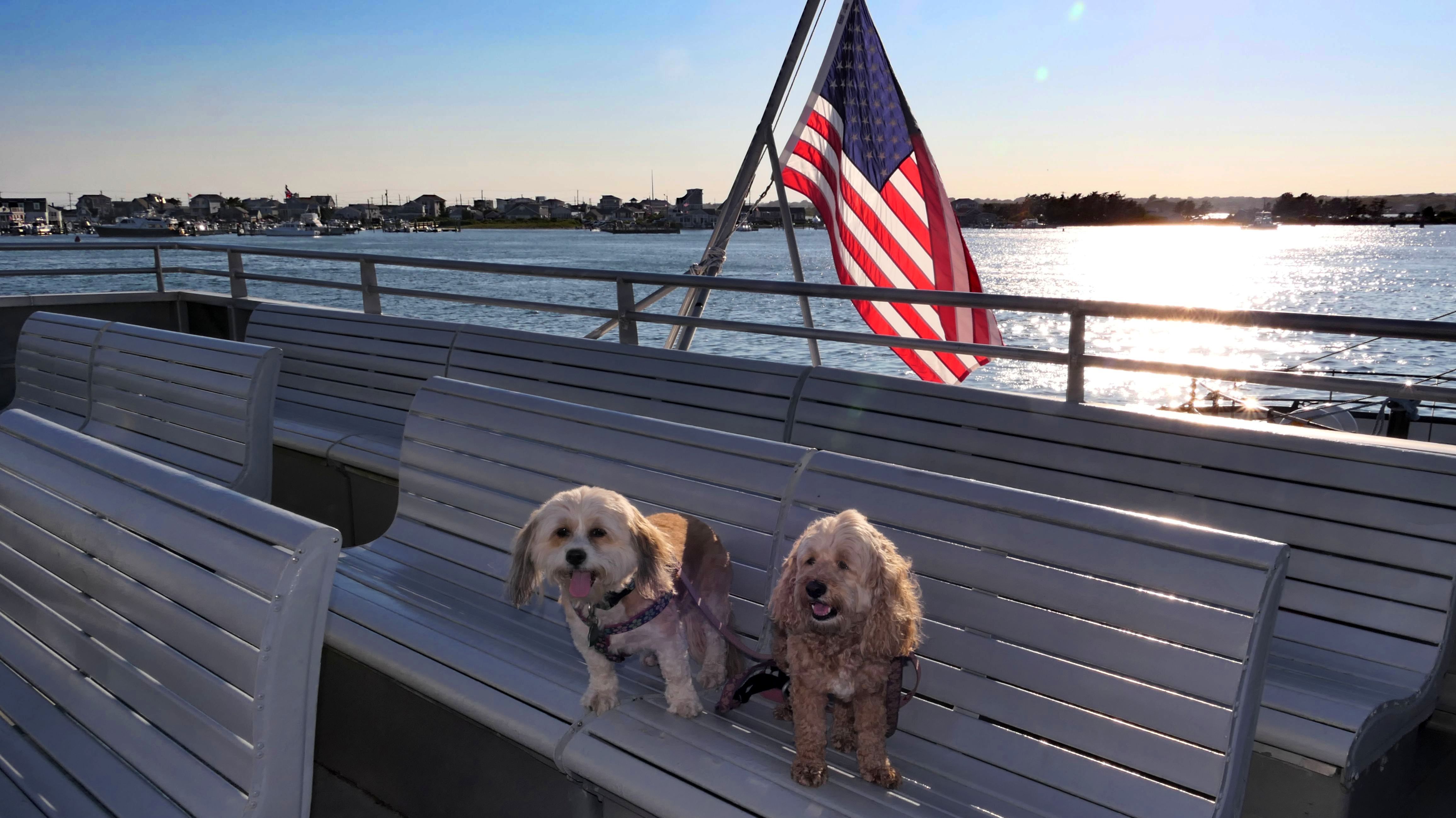
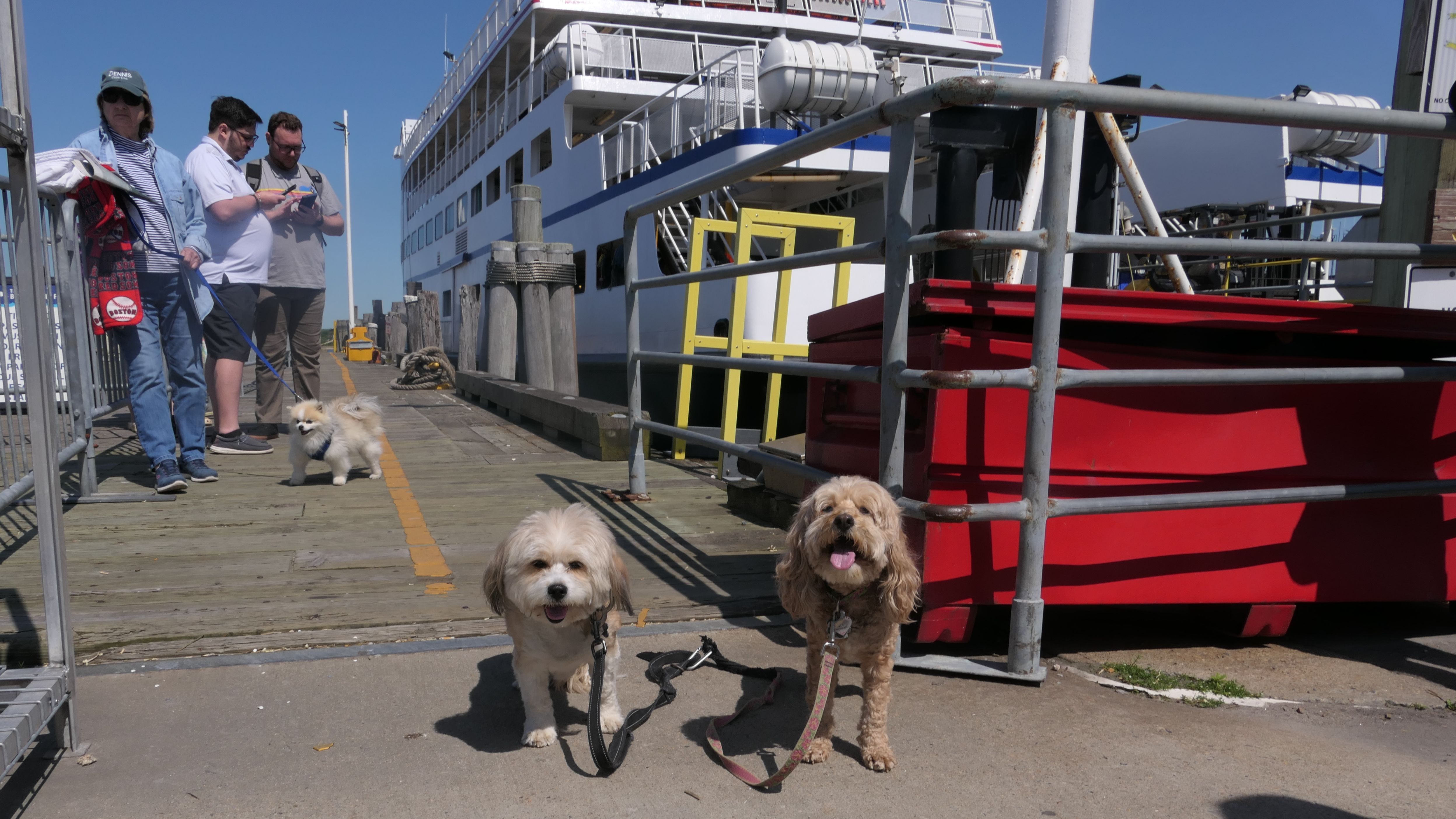
Block Island Ferry
Date visited: 8/23/2024
It took two years, but we headed back to Block Island. This time we took the traditional ferry instead of the high speed ferry. The traditional ferry tickets were much cheaper, but the trip took an hour, double the time of the high speed ferry. The good news was that the boat didn't shake as much. Mandy still didn't like it, but she did much better this time around.
More Images


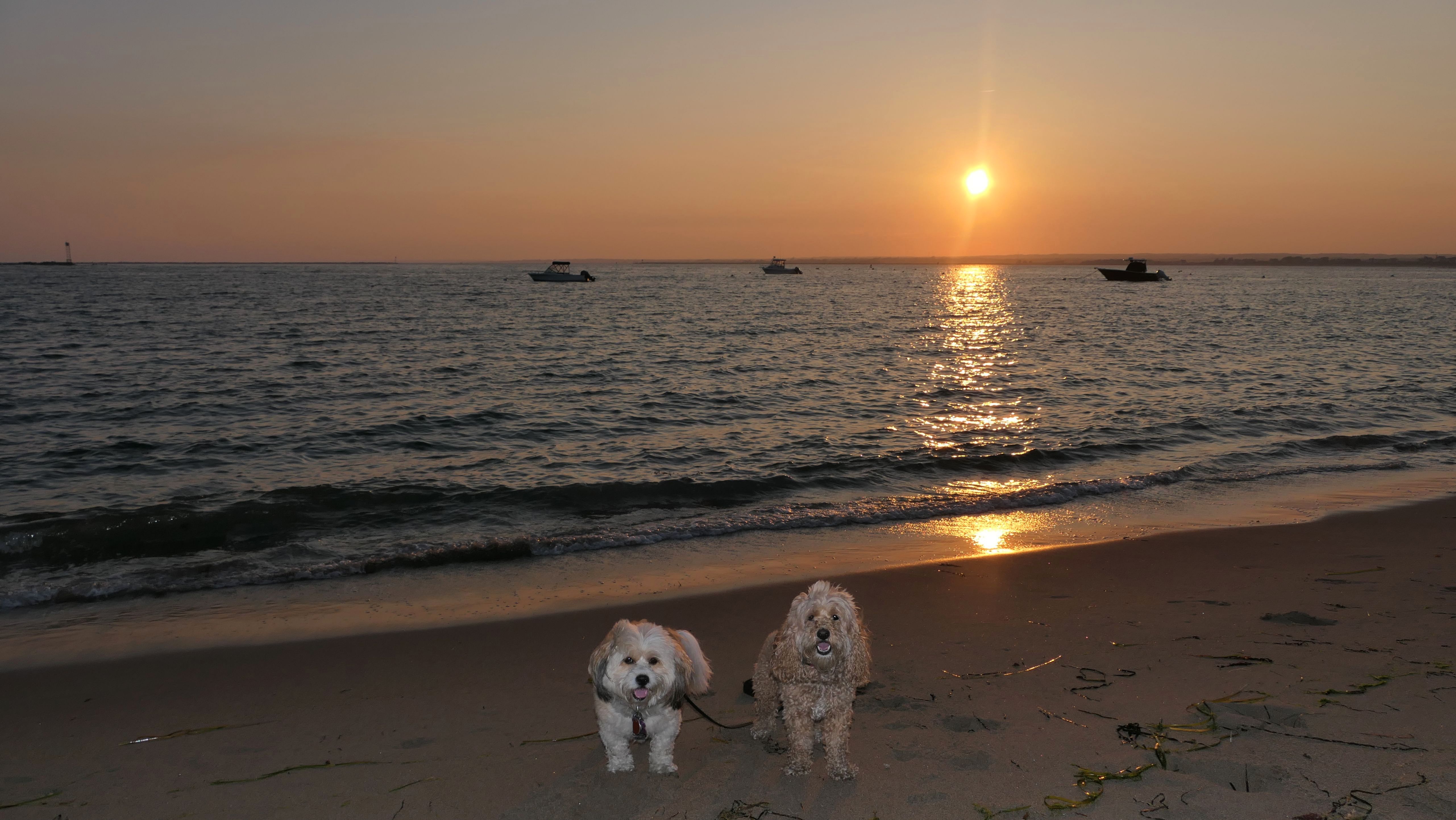
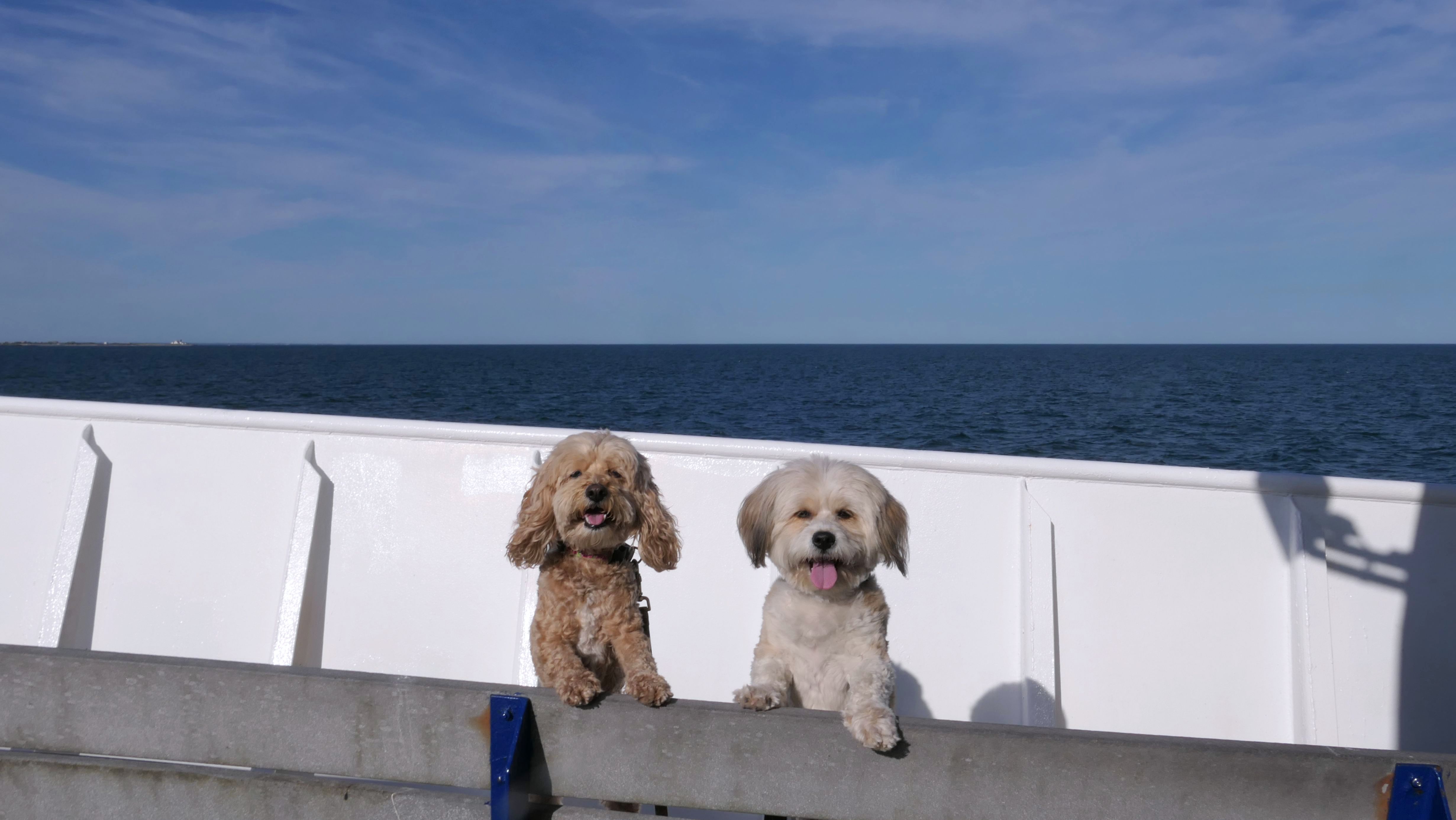
Block Island Ferry
Date visited: 6/3/2025
This was our third trip on the ferry to Block Island. We utilized the traditional ferry again. The ride over was a little choppy, but the ride back was smooth and pleasant.
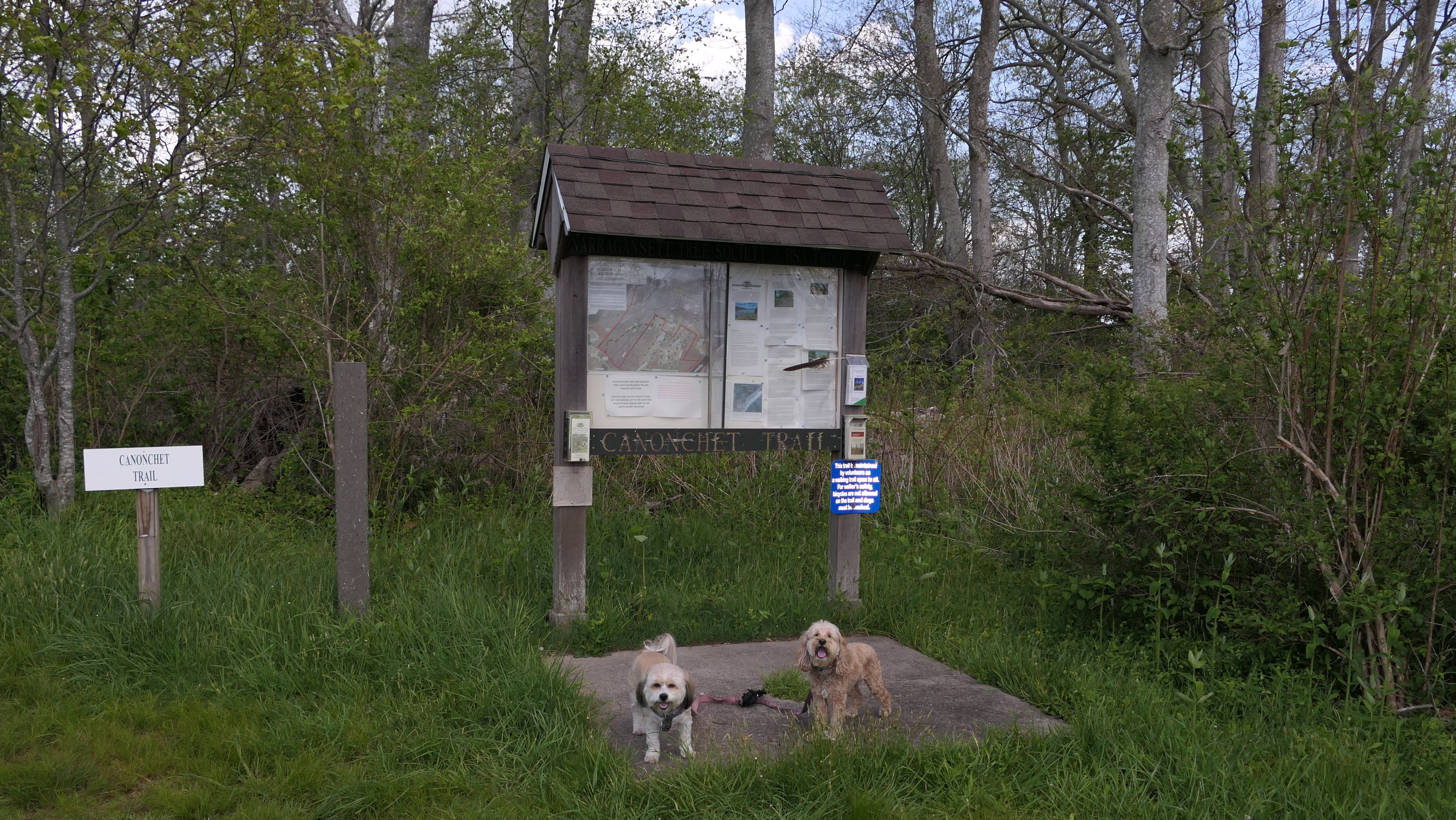
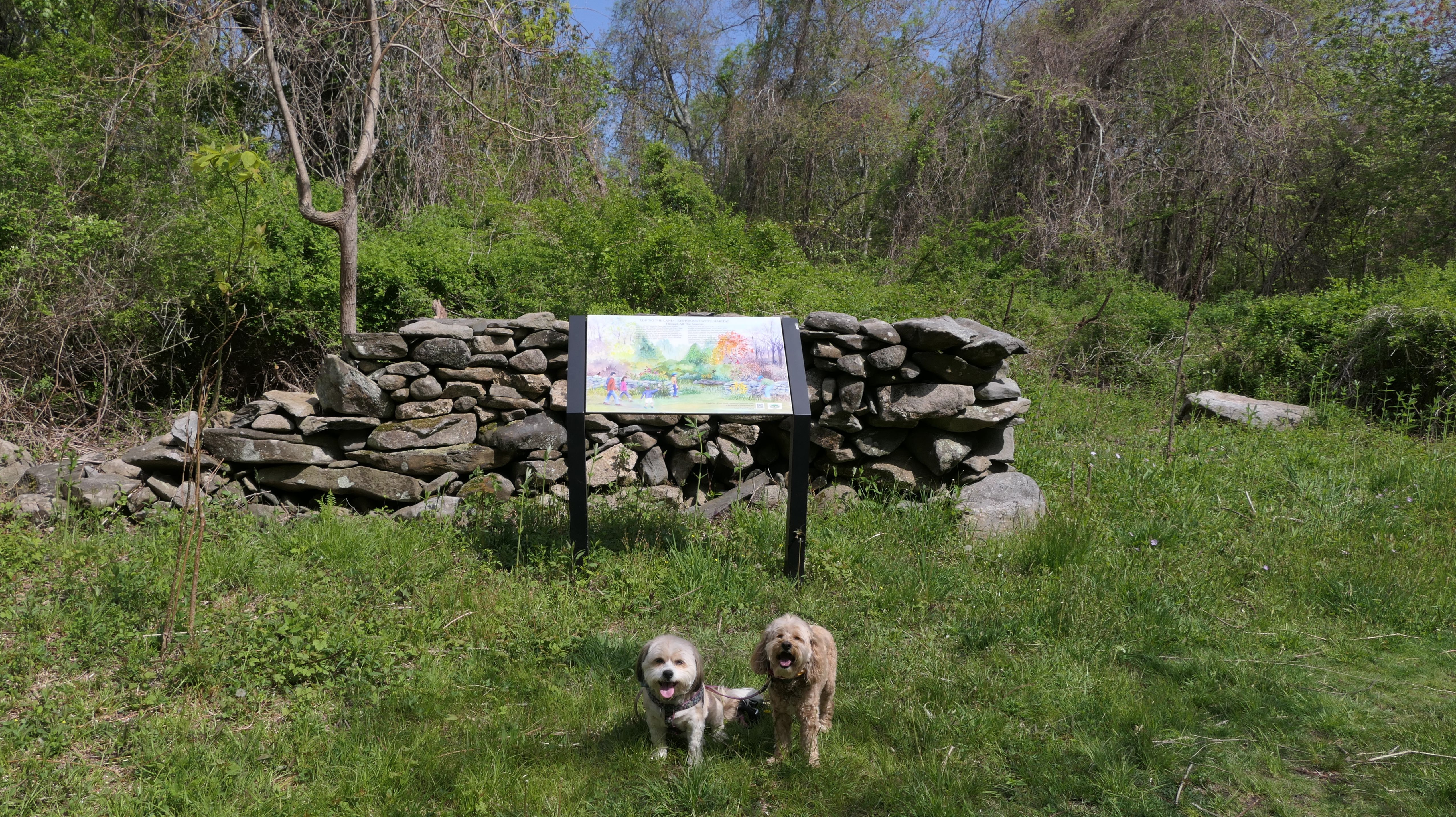
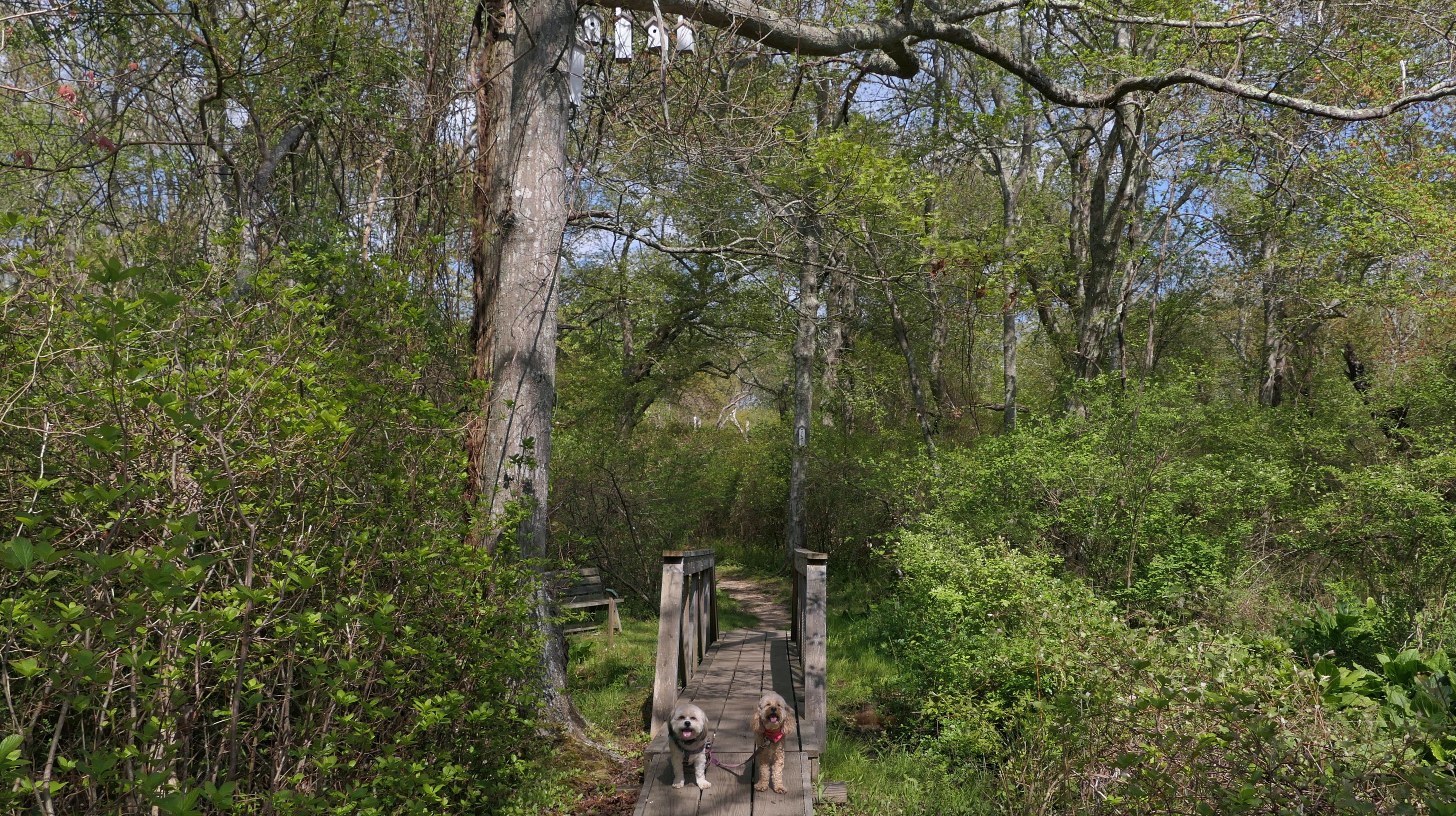
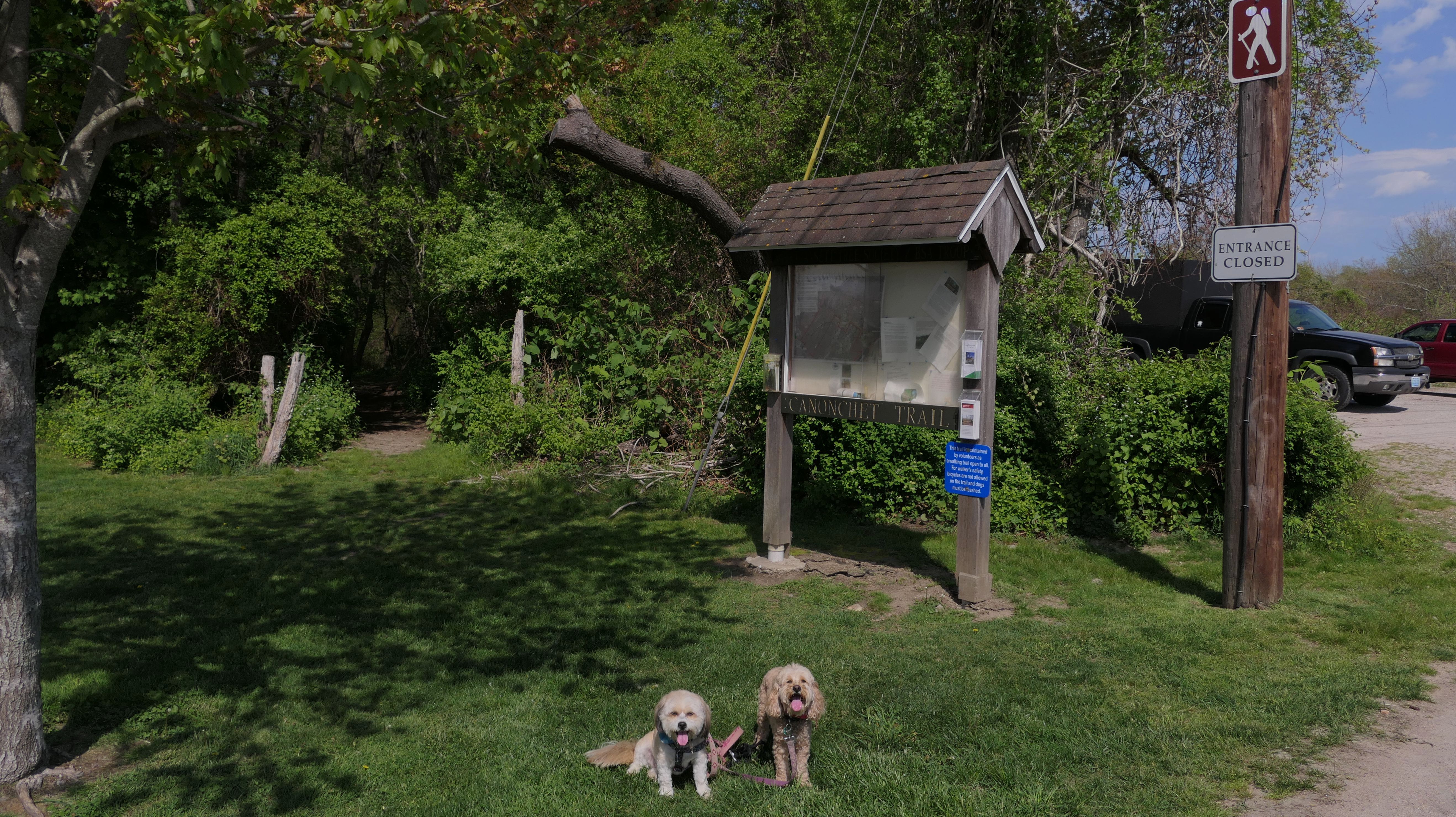
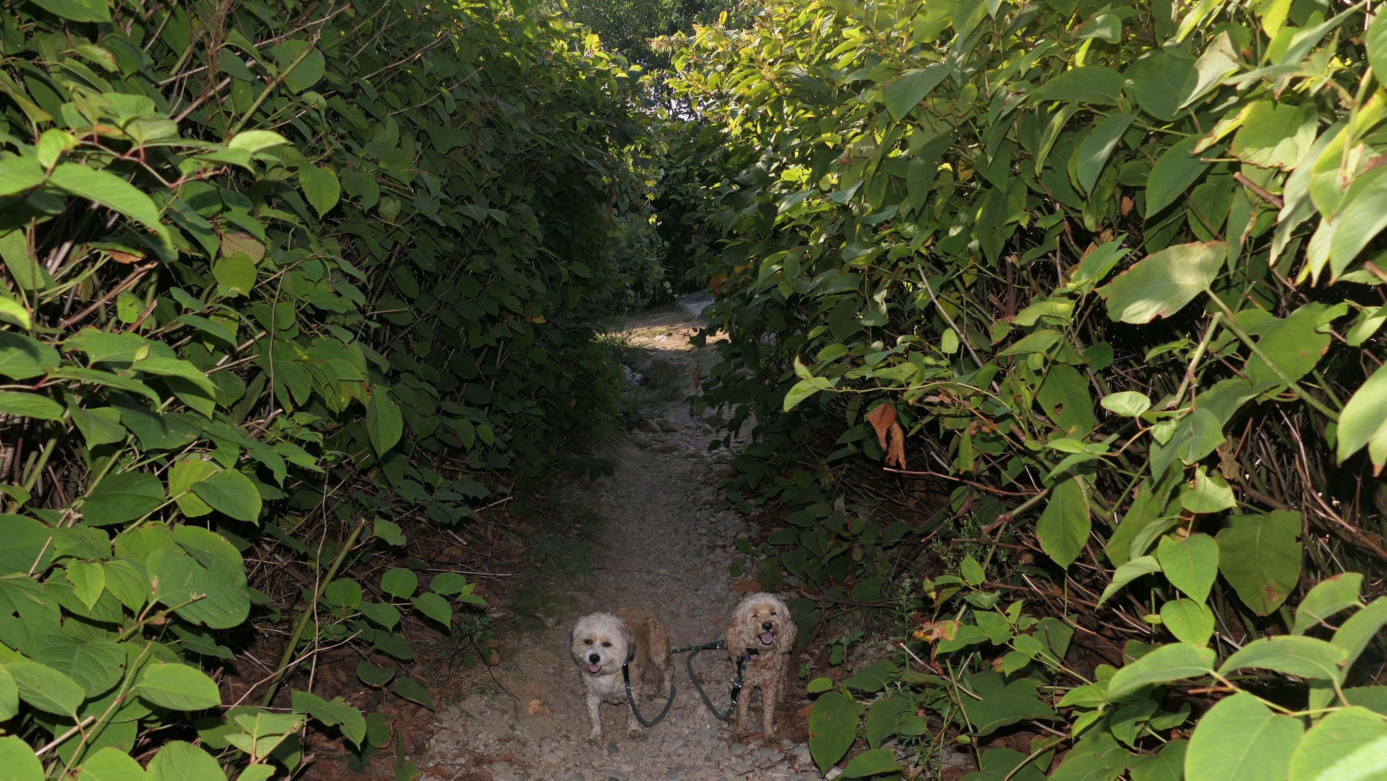
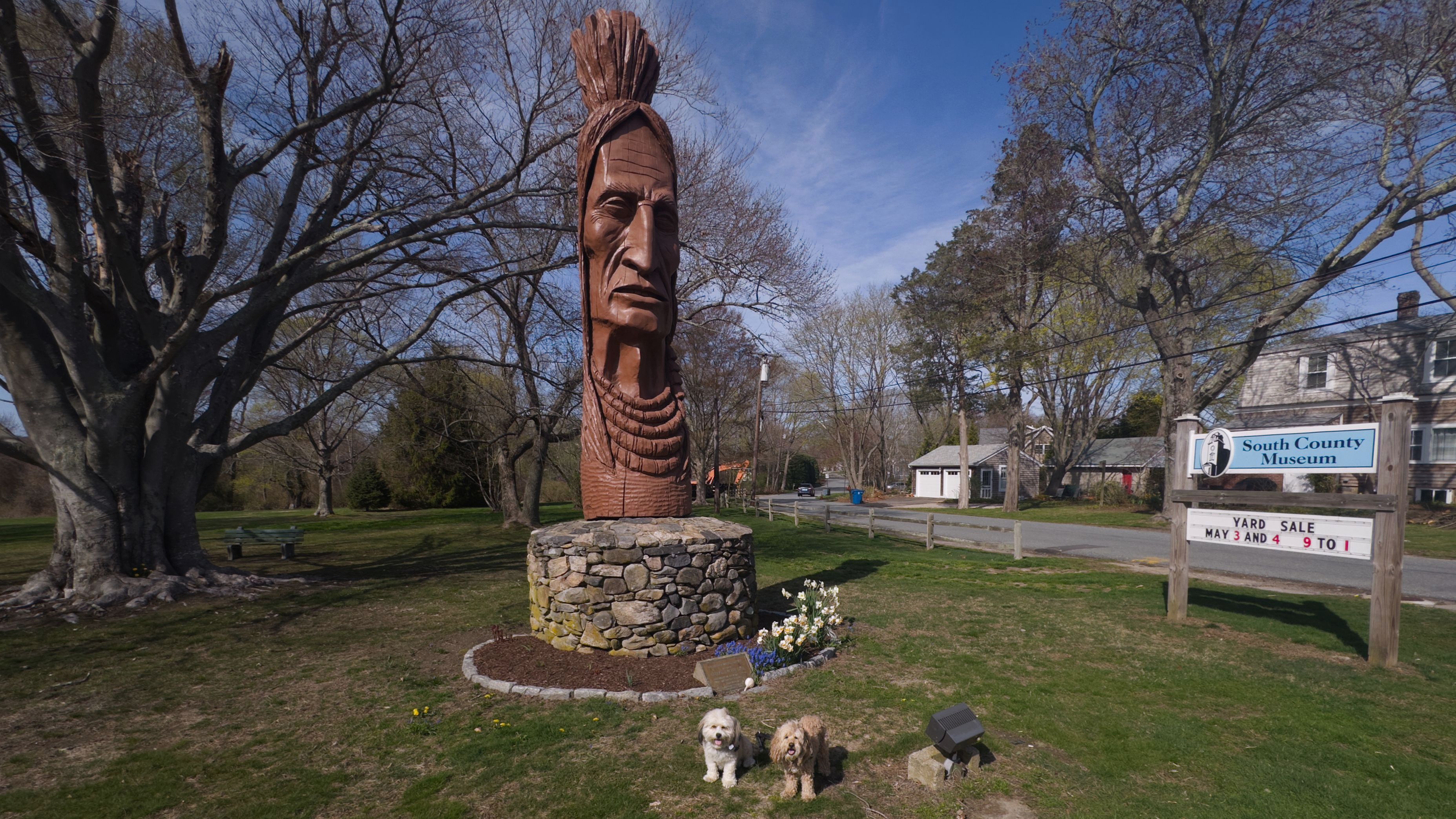
Canonchet Farm Trail
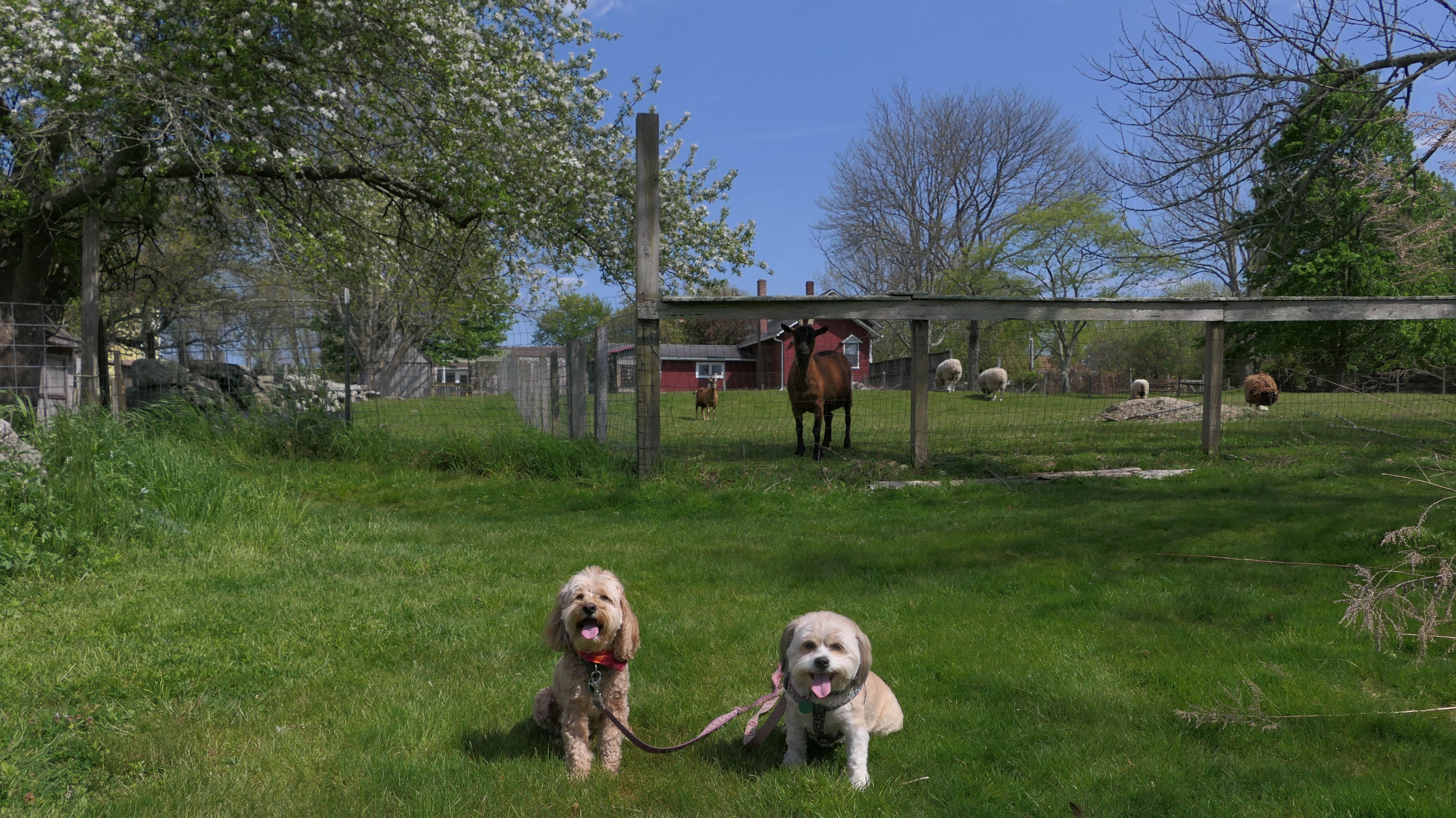
Date visited: 5/12/2023
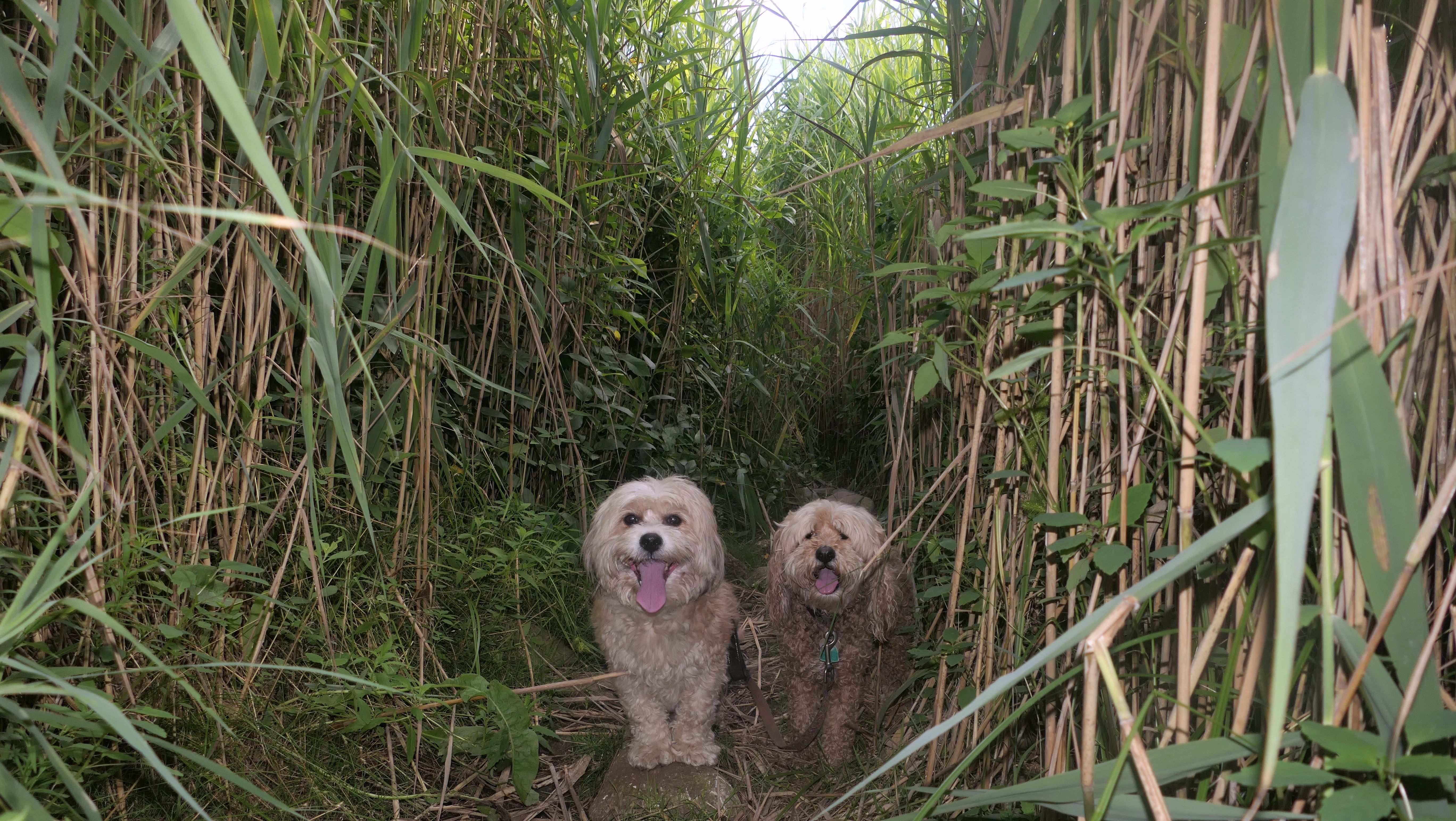
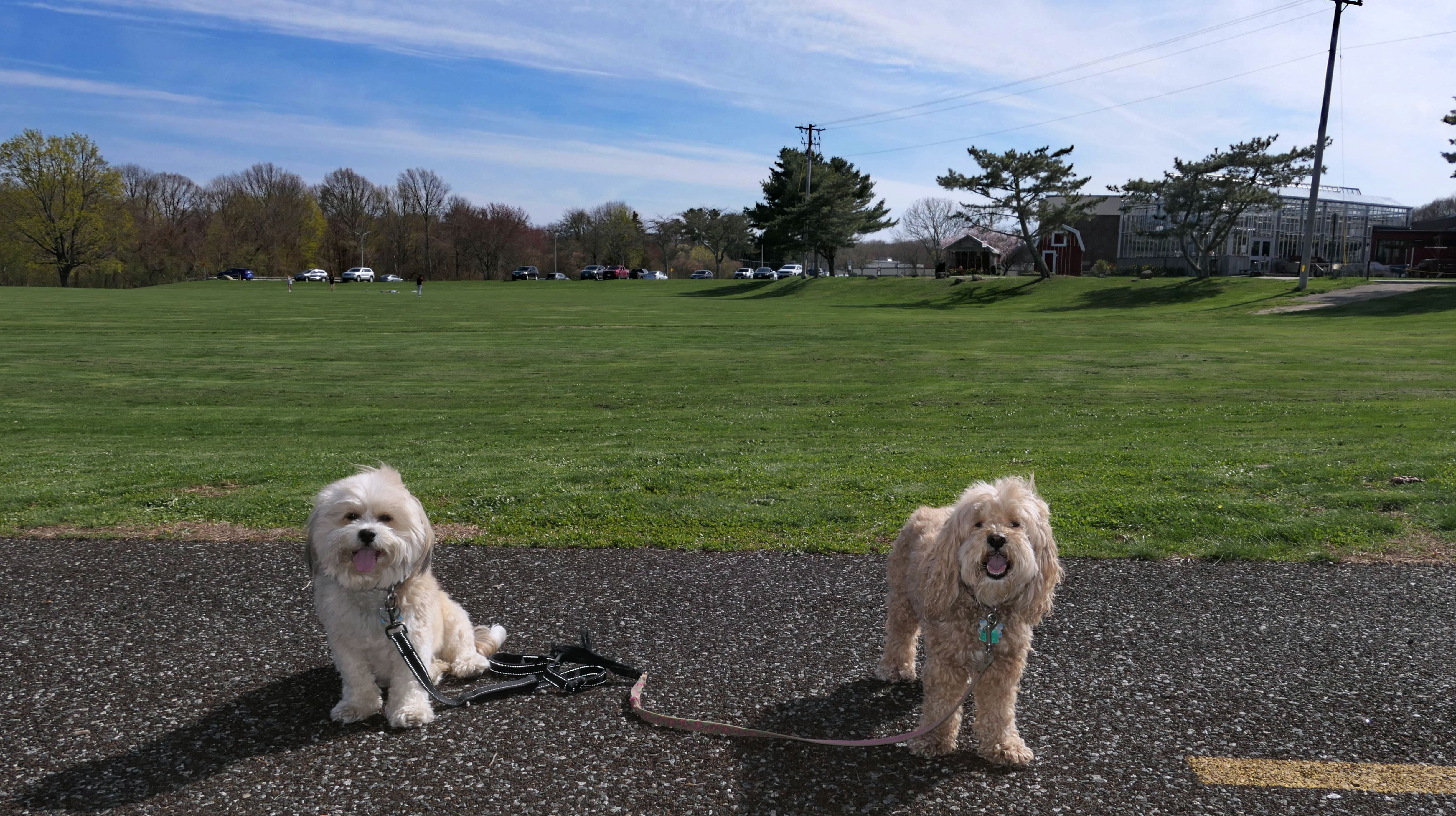
This is a beatiful trail. We parked at Narragansett Town Beach, and headed to the trail head across the street. It's a completely flat, easy trail that heads to the South County Museum (you can park for free here to access the trail during the beach season), and eventually ends at the Community Center near the Elementary School. Near the museum, the trail runs right by the farm animals. As you can see in the photo, Mr. Goat insisted on posing for a picture as well. As great as this trail is, there is one huge problem with it...and that was ticks! The dogs were covered with them! So I would avoid this trail this time of year. I've read that the bugs are relentless during the summer months, so that might not be a great time either. It probably looks pretty "bleh" in the winter, so maybe the fall is a good time to visit.
More Images
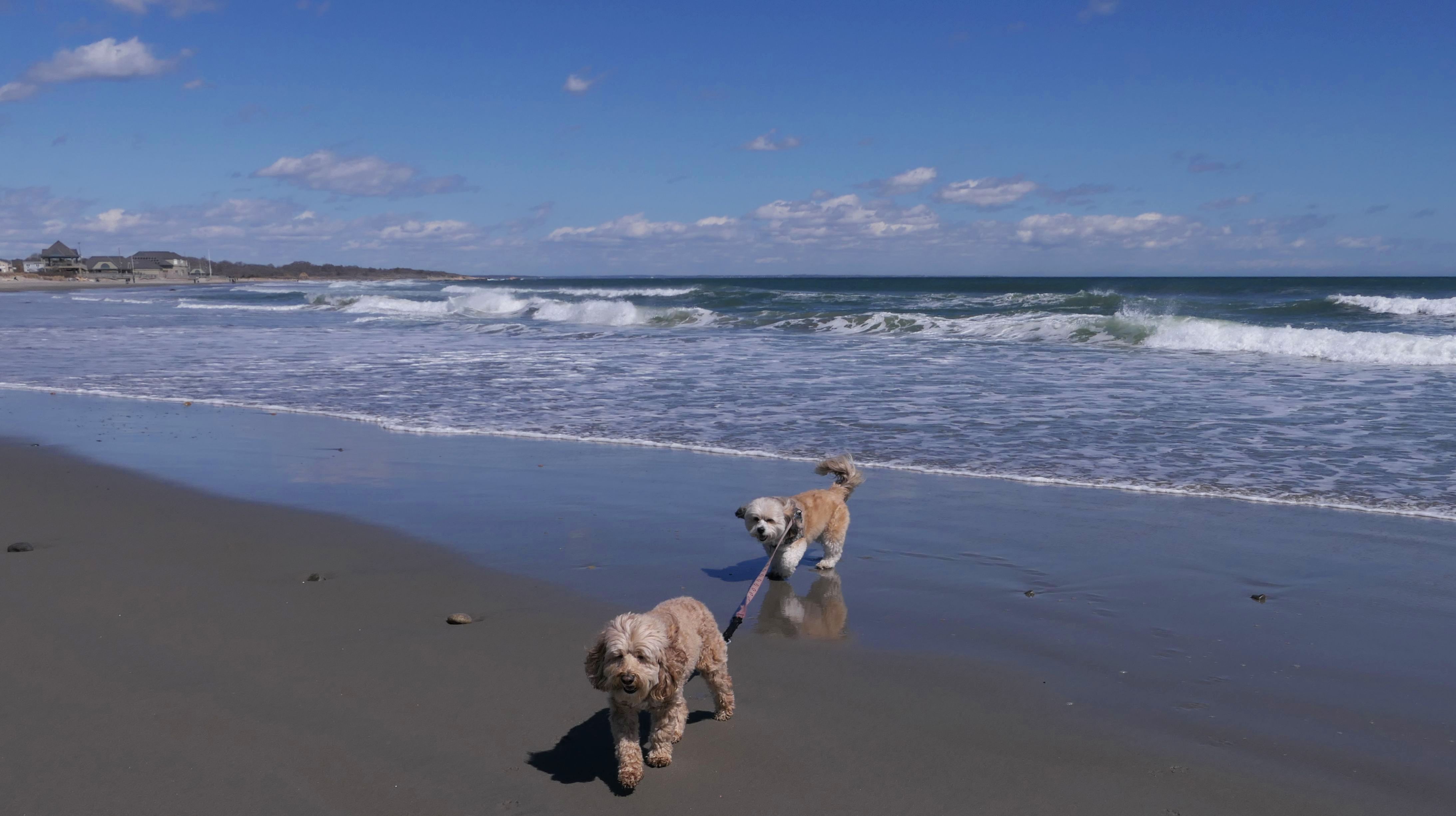
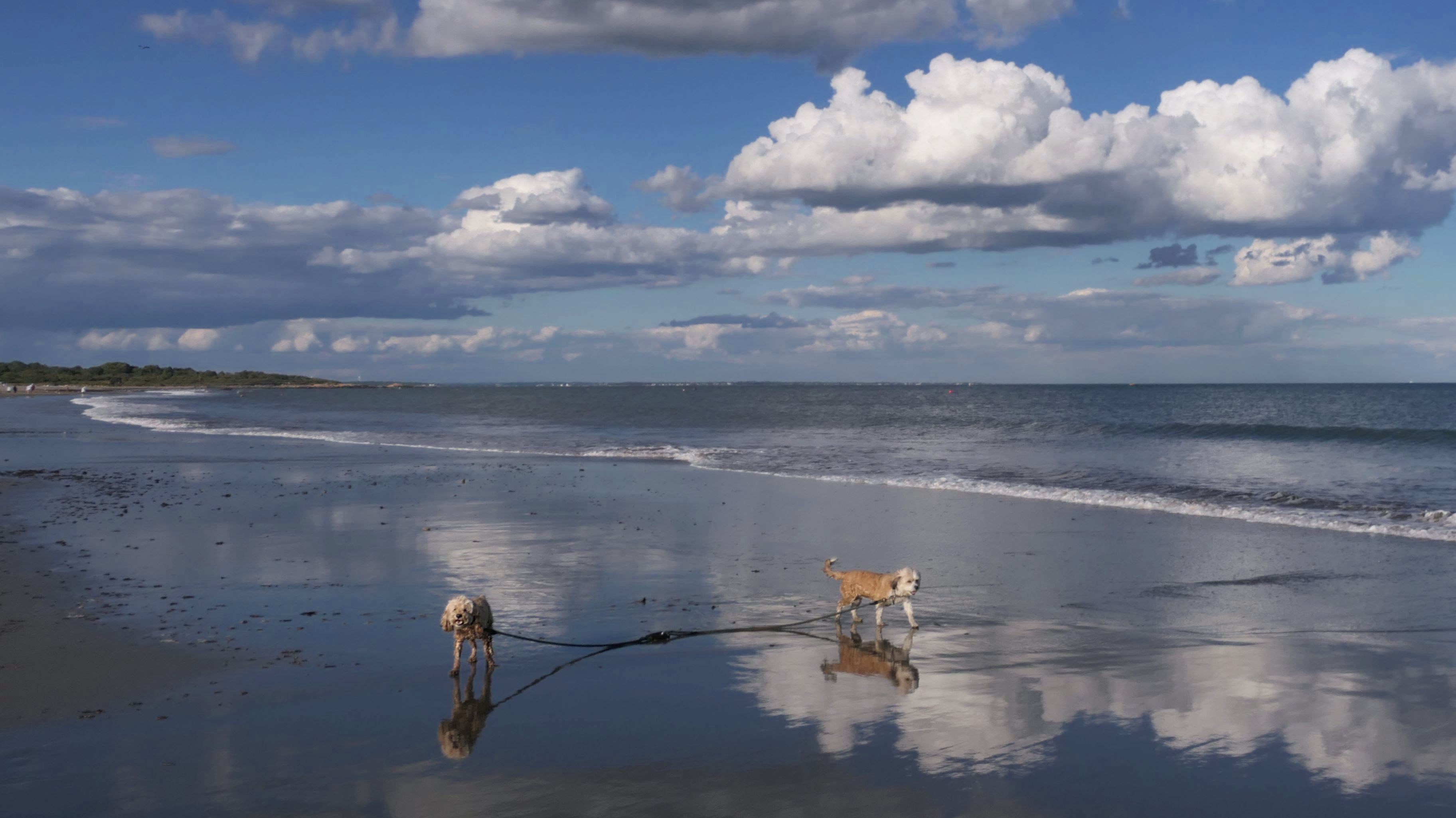
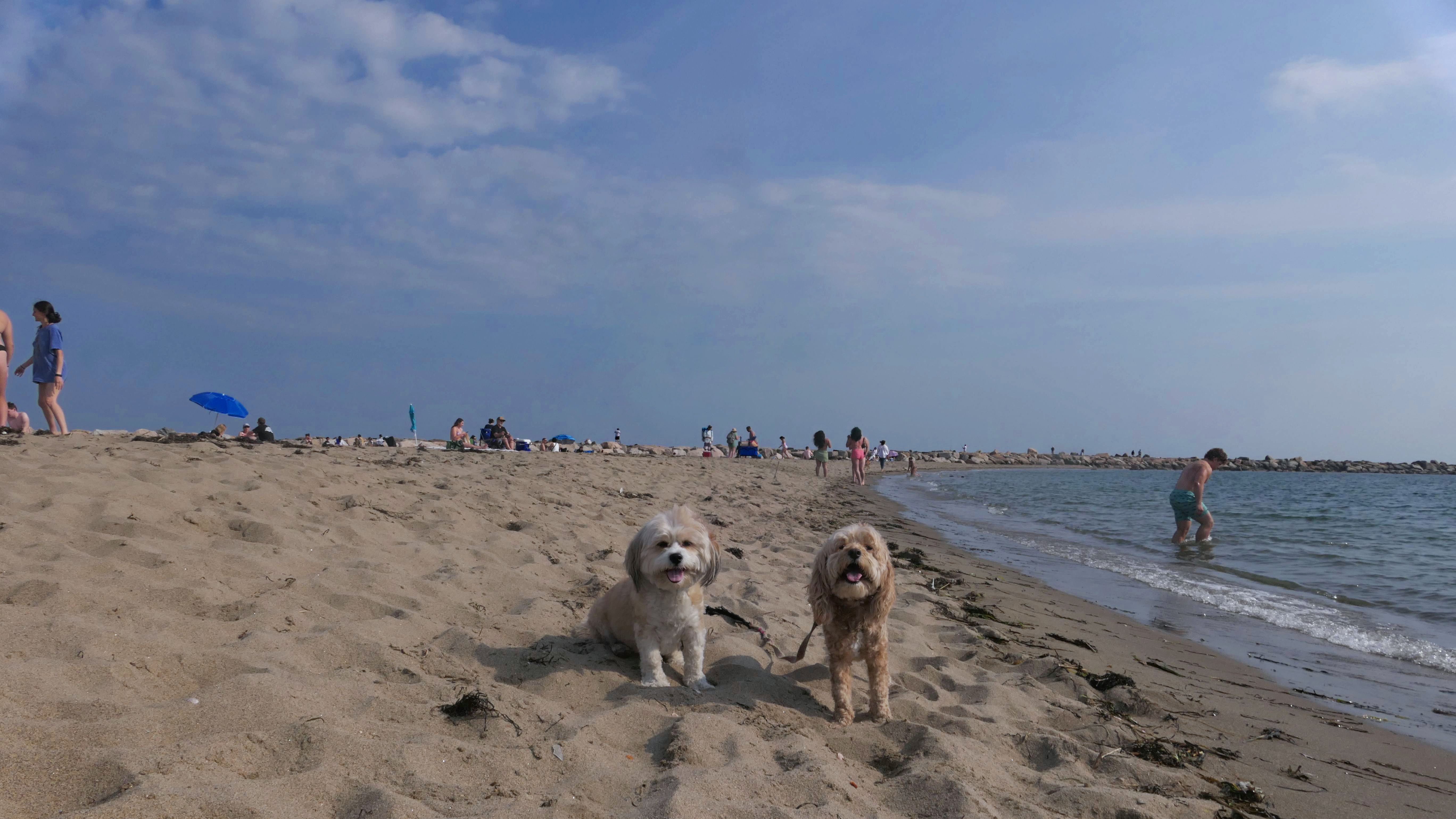
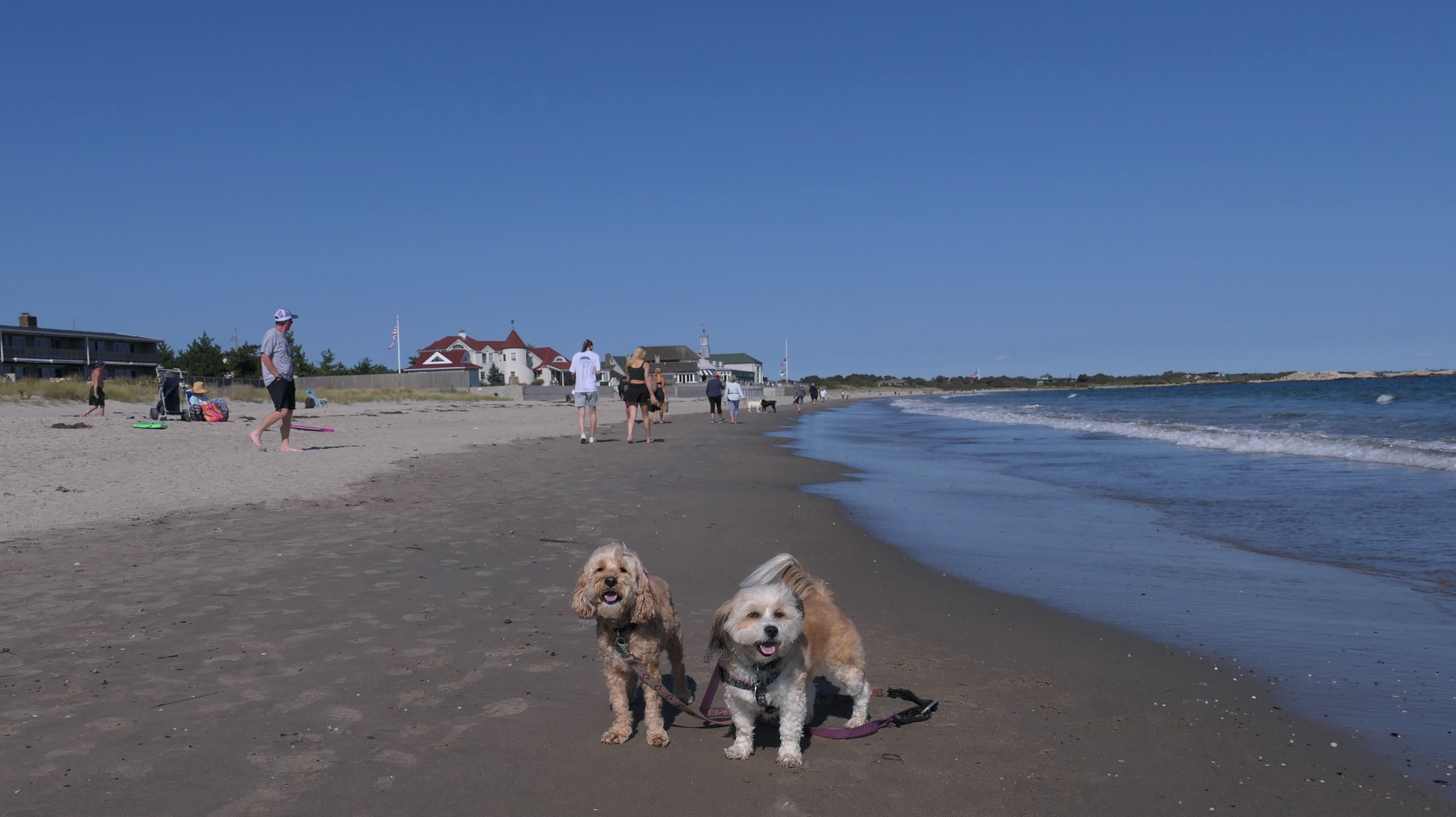
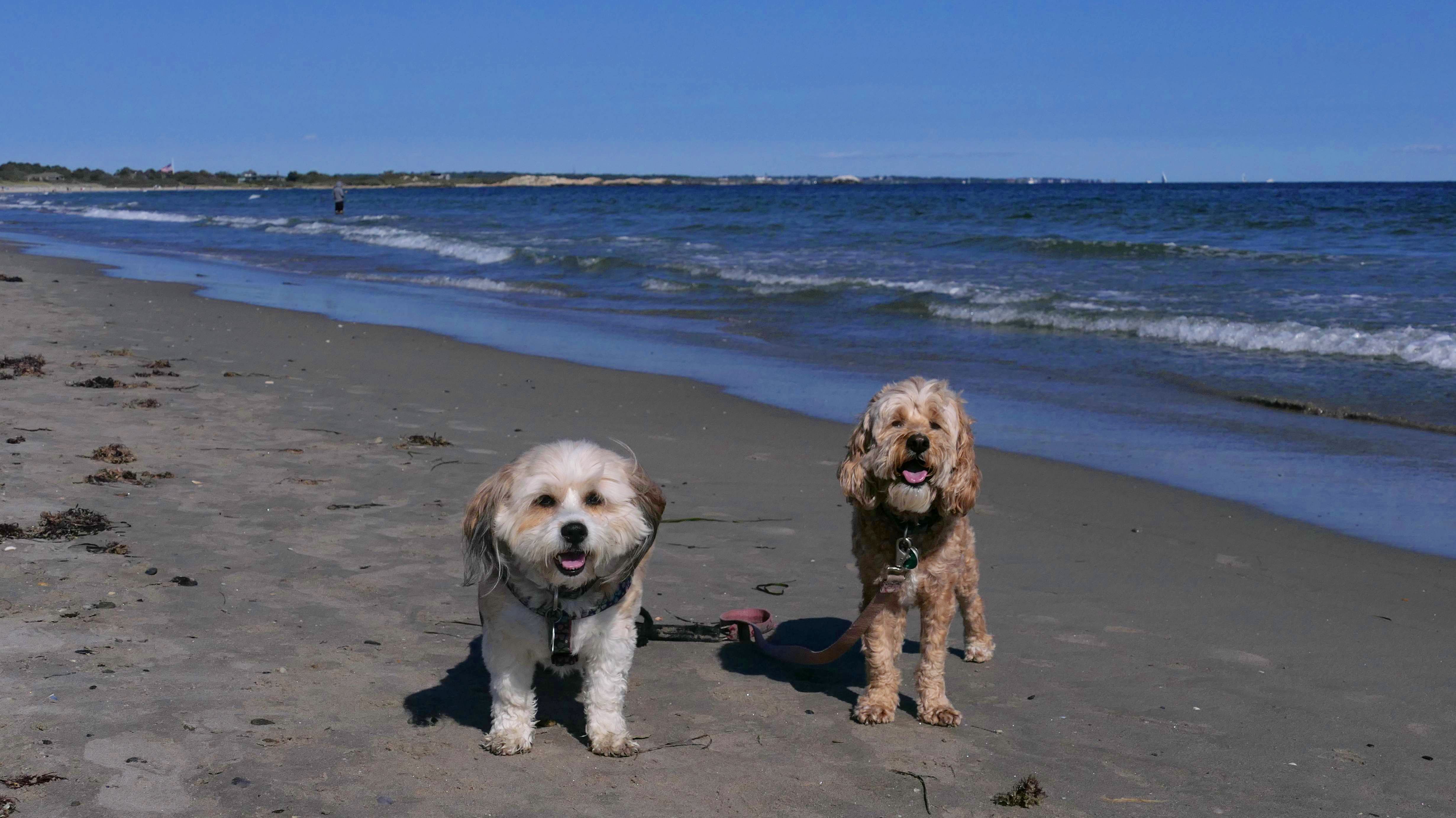
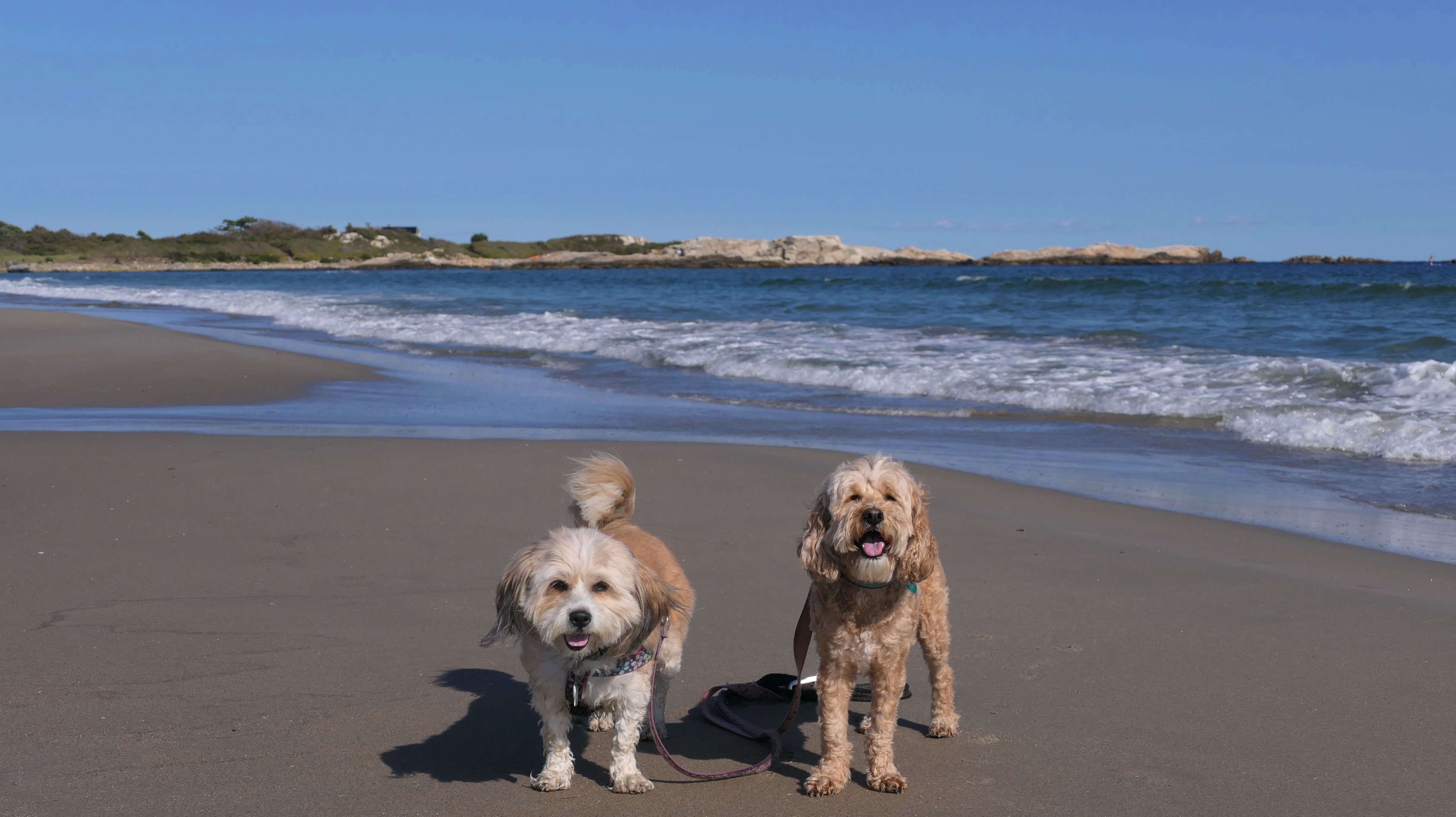
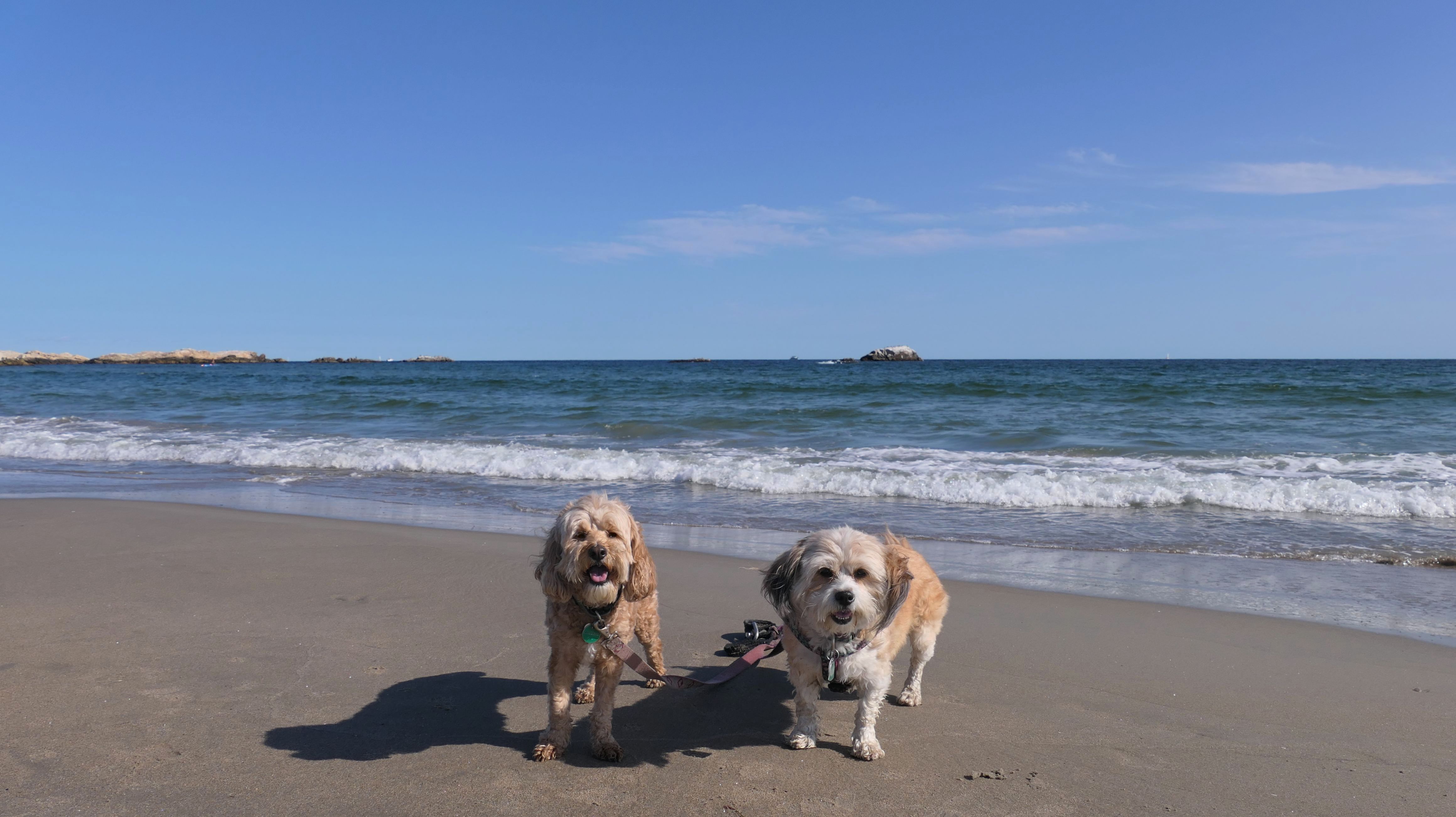
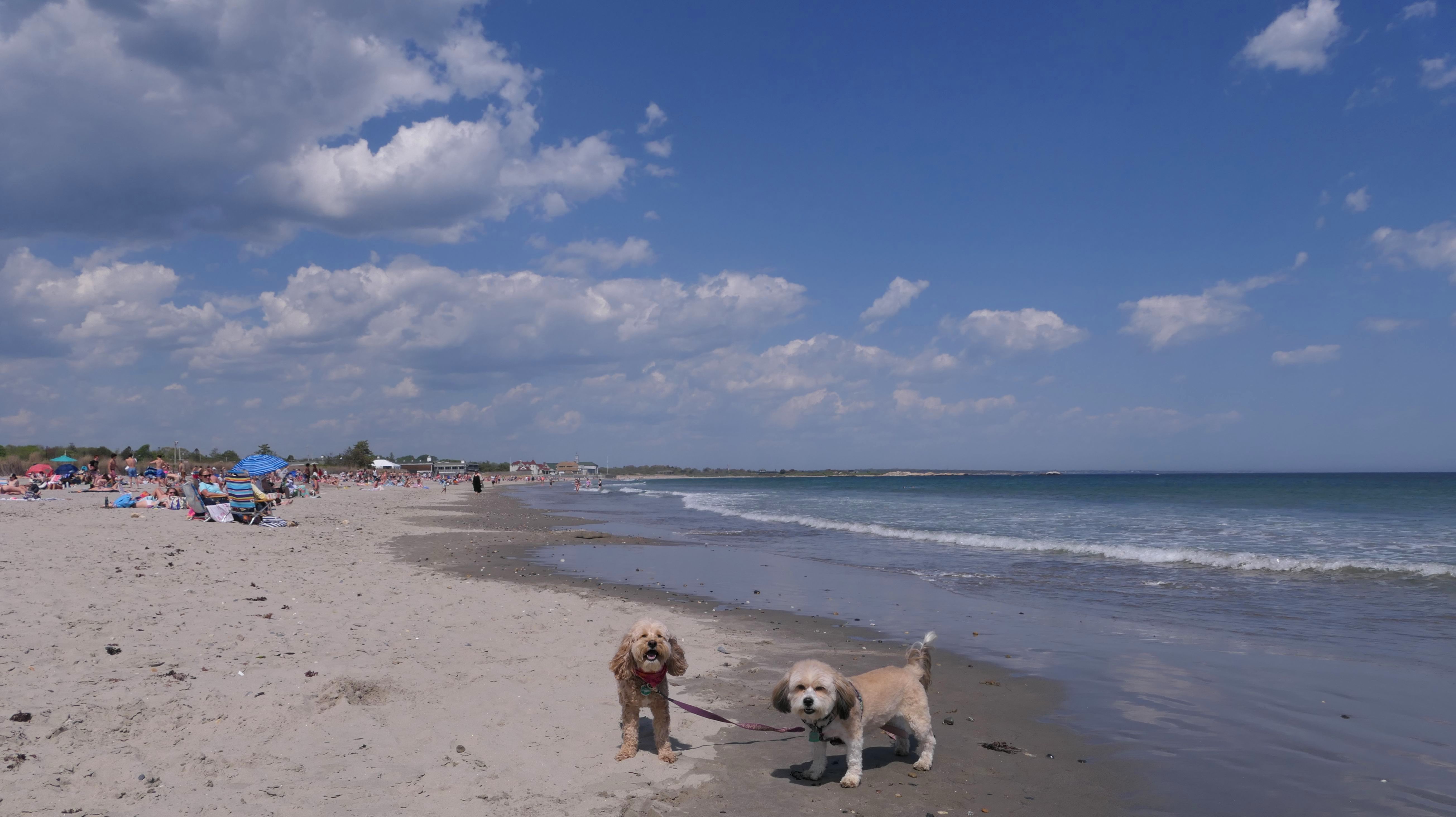
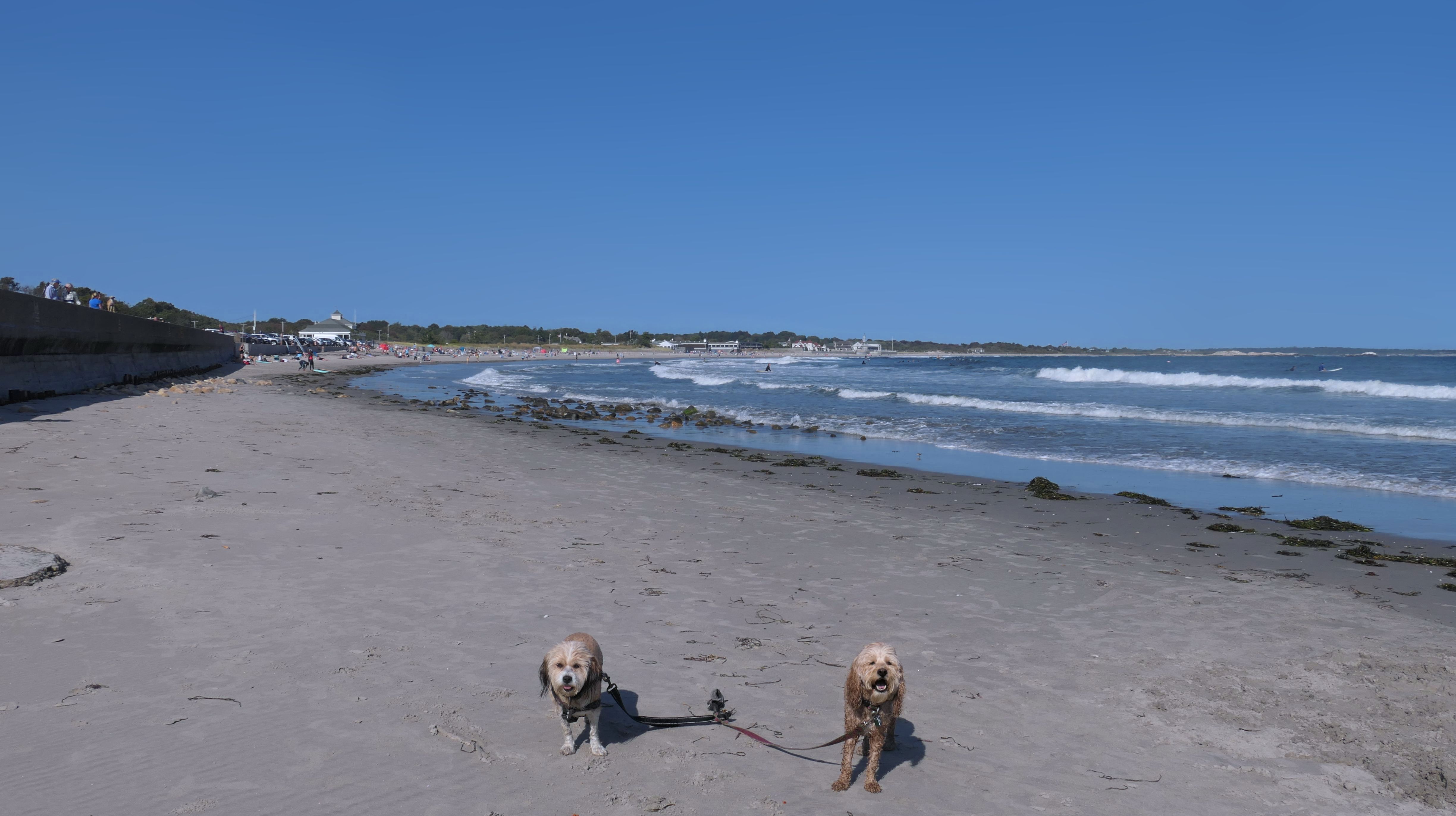
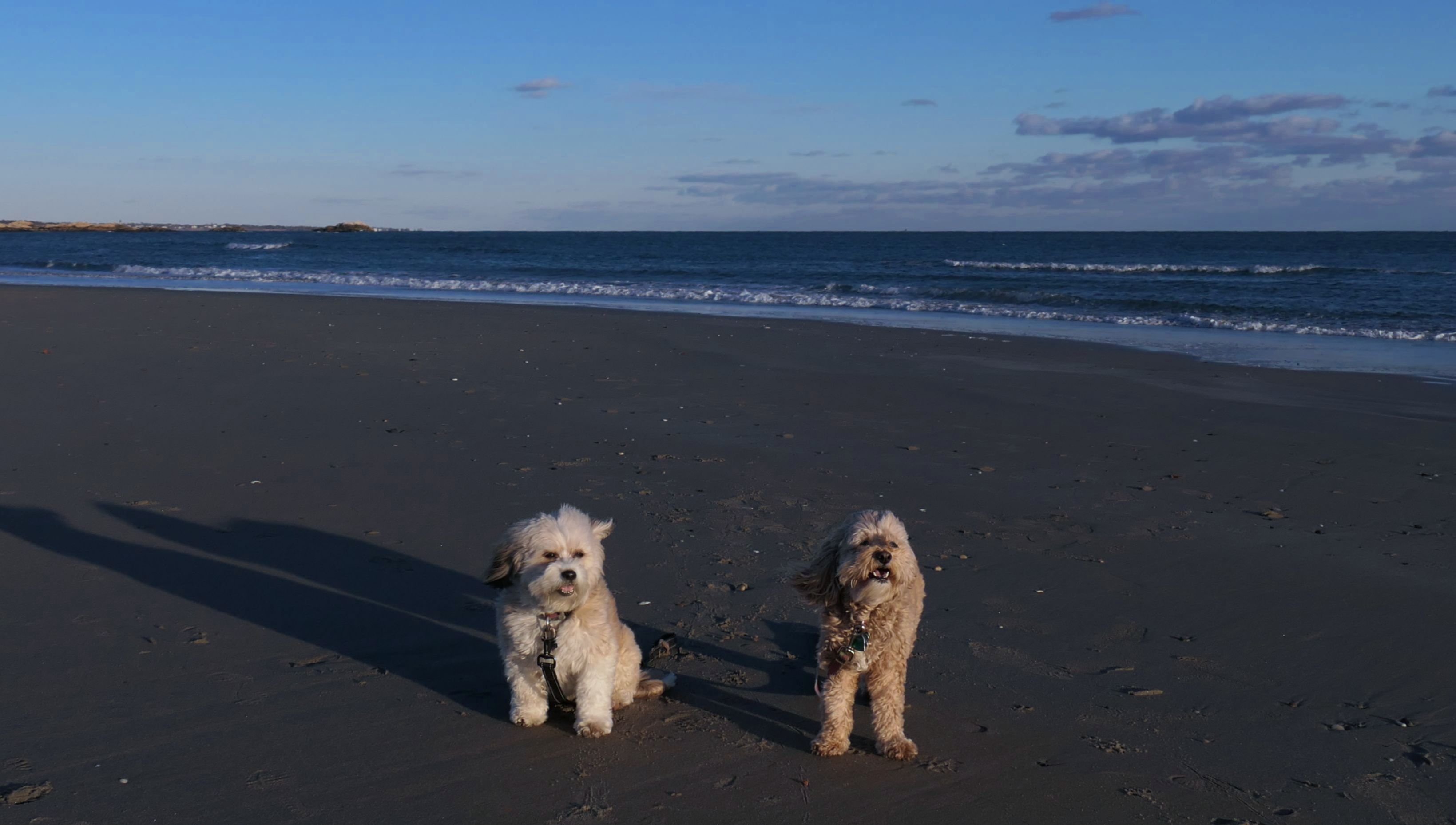
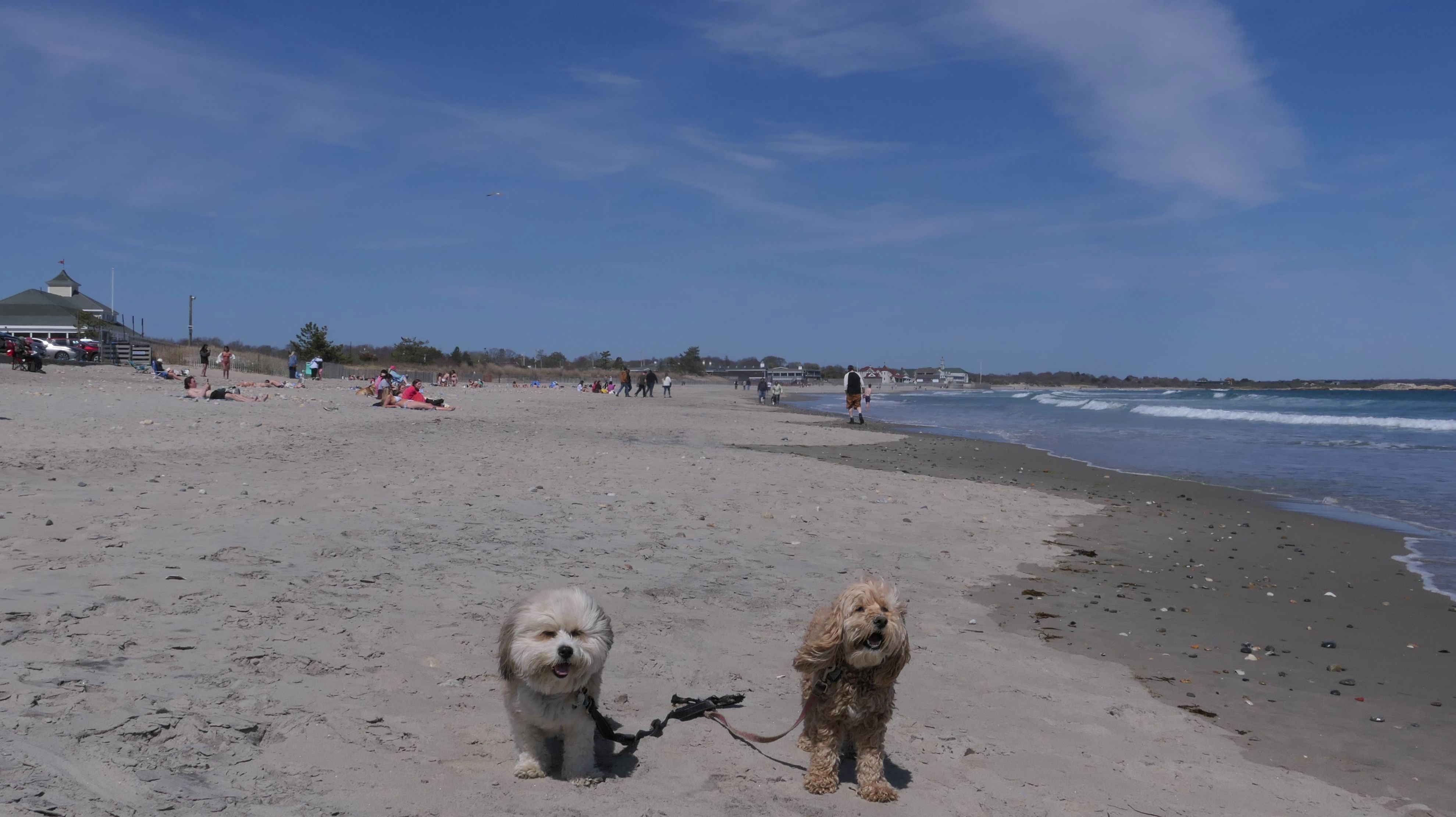
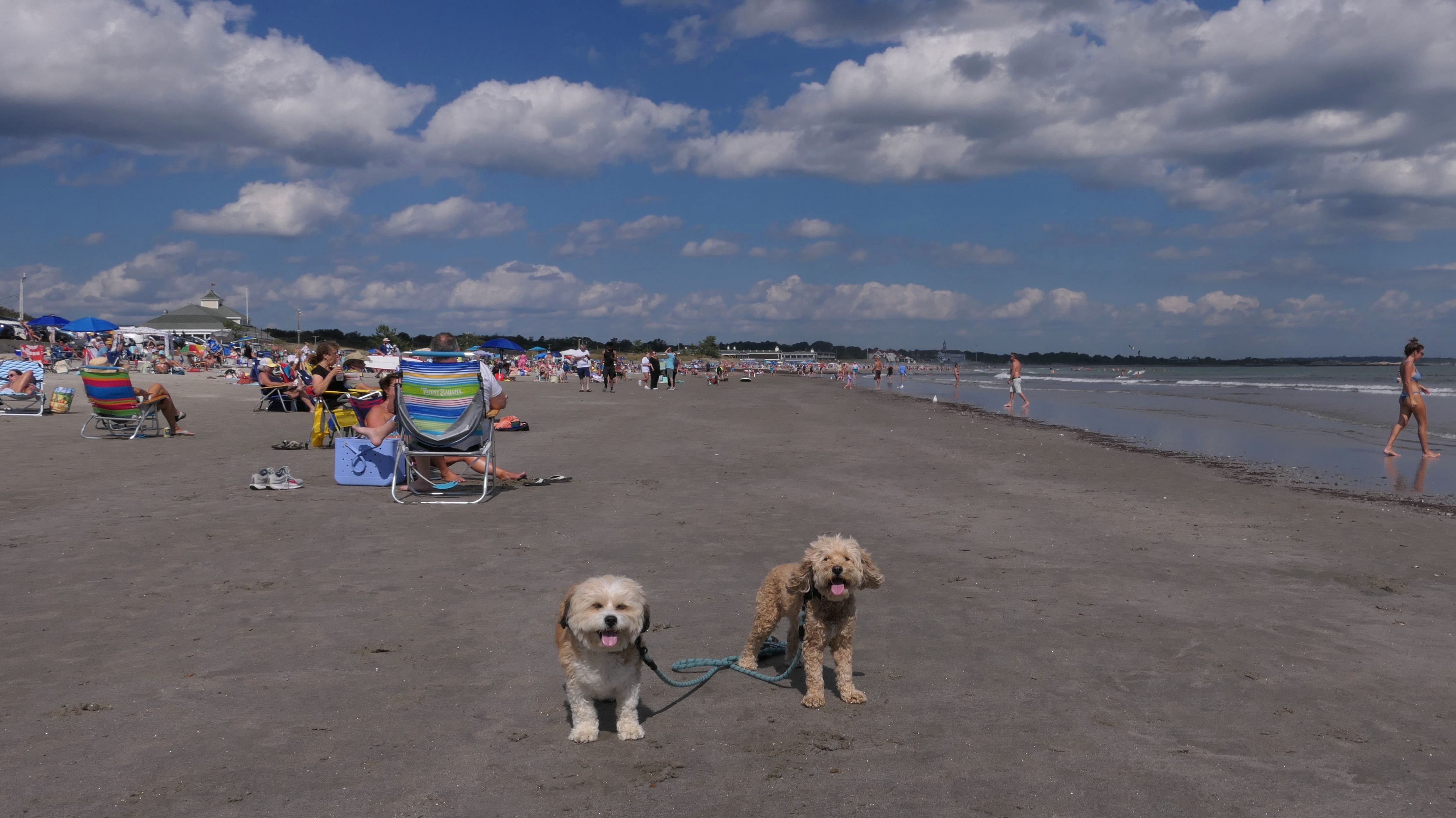
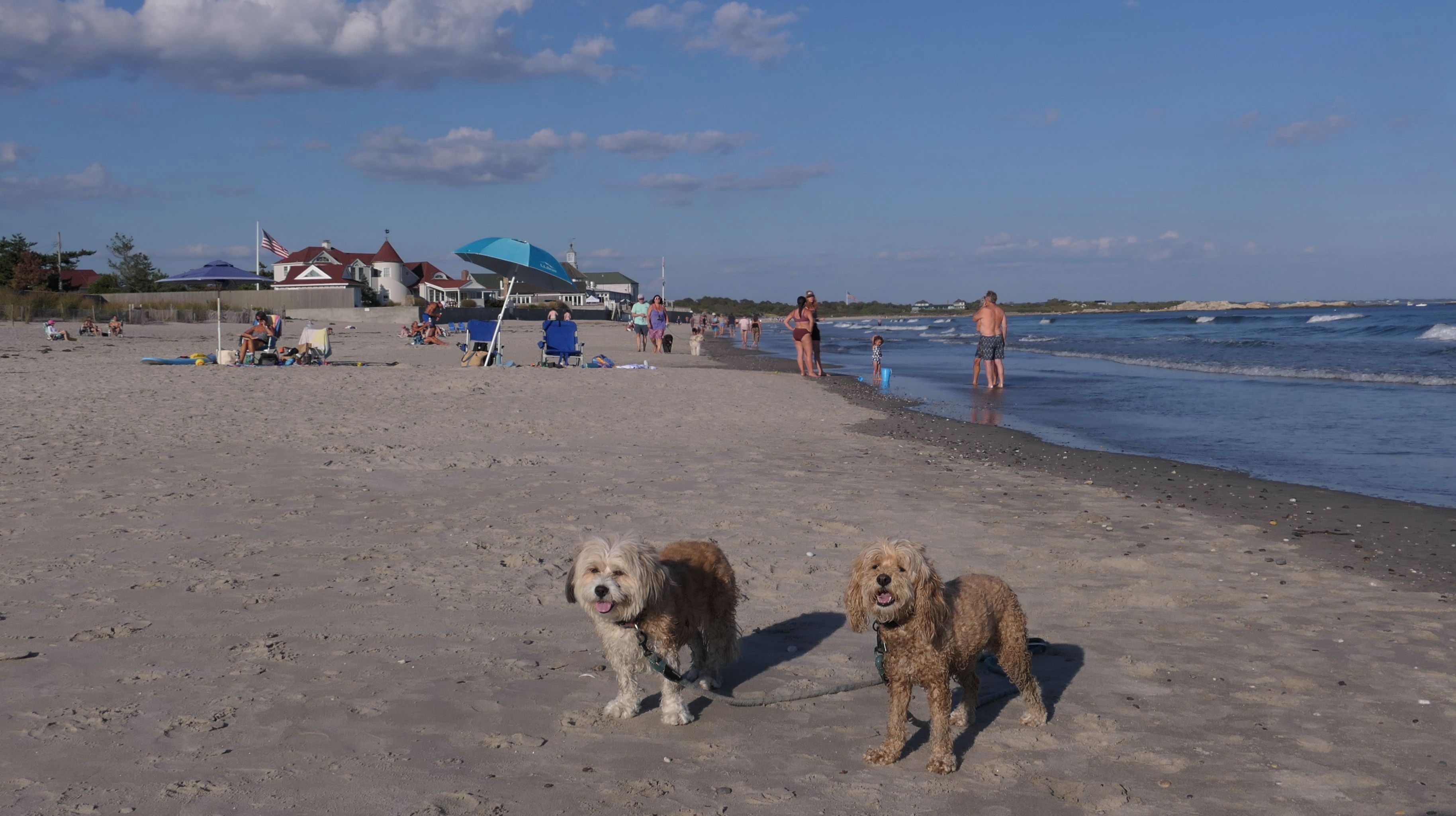
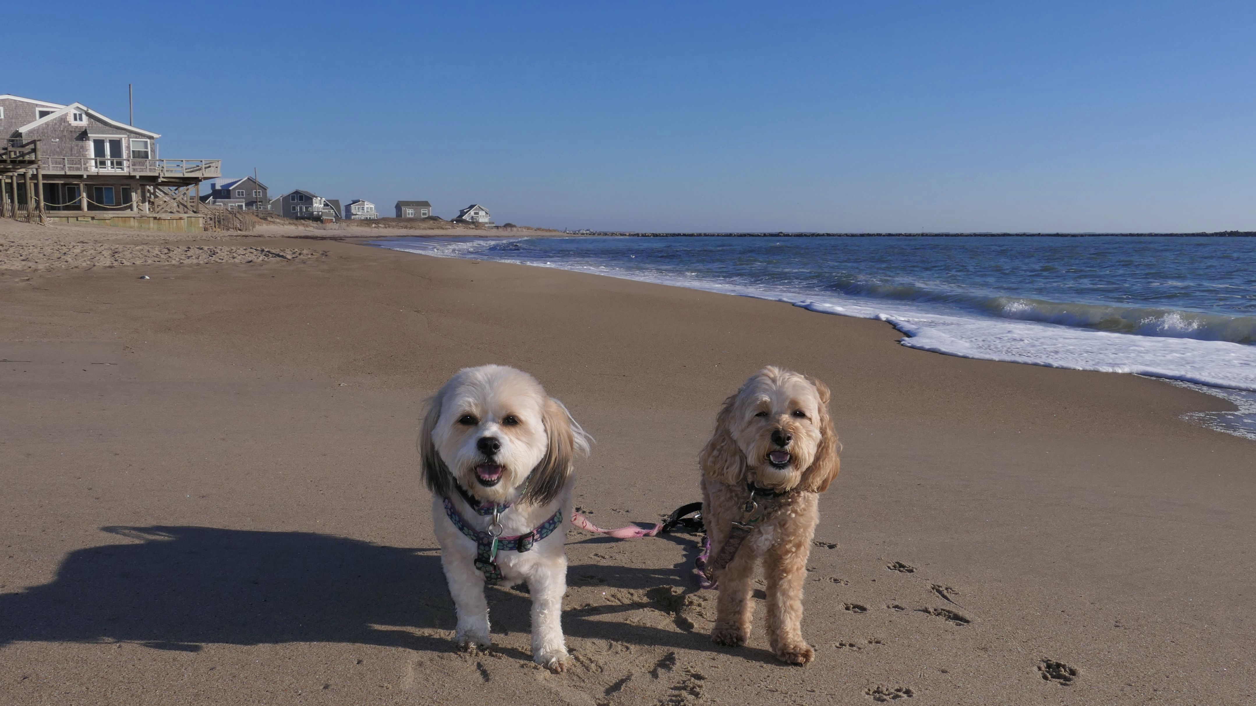
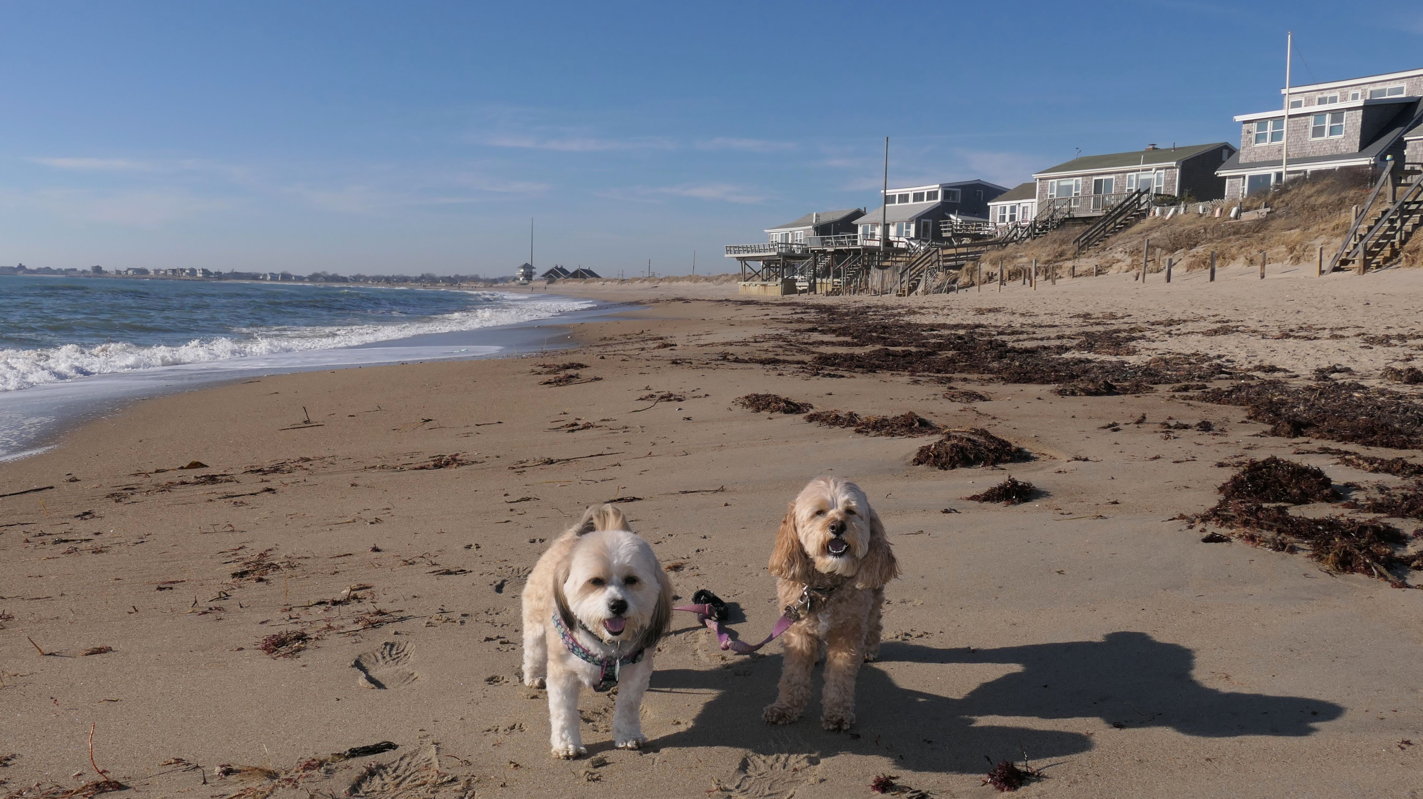
Narragansett Town Beach
Date visited: 9/17/2022
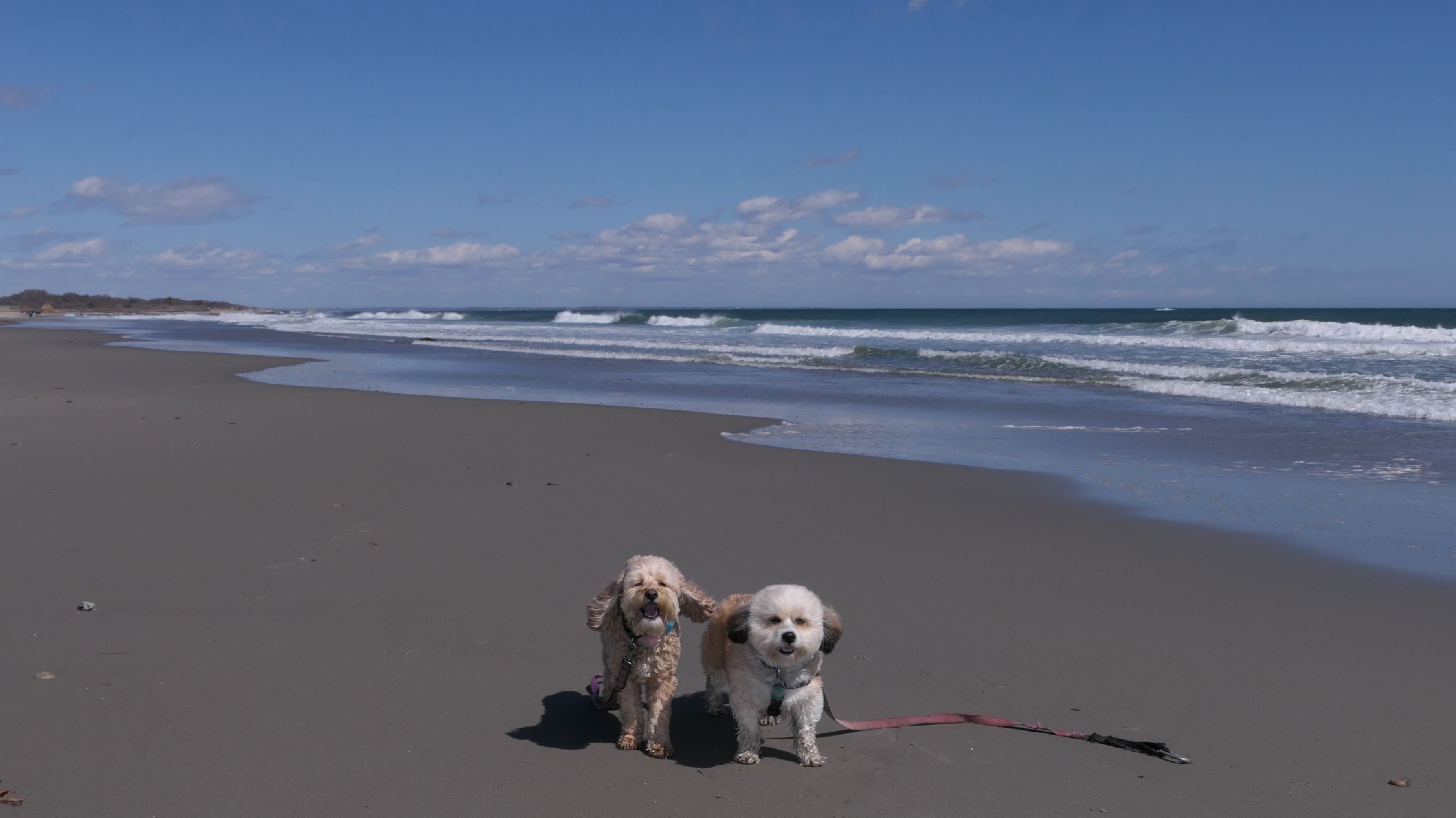
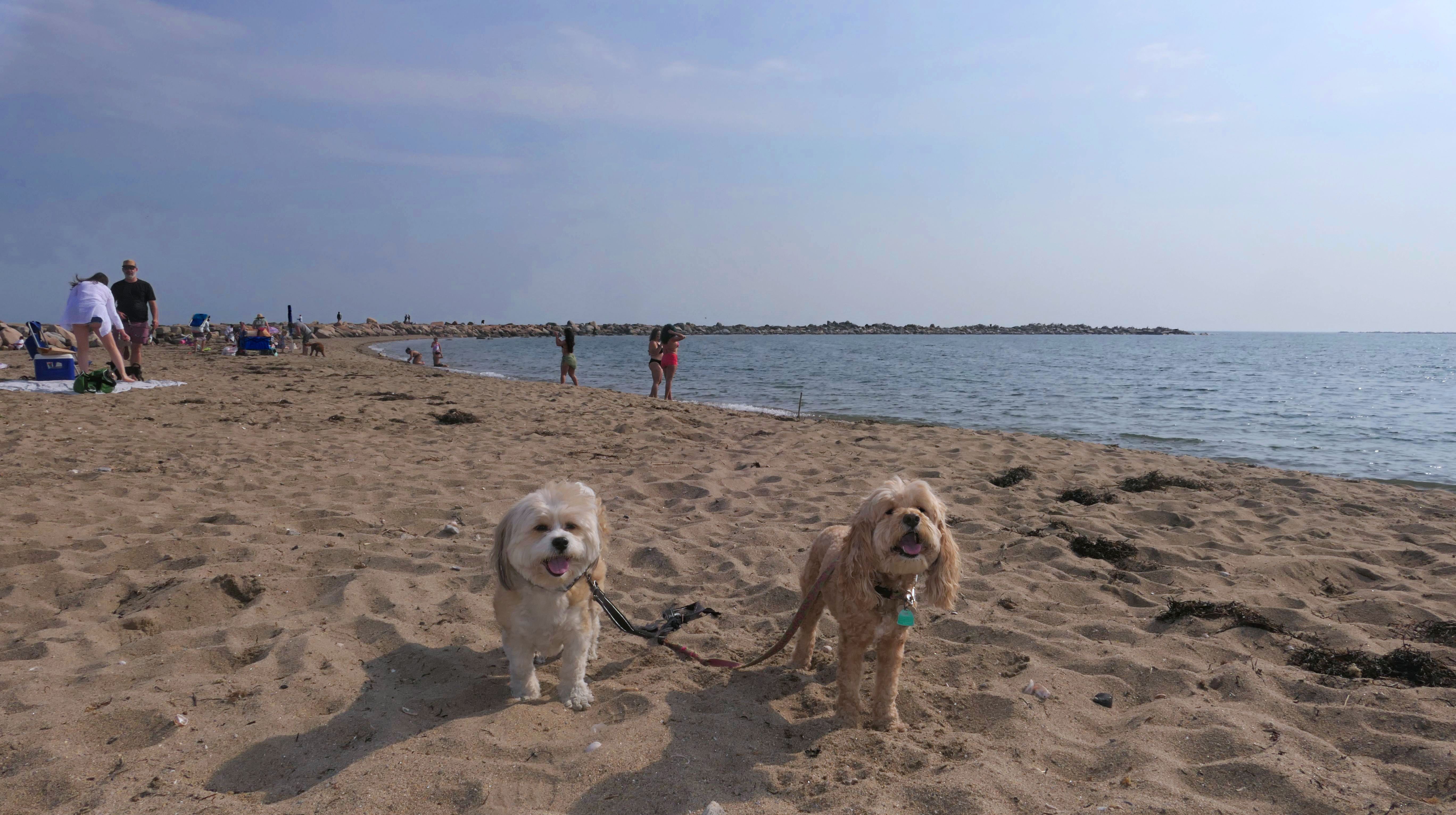
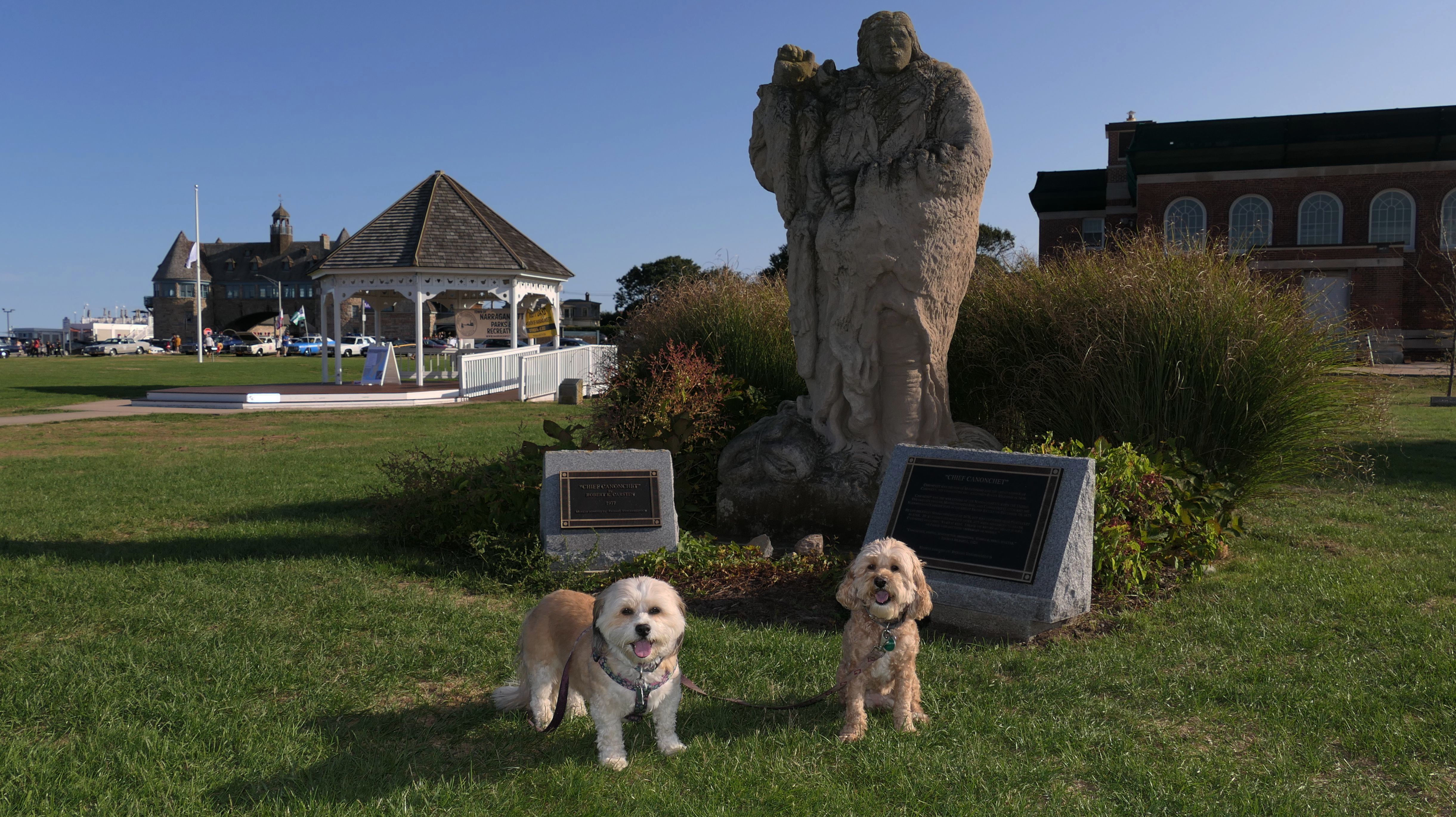
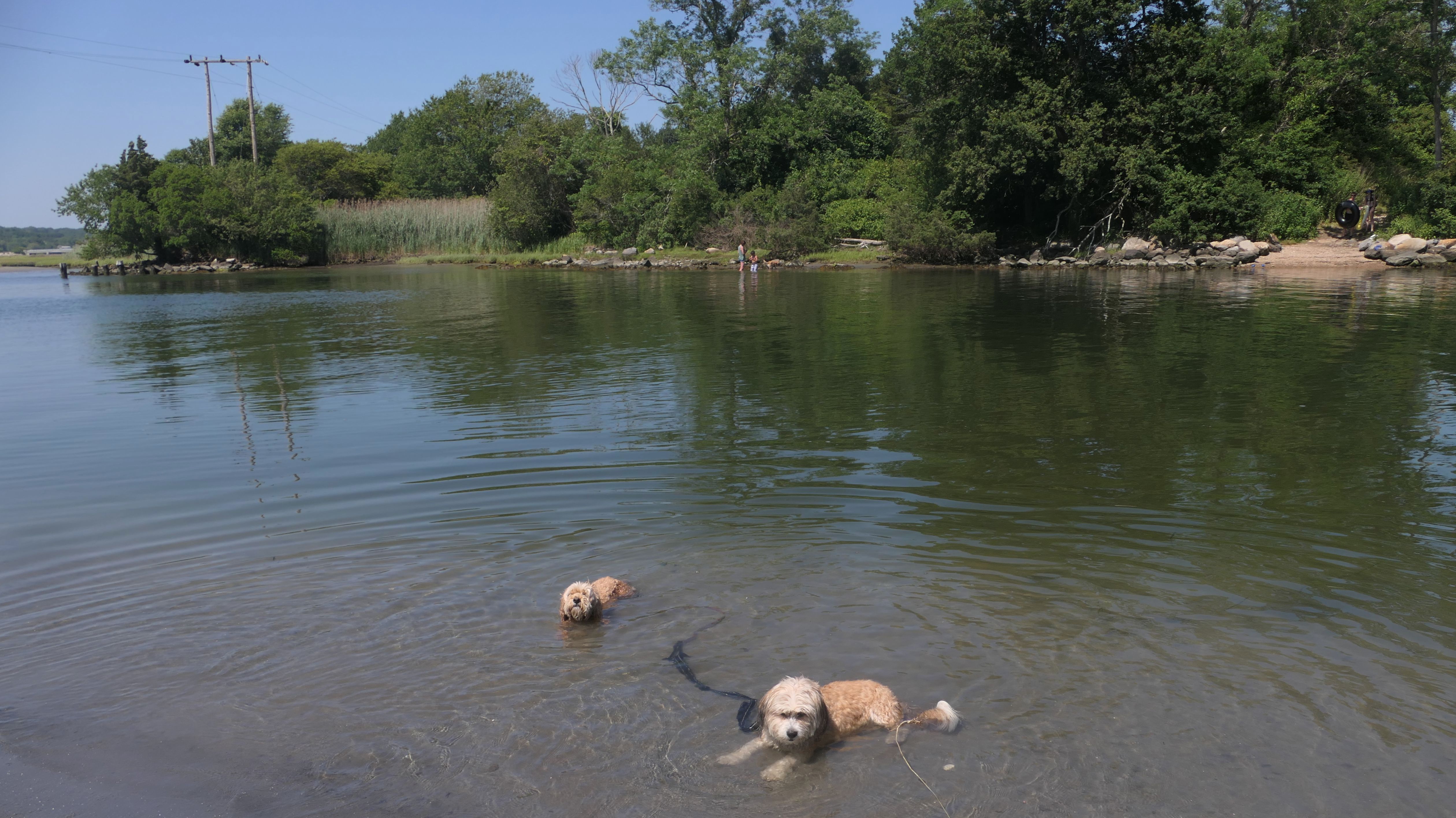
This might be the best beach we visited yet! Dogs are only allowed from September 16 through May 15. The beach is techincally "closed" from the day after Labor Day until Memorial Day Weekend, but that just means there are no life guards I guess, because the place was packed. It was another great day weather-wise. It seemed like it was a bit cool for humans on the beach. It was only in the upper 60's, but that didn't seem to stop anyone. There were plenty of people in the water, sunbathing, and walking their dogs. It looks like they stop collecting parking fees at the main lot after Labor Day, so that may have led to the amount of people as well. We arrived just before 3PM, and had to park on a nearby road because the lot was full. We walked the length of the beach and back. The sand was very nice here. Not rocky like some of the beaches. There were less people at the north end of the beach, so it was easier to get pictures of the dogs with less distractions. I guess that part of the beach is "Conochet Club Beach". There was some sort of event going on near the North Beach Clubhouse. There was a band playing and food trucks. There is also a small grassy area in front of the beach labeled "Pettaquamscutt Park" on some maps. This area is the home of the "Canonchet Memorial", which includes two statues. The dogs got to cool off in the water too! A good time was had by all!
More Images

Narragansett Town Beach
Date visited: 4/26/2023
We came back a second time the following spring. We stopped here because I needed a few more steps after our visit to Whale Rock Preserve. It was colder, and nowhere near as busy, but still a very pleasant walk.
More Images
Narragansett Town Beach
Date visited: 5/12/2023
Our third trip here was 2 1/2 weeks after our previous trip. We parked at the beach to access the Canonchet Farm Trail, so of course we had to visit the beach as well since we were already here! It was a very warm day and the beach was packed. The beach is still technically "closed", so there is no fee or parking charge until Memorial Day Weekend, and dogs are allowed until May 15th. The "free" part probably added to the amount of people. It was definitely beach weather. We don't generally get to visit beaches like this when they are this busy, since most beaches don't allow dogs in the summer months.
More Images
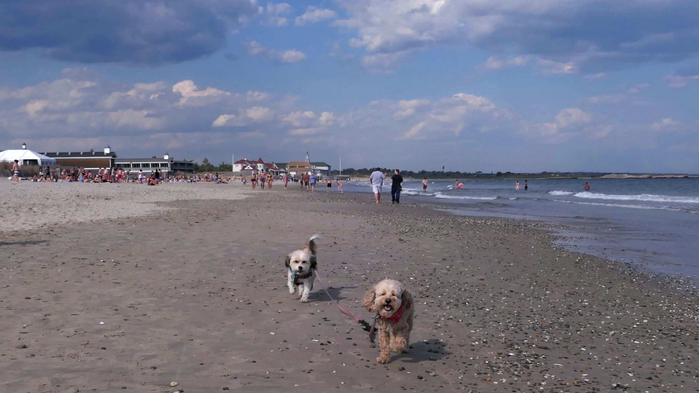
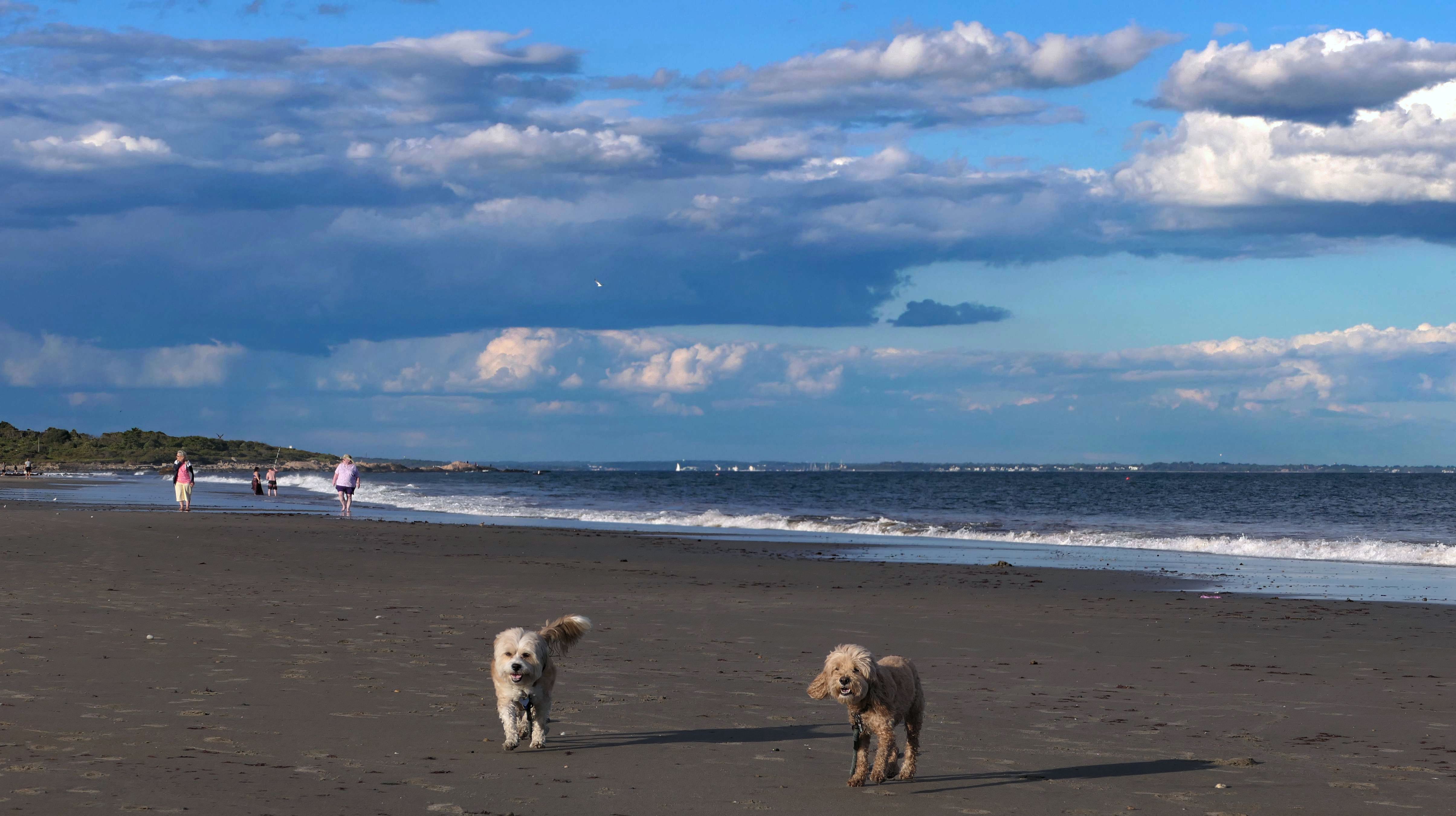
Narragansett Town Beach
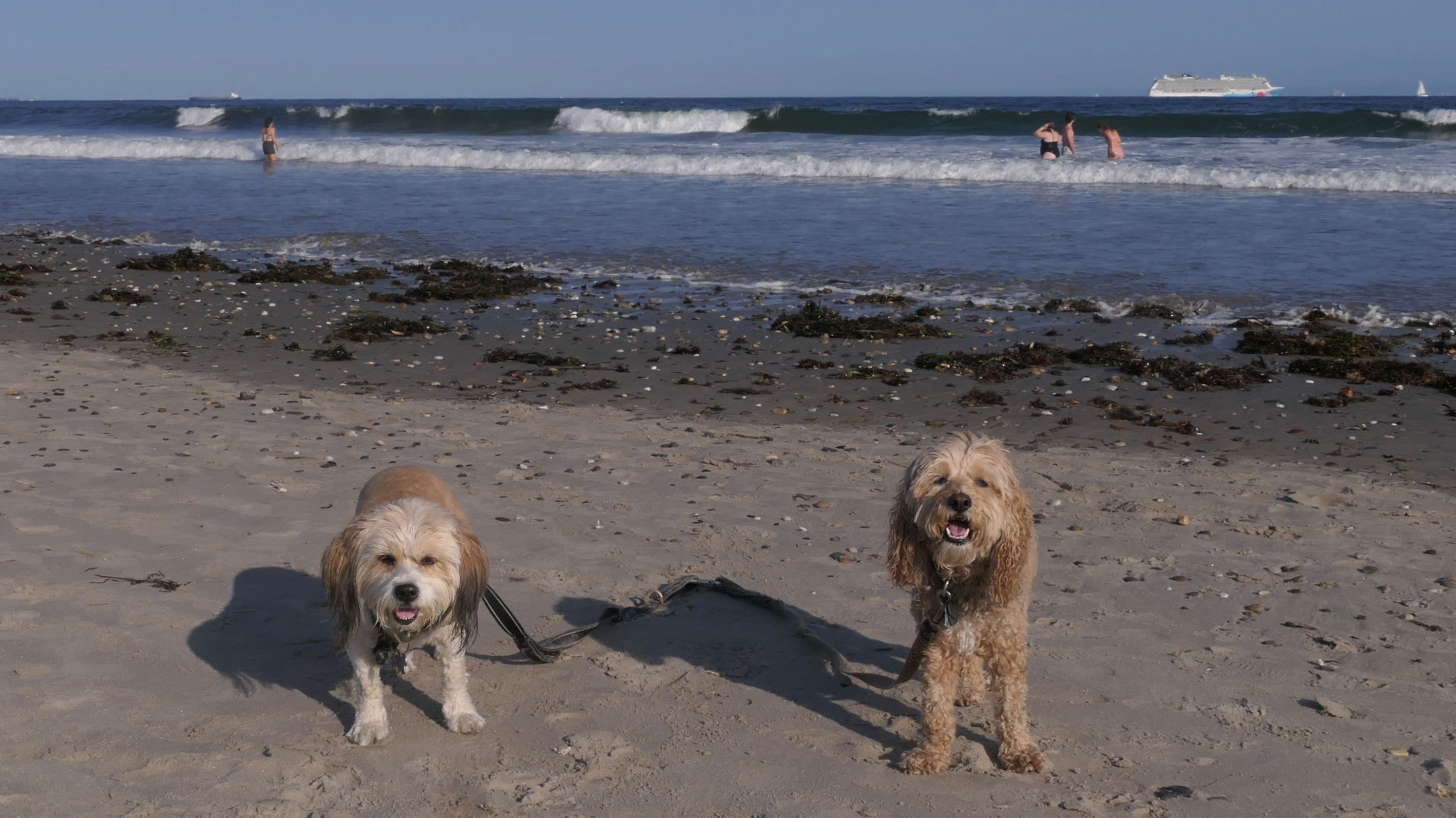
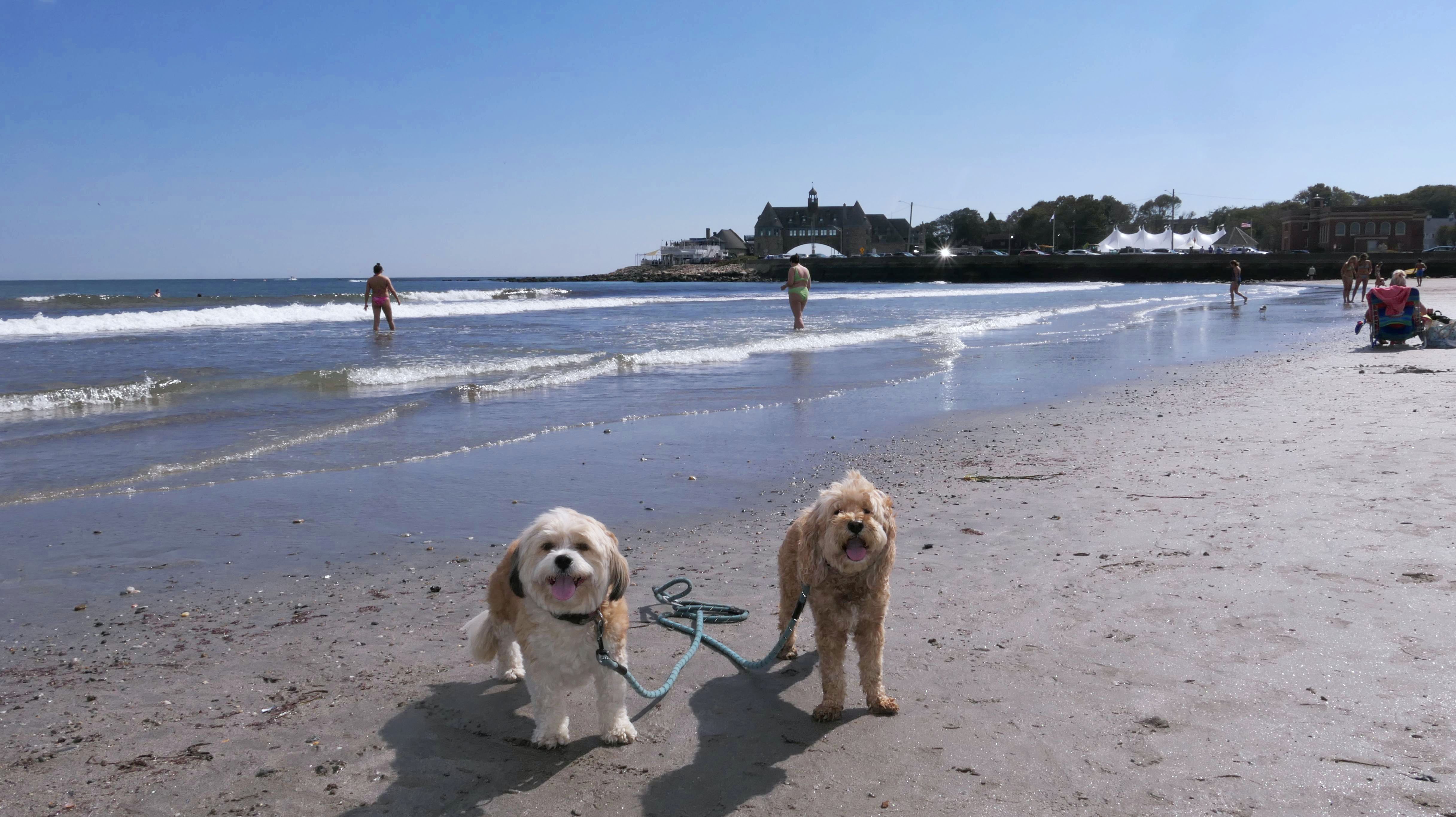
Date visited: 9/16/2024
This was our fourth visit to this beach, almost two years to the day after our first visit. That's not coincidence. Dogs are allowed here after September 16th, so we didn't waste any time this year! This is one of the most popular beaches in the area, it's flat and easy to access. Our walk was pretty much a repeat of our 2022 adventure. We walked the length of the beach, up until the mouth of the Pettaquamscutt River and back. Waves rip here, and the beach was quite busy with shell collectors, sunbathers, surfers, and swimmers, even on a Monday afternoon where the temperatures didn't get much above 70 degrees. There was even a cruise ship passing by. This time around we also explored the Narragansett Pier Marketplace and Memorial Square as well. walking over five miles in the process.
More Images
Narragansett Town Beach
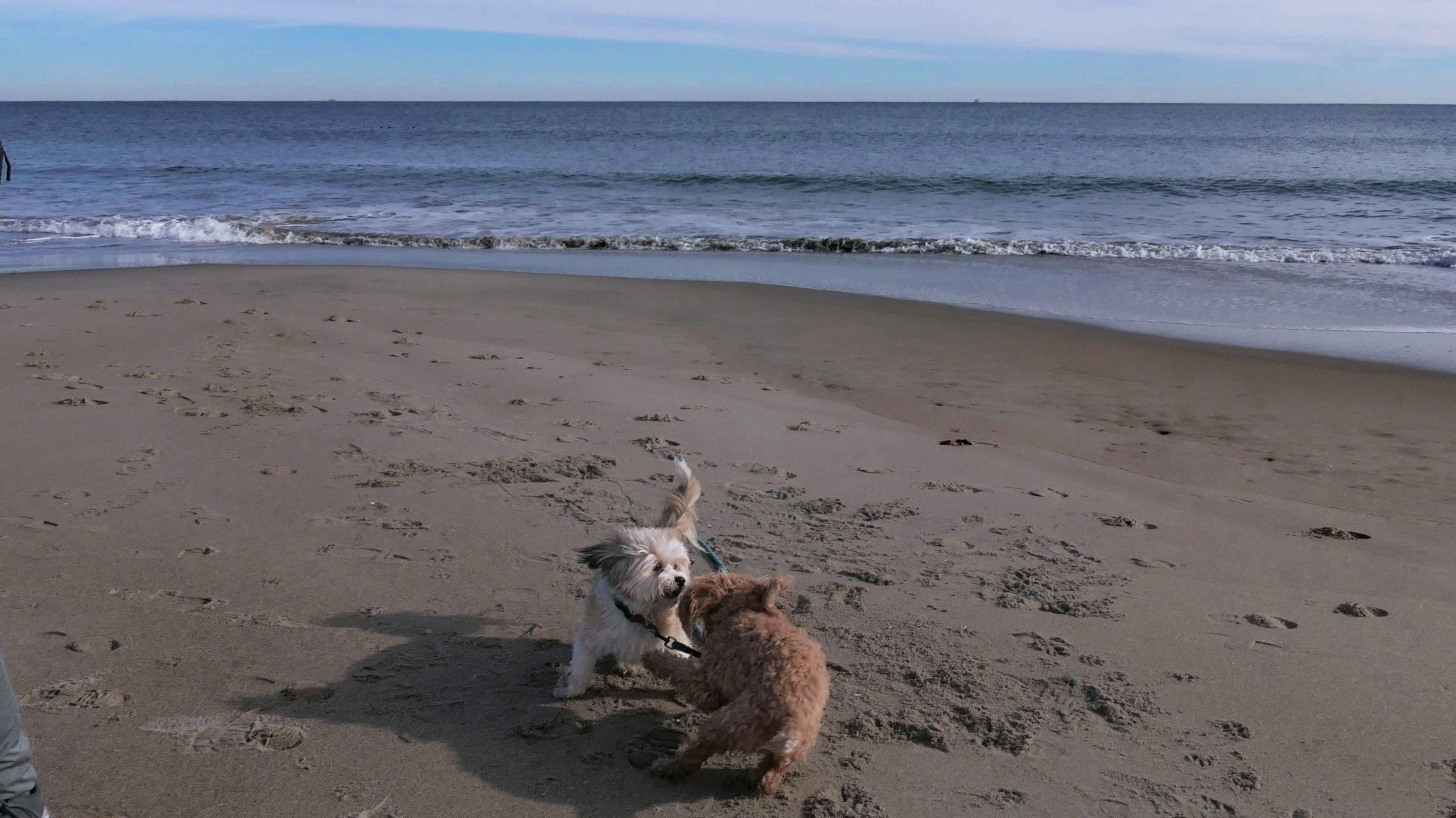
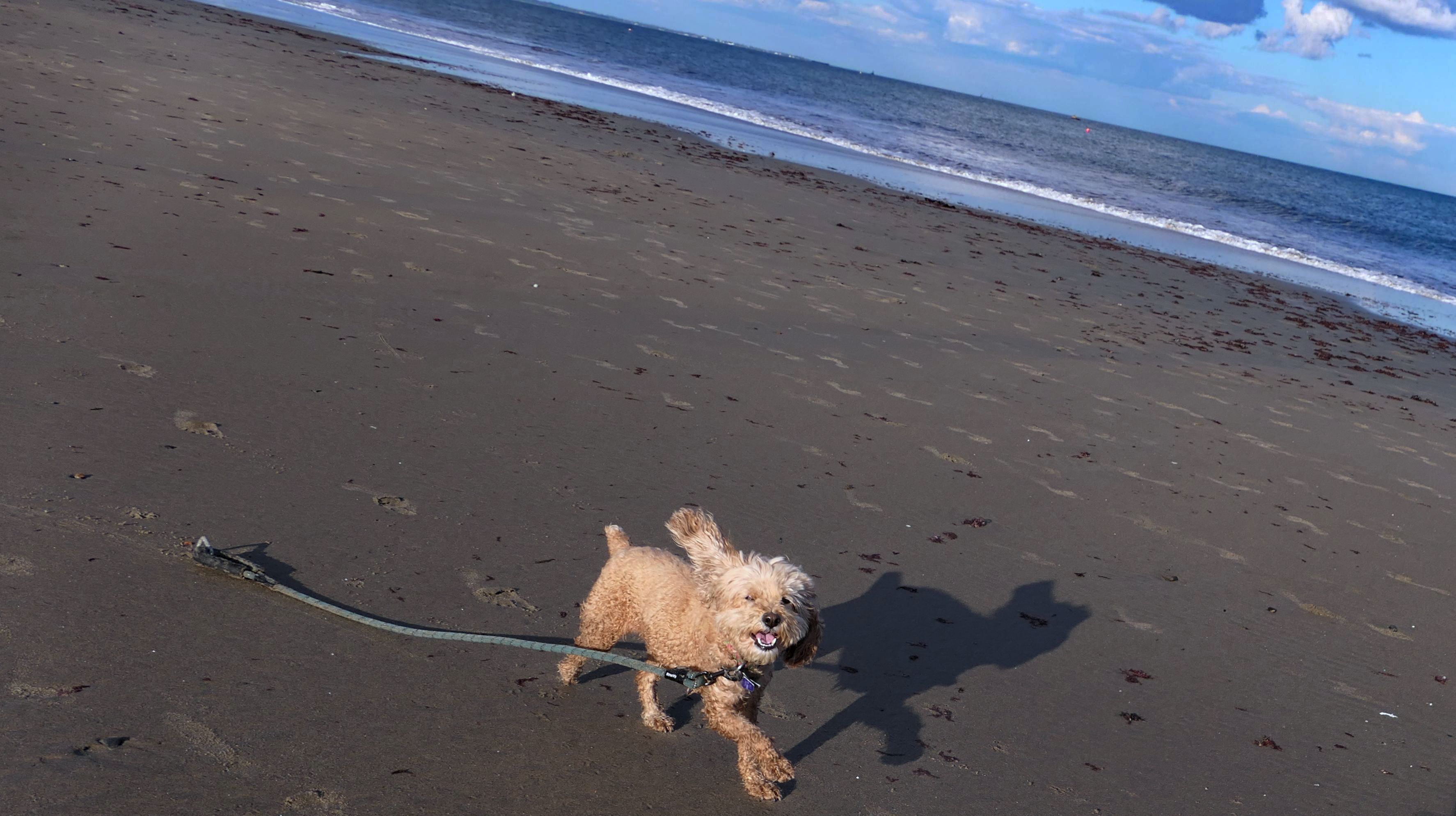
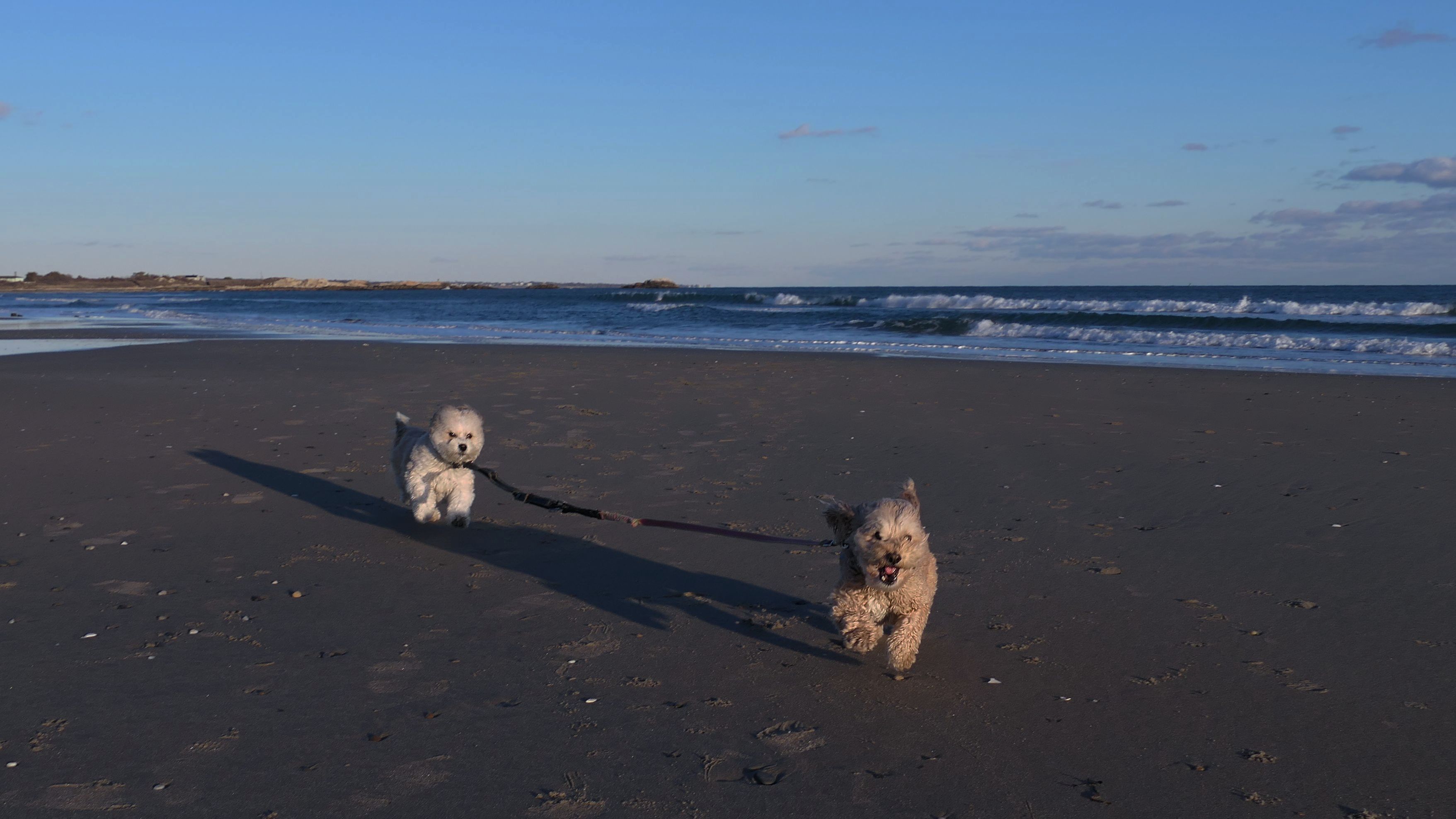
Date visited: 1/3/2025
We were in Rhode Island, and it was a sunny day, so we thought we'd stop at the beach. Lexi was very happy with that decision, as she had a major case of the zoomies! She was eventually successful in getting Mandy to run and play too! It was late in the afternoon, and the low sun in the sky this time of the year made it very difficult to get good pictures, but I think a few of these came out nice! I love when I can get action shots!
More Images
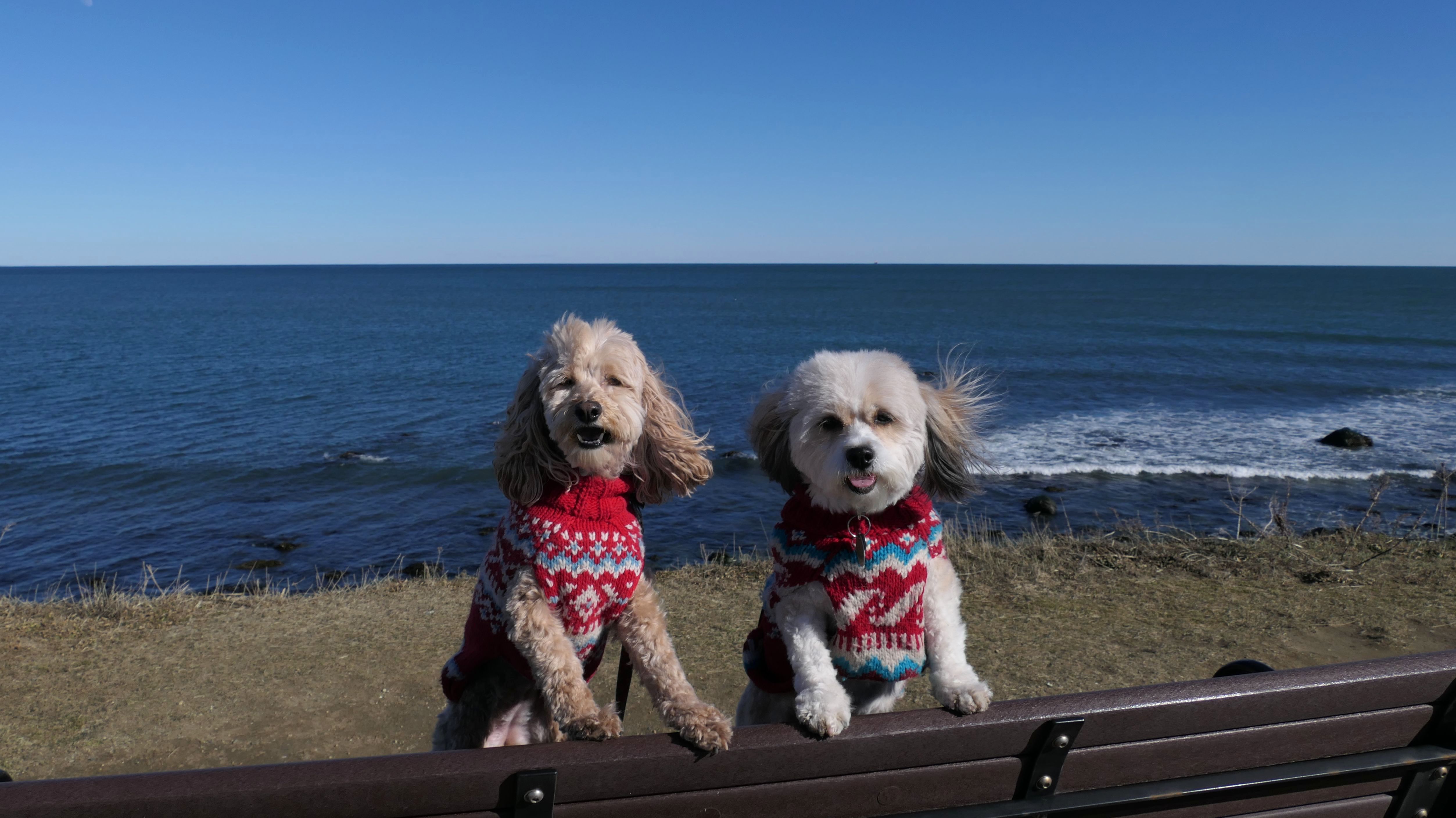
Narragansett Town Beach
Date visited: 4/23/2025
As has been the norm for our trips of late, this is another multi-part adventure. We started here at this beach. This is the sixth time we've visited the beach, so we know it well. I was surprised that the parking lot was about three quarters full when we arrived a bit before 2PM on a Wednesday afternoon. It was a bit chilly. Temps were only in the low 60's on the shore, despite being warmer inland. It was also breezy. That didn't stop the college students from sunbathing! It was really weird seeing the kids in their bathing suits, while older people walked their dogs on the beach wearing winter coats and hats! We walked the length of the beach and back. I don't think we were ever here for high tide before. The waves were coming right up to a beach wall located about halfway through our walk. There is a small walkway (and a sign indicating that it isn't a pedestrian walkway) that allowed us to get by without getting wet. I didn't remember the walkway, so I looked at some old photos taken during previous visits, and it wasn't there. I actually think it was there, but just buried before. At any rate, this beach is always a nice walk, and today was no different. After this, we headed to the Seawall Walk next.
More Images
Narragansett Town Beach
Date visited: 9/19/2025
It's become an annual tradition to visit this beach this time of year. Dogs are allowed after September 16th. This was a more of a family outing this time around than our usual adventure. This is one of the most popular beaches in Rhode Island. It was a hot Friday afternoon, and they stop charging for parking after Labor Day, so it was quite busy! Many of the visitors were students from nearby University of Rhode Island, and we were stopped many times by people wanting to pet the dogs! This was a fun "end of the summer" outing, and an enjoyable day at the beach!
More Images
Narragansett Town Beach
Date visited: 3/4/2026
After the winter we've had, a 50 degree day in March really hits harder than normal! We enjoyed the day by visiting some of our favorite Rhode Island beaches. We've been to this one many times before, and no matter what time of year, there always seems to be people here. The parking lot was actually two thirds of the way full, even on a Wednesday afternoon in early March. There were many dog walkers, and even a few surfers. There was too many people to let Mandy and Lexi off-leash to run, but we still our enjoyed our two and a half mile walk here.
More Images
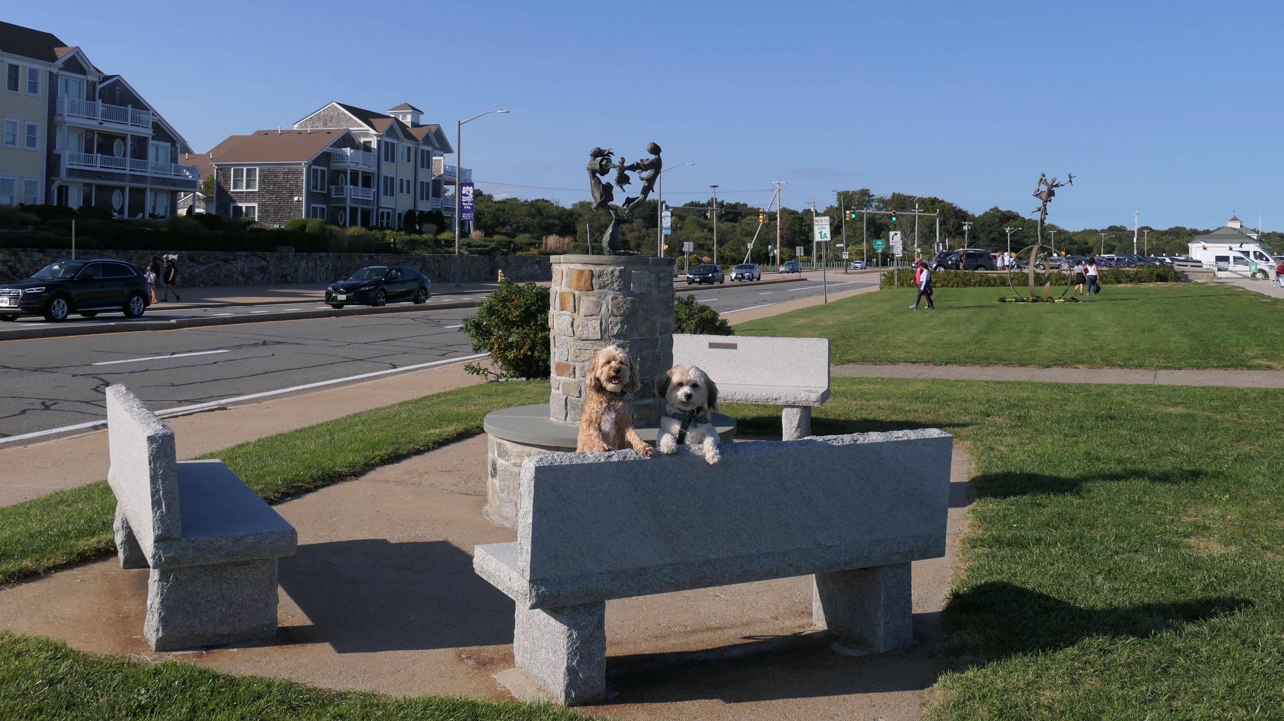
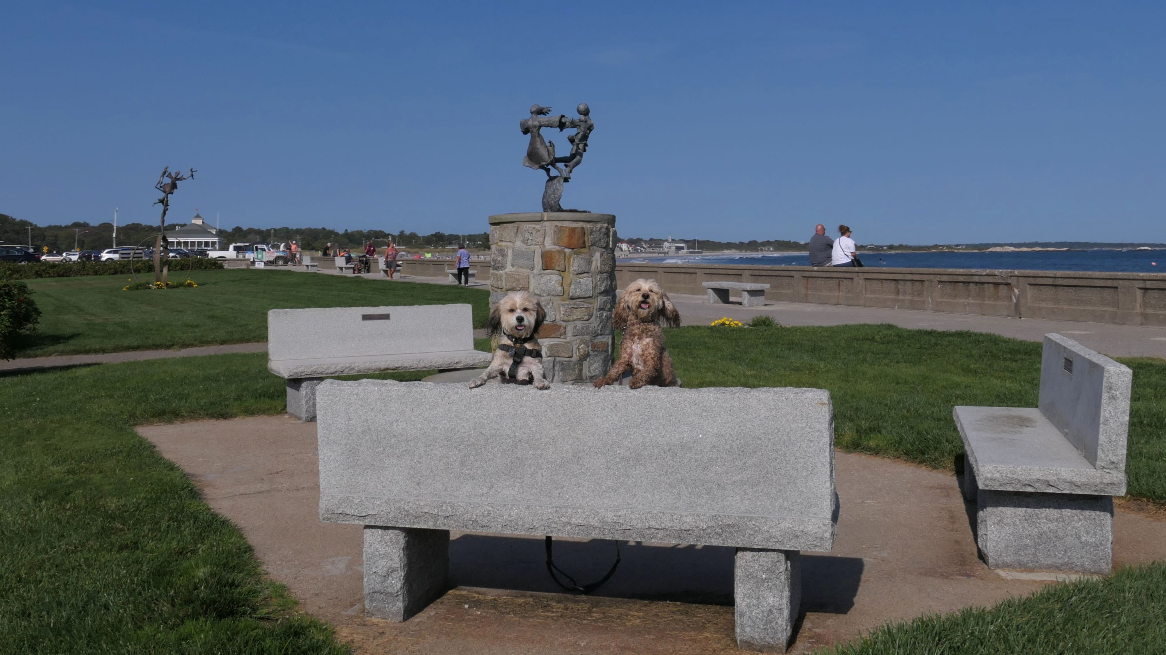
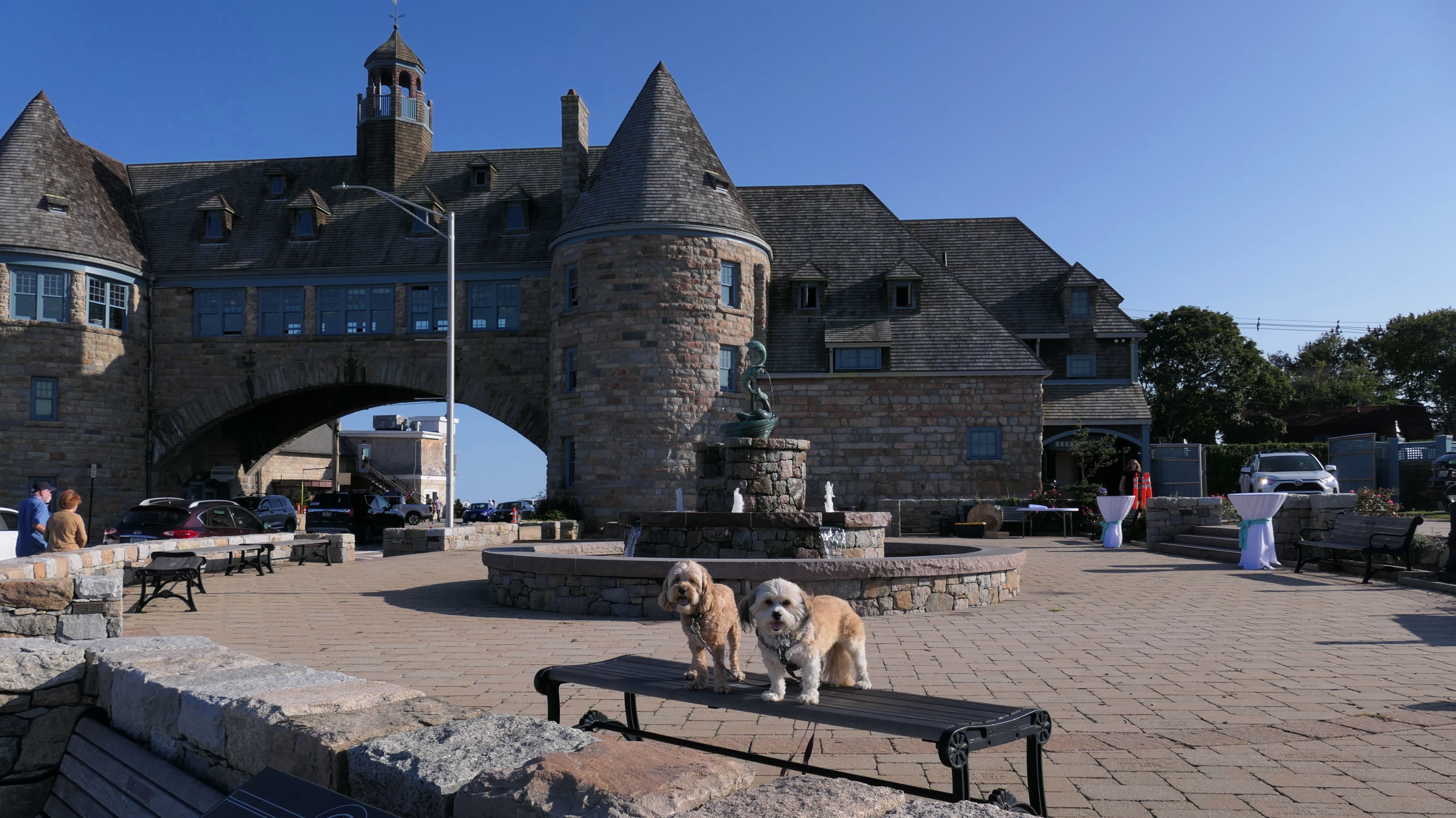
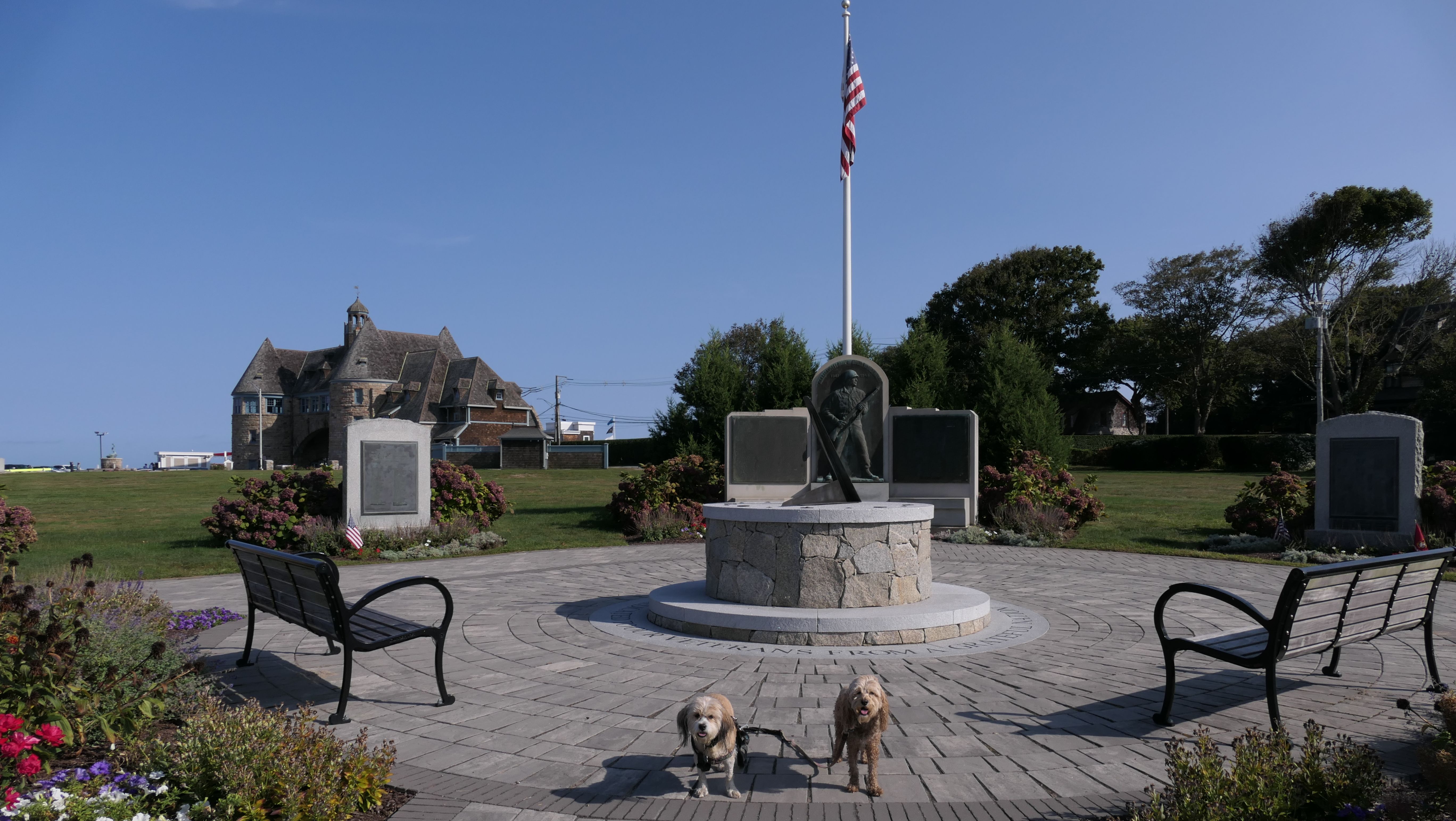
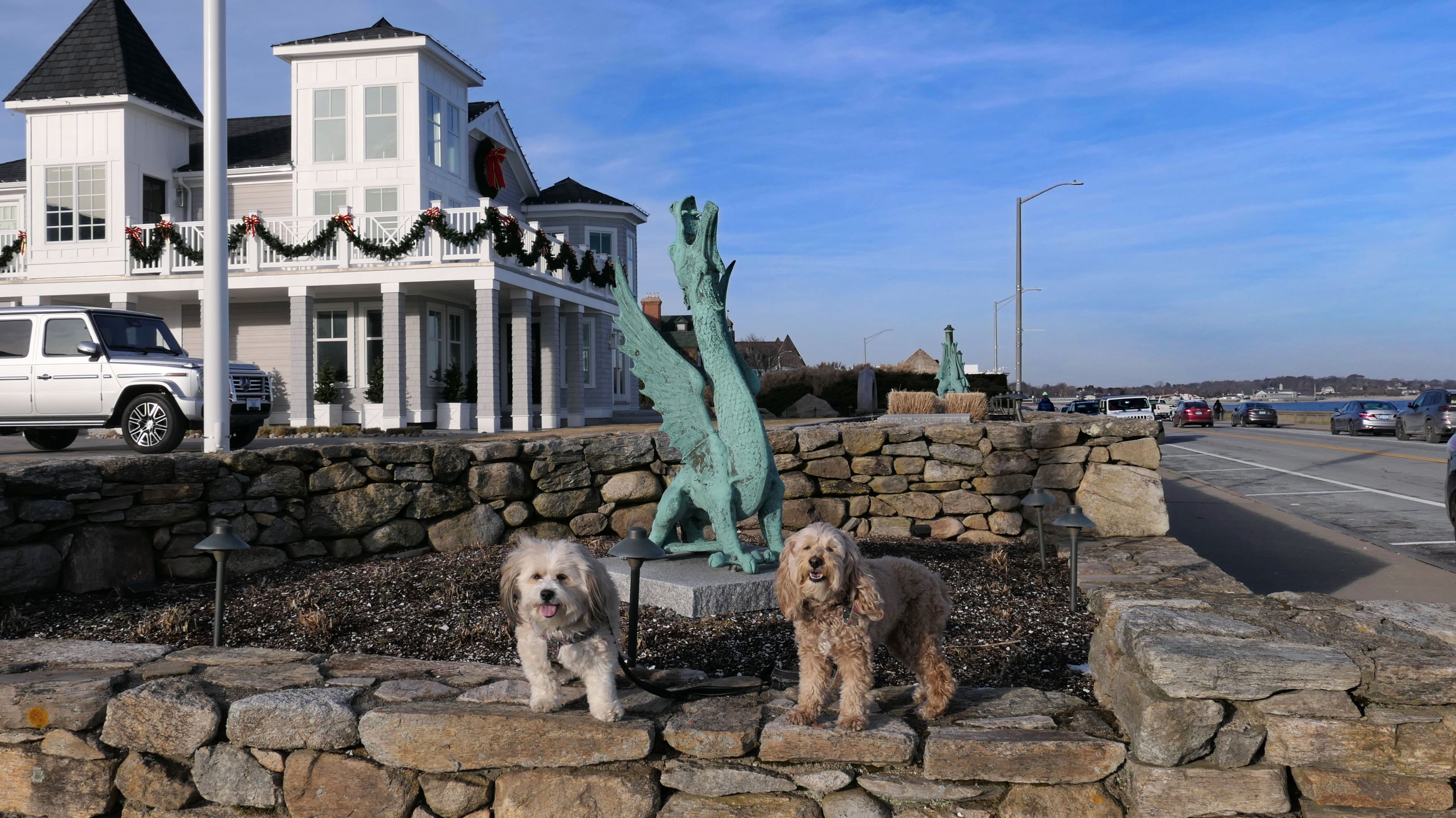
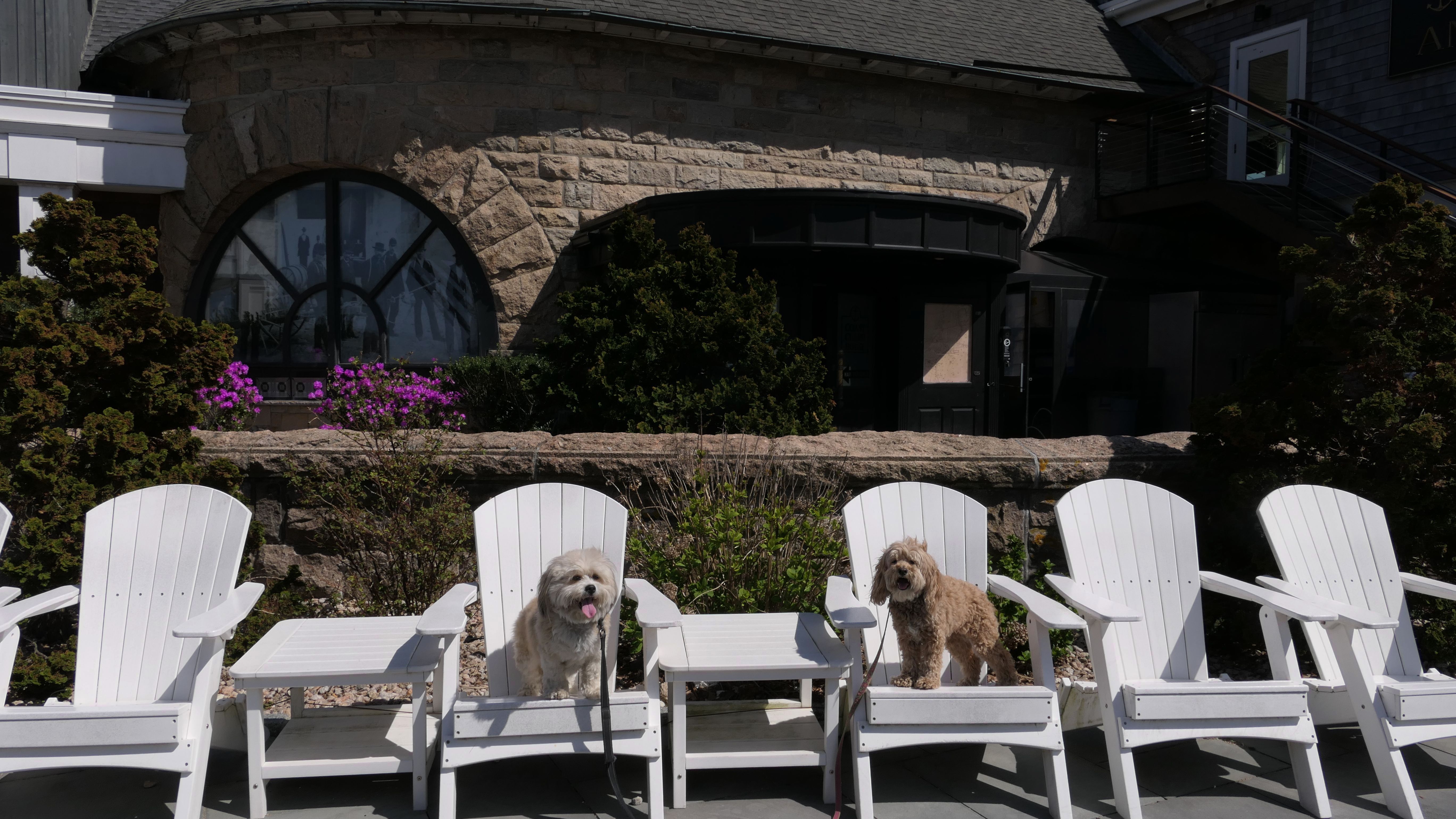
Casino Park at Narragansett Pier
Date visited: 9/17/2022
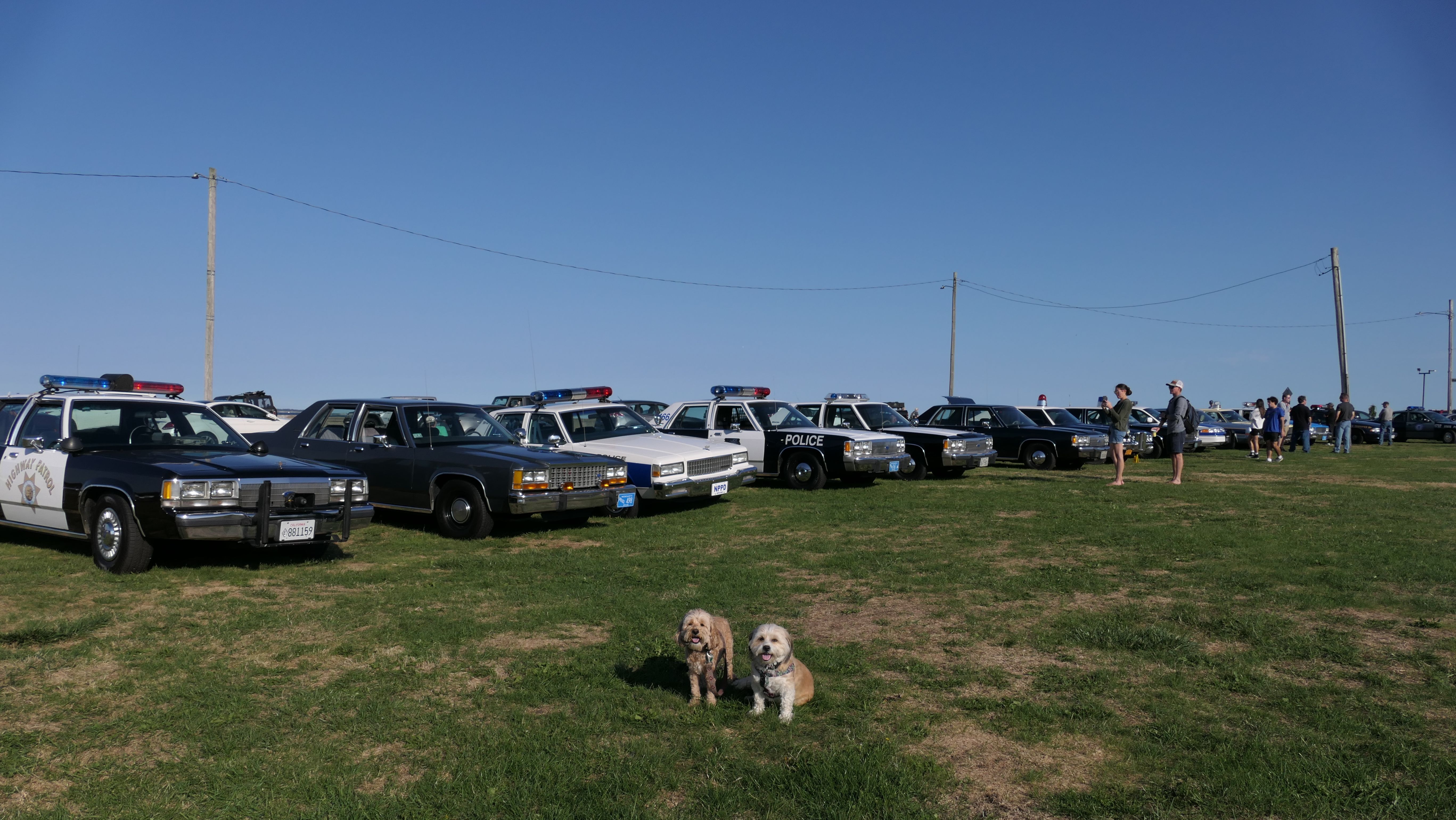
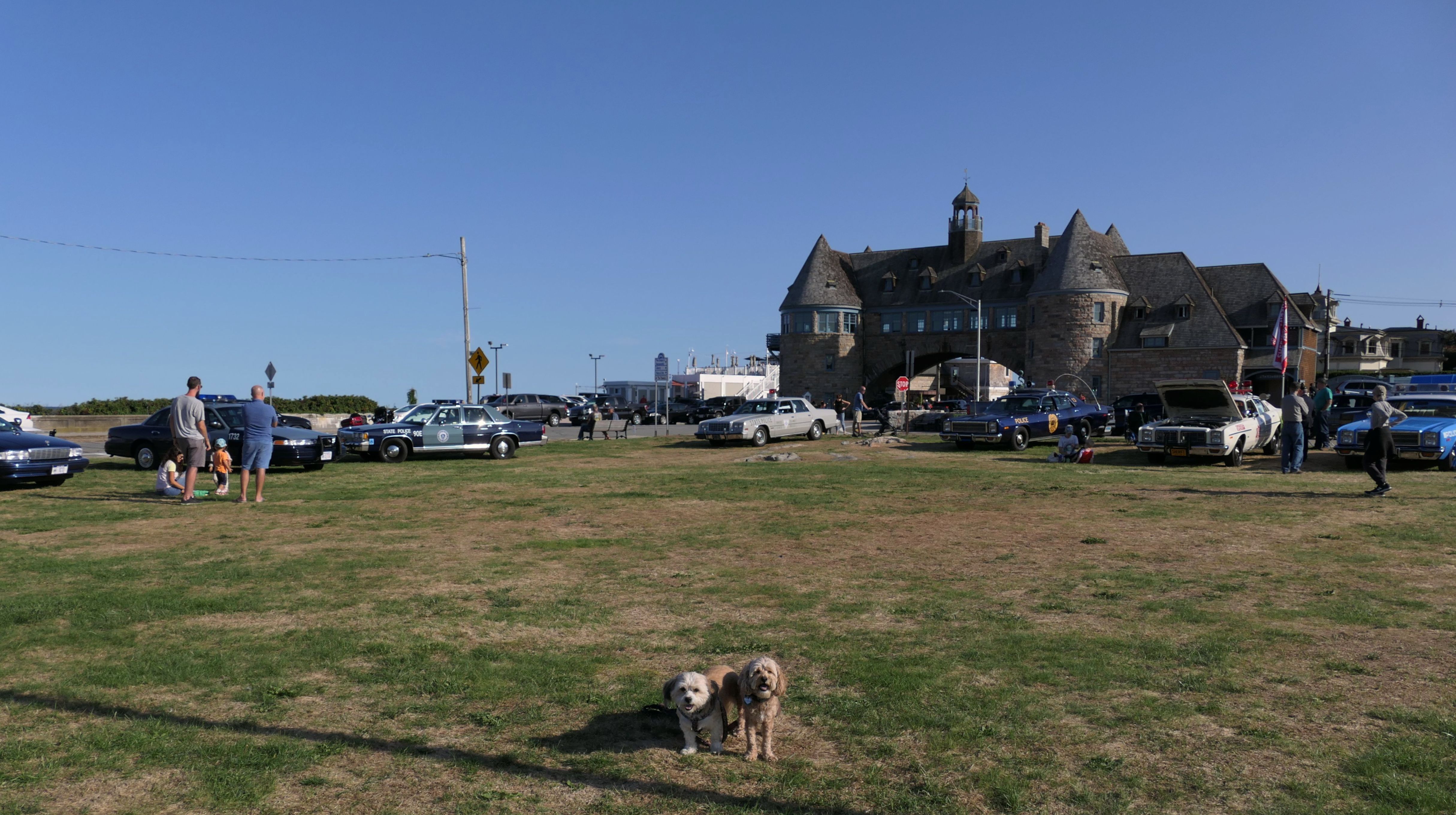
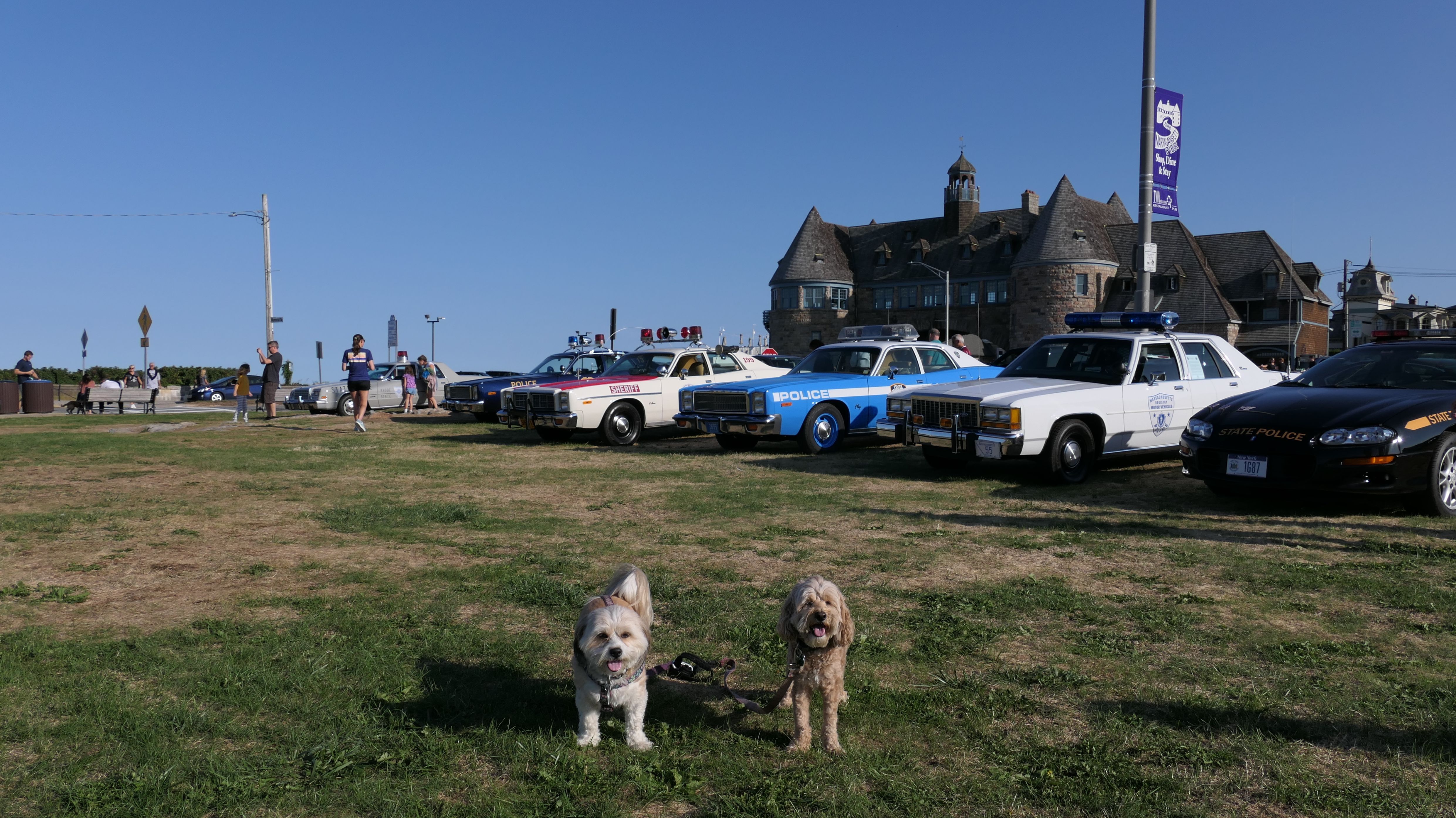
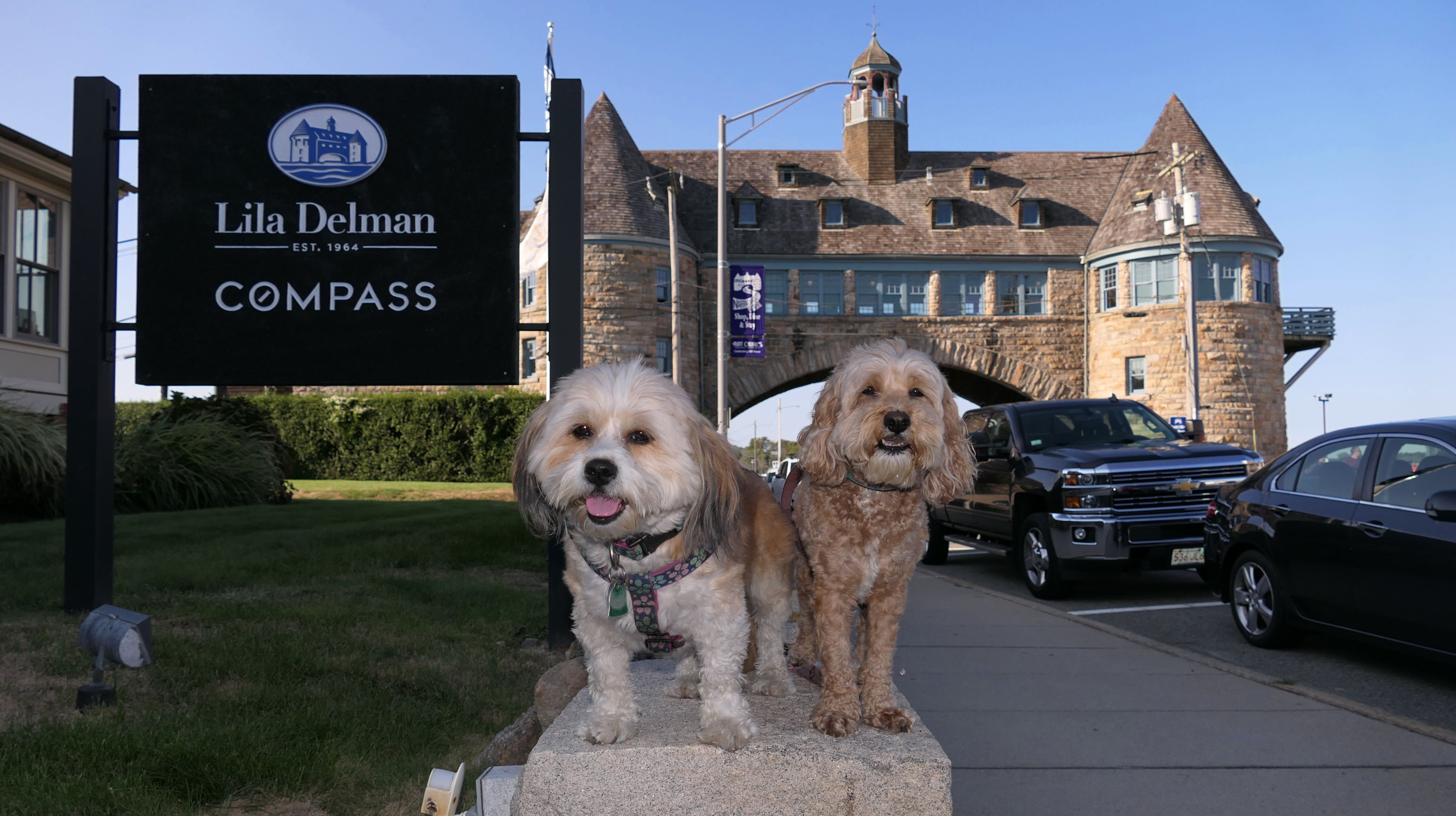
This is the touristy area just south of Narragansett Town Beach. The main attraction here is "The Towers". The structure is all that is left of an 19th century "Narragansett Pier Casino". The rest of the building burned down in 1900. Now, The Towers are used to host special events. There is a small park with a gazebo near the towers. There was an antique police car show going on when we visited. That is something I've never seen before.
More Images

Casino Park at Narragansett Pier
Date visited: 9/16/2024
This is a memorial, near the towers dedicated to war veterans. We didn't take any pictures of this memorial on any of our previous visits to the area.
Casino Park at Narragansett Pier
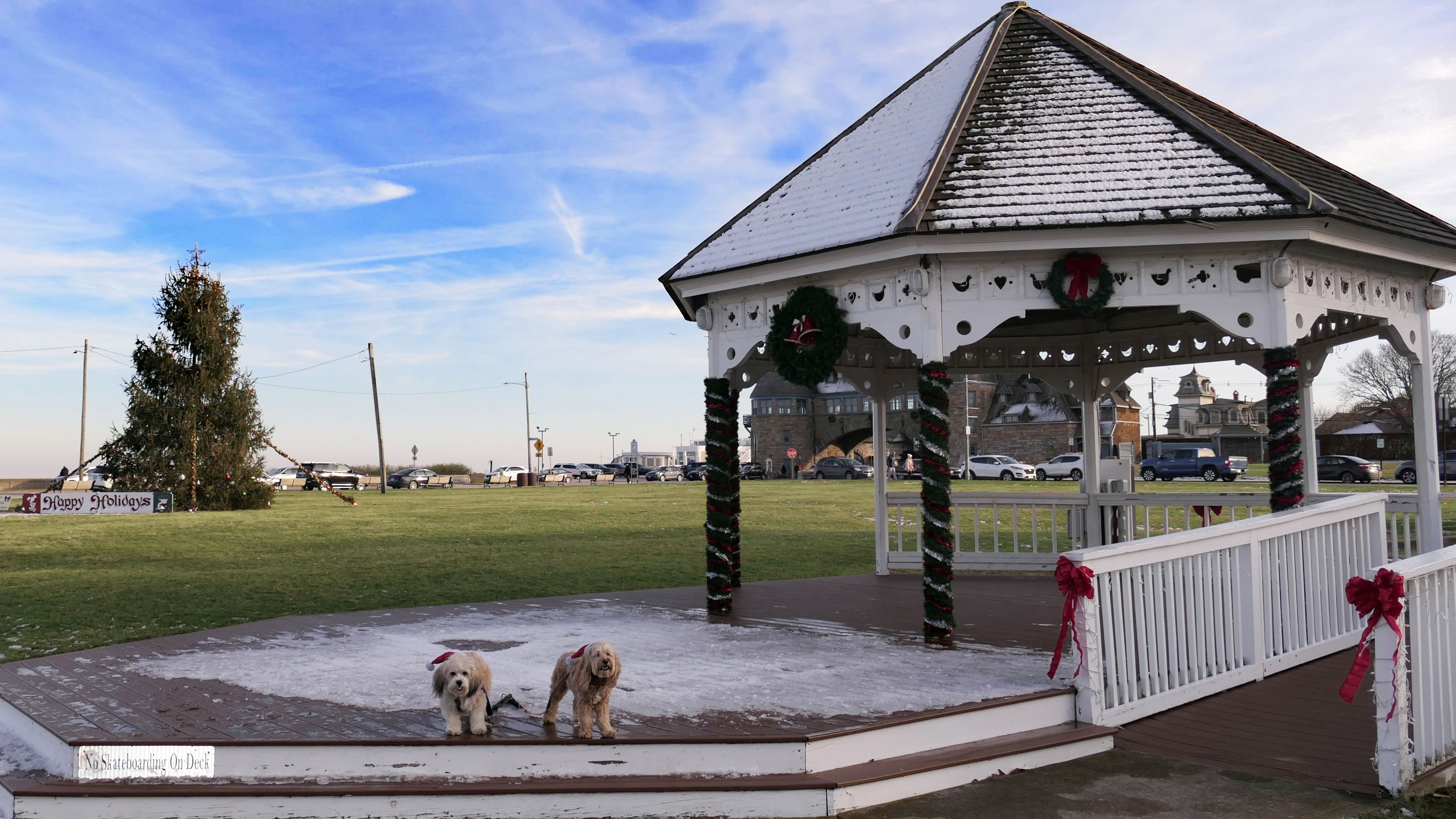
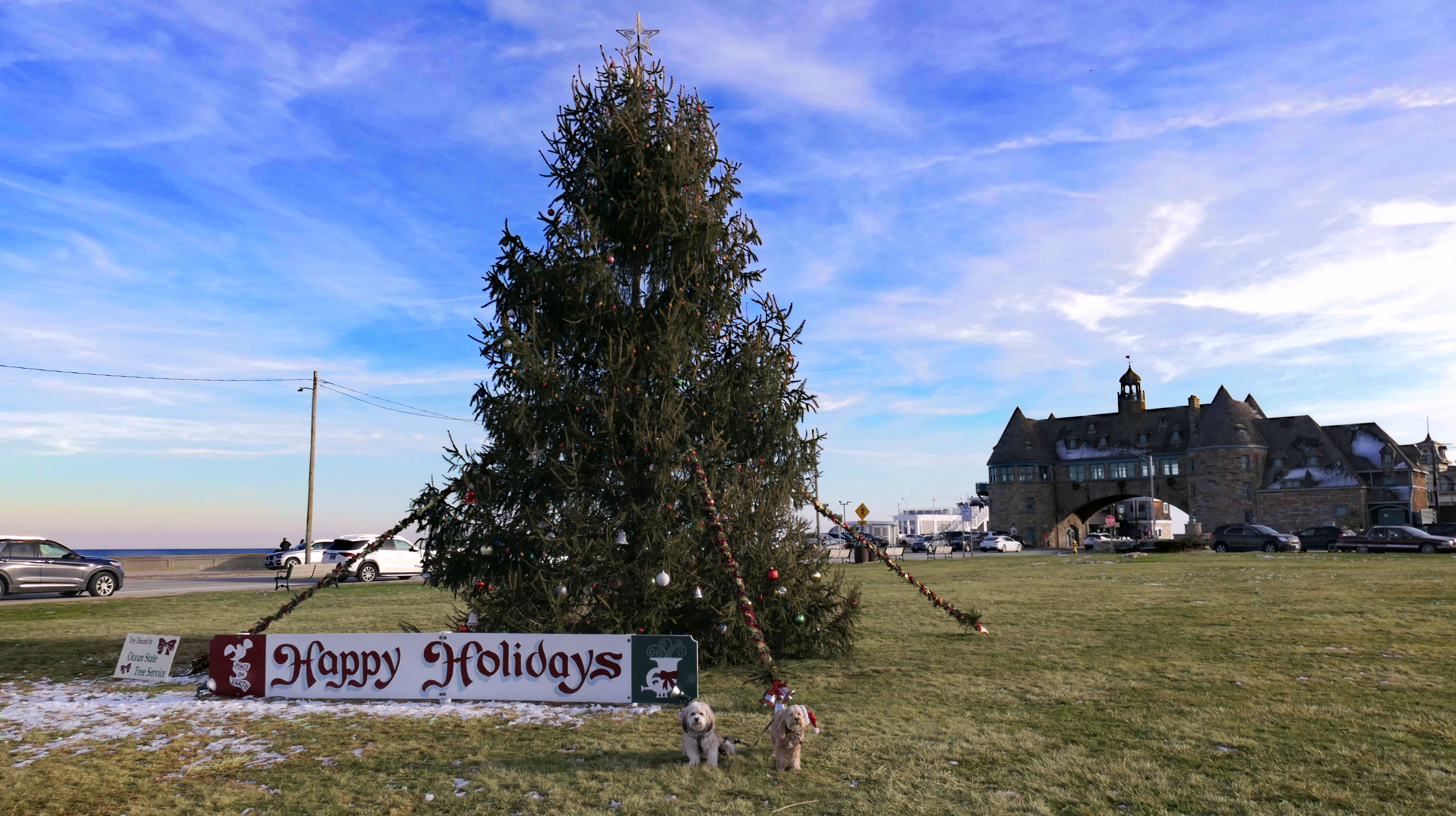
Date visited: 12/27/2024
After climbing on the rocks at Ocean Road Shoreline Access, near the state pier, we utilized the Seawall Walk to reach this area. We took pictures at the Narragansett Christmas Tree, on display near the gazebo.
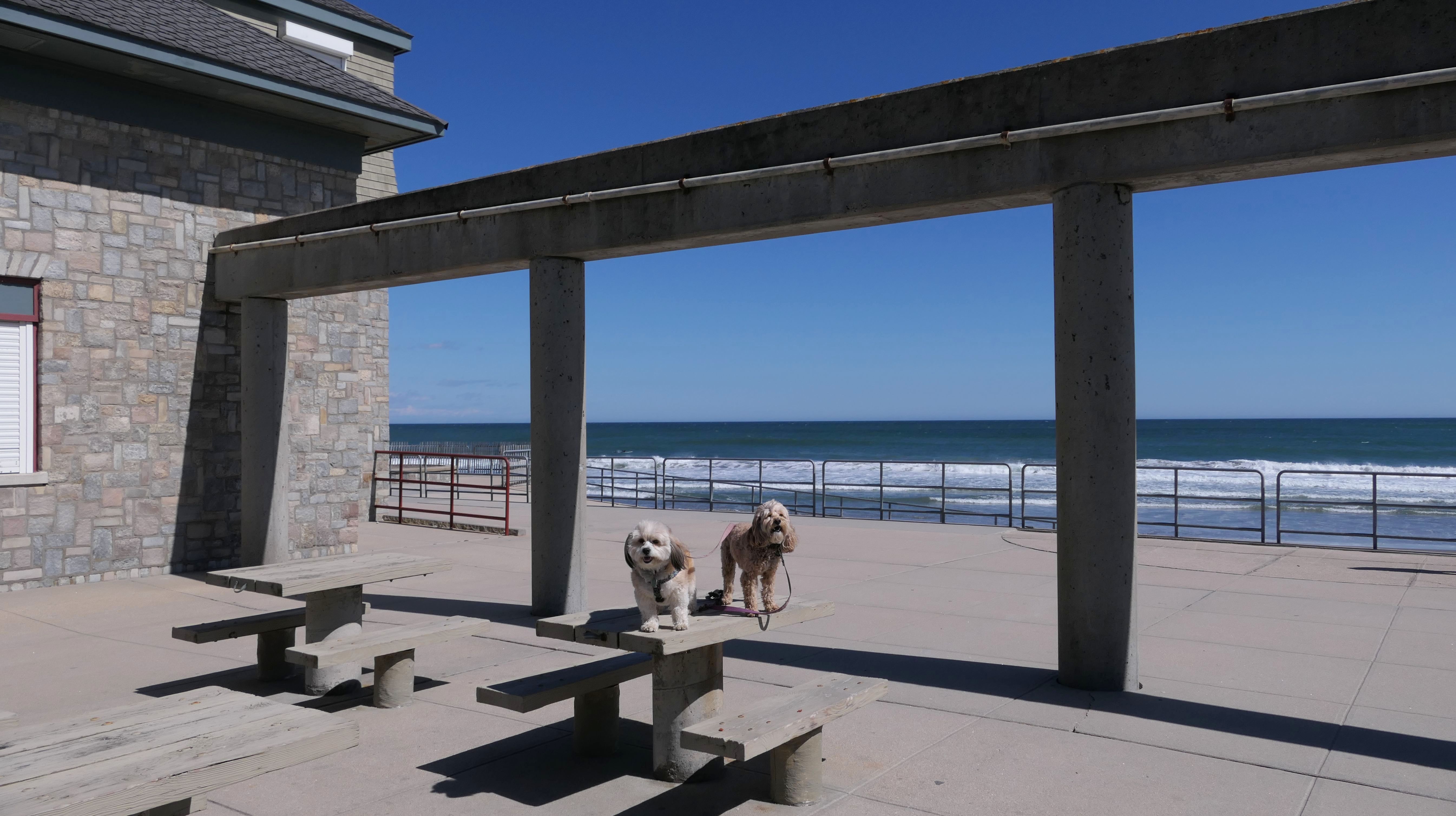
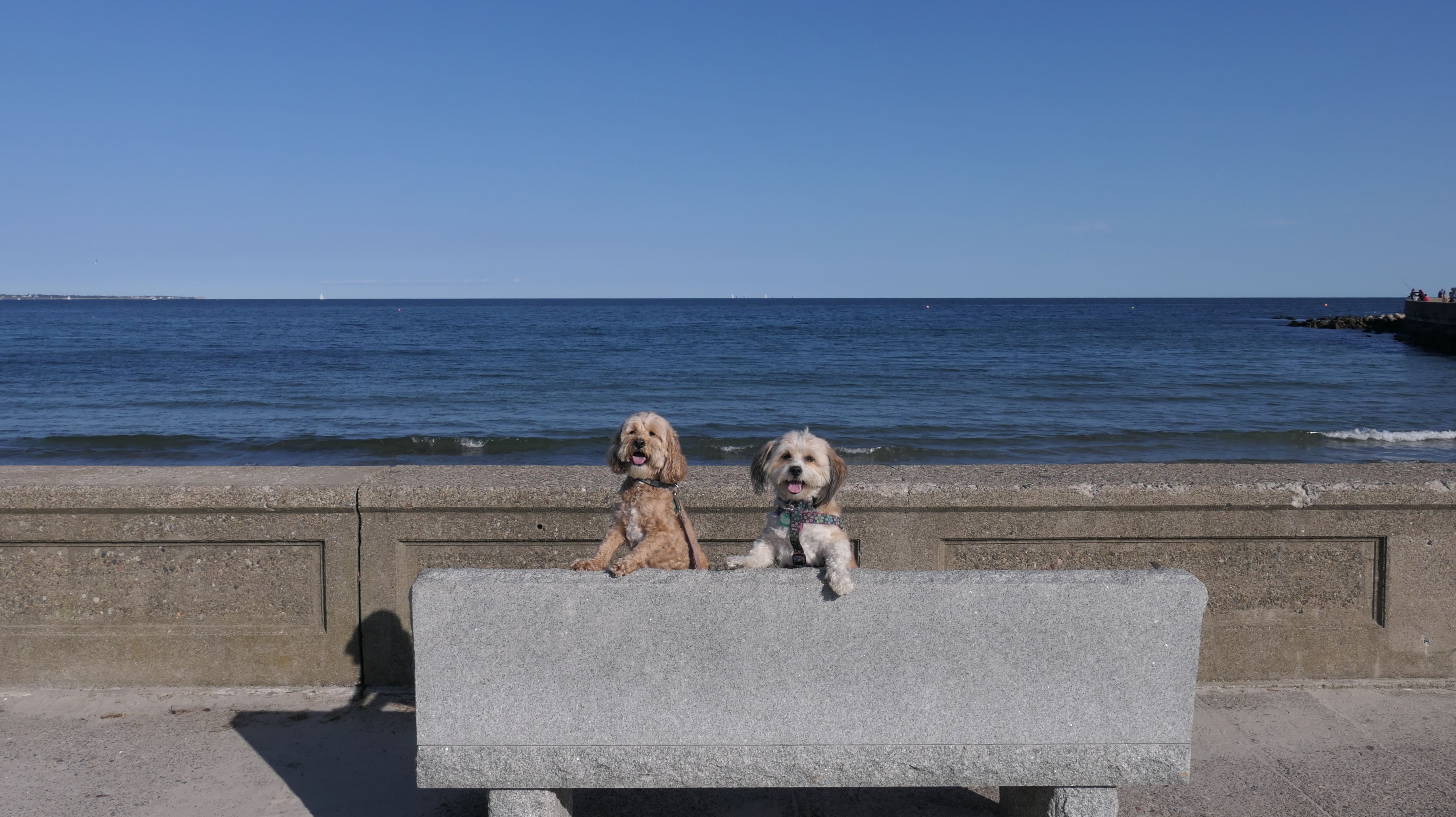
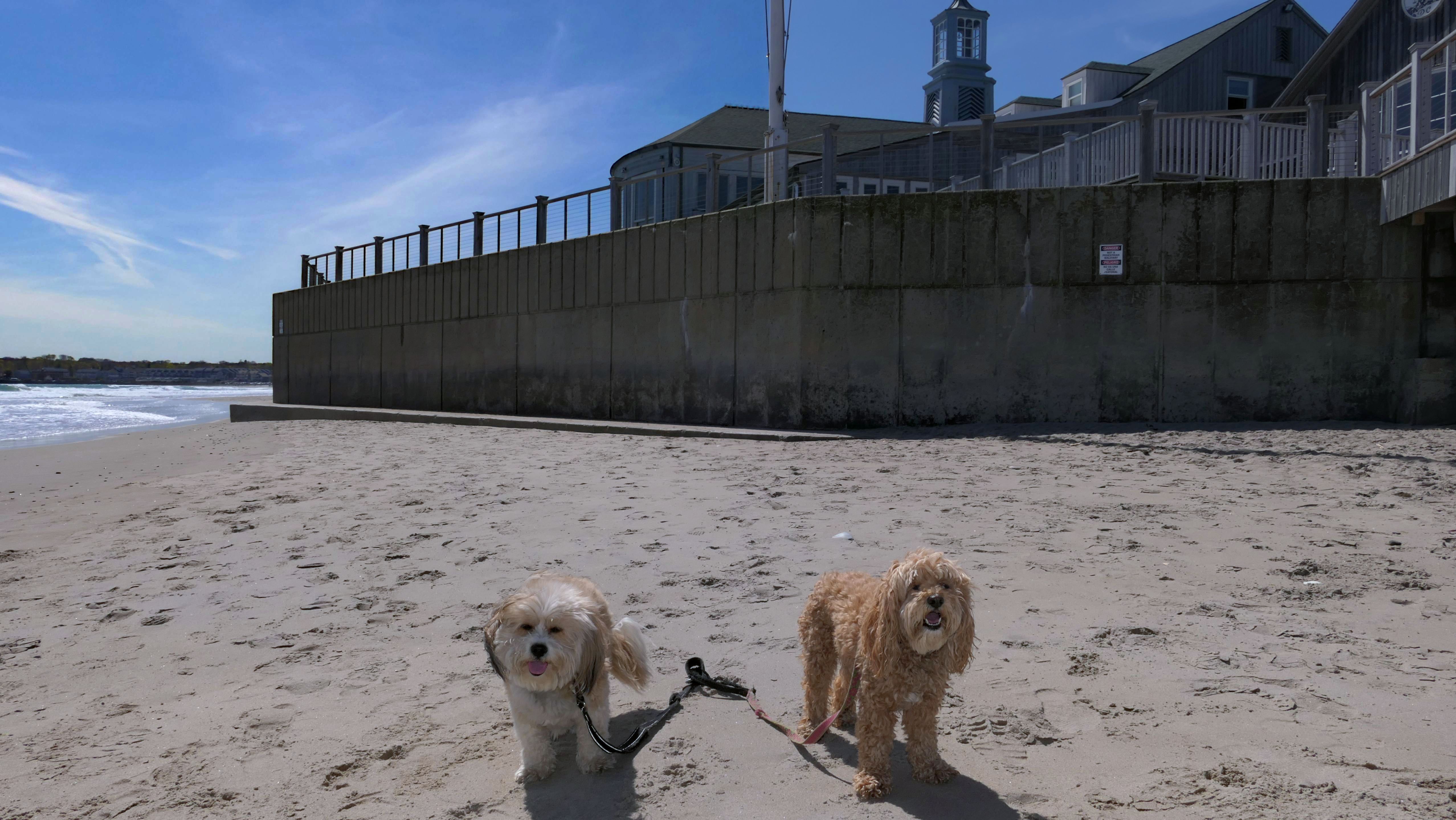
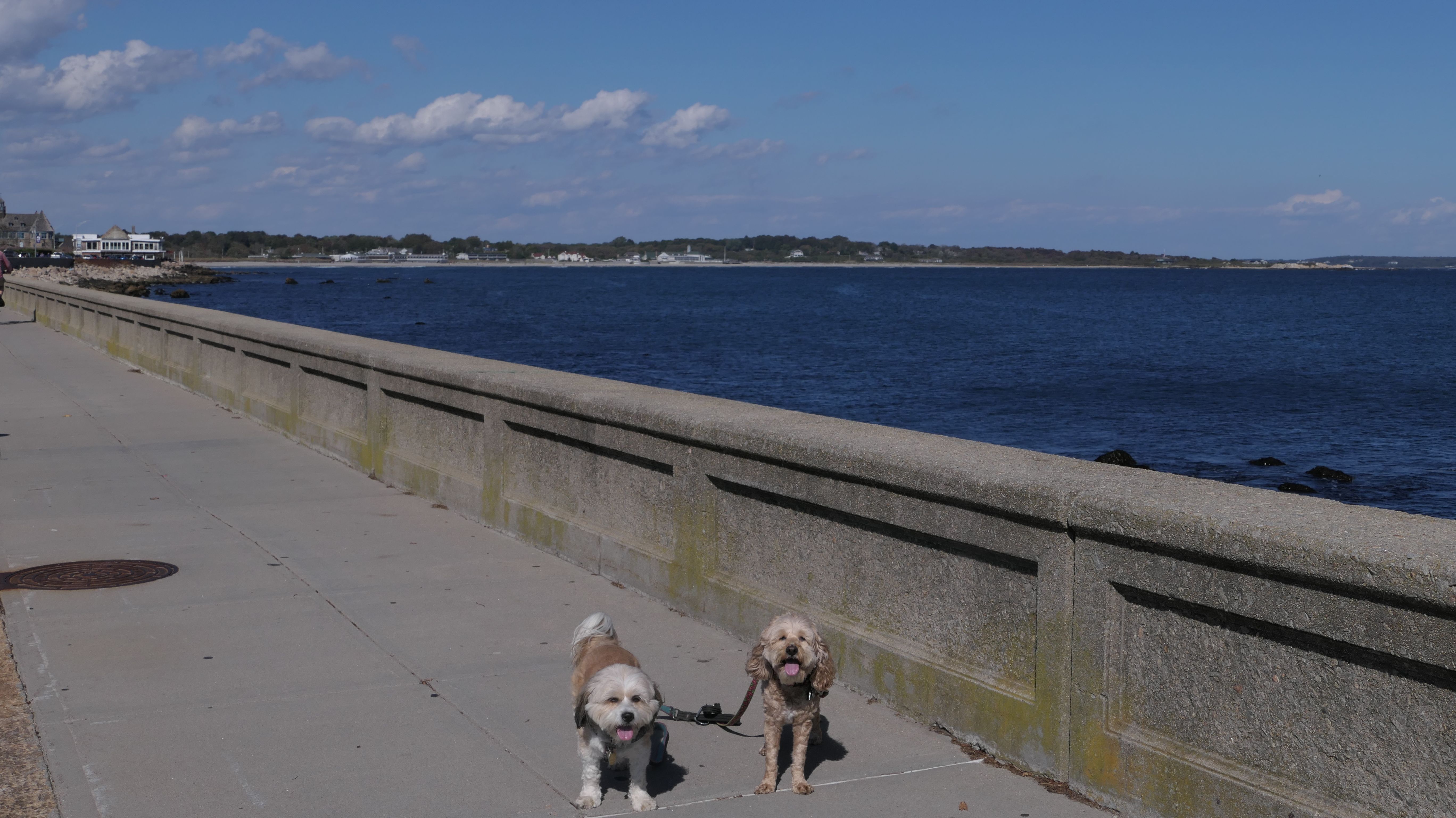
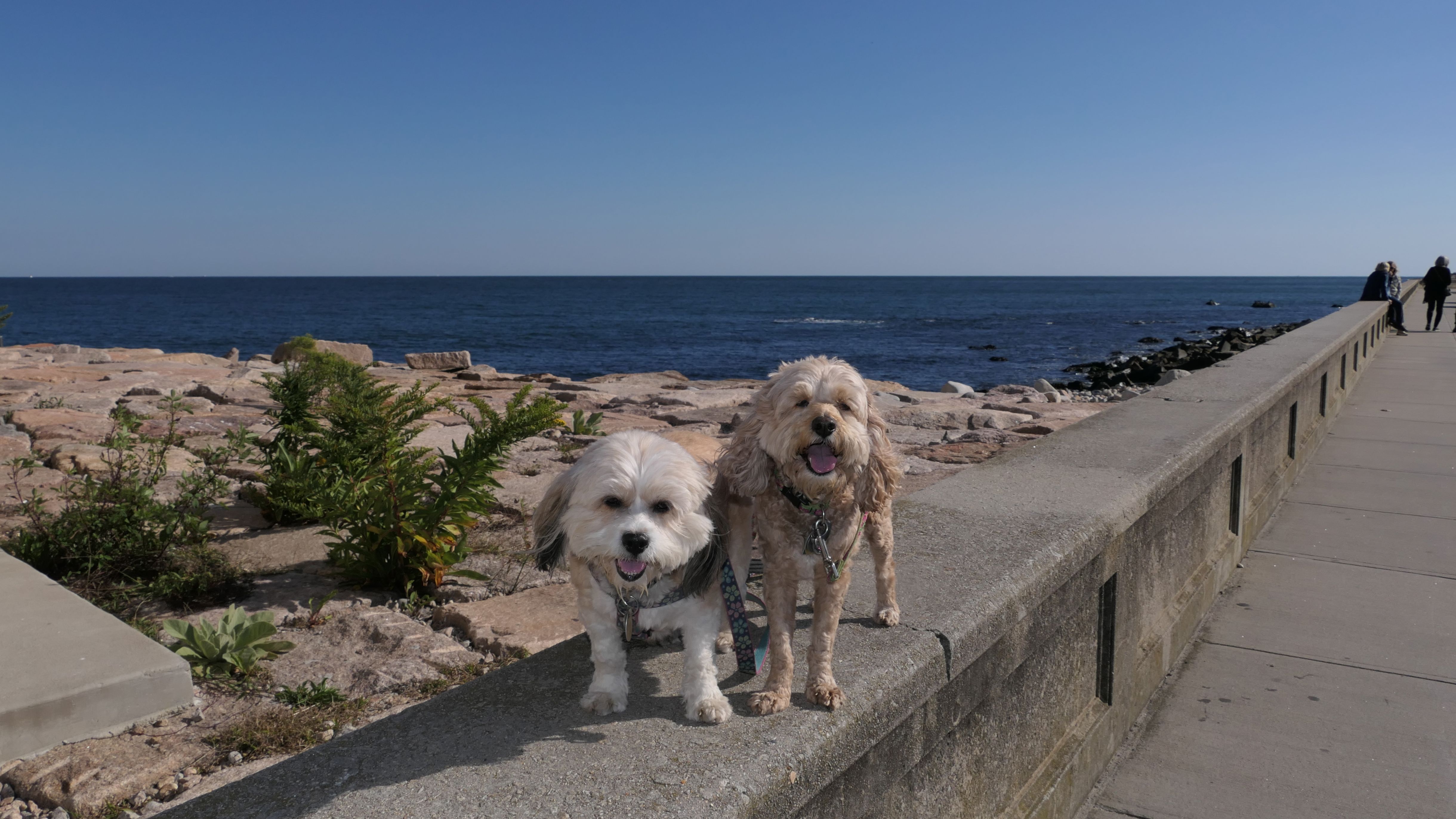
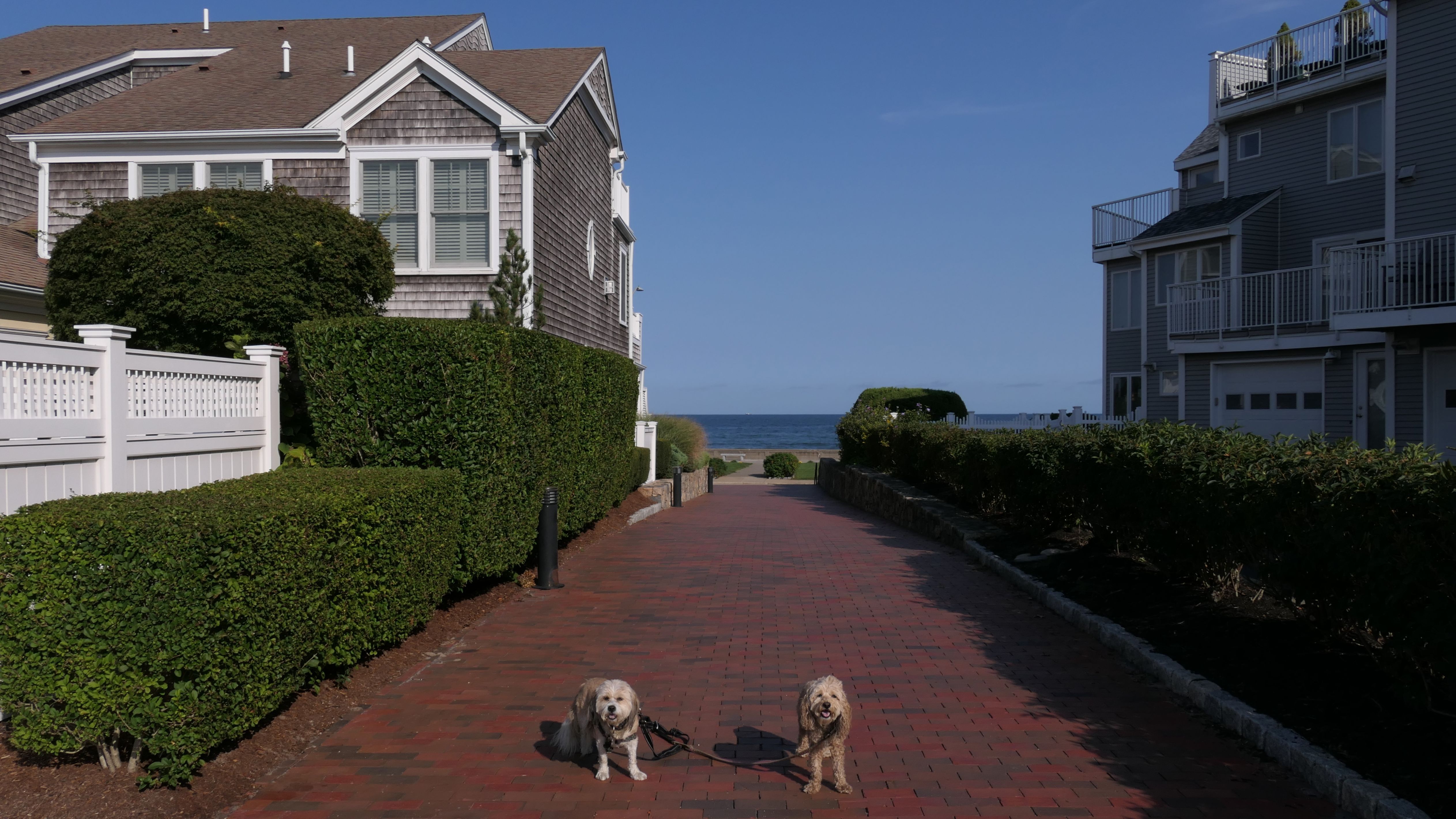
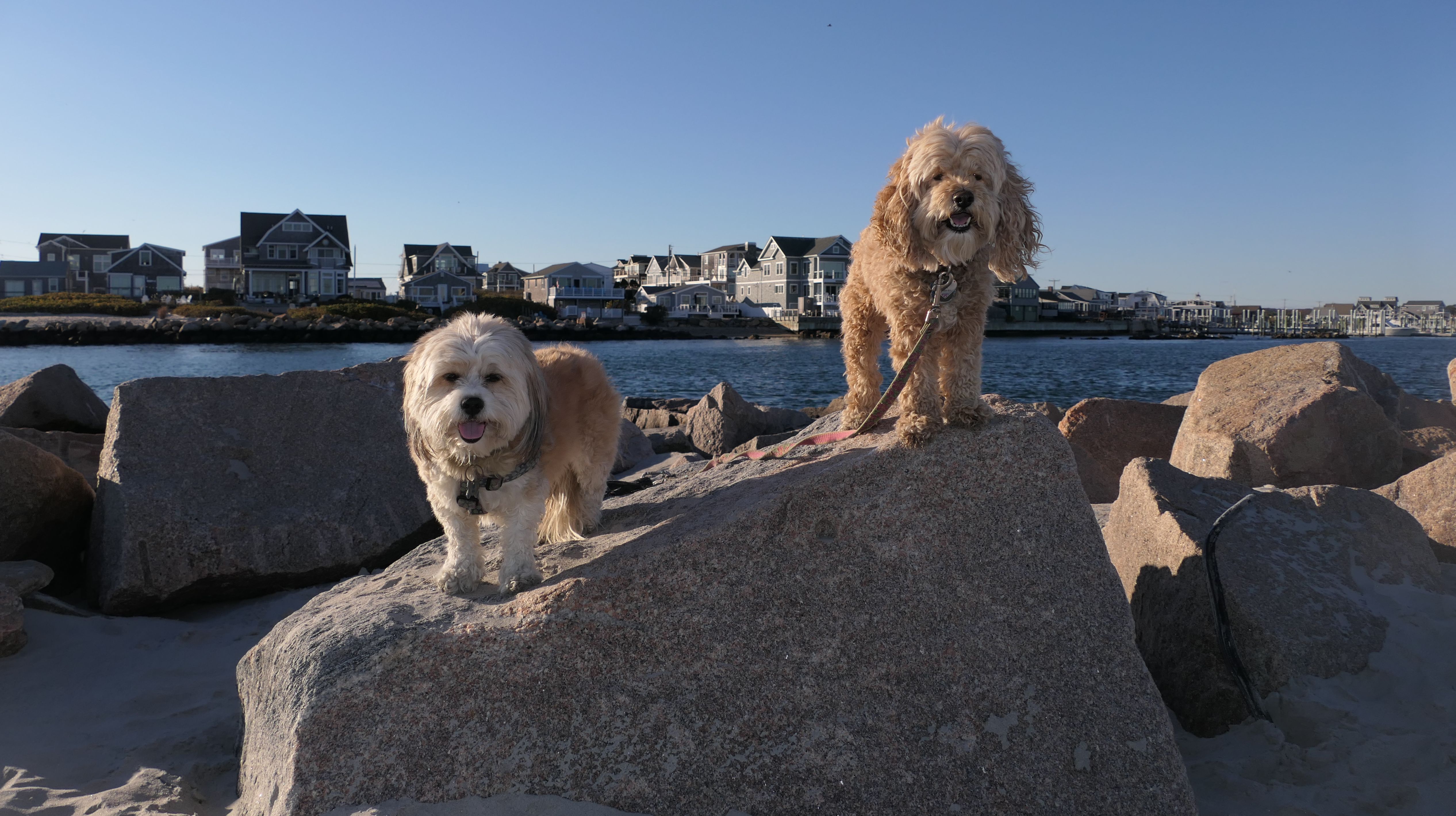
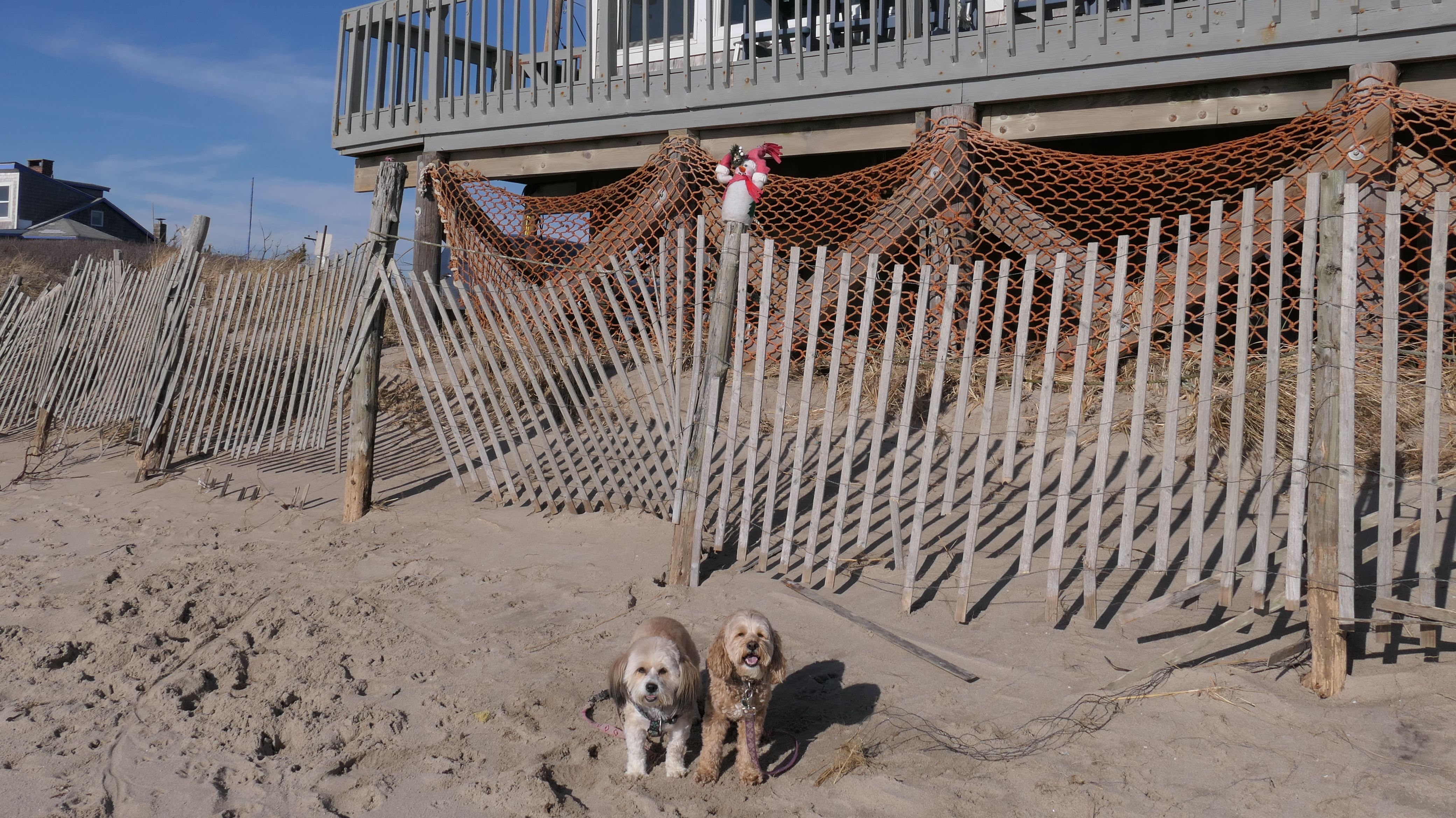
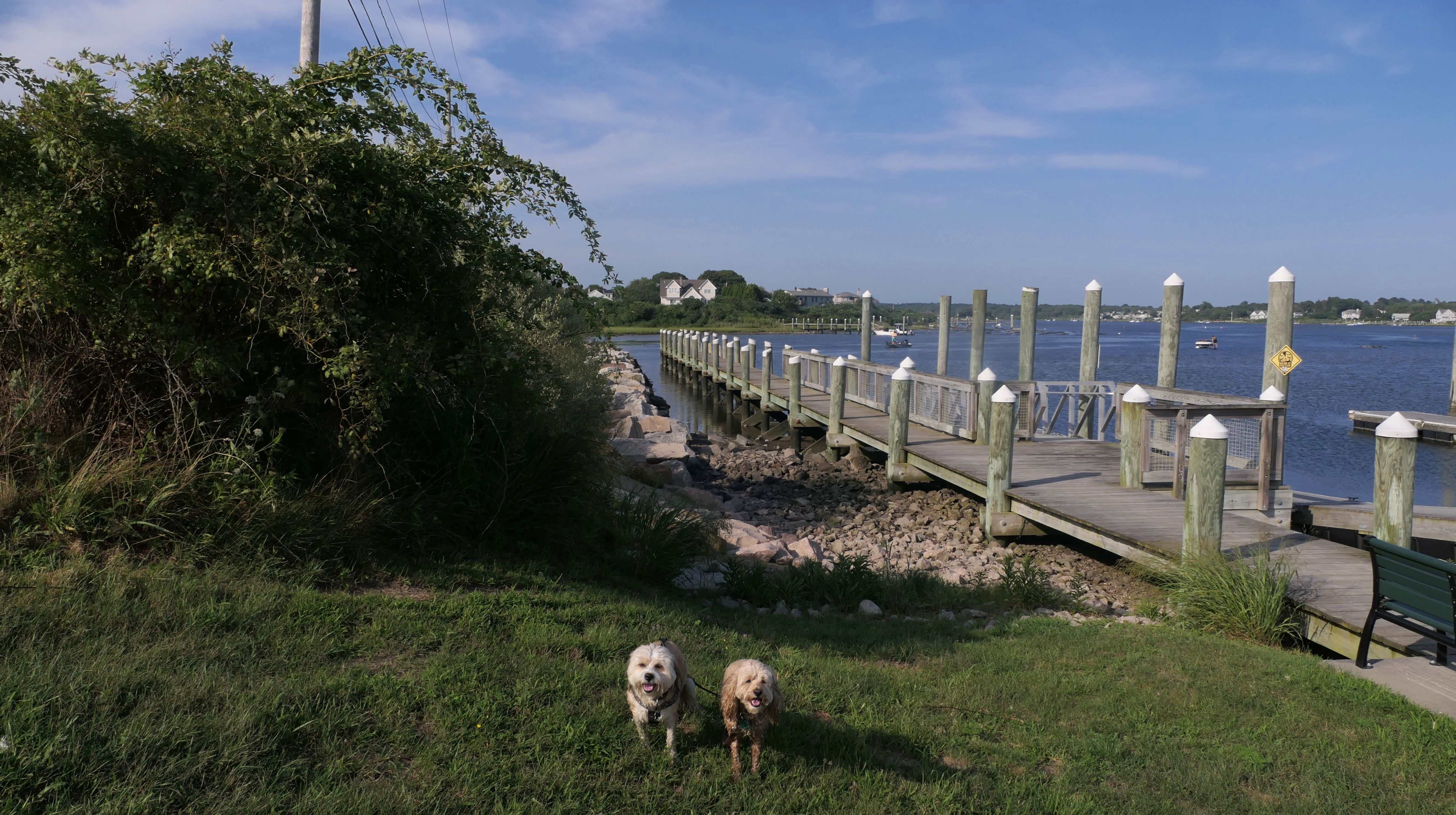
Narragansett Pier Seawall Walk
Date visited: 10/11/2023
This is the walkway that runs between Ocean Road and the seawall, from the state boat launch/fishing pier to Narragansett Town Beach. We started at the fishing pier and made our way to area around the beach before heading back. (We skipped this beach on this trip since we had already visited it three times already). Even though we had been in this general area before, this is the first time we actually walked the path between the fishing pier and The Towers. It was a great two mile walk out and back on a gorgeous autumn afternoon.
More Images
Narragansett Pier Seawall Walk
Dates visited: 12/27/2024
After climbing on some rocks near the state pier, we utilized the seawall walk to reach the gazebo area and the Christmas Tree. Here are some photos from that walk.
Narragansett Pier Seawall Walk
Dates visited: 4/23/2025
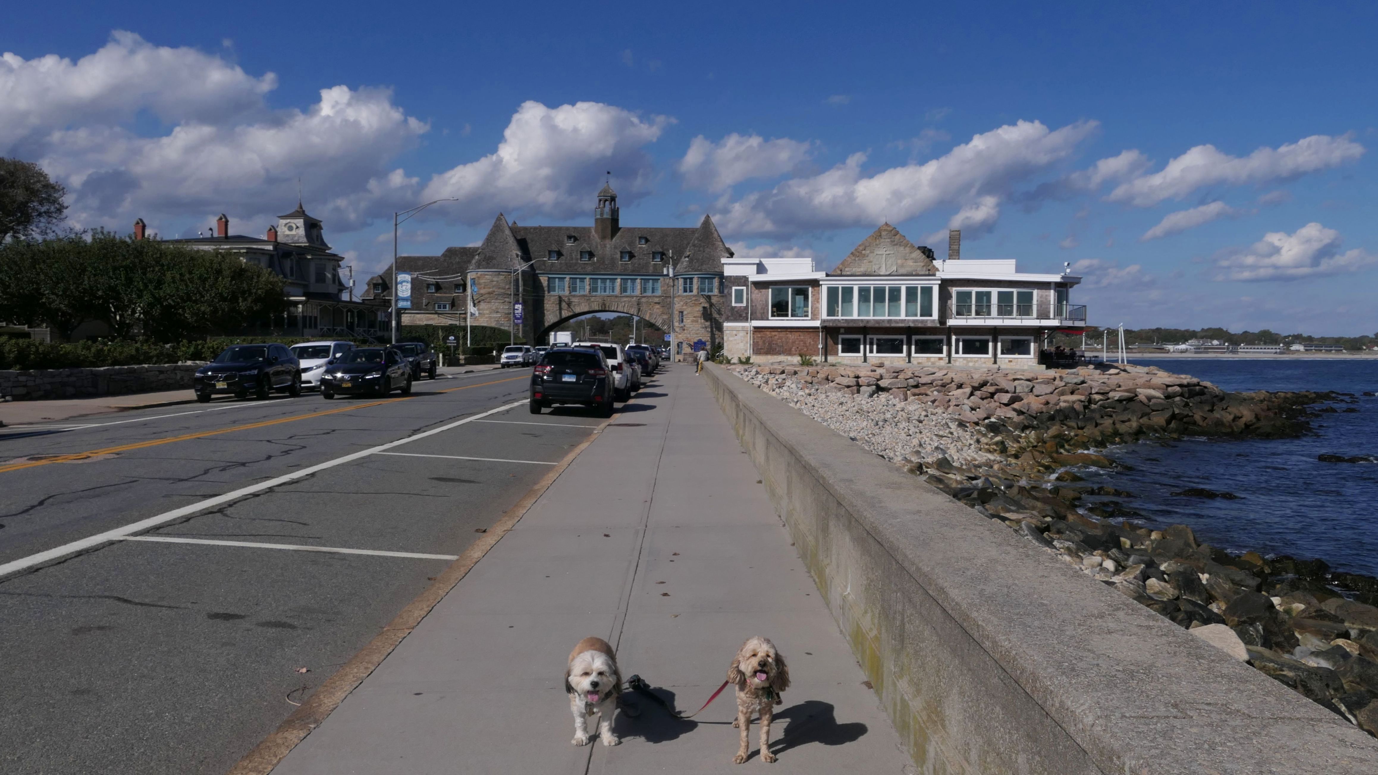
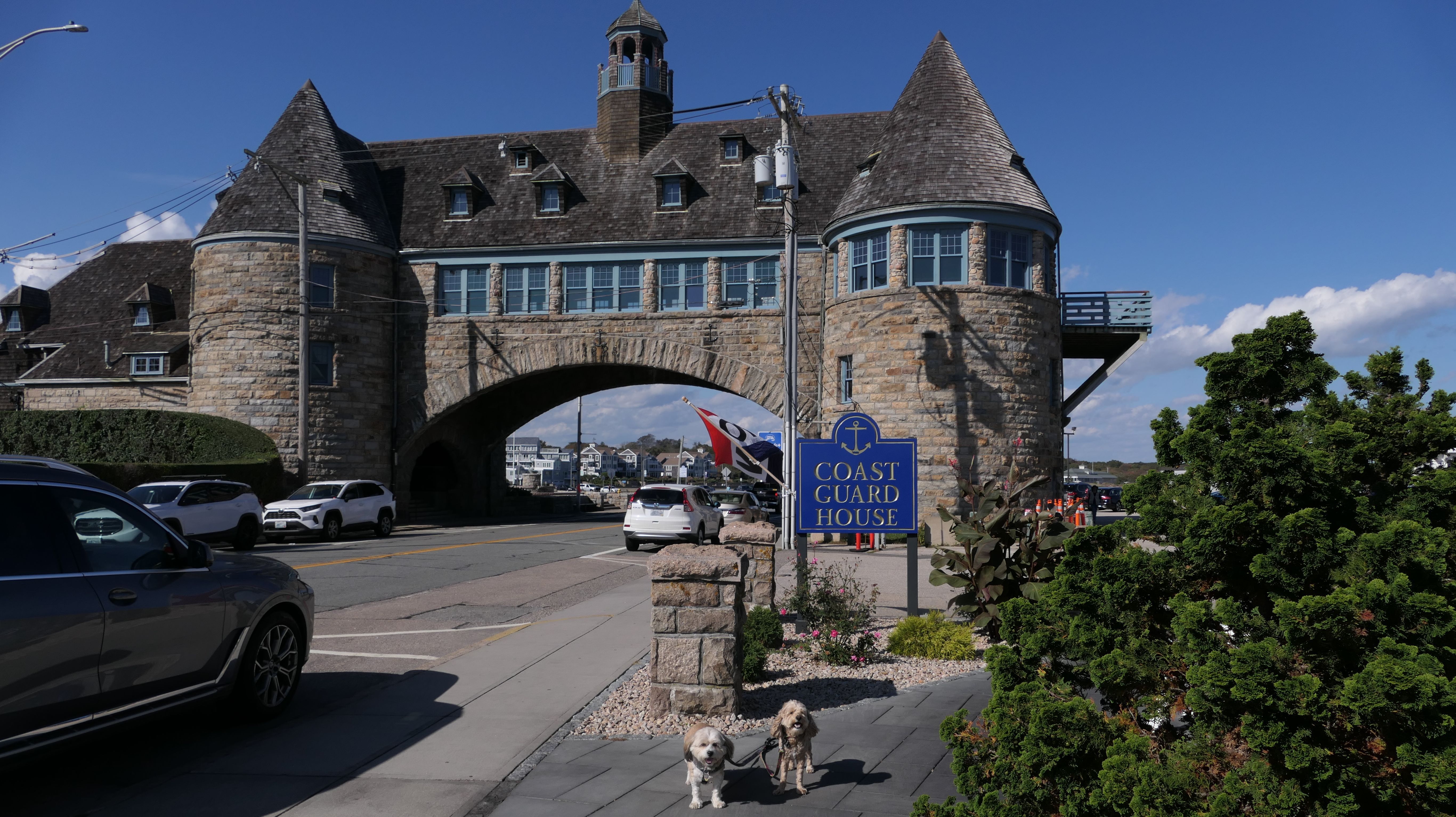
We walked some of the seawall walk after our visit to the town beach. We stopped and took some photos near the Towers and the Coast Guard House before turning onto one of the side streets leading to the Central Street Historic District.
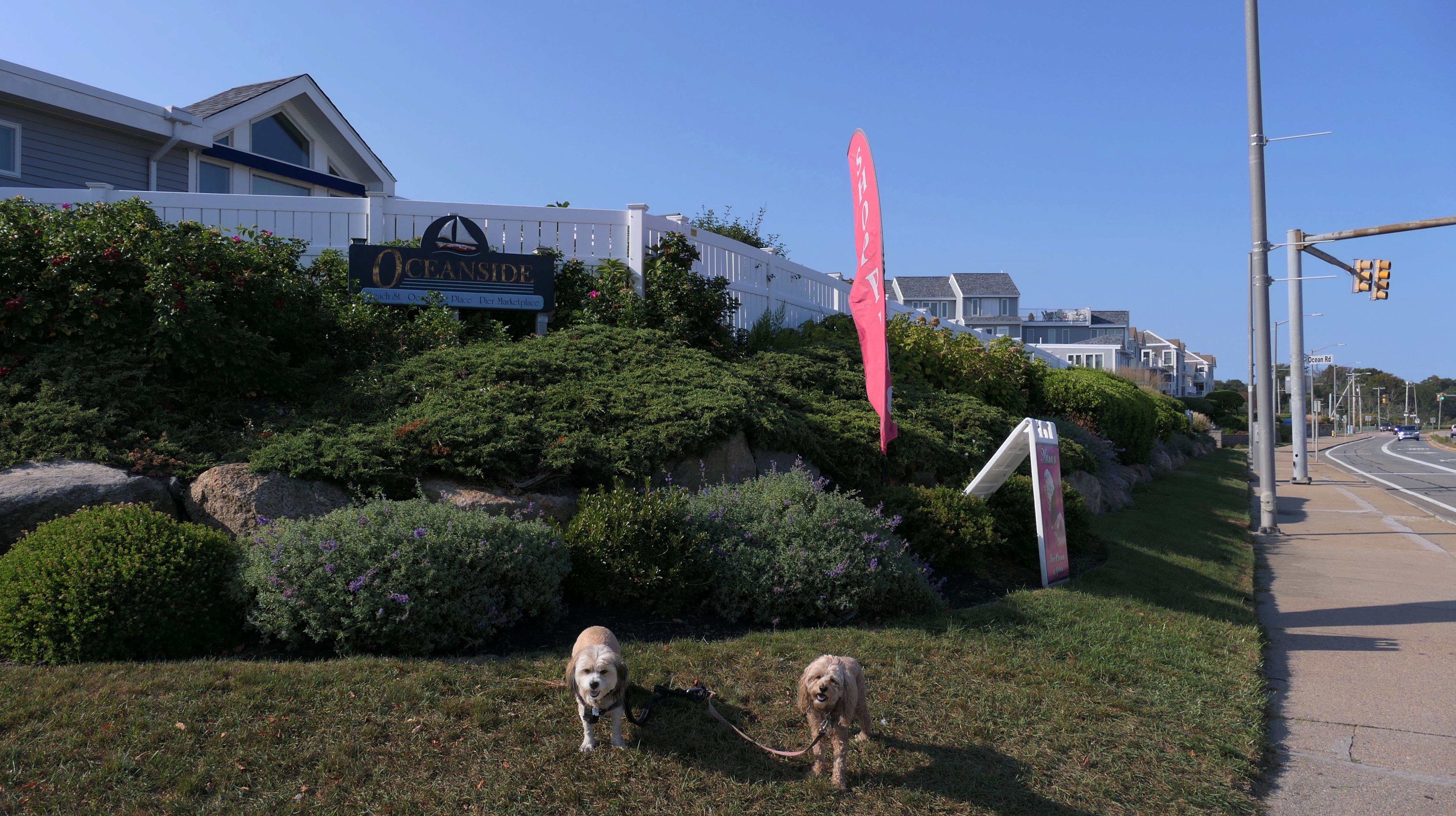
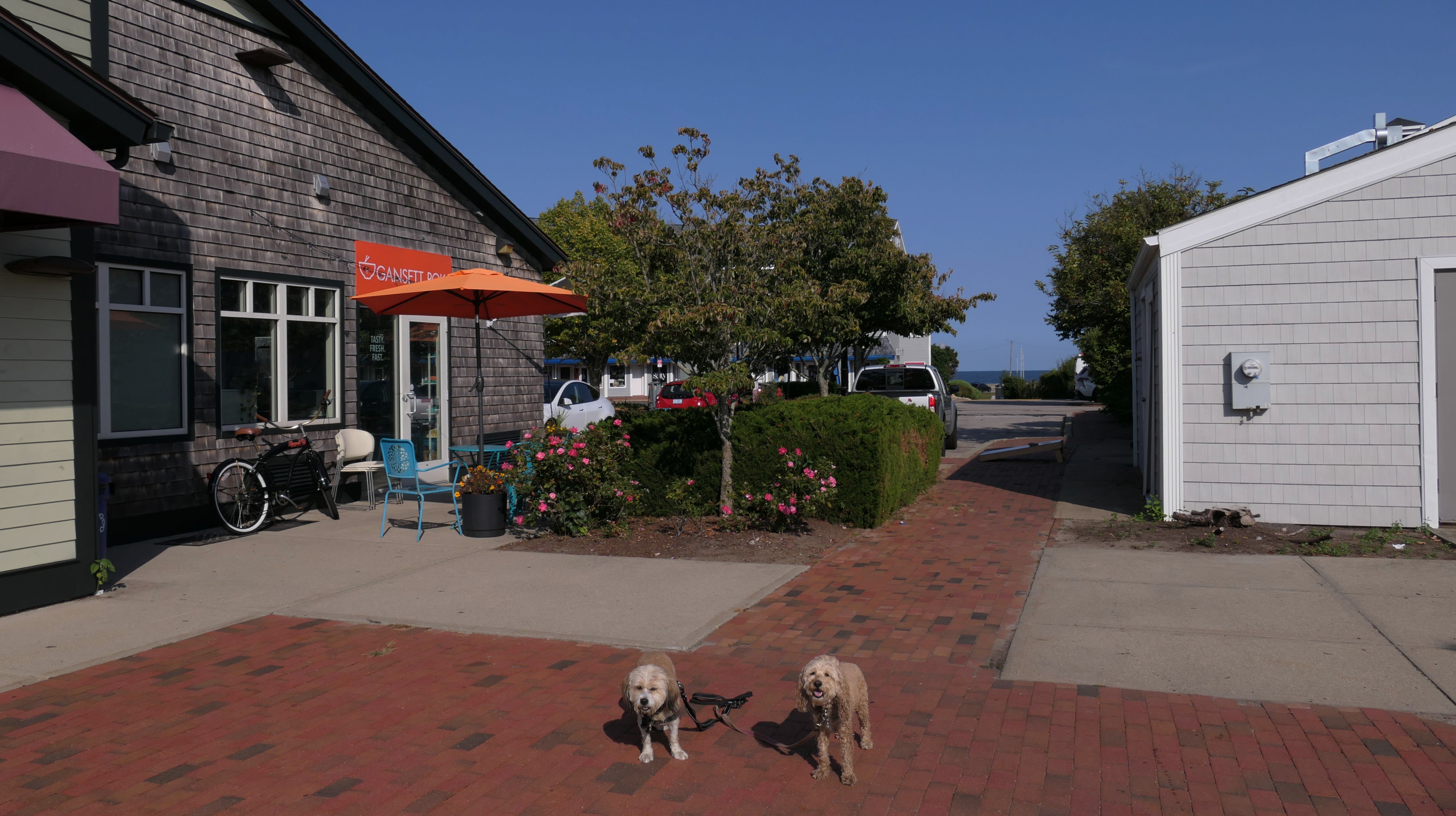
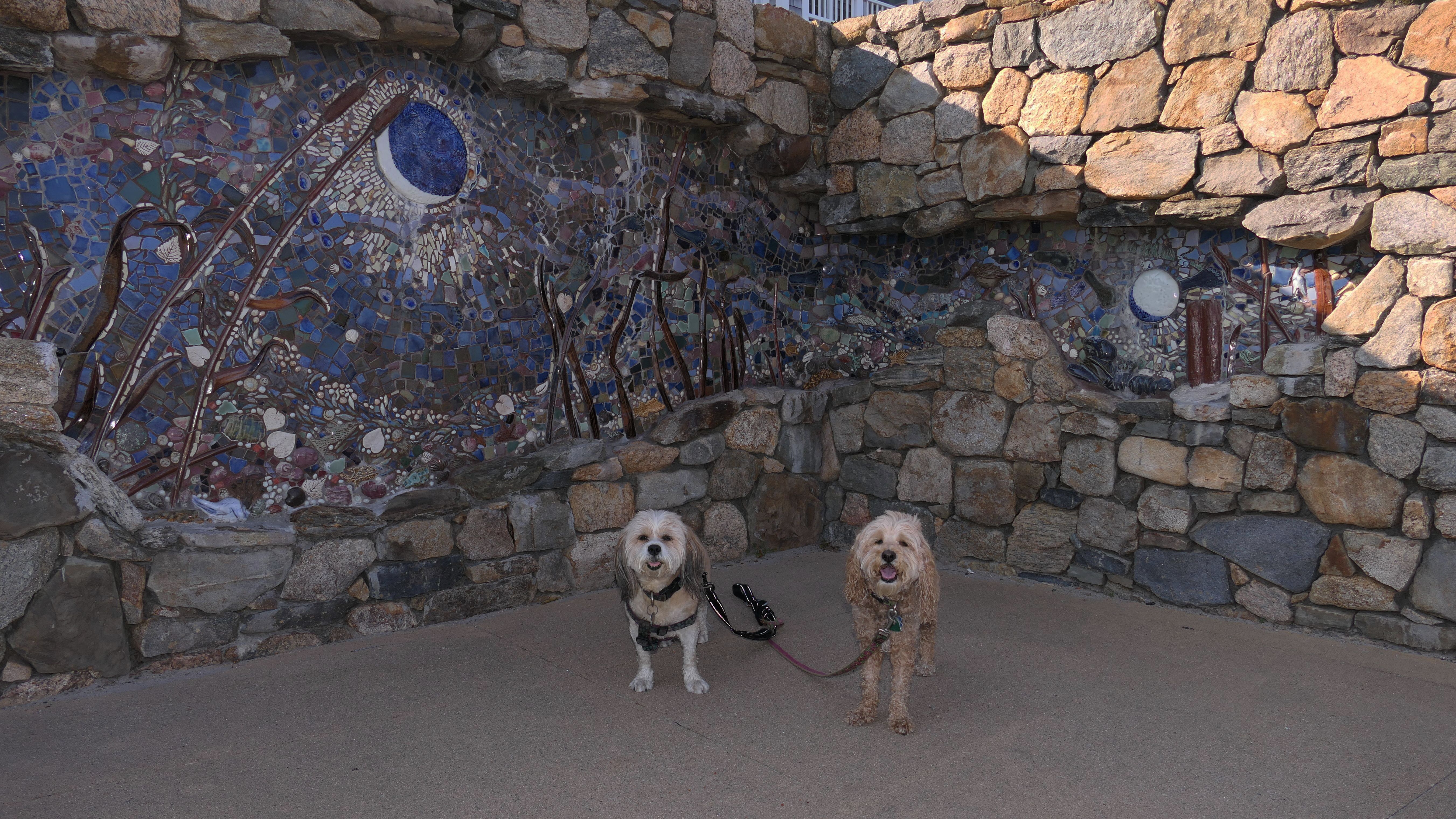
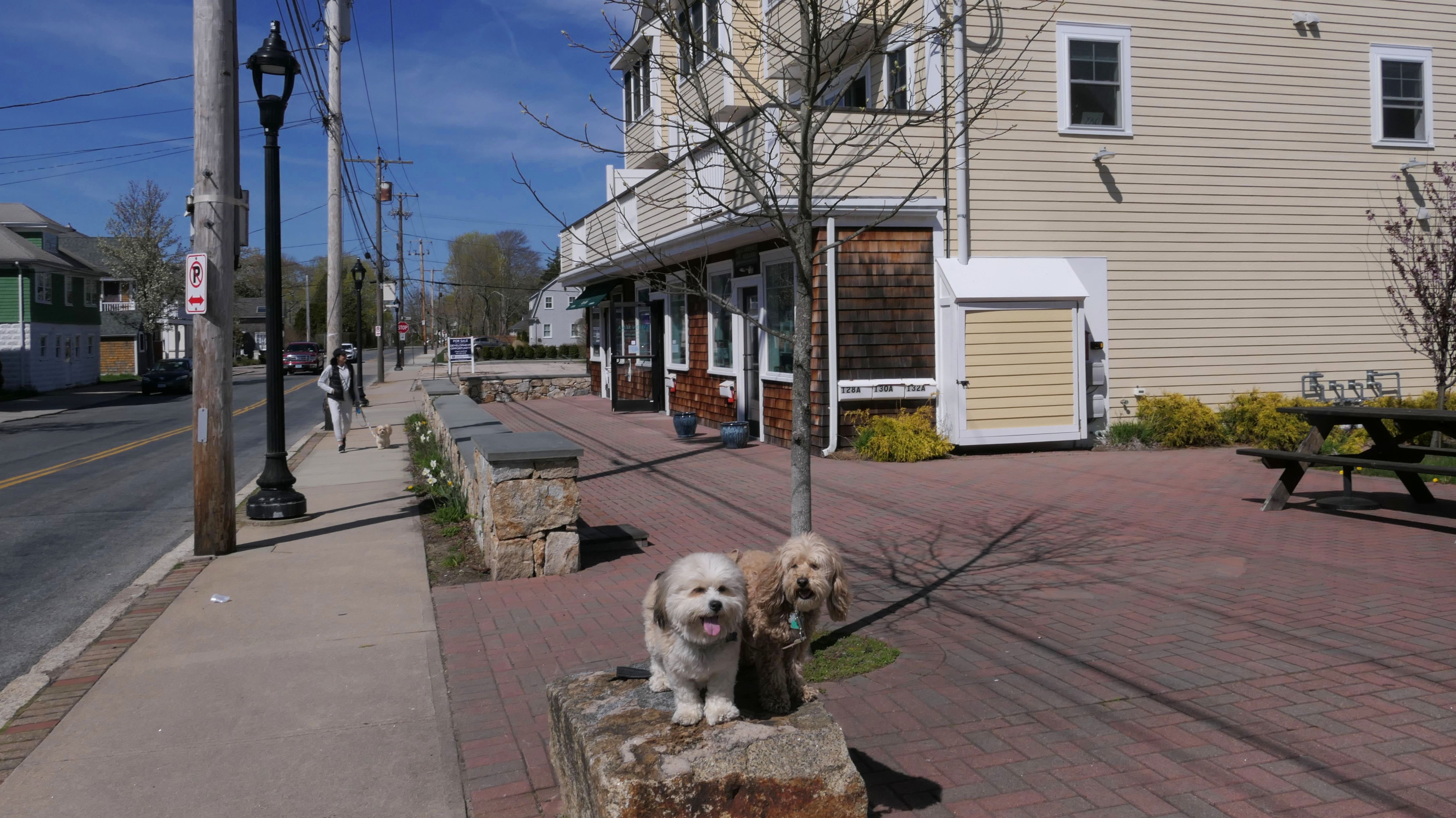
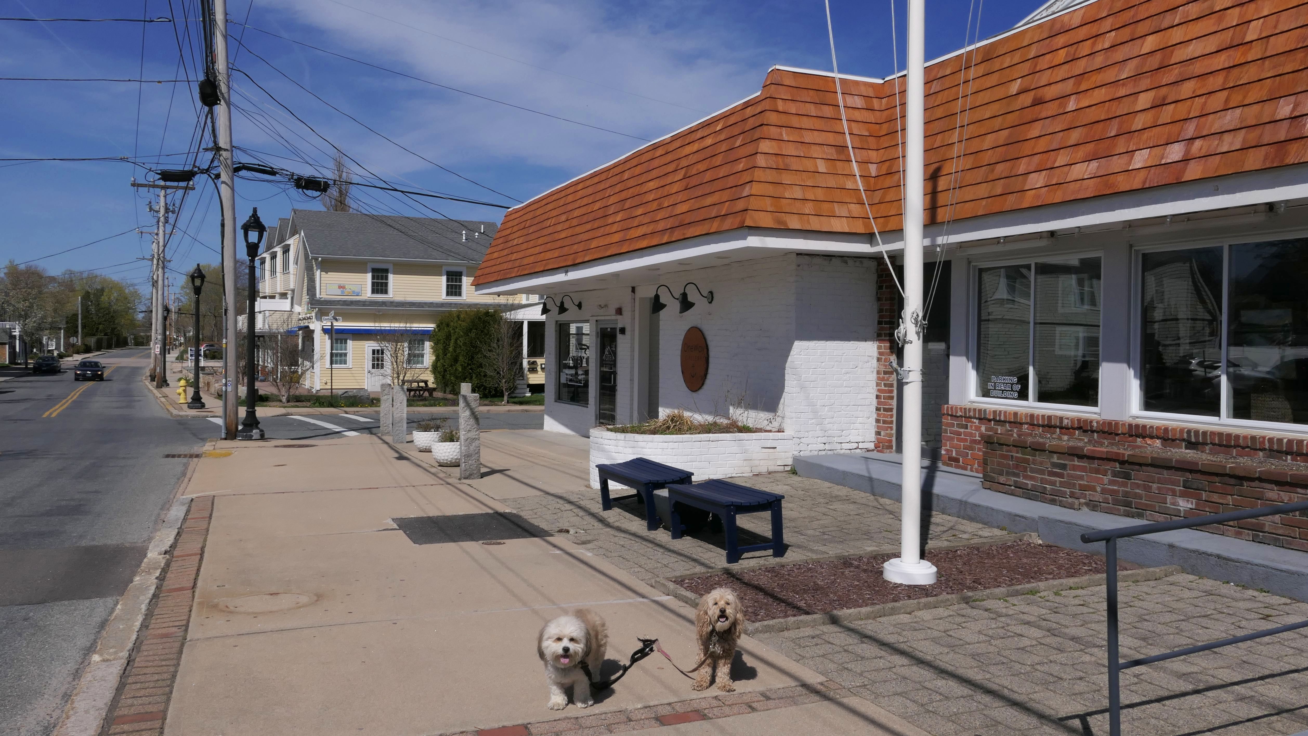
Narragansett Pier Marketplace
Date visited: 9/16/2024
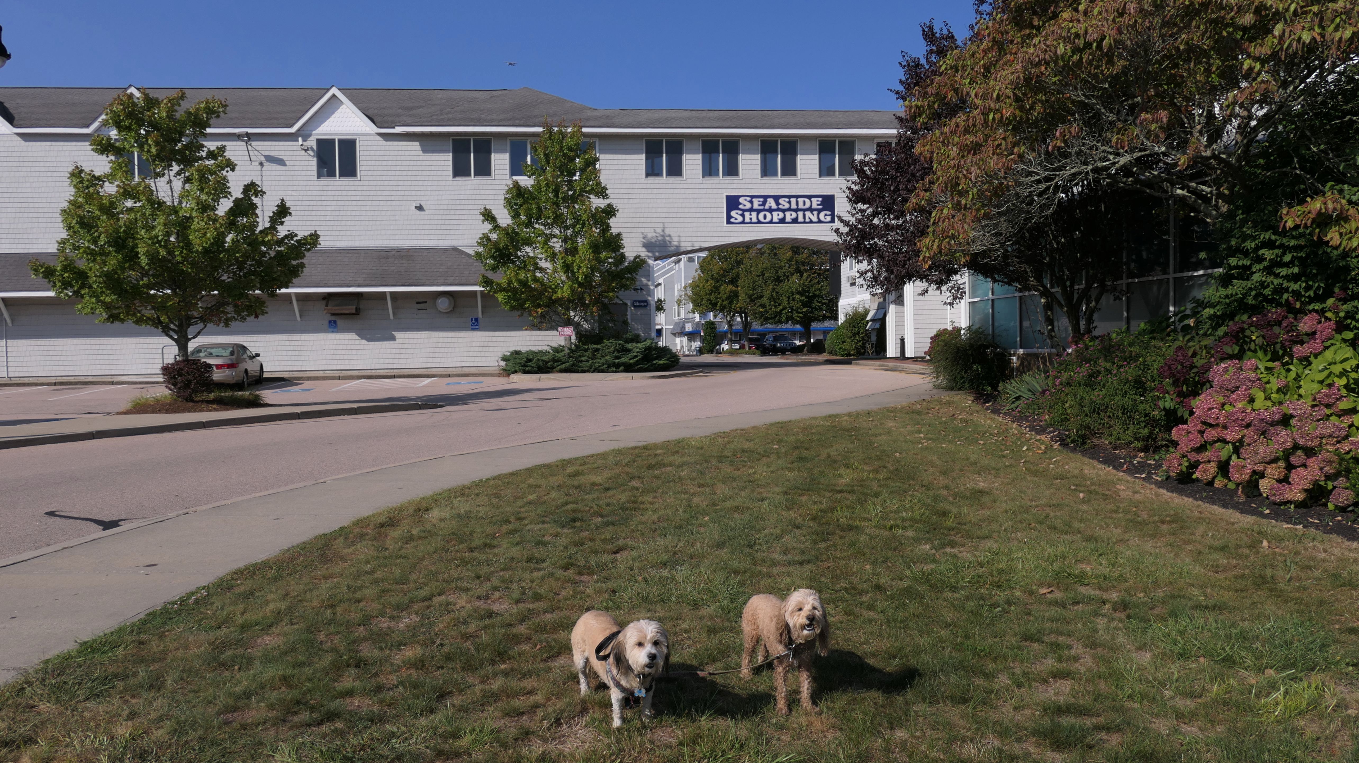
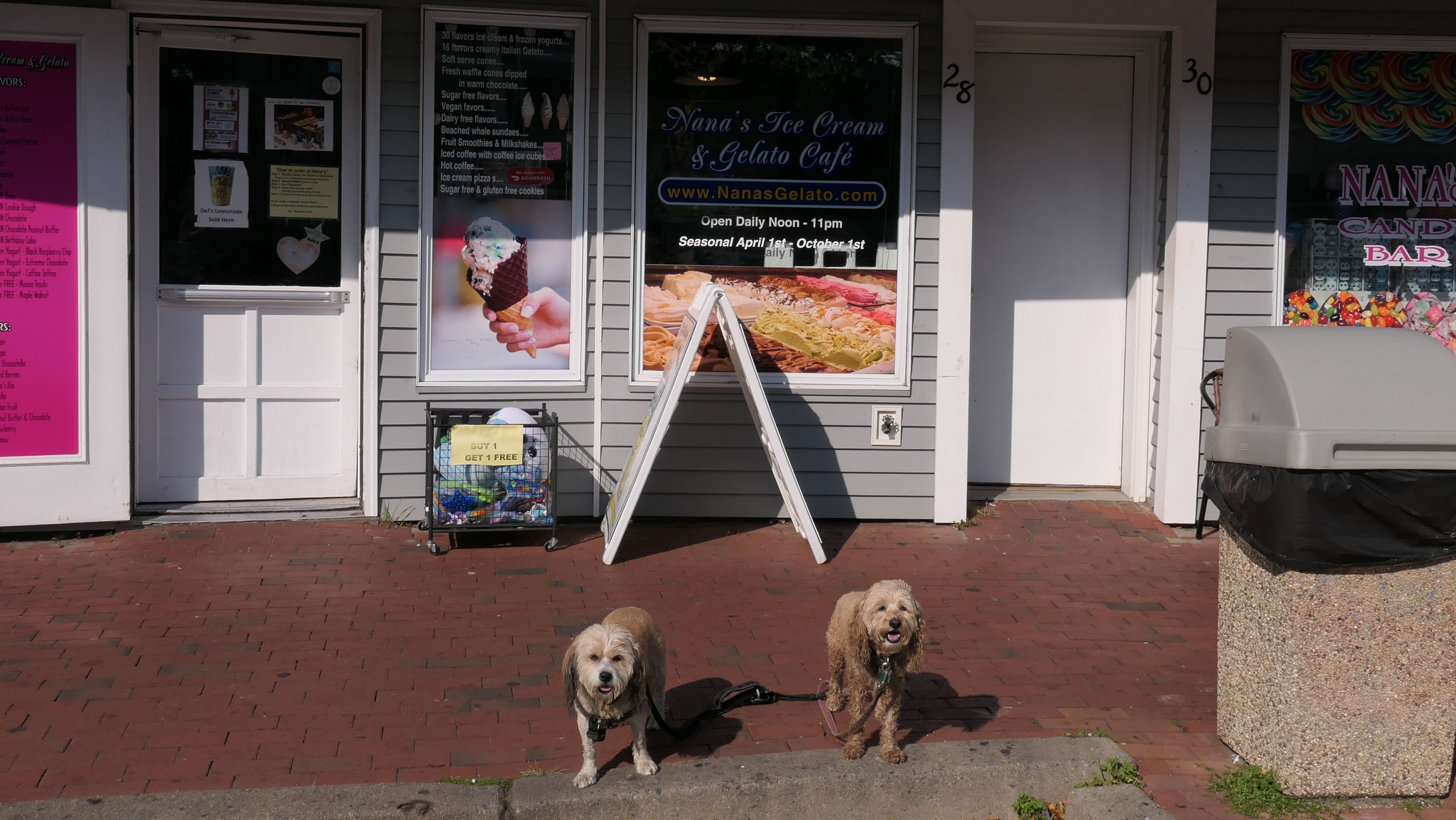
This is a shopping area and condo complex across the street from the Town Beach. The are fewer shops here than some of the other touristy parts of Rhode Island. We stopped at the ice cream shop so I could get a Del's Lemonade. There's also a cool, carved stone wall along the sidewalk.
More Images
Salty Brine & Roger Wheeler Beaches
Dates visited: 11/12/2022
These are State Beaches in the Galilee section of Narragansett, right next to the Block Island Ferry. Dogs are allowed on Rhode Island State Beaches in the off-season, and even though it's 70 degrees in November, it's still the off-season. These beaches are connected, at least in the off-season. I think there might be a private beach in between that's roped off during the summer. I'm not really sure. These are okay beaches, but I think the Town Beach is nicer.
More Images
Salty Brine & Roger Wheeler Beaches
Date visited: 10/11/2023
On this trip, we visited Roger Wheeler Beach. We parked at the lot for that beach, which happens to be right near where we left off last time. We headed southeast along the beach. I wanted to walk on the beach all the way to Camp Cronin, but eventually the sand disappeared, and the rest of the walk would have been on all rocks the rest of the way. This was a little too difficult for us to navigate, so we eventually turned around and headed back. This section of the beach also features some sand trails that we were able to explore on our way back.
More Images
Salty Brine & Roger Wheeler Beaches
Date visited: 11/7/2024
Despite being the first week of November, It was another fantastic day, sunny skies and 70 degrees! We had been very busy recently, and I was going to take a day off from crazy adventures, but I couldn't waste this kind of day this late in the year. So we returned to these beaches. We walked almost three miles here, starting at Salty Brine, and ending at the rocky area east of Roger Wheeler beach, before turning around and heading back. We walked around the tourist area near Salty Brine after finishing with the beach. It was another great walk on a gorgeous autumn afternoon.
More Images
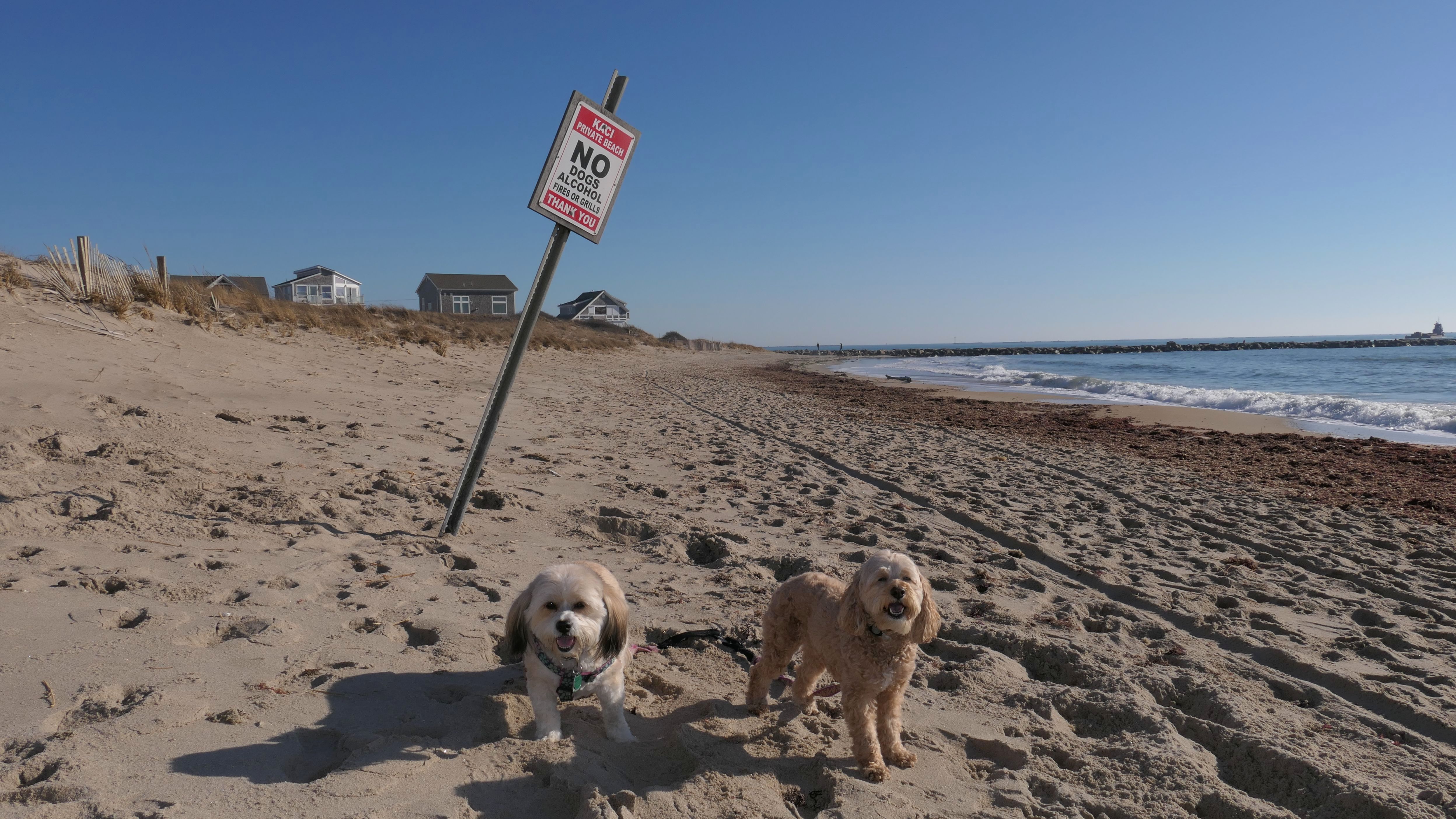
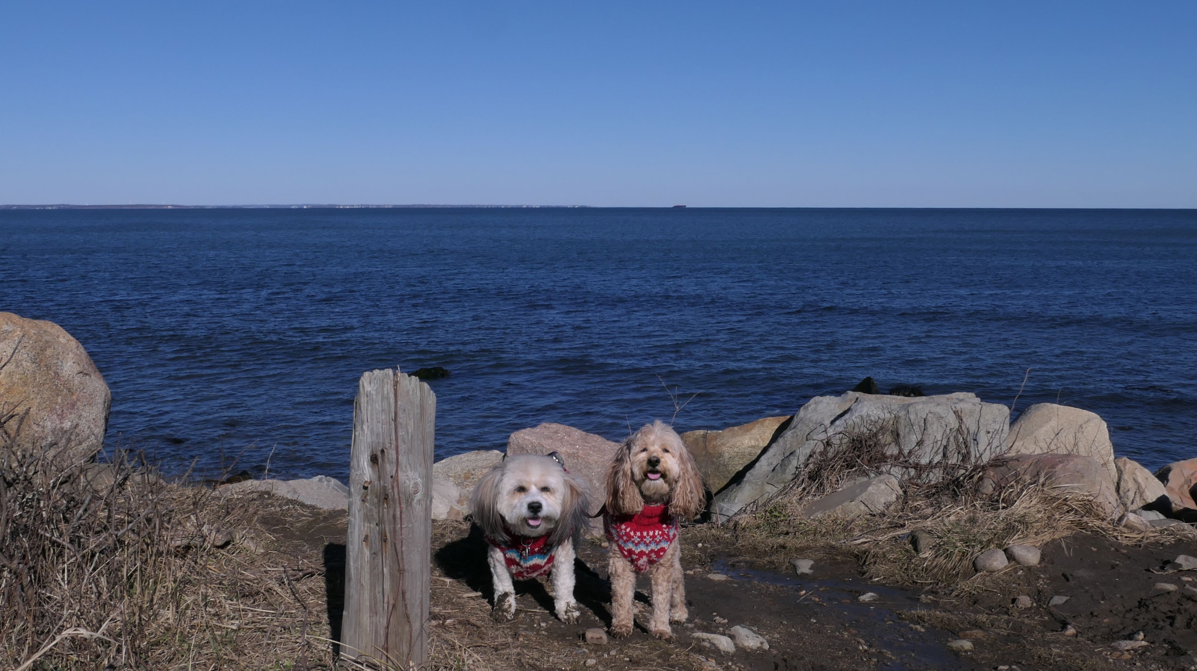
East Matunuck State Beach
Date visited: 12/30/2022
This was our 66th and final visit to Rhode Island for the year. It's been a wild ride! This beach is located mostly in South Kingstown, and you can read more about our visit on that page. The Narragansett section is on the east end of the beach. I guess the state beach ends at the "KACI Private Beach No Dogs Alcohol" sign, so we turned around at that point. The pictures below are from the Narragansett section.
More Images
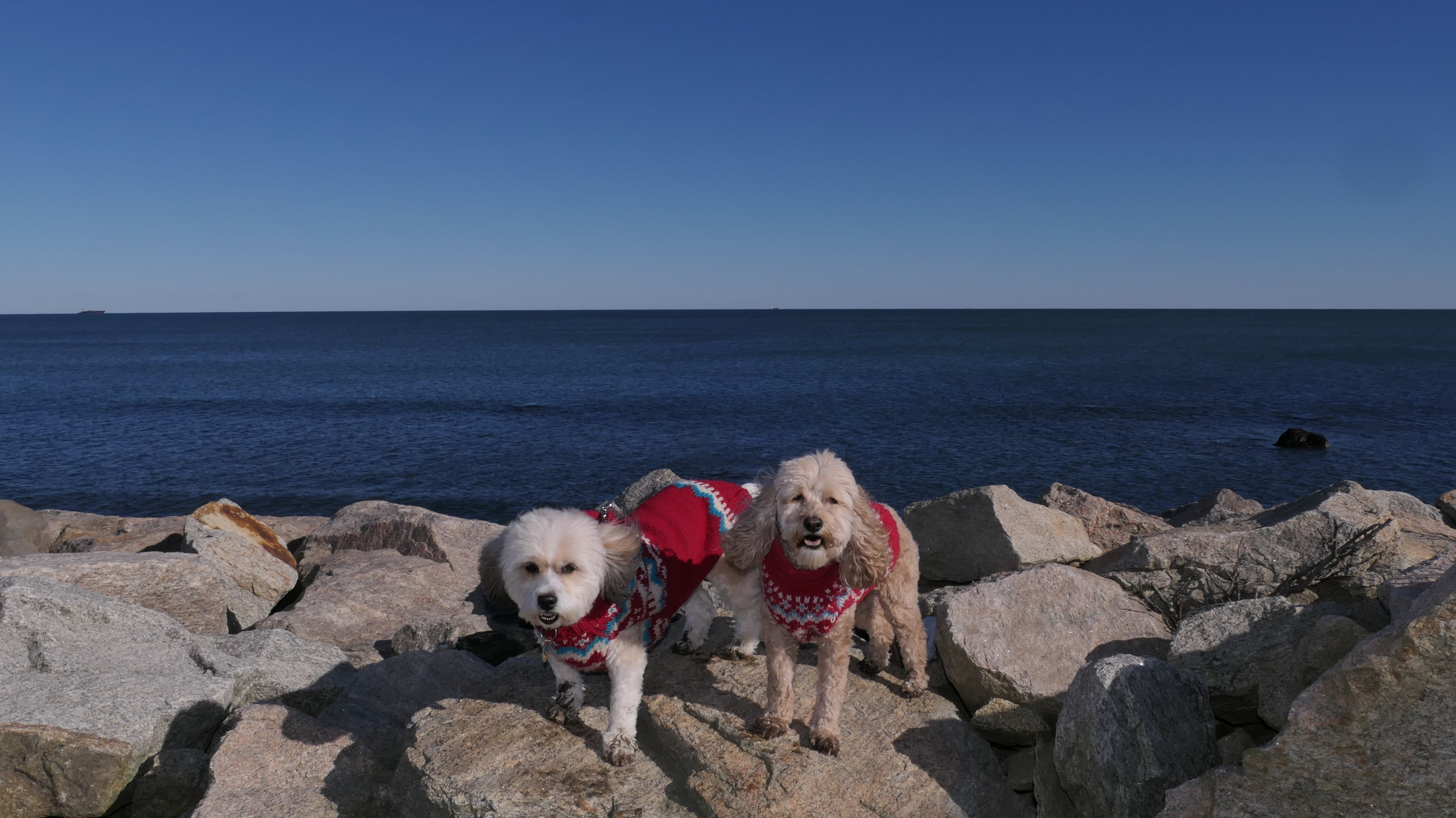
East Matunuck State Beach
Date visited: 10/6/2024
This was our second visit to this beach that lies on the border of Narragansett and South Kingstown. These are the photos from the Narragansett portion of our walk. This time we made it all the way to the rock jetty. Last time we turned around at a "private beach" sign, but this time the sign wasn't there. Since our first visit, the public beach access law has been clarified, and the public has access to all of the Rhode Island shoreline (up to 10 feet past the high tide line).
More Images
East Matunuck State Beach
Date visited: 1/13/2026
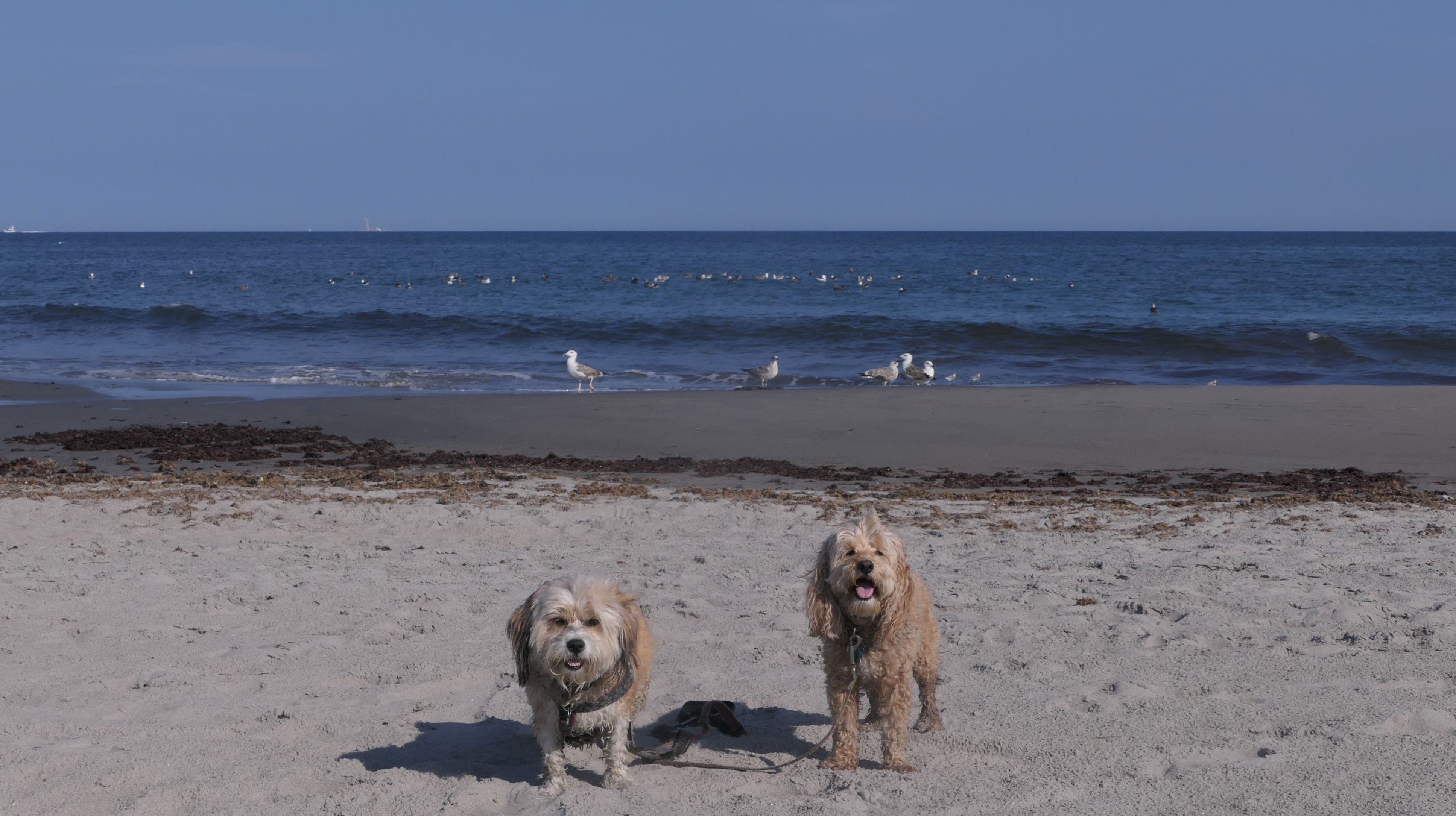
This was a quick 2.5-mile walk on a mild January afternoon. We covered nearly the entire length of the beach, though all of the photos are from the Narragansett side. We made it out to the far eastern end near the Point Judith Breachway, a busy waterway with regular ship traffic. The fishing vessel Alexis Martina was heading out to sea as we arrived. I'm still getting used to a new camera and had the shutter speed set incorrectly at the start of the walk, so most of the action shots of Mandy and Lexi didn't come out. Even so, it was an enjoyable walk along the beach and a welcome break from typical January weather.
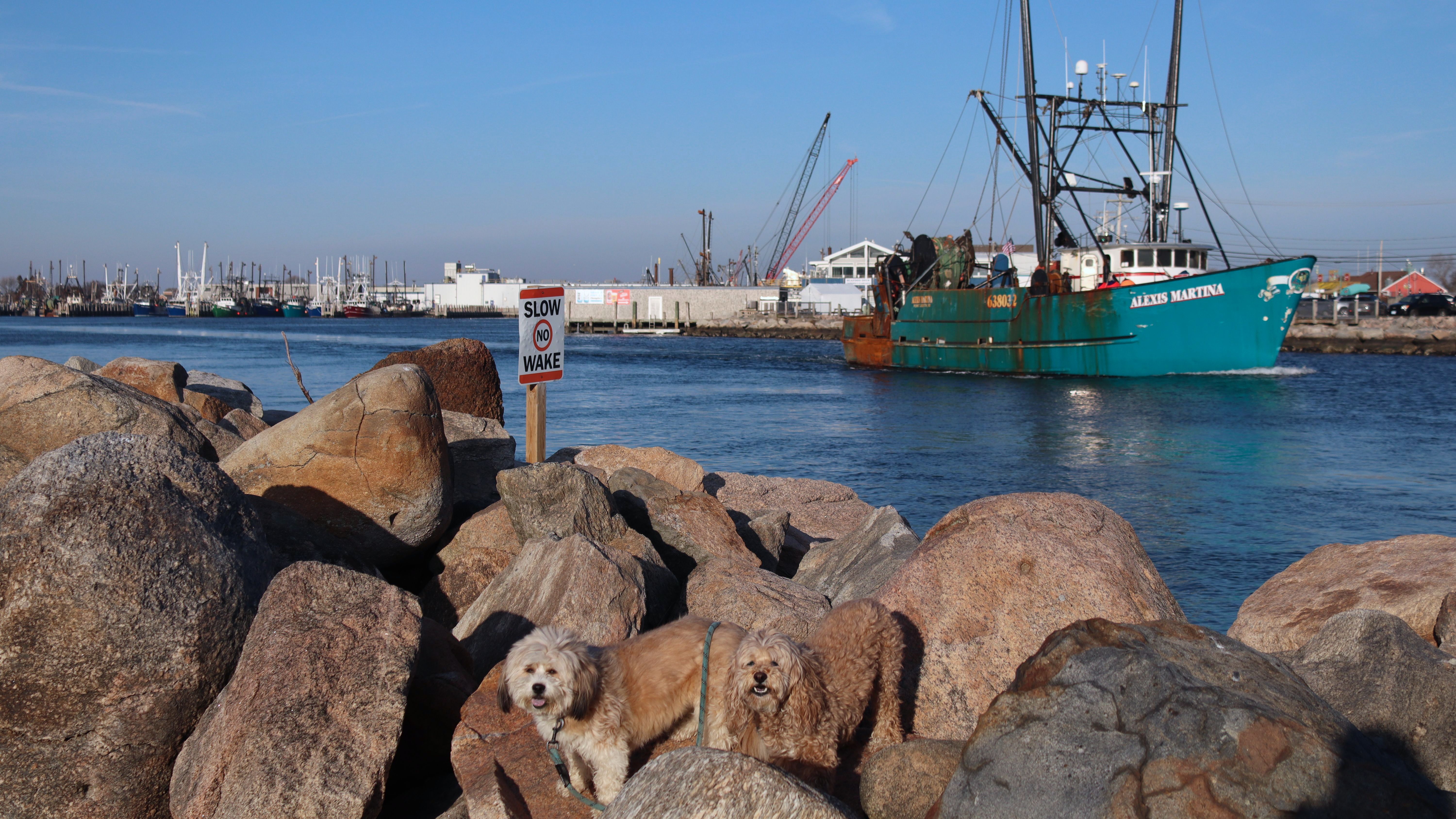
More Images
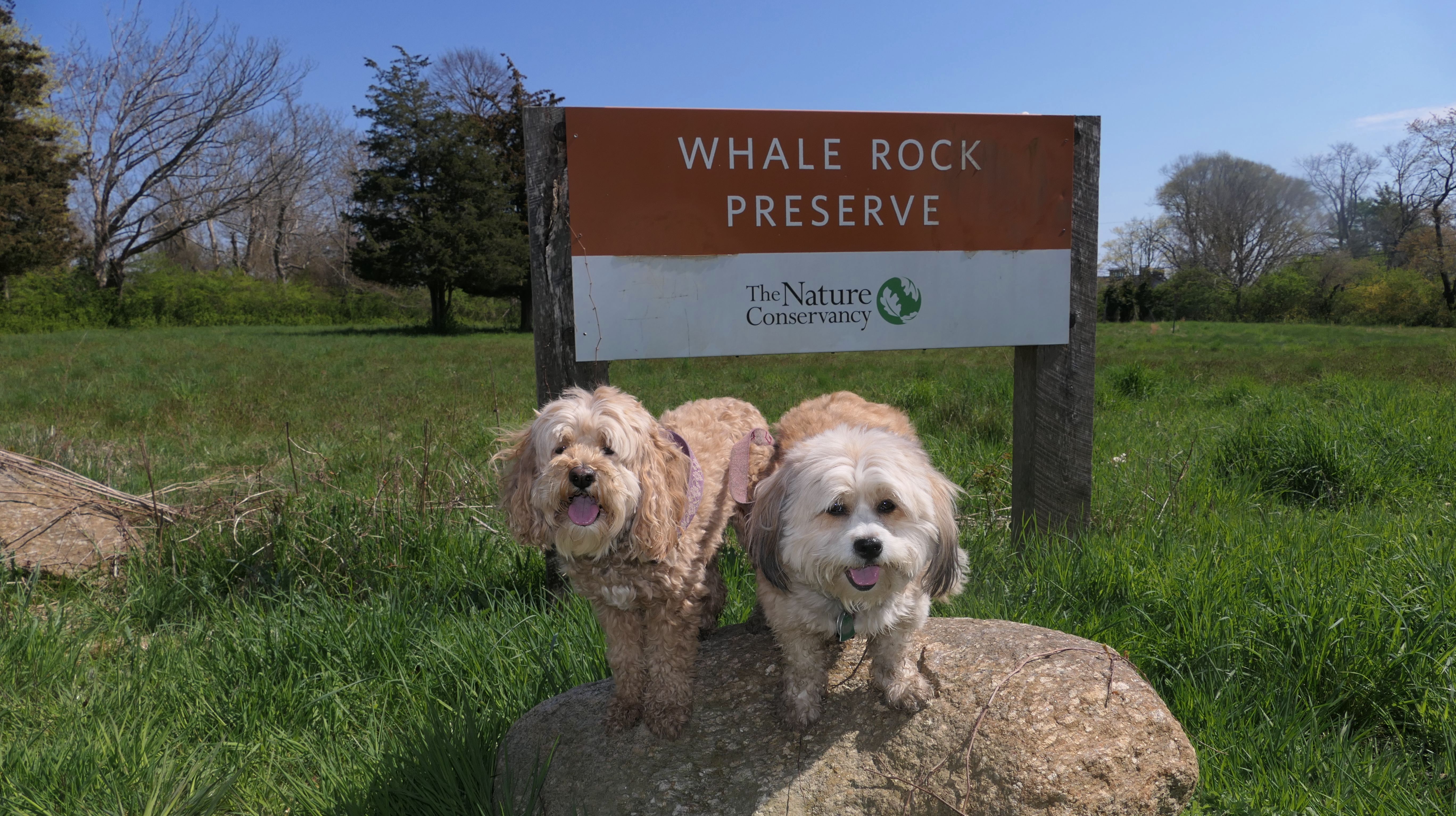
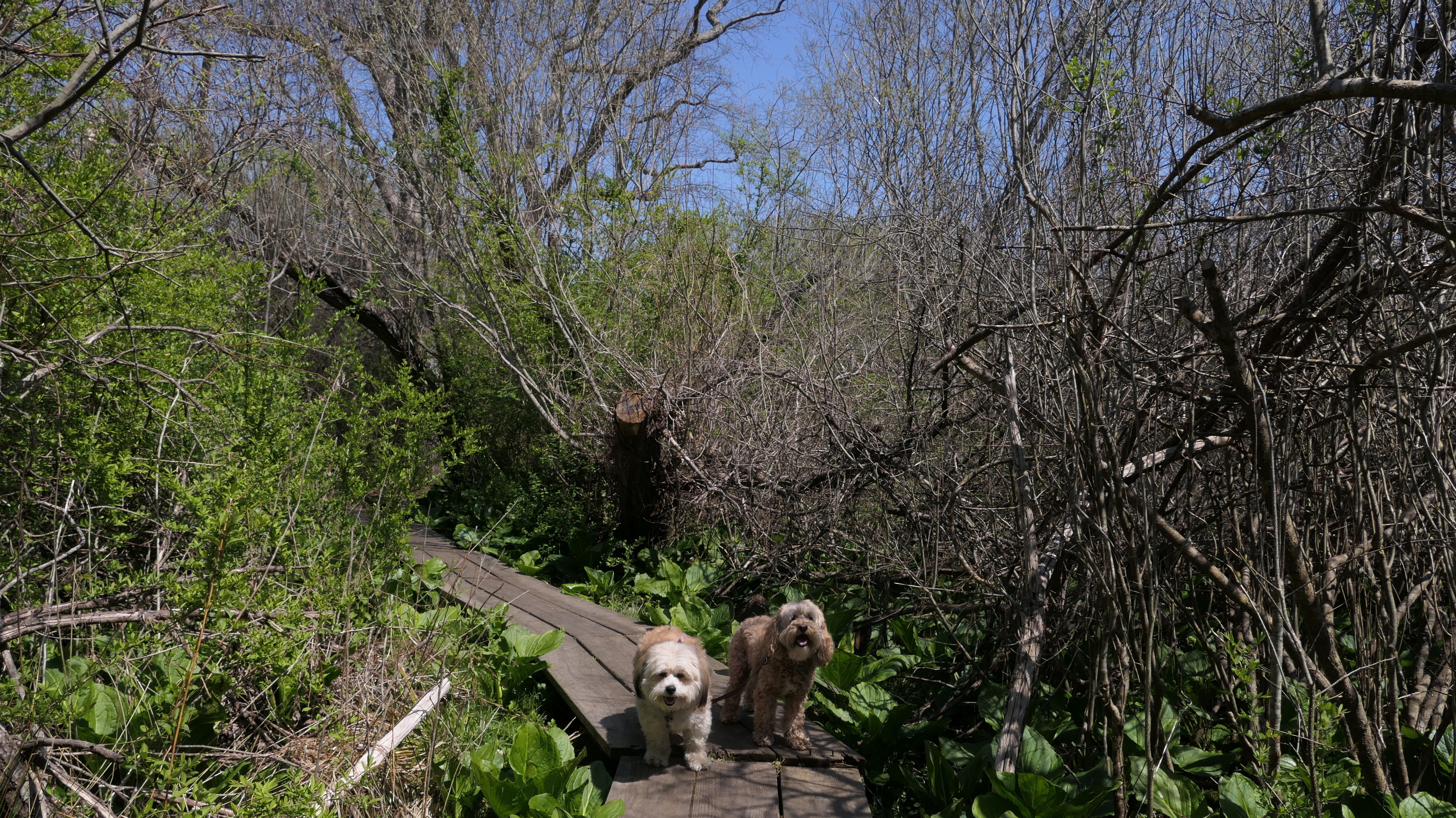
Whale Rock Preserve
Date visited: 4/26/2023
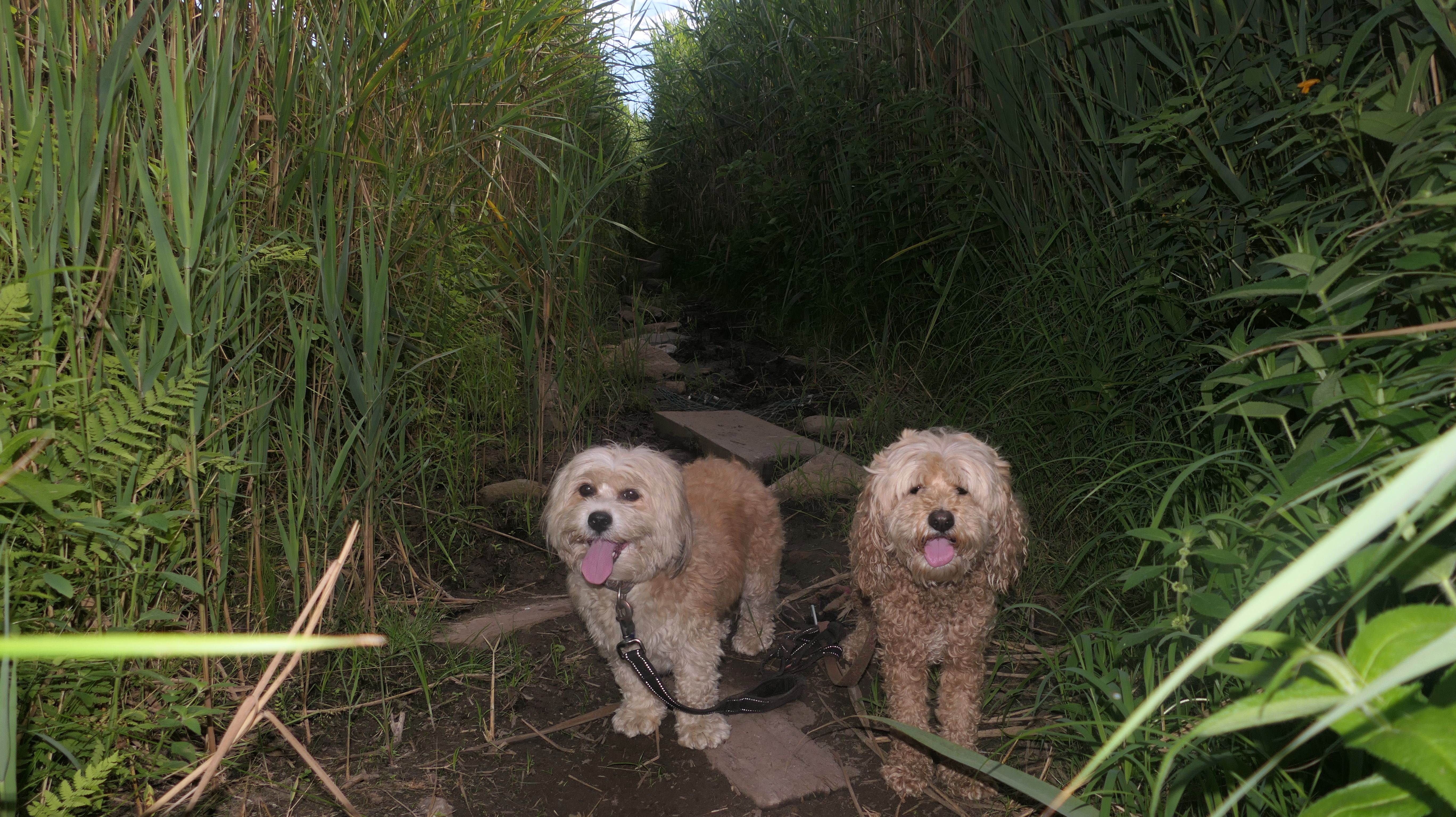
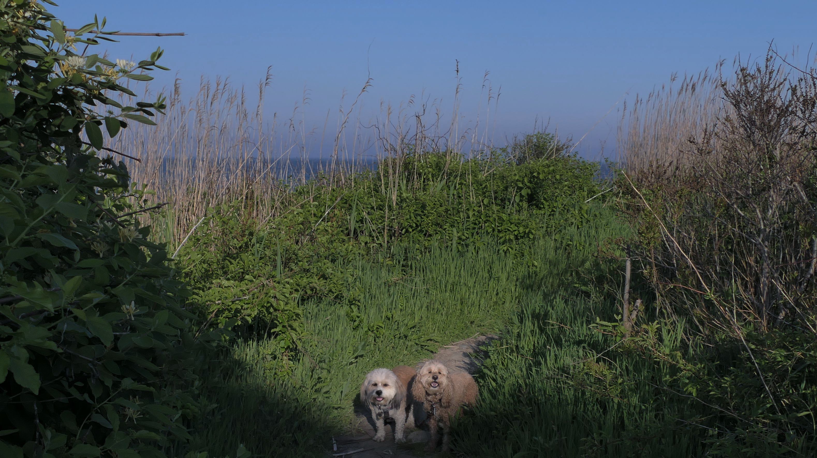
First and foremost, dogs are not allowed here. The sign explains "Trail and boardwalk areas are too narrow to safely accommodate visitor and dog use". That is some very weak reasoning. I was reading reviews on the All-Trails app, and some of them mentioned that the no dog rule was largely ignored. In fact, as I arrived a man was leaving with a big dog, and we passed another dog walker during our hike. Use this information as you will....but don't blame me if something happens because you brought your dog here! That being said, this was a great walk! The "narrow" path proceeds for a half mile through some swampy areas, with "narrow" boardwalks over most of the real wet spots, before reaching the shoreline. Toward the end of the trail, one side is bordered by a barbed wire fence protecting the trail from the Camp Varnum National Guard Base. Once at the shore, the trail continues along side the fenced in facility, or you can simply walk the rocky shore line for another half mile or so. The ocean views are beautiful. This is a really nice walk. It's just a shame that dogs and their humans aren't officially allowed to enjoy it.
More Images
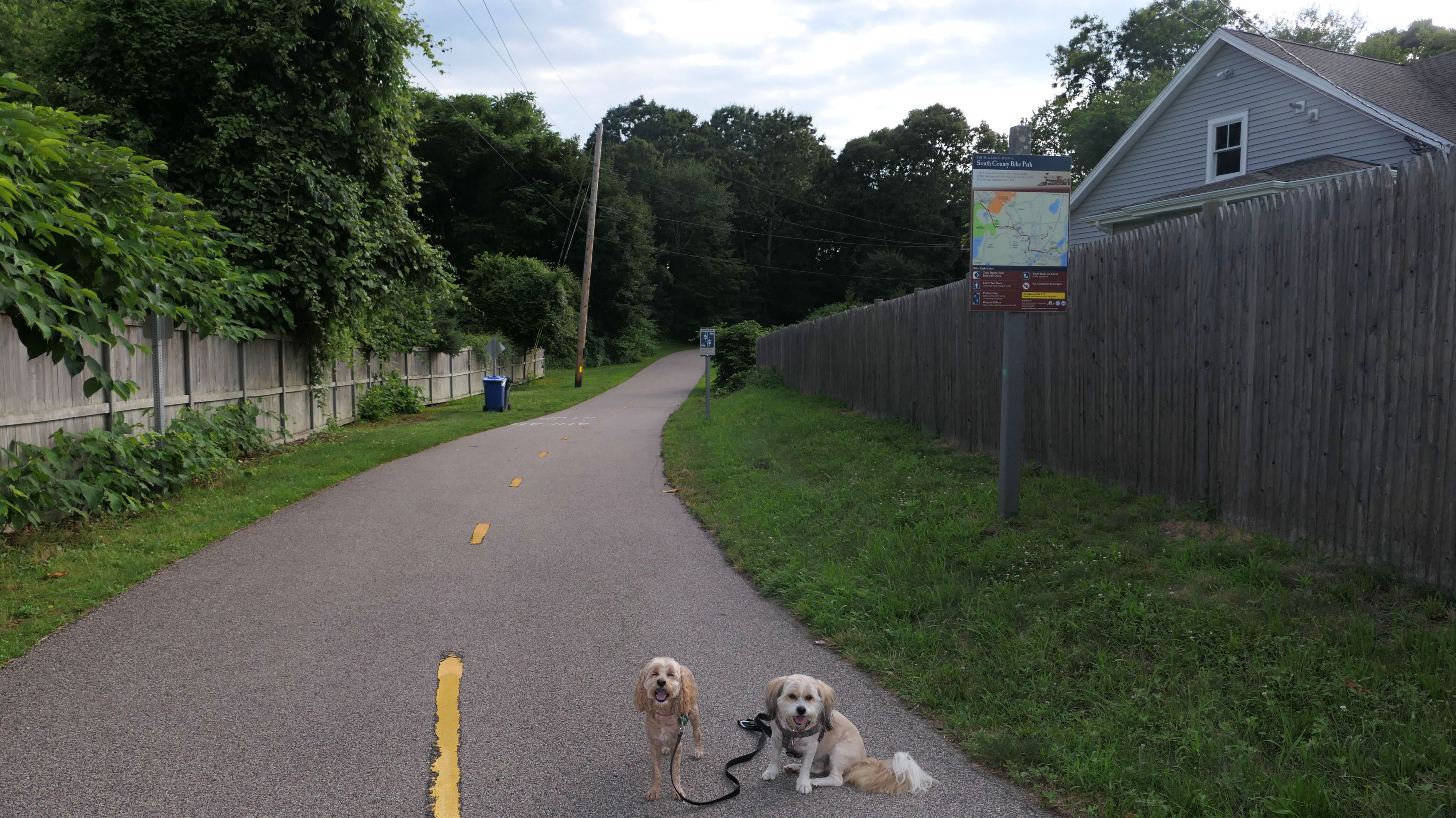
South County Bike Path
Date visited: 7/14/2023
Only the very eastern end of the bike path is in Narragansett, as most of the path is in South Kingstown. There is a parking area at Narragansett Elementary School, which also has access to the Canonchet Farm Trail, which leads to Narragansett Town Beach. That means it is possible to take a trail all the way from the The University of Rhode Island to the Narragansett Town Beach. There is a small dirt loop nature trail that is accessed from this portion of the trail as well.
More Images
Bass Rock Road Shoreline Access
Date visited: 8/20/2023
This is the first of three of these public waterfront access areas that we visited in Narragansett on this day. They are all within a half mile of each other on side streets off Ocean Road. They are also all very similar. There's no sandy beach, just rocks, and not much access to the actual water, without traversing some steep and slippery rocks. This one features a short, steep trail that brings you to the waterfront. This is the only one of the three that also has a trail along the shoreline, though it's not much of a trail. These places are also popular fishing areas. Unfortunately, a lot of trash is left behind, despite there being two large trash barrels at the entrance. I witnessed a group of people with fishing poles arriving bringing their Dunkin cups with them to the rocks. I doubt the cups will wind up in the trash barrels! Despite the trash, it's quite scenic and a nice place to sit on the rocks and enjoy the ocean view, or have a picnic. We headed up the road to Newton Avenue Watefront next.
More Images
Bass Rock Road Shoreline Access
Date visited: 6/19/2025
This is the second time we visited this rocky area along the shoreline. It's primarily a fishing spot, but it's a beautiful place for photos. We manuevered through the rocks to reach where the point we left off at the Newton Ave Shoreline Access Point six days earlier. The terrain here is more rugged that the Newton Avenue spot, so don't visit if you're not up for walking along various size rocks.
More Images
Newton Avenue Shoreline Access
Date visited: 8/20/2023
This is the second of the three public waterfront access areas that we visited on this day. Like Bass Rock, it also features a steep trail that leads down to the rocks on the shoreline. The rocks are easier to access here. In addtion to the people fishing, there were also groups of people sun-bathing here, and even another dog! I learned the hard way that despite the rocks looking easier to traverse, they can be slippery. Mandy wanted to go down to the water, and kind of pulled me along and I slipped and landed on my rear! Ultimately I was okay, and we made our way to Hazard Rock later in the day.
More Images
Newton Avenue Shoreline Access
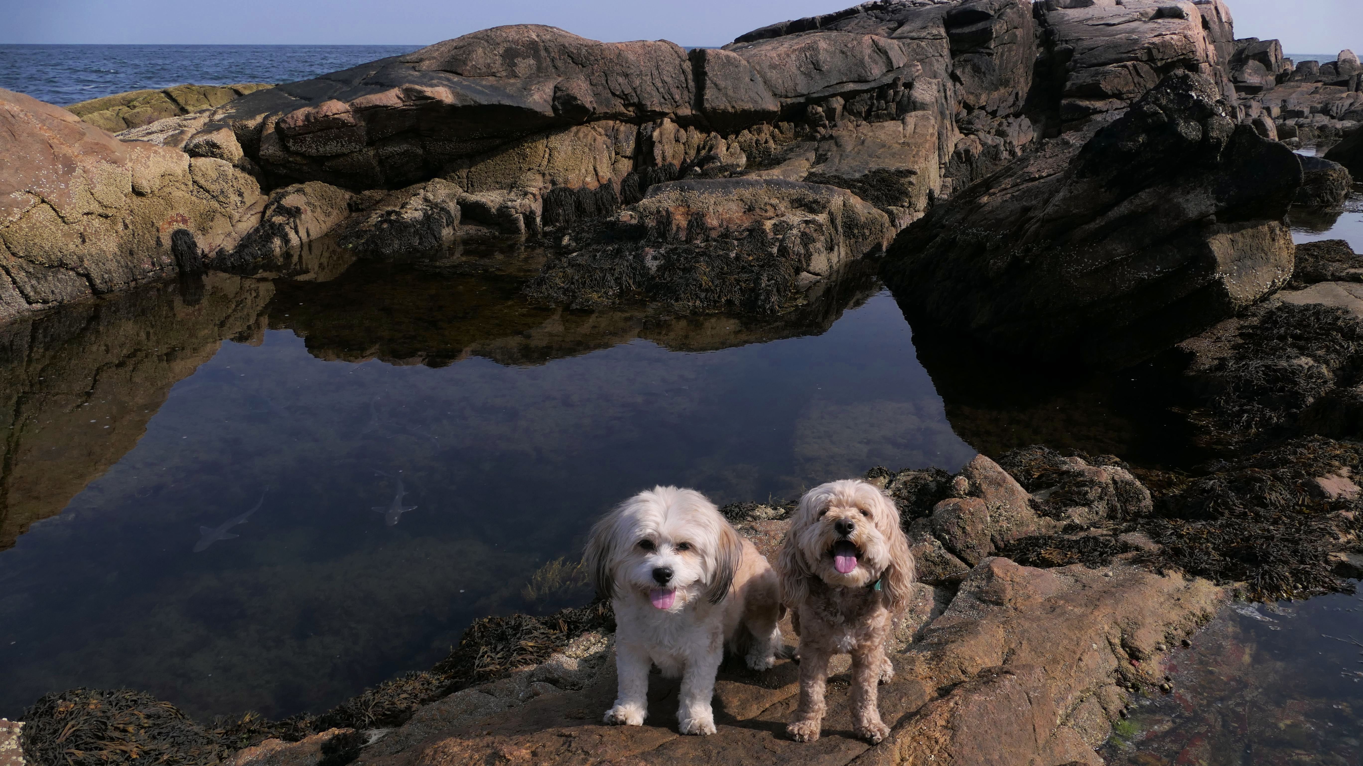
Date visited: 6/13/2025
This was our second visit to this spot. We cut the first visit short two years ago because I fell and had to bandage myself up. This time, I was more careful. We were able to head south and explore the rocks leading up to Bass Rock. While that was fun, the real story here is the small sharks we saw swimming in a tidal pool. They are most likely "squalidae", or better known as dogfish sharks. There's a video of them below! Mandy and Lexi also cooled off in a small tidal pool, but I made sure to check that there were no sharks first!
More Images
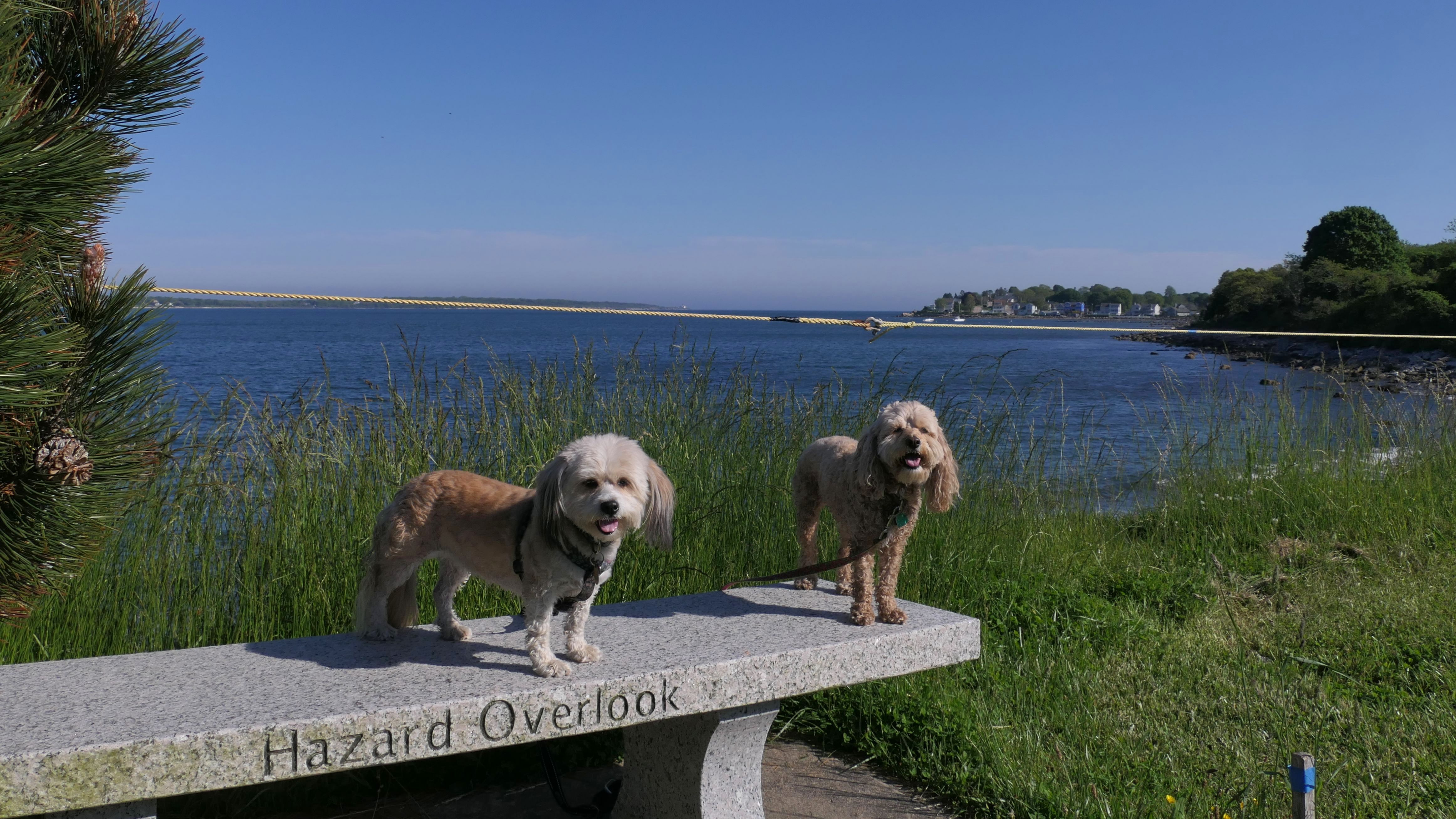
Hazard Rock Shoreline Access
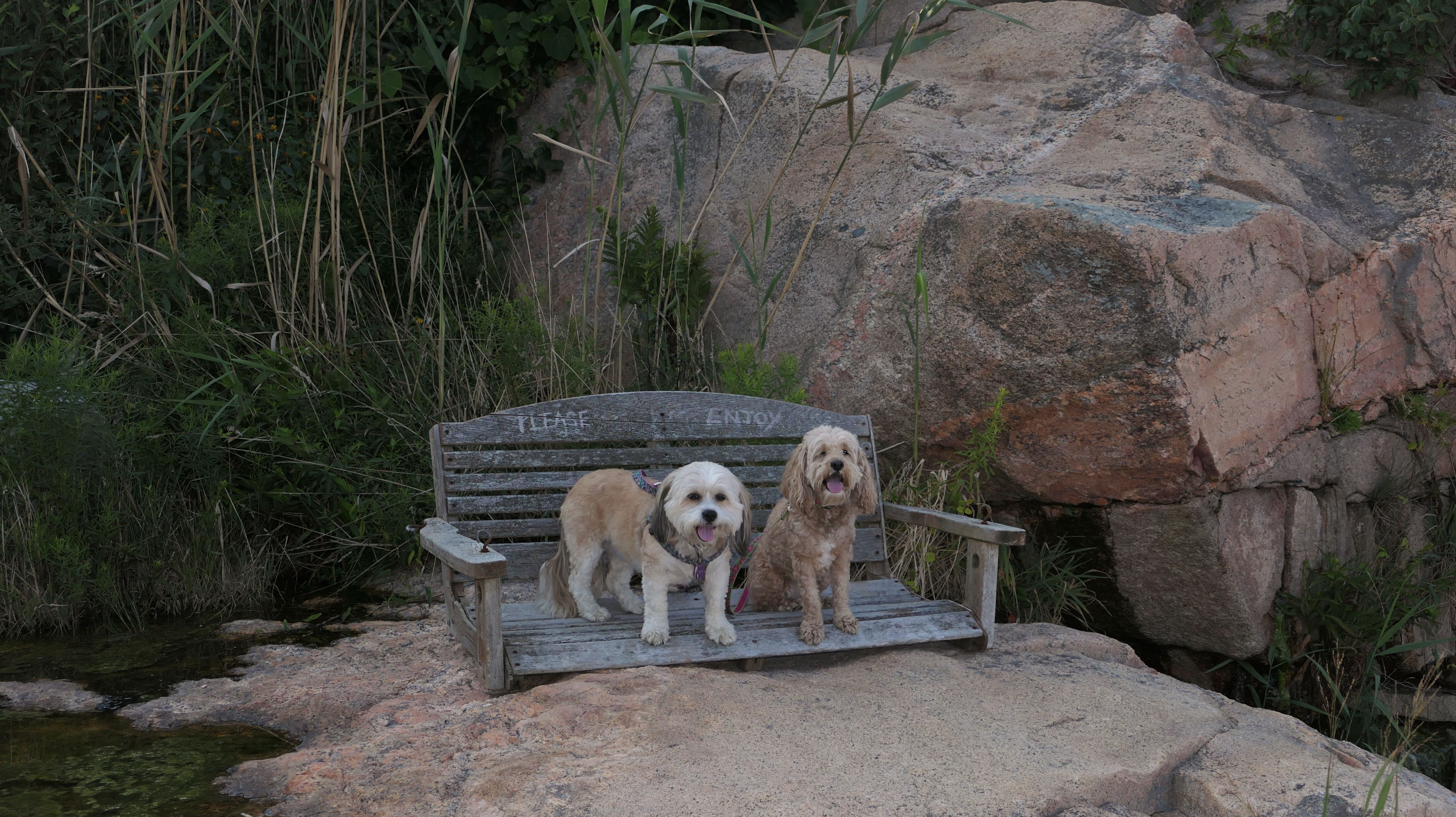
Date visited: 8/20/2023
This the third and final of these small public waterfront access areas we visited on this day. We had visited the nearby Bass Rock and Newton Avenue watefronts earlier in the day. This is pretty similar to the other two, with rocks looking over the scenic ocean vista. Actually, all three of these places are very much like the most excellent Black Point trail. It makes sense, since that place is also down Ocean Road, just south of these access points. (Black Point is much better, because there is an actual trail there). There's a weird bench with no legs here, sitting on the rocks with the words "Please Enjoy" carved into it. I'm not sure who would actually sit on this bench without legs. Maybe it was put here for the dogs! The rocks can be really dangerous at these places, but we kept to the safer areas, and took some nice photos before calling it a day. A seagull joined us for one of the photos. I named him Gus.
More Images
Hazard Rock Shoreline Access
Date visited: 7/16/2025
This is one of three rocky shoreline access points at the end of side streets off Ocean Road. We visited all three on the same day in 2023. We revisited the other two earlier this year, and finally revisited this one as well. We were able to explore a bit more than last time. The rocks here can be tricky to navigate. Heading north along the rocks, we turned around at the chasm separating this place from the Ocean Road Access Point we visited last December. Heading south along the rocks, we didn't make it much further than last time. The terrain is too tricky to make it all the way to the Newton Avenue Access Point. We actually covered about 1.3 miles here total, almost all of it climbing on rocks. Mandy and Lexi look pretty messy in some of the photos. They actually went into a mucky lake at our previous stop. We found a tidal pool here where they were able to clean off and cool off. This is a fun place to explore if you're up for climbing over rocks!

More Images
Succotash Marsh Wildlife Management Area
Date visited: 10/4/2023
The pictures below are from the portion of the marsh in the Jerusalem section of Narragansett. You can read more about the marsh and see more photos on the South Kingstown page.
Succotash Marsh Wildlife Management Area
Date visited: 6/25/2025
Some of the Dog Beach extends south into Narragansett. These are pictures from that section. Read more about this visit to the Dog Beach on the South Kingstown page.
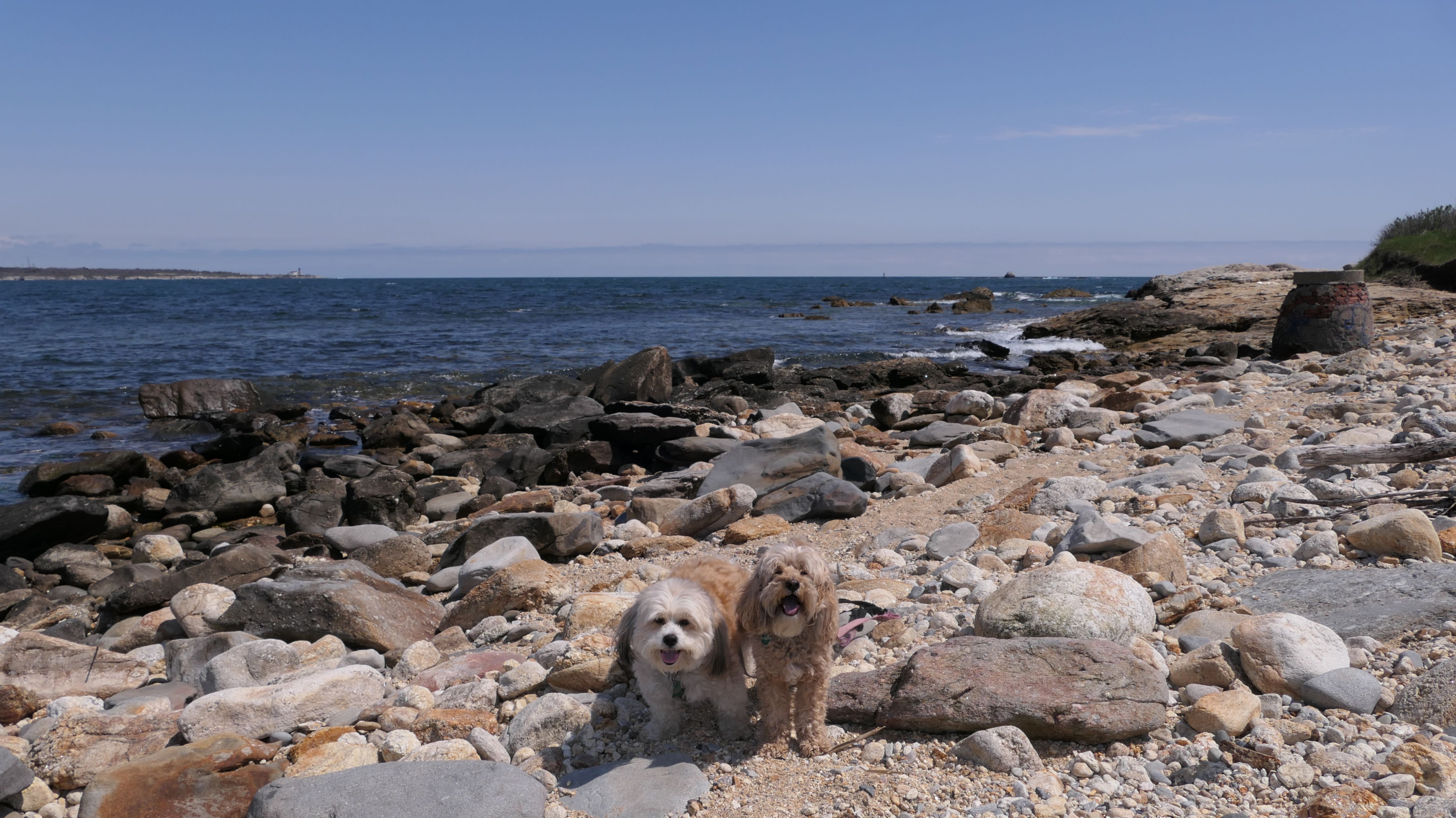
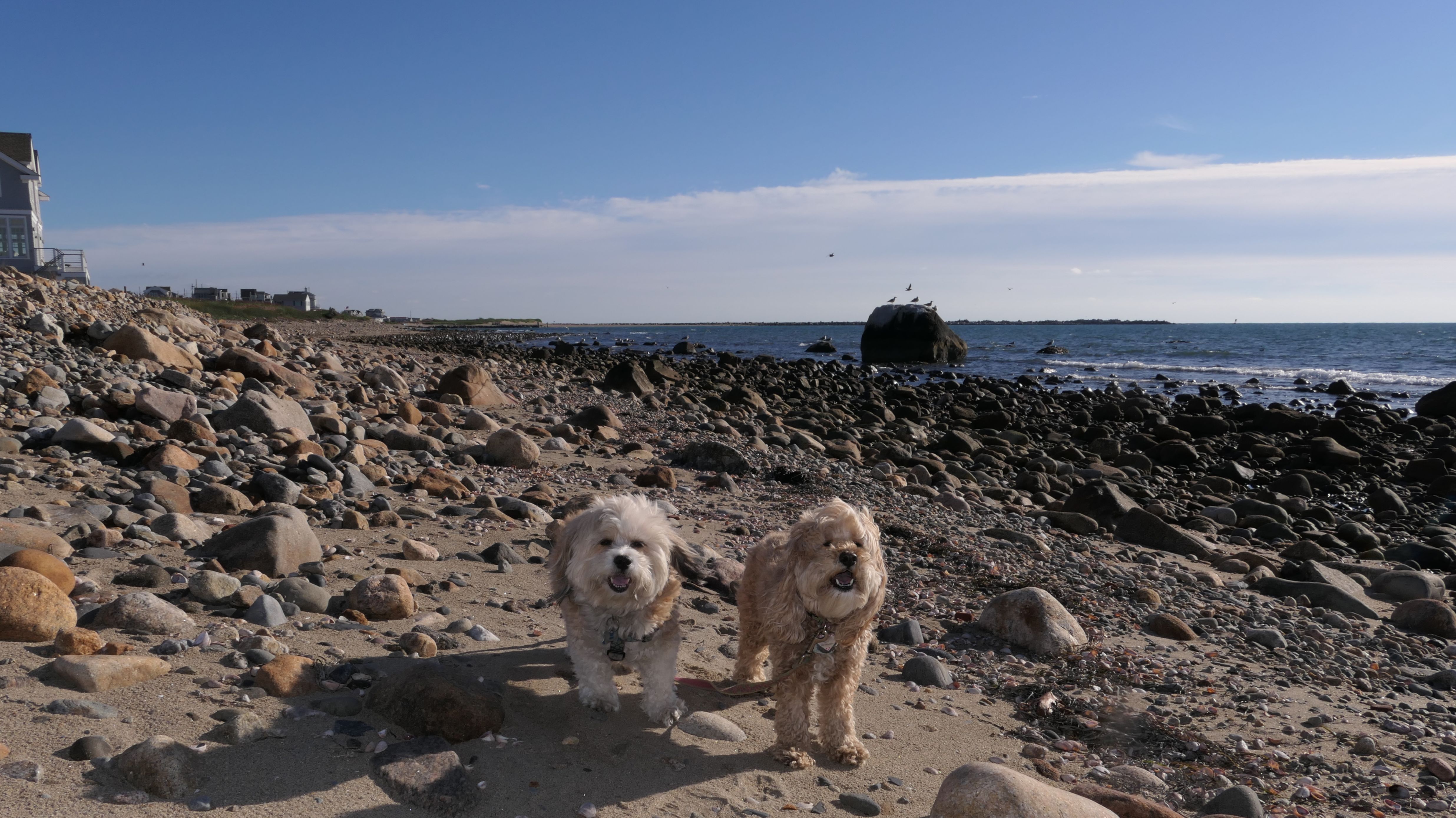
Punk Rock Beach
Date visited: 11/16/2023
I wasn't really sure this was a real place. There's not a lot of information about this beach on the net. I did find a few write-ups, one called this beach a "small rocky area with a punk rock vibe". One review on Google says "Rhode Island's top punk only surf spot. On the beach the airwaves rock with everything from the cramps to the chats while the water is full of even harder rocks"...okay. You can see why I wasn't sure this place was real! I guess this is a popular area with surfers. The actual beach has no signage at all. I parked at the gravel lot on the corner of Old Ocean Road and 5th street, but the pathway to the actual beach is not obvious. There's a short trail on the left side of Aunt Carrie's restaurant that leads to the beach. There is not much sand here, it's mostly rocks! It's actually quite scenic, and a nice spot to listen to the waves and smell the ocean air. We walked the length of the beach and back, a total of eight tenths of a mile, over lose stones. As we were headed back to the access path, I slipped on the lose stones and fell. I was fine, but my camera wasn't. I wear the camera on my neck and the lens must of hit one of the stones as I fell. There's a huge scratch on the lens. The camera is pretty much useless at this point. (I actually bought the protection plan, and I also have a spare at home, but I was without my camera for the rest of the day). So enjoy these photos, they are the last ones this camera will ever take.
More Images
Punk Rock Beach
Date visited: 8/15/2025
We returned to this stony beach on a nice summer afternoon while we were exploring the nearby Public Shoreline Access Points. There was a lot of reddish seaweed built up along the shore on the southern section of the beach, but Mandy and Lexi were able to cool off in the water at the north end. We entered through the short path found off Nichols Avenue, and exited via one of the paths that leads to the rear of Aunt Carrie's. This path featured high brush on either side, but wasn't overgrown to the point where it obstructed the walkway.
More Images
Punk Rock Beach
Date visited: 6/25/2026
This was an after work walk through the neighborhood around Point Judith Lighthouse. We parked on the road near the intersection of Point Judith Road and Ocean Road, and headed down the path behind Aunt Carrie's that leads to this beach. There was less sand than our previous visits, but Mandy and Lexi were able to find a nice spot to cool off. We left via the path that leads to Nichols Avenue, and then explored some of the access points along Calef Avenue and Rose Nulman Park, walking about three miles total.
More Images


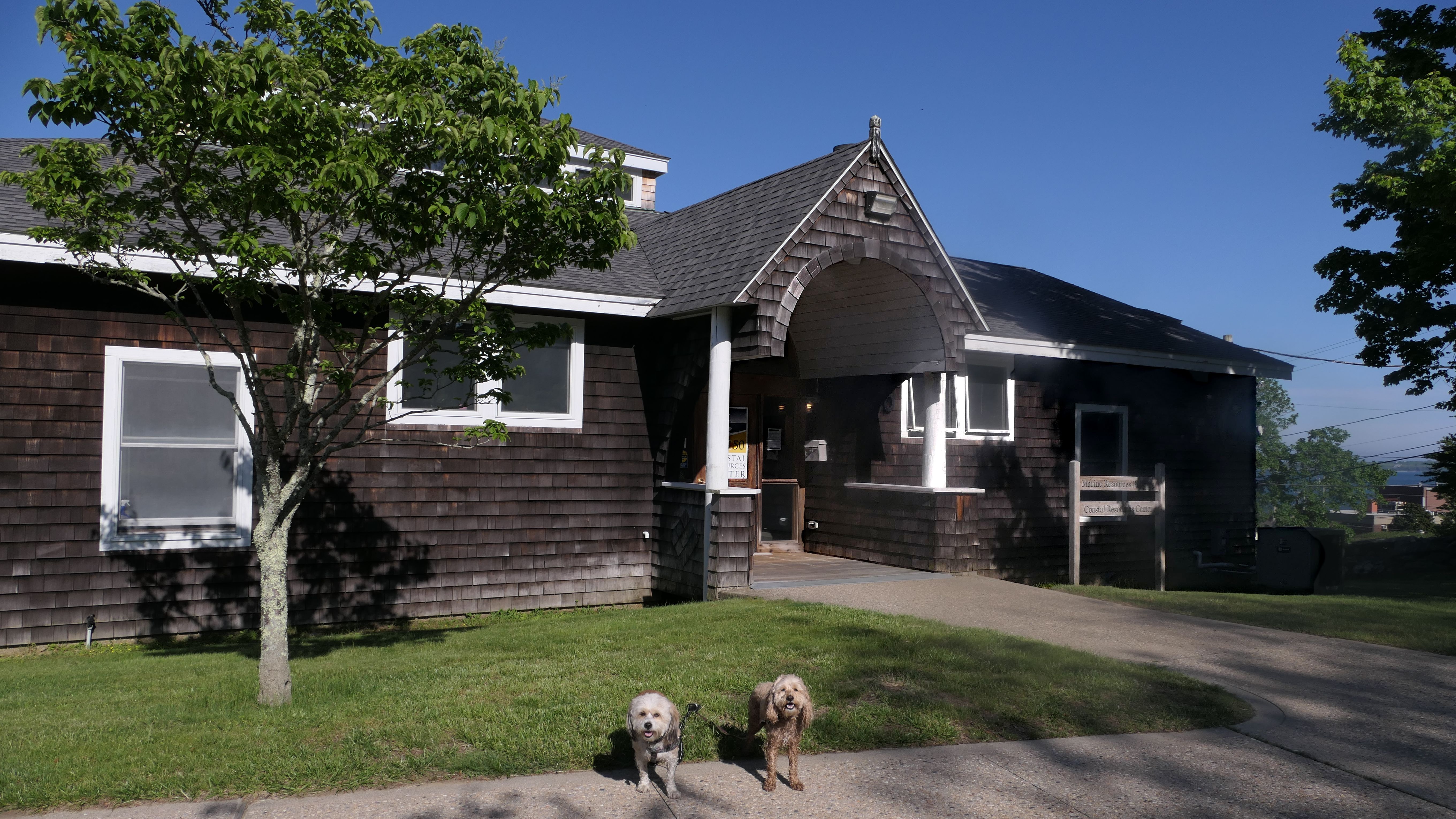
Rose Nulman Park
Date visited: 2/19/2024
We would have visited this park sooner, but it had been closed since December of 2021, before we started regularly visiting Rhode Island. Evidently, the trail to the shoreline has been open this whole time, but the park area was closed because the cliff has been eroding away and is unsafe. The park is privately owned, and the owners petitioned the state for $2 million of funds from the infrastructure plan to fix the park, but were denied. At some point within the last few months, the "closed" signs were taken down anyway. There's not a lot to do here at any rate. There are some benches that provide views of the ocean, but access is to the shore is only allowed from the trail off Ocean Avenue. The Point Judith Lighthouse is next to the park, but you can't get that close. Access is prohibited, because the lighthouse is on Coast Guard property. We used the muddy path to get to the rocky shoreline. It's probably a good place to go fishing, but not a great place for a walk. In order to get some additional steps, we walked down Ocean Avenue to some additional Shoreline Access Points.
More Images
Rose Nulman Park
Date visited: 5/24/2024
Since our first visit here was on a cold February day, we came back on a warm day in late May. We took the trail from Ocean Avenue to the rocky shoreline first. Then we made our way to the park section, where Mandy & Lexi were able to run around in the grassy area a bit.
More Images

Rose Nulman Park
Date visited: 7/19/2025
This was a walk down the path that leads to the rocky shoreline. We headed north and walked as far as we could until it got too rocky. After this, we headed to the area in front of the lighthouse.
More Images
Rose Nulman Park
Date visited: 6/25/2026
We stopped here during our Point Judith neighborhood walk. We walked down the path to the rocky shoreline, and also to the park area where a group of bikers were taking a break. There's nothing new and exciting here, as we've been here a few times before, but it was a nice walk that also included stops at some of the access points along Calef Avenue and Punk Rock Beach.

More Images

Point Judith Shoreline Access
Date visited: 2/19/2024
There are three different shoreline access points at the end of short side roads off Ocean Avenue - on Pilgrim Ave, Louise Avenue, and Conant Avenue. There are a few parking spots at the Pilgrim Avenue and Conant Avenue access points, but we walked here from Rose Nulman Park. There's not much to do here, as the shoreline is too rocky to be walkable. The spot at the end of Conant Avenue is the best of the three. There is a bench, and some steep stone steps that bring you down to the water, where the waves rip against the rocks. The access point at the end of Louise Avenue is just a short walk between two different yards. You wouldn't know it was public access if not for the sign. These are probably great spots for fishing, and photos, but not much else. There is a trail off of nearby Nichols Avenue that leads out to Punk Rock Beach, but we didn't take any pictures from there since we already took a bunch there on our previous visit to Narragansett.
Point Judith Shoreline Access
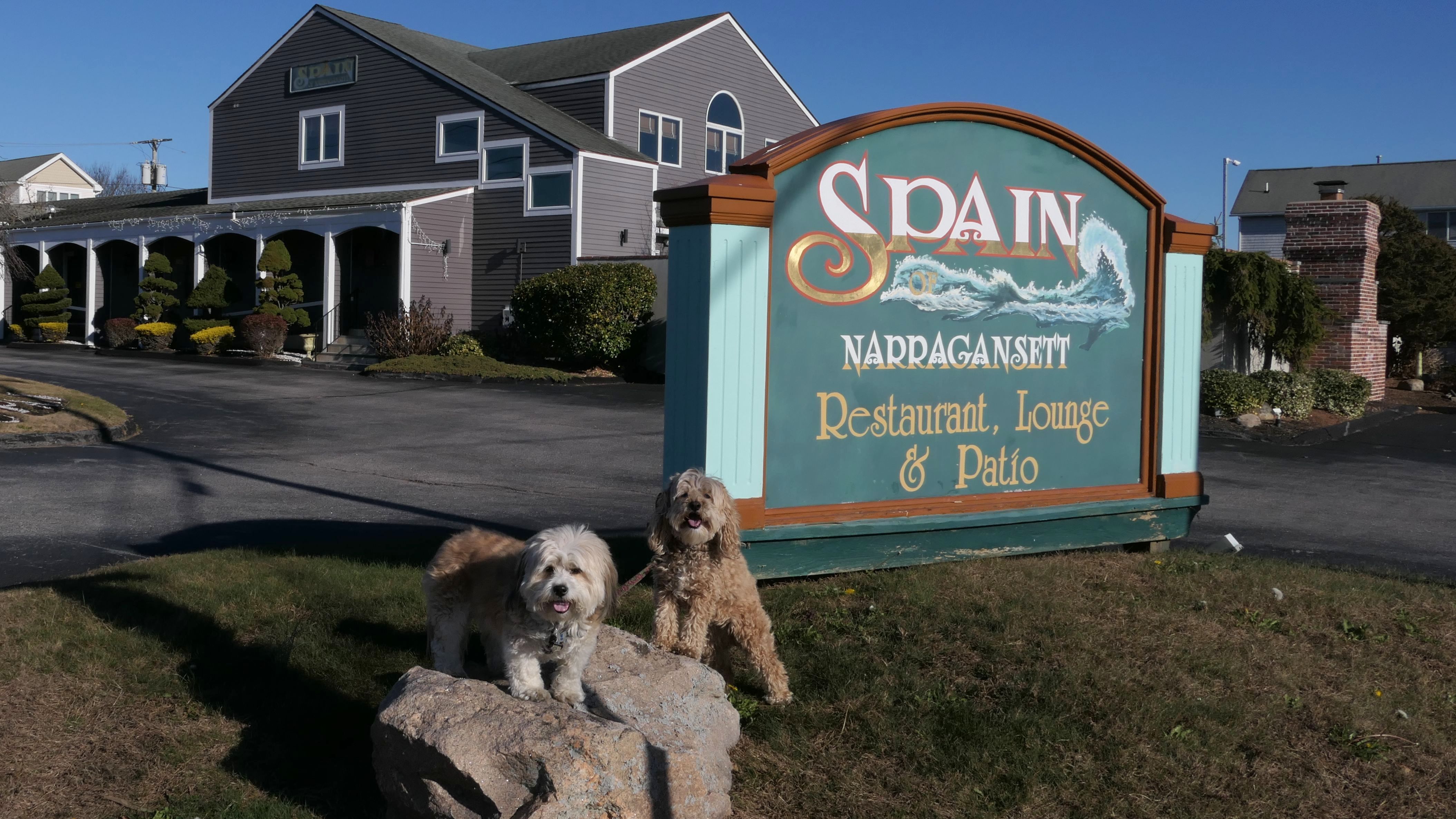
Date visited: 12/2/2024
We went to two shoreline access points on this day. These access points are different from the ones we visited back in February. We parked near Iggy's and walked here via Ocean Road. The first of the two is just north of Punk Rock Beach, and is very similar to that spot with all the small stones. It can be accessed from 2nd Street, but actually can be accessed from 1st or 3rd street as well. The terrain was too rough for us to follow the shoreline to the next access point, so we walked on the street instead, stopping briefly to take a photo at the Spain restaurant. The 2nd access point is off High Street. We had to climb down some slippery rocks to get close to the shoreline. This access point is just south of the rocky section of Scarborough South State Beach. After making our way through the rocks, we continued our walk around the neighborhood, before heading back to Iggy's where we parked and got lunch.
More Images
Point Judith Shoreline Access
Date visited: 8/15/2025
These are the access points along the rocky shoreline found at the end of side streets off of Ocean Road, between Rose Nulman Park and Scarborough Beach South. There's roughly five of them, at the end of Pilgrim Avenue, Louise Avenue, Conant Avenue, 2nd Street and High Street, although there are multiple ways to access some of them. The terrain is too rough to really walk along the rocks, but at a few of them Mandy and Lexi were able to get down to the water. We've visited all of these before, during two separate trips, but both of those trips were in the winter time. It's always nicer to visit the shoreline in the summer time! We parked near Iggy's Chowder house again, and walked through the local neighborhood to reach these access points. In addition to the access points, our walk also included Punk Rock Beach, located in the same area. We actually managed to walk four miles during this adventure, despite all the access points being less than a mile apart total.
More Images
Point Judith Shoreline Access
Date visited: 6/25/2026
This was part of our Point Judith neighborhood walk that also included Punk Rock Beach and Rose Nulman Park. These public access points are along Calef Avenue, and includes spots at the end of Conant Avenue, Louise Avenue and Pilgrim Avenue. There's no real access to the water without climbing down steep rock piles, but there are some nice views.

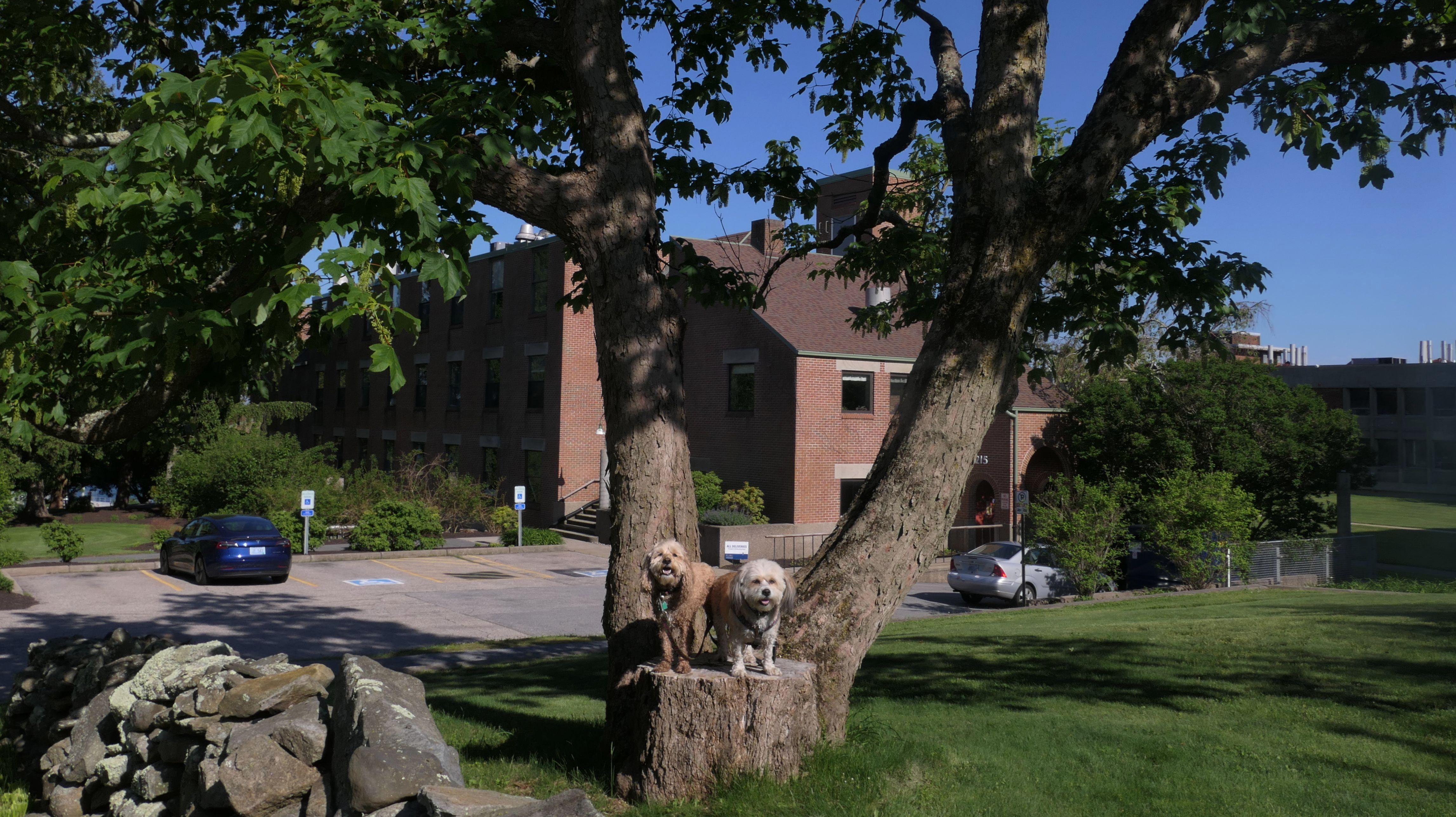
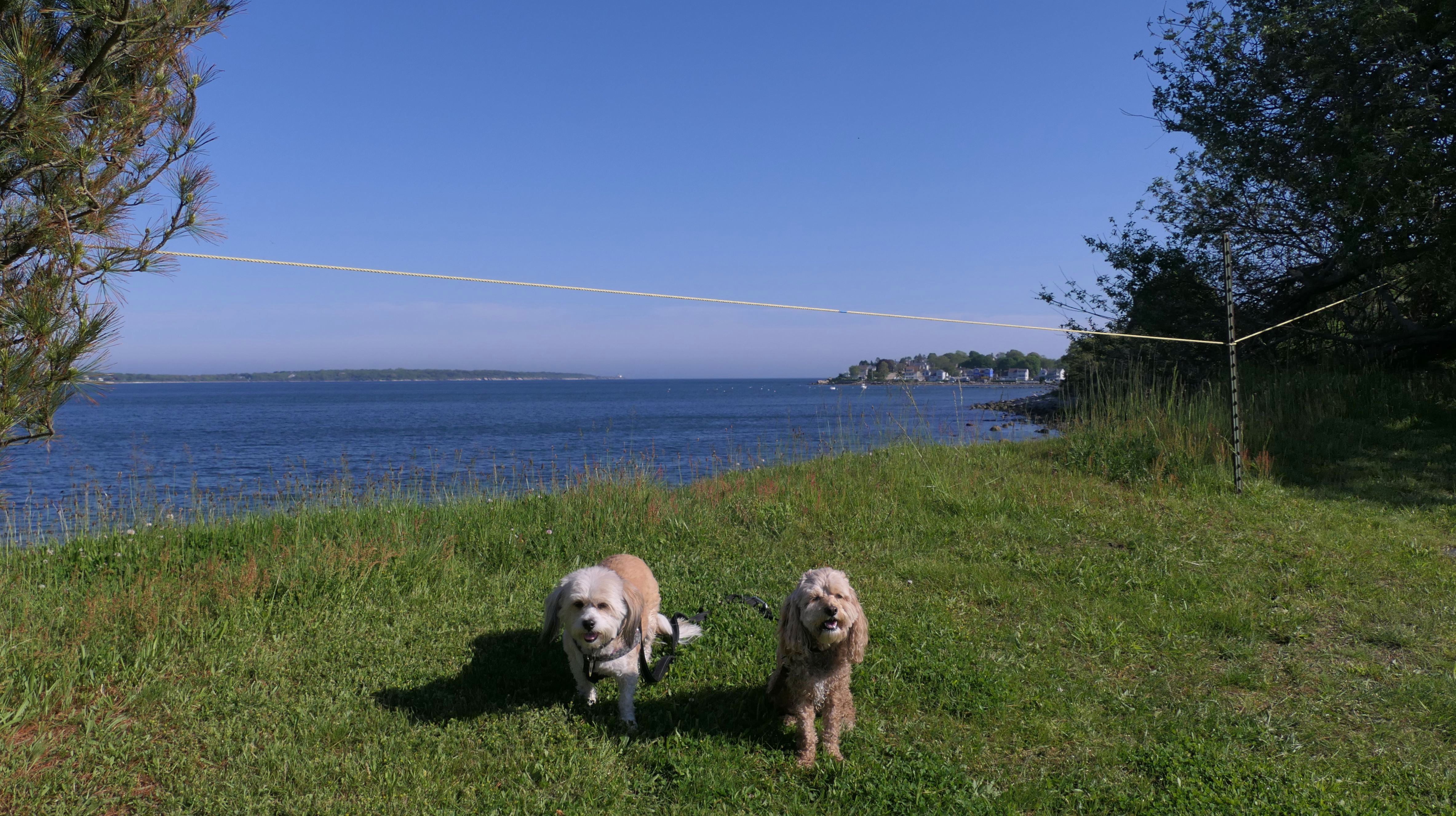
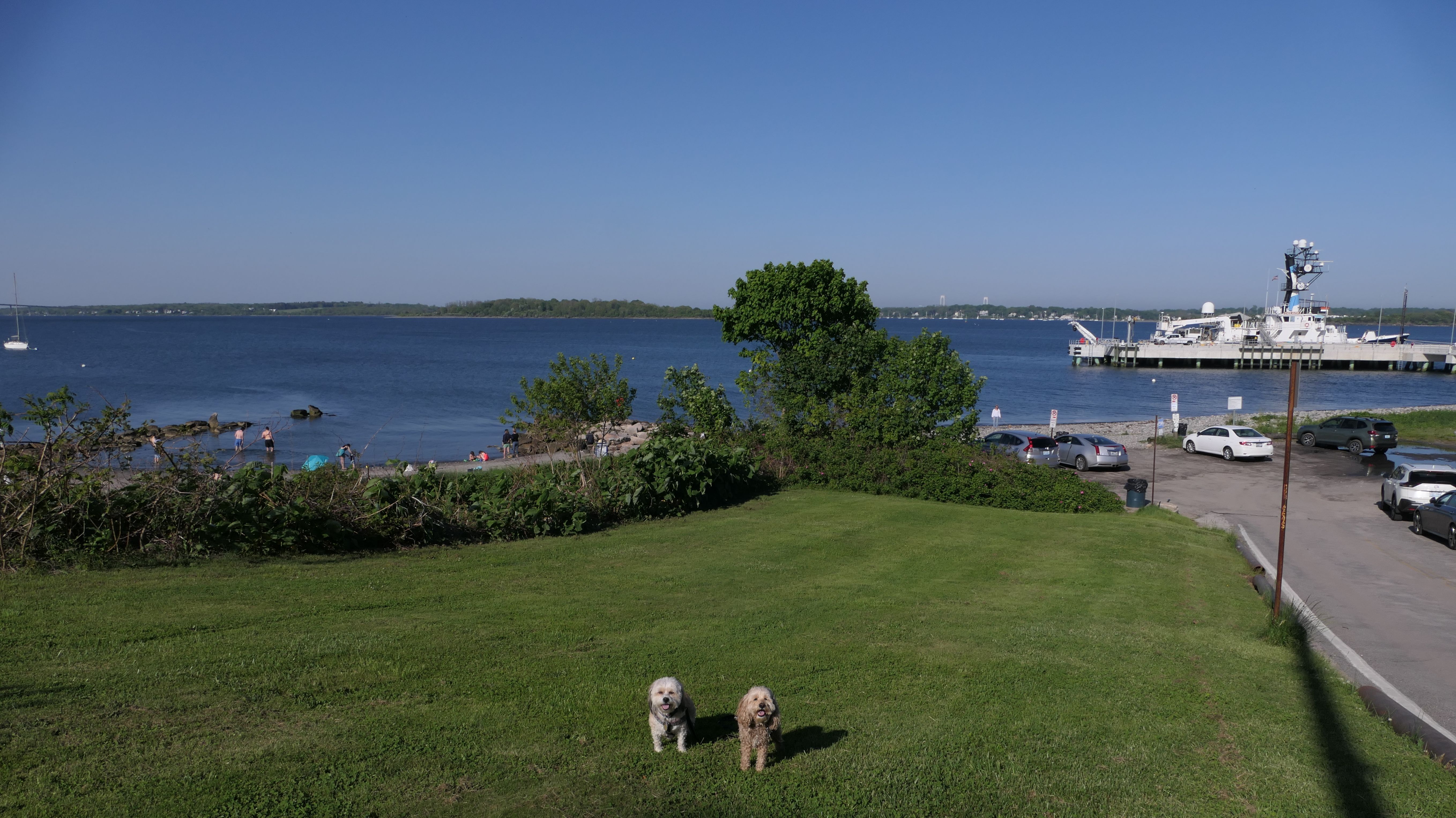
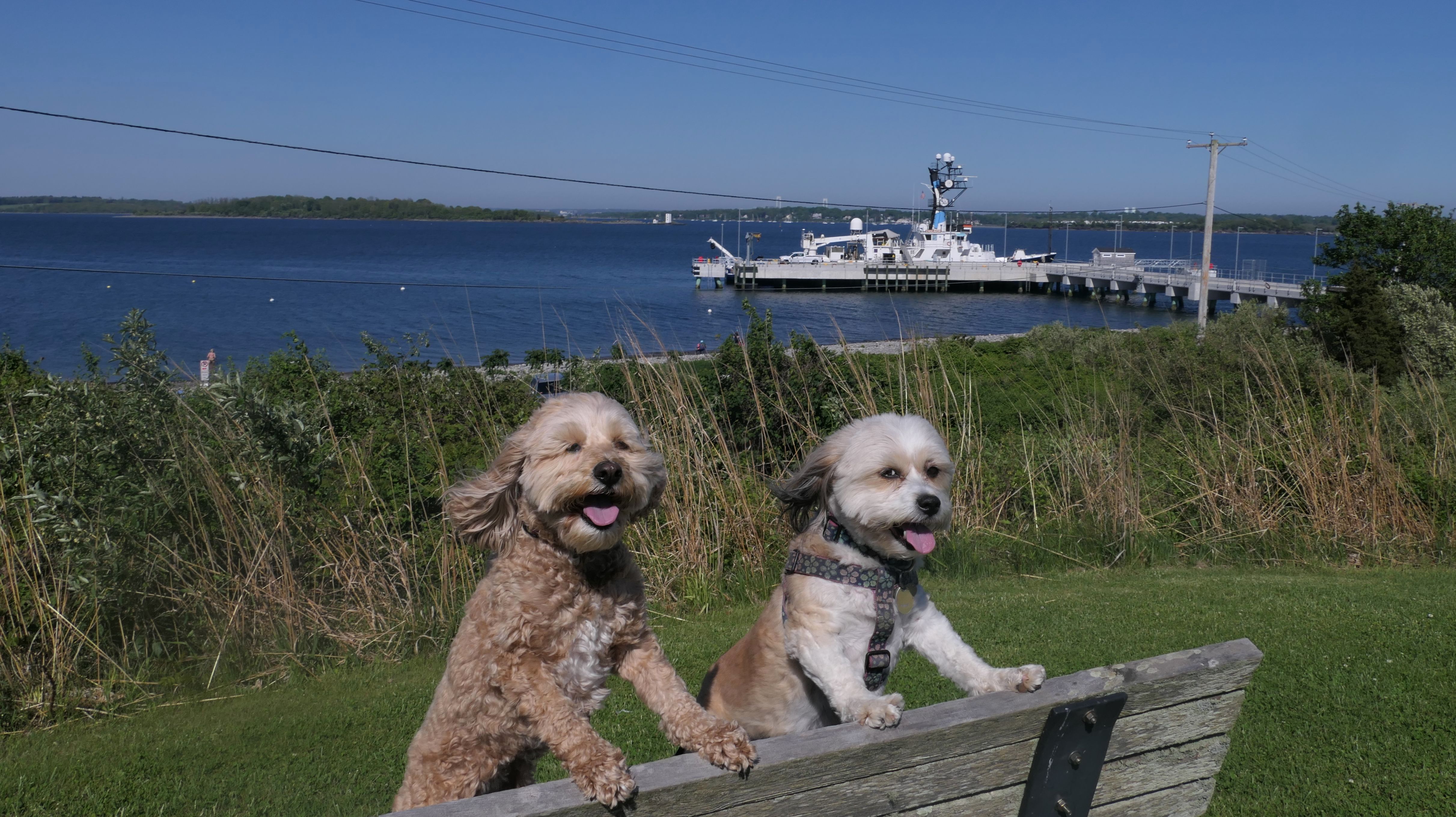
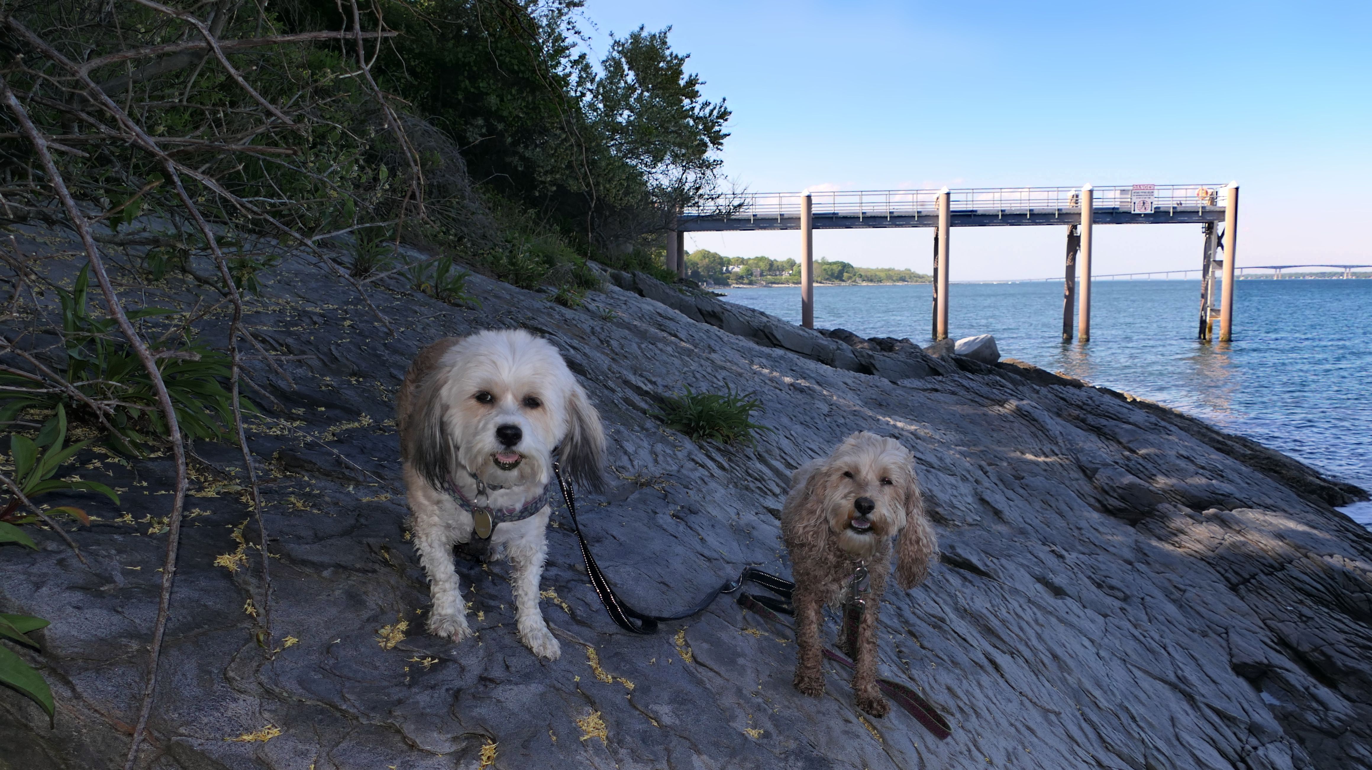
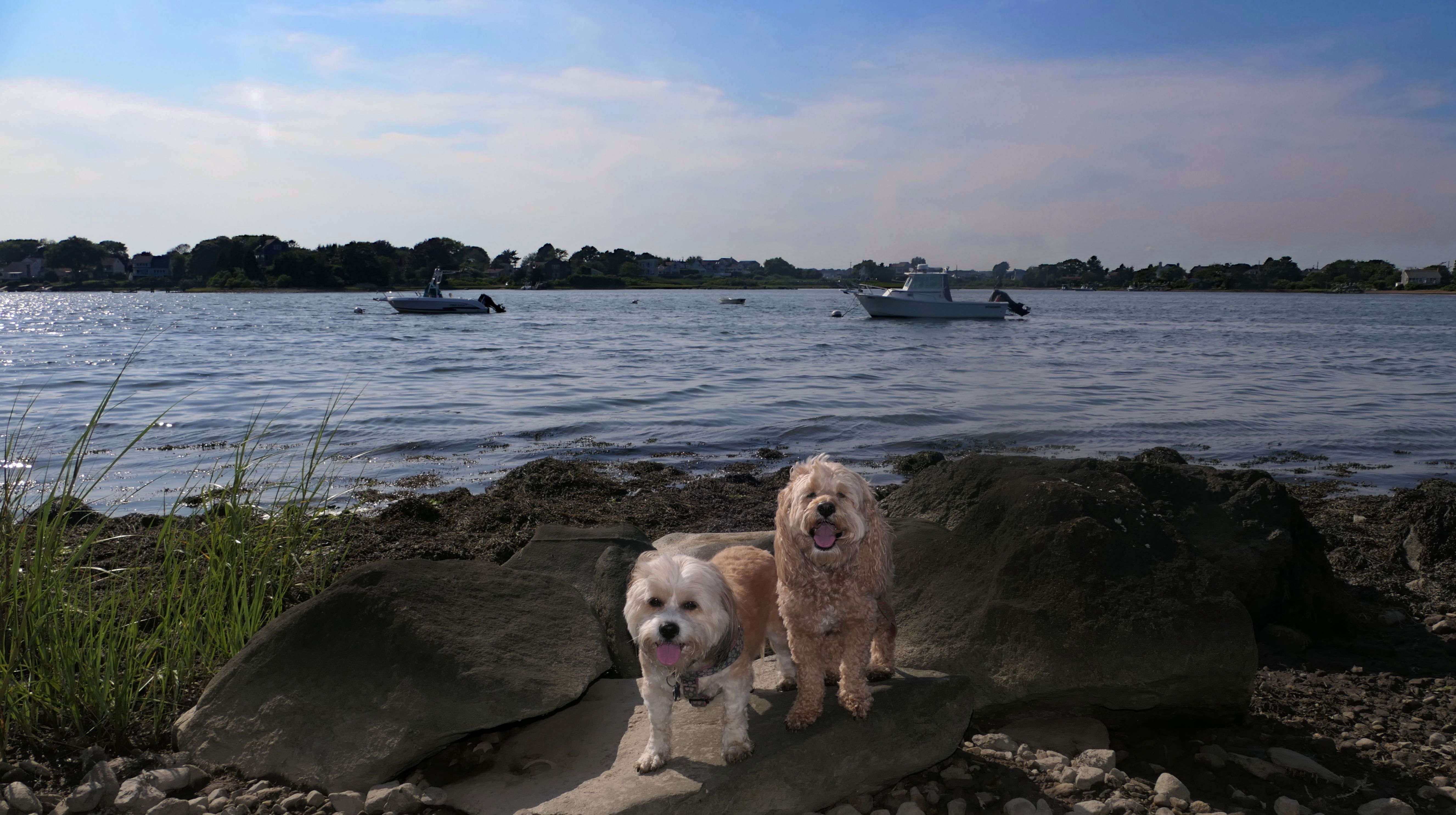
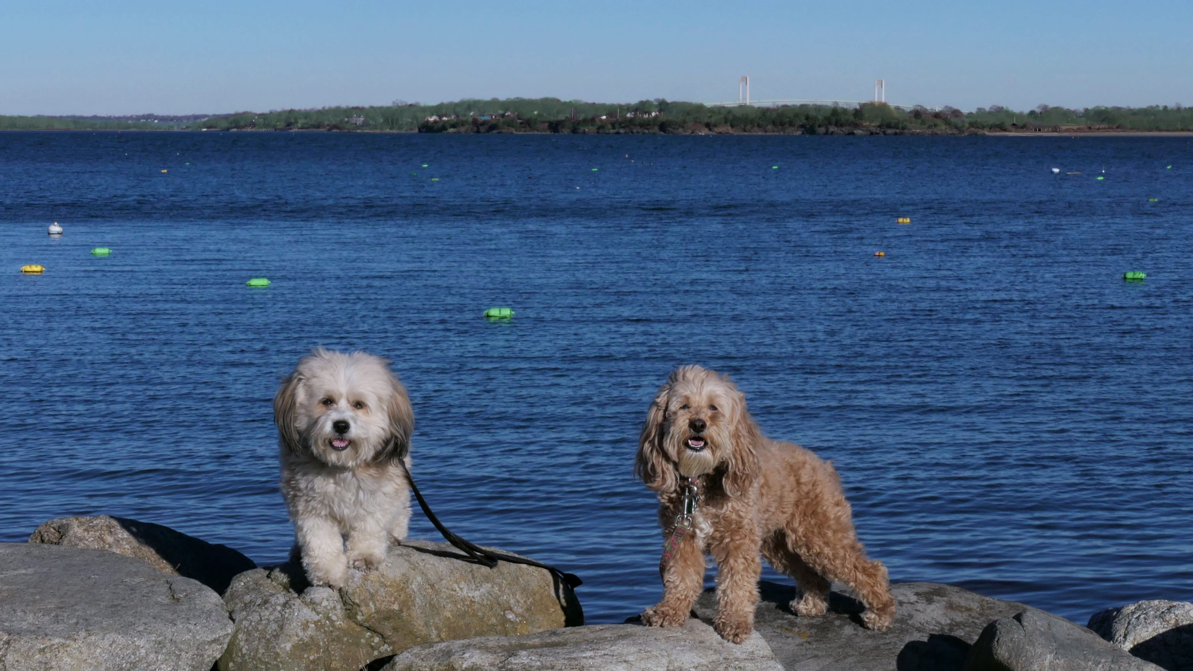
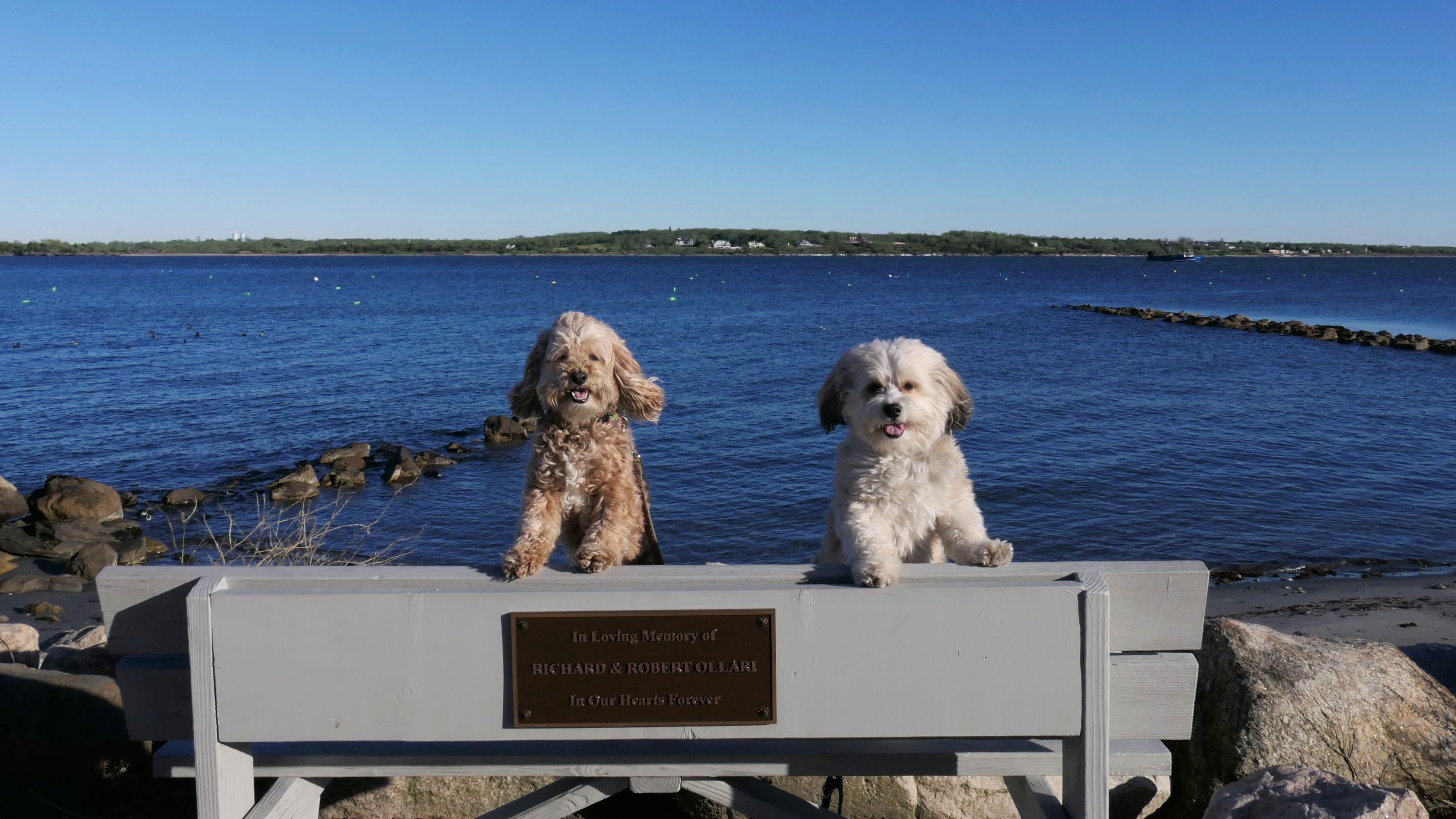
URI Narragansett Bay Campus
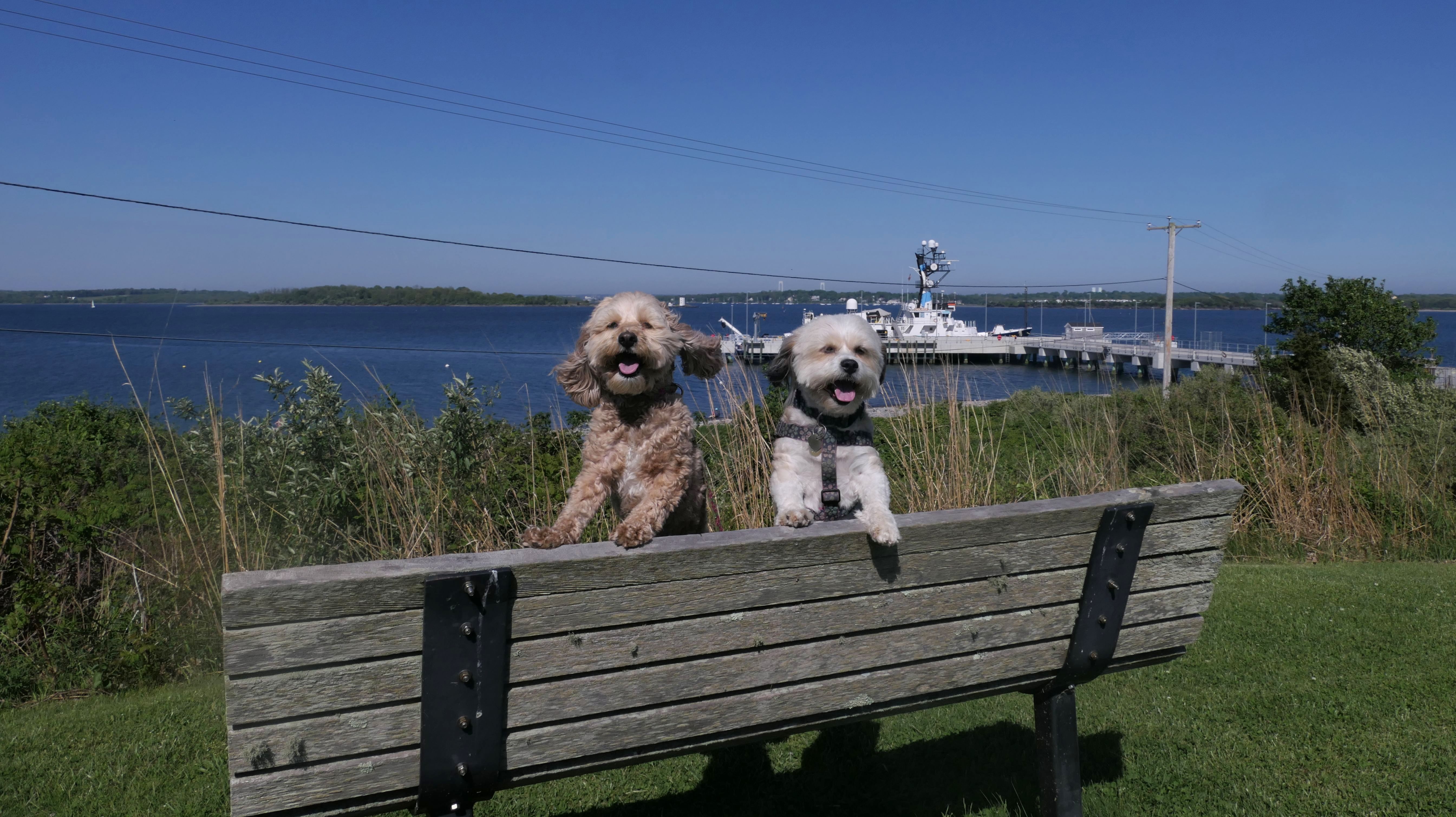
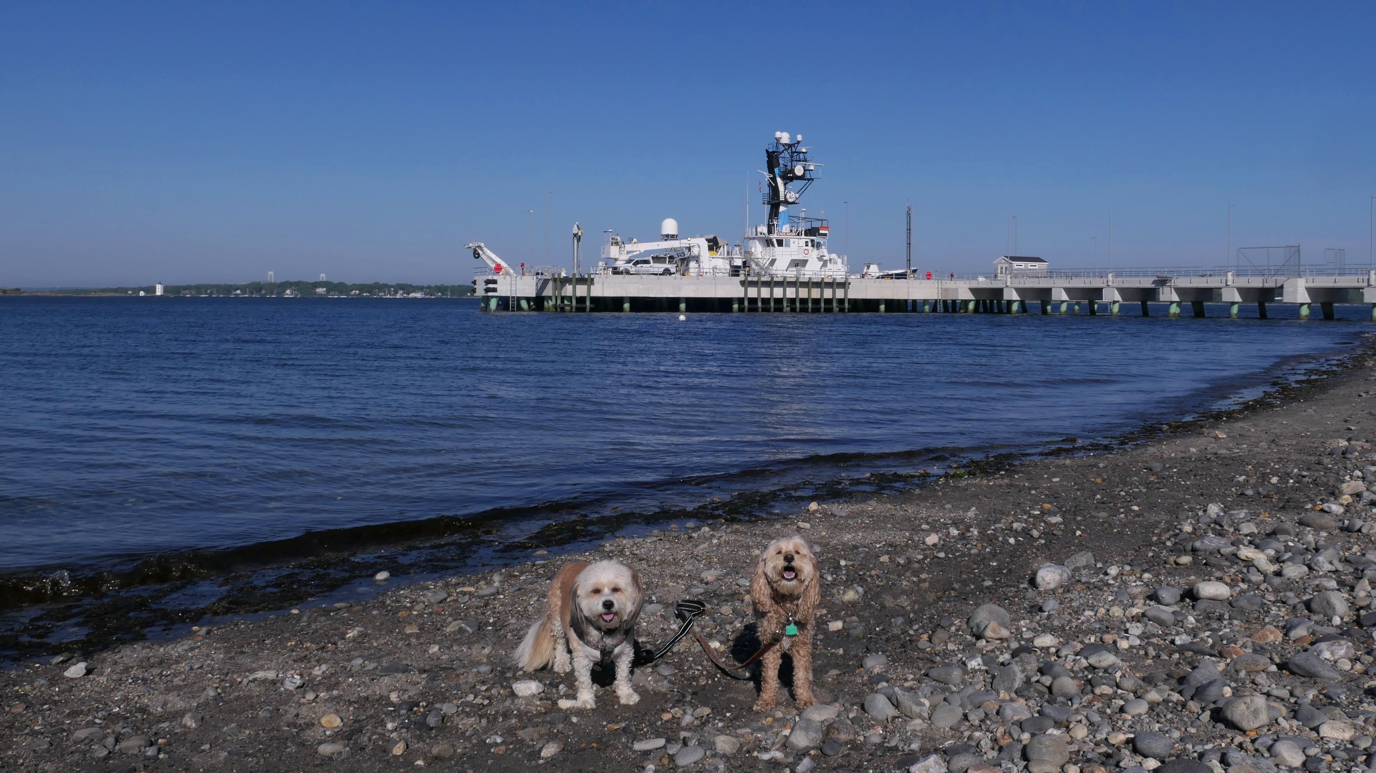
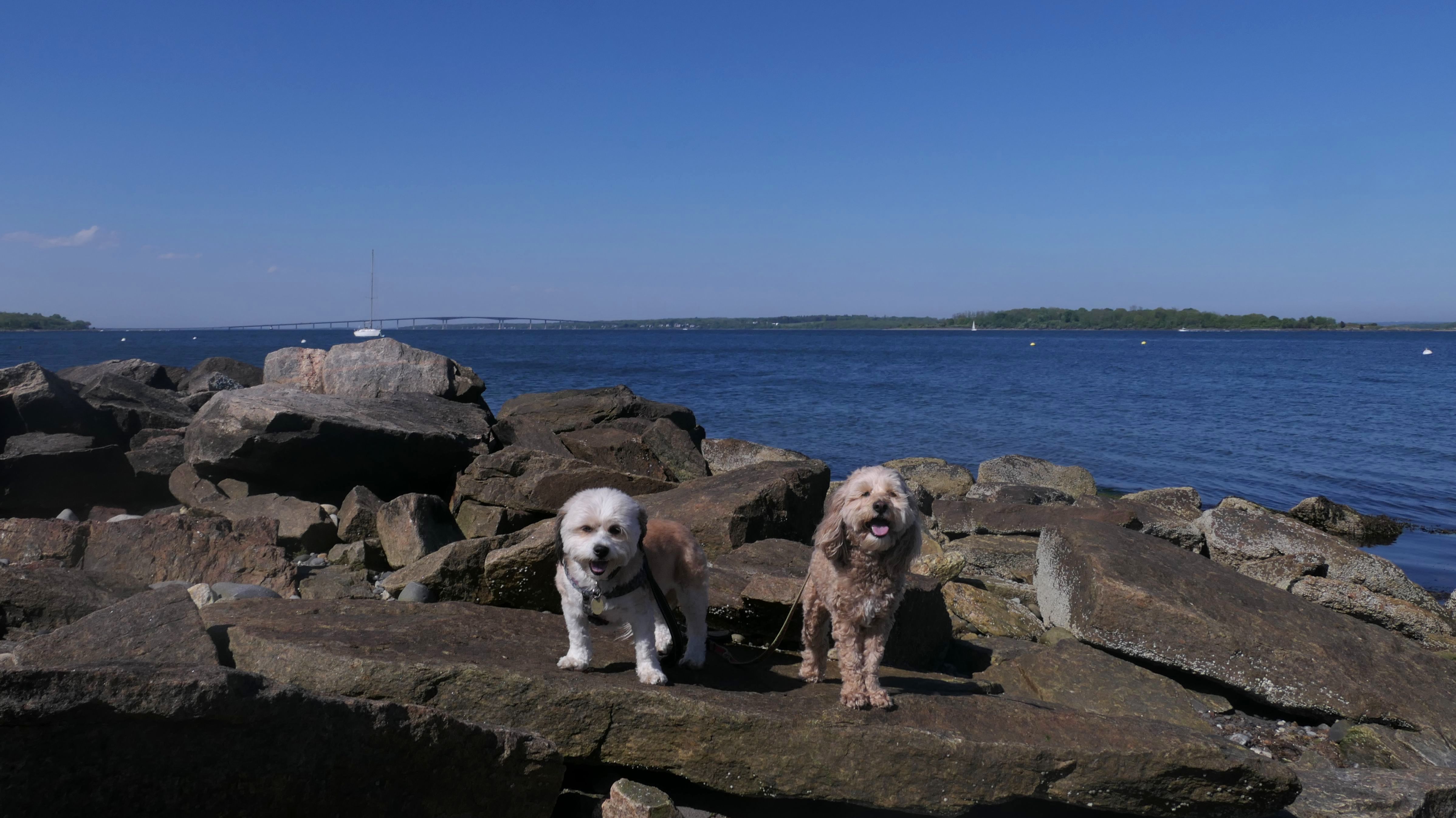
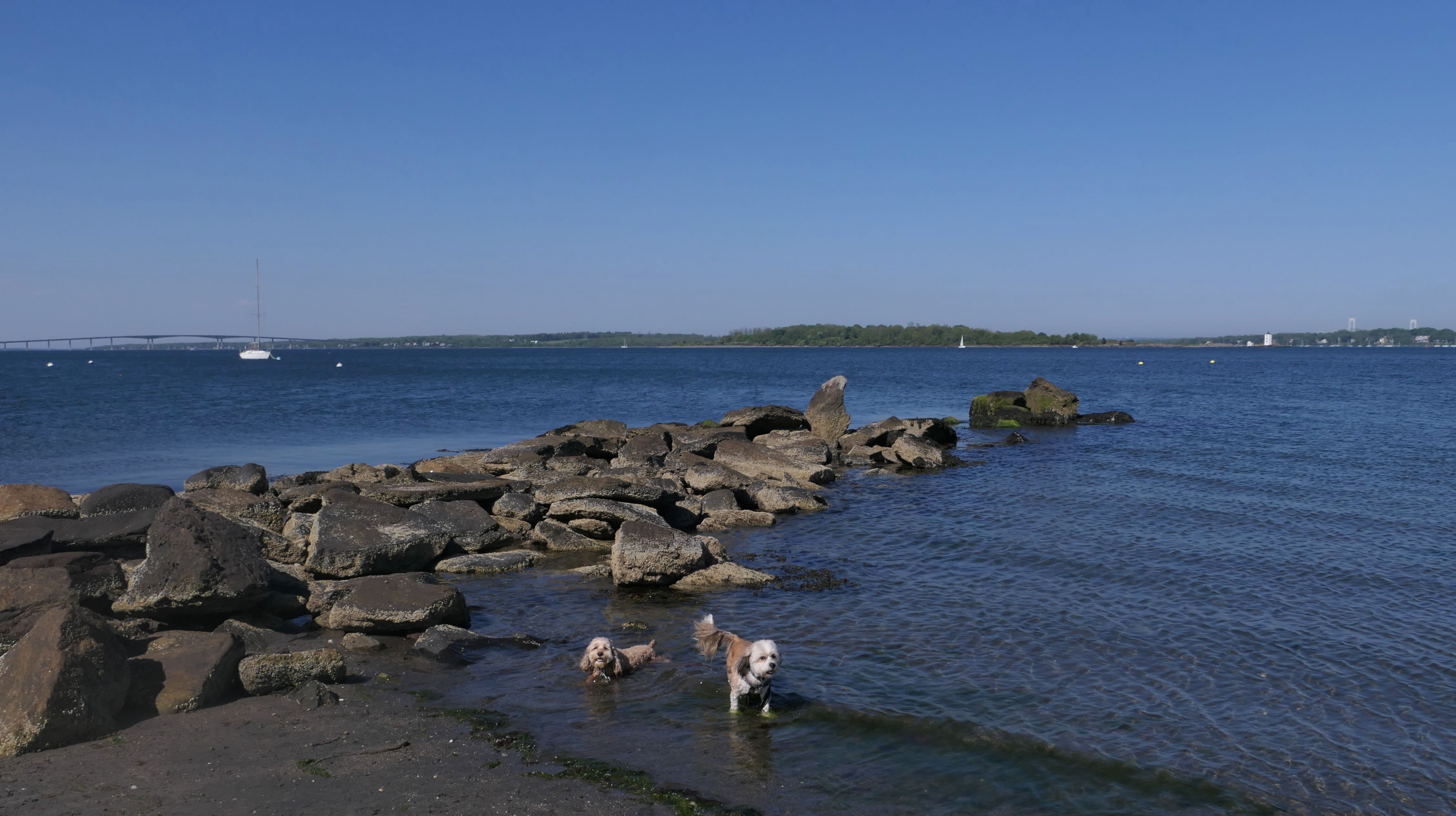
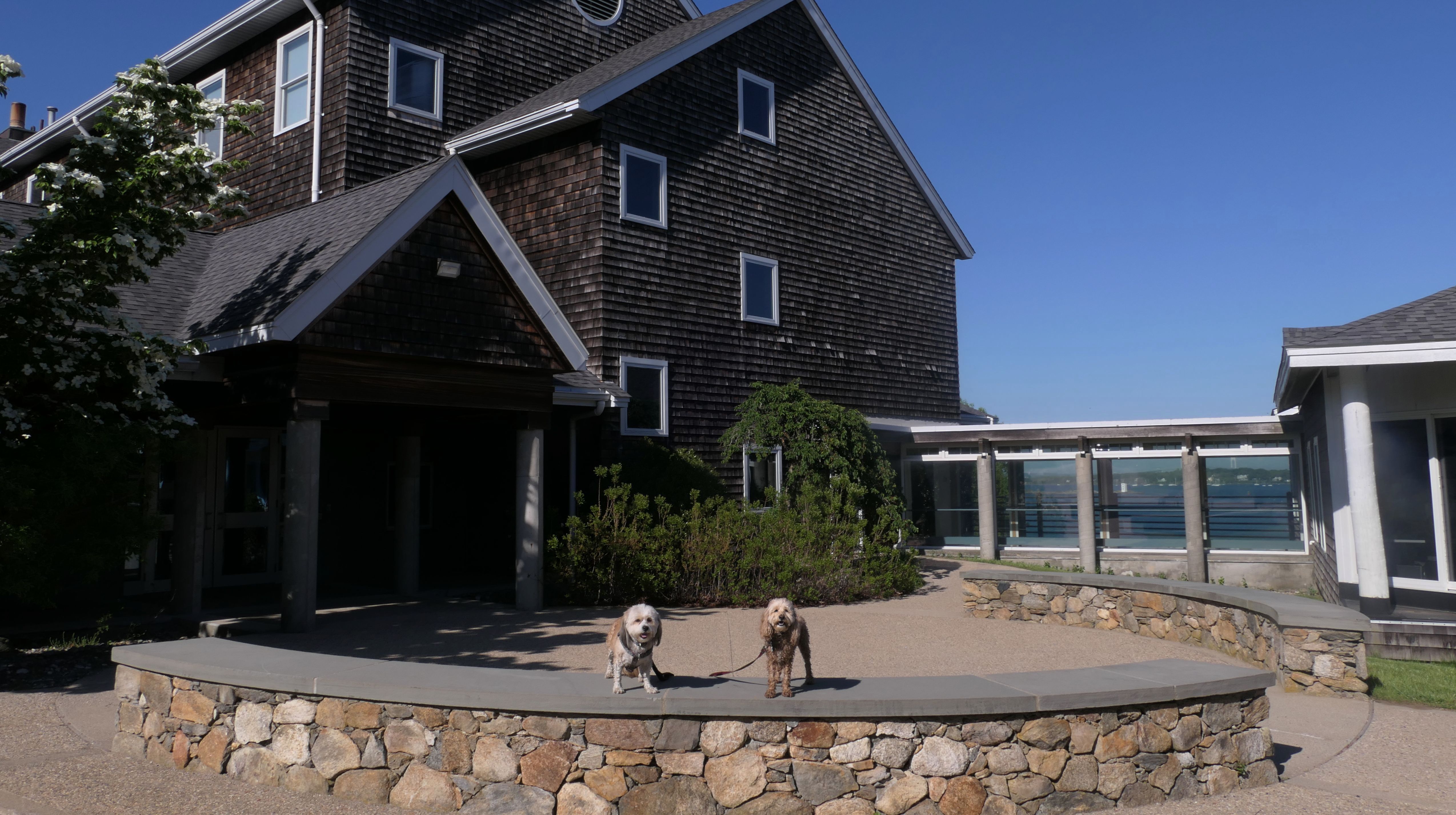
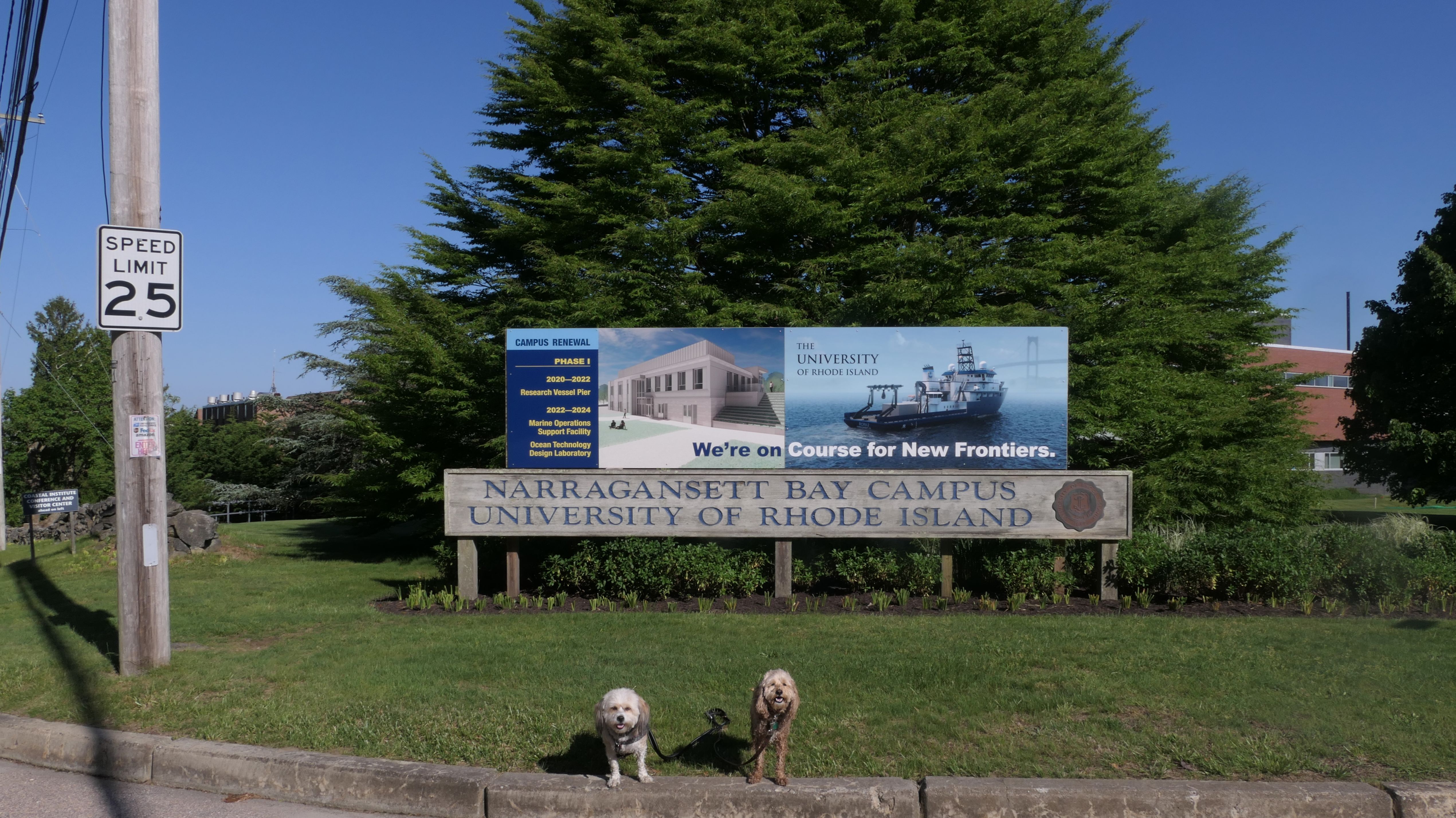
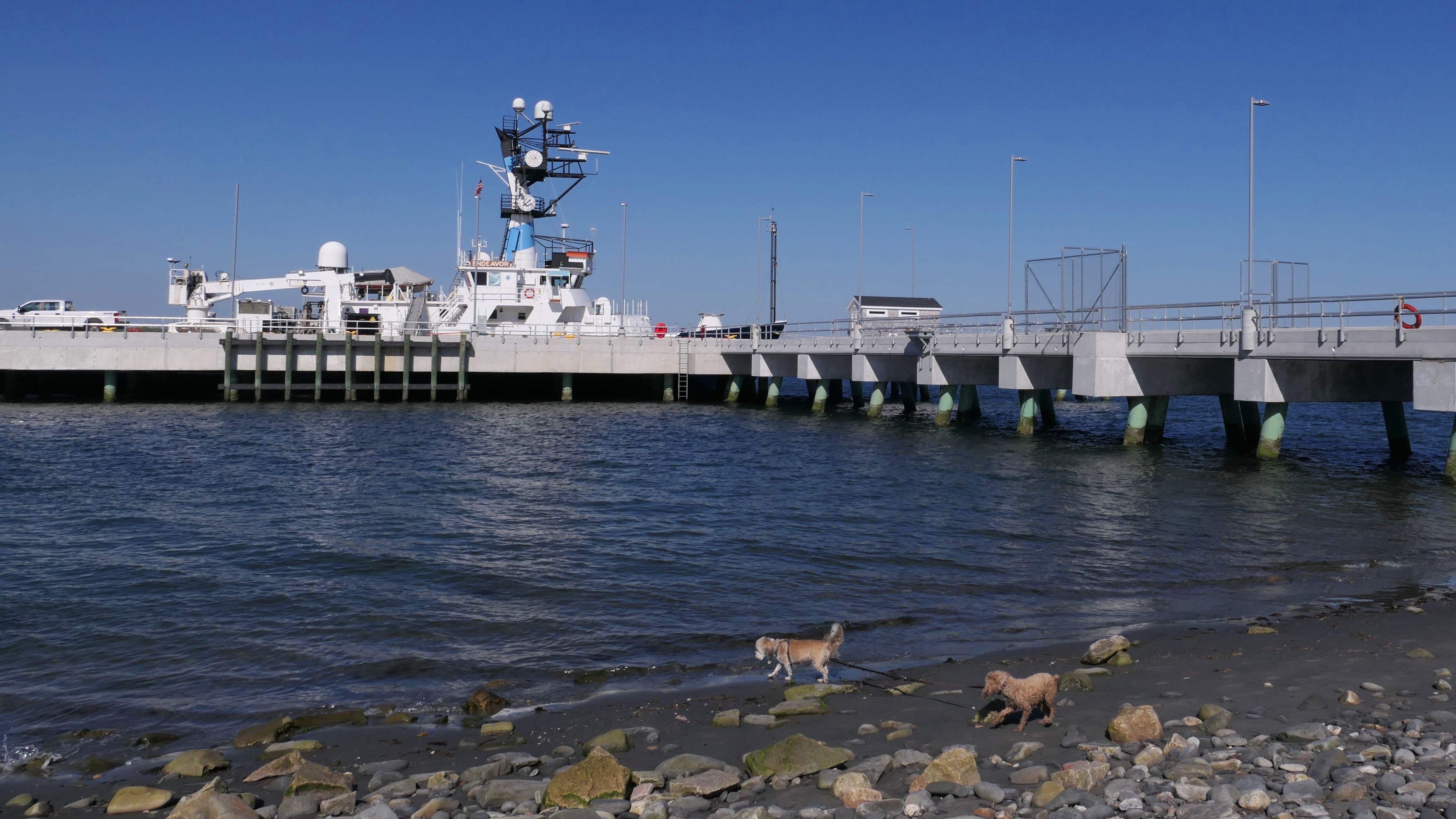
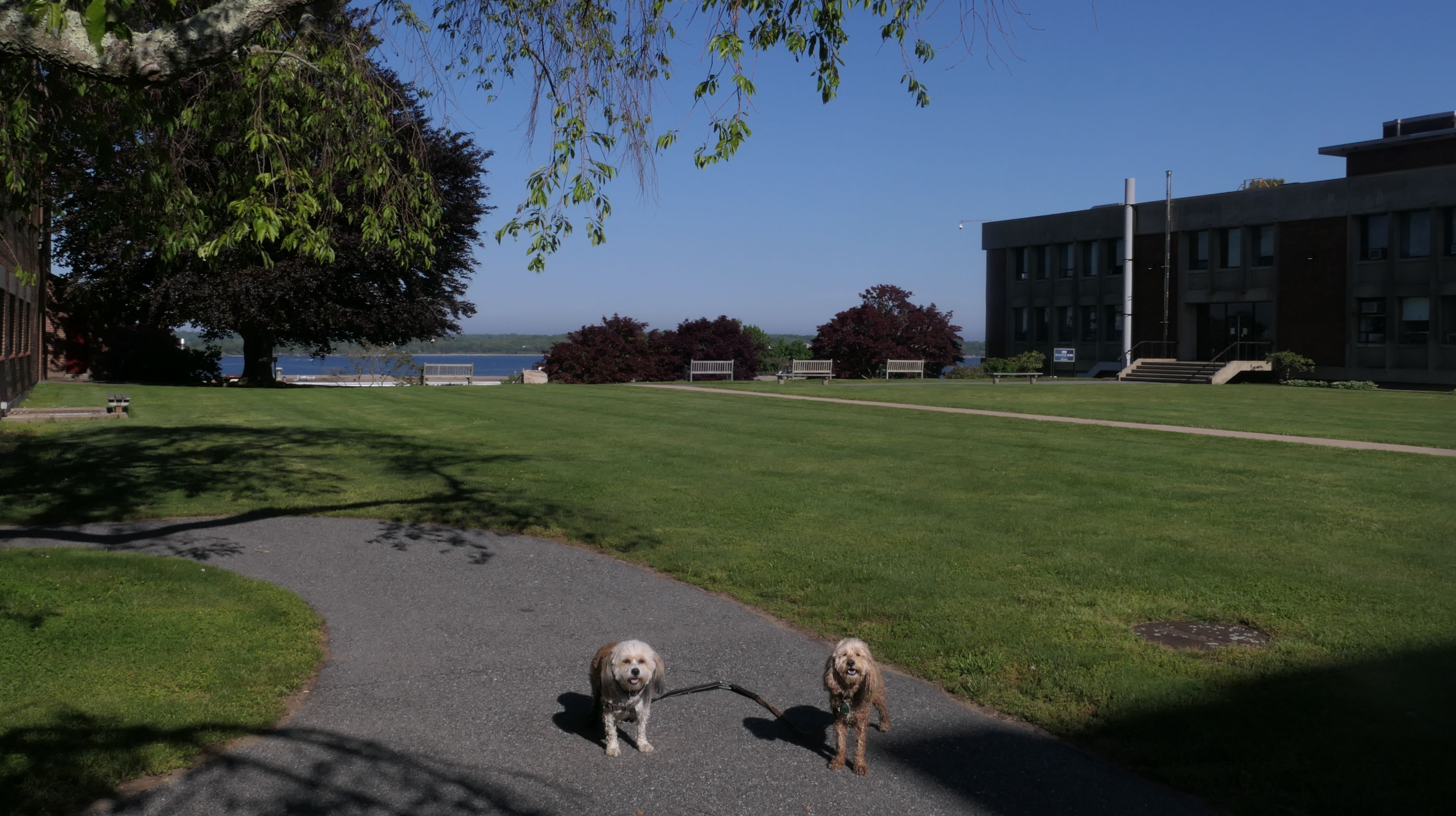
Date visited: 5/24/2024
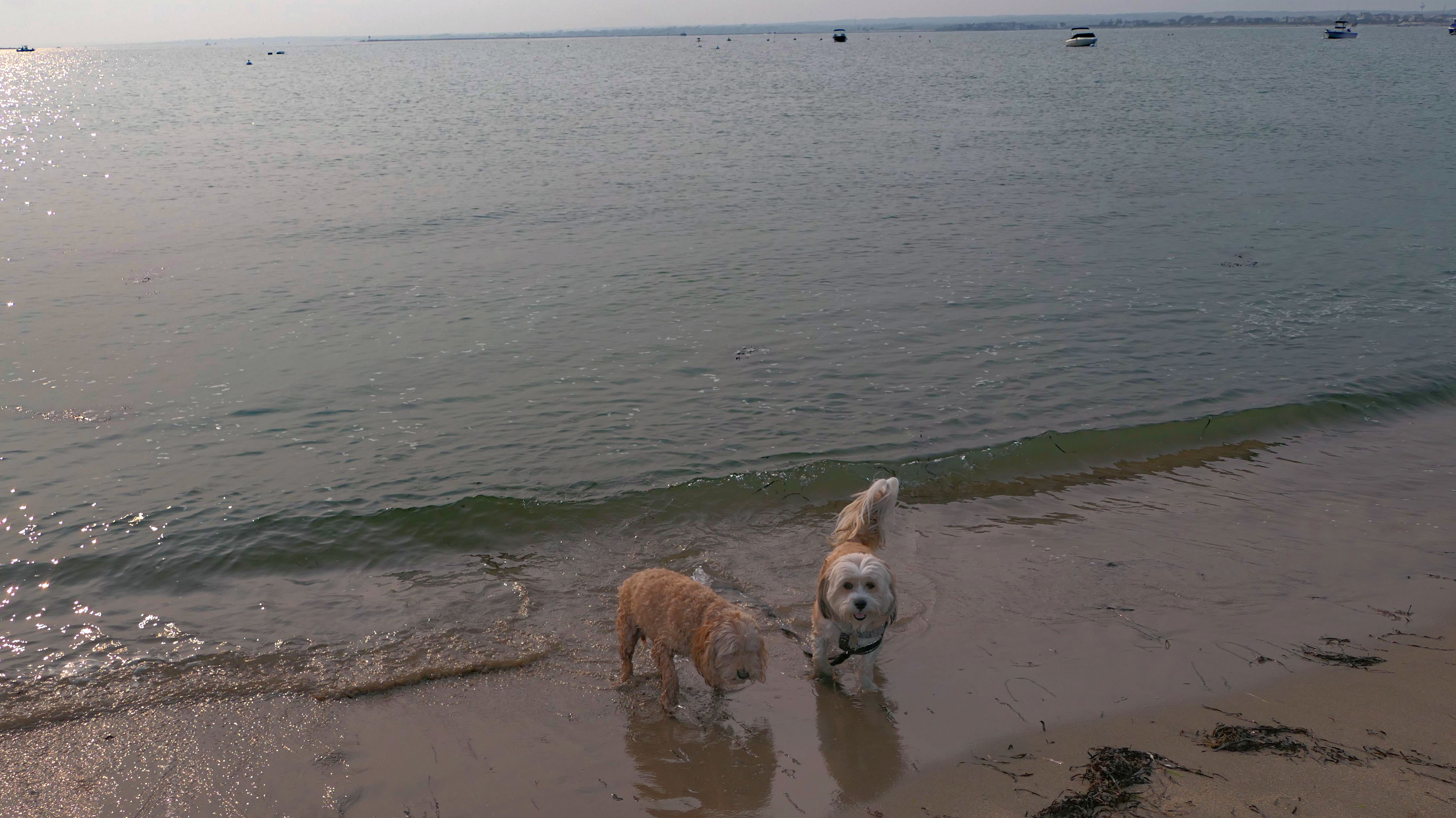
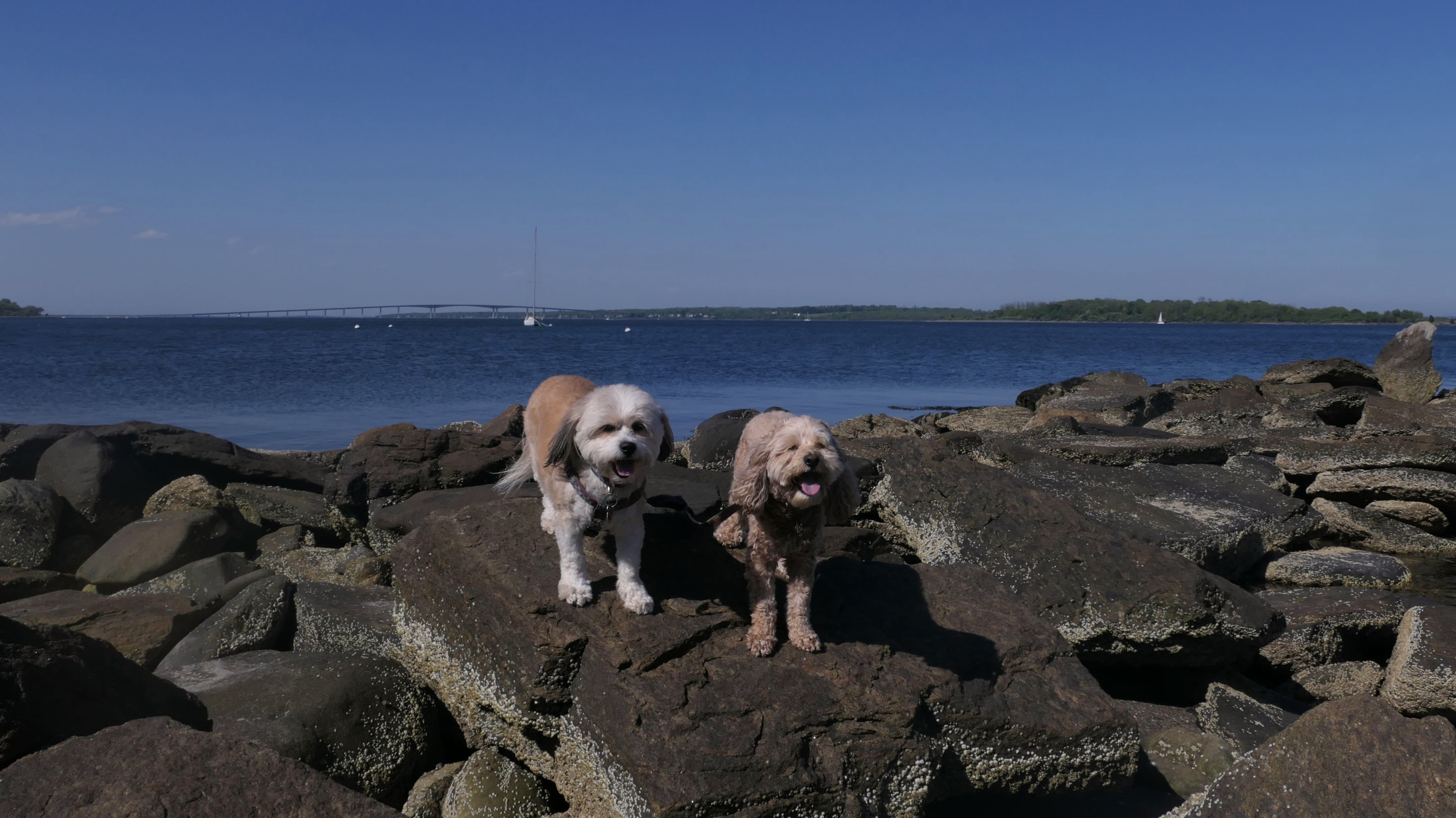
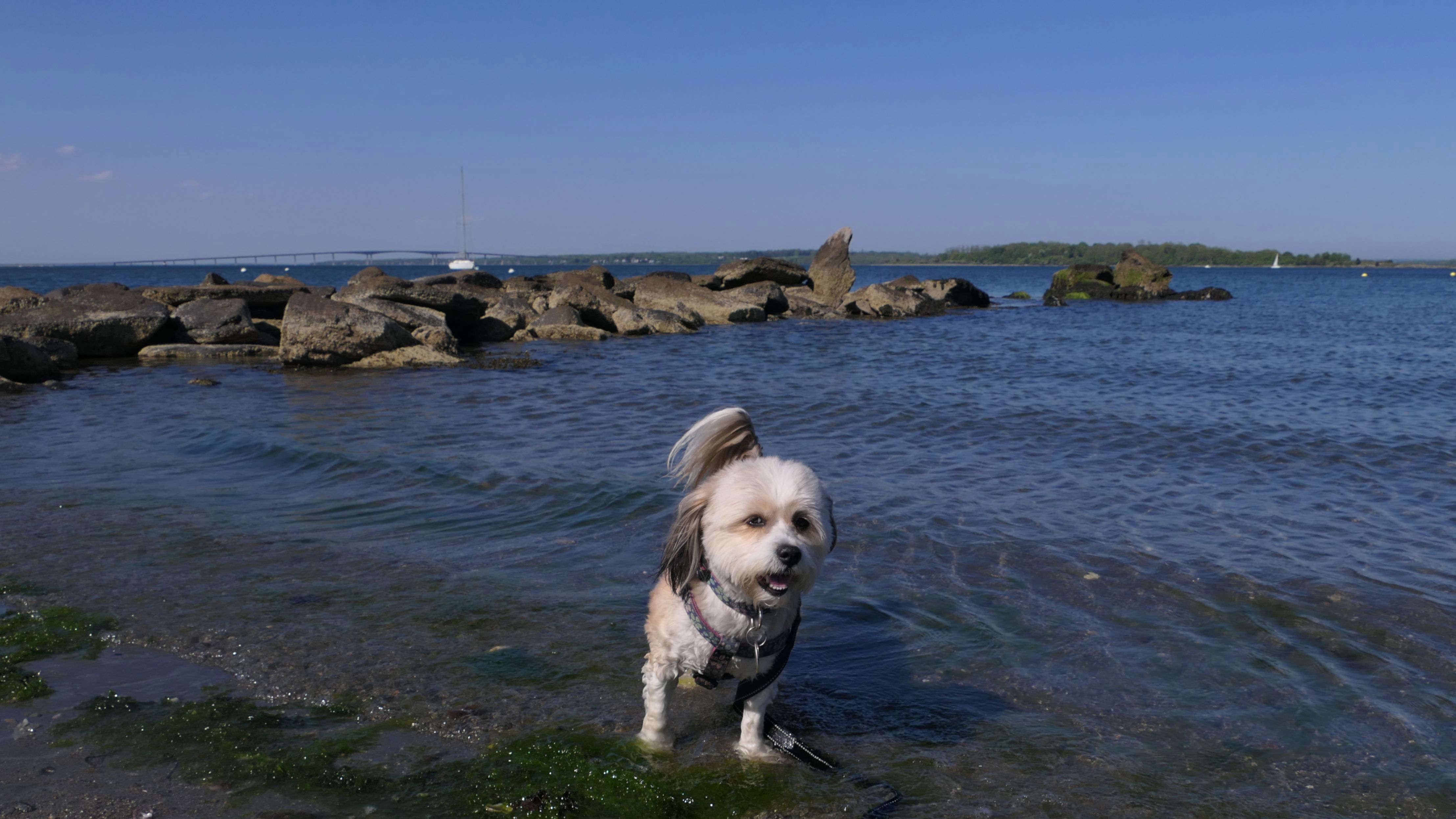
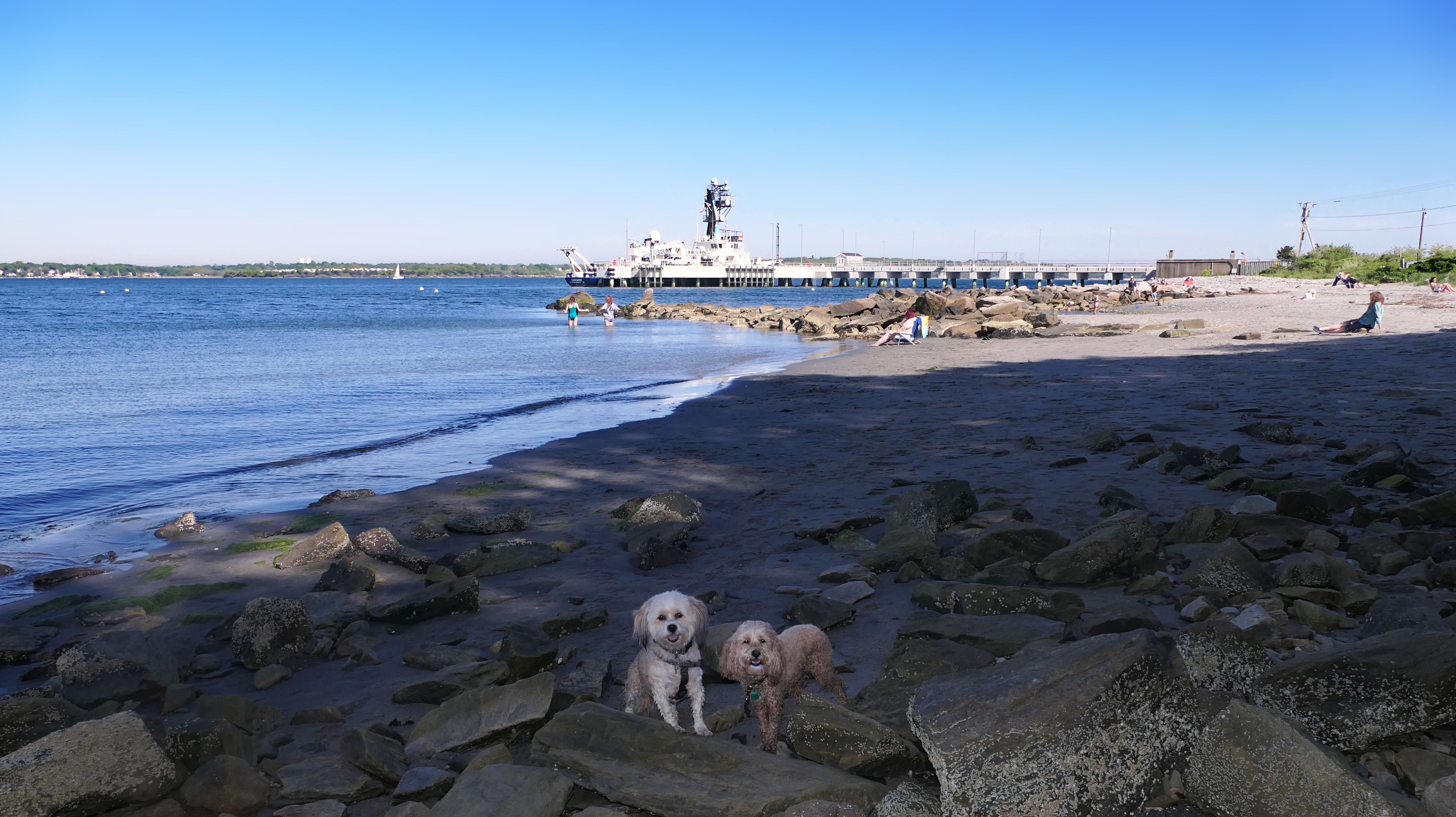
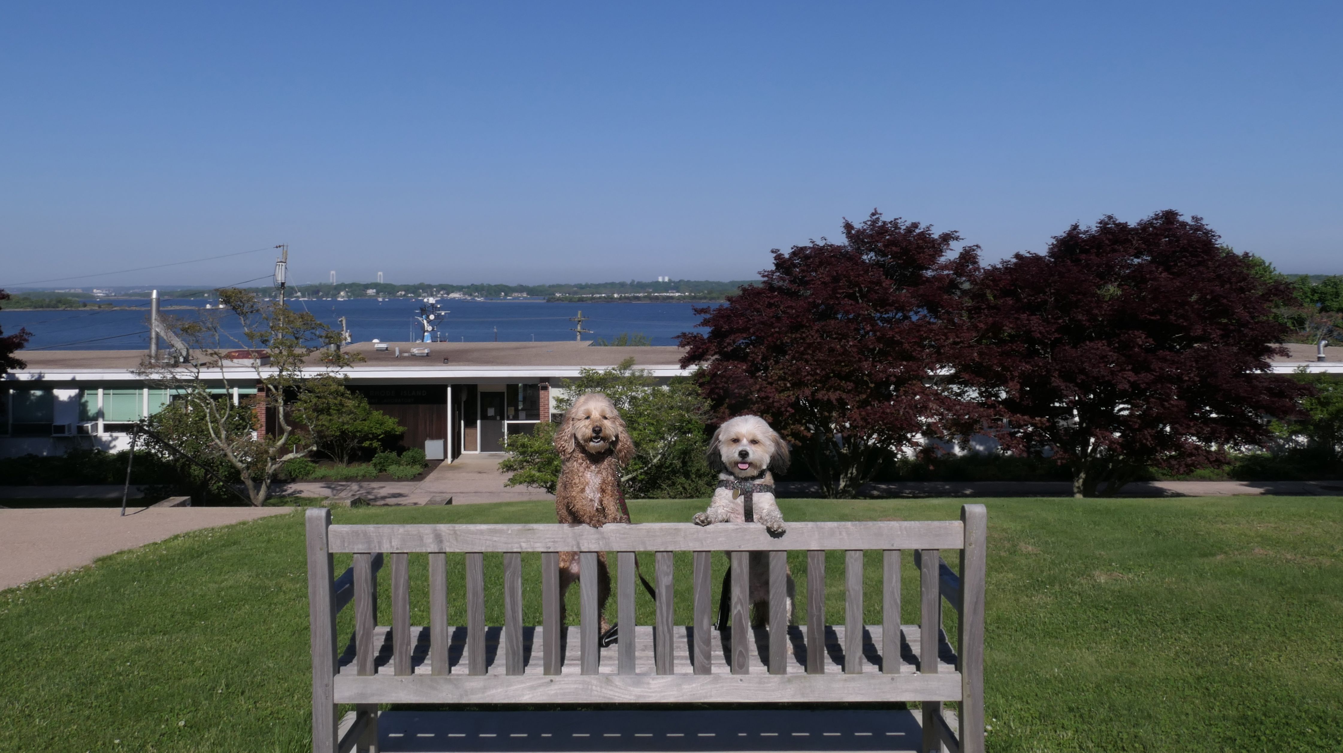
Somehow I was able to find another dog-friendly beach in Narragansett that we hadn't visited yet! This beach is located on University of Rhode Island's Narragansett Bay Campus, and is open to the public. There's not that much information on-line about it. Dogs are welcome year round. The beach is small. It's in the northern part of Narragansett, looking out into the bay, rather than the open ocean. The waves are mild, but that's just how Mandy & Lexi like it. They wasted no time getting into the water! There are views of both the Jamestown and Newport bridges from here. A distinguishing feature of the beach, is the RV Endeavor, a research vessel docked here. We also walked around the small campus a bit, and took some nice photos in front of the campus buildings.
More Images
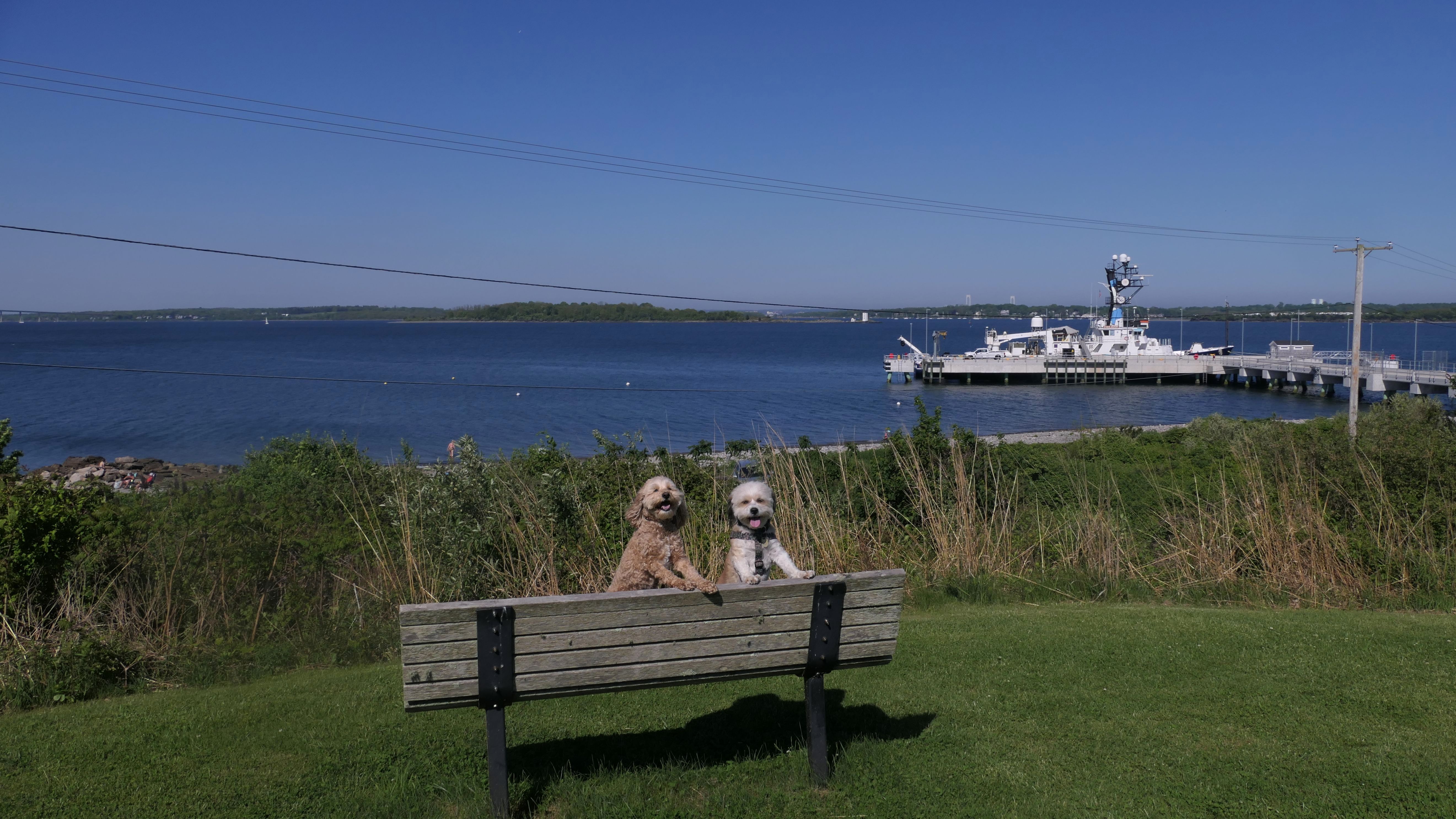
URI Narragansett Bay Campus
Date visited: 6/24/2025
This was Day 3 of the late June heat wave. Record temps were recorded throughout the region, with many areas topping 100 degrees. Even the Rhode Island shore was well over 90. It was far too hot to go on any long hikes, so we went to a number of different places where the dogs could spend as much time in the water as they wanted to cool off. We went to Dog Beach first, but there was no parking available, so this was our next stop. This time around, the RSV Endeavor research vessel was not docked here. It must be out on a mission! We were able to get to the rocky area on the other side of the ship dock this time. We stayed here for a bit, and Mandy and Lexi actually played on the beach. The water was calm, shallow, and warm. Our next stop was the Sprague Bridge Recreation area.
More Images
Knowlesway Ext Shoreline Access
Date visited: 8/5/2024
This is a small waterfront access point for Point Judith Salt Pond, at the end of Knowlesway Extension. There's a small park area, and a wooden stair case that leads to the waterfront. The area is not large, but provides nice views of the salt pond.
More Images
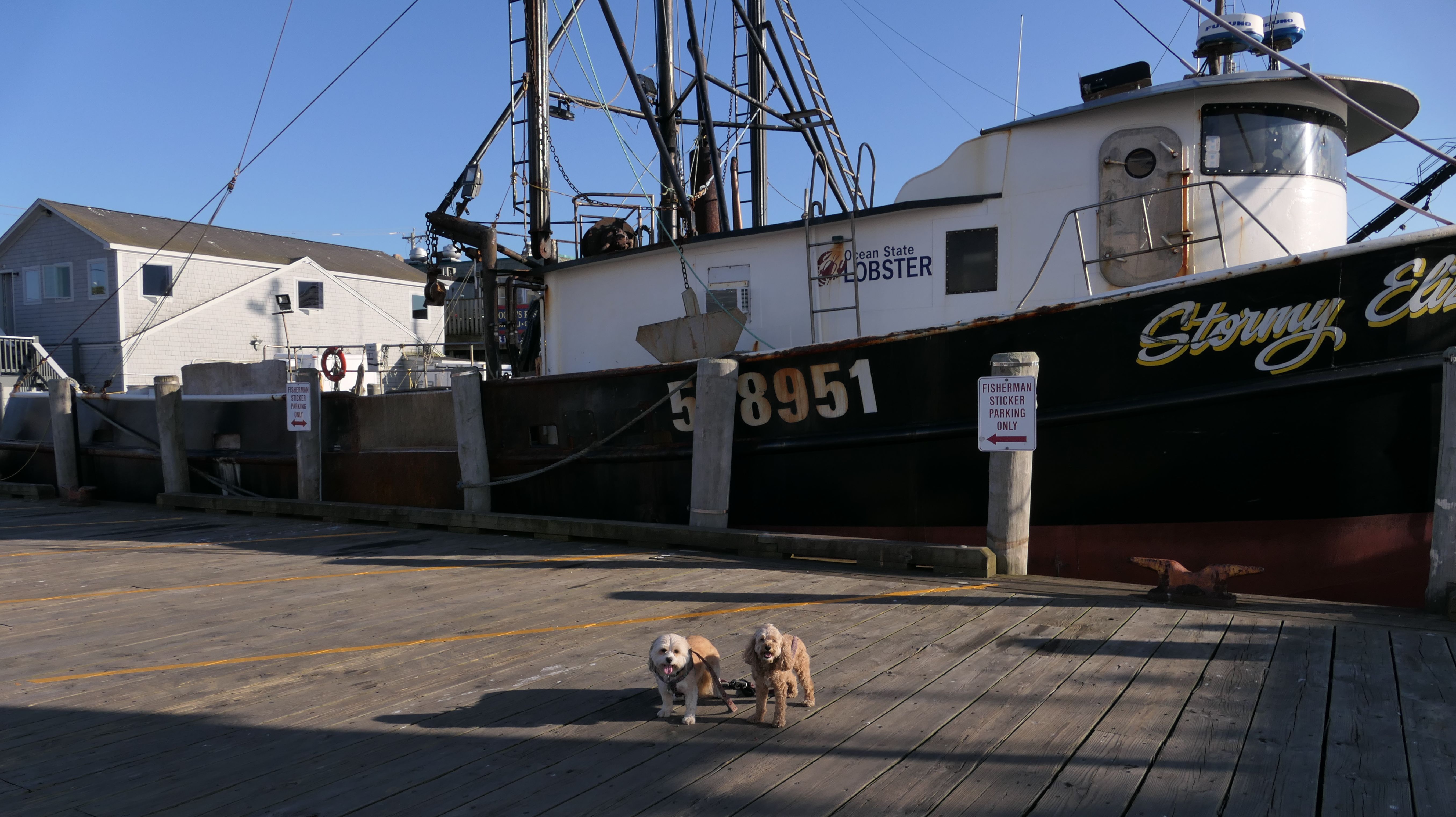
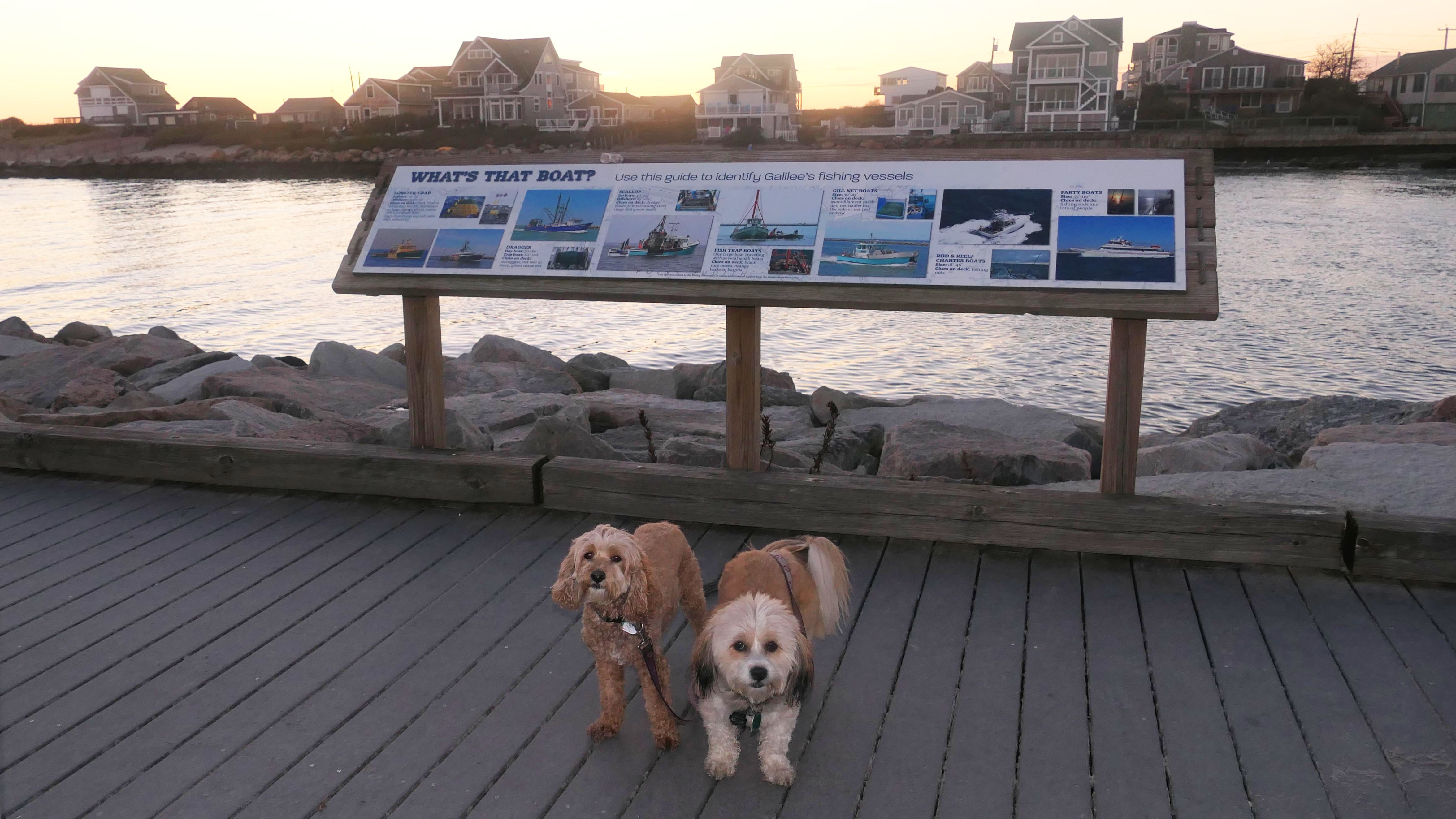
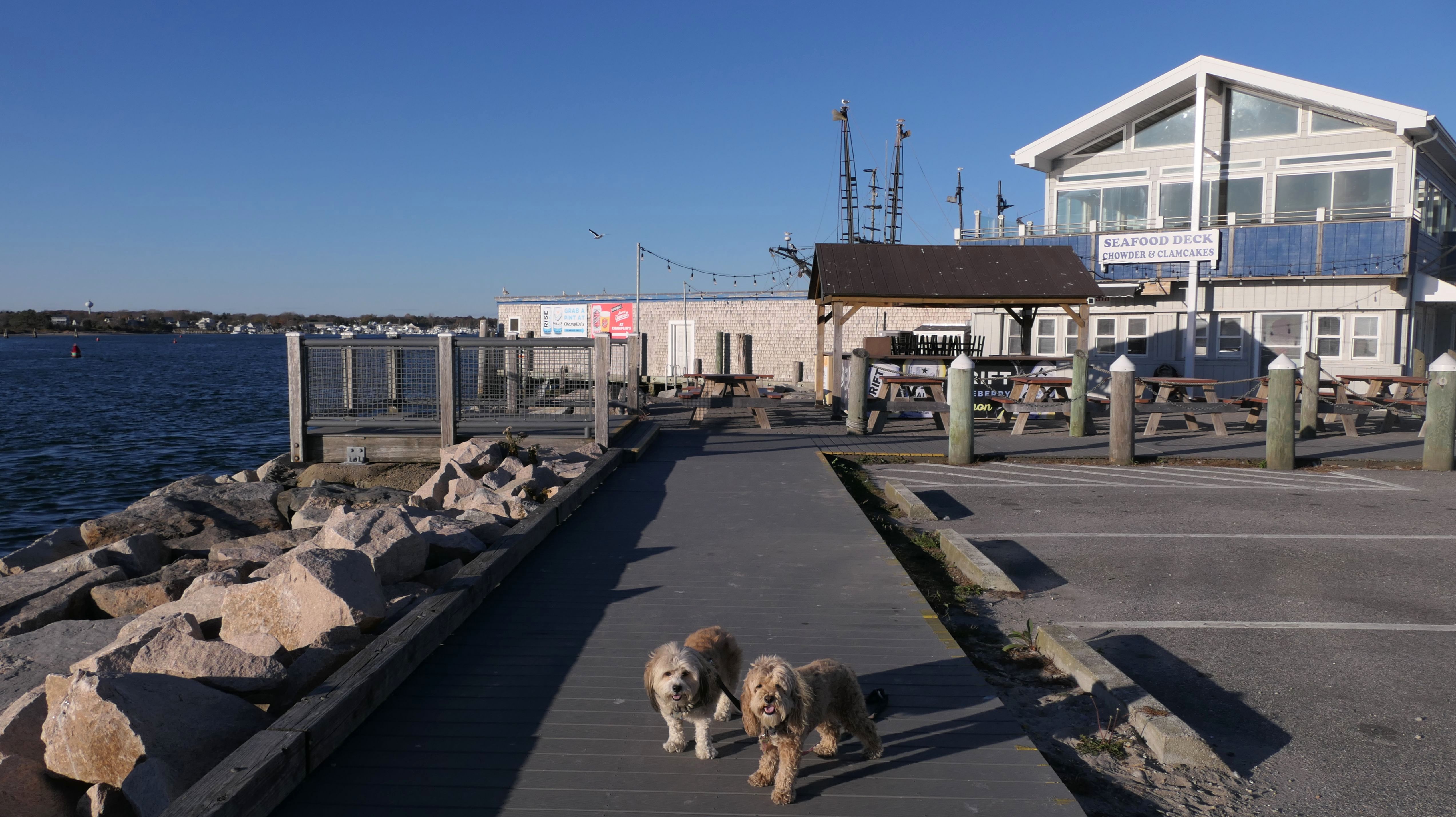
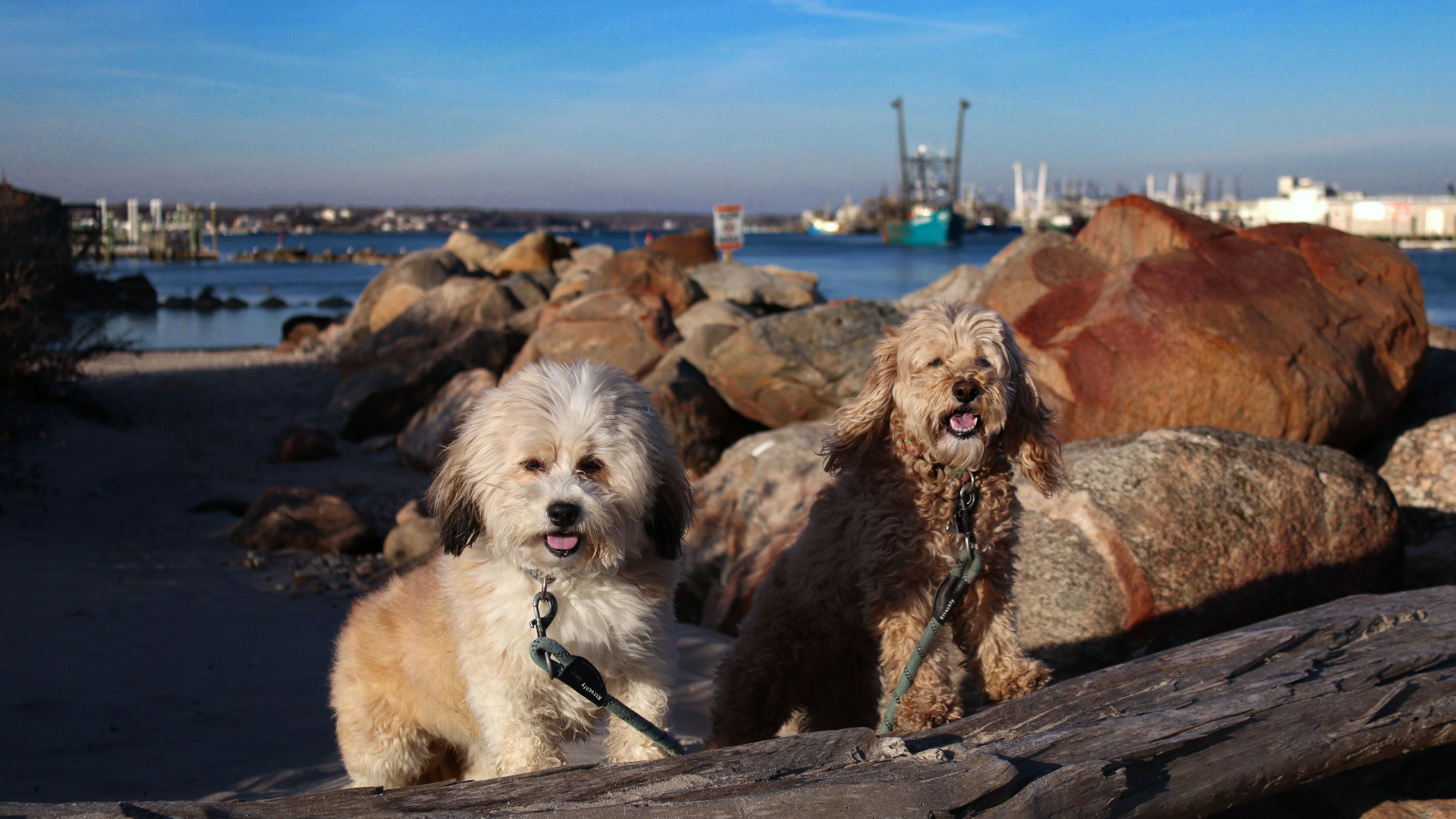
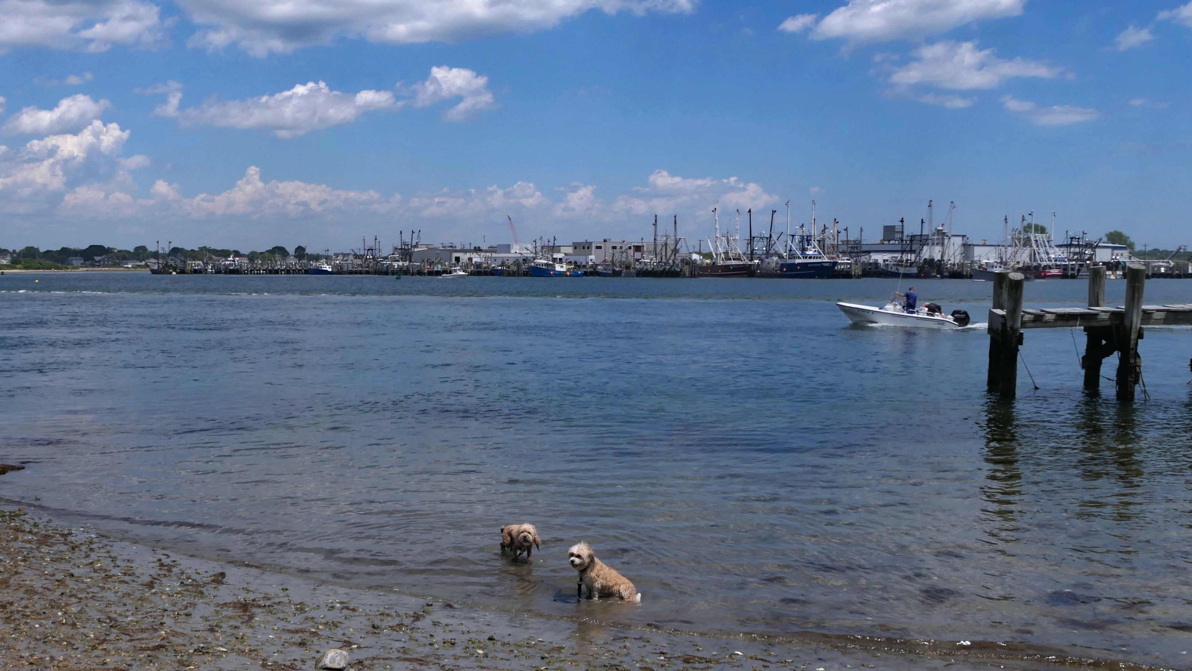
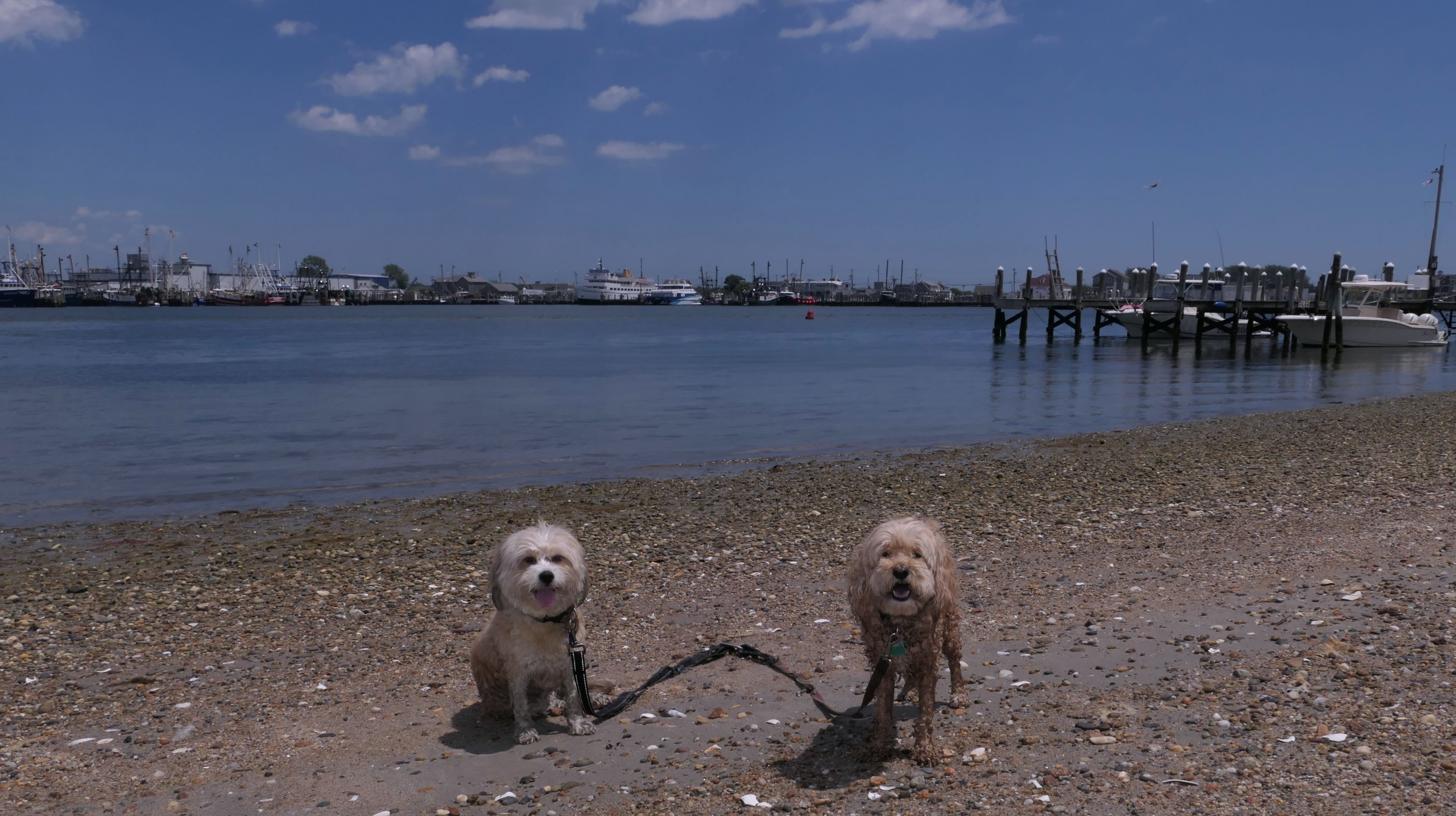
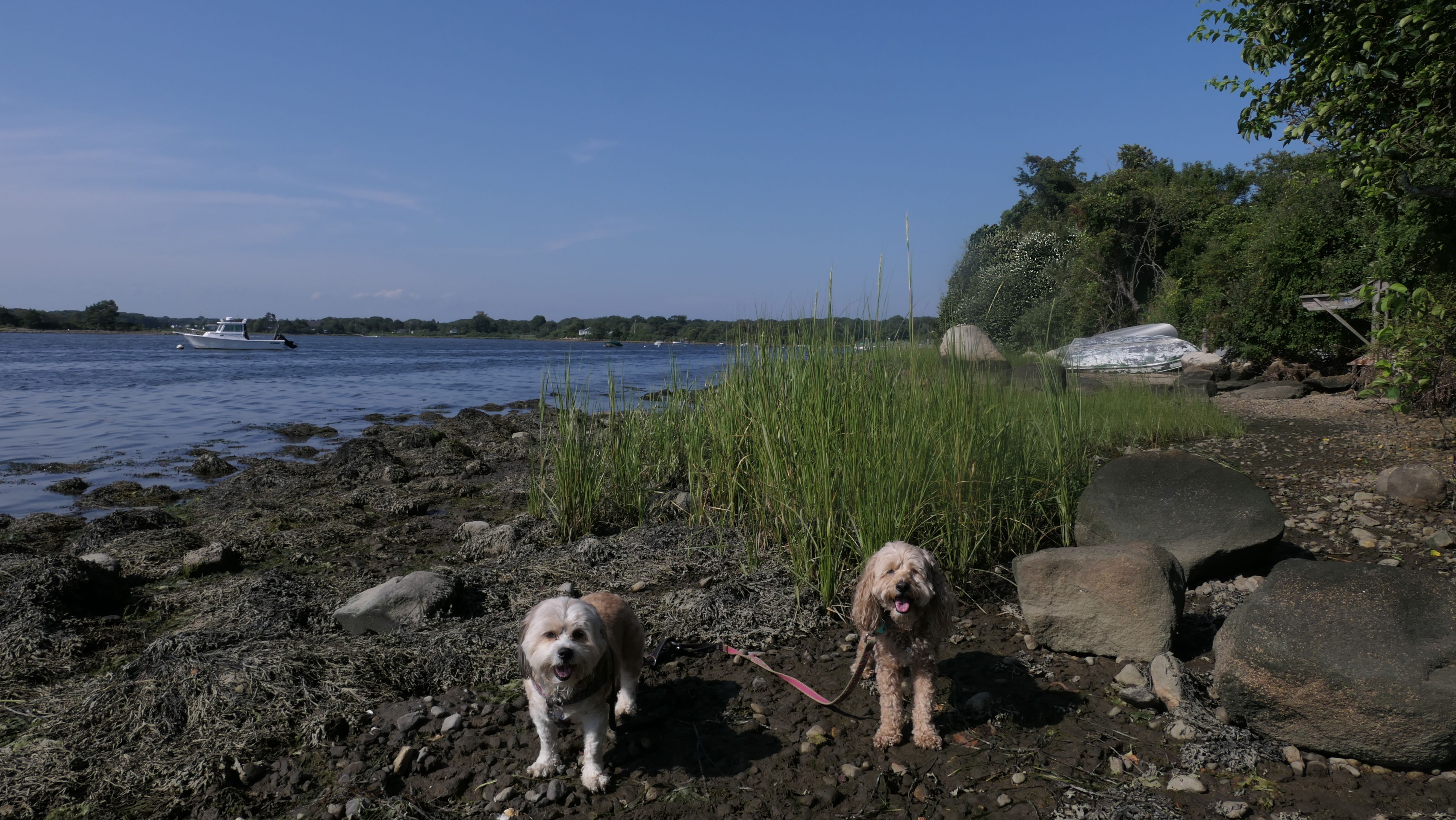
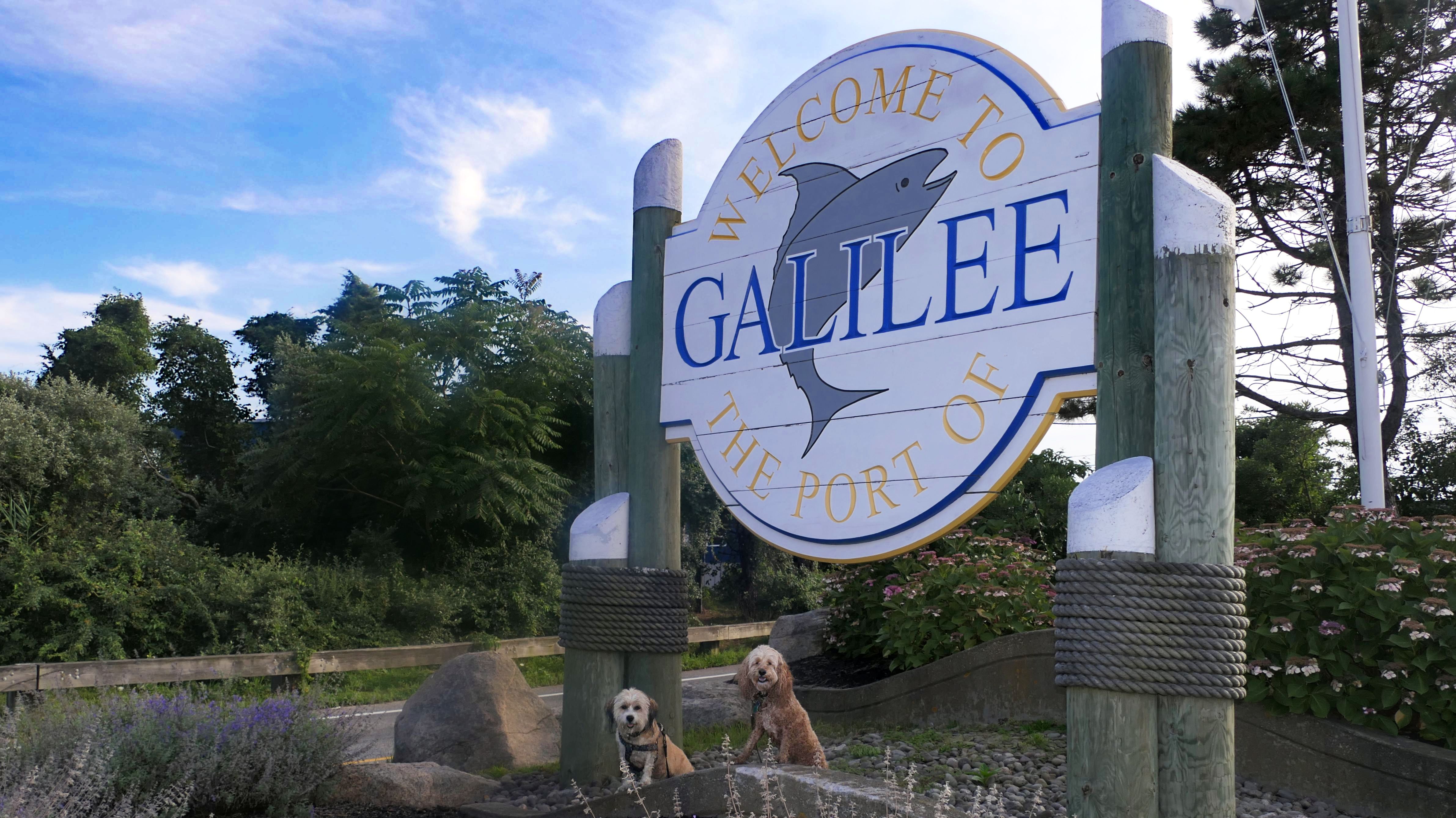
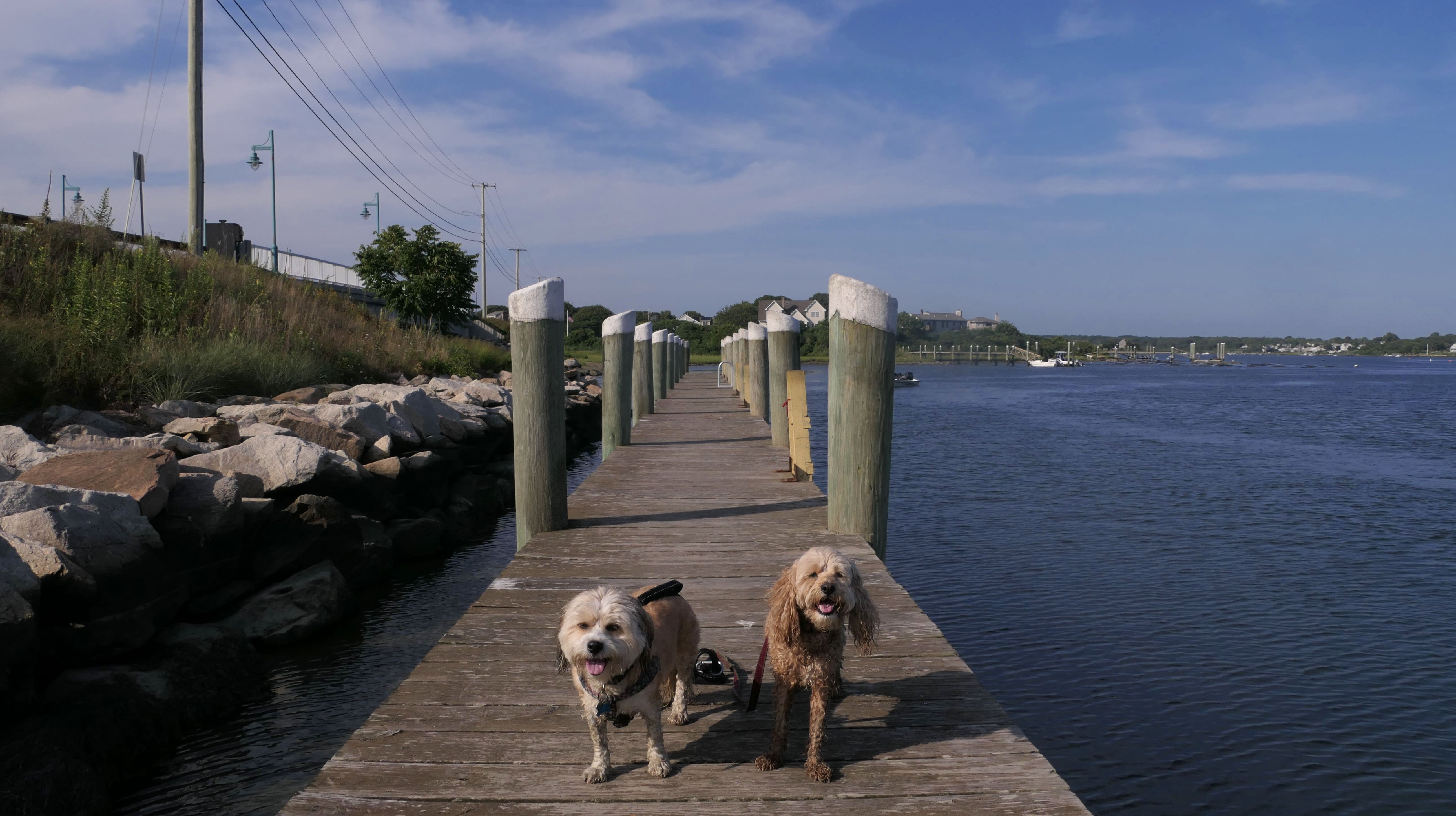
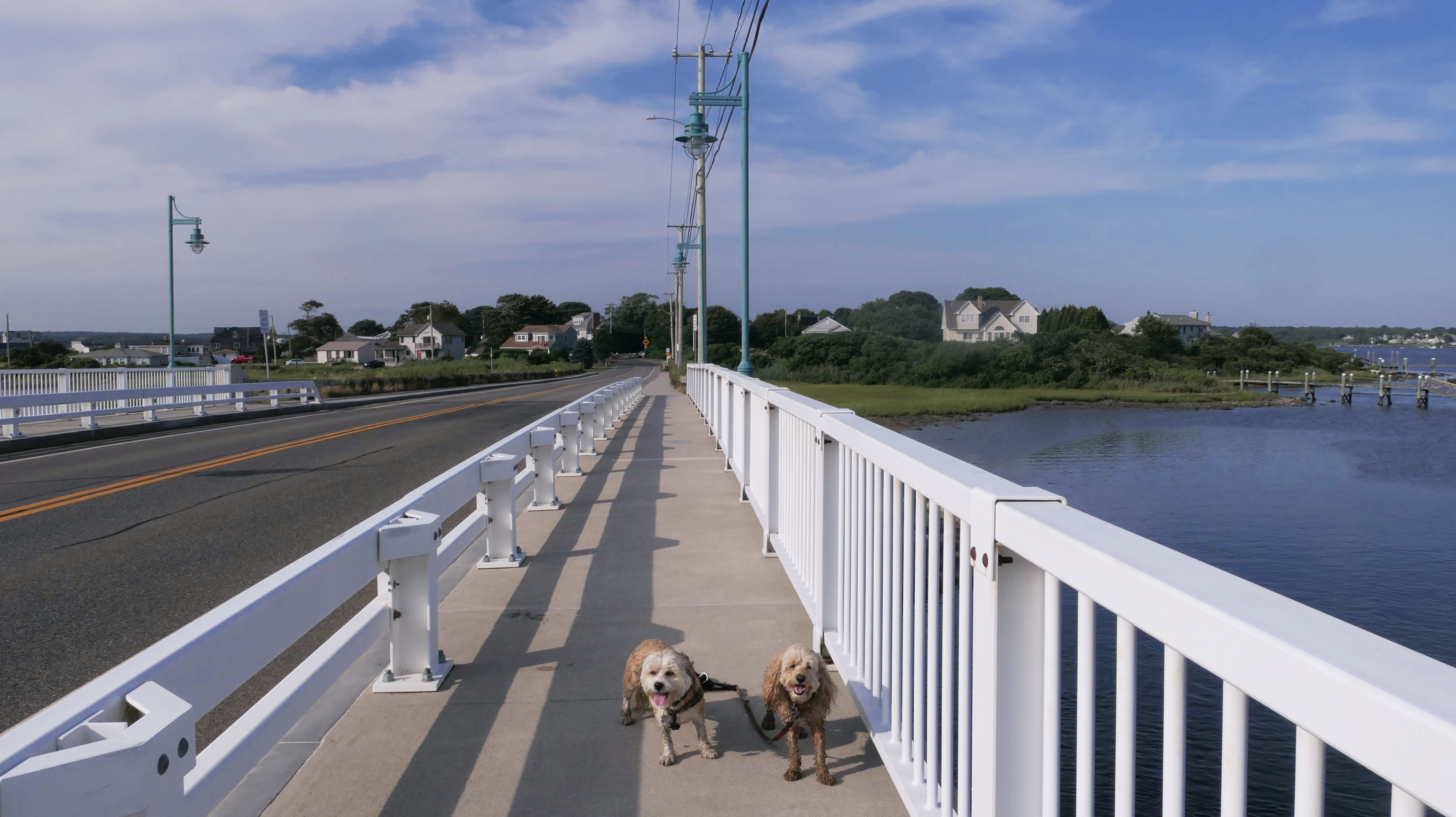
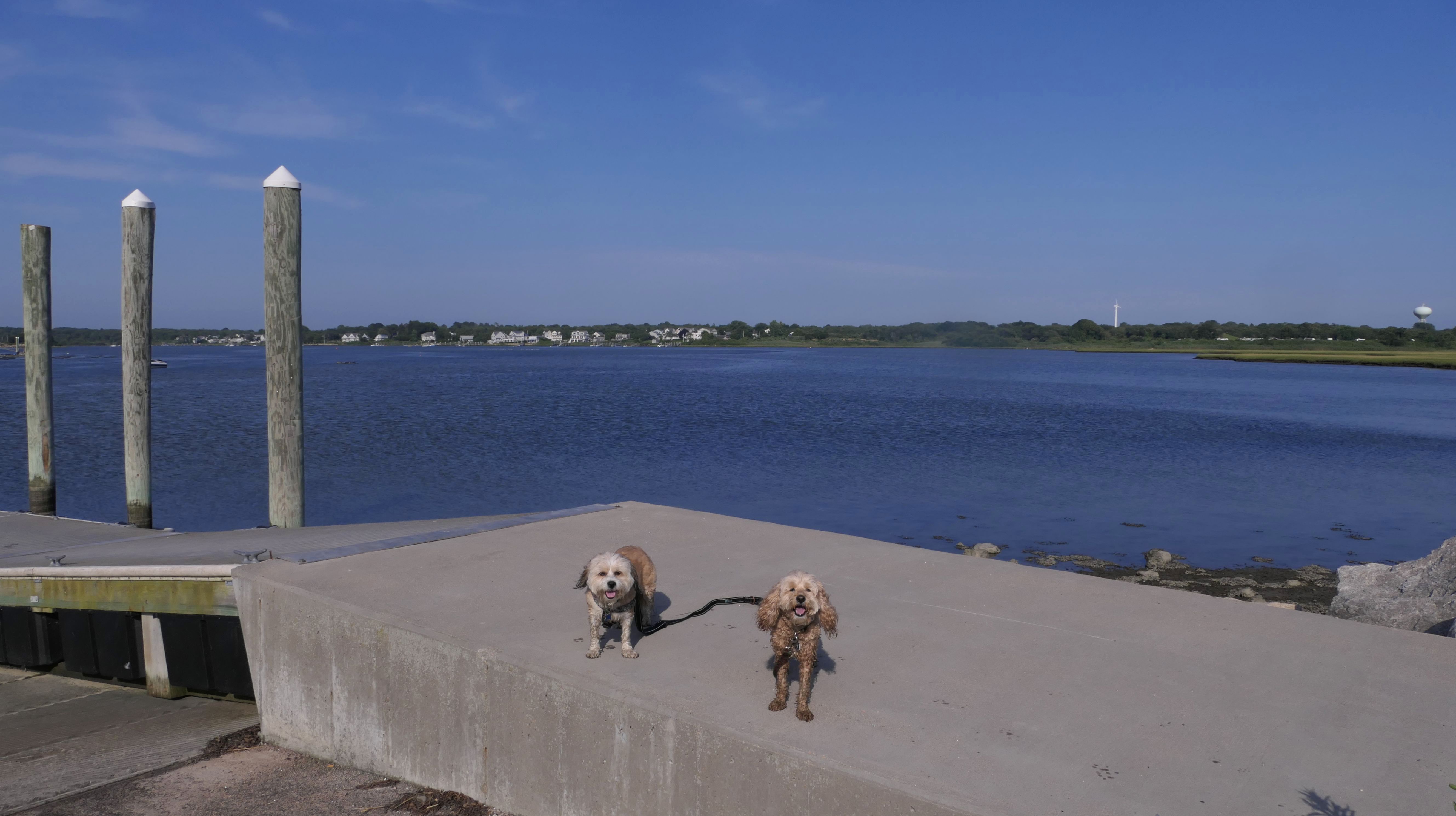
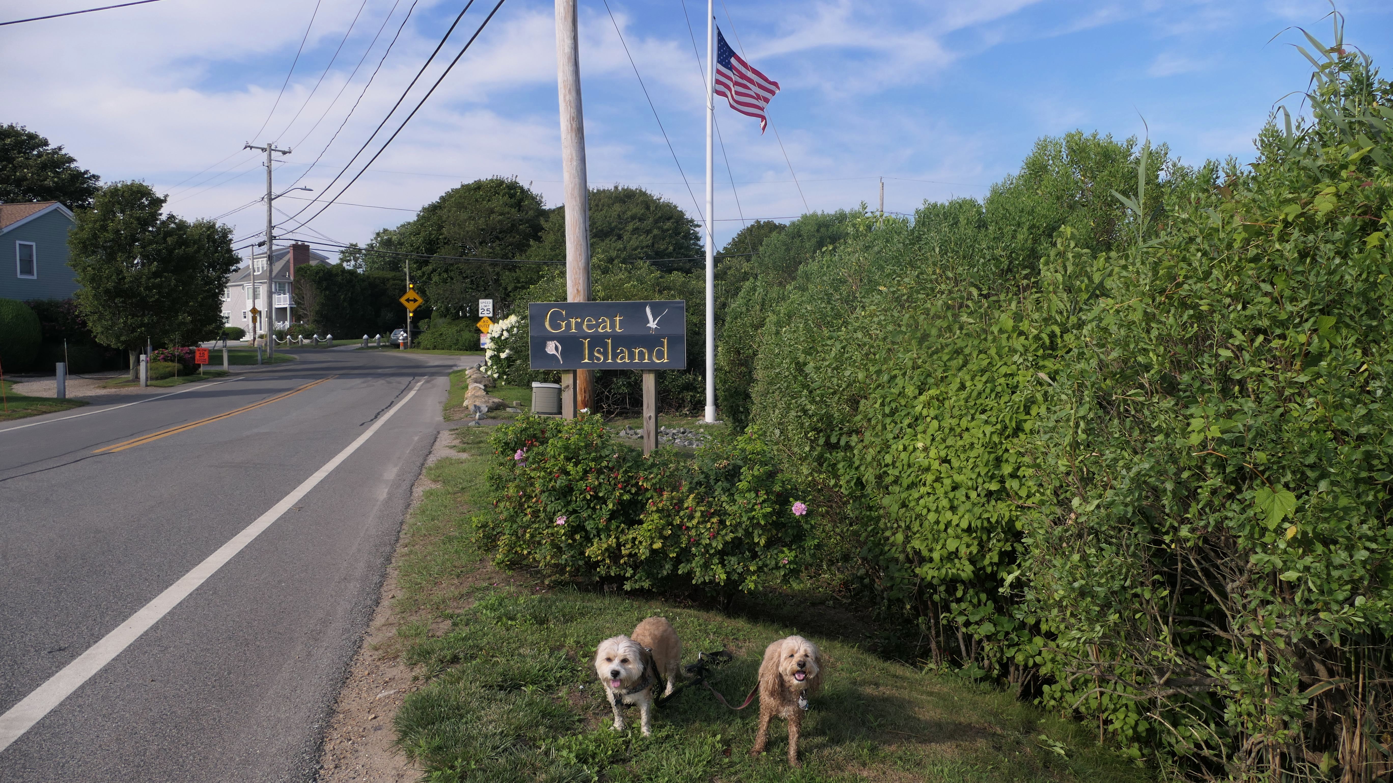
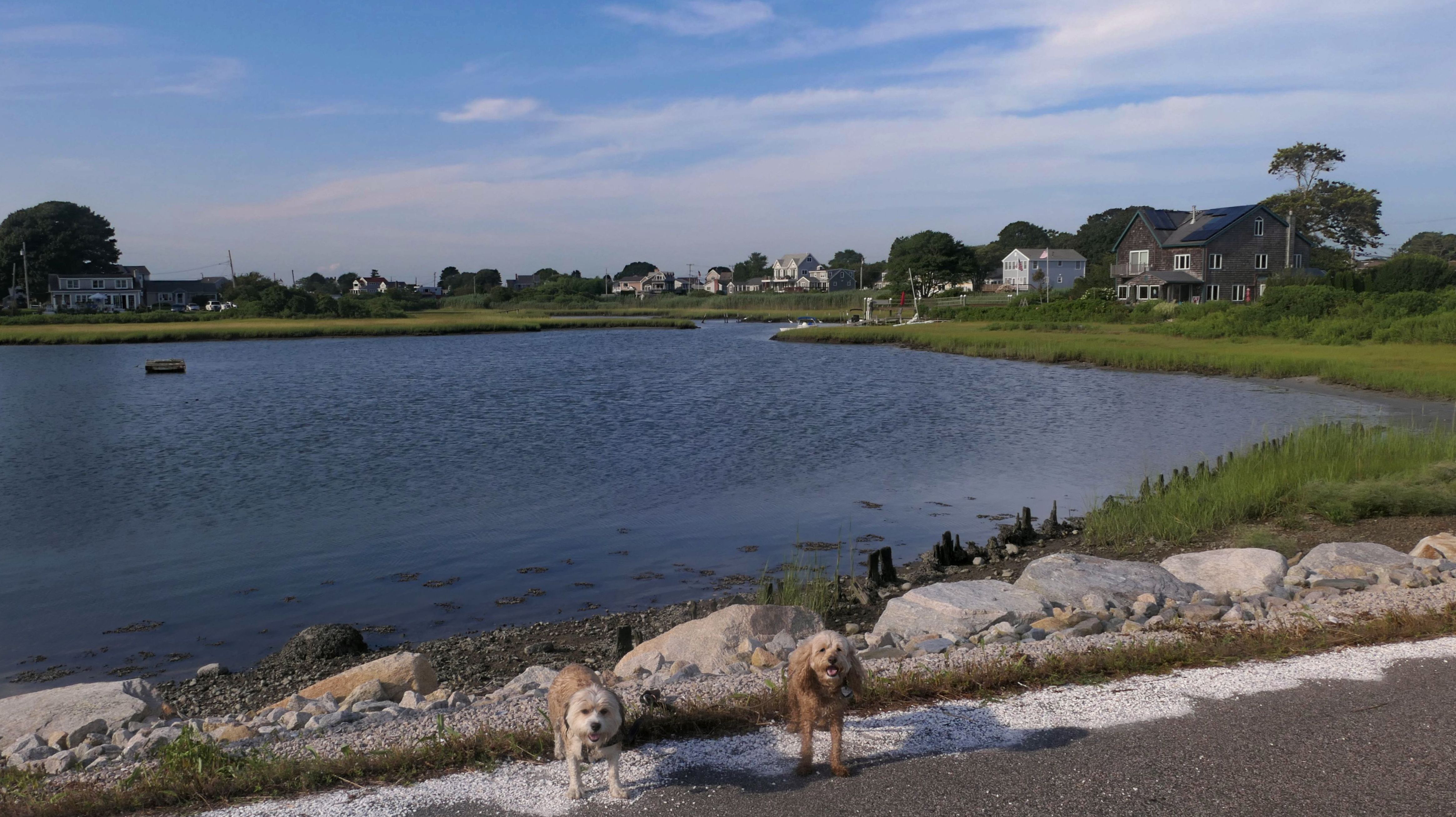
Port Of Galilee
Date visited: 8/5/2024
There's not many adventures in this area left for us that we haven't done before, so I started creating our own! We parked along side Galilee Escape Road, and explored the area. There's a state run boat launch, with a small beachy area along the southeast side of Point Judith Pond. Mandy and Lexi were able to cool off on the pond. After that, we headed over the Great Island bridge, on to the island, and then over to Little Comfort Island, where Mandy and Lexi were able to enjoy another beachy area. We walked a bit over two miles total here.
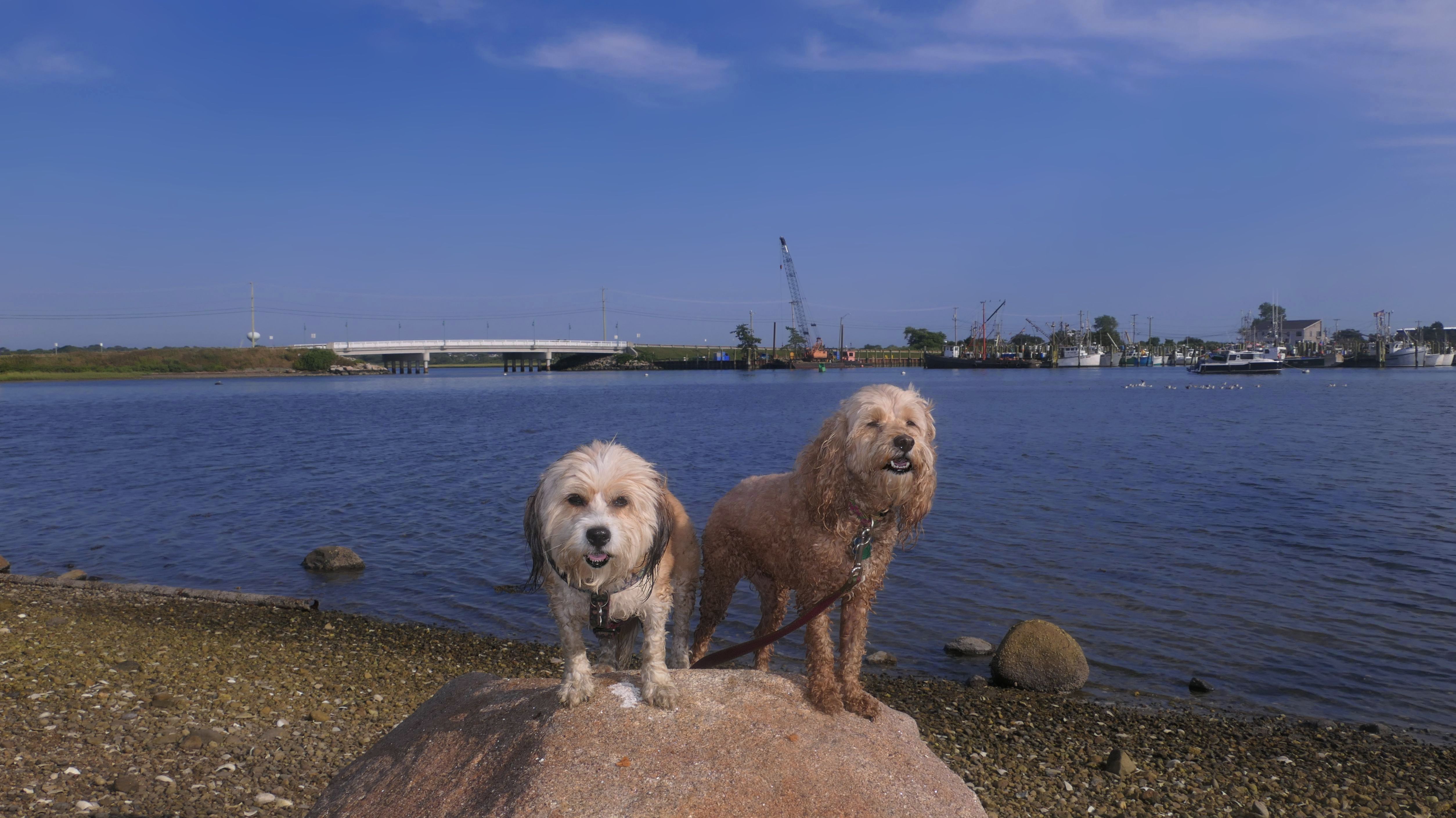
More Images
Sand Hill Cove Beach
Date visited: 11/27/2024
This is the stretch of sand and rocks in between Roger Wheeler State Beach and the Camp Cronin Fishing Area and Beach. We've tried to walk this stretch of beach on previous visits, but were unable to due to the tides. Today the tides were lower, and there was actually a path that had formed that kept us mostly off the rocks. There was one short stretch where we had to climb on the rocks to get by. On our way back, instead of climbing the rocks again as the tide got higher, we walked back to Roger Wheeler Beach via the streets (Ocean Road, Point Judith Road and Sand Hill Cove Road). On our way, we stopped at the Iggy's Clam Shack picnic area. This combination beach and neighborhood walk was about three and half miles total. It was a good way to spend a nice late November afternoon.
More Images
Sand Hill Cove Beach
Date visited: 10/10/2025
Due to the long weekend, we were let out of work early. I quickly decided to come to this beach, since we had only walked this stretch of sand once before. We started at Roger Wheeler State Beach and walked to Camp Cronin Beach and back. There's nothing new or noteworthy here. It's pretty much the same as last time we were here, except it was lower tide and we didn't have to climb over any large rocks. Waves are mild here, as breakwaters protect this area. It was cooler than it has been, but the dogs still went into the water toward the end of our walk.


More Images


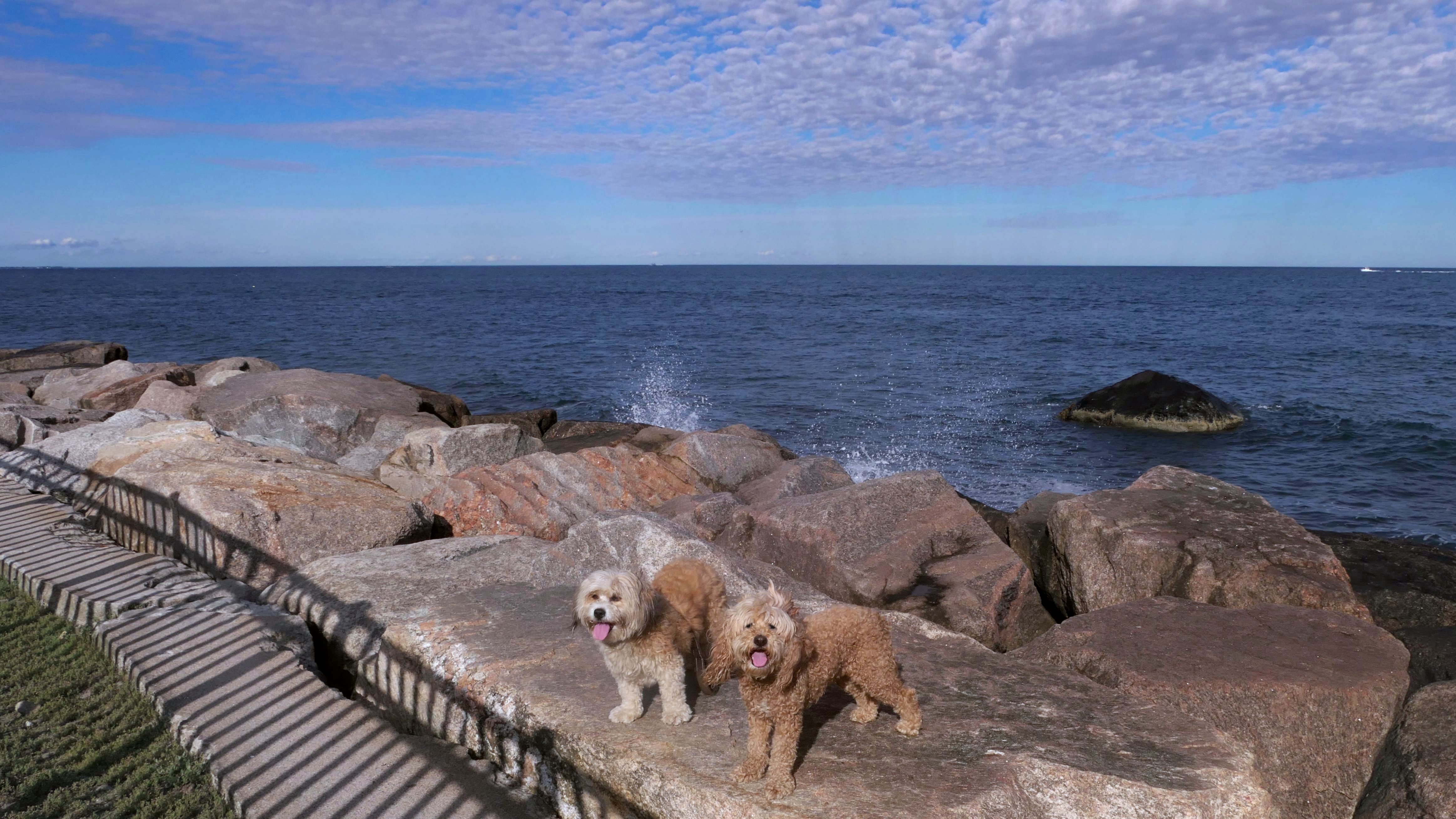
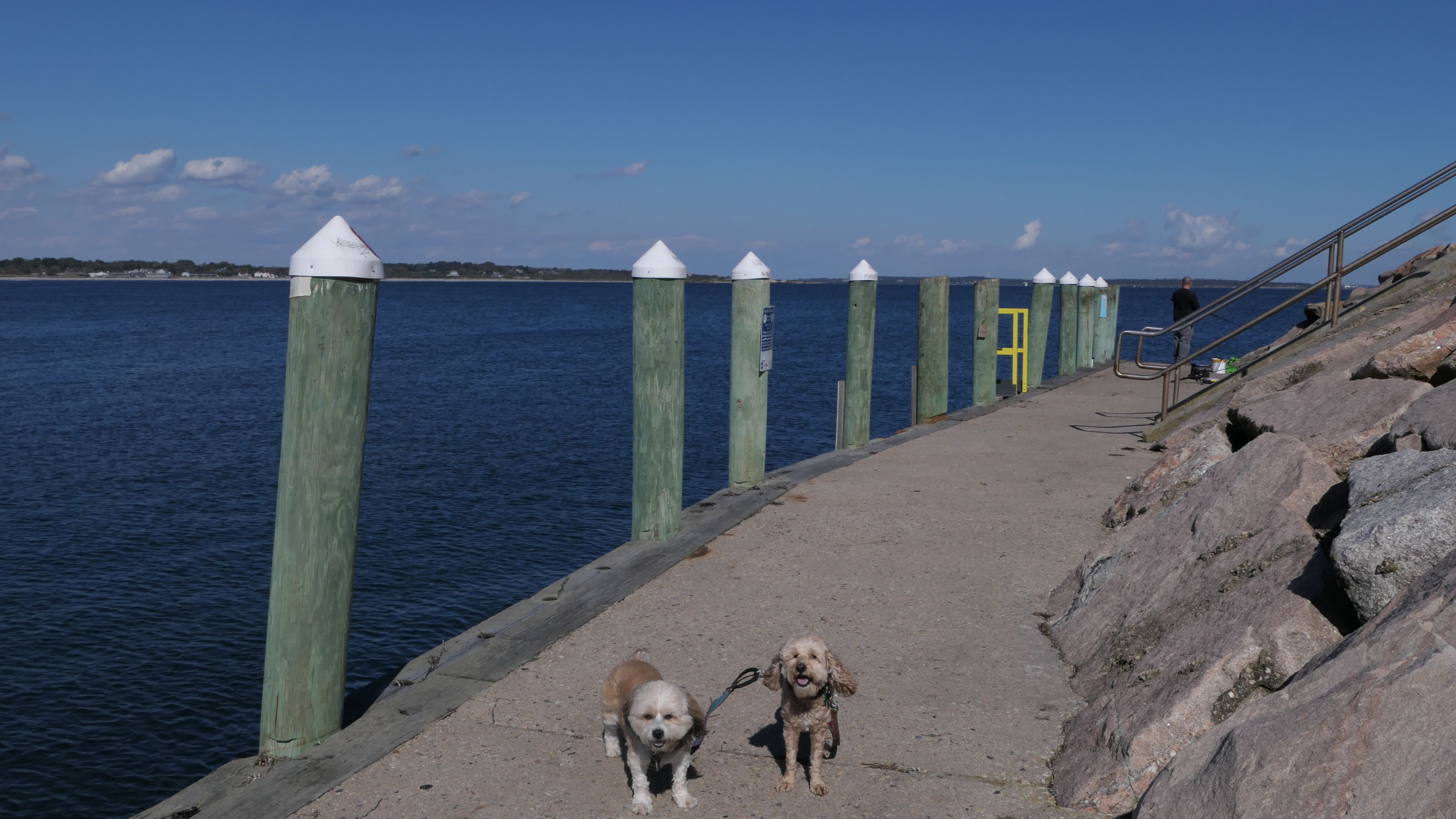
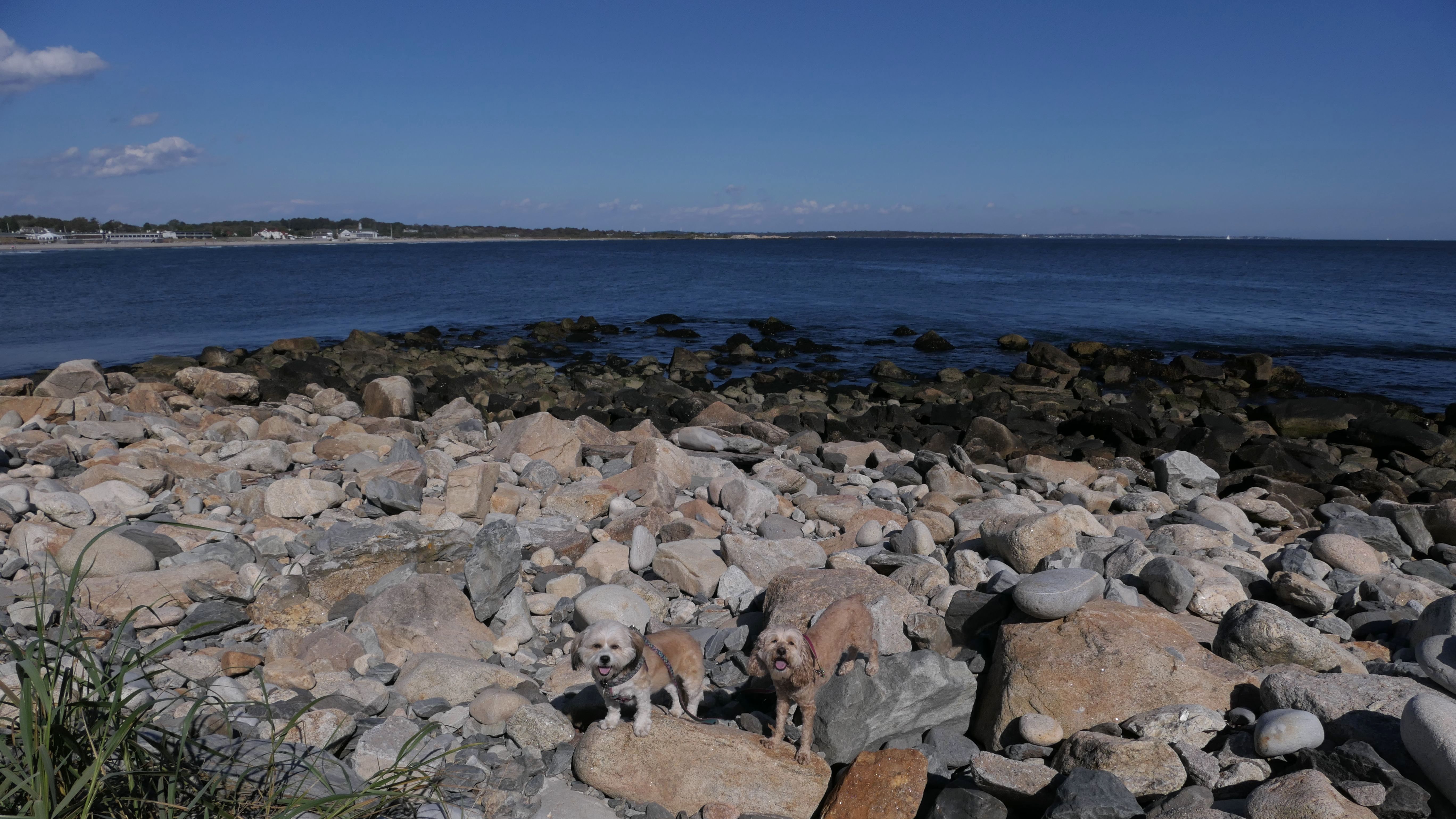
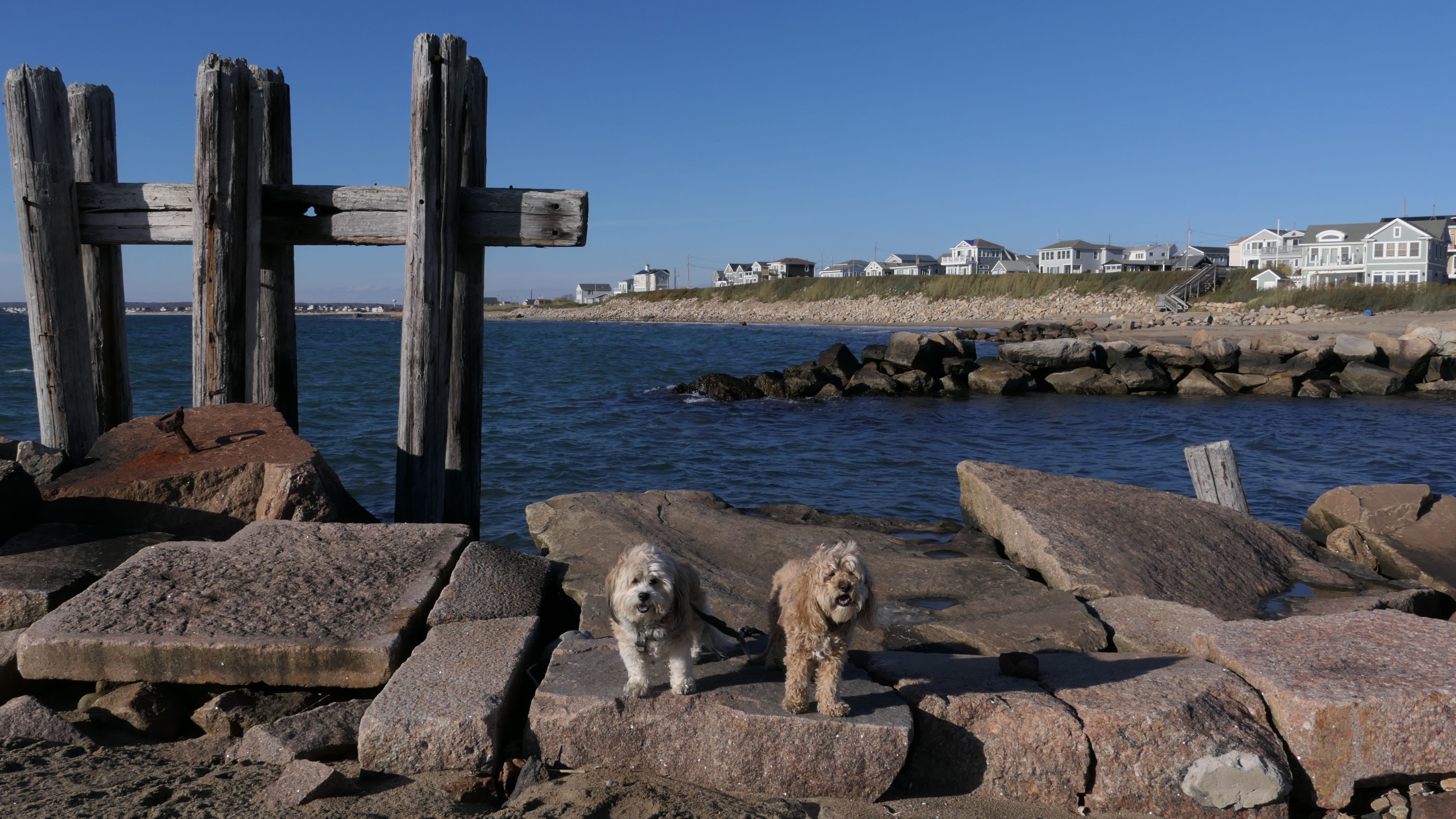
Ocean Road Shoreline Access
Date visited: 12/27/2024
This is the rocky section of shoreline that can be accessed from State Pier #5. Instead of heading north along the seawall, we first headed south on the rocks between the pier and Hazard Rock Shoreline Access. There was a four tenths of a mile gap of shore line we had not walked here, and we covered almost all of it on this trip. The journey required us to walk on the rocks, some of which was very challenging. It's not a walk I would recommend, and probably something we should not have done! Besides the uneven rocks, and the usual slippery mossy sections, some of the rocks were ice covered as well. While the walk was difficult, it did make for some nice photos! Mandy and Lexi are used to climbing on these kind of rocks these days, but I was lucky to stay upright for the journey! I wanted to make it to Hazard Rock Shoreline Access, but we came up a little short, as the terrain just became too difficult for us to make it safely, so we had to turn around and head back. After that, we walked up the Seawall Walk to the gazebo area by Narragansett Pier, before calling it a day.
More Images
Domenic Cristofaro Memorial Park
Date visited: 1/10/2025
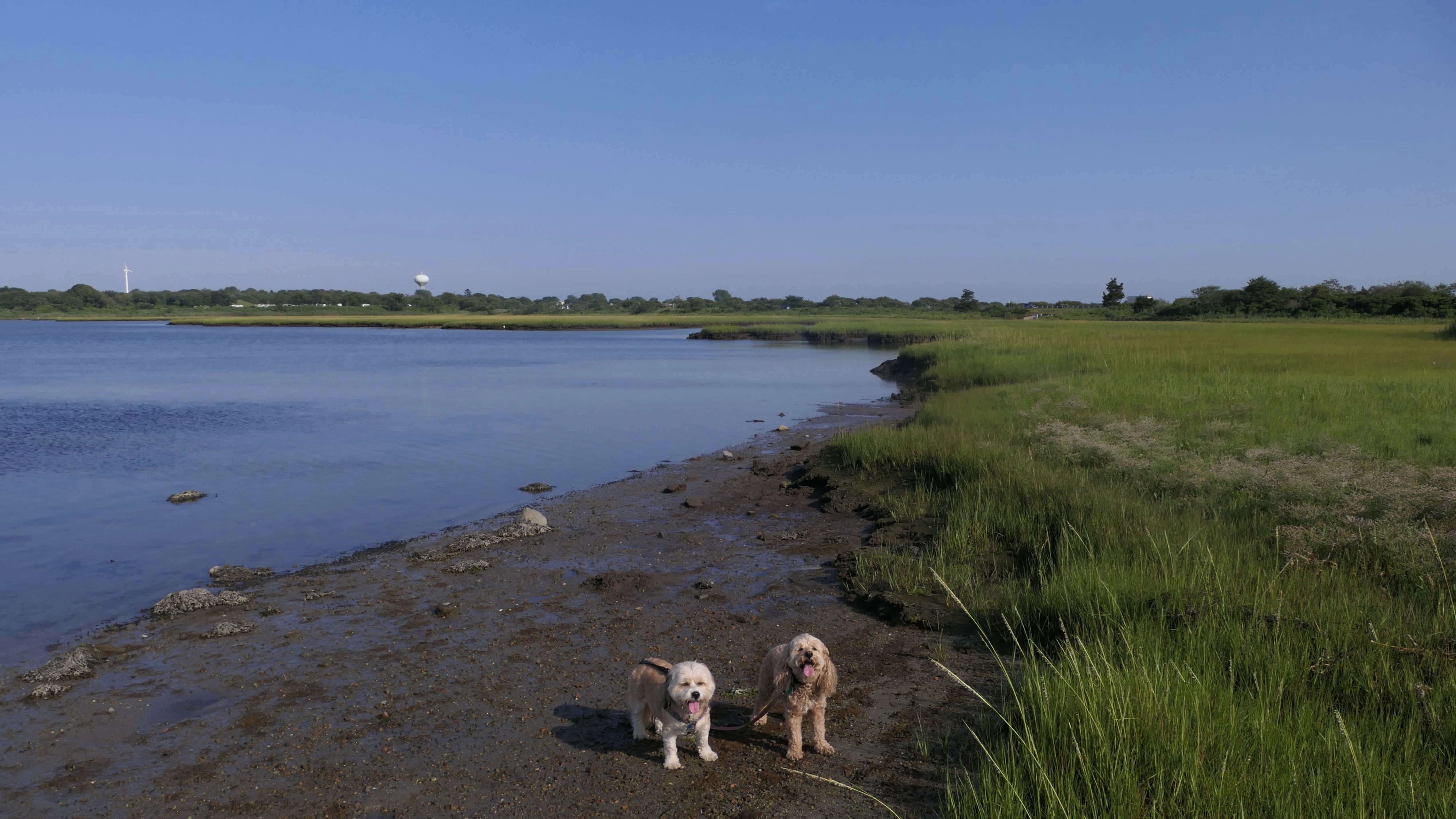
This is a town park in the Bonnet Shores neighborhood of Narragansett. There's not a lot for dogs here. The pups are not allowed on the athletic fields or the playgrounds. I didn't see any trails, but you could walk along the perimeter of the park. One thing the park had that was surprising, was a real indoor rest room. Not only was it open, it was also clean and heated as well! That's very impressive for a town park, especially on a weekday in the middle of January! In all fairness, I knew there wasn't much here. We basically parked here for our nearly six mile walk through the Bonnet Shores neighborhood. From here we headed south on Boston Neck Road, and then east on Bonnet Shore Road, where our first stop was the Wesquage Pond Wildlife Refuge.
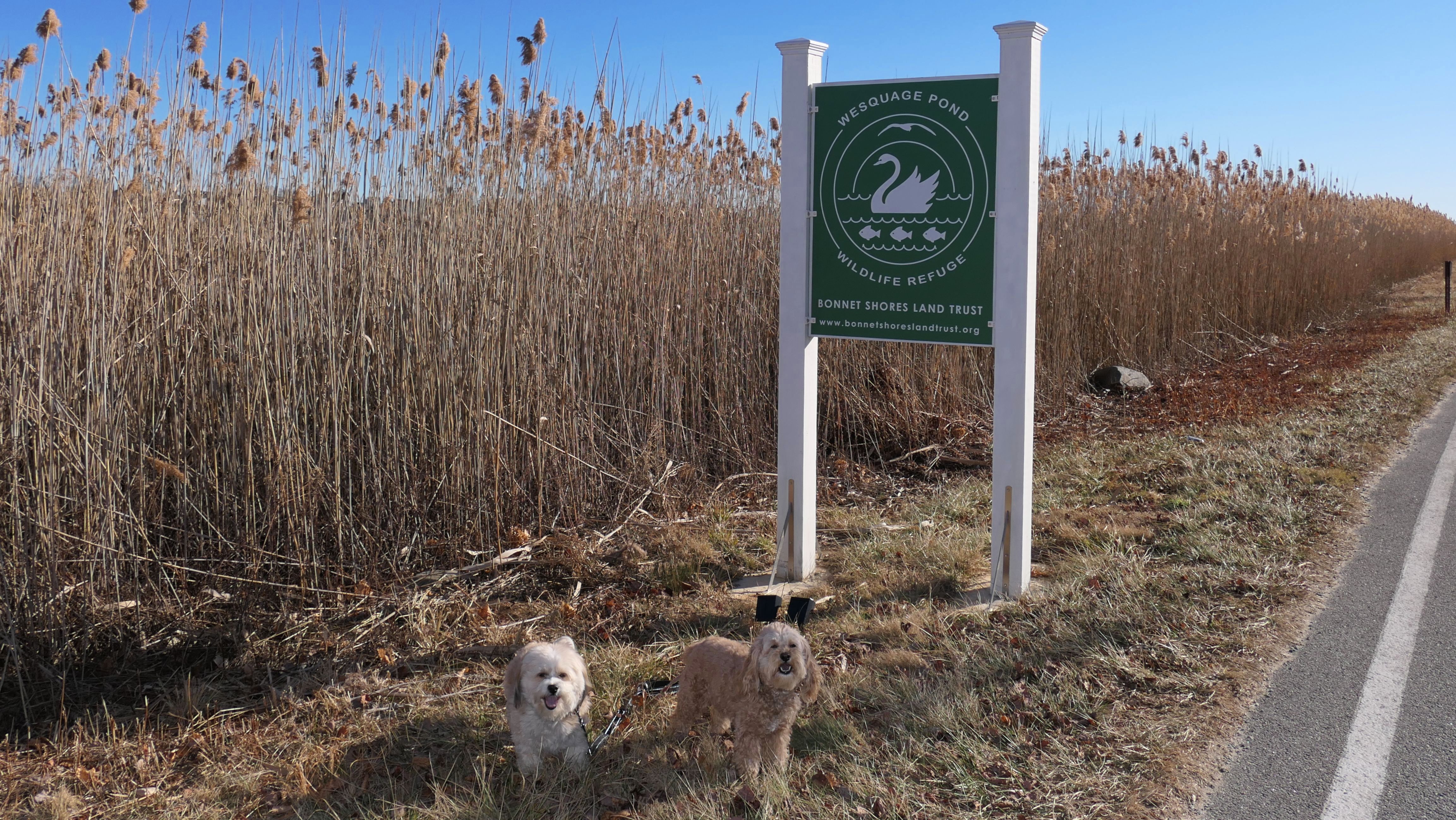
Wesquage Pond Wildlife Refuge
Date visited: 1/10/2025
This was our second stop on our Bonnet Shores adventure. The refuge doesn't have much public access. We basically walked along Bonnet Point Road until we came to the short trail near the small stream that links the pond to the shoreline. On the other side of the road from that trail, is a trail that leads to Bonnet Shores Beach, where we headed next.
More Images
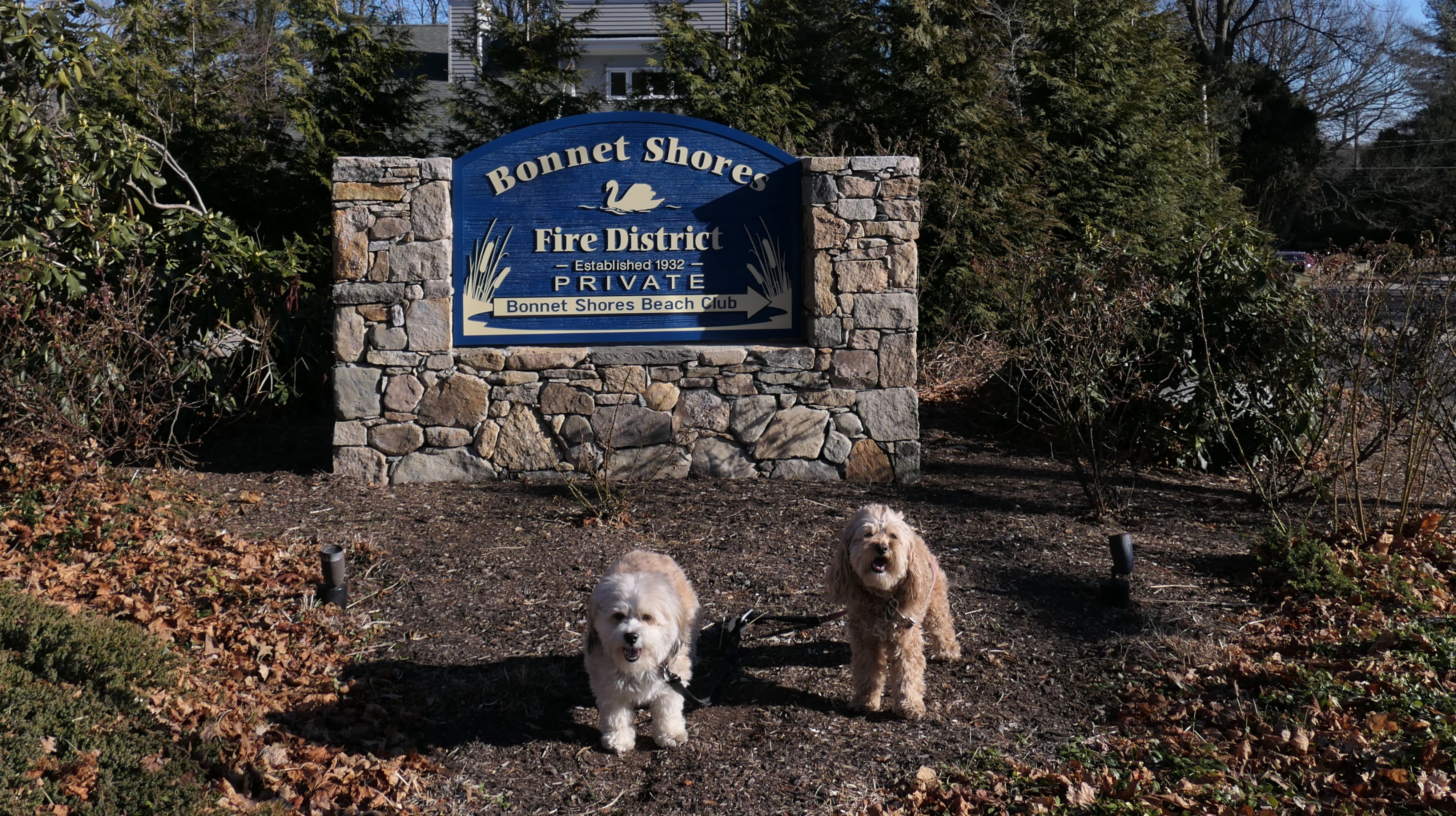
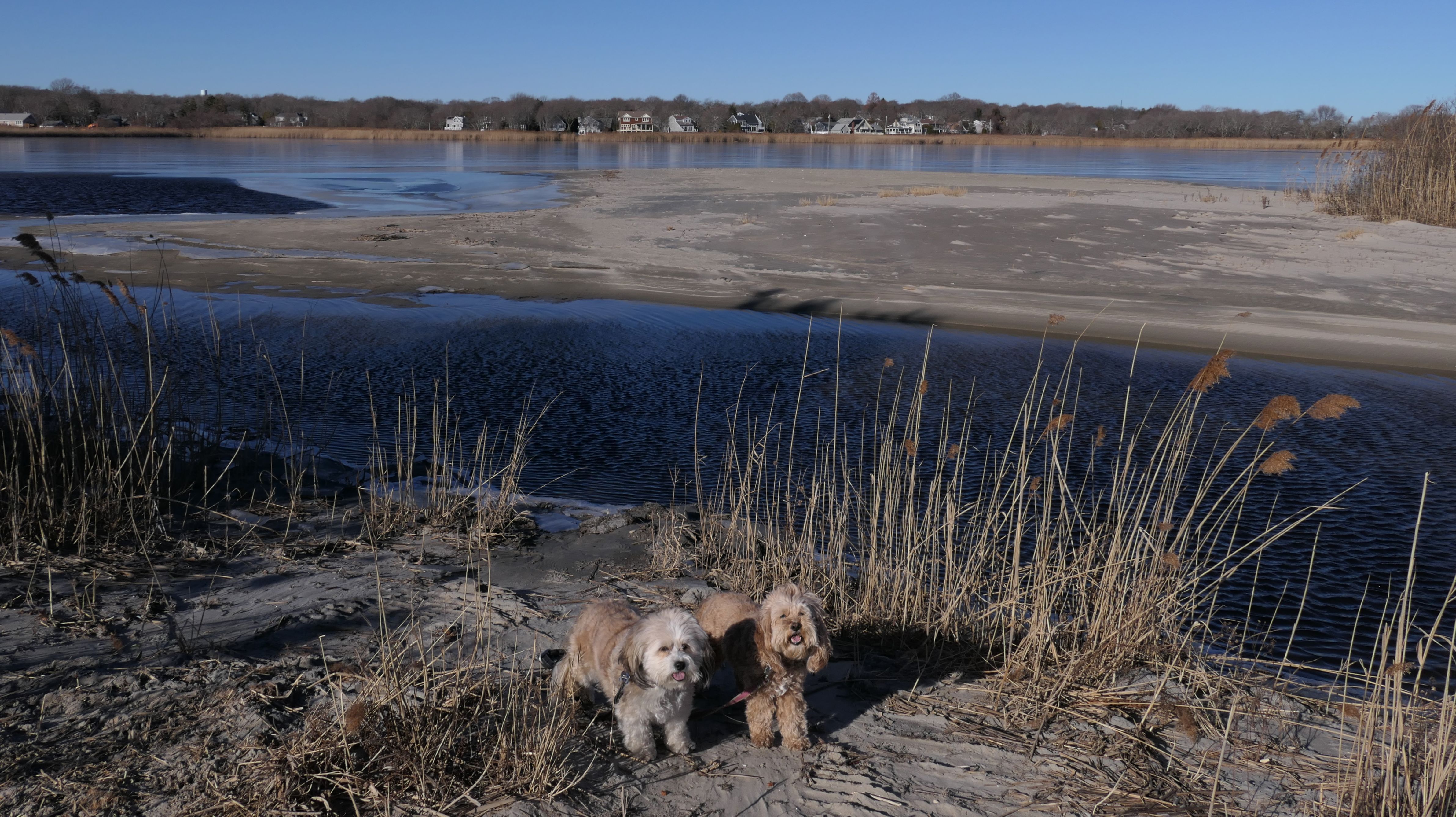
Bonnet Shores Beach
Date visited: 1/10/2025
This is a private beach for the Bonnet Shores Beach Club, well about as private as beaches get in Rhode Island. This was the main stop on our Bonnet Shores adventure, and since there is no public parking anywhere in the neighborhood, we parked a little over two miles away at Domenic Cristofaro Memorial Park and walked here. This area of Narragansett is definitely not for tourists. This beach is for the locals, and they want to keep riff-raff like us away! That being said, there is an access path on Bonnet Point Road, a short distance from the club's private parking area that leads to the beach. According the beach club's website, dogs are not allowed when the beach is officially open. It's the middle of January, so the beach was definitely not officially open. It's a nice beach with good sand, and mild waves. There's a cool rocky area on the west end of the beach which made for some nice photos. We headed to Kelly Beach next.
More Images
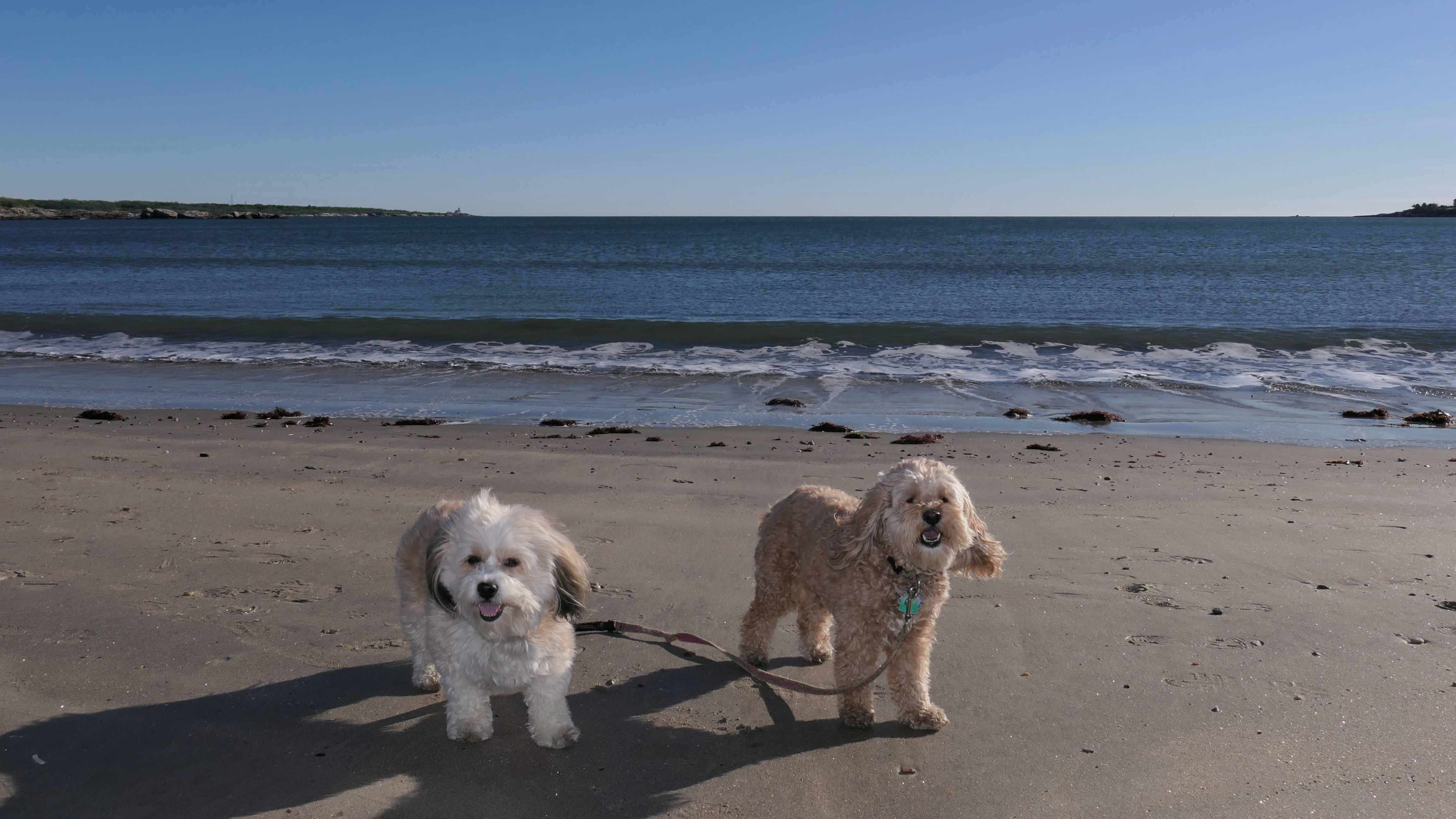
Kelly Beach
Date visited: 1/10/2025
This is another private beach in the Bonnet Shores neighborhood. Like Bonnet Shores Beach, there is no public parking area. We took an access path from Bonnet Point Road on the other side of the stream that separates the two beaches. This beach is smaller than the main Bonnet Shores beach, and the east end had a fair amount of seaweed build up. From here, we continued our Bonnet Shores adventure, walking through the neighborhood on some side streets until we reached the area known as Little Beach.
More Images
Little Beach
Date visited: 1/10/2025
This was the last stop on our tour of the Bonnet Shores Neighborhood. The beach is appropriately named, as it's on the "little" side. The narrow beach runs along side Colonel John Gardner Road, and also features a small boat launch. There are some benches between the road and the shore line. It's a scenic spot, with views of the RV Endeavor, docked nearby at the University of Rhode Island's Narragansett Bay Campus, as well as both the Jamestown and Newport bridges. We stopped for a break on the benches, before heading back to Domenic Cristofaro Park where we started off the adventure. We walked 5.8 miles in the process!
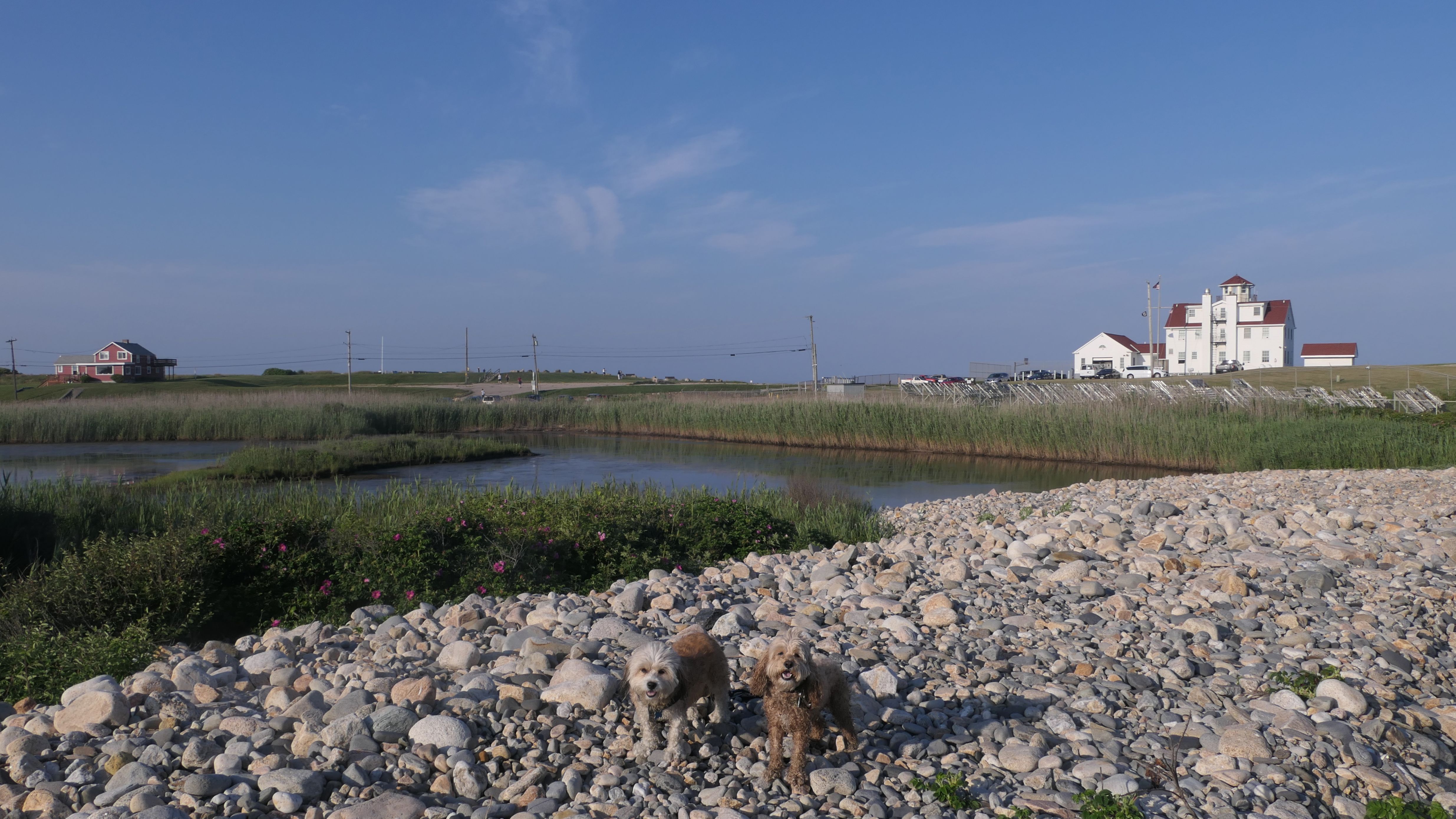
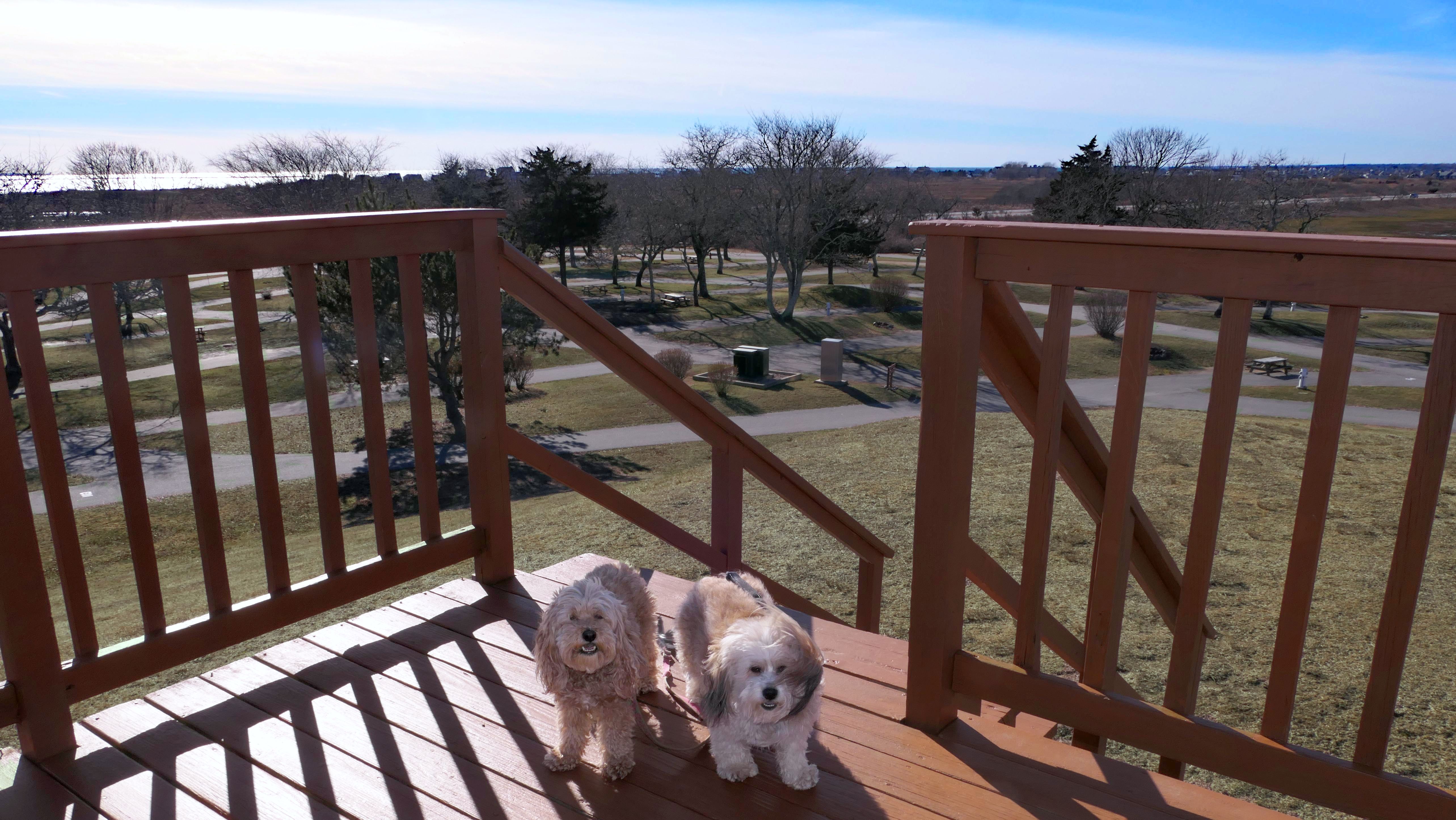
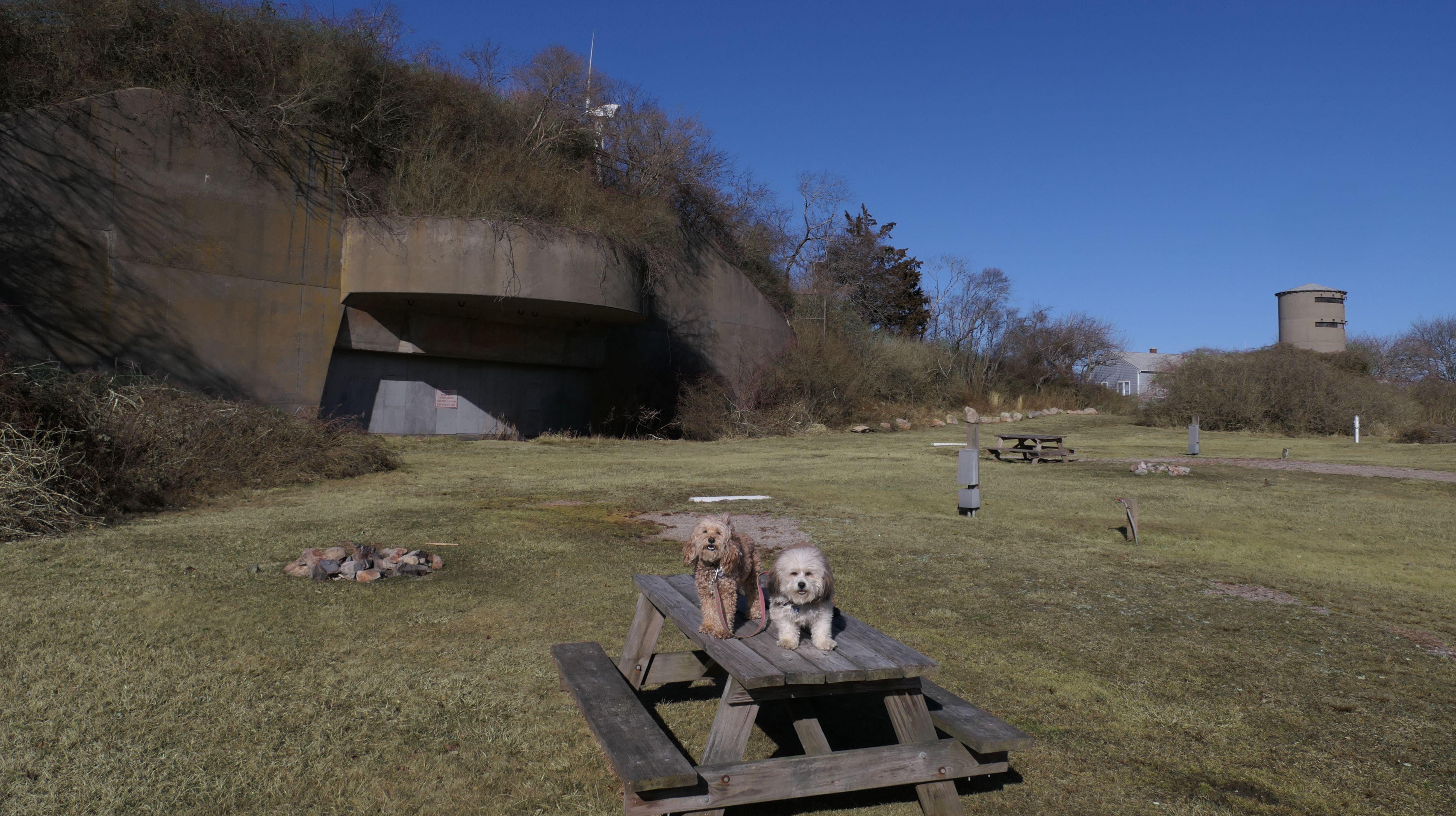
Fishermen's Memorial State Park & Campground
Date visited: 2/5/2025
We tried to visit here once in the summer but were turned away at the gate. We were told that the park was for camping only, and I couldn't come here just to take the dogs for a walk. For this visit, the campground was closed because it was the middle of winter, so we were able to check out the place. The park is located at the site of Fort Greene, and old military fort. Remnants of the fort still exist. (The other portion of the old fort is located nearby at Camp Cronin). Other than the short trail that leads to the top of an old cannon battery mount, most of the park is dedicated to camping activities. The individual sites are small, and close together, so it doesn't like the campground offers much in the way of privacy. Point Judith Pond can be accessed from the west side of the park. There is an observation platforms with views of the shoreline as well. It's really not that scenic of a spot, at least this time of the year. We circled the entire park, walking for just about two miles total.
More Images
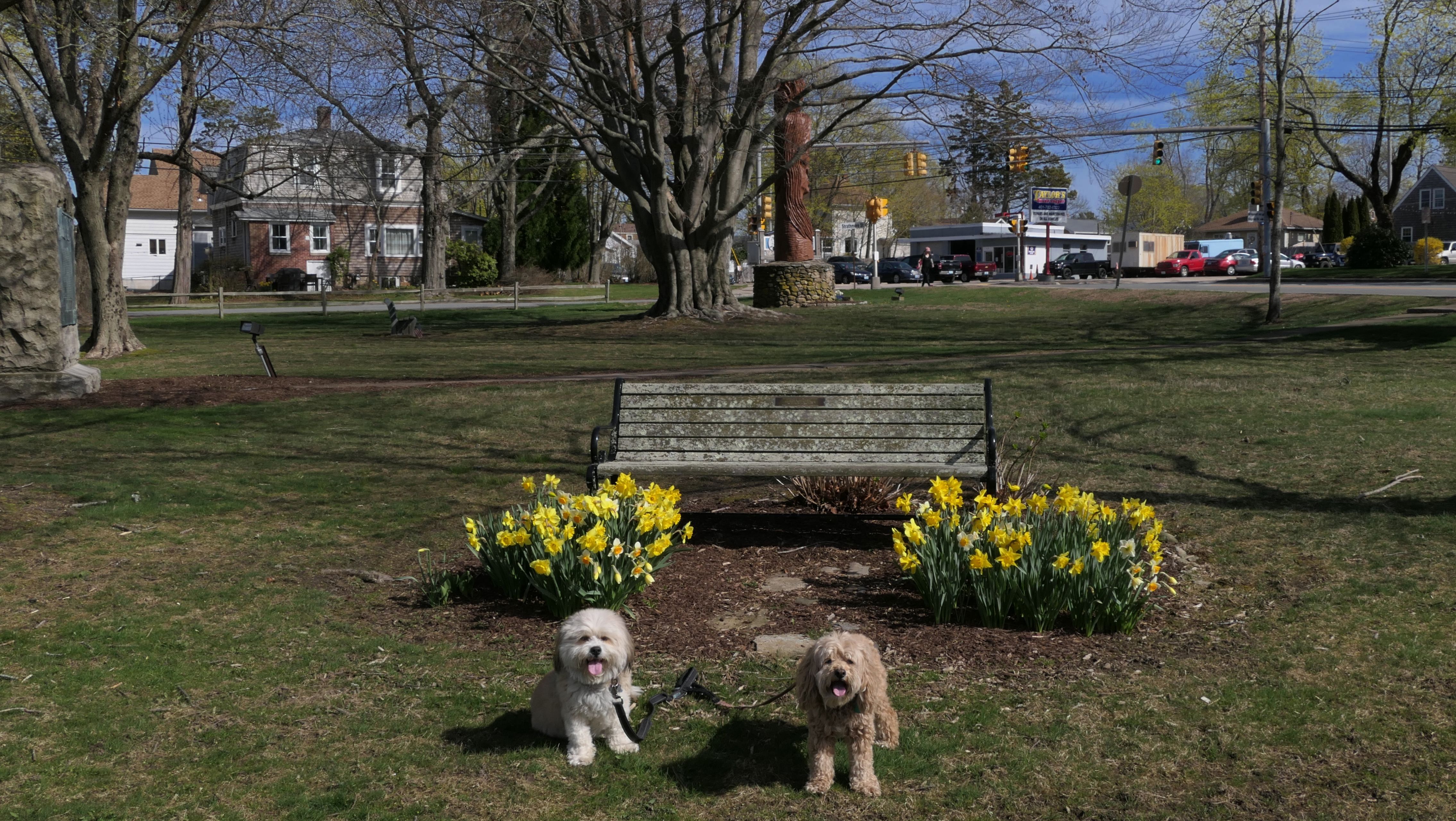
Central Street Historic District
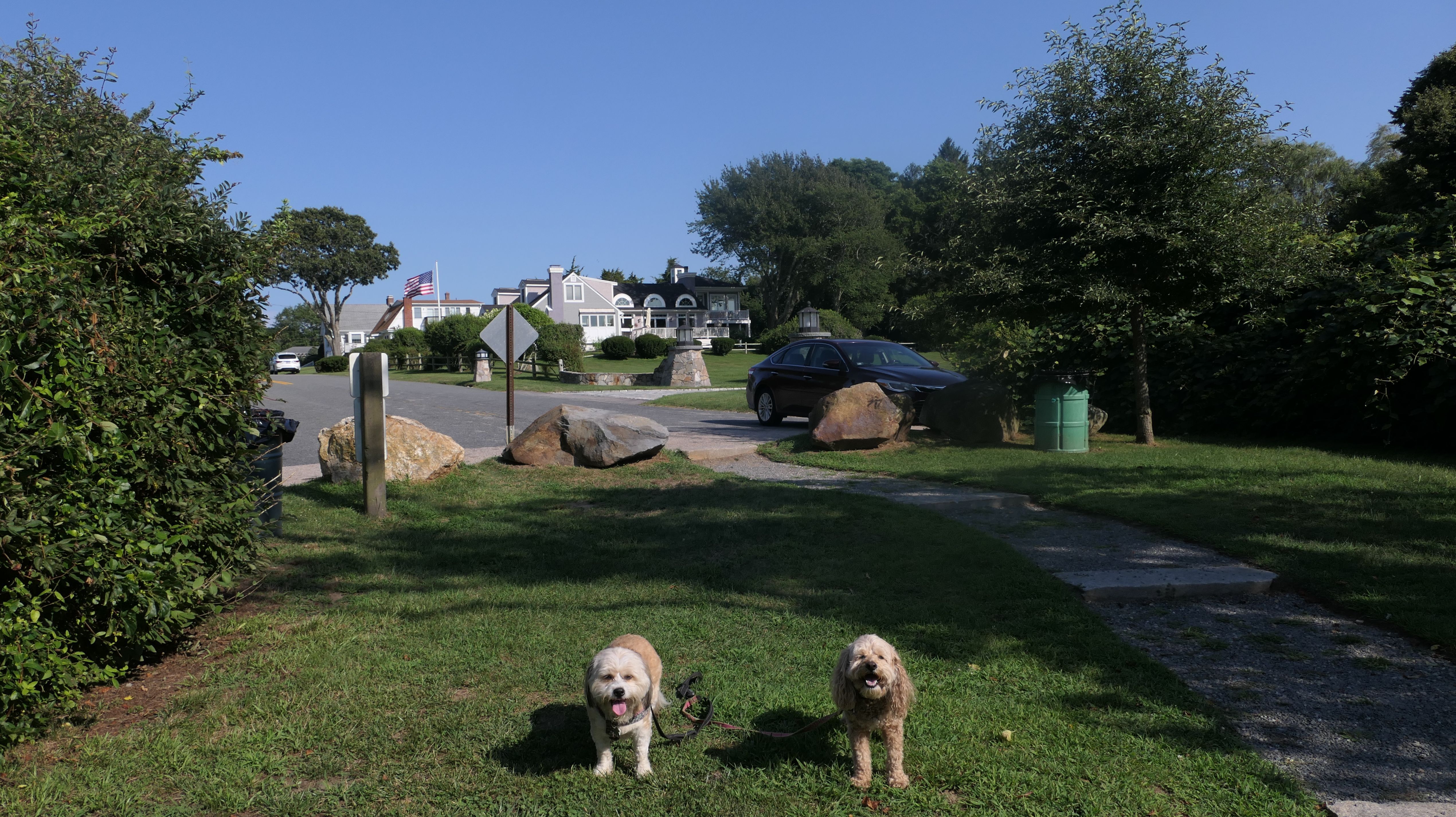
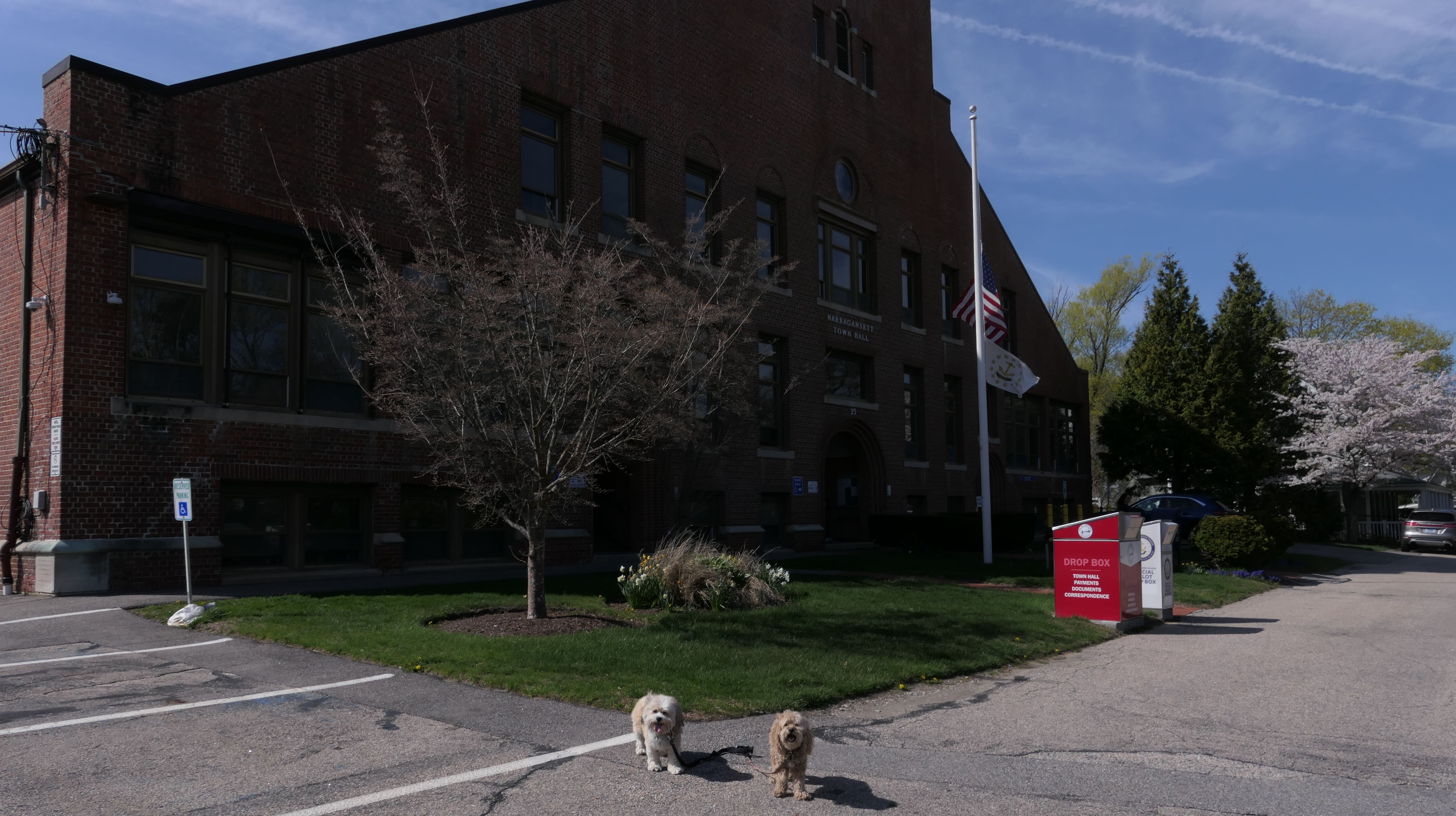
Date visited: 4/23/2025
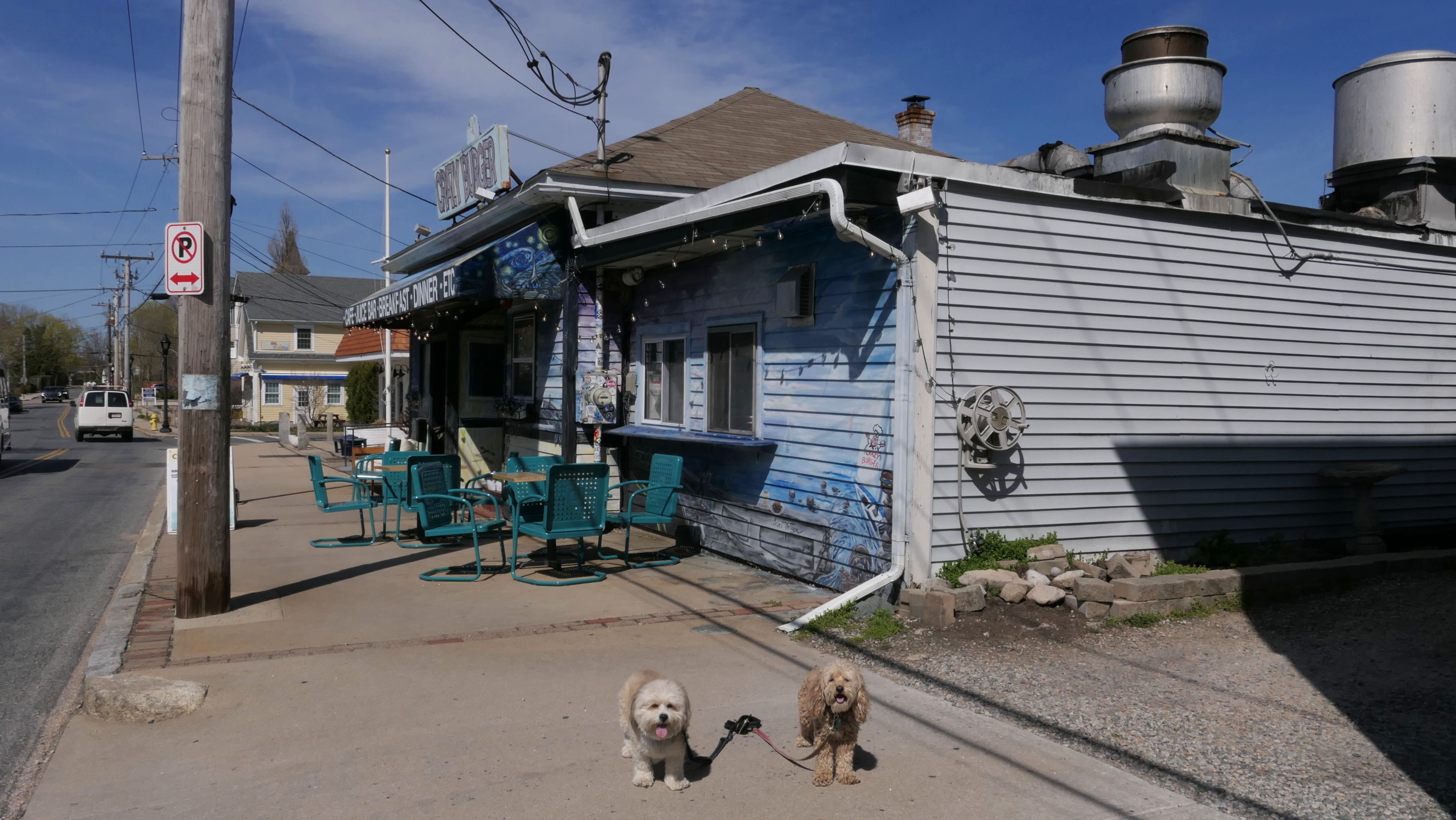
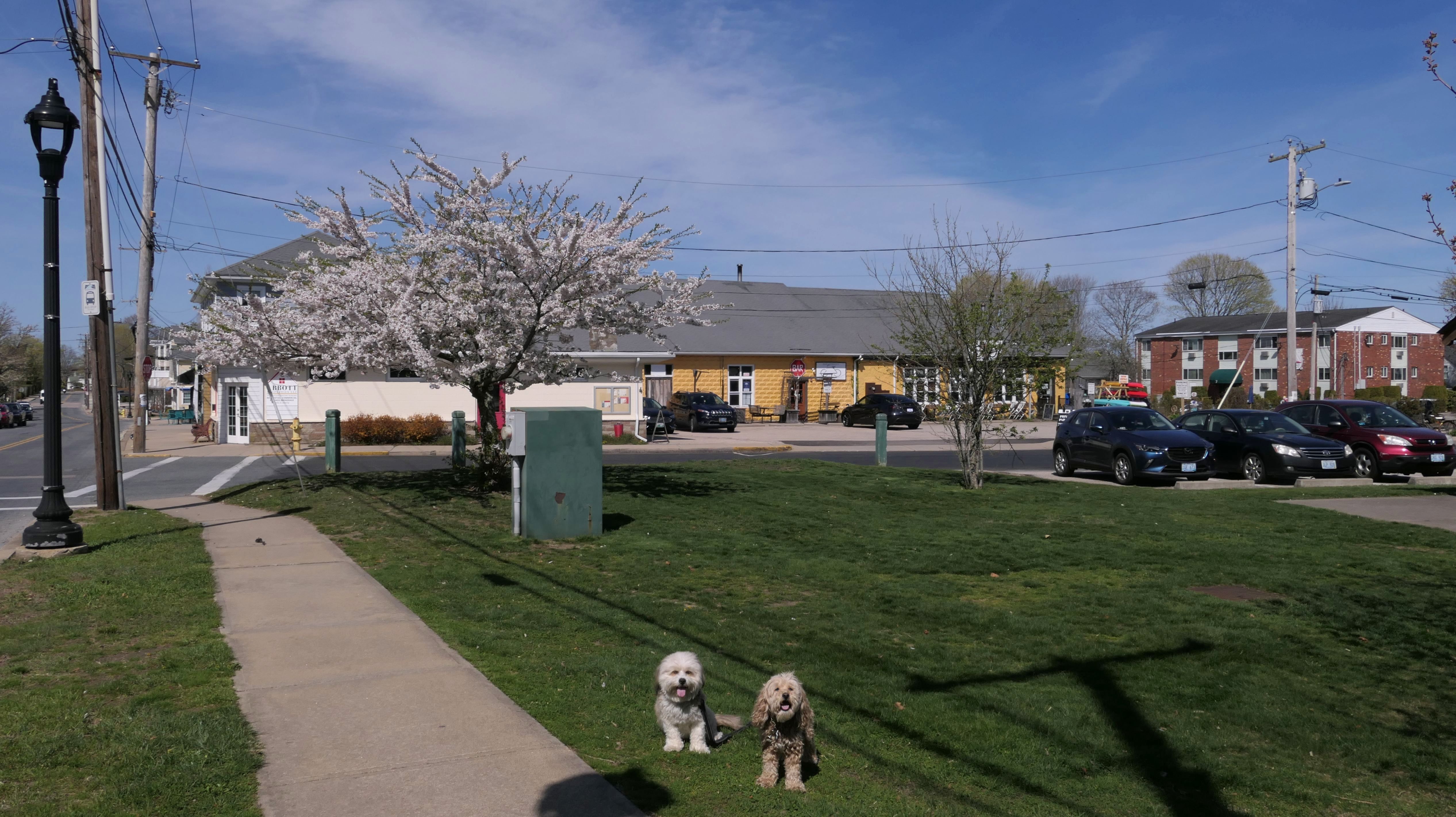
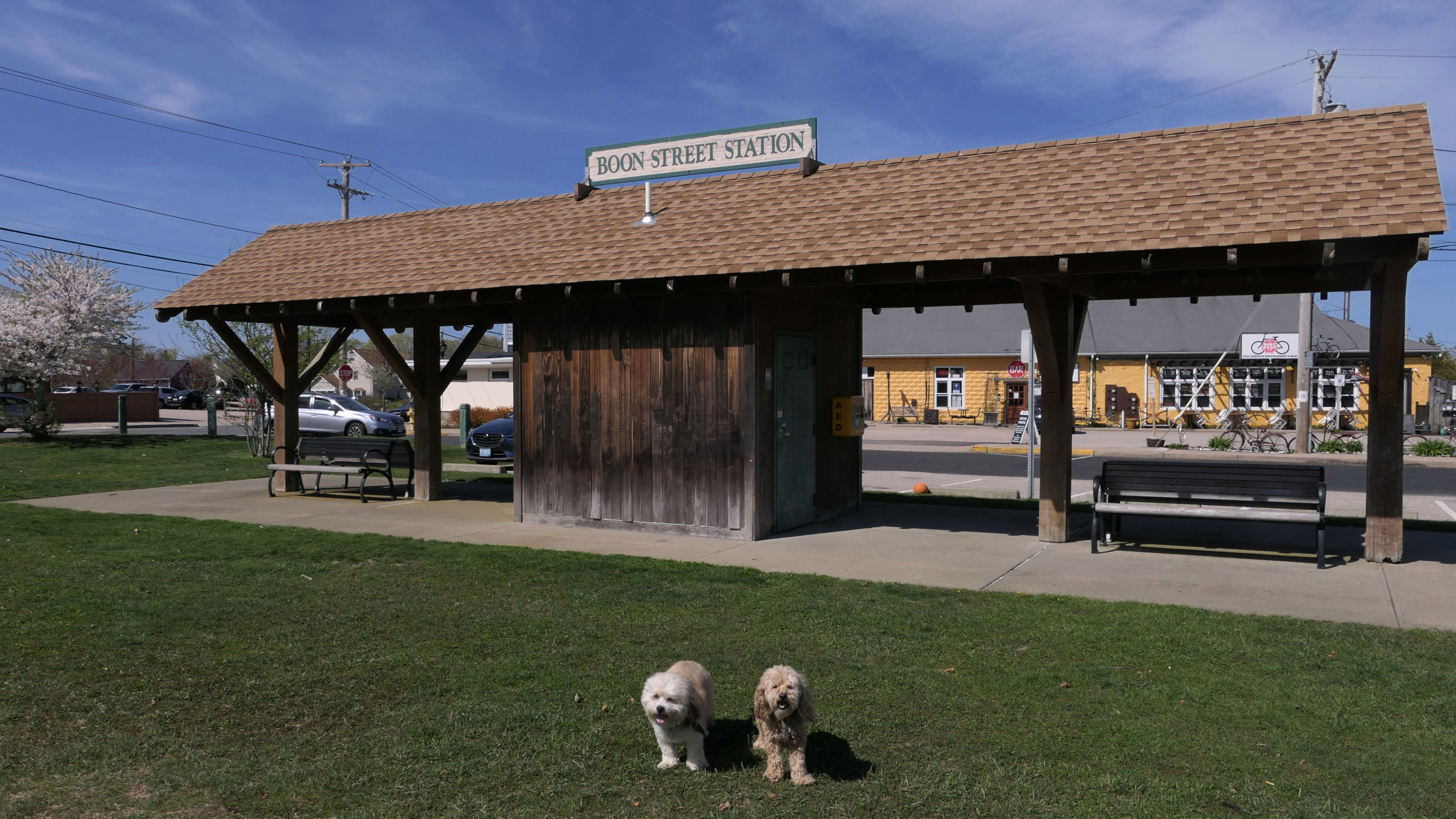
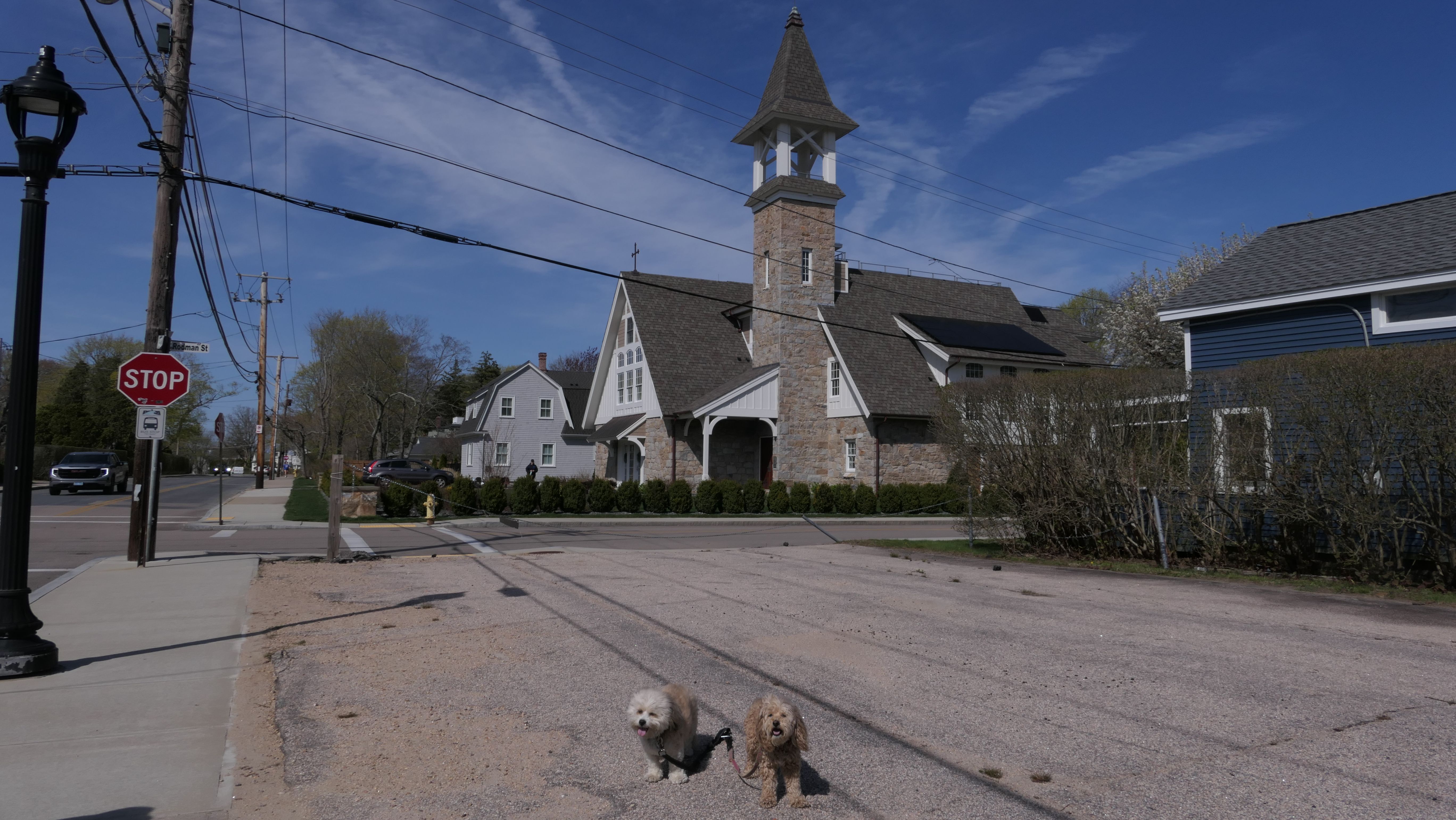
This is a National Historic District along Central and Boon Streets. It's about a block away from the Ocean Road and the Narragansett Pier Seawall. We hadn't walked through here before, so it was nice exploring somewhere new in town. There are historic houses and churches along Boon Street, as well as a playground and a few small shops and restaurants. One of the restaurants, "Crazy Burger" is being featured in a new Gordon Ramsay show. We also walked down Central Street to the Town Hall. Beyond the Town Hall is a short bike path that leads to Narragansett High School (which is technically outside of the historic district). The path also leads to Prospect Avenue, which led us to Sprague Park, where we headed next.
More Images
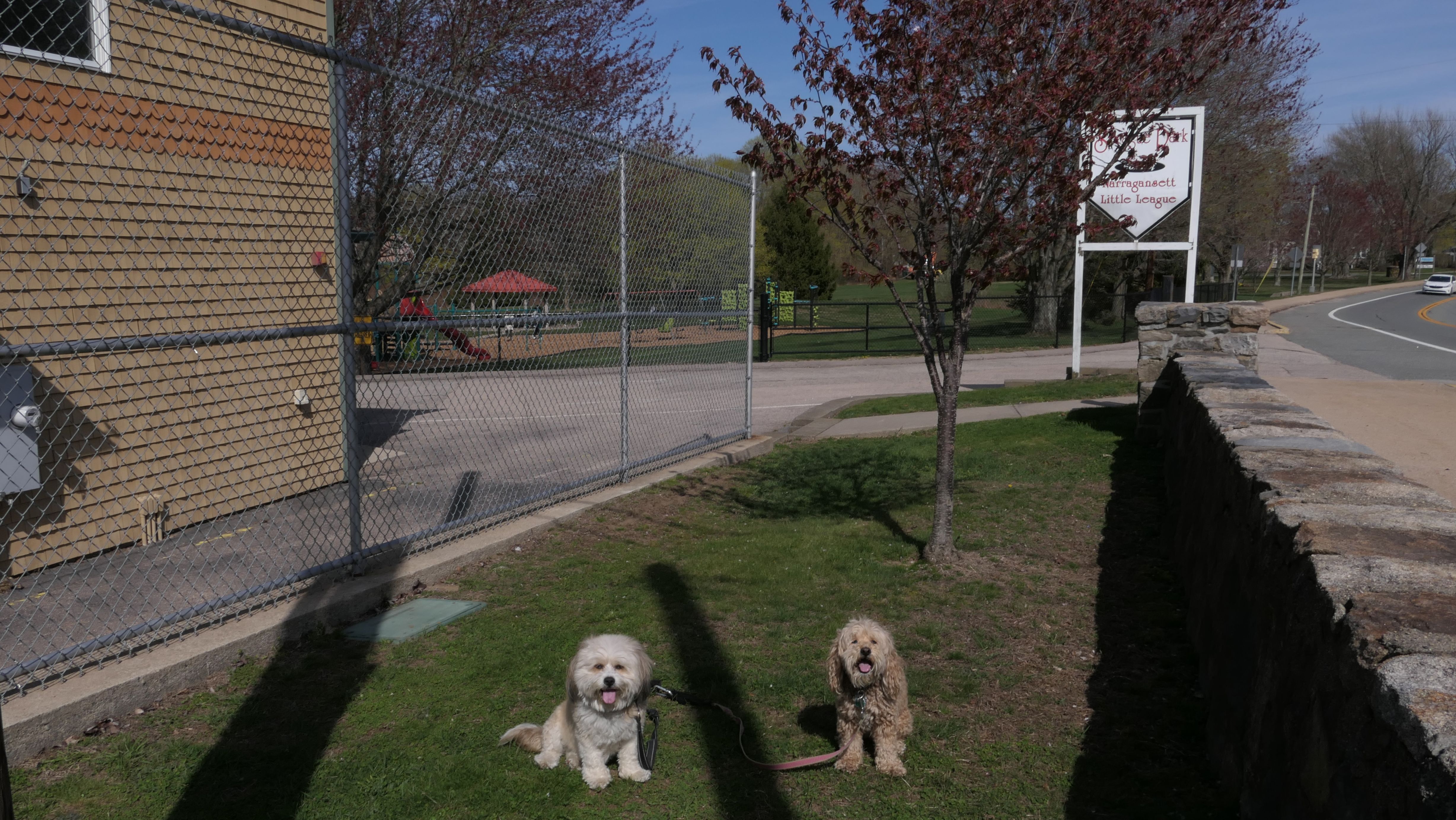
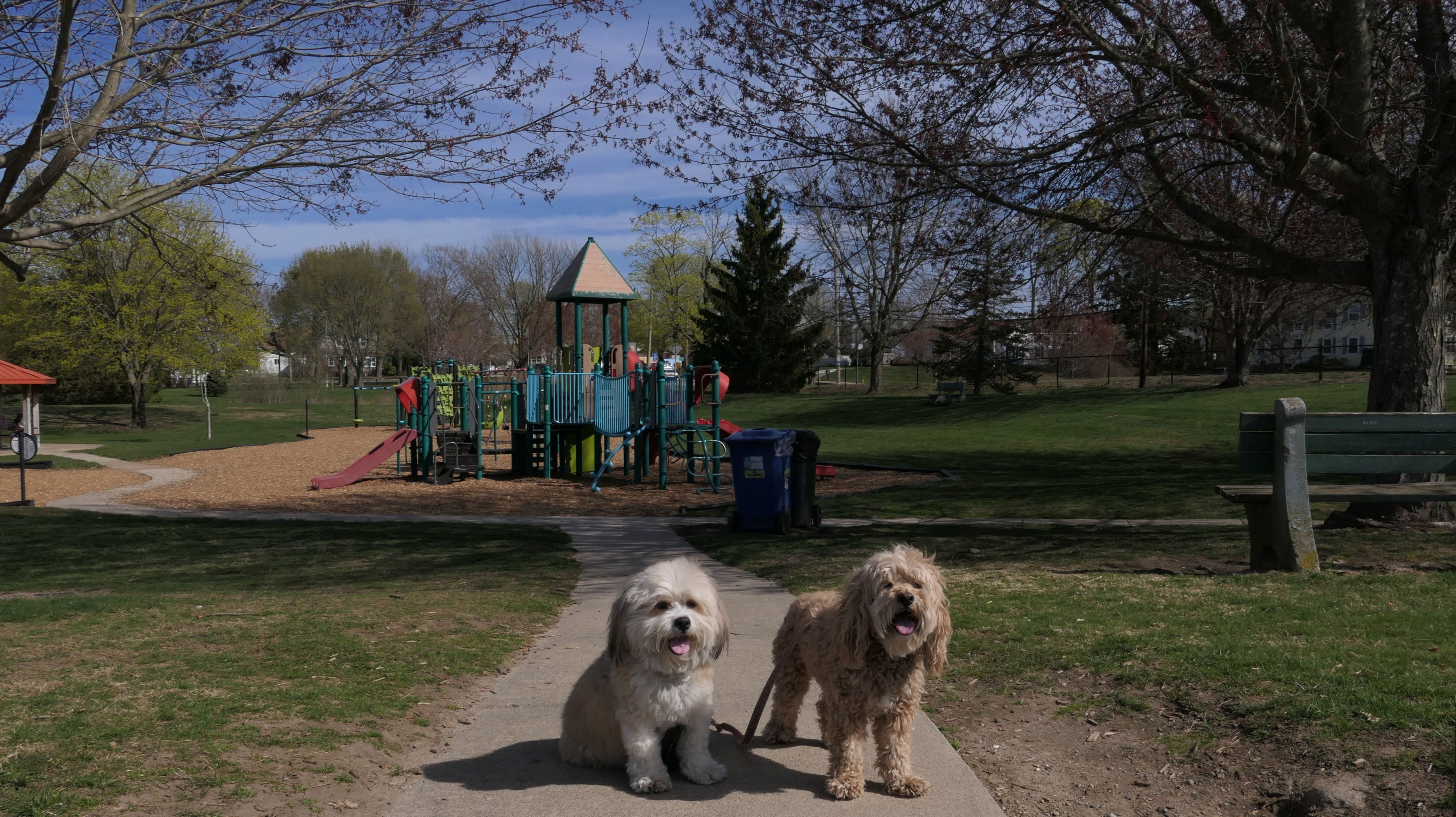
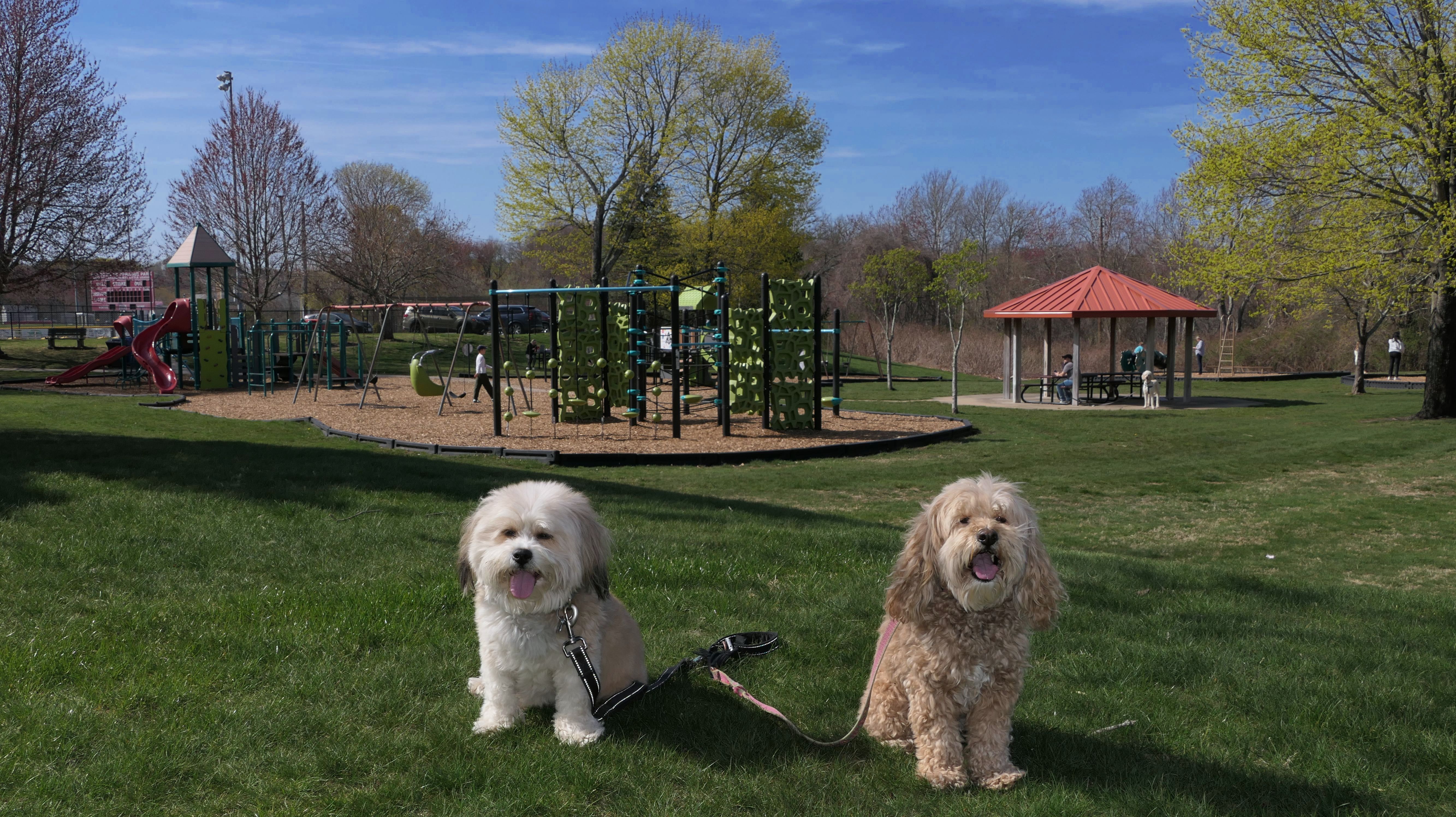
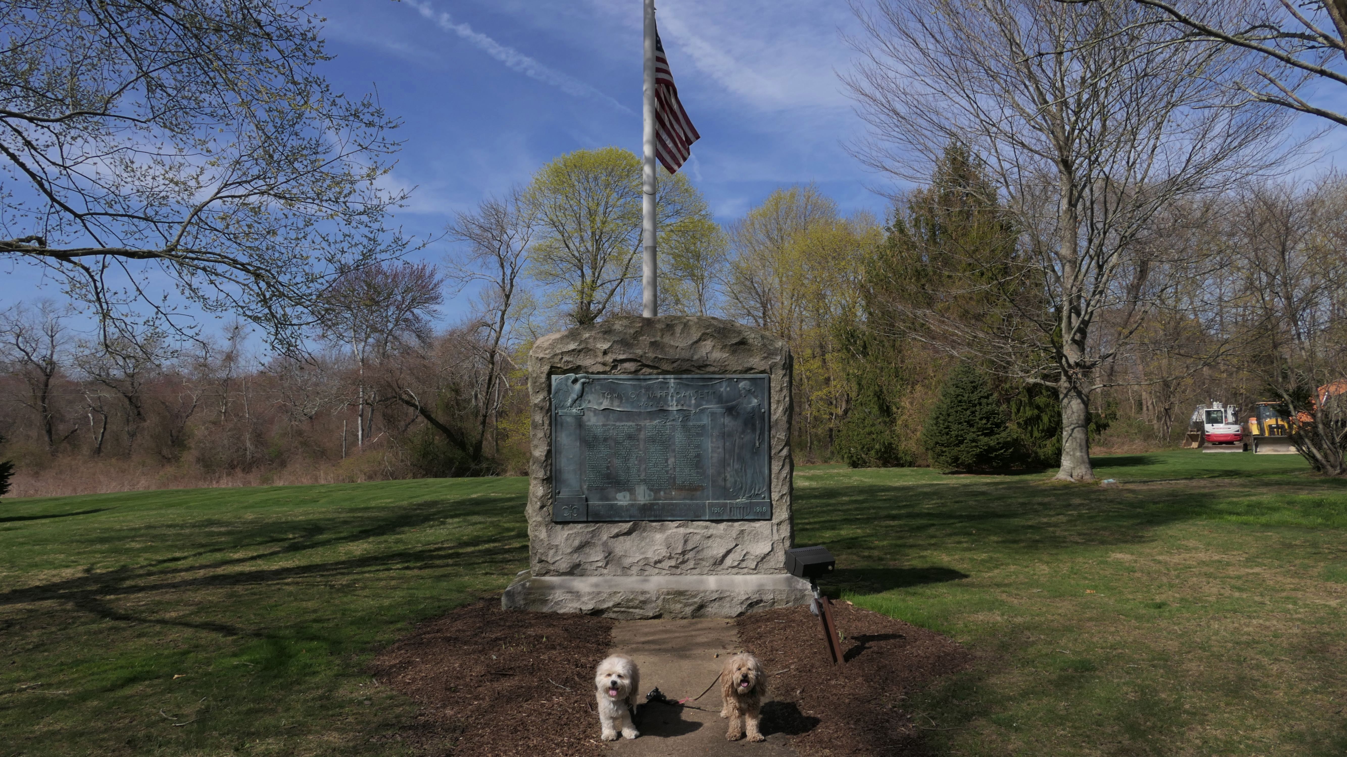
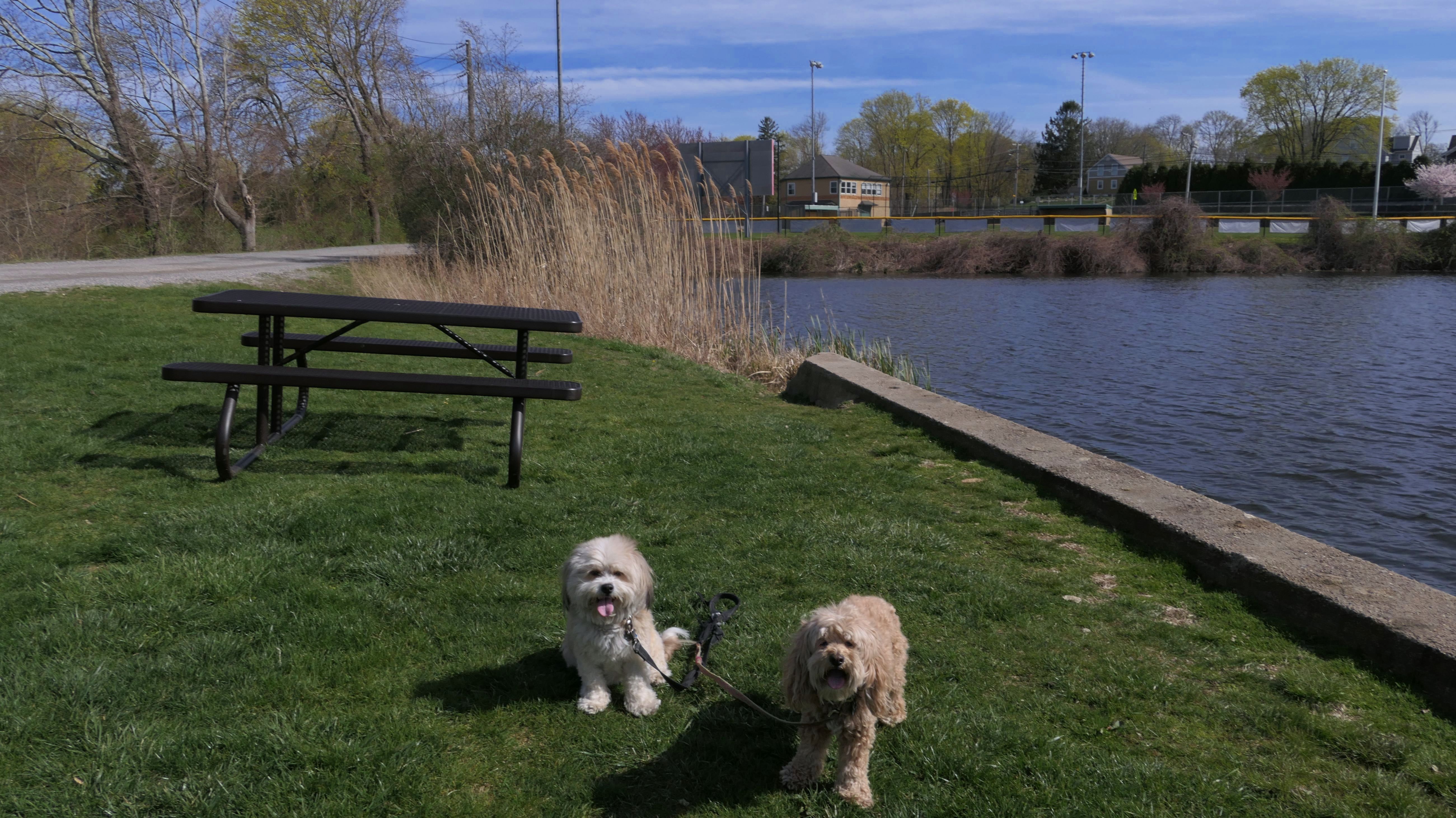
Sprague Park
Date visited: 4/23/2025
We visited this park after walking through the Central Street Historic District. The park features a little league field, a pond, and a playground. There is also a WWI monument, and of course the 23 foot Narragansett Indian statue, carved by Peter Toth in 1982. After this, we headed down Narragansett Avenue and back to the beach, where we started our adventure.
More Images
Narragansett Avenue Historic District
Date visited: 4/23/2025
This is another historic district near the Narragansett Pier section of town. It encompasses the area between Narragansett Avenue and Kingstown Road. We walked down Narragansett Avenue heading from Sprague Park, back to the beach where we started our adventure, completing a five and a half mile walk. We only took a couple of photos on this section of the adventure.

Harbor Island Trail
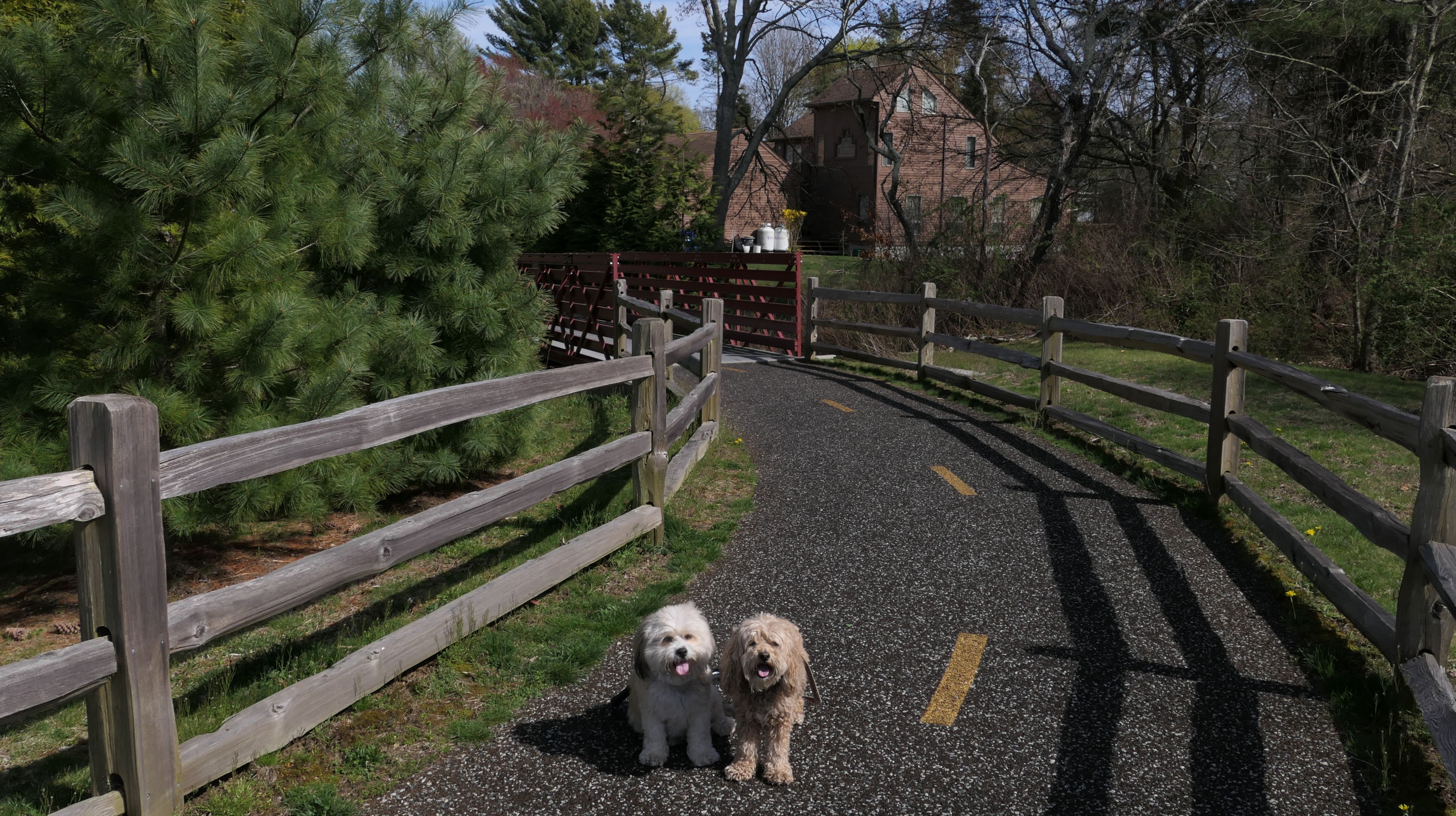
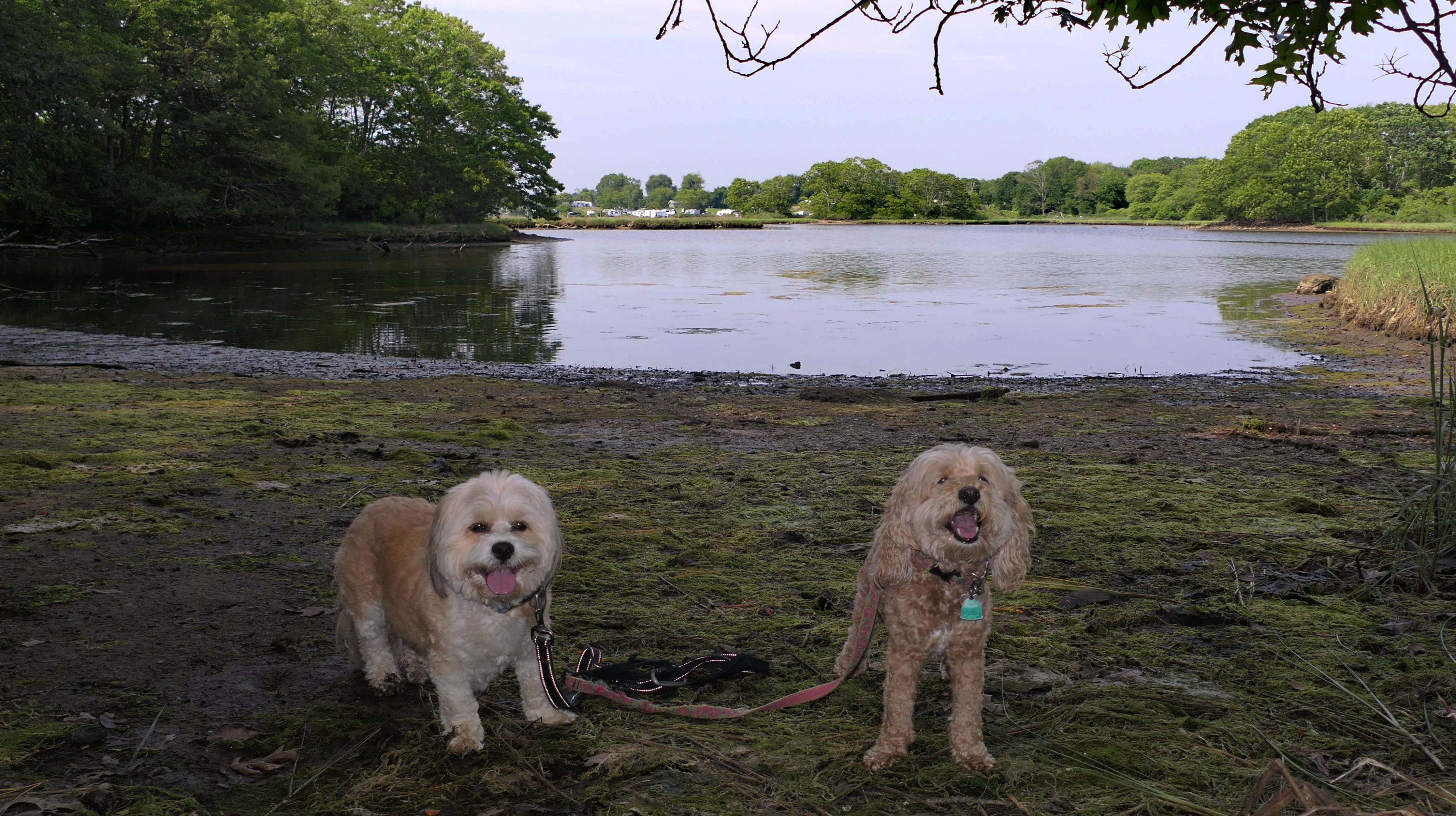
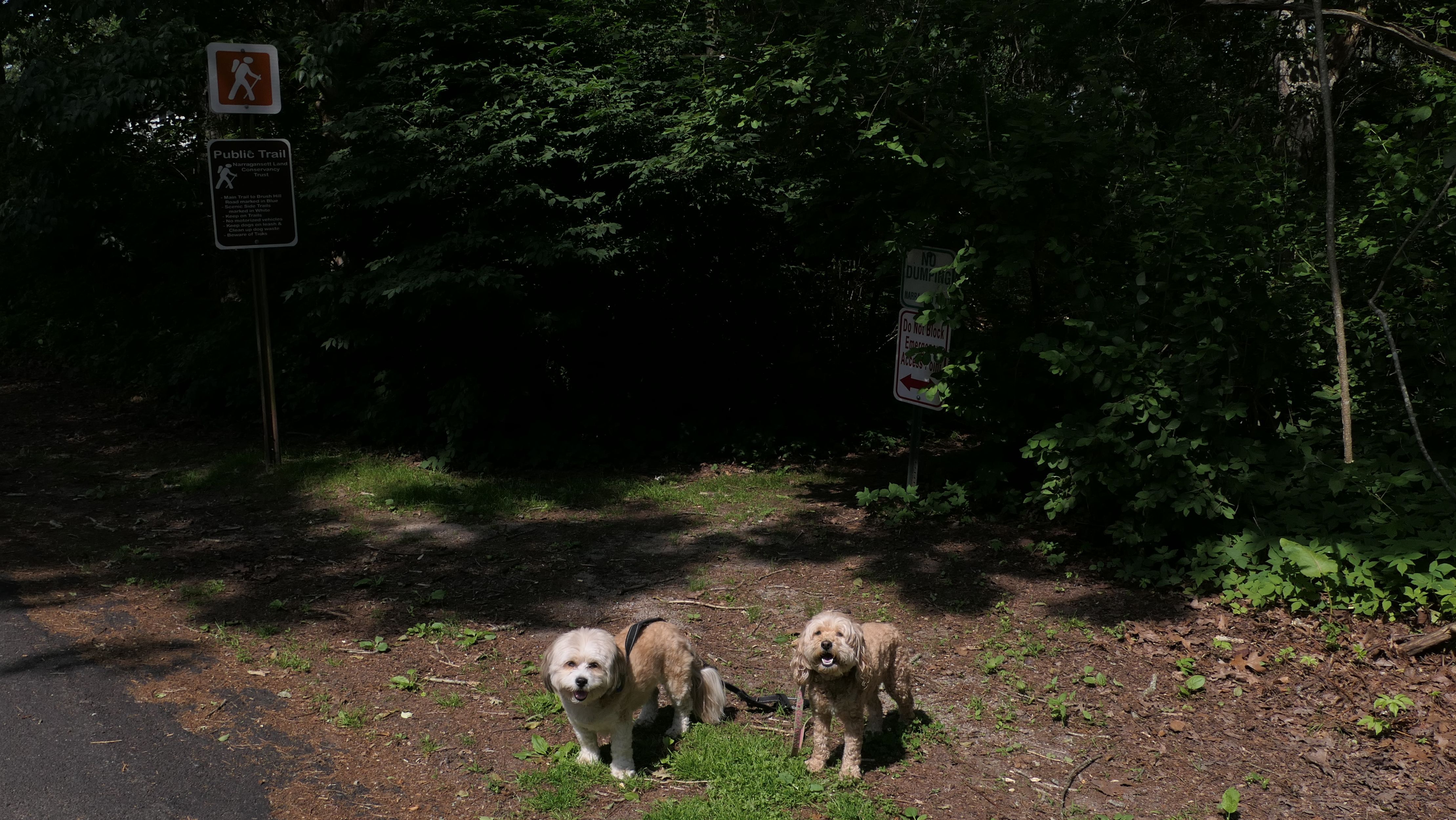
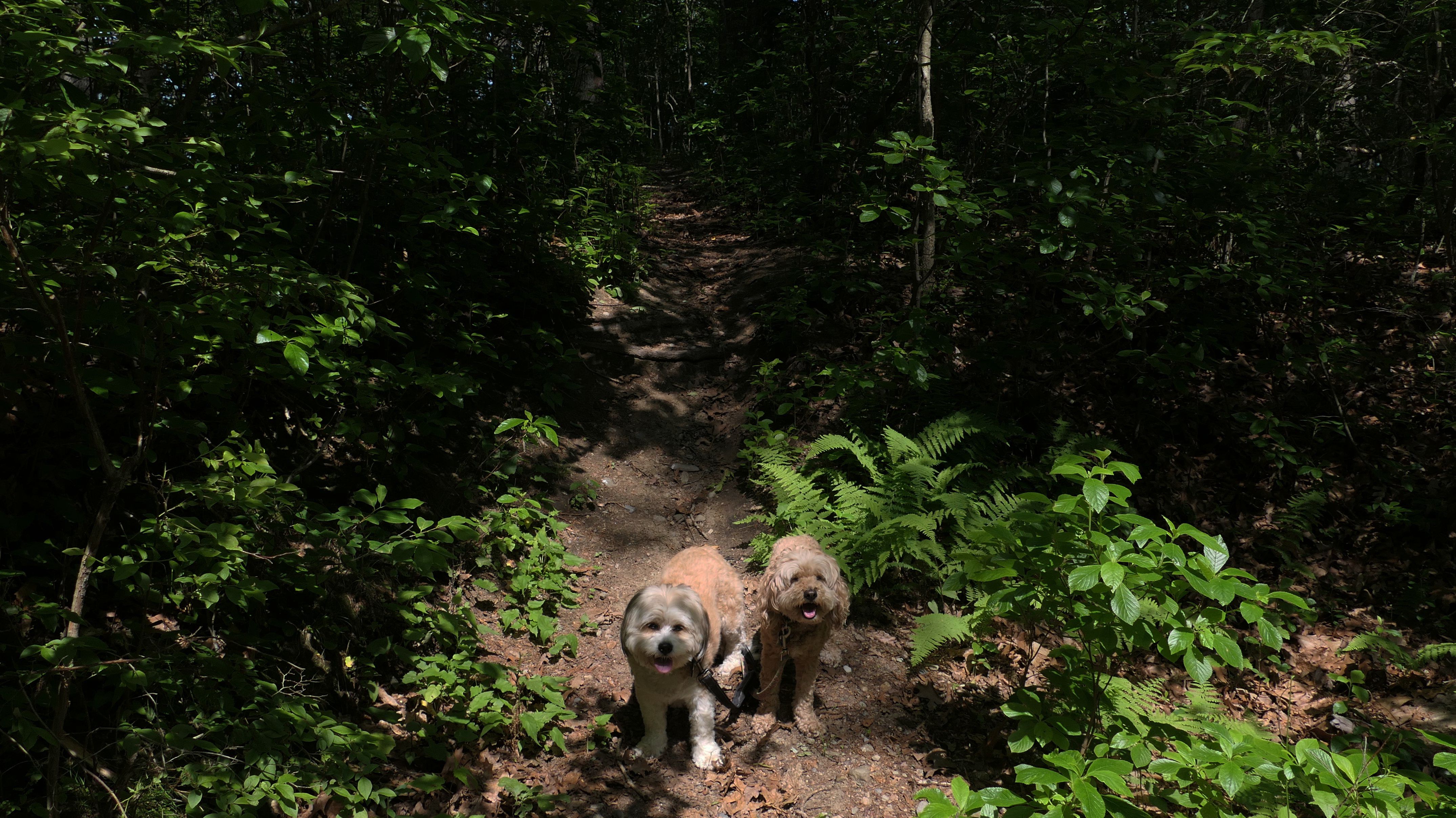
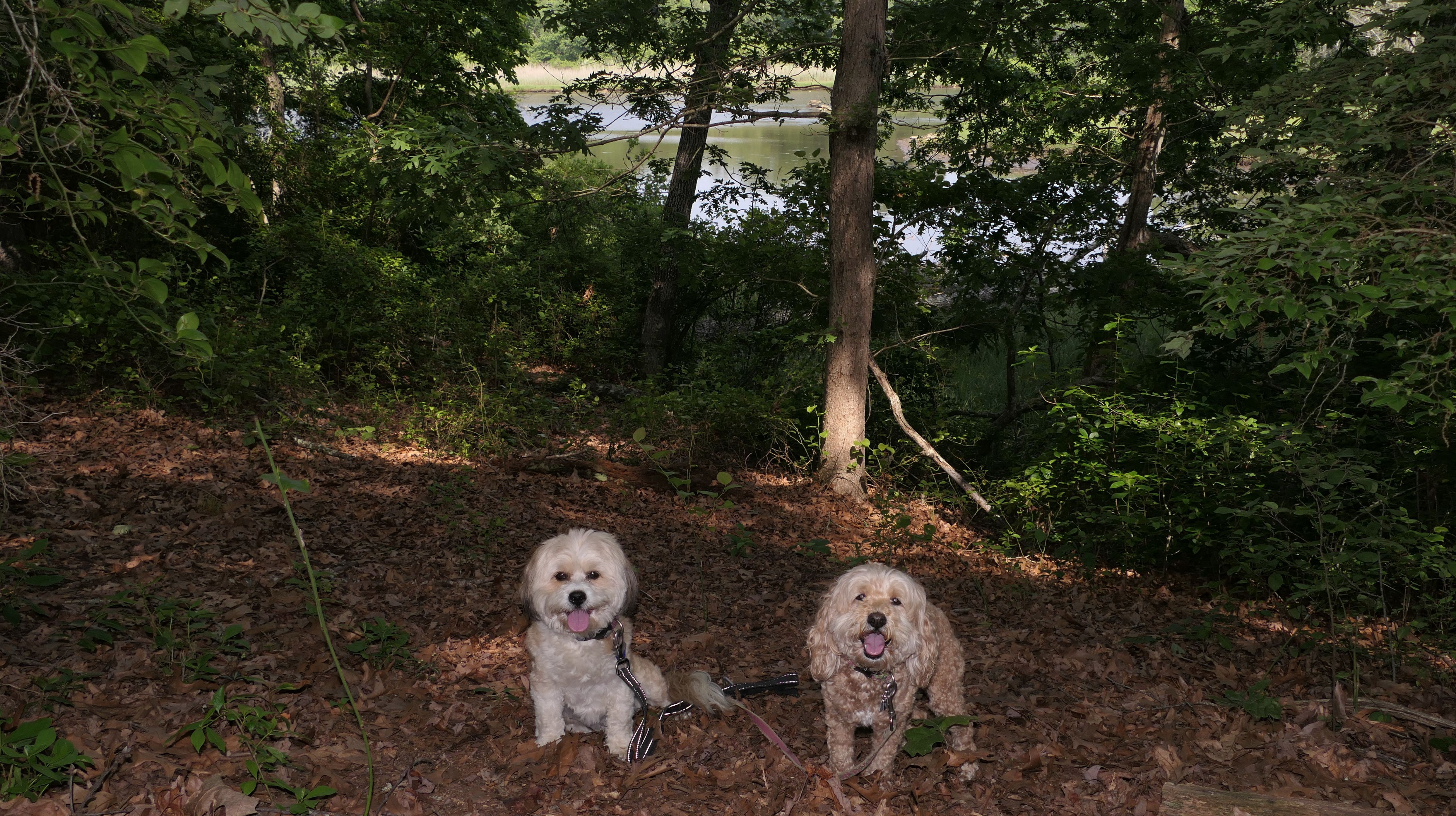
Date visited: 6/13/2025
This is a short Narragansett Land Trust trail that leads from Brush Hill Road to Foddering Farm Road. There's a main blue blazed trail, as well as some white blazed "scenic" loops. The white blazed trails were a bit overgrown. At one point there are wooden planks over a swamp, and one of the boards actually broke when I stepped on it. The body of water near the trail is "Long Cove", part of Point Judith salt pond. It's hard to see it beyond the trees, but one of the scenic loops gets pretty close. The whole thing out and back was about a mile.
More Images
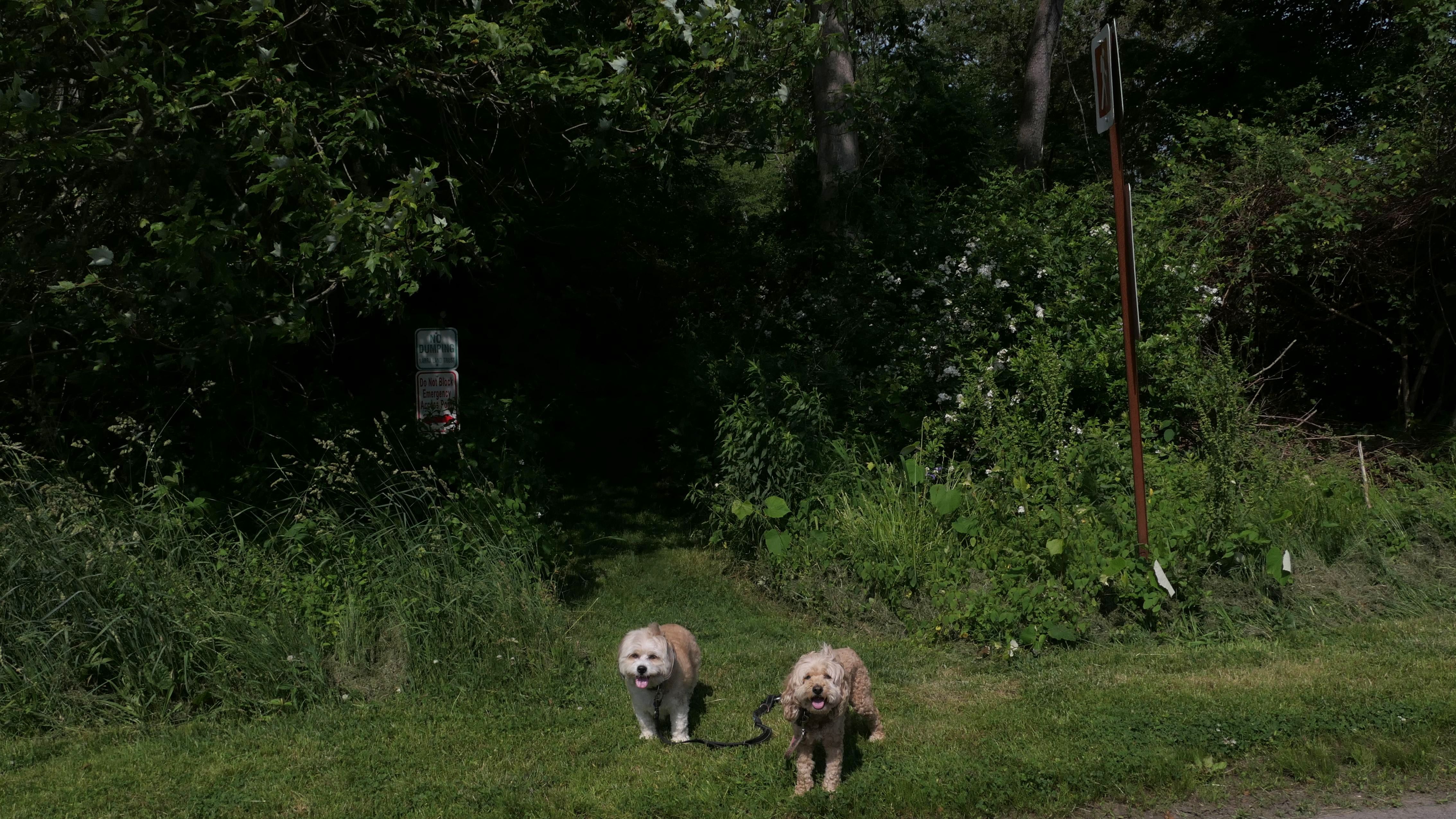
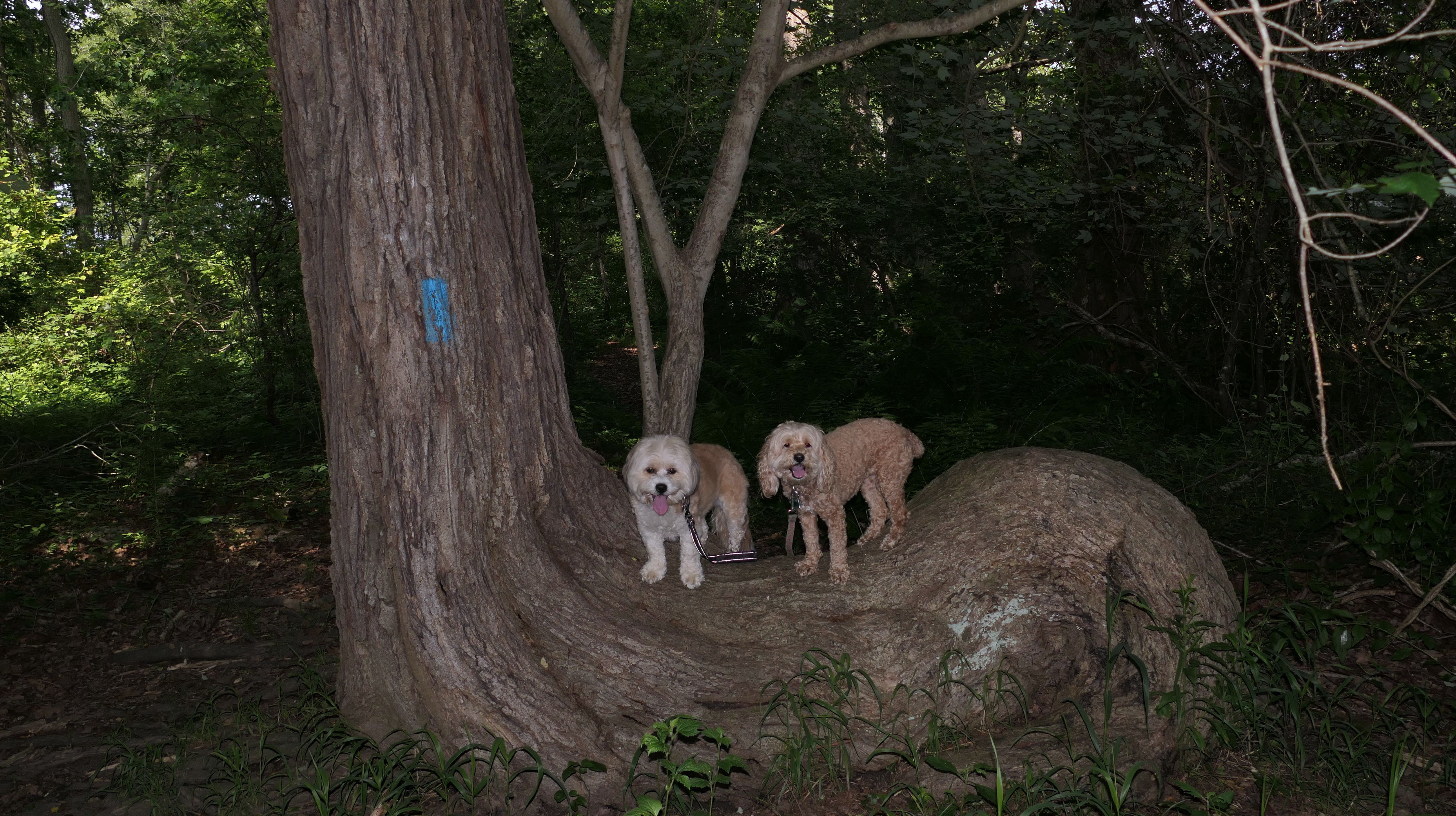
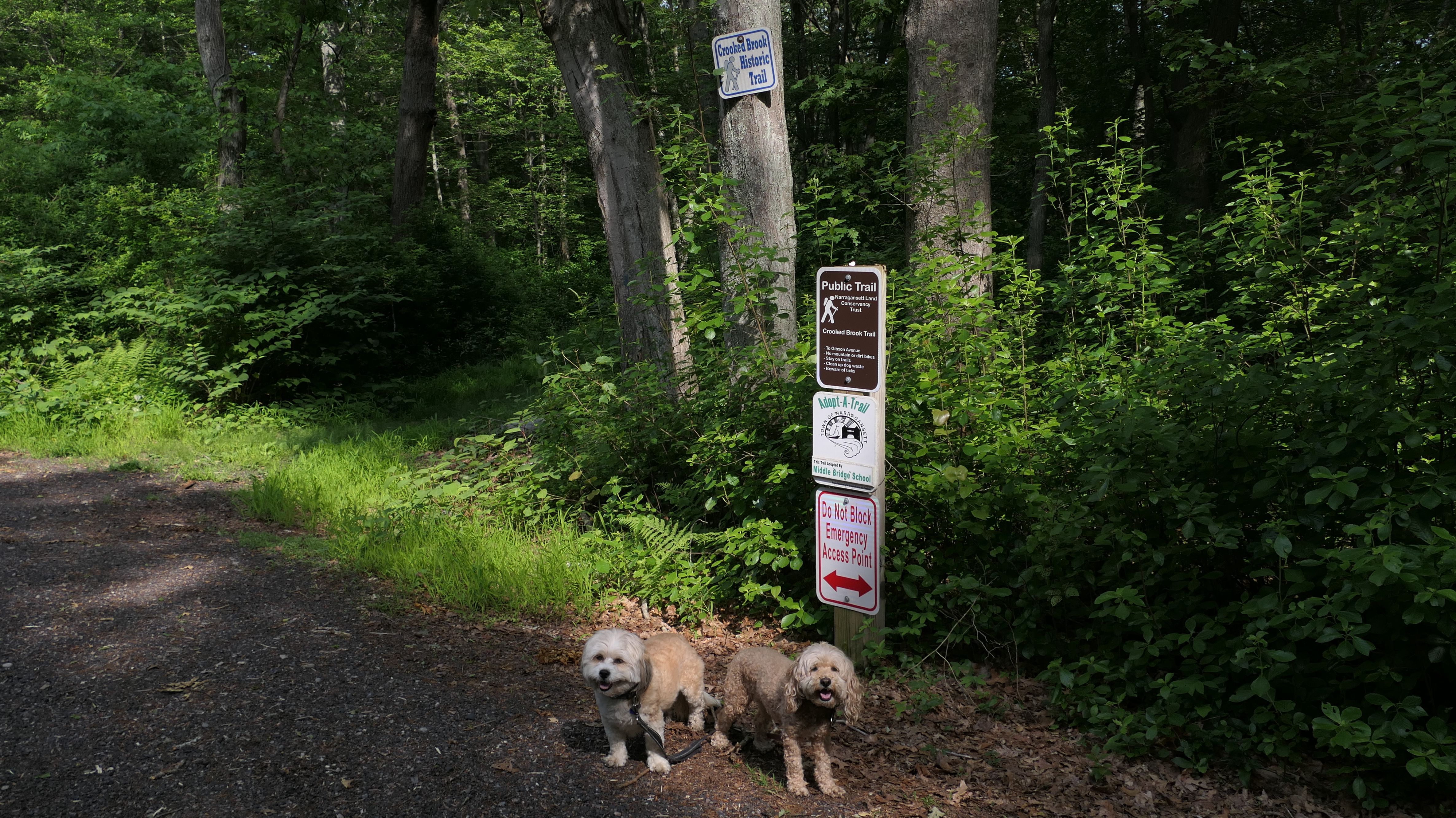
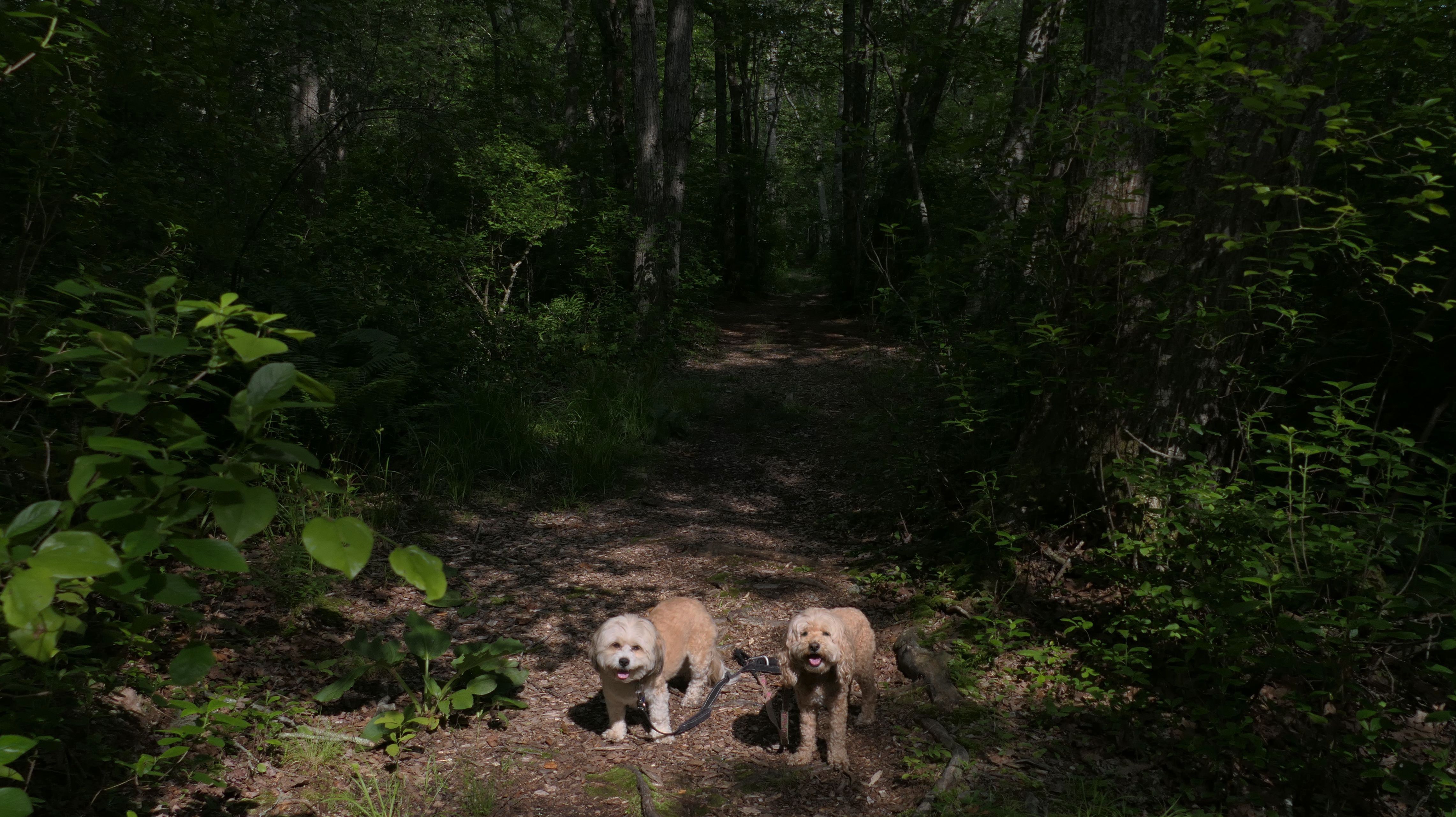
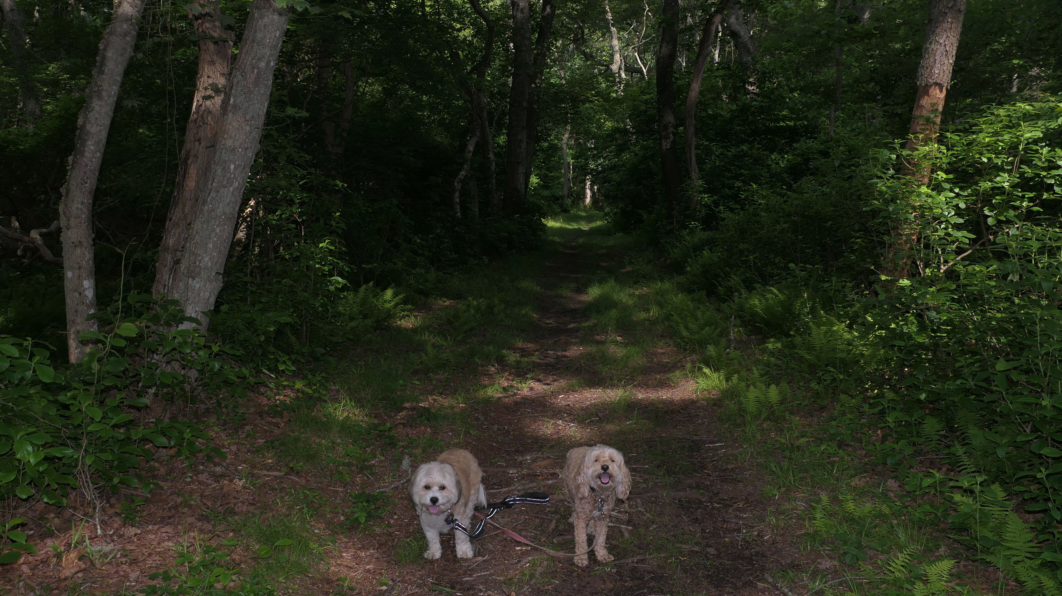
Crooked Brook Trail
Date visited: 6/13/2025
This is a Narragansett Land Trust trail leading from Kinney Avenue to Gibson Avenue. It actually continues on the north side of Kinney Avenue, but maybe we will come back and walk that portion on a later date. Despite the name of the trail, the portion we walked was na half mile completely straight line. It really wasn't all that interesting.
More Images
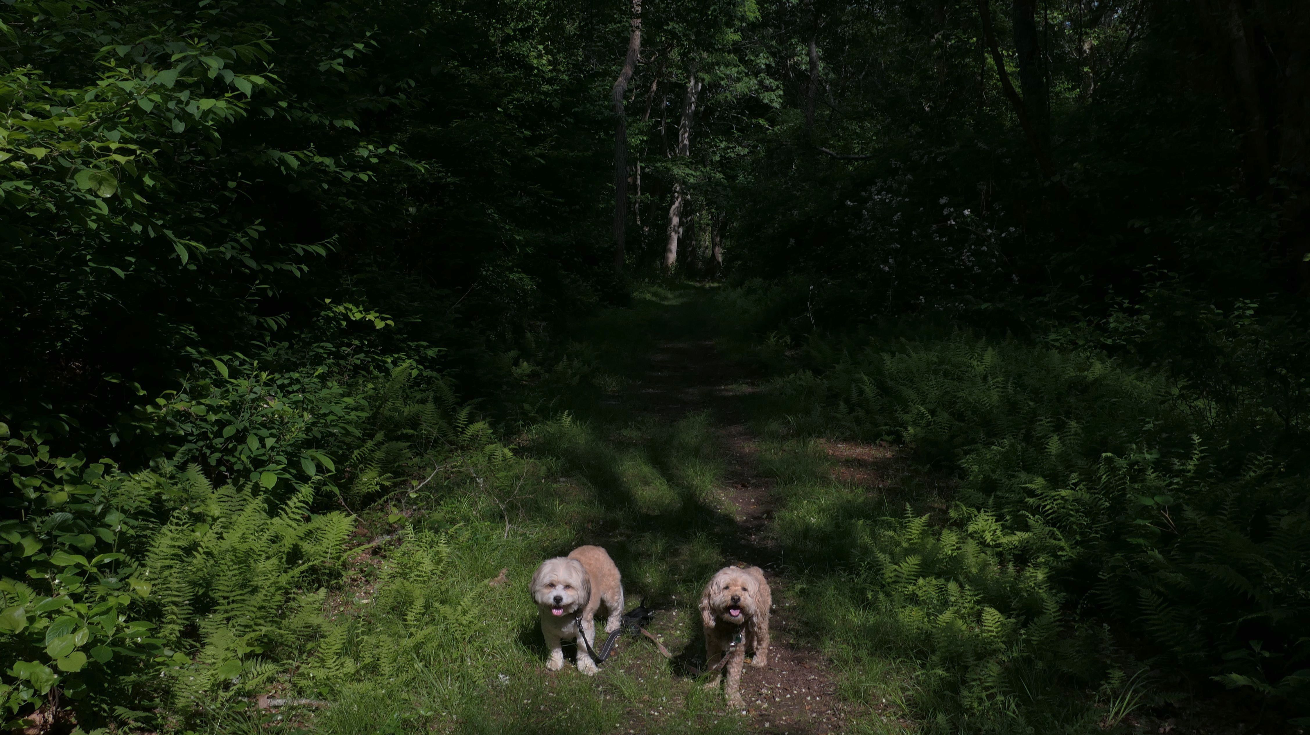
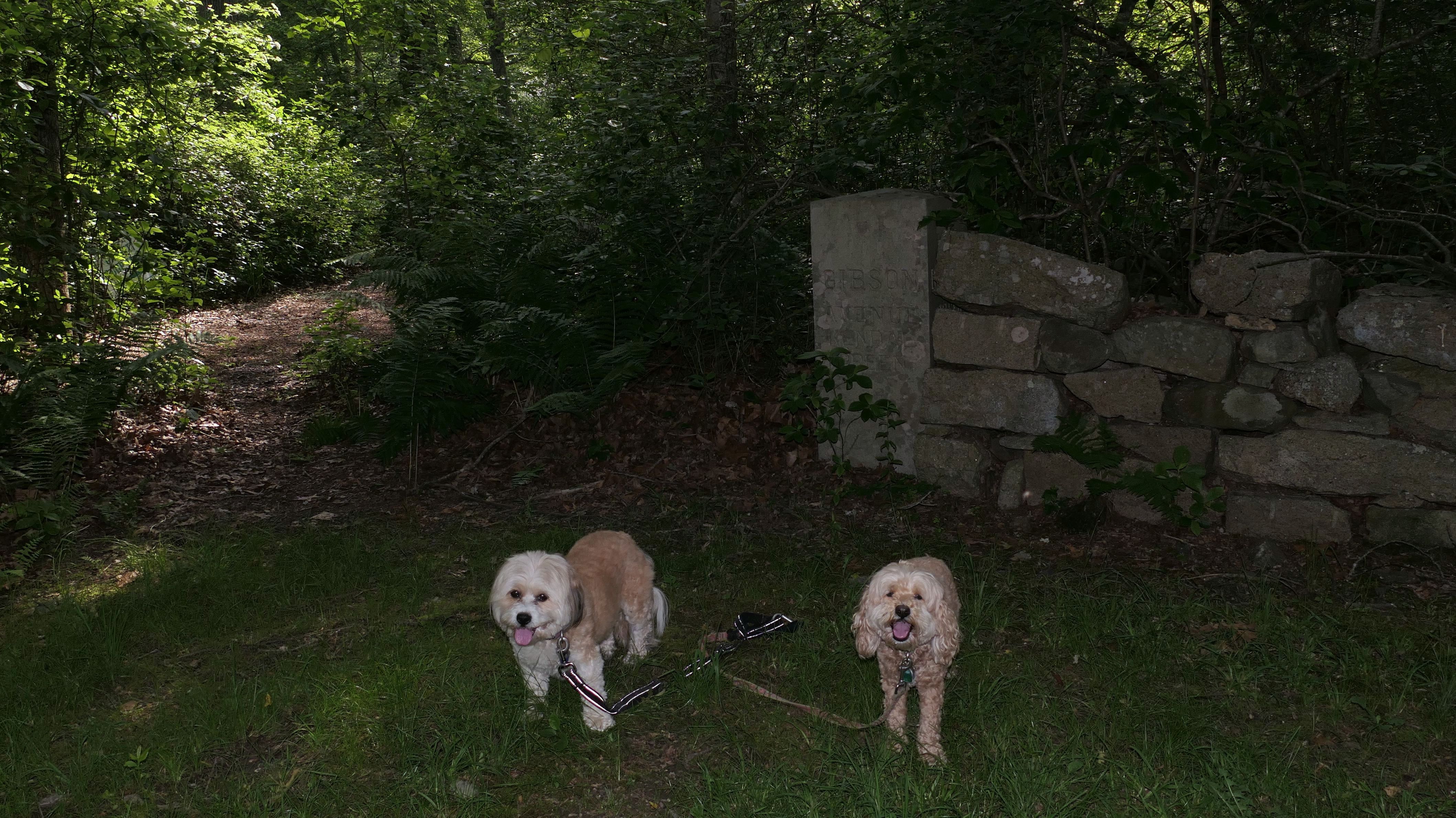
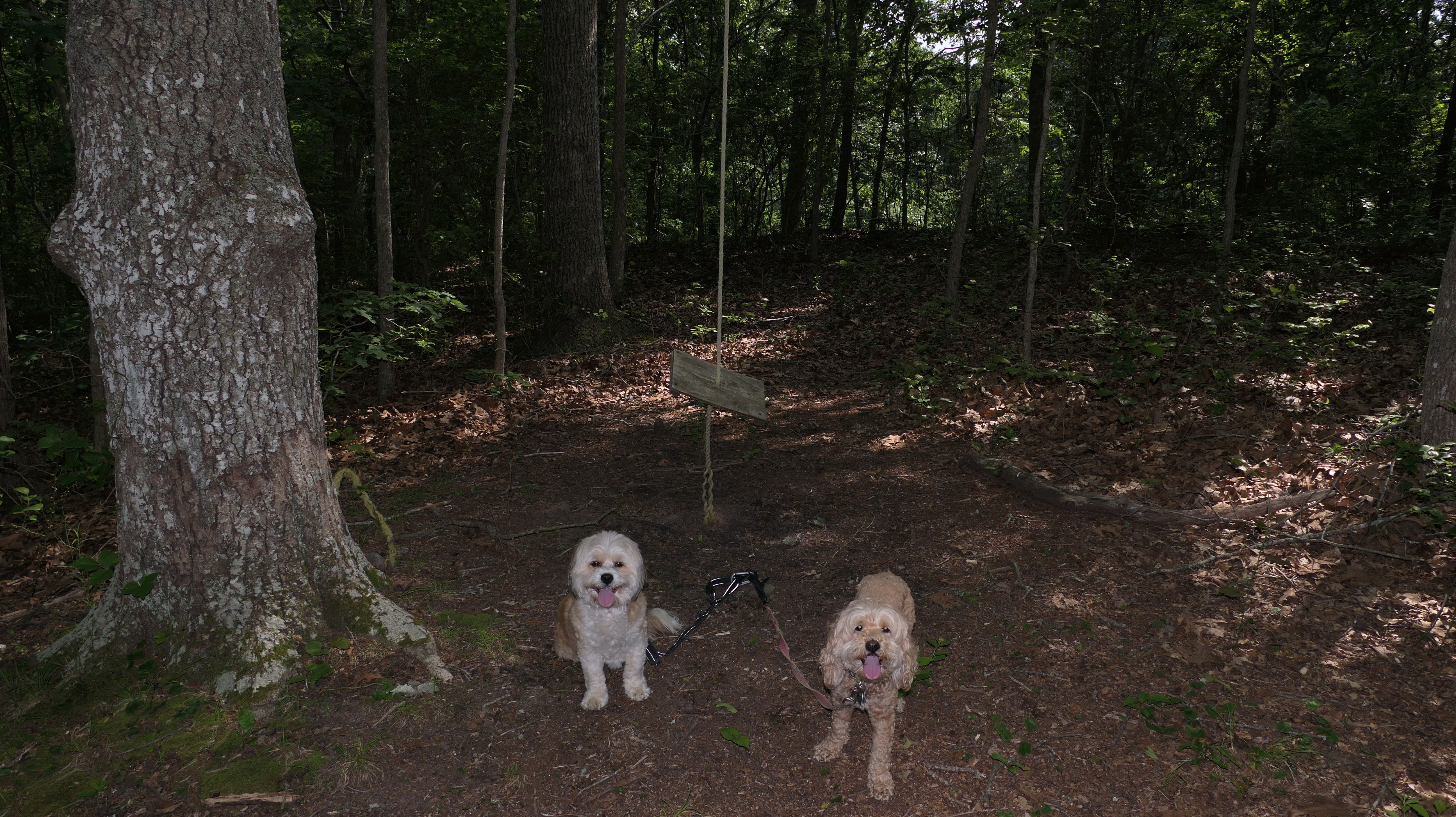
Crooked Brook Trail
Date visited: 11/11/2025
We walked the section south of Kinney Avenue previously. This is the section of the trail from the north side of Kinney Avenue that leads to South Pier Road, across from the high school. The trail is perfectly flat, and well maintained, except for a tree that has fallen recently near the trail's intersection with the Westmoreland Trail. Instead of turning around and heading back the way we came, we made a loop by passing through the high school grounds, and heading down South Pier Road, until we reached the pier. Then headed back up Earls Court, passing the old water tower that sits in the middle of the road, and then up Westmoreland Sreet, where we picked up the Westmoreland Trail that leads back to the Crooked Brook trail. The route was about four and a half miles and had a nice variety of sights. Despite the cold and windy weather, the sun was out for most of our trip, making this an enjoyable walk.


More Images


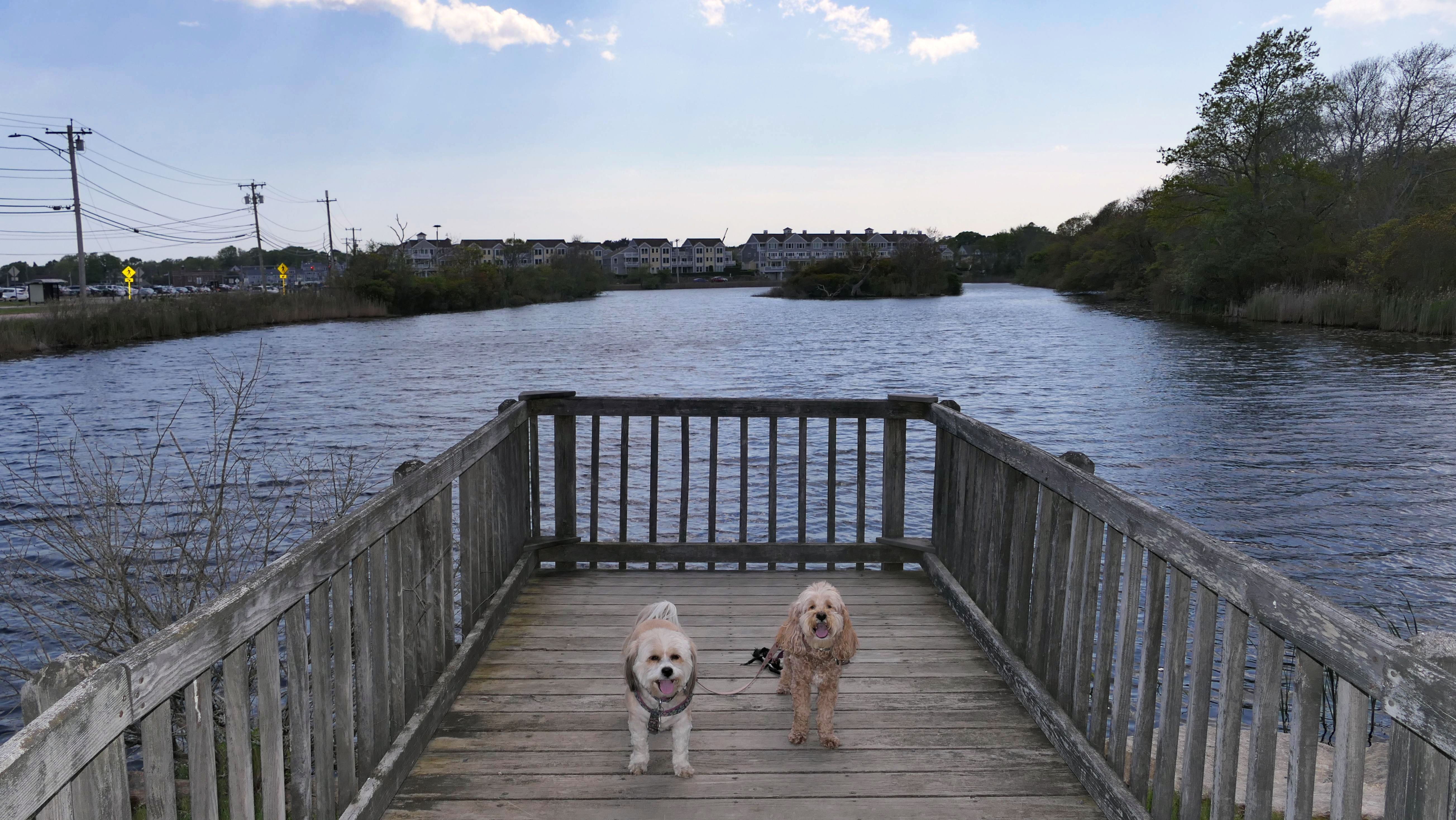
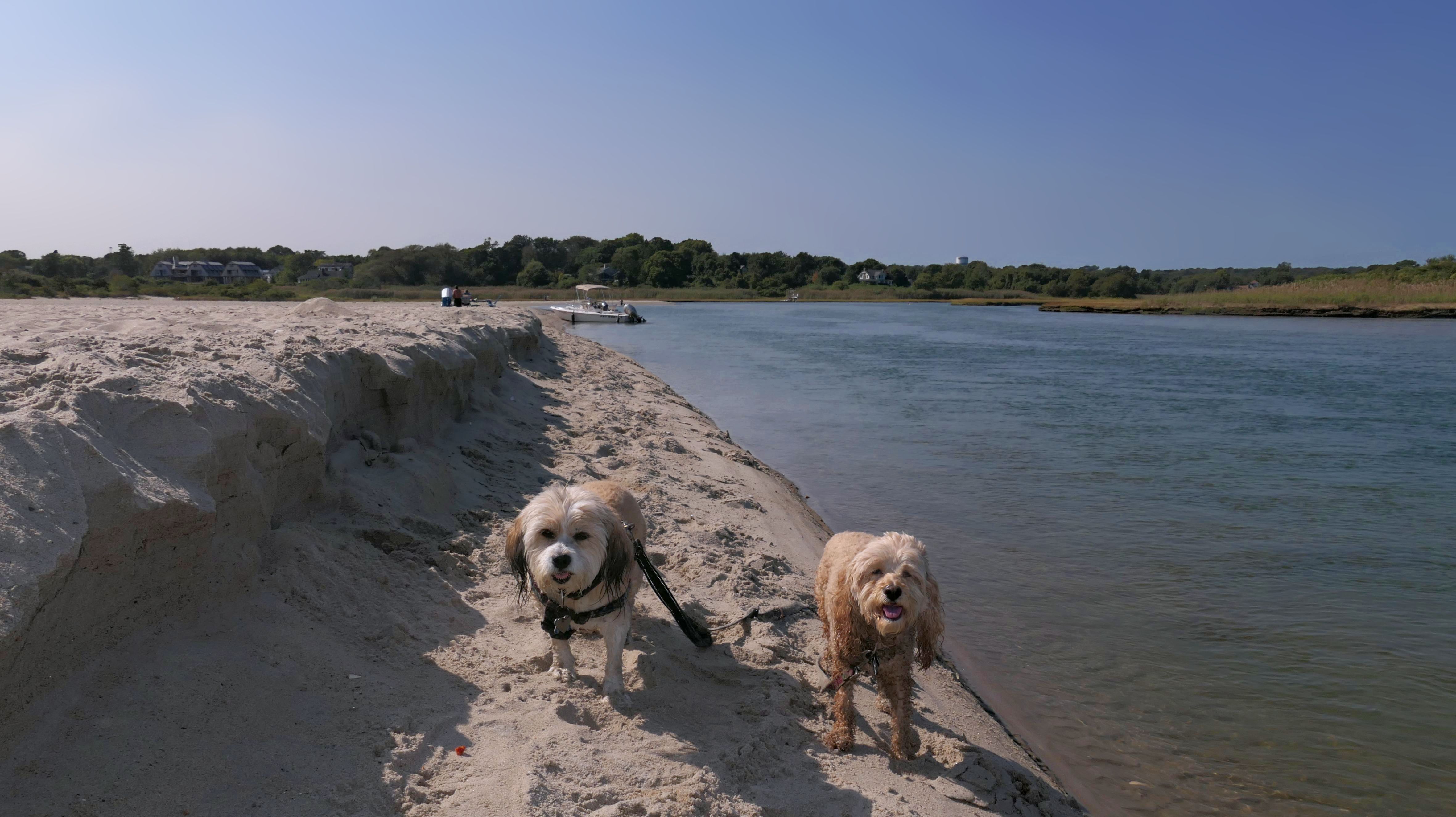
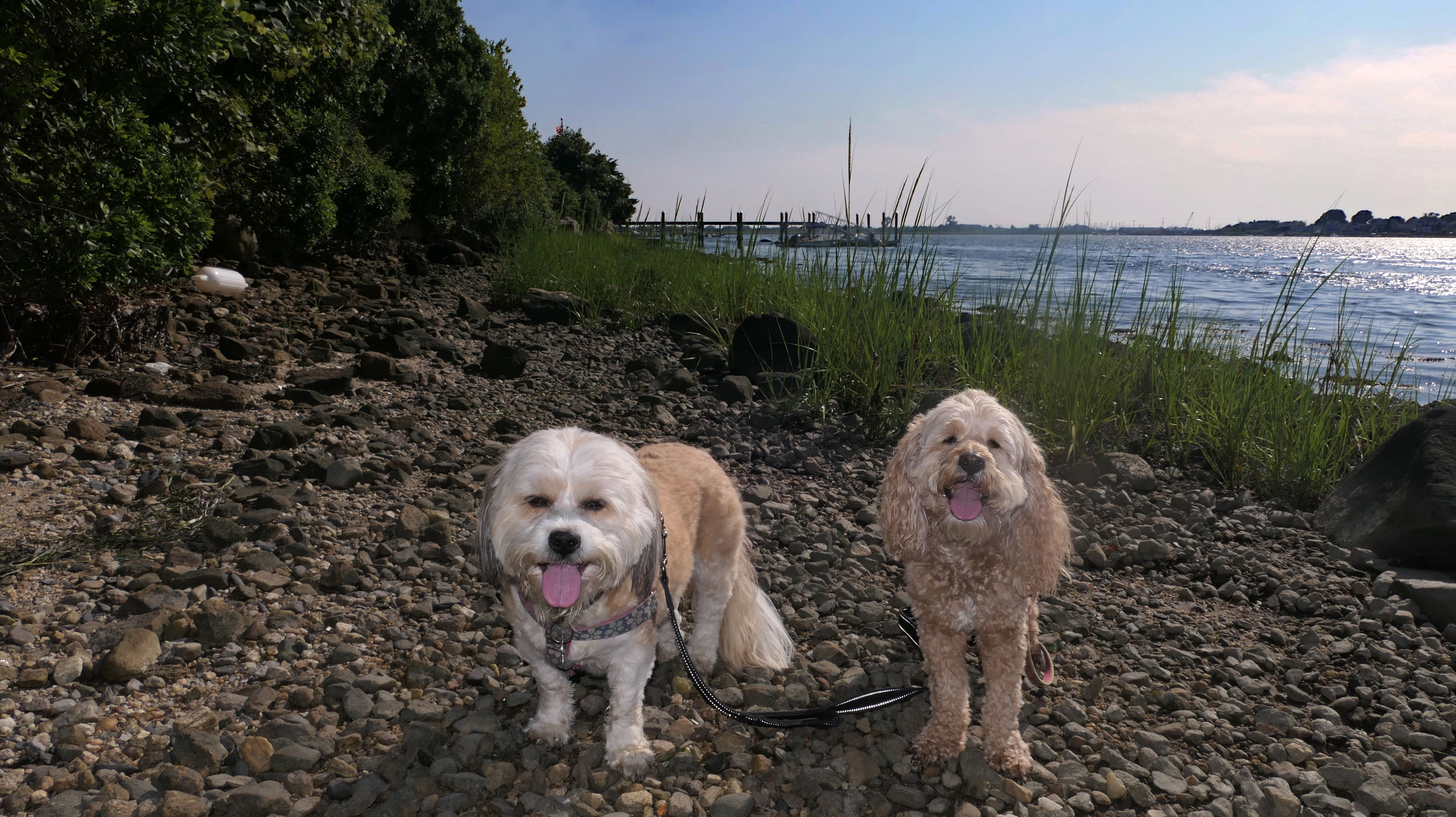
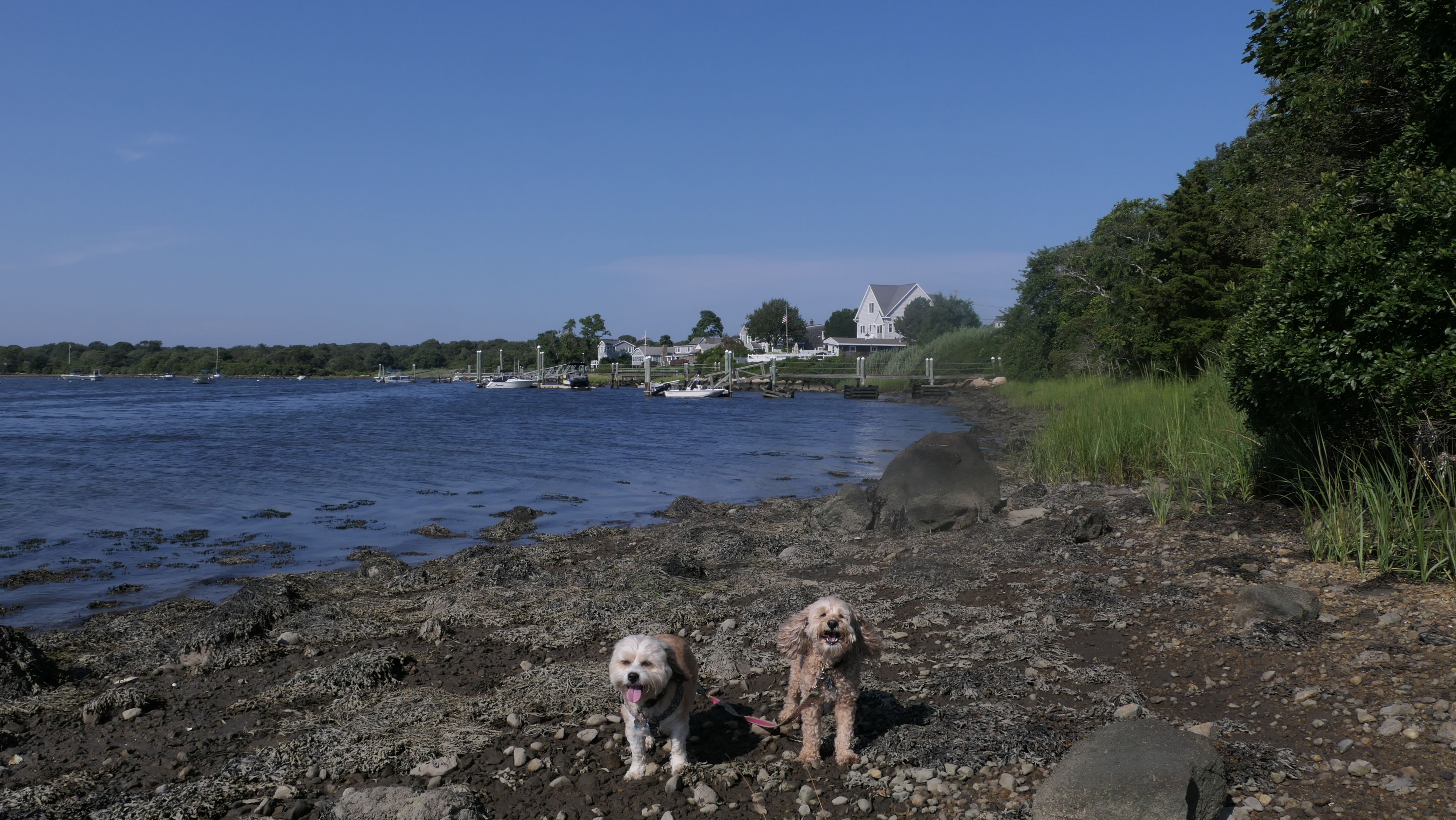
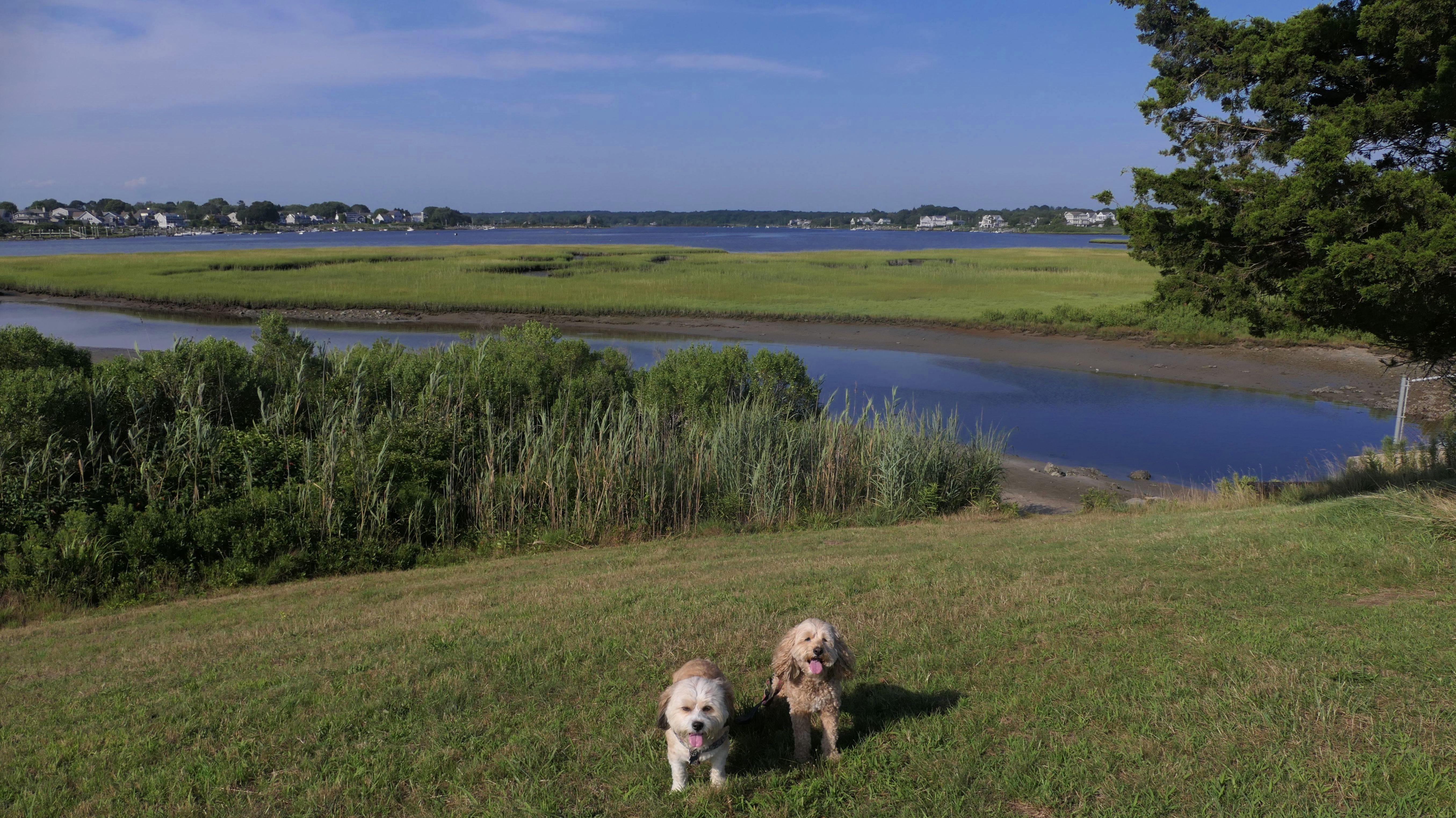
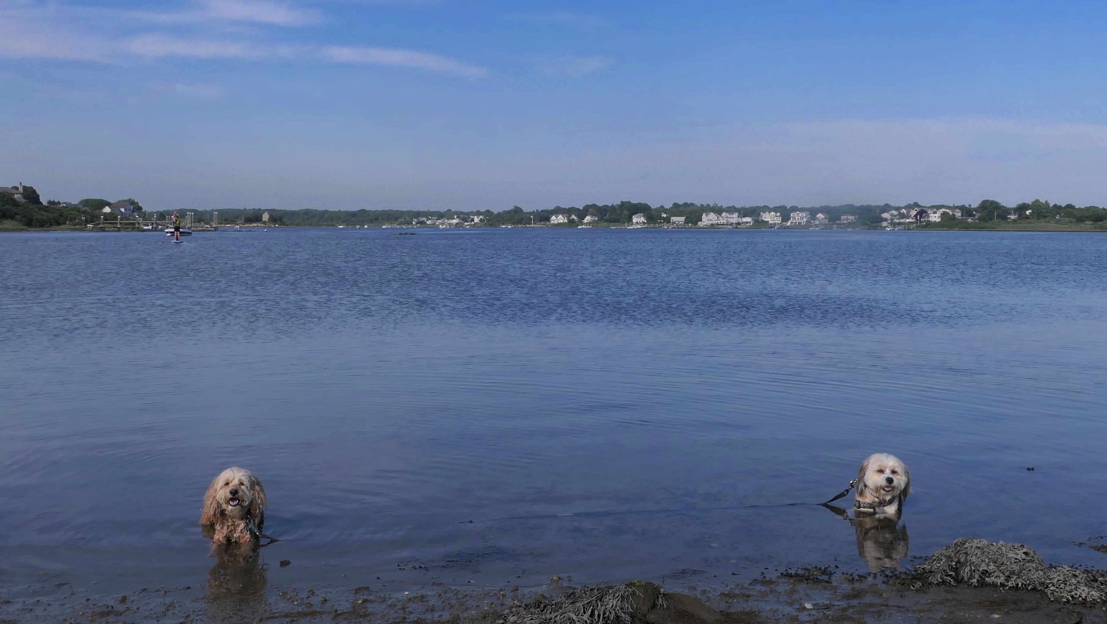
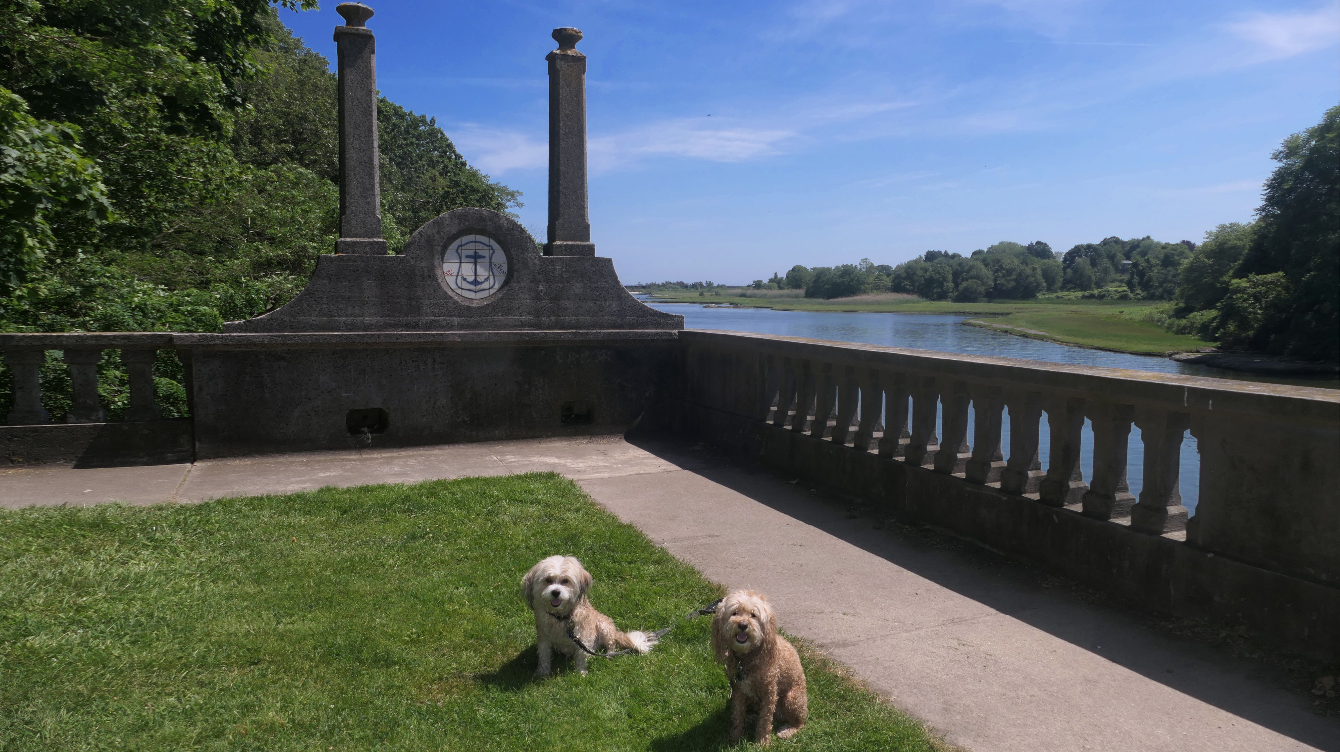
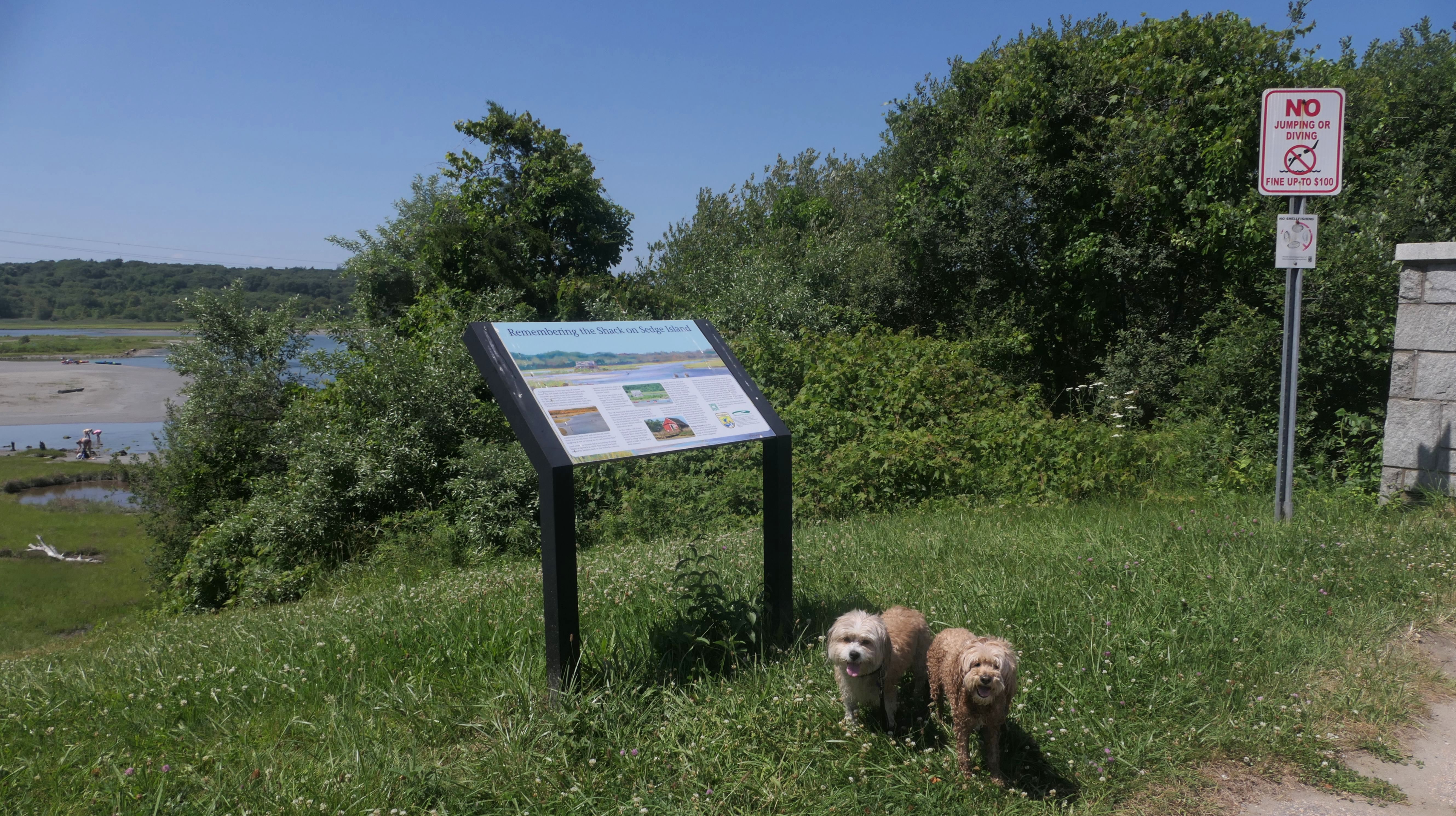
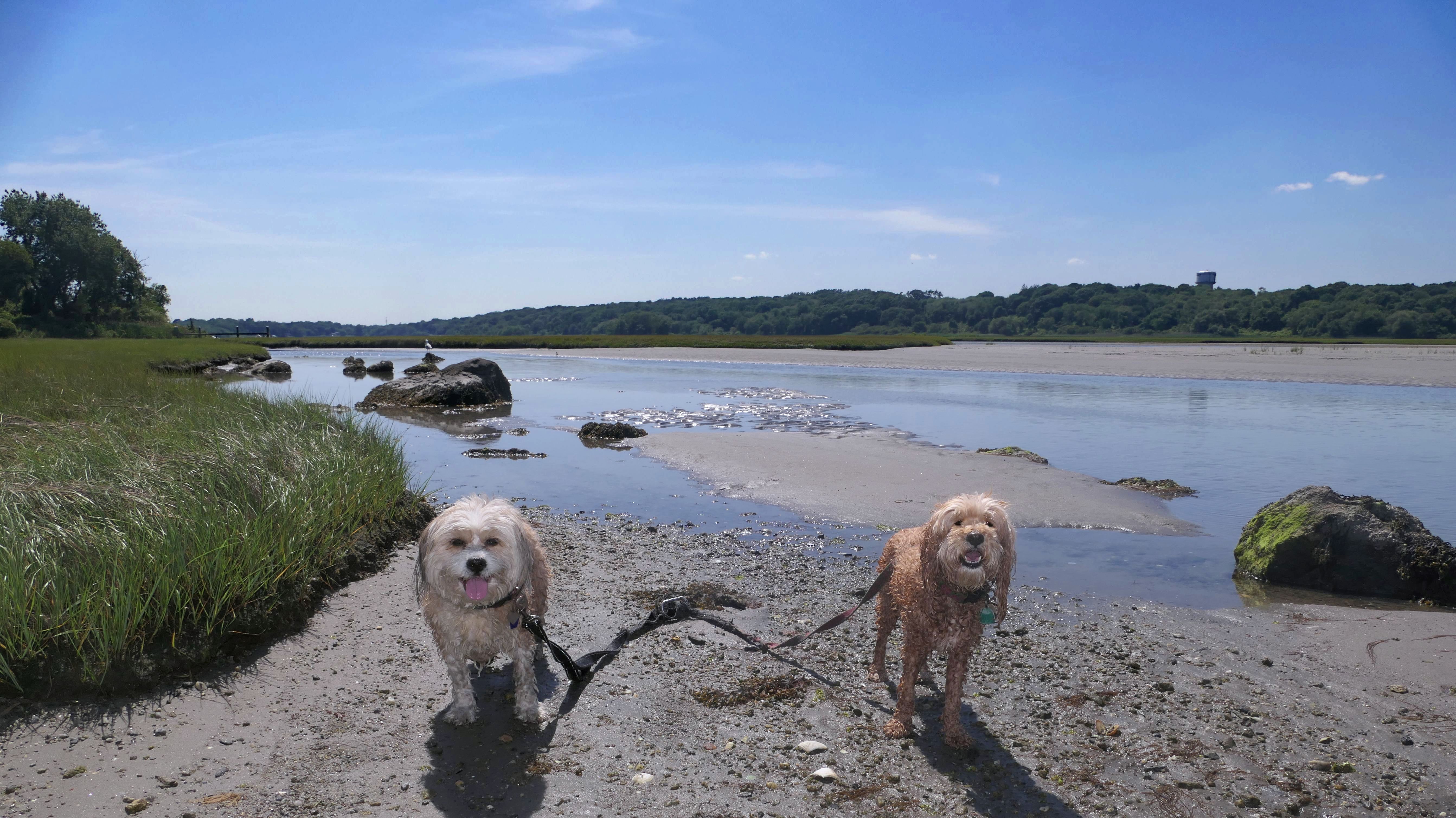
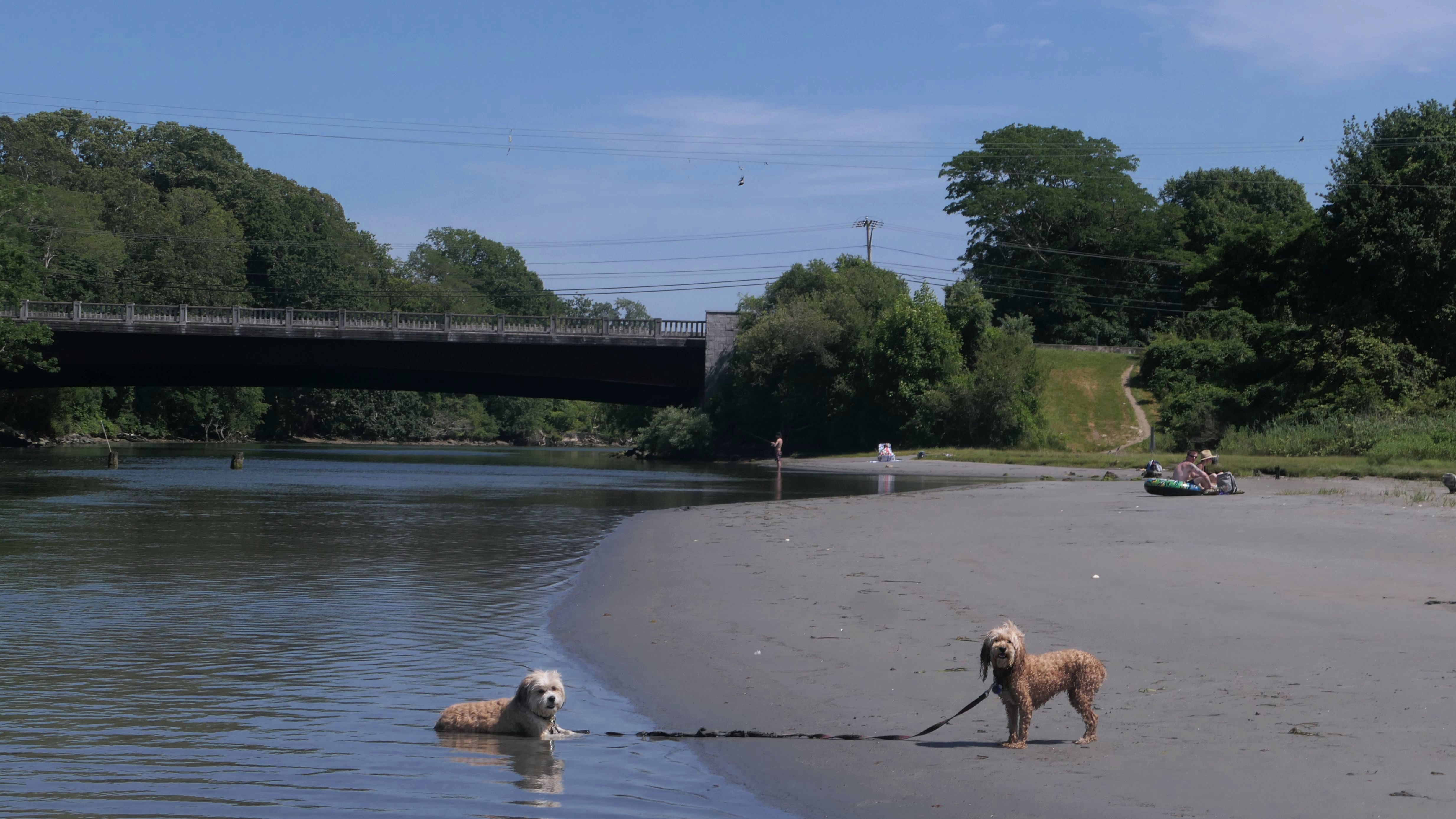
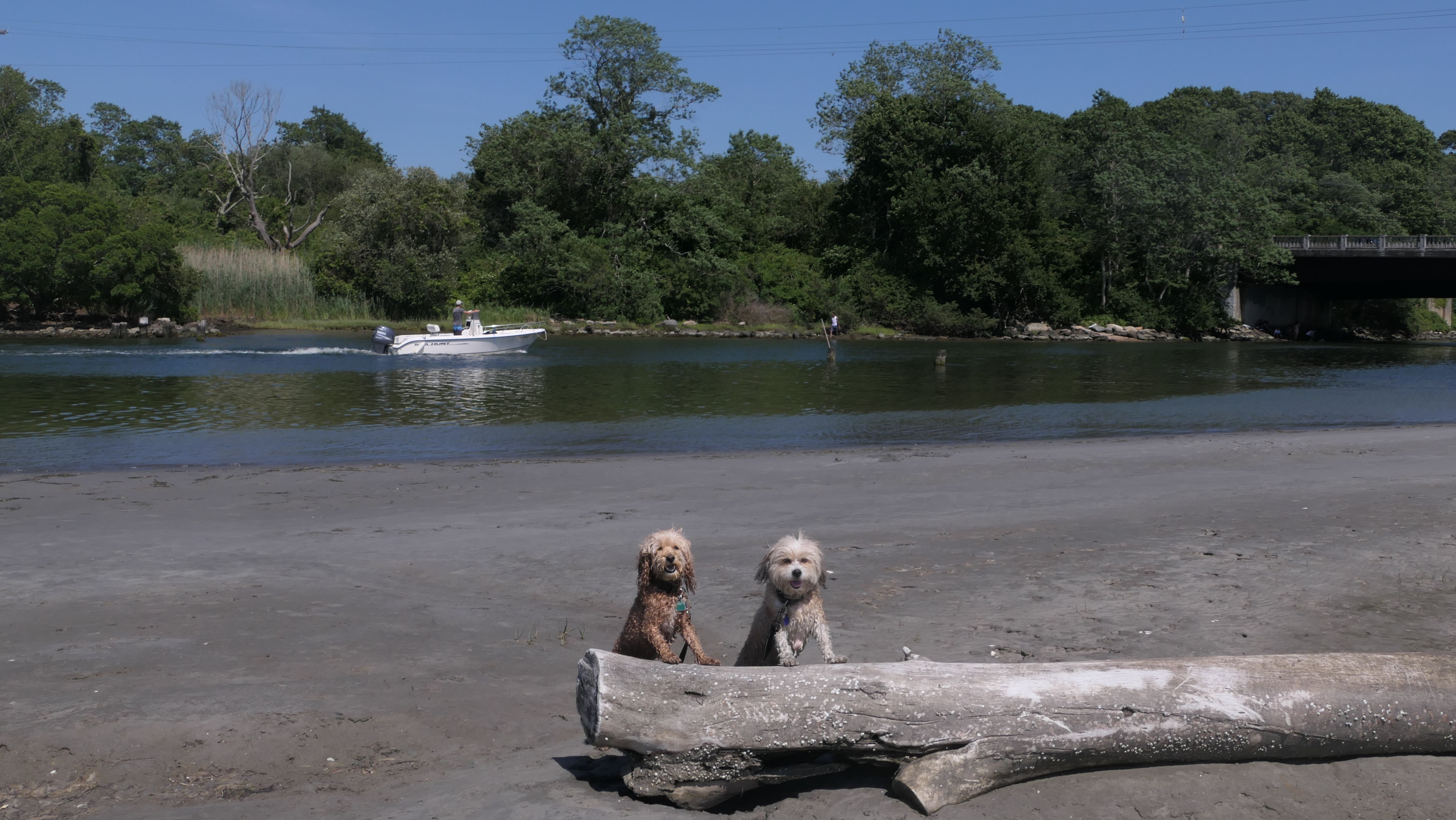
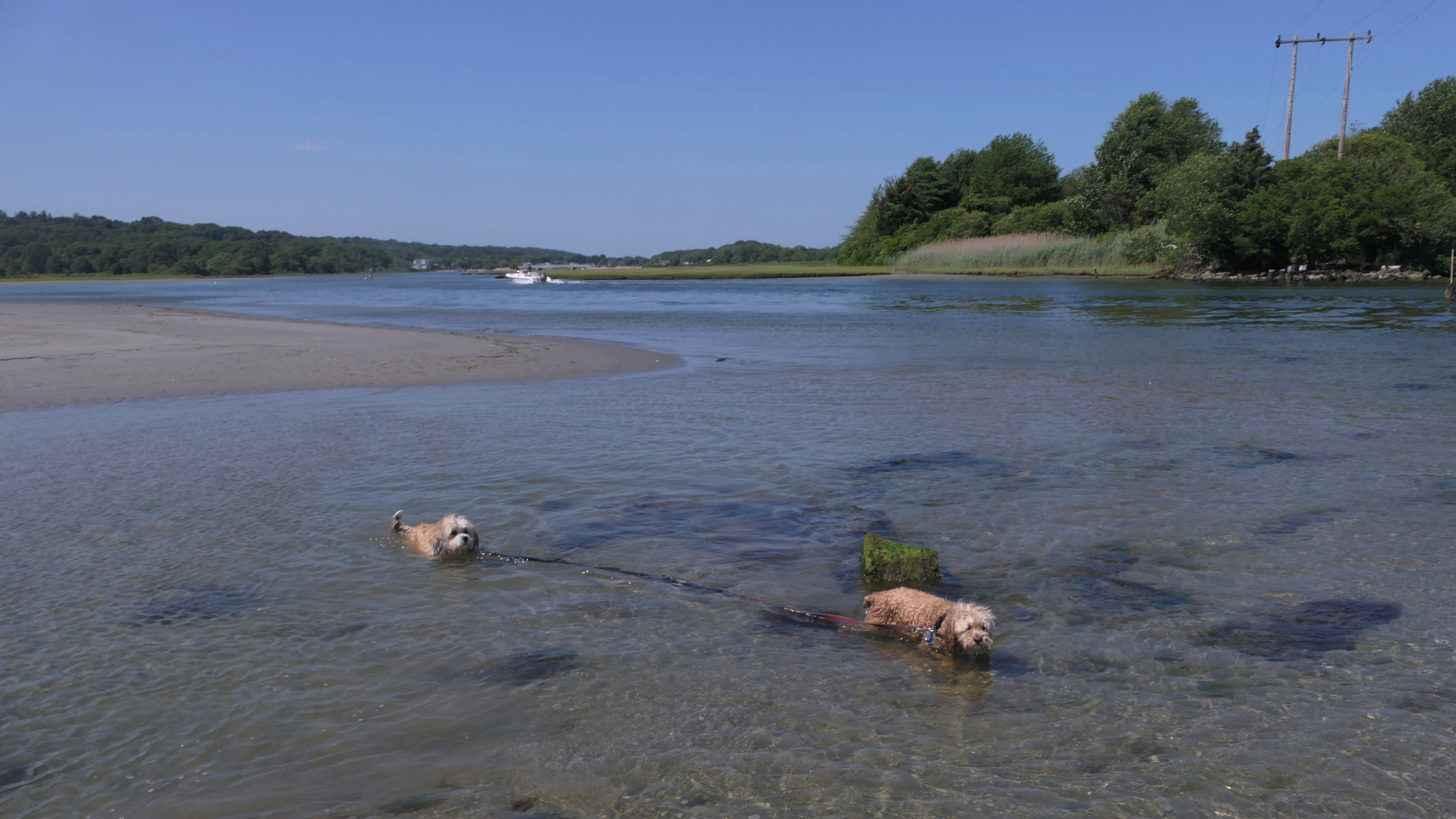
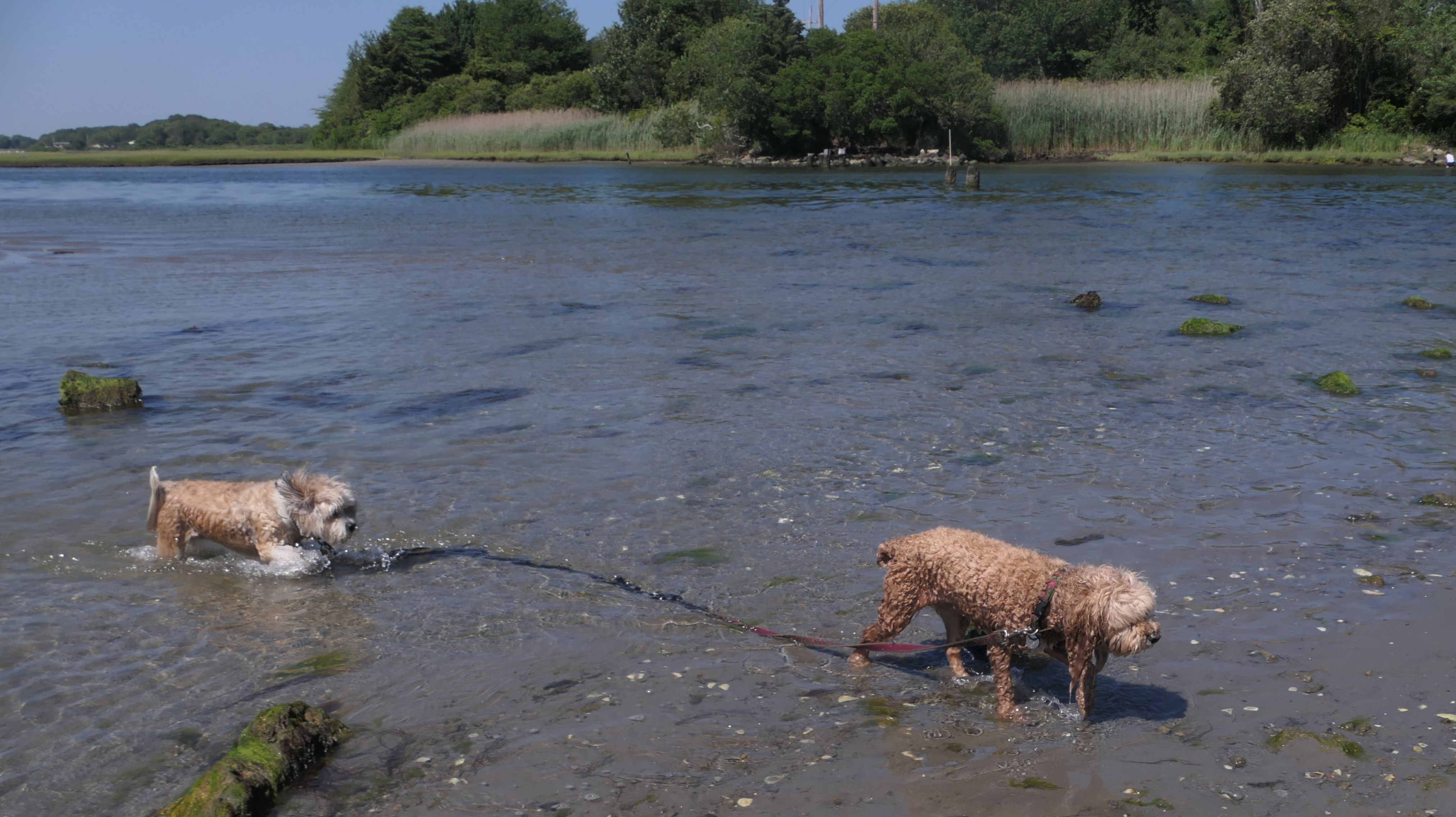
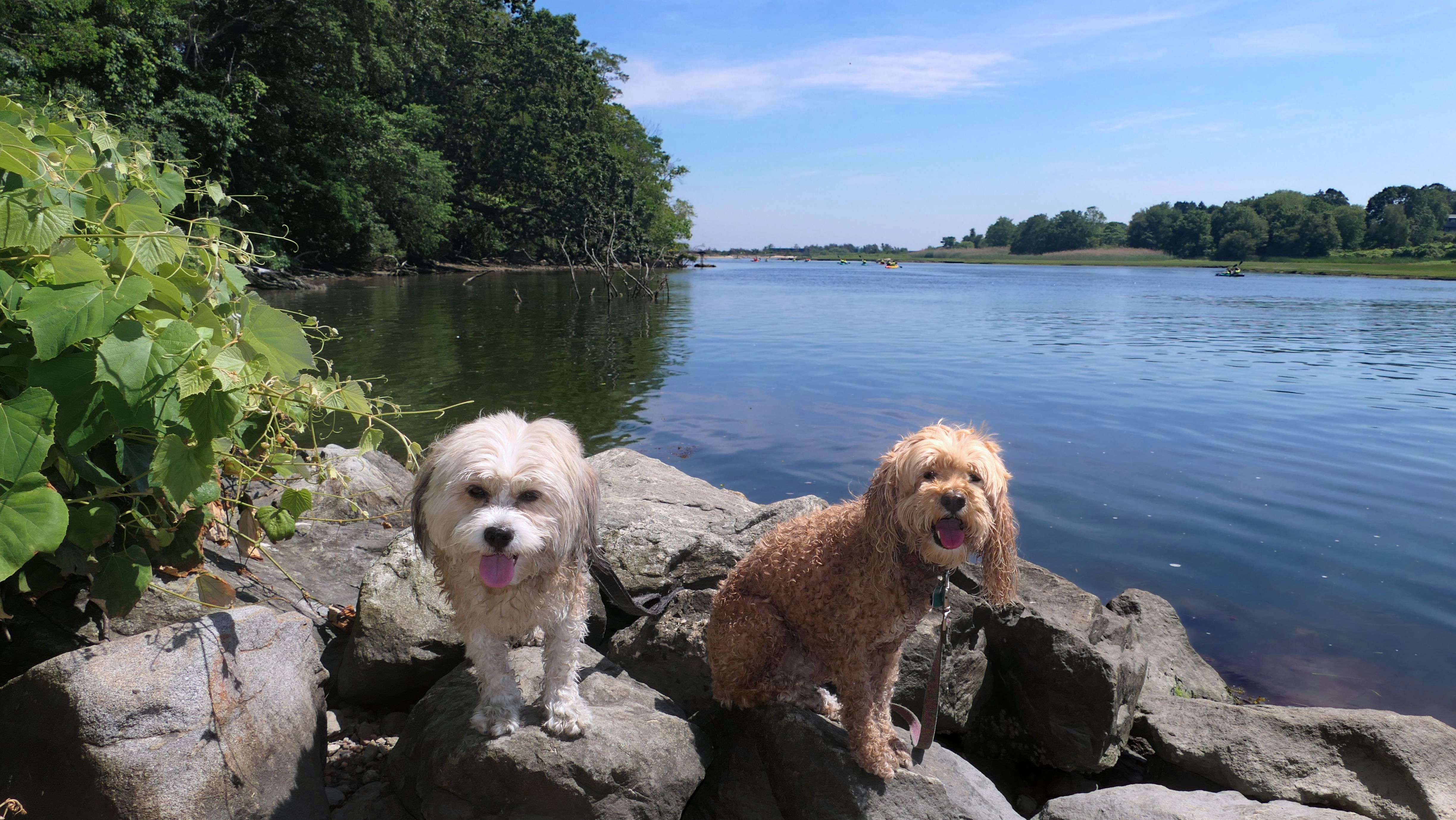
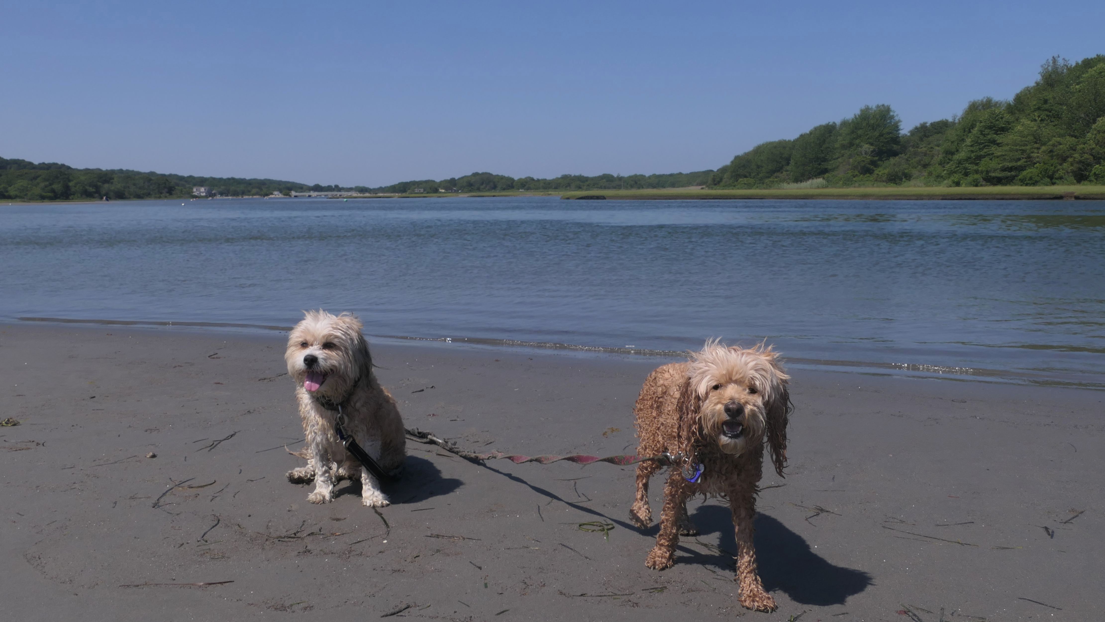
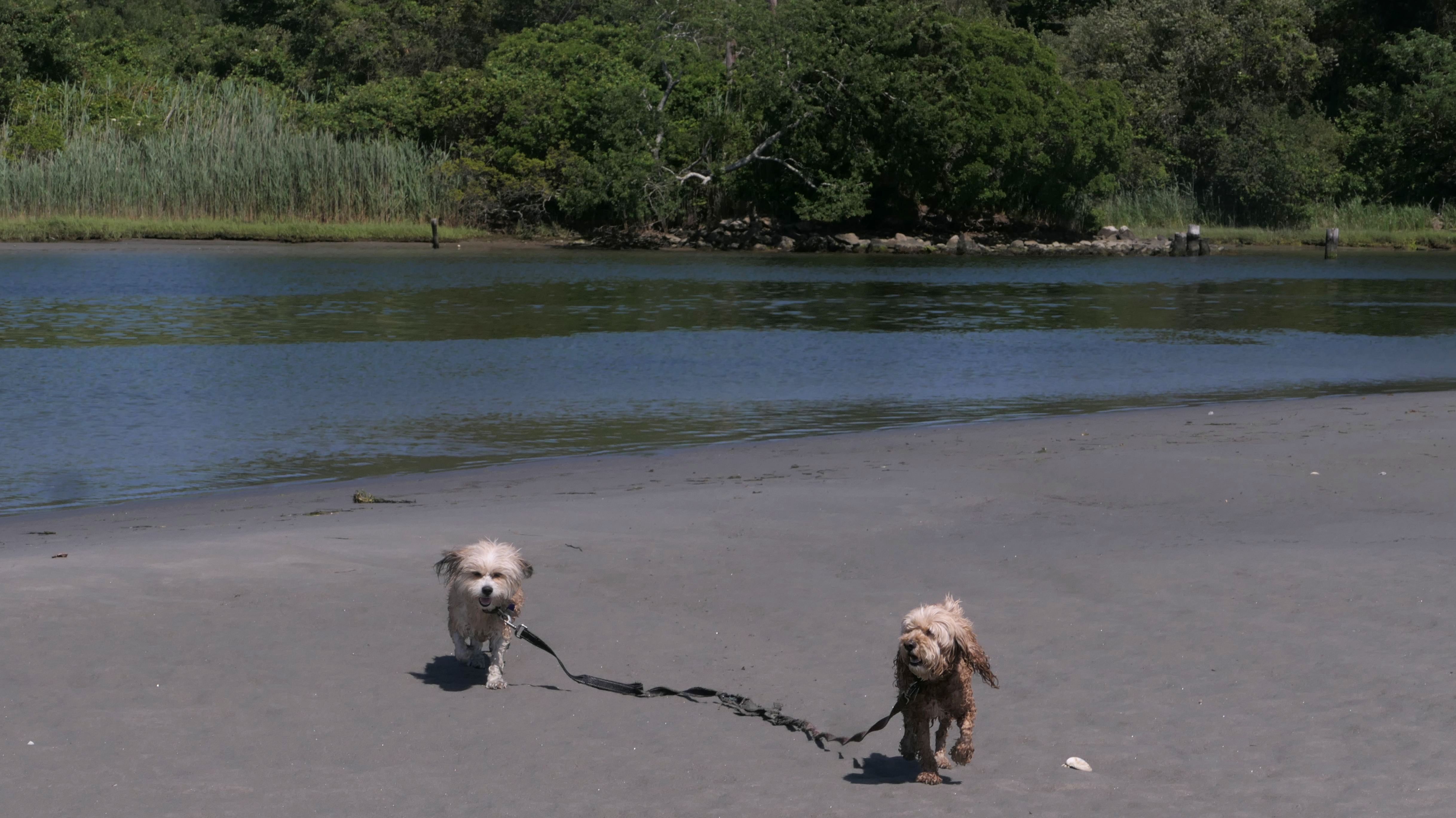
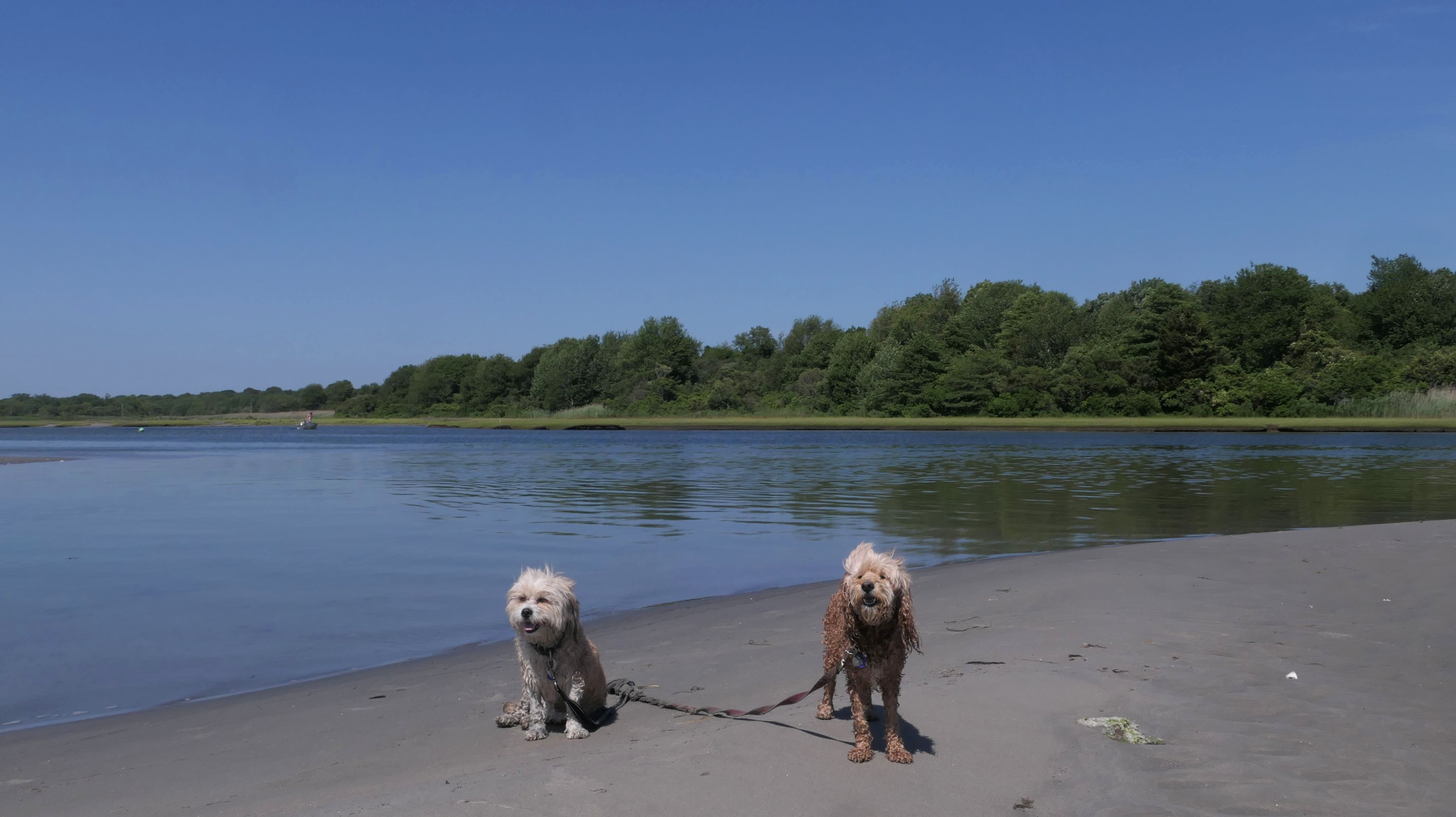
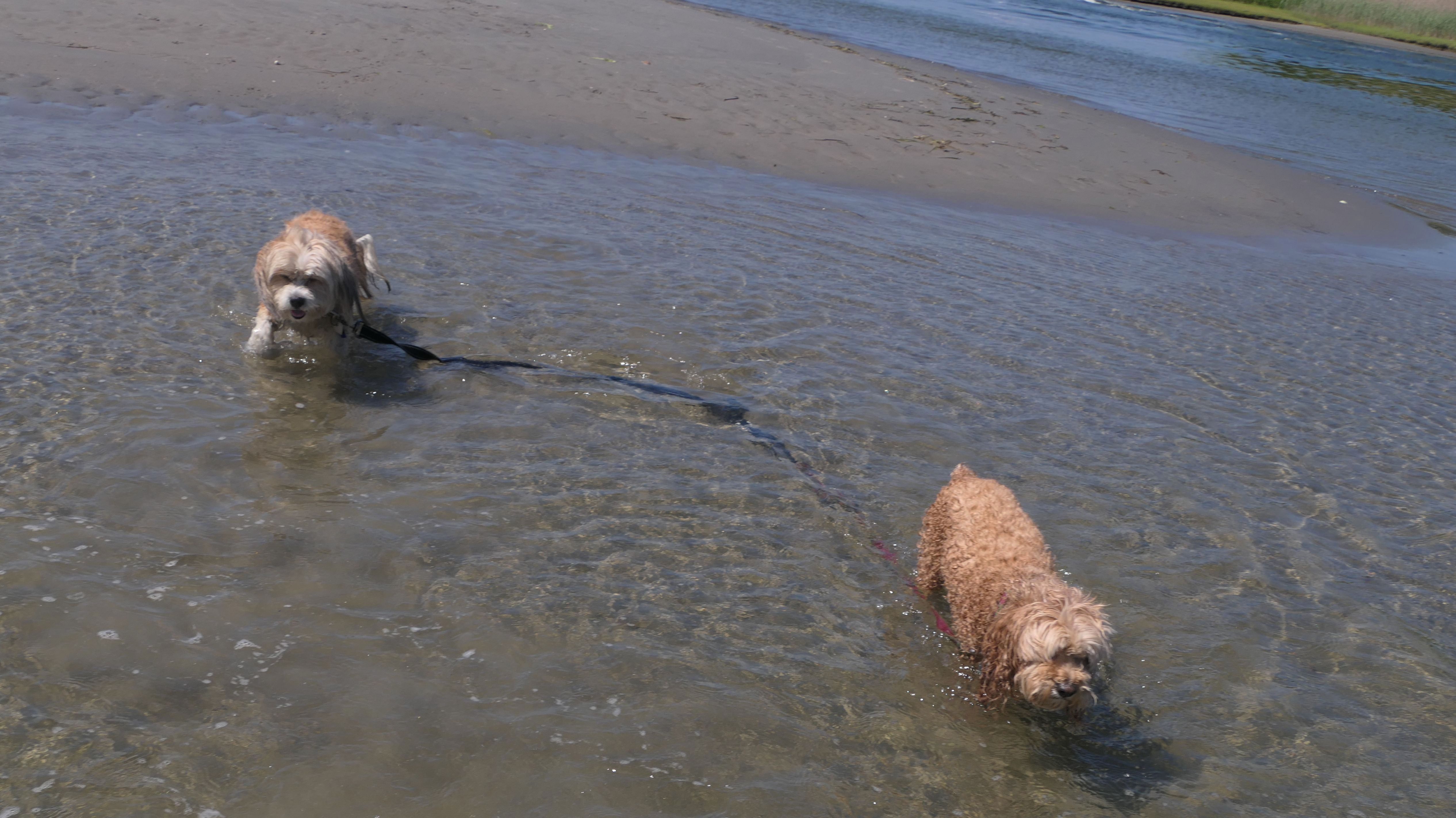
Sprague Bridge Recreation Area
Date visited: 6/24/2025
This was our 2nd stop on this very hot day. This wasn't a planned stop. I passed by on the way to Camp Cronin Beach and decided to stop and check it out. There's no signage or anything indicating the name of the park, but there are two small parking lots on the south side of Boston Neck Road, one on either side of the bridge. There is a third parking area for John H. Chafee Wildlife Refuge on the north side. Two of the three lots were full, despite it being a Tuesday afternoon. I guess everyone wass looking for water related activities when temps are nearing 100! There is an observation platform near one of the parking areas, that was once part of the old bridge prior to it being rebuilt. All four corners of the bridge feature paths that lead down to the Pettaquamscutt River. We checked out all four. One was very muddy, but the other three were interesting. The southern access points look out toward the mouth of the short river, at the east end of Town Beach. The northern access points lead to a salt marsh and Sedge Island. There was a lot of activity on this day, with kayaks, rafts, people fishing, and even sun-bathers. There was also a group of teenagers jumping off the bridge into the river below (despite the signs warning that it was illegal). The waters are calm and warm. We made our way out to a smaller island (which probably doesn't exist during high tide). Mandy didn't like passing through that much water, even though it wasn't deep. The area beyond this, is part of the wildlife refuge. This was a pretty nice find, and a good place to cool off on a hot day.
More Images
Middlebridge Road Open Space
Date visited: 9/28/2025
This small park area doesn't show up on any of the maps, and doesn't seem to have a real name. There's a parking area with benches, and a private marina. At the back of the property is someone's residence, and it's not entirely clear where the public space ends and the private residence begins, so we stayed near the parking area. The spot does provide some wonderful views of the Narrow River near the bridge. We also walked over the bridge and across the street and checked out the Garrison House Acres preserve while we were here.


More Images


Narragansett Historical Society
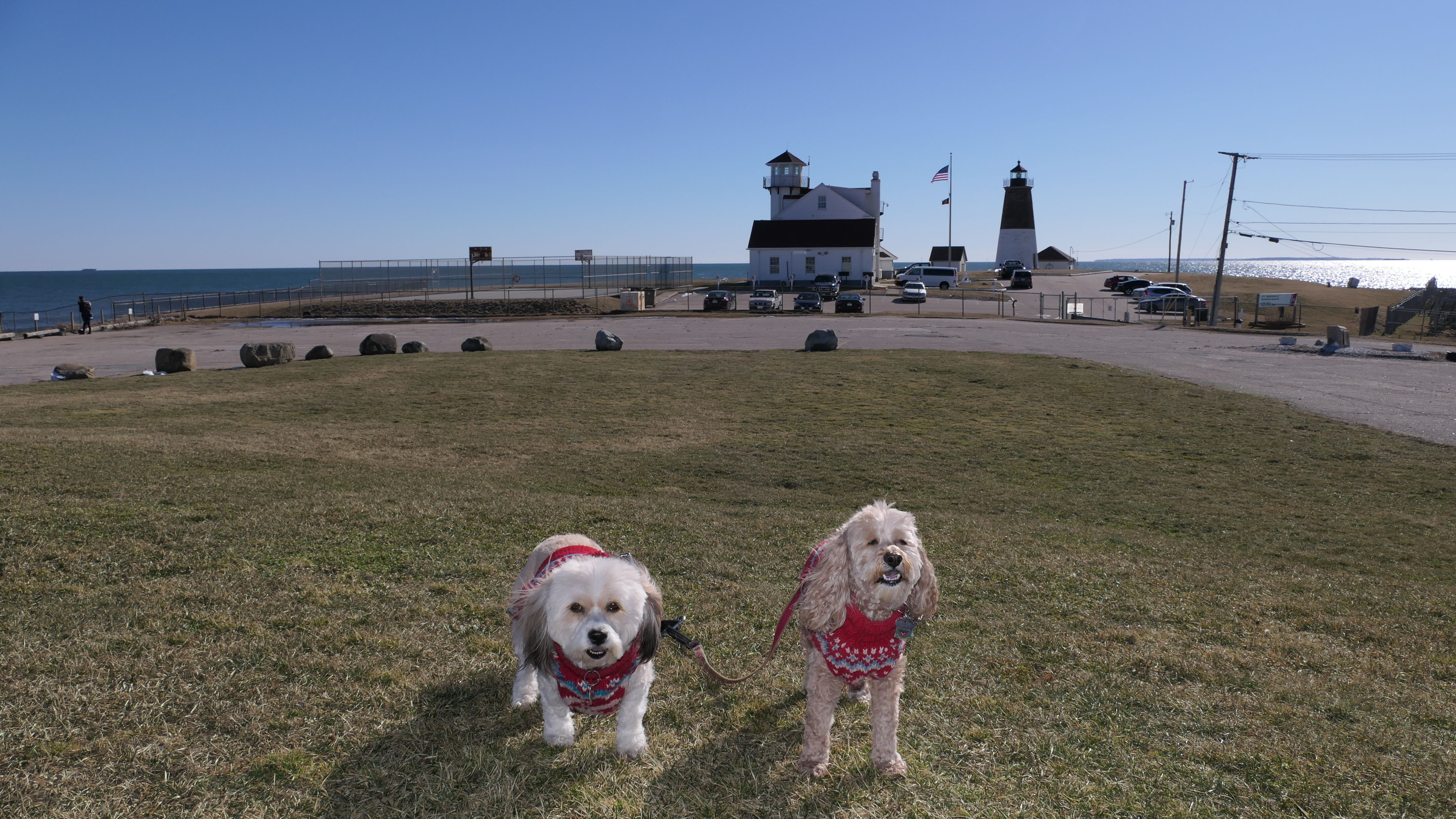
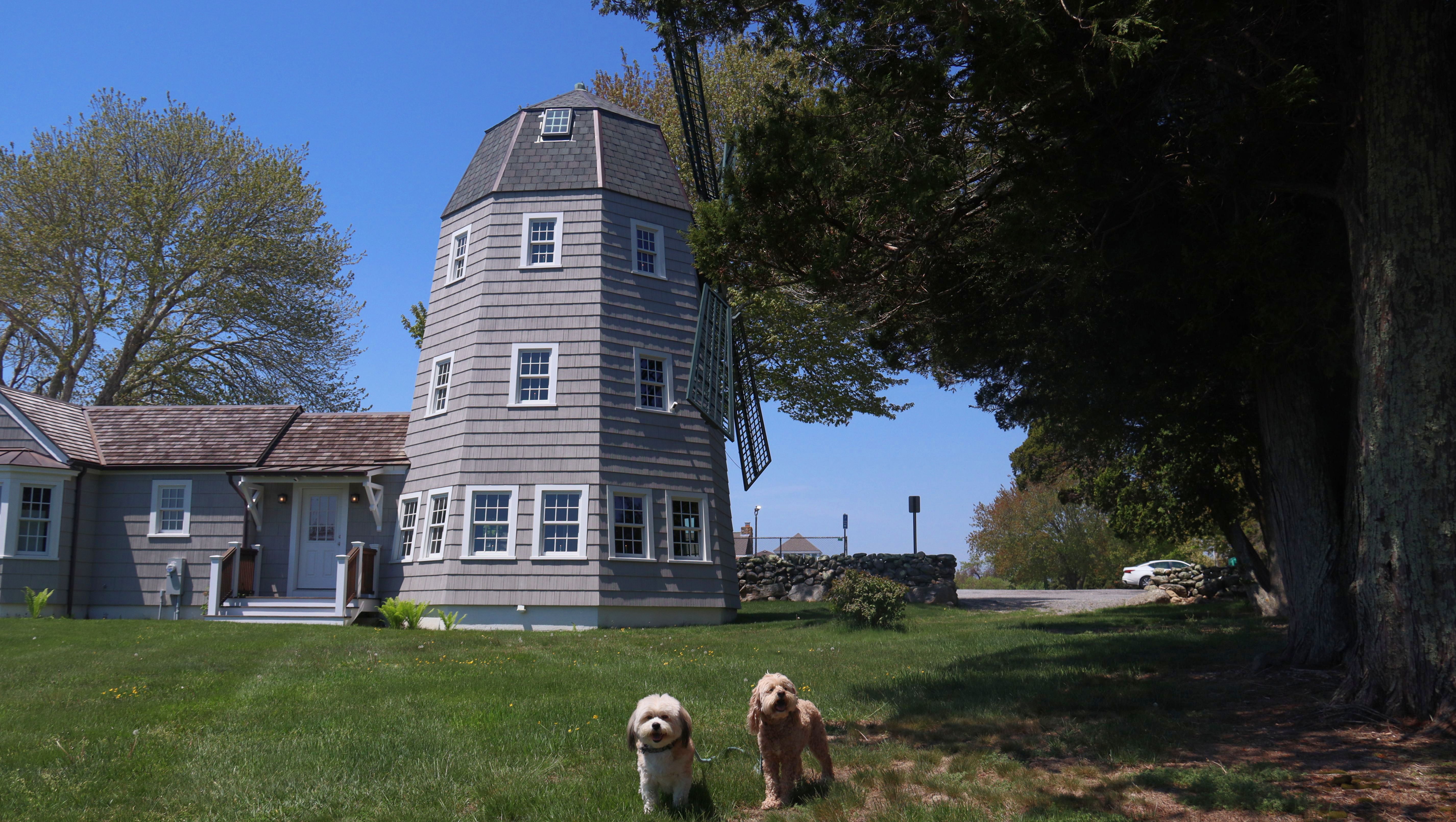
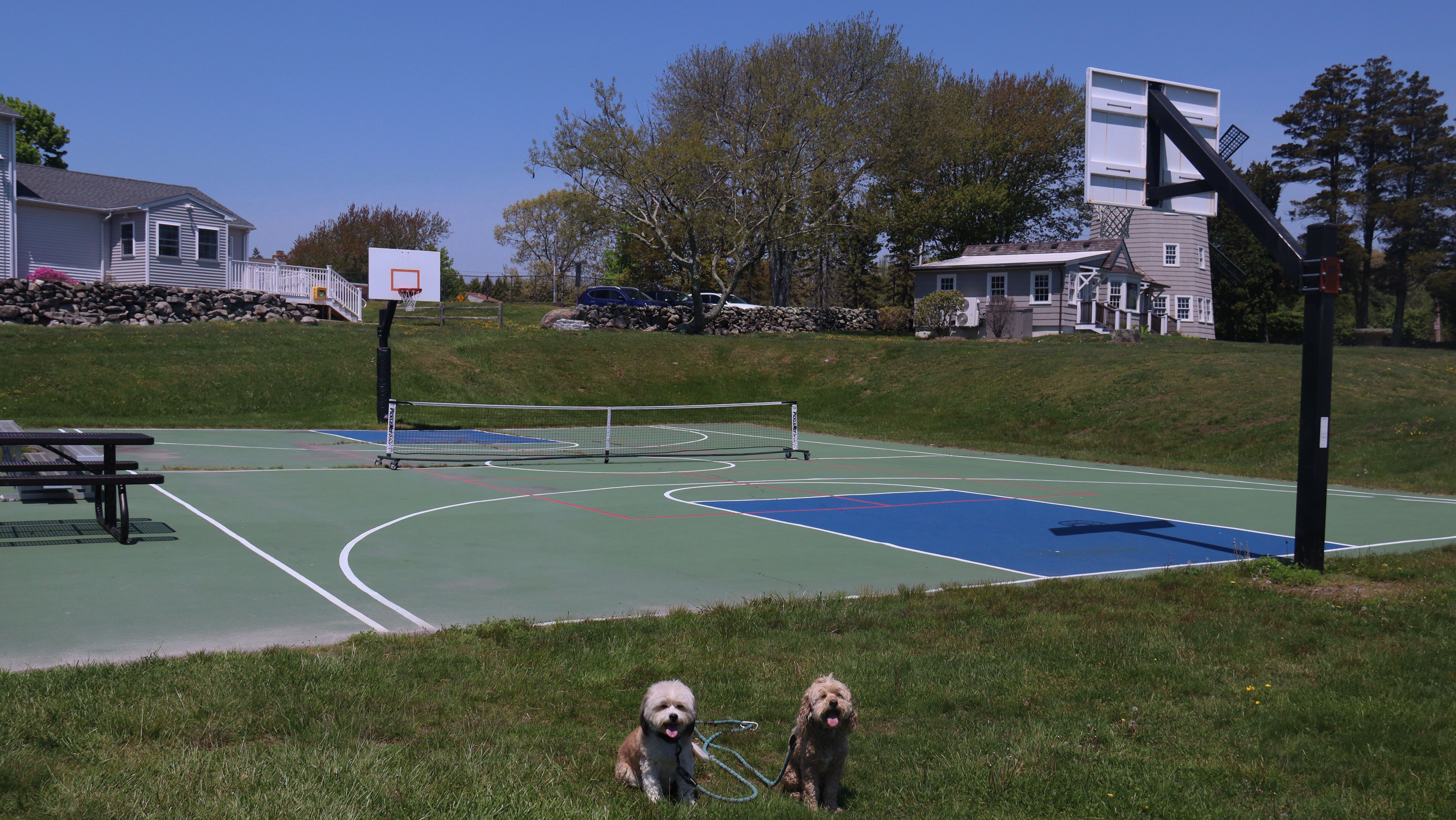
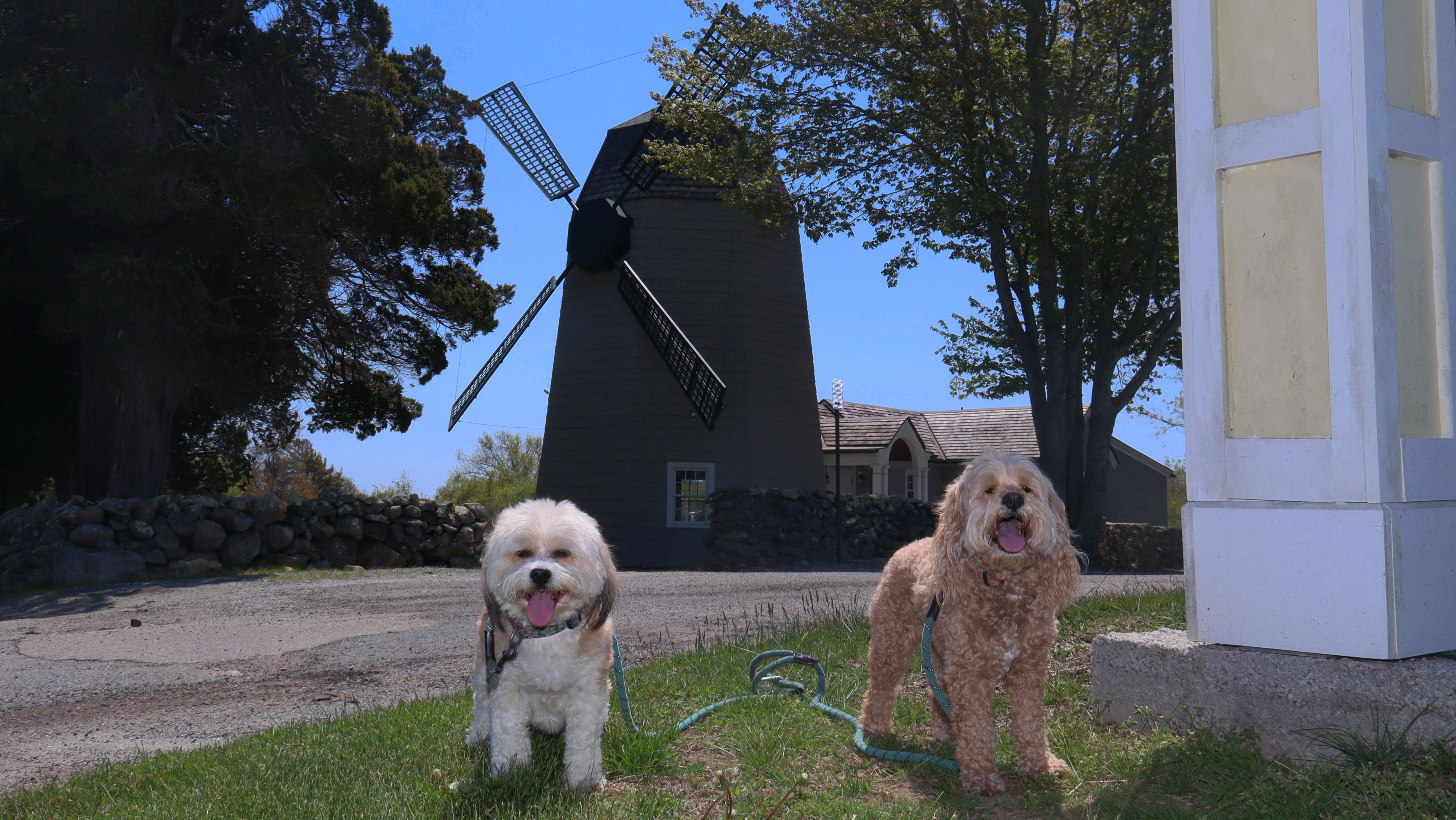
Date visited: 5/18/2026
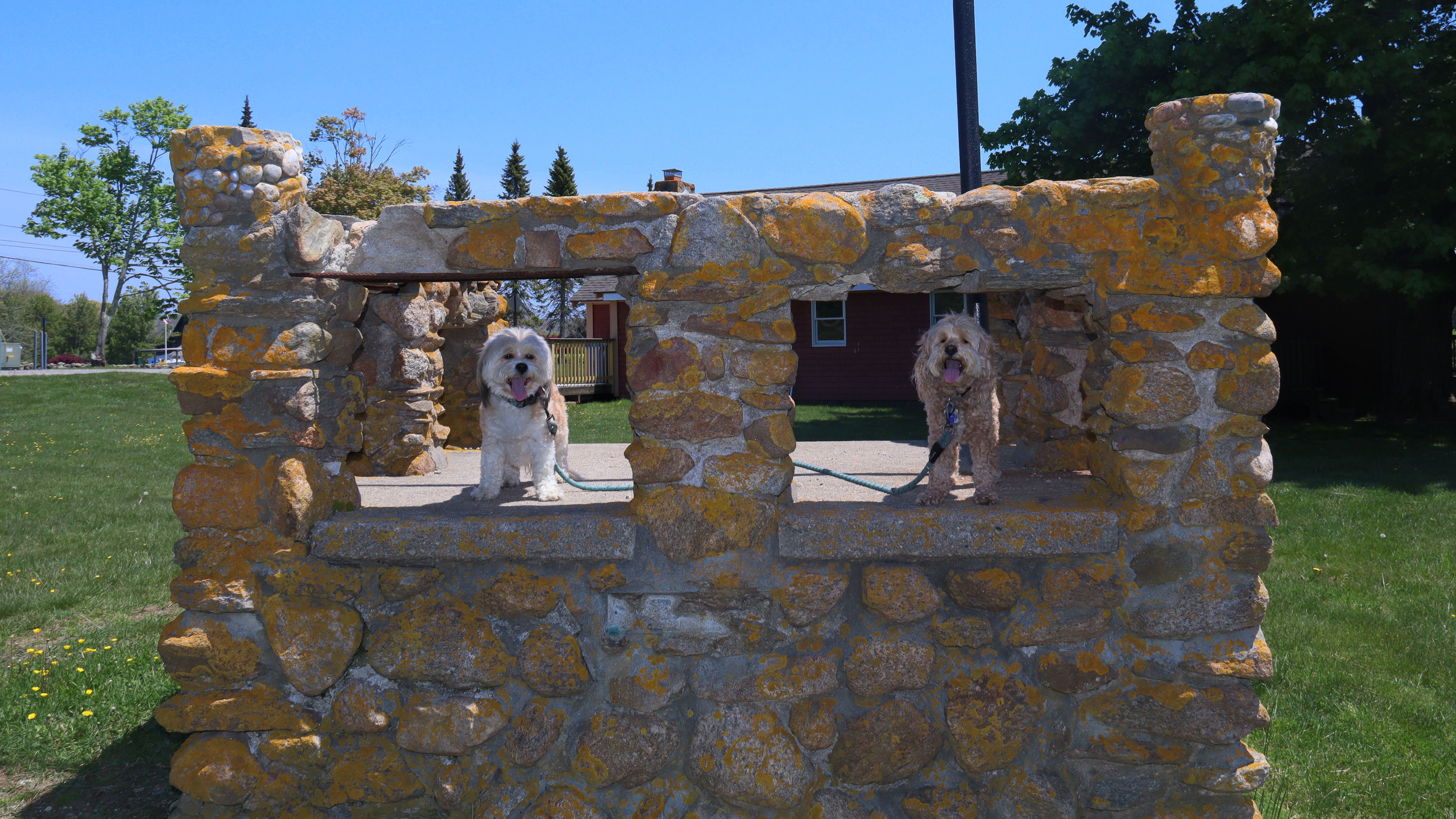
This is the windmill that sits on the grounds of the historical society. It's a pretty iconic structure in town that we've driven by many times before. We stopped here on our way to the Black Point, and took some photos of the windmill and the surrounding grounds. There is a park area on the grounds that includes tennis and basketball courts, as the town's park and recreation department is located here. There are also some picnic tables, and some old stone structures.
More Images